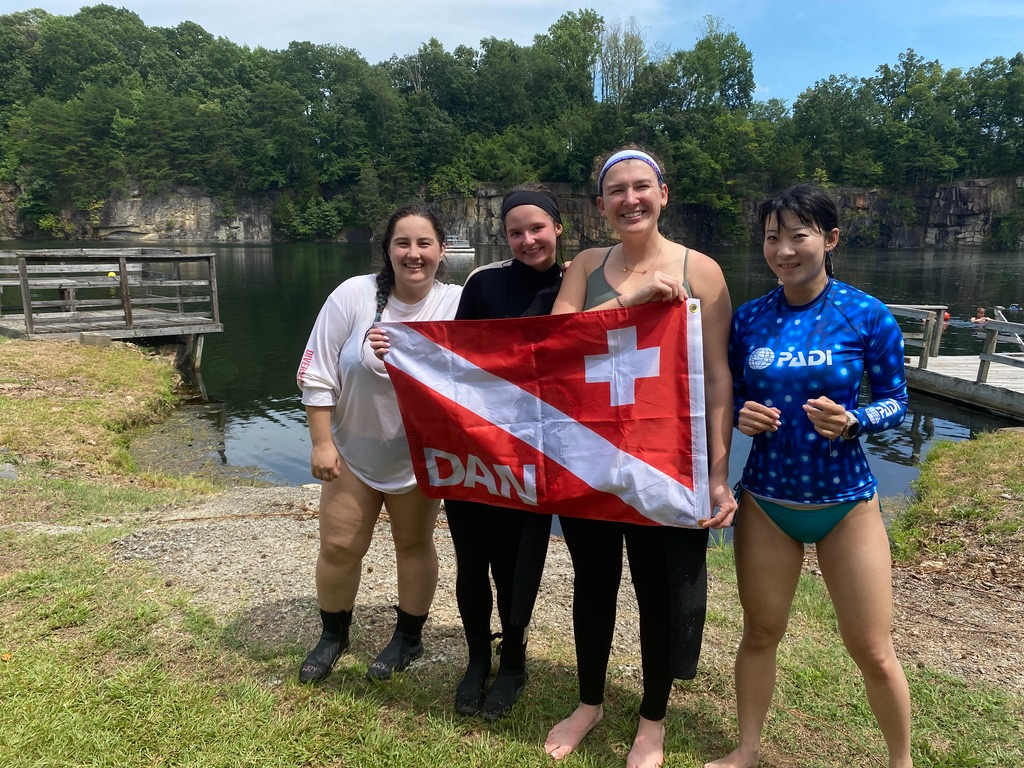
DAN 2025 Summer Interns at American Quarry. From left: myself (Anna Krylova), Sam Nosalek, Tyler Horton, and Ai Ren.
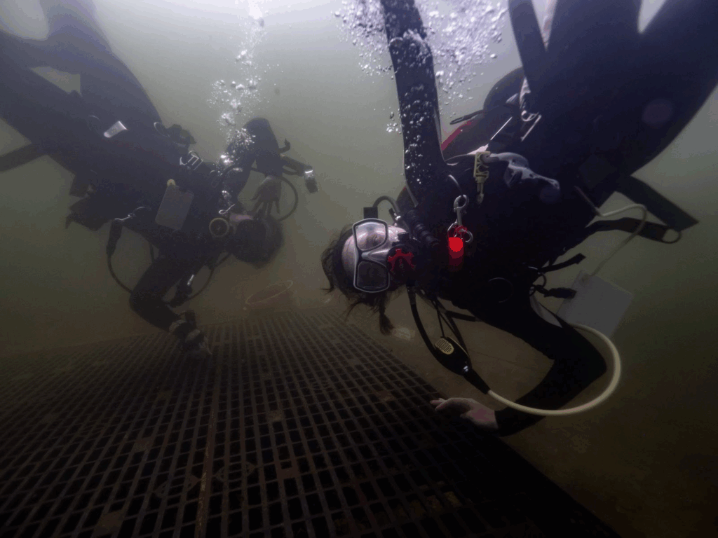
Tyler Horton (left) and Sam Nosalek (right) do handstands on a platform during our 3-minute safety stop.
The second half of my summer with Divers Alert Network has been as fast-paced and rewarding as the first. Between new dives, field research training, and bigger communications projects, every week has added a new layer to what I’ve learned here. But this month has really pulled me deeper into DAN’s research operations, giving me a closer look at how science, safety, and storytelling work together.
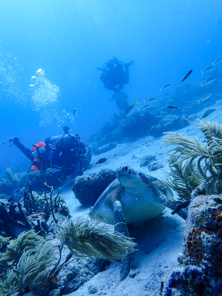
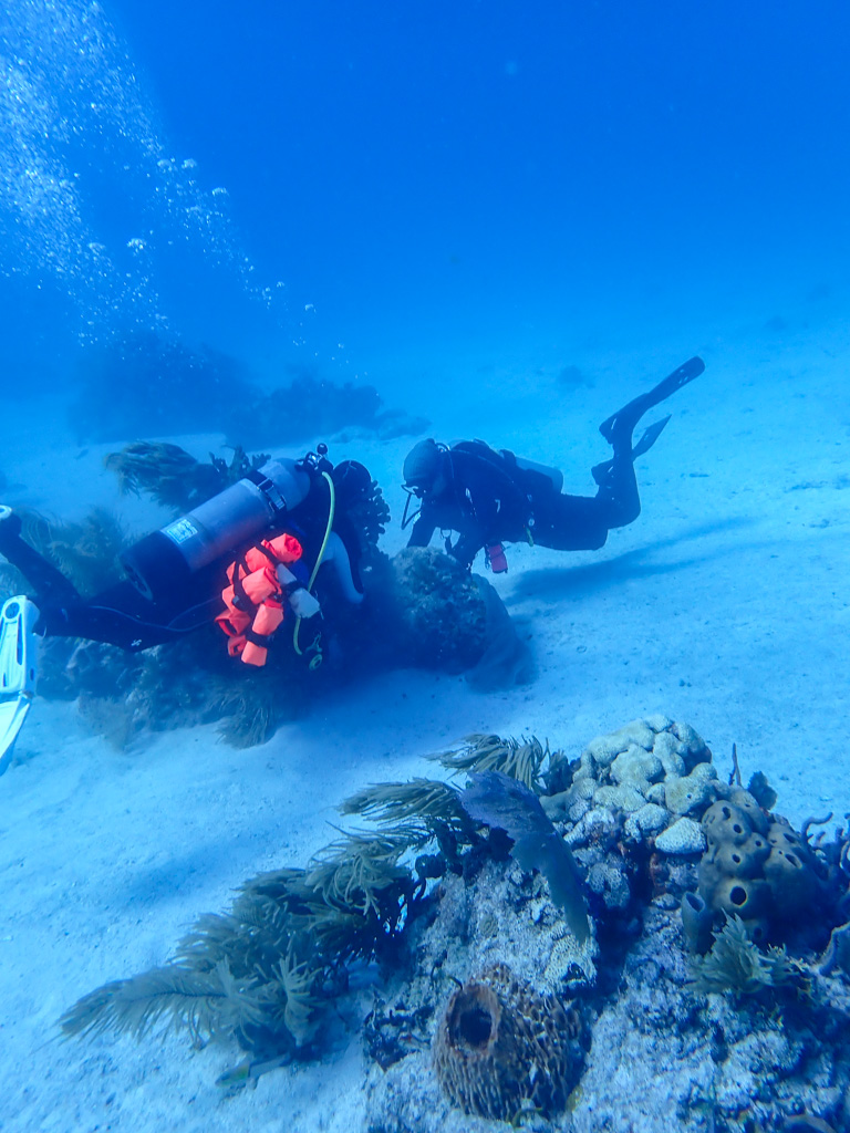
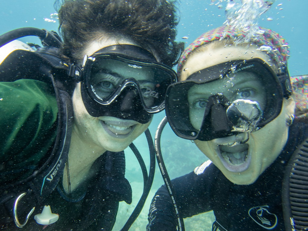
We kicked off July with the addition of our new summer intern, Ai, visiting us from Italy. Ai joined us for a dive at American Quarry during a treasure hunt event hosted by the Piedmont Diving Rescue Association, or PDRA, the local community that maintains many of North Carolina’s quarries. The event mixed community fun with underwater exploration, and it was the first time our full team got in the water together. One of the more surreal moments was attempting to jump on a submerged trampoline — something that turned out to be equal parts funny, weird, and technically difficult. It was the first time all four interns — Sam, Tyler, Ai, and myself — dove together, and it was a great way to celebrate how diving bonds people across backgrounds and experience levels.
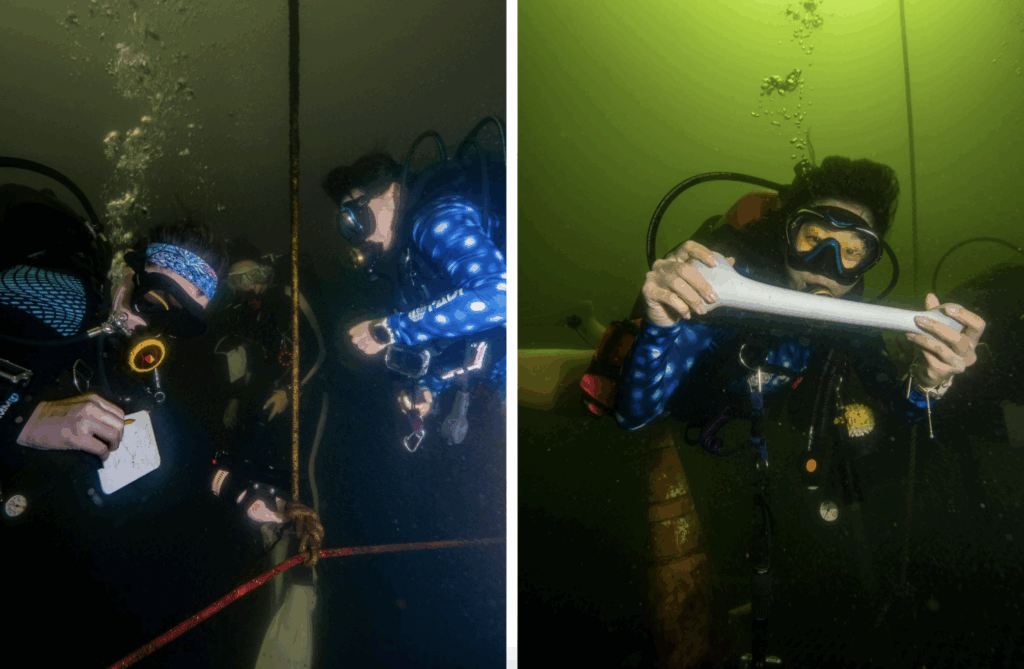
Left: Tyler, Sam, and Ai navigate at American, selecting the proper line to guide to the next sunken object. Right: Ai poses with a fake bone underwater.
Back in the office, projects picked up speed. My article summarizing findings from the lung squeeze survey was published, and I began work on a larger project: helping to revamp the DAN Store’s website offerings. That began with building a massive Excel sheet to catalog every product and its specifications. The goal was to update the copy, or product writing, to ensure it was clear, accurate, and consistent across categories. It was less glamorous than diving, but it gave me a better appreciation for how communication and precision feed directly into DAN’s mission.
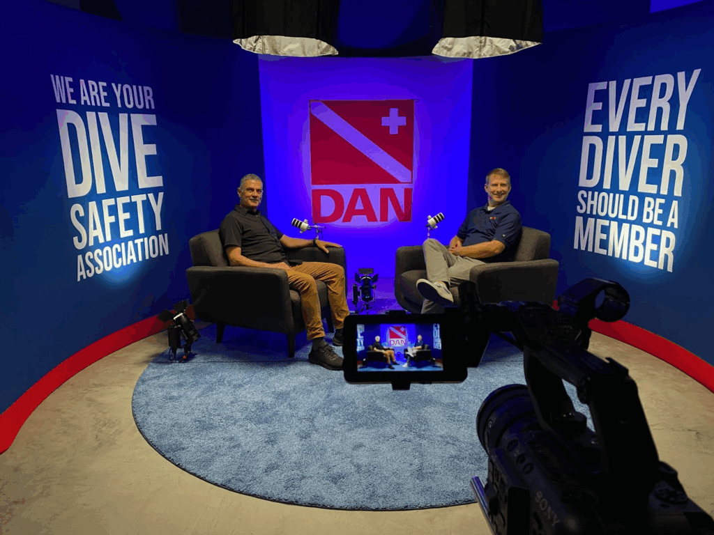
I also spent time in the media studio, getting to see the DANcast podcast setup and sit in on an episode recording. Having previously only worked on transcripts, watching the full production gave me new insight into how these conversations come to life. I recommend watching out for the upcoming CME episodes — they stand out for their practical takeaways, candid stories, and humor that reveals a different side of dive medicine.
Kirk Krack (left) is interviewed by DAN’s Director of Communications, Brian Harper, on the set of the DANcast in Durham, NC.
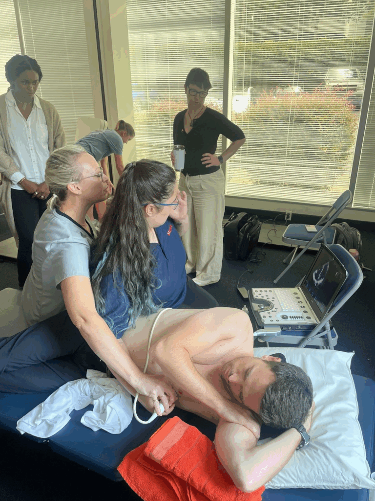
Jayne teaches me how to perform a 4-chamber ultrasound view of a heart on a lab member, while Frauke and others look on.
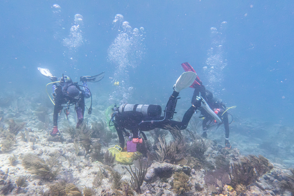
The most concentrated training this month came with the Field Research Operator Workshop, led by DAN’s VP of Research, Dr. Frauke Tillmans. Over three days, Frauke guided us through the logistics of conducting dive research on human subjects. We practiced taking a four-chamber ultrasound view of the heart to check for bubbles in both venous and arterial chambers, collected hydration data through urine osmolality testing, and learned how to conduct 24-hour dietary recalls and anthropometric measurements. These sessions, paired with presentations from Frauke and collaborators, gave me a much deeper appreciation for the complexity of running human research safely and systematically.
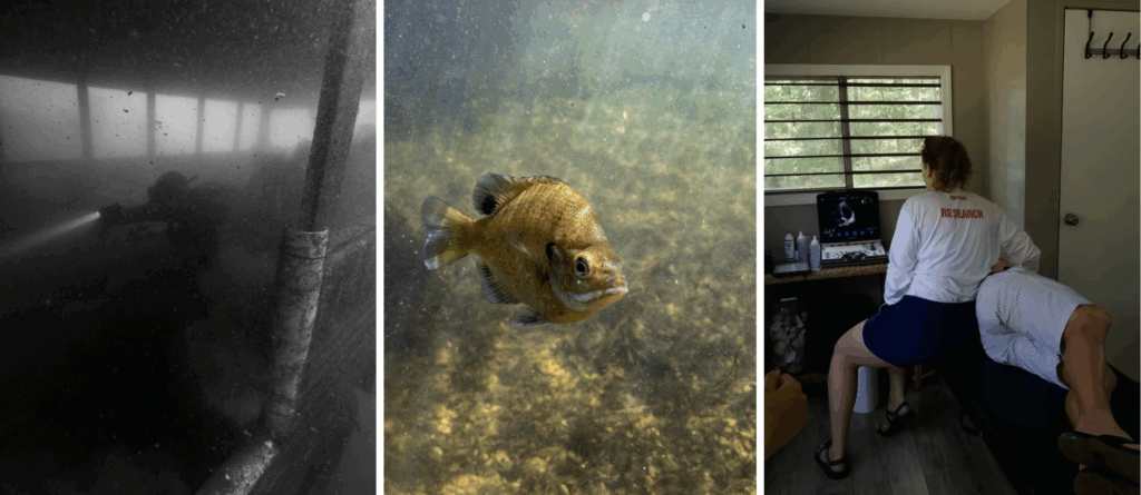
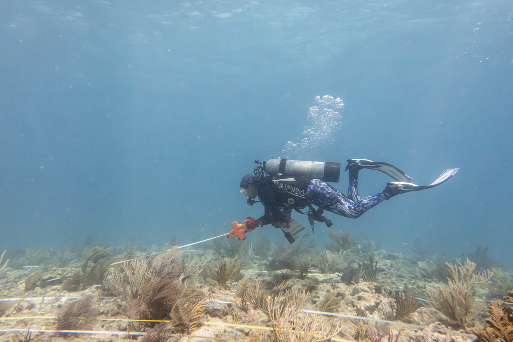
On the final day of the workshop, we brought everything together during a mock run of DAN’s recent VGE (venous gas emboli) study at Mystery Lake. I rotated between roles: documenting the study as the communications intern, collecting physiological measurements as a researcher, and even serving as a participant by joining a 100-foot dive. It was a rare chance to see every side of a project — preparation, data collection, and the diver’s perspective — all in one day. Afterward, we rounded out the weekend with fun dives, exploring some of the quarry’s sunken attractions.
Left: Participant diver swims through kicked-up silt in a school bus. Center: Possibly a Bluegill fish swims in the shallows at Mystery Lake. Right: Fellow intern Tyler Horton runs through the mock trial, performing an ultrasound on the interval mark.
In the DFA Course, Tyler and Ai practice providing CPR and administering oxygen to a mannequin.
The month closed with the Diving First Aid (DFA) course. I had first taken this training two years ago during my scientific diving certification and was struck by how in-depth, extensive, and specific to marine sports it was. I appreciated being in a course that encouraged questions and directly addressed the realities of my work — as a former sailing instructor, my main concern with CPR was always drowning, which wasn’t covered well in standard classes. Renewing my certifications with the very organization that wrote the book on diving first aid was not only a valuable refresher but also an opportunity to give feedback as a student.
Altogether, July brought a shift from settling in to truly engaging with DAN’s research and training, and it left me better prepared — both in and out of the water — for the final month ahead. And while I hope future fieldwork involves fewer unexpected bat encounters, at least I can say I’m now well-versed in both dive medicine and rabies protocol.
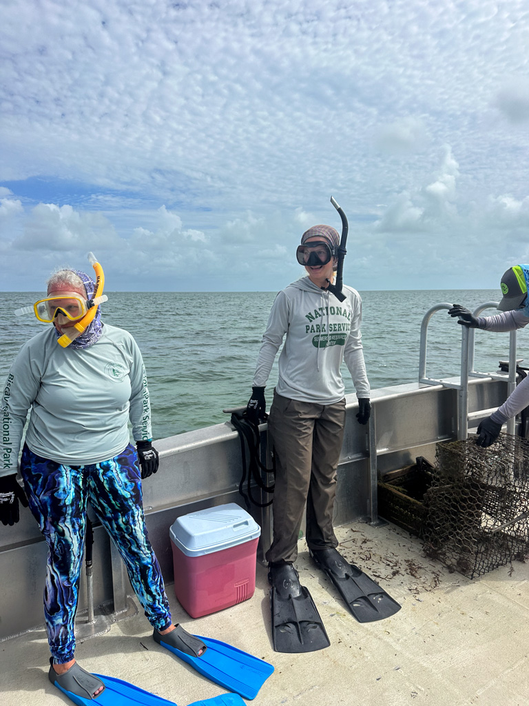
My second week at Biscayne kicks off the derelict trap retrieval operation everyone at the office has been anticipating. This is the one week, every two years, that they can remove whatever lobster, stone crab, and blue crab traps they find. This is the only ten day period every two years during which blue crab season. For this week, and this week only, all three traps left in Biscayne National Park are illegal, because all three fishing seasons are closed. The team has been carefully recording the locations of traps for the last two years, and if they are still in place, they will know for sure that they are derelict, abandoned, or illegal.
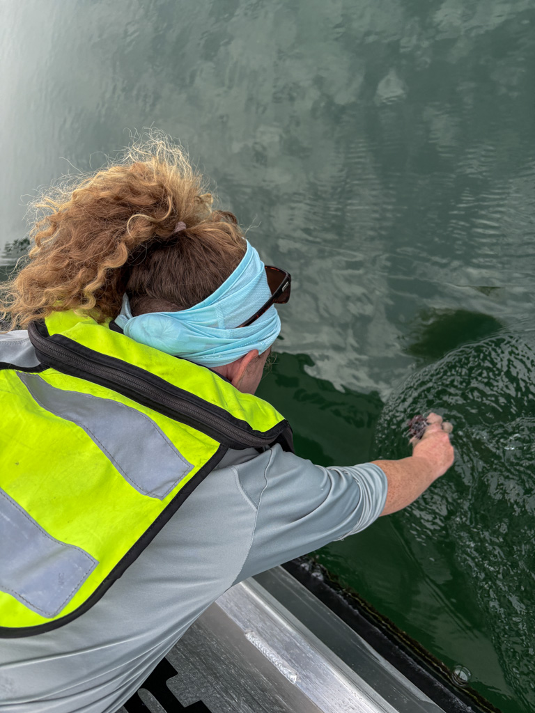
Monday, we also conduct some turtle surveys, collect water samples for red tide, and remove any derelict traps we spot along the way. The bay is a smooth mirror and we can see everything from the boat, right down to a little nurse shark snuffling its way through the eelgrass. The water is so clear that when I jump in to grab two traps without buoys, I can see without a mask. Pulling up older traps is like pulling up a treasure chest. They are packed with lobsters, crabs, brittle stars, and translucent baby Caribbean octopuses with eyes like opals. Seriously. They are the most amazing glittering blue orbs in an otherwise colorless little slime ball of cuteness.
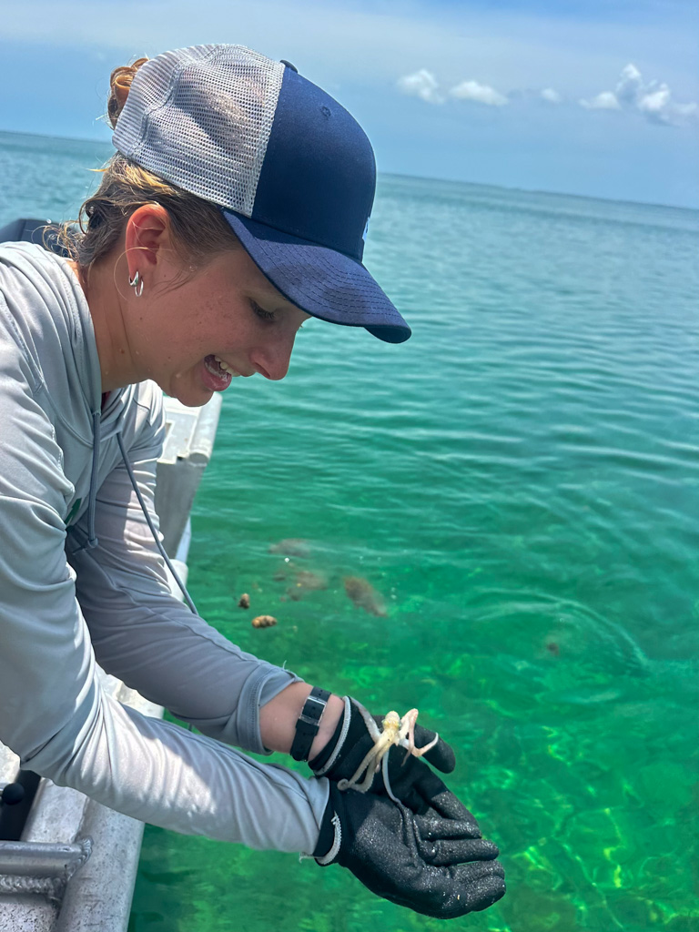
Adorable little Caribbean Reef Octopus and Delaina collecting water samples. Mornings like these are such a treat to enjoy. Photo Credits: Delaina Ross.
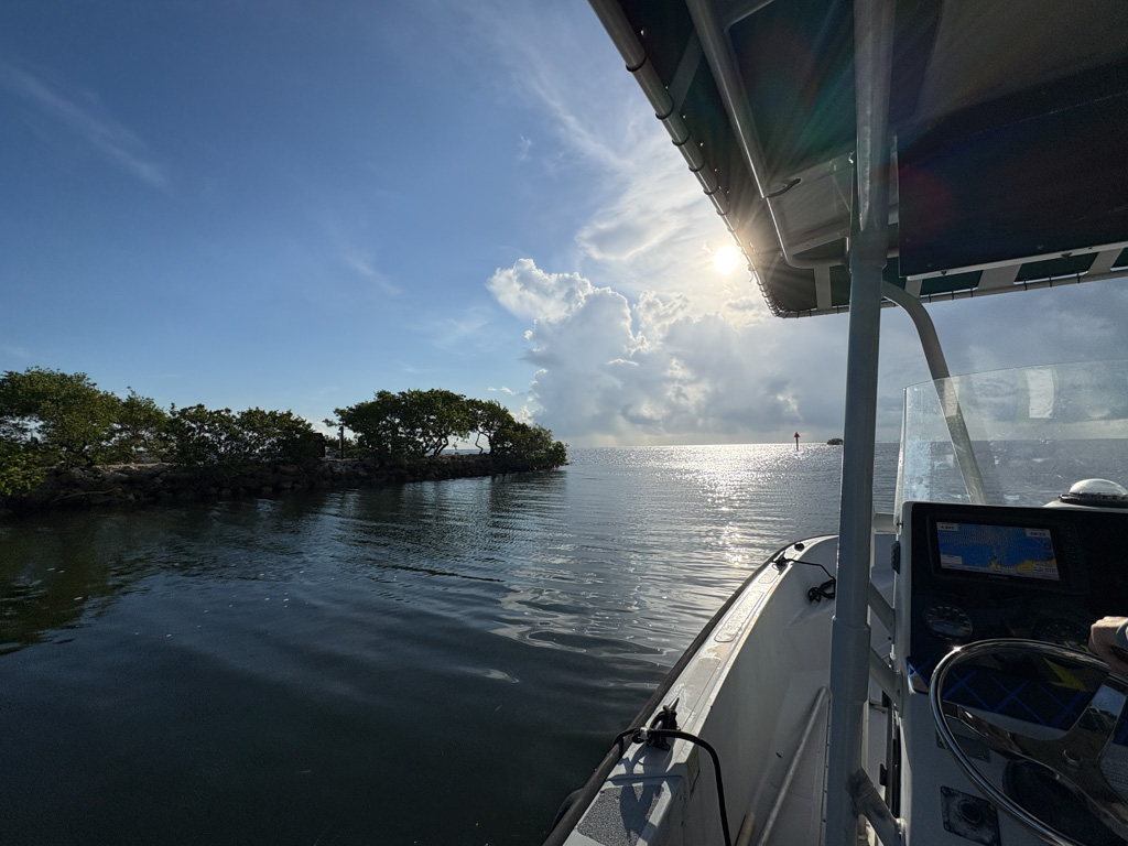
After a week of calm seas and skies, Mother Nature decided that this week of all weeks was the time to let loose. The forecast shows an onslaught of thunderstorms peppering Biscayne National Park all week. Luckily, being in Florida means it could be pouring buckets on you, but if you slung your dive buddy off the boat, they’d be under sunny skies. I’m not strong enough to throw them overboard with their steel cylinders (if you haven’t picked up by now, I have a grudge against the steel 120s), so I guess they’d be stuck in the pouring rain. After careful consideration, we head out, with a watchful eye on the radar, ready to dodge storms if needed.
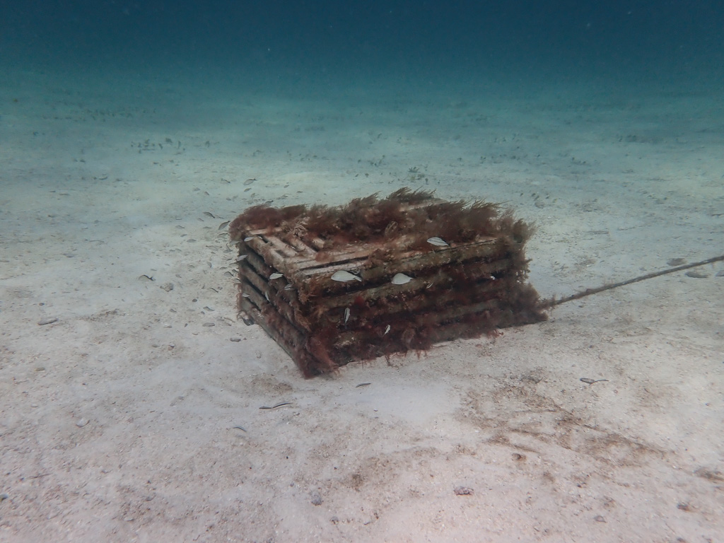
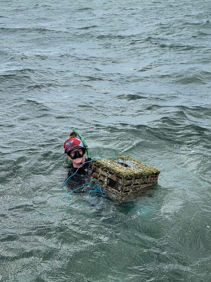
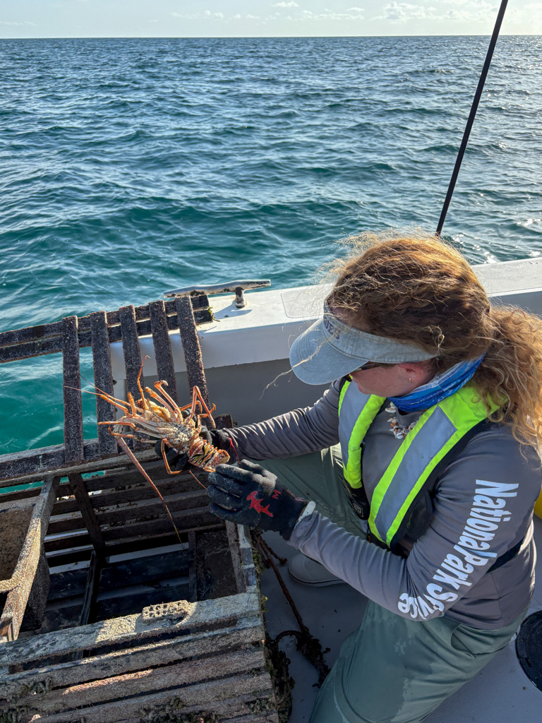
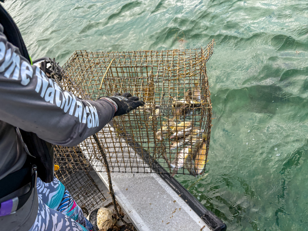
Removing derelict traps is no joke. A lot of traps are weighed down with ballasts, which are concrete slabs poured into the bottom of traps to keep them on the ocean floor. Lobster traps are by far the heaviest, made out entirely of wood and concrete, and can weigh up to 70 pounds. Wet and biofouled, ours have weighed in at over 100 lbs. It usually takes two lift bags to get them to the surface. This requires careful coordination between a buddy pair to make sure they are filling each lift bag with air at the same time so that the trap rises in a controlled manner to the surface. At one dive site, Rachel Fisher, Amanda Rivard, and I follow a line of traps for a couple hundred yards, but for what feels like miles as we kick into a strong current.
You can never take enough lift bags on a dive. Photo Credit: Amanda Rivard
As soon as you think you are exhausted from digging broken traps out of the sand, swimming against strong current, and untangling heavy lines fouled with sponges, algae, and (my favorite) fire coral, you find yourself up on deck hauling in trap after 70 freaking pound trap. Pretty quickly you find yourself excited to get back in the water, and so the cycle continues. Back at the park headquarters, all the debris needs to be sorted, weighed, and taken to dumpsters. It’s challenging work, but I enjoy getting to be with a team of upbeat, funny, and motivated people. While having mostly female teams can still be a rare occurrence in many scientific fields, Biscayne’s divers set amazing examples to look up to, and they kick some serious butt. I’m thrilled to get to work and learn alongside them.
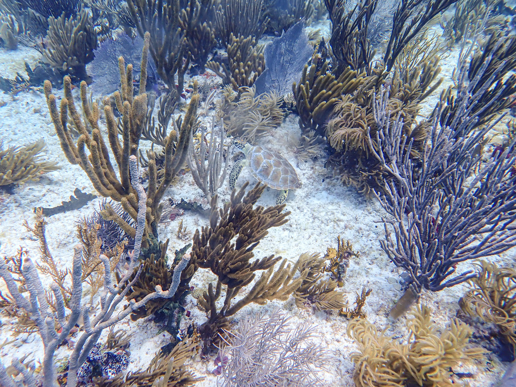
While I admit I spend a good part of my dives staring at the bottom and cursing traps through my reg, Biscayne National Park refuses to be ignored. On one dive, loaded up with a plethora of lift bags, clips, and mesh bags, we descend onto a beautiful reef with a friendly turtle, nurse shark, and even a moray eel! If my internship ended the next day, I would be content with all I saw! Even more exciting is our second dive. Amanda Rivard picks out a reef patch for some scouting work that has an average depth of around 15ft. At first, it seems devoid of hard corals but is a beautiful garden of purple and orange gorgons and sponges. Then, as we hit the end of the patch and start returning on the West side, I notice Rivard freaking out.
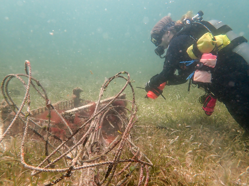
Amanda Rivard (left) and I (right) observing a turtle and untangling some rope. Photo Credit: Delaina Ross
My concern turns to amazement as I see the staghorn coral, Acropora cervicornis (Acer), littering the side of the reef patch. Rivard, Delaina, and I all look at each other in disbelief. Seeing healthy Acer in South Florida is now rare, as the compounding effects of extremely warm temperatures in the summer and disease outbreaks reduce whatever populations are left to deeper reefs (National Park Service). Observing this coral growing pleasantly in about 12ft of water is mind-blowing and so exciting. When we get on the boat, Rivard immediately contacts the restoration team. These corals are large enough to spawn, meaning they could add genetic diversity and heat resilience to the coral restoration nursery.
Photo Credit: Delaina Ross, Amanda Rivard
It’s easy to fall into a rut of only seeing environmental destruction in the field and feel pretty pessimistic about the future of our natural world. Getting to see this resilient coral, which has seemingly defied two recent heat waves, hurricanes, and the pressures of marine debris from fishing, gives me hope. Apparently, I give the Biscayne team hope because they joke they should start taking me on each dive as a lucky charm after our day of turtles, sharks, coral, and more.
Spot the turtle! Photo Credit: Amanda Rivard
On the last day of trap removals, we head out on the Bay as offshore weather is a little too spicy for diving. We have a tough tide window to work with, and end up doing a lot of wading to get to traps too shallow to reach with the boat. At one point, I reach to grab a trap buoy, and end up back-flopped, belly up, staring at some clouds while my legs are bent at 90 degrees, disappearing in mud up to my knees. I was hoping no one saw, but when the water had drained from my ears and I pulled the sargassum off my head, I found an entire boat of people laughing at me. The wind is strong, and Delaina and Shelby rise to the challenge of keeping our flat-bottom boat (fondly nicknamed the “hockey puck”) from sliding all over the surface as we try to pull up to traps. I get to meet beloved long-time volunteers Suzy Pappas (Coastal Cleanup Corporation) and Frank Reyes (Mangrove Sasquatch), who also each coordinate beach cleanups and community outreach events in their own time. The stewardship that they and other volunteers show to Biscayne National Park and the surrounding area is a testament to how dedicated they are and how beloved the park is.
Suzy and I about to jump in for a trap. Delaina with a stone crab trap. Photo Credit Delaina Ross, Frank Reyes
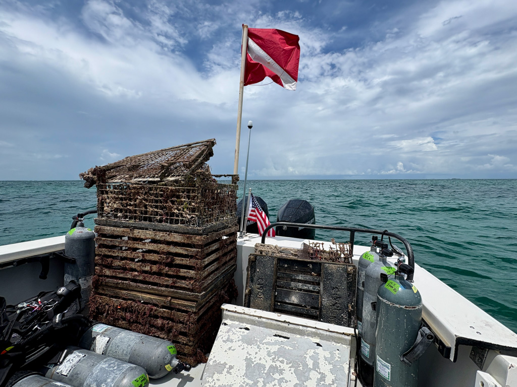
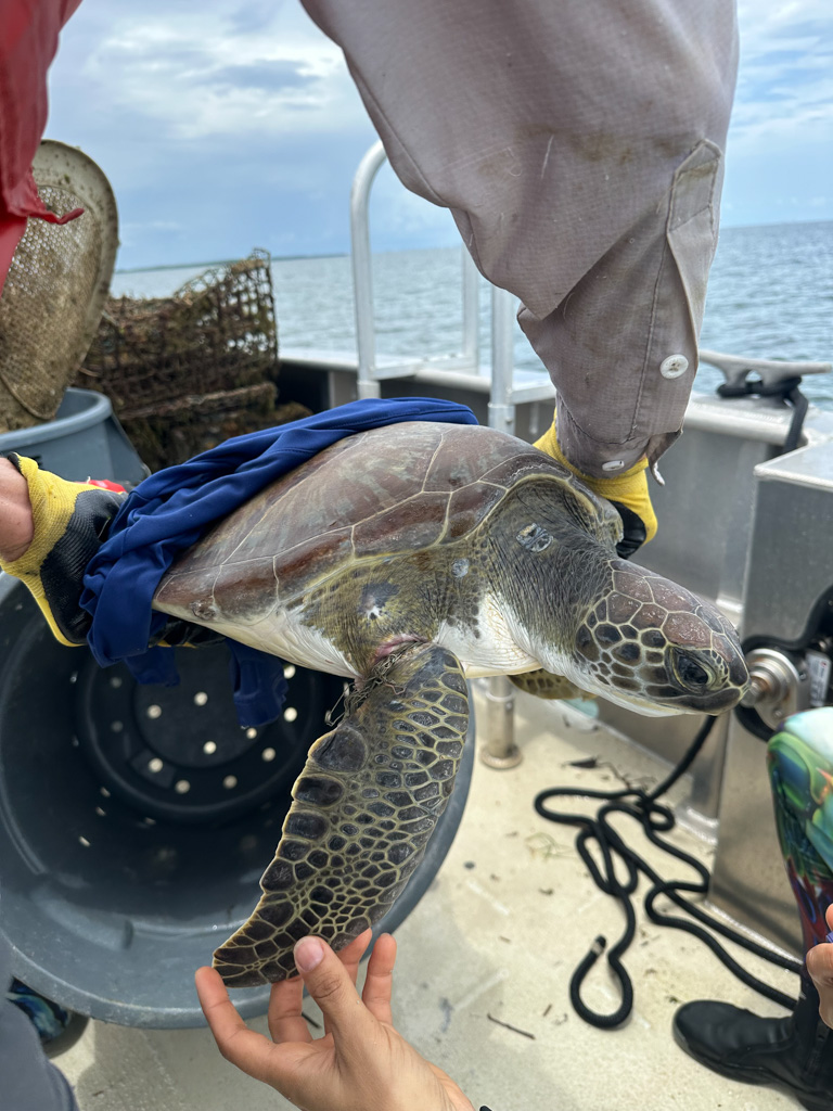
By the end of derelict trap week, we have removed over 85 traps, 5300+ pounds of debris, and approximately 2.6 miles of trap line. Countless stone crabs, blue crabs, lobsters, and other bycatch like nurse sharks were saved from derelict traps. To be clear, the fishing community was not being robbed of its dinner! Most of these traps were super old (besides being illegal) and would have never been found again. One of the teams was also able to save a sea turtle entangled in trap line, highlighting the danger of this marine debris and the importance of removing it.
Photo Credit: Frank Reyes
At the end of the week, with the little free time I should have used to sleep, I’m able to connect with the 2025 OWUSS REEF Intern, Imogen Parker. I attend a coral outplanting workshop with the organization I.Care in the morning and then join her on a boat ride to one of I.Care’s sites. Getting to carefully clean algae off the outplanted coral bases was a peaceful end to a strenuous week of diving. The divemaster literally had to take the toothbrush out of my hand to tell I was done with my site. I personally think there were a few more pieces of algae that needed some attention. Finished with our sites, Imogen and I had fun getting to goof off together, and we ended International Women’s Dive Day with some fish tacos.
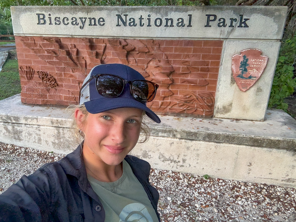
The first thing I learned at Biscayne National Park is that I am, in fact, not faster than a mosquito. After being picked up from the Miami airport and driven to Park Housing by Park Biologist and DSO Shelby Moneysmith (on her day off, too, because she is the best), I decided to go for a short run after a couple of cramped hours on the plane. It’s a short story and was an even shorter run because the mosquitoes ate me alive.
They become an ever-present part of my time at Biscayne and relentlessly torment anyone caught outside. Shelby says they are worse because of a recent week of rain, but I think she is trying to make me feel better about slapping and swatting while everyone else stoically endures the feasting. I try my best to ignore them, but by the evening, my face, neck, ears, and hair are crusty with mats of dried, smeared mosquitoes.
The last known photo of the two giant horseflies on the side of my hat.
Luckily, most of the days at Biscayne are spent out on the water, a mosquito-free paradise of turquoise blue. Compared to the cold, low-visibility waters of the Pacific Northwest, where I started my Scientific Diving journey, Biscayne is paradise. Looking down at coral patches from 40 feet above on the boat is unbelievable. My first day at the park, I get in four dives observing Shelby Moneysmith, Ana Zangroniz, and Amanda Rivard as they do fish ID Reef Visual Census (RVC) surveys. I also assist in marine debris removal and scouting for derelict lobster traps.
Biscayne National Park is unique in that it is one of the only National Parks to allow fishing, both recreational and commercial, within its waters (National Park Service). This means it has unique conservation issues, such as ropes, lines, and traps left behind from fishing. These items often foul up with algae and encrusting sponges where they sink to the ocean floor and can smother, tangle, or rip up precious coral habitats, especially during rough weather. At one site alone, we removed over 100 pounds of line.
Next week will be the only week of the year when it is illegal to leave out lobster, stone crab, and blue crab traps. Blue crab traps are only out of season for 10 days every other year. This means park staff basically only have one week every two years where they can go out and determine, which traps are derelict (forgotten, lost, left out “accidentally”) or illegal, and can do a large-scale removal.
Delaina examining a lobster from a derelict trap.
The next day, I head out with Delaina and Bianca, both Scientific Divers through Florida SeaGrant, on a project that is in collaboration with Biscayne National Park. The goal for the day is to find and remove any derelict lobster or stone crab traps. Until Friday, all blue crab traps are still legal. We spot two buoys right away and notice both are missing identification tags, which means they are illegal. However, neither seems derelict (missing parts of the trap indicating it is no longer/can no longer be used). Since this is more in the domain of park law enforcement and not within our jurisdiction, we put the traps back but drop a pin so we can return if needed.
We head out on a pretty calm morning, which is important for spotting traps in the shallow waters. Bianca examining an illegal trap with no identification tag.
The rather quick start to our day is misleading, and we spend the next couple of hours carefully navigating around the Featherbeds, which are shallow, sandy shoals. We scan the clear water for anything that could be trap material since lobsters and crabs like to burrow into the sandy banks of the shoals where they drop into deeper waters, making this a popular trapping spot. To Delaina and Bianca’s surprise, we don’t find anything. This could potentially mean recreational and commercial fishers are respecting the laws more than in previous years, or it could mean my trap-spotting abilities are subpar. I’d like to think it’s the first explanation.
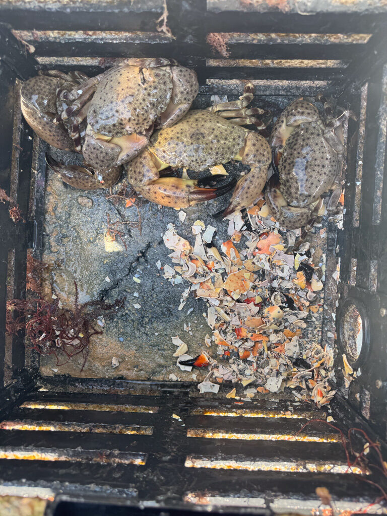
Finally, we spot a buoy off in the distance, and upon closer inspection, pull up a stone crab trap. Inside are four stone crabs and the remains of many more. If stone crabs are stuck in traps together, they will eventually cannibalize each other, another reason why derelict traps are destructive and should be removed.
This trap had been left for a while, based on the algae fouling the outside and the amount of cannibalized remains.
Based on the number of claws we pulled from the trap, Delaina estimates that at least three crabs had been cannibalized, and the smallest of the four had already shown fresh wounds, indicating early attempts. It was a pretty good feeling to return them to the ocean, even if this included scooping them up and then a less than gentle toss overboard to avoid their large claws.
This was my first time seeing a stone crab, and I was impressed by how beautiful their spotted shells were, although I’m not sure they had as nice things to say about me as I chucked them overboard. Photo credit: Bianca Banato
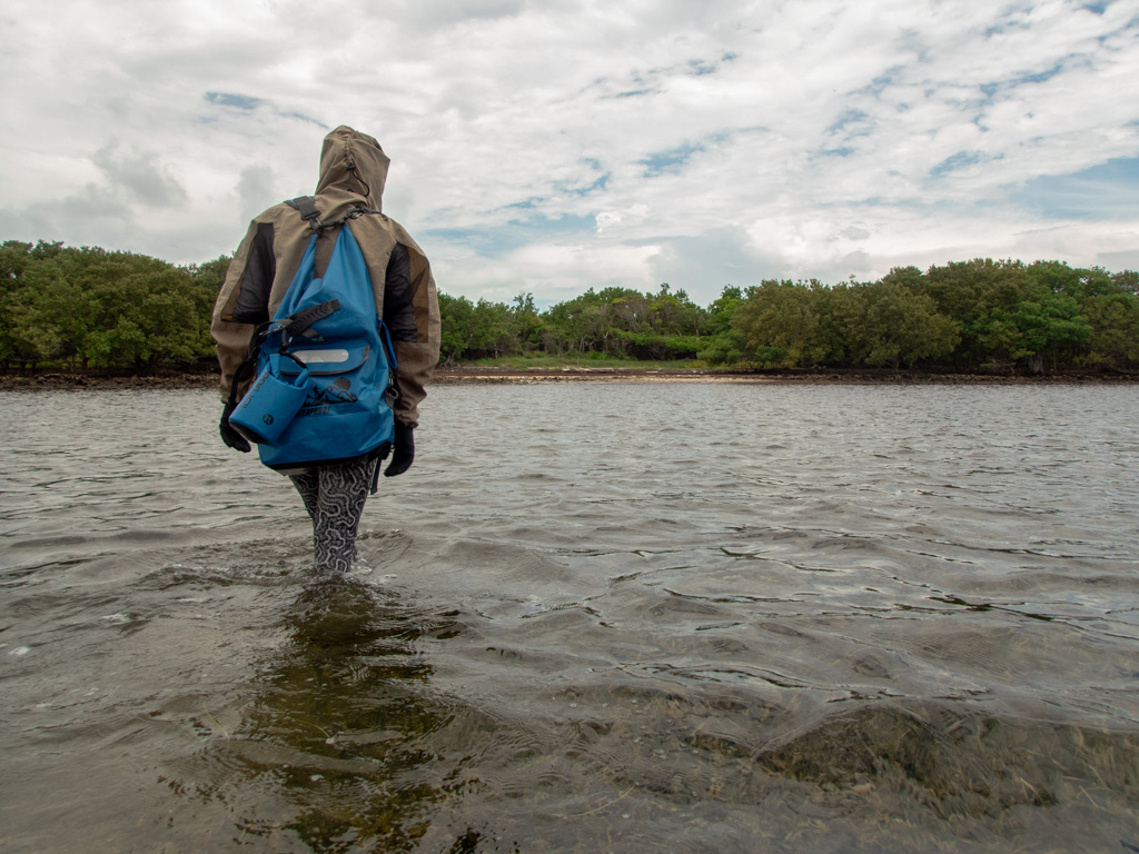
Thursday, I head out again with Delaina and Bianca for turtle surveys which include looking for signs of crawling, new nests, and predation. We also try to pick up what trash we can, because the beaches are covered in it. Rope is tangled in the thick mats of sargassum that wash up on shore, and anything from buoys, beer bottles, and shoes to makeup containers and coolers is littered along the coast. We squelch our way through mud of a particularly fragrant odor and try to weave through mangrove branches that have a hankering to slap us in the face. The mosquitoes… well, I digress, words can’t do them justice. Thankfully, I get to wear a bug jacket, and the mesh keeps them from hungrily chewing at my eyeballs like usual. It quickly becomes my favorite piece of clothing that I’ve never owned.
The trip to the beaches involves a chest-deep wade through the water and sargassum mud.
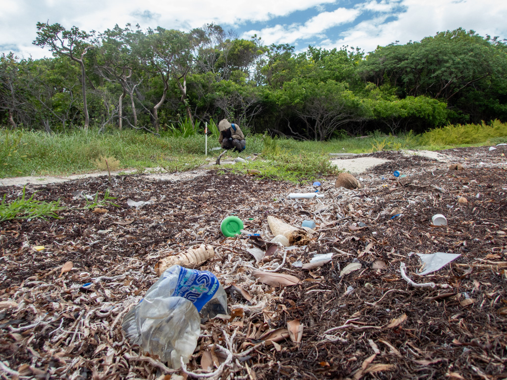
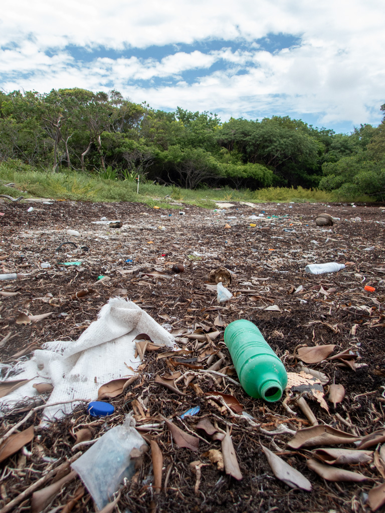
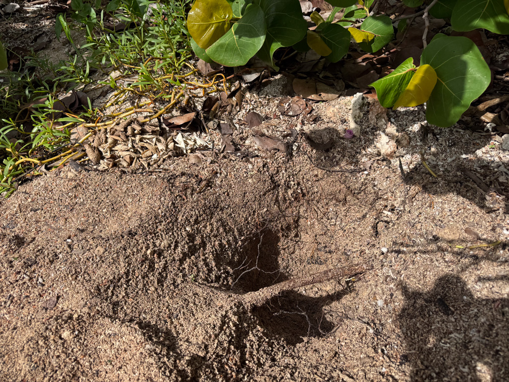
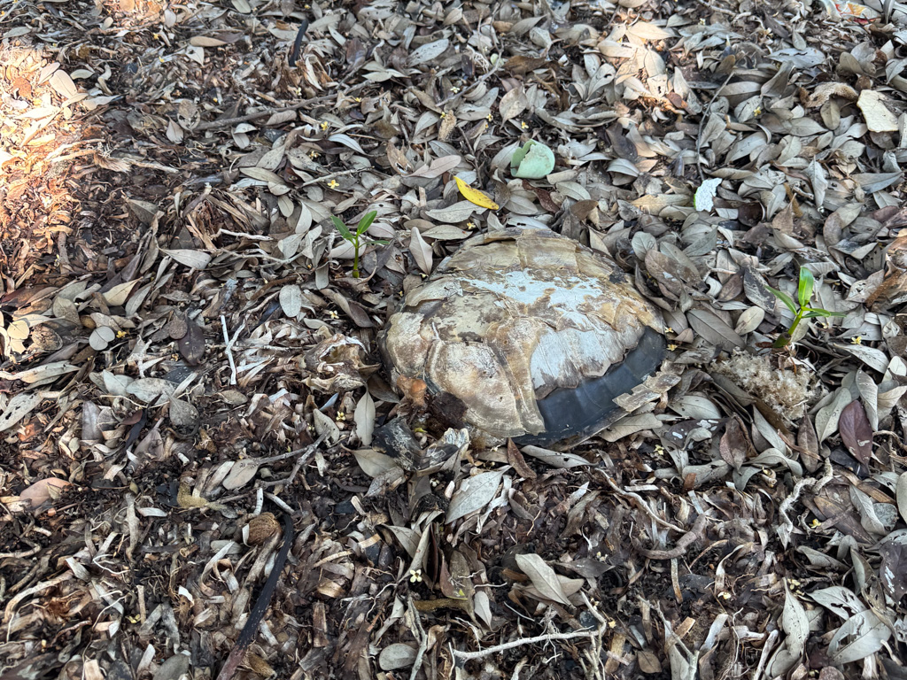
Bianca and I eventually come across a marked nest with a few eggshells strewn about. She excitedly grabs them to verify hatched turtles, and her face drops as she points out incision marks on the leathery, shriveled material. She explains that this is a sign of predation from ghost crabs. The mood turns somber as we excavate the rest of the nest and find evidence of 107 eggs, all likely predated by ghost crabs. It’s a huge disappointment, especially when it’s such a large nest and had the potential of producing many offspring that could return to the beach and lay their own eggs. As we solemnly put the nest back and record our data, the scene in front of me is bleak. Even if every single turtle in this nest had hatched and survived predation, they would have needed to navigate their way around and over the mounds of trash on the beach to make it to the ocean. The haunting scene of bleached bones and carapaces, barely discernible between the bottles and buoys, tells the story of adults who returned only to die on these beaches.
What may seem like only a few pieces of plastic close to the nest turns into a barricade of trash at the high tide line.If you look closely, you can see a pile of predated shells in the top left corner of the turtle nest. The remains of a stranded turtle are in the right photo. Photo Credit: Bianca Banato.
It’s easy to jump to conclusions. Well, why doesn’t the park keep its beaches cleaner? Why don’t they pick up the trash? The simple and honest answer is that they do. They spend countless hours navigating miles of beaches, braving the heat and mosquitoes, regularly picking up hundreds of pounds of trash both in and out of the water. And so do numerous volunteers, participating in Biscayne National Park’s Beach Cleanup Program. The truth is that beach cleanups aren’t going to save the turtles when trash, specifically, plastic, continues to stream in from users of the park and beyond. Curbing the amount of plastic that ends up in the ocean is the only true solution to this problem. But that includes a community and cultural shift in behavior and values, and realistically, beach cleanups are Biscayne’s strongest tool at the moment.
On a happier note, some baby raccoons await us at the dock. As Delaina expertly guides the 27ft Munson into the park slip, a huddle of people at the next boat over draws our attention. After some investigation, the most adorable bleary-eyed raccoons gaze up at us from their nest of rope in the anchor hold. Their mom watches us unconcerned under the shade of the nearby dock ramp, escaping the blistering heat.
What I got to see versus what I imagine the raccoons got to see.
Friday, I get to head out with the coral restoration team to observe their surveys and get some practice with the camera rig Brett Seymour from SRC sent me with. Before I left, he told me it was idiot proof and while I like a good challenge, I felt this wasn’t the time or place. This is my first dive with the steel 120s that everyone uses at Biscayne. I’ve been intimidated to go near one so far, probably because I’m imagining a scenario where I go to pick it up in front of the team and it doesn’t budge. Thankfully, I make it into the water, steel tank, camera, and all with no mishaps, and then proceed to have the longest dive I’ve ever been on at 163 minutes. The restoration plot is shallow, an average of 18ft deep, and I watch (very unhelpfully) as the coral team sets out many transect tapes and surveys the site.
Outplanted coral. Still figuring out exposure and other settings…Rachel Fisher, Gabby Cabral, and Laura Palma from the coral restoration team doing transect surveys at a coral outplanting site. As you might notice, there isn’t much naturally surviving except some soft corals called gorgonians.
The swell is pretty strong, and they work hard to keep on task as they get rocked back and forth across the plot. I focus on not crashing into their outplanted coral with my heavy tank and awkward camera rig because that would be the most horrible and shameful event of my life. Besides the event earlier in the morning, where I almost let my housemate’s cat escape out the door into the mangroves. The Turkey Point Nuclear Generating Station is just down the bay, known for the most robust population of American crocodiles in the United States due to the warmer discharge water. I’ll leave it at that.
Bender safe and sound no thanks to me.
With both the cat and coral surviving my presence, we stop at Boca Chita Lighthouse to eat lunch and then go back to headquarters to finish up the day. I walk back to the housing, more than a little hungry, contemplating whether iguana tastes good and how fast my first week at Biscayne has flown by. Turns out I’m not fast enough to catch them anyway (only to say hi, I swear), and they all skitter safely away, probably on their way to invade the continent.
Cute little flamingo tongue hanging out on a gorgonian.
Anyone who knows me might be surprised to learn that I traveled to New York City. After all, I am usually found far from towering buildings, definitely covered in dirt, probably a little stinky, and ideally with a critter in hand. Navigating a big city like NYC was new to me, and while I wasn’t used to having to be clean and smell nice, I was looking forward to checking a rat eating pizza off of my critter bingo card. All of this to say, even outside of my “natural habitat”, I had the most amazing time in NYC because I was meeting wonderful, friendly people all brimming with the most incredible stories.
The first day, meeting all the other interns and scholars is a bit intimidating, but quickly becomes a fun adventure. We eat yummy bagels and navigate angry cyclists, all while getting to learn where everyone is from, their diving journeys, and their hopes for the next few months. Getting to listen to past interns and scholars present their experiences the following day is like getting to watch a live mashup of Planet Earth, NatGeo, and perhaps a little bit of Red Bull TV. I sit in awe, thinking, “I’m supposed to stand up there next year and be this awesome.”
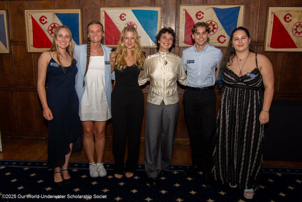
The 2025 OWUSS Interns. Hint: My hair is covering my name tag.
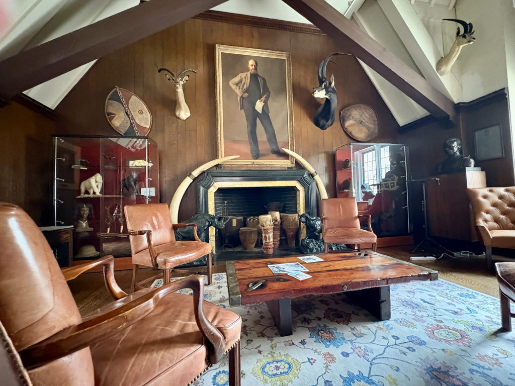
The Explorer’s Club is absolutely the most interesting building I’ve ever been in, with each component, from floorboards to artwork, telling a story. I was also thrilled to be reunited with the two 2024 AAUS Interns whom I had become good friends with the previous summer at Shannon Point Marine Center. The weekend flew by quickly, and soon it was time to say goodbye to everyone. I am so excited to follow along with everyone’s diving journeys across the globe this year!
The Explorer’s Club has a long history (many displays predate the Lacy Act).
After NYC, I went home to pack for my internship with the Submerged Resources Center (SRC) and National Parks Service (NPS) and to also give my dog (who will probably never forgive me for leaving, again) some snuggles.
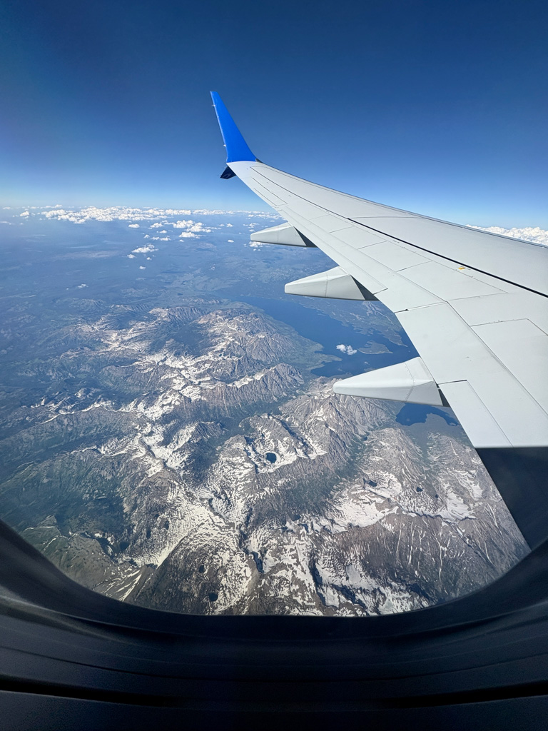
The flight to Denver, where the SRC headquarters are, was surreal. Flying over rolling plains, empty deserts, and mountains so tall it felt like you could lean out of the plane and touch them, really put into perspective the scale of our Nation’s unique geography and my upcoming internship. I’ve always been proud to belong to a country with such an amazing and diverse park system and am honored that I will get to work alongside the people who contribute to ensuring they are protected and functioning for us (and the world!) to experience.
Flight into Denver.
SRC Deputy Chief and Audio Visual Specialist Brett Seymour picks me up from the Denver airport in a big truck he tells me I’ll be driving around for the next week. Awesome! The next day, I get to meet Dr. Dave Conlin, SRC Chief, see the SRC headquarters, and load up on dive gear. Also, awesome! It was so nice to finally get to meet the two people who have dedicated so much time and effort to ensuring this internship happens in a time where federal jobs and the future of these programs are uncertain. I would like to express my utmost gratitude for their dedication and also thank OWUSS for doing everything possible to support my internship. Even with the few people I have met so far, it is apparent that the NPS and SRC staff are unwaveringly committed to serving our Nation through their stewardship of the parks.
Getting all of the gear I need in the SRC Dive Locker and a last minute drysuit try on to make sure I’m ready for Crater Lake. Everything went downhill when my hair tie sprang off. This will also be my first time getting to use a camera with housing and lighting! (Photo Credit Drysuit Monster: Brett Seymour)
My first day at the office was also my 21st birthday, and I was able to carry on my tradition of a birthday hike when Brett kindly took me to some trails around Red Rocks Amphitheater. The next morning was the swim and skills tests that I had been somewhat nervously waiting for (I passed – whew).
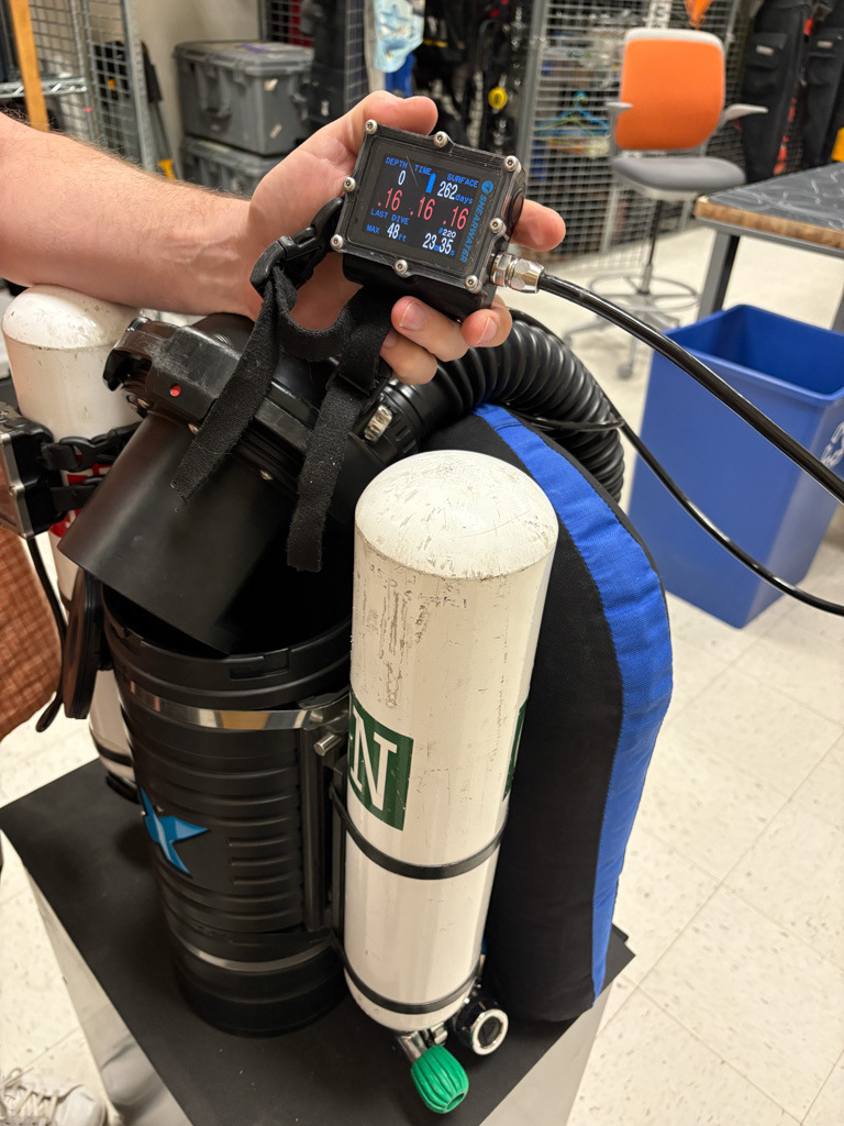
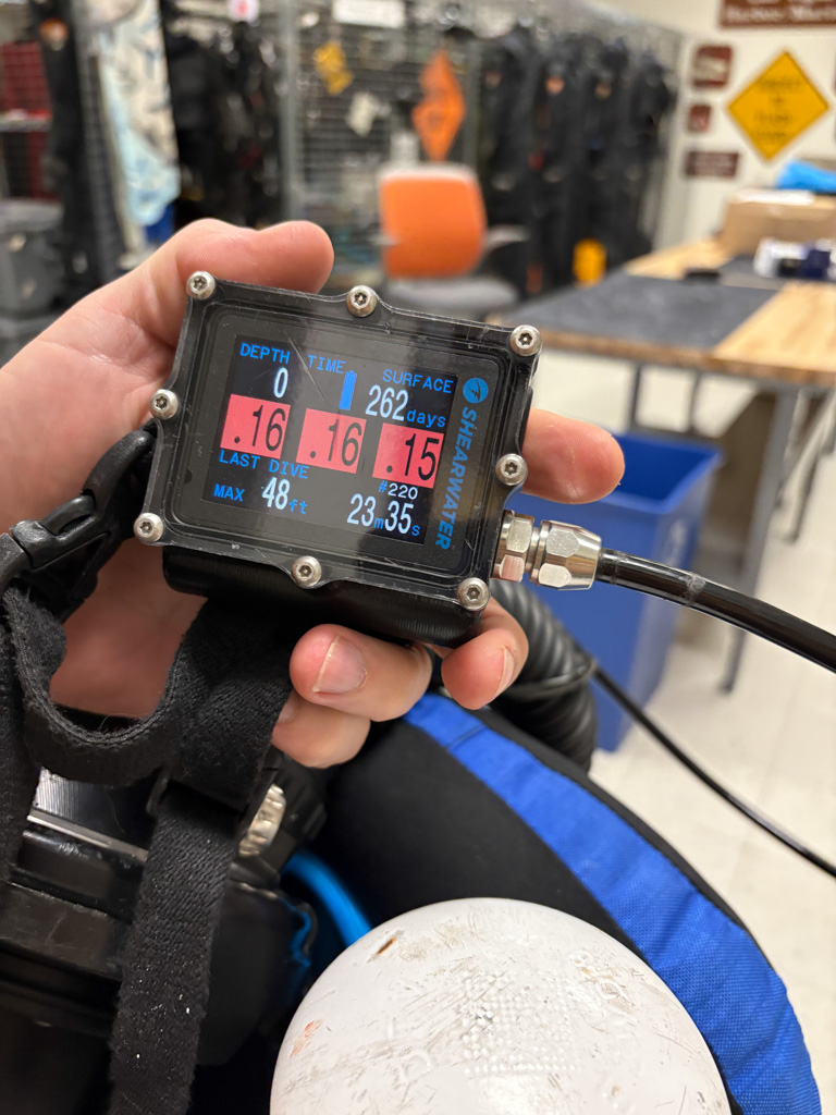
Brett giving me a run down on how a rebreather works. You might notice the oxygen censors read the partial pressure in Denver as 0.16 when it’s normally 0.21 at sea level – now you can guess how fun the swim test was.
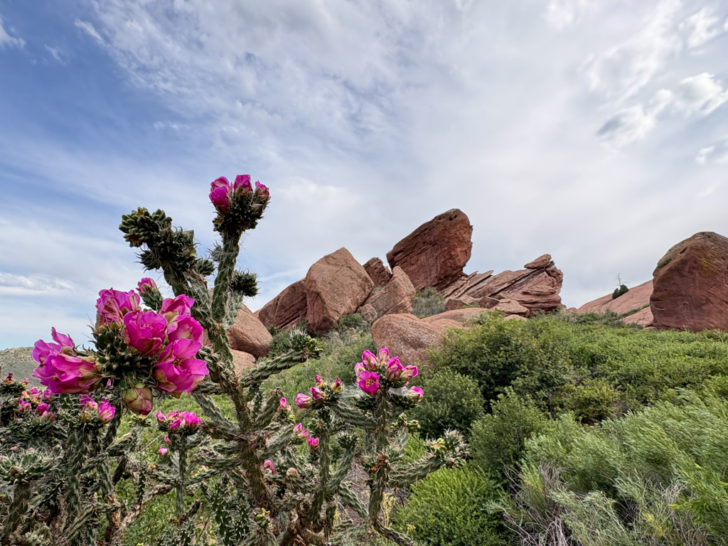
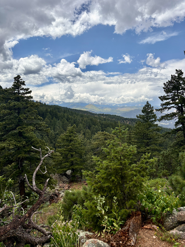
Any free time I get, I’m exploring hiking trails in the area. I guess my clean and nice-smelling era didn’t last too long. I love getting to see how different the vegetation is in Colorado. There are so many unique flowers, and a lot of the ground cover reminds me of coral reefs. Different sedum is shaped like boulder coral, while other odd-looking plants look like staghorn coral. There are magpies everywhere, and I even was able to see a western tanager, which is a bird with beautiful bright orange and red coloring.
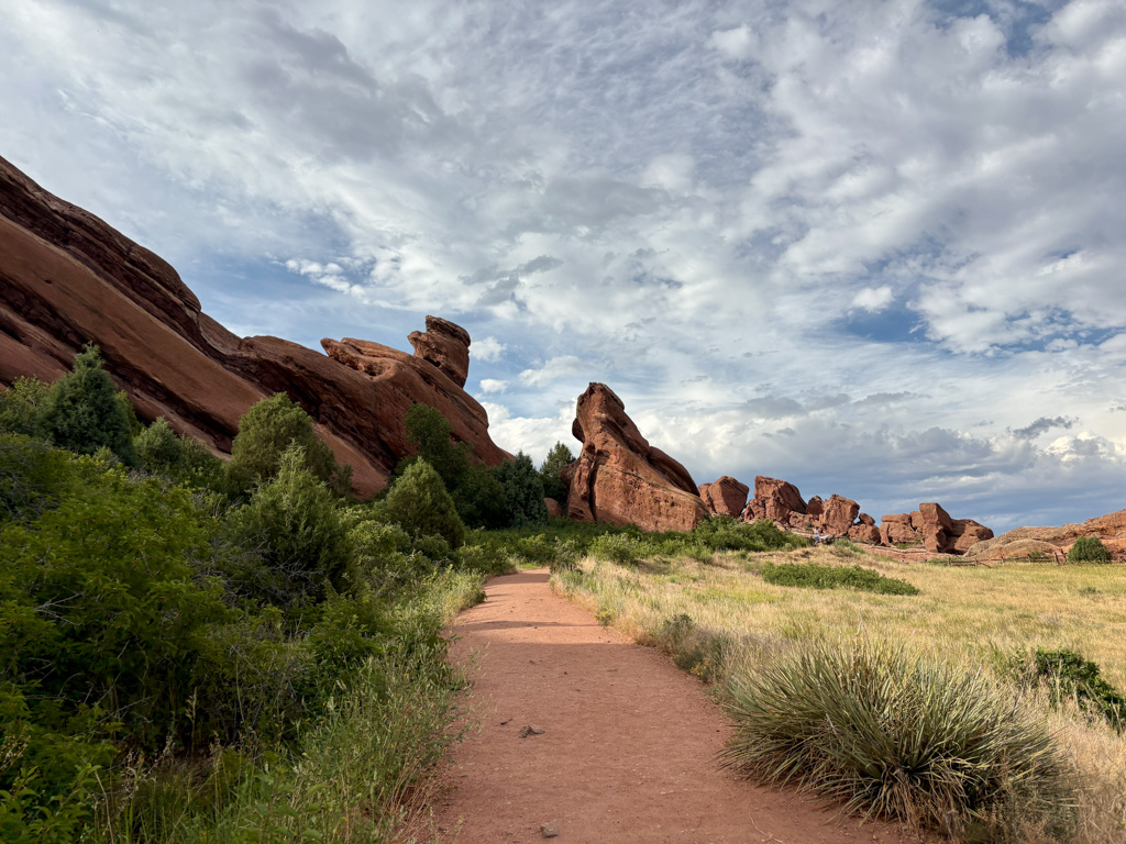
Pretty views at Red Rocks.
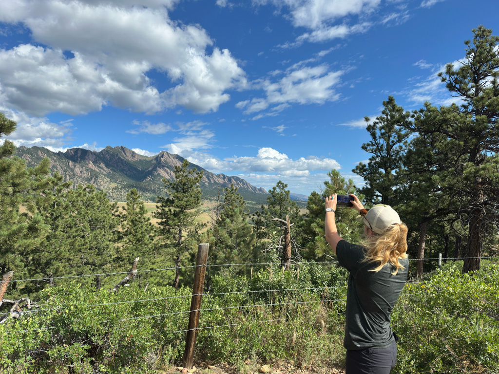
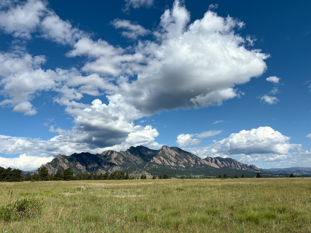
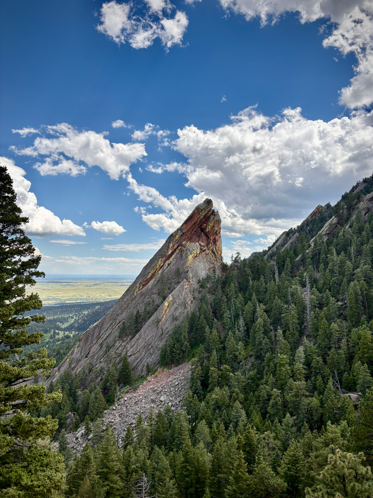
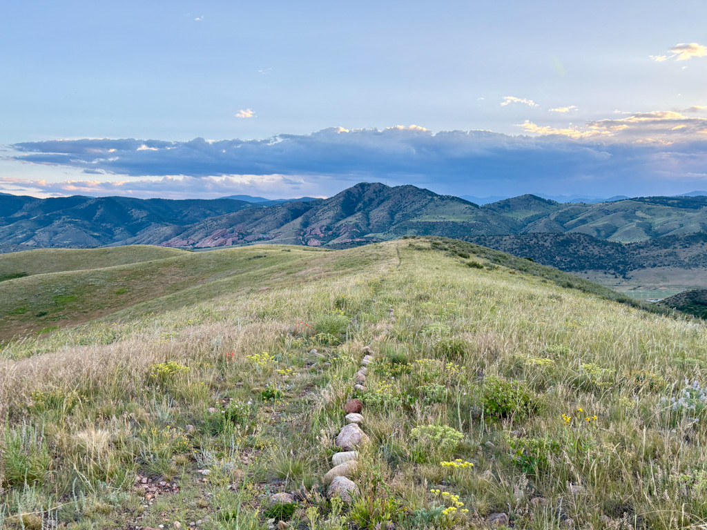
On the morning of the Fourth of July, Dave takes me on a lovely hike in the foothills of the Rockies. After some breakfast, I decide it’s a good idea to see if there are trails to the top of the “Flatirons” we were gazing up at from below. After quite a few steep miles uphill, buckets of sweat, and perhaps some regret, I am rewarded with a beautiful view of Boulder, CO, nestled against the Rockies. I arrive back at the trailhead feeling half-dead but accomplished and proceed to eat a lot of ice cream on my way out of Boulder. My adventures should have ended there, but along the drive back to Denver, another beautiful, rugged, tabletop taunts me from the side of the road. The next thing I know, I’ve pulled over and am huffing and puffing my way up to the top for a nice sunset.
Taking a photo of what will soon destroy me. Photo Credit: Dave Conlin
The following day, I have the pleasure of meeting Sarah Von Hoene, the 2021 NPS Intern. I spend the evening limping after her on yet another amazing hike and then eat some more ice cream (shocking, I know). One of my favorite parts of the internship so far has been getting to meet past interns and the incredible network of people in OWUSS and beyond. It is a pretty cool feeling to know that wherever you travel, there are likely OWUSS or NPS connections! Every person I have interacted with has been so welcoming and genuinely excited to help me out and offer whatever support they can. I’d like to give a special shoutout to Shaun Wolfe, Hailey Shchepanik, Leeav Cohen, and Sarah, all former NPS Interns, for spending time answering all the questions I felt were too silly to ask Brett or Dave and giving me tips for navigating this internship. The legacy of former interns and the OWUSS community is truly incredible, and I look forward to being a part of it as I leave the SRC headquarters tomorrow and begin my internship at Biscayne National Park.
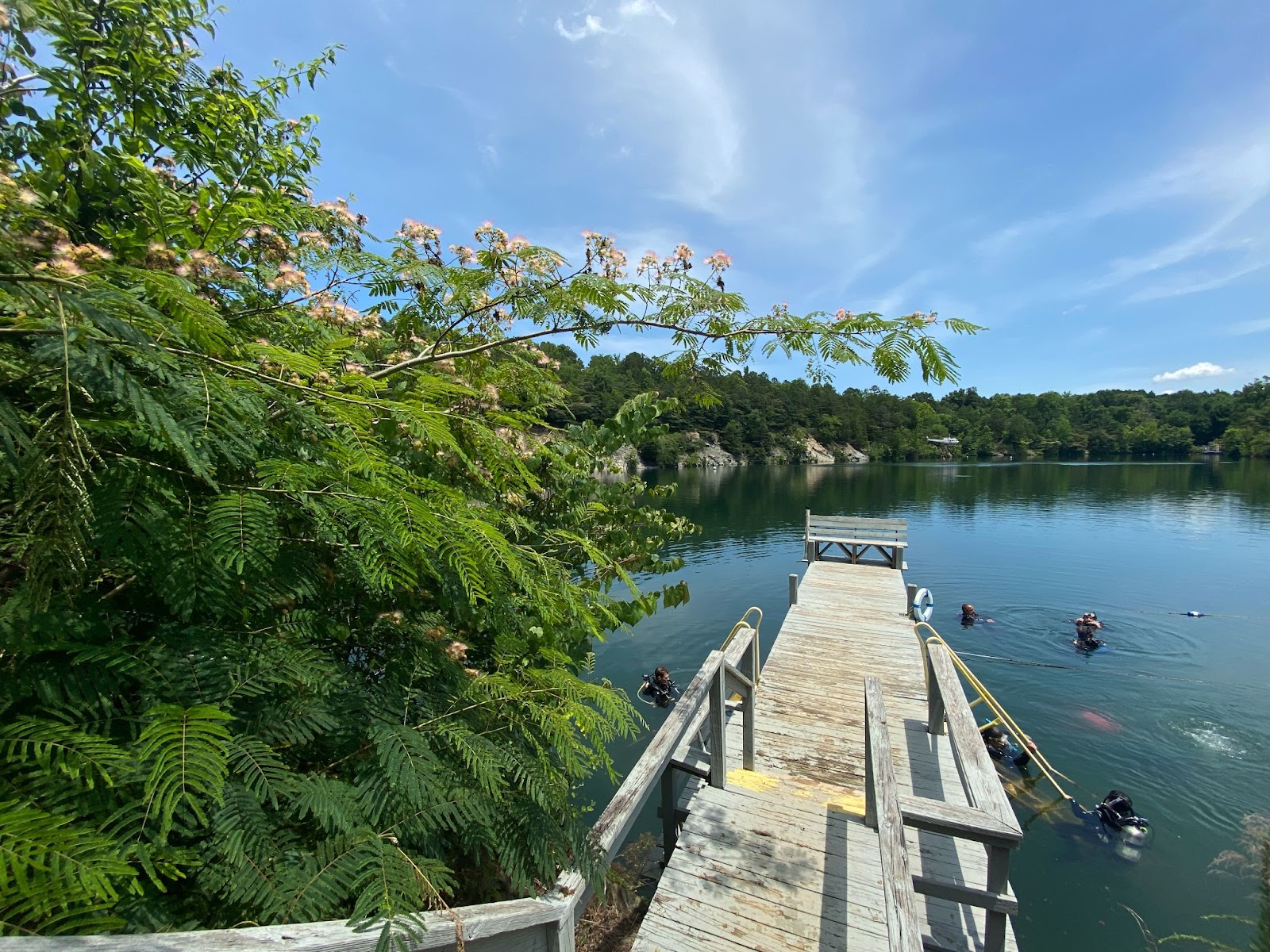
At Mystery Lake before a shakeout dive with another intern Tyler Horton (Left), VP of Research, Frauke Tillmans (Middle), and myself (Right).
My first month as a summer intern with Divers Alert Network (DAN) has flown by in a blur of training, new responsibilities, and creative challenges. From safety certifications to writing for public audiences, every week has offered a different way to grow.
Coming from a scientific and field-based background, switching into a marketing and communications role has been both fun and eye-opening. It’s been a welcome challenge to flex new muscles, learning how to package complex information, connect with a broad audience, and support DAN’s mission in a whole new way.
We began with department introductions and initial assignments, and I quickly found myself involved in a range of ongoing projects. One early surprise was just how expansive DAN’s scope is. Like many divers, I was familiar with the membership and the accident insurance but often conflated the two. It was eye-opening to realize just how comprehensive the organization’s offerings are. Working on a professional liability press release gave me the chance to dive into the fine print of DAN’s insurance products and better understand the differences between coverage types, what’s included, and what’s not.
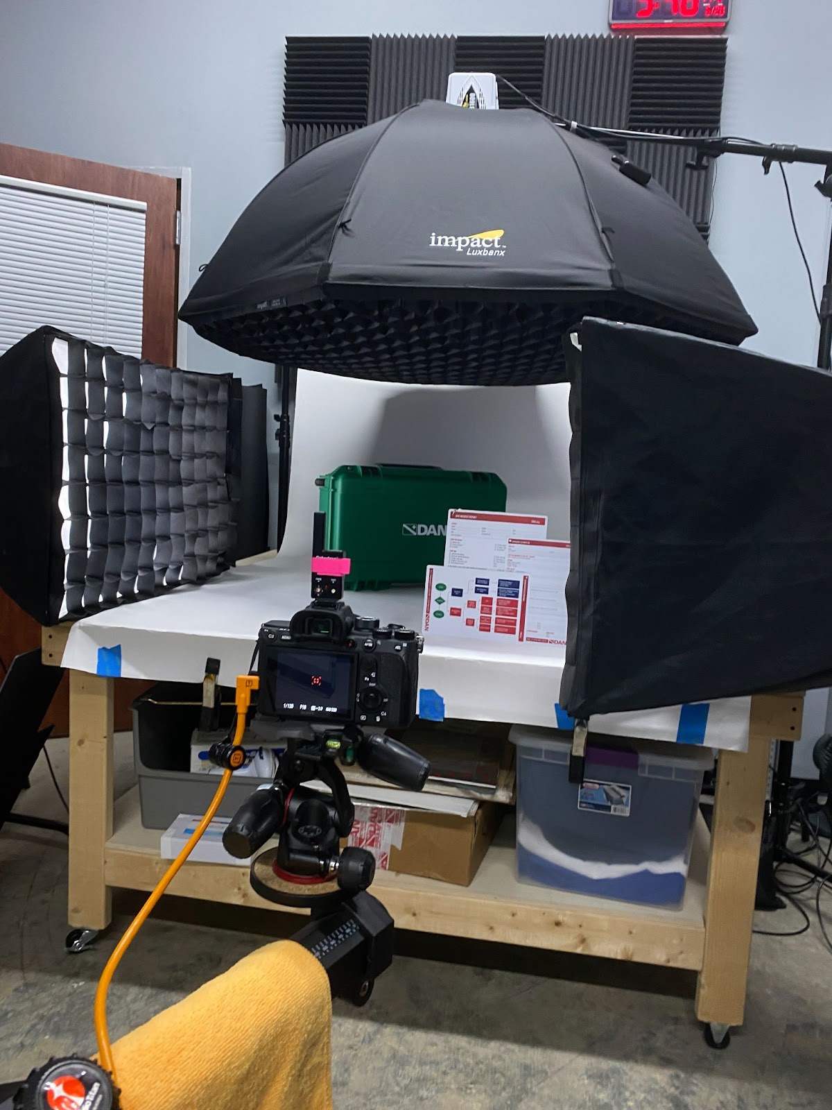
Alongside that, I’ve been helping shape outgoing communication by drafting newsletter language, contributing to blog posts, and developing content for social media. One of my favorite projects so far was drafting a blog post summarizing findings from a recent research paper on lung squeeze in freedivers. It was a rewarding opportunity to draw on my scientific background and translate the key takeaways into something more accessible for a general diving audience. I’ve also been assisting with marketing giveaways and product photography — specifically, capturing images of the oxygen safety slate. Coming from a wildlife photography and photojournalism background, this was a fun shift into studio photography. Learning how to set curves and shape light with strobes has helped me build new skills I’ve never had the chance to explore before.
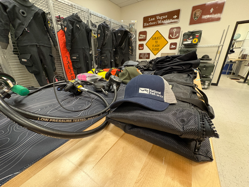
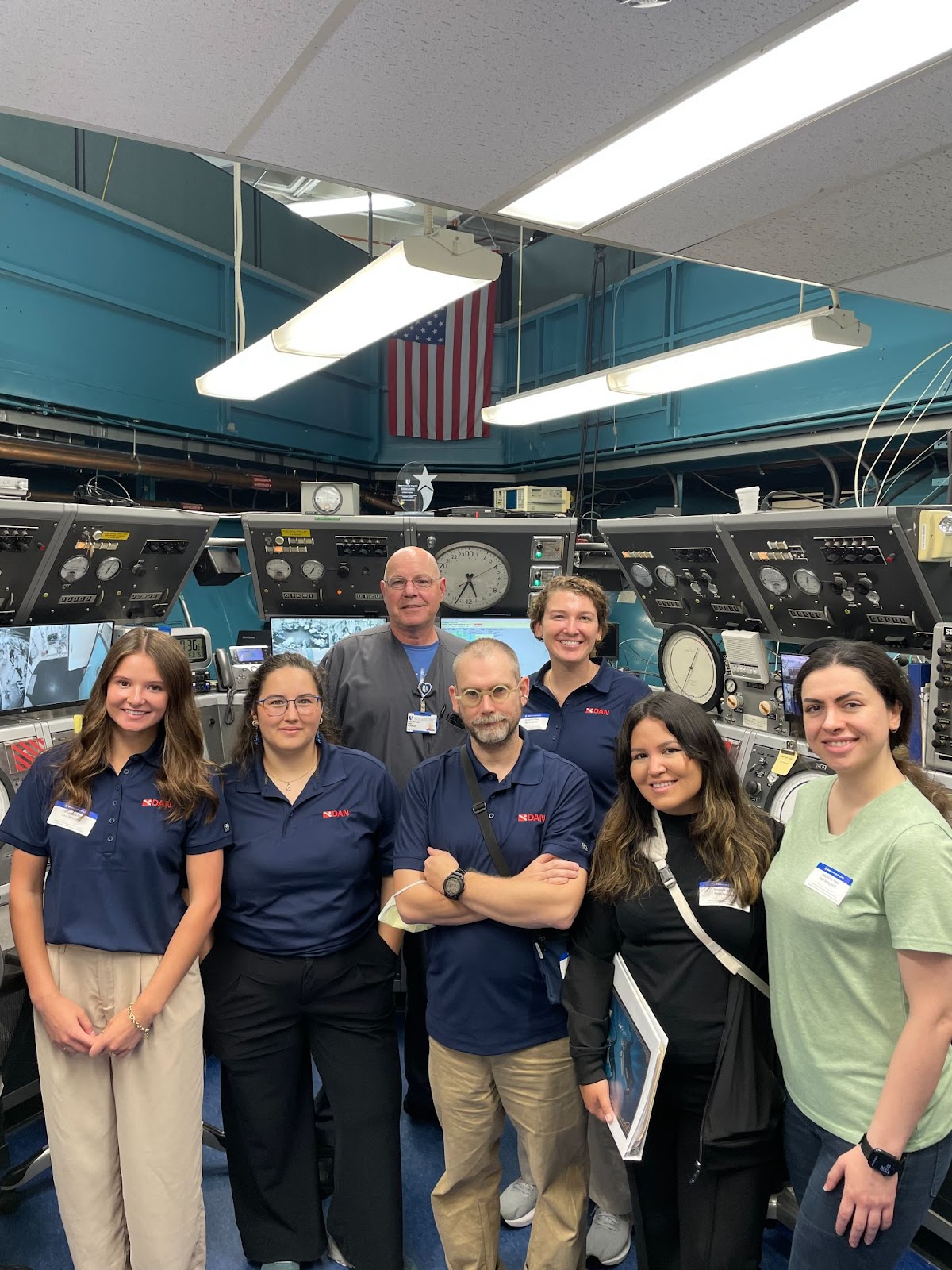
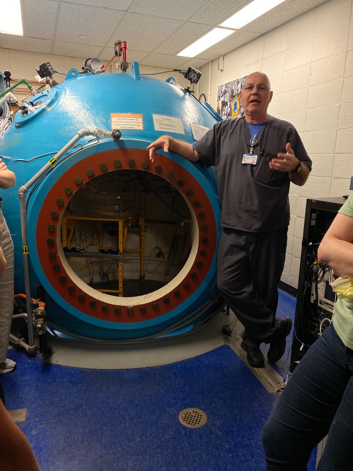
It hasn’t been all work, though. We’ve had the chance to do a few shakeout dives in local quarries and tour some key locations. Visiting Duke’s hyperbaric chamber facility helped me better understand how treatment chambers operate and are used for both dive-related and non-dive-related conditions. A visit to the Thunderbird cylinder factory gave us a look at how aluminum cylinders are actually manufactured.
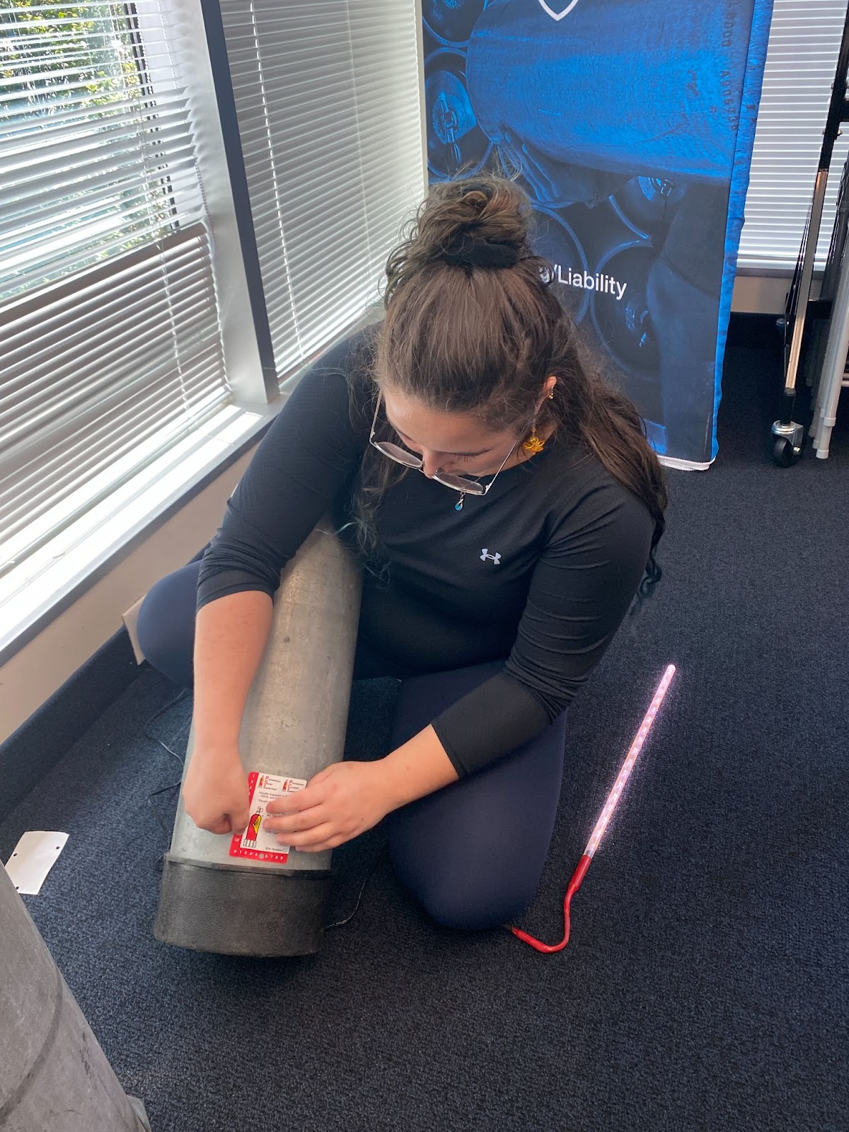
DAN Interns and some staff visiting the hyperbaric chamber at Duke University.Anna Krylova/Myself applying a visual inspection sticker on a tank after the PSI/PCI course.Duke Hyperbaric Technologist Eric Schinazi teaching about hyperbaric chamber Golf during a tour.
Training and professional development have also been a key part of this experience. I recently completed the Visual Cylinder Inspection course through PSI/PCI, which gave me a deep appreciation for the standards behind cylinder safety. I’ve begun the Intro to Technical Diving program and will be starting DAN’s First Aid for Diving Professionals (DFA Pro) certification soon. As the internship reaches its halfway point, I’m grateful for how much I’ve learned already.
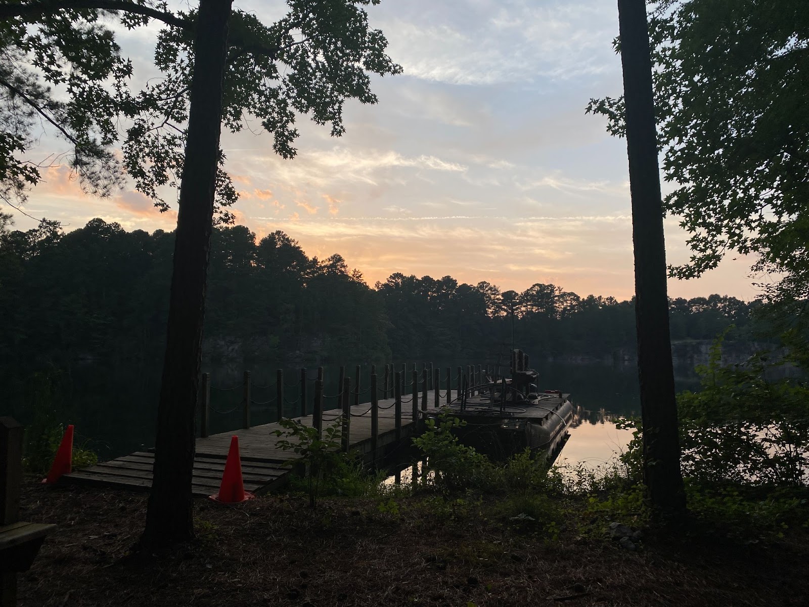
Sunset after shakeout dive at Mystery Quarry.Another beautiful quarry picture at Bluestone during a surface interval.