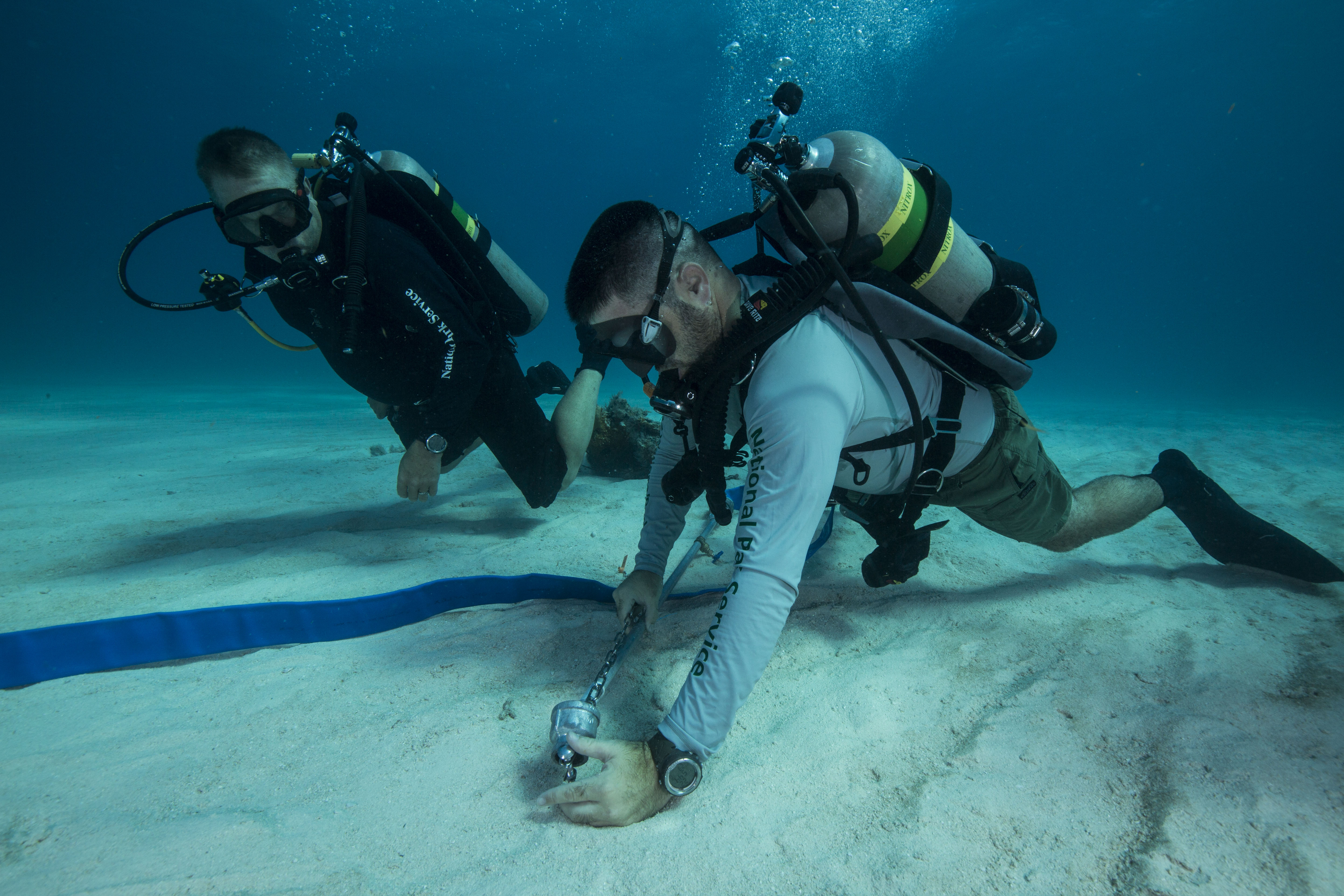
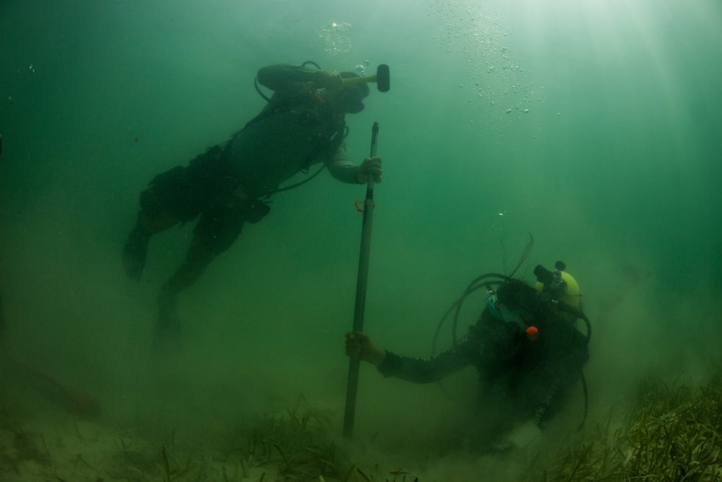
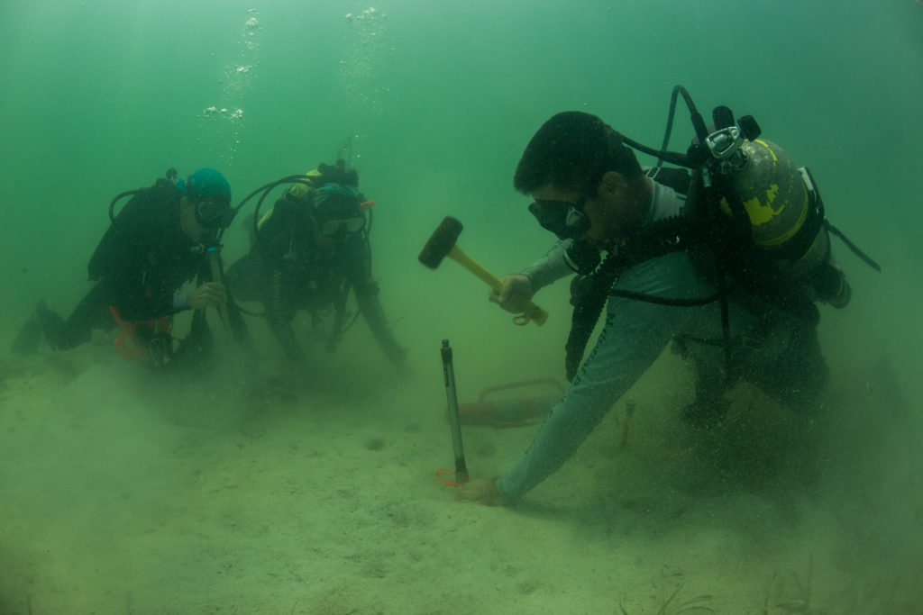
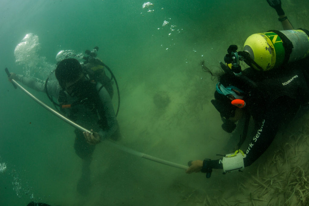
Category Archives: Past Internships

Statistics, Cylinders and Chambers, Oh My!

Last week was one memorable week here at DAN! I nicknamed it “field-trip” week since most of the week was spent going to different places and experiencing new things. The three places we visited were SAS, Luxfer Gas Cylinders and the Center for Hyperbaric Medicine and Environmental Physiology (also known as the Duke hyperbaric chambers).

SAS is a data-analysis company to which customers can submit data for SAS to identify trends they need to monitor. Different types of companies, both local and international, utilize their services, including the city of Durham, Lufthansa Airline and even the transportation departments in North Carolina. The campus where the company is housed is humongous, as big as a college campus! They also have a broad range of services for employees, from gyms to health clinics they can visit.

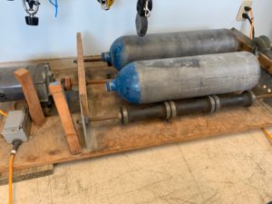
The next field trip was to Luxfer Gas Cylinders in Graham, North Carolina. Here, we did two things: took a class and a toured the cylinder-manufacturing facility. The class was the Professional Scuba Inspectors (PSI) visual cylinder inspection. Our amazing teacher was Mark Gresham, president of PSI. The group went over so much important content, but there were plenty of interesting stories and hands-on examples that helped break up the course and enhance our understanding of what he was teaching us. During the tour, we went from beginning to end to see how the cylinders were manufactured, packaged and shipped. They start off as small aluminum blocks, and with some squishing and painting, they turn into cylinders. I am now certified as a visual cylinder inspector, which, in the words of Mark, “puts another feather in my hat.”

The last field trip we went on was probably my favorite and the most anticipated: the Duke Chambers. I had heard about how massive and impressive the chambers are, and seeing them in person was surreal. There are seven chambers in total, and they are all attached to each other in some way. We were able to go into most of the chambers, but one chamber had patients going through treatment, so we observed from outside. I had always thought chambers were just used for divers, so it was interesting to see non-divers with non-diving-related problems being treated in the chambers. The staff also shared the story about how and why the chamber was built. Its original purpose was for open-heart surgery, but by the time the chamber was finished, the heart-lung machine had been developed, making the chamber’s original purpose obsolete. As of today, there are 14 indications for hyperbaric treatment, so it was not built for nothing after all.

This week was full of new experiences, and I cannot wait to see where the rest of my time here takes me!

Share

Hello! My name is Emily Hellmann, and I am this year’s Our world Underwater Scholarship Society Divers Alert Network (DAN) Diver Safety Education intern. A little background on me:

I am 22 years old and from Manassas, Virginia. I have been diving since I was 11, but I’ve been surrounded by the sport since I was little, as my dad is a scuba instructor trainer. Because of my diving experiences, I have always wanted to do something with the ocean in my future career. When I started college, I naturally picked marine biology as my major at Old Dominion University. But after a couple of math classes, I changed to Earth Science Education. It was bittersweet, because it was not what I originally wanted to do, but I would still be involved with the ocean. It was this past semester that I realized I was moving toward what I was meant to do. Watching kids get excited to learn about marine processes really hit it home. If I can get more young people excited about the ocean, then as they grow up, there will be more older people who care about the ocean.

The switch also led me to this AMAZING internship, which includes the best of both of my worlds: diving and education


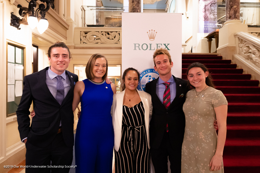
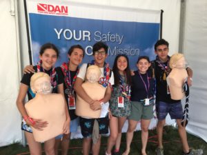
Alex, Chloe, Yann, myself, and Burnley after completing our training!

My first week lined up with the visit of the Our World Underwater Scholarship Society’s North American Rolex Scholar, Yann Herrera. During this week, the DAN Research interns and myself were able to tag along with him to each department in DAN to hear about what they do. We met with the medics, researchers, the teams from membership, liability insurance, communication and marketing, plus IT, and so many more! It was very interesting to be able to meet all the people who make DAN work and to see just how important they are to the diving community.

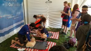
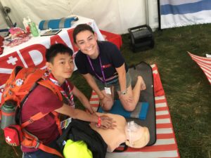
Another great opportunity I had this week was to go through the Diving First Aid for Professional Divers (DFA Pro) course, taught by Patty Seery, DAN’s director of training. It was a very long but rewarding course. We practiced all skills in the course in a very hands-on manner, from neurological assessments and how to care for hazardous marine life injuries to CPR, first aid and, most importantly, emergency oxygen for scuba diving injuries. It was a lot of fun and I learned a lot. It was a great course!

Reilley and Patty demonstrating two-person CPR

My “sea-urchin” injury

Yann with his “jellyfish” injury


Share

Channel Islands National Parks: Exploring the Majestic Kelp Forests

With Denver in my rearview mirror, I flew into LAX ready to visit my first park. Headquarter in Ventura, California, Channel Islands National Park (CHIS) is composed of five spectacular islands and their surrounding marine environment. Created in 1980, the main goal of this National Park was to protect the diverse terrestrial and marine ecosystem of the Channel Islands.

After a shuttle ride along Highway 101, I was met by Joshua Sprague, a marine ecologist for CHIS. He graciously showed me to my accommodations for the evening, the Sea Ranger II. The 58-foot research vessel would be my home for the next six nights. On this fine Sunday evening, the boat remained docked behind the Visitors Center. With the crew not arriving until early Monday morning, I spent the evening exploring the harbor, walking the beach, and learning how to not bang my head into every overhang on the Sea Ranger II.

Beautiful view as I walked along the beach across from the Channel Islands National Park Visitors Center

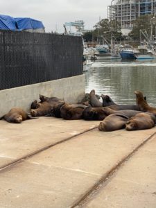
In the morning, the members of the long-term kelp forest monitoring project began trickling in. After organizing our gear and stocking the kitchen with a healthy supply of snacks, we bid farewell to our loud barking neighbors (i.e. the California sea lions) and headed towards our first site of the week along Santa Cruz Island’s coast.

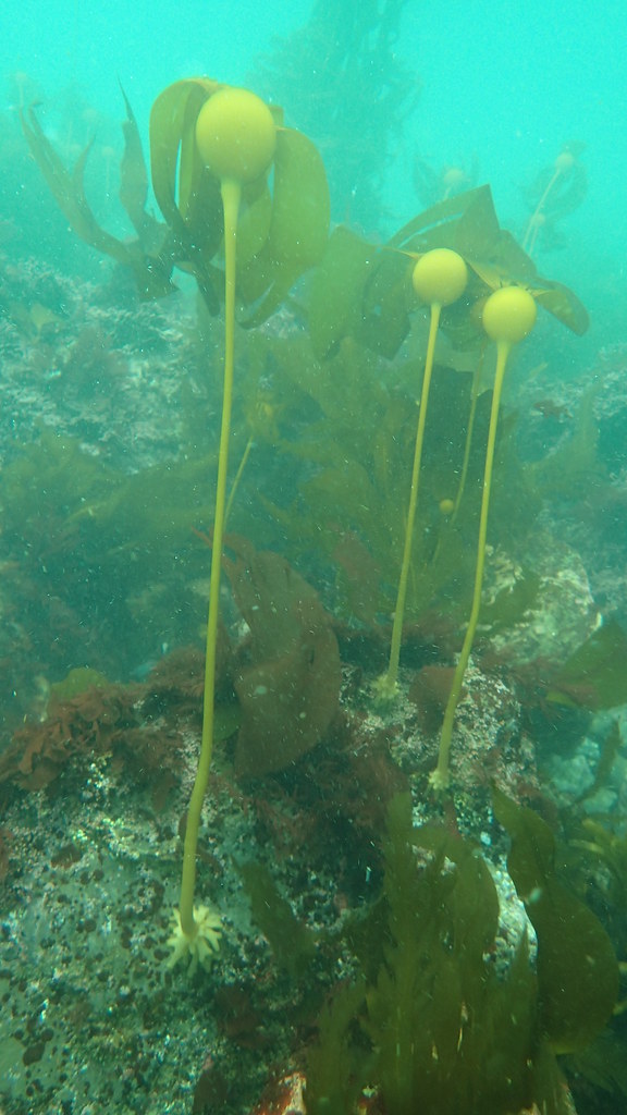
The Kelp Forest Monitoring (KFM) Program at CHIS is an extremely impressive, complex operation. Starting in 1982, the program initially monitored 13 dive sites around the islands but as of 2005 has expanded to 33 sites. The marine ecosystem surrounding CHIS supports over 2000 species. Each year from May to October, these 33 sites are surveyed to collect the size and abundance information of 120+ species of marine fauna (e.g. algae, invertebrates, and fish). The data allows researchers to examine the kelp forest’s health and monitor ongoing changes to the environment. KFM was not created with the intent of answering questions. The data from the program is public record, and the identified baselines are used to help establish marine protection protocol. Currently, 20% of CHIS waters are considered state marine protected areas. In addition to the KFM program, Channel Islands National Park supports a wide variety of other programs that focus on the overall health of the park resources (e.g. intertidal, pinniped, bird, and invasive plant monitoring).

With a rougher Pacific Ocean passage behind us, we arrive at our site for the day, Pedro Reef– Santa Cruz Island. Not located within an MPA, the dive site is barren and uninhabitable. The lack of kelp at this site can be attributed to overfishing. When predators of sea urchins are overfished, their population size increases. As herbivores, urchins consume the kelp that provides food and habitat to other marine organisms.

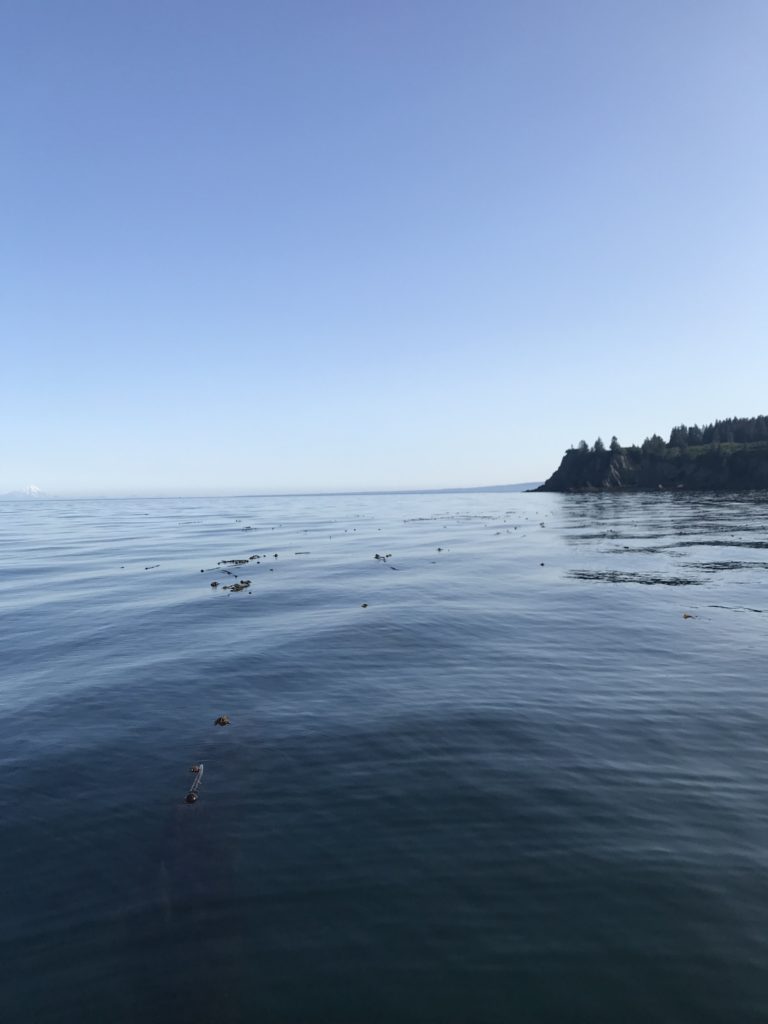
Topside view of Pedro Reef- Santa Cruz Island

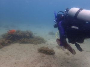
Having just completed my blue card certification in Colorado, I still had to finish the open water portion. For this, David Kushner, the Regional Dive Officer and head of the KFM program, ran me through several underwater skills. While the low visibility had me a little disoriented at first, I am proud of how I handled my first open water dive in a drysuit and my first dive in the Pacific Ocean. Getting out of the water was another feat entirely. With the waves rolling and about 20 lbs. resting on my hips, let’s just say I rolled onto the boat platform rather than gracefully glided. Definitely not a picture worthy exit. As part of my exam, I was also supposed to perform a surface swim. However, due to a recent great white shark sighting, it was decided that me swimming across the surface in a brown drysuit might appear too seal-like.

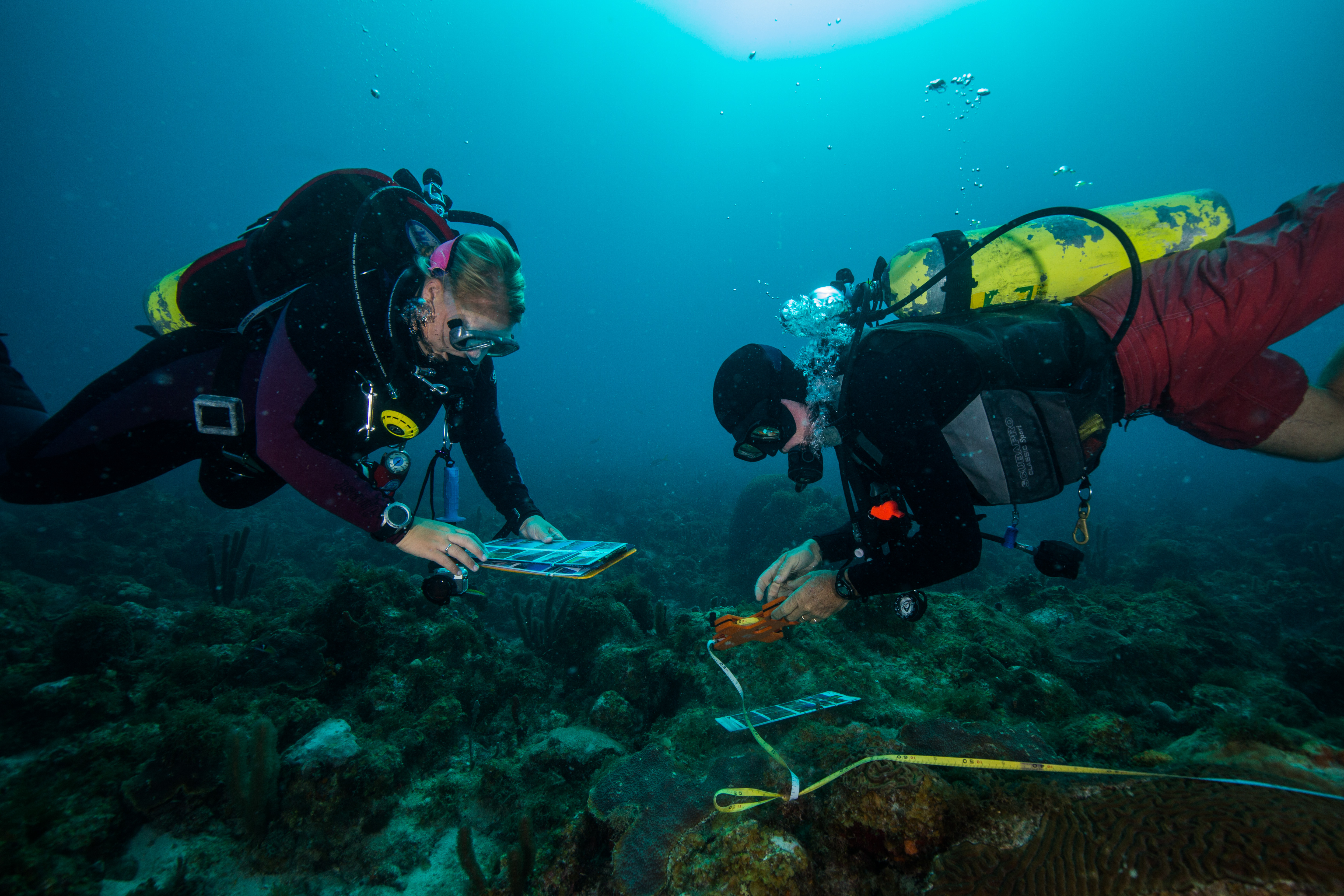
After finishing my dive and realizing that my drysuit didn’t actually manage to keep me dry, I spent the remainder of the day assisting topside as the KFM crew finished collecting data. From band transects to roving diver fish counts, a multitude of different surveys are performed at each site to observe the fish, invertebrate, and algal communities. Water temperature is recorded, and a video transect of each site is captured for historical reasons. The imagery allows the KFM members to visually look back on the 33 sites visited each year during their survey season. One of the most impressive survey protocols used by the KFM program is Random Point Contacts (RPC). In a full-face mask attached to surface supplied air, a diver travels along the transect and at random points calls out the organism covering the substratum. The full-face mask allows the diver to communicate with the surface support person and the need for a slate is eliminated. Such a technique, allows a massive subset of data to be collected in a shorter amount of time.

Kenan Chan (surface support person) records benthos information communicated to him by Cullen Molitor (diver)

In the evening, Captain Keith Duran anchored the Sea Ranger II at Smuggler’s Cove. We ate a lovely dinner, and then I watched as the crew checked and consolidated the data collected at Pedro Reef. Each evening of the cruise, the team spent 1-2 hours discussing the site in detail. They recorded any anomalies and worked together to create a species list for the site (ranking species based on their prevalence).

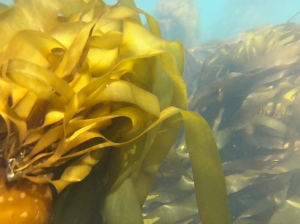
On Tuesday morning, with the anchor pulled at 7:30 am, Captain Keith drove us to our second dive site of the week, Landing Cove – Anacapa Island. Tuesday’s dive site was located in a marine reserve established in 1978, the oldest in California. Diving this site provided a unique contrast to the urchin-dominated Pedro Reef where we spent the previous day. Landing Cove also gave me my first opportunity to observe the diverse kelp forest habitat in its full glory. With a leaking drysuit, I was fortunate enough to borrow Cullen’s extra 7mm. The suit definitely kept me warm and the camouflage pattern was a great fashion statement. On my first dive, I accompanied Merrill McCauley, a park ranger, as he completed a macro survey. Macro surveys involve counting stipes on 100 giant kelp (Macrocystis pyrifera) along the transect line. During the second dive, I followed Luis Hernandez and Merrill through the towering kelp as they performed 5-m transects. Since I had no experience identifying the fauna at CHIS, by the second day, I was still too green to contribute to official data collection.


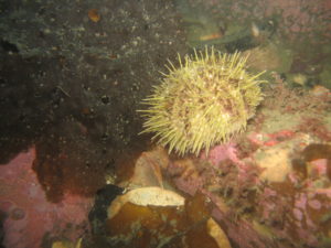
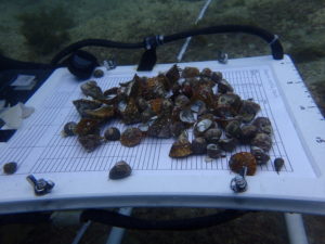
Topside, I assisted Kenan, Luis, and Cullen as they measured 100+ sea urchins brought to the surface. Safely returned to their homes on the subsequent dive, these sea urchin measurements allowed the team to understand the population dynamics of the three common sea urchin species found in CHIS: purple sea urchins (Strongylocentrotus purpuratus), red sea urchins (Strongylocentrotus franciscanus), and white sea urchins (Lytechinus anamesus).

One urchin, two urchin….white urchin, purple urchin

Following a productive day of diving, the seasonal interns and I explored Anacapa Island. This small desolate island becomes a dense, western gull breeding ground from May to July. Anacapa supports the largest protected breeding colony of western gulls in the world with over 10,000 individuals. While we enjoyed the amazing views and the baby seagulls, Erin Jaco, unfortunately, learned the hard way that these birds sometimes use their poop as a foul weapon.

From the roof to the island’s sign, no place is untouched by the western gull population on Anacapa Island

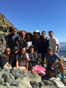
OWUSS Intern + Seasonal KFM Interns (Cullen, Erin, Luis, and Kenan)

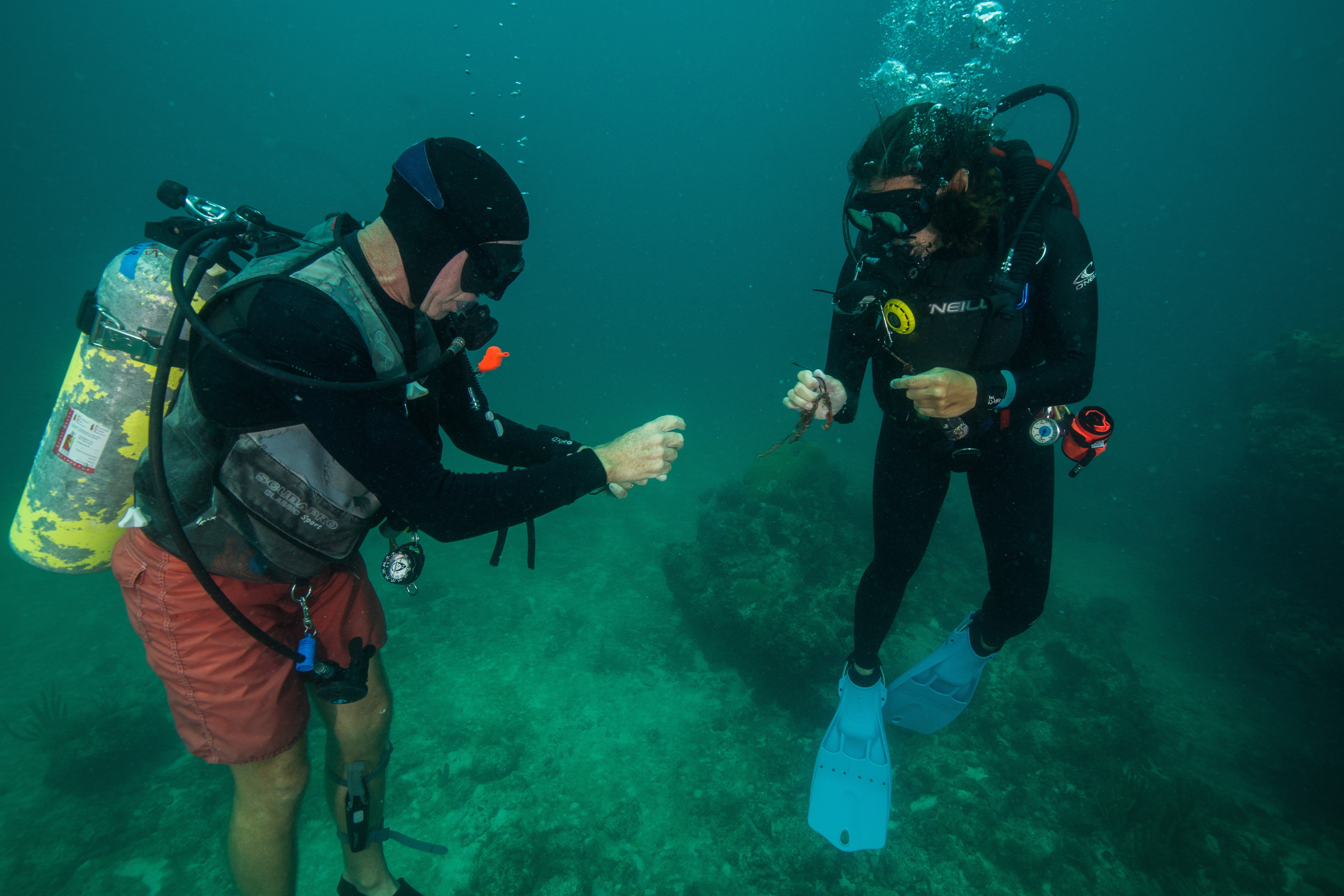
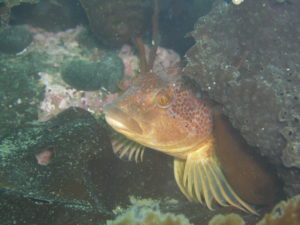
On Wednesday morning we anchored at Cavern Point – Santa Cruz Island. Located in an MPA established in 2003, this site gave me the opportunity to contribute to the data set for the first time. Luckily, the previous evening, Cullen was kind enough to help me patch my drysuit. And thankfully, his repair was successful. On my first dive, Merrill and I performed macro counts and measured gorgonians. For the second dive, Captain Keith and I were given the opportunity to explore. I became enticed by the spectacular invertebrate community at the site. From the sea cucumbers to tunicates, these are creatures that you don’t notice when you are focused on counting Macrocystis stipes or searching for the next gorgonian to measure. Keith and I also saw several massive California sheephead (Semicossyphus pulcher). Overfished in some regions of the park, the KFM program has found that targeted marine fish, such as sheephead, have larger average lengths within MPAs. And bigger fish means there are more eggs.

Topside view of Cavern Point – Santa Cruz Island

Graced with a few more hours of daylight, the group explored Santa Cruz Island. The largest of the Channel Islands is split between the National Park (24%) and The Nature Conservancy (76%). Docking at Scorpion Anchorage, we hiked 3.5 miles (roundtrip) to a vantage point of our day’s dive site. Compared to Anacapa, this island was covered in green vegetation and rolling hills. While on the island, island foxes, a unique subspecies, ran along the campsite trails. Living on six of the eight islands, these foxes are 1/3 smaller than their mainland ancestor.

Rolling hills of Santa Cruz Island

Located in a marine conservation area established in 2003, Thursday’s dive site: Keyhole – Anacapa Island, is closed to all fishing except recreational/commercial lobster and pelagic fish. Unique to this data collection day, Merrill and I spend one of our three dives measuring the bat stars (Patiria miniata) that riddled the site along the transect line.

Look, it’s me! PC: Merrill McCauley

Since Friday marked the end of the KFM trip, the team did not have sufficient time to visit another survey site. Instead, we used the morning to complete a 90-foot dive at Yellowbanks – Santa Cruz. Open to all fishing, this kelp-less landscape is dominated by brittle stars and enormous sea urchins. Previously a home to abalone, the only evidence of this species was a large shell trapped in a discarded lobster trap entangled on the ocean floor. Upon completing the dive, we were accompanied by common dolphins as we traveled back to Ventura.

Calm waters led the way to CHIS Headquarters

By the end of the KFM trip, I had learned a lot. My buoyancy with a drysuit had drastically improved, and my entry/exit from the water was nowhere near as clumsy as my first day. When I arrived, I have to admit I was intimidated by the amazing, dedicated divers of the KFM program. To collect data vital to the park’s records, they performed long dives several times a day often in limited visibility and current. I learned a lot from them and enjoyed getting the opportunity to dive all week in this lovely park. I even had a fantastic drysuit hand tan to show for my first national park of the summer!

Like my first night in Ventura, my final night was spent on the docked Sea Ranger II surrounded by a chorus of barking sea lions. After almost missing my shuttle back to LAX, I arrived hours before my flight and got the chance to catch up with a close, college friend, Chloe Von Helmolt. In the evening, I headed back to the airport in search of warmer waters. Biscayne National Park about an hour south of Miami, Florida would be my next destination. While I enjoyed kelp forest diving, tropical waters were calling my name as I boarded my red-eye in search of the sunshine state.

Thanks again to the amazing Kelp Forest Monitoring team!

Quick facts about KFM Program:

  • Longest established marine inventory and monitoring program within the National Park Service
  • Over 400+ divers have assisted with the Kelp Forest Monitoring Program
  • Have been able to map the spread of several invasive species (e.g. Sargassum horneri)


Share

My first week: Bigelow providing big opportunities.

My name is Shane, and as the Our World Underwater Scholarship Society Dr. Lee H. Somers American Academy of Underwater Sciences 2018 intern, I have two primary goals for this summer – complete the AAUS scientific diving class, while simultaneously getting hands-on field research at Bigelow Laboratory for Ocean Sciences.

My first full week in Maine has been getting settled in and getting into a rhythm. Maine is a lot like home — Minnesota — and so the transition of settling in has been an easy one. What we do not have in Minnesota is a front row seat to the amazing and powerful Atlantic Ocean or the focus of my research: kelp!

At Bigelow, I am being mentored by Dr. Doug Rasher, a senior scientist working on collecting kelp growth data on the coast of Maine. Along with Dr. Rasher, I will be working closely with his post-doc, Thew Suskiewicz. During my first few days, Doug and Thew put me on the task of making rectangle half-meter quadrats out of PVC. This seemingly small task was nothing of the sort, as they entrusted me to accurately and thoroughly prepare five quadrats to perfect specifications. If built too large or small even by an inch, could skew the valuable data we will be collecting.

An example of the five half-meter quadrats made from PVC. Black tape lines two sides every 5cm for video analysis.

After completing the quadrats and acquiring the appropriate materials, Thew and I were simulating my job during a dive. For these first dives, I will be cutting and collecting kelp and other seaweed for biomass samples back on the surface at the lab. After gear organization and checks, sampling material and methods completed, my last task during my first week at Bigelow, was digitizing kelp cover data from the 1990s. In Excel, I would copy the site location, depth, date, and percent cover of kelp from paper records.  It’s the less glamorous side to science and scientific research but will be helpful and necessary later in the process.

Not only am I working at Bigelow, but on Wednesdays, I head up to the Darling Marine Center part of the University of Maine to take my AAUS class with Chris Rigaud, a world-class diver, and instructor. The first AAUS class was mainly orientation and fitness testing such as the 400 and 800 yard swims. We briefly entered into the surprisingly warm (55oF) salty water of the Damariscotta River. In this brief “check-out” dive we reviewed skills such as cramp removal, taking off and putting on our BCD’s, and inflating our emergency signaling devices. These seemingly simple tasks even for a relatively novice diver are important.  Chris said this about the exercise, “What separates professionals (scientific divers) from others, is they practice the small things, they practice all the little details too. That way if the time comes when they need to use that skill, they’ve done it.” He went on to say, “I’ve been lost in the ocean and it isn’t fun” in reference to when he asked us to inflate our signaling devices.


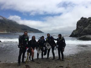
Suited up for the first dive practicing key skills like buoyancy and navigation. From left to right: Colby (assistant instructor), Chris (instructor), Shane (me), Nick (student), and Rachel (student).

This really stuck with me, and I’ve been thinking about it ever since. That was great advice especially at the beginning of the summer. It is the small things that can make the difference between completing an experiment correctly or having a successful safe dive. The small things can help you in a dive emergency if it arose. Attention to detail now can pay dividends later. I don’t just want to go through the motions this summer. I want to learn as much as possible and apply everything I can, even the small seemingly insignificant details. Any skill, even if I’ve learned it before, I can still get something new from the experience. This summer I am looking forward to having a lot of “firsts” but also expanding on what I already know.

Next week is diving and lots of it! Thank you to Our World Underwater Scholarship Society, American Academy of Underwater Sciences, and Bigelow Laboratory for Ocean Sciences for giving me this great opportunity.


Share

Life on (semi) Permanent Vacation

The Keys are not what you call a bustling metropolis. Most metropolitan dwellers come to the Keys to escape their everyday, busy city lives. For most people its just that, a vacation. But for me, and the other three interns for REEF’s 2018 summer semester, its our current home. I am not in Nova Scotia anymore, that’s for sure.

I am fairly familiar with the area as I have been coming down to dive it the past six years. But since I’ve started at REEF, I have gotten the opportunity to know the community better. My supervisor, Ellie, set up meetings for me and the other interns with other organizations in the area over the course of our first couple weeks. This included the History of Diving Museum, The Coral Restoration Foundation and The Florida Keys Wild Bird Rehabilitation Center. Each of these organizations is filled with passionate people who are dedicated to spreading the good work of environmental conservation across the Keys. Its an exciting place for me to be as I explore the potential pathways for my career.

For those who don’t know, REEF has four main categories of focus: The Grouper Moon Project, The Invasive Lionfish Program, the Volunteer Fish Survey Project (VFSP) and the Explorers Education Program. I will talk more in depth of each of these categories in future posts. As an intern here, I have the opportunity to add to or take on a project that is in line with REEF’s focus. I am particularly interested in the VFSP because since its beginnings in 1993, it is now the world’s largest database on marine fishes! I plan to contribute to its database while I’m here by diving as much as possible. Being able to identify the fish in the area is giving me a greater sense of appreciation for everything I see, big and small.

The VSFP is a great way to encourage already ocean concerned people, like scuba divers, to participate in the bigger picture of conservation. It is also a great resource for scientists and researches. But what about those who don’t have a background with the ocean? How can the REEF database be used to engage the rest of the public on issues of conservation? Stay tuned as I try to answer this question over the course of my internship.

Share

80° to 40°: Leaving Hawaii and the start of my summer in Alaska

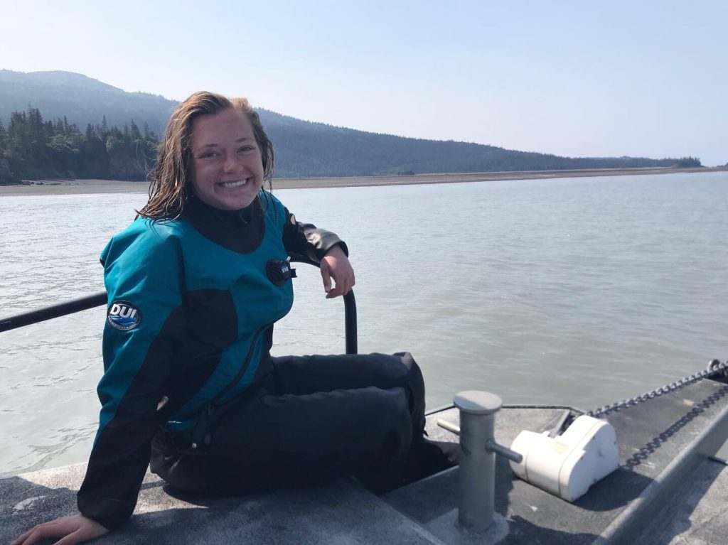
Hey everyone! For those of you who don’t already know, my name is Lena and I have the honor of being the first OWUSS/AAUS Mitchell Scientific Diving Research Intern. I’ve included my full biography below for those of you who want to know a bit about my background, otherwise I will get right in to telling you about the start of my internship and some adventures I’ve been up to already. 

I am 21 and just finished my sophomore year studying Marine Biology at the University of Hawaii at Manoa. Originally from Santa Cruz, California, I have grown up connected to the ocean and chose to study biology in order to combine my love of conservation and diving. In high school, I volunteered with The Marine Mammal Center, helping rescue stranded marine mammals along the California coast. 

I became PADI Open Water certified in 2014 during my senior year of High School. After High School, I embarked on a gap year, traveling to Thailand, Cambodia, Vietnam, Fiji, and Madagascar. In Thailand, I volunteered at Elephant Nature Park, and had the unique experience of assisting with the rescue of an injured and abused elephant. In Cambodia, I taught English to second grade Cambodian children. In both Fiji and Madagascar, I had my first experiences with scientific diving, doing fish and invertebrate surveys as a volunteer with a non-profit group. Living simply on small islands and diving almost daily I found my passion, bringing together diving and scientific study. While in Fiji I gained my PADI Advanced Open Water, Rescue Diver, and Dive Master certifications. Subsequently, I worked as a dive master in Fiji, deepening my love for the underwater world. Determined to keep excelling as a diver, I earned my AAUS Scientific Diver certification in the Spring of 2017. I am excited for this summer and the opportunity to acquire new scientific diving skills. 

This summer, I am working closely alongside doctoral student Jared Weems as he conducts his research on Blue King Crabs (BKC) around Saint Paul Island (SNP), located in the Pribilof Islands in the Bering Sea. With the goal of understanding the difficulties behind stock recovery of BKC after severe overfishing prior to 1999 when direct harvest was closed, Jared has dedicated his time and research to studying three possible causes: larval supply, predation on juveniles, and habitat availability. Detailed info about Jared’s research can be found on his website, Pribs Blues Muse, https://www.sfos.uaf.edu/research/pribsbluesmuse/, but I will tell you a bit about the methodology of each project as it comes up throughout the summer. 

My summer is broken up into two asymmetrical chunks of time or trips to Saint Paul, the first of which I have just finished. I left home in California on May 18th, just a week after finishing school, and flew up to Juneau. After a couple days of shopping for food and supplies, where I got my first ever pair of XtraTufs, a staple in Alaskan work and style, Jared and I began our journey to Saint Paul. We left Juneau in the morning and after a short stopover in Anchorage and then Dillingham where we waited for the weather to clear, we made it to Saint Paul on a flight full of birders, undoubtedly heading to the island to explore its world renowned sea bird colonies.

We arrived in Saint Paul to surprisingly nice weather and settled in at the NOAA Staff Quarters. (For anyone interested in the history, Saint Paul has a unique story involving Russian slavery and the Fur Seal trade prior to Aleut Independence). Saint Paul, also one of the 2,500 islands that make up the Alaska Maritime National Wildlife Refuge, is home to arctic fox, a reindeer herd, fur seals, stellar sea lions, harbor seals, whales, colonies of millions of sea birds (and the extremely rare walrus! pictured later). 

Jared, looking out over the harbor and town of Saint Paul on a stormy day hike

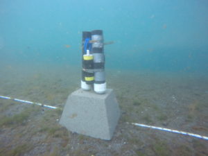
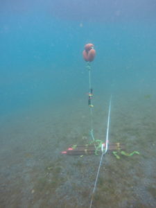
Taking advantage of the good weather, the first few days of work were long and packed with preparation as we waited for our dive gear to arrive on another plane. We prepped and painted 44 concrete blocks, which will later act as anchor lines for our survey sites around the island. We also made 125 glaucothoe settlement bags, which are placed around each of the anchors to collect juvenile crabs over the course of the summer in order to assess population abundances. 

After days of preparation and the start of a streak of bad weather, we waited out the wind and the seas inside and exploring around the island. I began learning my cold water species of algae, fish, crab and other invertebrates while Jared worked on calibrating the cameras for the deep water camera drop surveys and making bread in his beloved bread maker. When our first weather window to go out on the water appeared in the forecast we loaded up our concrete blocks on The Lunax, the islands amazing rescue boat, and headed out to set as many of our sites as possible. It ultimately took two days and lots of energy from peanut m&m’s but we finished putting in all but two blocks.

Another project that we worked on, as I mentioned a bit earlier, was the camera calibration. Sheila, so named by Jared’s tech from last summer, is a modified crab pot that holds a stereo GoPro system used to assess the benthic habitat at deep water sites. With bad weather and one unsuccessful attempt diving in the harbor to calibrate Sheila’s camera, we decided to get creative and think of another method to calibrate the cameras in water. Later that day, I found myself suiting up to climb into a fish tub filled with ice cold water at the Trident Foods warehouse. 

One of the final projects we worked on was deploying SPATTSs (Solid Phase Absorption Toxin Tracking) as part of a harmful algal bloom (HAB) study in the area. In addition to setting the SPATTs in the small boat harbor, we deployed them at four of our dive sites in order to be able to dive, retrieve, and replace them later. 

Finally, after two and a half weeks we finished our early season preparations and will be ready to start diving when we return from our two week break on June 24th. Yesterday, June 7th, we made it back to Juneau where I met up with Jared’s advisor, Dr. Ginny Eckert, to join her on a short trip to assist with some of her other students’ research on Prince of Wales. I am currently writing from her boat, The Lituya, which we will be on for two nights as we bring supplies down to the island. The mountains and snow along the passage are like nothing I’ve ever seen before, so I’m loving these few days to relax, take in the views, and hopefully see some whales! Its been a completely unique experience for me already these last two weeks so I can’t wait to see what’s next.  

On our last day, just before we flew out of Saint Paul, a walrus was spotted off East Landing on the island! Having not seen a walrus come to Saint Paul in nearly 15 years, this was an extra special day to see my first walrus. I had already checked my bag, which had my camera, at the airport but luckily a friendly bird guide let me borrow his binoculars and I was able to take a few pictures with my phone through the binoculars!


Share

The Beginning: Drysuits, Sharks, and the Submerged Resources Center

Hello, my name is Shannon Brown, and I am the 2018 OWUSS National Park Service Intern. I am excited to take you along with me as I travel for the next three months to various National Parks and assist with their ongoing archaeological, biological, and cultural programs.

A little bit about myself…I was born and raised in a small suburb outside of Chicago, Illinois. I’m 22 years old, and I graduated with a B.S. in Marine Biology from the University of Oregon in spring 2017. After my summer with the National Park Service, I will be attending King Abdullah University of Science in Technology (KAUST) in Thuwal, Saudi Arabia to obtain a Master’s Degree in Marine Science. Within the marine field, I have a passion for marine invertebrates and marine conservation. I studied feather duster worms during my undergrad, and while interning in Bonaire, Dutch Caribbean last year, I participated in a long-term project on the island’s benthos and a project focusing on the lifecycle of a trematode parasite found in reef fish. This summer, I look forward to combining my love for the National Park Service (NPS), and my love for marine science as I learn more about the NPS diving and research programs.

My journey began with an early morning wake-up on Sunday (5/13) and a short flight from Chicago to Denver. After getting my bearings and some caffeine, Bert Ho pulled up in a white suburban and graciously drove me to the National Park Service building in Lakewood, Colorado. Bert Ho is a survey archaeologist for the Submerged Resources Center (SRC).  After being dropped off at the NPS offices, I spent the remainder of my Sunday settling into my Airbnb and learning how to park the massive white suburban.

The next morning, I visited the SRC office and met the members of the team. Due to their intense schedules, this small group of archaeologists and two photographers are rarely all together. Getting the opportunity to sit in on a staff meeting was incredible. They took turns discussing ongoing projects that ranged from setting marker buoys at Isle Royale National Park to working with at-risk youth at Dry Tortugas National Park. In addition to meeting the team, I spent time discussing logistics with Brett Seymour, the Deputy Chief and A/V specialist. Additionally, with Jim Nimz, the SRC dive technician, Brett and I spent time determining what equipment I would require for my upcoming adventures.

Tuesday morning began with medical testing required for my blue card certification. To dive for the National Park Service, divers must obtain a blue card which verifies their health, physical fitness, and diving knowledge. Jessica Keller, an archaeologist for the SRC, was kind of enough to drive me to the doctors in the early morning. After being poked and prodded,  I headed to a local pool with Brett to complete the fitness portion of my blue card test. While I have faith in my swimming abilities, the swim test made me nervous due to Denver’s high altitude. Thankfully, I managed to swim the 75 feet underwater and 1,200 feet without swim aids within the required time frame. And I only lost one of my contacts in the process! After finishing with a few dive skills, Brett and I headed back to the SRC were I completed the final portion of the blue card certification – the written test.

Most of my travels this summer will be to warm water environments; however, at the beginning of my adventures, I will be diving at Channel Islands National Park. For this reason, on Wednesday morning, Brett and I completed my dry suit checkout dive. Jessica and Susanna Pershern, an A/V Specialist for the SRC, also accompanied us to the pool as they needed to test out equipment for an upcoming trip. Fully decked out in their dry suits and rebreathers, these two were mesmerizing as they gracefully hovered above the pool floor. After I learned how to properly dawn a dry suit, Brett helped me with my buoyancy and taught me how to properly dump (i.e. release excess air from the dry suit). Following the pool session and a casual lunch outside with Jessica, Susanna, and Matt (an Archaeologist for the SRC), I spent the remainder of the day watching videos from the NPS SRC Vimeo. You should definitely check them out!

Testing out my drysuit for the first time! PC: Brett Seymour

On Wednesday evening, Dave Conlin, the Chief of the SRC, invited me to Boulder to have dinner with him and Michele Tomillo, the national sales coordinator for Fourth Element. Fourth Element is the supplier of wetsuits, rash guards, and booties commonly worn by the SRC team. After a tasty dinner and lovely conversation, the 50 min drive back to my Airbnb was speedy and my bed was calling.

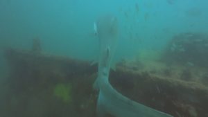
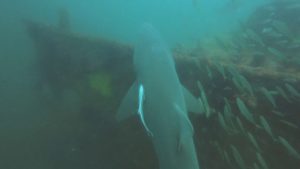
Thursday morning was spent organizing gear. Since I am traveling/diving for 3 months straight, I wanted to ensure that nothing was left behind. Following a filling lunch with Michele and the entire SRC team, Brett and I collected our gear and headed to the Denver Aquarium. While there, we dove in the shark tank exhibit with the guidance of Wendy Murray – Dive Program Manager at the Downtown Denver Aquarium. This exhibit has sand tiger sharks, blacktip reef sharks, sandbar sharks, zebra sharks, and sawfish. Not only did the exhibit give me a chance to test out my wetsuit and GoPro, but I got to observe these gorgeous, graceful creatures up close. While diving, we even found a few shark teeth scattered along the exhibit floor. Shark’s teeth are organized in neat rows. When sharks shed their teeth, which they do continuously, another tooth shifts into its place.

All shark dive photos – PC: Brett Seymour

On my last day in the office, I got to observe Brett and Susanna as they finished editing a video filmed in partnership with the WAVES Project at Lake Mead. I enjoyed learning about the project and also found it fascinating how much work goes into even the final stages of video editing for the SRC.

My final full day in Denver was spent reorganizing since the dreary weather prevented much exploring. Upon leaving the SRC, my dive bag weighed 70+ lbs. Luckily, after shipping several pounds of excess clothing home and reorganizing my small duffle, I was able to successfully reduce the bag to 50 lbs. Praise portable bag scales!

All packed and ready to travel!

In the early morning on Sunday, I parked the white suburban for the last time and headed to the Denver airport to officially start my NPS adventure. Before my flight, I was fortunate enough to grab breakfast with Leah, my previous coworker/roommate in Bonaire, and her boyfriend, Brandon.

Quick breakfast with friends before heading to California

My first stop on this whirl-wind adventure is Channel Islands National ParkThere, I will assist with the Kelp Forest Monitoring project by participating in a 5-day research cruise. Thanks again to the entire team at the SRC for being so welcoming during my time in Lakewood, Colorado. I enjoyed getting to know you all, and I appreciate the time you took to help prepare me for my internship. And thanks to Our World-Underwater Scholarship Society® for this spectacular opportunity.


Quick Facts about the SRC:

  • Formally established in 1980
  • Initially referred to as the Submerged Cultural Resources Unit (SCRU)
  • Previous headquarters of the SRC were in Santé Fe, Mexico but they moved to Lakewood, Colorado in 2000s
Share

Discovering the Heat-Resistant Reefs of Ofu Island at the National Park of American Samoa

“Don’t mind the lizards, watch out for mean dogs, and don’t drink the water. Those are my three biggest island tips,” Tori tells me as we are preparing to go to the grocery store. “I wasn’t sweating it about the lizards, but good to know about the dogs!” I respond. Tutuila, the main island of American Samoa has a rash of stray dogs. As cute as they may look (they generally do not look cute), they are wild animals and fairly ferocious.

Tori picked me up from the airport last night, and I was instructed in an email to look for a “blonde woman that is extremely tall, she will stand out.” Sure enough, in a sea of Samoans, Tori stands out. She has adjusted to the island after 7 months of working at NPSA and embraced many of the traditions here. As a native Ohioan, she has a wholesome flavor to her and is probably the most hard science/technically focused of the team.

The shoreline of Olosega Island.

After a short drive, we enter a chaotically arranged grocery store and Tori excitedly exclaims, “Zucchinis! I haven’t seen zucchinis since I’ve been here!” As beautiful as American Samoa is, it’s geographically closer to New Zealand than the mainland US. Being that far away creates challenges for trade, and particularly for produce since very little is grown in Polynesia.

We are shopping for our upcoming trip to Ofu Island in the Manua islands. Ofu is about 75 miles away from Tutuila, where the National Park Service (NPS) is based out of. We will be flying out tomorrow on a small 12-passenger plane. There are about 150 people that live on Ofu and about 200 that live on Olesega, which is connected to Ofu via a narrow, 100m long bridge. Needless to say, provisions are hard to come by on the island. Once we pack up the car, we head to park headquarters to ready our coolers for the morning.

Our destination is in Manua. Here are the beautiful islands of Ofu and Olosega.

After Tori introduces me to some of the park staff, I meet Bert Fuiava, Park Diving Officer and acting Marine Ecologist at the National Park of American Samoa (NPSA). Bert is a massive man. In the words of the acting NPSA superintendent, Daniel George, “Bert’s arm is the size of my leg!” Bert’s muscular exterior belies his fun-loving personality. Though he works extremely hard, he is the biggest prankster on the NPSA team and embodies the “no worries” island attitude.

After I meet Bert, I meet Ian Moffitt. Ian and I connected virtually many years ago. Truth be told, I have applied to work at NPSA multiple times over the years. Being from Los Angeles himself, Ian and I have a mutual contact that connected me with him years back. After occasional internet chats, it is great to actually meet him in person. “Want to come help me out with some boat stuff real quick?” he asks me.

(L-R) Bert Fuiava, myself, and Daniel George at park headquarters.

Soon enough, we are at the NPSA boat yard. Ian shows me around and I get to work gathering equipment for Ofu and doing a bit of housekeeping. Unfortunately, Ian isn’t coming with us to Ofu, so this may be one of my only opportunities to talk with him. Ian’s been in American Samoa for almost 3 years- the longest of any of the pelongis (non-Samoans) on the NPSA team. He tells me about the benefits and challenges of his stay on the island and how his career has progressed at NPSA. Without Ian, NPSA would have trouble continuing their dive program. His mechanical knowledge is a precious resource, as he keeps all the park boats up and running. We also talk about our hometown of Los Angeles a bit as well. I don’t always have a hunger to be around people that grew up in the environment I did, but it is really nice every now and then. Ian is such a solid guy. He is constantly working and hyper focused, but knows how to have fun and isn’t so serious that he can’t crack a joke every now and then.

Tutuila is one of the hubs of the tuna industry in the Pacific. The scene of locals preparing nets for massive international fishing vessels is common in Pago Pago.


Tori, a few of her friends, and I are lathering up in bug spray at Tisa’s. Tisa and her husband, who oddly goes by the name of “Candyman” run Tisa’s Barefoot Bar. It’s a bar/restaurant that makes from scratch or catches nearly everything they serve- including fresh fish and piña coladas. While Tisa’s food and drink was the draw for us, I was more interested in their Marine Protected Area (MPA). Tisa and Candyman manage the MPA that lies directly in front of their business. “Their giant clams are the biggest I’ve seen on the island,” Tori tells me.

I ask Candyman how they deal with poachers. He tells me that it’s usually easy because they can see them walking on the beach or snorkeling on the surface, but lately it’s been tough. “There are no scuba shops on the island, but people are still getting scuba gear here. They go out at night for the clams and they are hard to see underwater. I’ve been kayaking out though and dropping some rocks in the water when I see lights!” Though this sort of management would never be considered acceptable in the developed world, it is working here and quite an inspiration to me.


“So apparently there’s a matai on our plane,” Tori tells us as we are loading up the van in the morning. Matai’s are high-ranking Samoan chiefs. Having a matai on your plane means that you and your luggage will not get priority and may or may not make it to your destination. Normally, this isn’t a huge deal. However, there is only one flight a week to Ofu. Even though we sent most of our heaviest equipment via boat last night, not having our gear (or even worse, crew) for the week would be devastating.

Ofu’s corals have quite the reputation and it’s easy to see why!

Once we get driving, Daniel lightens the mood. He says, “someone described these planes to me the other day as a ‘flying busses,’ which is comforting…how high do these planes go?” Bert responds, “4000 feet I think.” “Ok, good. If it was 5000, it might be a problem, but I feel totally fine hoping out of the plane at 4000 feet if it comes down to it.”

This is the essence of Daniel. Daniel has spent most of his life on the Pacific coast of the lower 48 and currently heads an Inventory and Monitoring team based out of Pinnacles National Park in California. He perfectly walks the line between being professional and having fun. As such, he is quite popular with his team. Daniel is also one of those people that is probably the smartest person in any given room that he walks into. He is an avid birder that leads his team by example with a strong work ethic and is probably the funniest person I’ve met all summer.

The plane coming down on the runway at Ofu Island.

Once we get to the airport and grab a quick breakfast, we board the plane with the matai without a hitch. After unsuccessfully looking for whales outside my window for 30 minutes, we arrive on Ofu and head to “the lodge.”

The bridge that connects Olosega and Ofu.

The lodge is a 1-minute walk from the airport (note that the airport is just an airstrip and an open structure). It’s odd to not have to find transportation to my destination from an airport, but really convenient. The lodge sits right by the coast and next door to the NPS visitor’s center on Ofu. A married island couple named Ben and Deb run the lodge. They each spent significant amounts of time stateside and can communicate and connect well with their guests.

Elsa and Jason Bordelon inspecting a prized delicacy on the island- coconut crab.

We quickly put away our food in the breezy kitchen of the lodge to a reggae soundtrack and start putting together gear for the day. While we are gathering up the equipment we need, I hear 3 year old Elsa Bordelon exclaim, “best day ever!” as she looks out on the ocean. Elsa is the really the star of the trip. She is the daughter of Jason Bordelon, Chief of Interpretation. Jason and I bond quickly as he also spent several years on the west end of Catalina Island and likes to surf. Between Elsa and work, Jason is staying pretty busy on Ofu. Elsa is a free spirit if there ever was one and makes the whole crew laugh throughout the week.

There is a small store on Olosega where residents can buy mostly canned goods. Chicken is also available in zip loc bags.


Once we are ready to go into the field, Bert, Tori, and I hop in the truck with the Ofu NPS team- Brian and Boy. Ofu is of particular interest to the scientific community because of what happens in its nearshore “pools,” where seawater gets held up at low tide and the interaction with the open ocean is limited. These pools heat up to above 90 F, which is much hotter than corals should be able to withstand. Yet, the corals in the pools are thriving. Why is this? What makes these corals different? Does this provide us hope in the face of a warming ocean?

NPS is continually working with Stanford and Old Dominion University to answer these questions. This week, we are taking water quality samples (just like I did at KALA) as part of the Inventory and Monitoring process that goes on in the Pacific, as well as looking at coral reef plots that partnering universities are researching. The latter exercise involves us finding corals that the university has tagged in the warm pools, retagging them (the tags get covered in encrusting algae very quickly), and taking photos so that all involved parties can analyze how quickly the coral is growing, bleaching, or receding. The idea is to find which corals are growing well in the warm pools and why that is.

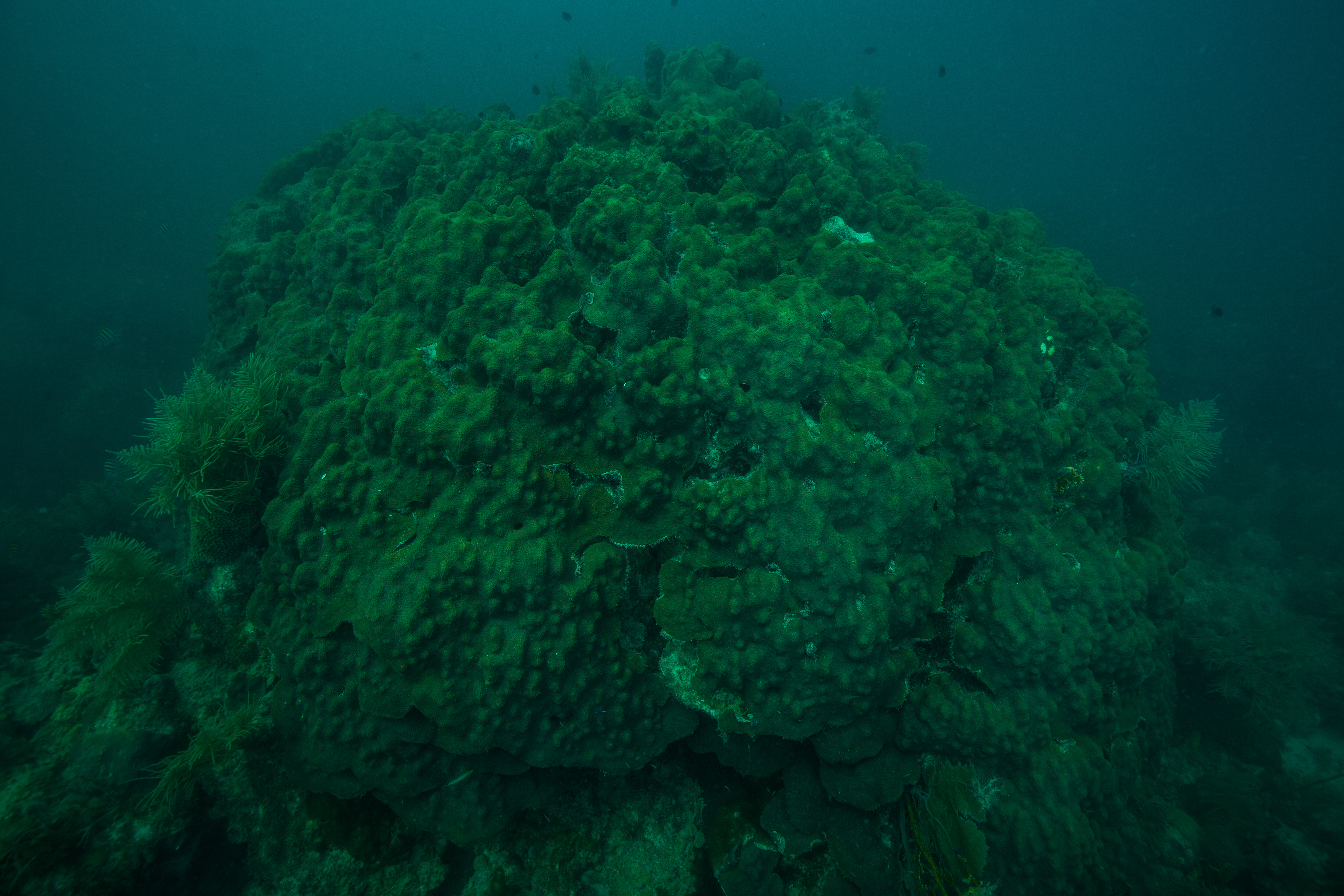
Massive, bouldery Porites corals make up the majority of the coral cover on the island.

As we are taking our water quality samples, Bert is teaching Boy and Brian how to do it so that they can help with the study when the Tutuila-based team isn’t on Ofu. After we go to several sites and finish all of the water quality samples we need to take on Ofu, we call it a day and head back to the lodge.


It’s a warm afternoon on Ofu and Tori and I are swatting mosquitos off ourselves. We are on day 3 of our Ofu mission. I’m getting the hang of searching for tagged corals. It’s been very challenging because the tags are small to begin with and are often completely fouled or missing. We are struggling with certain tags more than others and start to see a pattern of which ones are missing. This helps us determine where we need to make new sites versus where we should actually spend effort looking for tags.

Bert inspects one of our new tags, they are never this obvious when you come back to them in 6 months time.

After our second site of the day, Bert shouts out, “Sione!” Sione is my name in Samoan and has become my nickname on Ofu. “Let me see how you husk a coconut!” I told Bert that I can husk coconuts- which is true. There is a perfect husking stick at this site. The thing is, I haven’t had a perfect husking stick to husk a coconut on in 4 years. It should be easier, but because I’m out of practice and have been husking coconuts with a pocket knife all summer, I struggle a little. About 8 minutes later, I’ve husked my coconut. “I’ll show you the Samoan way!” Bert says, as he proceeds to husk a coconut in about 20 seconds and we all laugh.

Tori records data about the corals and the number of our new tag to makes sure it all makes sense for both NPS staff and collaborating universities.

As day turns into night, we are all cooking dinner. I look at the food Daniel brought, which is only rice, beans, and quinoa. I have to ask him. I turn to Daniel and say, “are you vegetarian?” I am hoping for a fellow vegetarian in American Samoa. Despite how every single person I’ve met who has been to American Samoa has told me how difficult it is to be vegetarian here, it’s actually not too hard. However Daniel is not a vegetarian, “I’m mostly vegetarian, but I’ll slam an animal every now and then if I need to.” I can’t help but crack up at that statement. Slam an animal?! That has to be one of the funniest ways he could have put it.

Coral nurseries like this are common in Ofu.

Though Daniel is hilarious, what I admire about him most is his commitment to his values. The reason he brought so little food with packaging to Ofu was because knows that what is brought to Ofu gets put into a “dump” (a hole in the ground) on Ofu and often will end up in the ocean or burned. In order to reduce his footprint on the island, he brought food that has the least amount of packaging possible. This is what a leader should be doing.

Daniel dives in to get a photo.


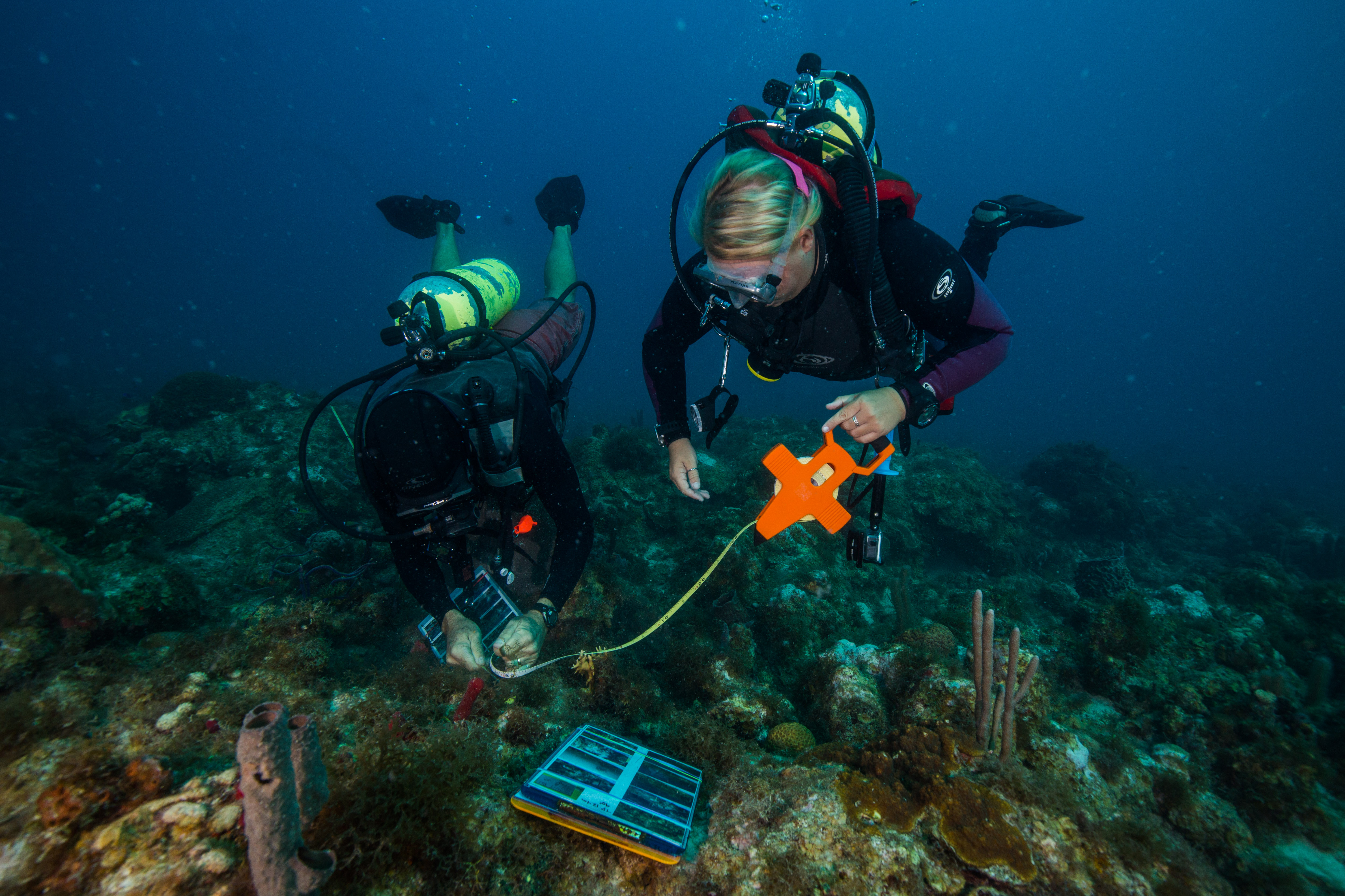
My scuba boot tan is pretty spectacular right now. After 5 days of surveying, the back of my legs are extremely tan and the skin under my boot line is not. Today, we are also doing some video surveys along our transect lines. The way it works in-water is Bert and I set up the transect tape at each site, then Tori swims along the tape taking video. The video is analyzed later and compared to past videos. NPS is specifically looking at coral cover and coral health from previous survey to this survey.

Healthy corals mean healthy fish!

Additionally, we are taking a cow bile mixture with us today in case we see any crown of thorns sea stars (COTS). COTS are native to Samoan waters, but they are what I like to call “coral reef lawnmowers.” They are ravenous coral eaters and don’t really have natural predators. It’s difficult for humans to remove them as well since their bodies are covered in venomous spines. As such, having multiple COTS in a small area can spell death for that entire section of reef. NPS uses cow bile to kill COTS. It is inserted into the COTS through a syringe and will disintegrate the COTS within 24 hours without harming any other marine life.

The white “scar” on the coral on the left side of this structure was caused by the COTS that ate it, cryptically hanging out under the overhang. COTS are generally much more active at night than during the day.

After our first site, we head to a site where we’ve been seeing COTS throughout the week. I take my camera in the water. Tori, Brian, Boy, and I look for COTS while Bert holds the cow bile mixture. After about an hour of work, we inject 10 COTS. American Samoa experienced a massive COTS outbreak many years ago and it has been the primary objective of NPSA to manage the outbreak until this year when it was deemed managed. All in all, they killed over 26,000 COTS.

A more conspicuous COTS. They really do live up their name, don’t they?! Crown of thorns?

This is even more impressive when considering the logistical challenges of American Samoa. There are no dive shops nor places to get boat parts in American Samoa, and shipping to and from the territory is unreliable at best. That being said, the fact that Brian and Boy can accomplish the things they accomplish is even more impressive. They are the only two NPS employees on Ofu.

Throughout the week, I’ve gotten to know Brian and Boy pretty well. Brian is a clear communicator who has infinite curiosity and an open mind about his new island home (he’s been on Ofu for about 3 months). He is supported by his wonderful bohemian wife, Rebecca- a California surfer with the most caring heart. Boy is a local. Born and raised in Manua, his local knowledge helps fill in the culture and local ecology knowledge gaps for Brian. Boy is also one of the hardest workers I’ve met this summer.

Bert injects a COTS with cow bile as Brian looks on.

After a long day of surveying and COTS management, we head back to the lodge. Jason and his family have ordered dinner tonight as a special treat and the dinner is a locally speared fish. Daniel and I start to talk about the experience of a speared fish and Daniel says, “yeah, I imagine that the fish probably tells his friends ‘hard pass’ in regard to being speared.”

Later on, Daniel and I team up again. This time, it’s to take down some of the locals in a game of billiards, and by take down I mean that our goal is solely to keep our dignity in tact after we leave the pool table. We proclaim ourselves “Team Pelongi.” As Team Pelongi gets the game started, I miss an easy shot. Daniel jokes, “oh nooo! Your whole family is embarrassed and they’re not even here!” I end up laughing so hard, it’s difficult to finish the game. I never get tired of Daniel’s humor.


Marine debris is an issue even in the remote waters of Ofu.

Today is our last day in Ofu. The mission for today is removing some marine debris that we spotted a few days ago at one of our sites. There is a huge fishing net wrapped around a dead coral head. It likely killed that coral head along with countless others. It’s hard to say if it also killed other, larger animals in the ocean, but marine debris does that more often than not.

The team works to free the net.

Once we are at the site, we find the debris and begin moving it. Boy brings a machete, which makes the process surprisingly quick. Within 2 minutes, the net is ready to be removed. My job is to document the whole thing, but by the time I’m ready to shoot, they have almost removed the net! Once the net is removed, the team drags it onto shore and into the truck.

Run Forrest, run! Boy leads the charge taking the net back up onto the beach.

After the removal and some fun snorkeling, we go over to Boy’s family’s land to harvest some young coconuts. Brian picked some would-be trash and turned it into a pole to knock coconuts off of trees. Once we have 7 or 8, Boy starts giving us a lesson. “You see? Like this,” as Boy flicks a coconut to show us how to tell if it’s good or not. Then he starts flaking off the top of the coconut with his machete. I ask him I can do my own, because I’ve always wanted to try. He agrees and I start hacking away to get the perfect drinking hole in the top. The process is really fun for a beginner but also a little more difficult than it looks. How do the locals have such pinpoint accuracy with their machetes?


I leave American Samoa tomorrow, so I need to finish editing all of my photos and get my last good byes in. My first stop is the NPSA office. After many hours of editing, I say my goodbyes to Jason and Bert. “Sione! This is for you,” Bert says giving me a NPSA shirt. I thank Bert for hosting me, all of his hospitality, and showing me the ropes on Ofu. I also tell him to come visit me in California when he and his family go to their second home on the west coast.

Later that evening, Ian and Paolo (another NPSA employee) come over to hang out with Tori and I. Ian brings up something I said after meeting him last week, “We’d been talking for no longer than 5 minutes, and then I’m walking out the door to help someone and I hear you say ‘thanks Ian, you’re so cool and thoughtful!’” Paolo lets out a laugh, “cool and thoughtful! HA! That is classic!” Ian puts things into context, “I was kind of stressed and didn’t even notice when you said it. Then I was like, wait, did he just say that?! Was that a joke?! Ha ha ha.” For the rest of the night, “cool and thoughtful” becomes our phrase of choice. “I hope that ‘cool and thoughtful’ becomes my legacy at NPSA,” I laugh.

Boy reaches to play with an octopus on Ofu.

I had a blast with Paolo and Ian. It’s really fun to be around two California guys so far from home. Unfortunately, I say my goodbyes to them and Tori when Daniel picks me up for my flight. Daniel is my last goodbye. I tell him that I am going to contact him when I get up to Pinnacles one of these days and that I think he makes an excellent Superintendent.


American Samoa is one of the most remote and unique places in the National Park Service. It was such a privilege to be able to go to NPSA, and particularly Ofu. It was the perfect end to my summer tour- a beautiful landscape and equally beautiful seascapes with the best crew I could ever ask for. I was also happy with my own effort and work at NPSA, which is a great feeling to have. I would say that I feel like I finished on a very high note, but truth be told, I’m not finished. In 36 hours, I’ll be in Washington D.C…


Share

Reflecting on Horrors of the Past on the Shipwrecks of Valor in the Pacific National Historic Monument

I’ve been on O’ahu for a few days. I arrived over the weekend and yesterday was a holiday, so I haven’t gotten in touch with the National Park Service team here yet. I’m strangely thankful for the break. It’s provided me much needed time for photo editing, blogging, and getting in expense reports. O’ahu has also felt like a second homecoming of sorts. I have many friends on the island, some of which I’ve been able to visit and some of which I’ve been staying with. By the time 11AM rolls around on Tuesday, my park work starts to begin. My phone whistles at me through the heat of the Hawai’ian fall.

Hi Shaun, can you get to the park by 2 PM?

A little bit of extra time on O’ahu allowed me to get out to Makapu’u lighthouse.

It’s Scott Pawlowski, Park Diving Officer at Valor in the Pacific National Historic Monument (VALR). VALR is most well-known for being the home of the USS Arizona, a US Navy battleship that was bombed and consequently sunk by the Japanese in Pearl Harbor on December 7, 1941. It is also home to the USS Utah and Oklahoma Memorials, both of which suffered similar fates on that day. The significance of the attack is that it signaled the entrance of the US into World War II. The USS Arizona is the most symbolic physical entity our country has to pay homage to victims of that attack, but it also represents the soldiers lost throughout the war. Needless to say, this park experience is much different than going into the grandiose valley of Yosemite.

The USS Arizona memorial in Pearl Harbor is a shipwreck and a grave site.

I’m meeting Scott to go over my schedule for the week and get oriented to the resources and operations in the park. Pearl Harbor is still an active military base. The park is just on the outskirts of the base, so security at the front gate is tight. The guard sees me decked out in National Park Service (NPS) gear and asks, “Shaun Wolfe?” I tell him, “that’s me!” He lets me through and directs me over to Scott who is mid-conversation with a ticket booth employee. “Shaun, Shaun, good to see you finally! Sorry we couldn’t get you over here earlier. We’ll have to make some stops along the way, but let’s head up to the conference room.” Sure enough, Scott is either stopped by park staff or has to poke his head in a door almost every 10 steps. He is a busy man. VALR is one of the smallest parks I’ve ever seen but they have an exceedingly high visitation rate – approaching 2 million visitors a year –  and co-manage the park with the military. This puts quite a bit on everyone’s plate.

The far room of the memorial has names of all deceased USS Arizona soldiers carved into marble.

Up in the conference room, Scott gives me the lay of the land and starts letting me know what my opportunities will be. The dive program is getting audited on Thursday under the jurisdiction of Steve Sellers. Steve is a diving legend. He is a past president of the American Academy of Underwater Sciences (the authority for all scientific diving) and the Diving Safety Officer at East Carolina University for nearly 20 years. He is now the Diving Safety Officer for NPS and is based out of Denver along side the Submerged Resources Center in Colorado. I missed him while I was there and jump at the opportunity to join the audit on Thursday. Saturday we are diving the USS Utah for sure, and possibly the USS Arizona as well. Sunday I will tour the park and the USS Missouri outside of the park (a WWII era ship which is still seaworthy and docked on the base).
Scott is a solid guy. He has a very endearing goofiness to him but can flip over to military-like seriousness when needed (this happens often given the park he works in). He is from coastal Washington (but don’t ask him to jump in cold water!), doesn’t sweat the small stuff, and is pretty intent on giving me as many opportunities as possible in the park, which I genuinely appreciate.

I was able to snap this photo between crowd rushes. This is the inside of the memorial. It feels strange being back here after 18 years away.

While we are waiting to hop on board the Navy boat that ferrys guests out to the Arizona Memorial, I notice that the diving here will be very different to the other diving I’ve done in Hawai’i. First and foremost, I haven’t dove a wreck all summer. Moreover, the visibility is much worse and the bottom will be silty in the harbor. Another thing that comes from being in a harbor is protection. “I haven’t had to worry about ocean conditions in 12 years,” Scott tells me.

We motor out to the memorial and I put my phone on silent and remove my hat. The USS Arizona is parallel to and just underneath the memorial. The memorial is a white rectangular structure that has a concave roof with lots of cut outs in it. Stepping into the memorial, the crowd goes silent. It’s quite the juxtaposition to the boisterous nature of the large crowds onshore. The USS Arizona is not only a shipwreck and a memorial to the dead soldiers, but it is a grave site. 1,177 men died on board when the ship was attacked and remain within the Arizona’s submerged hull. The memorial is a place of quite reflection, learning, and mourning.

Visitors view the ship from the memorial.

As we pass through the main hall, visitors gaze upon the deck of the USS Arizona. The ship itself is oriented exactly how it would have been above water. The hull sits perfectly on the seafloor and the deck is parallel to the surface. The deck is very shallow. Though it is hard to make out exactly what you are looking at because of the cloudy water. One salvaged gun turret stands above the water and provides a more visually relatable image for guests and interpretive displays give the visitors a better sense of the ship’s structure. There is a sheen on the water caused by oil that is still leaking for different compartments on the ship.

Visitors have a limited view of the ship, though it is better at low tide (seen here). Notice the oil sheen and black oil spots on the surface.

Heading to the back of the memorial is a separate room with all of the names of those who died on the ship engraved into a marble wall. Two things strike me in this room. One is the sheer amount of soldiers that died that day. Two is the list of veterans that survived the attack from the USS Arizona that have chosen to be buried on the ship. Scott and the dive team help run a program in conjunction with the military to put the remains of USS Arizona survivors in the hull of the ship to rest with their fallen comrades.

The Tree of Life shines light on a list of the soldiers that died long after the attack that have been cremated and buried inside the ship with their fallen comrades.

On our way back to the boat, we come across a cut out in the floor of the memorial, directly above the deck of the USS Arizona. “This was put in for the survivors that come back. It is a place where they can spend a more intimate moment with their crew members on the ship,” Scott tells me in a low voice. While the memorial is certainly set up to teach and cater to visitors, it was made for the survivors.

This space was built for survivors of the attack on the USS Arizona to have a more intimate connection with their fallen crew members.

Once we are back on shore, Scott shows me around the onshore grounds of the park. The interpretive work the park is doing in the way of signage, image displays, and exhibits is some of the best I’ve seen anywhere. “We want people to understand what happened and be able to put themselves in the shoes of the soldiers that day,” he says. As we move closer to a 3D map of O’ahu showing all the places on the island that were attacked, he tells me, “we also want them to understand that this really wasn’t an attack on Pearl Harbor, it was an attack on Hawai’i.” The Japanese sought to knock out as many of our naval and aerial resources as possible on the island, which are spread out between the coastline and the island’s interior.

The viewshed at Valor in the Pacific.

After a few more displays, Scott stops and looks up. Pointing to the horizon, he articulates that the horizon and the landscape around the memorial is a park resource as well. “Outside of a few piers, one low-lying bridge, and some houses, this landscape hasn’t changed much since 1944. Between our displays of where the planes came from and the view of the landscape here, we hope our visitors can imagine what happened on December 7th.”

As I say my goodbye to Scott, I comment on the uniqueness of VALR, “this is one of the only National Parks that I have ever been to where visitors come almost exclusively for the cultural resources of the park.” When most of us think National Parks, we think of massive mountains and big valleys filled with streams and wild animals. VALR is on a military base near a big city. It has murky water and no wildlife that visitors can see. People come here to learn about World War II in the Pacific and to pay their respects to the dead.

Sunset over the windward side of the island.


“Don’t be afraid of the red,” Steve Sellers says as he goes over the audit of the VALR dive program with Scott. “It’s all minor paperwork and data entry, easy fix,” he assures. Steve conducts audits of all 25(ish) park diving programs every three years to ensure that all national standards are met. Scott has brought me to the park to see the audit so that I can understand the nuts and bolts of running a dive program. The majority of the audit comes in the way of paperwork and making sure the information in the computerized diving management system is up to date. The Park Diving Officer, the Regional Diving Officer, Diving Control Board, and the park divers themselves all play a role in updating the system and keeping the program safe. I think the most interesting part of the dive program that I learn about during the audit is how these stakeholders form a check and balance system. Steve interacts with divers on the park dive team individually as well to get their take on the program and make recommendations about the program at a park, regional, or national level.

Steve Sellers (right) inspects some gear at VALR with Scott (left).

“I haven’t seen anything that makes me question the safety of your program,” Steve concludes. Scott knew almost everything that needed to get done before Steve came in thanks to the self-audit all Park Diving Officers are required to do in advance of Steve’s arrival. Even so, he is relieved to hear the news. The audit is really less of an intimidating, harsh consequential meeting. It’s more of a conversation about making the program safer and being in full compliance with national standards. This atmosphere, in my estimation, makes for a much more productive audit, stronger working relationships, and safer diving within NPS.


The USS Utah Memorial is smaller than the USS Arizona Memorial and closed to the public due to its location on the base.

I’m eating a larger bowl of oatmeal than normal this morning. I also woke up earlier to make sure all my gear is ready to go. Today is my day in the field, the day I get to dive the USS Utah and the USS Arizona. It is a privilege to dive each. Only the National Park Service and military divers are allowed to dive the ships. My dive buddy is Dan Brown. Dan works in concessions for the park, working out partnerships between groups that want to work with or in the park. He is also a member of the park dive team.

Subsurface on the USS Utah.

After a dive safety briefing and orientation, we drive over to the USS Utah. The Utah is laying on it’s side and the deck partially breaches the surface. Our plan is to swim along the deck at different depths to see as much as we can. We scale down the slippery algae covered rocks of the shoreline and descend upon the bow. The water is murky (about 10-12 feet of visibility) and the bottom is fine silt, which is easily disturbed and can make visibility much worse.

The ship itself is quite the site. There are so many open hatches on the deck. Some of them have ladders that run down below and others are so dark I can’t light them up enough to see what’s there. We continue swimming along and see gun turrets and some sort of crane on deck. Everything on the ship is covered in impressive sessile life, mostly tunicates and sponges.

A broken mast on the deck of the USS Utah.

Due to the orientation of the ship, it’s size (200 feet + smaller than the USS Arizona), and the damage it sustained during the attack, it can be hard at times to remember I am looking at a ship. Parts of the ship are so mangled that they look more like an indiscernible metal heap. As we make the swim back to the bow, we cruise the shallowest part of the deck. This is the part of the ship with the most in-tact features and best lighting. I can start creating an image in my head of what the ship really looked like and what life may have been like on board.

Open rooms like this helped me understand the USS Utah better.

Our next dive is on the USS Arizona. I once asked Susanna Pershern, photographer at the Submerged Resources Center, what her favorite wreck was to dive. She told me, “the HMS Fowey at Biscayne [National Park], it’s in-tact, historic…it’s beautiful.” Puzzled by this, I inquired, “what about the Arizona?” She smiled and said, “the Arizona is in a class of its own, you can’t compare other wrecks to it!”

Getting into the water at the USS Arizona can be tricky. You don’t want to draw attention to yourself, as the focus should be on the fallen. However, it’s impossible to control the curiosity of visitors when they see divers getting in the water.

Needless to say, I was excited. If Susanna, who has logged hundreds (if not thousands) of wreck dives says this is thee wreck, it must be pretty special. Of course it feels strange to say that I’m excited or that the diving the wreck is cool. In reality, the wreck is anything but “cool.” It represents one of the greatest tragedies in US history and is symbolic of World War II- the deadliest event in the history of the world.

Swimming between the USS Arizona and the memorial structure.

“You’re going to be the brightest, shiniest thing around when we get out there. The key is to maintain a low profile without ignoring the guests. We don’t want the focus to be on us, we want it to be on the soldiers that are on the Arizona,” Scott briefs me as we prepare to board the Navy passenger ferry that takes guests out to the Arizona Memorial.

Once we arrive to the memorial, we wait for all the other guests to get off the ferry and we stage our gear in our own gated corner of the floating dock. Dan and I stealthily swim under the memorial and descend onto one of the Arizona’s four gun turrets near its stern.

Because the USS Arizona sits perfectly centered on it’s hull in a harbor with little ocean movement, the deck is flat and holds many historical items (in addition to pennies, cell phones, and other items visitors drop that the park divers clean up). We find some of these items right away. An old shoe, a mason jar, a hair tonic bottle, old broken bowls. These items humanize the wreck. I’m looking at items that likely belonged to or were used by soldiers on the ship. What if a lieutenant used that bottle of hair tonic on December 7th thinking it was going to be another mundane day in the harbor?

We then descend on the starboard side of the ship and find a few portholes in the hull. Some of the portholes still have their glass windows. I can’t see through these portholes as they are significantly fouled. The glass got blown out of other portholes, which are about 8” in diameter. I can look into these and my powerful camera lights reveal surprisingly in-tact rooms. In the first room we look into, there is a table and an a sink, perfectly in place. In the next room, there is a clothing hanger, likely undisturbed since December 7th. It is both chilling and spectacular. I imagine how normal that day was until it wasn’t. They must have been so unprepared and unsuspecting, just going about their morning routine as usual. Seeing these rooms is one of the most powerful experiences I have had all summer.

The portholes of the USS Arizona.

Swimming further towards the bow, we pass the most in-tact gun turret on the ship, holding three giant 14″ guns. I swim along the guns to see get an idea of how long they are. I swim, and swim, and swim. The guns are nearly 20ft long, much longer than the water allows me to see all at once.

Sometimes you have to improvise! I didn’t have the light and extra diver I needed to get this shot, so I took my strobe out and held it in my hand. I couldn’t get my hand out of the shot as these portholes are only as big as my camera dome, but a bad shot is better than no shot! This allowed me to peer into the rooms within the USS Arizona.

Finally at the bow, we pass by the most damaged parts of the ship. Where the aerial bomb exploded in a gun powder magazine and ultimately sunk the ship. I begin to think about what my grandfather must have felt like on that day. Did he know that the attack meant that he would be serving on a Navy ship at the battle of Okinawa and change his life forever? How did my grandmother feel knowing his fate might be the same as the men that went down with the USS Arizona?

This is all a tip of the hat to the National Park Service staff. Their mission here is to maintain these “resources” (ie. the ship and it’s contents) in context. In doing that, they have allowed me to see a story from the past. Though truthfully, seeing the ship from underwater something very few people will ever get to do. Most people have to access the story through the videos and exhibits that the park has put up. While these are excellent interpretation displays, there is no substitute for seeing the ship underwater.

Open hatches on the USS Arizona often reveal staircases.

Back on the dock, we are putting our gear away and appease many guests by answering “what are you guys looking for down there?” many times over. We take the Navy ferry back to shore where I say mahalo and goodbye to Dan for coming in on a Saturday to dive with me.

I also say goodbye to Scott. I thank him for allowing me to dive at both sites. I wouldn’t have been able to dive without him and his team did not need to dive otherwise today. Furthermore, I sincerely enjoyed my time with Scott. He’s a great person to work with. He keeps his crew loose and laughing, yet also efficient and professional. “I’ll make sure I get you tickets to the USS Missouri for tomorrow plus anything else you’d want to do around here,” Scott says to me as I hop in my red Smartcar.

Filling this car with my dive gear, camera equipment, and personal belongings was quite the feat. Photo credit: Natalie Shahbol.


It’s my last day in O’ahu and I’m going to be a full blow tourist at Valor in the Pacific National Monument and the USS Missouri. I arrive at the park to grab my comp tickets thanks to Scott. After seeing the film about the USS Arizona and touring the memorial another time, I hop on the bus to go to the Missouri.

The spot on the USS Missouri where the Japanese surrendered to the US to end WWII in the Pacific.

On June 22, 1998, I was 7 and ½ years old on a surfboard in Waikiki, O’ahu and the USS Missouri was being towed into Pearl Harbor. The USS Missouri is one of the most decorated battleships in American history and its main deck is where the Japanese surrendered at the end of WWII. As such, my parents remember this as a special moment and my mom brought it up on the phone with me many times this last month, knowing I’d be going to O’ahu. Of course, I didn’t understand any of the historical significance at that age. I only remember thinking the accompanying fire department boats that were spraying water high in the air were awesome. Now at 26 years old, I know that my relationship to the Missouri is about to change dramatically.

Inside officer’s quarters in the USS Missouri.

The first thing that stikes me about the Missouri is its size. It’s extremely tall and almost 900 feet long. Dan Brown advised me to block off 6-8 hours to tour the ship. Once I get on board, it’s easy to see why. Several decks of the ship have been turned into a museum, jam packed with displays and information. Every single room is an exhibit- officers’ quarters, kitchens, lounges, etc. Though the USS Missouri isn’t managed by the National Park Service, it compliments the USS Arizona, as the ships represent the beginning and end of WWII in the Pacific. Furthermore, after diving on the USS Arizona, the USS Missouri shows me what the Arizona was like in its heyday.

The guns and teak decking I saw on the Arizona come alive for me on the Missouri. The rooms I saw through the portholes in the Arizona’s hull are perfectly on display in the Missouri. With the entirety of the USS Missouri decorated as if it were underway with Navy soldiers on board (including sounds like thousands of people eating in the dining hall), I really begin to absorb the life that the young men on WWII battleships had.

Two things left a lasting impression on me after my visit to the USS Missouri. The first is the realities of war and how we talk about it as a country. Often times WWII is looked back on via triumphant and exuberant vignettes, like tanks rolling down the streets of a freshly-liberated Paris while young women are screaming praises at our soldiers. In reality, the war was the peak of human brutality. My grandfathers never spoke about the war. After going through some exhibits on the Missouri, it was easy to understand why. Soldiers were in constant and oppressive fear about being attacked. In battle, they often saw their best friends blown up. If they got to say goodbye, it was often to disfigured body parts.

The second takeaway for me was the kamikaze exhibits. The exhibit have photos of Japanese kamikazes and letters from each back to their loved ones sent before their kamikaze mission. Some of their personal belongings were on display as well, mostly those recovered after their terminal mission. They were all so young. I tried to put myself in their shoes, being 18 years old knowing I was going to die on my next mission. I tried to put myself in the shoes of their loved ones, knowing they were going to lose their son, husband, or sibling. Many of these kamikaze pilots carried a Japanese flag with them on their mission that was covered in written good luck phrases. My jaw dropped when I saw this. My grandfather had a Japanese flag that was badly damaged and looked just like this. What exactly did he see in battle? What experiences did he have that he was so unwilling to speak about? I couldn’t help but imagine the horrors he saw when I saw that flag in the exhibit.


As I am scarfing down some pad thai at my final O’ahu dinner with 3 friends from Catalina Island that live on the island, I begin to reflect on my time here. Valor in the Pacific is an incredibly unique National Park Service unit. From the way visitation works, to the responsibilities of the staff, to the globally historic importance of the park, to collaborating with the military and others, I have never visited a place like it. I came to the park mostly excited to dive the USS Arizona and the USS Utah. It is a privilege to be able to do so and one that very few people will ever have. However, my experience was shaped by the introspective moments I had reflecting on our country’s past. This is the goal of the team at VALR. This is how they want their visitors to feel after they come to the park. It was an honor to work with the team here and if my experience is any indication, they are accomplishing exactly what they set out to do.

Catalina boys! (L-R) Ricky Nichols, Ben Castillo, Myself, and Bryan Silver. Ben and Bryan were gracious enough to let me stay with them for a few days and even took me out sailing!

Share

Marine Monitoring at the Beautiful and Haunting Kalaupapa National Historic Park

It’s two o’clock in the morning at my house in Santa Barbara, CA. All of my housemates are asleep as I milk the last bit of internet I will have for the next week while I’m on the R/V Sea Ranger with Channel Islands National Park (CHIS). I’m trying to book my flight into Kalaupapa National Historic Park (KALA) on the island of Molokai after having no internet at back to back to back stops.

Seems simple enough, there is only one airport listed on the island. I book a flight to O’ahu and then a second over to Molokai and a sense of relief kicks in. I can now peacefully catch 4 hours of sleep and drive to CHIS headquarters.


One of the first sites you see at Kalaupapa is this art piece done by a patient that has since passed.

6 days later and I’m at my mom’s house in Los Angeles checking my email. I see an email from Eric Brown, the Marine Biologist at KALA.

Shaun, you will want to book your flight to KALA (LUP airport code) rather than topside Molokai (MKK) also known as Hoolehua. Otherwise you will have to hike the trail with your dive gear. Not an easy task.

Apparently there is more than one airport on Molokai after all. Several phone calls later, I get on the line with Makani Kai airlines. “You know not just anyone can fly to Kalaupapa. What are you doing there? Who is your sponsor?” the airline representative asks me. I give him the information he needs and 12 hours later, I’m on an 8 passenger plane flying over the highest sea cliffs in the world on the north shore of Molokai.

The view from the plane coming into KALA is the stuff dreams are made of.


One of the airline employees based at KALA comes to open the side door, “Ooooh! Looks like we’ve got all the kids on the school bus today!” He proceeds to say hi to almost everyone on the plane. I didn’t have a chance to thoroughly research KALA before I came due to lack of internet. I can tell it is smaller than I thought it was.

Taken from the front row, the planes going into KALA are small-9 people including the pilot!

“You must be Shaun!” Eric picks me out of a very small “crowd” coming off of the plane. I can tell Eric has been in Hawai’i for a long time. His grey hair contrasts with his dark tan and his mismatched flip-flops scream, or rather mumble, that he is an easy going guy.

We hop in his truck and he shows me around “the settlement,” or Kalaupapa. KALA is located on a small northern peninsula of Molokai. The history behind its current form is that it was founded as a place to send people that had contracted Hansen’s disease. Hansen’s disease is more commonly referred to as leprosy, but as this name brings many negative connotations for the remaining patients at KALA, I will refrain from using it in the blog.

No one really knows why these holes are in the floor inside of the original Catholic church at KALA. Many believe it was for the afflicted to drain fluid from open wounds that they often had.

When Hansen’s disease hit Hawai’i in the 19th century, King Kamehameha V exiled all afflicted to KALA. More often than not these were children, younger than 12 years old. Children are the most susceptible to contracting the disease. They would be ripped from their families and sent to die at KALA since there was no cure. Their families would frequently disown them as well. Hansen’s disease was thought to be genetic and it was taboo to associate with someone who had the disease.

If families wanted to visit their children, it would happen here. Families would be with armed guards on the left and children would be on the right. There was a chain link fence that ran down the middle of this table before Hansen’s disease was cured.

If the families did want to visit, they would do so accompanied by armed guards and speak to their children through a chainlink fence in a small room. Remnants of this intense segregation between patients and everyone else is all over KALA. KALA staff had their own seating sections in any shared space, all staff housing units were fenced in and patients could not enter. During this time, over 8,000 people died at KALA. Many graves are marked, but many more are not. In the 1940’s, a cure was discovered. The remaining patients at KALA were given a choice: stay at KALA and have all of your living and health costs covered forever, or leave and be on your own. Most decided to stay. Not only was the price right, but the community at KALA was the only family they’d known. As a society, we came to find out that Hansen’s disease is one of the least communicable diseases in the world and only 4-5% of the human population is even susceptible.

Here in the social hall, the kokua (helpers of patients) sat in the back section, separate from the patients in the from.

Today, KALA is very small. There are about 10 patients and 80 NPS or state employees that live in the settlement. You must be sponsored by a settlement resident to enter. Though small, it is semi-self sufficient by necessity as the settlement isn’t connected to the rest of the island by road. There is a small store (emphasis on small), gas station, hospital/care center, and garden.

Over 8,000 people have died at Kalaupapa, most of which have been buried in unmarked fields.

As I am getting settled into my new abode, Eric invites me over for dinner, “I’m vegan, special needs child if you will, so there won’t be any meat. Hope you don’t mind!” This is actually music to my ears. My diet is mostly vegan as well and it’s nice to not be a burden on the person cooking for you sometimes.

Eric at dinner with his cat that doubles as a neck pillow.

After consuming a massive stir fry, Eric takes me to the backyard. “You like apple bananas? These are ready to go and I can’t eat them all,” he says pointing up to a banana tree. I tell him that bananas would be great, especially since I don’t have food in the settlement yet.

Banana trees only fruit once and grow incredibly quickly. To get the bananas off a tree, you simply cut down the tree. Some equate banana trees to weeds that produce delicious fruit. However, I’ve never actually seen one being cut down. Eric uses what is essentially a butter knife. “You can use anything really, the trunks are real soft, it doesn’t take much!”

I am still surprised that these big trees come down so easily.

After we mind the banana resin (a stain nightmare for clothing) and grab the bananas, we game plan for the next day. “You need to go get food tomorrow. You’ll have to hike up the trail topside. It takes about an hour each way and you gain a little more than 2000 ft in elevation. Do you have a good backpack?” Eric asks me. “Yeah, I’m all set on a backpack. I just need to know where the trail is,” I tell him. “Ok, that won’t be too hard. Once you’re up there though, you’ll need to get into town. Do you know how to drive stick?” Ahhh, manual transmissions come back to bite me again. This is probably the one skill that I’ve gone the longest without learning when it comes to useful travel skills. “Regrettably, no” I respond. “That’s ok, I believe there is a bus that goes into town now too!”


The hunt for groceries starts at 5:30 AM. After choosing the wrong trail twice, I’m on the right one and half way through my switchbacks up the sea cliffs. “Hey bruddah, howsit?” a local says as he passes me. I haven’t heard “howsit” in a while, I must be back in Hawai’i!

Morning light hits the KALA cliffs.

I get to the top of the trail, hop on the bus, and get into town. Kaunakakai is a funny town. There aren’t many people, but there is always traffic because every car stops in the middle of the road to talk to their friends on the street. It feels like a glimpse into what the rest of Hawai’i was 70 years ago.

Downtown Kaunakakai feels like my grandfather’s Hawai’i.

After I buy what I need, wait for a few hours, and hop on the bus back to the trailhead, I’m on my way back down. There is an abundance of strawberry guava on the trail and I pick as much of it as I can without slowing down. I’ve never even seen it until now and it is so much better than normal guava.


We have a transect laid out on the ground and I am taking photos with a camera on the side of the transect. “This is exactly it! Keep you’re a constant distance from the ground using your monopod. We will analyze all the photos post-hoc (later) to figure out bottom composition and coral cover,” Eric informs me.

What we are doing is part of a long-term inventory and monitoring project in the park. Eric has a few sites that he goes back to year after year and a few others that are randomly chosen every year. We will be doing benthic surveys using the camera at each of these sites. This portion is my responsibility, while Eric does fish surveys. Once those tasks are complete, we will measure rugosity of our site (how complex the sea floor structure is). Topside, we will be taking water samples and using mechanical equipment to measure specific water quality parameters.

What Kalaupapa lacks in phone service, it makes up for in views.

All of these measurements give a complete picture of how healthy a site is and why it might be that way. More rugose sites (more complex structure) tend to have more fish. Sites with worse water quality will have less coral. These types can only come through long-term projects. One observation could be an anomaly. If the data is the same year after year, we know that it isn’t an anomaly. Furthermore, if the data is changing, we need to look at why and what can be done about it. Why is there better coral growth at this site this year? Is it because of a management practice put in place by the park?

Eric Brown takes a water quality sample with a niskin bottle.

Eric, more than anyone, understands the importance of this. He is a true scientist, whose mantra is “data or die!” He has the motivation of someone half his age. His determination to get the data is exactly what is needed at KALA, where he is on his own and doesn’t really have a “staff” underneath him. He’s a data cowboy of sorts, on a wild frontier where he works with whatever equipment he can get. He is the marine team here and it’s because of him this study has been happening.


“Our truck has good drainage, eh?” a park employee says as he points to the eroded truck bed. The constant exposure to salt at KALA is brutal for the vehicles. Eric washes the truck with freshwater after every dive day, but the space between the bottom of the tuck bed and the side walls is completely gone.

Laurene filtering sea water for a sample.

We load up the truck with all of our gear for the day and head out. Laurene, a park intern from France, is coming out with us today since her focus is mostly on water quality. This is her second tour in Hawai’i after working in O’ahu last summer. She is entering the natural science field after a stint in business management and is pretty giddy about it. Though she gets sea sick, she has an infectious laugh that keeps the crew in good spirits.


“This is going to a beautiful site baby! I can just tell!” Eric exclaims as we pull up to our dive site. We grab our gear and descend on a very boulder-y site with sporadic coral and excellent visibility. Things go smoothly underwater and we work through small kinks here and there. I see a couple umilo (blue fin trevalley), which I immediately anoint as my second favorite fish (the first being the Hawai’ian state marine fish, humuhumunukunukuapua’a).

One of the only boats we saw all week. There isn’t much traffic at our survey sites.

Back on the boat, we take several water quality samples to send to USGS, who partners with NPS and analyze the samples in a lab. We also use a sonde to measure local water quality. This machine has three probes that measure temperature, dissolved oxygen, chlorophyll, and many other water quality indicators.

Though visibility is incredible around KALA, the ocean is generally not calm. As we begin to take big swells, it becomes harder and harder to take water quality samples and filter our samples into small bottles. Especially since we are working from the bow- the place on the boat that experiences the most movement.

The sea cliffs around KALA are majestic and top 3,000 feet.

Eric then drops an empty sample bottle with a big swell. As we hear the bottle hit the deck, he shouts, “just how I planned it! Constant supervision!” We quickly finish our sampling after that and one more survey dive to call it a day.


After two more days of diving, today we may have time for one fun dive. We have spent the last two days diving on the far side of the peninsula around a few small off shore islands. One of the islands has a crack in it that starts at the surface and goes all the way to the bottom of the ocean at 80 ft. “The crack is huge, it’s like a giant swim-thru arch that you could drive a double decker bus through,” Eric tells me. He lets me bring my camera on board today as well, knowing we might squeeze a dive in at that site.

I was hoping to dive the arch all week. I’m so grateful that Eric allowed it!

After two survey dives, we eat lunch and decide that we have enough time to do the arch. When I get in the water, I almost have to put a hand over my regulator to keep it from falling out of my mouth. My jaw drops at the majesty of this arch. It is massive and so unique. I have never seen anything like it. I feel like I’m entering an underwater holy palace in a fantasy world.

Perhaps the craziest thing about the arch is the air pocket inside. Here you can see the entrance to the arch and above it, the air pocket.

After swimming as fast as possible to get in front of the other diver with me, I take some shots to try to use him as a way to scale the arch. It’s tough since he doesn’t really know this is my plan and I’m quite a distance from him. We then decide to surface in the airpocket at the top of the arch. The air pocket is inside the island and does not connect to the ambient air outside. This is my first experience surfacing inside of a giant rock before. It’s so bizarre. I take my regulator out and try to take a breath. Bad move. Let’s just say the air in there is not the best.

Best to keep your regulator in- the air in here isn’t fun to breathe.

We then swim back down and out the other side of the arch where Eric picks us up. I am elated. I have done a lot of incredible diving this summer, but this dive is on a very short list of dives that have blown my mind.


It’s the famous Friday night movie night at KALA tonight. I accompany Eric and his wife to see Gaurdians of the Galaxy 2 at Tim’s place. Tim is the chef for the remaining Hansen’s disease patients. A bunch of people from the community come and bring a plethora of delicious food- mostly vegan to include Eric in the festivities. Tim is the ideal host. He goes above and beyond for his guests and never stresses out about it. I have spent most of my days on the boat, so I haven’t gotten to experience much before now. However, this is a glimpse of the community at KALA. It is a tight-knit group where everyone knows everyone and everyone contributes. I can see why Eric has stayed here so long.


It’s my last night in the settlement before Eric, Laurene, and I go into the backcountry to do stream surveys next week. I can hear a large and blissful crowd inside a large well-lit historical hall. It’s the banquet for the annual KALA fishing tournament.

Not a bad venue to kick off the fishing tournament.

There is a NOAA team at KALA as well that helped put on the fishing tournament. I was lucky enough to see their speech at the start of the tournament, in which they tried to get the fishermen to use barbless hooks. I was really impressed at the stance that the team took and the rhetoric they were using with the locals.
“These hooks, they still catch fish. Hooking a turtle is illegal. We aren’t going to report you guys, that isn’t our goal. Please tell us though, it is important that we know when a turtle is hooked. If you use the barbless hooks, it’s so much easier to unhook a turtle or a seal. I use these hooks, all these guys (points behind to photos of fishermen with 100 lbs + fish) used these hooks. You’ll still catch fish and the marine life will be happier.”  
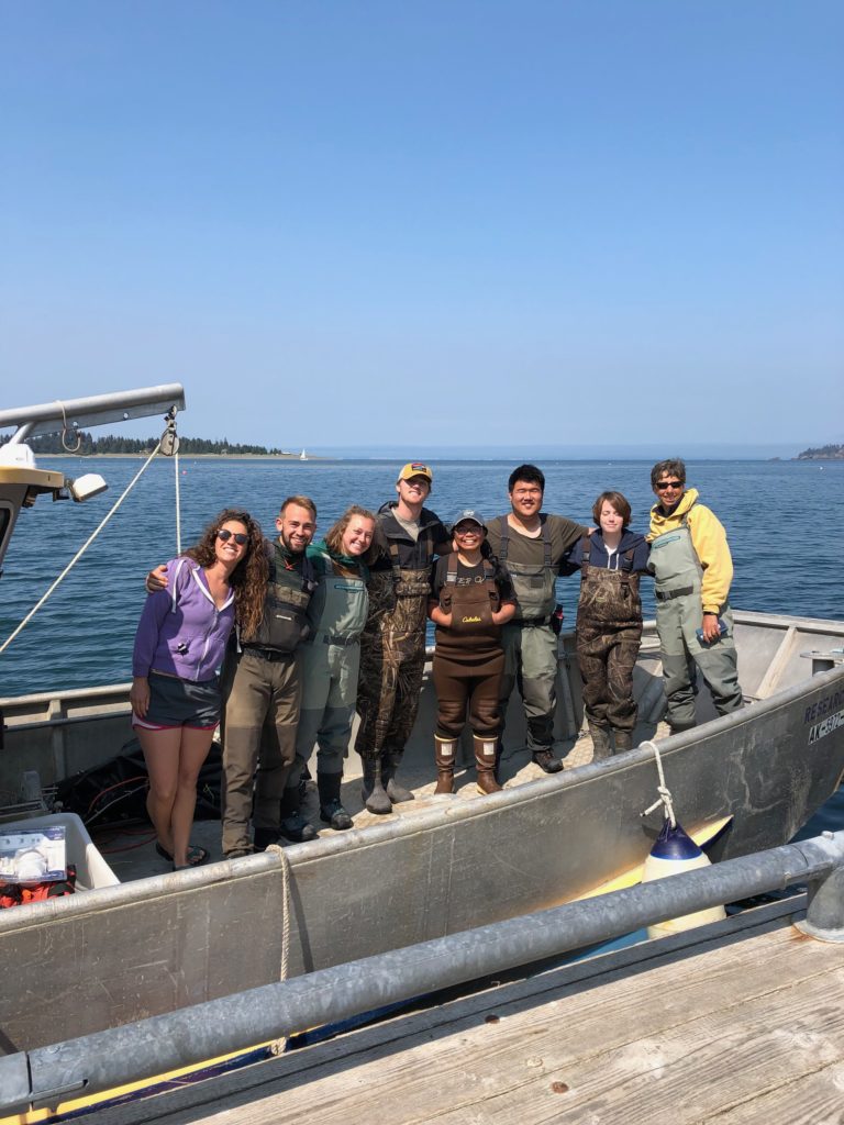
– NOAA Representative from the Barbless Hook team

They offered free barbless hooks and a special prize to the fishermen who caught the biggest fish on a barbless hook. Ultimately they got a couple fishermen to switch over to barbless. While their method isn’t inspiring rapid change, it is inspiring change and they have an extremely good relationship with the locals. In my mind, they are doing outstanding work and maximizing their effectiveness in their situation.
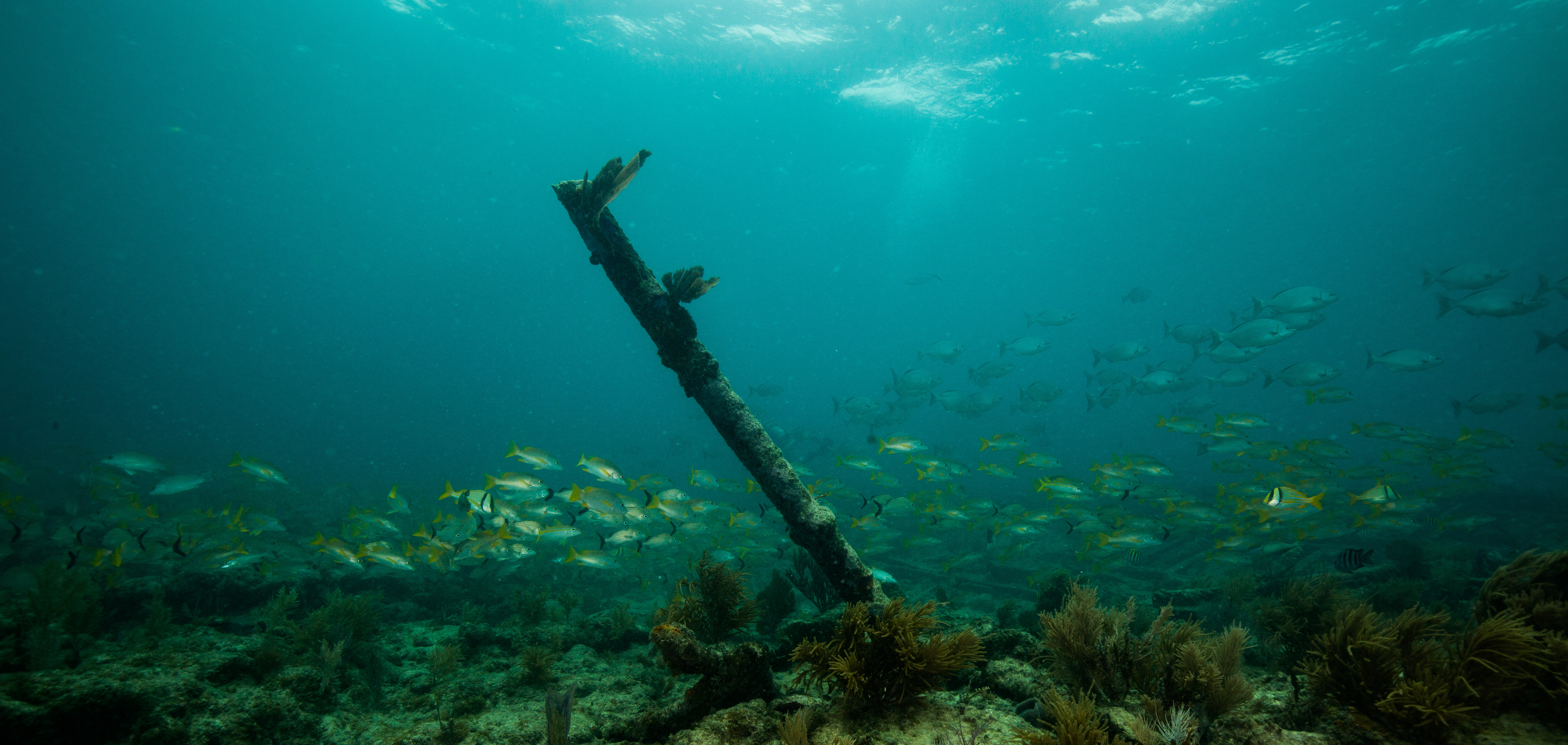
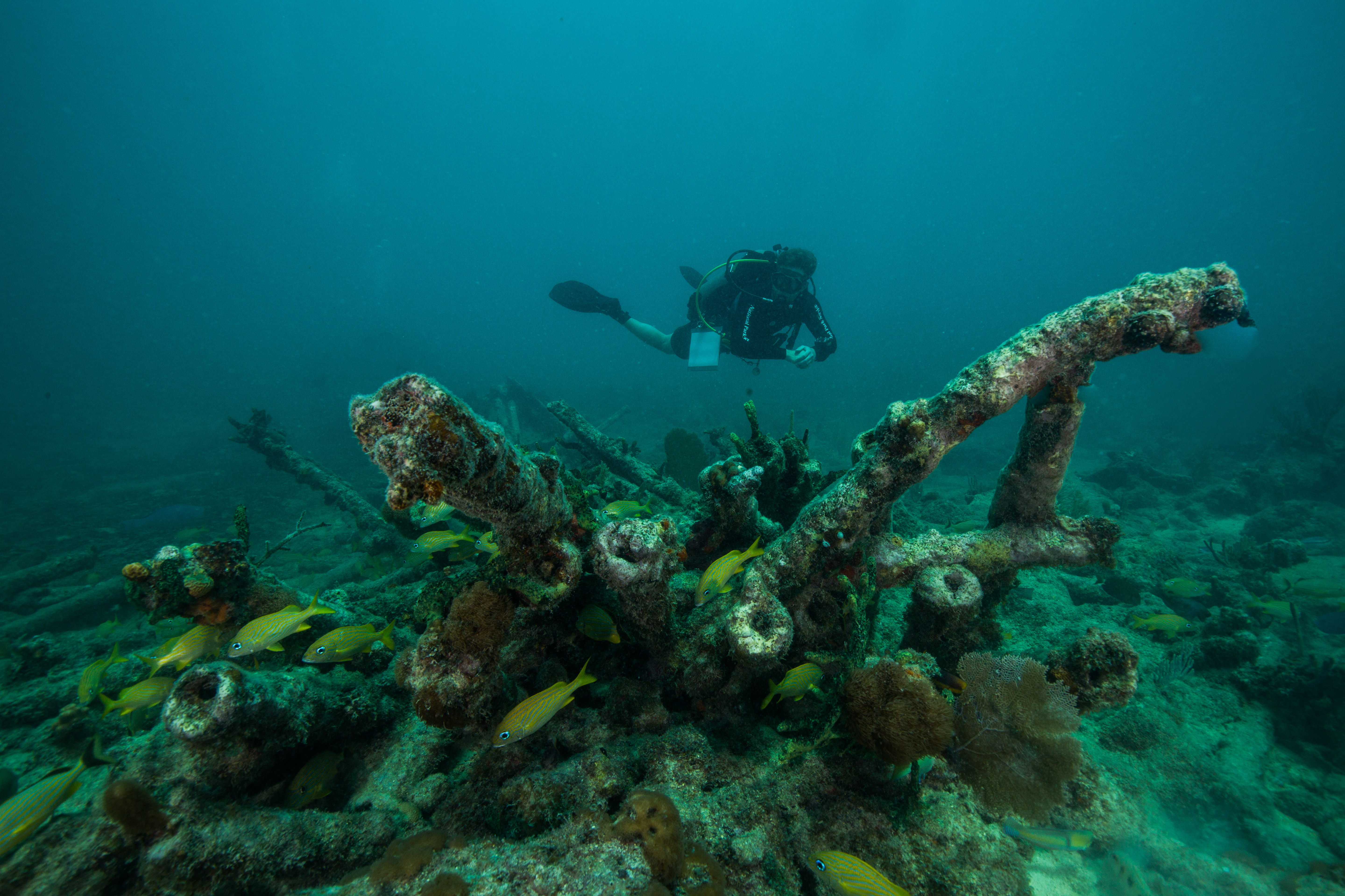
Eric Brown with the biggest catch of the tournament, a 35 lbs ulua.

The banquet concludes with a massive meal of all the fish from the tournament and local Hawai’ian food like poi (mashed taro to the point of liquid). As I chat with some KALA residents and take in the Hawai’ian music played with a ukulele, spoons, and a traditional instrument, I reflect on an incredible week of diving and a big week of backcountry hiking and surveying awaiting me next week.
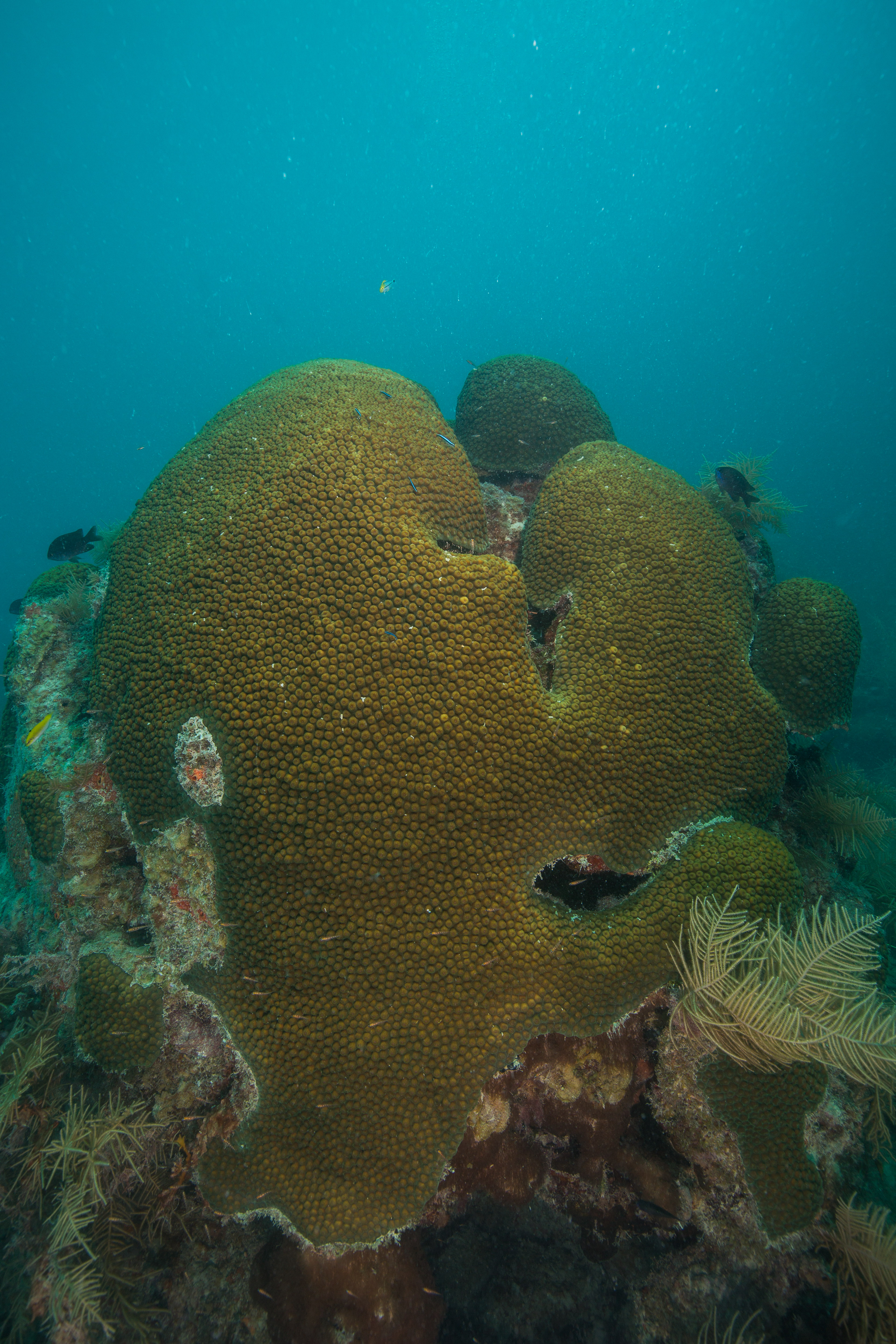
At the banquet, special prizes were given out to fishermen using the barbless hooks.

To be continued…

Share