Thank you, DAN!

My last few weeks here at DAN have been busy wrapping up projects, cramming in as much diving as possible, and saying tough goodbyes.

One of my final projects here was reviewing existing videos and identifying needed changes based on the revised course content from our earlier edits for global use. The next step was to create storyboards for filming updated videos for the Diving First Aid for Professional Divers (DFA Pro) course. Storyboarding is the art of creating an outline for a video or film using illustrations of main scenes and shots for the video.

I learned how to storyboard by researching how Walt Disney developed storyboarding for his films. Disney was the first to use the storyboarding practice, and it is still used today to plan films. Apparently, Disney said something along the lines of not needing to be a great artist to be a great storyboarder, only needing to be able to get a point across. While I enjoy art, I believe I have really embodied that saying in my storyboard work. They aren’t beautiful sketches, but it depicts how we want the films to look and highlights the important changes. This is beneficial in making the filming process more efficient and easier so the videographers and actors know how the scenes should play out. I won’t be around for the video shoot, but I look forward to seeing the changes posted in version 3.0 of DFA Pro in elearning.

My storyboard for relieving a foreign body airway obstruction (severe choking) on an adult.

This image shows the storyboard for the adult foreign body airway obstruction video. Based on the combination of first aid guidelines from various national first aid organizations, we needed to incorporate changes into the videos as well. The new version of DFA Pro will teach three techniques for relieving a foreign body airway obstruction, which includes abdominal thrusts, chest thrusts, and back blows. This can be seen in the storyboard in the last 4 panels.

This week, the other interns and I gave presentations on our work this summer for the DAN Public Lecture Series. I also presented to the DAN staff on my final day, and they even threw me an ice cream party! Well, I am sure they would have had the ice cream party anyway, but excuses always help.

As my time here at DAN comes to an end, I would like to reflect on the things I have learned this summer.

I am grateful for the opportunity to have worked so closely with the DFA Pro course, because with my participation in the course revision process, I feel confident in my first aid skills and hope to expand upon them in the future. I had the opportunity to learn valuable skills on course development through working with Patty and Jim, and I learned how to effectively educate a diverse audience. I know that these skills will take me far as I hope to work with people all over the world in the future.

Simply being around so many accomplished and knowledgeable divers, I learned a lot about diving physics and technical diving while here. Although I only just began my divemaster, learning about the diverse potentials for my diving future is exciting.

As shared throughout my past blog posts, I have added many more tools to my kit of dive knowledge and safety. I am thankful for the opportunity to have participated in the research intern workshops with Dr. Frauke Tillmans and Dr. Allan Uribe, both of whom have been great mentors and friends in addition to my primary mentors, Patty Seery and Jim Gunderson.

Since the training department is currently housed with the medical department, I got to know all the medics and doctors here as well and learned about typical diving-related medical topics and injuries. I also learned what happens when you call the emergency hotline! Everyone here is so nice and knowledgeable, and I feel that I would be in very good hands if I ever need help.

Finally, I learned that DAN is always here for me. Whether I need medical advice, liability insurance, training resources, or friends to talk to ­— I know I can always count on the people here at DAN for their support and knowledge.

I have a new appreciation for all DAN’s resources, including the medical emergency and informational lines, first aid courses, and dive insurance! As long as I am a diver, I will carry DAN dive insurance. (No, they did not pay me to say that!) I look forward to becoming a dive professional and emphasizing safety as part of the training I conduct. For all the instructors out there, did you know that you can register your students for DAN insurance for free during the extent of their training?

I would like to thank everyone here at DAN for sharing their knowledge with me and making this experience valuable and memorable.

I am off to continue my journey back in Washington, where I will lead sea kayaking trips in the San Juan Islands for first-year orientation for my school, Whitman College. I will return to Walla Walla, WA, for my senior year, and write my biology thesis on bone density of deep-sea fishes. Thank you to my new DAN and OWUSS families for providing me with this incredible opportunity to learn and grow.  I look forward to seeing where the future takes me!

The final dives:

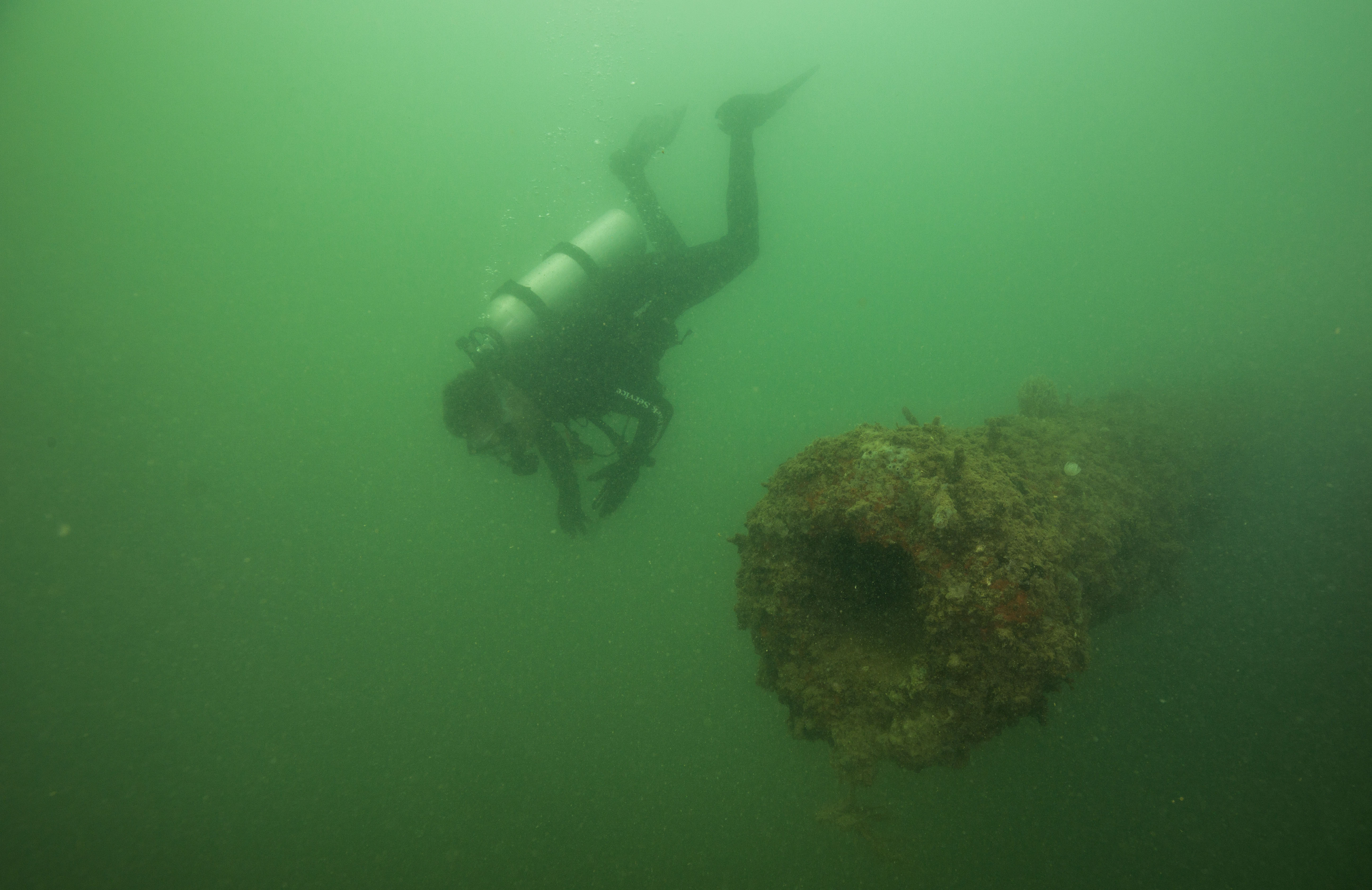
Thankful for the friends I made at DAN! Diving the wreck of the Advance with Tess Helfrich.

Diving safely! 🙂

Share

Keen for KEEN

Alaska never ceases to amaze me and the past few weeks on the Kenai Peninsula have been some of the best yet. The weather has been fantastic with sunny days and minimal wind. The salmon berries around the Kasitsna Bay Lab have been thriving and make for some very happy scientists that can grab a sweet treat with just a few steps. I have even had the chance to explore some of the incredible trails surrounding the laboratory and peppering the coastline of Kachemak Bay. The best part of hiking around Kachemak Bay is gaining a different perspective of the estuarine ecosystem. While the vast majority of the research I have helped with is on or in the water, the mountains and glaciers play a vital role in watershed and estuary dynamics, which connect to the big blue ocean.

The view of Tutka and Jakalof Bays while hiking Grace Ridge, which runs between them.

Happy hikers!

After 10 weeks, I am still in awe with the beauty of Alaska and that I get to be a part of research in such a diverse and productive ecosystem. One of the unique factors of research in Alaska is the high latitude. This makes Alaska a prime candidate for data contribution to studies along latitudinal gradients in order to measure how certain ecosystem functions vary, remain consistent, or are changing with latitude. One of these studies is the Kelp Ecosystem Ecology Network (KEEN) project lead by Jarrett Byrnes of University of Massachusetts, Amherst. At the start of my internship, there was talk of including KEEN in our array of projects this summer. I was especially excited because I was being trusted with going over protocol to make dive plans and creating a species list and guide for Alaska. I was anxious for the day that the good news would come of a window in our busy schedule to complete the KEEN sampling. Lucky for me, this day finally came on July 29th.

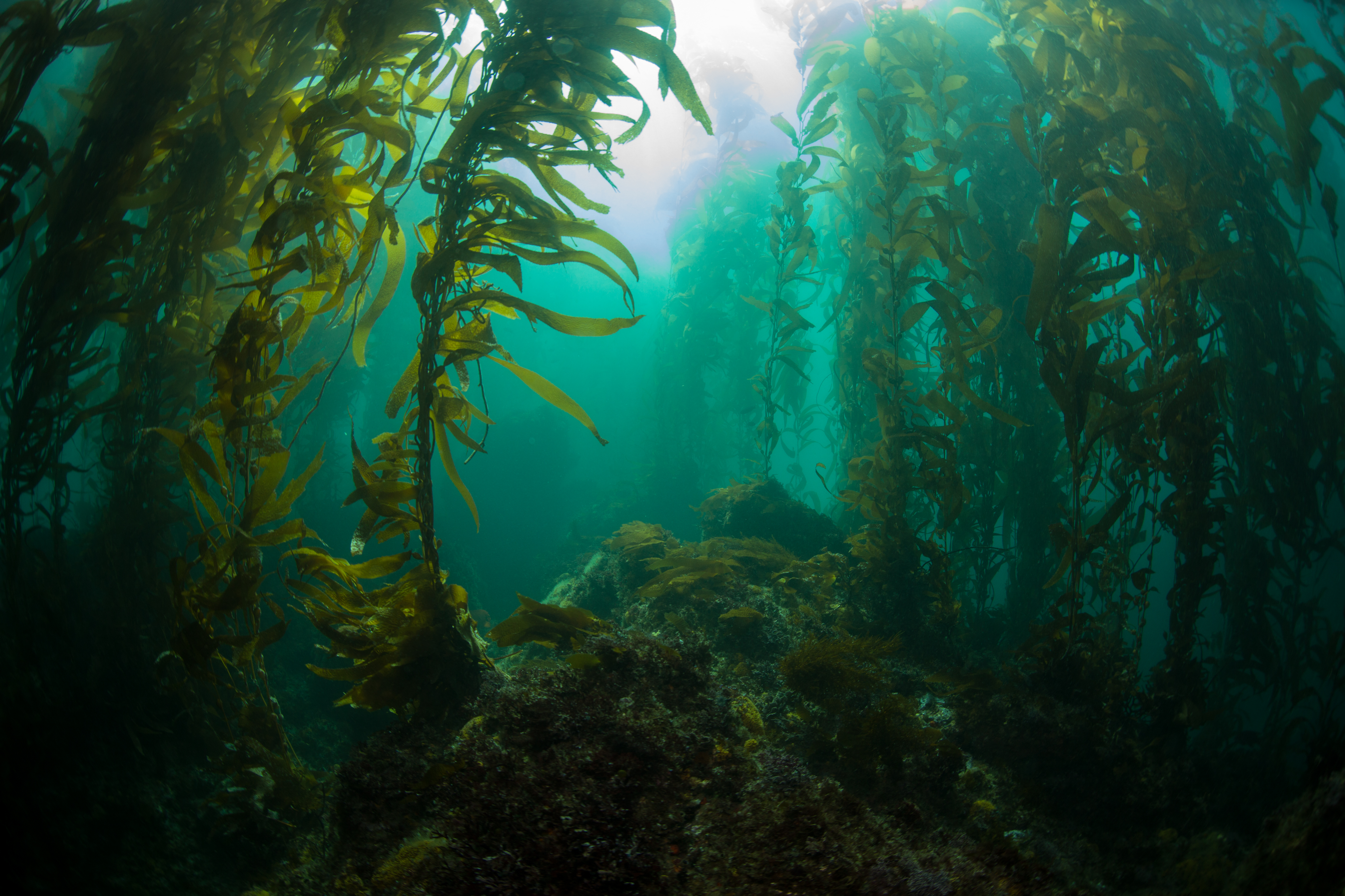
Studying kelp forests along a latitudinal gradient is an important component of assessing the health of kelp forest ecosystems in response to climate change. Kelp play a vital role in forming habitat for invertebrates and shelter for juvenile and adult fish. In order to assess the health of our kelp forests in Kachemak Bay, we conducted our first year of dive surveys to add to the KEEN global dataset. While Brenda Konar and her group consistently monitor kelp forests in Kachemak Bay, KEEN offers a unique approach for holistic sampling of each site and comparison to global kelp forests with an emphasis on public data access and sharing.

The KEEN protocol consists of four transects at each site. On each transect, we performed a fish swath, a target species swath, point counts, and quadrat surveys in order to document the kelp forest community structure and health at different levels of detail. For example, target species swaths are useful for documenting the number of Nereocystis (Bull Kelp) individuals exist along a transect, while quadrats are useful for counting the number of invertebrates in a square meter area. The fish swath diver records the number of each fish species that pass by while swimming the length of the transect, and the point count diver records the species directly under each side of a meter stick laid perpendicular to the transect tape at every meter.

En route to the KEEN site!

Brenda Konar, Katie McCabe, Tibor Dorsaz, and I surveyed Outside Beach, a kelp forest site located just outside of Seldovia Bay, home of the Village of Seldovia. Nereocystis can be seen as a bed on the surface, with fronds buoyed by a round gas-filled bulb. Beneath the surface, Saccharina (Sugar Kelp), mats the bed rock and makes a home for mobile and sessile invertebrates of vast colors and geometries.

Nereocystis studding the surface at Outside Beach KEEN site.

Nereocystis fronds are supported by a gas-filled bulb that floats at the surface. Photo by Brenda Konar.

Saccharina densely covers the bed rock, peppered with Nereocystis stipes. Photo by Brenda Konar.


Each transect takes one dive to complete and each of the four divers took on one component of the protocol. Since there are four transect, I had the chance to help with all four survey types. This was an interesting opportunity to view the same site from a different lens on each dive. Fish swaths are a brief pass of the transect looking above the ground cover for fish swimming by, while a quadrat will have you engulfed in kelp and entering a whole different world of chitons, gastropods, bivalves, echinoderms, and more

A crab finding shelter (and probably food) within kelp blades. Photo by Brenda Konar.

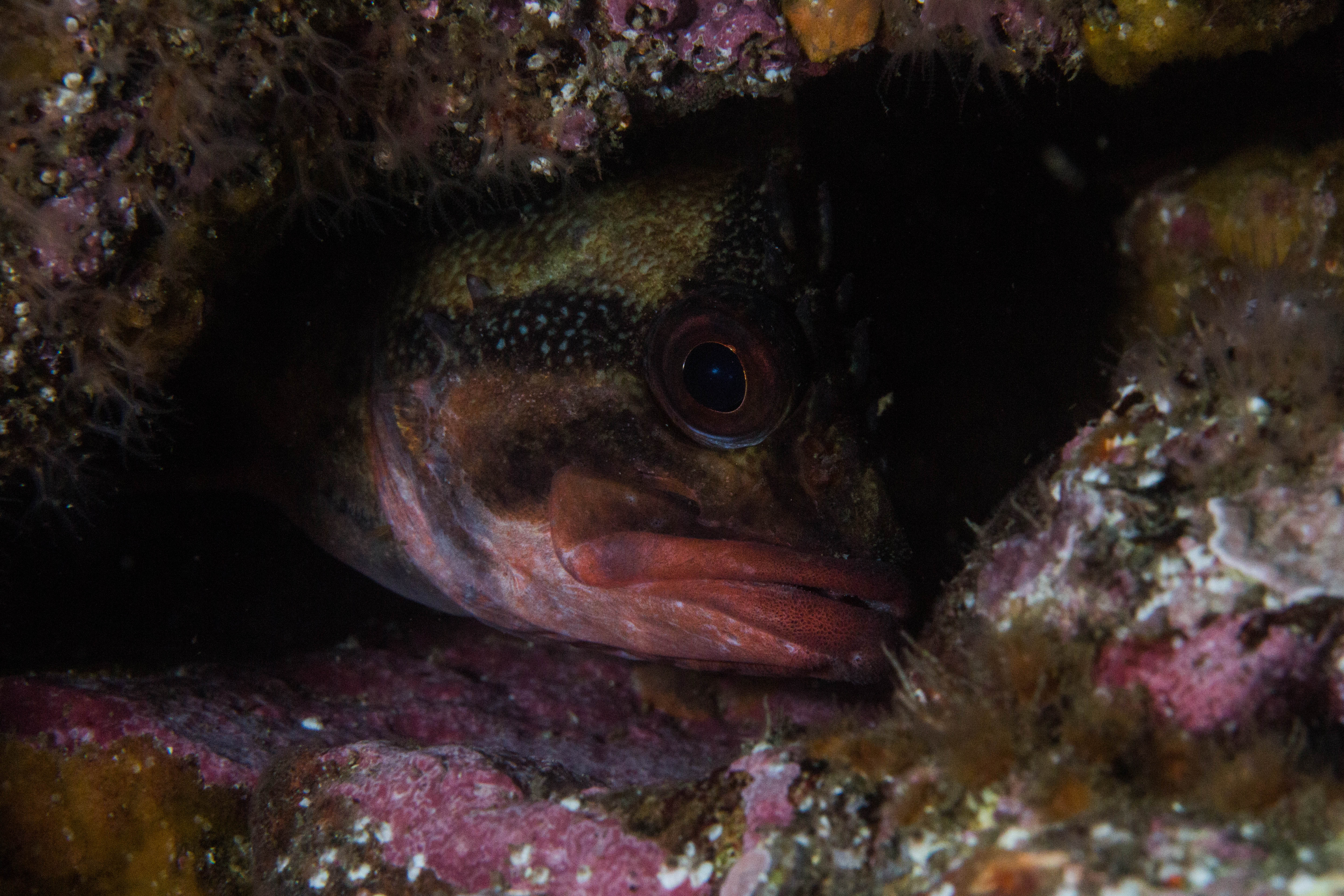
A greenling hiding between rocks and Agarum (Sieve Kelp). Photo by Brenda Konar.


Green Sea Urchin. Photo by Brenda Konar.

Small algal species, like this Opuntiella, are revealed after moving kelp fronds aside during detailed quadrat surveying. Photo by Brenda Konar.


It was equally as exciting as rewarding to dive in this beautiful kelp forest to contribute to the KEEN project. After soaking up the sun between four dives, a lot of underwater paper, and some peanut butter and jelly sandwiches, we successfully completed all four transects at Outside Beach. My next steps moving forward with KEEN are entering the data into the KEEN database. My first week in Alaska, I created a species list and field guide, including the species codes that the data are entered using. This way, anyone interested in viewing or using the data we collected will have an understanding of what codes refer to and what each species looks like through photos and species descriptions. It is a great feeling to be a part of a large, collaborative project. The addition of data from Alaska to this project was very desirable to establish a latitudinal gradient, and I am humbled to have been a part of contributing the first data set. Shortly, our data will be accessible through the KEEN website for viewing and use (www.kelpecosystems.org and Kelp Ecosystem Ecology Network Github). I’m very excited to have been a part of monitoring kelp forest health in order to preserve these incredibly important and beautiful ecosystems that are vulnerable to impacts of climate change. It is a global effort to monitor and manage these effects and projects like KEEN are harnessing the abilities of collaborators and citizen scientists worldwide.

Share

What is a Rhodolith?

By the end of this blog entry, trust me, you will know. From July 15th  to the 25th I had the pleasure of assisting on several different research projects around Catalina Island, California. After packing personal gear, dive gear, an inflatable boat, motor, and research gear from Moss Landing Marine Operations we set off for San Pedro. From San Pedro to Catalina (about a 5-hour drive), we discussed research projects and I grew more and more excited for diving around the island.

Avalon, Catalina Island

A clear day for diving at Avalon!

Diana Steller and Matthew Edwards are co-principal investigators on the main research project titled “Minimizing disturbance impacts by California vessel mooring systems on living rhodolith benthos in Catalina MPAs: an experimental assessment”. The project objectives are: “to identify and experimentally evaluate potential vessel mooring systems that may reduce impacts to rhodolith beds and other sensitive Catalina Island benthic habitats; to identify a suite of efficient field metrics to rigorously monitor integrity and recovery of rhodolith habitats; and to assess productivity and ecosystem functioning of rhodolith beds in order to evaluate restoration potential for recovery of impacted habitat.” (Steller & Edwards, SeaGrant). This involves many hours of scientific diving, lab work, and a few boxes of Oreos for energy.

A round rhodolith!

Scottie loves his greens!

Right on the day we arrived at Two Harbors (Big Fishermen’s Cove), I dove with the Survey Team at Emerald Bay. The Survey Team consisted of Diana Steller (Research Faculty/DSO of MLML and my internship host), Scott Gabara (Ph.D. candidate at San Diego State University and former MLML student), June Shrestha (MLML graduate student), and myself. Throughout the trip, we went to 6 different study sites and conducted benthic surveys inside and outside rhodolith beds.

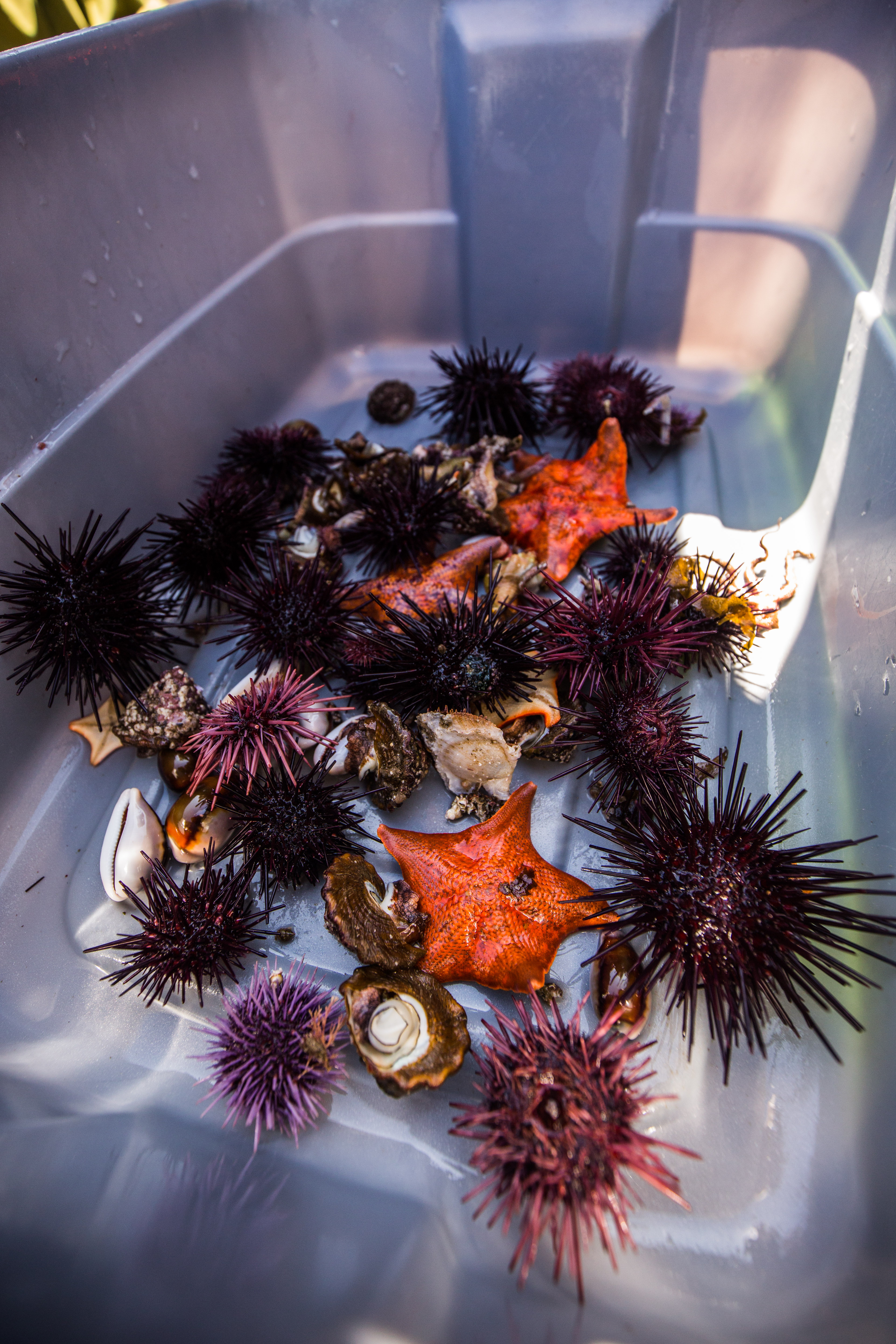
Each of us had a different task and would attempt to complete them on dives that were a little over an hour long each. June conducted fish surveys and Scott would lay out the transect, identify the benthic substrate, count and identify the associated organisms on top of the rhodoliths within a 20 m transect. Diana and I would work with Scott on the same transect and use a 25 cm x 25 cm quadrat for substrate percent cover and we dug for organisms like snails, sea stars, urchins, and other small creatures. We also obtained sediment cores to collect live and dead rhodoliths to do size frequencies (where we took abundance in each size class and measured the volume).

Getting a rhodolith core isn’t as easy (or clean) as you think…

Scottie surveying the rhodolith bed using a quadrat.


Me holding a lovely rhodolith core.

A clean and clear core.


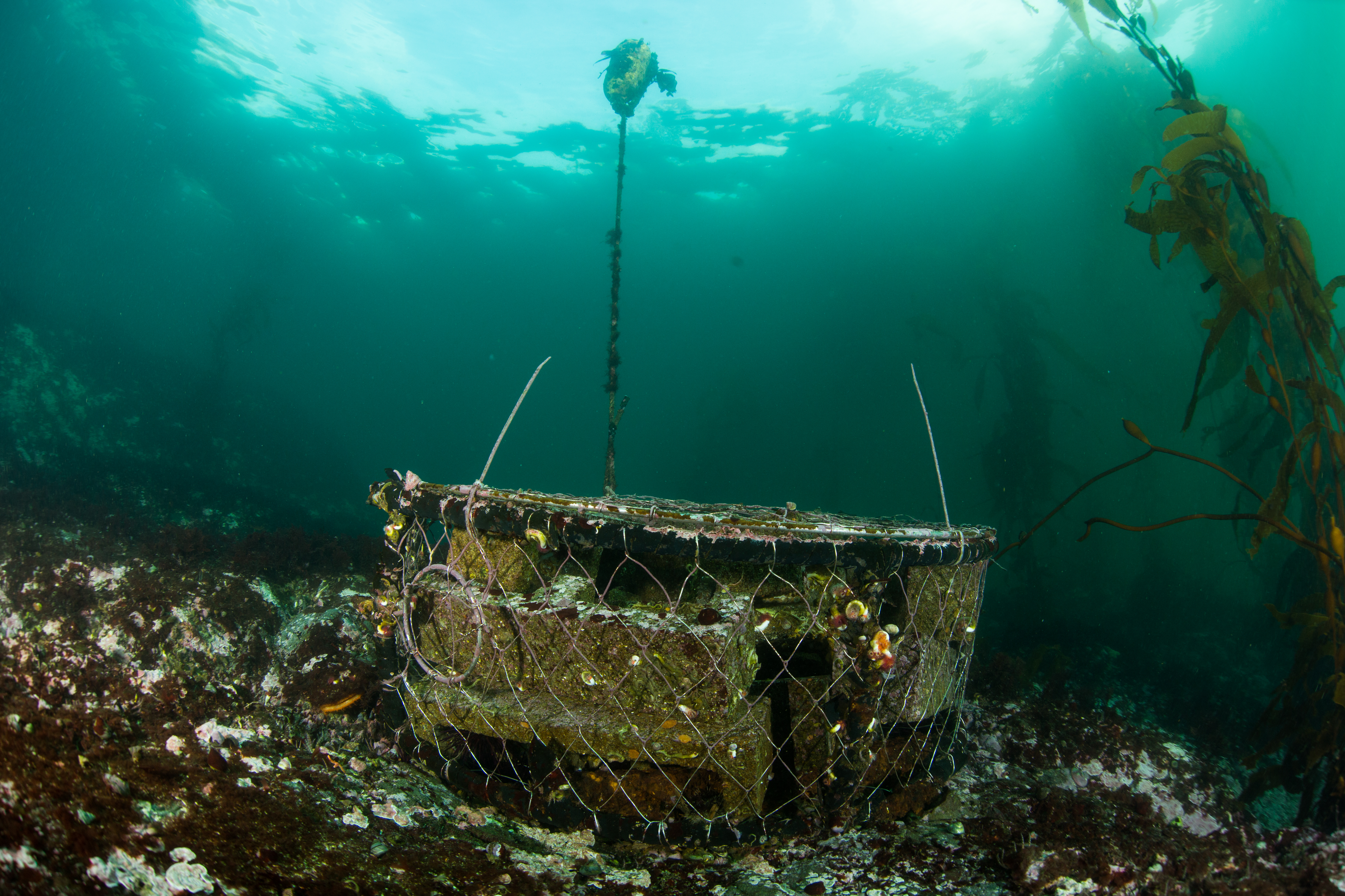
Another section of the Rhodolith project involved deploying underwater chambers. There were 10 chambers in total, some located within rhodolith beds and some on top of crushed rhodolith/sand habitat. Inside the chambers were sensors that took measurements of water quality. During chamber surveys, benthic details and cores are taken as well. An additional part of the chamber experiment involved crushing of the rhodoliths with chains to mimic the crushing action of mooring chains. A Tupperware, rigid cylinder, and a spoon were used to collect live rhodoliths in order to bring them back to the lab to find size-frequency for each within and outside rhodolith bed samples.

Some brittle stars wanted to say hello! (Look close and you can see their arms)

Now on to the important part: what is a rhodolith? How does it form a bed? Most people don’t know what rhodoliths are. One day, a local boater on Catalina asked us what we were diving for and we responded “we’re observing rhodolith beds” and he replied that there isn’t much to see there within the bays. But truthfully, a rhodolith bed is a whole new world. If you look up a rhodolith on Wikipedia, you’ll read that rhodoliths are “ colorful, unattached, branching, crustose, benthic marine red algae that resemble coral. Rhodolith beds create biogenic habitat for diverse benthic communities.” This is definitely true plus they deposit calcium carbonate within their cell walls so they form small hard structure just like hard corals do. However, rhodoliths are unlike coral since they don’t attach themselves to any rocky substrate or seabed. That’s why they’re often called tumbleweeds because they roll around the sand and have thin branches. Rhodoliths are autotrophic and produce energy through photosynthesis so they only survive in the photic zone where it’s shallow and light can reach the little rhodoliths.

It wouldn’t be an interesting field season with just one project going on. An interesting project that was unrelated to rhodoliths was Taylor Eddy’s project on spatial variation in spiny lobster foraging preferences. Taylor is studying how spiny lobsters interact with the intertidal habitat and the seasonal variability of these interactions. Specifically, she is looking at how different food resources available in this habitat affects their reproduction and demography (size, sex, and abundance). To do this, she collects lobsters at high tide in the intertidal and subtotal, records the size, sex, and reproductive status of each lobster, and then removes a leg (don’t worry, they grow back!) to get a muscle sample for a diet study. Taylor is a CSUMB and MLML student working on her Master’s thesis and has conducted research on Catalina numerous times. We had to collect lobsters on three transects at night from two sites (Big Fishermen’s Cove and Birdrock). The first collection night, my role was the “runner”. I shined a red light on one end of the transect while two divers (Riley Young of CSUMB and Dillon Dolinar of SDSU) collected as many lobsters as they could with their hands. We could use only red lights because lobsters don’t see the color red which was a new fact to me. Once they collected lobsters, I brought them to the boat where Taylor got her measurements.

Snails love rhodoliths!

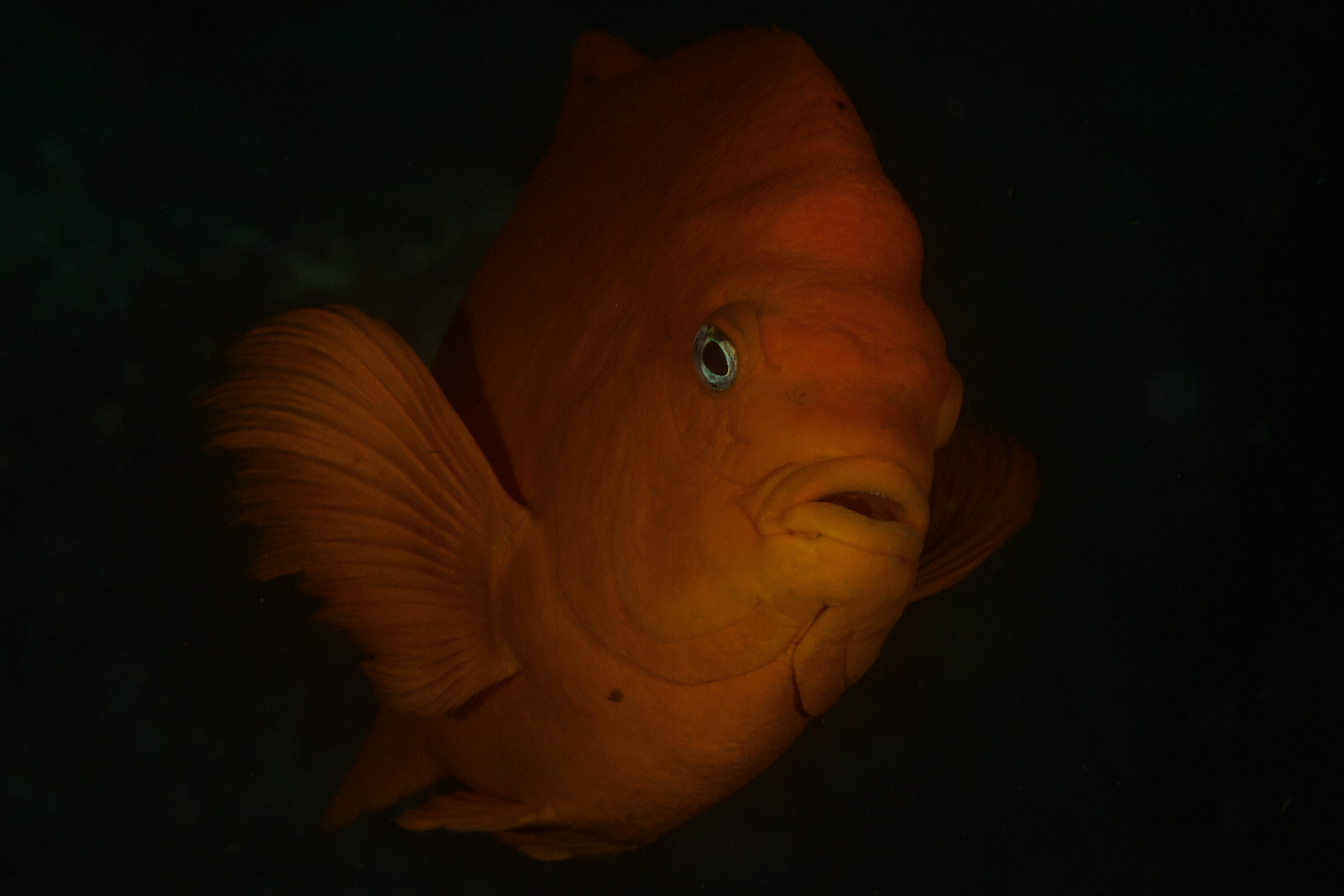
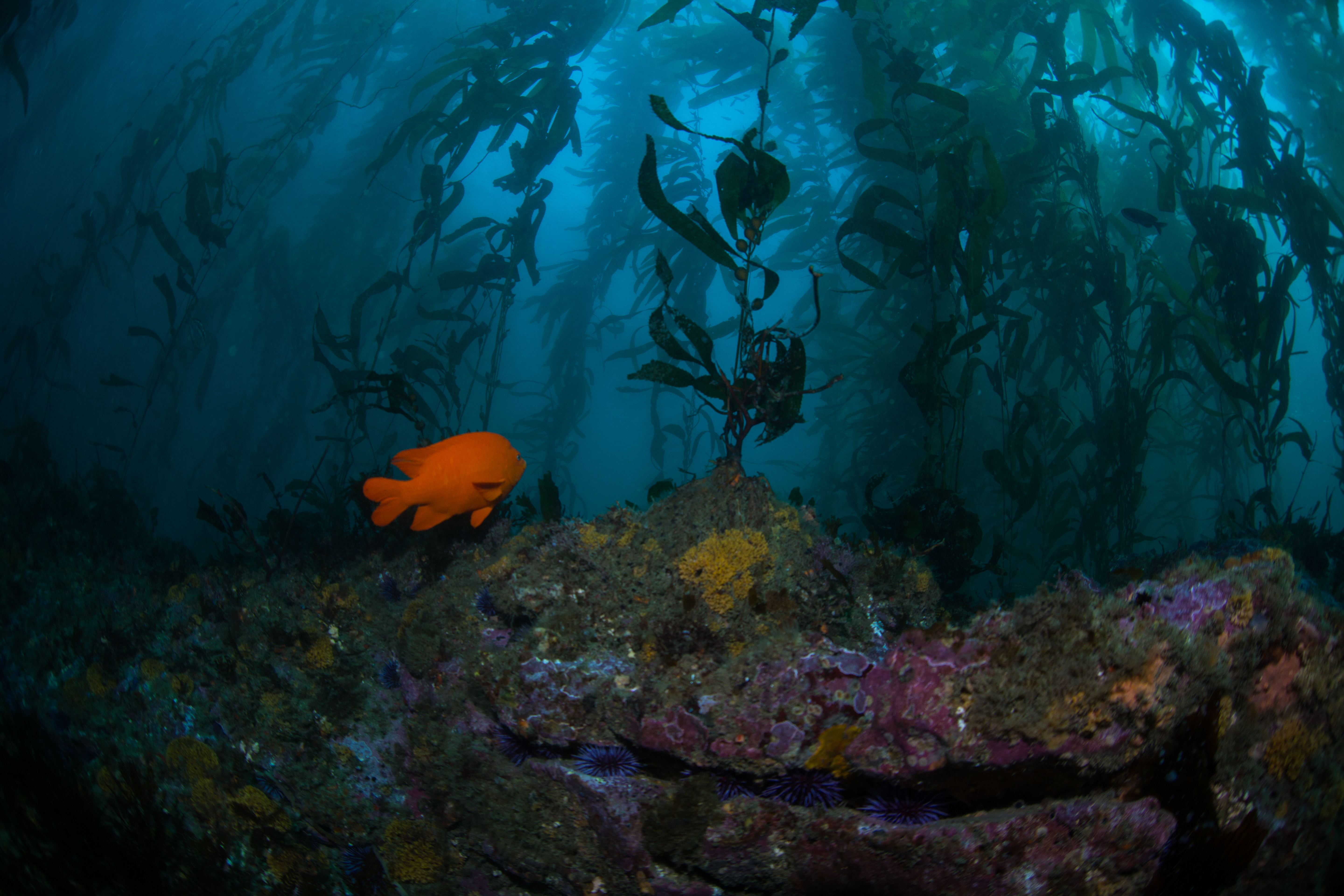
A Garibaldi wanted to say hello during our research dive! First time I saw one.


There were two main tasks that had to be done in the lab: size frequency and core live/dead processing. To do a size-frequency, we 1) separate live rhodoliths into three different size classes 2) count the number of rhodoliths in each size class 3) measure the volume of each size class along with the dry mass of the rhodoliths once they’re entirely dry. We did the same thing with the sediment cores without separating them by size, just by live and dead ones.

Dillon Dolinar (SDSU) happily removing water from a collected core.


Samples in their Petri dishes

Darrin Ambat (SDSU) sorting live and dead rhodoliths collected from a core.

Upclose with size-frequency rhodoliths

Dillon and Ehrick placing snails that were tagged at Isthmus Cove.

Charnelle happily sorting live and dead rhodolith from a core.

Freshly tagged snails.

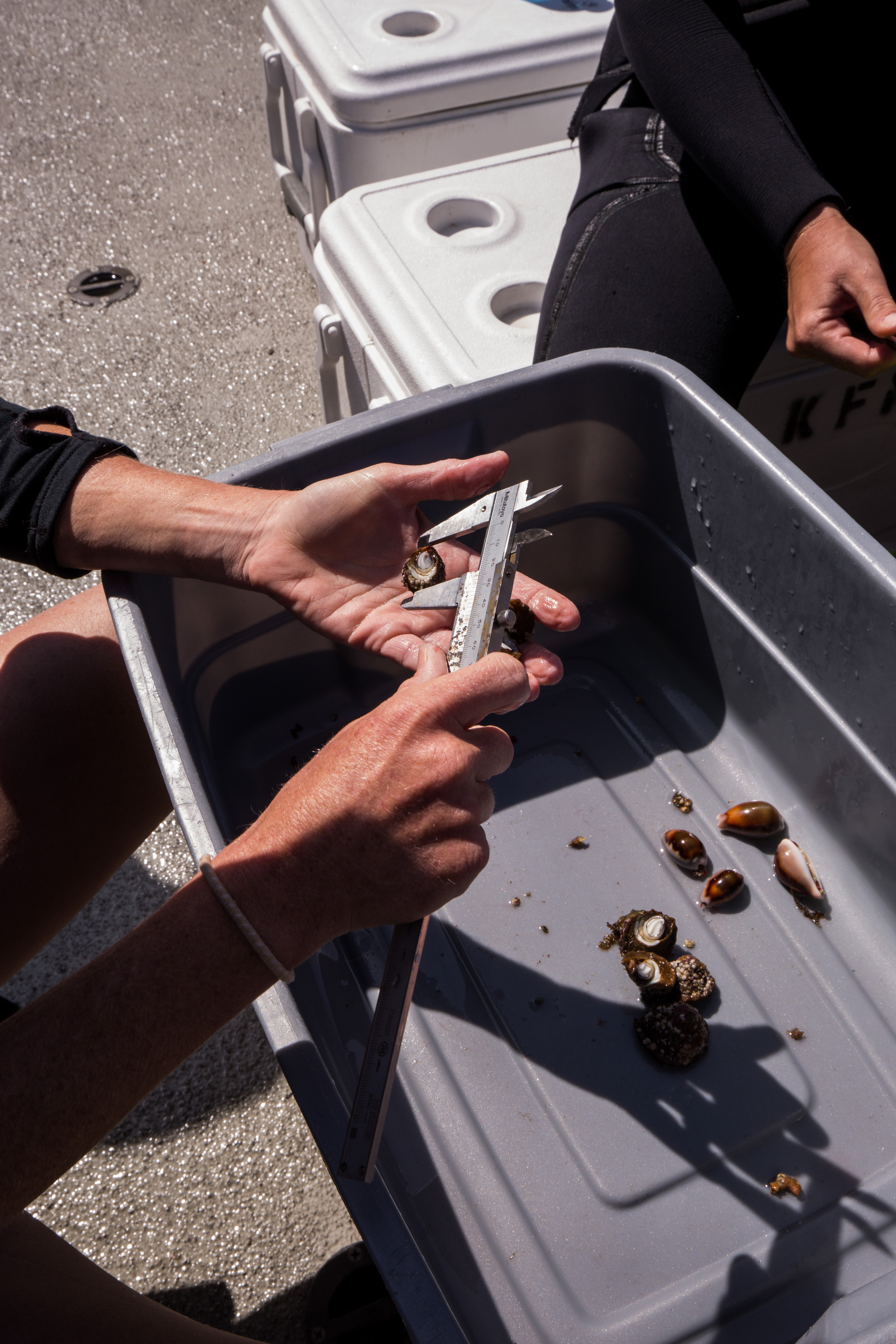
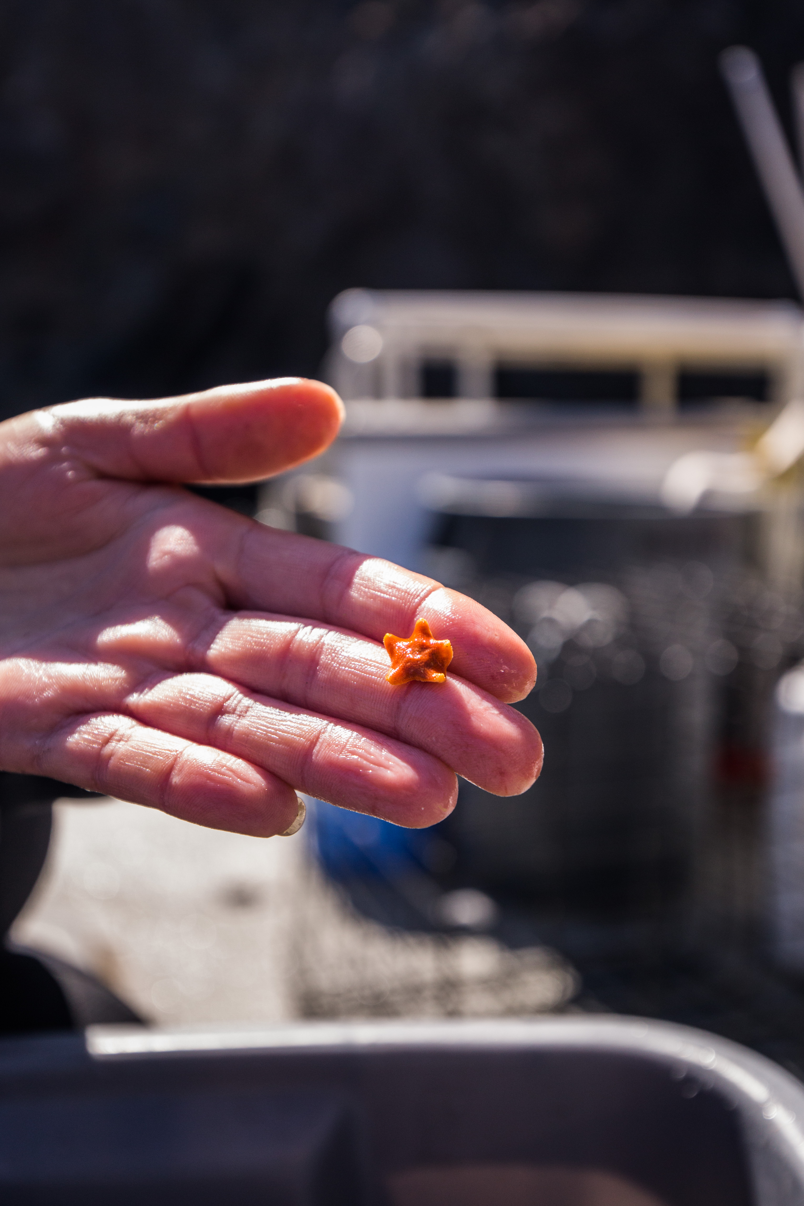
Charnelle Wickliff, a student of California State University Monterey Bay and Moss Landing, has a project with the goal of measuring snail growth and movement between rhodolith beds, rocky reef, and kelp forest. This involved collecting Megastraea sp. from the rhodolith beds, measuring the width, and tagging them with a number using super glue (without gluing your fingers together). The snails were returned to the beds with markers. Charnelle will return to those markers and resample the area to find the snails and reevaluate their growth and movement between habitats.

Fun finds on a dive at Avalon! Plus a snail wanted a picture of itself!

Me measuring the width of one of our lovely snails.

Cat Harbor during an evening hike.

I will definitely miss the fun times, diving, and sunsets at Catalina! Stay tuned for my next blog post on the next chapter of my internship: AAUS Scientific Diving Course!


Share

“Almost Heaven”—not John Denver’s idea of West Virginia

What does John Denver have to do with scuba diving? Nothing, really. Yet somehow, I ended up singing four hours of “Take Me Home, Country Roads” in the car as I made the trip from Durham, North Carolina, to Beckley, West Virginia, last week.

This was in part because I was curious about the Blue Ridge Mountains John sings about, but mostly because I was on my way to the 24th World Scout Jamboree. I wonder if John still would have considered it “Almost Heaven, West Virginia” if he made it to Summit Bechtel Reserve where the 44,000 scouts gathered for two weeks.

This is an international event that draws scouts from all over the world, and this year, more than 165 countries were represented. The main goal of the experience is to bring young people together to promote peace and the development of life skills and leadership.

The reserve covers over 10,000 acres of wilderness and has some of the largest outdoor-activity facilities in the country, including zip lines, climbing walls, and lakes. Additionally, there were multiple large, four-foot-deep inflatable pools in the center of all the booths at the Jamboree. The pools were outfitted with tons of BCDs, regulators, masks, scuba cylinders and an onsite compressor so the scouts could try scuba diving for the first time with a divemaster. I even had the chance to take a dive! (Can I log that?)

Large inflatable pools for scuba diving. Picture by Rhett Hendrickson. The DAN booth is located to the right in white tents. Campsite can be seen below the scuba center in the upper right corner.

Since the scuba diving experience is one of the largest events at the scout Jamboree, DAN sends staff members there every year to promote dive safety and coach scouts in CPR. The Jamboree is two weeks long; I attended the first week of the event accompanied by Jim Gunderson, Reilly Fogarty, and 4 CPR manikins to run our “CPR challenge” activity. Reilly, DAN research intern Andrea, and her husband, James ran the second week.

The goal of attending the Jamboree each year is to empower scouts to seek training and gain skills that can save lives in or out of the water. While we were not providing anyone with a full CPR class or official trianing, we did demonstrate 30 chest compressions and 2 rescue breaths. After the demos, we let the scouts have a try on the manikins for two minutes while we coached their technique.

Demonstrating 30 chest compressions with two rescue breaths to a group from Chile.

Coaching students as they practiced two minutes of CPR with a group from the United States.


It was interesting to see how many people were new to CPR versus those who already had training. I learned that many European countries teach CPR in school! We observed a wide range of skill levels, but everyone was enthusiastic about learning and improving.

Most scouts that attended our booth on the first day were English speakers, but we did meet one group from Argentina. I asked where they were from and if they were familiar with CPR. A girl in the front admitted that they did not know English and started to walk out of the tent. On the fly, I dug way back into my brain to recover something from the four years of Spanish classes I took in high school (with a wonderful teacher I might add), but it had been three years since I last spoke it. I did not want the scouts to walk out of our tent because they did not understand English, so I told them, “Uno momento! Yo hablo Español, pero no es muy bueno.” They laughed and agreed to come into the tent for a lesson.

It took a minute for my brain to switch into Spanish mode, but once it did, I was able to demonstrate CPR in Spanish to the group. Speaking Spanish may not be a skill I would put on a resume, but I was very surprised at my ability to successfully communicate with the group. That night, I went back to my hotel and studied up a few key words I didn’t know, like “compressions” (apparently, it’s just “compresiones”!), so I could be better prepared to speak with future groups.

DAN patches and coins awarded to scouts who came through our tent and successfully completed 2 minutes of quality CPR.

Over the next few days at the Jamboree, I believe I spoke in more Spanish than I did English! Scouts were very patient with my efforts and they enjoyed teaching me new words. It was a humbling experience to ask scouts, “¿Inglés o Español?” and see the relief and excitement on their face knowing someone could cater to their own language. This allowed us to open our tent to a much broader audience, as I was able to coach scouts from Colombia, Peru, Chile, Spain, Argentina, and Mexico.

A new friend from Peru! I was very grateful for his patience with my Spanish speaking, and he really appreciated the introduction to CPR and one-on-one time I gave to coach him. We exchanged gifts, I gave him a DAN patch and coin and he gave me a bracelet from Peru!

A fun group from Chile! They were excited to be taught in Spanish.

My new friend from Taiwan.


I had the pleasure of meeting many other people from all over the world at this event, including a young boy from Taiwan. He was so eager to learn and worked really hard to have a conversation in English while we waited for the rest of his troop to arrive. He had never seen a CPR manikin before, but after a bit of coaching, he was able to perform wonderful compressions. We also exchanged gifts, I gave him a DAN patch and coin and he gave me a scout logo that he had 3D printed!

Over the week that I was there, we had more than 1,200 scouts come through our booth. I am very thankful for this opportunity to share life-saving first aid with these intelligent youths. I hope that they continue their first aid education and seek official training, but for those who may not have this option in their home countries, the challenge gave them a great introduction to the process. While I hope no one has to experience a situation that warrants CPR, it is comforting to know these kids have a new tool in the box to help others.

As if the diving in the four-foot pool was not exciting enough, I also decided to attend a boat dive this weekend when I returned to North Carolina. This photo was taken on the wreck of The Hyde off the coast of Wrightsville Beach in Wilmington, NC—it was great to see a few adult sand tiger sharks! Thanks to Aquatic Safaris for the trip.


Share

Under the Sea – REEF [3]

A hulking mass loomed in the deep blue water, far away but not enough to escape the limited visibility. I only noticed it because the instructor, Jason, had motioned excitedly to our group, pointing off in the distance a couple moments before. It generally takes a lot for the instructors at Key Dives to get that excited underwater, so I figured it had to be something great. Sure enough, I soon realized that I was looking at none other than a pair of Goliath Groupers. One would be forgiven for mistaking these colossal fish for submarines cruising through the deep tropical waters. Words cannot describe how small I felt for a moment, witnessing these groupers go about their day around me, inching closer as we hovered transfixed. I had long known about this species but never really understood how awesome it would be to see them in person. While they are not the longest fish I have seen, their sheer weight and size is what makes them mind-boggling. I did not snap any photos because I was taking on a supervisory role that dive (to say nothing of how I forgot my GoPro on the boat), but I will savor the memory forever. All the more exciting was that this sighting occurred while diving the wreck of the Eagle. A Dutch ship built in 1962 that went on to change hands between owners in Israel and the Cayman Islands, it was struck by an electrical fire in 1985 and purchased by Monroe County in the Keys (read more here). Like several wrecks in the Keys, the Eagle was intentionally sunk to transform it into an artificial reef. These reef-wrecks are a huge draw for tourism, and part of the reason I am able to find such fantastic diving in the Florida Keys. We saw these particular goliath groupers after falling, scuba-style, through a huge hole in the side of the Eagle. Since the Eagle rests on its side, this meant positioning carefully over the hole, exhaling, and letting gravity do the work as we descended straight through the wreck, bottoming out near 100 feet deep over the sand.

View from the bow of the Giant Stride, Key Dives’ vessel

I found myself on that unbelievable dive of the Eagle while completing my deep dive scenario for divemaster training. I have not touched all that much on the pure diving aspect of my summer so far in these blogs, and here I wanted to highlight that. For the record, I do not have any photos from my divemaster training since often I am supervising other divers and need to keep my focus on them. For that reason, I have peppered photos from various other dives this past month throughout the post to give an idea of what I have seen in the water! Anyway, for the first several weeks at REEF, all of my diving consisted of fish surveys, from boats run by several different dive shops throughout Key Largo. I wanted to start off slow, because prior to arrival, my only dives since Bonaire (Fall 2017) had been a couple quarry dives in Kentucky last year. While I arrived as a certified Rescue diver and was a very confident diver leaving Bonaire, it had been a long time and I knew I was taking on a big commitment by aiming to complete my divemaster as a REEF intern. I wanted to respect my upcoming training as the considerable challenge I knew it would be, and so I first spent some time in the water getting my “sea legs” back. Being able to brush up on my tropical fish identification while doing so was all the better. By the time I finally arrived at Key Dives (a dive shop in Islamorada, south of Key Largo) in late June to start my training, I felt ready. I knew that this summer I would need to become a much improved diver and educator within a very short amount of time, and I wanted to hit the ground running.

Shortfin pipefish (Cosmocampus elucens), shot while doing a REEF fish survey on Blue Heron Bridge (BHB), West Palm Beach

The four weeks since starting that adventure have made this the summer of a lifetime. My training started out simple with a lot of pool work, mostly knocking out water skills as well as my scuba skills circuit. I have been doing my training alongside another man named Kent, who has been nothing but helpful and supportive as we progressed along. My first experience with the skill circuit was in a nice heated pool at Mike’s house, the owner of Key Dives. I realized then how tightknit the staff at the shop was, both by how willing Mike was to open up his house for me and Kent, but also the fact that Cortney, one of the instructors, offered to come over after hours to help us. I won’t lie: I totally failed that first circuit, but I came out of the pool happy as could be. I knew before even starting that I was not going to have all of my skills down because it had been a while since doing some of them, and to pass the circuit you have to successfully demonstrate all 24 skills relevant to teaching new divers. That said, I only failed a handful of skills, so I knew exactly what to work on going forward. Within a week or so, I had finished the circuit to demonstration quality!

Diving with the other interns at BHB

With the circuit complete, I was now entrusted to demonstrate skills to divers training to get their Open Water certification. And so a few weekends ago, I worked with a father and his young son to get the son certified, and I was able to see him nearly all the way through his open water course, from pool work to checkout dives in a local marina. It was incredibly fulfilling to see the light turn on for the student as he grasped the concept of letting go and breathing through a regulator, and seeing what it was like to glide underwater in the way only scuba diving allows. These checkout dives were in a pretty unique spot too – since seas were rough that day, we dove in Jules’ Undersea Lodge. Jules’ is a local attraction nestled in a marina far from any wave action, and is in fact the only underwater hotel in the United States. Tenants stay the night by diving down about 25 feet and are greeted by a transfixing display of schooling fish attracted by the shelter of the mangroves. At the bottom is a fully furnished hotel room, complete with food and drink brought down to you. While we didn’t get to stay the night ourselves, being able to take our time and see the benthic community was a great time, for both the student and myself.

The only undersea hotel in the United States!

The visibility at Jules’ was less than stellar however, which reminded of my own open water checkout dives done in the summer of 2017 in Falling Rock Park, a quarry in Kentucky. There is something special about learning to dive in such an environment because any stray movements can kick up silt that obscures visibility, from hours to entire days. Being forced to treat the benthic environment with care is a huge benefit for those so new to diving, something that, for me at least, carried over into my dives I would end up doing in warmer waters. Diving here in the tropics is generally very easy – the water is clear and warm, and visibility only gets low when there is a rare strong current, or if you are diving deep areas like wrecks. But carrying over that level of care for the substrate below is just as important here – you never know if your next fin kick could stunt years of growth on a head of coral!

Bridge foundation at BHB. The benthic communities found here are similar to the communities found in the Jules’ Undersea Lodge marina (sponges, hydroids, cnidaria, bivalves)

Back to divemaster, though: after successfully assisting with the training of the open water student, it was time to lead a few dives myself. I previously co-led scientific research dives in Bonaire, but that was on a dive site I knew by heart, and with an experienced buddy that I was very familiar with. Last Friday on the boat with Key Dives, I was tasked with leading a group of three that I had never met and had varying levels of dive experience, out on a site that I had never dived before. The dive briefing itself went very well, however I knew the biggest challenge would simply be navigating an unfamiliar site. After getting dropped at a site with a ripping current and no reef in sight, captain Kenny re-positioned the boat nearby. This time went as smoothly as I could have hoped – I looped in and out of a beautiful patch of spur and groove reef, always aware of where the boat was above me. It was a liberating feeling, knowing that I could do this, and it was gratifying to see the group I was leading having a blast and filming video of sharks and turtles around us.

Yellow stingray (Urobatis jamaicensis) eyeing the camera. Photo by Michael Langhans

Flying gurnard (Dactylopterus volitans) – I was very excited to see one of these fish at BHB!

With a large chunk of my divemaster training behind me now, I have been able to take a breather for a bit and hop in the water for some fun dives. I was very happy to carve out time to dive with Michael, the current OWUSS NPS intern, on Blue Heron Bridge (BHB) in West Palm Beach. Thus, we have continued the time-honored tradition of the NPS and REEF interns meeting up over the summer! Michael has been staying near Biscayne National Park for the better part of July, and we were able to make our schedules match. Over the course of two weekends, Michael, myself, and all the other interns/lead interns at REEF dove BHB together. BHB is regarded as some of the best shore diving in the world, and I must say it was my favorite experience diving so far. I gained an intense appreciation for just how impactful macro photography can be, watching Stacey and Michael spend 30 minutes at a time photographing a pair of frogfish. While I am currently only equipped with an older GoPro, I used that time to really search for the smaller things in the substrate, and was completely blown away by the sheer diversity of life found at BHB. One moment I was watching a frogfish waddle along the sand, and another I was catching a fleeting glimpse of an uncommon blenny species as it darted into an old car rim.

Striated frogfish (Antennarius striatus). Masters of camouflage, we happened to catch this one out in the open! Photo by Stacey Henderson

Banded jawfish, Opistognathus macrognathus. Jawfish are often very cautious of divers and will duck into their holes when threatened. Photo by Michael Langhans

Our BHB dives ended up both being almost two hours long, since the site is so shallow and air lasts for a long time at ten feet. Given the time to relax and study one spot for hours, I would say that was the most content I have ever been on a dive. When Michael and Stacey shared their photos with everyone above-water, I felt as if I had missed an entire level of detail present at the site. Crisp underwater macrophotography tells a story unlike any other: the subtle markings on certain fish become apparent, the shape of the eyes suddenly becomes entrancing, the coloration of the skin gains depth. The dedication that Michael brings to the NPS internship through his photography is hard to miss, and it was in fact part of what inspired me to recently purchase an underwater camera myself! I have featured photos by him and Stacey from Blue Heron Bridge throughout this post, to provide an idea of what I have been seeing the past few weeks.

I finally got the chance to dive with Michael, the OWUSS NPS intern! Keeping the tradition alive. Photo by Stacey Henderson

With some fun dives out of the way, I will be finishing up my divemaster here over the next few weeks, but not before a second round of Ocean Explorer’s summer camp! I am very excited to oversee another group of campers as they learn about the underwater world of the Florida Keys. Since my time at REEF is coming to a close soon, I am also finishing up a few long-term projects related to REEF’s Volunteer Fish Survey Project. Stay tuned to hear more on that front!

Share

The Data Dash – National Coral Reef Monitoring Program on St. Croix


“300 feet!” Bouncing off the crest of a three-foot wave, our 20 ft vessel peaked and then slapped the water causing a mist of sea spray to envelop the deck. The sea was alive, but under the bright sun it still retained a serene Caribbean blue. “200 feet!” I looked across the deck at my fellow divers perched along the gunnel. Laden with slates, meter sticks, and tapes and bouncing along with the boat, the five of us looked (and felt) ready to go. “100 feet!” The cries came from Kevin, our captain, who was navigating to our GPS point. He glanced back continuously between the oncoming sets, checking on the readiness of the team and making sure no one had fallen in prematurely. “50!” As the countdown dropped, a silence fell over the back of the boat as the team waited for the final call. This had to be a precise drop, as we were aiming for a specific GPS point in an area with currents that could take you far off target with each second spent on the surface. I settled in, secured my gear, and made sure everything was ready to go. “Go!!” came the call, and in went the divers. After a brief surface check, the team went straight down and began the next mad rush of the hour – the data collection.


My time in St. Croix was a wild, hectic dash – but it had to be. I was here in the Virgin Islands to take part in the National Coral Reef Monitoring Program (NCRMP). This program, started as a collaboration with the NOAA Coral Reef Conservation Program and a large assortment of governmental/academic partners, monitors most of the coral reefs located in US waters. This amounts to a lot of surveying, covering reefs in the Pacific (Guam, American Samoa, Hawaii) to the Caribbean (Florida, Puerto Rico, US Virgin Islands). This is a colossal effort, requiring hundreds of people around the country to spend thousands of hours above and below the water. As well as frequent monitoring to collect a myriad of data on these reefs, this program also aims to standardize the methods of data collection as well as to collect data on a wide enough geographic spread to put sites into the context of the landscape – see how change at one site relates to that of their neighbors, or their distant relative. All that being said, we had a lot of work to do – with a goal of hitting 250 sites in two weeks, there was no time to waste.

As such a large program, it required lots of divers. This trip was composed primarily of four organizations: NOAA/NMFS, the NPS, University of Virgin Islands, and the Nature Conservancy. As such a large group the entire team rarely got together in one place, with the exception of an organizational meeting monday morning. This was held at a NPS building at the Christiansted National Historic Site, an old Dutch colonial settlement built on the island, in a repurposed warehouse originally built in 1749. Here I was able to meet the many members of the St. Croix NCRMP team.

After the meeting, each organization was split up into 6 different vessels and sent to different ends of the island, each with a different section of coastline to survey. Within those areas, each team was given GPS coordinates for new sites daily. These sites were randomly generated to obtain unbiased data and were stratified by depth and habitat type to encompass a diversity of environments.

A wide variety of depths were sampled, including ones that could have been snorkeled

While there was lots of data to be taken, I was starting the week off taking photos, working to document the survey methods. I was also doing a bit of shadowing, to learn the species of these clear Caribbean waters. This was a new area to me – I’d never dove in the Caribbean (or the Atlantic for that matter) and hadn’t done any tropical diving in four years. That fact alone made this trip quite the novelty – I learned to dive and got my first few certifications in warm water, but then jumped over to cold water while in college and hadn’t come back to the warm side since – so diving in a 3mm wetsuit with no added weight was a forgotten luxury. The 80-degree water was pretty nice too. I’d spent the last couple weeks in water averaging 38 degrees and the past couple years diving in the mid 50-degree Californian waters, making the tropical water was a welcome relief. This was also some of the nicest visibility I’d seen in a while. Overall, I was heavily enjoying my re-introduction to warm water diving.

While shadowing and photographing my team, I learned the down-low of the survey methods. I’d read about them in the mission protocol document, but nothing compares to seeing them in action. This program collects data on corals, fish and benthic cover, with the primary objective of determining the health of the reef. Each survey team was comprised of four divers: a coral demographic diver, line-point intercept diver, and two fish divers. Coral and fish divers surveyed coral and fish respectively (big surprise), collecting data on species, size, and abundance to determine health and diversity. Line-point intersect (which is the role that I was going to assume after my shadowing and photographic obligations ended) was responsible for collecting percentage cover information with species, substrate, and relief data that was collected under predetermined points on the meter tape. This data is used to get an idea of the overall character and species composition of the reef.

The team hard at work

Through my shadowing I got a close look at seasoned surveyors doing their thing in the water and was able to observe them at work. My team consisted of mainly NOAA folks: Kim Edwards, Laughlin Siceloff, Erin Cain, Michael Nemeth, as well as a diver from the Nature Conservancy, Allison Watts. Allison, as I discovered on one of my first days on the boat, is also part of the Our World Underwater family – she was the 2012 Monterey Bay Aquarium Dive Safety intern! Small world! Everyone apart from Allison and myself had had lots of experience with these protocols and species, so they were excellent resources for me to run all my questions by.

Each day was action-packed with diving: we’d start off by boating out towards our first assigned site of the day, do a quick drop, descend on our site, collect the data, and head back up for another one. Each team was given five sites to handle a day, which was relatively achievable given the survey protocol. Dives averaged between 30-45 minutes, so this ended up being only around 3 hours in water a day. And with this type of repetitive, back-to-back diving, time really flies. Each day went by in no time at all, with the only real surface interval we needed being the transit between sites (thanks nitrox). That time was occupied as well, as the team switched tanks and data sheets, as well as the obligatory disinfecting of survey gear. One of the big things that this program is looking for is coral disease, which is hypothesized to potentially be able to spread via divers. This resulted in a thorough gear disinfectant protocol, with everything requiring a sterilizing soak between dives and at the end of the day.

Surface intervals are busy too, full of tank switching, data transcribing, and gear disinfecting

After spending the first couple days photographing the team at work and the sites, I moved on to data collection. At first, I was just collecting mock data, allowing me to get hands-on experience and later compare my work to others to see how I did. With such a rigorous dive schedule, I got plenty of practice. While I was initially scheduled to continue doing these mock surveys for a while longer, an unexpected turn of events left us a team member down and I was thrown into the mix – it was time to prove myself. Thankfully, my practice had paid off (and the sites weren’t incredibly diverse, allowing me for an easy intro to the line point intersects) and I was able to complete all my work and not hold the team up for too long.

As someone who’d never dove these waters and hadn’t been on coral reefs in years, I thought the marine life was pretty incredible. The sea floor on most sites was covered in gorgonians and basket sponges, with assorted fish traveling through them. I saw lots of nurse sharks, garden eels, big rays, barracudas, octopuses. On one memorable dive we descended through a layer of gelatinous zooplankton so thick that you couldn’t see through them – it looked as though you were dropping into a bottomless ocean until you’d cleared the cloud of ctenophores, cydippids, and salps. While not every site was beautiful (randomly selected survey points works like that sometimes), that made the nice ones even more special. We ended up on some nice patch reefs, ones with enough coral to put the team to work. We also had the pleasure of diving with a curious group of dolphins on one of our surveys – which, let me tell you, is not distracting at all. They even stuck around for our safety stop, where I was able to watch one breach from underwater. It was incredibly elegant to see and looked like it effortlessly left the water.

Despite my wonder at all these new species, I couldn’t ignore the fact that these reefs weren’t healthy. As the LPI diver, it was jarringly obvious to me how much macroalgae I had on my transect. It was also very clear to me that the substrate that this macroalgae was on most of the time was coral skeleton. Bleaching and disease have ravaged these reefs, making life as a coral colony very difficult. I was an inexperienced disease-spotter, but I listened to my team talk about it on almost every surface interval. Thankfully, it wasn’t too prevalent on our sites, although it was there. The death of the coral colonies creates available substrate that is quickly colonized by opportunistic macroalgae, creating a bland monochrome landscape where vibrance used to thrive.

This pillar coral (Dendrogyra cylindrus) is dead on its lower half, where macroalgal species have already established themselves

While this particular reef has some nice patches of coral, it’s easy to see the numerous clumps of macroalgae covering all the area in-between.

If bleaching and coral disease weren’t enough, these reefs are also subject to intense hurricanes. Recently devastated by Hurricane Maria in 2017, the subtidal systems here are still recovering. St. Croix gets hit or brushed by hurricanes every 3 years or so on average, with hits by serious storms every 18 years. Tropical storms like these create a cooling effect that can be beneficial for coral reef ecosystems, as it relieves them of potential heat stress, but they can also be heavily damaging. Strong storm-induced waves can destroy coral colonies, especially the more delicate branching forms (like Acropora spp.). These storms can also flush anthropogenic nutrients into the nearshore environments, creating fuel for fast-growing algal species who can compete with coral larvae for space. The violent effects of these storms were bluntly presented to me when we conducted surveys on sites in an area known as the ‘Haystacks’. The haystacks are huge piles of skeletons of Acropora palmata, or elkhorn coral, all broken up by years of hurricanes. These piles are massive – easily 25-30 feet wide and up to 20 feet tall – and are almost completely devoid of coral growth. Typically, when Acropora corals are broken up from storms, the fragments can reestablish and continue growth, but that wasn’t the case here. Standing tall, dead and covered in algae, the haystacks were a poignant image of the unfortunate state of coral reefs to me. What at one point was a literal wonder of the natural world, a gigantic branching maze of living creature, now lies dead in a huge pile – a mass grave of coral.

My week in St. Croix went by fast – the daily schedule jam-packed with diving made the week fly by, causing Friday to feel like it came mere hours after Monday evening. While exhausting, this repetitive survey diving is something I love dearly. I started diving doing biological surveys on coral reefs and gained most of my dive experience conducting monitoring dives in California’s kelp forests, so jumping back into survey diving and swimming up and down a transect tape felt like a welcome home. As a marine biologist by training and an avid marine conservationist, the value of marine monitoring programs isn’t lost on me.  I’m grateful that I’m able to take part in such a large-scale program such as NCRMP, especially when considering the state of coral reefs today. Work like this couldn’t be more important, as these monitoring programs allow for widespread dissemination of invaluable data on ecosystem condition and health, hopefully up to the governing bodies that have the power to make the huge changes necessary to save these struggling seas.


Share

Behind the scenes of dive safety: Hyperbaric chambers and cylinders

“The bends” — or decompression sickness (DCS) — can be a serious dive-related injury that results from inadequate elimination of accumulated inert gases (like nitrogen) from body tissues. The body absorbs more gas from breathing while diving than it does at the surface in attempt to equilibrize gas concentrations in tissue with the increasing ambient pressure of the surroundings. Therefore, to reverse this process and eliminate the accumulated gas, the reduction in ambient pressure must be slow and controlled. For this reason, it is recommended that divers do not exceed an ascent rate of 30 feet/9 meters per minute and they perform a safety stop to wash out as much remaining gas that was accumulated under pressure as possible. In the event of a rapid ascent, inert gases are not properly washed out from the body tissues and the person becomes “bent.”

If a person is suspected to have DCS, they will be sent to the nearest medical facility to be evaluated by a physician, and then DAN will contact the nearest available hyperbaric facility for treatment.

A common misconception about hyperbaric treatment of DCS is that it causes bubbled nitrogen in the body to re-dissolve back into the blood. The real benefit to hyperbaric treatment is that the act of breathing oxygen at increased pressure and concentration creates a pressure gradient. This gradient allows for more effective removal of other gases in the body (like nitrogen) through exhalation and addresses the inflammatory response to aid in healing as well. Hyperbaric medicine is not just for scuba divers, because the benefits of high concentrations of oxygen can be used to treat serious infections and heal wounds resulting from diabetes or radiation treatment, as well as treat other indicated conditions.

The entrance and inside of the chamber “Charlie.” Operating lights are visible hanging from the ceiling because the chamber was originally intended for use as an operating room for open-heart surgeries. Since the invention of the heart and lung machine (at the same time as the chamber was finished), this is no longer needed.


Duke’s hyperbaric medical facility has an interconnected multi-place chamber system, and recently the other DAN interns and I received a tour of the facility from Eric Schinazi, a hyperbaric chamber specialist at Duke. He shared with us the history of the chambers, how they were built, how they’re controlled, and how air is compressed.

The control panel station for all the chambers at Duke. Pressure gauges are visible (large round circles) and are very similar to the pressure gauge on scuba cylinders.

While we were touring the chamber, there was a research project being conducted on oxygen toxicity. We got to peek into the research chamber to see how the research subject was preparing to exercise while breathing compressed gas in the chamber.

Looking into the small pool in the research chamber. The research subject is preparing to exercise on a bike sitting under the water. He is connected to various sets of electrodes and a respirometer for monitoring outside the chamber.

A big thanks to Eric for such a wonderful tour! I hope to stay out of hyperbaric chambers during my diving career, but it was a great experience to learn what hyperbaric treatment involves.

Cylinders:

Speaking of compressed gas, last week DAN employees and interns also had the opportunity to visit the Luxfer aluminum cylinder manufacturer where we learned how the cylinders are made and tested — it was like an episode of “How It’s Made”!

Cylinders are created from one piece of metal and formed into their shape through heating and pressure manipulations. Pictures were not allowed in the factory, so to get an idea of what the process looked like, you can check out this YouTube video of steel cylinders being created. It is generally the same process, except for minor differences between steel and aluminum cylinder production and details unique to each processing factory.

A ruptured cylinder. Cylinders are designed to split like this in the event of an explosion, to avoid fragmenting and shrapnel. This proves how essential it is to take good care of gear.

While at the facility, we also had the opportunity to take a visual cylinder inspection course from Mark Gresham, CEO of PSI-PCI (Professional Scuba/Cylinder Inspectors).

All cylinders need to have a visual inspection at least once per year (and hydrostatic testing every 5 years), but visual inspections should be done more often if there is reason to believe the cylinder may have sustained damage. This could be from dropping a cylinder, running the cylinder dry (because this greatly increases the risk of water getting into the cylinder), heat exposure, or after it’s been stored for a long period of time. In the event of an explosion, cylinders are designed to split down the middle (photo to the left) to avoid fragmenting and shrapnel.

Mark also was very generous to meet with us at DAN earlier this week to continue educating us on Oxygen cleaning and cylinder valve inspection. I took my first valve apart, and then put it back together! Let’s hope it still works!


A special thanks to Mark for his generous time and for sharing loads of knowledge with us.

I am very thankful to this opportunity from OWUSS and DAN to gain so much exposure to all the different fields that play a role in making diving functional and safe, as well as the opportunity to learn from people at the top of their fields.

This week underwater:

“Stop polluting our water!”—A message from the fish.


Share

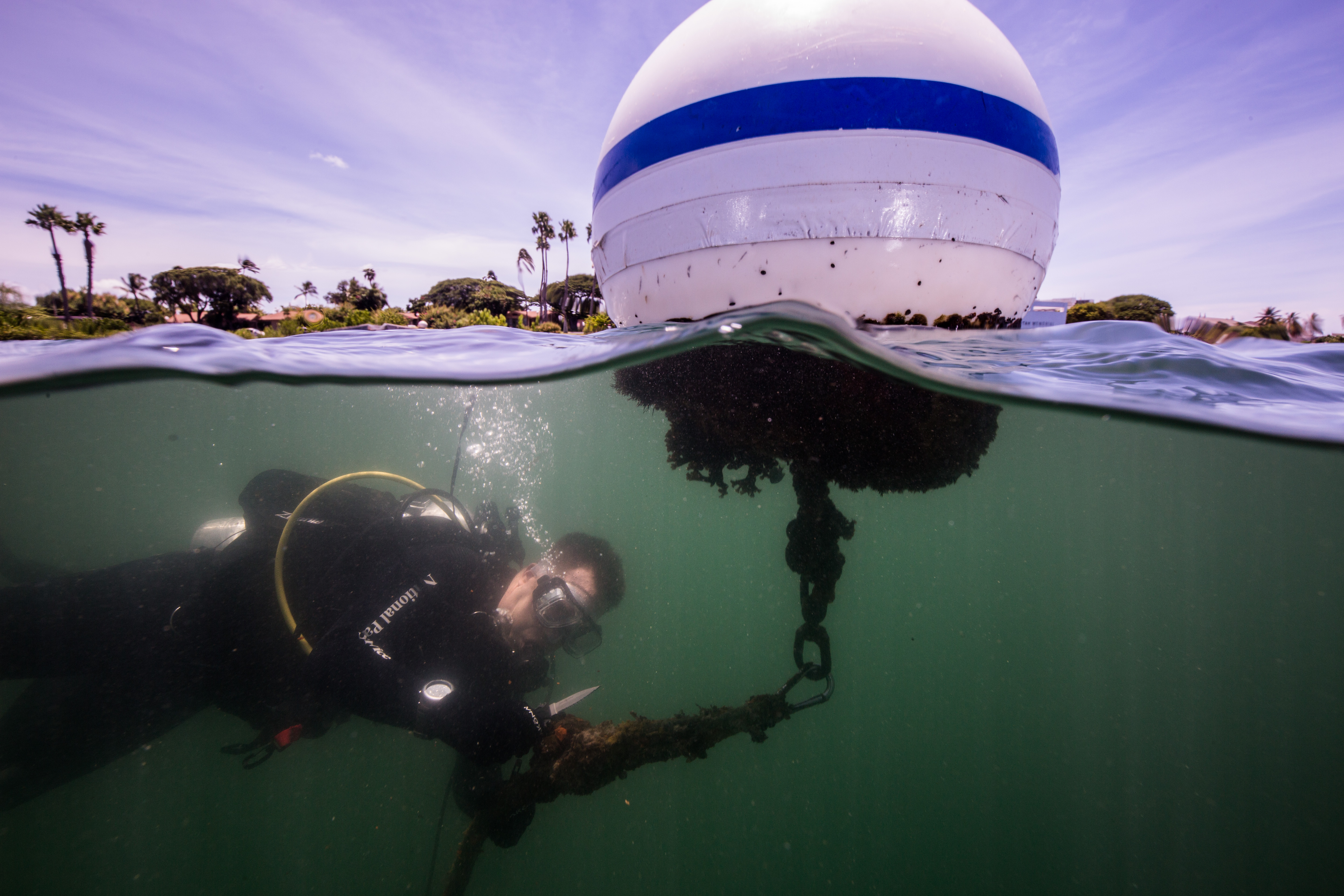
Imaging at Isle Royale – 3D Photogrammetry on World-Class Shipwrecks

Exploring the wreck of the Cox

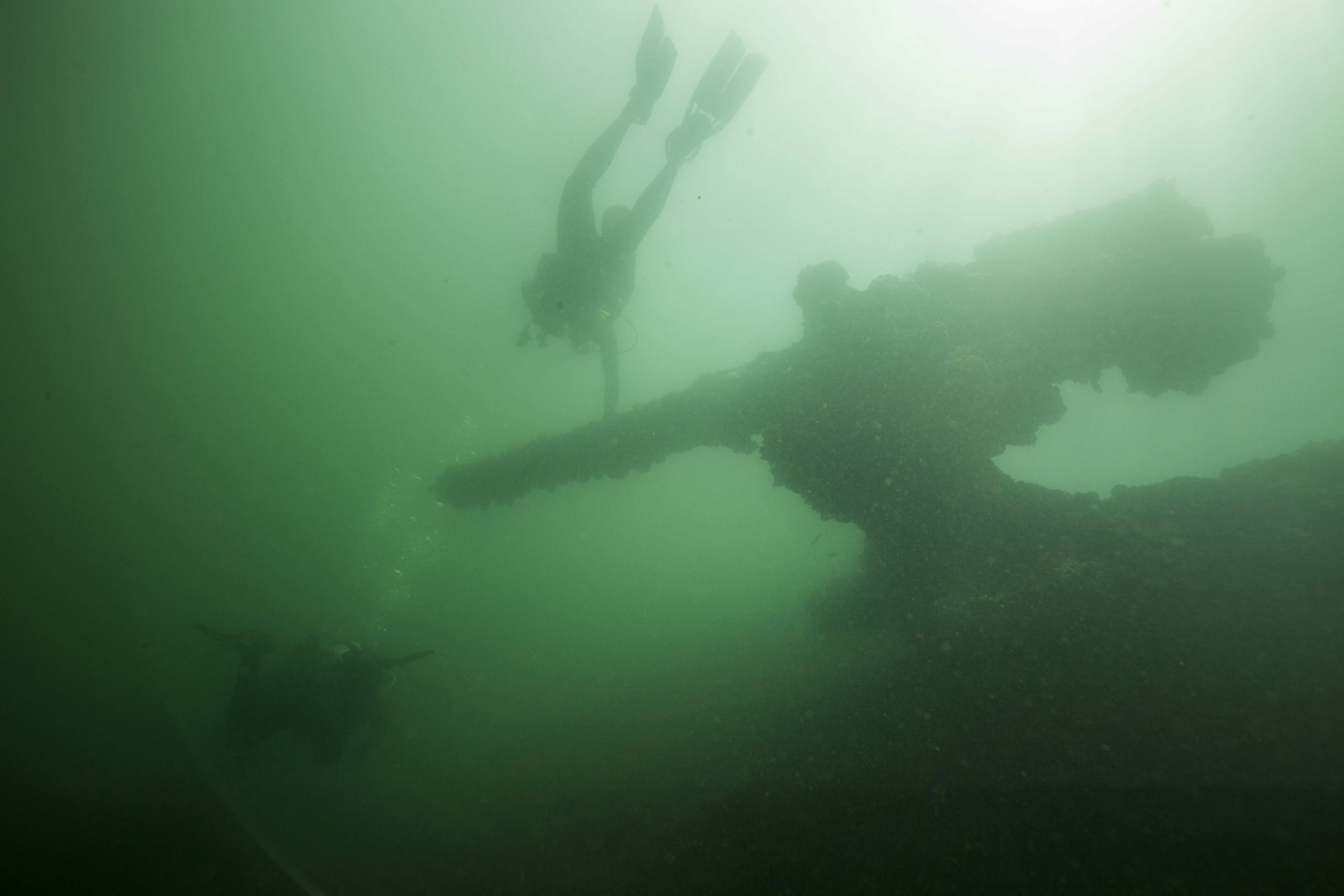
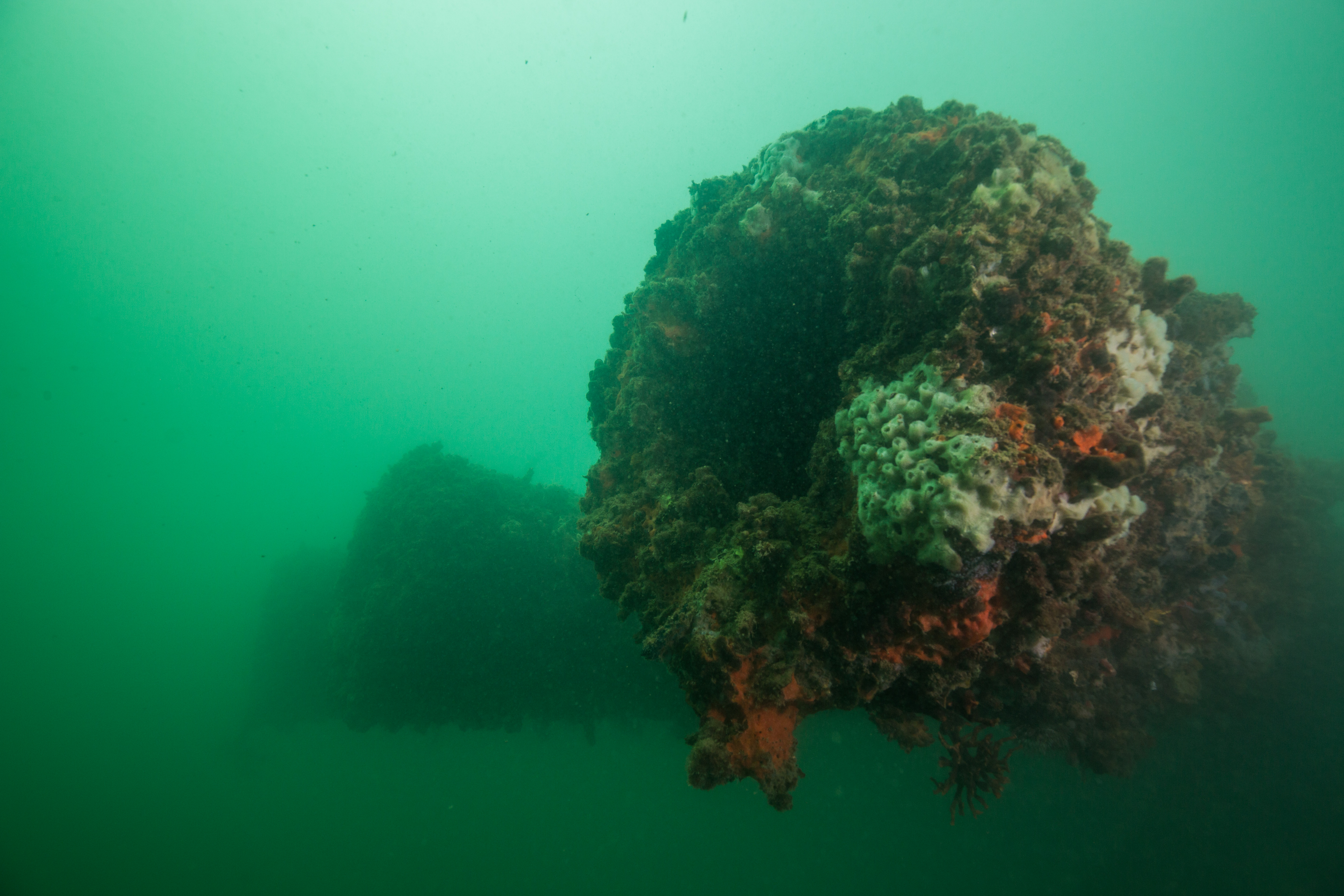
For the first 15 feet of our descent, the cloudy green water only allowed views of up to 10 feet ahead – I was limited to watching the tank and bubbles of Matt Hanks, my dive buddy, as we descended on the stern of the George M. Cox. Upon reaching the bottom, the visibility opened up to a dark and slightly murky 30 feet, giving me my first look at my third wreck of the trip. Not as intact as the Emperor or the America, the Cox was a bit more scattered and broken apart, but not without clear features. Some of the most striking ones sit right in the center of the wreck: two huge hulking boilers, nearly 10 feet in diameter and 20 feet long. These were stark, imposing, and an instant attention-grabber – I knew they’d make for a nice photo. Eager to start photographing, I swam back, peered through my viewfinder, and started looking for a good composition. While shooting, I noticed a mechanical whirring noise. Rather quiet, slightly inconspicuous, but present – and slowly getting louder. Occupied with my boiler photos, I pushed it to the back of my mind – probably just something on our boat up on the surface – and went back to work with the camera. After thirty seconds or so, I look up from my camera to do a typical surroundings check, to make sure my buddy is alright and that nothing has changed drastically. Check was going great: buddy was fine, I was still at the same depth and location that I’d been at, wreck is all still here, and – suddenly I realized the source of the mysterious noise. Seemingly materializing out of the murk and barreling towards me at what felt like breakneck speed was a dauntingly large, sleek, blue DPV-powered sled with three cameras attached and a rebreathing diver being towed from the back, a veritable underwater UFO. I sprint-swam out of the way and looked up to see the 6-inch eye of a camera lens peering down at me as it passed just feet over my head. That was my first experience with the SeaArray, the SRC’s flagship photogrammetry machine, and we were now on to our next part of our trip to Isle Royale National Park: doing 3D photogrammetry on some of the Park’s giant shipwrecks.

The SeaArray – the SRC’s sophisticated photogrammetry machine

3D photogrammetry is the process of creating 3D models of objects using still photos or video footage. This has a wide variety of applications, from visual effects to meteorology. It also turns out to be very useful in archaeology, the SRC’s original pursuit, as it allows archaeologists to have photo-realistic models of artifacts that may not be able to be removed from site (for cultural, diagnostic, or other reasons). It also has the potential to be indispensable in modeling larger, more inaccessible features like immovable objects, entire sites, or things that are difficult to observe and work on for extended periods of time – like submerged shipwrecks. The traditional approach to modeling shipwrecks was an endeavor: archaeologists would spend weeks on sites, putting in hours underwater painstakingly measuring and sketching these large-scale features. This process, something that the SRC perfected back in the early days, works perfectly fine but is a very time-consuming and effort-intensive process. Even back then in the 1980’s, photogrammetry was considered but not pursued due to insufficient technology. Now, in 2019, the SRC is finally putting the process to work on large-scale wrecks.

The tool for this project is a multi-camera array that has been the brainchild of Brett Seymour from the SRC and Evan Kovacs from Marine Imaging Technologies. Brett and Evan have been close friends for a while and have combined their friendships and affiliations on many projects in the past – filming, photographing, and 3D modeling wonders of marine archaeology from WW2 plane wrecks to Ancient Greek shipwrecks. They’ve been working together on the SeaArray for several years now, testing and perfecting it through various iterations. The most recent version, the one that I was lucky enough to see and dive with, consists of three 45.7 MP cameras (Nikon Z7s) in custom-built housings linked to a center control console with HDMI feedback from the three auxiliary units. This whole array, which is held together with a custom-fabricated carbon-fiber system of tubes and pieces, is then linked to a DPV (diver propulsion vehicle, or scooter) for ease of movement (as lugging this huge piece of equipment through the water would be nearly impossible in a slight current). When in operation, this unit will fire off three photos at once (one from each camera) in quick bursts, collecting all the visual data needed to create a high-quality 3D model.

The SeaArray at work on the bow of the Glenlyon

Now, why bother with making 3D models of these wrecks? I mean, it’s undoubtedly cool, but what does it do for us? From an archaeological standpoint, the technology of 3D photogrammetry is an absolute goldmine. The ability to make photorealistic scaled models of sites and artifacts with relative ease is valuable in general, and especially when it comes to marine archaeology as every minute spent underwater is more complicated, expensive, and dangerous than those spent above the surface. Being able to have an accurate model to examine from the safety of a desk anywhere in the world is far more convenient than having to travel to and dip underwater to see.  Alongside ease of studying, having accurate models like these also creates a type of digital conservation, preserving the wrecks in their present state for years to come. While cold freshwater is an ideal environment for slowing decomposition of materials, ice and strong winter storms can still damage them – within the past 10 years, the America lost a large section of its remaining structure from some heavy swell. Had there been a model created before the incident, the wreck would have been preserved in its pristine condition indefinitely in digital form, allowing future visitors to experience it as well.

Moving past the archaeological view, modeling wrecks like these is an invaluable tool for outreach as well. While photos, drawings, and videos of wrecks are captivating in their own way, there isn’t anything as immersive as a model that a user is able to explore on their own. It’s an incredibly useful way for visitors who may not be able to dive be able to explore what exists under the surface in their parks. The SRC does a great job of working to share this information with the public and have been producing great story maps (https://nps.maps.arcgis.com/apps/Cascade/index.html?appid=1a72876ce6e24a74a732a80875ed33bf) to help share the story of the Isle Royale wrecks with the world. After all these wrecks, like National Parks, are public property – the Parks Service works to preserve and protect them, and to share their beauty with the world.

While an earlier version of this system had been tested in Isle Royale the previous year proving its effectiveness, it was now time to put the new model to work. The first wreck to experience the photographic power of the SeaArray was the George M Cox, one which had recently been dove by the team to install a new buoy. For the first test, Brett was the pilot with Jim Nimz as his buddy, while Matt and I dove around the wreck ourselves. After sending in team one and gently lowering down the array itself (Brett has been stressing its durability as an important factor in its design, but it’s still a little unnerving to not be careful when dropping a 100 thousand dollar camera system into the water), Matt and I geared up ourselves and dropped in. The dive went well, apart from having me having a near collision with the array itself, and we were now ready to put it to work on the two wrecks that we had planned to model this trip: the America and the Glenlyon.

Camera deployment and recovery is a delicate operation involving a davit and careful rigging

The Glenlyon in its previous (intact) state. Photo: Historic Photograph Collection, ISRO Archives

The next couple days were dedicated to modeling the wreck of one of our two primary objectives this trip, the Glenlyon. A steel steamer sunk in 1924, the Glenlyon’s wreckage is scattered over two areas on either side of the shallow shoal that brought it down. With the stern on one side and the bow on the other, this makes for quite a bit of area to cover when modelling. Furthermore, the SRC wanted to link the two areas into one cohesive model by covering some of the shoal in between the two spots, making this site a multi-day project. To make things even more difficult, the site was about a two-hour boat ride away from our home base at Windigo, on the exposed southern coastline of Isle Royale.

For my first day on the wreck, the mapping objective was the wreckage scatter of the bow of the ship. Brett and Jim were going in as the array operator and buddy, while I dove with Susanna Pershern. Our objectives were to photographically document the 3D modeling in action, as well as to avoid any possible collisions with the array itself (this one was more specifically towards me). The first dive on the wreck was amazing, another completely new experience. Like the Cox, this wreck was very disarticulated but still featured large recognizable items. The lake bottom was blanketed in algae-covered sheets of metal, interspersed with pieces like large gears or davits. The main features on the bow were a large boiler and then the mostly intact tip of the bow itself – complete with an anchor windlass still laced with the anchor-laden chain.

The next day we spent on the stern, a rather small site but one with some visually striking features. This spot, about an eight-minute swim away from the wreckage of the bow, is the final resting place of a mechanically-complex triple expansion engine – now a submerged mismatch of pistons, pulleys, and gears. Connected to this huge engine, and responsible for propelling this sunken 328-foot steamer, is a huge driveshaft and equally large prop. Altogether, this wreckage makes for a very cool looking spot, and stands to make a crucial contribution to the 3D model. In addition to the 3D photogrammetry, this site was going to be the location for one of Evan Kovac’s many other underwater cinematic pursuits: 8k 360-degree virtual reality video with the Hydrus, one of the worlds most advanced underwater virtual reality video systems. Having this much photographic power underwater in one location was a huge venture, one that took two vessels and eight people to manage but was really incredible to view.

Evan Kovacs with Hydrus on the stern of the Emperor. Photo by Brett Seymour

While spending hours underwater taking hundreds of gigabytes of photos and videos a day may seem like enough work to occupy a team, it just doesn’t cut it for the SRC. After returning from a day of diving with the SeaArray collecting photogrammetric data, another type of work begins – photographic processing and the creation of the 3D models. This workload is so intense that the SRC brought in a ringer just to work on it – Bryce Sprecher, a recent graduate from University of Wisconsin, Madison, and an absolute photogrammetry whiz. As well as bringing his expertise in photogrammetric processing, Bryce also brought along a custom built top-of-the-line computer, funded by Marine Imagine Technology specifically for this work. This computing beast was created to attempt to cut down on the lengthy processing times of creating these 3D models, which can range from 8 hours for a low-quality model to upwards of a week with higher quality ones. Bryce, Brett, and Evan worked together each evening to process and turn the roughly one terabyte of data created in one photogrammetric dive into a viewable 3D model, sometimes staying up into the late hours of the night – there’s no rest when you’re out in the field.

All that hard work is worth it when it pumps out sweet models like this – this is a model of the engine of the Henry Chisholm wreck created the last time the SRC visited Isle Royale

While the photogrammetry data was whipped up into some low quality models while out in the field (low quality was used to get a quick view of the model to determine that sufficient photographic coverage was acquired), the VR data had to wait to be turned into a polished final product. Talking to Evan, I learned that it’s quite the process to turn the super wide-angle footage from the 10 cinema-quality cameras into one seamless and professional 360-degree video file – one that can run up to 20 thousand dollars to process and produce a three-minute clip. That stuff would have to wait. For now, the focus was to be centered on getting out rough 3D models to confirm enough photographic coverage of each site, allowing us to avoid a situation where gaps in data are realized once we’ve left. This strategy saved us a couple times as well – early renders on the Glenlyon showed the team bare patches in the model between the main wreck and scattered wreckage, but still alerted us early enough in the trip that we had time to return to the site and fix the issue.

Brett Seymour imaging the triple expansion engine of the Glenlyon

Along with the Glenlyon, the other modelling target for the trip was the America. Sunk just inside the mouth of the calm Washington harbor, the America was slated to be an easy grab – protected from swells in almost every situation, a short 10-minute boat ride from the harbor, and not too deep to require advanced dive planning. There was only one issue: the wreck lay on a steep slope, making it highly variable in depth with the bow at around 2 feet deep and the stern reaching 85 feet. This leads to a huge gradient in lighting on the ship, which creates problems for imaging. How do you get even exposures when you’re transitioning from shooting in near daylight just below the surface to the gloomy depths of 80 feet underwater murky lake water? You shoot it at night.

The wreck of the America with the SeaArray over the bow, backlit by divers. Photo by Bryce Sprecher.

Now, this solution didn’t solve all the potential problems with modeling this wreck. There was still the huge change in depth, which created buoyancy woes when weaving up from 80 feet to the surface and back down again, over and over and over (especially when diving a closed-circuit rebreather). It also created new issues that had to be dealt with. The SeaArray now needed lights, and ones powerful enough to illuminate a large enough swath of ship to create an even exposure in all three of the cameras wide field-of-views. We also needed to mobilize a team to go out at night, needing more surface support and a larger staging vessel to make sure everything stays safe. Finally, you have the ever-present issue of temperature – the 37 degree water feels cold enough in the daytime.

Four Keldan video lights hard at work illuminating the wreck

Lots of factors were at play to make this wreck difficult to model, but at the same time there were lots at work to make it worth it. The America is arguably the Park’s most popular wreck due to its intactness and ease of access, raking in a good 20% of the yearly dives done at Isle Royale. It’s the only wreck that is accessible to non-divers as it’s bow nearly peeks out of the water and allows for a good section of the wreck to be seen from the surface. It also holds a special place in Park history: the vessel served as a passenger and cargo ferry for Isle Royale for a good 12 years before her untimely demise. Finally, it’s a visually striking wreck, and one that’s potentially structurally unsound as well (a portion of it collapsed in recent years), making for a good argument towards preserving it digitally with a 3D model.

The stern of the America, which up until recently was the home to an intact wheelhouse instead of the pile of timbers that you see here


Imaging the wreck of the America

So, with all this in mind, our team set off around 9:30 one evening (the sun doesn’t set until around 10, and we needed complete darkness) and motored off towards the America. It was a beautiful evening – warm, no wind, flat water – setting the stage for a seamless dive. After waiting for darkness to fall, we sent in the team of photogrammetry surveyors (Brett as the pilot and Evan as his buddy) and shortly after the photographers (myself and Susanna – a big thank you to Susanna for rallying and joining me on this dark and chilly dive, I appreciate your sacrifice). As predicted, the dive was not without issues. Shortly before dropping I realized that both of my strobes refused to work (despite battery changes and gentle encouragement) and immediately after descending realized that the seal of my dry glove had a major leak. This meant that all I had for illumination and navigation was the heavy-duty video light that I had on my camera – not ideal. To make things worse there was a slight current, which can be very disorienting when you’re dealing with a near blackout dive on a confusingly oriented surface like the heavily slanted deck of the tilted America. However, all of this frustration vanished with I got my first view of the Sea Array at night: Strapped to the gills with four 15000 lumen video lights and slowly motoring up the side of the wreck from the depths, it somehow looked even more alien than it had the first time I saw it. Susanna and I only stayed down for a little over 20 minutes until the extreme cold (and completely soaked left arm in my case) forced us to evacuate the water, but I absolutely loved those 20 minutes that I got to spend watching that marvelous creation weave slowly up and down that gloomy wreck at night.

The SeaArray imaging parts of the starboard side of the America

The rest of the trip was occupied with getting the last little bit of data needed on the Glenlyon, as well as filming some VR video with Evan’s Hydrus on the wrecks of the Emperor and the Cox. After completing all our scheduled work, we started up the busy process of packing up our many boxes of gear and heading on to our next ventures – which, for me, was the sunny beaches of the St. Croix in the US Virgin Islands.

Packing up the boat to leave – I’ll miss you Isle Royale!

Share

Dive Safety Ins and Outs


The Giant from Henry Cowell Redwoods State Park in Santa Cruz. Photo: K. Cipolla

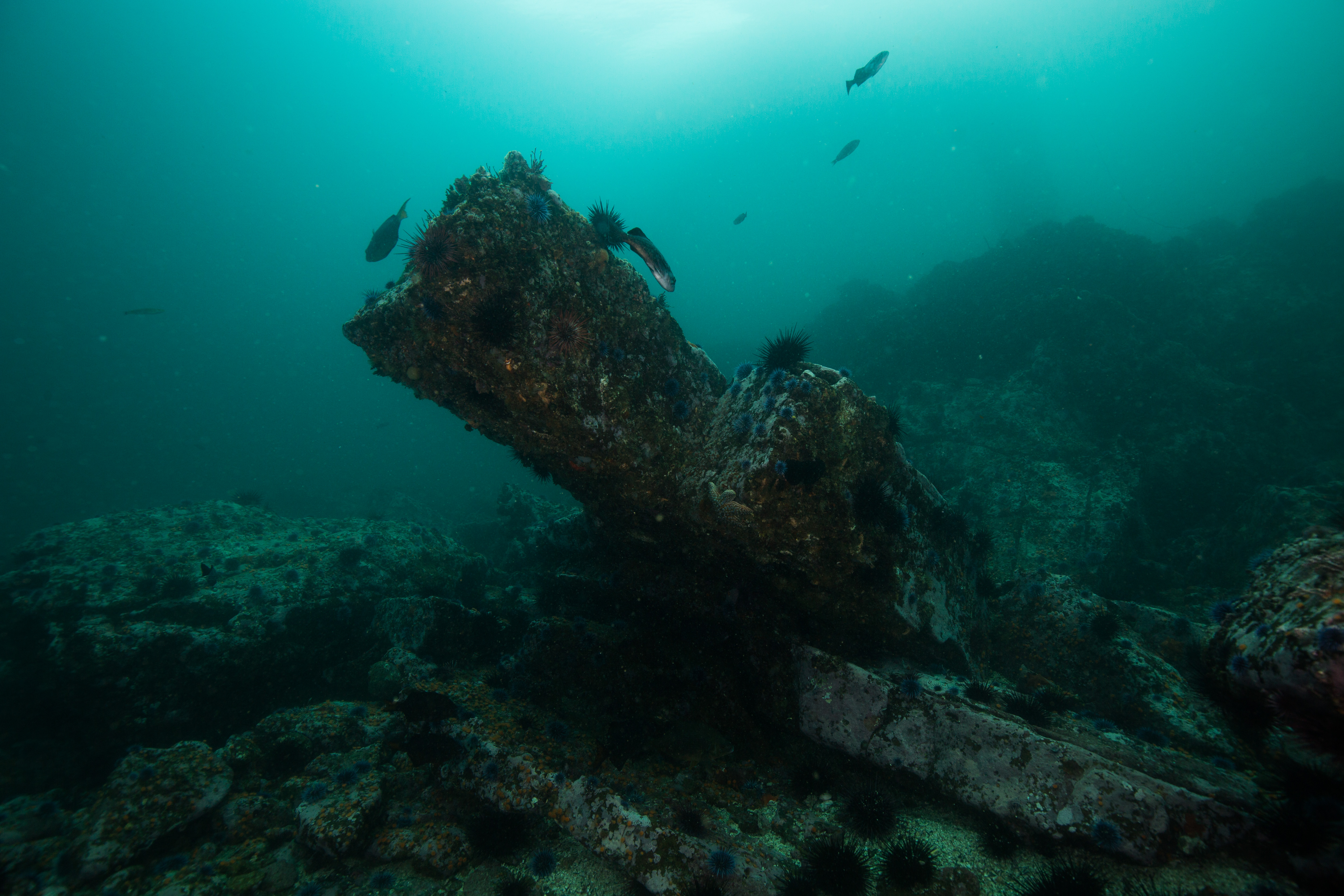
The one word that perfectly describes the past few weeks would be exploration. In all different meanings: mental exploration and physical exploration. Now that I am back in California in between research trips, I’ve had the chance to explore terrestrial and marine environments of the local area. The day after the Mexico trip, I saw some Redwoods up close for the first time. There were so many people of different backgrounds enjoying the park and the educational trail guides. Parks are great protected lands that improve water quality, provide vegetative buffers to development, produce habitat for wildlife, and provide a place for children and families to connect with nature. It made me think of ways to get people to connect with the ocean like they do with forests. Engaging people from a variety of genders, ethnicities, sexual orientations, perspectives, backgrounds, areas of expertise, religions, cultures, and other variables to connect with nature and science is so important and this small exploration allowed me to really dig deep in thought about the availability of the ocean life to diverse groups of people. This was a great experience out of the water and a fun break before diving into more dive-related activities in Moss Landing.
Visual inspection for scuba tanks. Photo: Rhea’s Diving

I am so lucky that I get to learn about not only research diving techniques, but also about dive safety, gear maintenance, and dive planning. I shadowed the Assistant Dive Safety Officer at Moss Landing Marine Labs, Shelby Penn, for a few days and got to learn and help on various tasks. On the first day, tasks consisted of reorganizing tank records that Moss Landing keeps and I learned about tumbling tanks, hydrostatic testing, and much more. The second day, Shelby showed me how to visually inspect tanks and all the workings inside the valve. We inspected a few tanks after emptying them, by inspecting the inside for rust and bumps, cleaning out the tank, switching some new parts for the valve, and cleaning the valve. I can now say with confidence that I can put a valve back together!

Shelby Penn (Assistant DSO & our handy dandy oxygen kits) Photo: K. Cipolla

On the last day, we did maintenance on some Oxygen Kits at Marine Operations and added in new gear, replaced some old parts, and updated the records. This taught me more about the proper gear to keep in oxygen kits and made me more familiar with these important safety tools. Now I know exactly what goes into emergency O2 first aid, as well as other first aid techniques I learned in DAN’s Diving First Aid for Dive Professionals (DFA Pro) course that I took at the beginning of the internship.

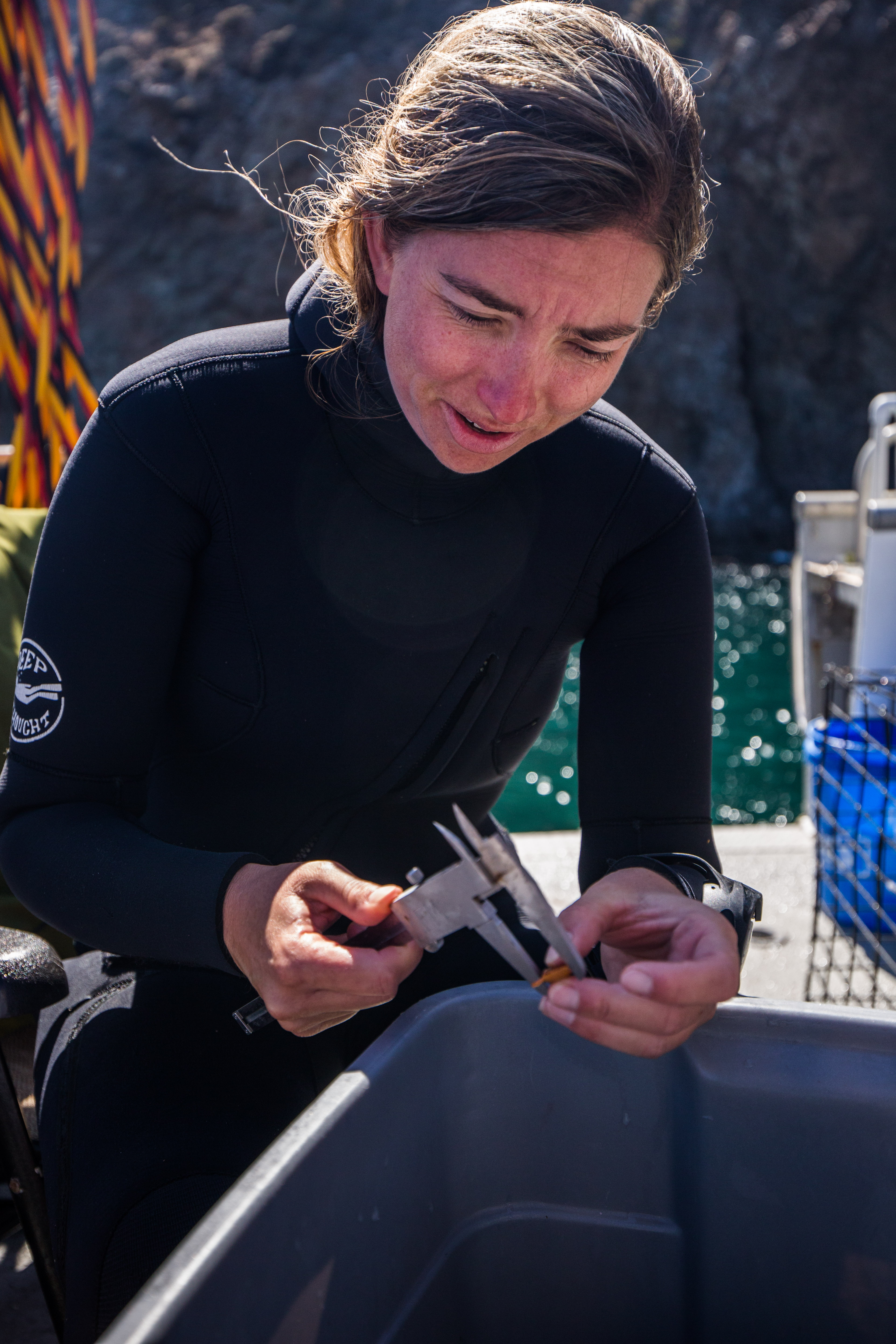
Besides learning about dive safety, I got to assist a Moss Landing graduate student, Max Rintoul, with his thesis project focused on kelp growth at Granite Canyon with another Moss Student, Dan Gossard. I learned more and more about the history of MLML  and several grad students’ experiences. From how they created their research project, worked through stages of revisions with their advisor and mentors, actually going out in the field (or lab) to observe or conduct experiments, and finally working through samples/data to answer their research question.


Clear, beautiful view of Granite Canyon from the water. Photo: Dan Gossard

Max puncturing the kelp in order to measure the growth in a month from now. Photo: Dan Gossard

Granite Canyon Dive Site. Photo: Dan Gossard

Moss Landing Marine Laboratories administers the Master of Science in marine science program for California State Universities in northern and central California and is dedicated to both education and research. It is so great to meet graduate students who work at Moss Landing but are from different California State Universities. I love the collaboration between the students and faculty, between lab members, and between different labs entirely. When you’re a scientist, one of the best parts of the job is getting to work with other scientists. It’s sharing your ideas with other people and together creating the best science that you can. I am super excited to work with more scientists especially since I am going to Catalina Island in a few days to help with multiple Rhodolith projects! More on that next time!

Share

Taking a bite out of DFA Pro

Diving can take individuals all over the world, and it is becoming increasingly accessible to people, including those with diverse backgrounds. This calls for the ability of critical safety materials to be available globally and meet the needs of the growing diver profile.

If you are a dive professional, you may have had the opportunity to take DAN’s Diving First Aid for Dive Professionals (DFA Pro) course. It is a comprehensive course focused on diving and non-diving related injuries. Content includes emergency O2 first aid, CPR with AED, and marine life-related injuries to provide basic training for those who use diving as part of their jobs or volunteer activities. The first version of this course was created in 2006 at the request of aquariums needing to track a variety of staff and volunteer divers to maintain their accreditation. After many years of research and revision, the course is now on version 3.0 with release expected in 2020.   

DAN is a global leader in scuba diving safety resources and has locations all over the world, including Asia Pacific, Brazil, South Africa, Europe, and headquarters in Durham, North Carolina. However, all the course materials and guidelines come from the DAN headquarters here in the U.S.

As a member of DAN and a dive professional-in-training, I had the opportunity to take this course both for my own benefit and for part of my internship. This past week, I finished the skills portion and completed the course. I definitely improved my emergency response skills and become more confident with each time I practice!

A humorus break—not so funny! Camilo was a great patient. Picture by Tess Helfrich.

Instructor Jim writing on Instructor Tess’s forehead to demonstrate part of proper tourniquet usage. Congrats, Tess, on earning your DFA Pro Instructor status!


Behind the scenes of the classroom, Patty Seery, Jim Gunderson, and I have been working together to reassess and rewrite the course materials as needed to fit our global audience. This includes comparing guidelines from organizations that are part of the International Liaison Committee on Resuscitation (ILCOR) such as the American Heart Association (AHA), Australia and New Zealand Committee on Resuscitation (ANZCOR), Canadian Heart Association (CHA), and the European Resuscitation Council (ERC).

Practicing CPR with rescue breaths, 30:2. Picture by Jim Gunderson.


While most of the guidelines are consistent across the board, there are a few differences in recommendations that need to be addressed and considered. For example, there are 3 methods proven to be effective in responding to a foreign body airway obstruction (FBAO), commonly referred to as severe airway obstruction or choking, in adults. The ERC says no single technique alone is effective in resolving an FBAO, but the best method is multiple techniques used together, including back blows (or “slaps”), abdominal thrusts, and chest thrusts. The ANZCOR guidelines suggest chest thrusts and back blows are effective but abdominal thrusts are not. The AHA recommends abdominal thrusts be used first in rapid sequence for simplicity, but acknowledges multiple methods in combination may be needed. Of course, not one organization offers better guidelines than another—the guidelines are created based on research that can be interpreted in multiple ways, and thus, discrepancies exist. We are working to reconcile these conflicting methods because of the locations of our courses.

Now for the underwater adventures:
The Carolinas are known for the sharks that live off the coast—and this reputation dates back about 30 million years! Megalodon sharks, which are thought to have reached lengths exceeding the size of a school bus, are the equivalent of underwater T-Rexes. Although these giants lived way before our time, we can still occasionally find their teeth. I decided to test my luck and take a trip to South Carolina’s Cooper River to dive for these prized artifacts with some friends here at DAN.

Showing off my best teeth. Photo by John Cercopely.

Shout out to my awesome dive buddy, Tess! Photo by John Cercopely with Cooper River Dive Charters.


The conditions were harsh: below 7 feet it was completely dark, visibility was 10 inches at best, and we fought a current with screwdrivers stuck into the clay bottom. It was an incredibly challenging couple of dives, but I improved some valuable skills such as performing successful safety stops with no reference points. Above all, though, our efforts were greatly rewarded! I returned with a mouthful of awesome teeth.


The day’s finds! Size shown relative to my hand. Large tooth is about 5 inches and is from a megalodon. Other teeth might be from bull sharks, lemon sharks, tiger sharks, sand tiger sharks, and one alligator tooth (bottom right). Thanks to Cooper River Dive Charters!


Share