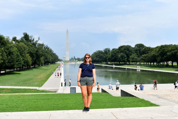
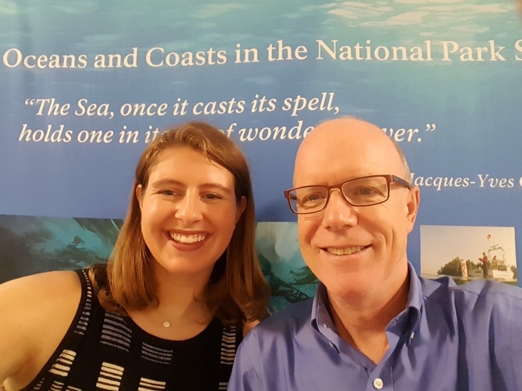
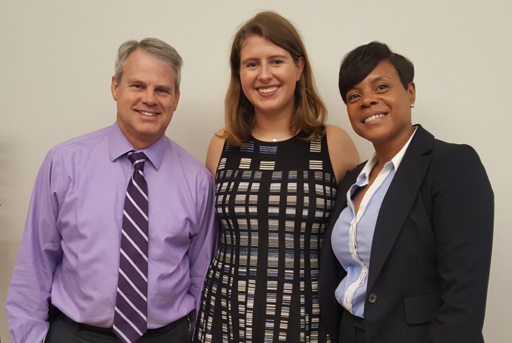
Behind the Scenes!

This week we did not go on any field trips, but it was far from boring!

DAN is in the middle of a website “makeover,” which includes the online seminars being offered at no charge to their members. With the introduction of the eLearning platform, all existing modules needed to be copied from the original platform, then formatted to fit the eLearning platform. I downloaded and formatted seven different modules, plus the modules used internally by the Institutional Review Board. Programs to check out later when they are launched are:

  • Pathophysiology and Decompression Illness
  • Breathing Underwater is an Unnatural Act
  • Inert Gas Exchange, Bubbles, and Decompression Theory
  • Ears and Diving
  • Diabetes and Diving
  • Optimal Path
  • Pathophysiology of DCI

This is what the formatting screen looks like before an image is added.

And this is what the formatting screen looks like after an image is added.

This is what the final product will look like on eLearning.

This was a great experience — much different from what I had been doing here with the field trips and the classes. It was so cool to be able to go “behind the scenes” to help build the DAN online education programs.

The other project I am working on is creating a program for DAN instructors on education theory and teaching methodologies. I am focusing on “effective teaching practices” for adult learners. This is something I have been looking forward to since Patty brought up the idea. The process and research that needed to be done for this program are so different from what I am used to — teaching practices for children. It is interesting to see the other side of teaching practices and compare what I have learned in my university classes with what I am learning here.

Share

Lionfish & Shipwrecks

Now that we are through with camps for the summer, my remaining weeks will be spent either at the office or at a lionfish derby. The lionfish derbies are part of REEF’s Invasive Lionfish Program. They consist of dive teams, freediving or scuba diving, which collect lionfish by spearfishing or netting. There are prizes for the most, the biggest, and the smallest lionfish.

Lionfish first started appearing on the Florida coastline in 1985 due to aquarium releases. Since then, they have spread to most of the Caribbean directly competing with native fishes. The last derby in Ft. Lauderdale brought in 506 lionfish from 7 teams! Our derbies are a great community event that help educate people on the detrimental effects of releasing a non-native species


Our remaining derbies for the summer are in Palm Beach and Jacksonville. Aside from taking lionfish out of the water, the other objective of these derbies is to demonstrate how tasty lionfish are. We serve free lionfish ceviche at the derbies and have a culinary competition by participating chefs. If we can increase the demand for lionfish by patrons at restaurants and grocery stores, then removal efforts by divers will become more cost effective.

Two weekends ago my regular days were interrupted by a welcomed guest, Shannon Brown the OWUSS NPS intern! We managed to connect while she was here in South Florida at Biscayne National Park. She and other members of the NPS team took me out to the Maritime Heritage Trail to significant and very old ship wrecks. I did what I do best and conducted a fish survey on these wrecks. Because I am not AAUS certified, I could only snorkel these areas, but I was able to see plenty!

Shannon and her co-worker, Joel, changed my perspective on Marine Archeology. While I was busy being distracted by the biology of the area, they were marvelling at the stories the structure of the ship could tell. With their help, I was able to appreciate what I was seeing a little bit more and understand their excitement for maritime history. Shannon tried on my hat and conducted a fish survey herself which she was very proficient at! The entire NPS team was extremely welcoming to me and it was a great reminder of what a privilege it is to be apart of the Our World Underwater network.

Thanks again to Shannon for the pictures and to Dave Conlin for the warm welcome!

Share

Farm to Table — Kelp to Processing Table

This week was dive intensive. Early in the week, Monday and Tuesday, I finished digitizing the old kelp data thus making it possible for Courtney to make maps of the kelp using geographic information systems (GIS) using ArcMap to visualize the data. Using these maps, we can see that kelp is moving further north to colder waters, along with a change in species composition. Cold water species such as Alaria esculenta are virtually non-existent in the warmer southern waters which are predominantly inhabited by other species like Saccharina latissima and Laminaria digitata.

Hattie, a dive master for the AAUS class, having some fun with a giant scallop!

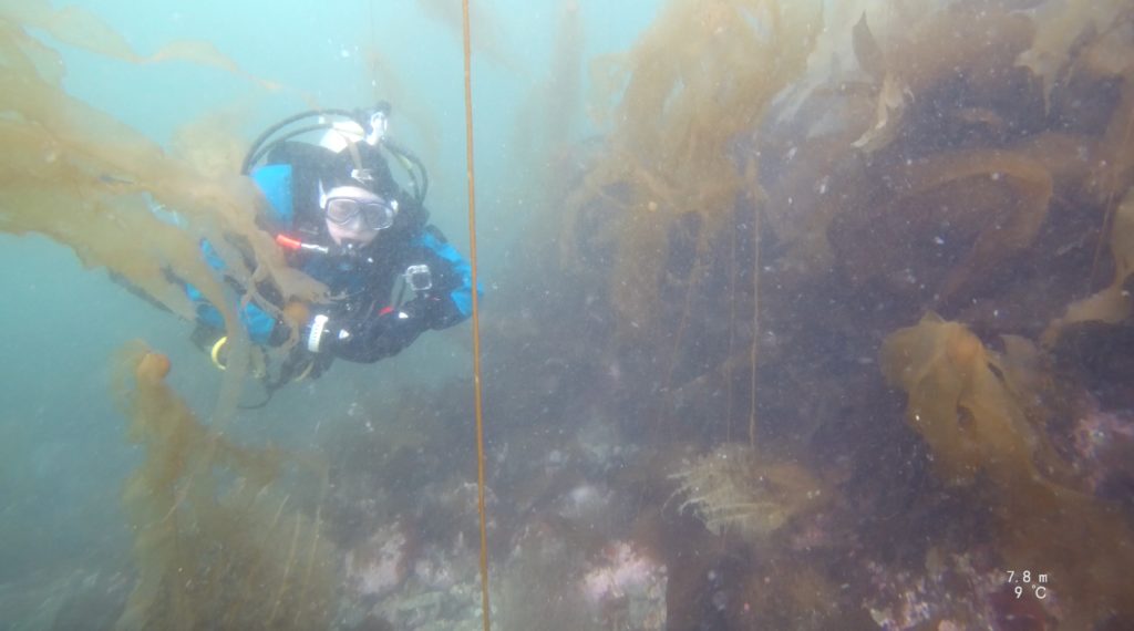
On Wednesday I had my third AAUS class. This class is always a highlight of the week due to the close community we have formed in such a short period. With only six people in the class, three instructors and three students, it is a more intimate and fun atmosphere with jokes and laughter flowing each day. Chris keeps the class upbeat but keeps us focused on learning and our diving tasks for the day. This Wednesday we headed to my neck of the woods, Bigelow Labs, to complete a dock dive from their property in the Damariscotta River. The purpose of these dives was to plan and execute a multi-level dive starting at 45 feet and progressing upwards. Bigelow is uniquely suited for a dive like this, right off their dock is 20-30 feet of water and a short 20-foot swim will drop you into 60 feet. We completed two multi-level dives while getting to experience a different environment from our previous dive site Sand Cove. We saw massive kelp, five to six feet long, and giant scallops almost the size of dinner plates. Lobsters, Jonah crabs, and Green Crabs inhabit every crack and crevice.

Thursday was finally my first true scientific dive a Bigelow! We woke up early and prepared the gear and loaded the boat to be on the water by 8:00 a.m. We had four dives planned for the day – two dives at Damariscove, one at 10 meters the other at 5 meters, while two more dives at Pemaquid at the same depth profiles.

We will be sampling these two sites plus 18 others this summer. Each site has been sampled back in 2004 with little knowledge about the changes over the last 14 years. The return of these kelp beds to Maine have been understudied in the past years. The aquatic ecosystem in Maine long ago was a more diverse system with many trophic levels and a complex food web. Cod was a top predator eating smaller fish and keeping the sea urchin population at bay. However, in the 1950s we started fishing cod and nearly fished cod to extinction in the 1990s. Without these top predators left in the waters of Maine, sea urchin population spiked. Sea urchins are incredible but destructive organisms. Their appetite is unquenchable; urchins can eat 2-4 percent of their body weight each day! Sea urchins also have a preferred food of choice: kelp. Thus, with the fall of cod and the spike in urchin populations, kelp was quickly being eaten and obliterated by the urchins. In 15 years kelp beds, like cod, were gone leaving empty sand and rock patches with only urchins, known as “urchin barrens.” However, Mainers are resourceful and like to make money. Urchins and their gonads are a valuable delicacy in Asia and quickly people started to dive and snorkel for these small spiny creatures. The business was so lucrative and easy that in less than ten years Mainers had fished almost all the sea urchins from the Gulf of Maine. In those ten years, it is estimated that 250,000,000 urchins were taken from Maine’s waters!  With the decimation of the urchins, kelps soon started to return to the Gulf of Maine. And here we are today, kelps are returning, yet no one really knows how much has returned, which species returned, and what proportion of species make up these kelp beds. These questions, along with others, are the questions that Doug and Thew are trying to answer. To answer these complex ecological question means collecting data, and collecting data means getting in the water, and getting in the water means SCUBA diving! Now my summer has really begun!

While I’m in the water, Courtney starts handing me collection bags, and quadrats from the boat.

The dives at Damariscove and Pemaquid were an entirely new experience for me. Unlike recreational dive, scientific diving has a unique feel to it. You have a mission, an objective, and you are simply using SCUBA to accomplish that goal. You aren’t diving for the pleasure of seeing kelp beds and lobster, although it’s a bonus if you like the work! On each dive, I am either diving with Doug or Thew while the other stays on the boat as surface support. Each diver is loaded with gear for the dive: writing slates with underwater paper, collection bags, transect tapes, and quadrats. A bit cumbersome on land and the surface, but underwater it is manageable. All dives start with a descent down the anchor line to the bottom. Depending on those ten-foot tides it could be anywhere from 30 to 45 feet. Once we reach the bottom, we either are directly over a kelp bed or swim a few meters to the start of one. I wait at the starting point while the other diver runs the 10-meter transect across the bottom. While the other dive is doing that, I place one of the half-meter quadrats at the two-meter mark. After laying the transect line, Doug or Thew will come to that first quadrat to begin analyzing and quantifying everything inside, including percent cover of the different kelp species. They will record the type of substrate these seaweeds are growing on and if there are any crab or lobster in the quadrats. After they are done they will move to the left side of the two-meter mark on the transect, then the right side at 4 meters, left side at 4 meters, doing this until they reach 8 meters.

Thew trying to record percent coverage of different seaweeds in the quadrat.

After they record their data I come in and place my quadrat in the same place and begin to collect all the kelp in the quadrat. Kelp can be as big as 6-7ft or as small as an inch. Each kelp is put in a collection bag and will be later measured and weighted. Not only do I collect all the kelp I also collect all of the small understory, the small little seaweeds that cover the bottom. After both divers collect their data we pick up the transect and ascend back to the surface. We will take a short break moving to the next depth or site while getting new collection bags ready and fresh sheets of underwater paper.

The dives themselves take anywhere from 25 minutes to 1 hour. We left Bigelow at 8 a.m. and were back by 4 p.m. The water was cold, only 52F, and doing all four dives can get pretty cold. I have been graciously gifted a drysuit by USIA however, at this point it is being shipped to me, thus I’m diving a 7/8mm semi-dry which tests my fortitude. Being wet and in 50-degree water for 6 hours at a time is definitely an experience. But I love it. That’s why I came here to dive, and there was plenty happening this week.

After our one-day dive trip, we had Friday to process the samples I had collected and prep for a three-day research cruise to Hurricane Island. Hurricane Island is 10 miles southeast of Rockland and two miles southwest of Vinalhaven in the Fox Islands archipelago, Penobscot Bay, Maine. The island has a small staff along with cabins which provide hands-on education programs and research opportunities focusing on marine sciences, for all ages from middle school to adults. The island is run completely of the grid, with solar panels generating the electricity and a gravity fed pump for water. The simplicity of the island is charming. 

Loading the Silver Sides for our trip to Hurricane Island.

A fully load boat! 18 tanks, 3 sets of dive gear, sorting geat, and our clothing.

Our three-day trip, Sunday-Tuesday, was a work-filled fun time. Going on the trip was the usual crew: Doug, Thew, Courtney, and I. We woke up early and loaded our trusty boat, the RV Silver Sides, and started on the 1.5hr ride to Hurricane. After getting there we immediately unloaded our essential research gear and got a quick tour of the facilities. Doug has an “in” at Hurricane, Phoebe Jekielek, the Program Director for the Island. They were good friends in the early stages of their careers at the Marine Darling Center. Phoebe is this wildly funny, free spirited person with a smile that is contagious. After our dives when we would sort our samples, she would come to hang out and tell stories of when Doug and she were younger and all the “shenanigans” they got into. So after our quick tour, we jumped in the boat to go on our dives for the day. Similarly to our last dive outing, we would be sampling two sites and two depth using the sample procedure and protocols as before. It was nice to have Courtney on the boat, as an extra set of hands to help out. After a couple of long hours, we headed back to Hurricane.  

Hurricane Island.


Late night sorting. Thew measures and weighs each kelp, Courtney sorts the understory, Doug trying to key out the similar looking species, and I record the species weights and length. Processing samples can take anywhere from 2-4 hours so good music and a speaker is key!

A goat cheese salad, with fresh beets along with crackers and hummus — yum.

Serendipitously, that Sunday Hurricane Island was providing a farm to table dinner, one of three they put on for the community in the summer. This white tablecloth, five-course meal, was the talk of the town and somehow Phoebe squeezed us four grubby scientists on the guest list. When we unloaded the boat we looked like a motley crew, wet, tired, dirty, and even slimy from our kelps. None of us packed nice clothes for such an occasion making this event even more comical. We cleaned up as best we could and dressed to the nines (jeans with ripped holes, and rain coats) sat for an amazing meal. Seared scallops, kale salad, halibut, pork and polenta, and rhubarb cake. Doug and Thew continuously reminded Courtney and me that this is never how nice research trips usually are and we should be extremely lucky. After the dinner was over we all slowly and painfully and to leave to process our samples, sorting, identifying, measuring and weighing kelps and seaweeds into the night. Monday was the same plan, get up, dive, and process samples. Hurricane provides it residents breakfast, lunch, and dinner, all of which are high quality and fresh meals. Although they aren’t five-course meals we still were spoiled. They even packed us an amazing lunch of salad, beets, hummus, and crackers.

In the span of our three days at Hurricane Island we dove 12 times at six different sites. Each morning was an early wake-up call, load the boat, eat breakfast and be on the water by nine. Our nights were long, getting back at six or seven followed by cleaning and rinsing gear and ourselves. Dinner would promptly follow with our day ending in sorting our samples, which took three hours with all of us working hard. It seemed like a short trip with us always being on the move or needing to complete some task. I enjoyed my time on the island and would love to go back to visit and hike their trails. For more information on Hurricane Island: http://www.hurricaneisland.net/

Next week we will take a day trip to Monhegan and Allen island and I have AAUS class. During the week, we will be preparing for our down east trip which should bring lots of diving and stories. Thank you to Pheobe for being an amazing host at Hurricane and to Courtney for the GIS maps. Thank you OWUSS and AAUS. 

Until next time – Shane


Share

Counting Kids not Fish

One of the programs here at REEF that I mentioned in my last post is the Explores Education Program. I am working specifically on the Ocean Explorers Camp. This is an environmental camp with an ocean focus for kids ages 7-12. Each day we are in or on the ocean in some capacity doing activities like snorkeling and kayaking. We host the camp at John Pennekamp Coral Reef State Park.

The responsibility to physically be at camp as a counsellor switches between interns. When I am not actually there, I am working on camp curriculum design. This is one of my independent projects I have undertaken. Thanks to my last position, I have experience in environmental education camp program design. I am thrilled to be given the trust and support to exercise this skill set.

In my previous position, I learned and implemented Earth Education Guidelines into my designs. Explained to me by my supervisor but synthesized by Steve Van Matre in his book, Earth Education, “Earth Education is the process of helping people live more harmoniously and joyously with the natural world.” By following the guidelines, you can hope to achieve three outcomes: feeling, understanding and processing. Essentially you aim to create programs that emotionally connect participants to the environment while also having them achieve an understanding on a subject of importance. The last outcome focuses on the participant’s own impact on the environment and how they can take action towards positive change.

I am hoping to take my knowledge and experience using these guidelines to create a comprehensive program design that can be used by REEF in years to come. One of the program components I am creating is a “New World Scavenger Hunt”. Working with a local museum, The Florida Keys History & Discovery Centre, I have gathered information and resources on what life would have been like for the early European explorers and the Native American population of the area. The goal is to have the kids experience how these people interacted with the environment around them. My desired outcome on this particular component is to teach the kids that it is important to look at our past and the perspectives of others to make smart decisions about our environment.

Education is in REEF’s name and I am excited to contribute.


Share

The end of my Alaska adventure

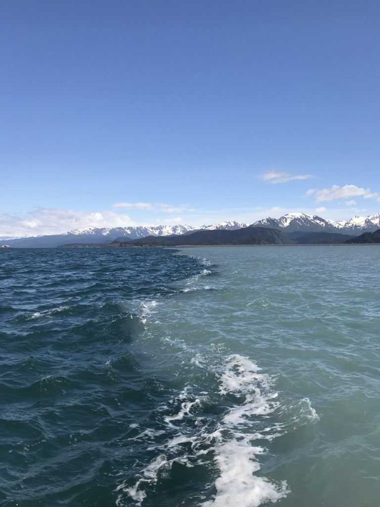
I left off my last blog post while I was aboard The Lituya motoring along from Juneau to Prince of Wales with Ginny and her husband Matt. My trip down was spectacular. The weather was great and the opportunity to spend a few nights on the boat, anchoring in places with almost no one in sight was out of this world. The first night we anchored in glassy waters just outside the bay of a town called Kake. I will honestly never forget the feeling of sitting on the boat as the sun was setting watching the eagles soar over the water and trees.

The next morning was met with rivaling views. As the fog cleared after our early morning departure, the most magnificent reflection I’ve ever seen was created on the water. The second day was packed with spotting sea otters (which would later come in handy when learning to do sea otter surveys with the Prince of Wales team), dodging kelp, and navigating the Rocky Passage, a big but shallow short cut Ginny decided to take. 

We made it to our destination in Prince of Wales later that day but had time to spend before our meet up on the North of the island with the team the following day. We decided to check out a small bay called Hole in the Wall, named because of its extremely narrow passage, which can only be navigated at certain tides. Luckily our timing was perfect and Matt and Ginny were able to navigate through. We spent the rest of the day relaxing and spying for black bears on land.   

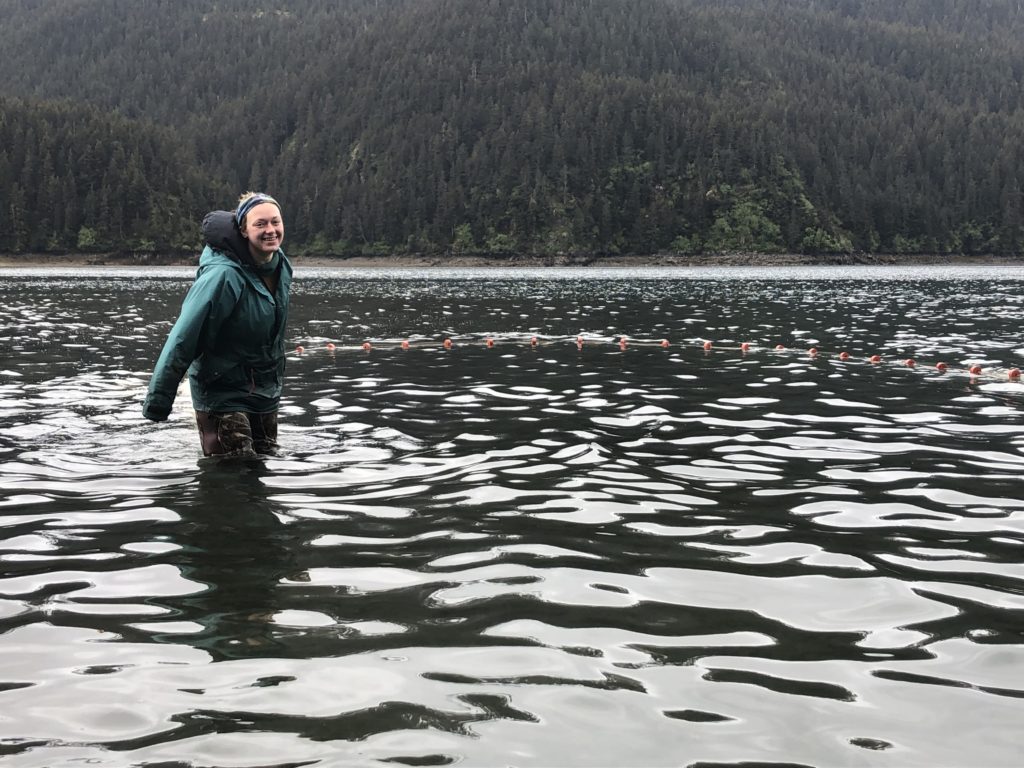
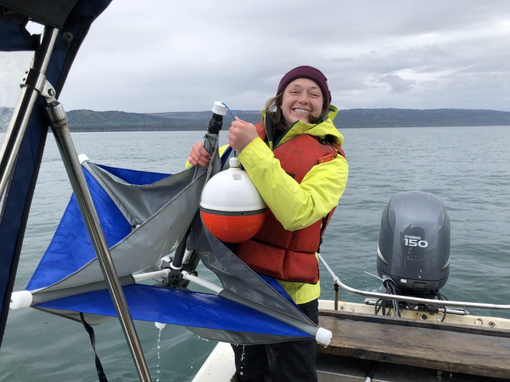
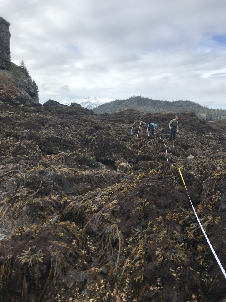
The following day I hopped off the boat, drove down to the south of POW and met up with some of the team. For the rest of the week I helped out with all of the intertidal sea grass surveying that took place every morning. Overall, my one week on POW was outstanding. Despite the extremely early wake ups at 2:00 and 3:00 each day to catch the low tides, I was able to help out a lot and have a great time with all the people there. For anyone interested in the science being done on POW, I definitely recommend checking out the APECS (Apex Predators, Ecosystems, and Community Sustainability) website to learn all about impacts of sea otters on ecosystems and marine resources. 

After working with the crew in POW, I flew back to Juneau for my final week and got ready to fly back home to California. This internship experience was five weeks of intensive cold water diving and field work, during which I learned new hands on techniques as well as participated in real applications of scientific processes I have recently studied in school. I undoubtedly learned more about myself and my future goals, and would like to thank the many people at OWUSS, AAUS, and the University of Alaska who made these opportunities possible for me. Thank you again to all who have followed and supported me on this journey!   


Share

Biscayne National Park: Coral Reefs, Seagrass, and Endless Mangroves

In the early 1950s, developers and conservationists fought over the future of the northernmost keys of Florida. Located by Biscayne Bay, developers envisioned building hotels, roads, and a large industrial seaport to support the growing population. The battle between the two groups raged on for many years, until 1968, when Biscayne National Monument was created. Expanded and re-designated as Biscayne National Park (BISC) in 1980, the park protects the ecological and historical resources found in Florida’s northern keys.

Upon arriving in Miami, Shelby Moneysmith, the Regional Dive Officer and a biologist at BISC, picked me up at the airport alongside Herve, her husband who works for the University of Miami in coordination with BISC. After a filling lunch, I unpacked at park housing and accompanied Shelby and Herve for a quick stop at a popular fruit stand (Robert is Here). The once small, fruit stand started in 1959 but has since grown into a huge operation which sells a wide variety of fruit and delicious milkshakes. My mango milkshake was especially delicious!

That evening, I met my roommate for the next two weeks. Originally from North Carolina, Devon received an internship to work with the interpretation department through the Historically Black Colleges and Universities Initiative. On Monday (Memorial Day), Devon and I took the free day to explore the grounds and the visitors center. While Biscayne National Park is approximately 180,000 acres, 95% of the park is water.

Due to weather, my dives on Tuesday and Wednesday were canceled. However, luckily on Wednesday, I was able to accompany Shelby and Elissa Condoleezza-Rice, a biological science technician, on one of their turtle nest monitoring trip. Every few days, six beaches along Biscayne’s keys are checked for loggerhead turtle activity. Loggerhead turtles reproduce every 2-4 years but often nest multiple times throughout the season (May-October). As an endangered species, the greatest threat to loggerhead sea turtles is the loss of habitat due to coastal development, predation, and human disturbance.

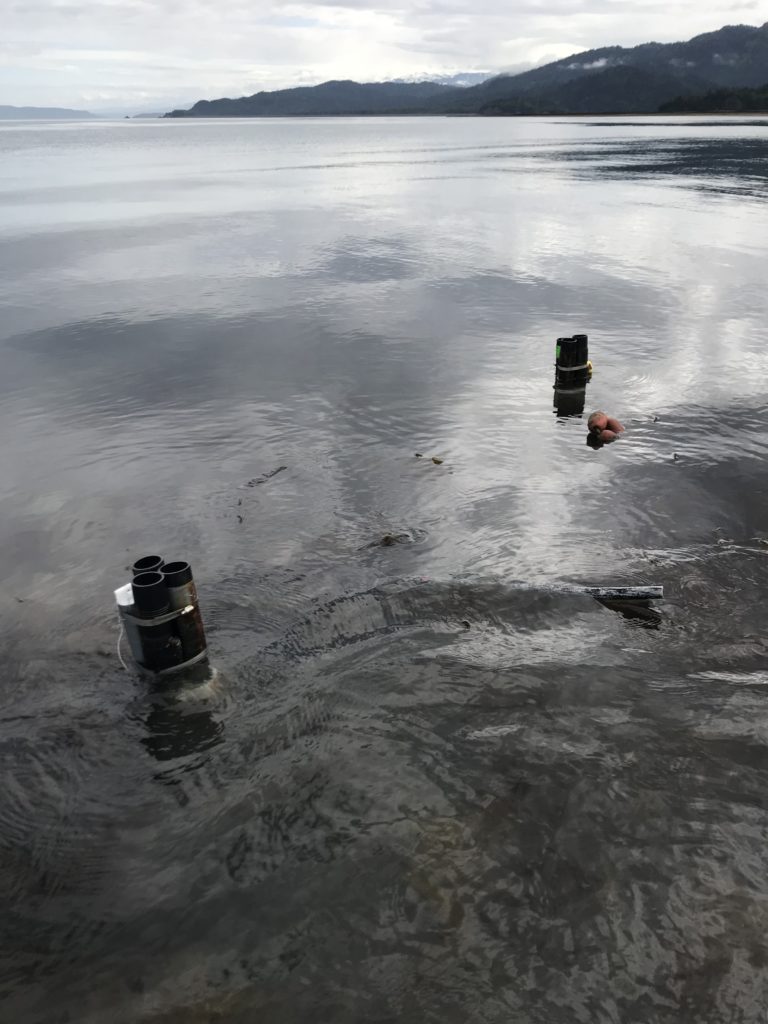
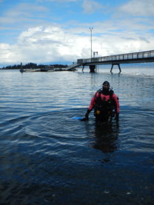
For turtle nest monitoring, we anchored near a beach, popped off the dive door, and waded towards the shore

After wading to shore at a few beaches and observing no activity, Shelby and Elissa found evidence of a false crawl on our fourth beach. When a female turtle crawls onto the beach to explore a nesting area but in the end decides to move on, this is characterized as a false crawl. At each false crawl, the surveyors marked the site, record location/site characteristics, and any additional metadata. This information prevents the surveyors from recounting the activity, and in case the false crawl ends up being a misidentified nest, they have the location for future monitoring.

Within a few more minutes, Shelby, Elissa, and I stumbled upon our first turtle nest. Compared to a false crawl, a nest was distinguishable because a patch of sand/vegetation was clearly disturbed as the loggerhead dug a chamber to store her clutch. At each nest site, we gently dug about an elbow deep into the sand to locate the clutch. Little contact was made with the eggs to limit the introduction of bacteria. To protect the nest, a screen was placed above the nest to protect the chamber from predation.

Hopefully, in about 60 days, little hatchlings will be crawling from this nest to the water

On Thursday, I finally participate in the diving operations at BISC. For two days, Arlice Marionneaux, an American Conservation Experience intern at BISC, and I planned on surveying several archaeology sites within the park’s borders. Checked every ~5 years for damage and looting, Biscayne National Park has over 120 archaeological sites. Most of these sites are known only by GPS coordinates. At each site, we used a map to locate pre-recorded wreck fragments including wood decking and ballast piles. Several sites had been damaged by Hurricane Irma, and on a few occasions, we were unable to find the marked artifacts.

Thursday was also filled with a multitude of boat problems. From radio issues to boat battery problems, our engine stopped working on a few occasions and forced us to throw anchor in a channel to prevent running aground. While stressful at the time, I learned a lot about boats and troubleshooting from Arlice.

On Friday, with a different boat, we headed out to finish several more archaeological sites. On our second of the four dives, Arlice and I visited the Lugano. Sunk on March 9, 1913, this British steamer was heading to Cuba with general cargo and 116 passengers when it grounded on Long Reef during high winds. Unlike the previous sites, the Lugano is a more exposed wreck site. While surveying the area, we observed a large diversity of reef fish, a nurse shark, and removed several fishing lines wrapped around gorgonians.

Located along BISC’s Heritage Trail, the Lugano is a well-preserved wreck inhabited by a variety of marine life

That evening, Dennis Maxwell, a park ranger at BISC, was kind enough to bring Devon and me on an evening kayak trip through the mangroves. With the visitors center in the background, Devon and I took off on the crystal clear water as the sun set over BISC. As we rounded the corner of a mangrove, we observed brown pelicans dive-bombing mullets riddling the shallow waters. To evade the pelicans, mullets jump out of the water. From our fluorescent orange kayak, the show as pretty spectacular.

Definitely one of the best ways to spend the evening at Biscayne National Park

Saturday morning began with a knock on my door. Terry Helmers, a volunteer at BISC for 31 years, asked whether I wanted to spend the day assisting with mooring buoys. With no weekend plans, I immediately jumped at the opportunity. Throughout BISC, there are 40+ mooring buoys along the heritage trail and various other locations to allow visitors to easily explore their park without damaging the marine habitat below. Replaced every year, these buoys can get damaged by hurricanes or boat engines. Mostly by freediving to 10-30 ft, Terry and Ana Zangroniz, another volunteer, spend several weekends at the beginning of the summer season replacing the buoys. While I had experience freediving for fun, I struggled to stay down for extended periods of time while also expending energy to unscrew bolts and remove caked on organisms. Terry, on the other hand, could unattached a buoy and bring it the surface in one breath. It was beyond impressive!

Replacing a float underwater to mark the location of a future buoy on the Heritage Trail – PC: Ana Zangroniz

In addition to replacing buoys at six sites, Ana and Terry let me snorkel the Mandalay. Sunk in 1966, this luxury-line from the Bahamas to Miami hit a shallow reef. All 35 passengers were rescued and scavengers later stripped the vessel. Sitting in shallow, clear water this well-persevered wreck is teeming with fish life. At the surface, hundreds of chubs surrounded you as you explored every small crevice of the vessel. In addition, I saw a midnight parrotfish. While relatively common in Biscayne National Park, when in Bonaire, I was the only member of my marine station to not see a midnight parrotfish after living there for seven months. Finally, after traversing the dang Atlantic, I could finally check a midnight off my list!


Unintentionally, we also collected a large amount of marine debris while out for the day. With limited fishing regulations and a crowded metropolitan city nearby, Biscayne has a sizable amount of marine debris. From plastic bags floating along the surface to abandoned crab traps scattered on the bottom, Terry, Ana, and I collected what we could.

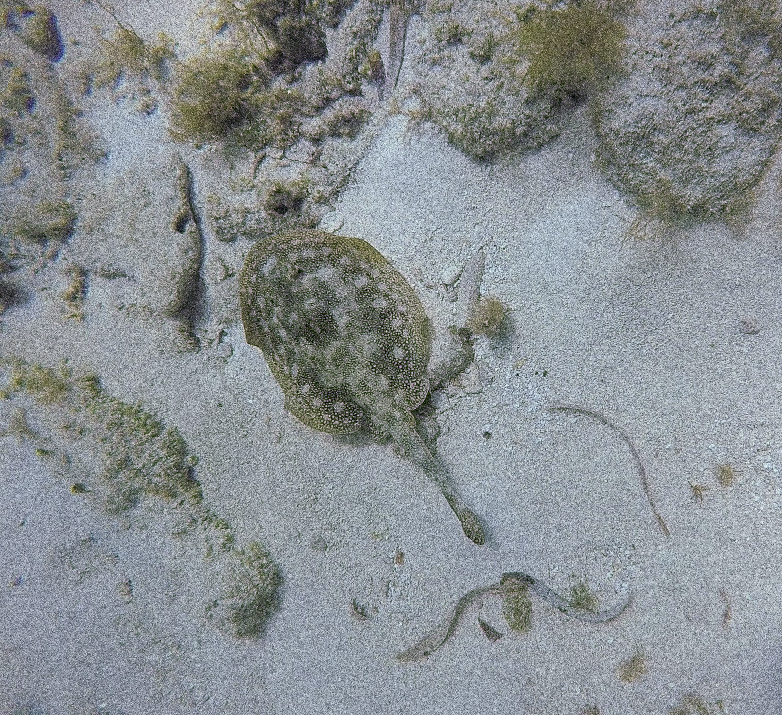
Following a relaxing Sunday, I traveled out again with Elissa and Hayley Kilgour, an NPS intern, to check for turtle nests on Monday. After observing Shelby and Elissa the previous week, I was excited to correctly identify two nests myself during the day trip. While returning to the boat, we also saw five juvenile blacktip reef sharks swimming through the shallows. In the shallows, we commonly saw stingrays or tiny fish but sharks were definitely a treat.

Aren’t they adorable? – PC: Elissa Condoleezza-Rice

On Tuesday, I assisted with the ongoing marine debris study. Previously, transect markers/floats were placed at 12 sites through the park for a lionfish removal study. After the study was complete, the natural resources department decided to use these sites to study the accumulation of marine debris. Marine debris is collected from each site once a year and the amount/type is recorded to estimate the overall accumulation. Every 6 months, markers are cleaned and damaged floats are replaced. While diving with Vanessa McDonough, a biologist at BISC, we were met with strong currents and a float bag that decided to prematurely travel to the surface. Fortunately, we managed to check the markers and to spear a few lionfish along the way.

Lionfish are carnivorous fish native to the Indo-Pacific. These beautiful fish were popular ornamental fish which were either intentionally released in the Atlantic and accidentally released due to storms. In the Atlantic, lionfish have no known predators, reproduce year-round, and compete with native fish for food and space. At BISC, biologists spear lionfish in hopes of reducing their numbers at the park. At the end of our day, we measured the total length of each lionfish and stored them in the fridge for future interpretation programs.


Elissa measured each lionfish while carefully avoiding their 18 venomous spines

After an eventful day in the field, I was starving. Jay Johnston, BISC’s education program coordinator, was kind enough to invite me and several other employees and interns to his house for Taco Night. Our evening was filled with chips and salsa, scrumptious tacos, and great conversation.

With Amanda Bourque, an ecologist for BISC, as my dive buddy, we completed two more marine debris site dives on Wednesday. Since these sites are apart of an ongoing study, we were not allowed to pick up any debris within the transect. Already within six months, these sites were covered in stray lines and crab traps that were hard to resist collecting.

Blue skies and calm waters….ready to dive!

Thursday was spent assisting with goliath grouper survey dives. Relatively uncommon within BISC, at previously chosen locations, 20 min roving diver surveys are used to search for this critically endangered species. Unfortunately, during our four dives, a Goliath was not observed. We did, however, manage to spear a bunch of lionfish even one that decided to hid under Elissa’s legs mid-capture.

My final day was spent monitoring the turtle nesting beaches. With no new nests, Elissa, Hayley, Suzy Pappas, and I decided to perform a short beach cleanup on Tannahill. Suzy runs a non-profit organization called the Coastal Cleanup Corporation whose mission is to remove marine debris from Florida’s coast and educate the public. She volunteers with the turtle monitoring group at Biscayne and often sponsors beach cleanups throughout the year. During our quick 30-min beach cleanup, the four of us collected 10-12 full garbage bags of trash ranging from glass, buoys, and microplastic.

Cleaning up the trash and hopefully making more space for turtle nesting – PC: Suzy Pappas

After returning to headquarters and disposing of the trash, I was greeted by several individuals from the natural resource management department. Apparently, while Herve and Austin were collecting samples for water quality analysis earlier that morning, they came across a 3 m Burmese python hanging off the buoy about 1.4 miles offshore. Vanessa, Elissa, and Herve worked together to restrain the invasive species and get an accurate length measurement. My fear of snakes definitely prevented me from jumping in to help wrangle the creature.

Vanessa, Herve, Elissa, and Hayley handled the ~17 lbs animal

In the early hours of Saturday morning, Shelby and Herve drove me to the airport so I could continue my adventure. Three flights, lots of snacks, and almost a full day later, I would arrive in Honolulu, Oahu. From there, I would take a small plane to my next destination, Kalaupapa National Historical Park.

Thanks to all the great people who made Biscayne National Park feel like home for two weeks!

Quick facts about BISC:

  • Park has four distinct marine ecosystems: a fringe of mangrove forest, southern expanse of Biscayne Bay, northernmost Florida keys, and portion of the third largest coral reef
  • Fishing and other harvesting activities are dictated by state law within the park boundaries
  • Home to many protected species including the Schaus swallowtail butterfly, American crocodile, five species of sea turtles, and elkhorn and staghorn coral
Share

New Adventures Start Here.

While in Maine opportunities come both under and above the surface. When I’m not diving, I have the chance to explore the state of Maine. This past weekend I decided to venture north and explore Acadia National Park. One fun fact about me is I am an avid road cyclist, so much so I had to bring my bike to Maine for the summer. So, when briefly researching Acadia and what to do over the weekend, I read about the carriage roads. These roads were commissioned by John D. Rockefeller from 1913 to 1940. These 57 miles of compacted smooth gravel roads are perfect for runners, walkers, bikers, and even the occasional horse-drawn carriage. My weekend was filled with numerous miles on my bike exploring the trails and taking in all the beauty that Acadia had to offer. The highlight of the trip was climbing to the peak of Cadillac Mountain which had spectacular views of the coast and Bar Harbor.

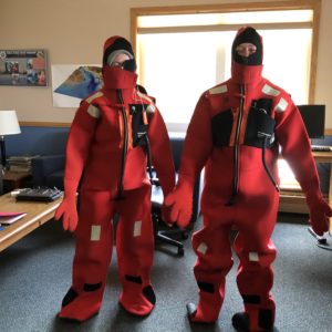
After the great weekend, it was back to work. Doug had signed Courtney, a summer intern at Bigelow also working in the lab, and myself up for a boating course. In the event one of us needed to drive the boat we would have the proper training and knowledge of the high seas. The class was two days and consisted of learning the entire US Coast Guard “Navigation Rules and Regulations Handbook,” survival procedures for cold water environments, a multitude of anchoring methods, and how to read and plot on charts.

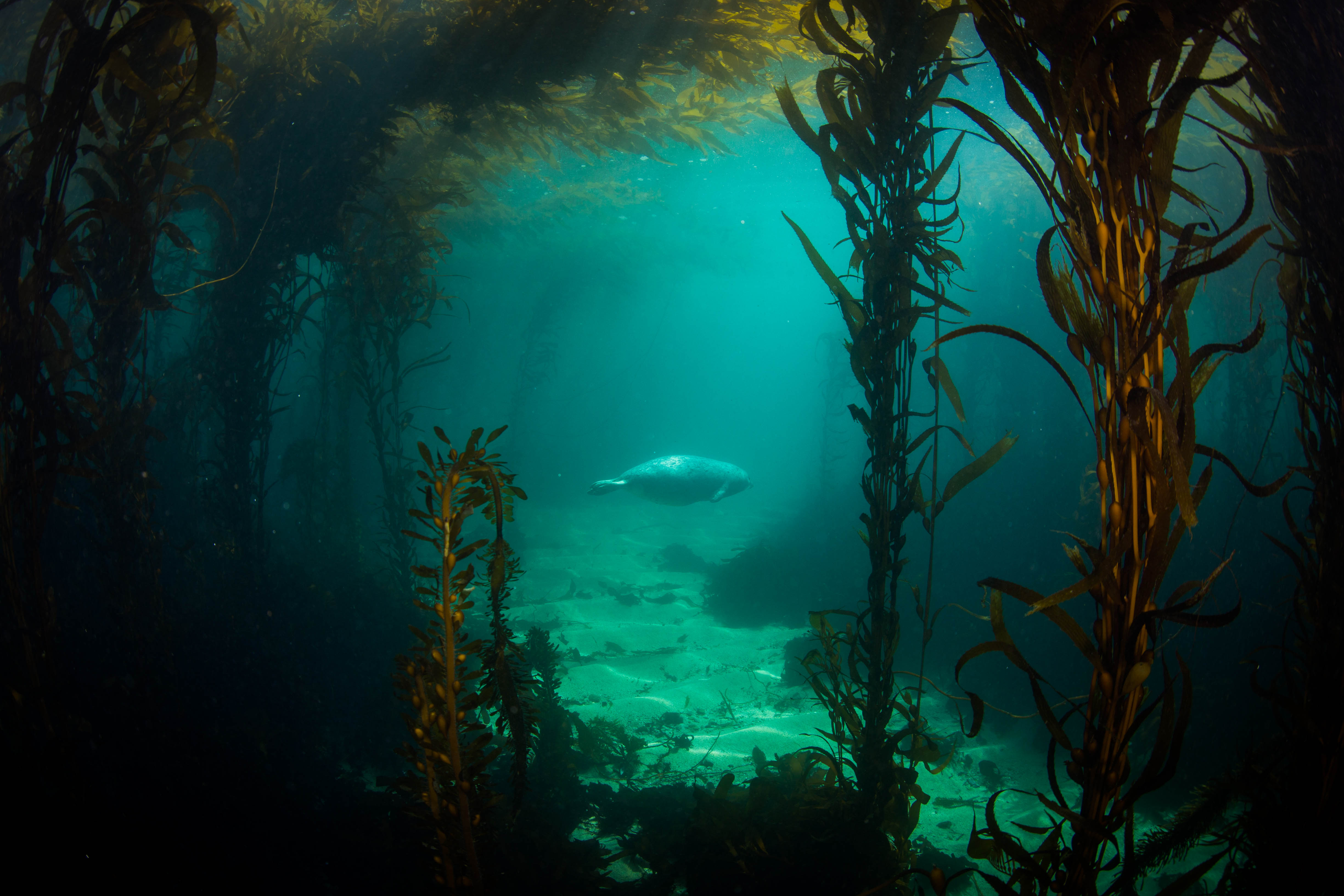
After the two days of the boating course, I had my AAUS class at the Darling Marine Center. Before each class, we have designated reading material from either PADI or SDI. Our class time is spent reviewing these readings and Chris Rigaud usually gives a quick PowerPoint lecture on this week’s scientific diving skill. This week class was short due to the high tide coming in at 11:15 a.m. Here in Maine and especially around East Boothbay, the tides rise and fall over nine feet! Therefore, it is essential to get out during high tide when we have the most water. We had two dives planned in which we would be reviewing our navigation and buoyancy skills, along with other small tasks. Our first dive was fairly shallow at 30ft with the water temperature reaching a chilly 51oF. During our first dive, we practiced mask removal and replacement along with buddy breathing. Chris teaches a more rigorous buddy breathing than in normal SCUBA classes. Buddy teams must share only one regulator taking two breathes and passing it to their buddy that is holding their breath. (Well not really holding their breath because we all know the number one rule in diving — never hold your breath!) The buddy team must safely ascend using this method. After practicing these skills, we were released to plan a quick dive while floating on the surface. The only stipulation of this dive was to navigate back to the departure point.  We planned a short out and back dive along a nice kelp wall with massive kelp completely shading out the bottom. Lobsters and crabs scurried and hid as we passed just overhead.

After a one hour surface interval, we were back for our second dive. The sole purpose of this dive was to try and prefect our buoyancy and streamline our dive set up. Chris had set up two hula-hoops just big enough for a diver to squeeze through without touching the sides. In many buoyancy classes, students swim through swim rings or swim squares at fast speeds. Chris implored us to try and inch our way through, stating: “Anyone can maintain neutral buoyancy swimming Mach 3, but it takes real skill and control to go slowly through it.” The ultimate goal was to stop and hover exactly in the middle of this small hula-hoop a task I could not complete. These 25 minutes of us having fun and practicing our buoyancy is something many divers don’t give themselves. Most divers whether it be recreational, commercial, or scientific usual have some objective of the dive – exploring a reef, repairing a pipe, or sectioning the bottom. Most people do not dive just to try and work on their dive skills. I enjoyed and valued this practice time and hope to dedicate more time throughout this summer and in my life to working purely on such skills.

My first dive at Bigelow and in front of Doug and Thew was a bit anticlimactic. Due to unforeseen issues, we have yet to start collecting field data on the kelps, so this dive was primarily a check out dive for Thew and myself. Thew especially, wanted to make sure his gear was in working order and his new drysuit seals were properly trimmed. We used this dive to get oriented with each other’s equipment, weight systems, dump valves etc.. The second goal for this dive was to practice the sampling methods that I would need to carry out on a dive. The dive was short, around 20 minutes at 20 feet. The sampling method had us run out a 25 meters transect line on the bottom. Using the half meter quadrats I made, I would start at the beginning of the tape measure and lay my transect on the bottom. Any kelp stipe (the root) originating in the half meter transect was to be cut and put in the collection bag I carried with me. I would replicate this process four times – at the 2,4,6, and 8 meter mark on the meter line. The dive was successful because 1) Thew and I both gained knowledge of each others dive setups, and 2) I felt confident in the sampling procedures that I would be conducting independently on future dives.


Thew (left) and Doug (right) laying out all of their gear checking it over before going in the water.
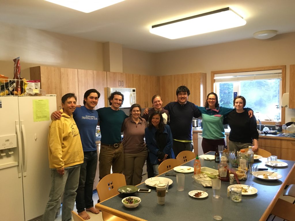
To end the week, Bigelow had a BBQ on Friday for all of the employees and interns. During the BBQ there were the “Lab Olympics” going on, which had different wings of the building competing against each other in different oceanographic themed challenges. The BBQ was a good way to meet other people who worked at Bigelow and to get to know Doug and Thew on a more informal level.

From left to right: Myself, Doug, Doug’s daughter Betsy, Thew, and Courtney.

Next week we start conducting our kelp surveys. Doug, Thew, Courtney, and I will be going on a three-day dive trip to Hurricane Island to do the work.

Thank you to Our World Underwater Scholarship Society, American Academy of Underwater Sciences, and Bigelow Laboratory for Ocean Sciences for giving me this great opportunity.

-Shane

Share

Statistics, Cylinders and Chambers, Oh My!

Last week was one memorable week here at DAN! I nicknamed it “field-trip” week since most of the week was spent going to different places and experiencing new things. The three places we visited were SAS, Luxfer Gas Cylinders and the Center for Hyperbaric Medicine and Environmental Physiology (also known as the Duke hyperbaric chambers).

SAS is a data-analysis company to which customers can submit data for SAS to identify trends they need to monitor. Different types of companies, both local and international, utilize their services, including the city of Durham, Lufthansa Airline and even the transportation departments in North Carolina. The campus where the company is housed is humongous, as big as a college campus! They also have a broad range of services for employees, from gyms to health clinics they can visit.

The next field trip was to Luxfer Gas Cylinders in Graham, North Carolina. Here, we did two things: took a class and a toured the cylinder-manufacturing facility. The class was the Professional Scuba Inspectors (PSI) visual cylinder inspection. Our amazing teacher was Mark Gresham, president of PSI. The group went over so much important content, but there were plenty of interesting stories and hands-on examples that helped break up the course and enhance our understanding of what he was teaching us. During the tour, we went from beginning to end to see how the cylinders were manufactured, packaged and shipped. They start off as small aluminum blocks, and with some squishing and painting, they turn into cylinders. I am now certified as a visual cylinder inspector, which, in the words of Mark, “puts another feather in my hat.”

The last field trip we went on was probably my favorite and the most anticipated: the Duke Chambers. I had heard about how massive and impressive the chambers are, and seeing them in person was surreal. There are seven chambers in total, and they are all attached to each other in some way. We were able to go into most of the chambers, but one chamber had patients going through treatment, so we observed from outside. I had always thought chambers were just used for divers, so it was interesting to see non-divers with non-diving-related problems being treated in the chambers. The staff also shared the story about how and why the chamber was built. Its original purpose was for open-heart surgery, but by the time the chamber was finished, the heart-lung machine had been developed, making the chamber’s original purpose obsolete. As of today, there are 14 indications for hyperbaric treatment, so it was not built for nothing after all.

This week was full of new experiences, and I cannot wait to see where the rest of my time here takes me!

Share

Hello! My name is Emily Hellmann, and I am this year’s Our world Underwater Scholarship Society Divers Alert Network (DAN) Diver Safety Education intern. A little background on me:

I am 22 years old and from Manassas, Virginia. I have been diving since I was 11, but I’ve been surrounded by the sport since I was little, as my dad is a scuba instructor trainer. Because of my diving experiences, I have always wanted to do something with the ocean in my future career. When I started college, I naturally picked marine biology as my major at Old Dominion University. But after a couple of math classes, I changed to Earth Science Education. It was bittersweet, because it was not what I originally wanted to do, but I would still be involved with the ocean. It was this past semester that I realized I was moving toward what I was meant to do. Watching kids get excited to learn about marine processes really hit it home. If I can get more young people excited about the ocean, then as they grow up, there will be more older people who care about the ocean.

The switch also led me to this AMAZING internship, which includes the best of both of my worlds: diving and education


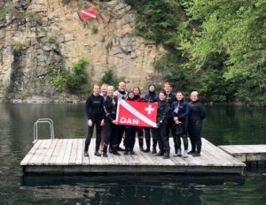
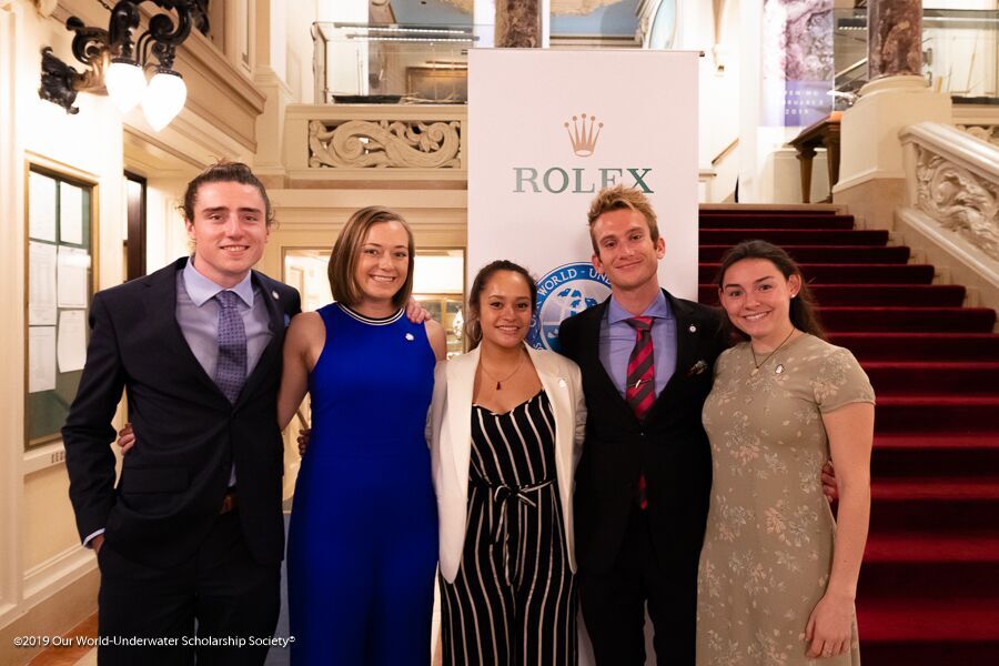
Alex, Chloe, Yann, myself, and Burnley after completing our training!

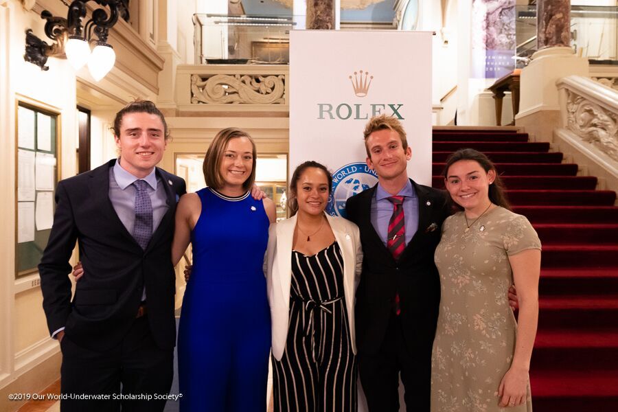
My first week lined up with the visit of the Our World Underwater Scholarship Society’s North American Rolex Scholar, Yann Herrera. During this week, the DAN Research interns and myself were able to tag along with him to each department in DAN to hear about what they do. We met with the medics, researchers, the teams from membership, liability insurance, communication and marketing, plus IT, and so many more! It was very interesting to be able to meet all the people who make DAN work and to see just how important they are to the diving community.

Another great opportunity I had this week was to go through the Diving First Aid for Professional Divers (DFA Pro) course, taught by Patty Seery, DAN’s director of training. It was a very long but rewarding course. We practiced all skills in the course in a very hands-on manner, from neurological assessments and how to care for hazardous marine life injuries to CPR, first aid and, most importantly, emergency oxygen for scuba diving injuries. It was a lot of fun and I learned a lot. It was a great course!

Reilley and Patty demonstrating two-person CPR

My “sea-urchin” injury

Yann with his “jellyfish” injury


Share

Channel Islands National Parks: Exploring the Majestic Kelp Forests

With Denver in my rearview mirror, I flew into LAX ready to visit my first park. Headquarter in Ventura, California, Channel Islands National Park (CHIS) is composed of five spectacular islands and their surrounding marine environment. Created in 1980, the main goal of this National Park was to protect the diverse terrestrial and marine ecosystem of the Channel Islands.

After a shuttle ride along Highway 101, I was met by Joshua Sprague, a marine ecologist for CHIS. He graciously showed me to my accommodations for the evening, the Sea Ranger II. The 58-foot research vessel would be my home for the next six nights. On this fine Sunday evening, the boat remained docked behind the Visitors Center. With the crew not arriving until early Monday morning, I spent the evening exploring the harbor, walking the beach, and learning how to not bang my head into every overhang on the Sea Ranger II.
Beautiful view as I walked along the beach across from the Channel Islands National Park Visitors Center

In the morning, the members of the long-term kelp forest monitoring project began trickling in. After organizing our gear and stocking the kitchen with a healthy supply of snacks, we bid farewell to our loud barking neighbors (i.e. the California sea lions) and headed towards our first site of the week along Santa Cruz Island’s coast.

The Kelp Forest Monitoring (KFM) Program at CHIS is an extremely impressive, complex operation. Starting in 1982, the program initially monitored 13 dive sites around the islands but as of 2005 has expanded to 33 sites. The marine ecosystem surrounding CHIS supports over 2000 species. Each year from May to October, these 33 sites are surveyed to collect the size and abundance information of 120+ species of marine fauna (e.g. algae, invertebrates, and fish). The data allows researchers to examine the kelp forest’s health and monitor ongoing changes to the environment. KFM was not created with the intent of answering questions. The data from the program is public record, and the identified baselines are used to help establish marine protection protocol. Currently, 20% of CHIS waters are considered state marine protected areas. In addition to the KFM program, Channel Islands National Park supports a wide variety of other programs that focus on the overall health of the park resources (e.g. intertidal, pinniped, bird, and invasive plant monitoring).

With a rougher Pacific Ocean passage behind us, we arrive at our site for the day, Pedro Reef– Santa Cruz Island. Not located within an MPA, the dive site is barren and uninhabitable. The lack of kelp at this site can be attributed to overfishing. When predators of sea urchins are overfished, their population size increases. As herbivores, urchins consume the kelp that provides food and habitat to other marine organisms.

Topside view of Pedro Reef- Santa Cruz Island

Having just completed my blue card certification in Colorado, I still had to finish the open water portion. For this, David Kushner, the Regional Dive Officer and head of the KFM program, ran me through several underwater skills. While the low visibility had me a little disoriented at first, I am proud of how I handled my first open water dive in a drysuit and my first dive in the Pacific Ocean. Getting out of the water was another feat entirely. With the waves rolling and about 20 lbs. resting on my hips, let’s just say I rolled onto the boat platform rather than gracefully glided. Definitely not a picture worthy exit. As part of my exam, I was also supposed to perform a surface swim. However, due to a recent great white shark sighting, it was decided that me swimming across the surface in a brown drysuit might appear too seal-like.

After finishing my dive and realizing that my drysuit didn’t actually manage to keep me dry, I spent the remainder of the day assisting topside as the KFM crew finished collecting data. From band transects to roving diver fish counts, a multitude of different surveys are performed at each site to observe the fish, invertebrate, and algal communities. Water temperature is recorded, and a video transect of each site is captured for historical reasons. The imagery allows the KFM members to visually look back on the 33 sites visited each year during their survey season. One of the most impressive survey protocols used by the KFM program is Random Point Contacts (RPC). In a full-face mask attached to surface supplied air, a diver travels along the transect and at random points calls out the organism covering the substratum. The full-face mask allows the diver to communicate with the surface support person and the need for a slate is eliminated. Such a technique, allows a massive subset of data to be collected in a shorter amount of time.

Kenan Chan (surface support person) records benthos information communicated to him by Cullen Molitor (diver)

In the evening, Captain Keith Duran anchored the Sea Ranger II at Smuggler’s Cove. We ate a lovely dinner, and then I watched as the crew checked and consolidated the data collected at Pedro Reef. Each evening of the cruise, the team spent 1-2 hours discussing the site in detail. They recorded any anomalies and worked together to create a species list for the site (ranking species based on their prevalence).

On Tuesday morning, with the anchor pulled at 7:30 am, Captain Keith drove us to our second dive site of the week, Landing Cove – Anacapa Island. Tuesday’s dive site was located in a marine reserve established in 1978, the oldest in California. Diving this site provided a unique contrast to the urchin-dominated Pedro Reef where we spent the previous day. Landing Cove also gave me my first opportunity to observe the diverse kelp forest habitat in its full glory. With a leaking drysuit, I was fortunate enough to borrow Cullen’s extra 7mm. The suit definitely kept me warm and the camouflage pattern was a great fashion statement. On my first dive, I accompanied Merrill McCauley, a park ranger, as he completed a macro survey. Macro surveys involve counting stipes on 100 giant kelp (Macrocystis pyrifera) along the transect line. During the second dive, I followed Luis Hernandez and Merrill through the towering kelp as they performed 5-m transects. Since I had no experience identifying the fauna at CHIS, by the second day, I was still too green to contribute to official data collection.


Topside, I assisted Kenan, Luis, and Cullen as they measured 100+ sea urchins brought to the surface. Safely returned to their homes on the subsequent dive, these sea urchin measurements allowed the team to understand the population dynamics of the three common sea urchin species found in CHIS: purple sea urchins (Strongylocentrotus purpuratus), red sea urchins (Strongylocentrotus franciscanus), and white sea urchins (Lytechinus anamesus).

One urchin, two urchin….white urchin, purple urchin

Following a productive day of diving, the seasonal interns and I explored Anacapa Island. This small desolate island becomes a dense, western gull breeding ground from May to July. Anacapa supports the largest protected breeding colony of western gulls in the world with over 10,000 individuals. While we enjoyed the amazing views and the baby seagulls, Erin Jaco, unfortunately, learned the hard way that these birds sometimes use their poop as a foul weapon.

From the roof to the island’s sign, no place is untouched by the western gull population on Anacapa Island

OWUSS Intern + Seasonal KFM Interns (Cullen, Erin, Luis, and Kenan)

On Wednesday morning we anchored at Cavern Point – Santa Cruz Island. Located in an MPA established in 2003, this site gave me the opportunity to contribute to the data set for the first time. Luckily, the previous evening, Cullen was kind enough to help me patch my drysuit. And thankfully, his repair was successful. On my first dive, Merrill and I performed macro counts and measured gorgonians. For the second dive, Captain Keith and I were given the opportunity to explore. I became enticed by the spectacular invertebrate community at the site. From the sea cucumbers to tunicates, these are creatures that you don’t notice when you are focused on counting Macrocystis stipes or searching for the next gorgonian to measure. Keith and I also saw several massive California sheephead (Semicossyphus pulcher). Overfished in some regions of the park, the KFM program has found that targeted marine fish, such as sheephead, have larger average lengths within MPAs. And bigger fish means there are more eggs.

Topside view of Cavern Point – Santa Cruz Island

Graced with a few more hours of daylight, the group explored Santa Cruz Island. The largest of the Channel Islands is split between the National Park (24%) and The Nature Conservancy (76%). Docking at Scorpion Anchorage, we hiked 3.5 miles (roundtrip) to a vantage point of our day’s dive site. Compared to Anacapa, this island was covered in green vegetation and rolling hills. While on the island, island foxes, a unique subspecies, ran along the campsite trails. Living on six of the eight islands, these foxes are 1/3 smaller than their mainland ancestor.
Rolling hills of Santa Cruz Island

Located in a marine conservation area established in 2003, Thursday’s dive site: Keyhole – Anacapa Island, is closed to all fishing except recreational/commercial lobster and pelagic fish. Unique to this data collection day, Merrill and I spend one of our three dives measuring the bat stars (Patiria miniata) that riddled the site along the transect line.

Look, it’s me! PC: Merrill McCauley

Since Friday marked the end of the KFM trip, the team did not have sufficient time to visit another survey site. Instead, we used the morning to complete a 90-foot dive at Yellowbanks – Santa Cruz. Open to all fishing, this kelp-less landscape is dominated by brittle stars and enormous sea urchins. Previously a home to abalone, the only evidence of this species was a large shell trapped in a discarded lobster trap entangled on the ocean floor. Upon completing the dive, we were accompanied by common dolphins as we traveled back to Ventura.

Calm waters led the way to CHIS Headquarters

By the end of the KFM trip, I had learned a lot. My buoyancy with a drysuit had drastically improved, and my entry/exit from the water was nowhere near as clumsy as my first day. When I arrived, I have to admit I was intimidated by the amazing, dedicated divers of the KFM program. To collect data vital to the park’s records, they performed long dives several times a day often in limited visibility and current. I learned a lot from them and enjoyed getting the opportunity to dive all week in this lovely park. I even had a fantastic drysuit hand tan to show for my first national park of the summer!

Like my first night in Ventura, my final night was spent on the docked Sea Ranger II surrounded by a chorus of barking sea lions. After almost missing my shuttle back to LAX, I arrived hours before my flight and got the chance to catch up with a close, college friend, Chloe Von Helmolt. In the evening, I headed back to the airport in search of warmer waters. Biscayne National Park about an hour south of Miami, Florida would be my next destination. While I enjoyed kelp forest diving, tropical waters were calling my name as I boarded my red-eye in search of the sunshine state.

Thanks again to the amazing Kelp Forest Monitoring team!

Quick facts about KFM Program:

  • Longest established marine inventory and monitoring program within the National Park Service
  • Over 400+ divers have assisted with the Kelp Forest Monitoring Program
  • Have been able to map the spread of several invasive species (e.g. Sargassum horneri)


Share