“Something will have gone out of us as a people if we ever let the remaining wilderness be destroyed… we simply need that wild country available to us, even if we never do more than drive to its edge, and look in.”
– Wallace Stegner
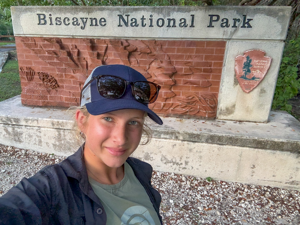
This fitting quote is the last thing people view at on the boardwalk jettisoning off the Visitor’s Center of Biscayne National Park, where you are, quite literally, standing on the edge of “wild country”. In this case, it is more of a wild ocean, but this interpretive sign marks one of the furthest points into Biscayne you can travel to without a boat (unless you happen to fancy yourself an Olympic swimmer). For many, Stegner’s observation is true; even without access to the “wild” part of Biscayne, many people still enjoy relaxing or fishing off the boardwalk, seeing dolphins pass by and turtles pop up, and watching sunrises and sunsets.
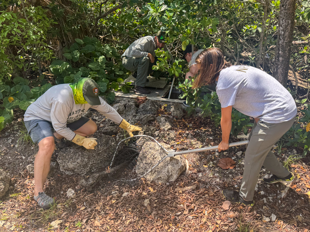
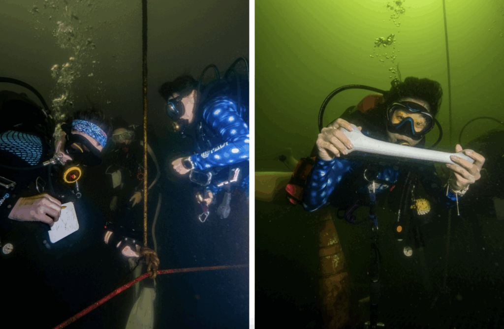
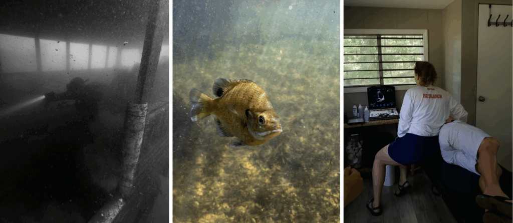
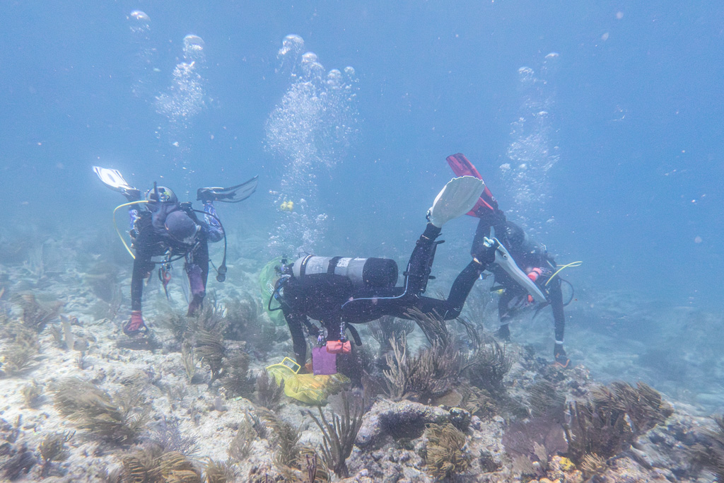
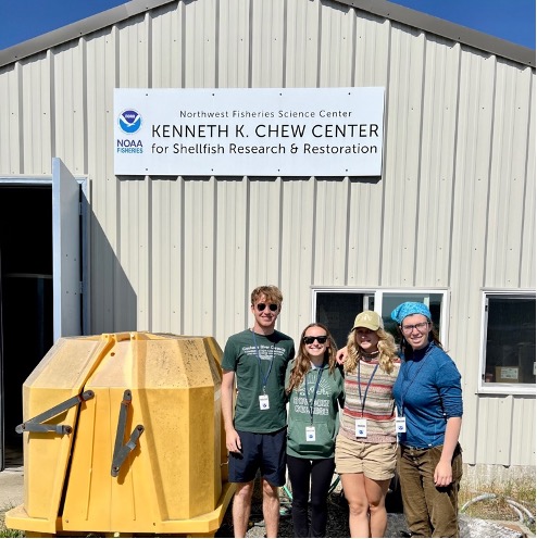
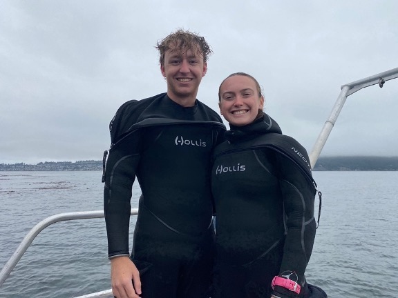
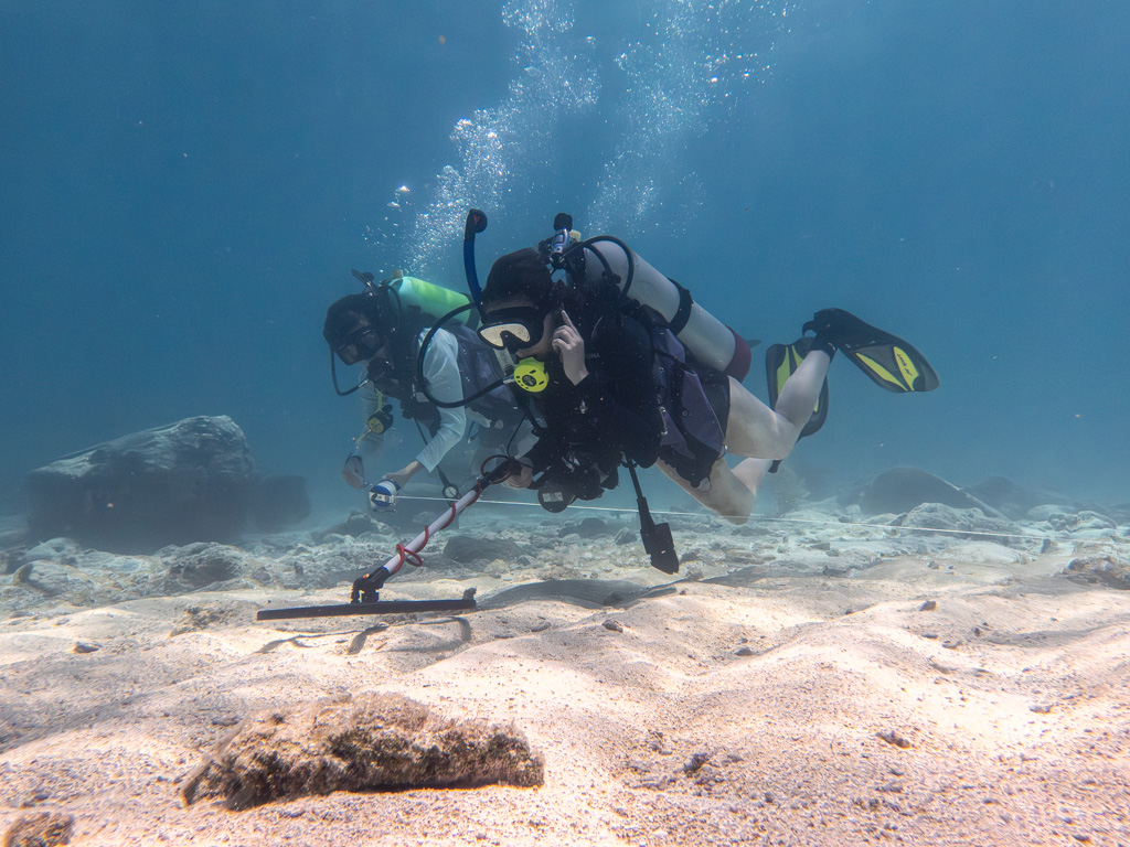
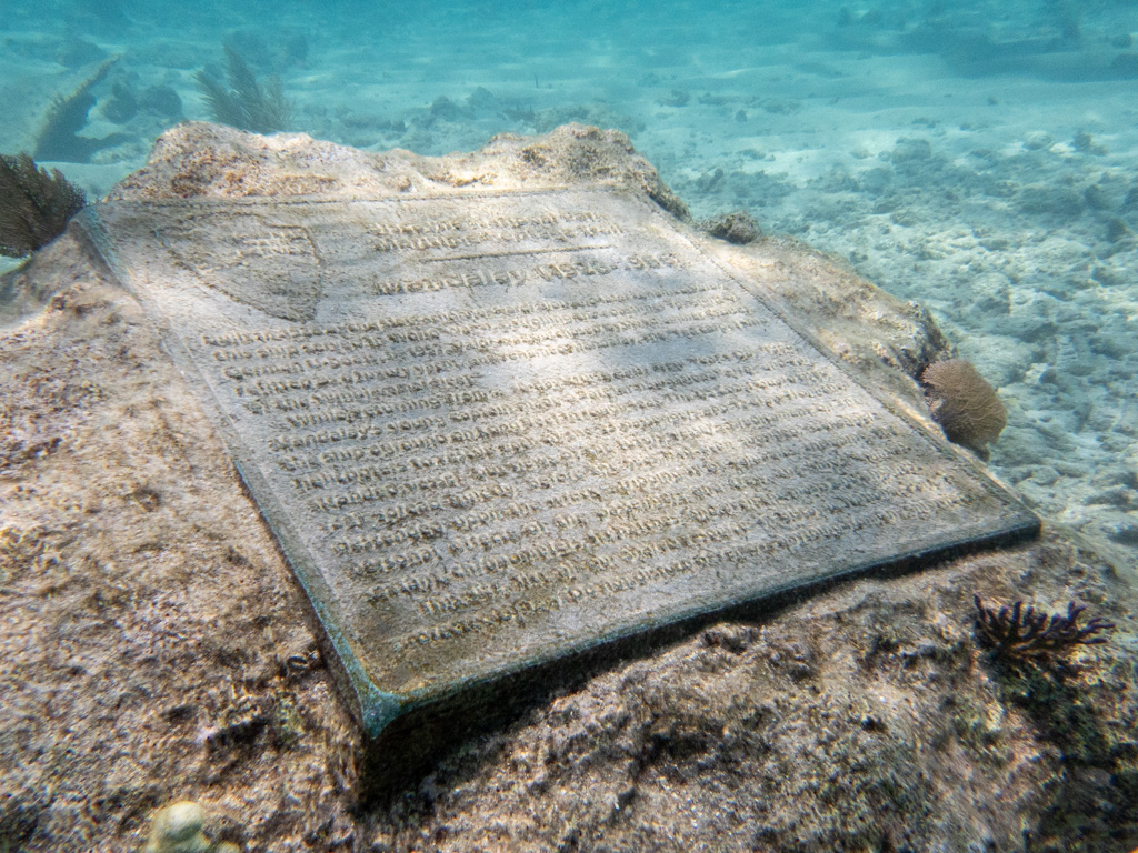
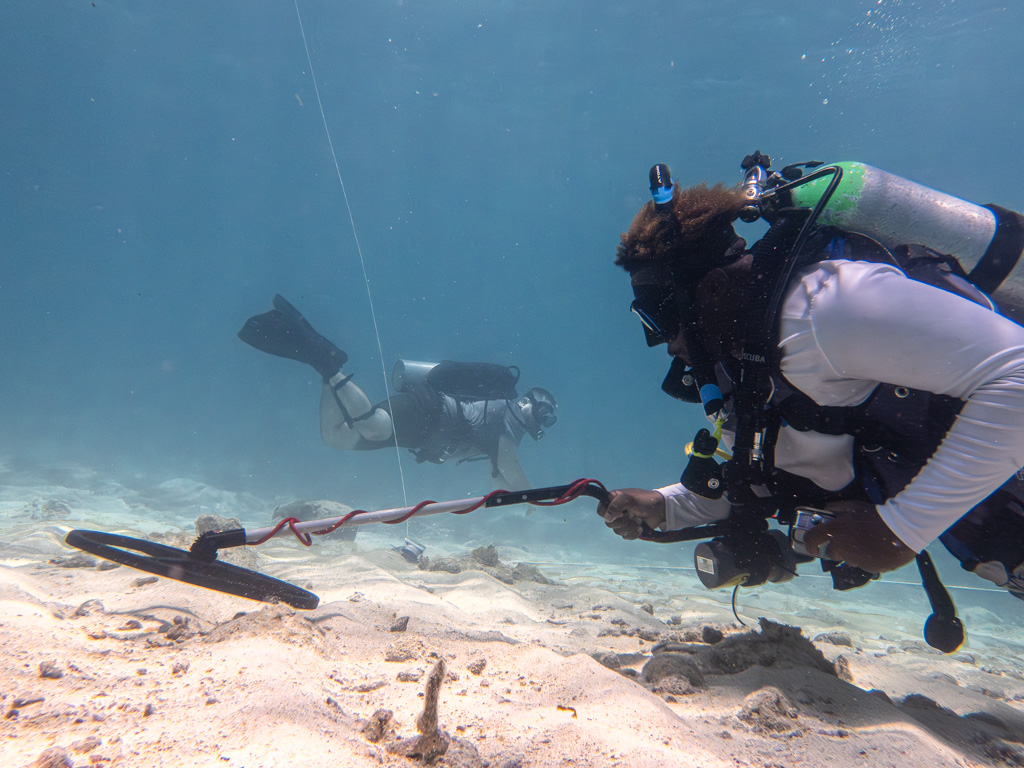
What lies beyond is not always easily or equitably accessible to the American people, even if it belongs to all. Biscayne National Park, alongside the Smithsonian National Museum of African American History and Culture (NMAAHC), is trying to change that. To start off my last week at Biscayne, I had the opportunity to join Josh Marano, Mark Vadas, and Gabrielle Miller with their Junior Scientists in the Sea (JSIS) group. Josh and Mark are archaeologists at Biscayne, and Gabrielle is an archaeologist at NMAAHC and a founder of the Slave Wrecks Project (SWP). SWP is an “international network of institutions and individuals that investigates the history of enslaved Africans across the globe, and engages with the enduring legacies of that past in the present (Slave Wrecks Project).” I get to join Gabrielle, Josh, and Mark in the classroom where they teach a course on Marine Archaeology techniques to the JSIS students. Students then go out and practice using equipment under supervision at the Mandalay wreck.
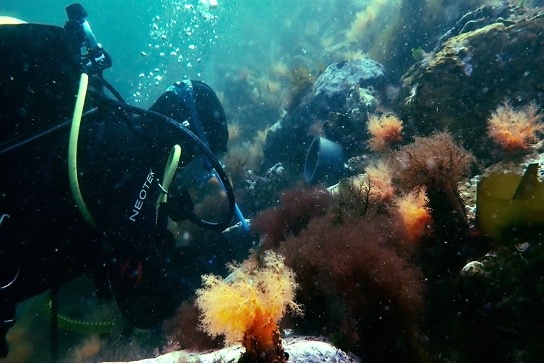
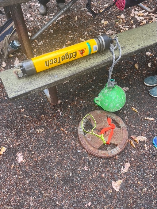
I was excited to be able to go to their workshop, since I was hearing a lot of big, scary words like photogrammetry thrown around during my time in Denver. I’m still confused, but the word is less scary, and you really shouldn’t be asking me, any one of the young people in JSIS can tell you!
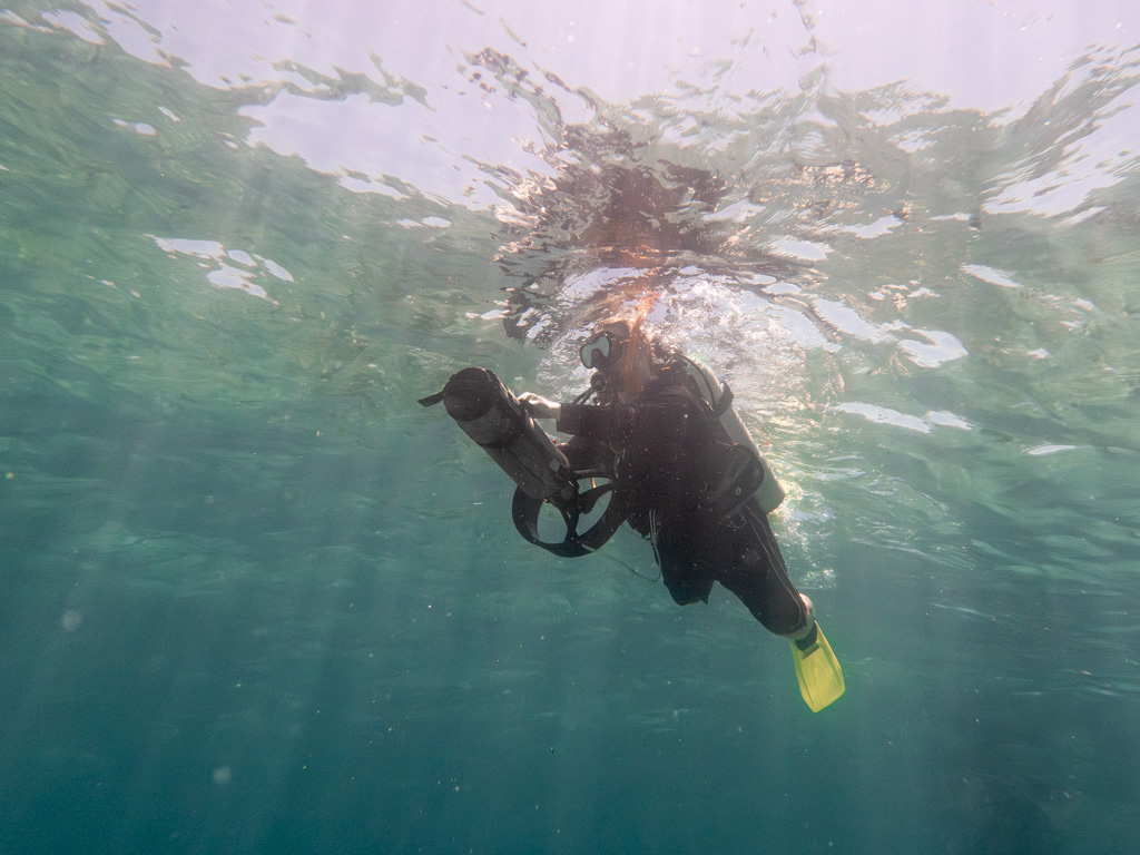
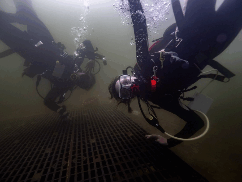
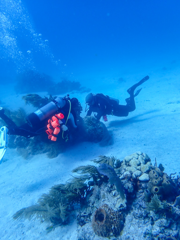
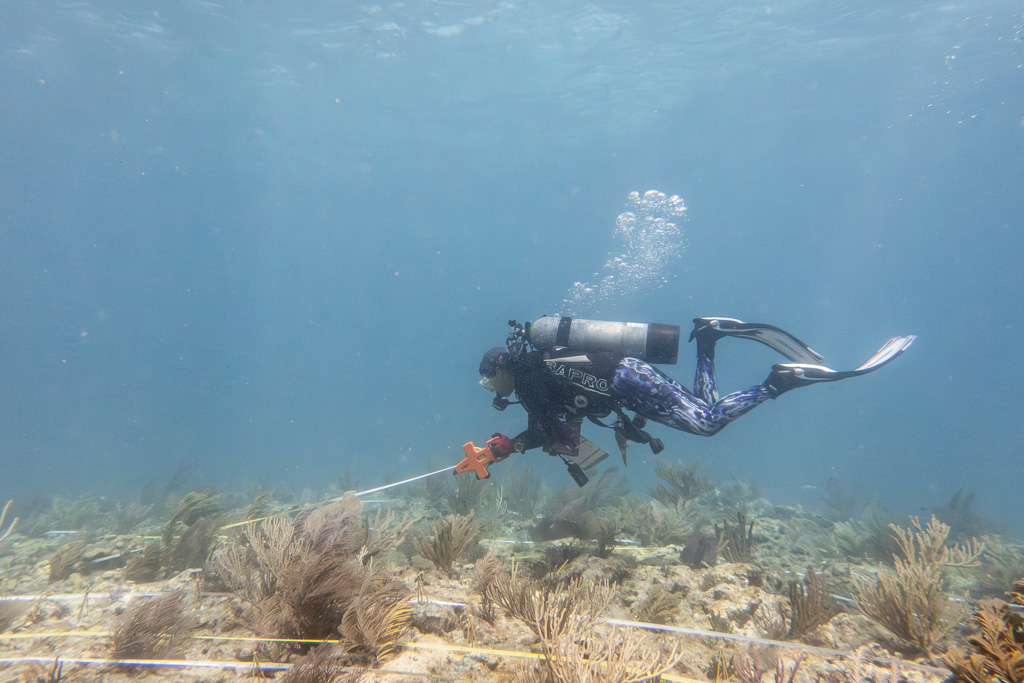
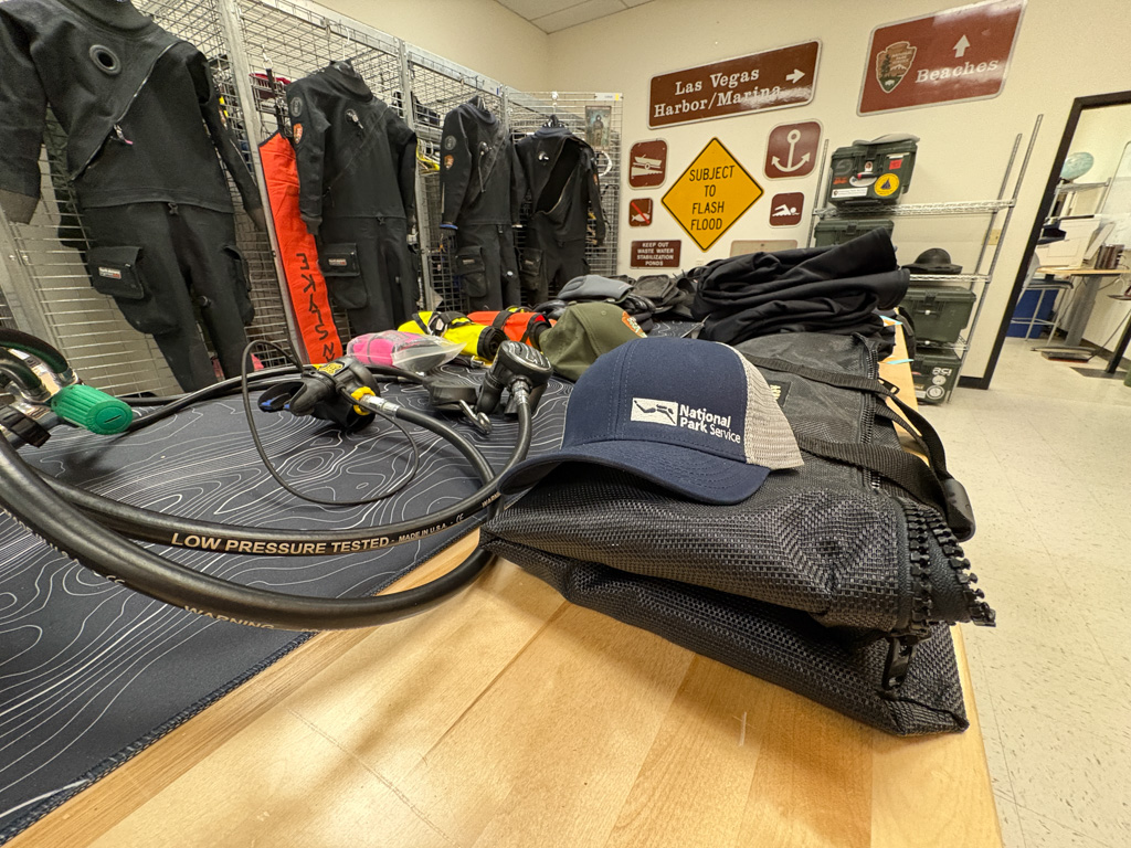
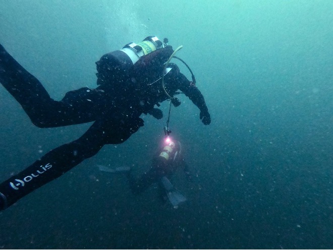
I get in some more practice with my camera while observing their training dives, and I must say the scooters looked pretty fun. Unfortunately, I suffered through the beginning of a battle with food poisoning later that day. It’s been a long time coming after my years of eating expired cheese and sun-warmed turkey sandwiches, but if you ever meet me in person, I have a horrifyingly funny story to tell you. Sadly, I had some more bad luck the next day in the diagnosis of an ear infection, which means a week of no diving and, of course, the forecast shows incredible conditions for the rest of my time at Biscayne.
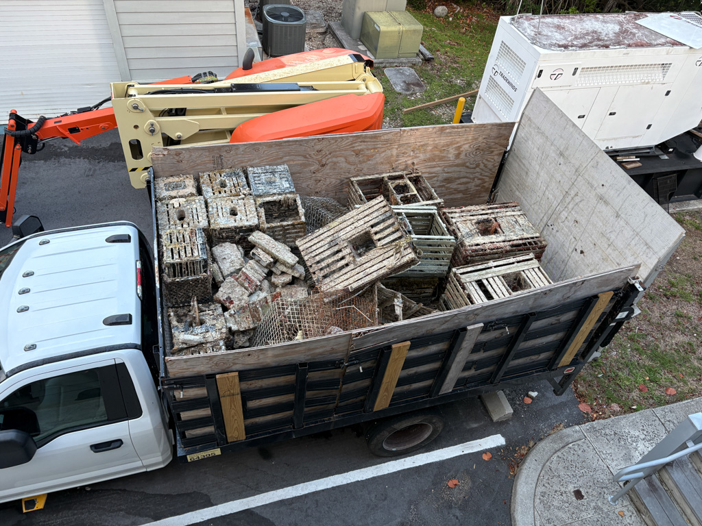
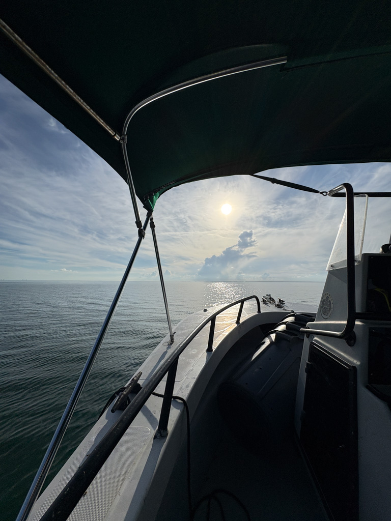
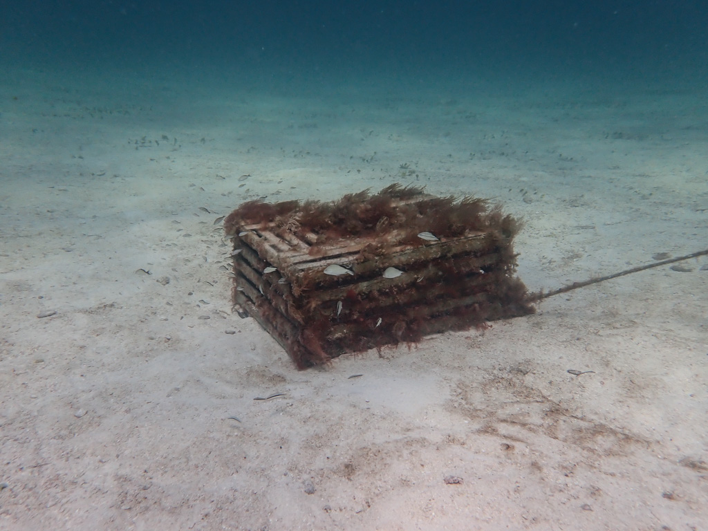
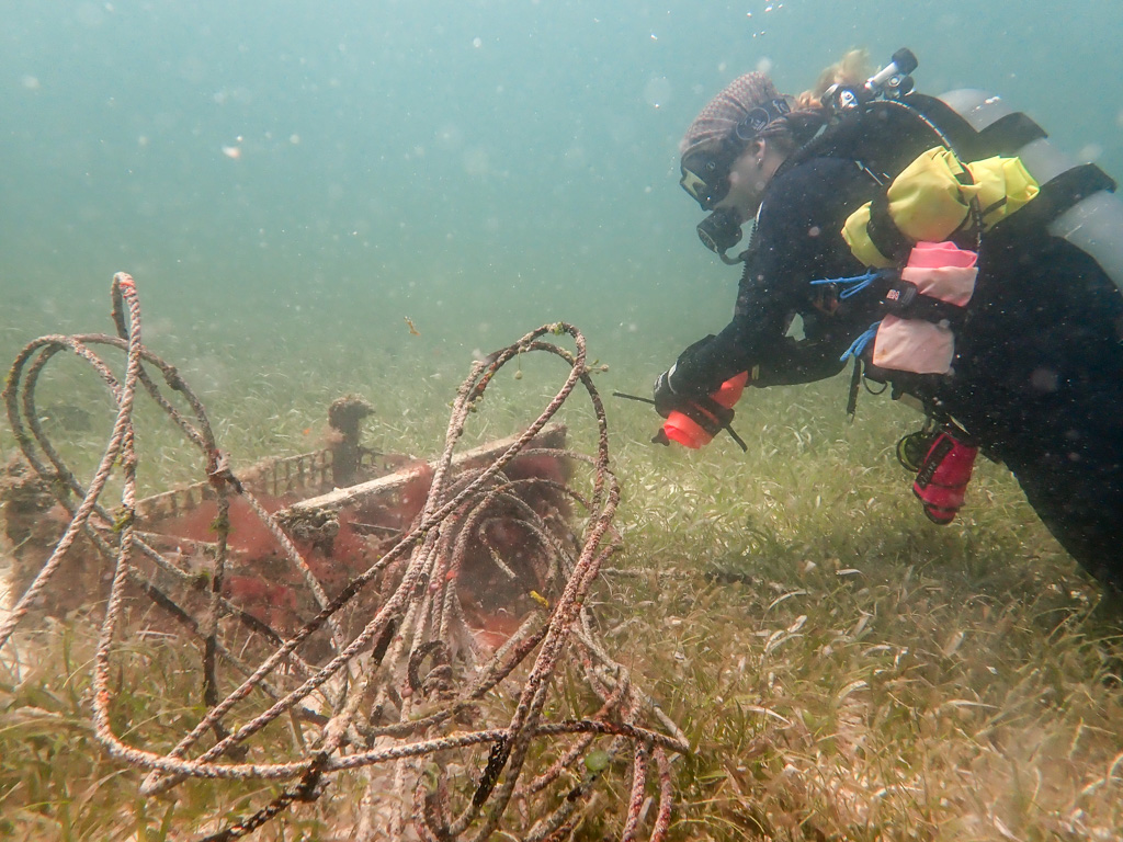
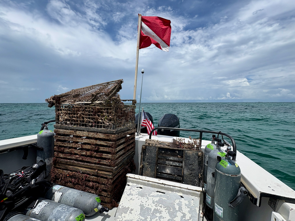
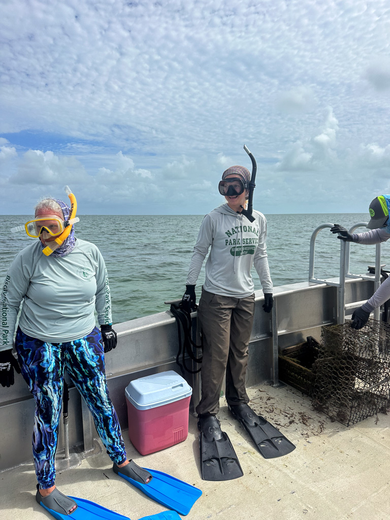
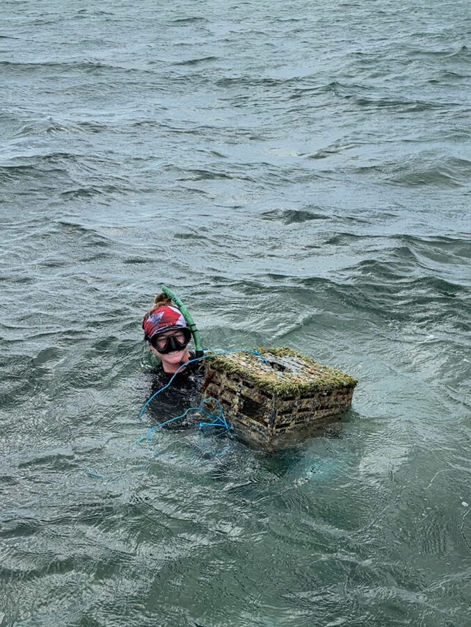
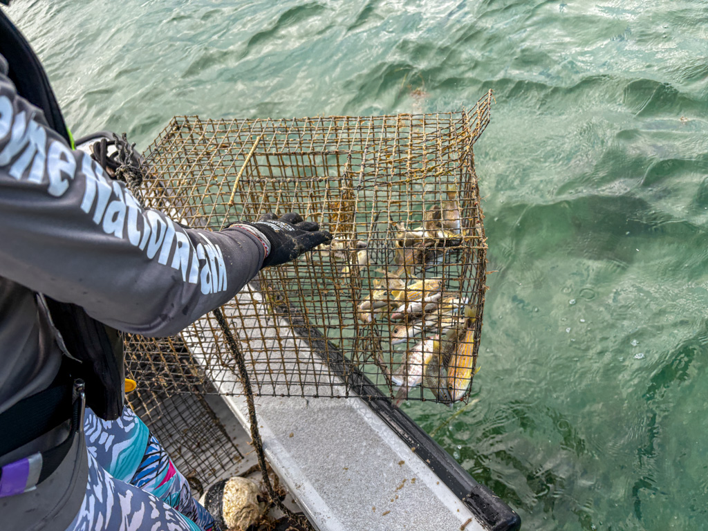
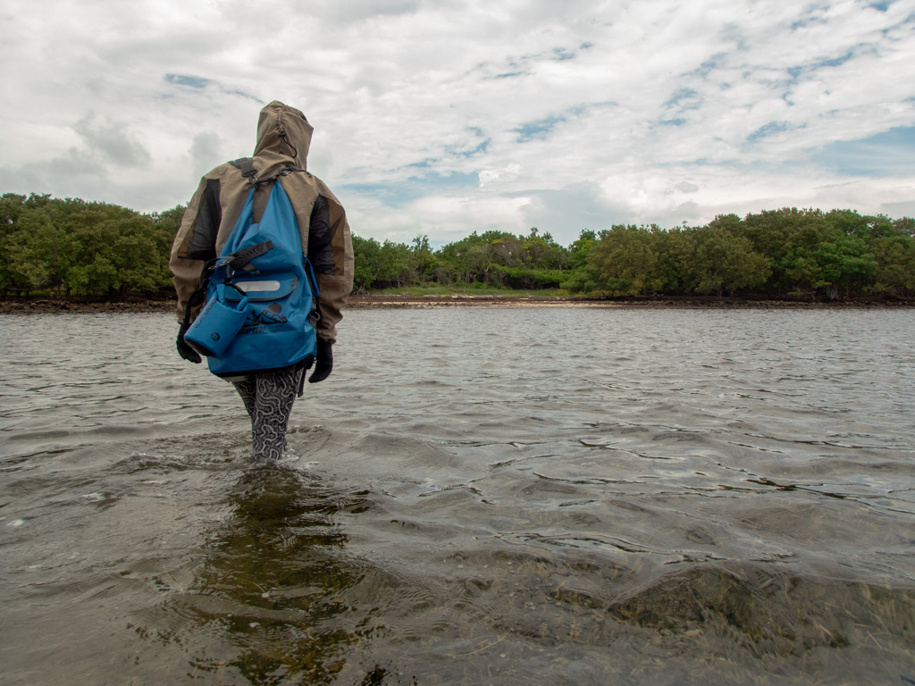
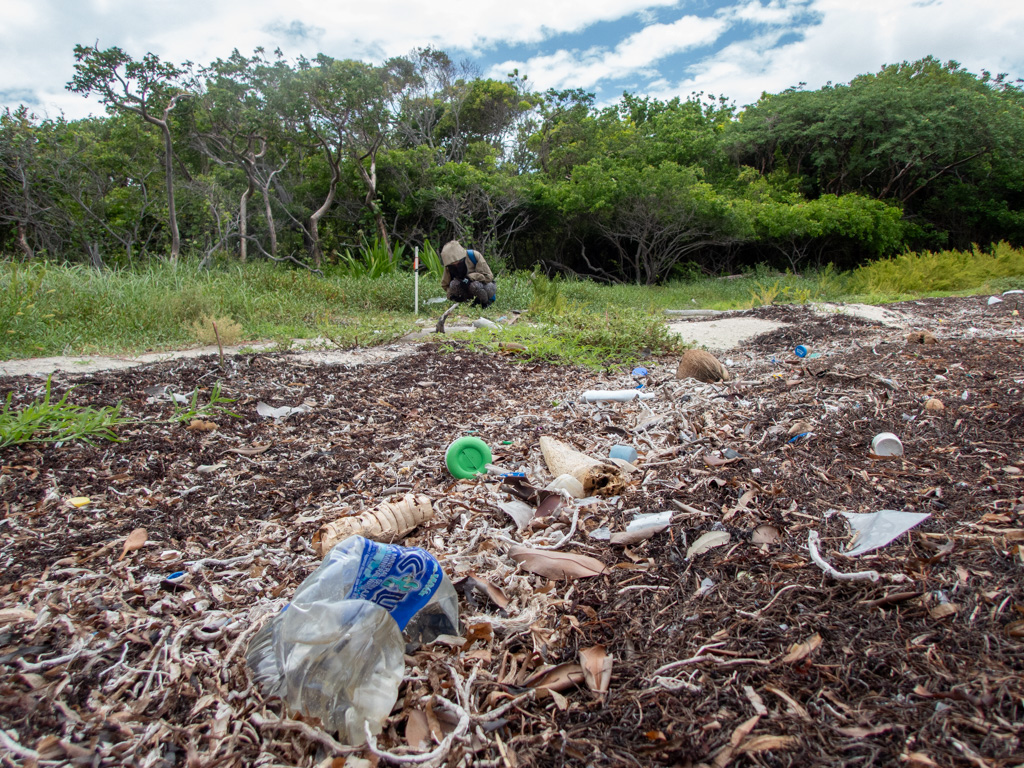
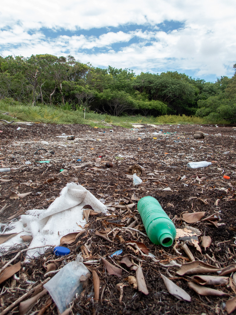
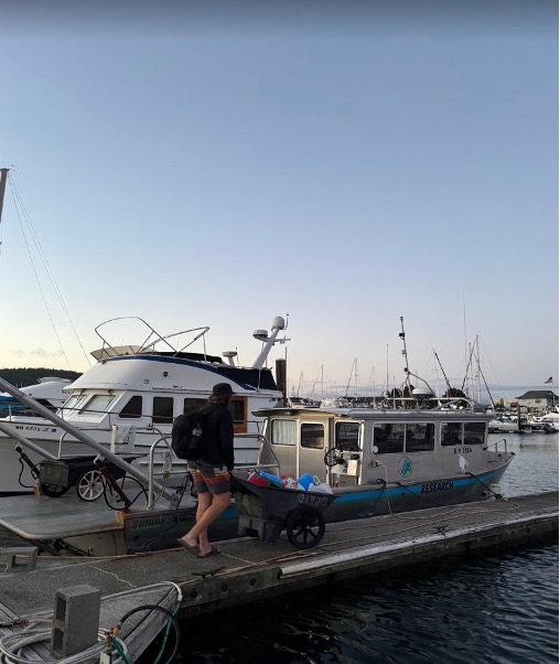
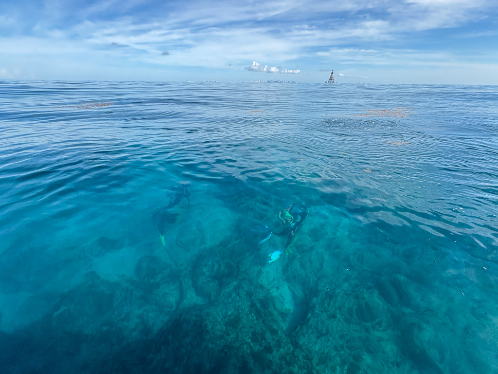
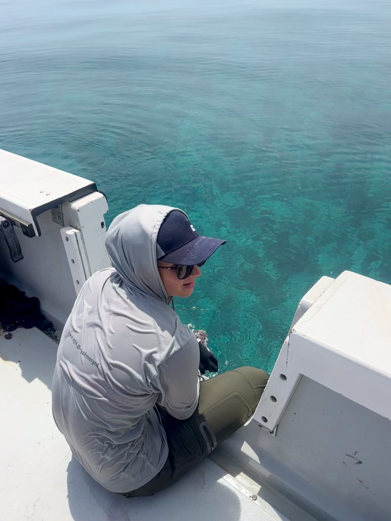
The next day, I head out with the boat as support for marine debris removal on deck, and the conditions are the best since I’ve been at Biscayne. The water is unbelievably clear and calm, even way out past the bay. Even as I pretend to the rest of the team that my tears are spray from the boat, I feel an overwhelming sense of gratitude to even be out on the water, getting to enjoy this beautiful day.
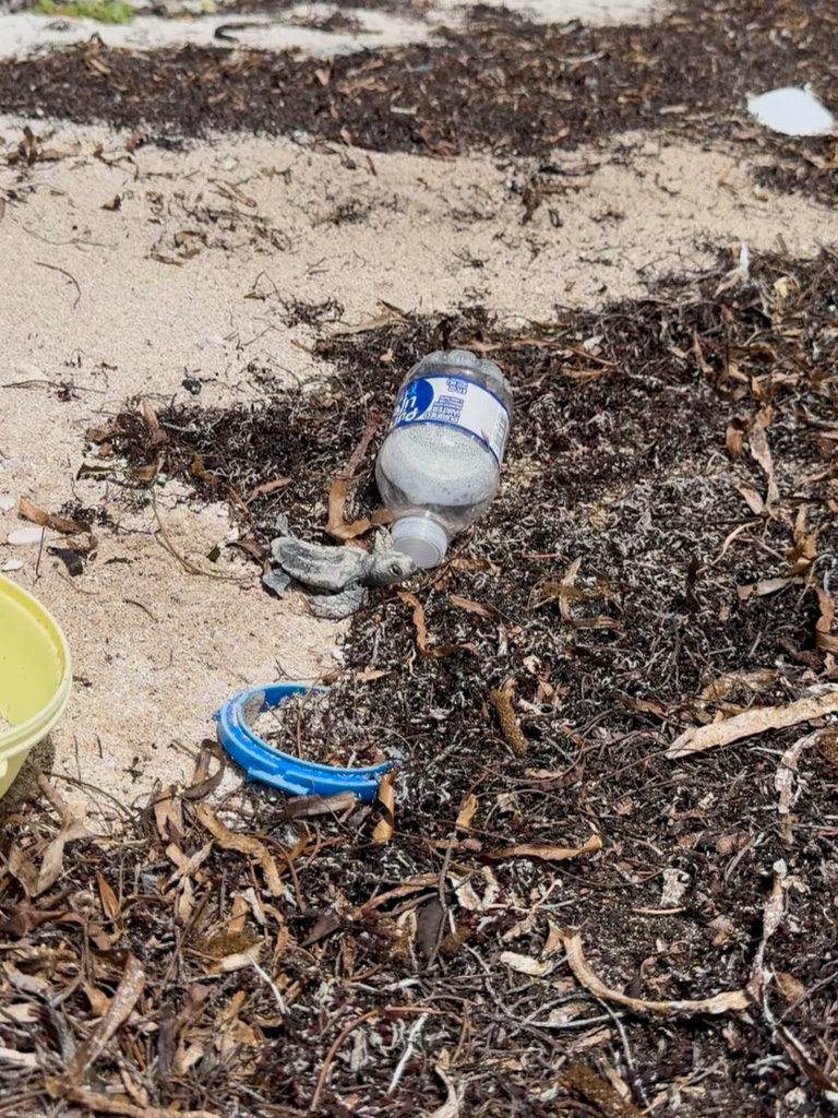
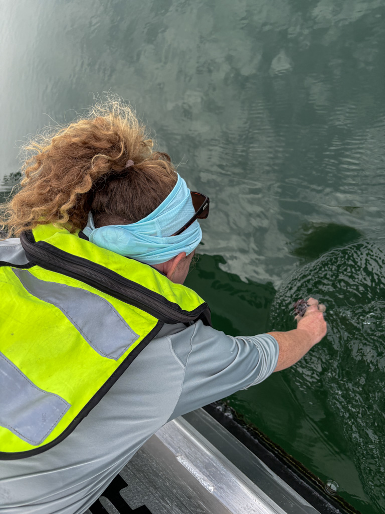
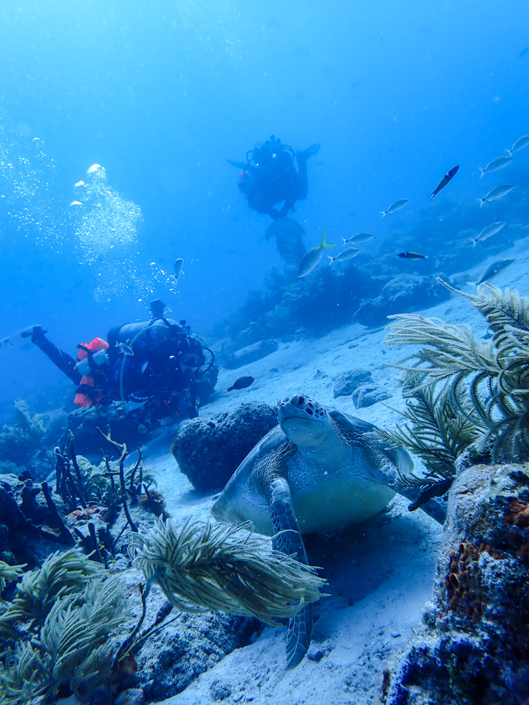
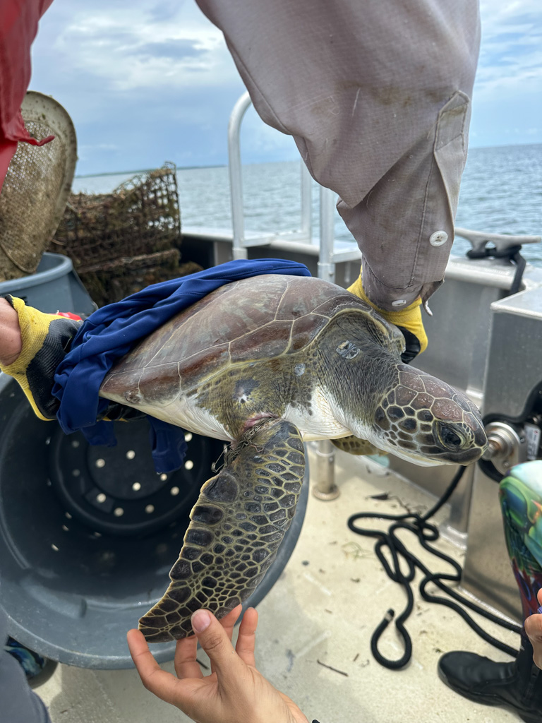
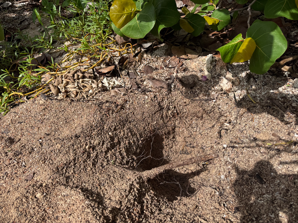
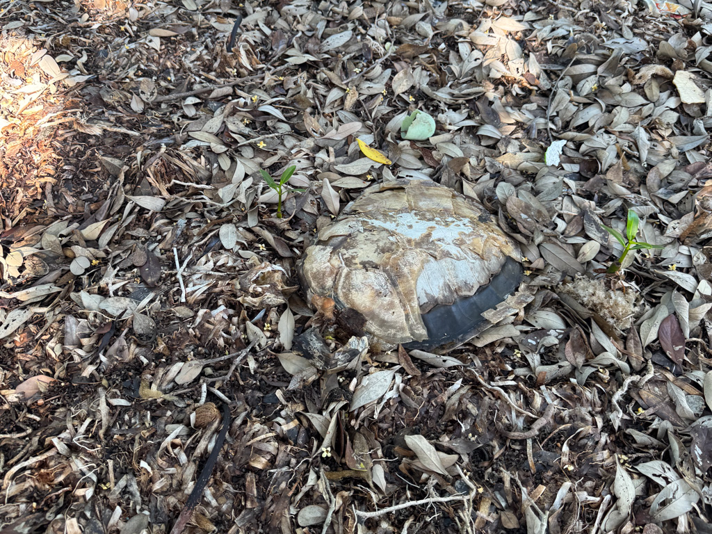
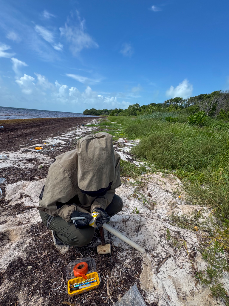
My time in the field with Biscayne ends on a very successful turtle surveying day with Delaina Ross and Bianca Banato (all under Marine Turtle Permit MTP-25-024). If you are traumatized from my previous turtle blog, don’t fear! I have good news to report. We excavate two nests after noticing telltale depressions at the sites, which indicate hatchlings, and mark two new false crawls as well as a new nest. Both excavated nests have over 130 eggs, with the majority showing signs of successful hatching. During the first excavation, Delaina excitedly shows me the signs of a hatched egg. Compared to the snipped but still soft shells of a ghost crab predation, these shells curl where they have been ripped open and are dried out. The last nest excavation even has a hatchling stuck inside! Based on the nest data, we were hesitant to dig upon seeing the impression as it was still pretty early for a hatch date. However, Bianca’s instincts were on point, and had we waited until a later date, the hatchling still in the nest would have likely died.
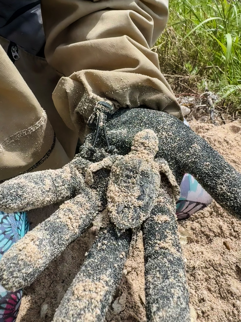
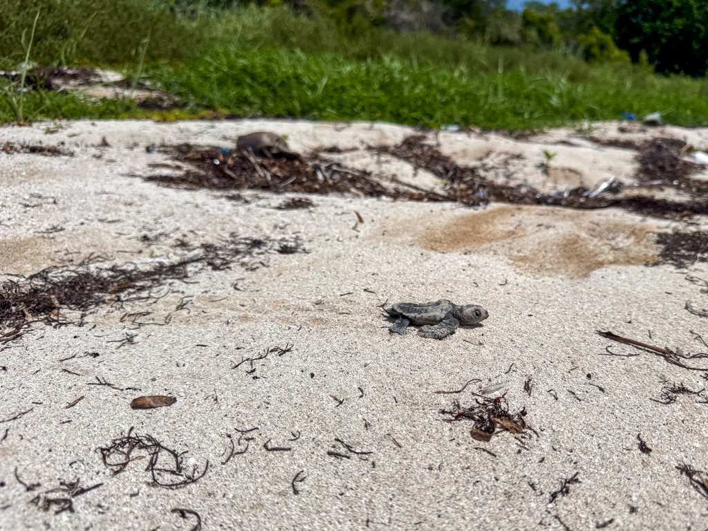
While some might argue to let natural selection take its course, most turtle species are struggling because of pressures created by humans and need all the help they can get. Even after its “rescue,” this hatchling still had a long trek to the ocean to prove its worth. After setting it in the sand next to the nest, I narrated its harrowing journey to the ocean while Bianca finished excavating the nest. The first five minutes included a great deal of agonizing as I watched it struggle to make its way through matted ground cover and grass. Then I was gleefully following it down the beach, cheering as it maneuvered around trash and banks of sargassum. It’s up to the ocean what happens to it next, but I’d like to think its offspring will one day crawl down this same beach.
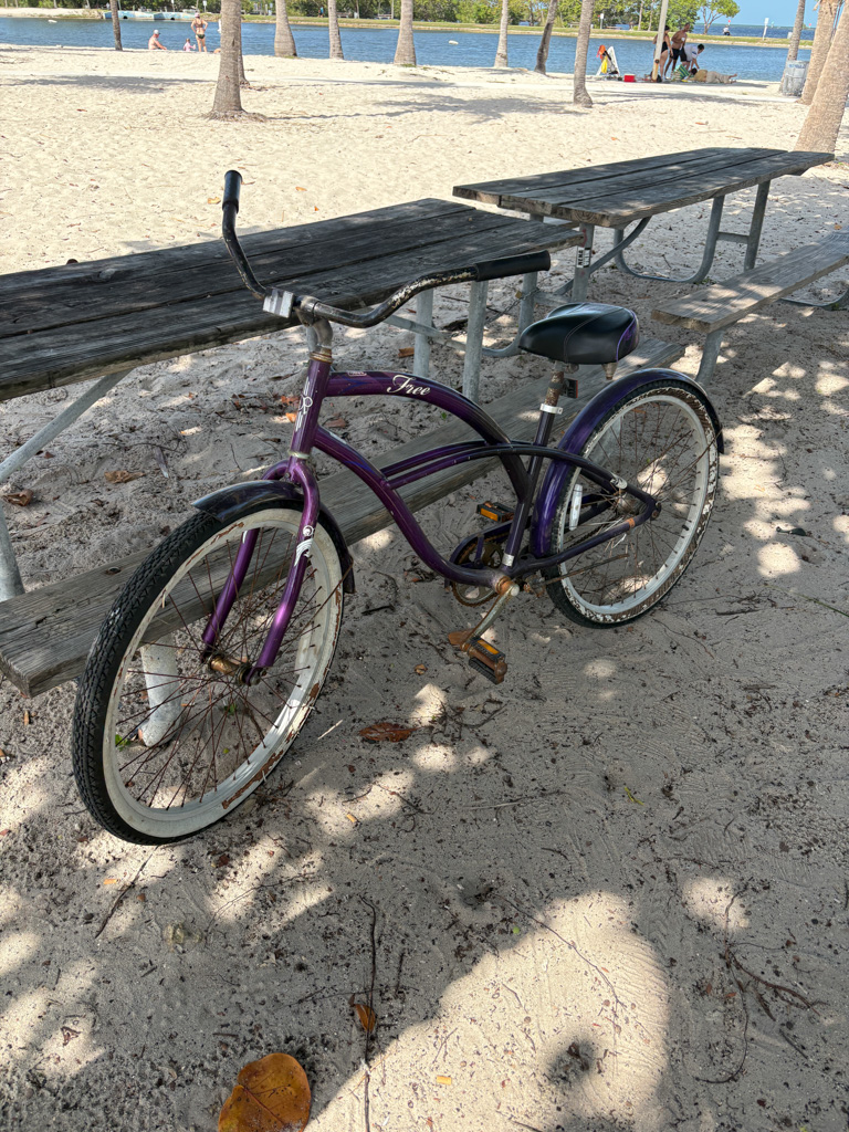
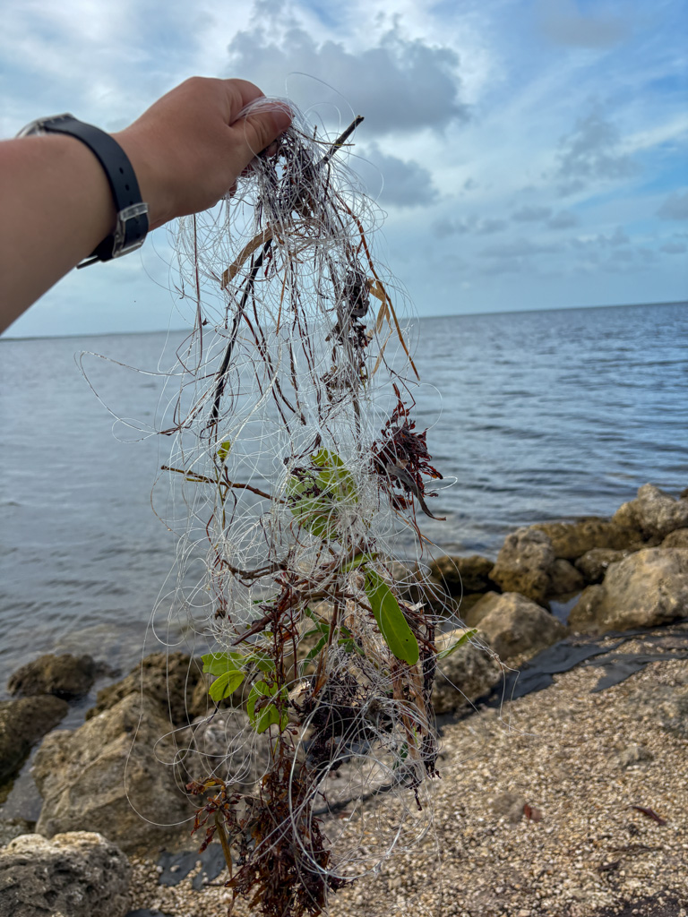
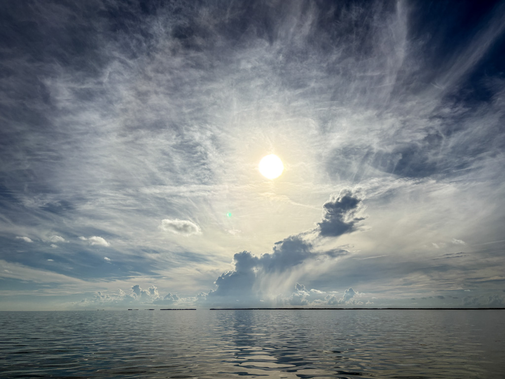
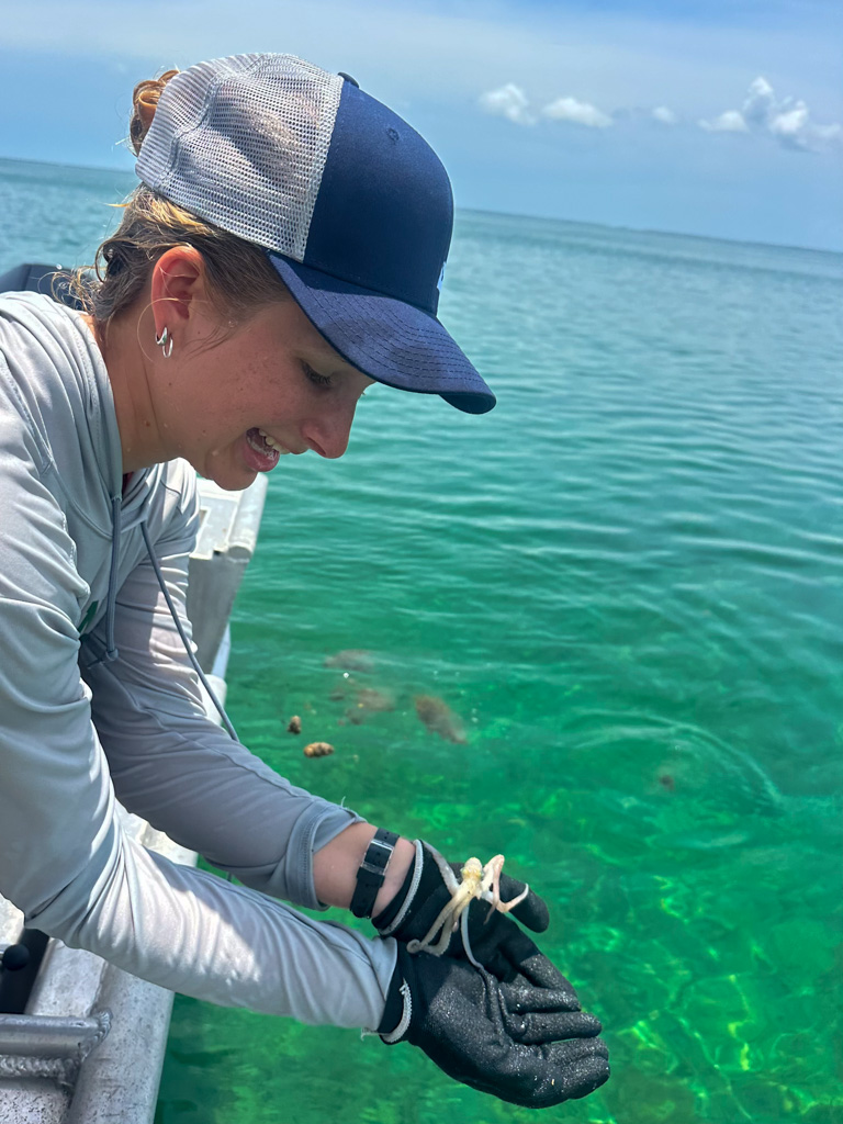
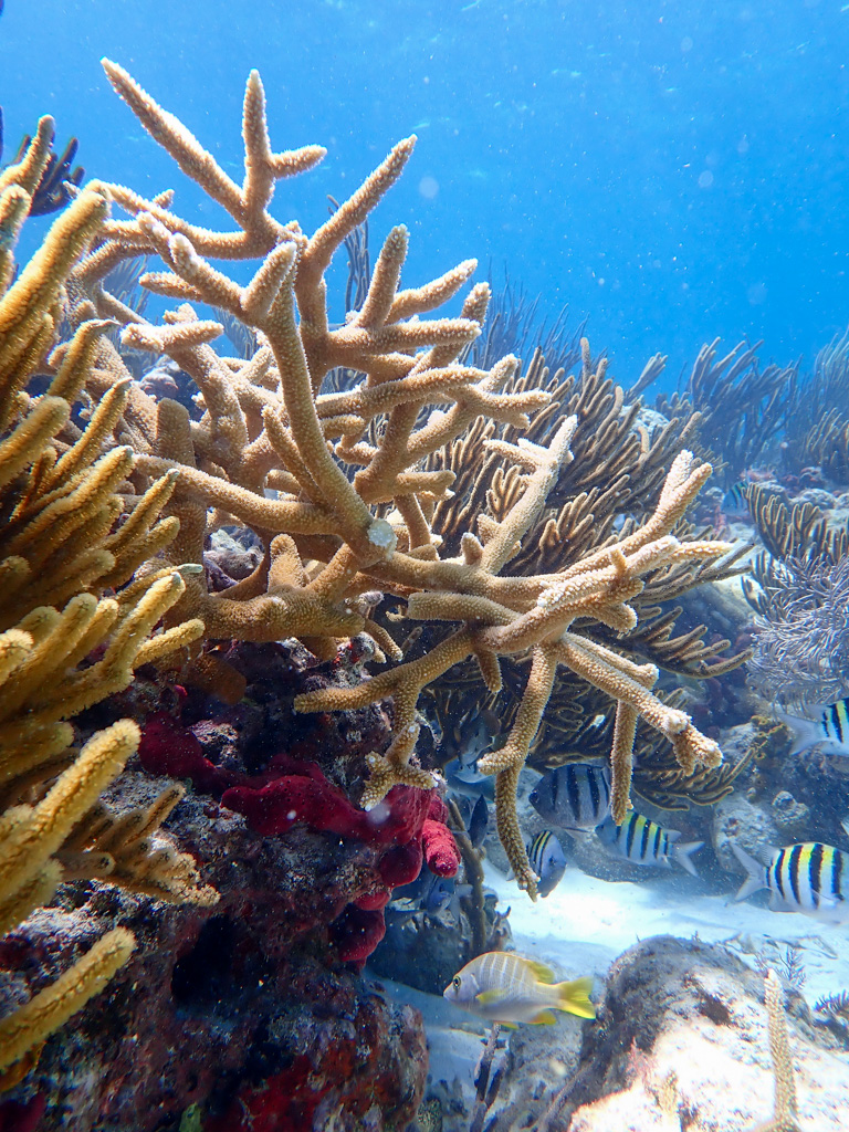
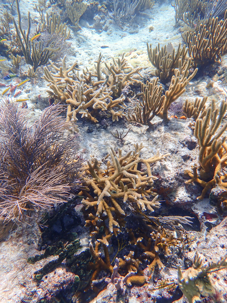
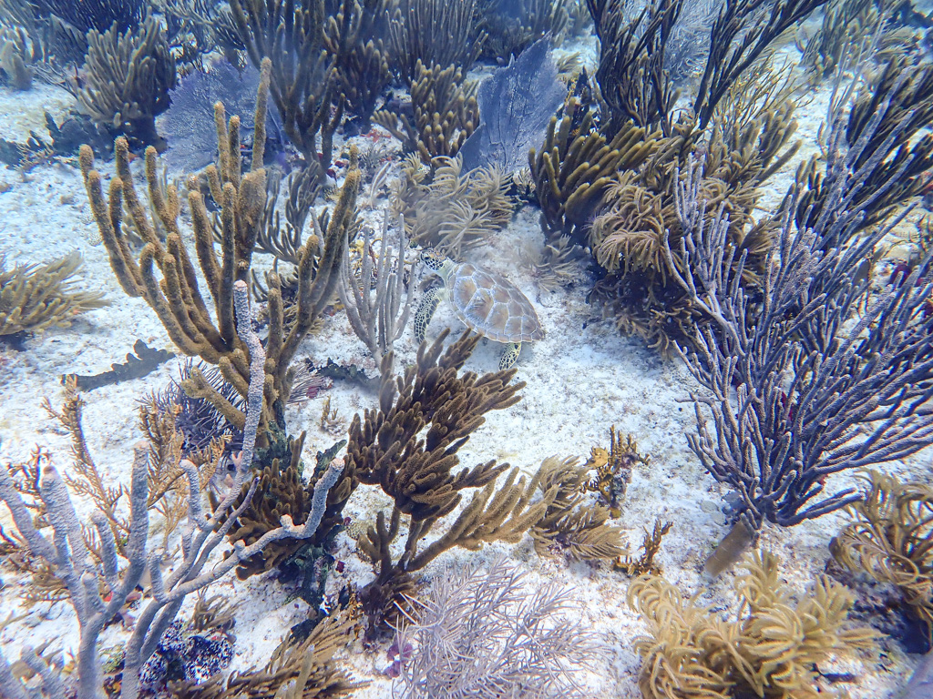
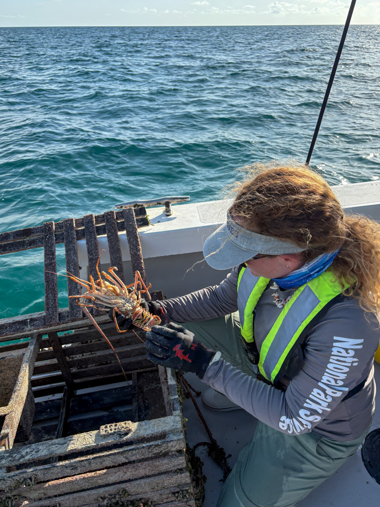
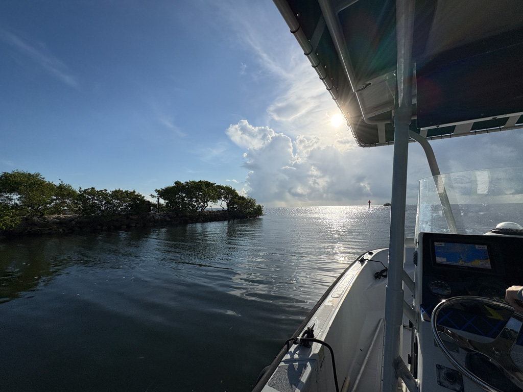
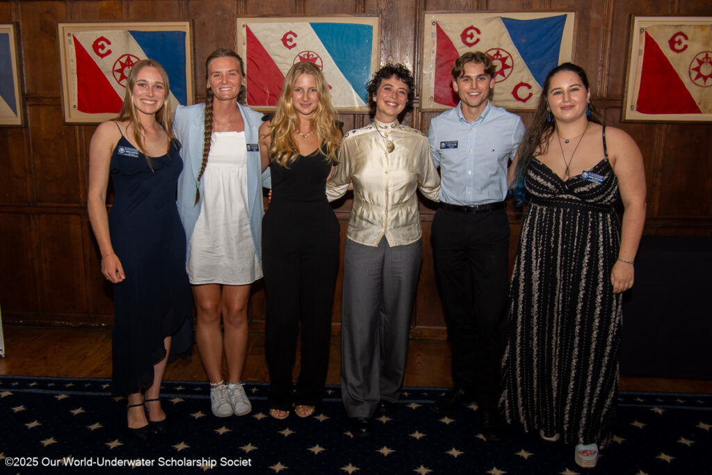
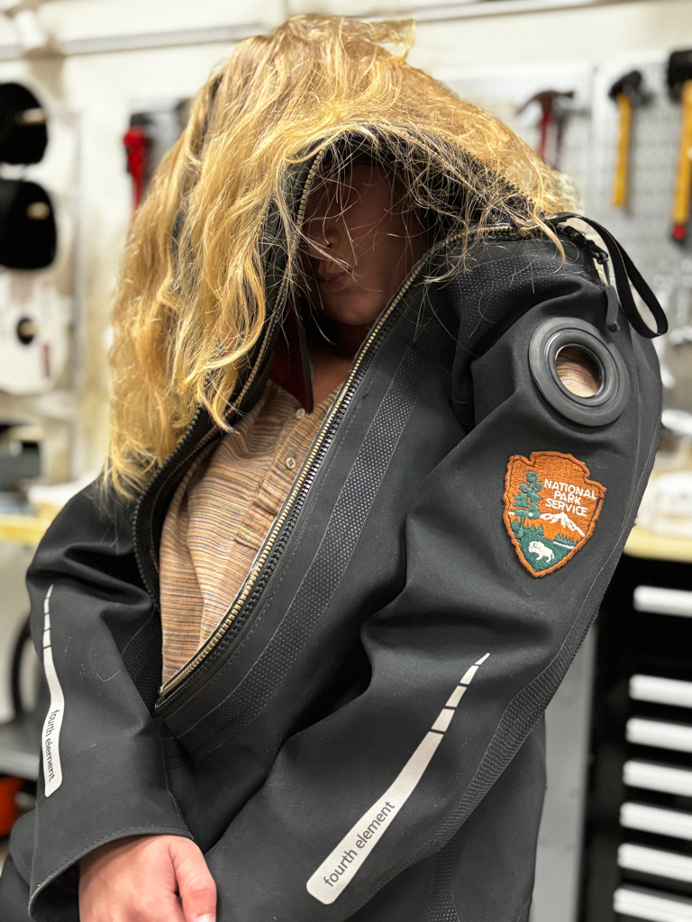
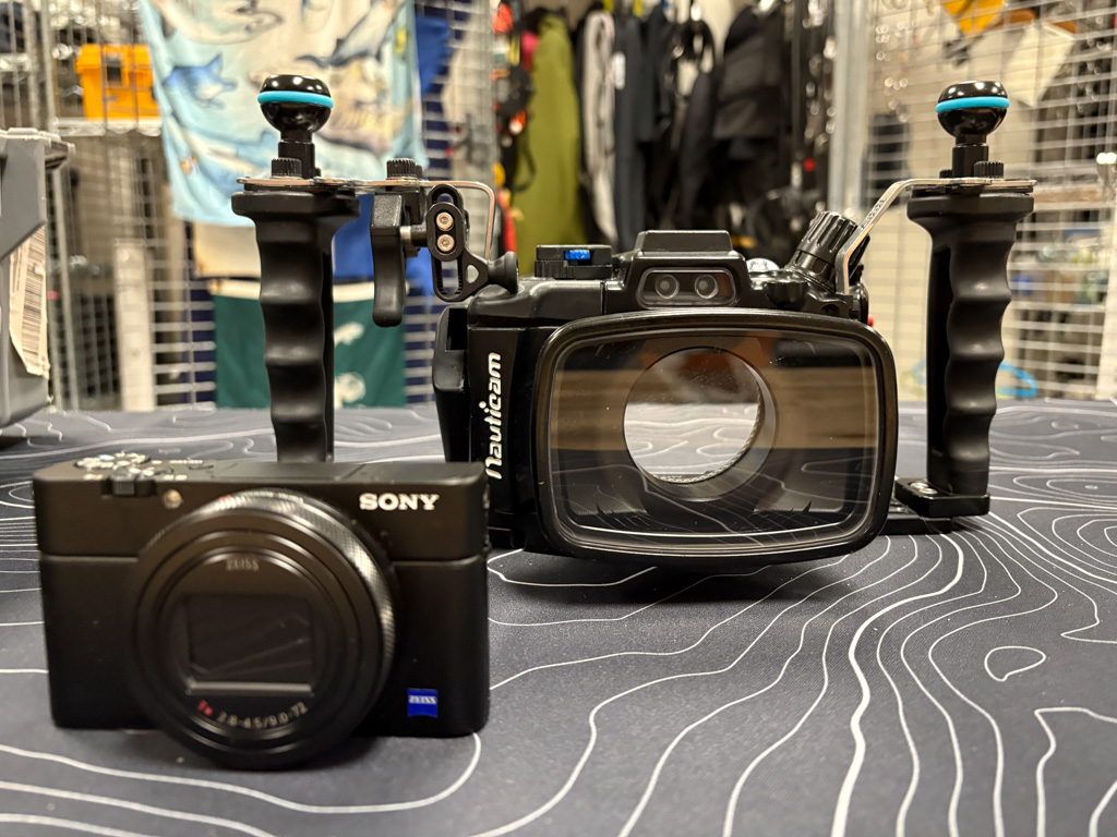
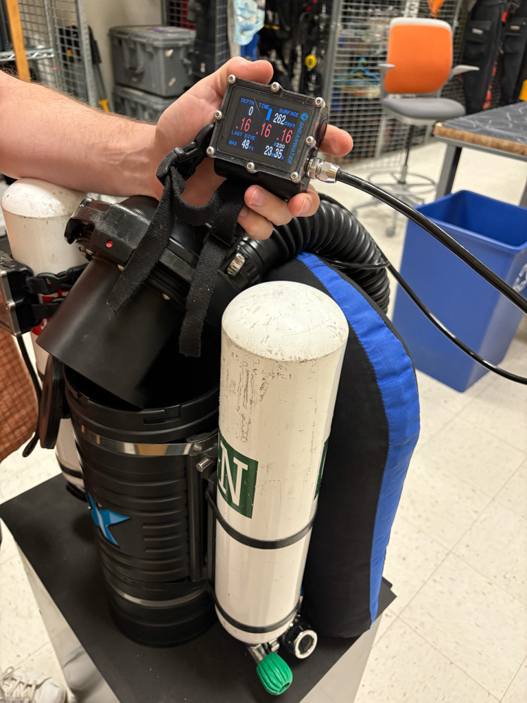
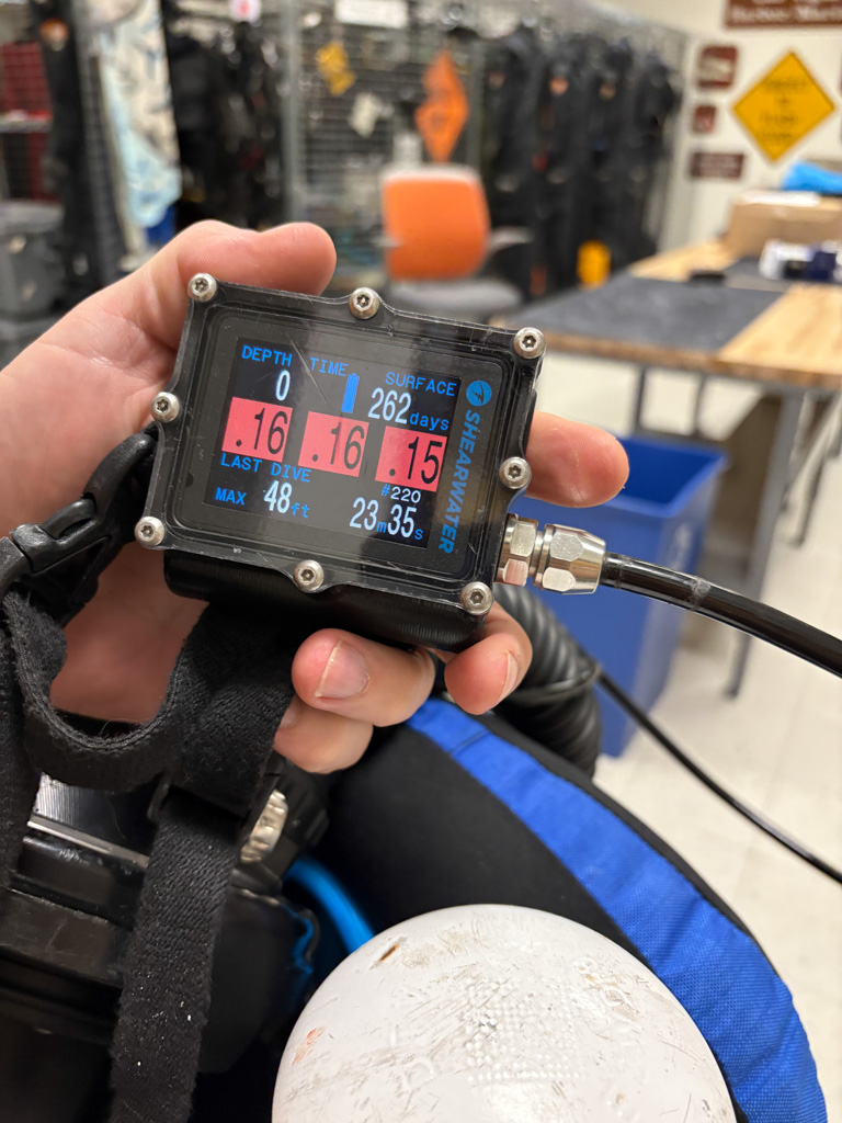
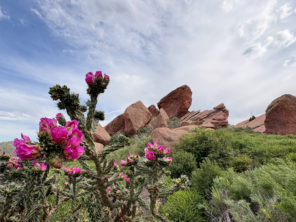
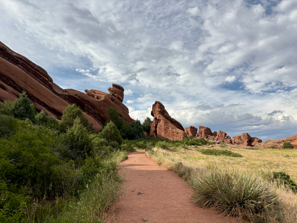
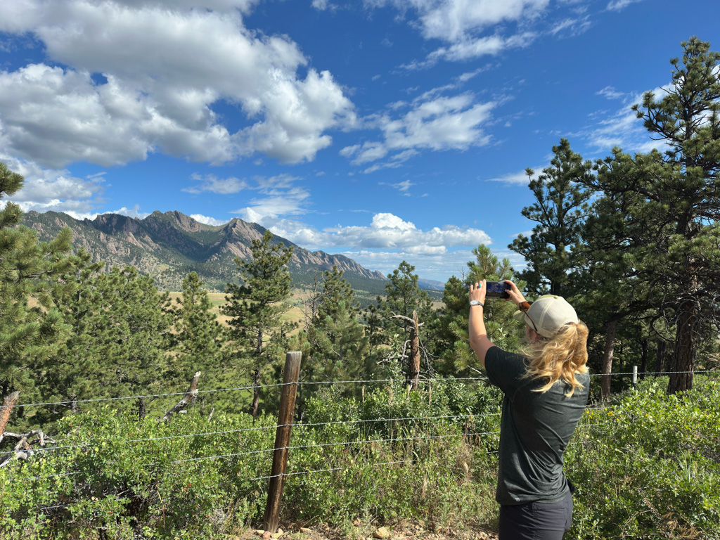
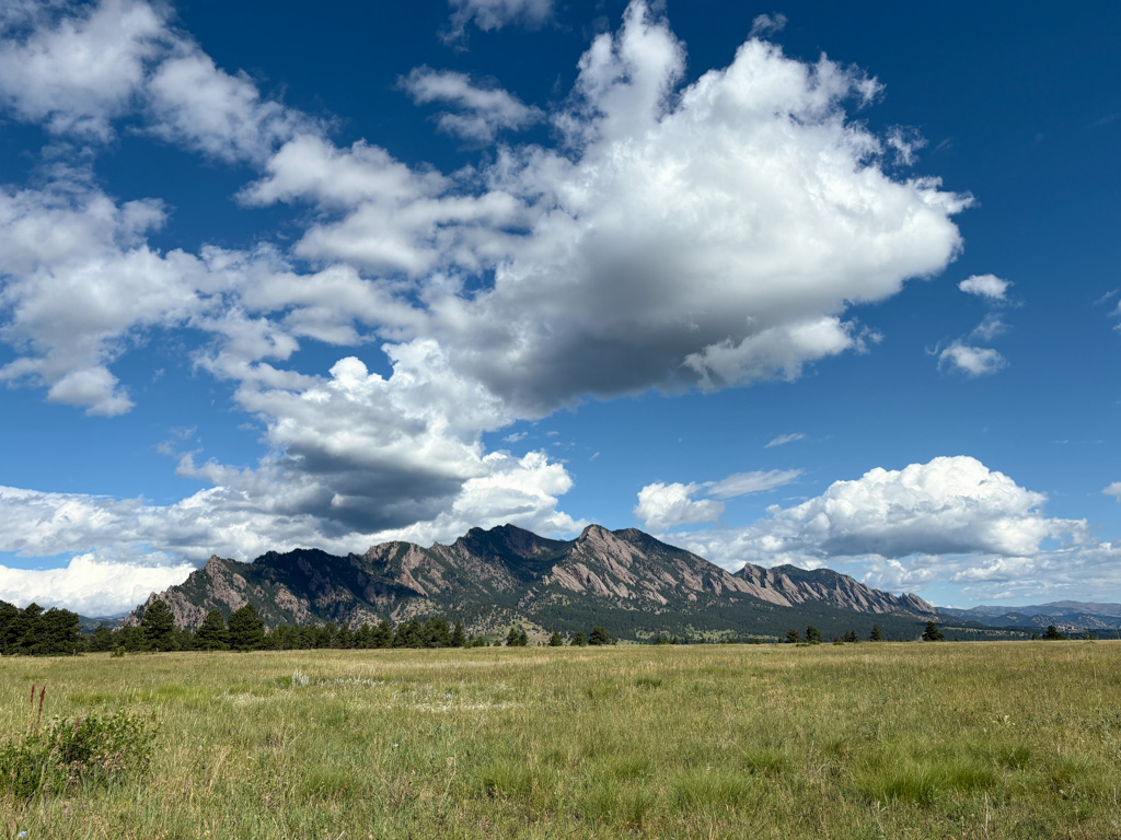
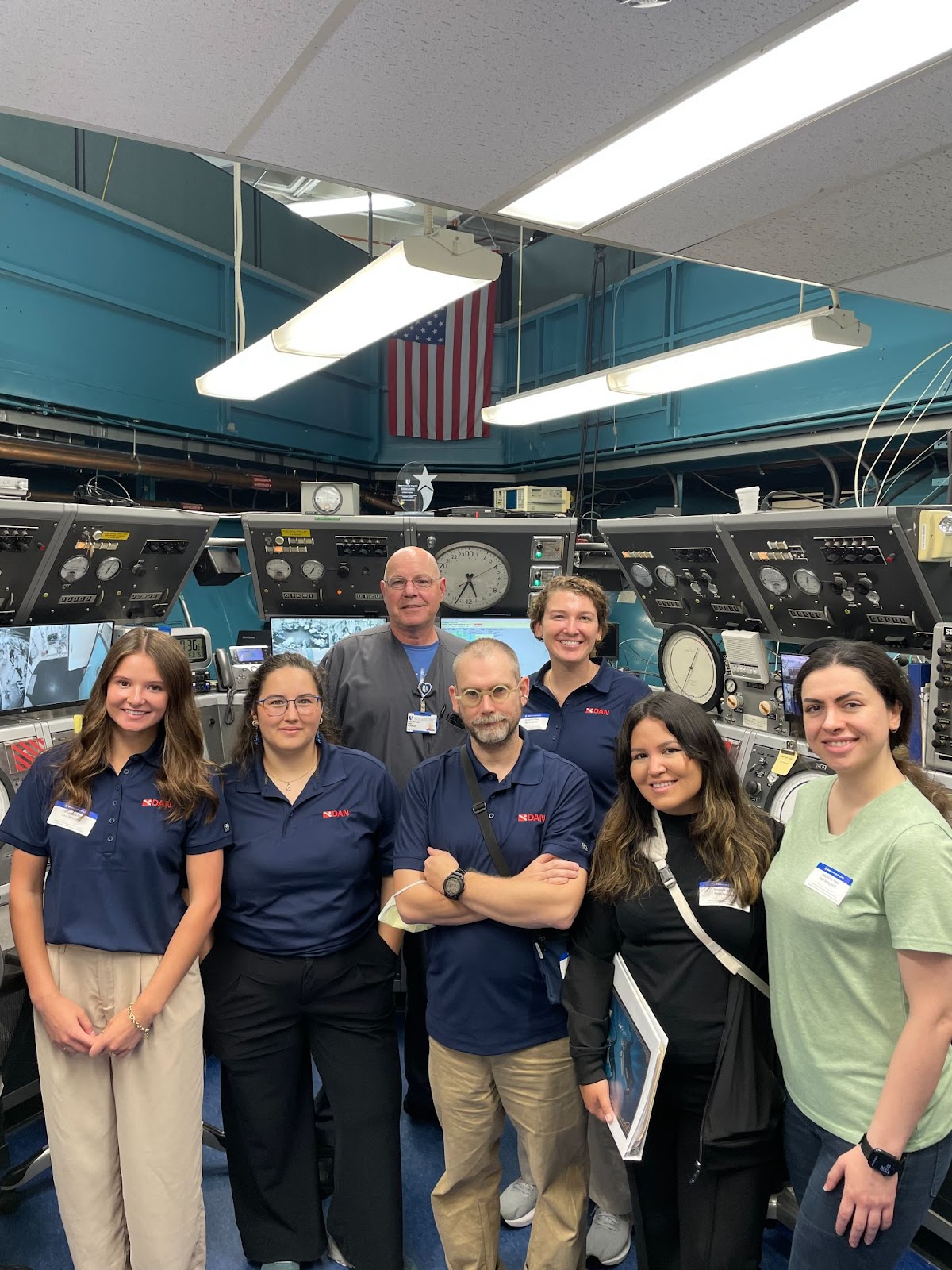
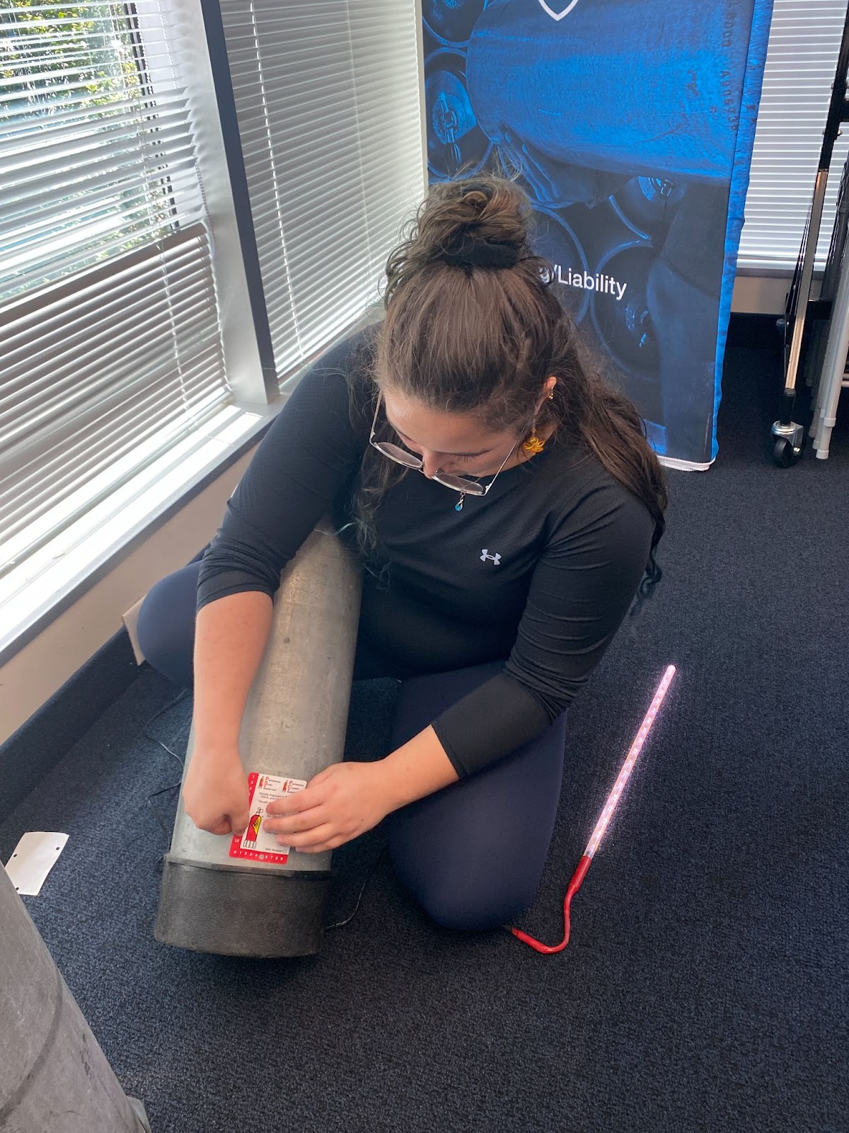
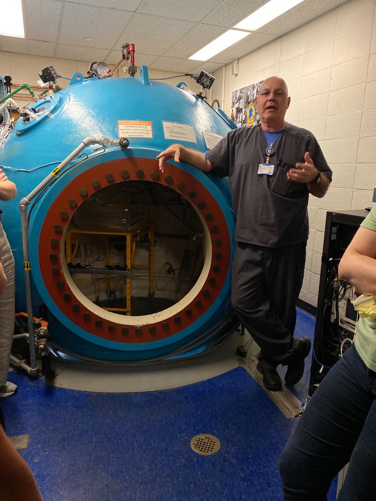
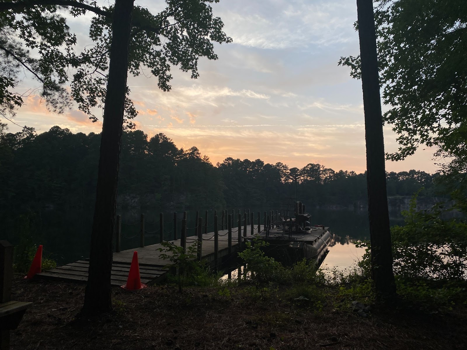
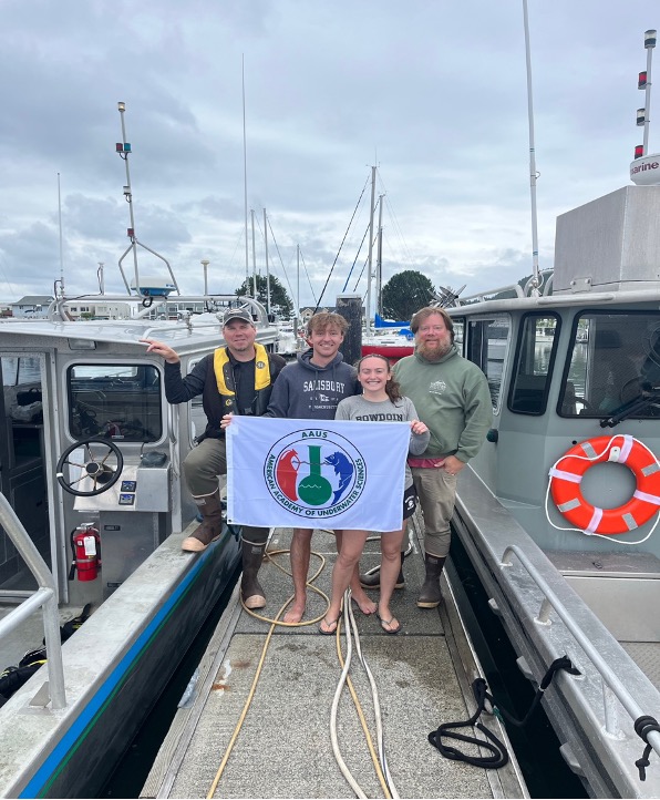
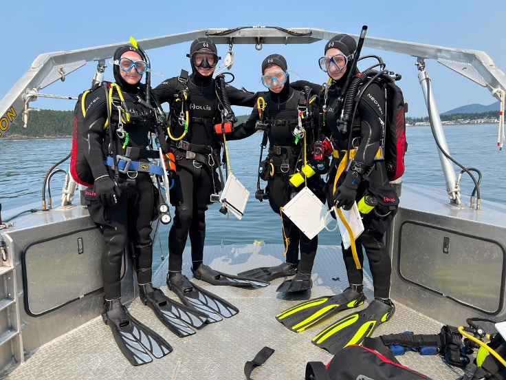
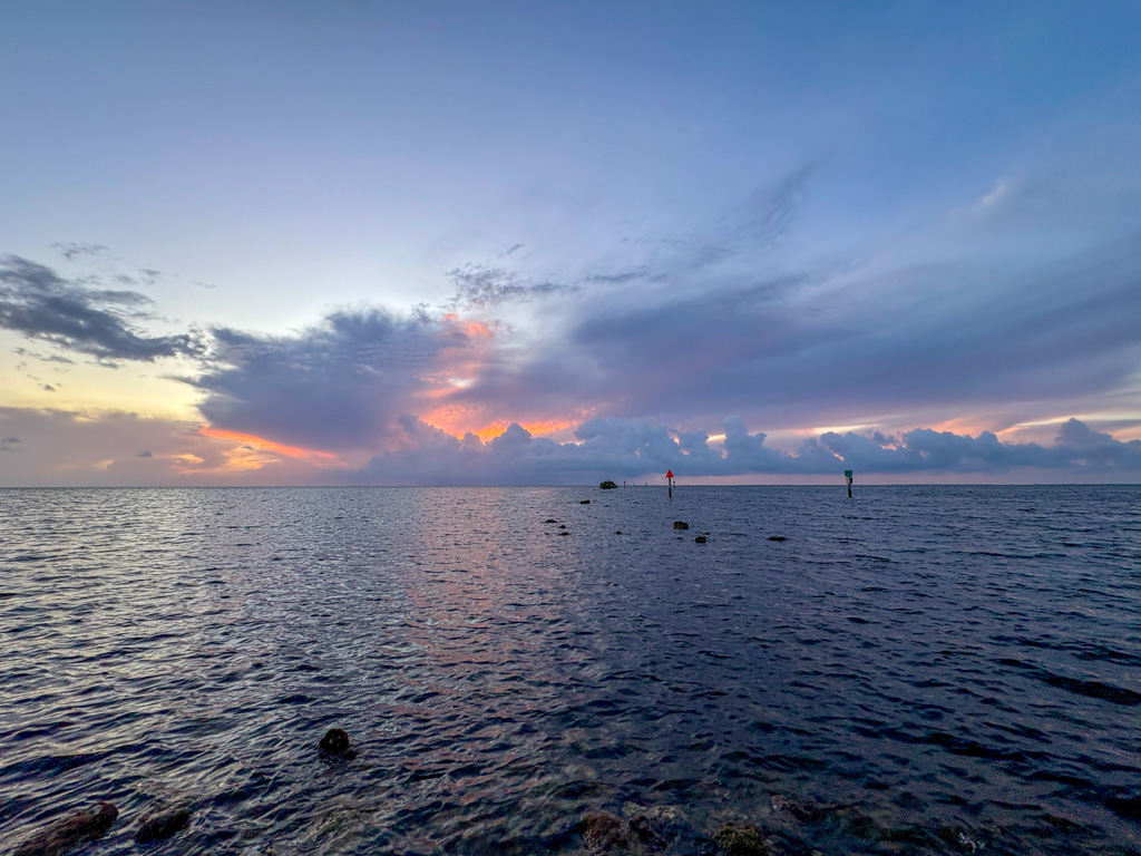
And with that, I’ll end my Biscayne blogs. Maybe you are tired of Biscayne blogs three weeks in a row, so enjoy some more photos with captions. I certainly will never become tired of Biscayne and am sad to bid these wonderful people and this amazing place goodbye. However, my closing words to the mosquitoes – actually, I’ll save my supervisors from having to redact an entire paragraph. Use your imagination. If you know me, it shouldn’t be too hard.