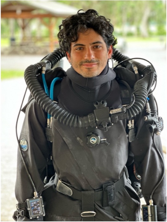
I am starting my internship with the National Parks Service by completing a lifelong dream of mine, getting trained to dive on a closed circuit rebreather (CCR). I have yet to meet the Submerged Resources Center (SRC) team beyond our phone calls, but they have sent over an XCCR for me to use for training while taking a weeklong course in the springs of northern Florida, otherwise regarded as the cave diving capital. Opening the green pelican case to be greeted by the unit inside with National Parks Service badges embroidered on its wing was a very surreal moment, the first of many to come. I will be joined by University of Miami Diving Safety Officer (DSO) Jason Nunn and Jessica Keller who are undergoing their XCCR instructor training from Randy Thornton. Sub Gravity shop manager Brian Sanders-Smith and I will be learning how to walk for the first time over the next week; CCR diving flips open circuit on its head quite literally. The physics of buoyancy operates in a vastly different way from what we’ve grown accustomed to with conventional open circuit diving.
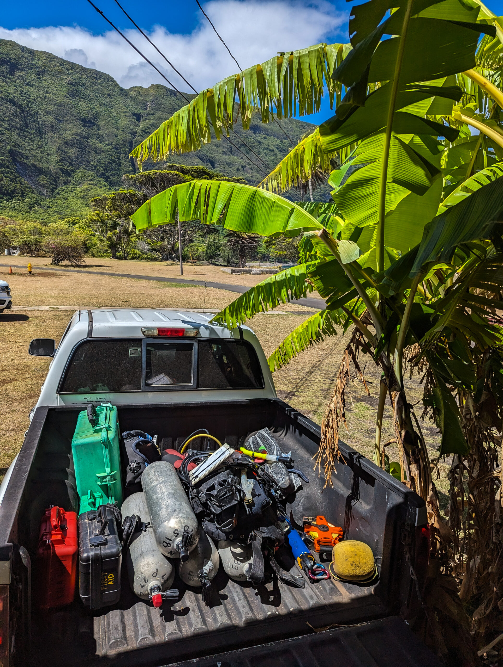
On Sunday, I meet Jason at the UM Dive Safety Office. All our equipment is staged and ready to be loaded after going through checklists throughout the week to ensure nothing is left behind. Just 15 minutes later, the bed and backseat of his truck are filled with all the equipment we could possibly need over the next week. Five hours on the road and an infinite round of CCR questions I’ve been occupying Jason’s time with, and we finally get to Randy’s house near High Springs, FL where we meet Jess and start to unload all our gear. Randy’s house is set up for exactly this, and I’m happy to be staying with him during this time, making morning setups and evening breakdowns incredibly efficient after long days of diving. We’re expecting Randy and Brian to get in from Utah late at night, so we head to bed; smiling all day is tiring.
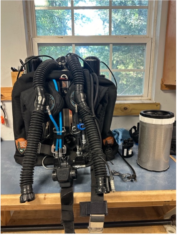
Unfortunately, due to car issues, Randy and Brian only got in around eight the following morning, but after a quick power nap, we got straight to work. We spent the entire day reviewing the units’ components and building it up for a dive. It’s hard to wrap your brain around all the new information thrown at you; saying it is a steep learning curve is an understatement. Luckily for me, I’ve been a complete XCCR nerd over the past year and have read through the manual on multiple occasions. Never did I imagine I would be getting my hands on one so soon, and the thought that I’ll be diving it tomorrow is simply inconceivable. Before you know it it’s dinner time, and we go out for pizza to discuss pressing topics: Is the pizza in NY infinitely better than Florida? Yes. Is it really the water? I can’t say, but it’s in a league of its own, although I might be biased growing up in the northeast.
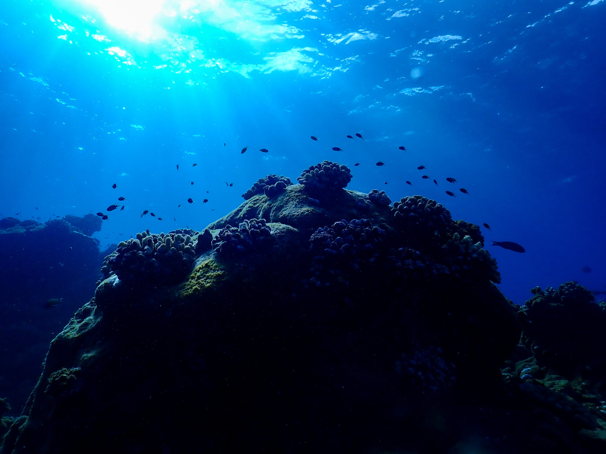
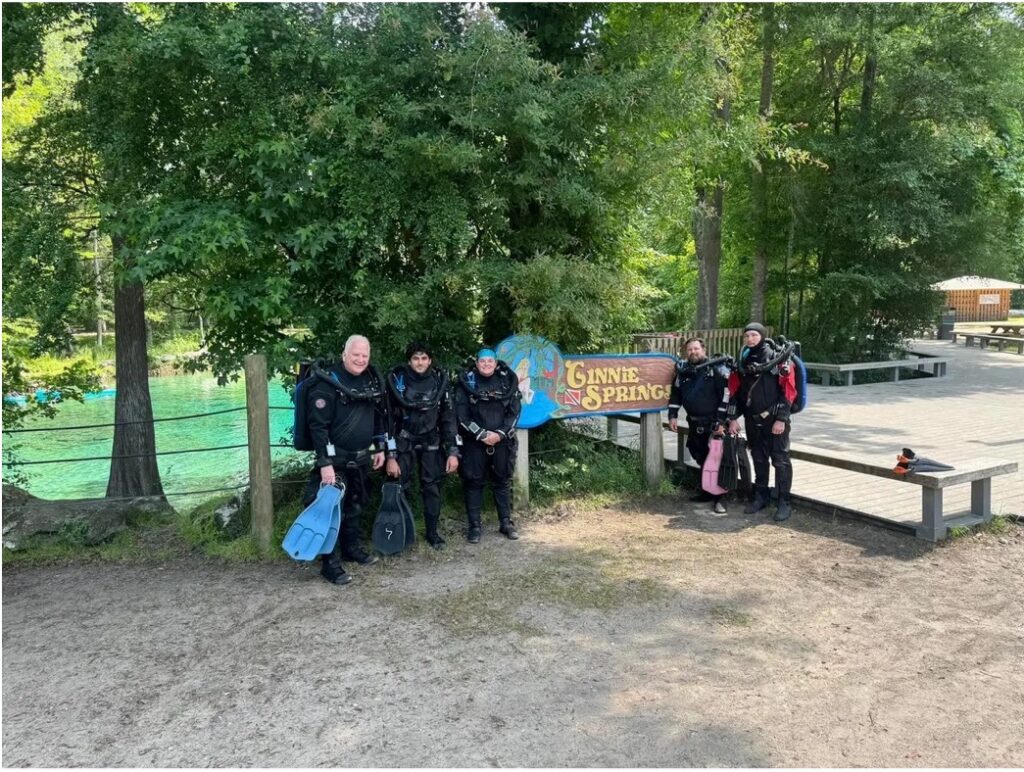
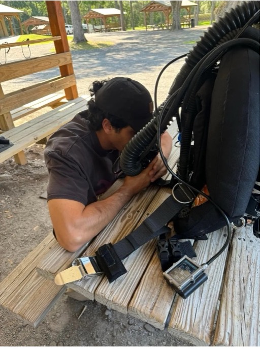
Before we can get into the water at Ginnie Springs, home of well-known caves such as the Devil’s Spring System, we have an extensive predive checklist we must go through thoroughly. Overlooking a step or becoming complacent with these can lead to serious diving emergencies and jeopardize the safety and lives of you and your dive team. We hit the water midday by Ginnie Ballroom and prepare to be humbled, growing accustomed to controlling buoyancy and managing three different air spaces. We progress slowly to incorporate some basic drills, and by the end of the day, we get to poke our heads down into the Ballroom, a cavern just below our feet with mesmerizing beauty. The rest of the evening is spent recalibrating my brain to the new physics of CCR diving, rehearsing drills in my head, and digesting all the new information.
We spend the next two days at Blue Grotto, about an hour’s ride away from Randy’s. Morning checks to make sure everything is in the car before we leave becomes routine, always double-checking your lunch isn’t being left behind. We focus on getting comfortable with emergency drills, dealing with issues associated with hypoxia, hyperoxia, hypercapnia, lost gas, and failures. Creating the neural pathways for these new motions is only one component. However, having to actively think through the procedures is a critical part of diving on a rebreather; how your actions will affect the loop you are breathing and the gas composition in it means everything. Constantly playing with your buoyancy throughout this makes keeping track of your thought process difficult, so repetitions matter, and soon enough, all our long discussions about theory start syncing with proper responses. We get to experience the cavern area in Blue Grotto, and with depth comes the welcomed ease of buoyancy control. Blue Grotto is also home to a permanent resident, Virgil, a soft-shell turtle who seems to find a way of paying a visit at the most inconvenient time, swimming within inches of Jess’s and Brian’s masks in the middle of a drill to reclaim his status as the center of attention. After a long day of learning from our mistakes and rehearsing drills, it concludes with some much-needed sushi and completing the remaining final written exams. No rolls are left behind, and any stragglers are added to Jess’s “breakfast sushi platter” (a brilliant idea if you ask me).
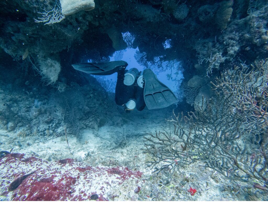
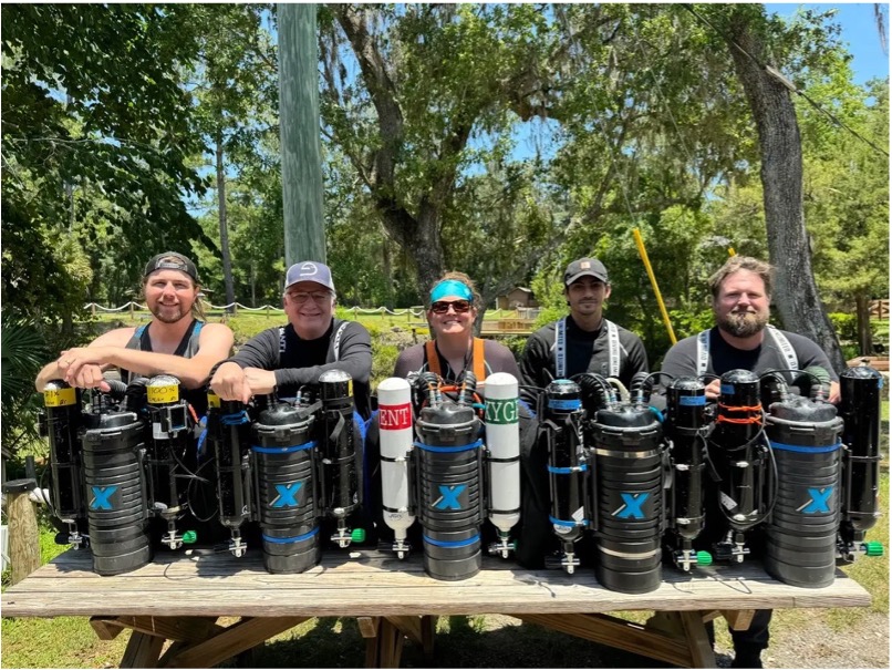
The final day is a bittersweet experience. While I’m excited to graduate from the confines of Blue Grotto and be certified, I’m subduing the thoughts that are screaming at me, which means tomorrow I won’t be in the water. I’ve grown to love the steep learning curve and challenges, driving me to want to become as proficient as possible which will require hours and hours of practice and logging more dive time, something I’m greatly looking forward to. A massive weather system is pushing its way through the area, and on our way to our home away from home (Blue Grotto), we encounter multiple downed trees, detours, and close calls. Hesitant that the Grotto will remain closed because of lightning, we decide to keep pushing forward, even if that means driving around downed trees on dirt shoulders. By the time we arrive, the skies are clearing, almost as a reward for persevering through the doubts running through everyone’s heads on the ride over. Checks, checks, checks, and then we hit the water, demonstrating skills in conjunction with problem-solving surprise scenarios. We take a tour of the deepest corner Blue Grotto has to offer at thirty meters and follow the cave line, conscious not to silt the narrow corridor and make a mess of the visibility. Our way up follows a steep and tight slalom-like pass, and we head to the surface to discuss our next task: rescues. If I had to categorize my first rescue attempt, it would be “acrobatic”, and that is being generous. Maintaining and controlling six air spaces is a challenge at best and requires a feel you can only develop with more practice and failed attempts. Caution was my friend on future tries, and after closing discussions, we got to shake each other’s hands as new XCCR divers (Brian and I) and new XCCR Instructors (Jason and Jess)! The fun didn’t stop there; I had my first-ever peanut butter and jelly sandwich awaiting me in the cooler for lunch. It was good, it was really good, actually it was really really good, and the more bites I took the bigger the smile got on my face I just could not hide it. Peanut butter and jelly, who knew.
With a new world of diving adventures ahead of us we got back to Randy’s to sanitize and break down our units. I assured Randy I’ll be pestering him in the future to do a full cave course; the peace and almost meditative-like state of diving silently in a dark cave is something that still leaves me drooling. That night, we all enjoy laughing at our mistakes made over the course of the week. My personalhighlight reel would include bouncing like a basketball off the bottom while attempting semi-closed rebreather drills and my initial cirque du soleil inspired demonstration of a rescue. We all say our farewells in the morning, load up Jason’s truck one more time, and head back to Miami. This experience has been humbling, inspiring, and rewarding. I am grateful for being taught by such amazing talent and receiving feedback and instruction from Randy, Jess, and Jason.
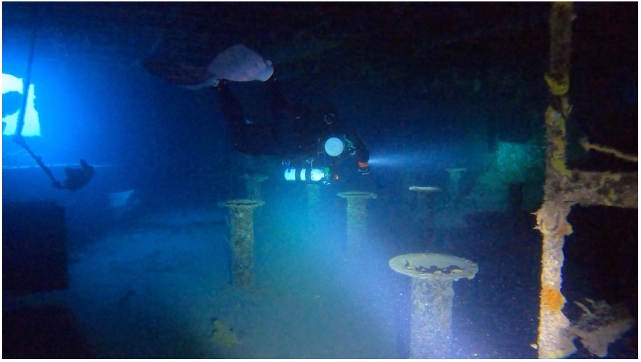
But just when I thought my week wouldn’t get any better, Jason and I conspired to dive the following day in Key Largo on the USS Spiegel Grove, all while on the car ride back. Forecasts are just too good to spend the day out of the water. As soon as we get our gear unloaded, we go over a dive plan, pack our scrubbers, and load the truck yet again. The Spiegel is a five-hundred-and-ten-foot-long US Navy dock landing ship decommissioned in 1989 and sunk as an artificial reef off the coast of Key Largo in 2002. The following morning, we hit the water by nine thirty for our two-hour deco dive, and to be quite honest, I am still digesting what my eyes saw. Spending an hour and a half at depth between forty-five and thirty meters exploring the ship’s multiple decks and interior rooms while being accompanied by four reef sharks all in complete silence has easily jumped to the best dive experience I have yet to have, making past open circuit tech dives seem recreational in comparison. All these highlights and I haven’t even fully started my time with the SRC team yet. What adventures await on my upcoming trip to Isle Royale NP can’t come soon enough.