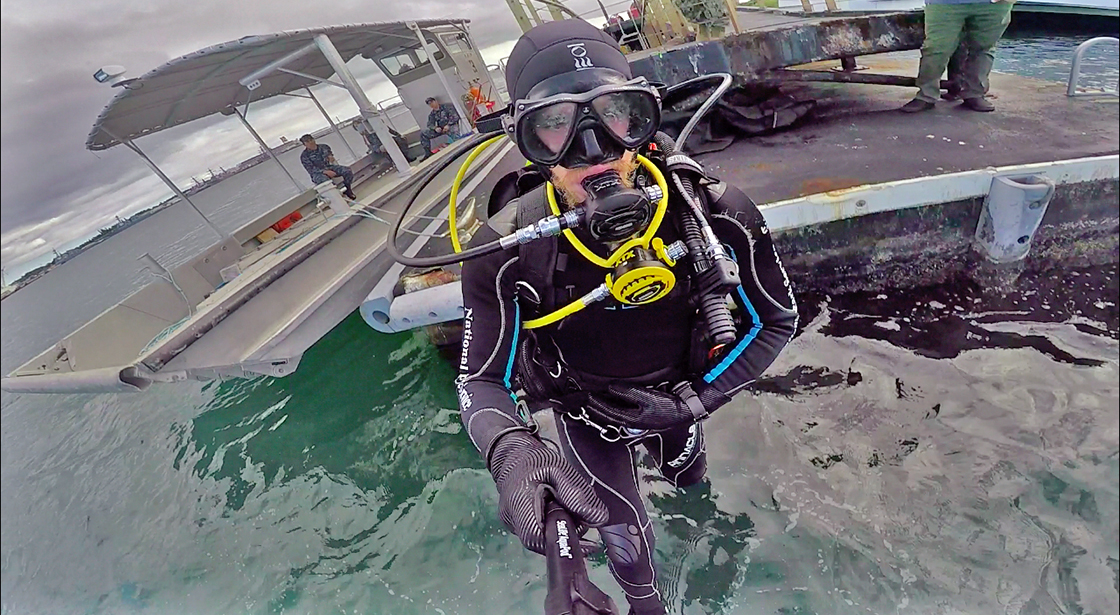
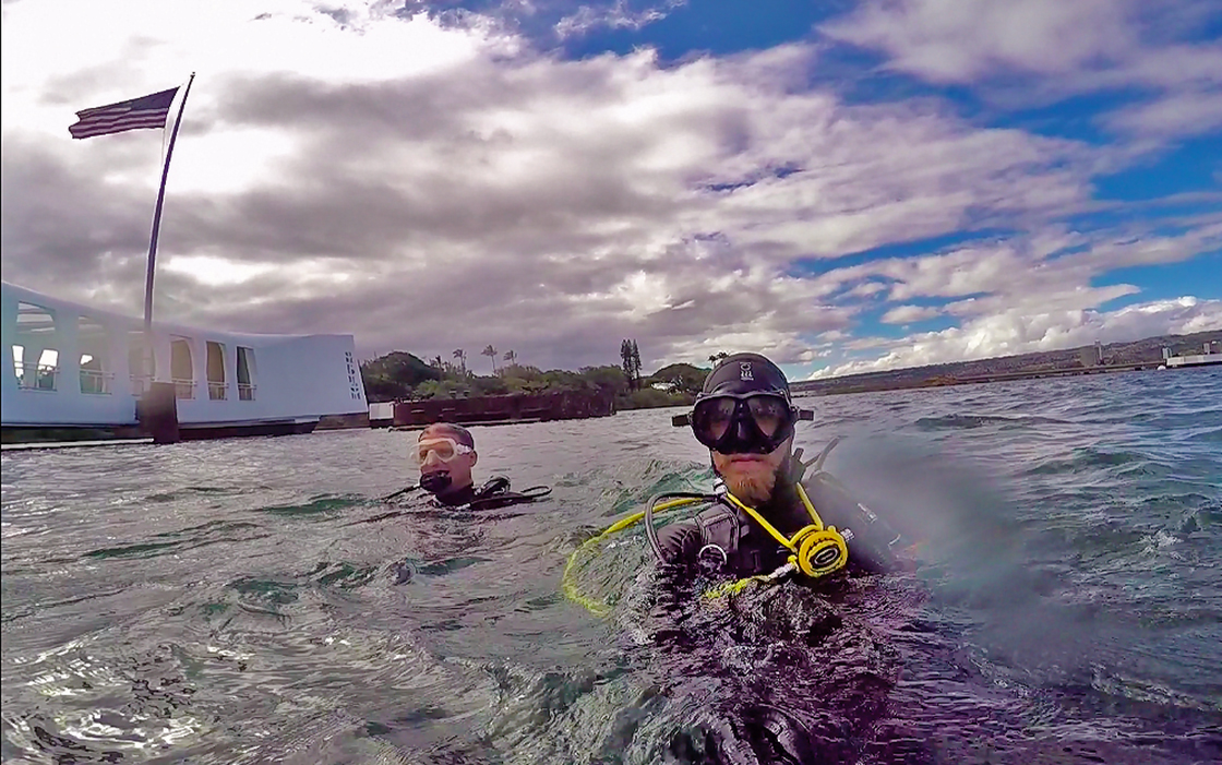
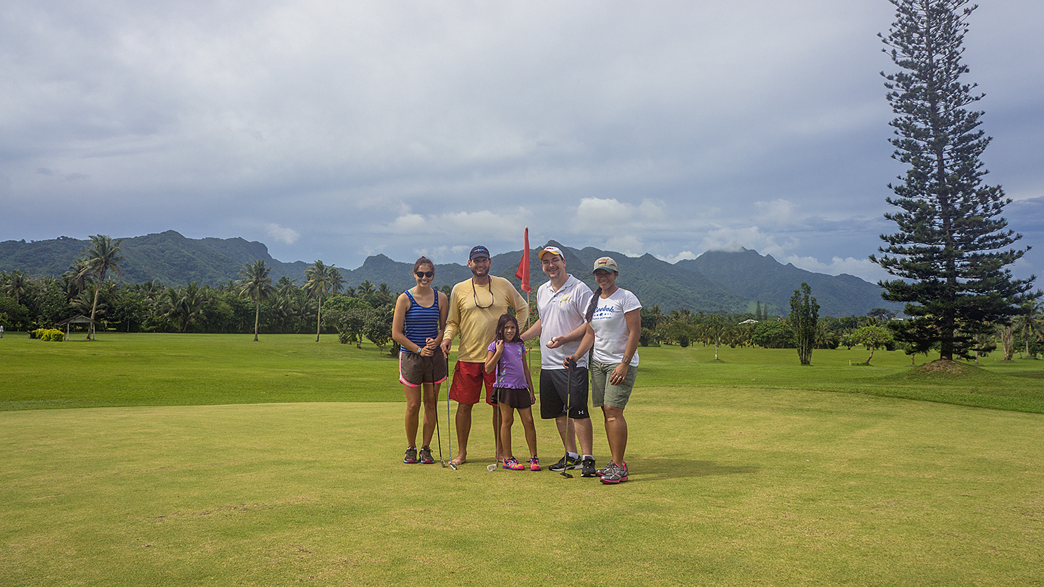
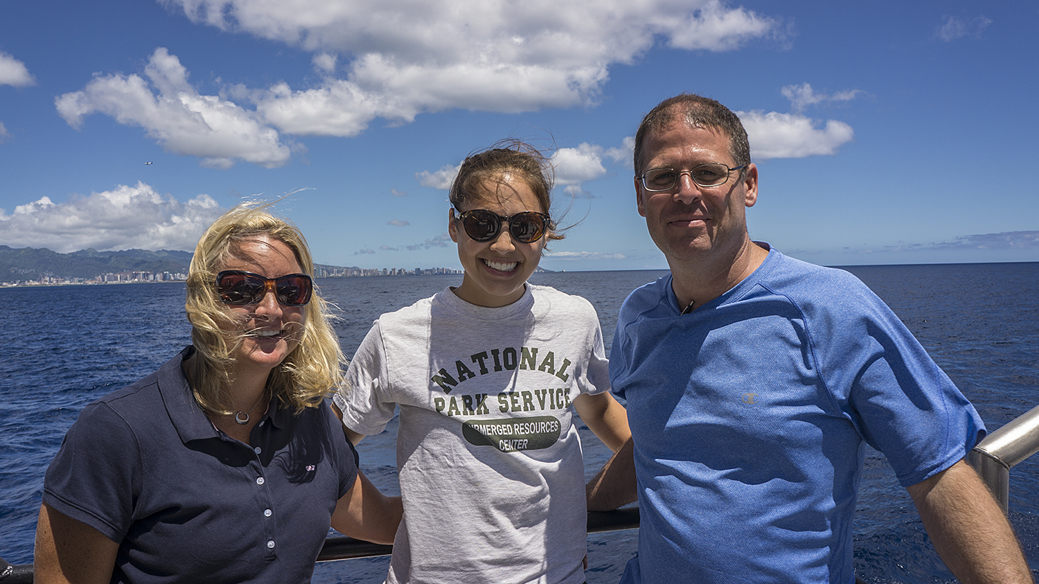
Much like diving, one of the harder learned lessons from traveling is to always be flexible. And patient. After leaving the WWII Valor in the Pacific National Monument in Hawaii, I jumped on a red eye for the mainland. My next destination, after another bout of air travel, would be the Glen Canyon National Recreation Area (GLCA). After a quick layover in my hometown of LA, and a coffee fueled reunion with an old friend, I headed for Phoenix, Arizona for another layover before my final flight to Page. Though groggy and tired, things were going rather smoothly and I could finally start to relax.
That is, until I got a call from the airline an hour before we were supposed to take off. Turns out my flight was cancelled due to mechanical issues. Well, here we go. I was stranded in Phoenix with 5 others; 2 Russians students, 2 Bulgarians students, and a college kid from Delaware. The airline company promised to put us on a bus to Flagstaff, AZ, that night, and then on another shuttle to Page, AZ the following afternoon. Though I wasn’t happy about missing a day in Glen Canyon, I was happy to finally be moving again. We didn’t make it to Flagstaff until close to midnight, but fortunately the 6 of us were able to get the last 3 rooms in the closest motel. After bunking with the Russians for the night, I was glad to be on our way the next day.

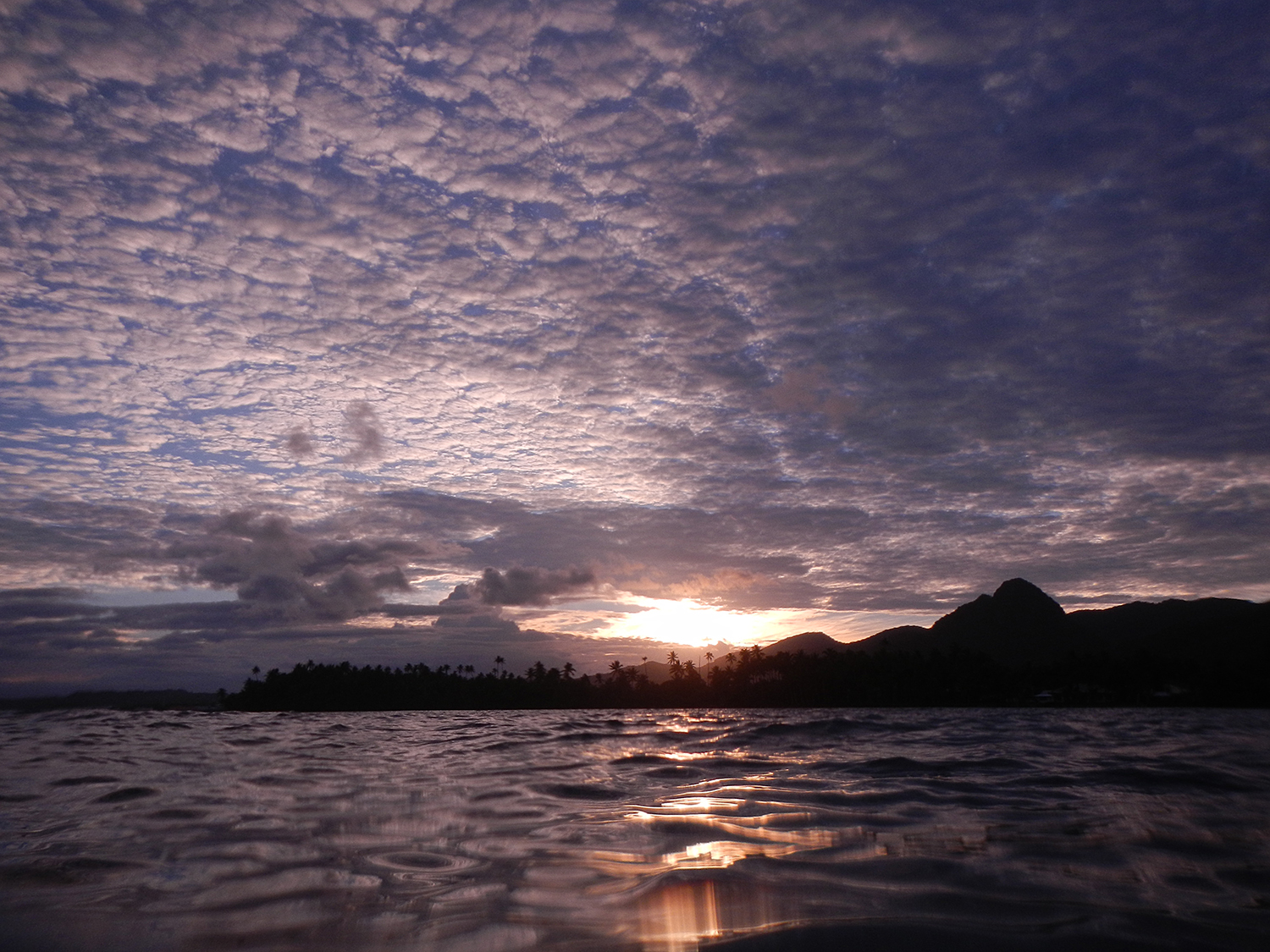
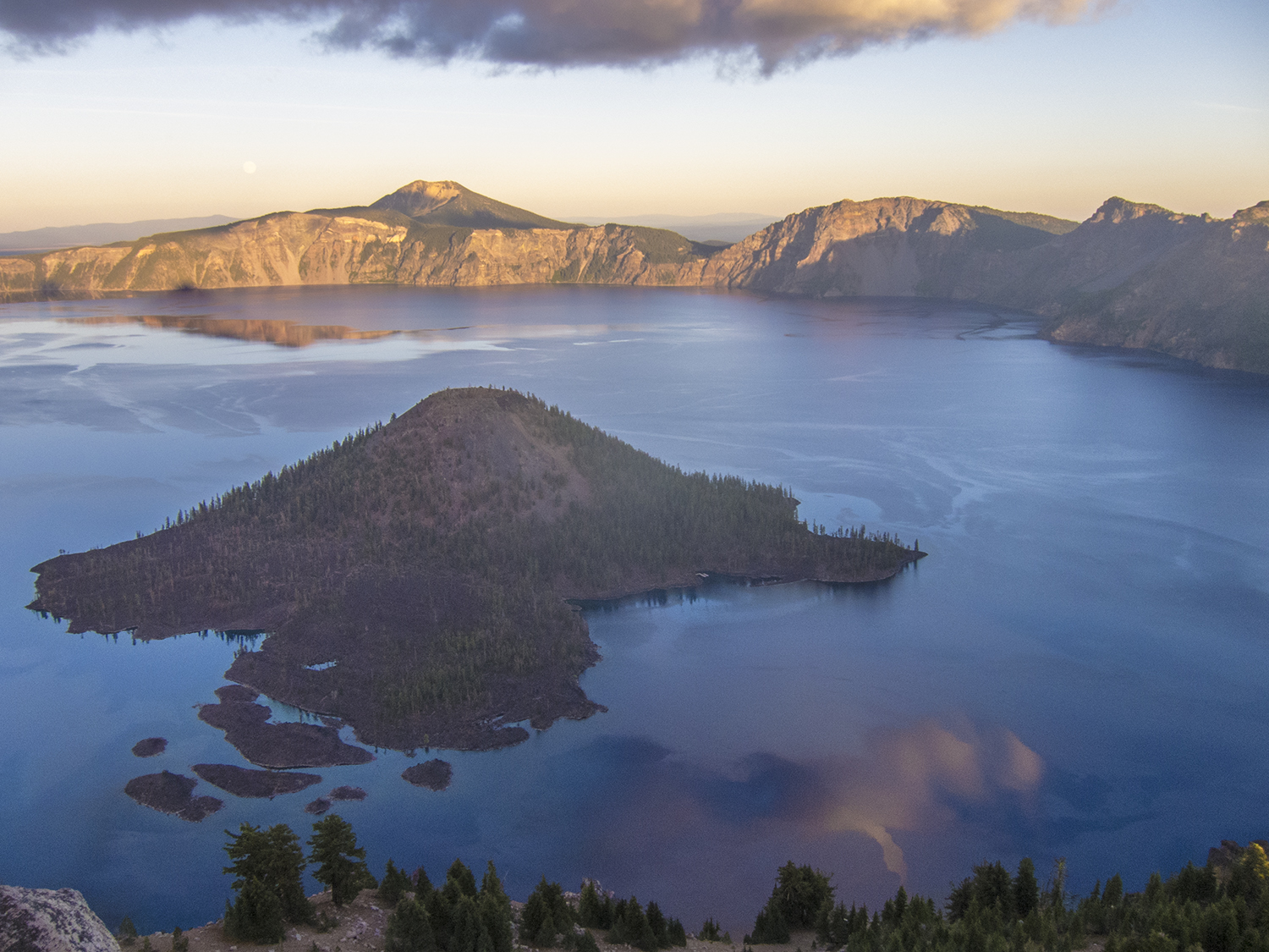
Taken at sunrise; the Colorado snakes out of the Glen Canyon Dam and begins its run through the Grand Canyon just a few miles downstream
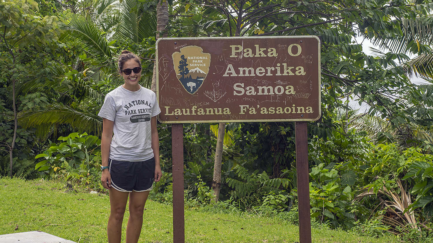
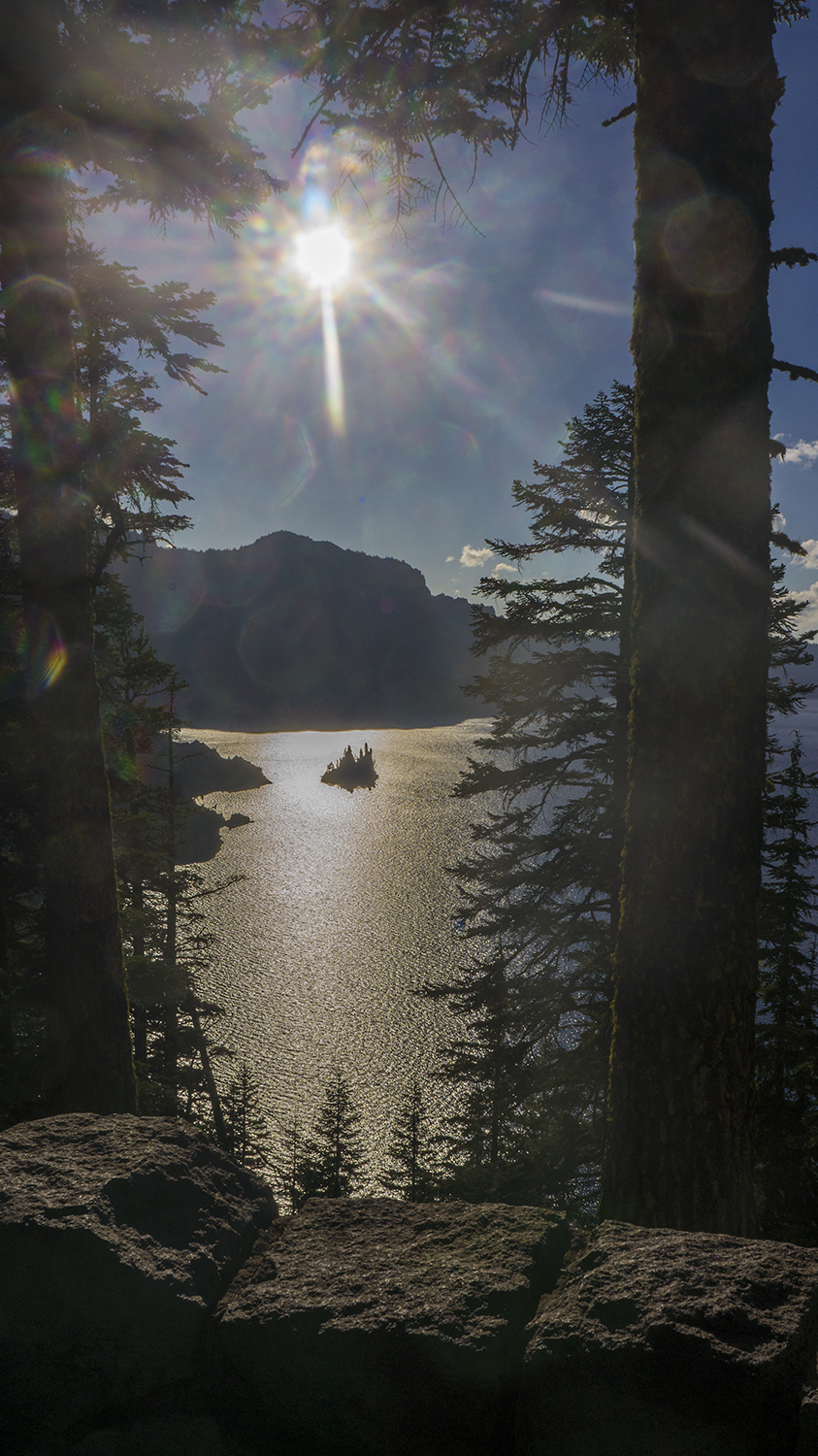
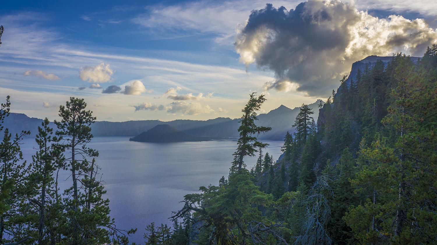
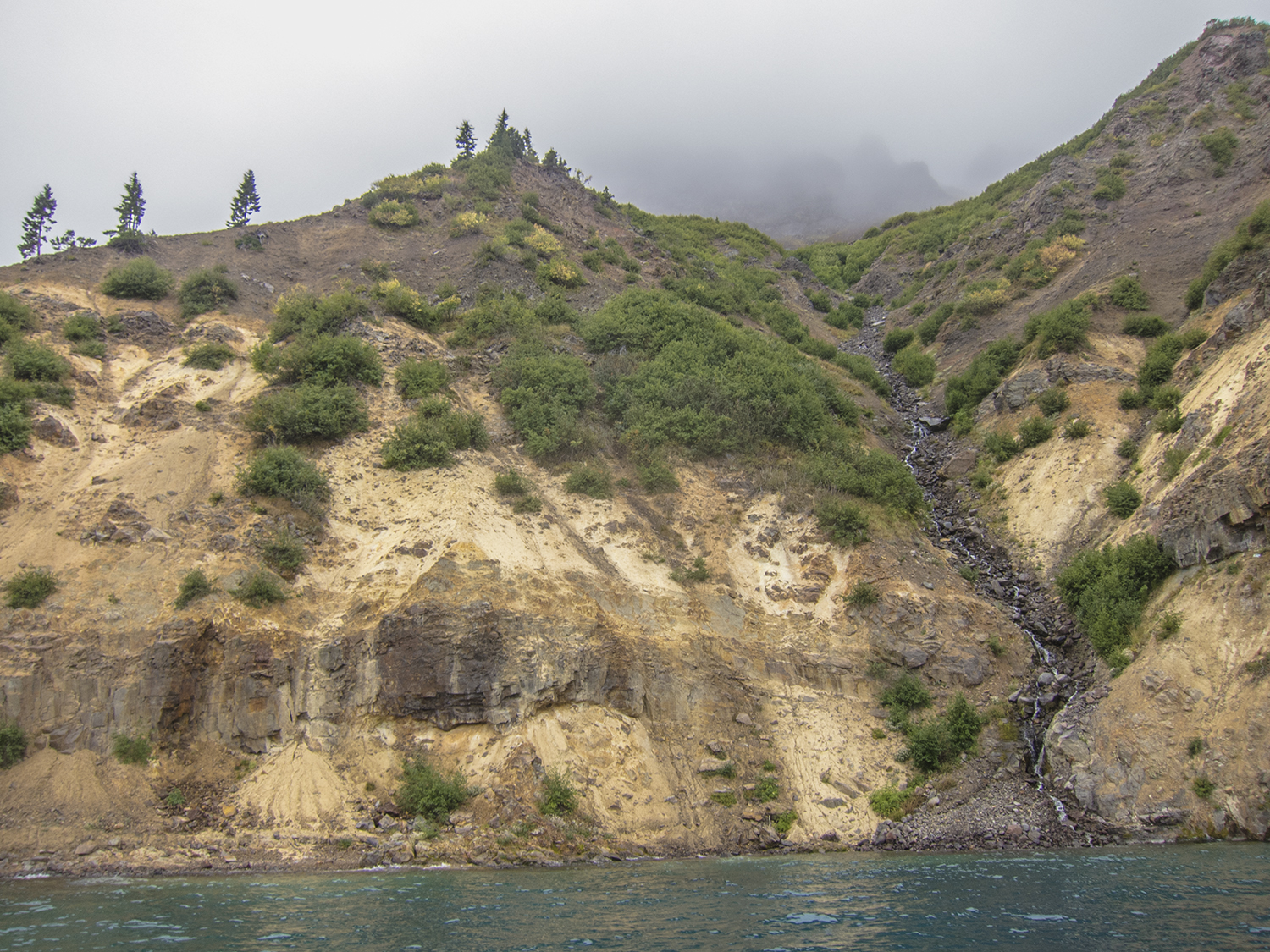
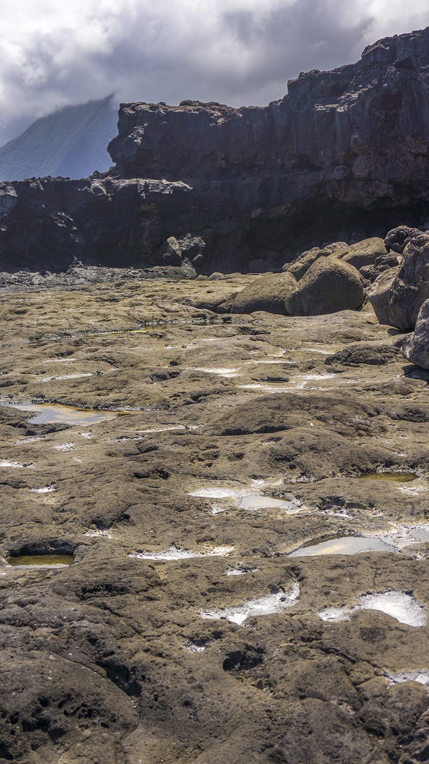
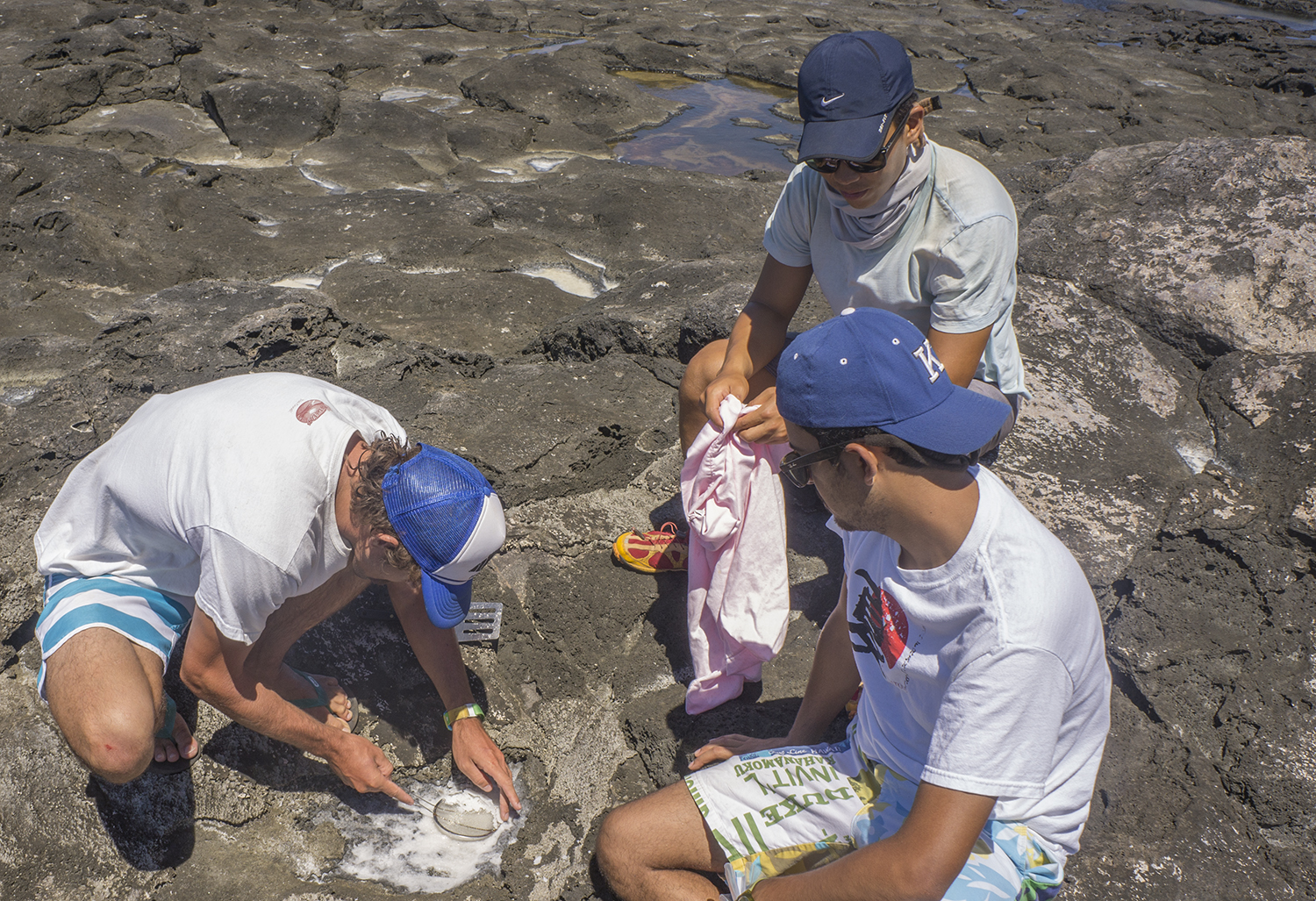
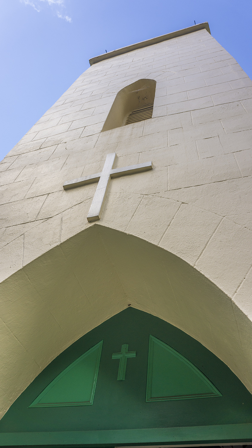
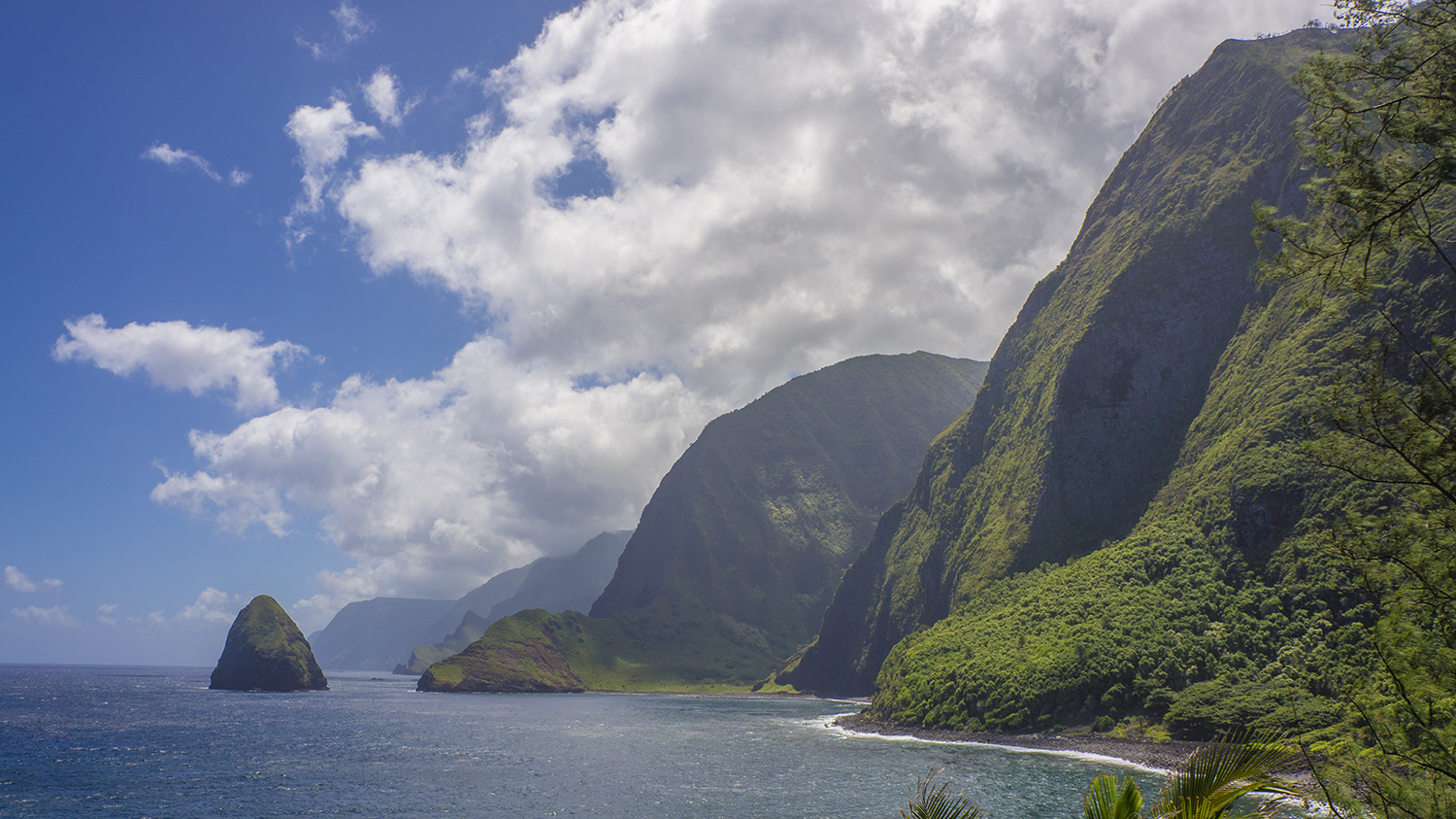
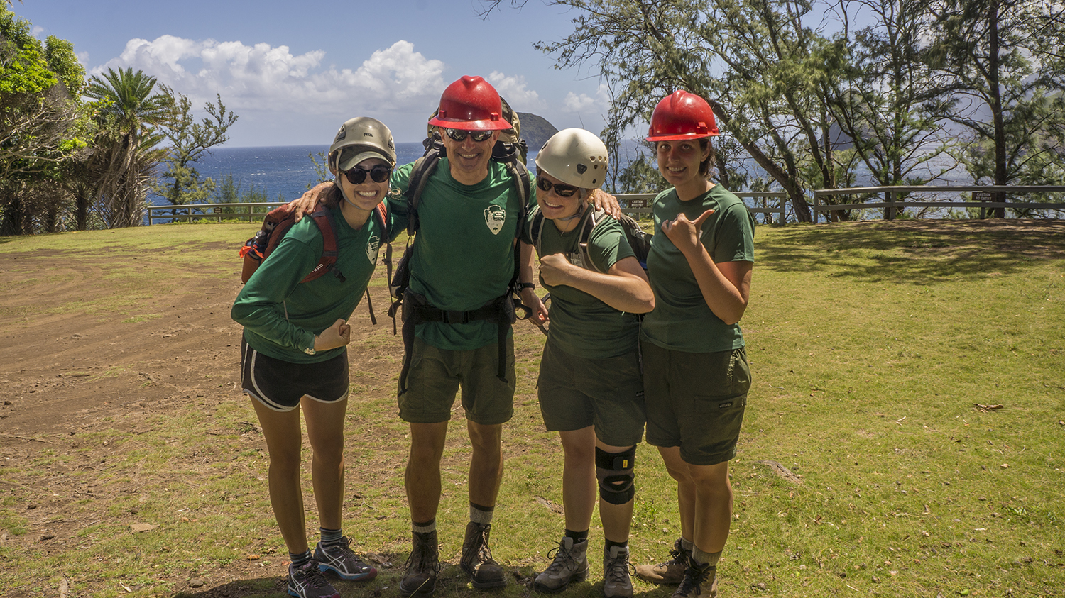
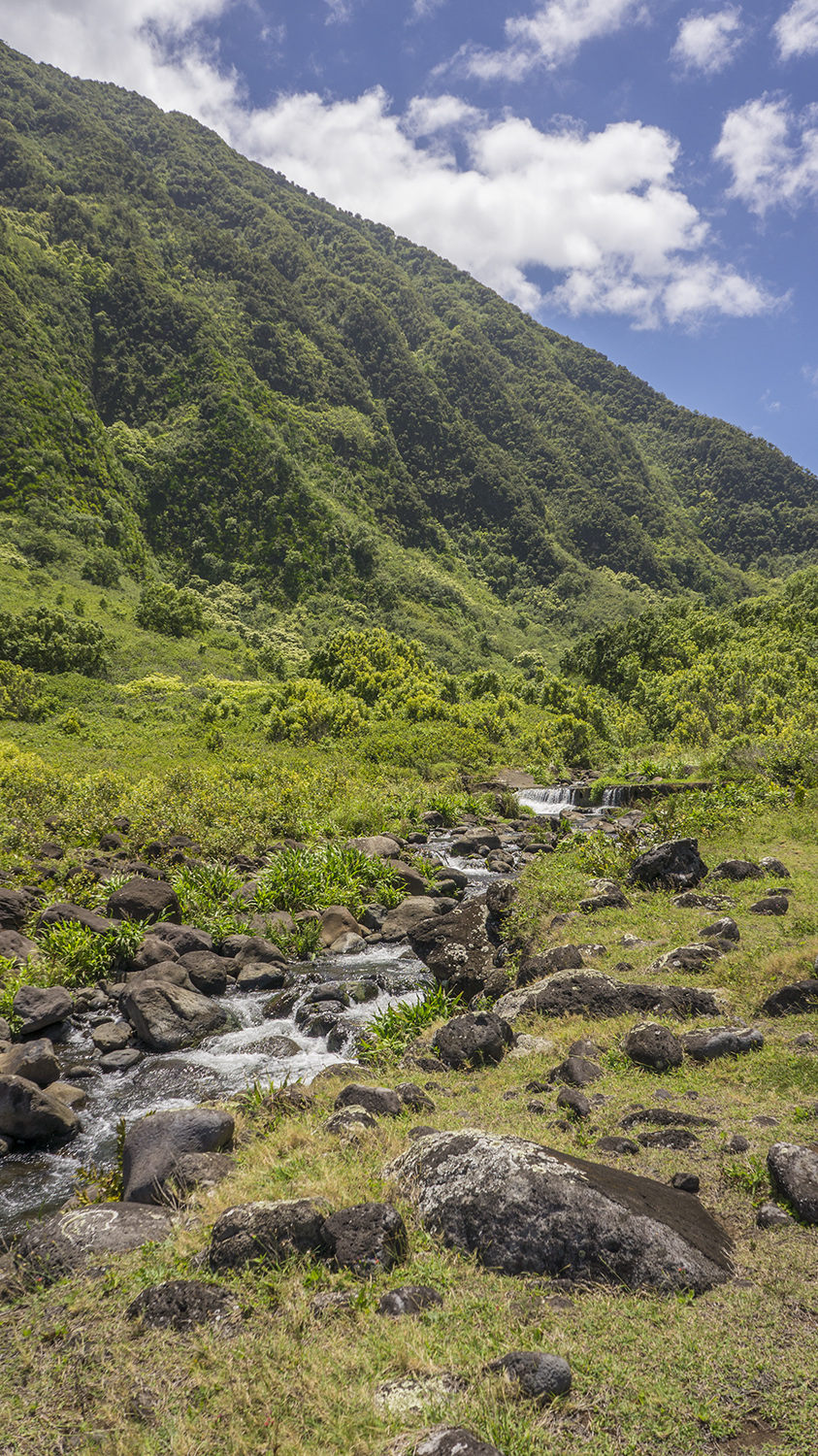
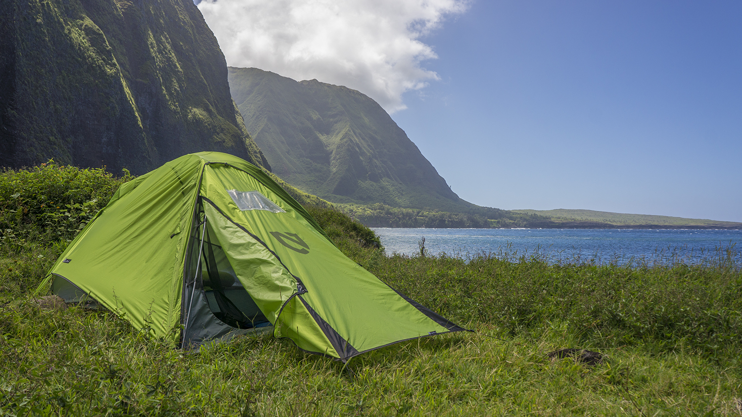
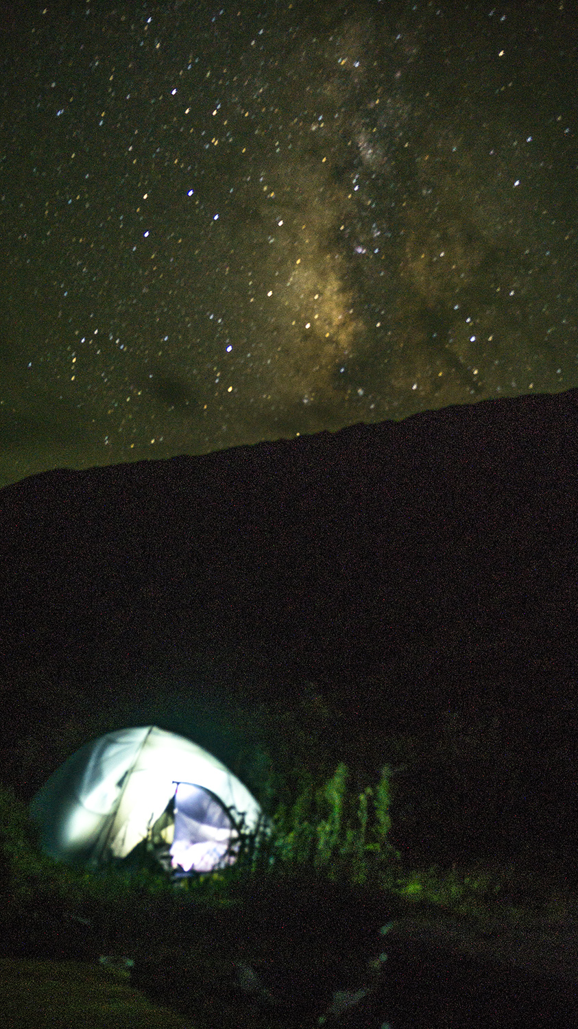
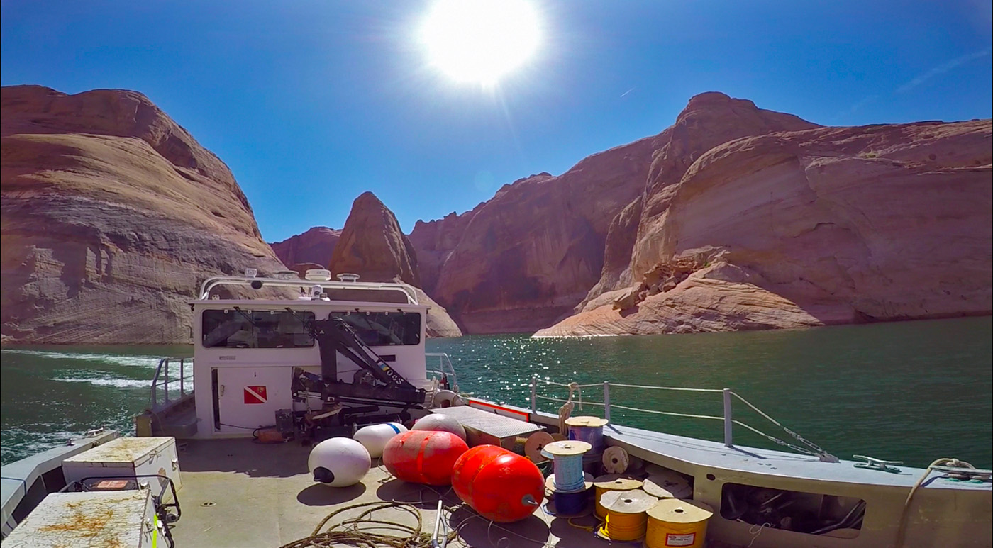
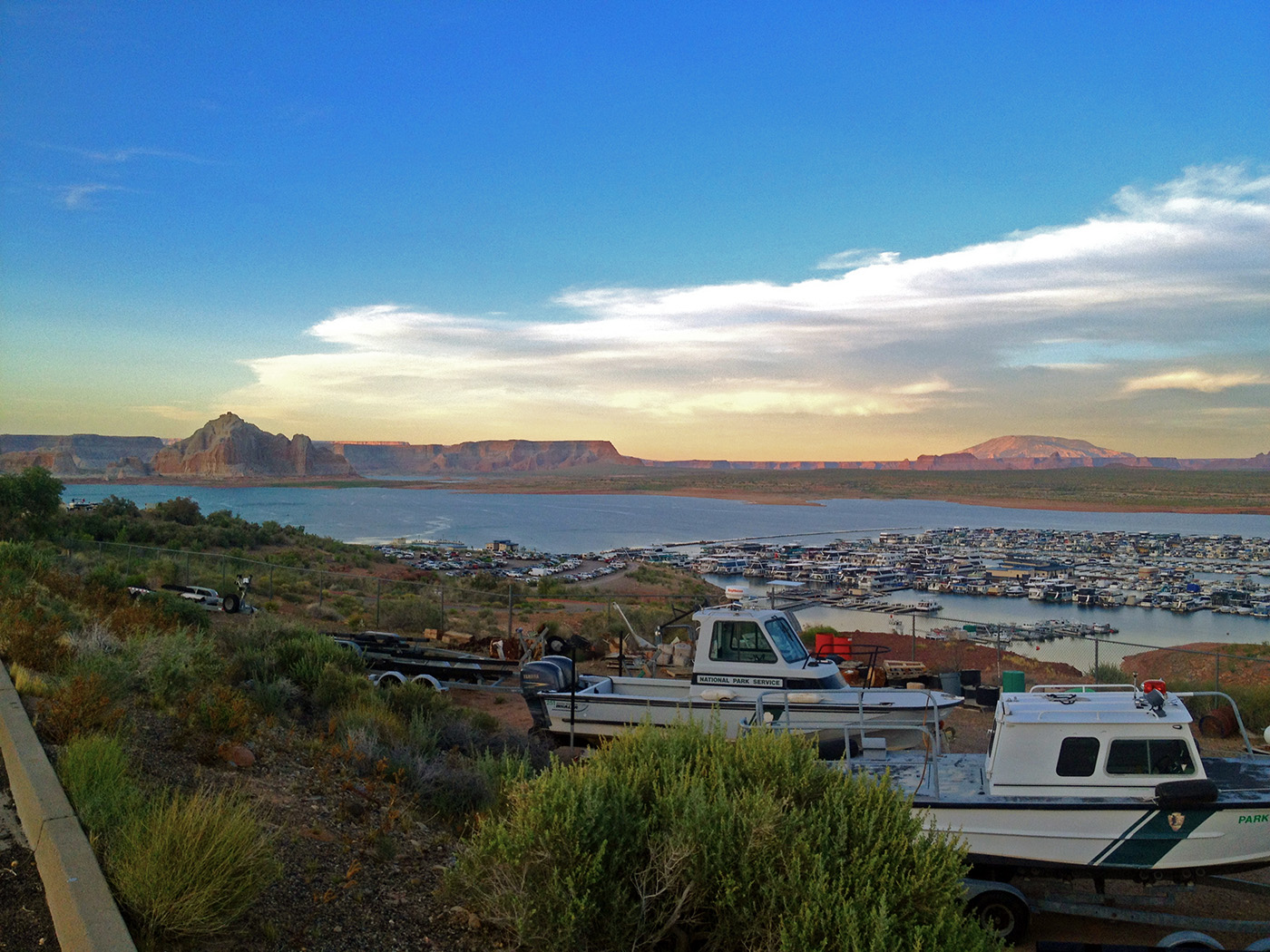
In Page, later that afternoon, I met up with Scott Norwood, the second in command for the GLCA Dive Team, and my supervisor for the week. After a brief visit to the dive locker and adjacent facilities, Scott took me on a tour of the surrounding area. Originally I wasn’t exactly excited about spending a week in Arizona. It’s hard to follow up American Samoa and Hawaii. But what I saw just around the Ranger Station took my breath away. And that was even before we got on the waters of Lake Powell. The bottom end of Lake Powell is stopped by the Glen Canyon dam, which controls the flow of the Colorado River through the Grand Canyon. All of the wonders of the Grand Canyon are reflected in the Glen Canyon National Recreation Area, though Lake Powell spaces everything out more. That night I was given the keys to a government Jeep and was off to camp at one of Scott’s favorite spots. I drifted off to sleep at the Lone Rock campground, under the Arizona stars, exceptionally glad to be on the quiet, sandy shores of Lake Powell.

The Cove or the Secret Spot, my secluded camping spot for the week.
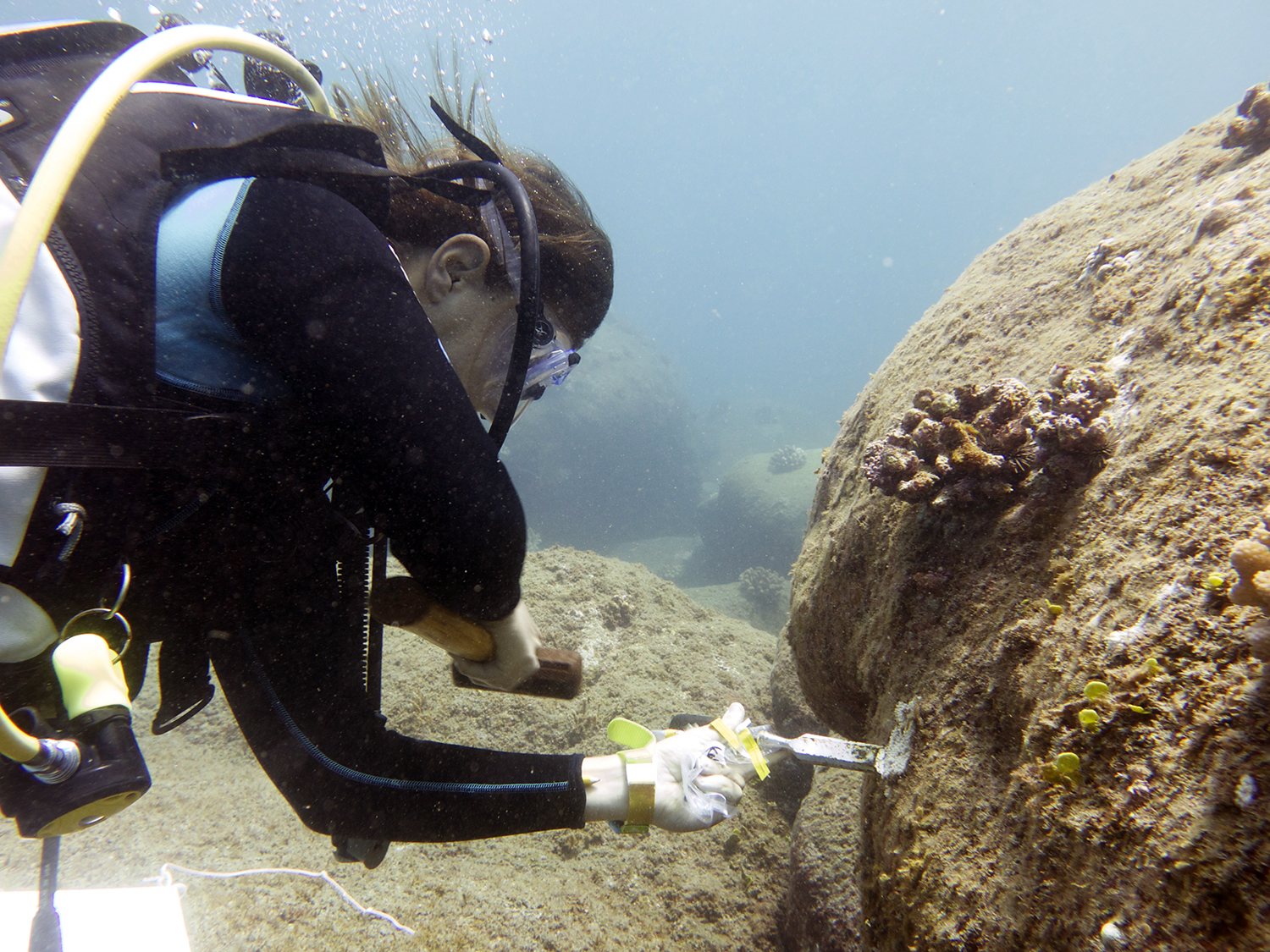
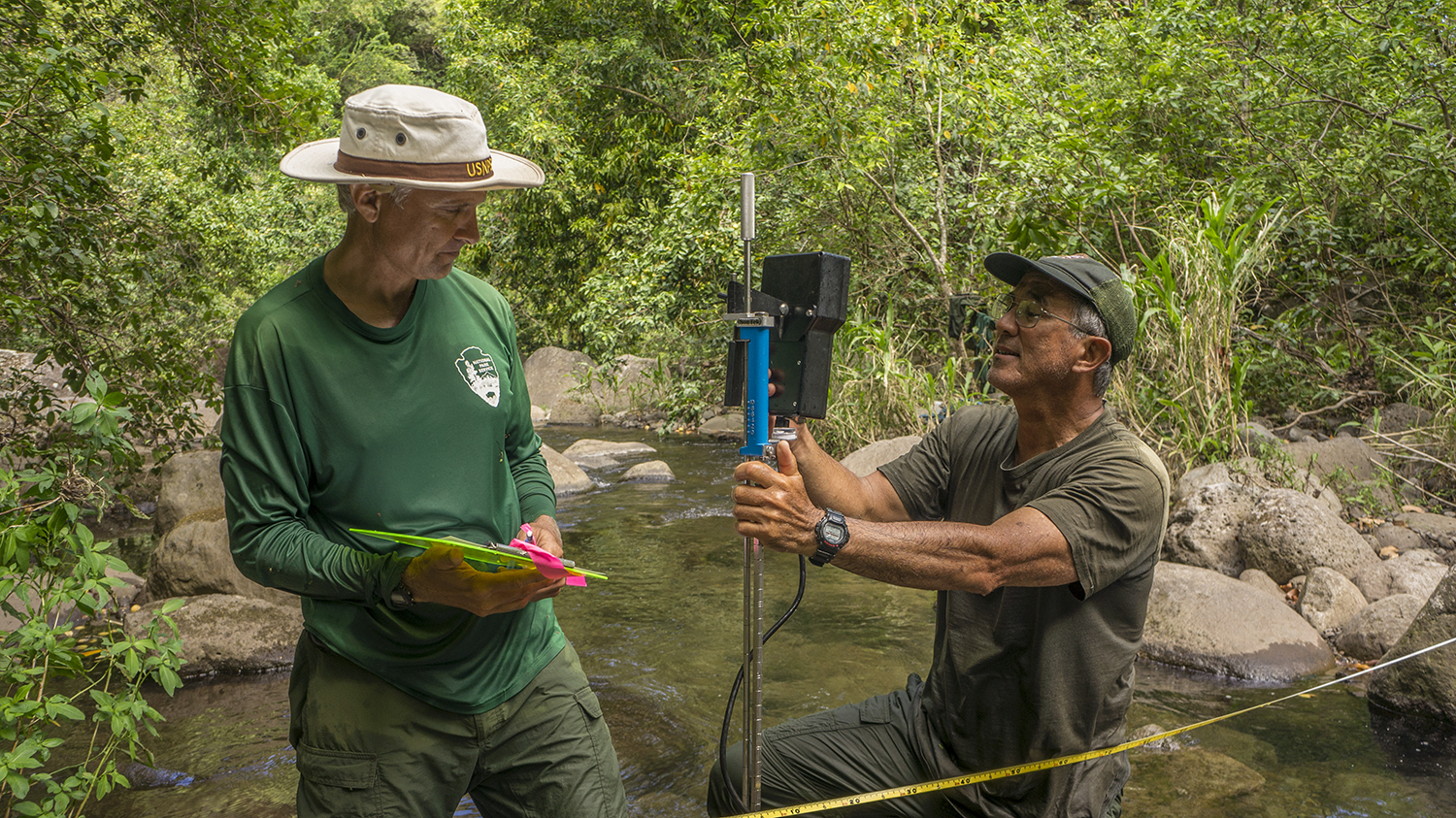
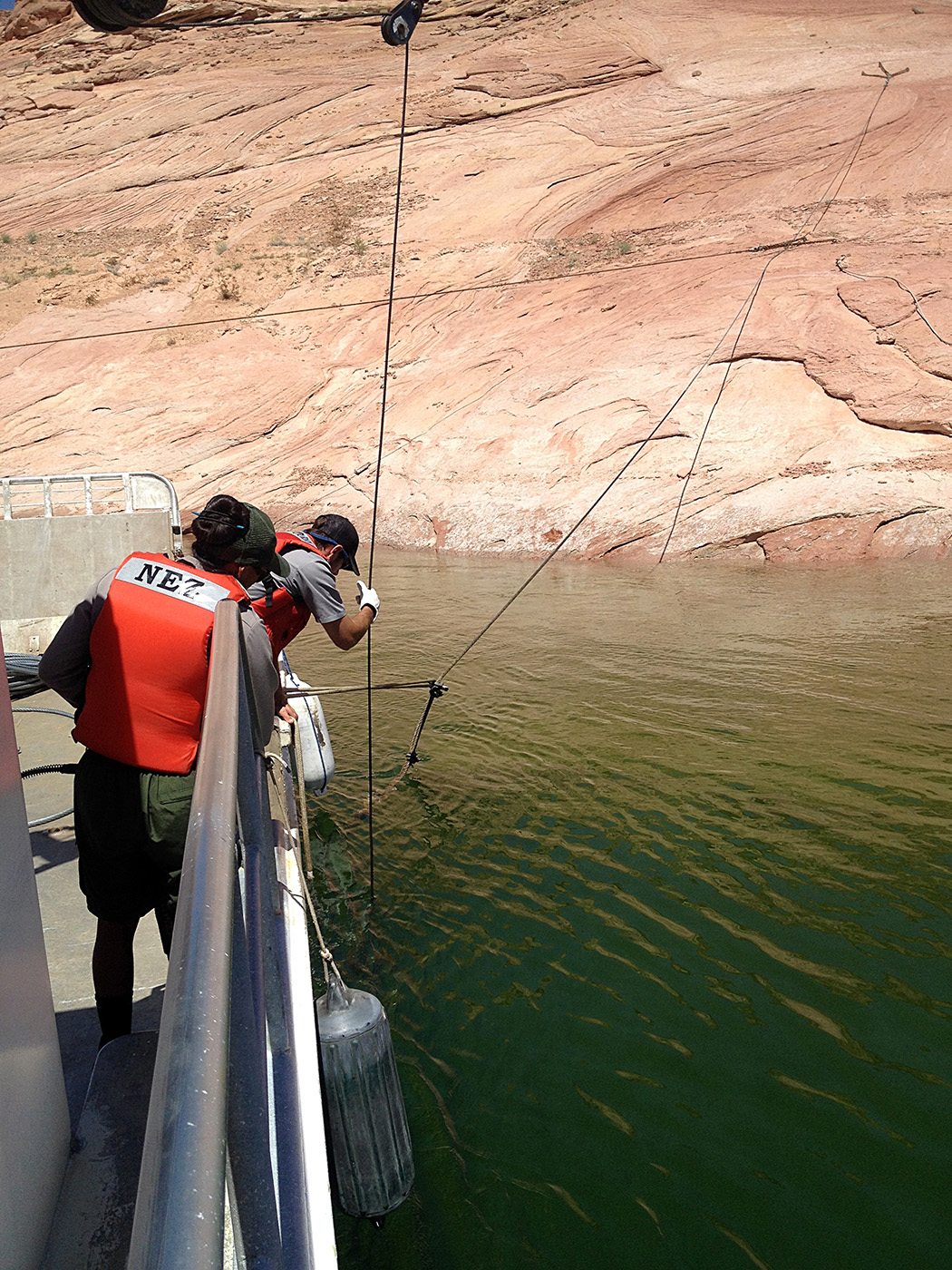
I’m not sure what I expected work to be like at GLCA, the only diving we had planned was a dry suit check out later that week. But I definitely got to witness just how hard it is to run a park with thousands of visitors, mostly on the water, everyday. GLCA is a huge recreation area, and is famous for its houseboats. Because the lake draws so many visitors every year, the Park Service has its hands full all summer. All of the docks, both private and government, are floating but moored to the bottom and chained to the shore via heavy wire rope. However, as the steel rusts and erodes, and as the water level changes, the docks need to be moved and the cables replaced. Work in the park starts early, by 6 am you’re expected to be caffeinated and ready to head into the field. The day gets hot quickly and no one wants to be too exposed to the sun for too long.

I’ve worked in some cold places before, but the juxtaposition of seeing the NPS’s diving insignia next to a warning sign about freezing water was still novel to me. Especially since the temperature soared well into the 90’s while I was there.
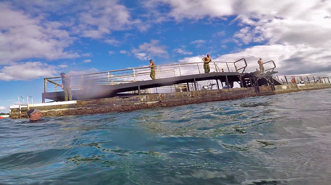
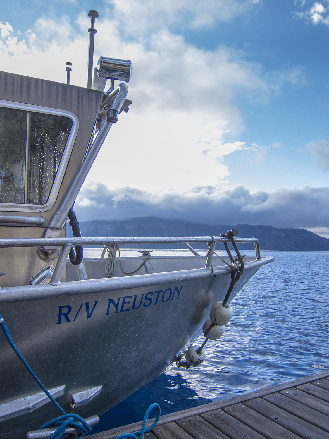
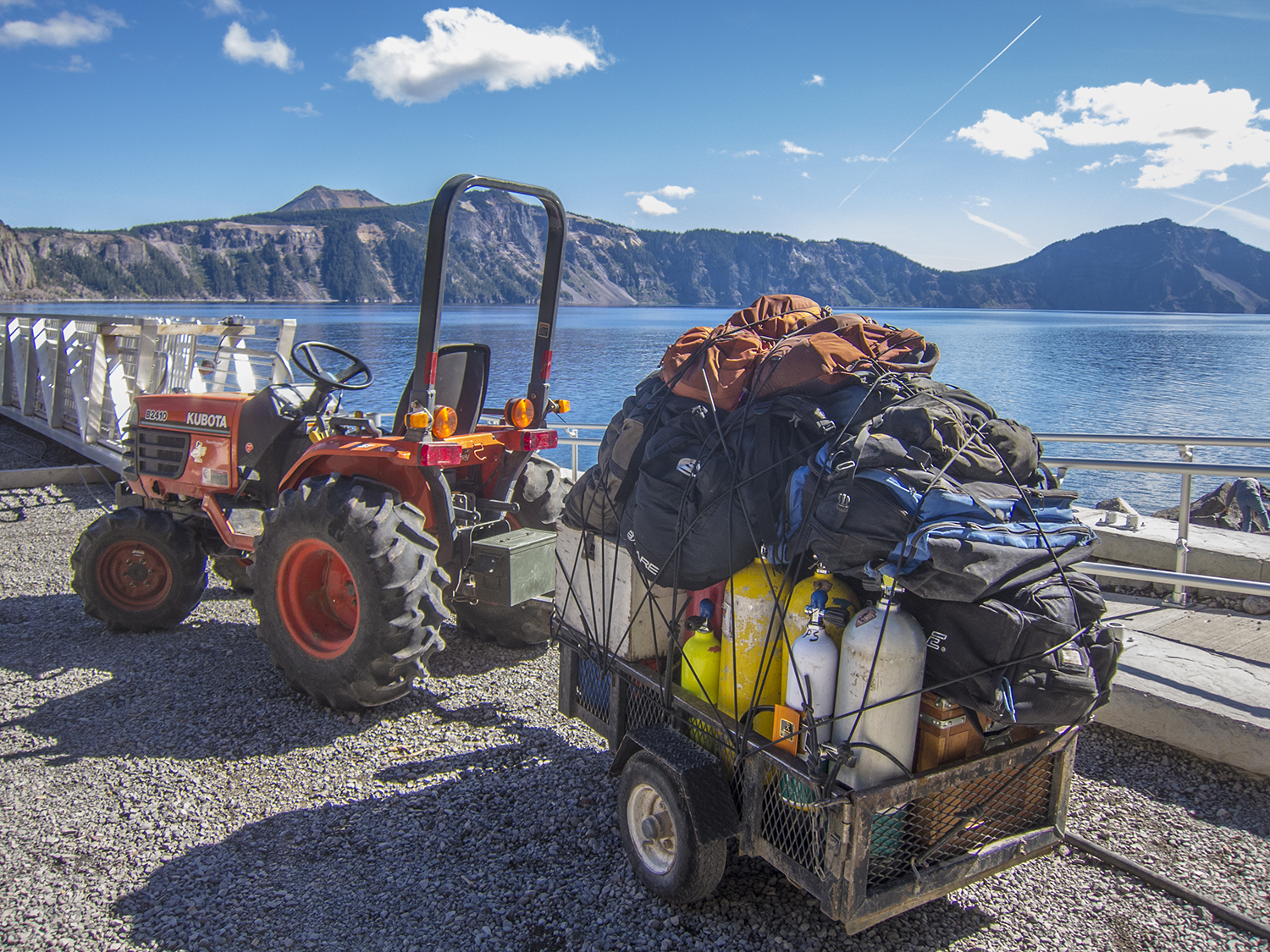
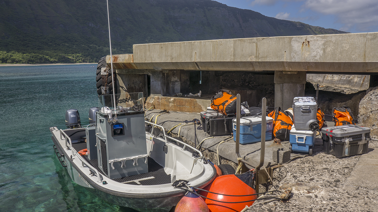
We set to work moving cables, and prepping the boat for the day. The majority of GLCA is on the water, so the park service maintains a flotilla of multi purpose workboats. The dive team, which has a legacy of excellence through the NPS, uses a 46ft flat-bottomed vessel as its workhorse. Of all the dive boats I’ve been on this one, the 450, was by far the most impressive.
We spent the day, and the better part of the week, meandering through the finger canyons of the lake replacing wire rope and moving docks at places like Dangling Rope and Rainbow Bridge, both popular recreation spots. On our way around the lake we occasionally stopped to service navigation buoys or help out-of-luck boaters. During the course of the week we worked long and hot hours, using heavy equipment and working hard. But every night I got to sleep under the stars, which was a welcomed change from sleeping on couches and planes.

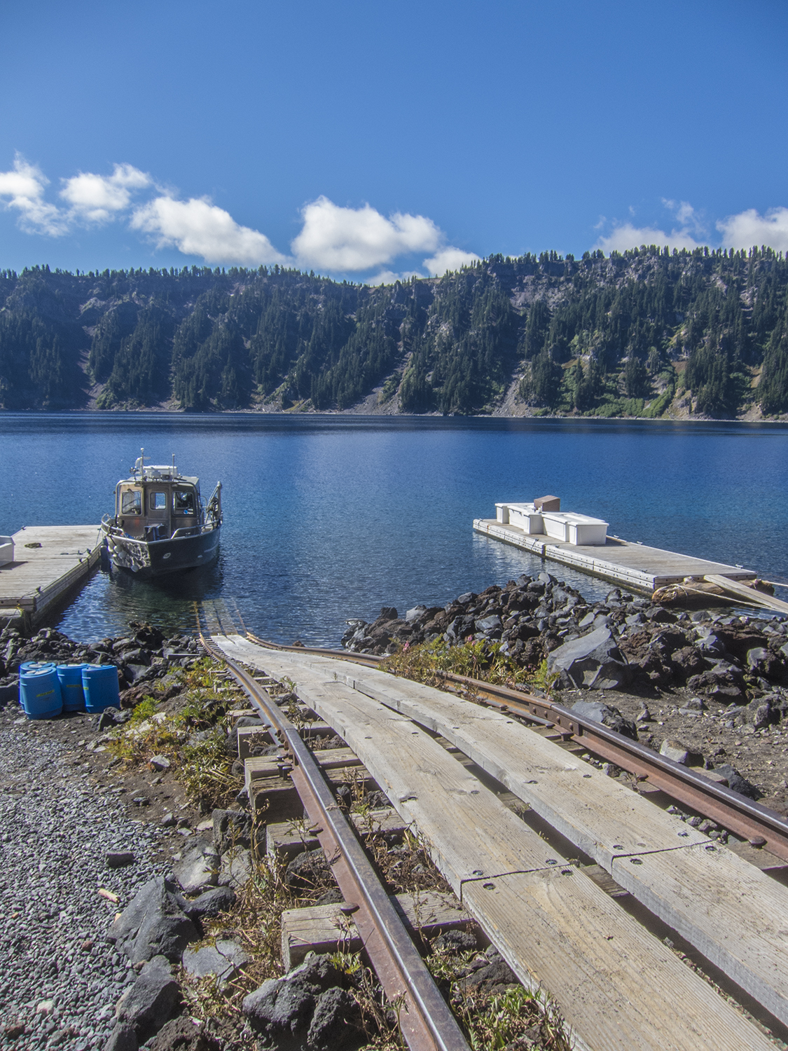
One of the floating docks the Park Service maintains. This one leads to Rainbow Bridge, about a mile hike up from the dock.
-
- Maintenance on the water in the Park is no easy feat, especially considering how hot it can get. Not to mention that wire rope is under thousands of pounds of pressure.
-
- The dive team does a lot of maintenance work at the park. As water levels rise and fall the docks must be raised and lowered accordingly.
-
- The Park Service’s dive boat. A flat-bottomed workhorse, this boat is probably the coolest dive boat I’ve ever worked off of.

-
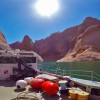
- Another shot of the 450, here you can see the hydraulic crane, some buoys and rusted wire rope in the foreground, and other equipment necessary for park maintenance.
-
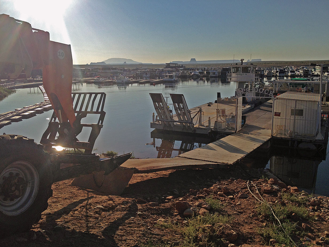
- Taken from the dive locker, this shot only reveals a small portion of the chaotic swarm of houseboats that flock to Lake Powell every summer.
-

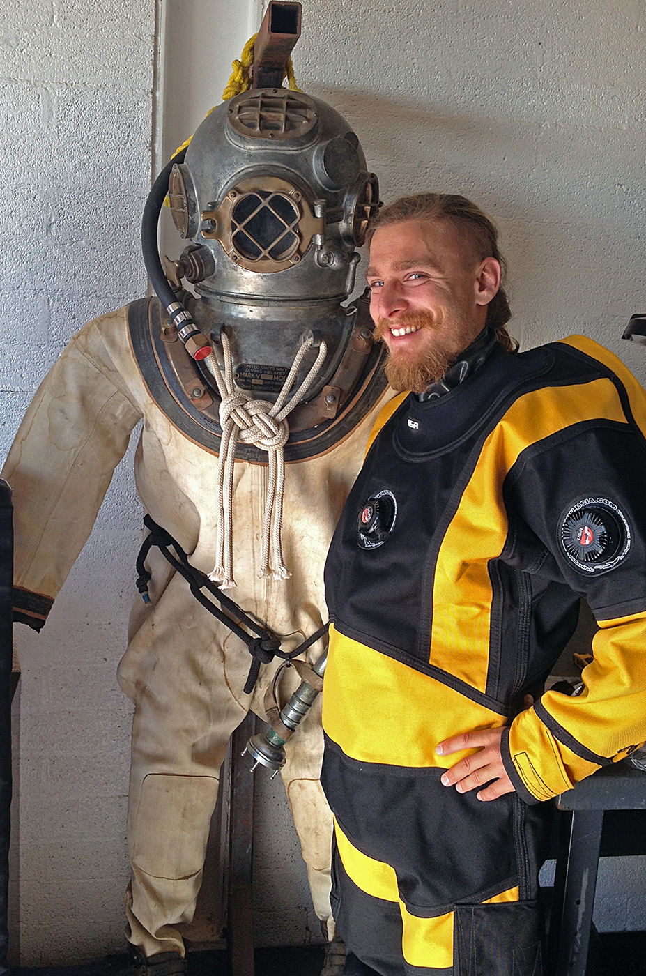
- Testing out my drysuit at the dive locker, I made friends with this relic from diving’s not so distant past.

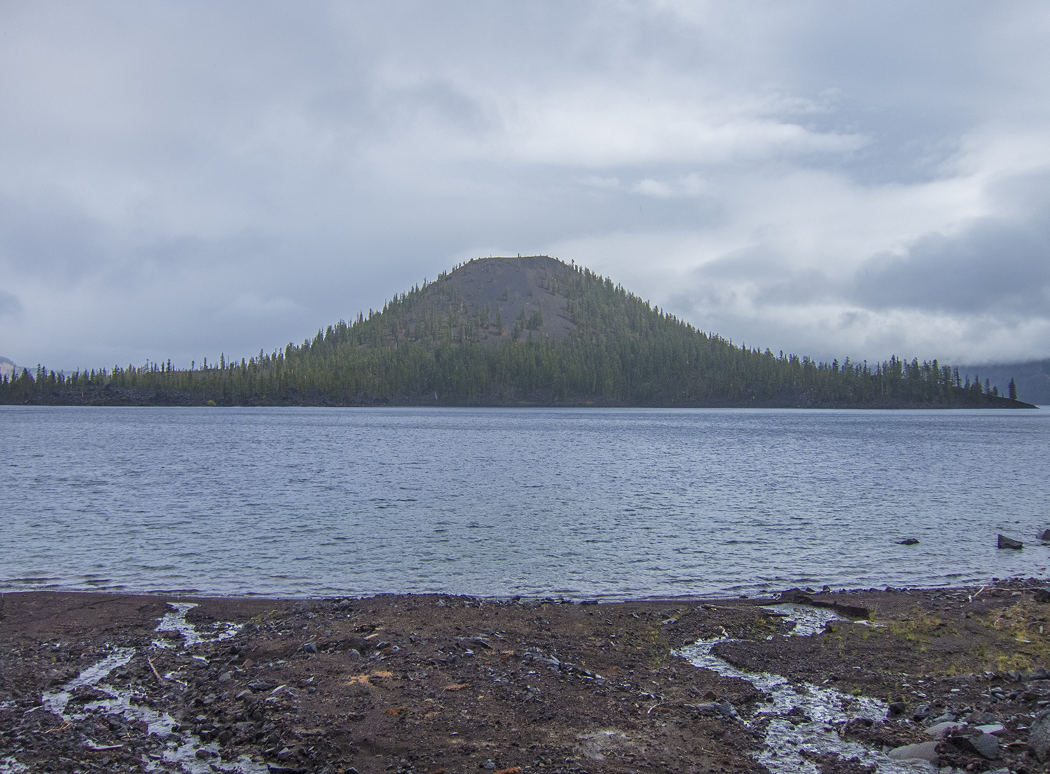
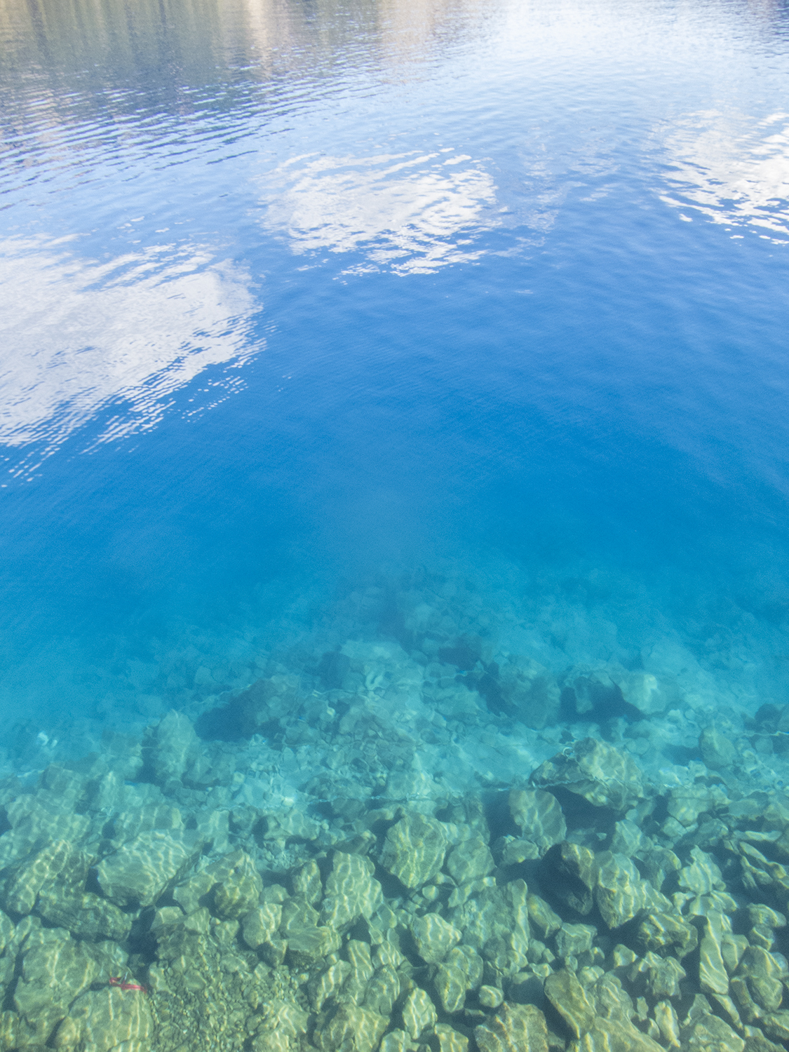
Just another gorgeous shot of the Lake Powell in the morning. Taken from my campsite.
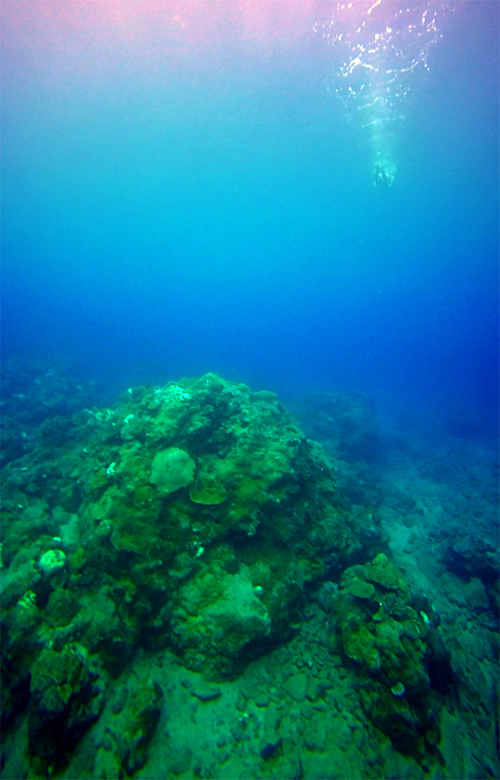
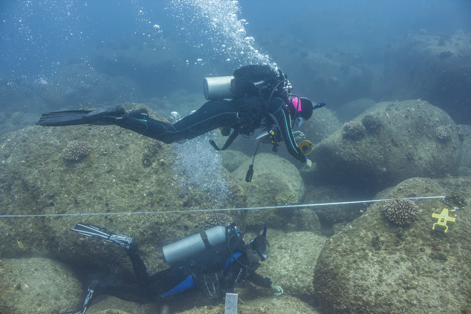
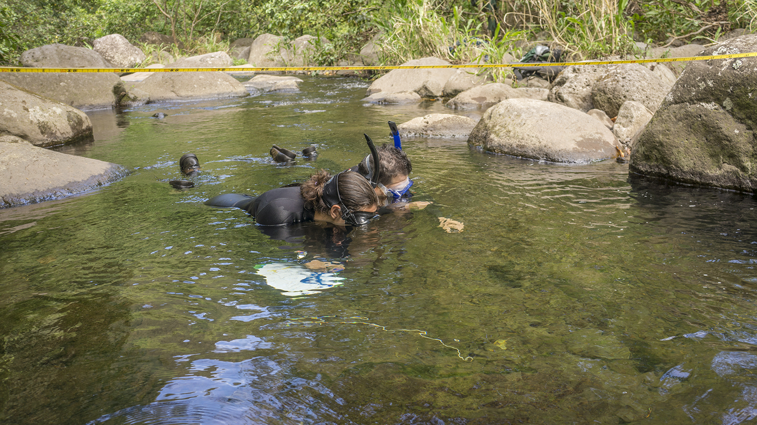
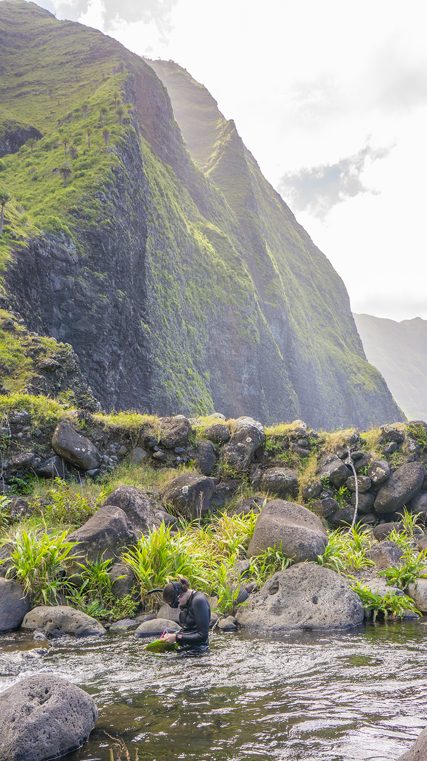
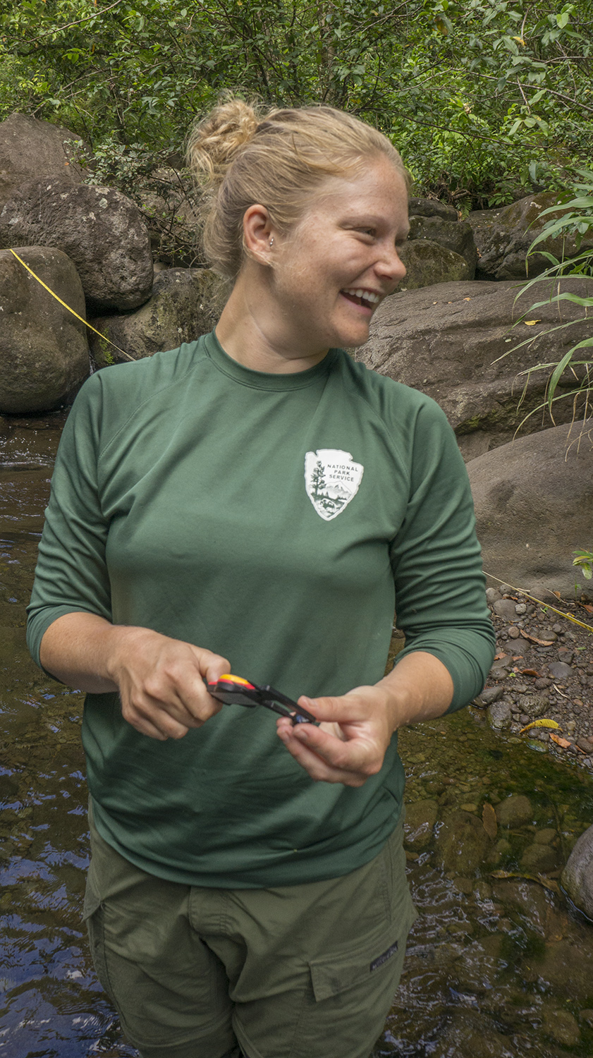
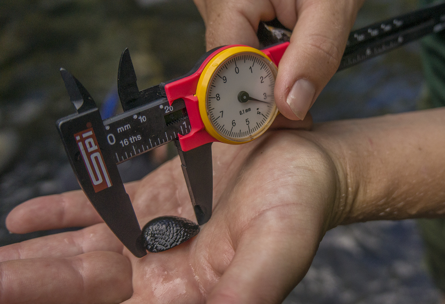
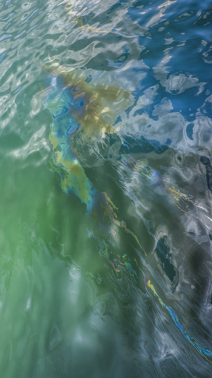
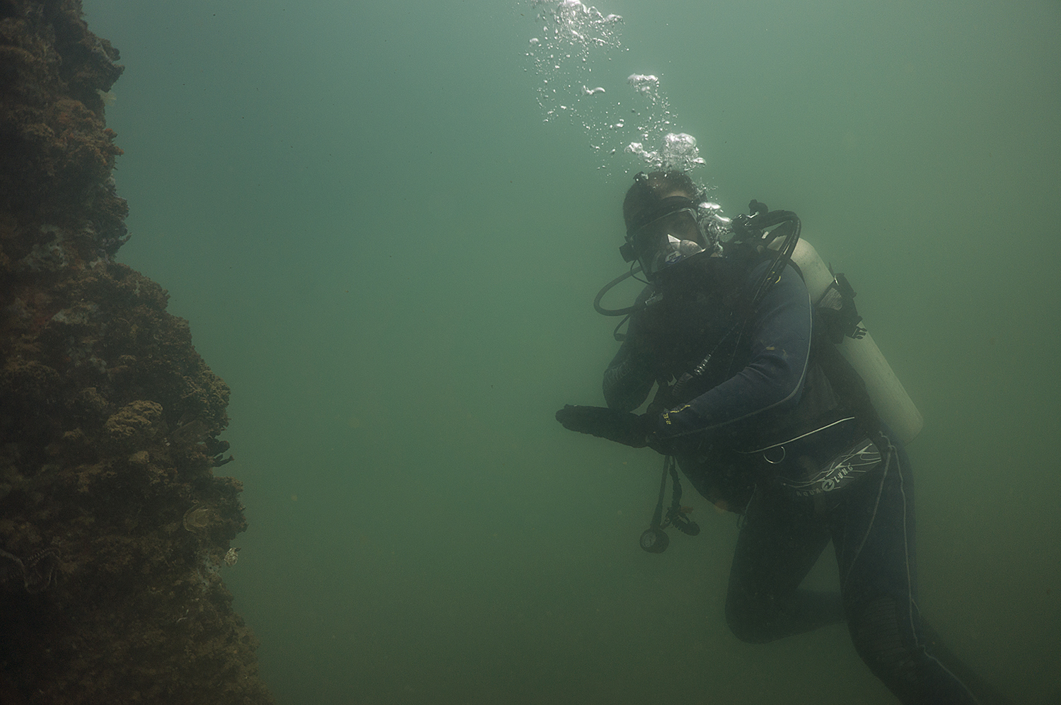
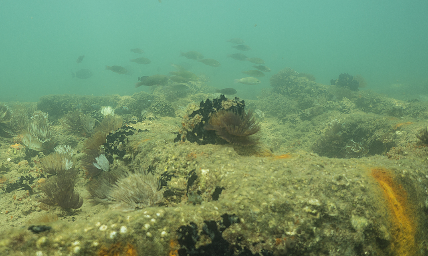
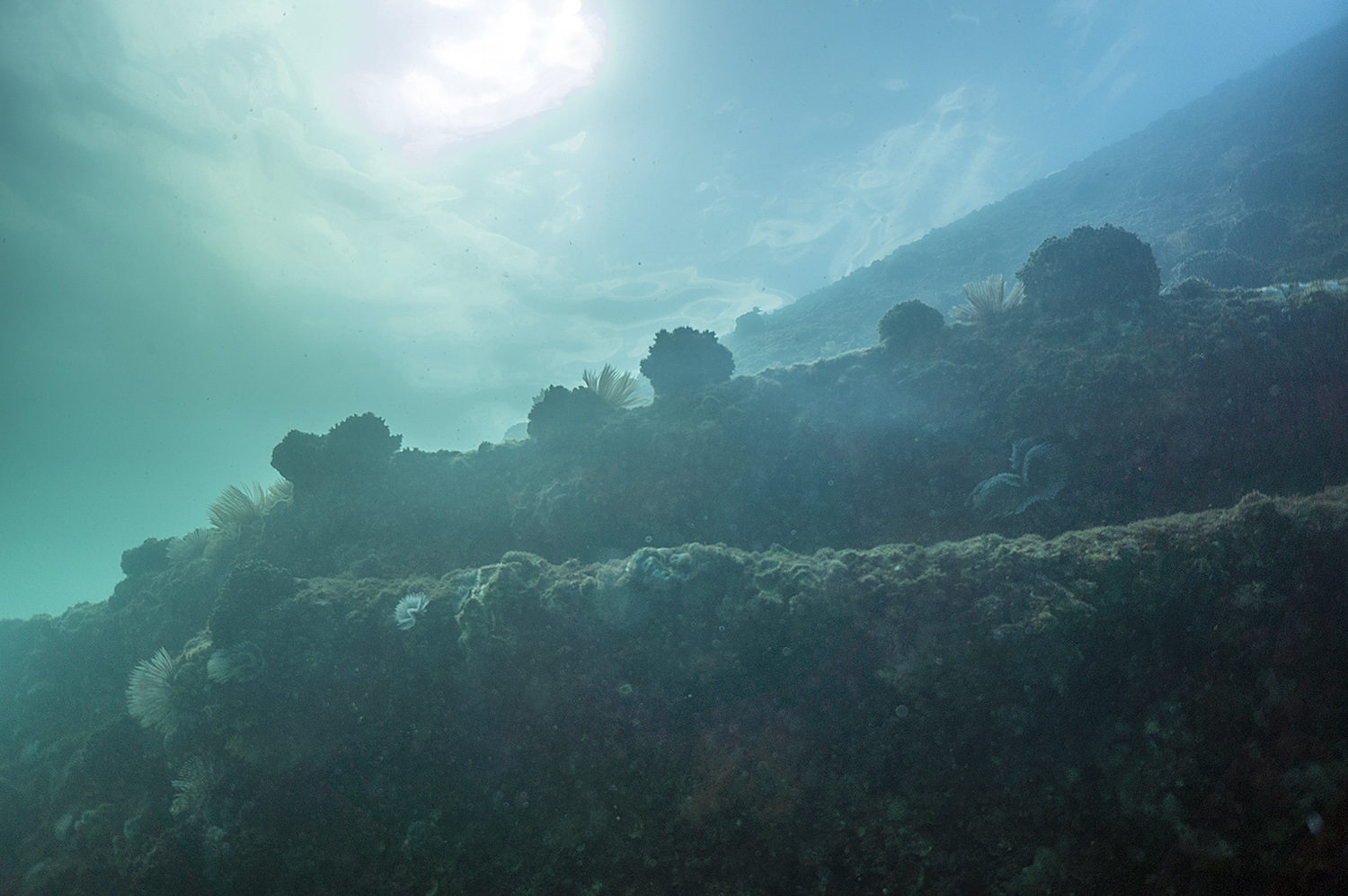
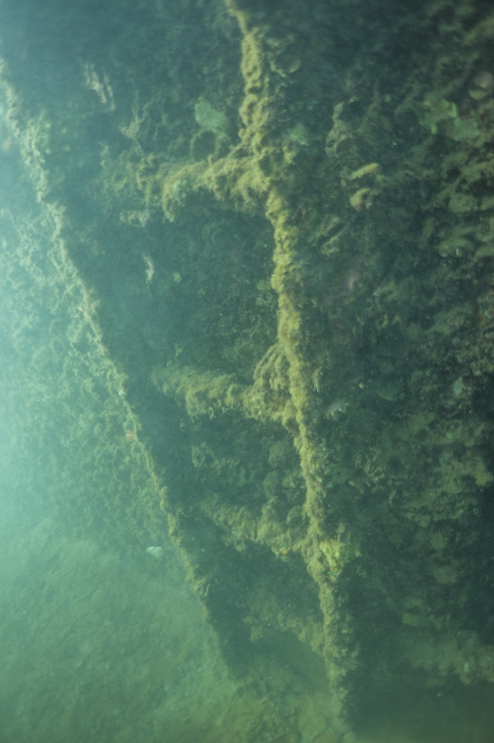
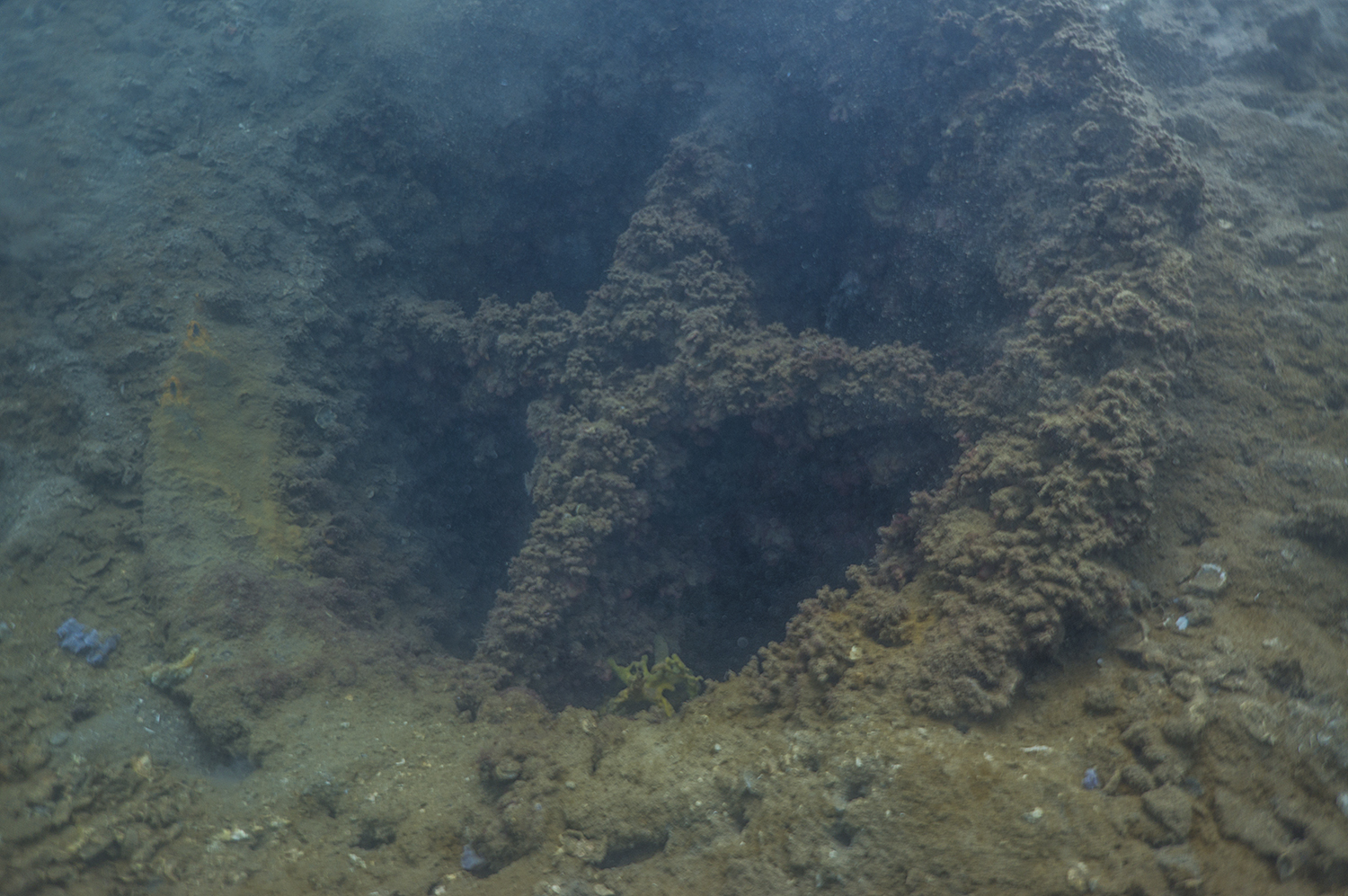
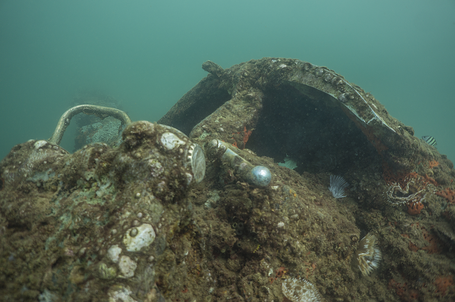
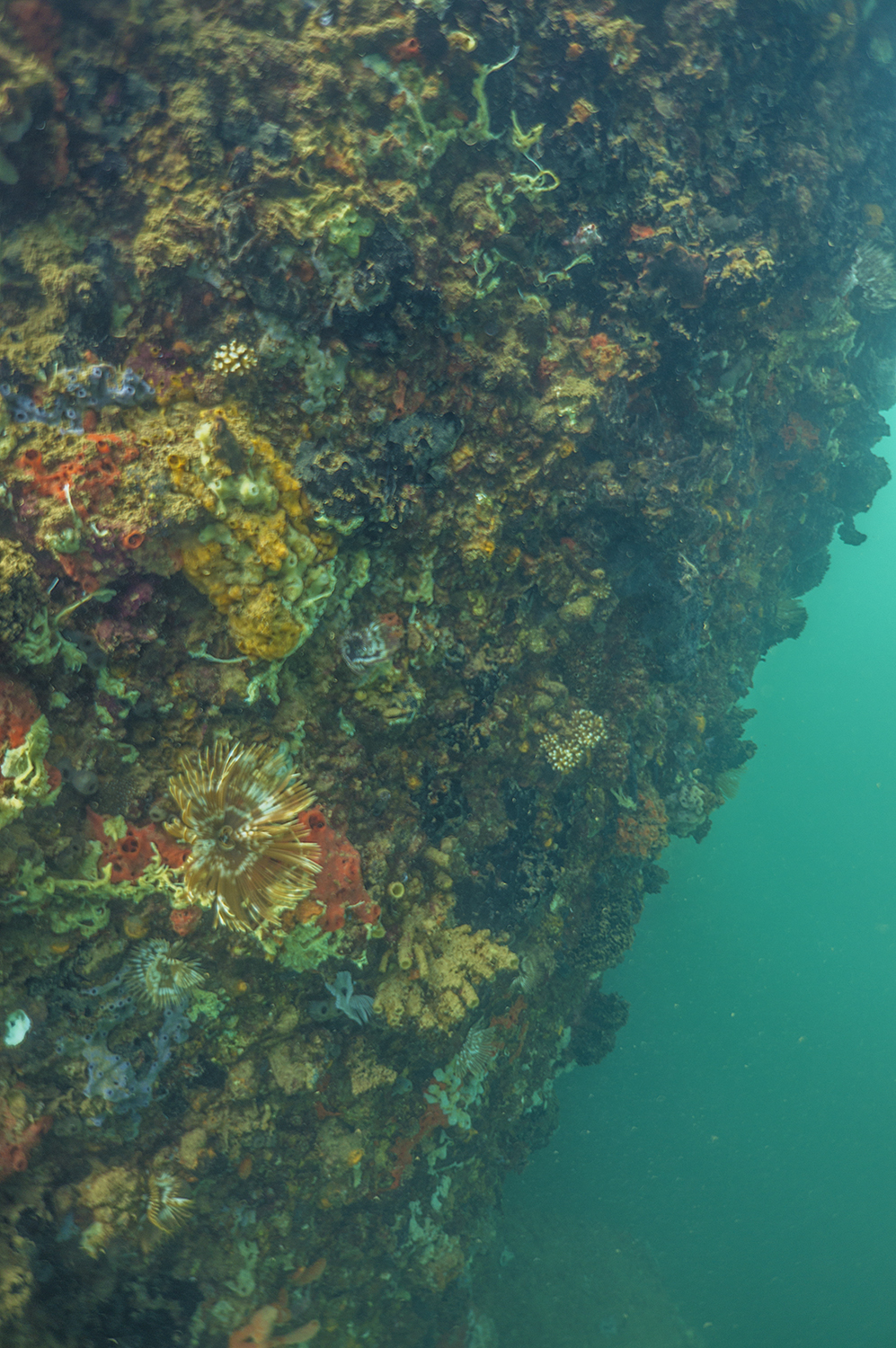
However, midweek I got to done my dry suit, which was shipped to GLCA from the good folks at USIA, and jump in the green waters of Lake Powell. I didn’t have much experience in a dry suit, but Scott has spent 5 years with US Navy’s Mobile Diving and Salvage Unit (MDSU) and is an expert diver. We did a quick tour of the government dock and then took the 450 to the “log boom”, just a 1/4 mile above the dam. While replacing the chain on the boom, which catches floating debris before it gets caught in the dam, someone had managed to drop a heavy metal ring used to keep the chain from getting tangled. The substrate underwater mirrors the land above. The sandstone cliffs drop into the abyss, in some places over 400 feet down, with an occasional ledge or two at about 30 feet and 60 ft. Scott and I had planned to drop down the log boom’s anchor chain to about 60ft to look for the ring for no more than 10 minutes. Miraculously we dropped right on top of it in 30ft of water and were able to enjoy the eerie green water for a few minutes. Lake Powell, like many other freshwater lakes in the United States, is badly affected by an invasive mussel, which covers everything in the lake not made of sandstone. Afterwards, Scott and I did two more dives on the Antelope Point launch ramp, doing dock surveys and a ‘salvage’ dive, i.e. treasure hunting for refuse left by careless boaters. Though we mostly picked up fishing line, trash, and beer cans, occasionally some lucky Park Service diver finds a camera or a watch.

Getting ready to jump in the water for some equipment recovery. Our divesite was just about ¼ mile above the Glen Canyon Dam.

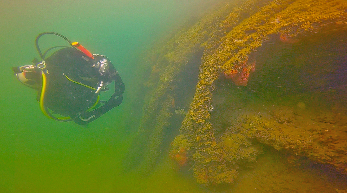
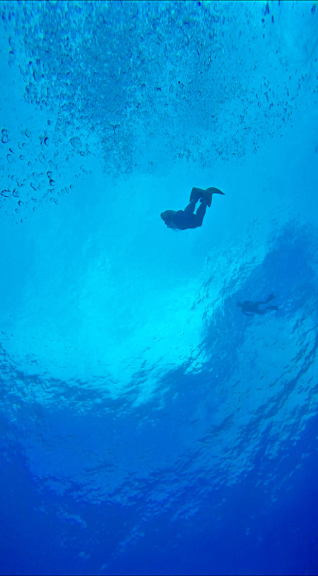
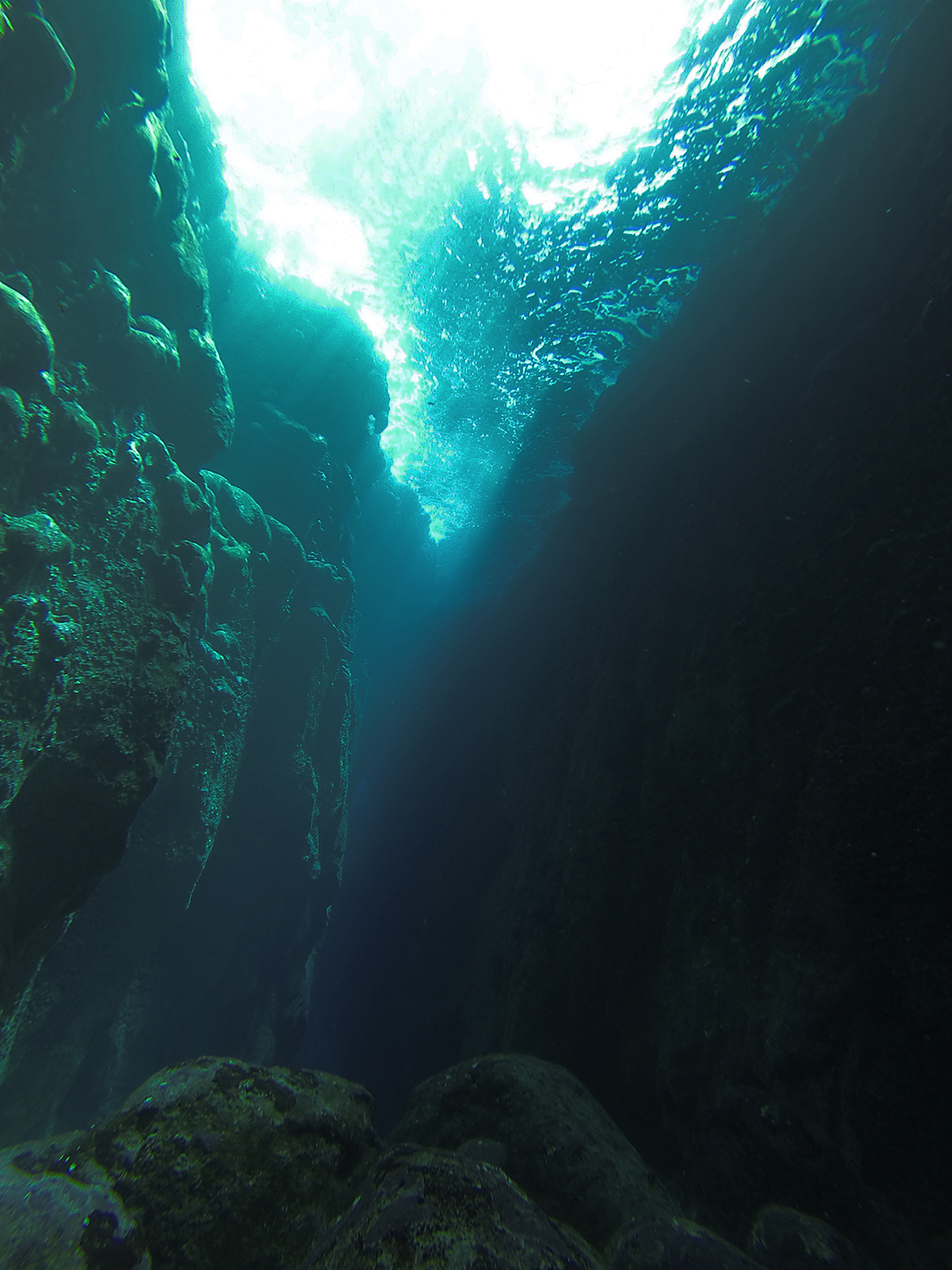
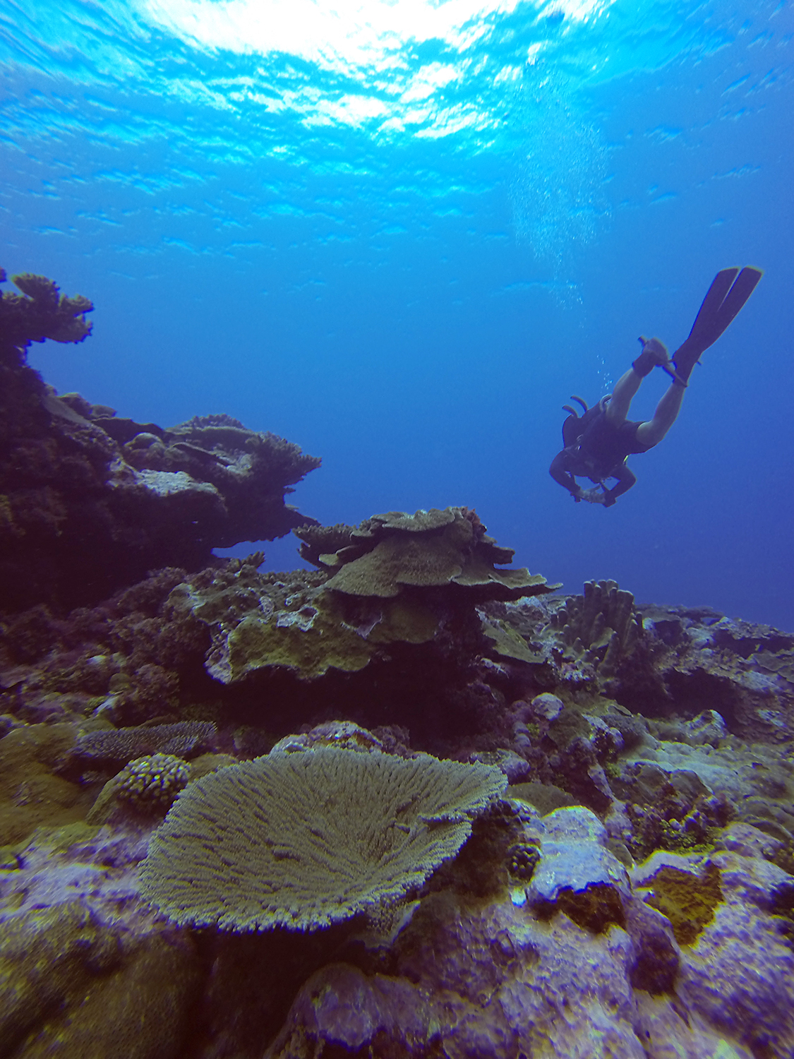
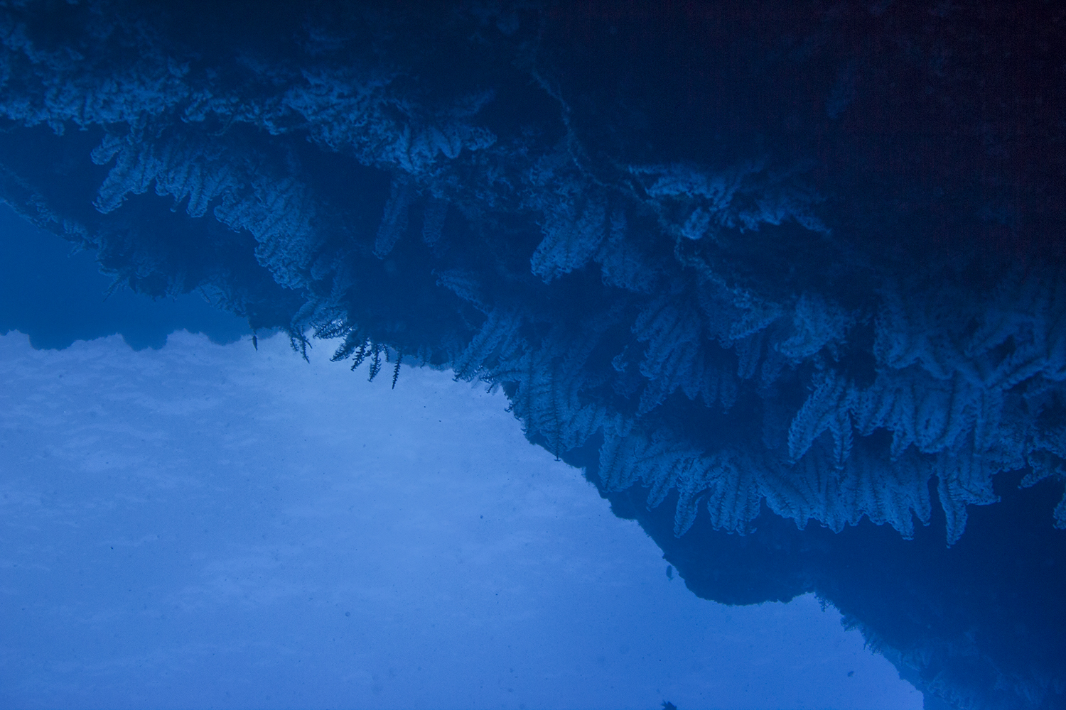
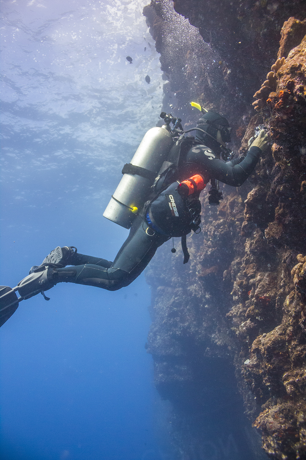
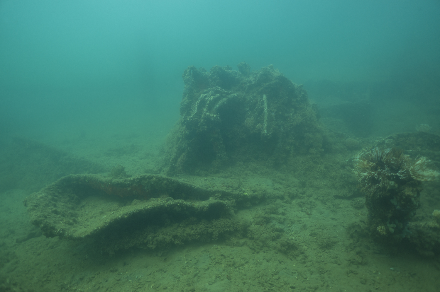
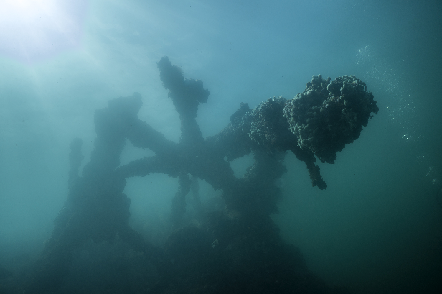
Descending under the canyon wall, almost considered an overhead environment, was something new to me. But it made for some incredible moments.
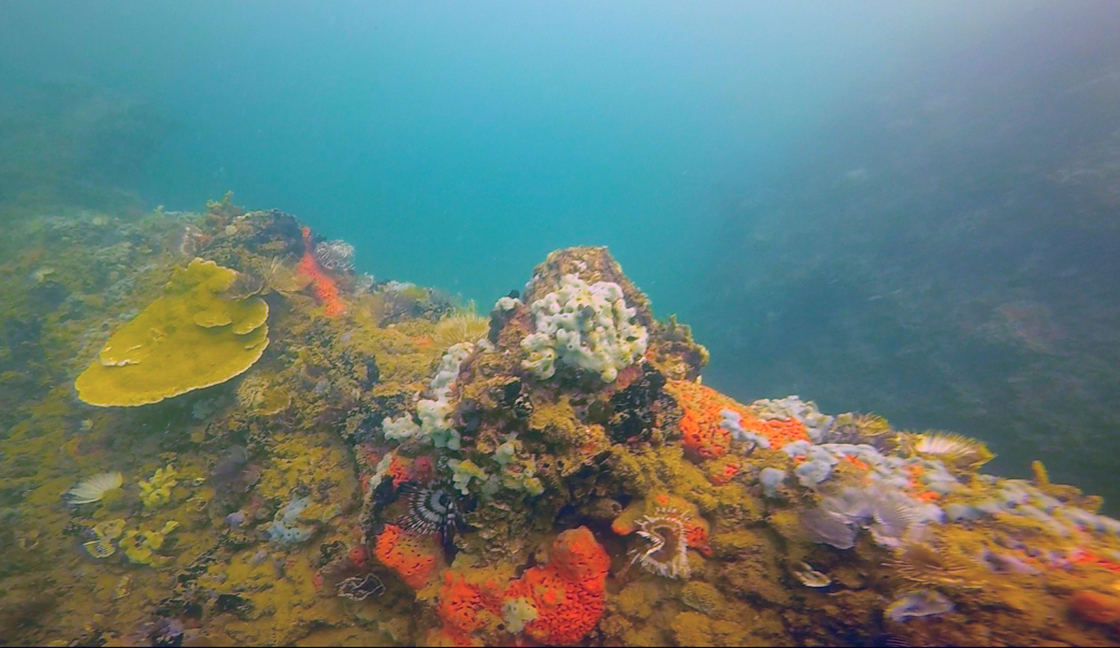
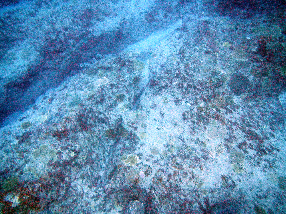
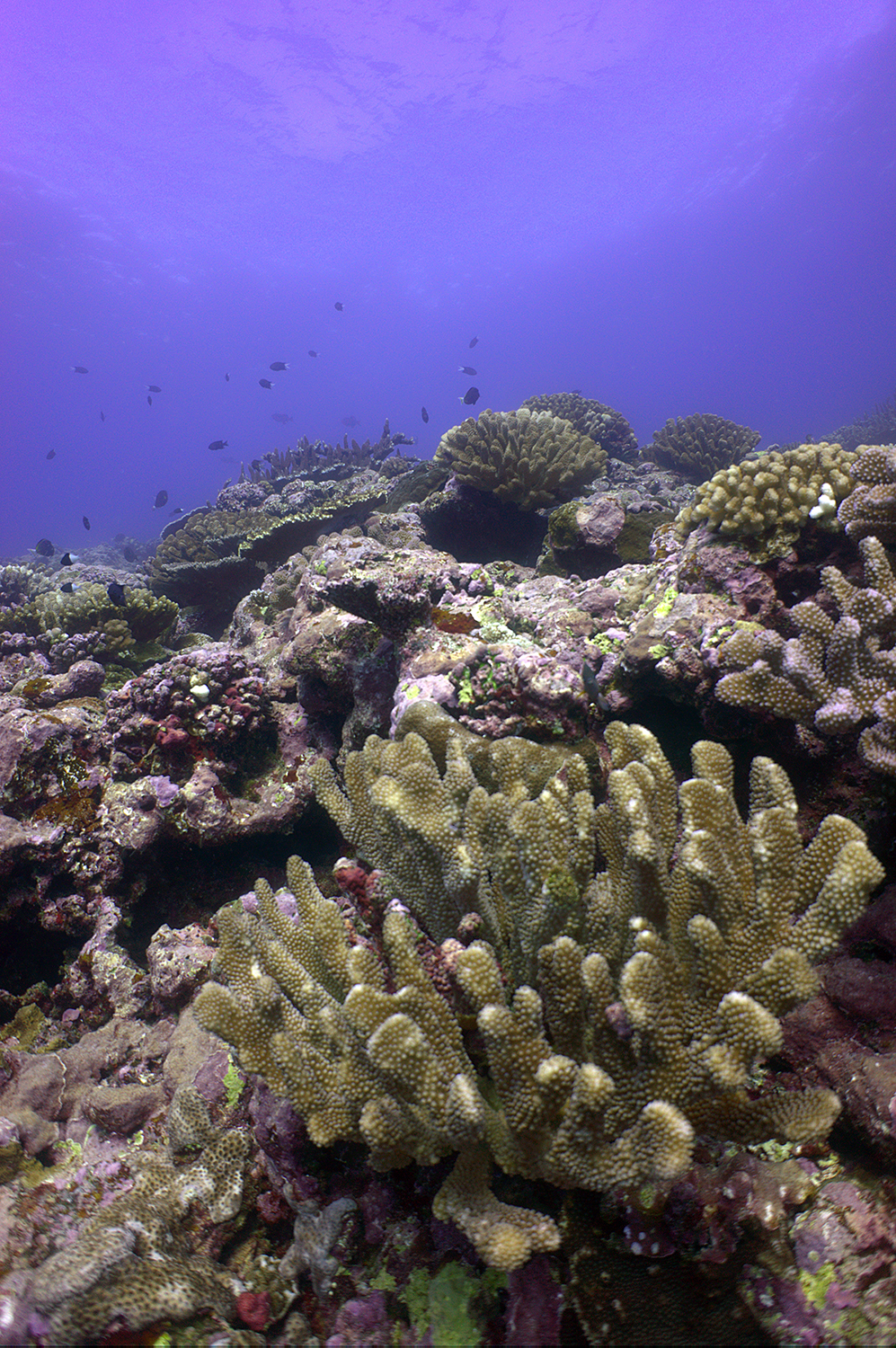
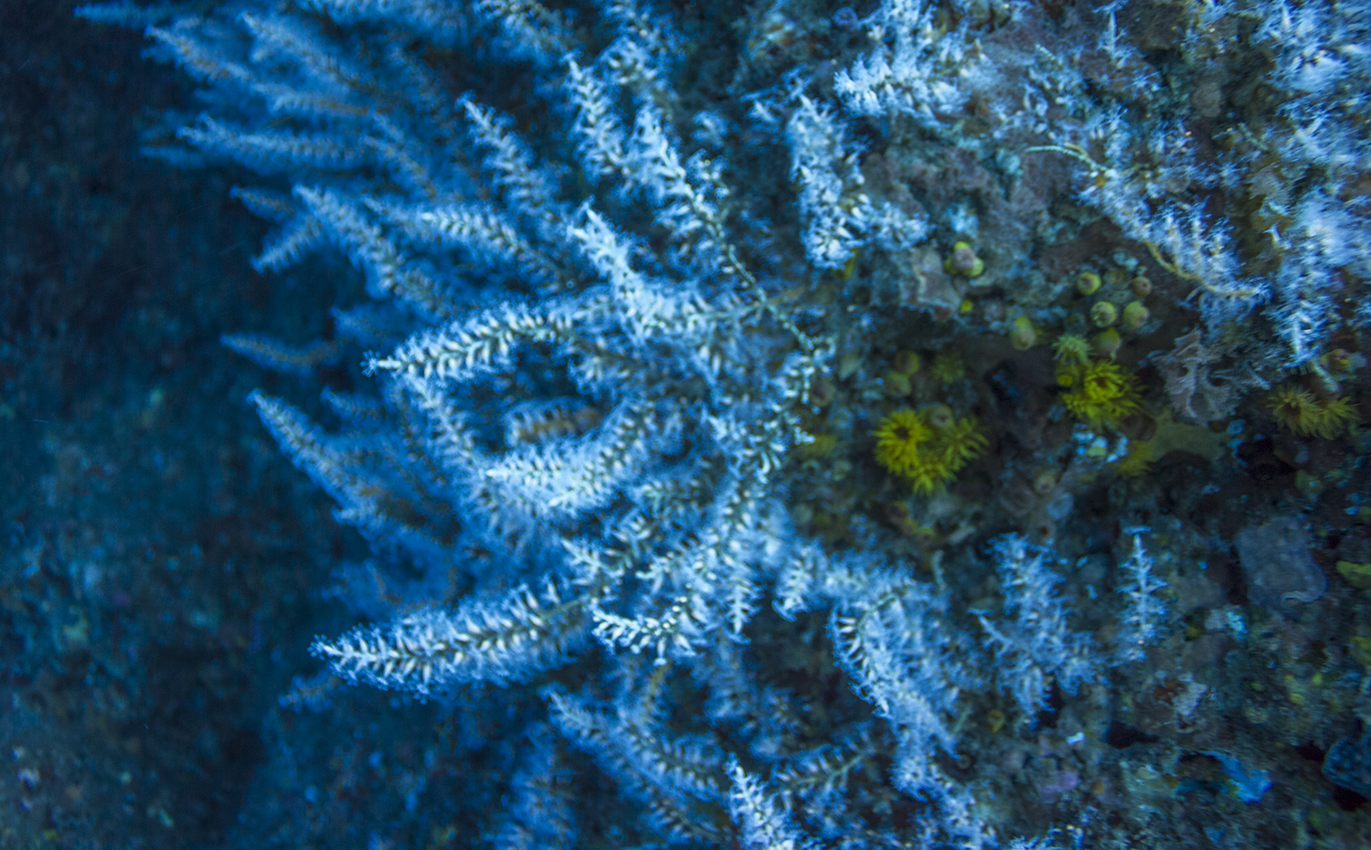
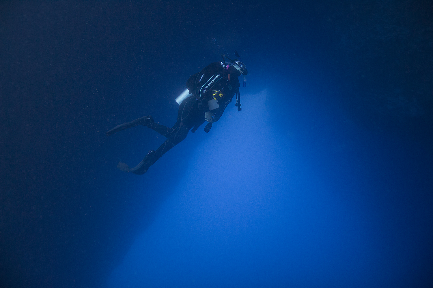
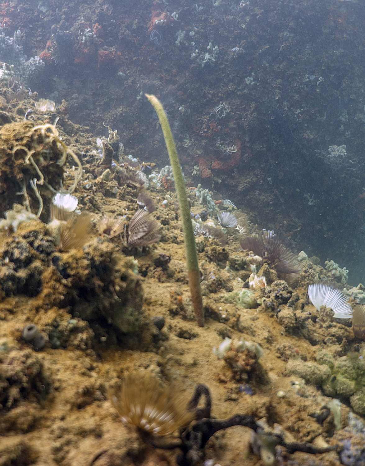
There isn’t much to see in Lake Powell, manly because the sandstone causes the water to be rather turbid even on a calm day. However, diving in the lake was my first time diving in freshwater, at altitude, and my first time diving in a drysuit for a number of years. With Scott as my dive buddy we explored the murky bottom, searched for lost objects, and looked over the edge of a precipice into the eerie abyss at the bottom of Lake Powell.

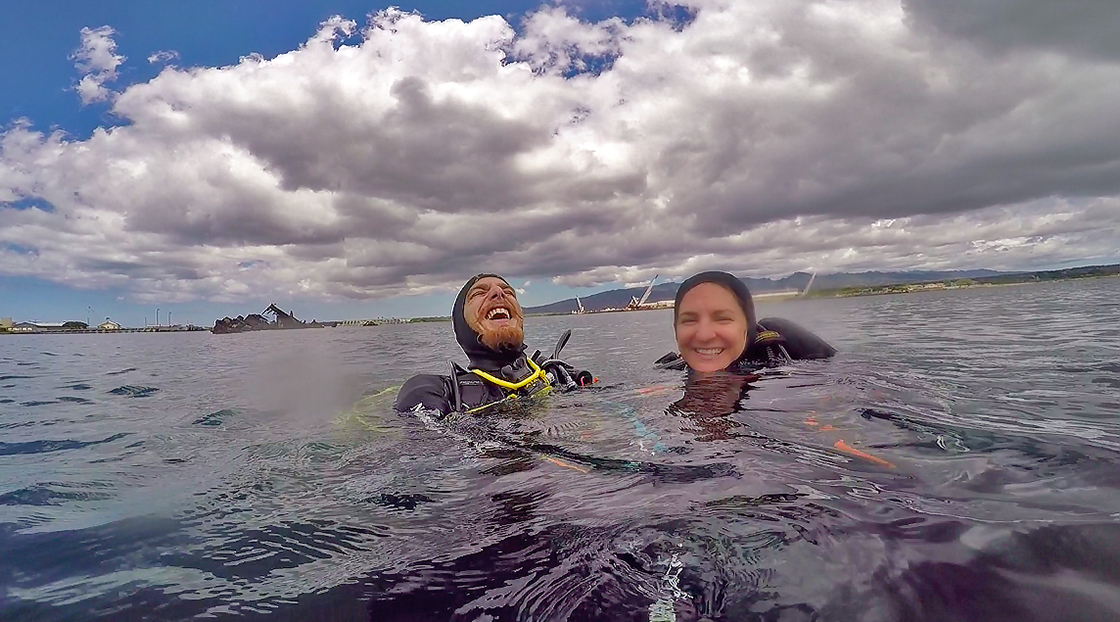
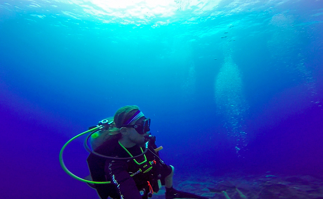
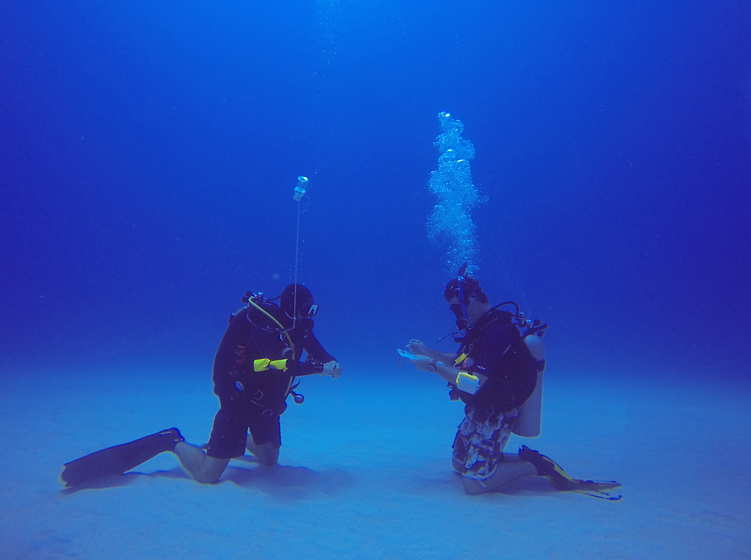
Scott and I having a little too much fun on a safety stop during one of my check out dives.

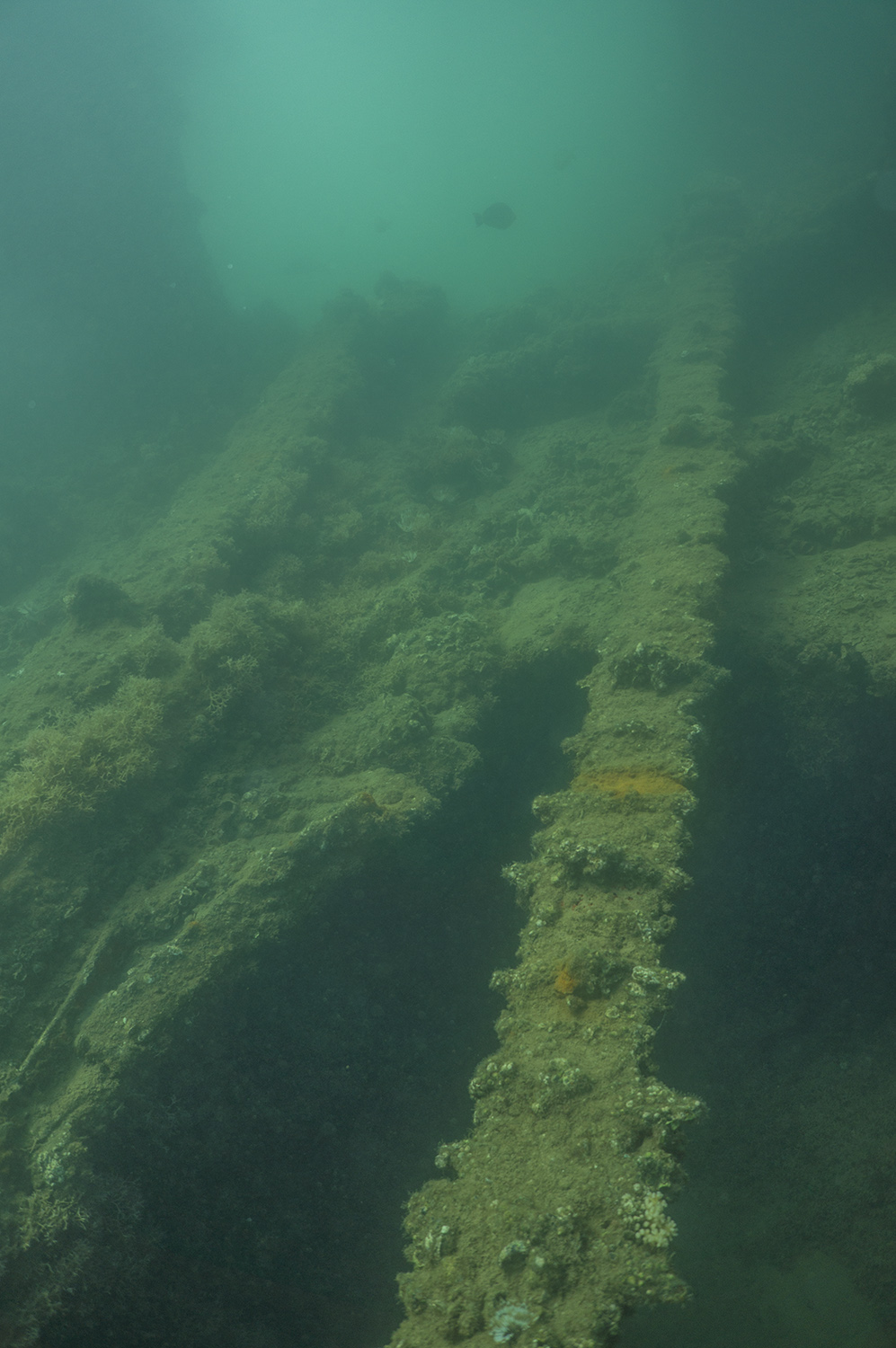
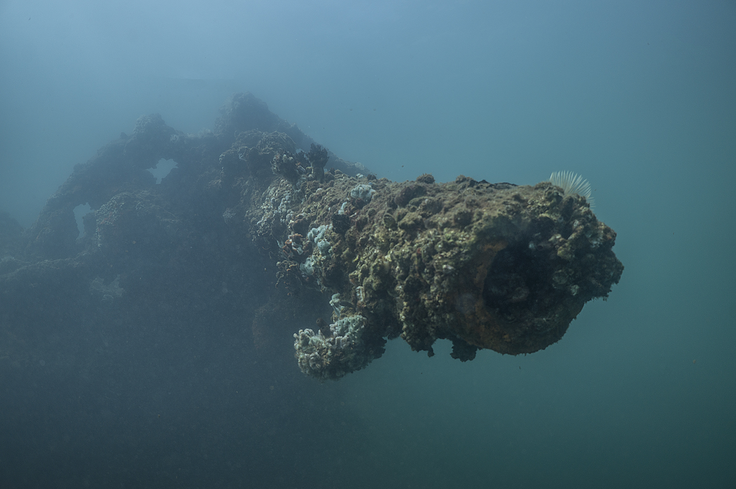
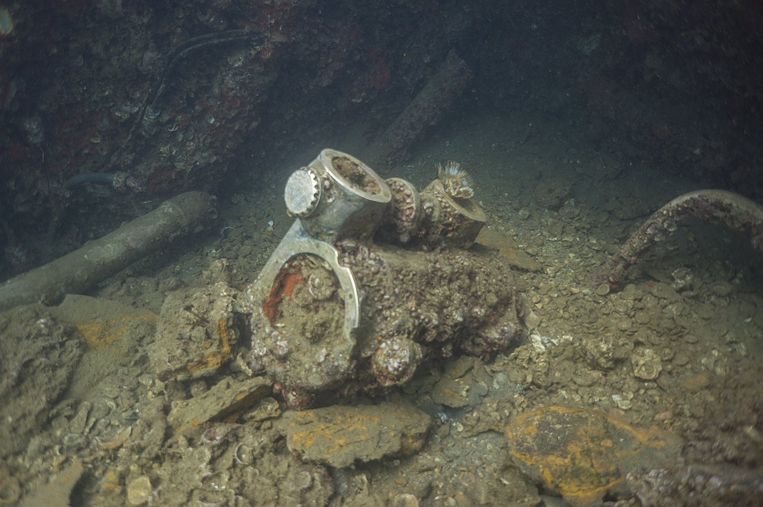
Scott hoisting the metal ring we had to search for. That thing weighed close to 20lbs! You can also see the invasive zebra mussels covering the metal chain we ascended and descended on. Zebra mussels cover every surface they possible can.

A shot of Rainbow Bridge – a popular tourist destination, Rainbow Bridge was sacred to the native peoples of this region. It’s hard to grasp the size of this incredible arch.
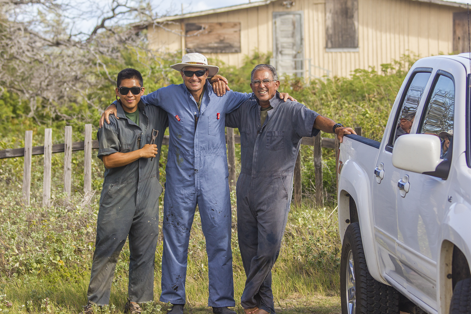
Although my stay at GLCA was short, all my misgivings about spending time at the inland NPS unit were instantly abated the moment I saw Lake Powell in person. Arizona is a vastly different environment from the tropics of Samoa and Hawaii; it carries its own character and has very specific demands. The Park Service at GLCA deals with a very specific set of concerns, such as being swamped by the wake from a negligent boater while trying to hoist a 600lb buoy out of the water. But they work hard and earn their mettle. My stay in Arizona was short, but it was made very enjoyable by Scott Norwood, Kendra Nez, the maintenance technician who never seemed to take a break from working, and the rest of the staff out at GLCA. Now I get to head back to LA for a few days of R&R before shipping off to the kelp forests of the Channel Islands National Park.

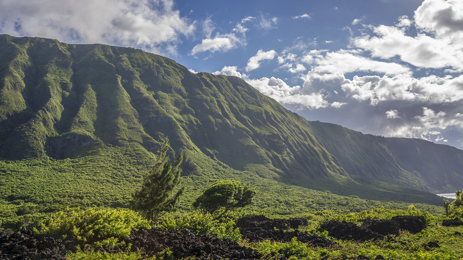
Though the Park is in Arizona, my campsite was just across the Utah Border. It’s hard to grasp the sheer size of this part of the country. But the vistas never disappoint.
Thanks for reading!