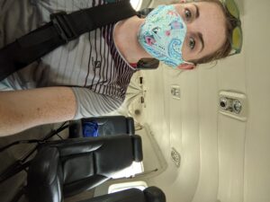
It’s mid-March – a late weekday evening. I’ve returned home after a long day in the lab, refining the molecular assay I’ve been working on and troubleshooting for months as part of my Master’s thesis research. I take the evening to catch up with friends and family back home. It’s one of the only times of day I can reach them since they’re 8–10 hours behind my current time zone. Suddenly, my focus shifts as an email appears in my inbox. My jaw drops with a smile, and I immediately call a close friend on campus. She picks up, and I skip the greeting. All I can say is, “I just got a VERY exciting email.” I hadn’t even opened the message yet, but reading the subject line was informative enough. This was the email I’d be waiting for, hoping for, and dreaming of- I was going to be the 2022 National Park Service Research Intern for Our World Underwater Scholarship Society (OWUSS) and the National Park Service (NPS) Submerged Resources Center (SRC).
Fast forward several months, through a whirlwind of late-night writing sessions, Master’s defense preparations, adjusting my graduation schedule, and soaking up my last bit of time in the Red Sea, I moved home after 2.5 years to squeeze in a short but sweet visit to my hometown, Thunder Bay, Ontario. A week after graduating from KAUST and returning to Canada, I find myself now in the hustle and bustle of New York City. It’s time for a new adventure to begin, and I’m here at the OWUSS 48th annual awards ceremony.
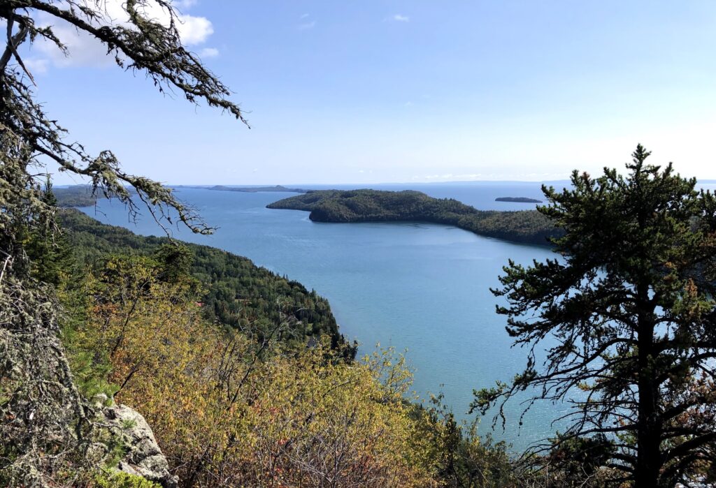
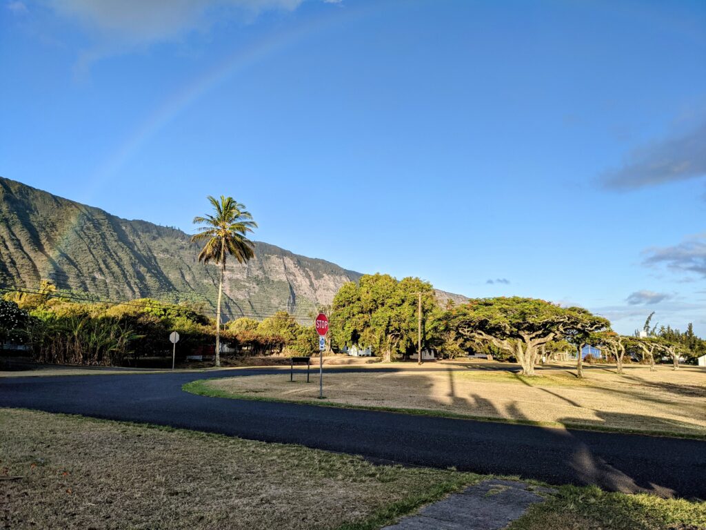
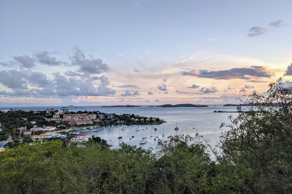
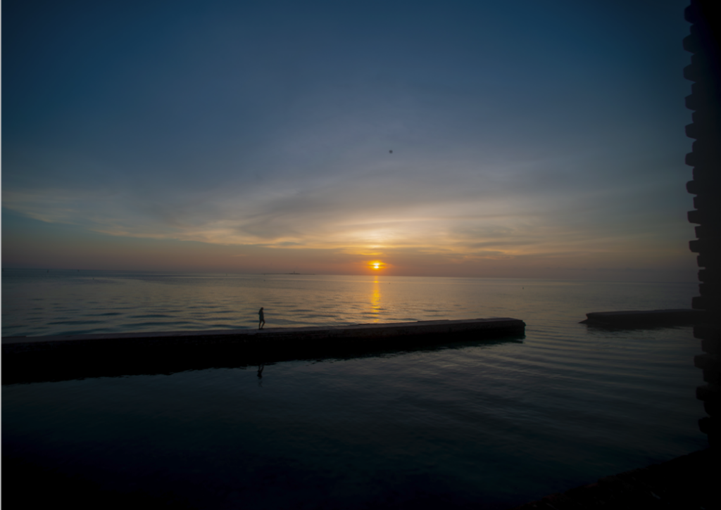
Looking over Lake Superior from my hometown Thunder Bay, Ontario. Even though the OWUSS NPS internship started in 2010, I will be their first Canadian intern.
Since 1974, OWUSS has provided support and opportunities for young people in underwater-related disciplines through scholarships and internships. These one-of-a-kind programs offer the chance to learn from a global network of leaders in the underwater world. Forty-eight years later, the annual awards weekend continues, this year marking the first time in three years that interns, scholars, alumni, board members, sponsors, volunteers, hosts, supervisors, and family come together to celebrate from all over the world. An event full of anticipation, energy, inspiring conversations, and new and familiar faces. It is spent sharing the latest updates from returning scholars and interns and welcoming the new class in preparation for their upcoming experiences.
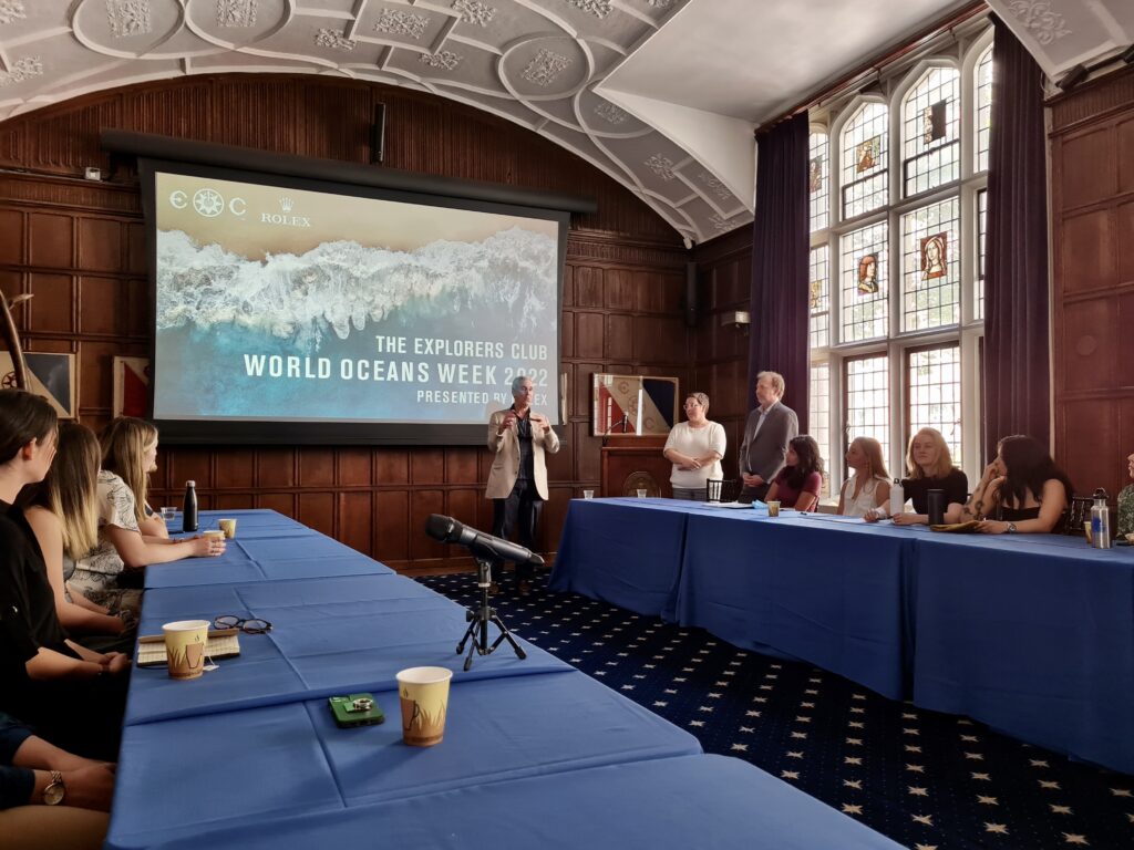
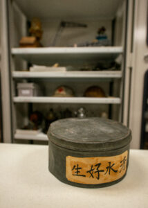
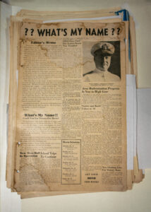
Most of the weekend’s events are hosted at The Explorers Club Headquarters. A truly one-of-a-kind venue – containing members and artifacts from numerous “famous firsts,” including the exploration and traverse of The North Pole, The South Pole, Mount Everest, Marianas Trench, and the Moon landing. I find these Headquarters quickly becoming “home base” for the week – even more so than our hotel. The atmosphere here serves to further heighten my excitement for the journey I will embark on over the next several months, during which I will travel to numerous national parks across the continental U.S. and Pacific Islands as a scientific diver. How could it not, when I find myself catching up on emails between presentations by Dr. Sylvia Earle, the United Nations Oceans Affairs team, and explorer Cristina Zenato while sitting next to the Apollo 11 Moon flag and Matthew Henson’s North Pole mittens.
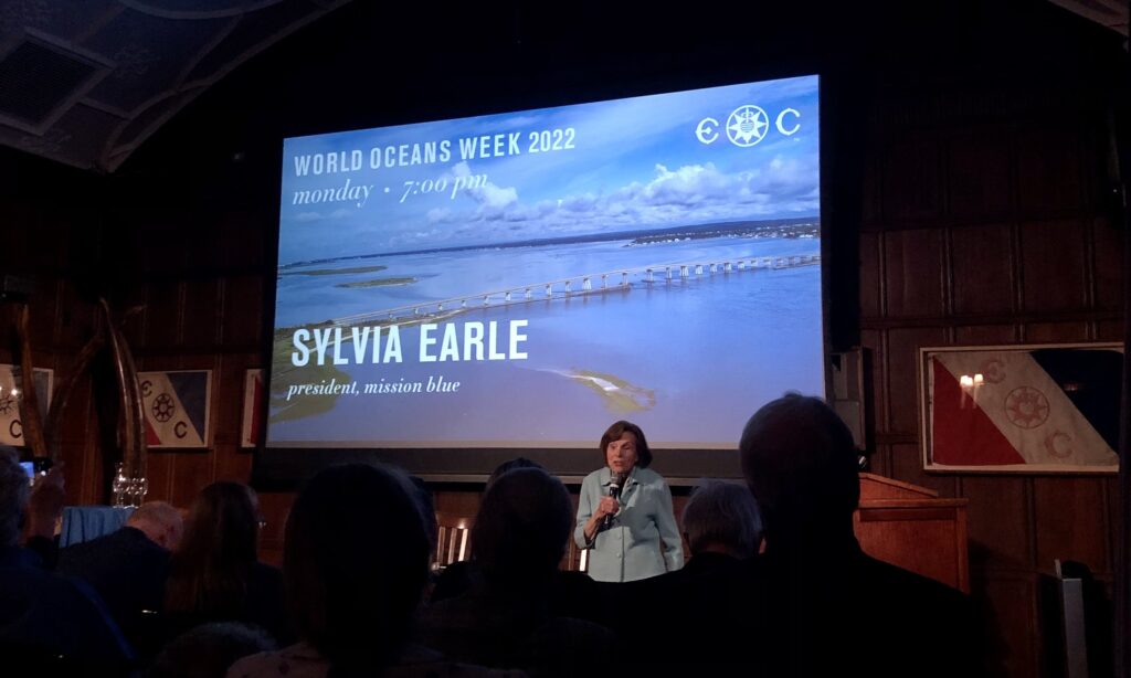
Dr. Sylvia Earle, biologist, oceanographer, explorer, and President of Mission Blue, unveiling the latest updates in the efforts to establish a global network of marine protected areas, through local Hope Spots and raising awareness, access, and support for their conservation.
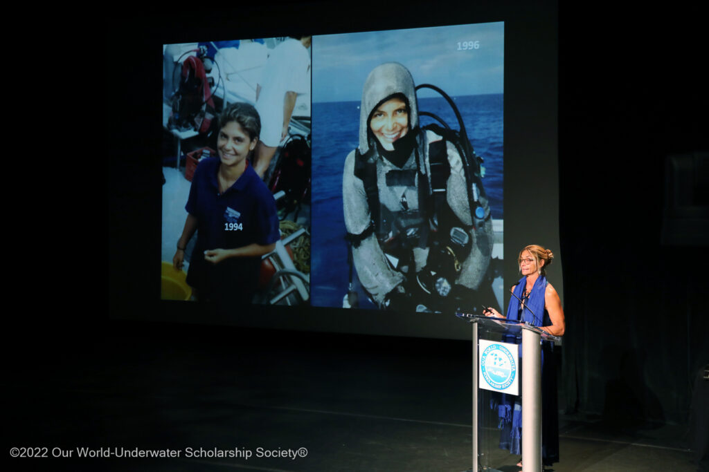
Conservationist, educator and explorer Cristina Zenato, delivering a powerful and passionate speech on how to inspire ocean stewardship and awareness.
The weekend proceeds with introductions and recognition of 2019, 2021, and 2022 interns and scholars through banquets, symposiums, and workshops. During the Saturday symposium, the audience has the great pleasure of viewing 2021 North American Scholar Jamil Wilson’s video presentation on Diving Through Adversity and 2021 European Scholar Arzucan N. Askin’s video presentation on the Depths of the Anthroposea.
Joining us in the audience is my immediate supervisor, Dave Conlin, Chief of the NPS Submerged Resources Center. He beams quietly while watching 2021 NPS Intern Sarah Von Hoene present her success and experiences last year. Although the spotlight is on the interns tonight, it must be acknowledged and celebrated that without Dave and the SRC team; their years of groundbreaking work in maritime archaeology; their strong working relationships turned deep friendships with NPS employees and collaborators across the country; and their dedicated action to lifting up young aspiring researchers and explorers, this internship would not be possible. For the past 12 years, in partnership with OWUSS, SRC has devoted tremendous time and resources to one individual per year to embark on this journey. Many of the NPS internship alumni are still active in OWUSS today and have launched successful careers in marine exploration, communication, photography, monitoring, and research. However, when praised for his support and achievements, Dave simply states, “I take no credit for my interns’ successes, just pride in their accomplishments.” This heartfelt sentiment is met with cheerful goosebumps. I feel them wash over me, along with an overwhelming feeling of gratitude to be placed in such generous and capable hands. I feel honored that NPS SRC and OWUSS have chosen to invest in my personal and professional growth and am inspired see alumni and volunteers continuing to pay it forward by devoting the time, energy, and resources required to keep these long-term programs running.
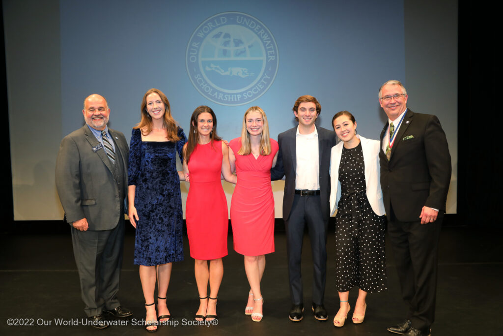
OWUSS Class of 2022 interns alongside President and 1990 Rolex Scholar Steve Barnett (right) and Chairman Vincent Malkoski (left).
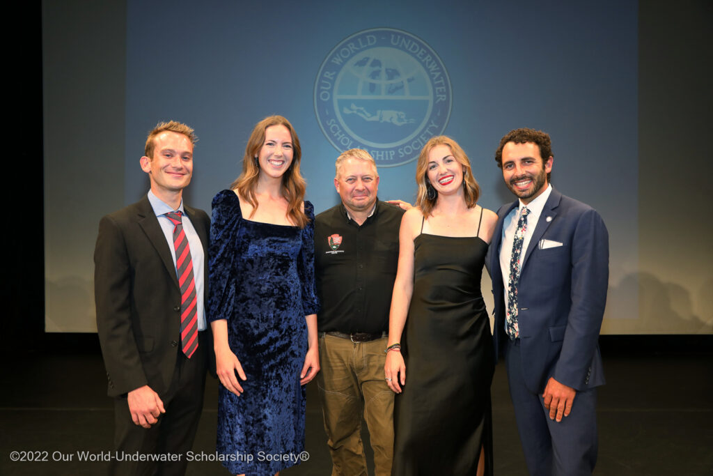
OWUSS NPS Submerged Resources Center interns (left to right: Michael Langhans – 2019, myself – 2022, Sarah Von Hoene – 2021, Shaun Wolfe – 2018) alongside NPS SRC Chief Dave Conlin (center)
For the first time, the OWUSS annual awards weekend now coincides with World Oceans Week, allowing scholars and interns to engage in panel discussions, workshops, presentations, mentoring, and networking events hosted by leading oceans organizations, researchers, and industry professionals. Overarching themes throughout the week include ocean governance, stewardship, and engagement; career coaching and personal branding; adaptive conservation and restoration; and blue economy innovation, to name a few. Thought-provoking points are raised about how the presence/absence of marine life dictates how/where we use/govern the ocean, the importance of quantifying recreational use of marine resources, understanding the political context of the science you are disseminating, the paradox of law without enforcement, and the future importance of interdisciplinary science. Regardless of the speaker, a common conversation emerges – that science is not finished until it is communicated. Reflecting on my experiences as a student and researcher at several universities, I note numerous examples of where academia often stops at 80%. During my time as an NPS intern, I hope to see firsthand how applied marine ecology, archeology, and photography are used to uncover, document, and directly communicate crucial information on natural and cultural resources to policymakers, stakeholders, and the general public.
World Oceans Week at The Explorers Club Headquarters in NYC. OWUSS interns and scholars joined several workshops and panel discussions, including one on ocean governance, the blue economy, and oceans and climate change led by Valentina Germani and Francois Bailet of the United Nations.
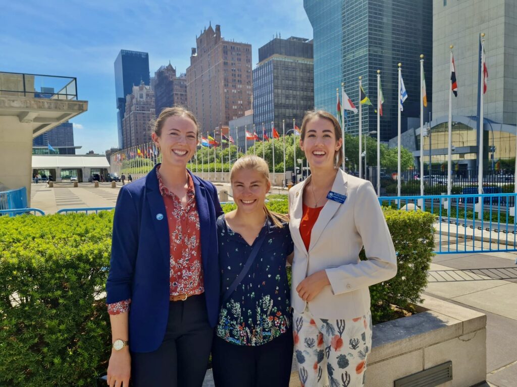
OWUSS interns and scholars were invited to join the in-person United Nations World Oceans Day hosted by the Division for Ocean Affairs and the Law of the Sea. I joined the event with 2019 OWUSS European Scholar Kim Hildebrandt (center) and 2022 OWUSS European Scholar Hannah Douglas (right).
After a week in NYC, I leave feeling inspired yet disconnected. I can’t help but notice how these concrete jungle walls detach us from the natural world, hindering our connection with nature by negatively impacting our accountability for the state of the environment in our own backyard, muffling our understanding of where our food comes from, and amplifying our reliance on instant communication and gratification within our daily lives. Right on cue, after a fast-paced week, I head to Denver, Colorado – home of the Submerged Resources Center.
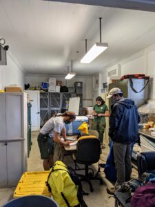
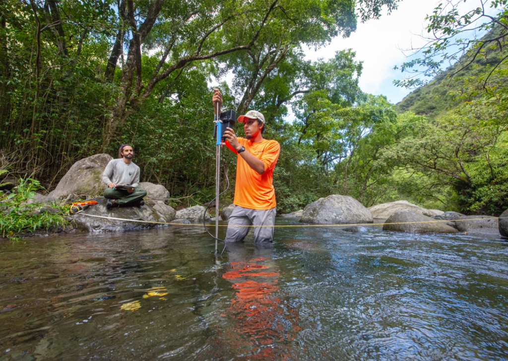
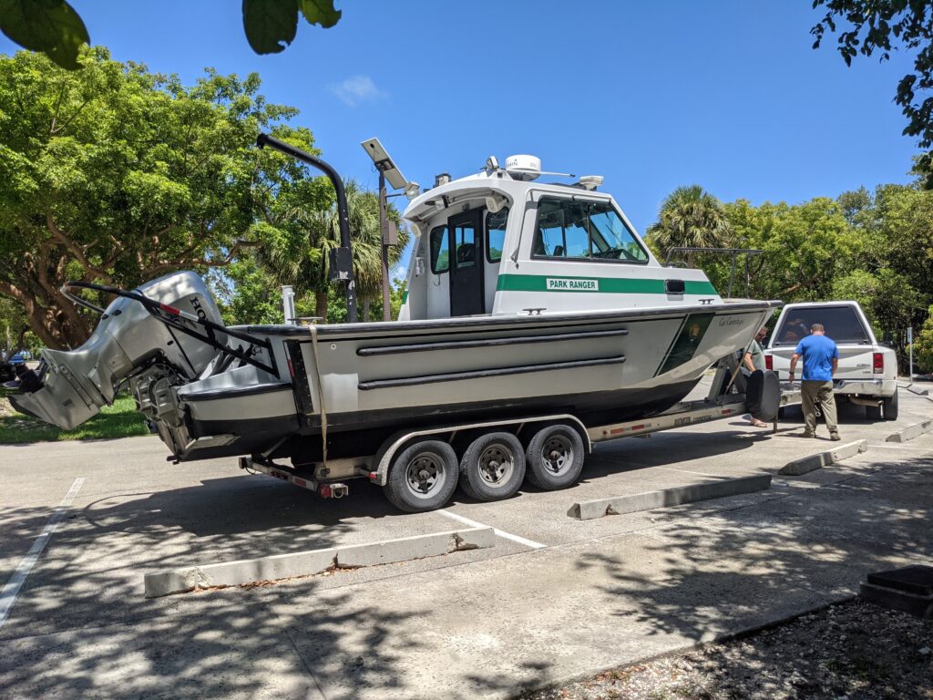
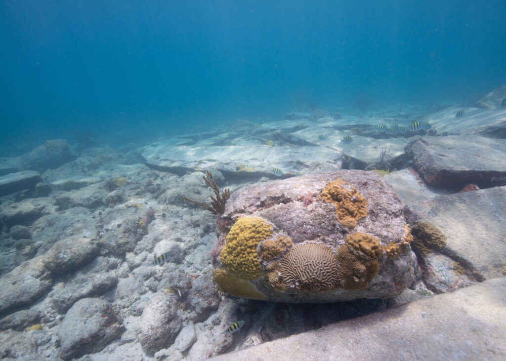
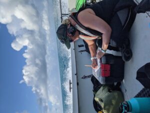
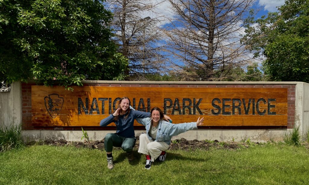
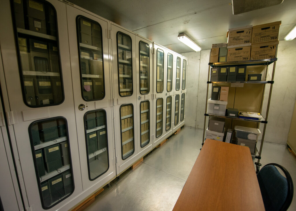
A small team with global reach, one only needs to walk a few steps into the SRC office to gain a sense that this is a remarkable group of individuals working to drive their accomplishments. For more than forty years, the NPS SRC has been operational and recognized as a global leader in maritime archeology. Using an interdisciplinary approach and advanced scientific diving, they serve to locate, document, interpret, and preserve cultural resources and provide advice towards their protection. At their Colorado headquarters, I had the great pleasure of meeting and learning from Brett Seymour (Deputy Chief, A/V specialist), Susana Pershern (A/V specialist), and archeologists Matt Hanks, David Morgan, Anne Wright, and Andrew (AJ) Van Slyke. Millie Mannering, the 2022 OWUSS Australasian scholar, is joining us for a week of basic training and final preparations before setting off on her year-long adventure. As the week unfolds, I recognize each person’s unique journey that has led them to this team. I value the unique opportunity that this internship entails, in addition to my duties as a scientific diver, to gain insight into shaping my own individualized career path as I face the transition from graduate student to young professional.
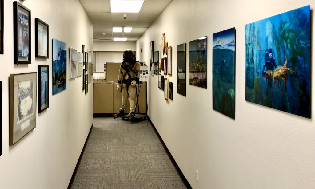
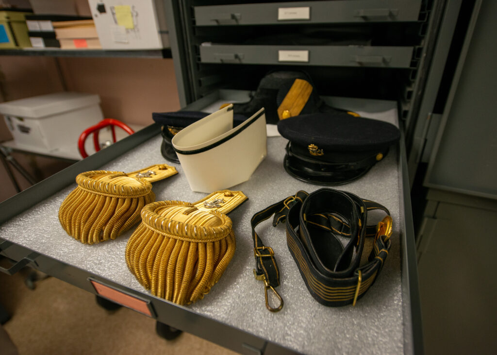
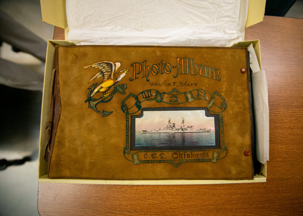
NPS Submerged Resources Center Headquarters in Denver, Colorado. The entrance is line with underwater photography, magazine covers, and mementos of exploration.
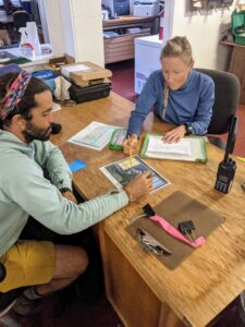
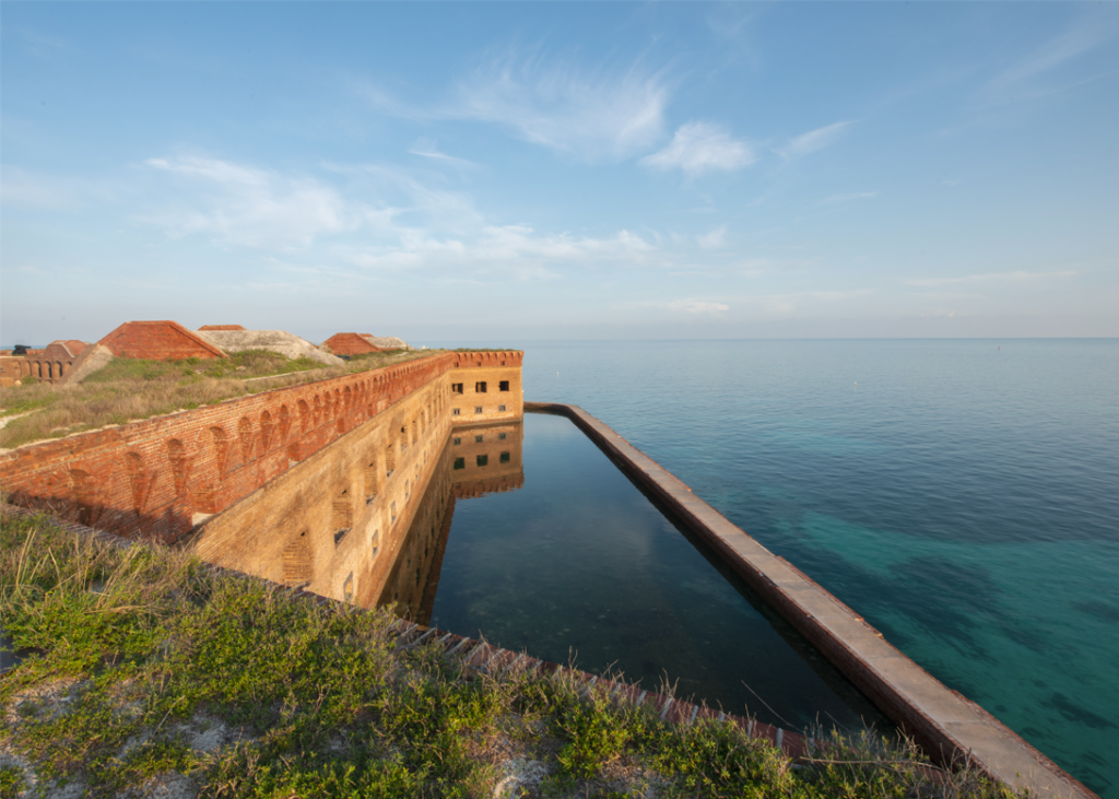
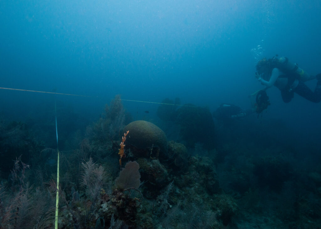
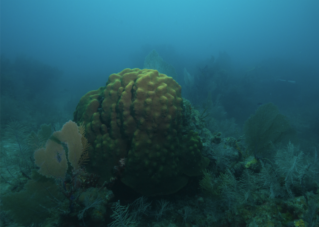
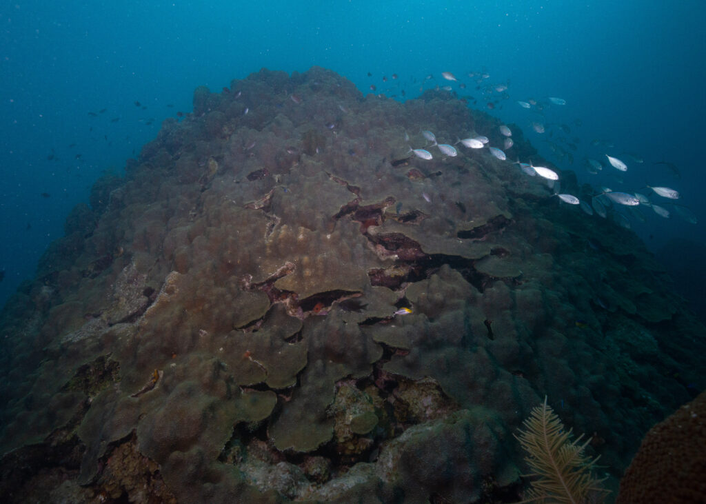
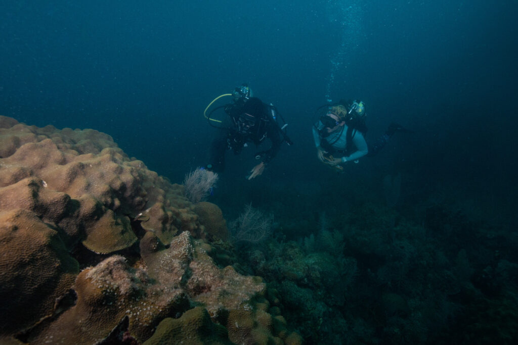
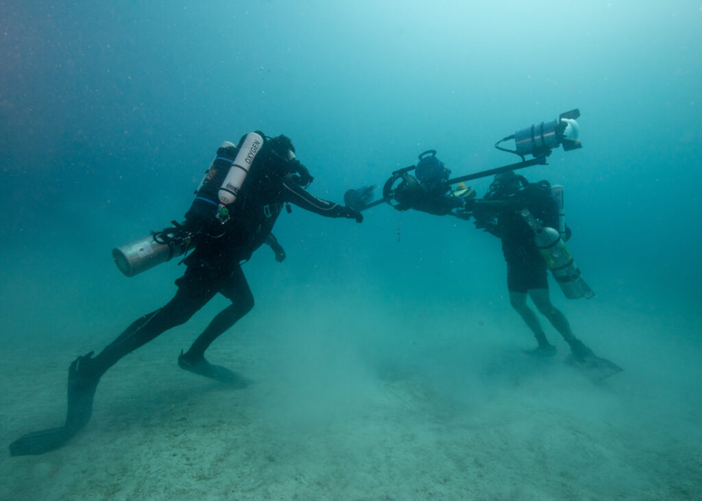
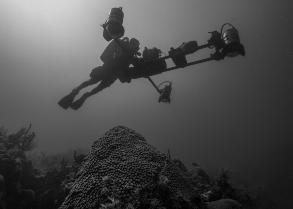
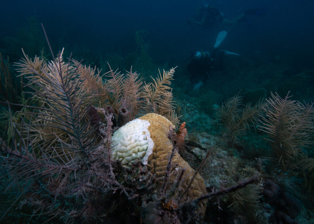
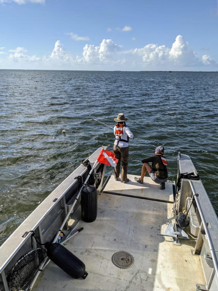
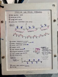
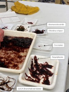
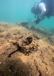
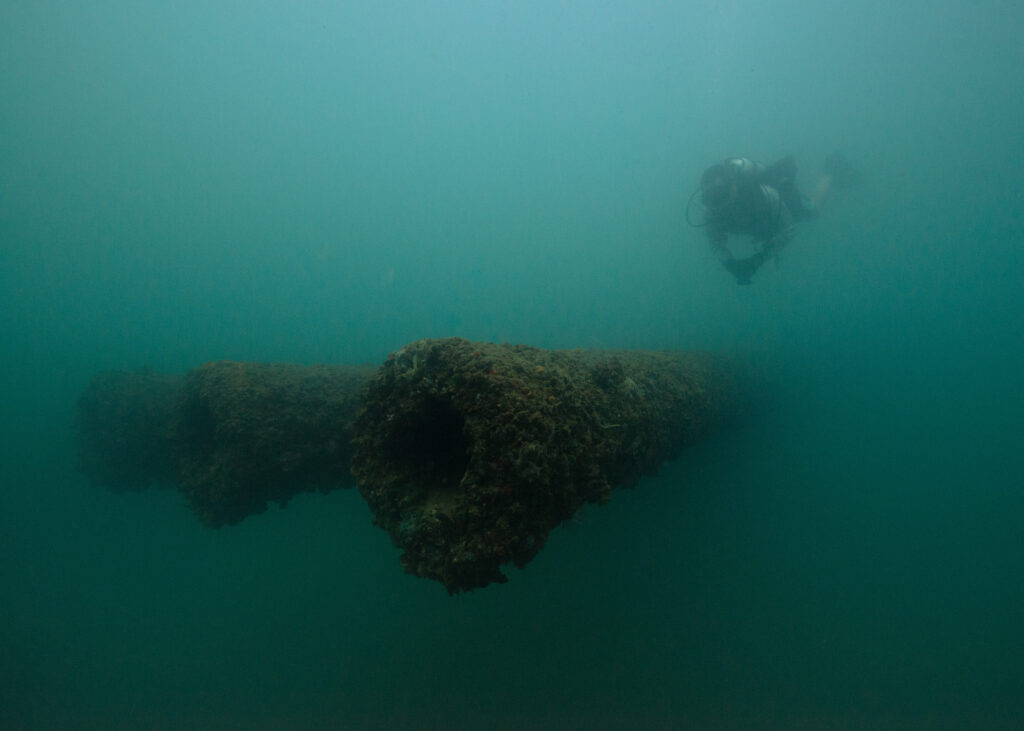
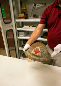
During our first day at SRC, archeologist AJ Van Slyke introduced us to some of his current work. Our overarching goal for the day was to update a predictive map to inform and identify survey locations in search of the Guererro (a Spanish slave ship wrecked in 1827 near the Florida Keys while engaged in battle with a British anti-slavery ship, the HMS Nimble). Based on a comprehensive report AJ wrote, which compiles literature and historical records detailing the events leading up to and following the wreckage, we play out each version of the accounts step by step – somewhat like a board game. The goal is to identify areas of geographical overlap in each ship’s story; however, interpreting historical information often presents significant barriers, as units of measurement can be described as an “arrows reach” away or reference landmarks that may no longer exist or have a documented location. Combined with the variability and inaccuracies of personal reporting and the combined efforts of excavating, analyzing, and interpreting findings, I can see that SRC has their work cut out for them. Nonetheless, the overwhelming successes of SRC in locating and documenting ships in remote, challenging, and unpredictable environments speaks to their hard work, talent, passion, and ingenuity and serves to bring knowledge to both the local and global community on history that has been lost beneath the surface of our oceans for decades.
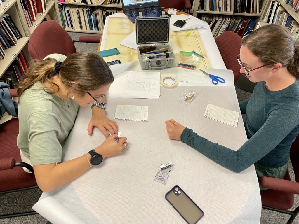
OWUSS 2022 Australasian scholar Millie Mannering and I translating field notes into hand drawn maps of historical shipwrecks.
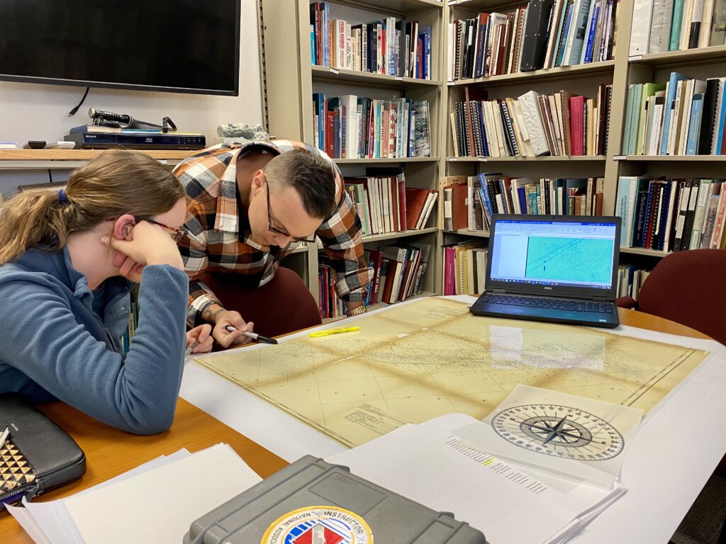
NPS Submerged Resources Center archeologist AJ Van Slyke and I updating a predictive map in search of the Guererro’s final resting place.
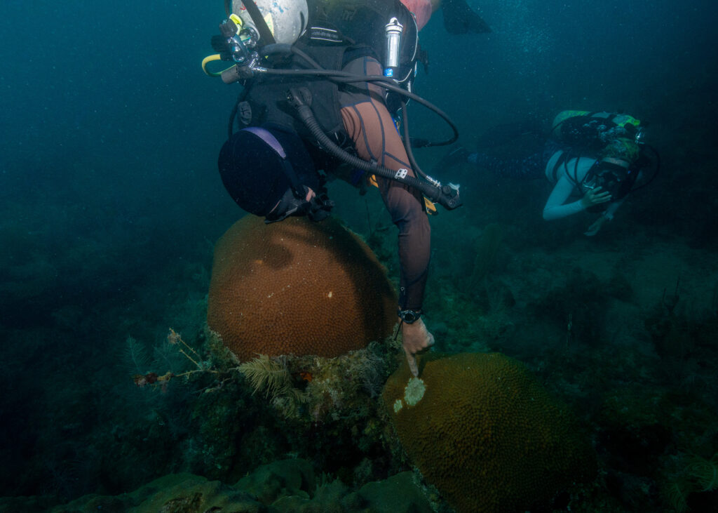
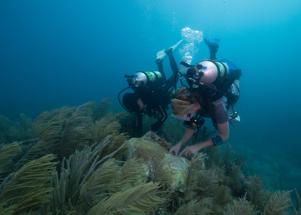
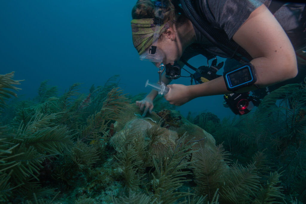
We also joined archeologist Anne Wright for a DAN Diving Emergency Management Provider course, where she took us through several training sessions, including basic Life Support (CPR/First Aid), neurological assessments, emergency oxygen for scuba diving injuries, and first aid for hazardous marine life. Although I have maintained First Aid provider and instructor certifications as a lifeguard over the past years, it was a welcome refresher to prepare Millie, SRC archeologist David Morgan and I for a safe and full summer of diving ahead.
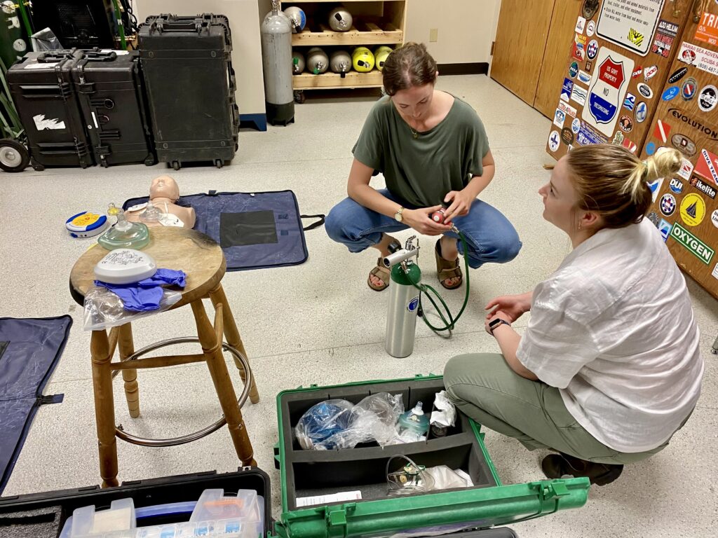
NPS Submerged Resources Center archeologist Anne Wright leading us through a refresher on Diving Emergency Management, including emergency oxygen for scuba diving injuries.
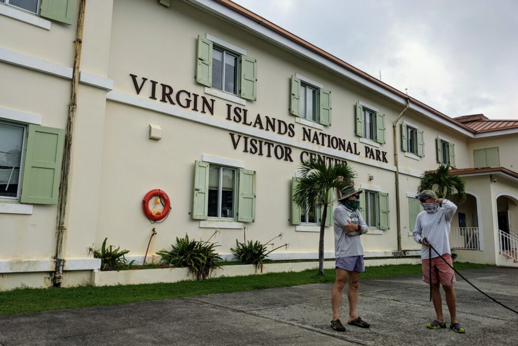
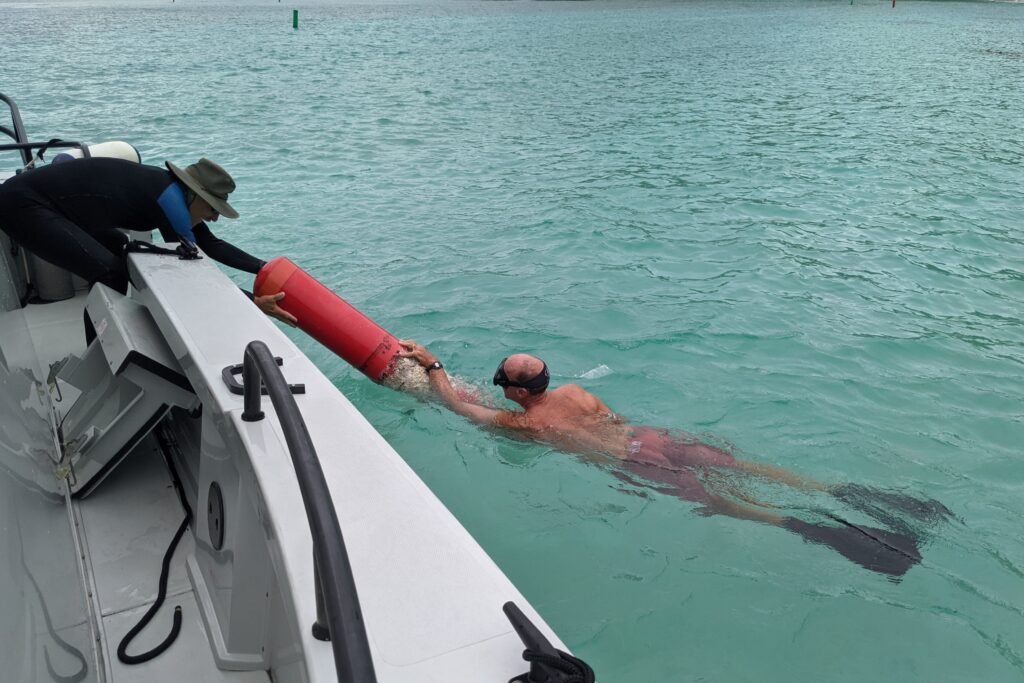
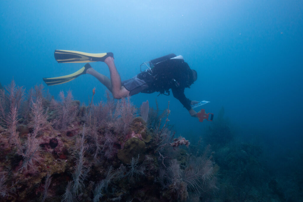
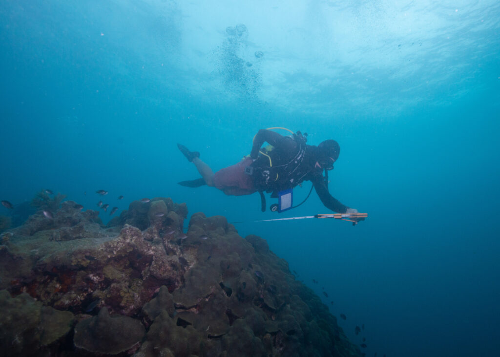
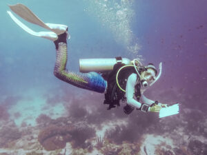
Lastly, it was time for us to complete the Blue Card certification required to dive with the National Park Service. Deputy Chief Brett Seymour took Millie and I through several unique sets of dive and fitness testing, including gas sharing, rescue tows, NPS bailout (jumping into the water, gear in hand, to be assembled and donned on the pool floor), and NPS ditch and recovery (doffing all equipment underwater, turning air off, swimming away, and returning to don your gear). Although many of these skills are not necessarily meant to mimic “real-life” situations, they gauge a diver’s composure and response to stressors underwater and demonstrate the ability to think critically in unfamiliar situations.
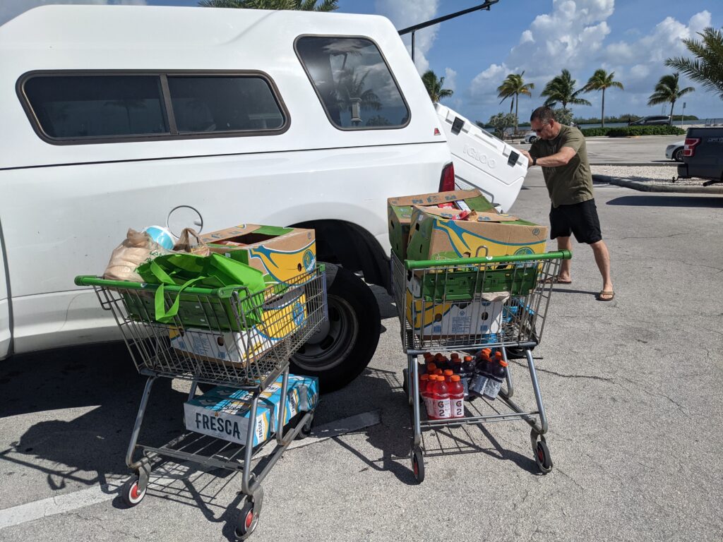
Just over two weeks after my internship has begun, and before I’ve even set foot on my first park, I am astonished by the experiences I’ve had and the new network I am a part of. SRC has given me all the tools I need to succeed and then some, and I leave Denver, dive gear in hand, ready to take the leap and kick start what I’ve been selected to do. I want to thank each member of the SRC for making me feel so welcome and for trusting me to represent this team during my internship. Thank you for being exceptionally friendly faces to greet in the office each day, for sharing your current projects with me, and for the friendly conversation over lunch at your favorite spots. Thank you to Dave and Michelle for opening up your home and family to me, for going above and beyond to provide the comfort of a home away from home, and show me the best of Colorado (including a trip to my very first (!!) U.S National Park, Rocky Mountain National Park). Thank you to my internship coordinators, Shaun Wolfe, and Claire Mullaney, for supporting me in the preparations for this summer. Thank you to past NPS SRC interns I was able to meet (including Garrett Fundakowski – 2016, Shannon Brown – 2018, and interns present in NYC) for your helpful advice and for welcoming me into the NPS OWUSS family with open arms and enough stoke to last a lifetime.
Over the next several months, I look forward to traveling to each new place and each new park, with fresh eyes – eager to listen and learn, and apply my skills where applicable. Over time, I hope that many of you reading this blog will become familiar faces, and I look forward to taking you along on this grand adventure.


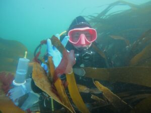
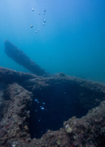
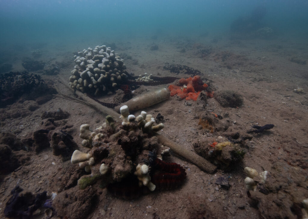
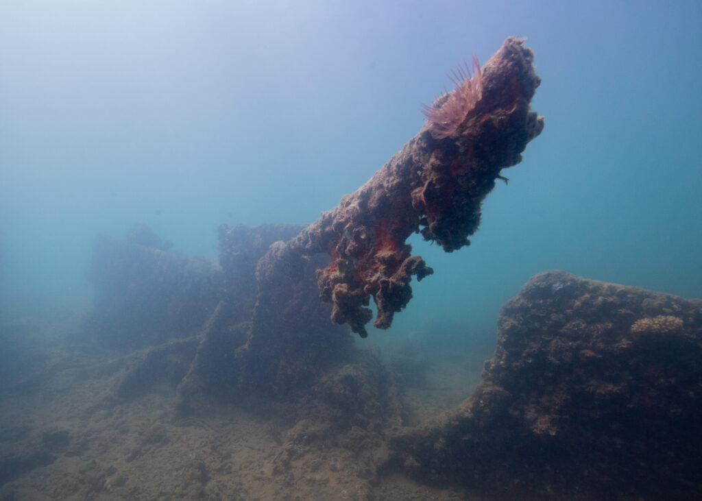
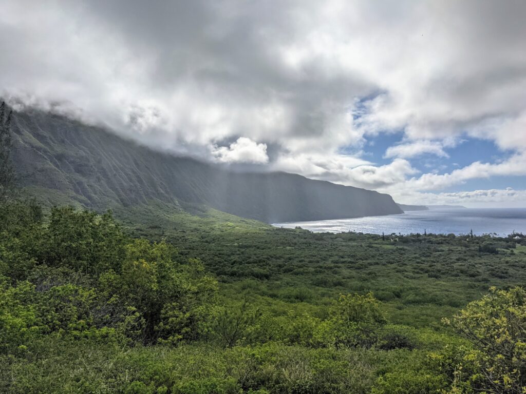
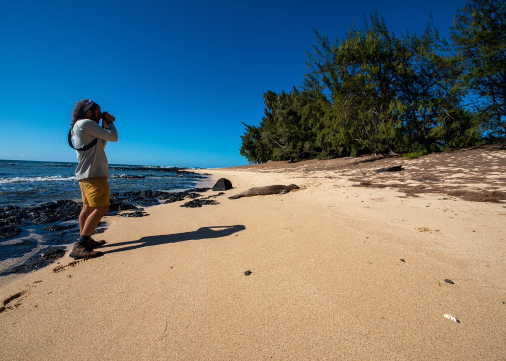
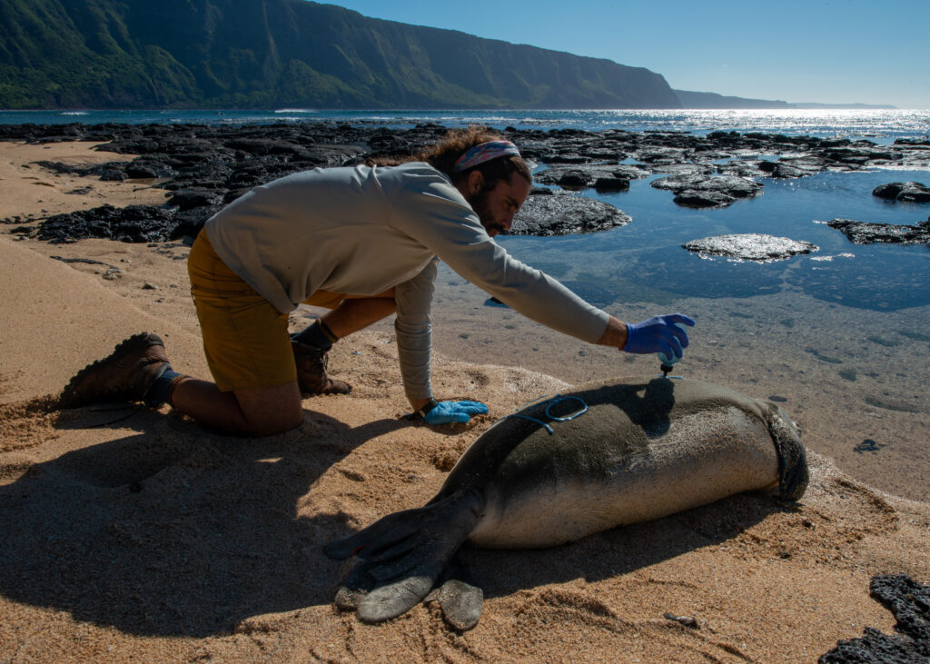
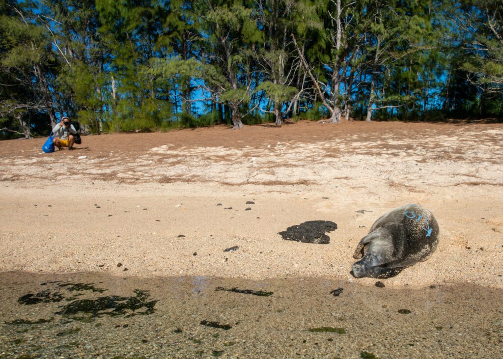
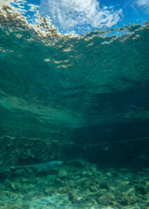
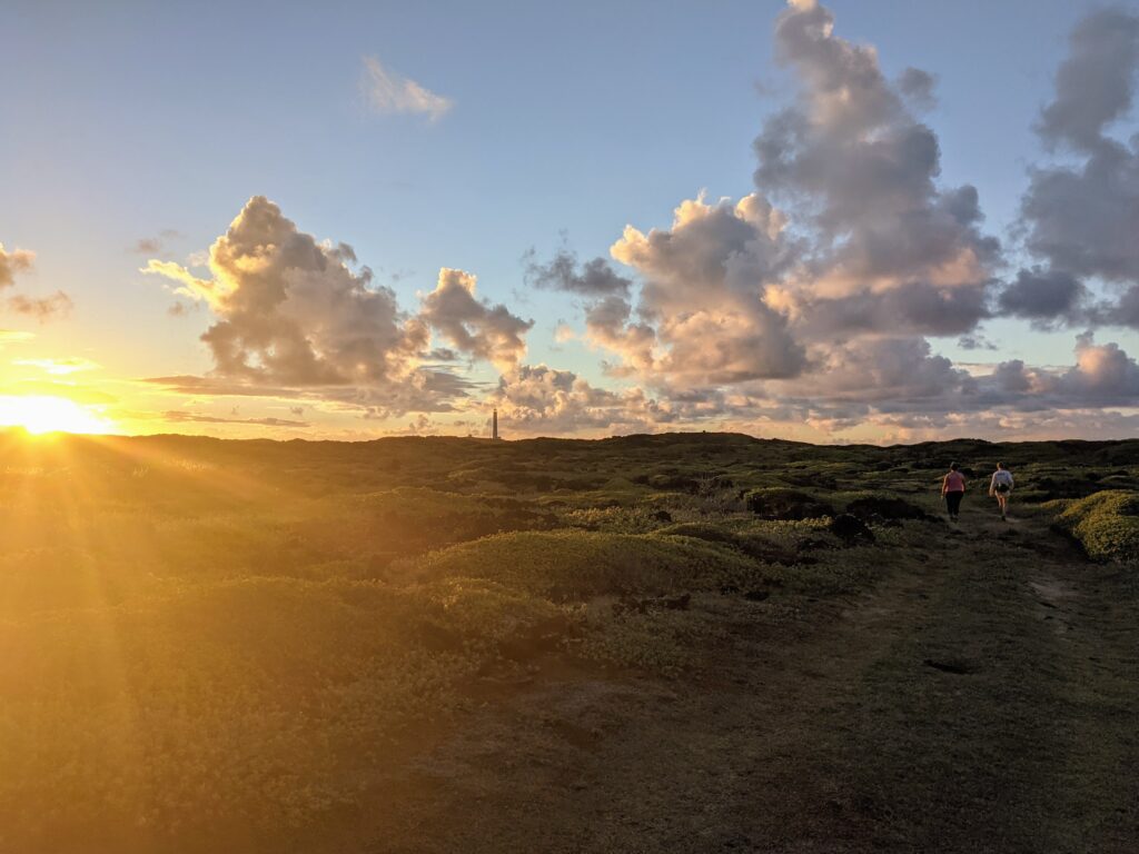
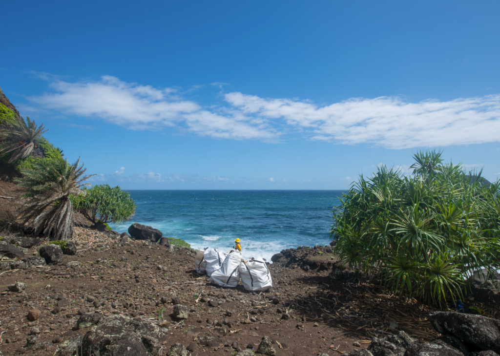
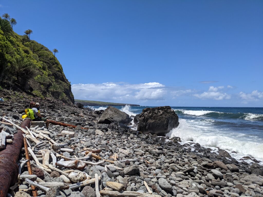
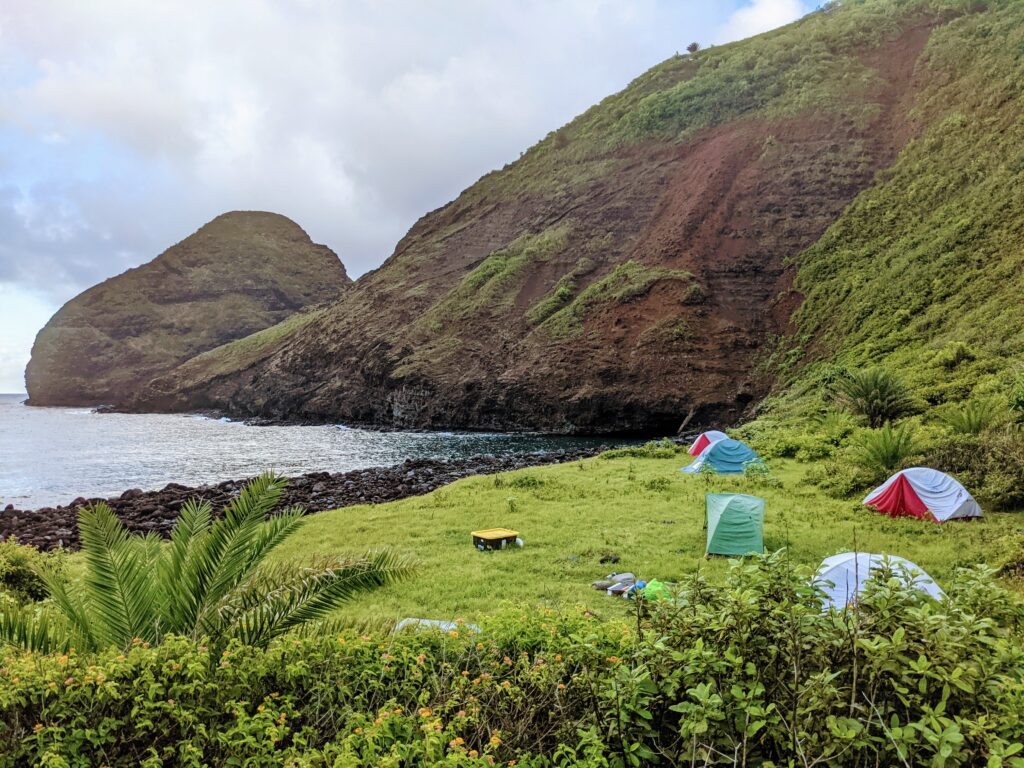
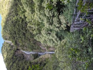
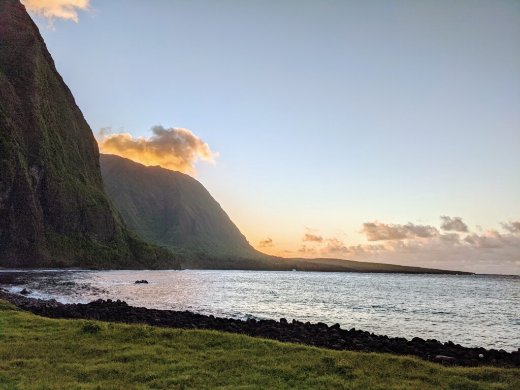
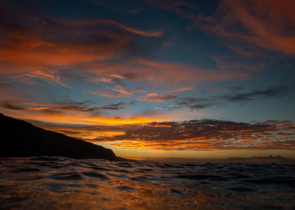
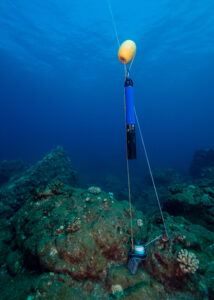
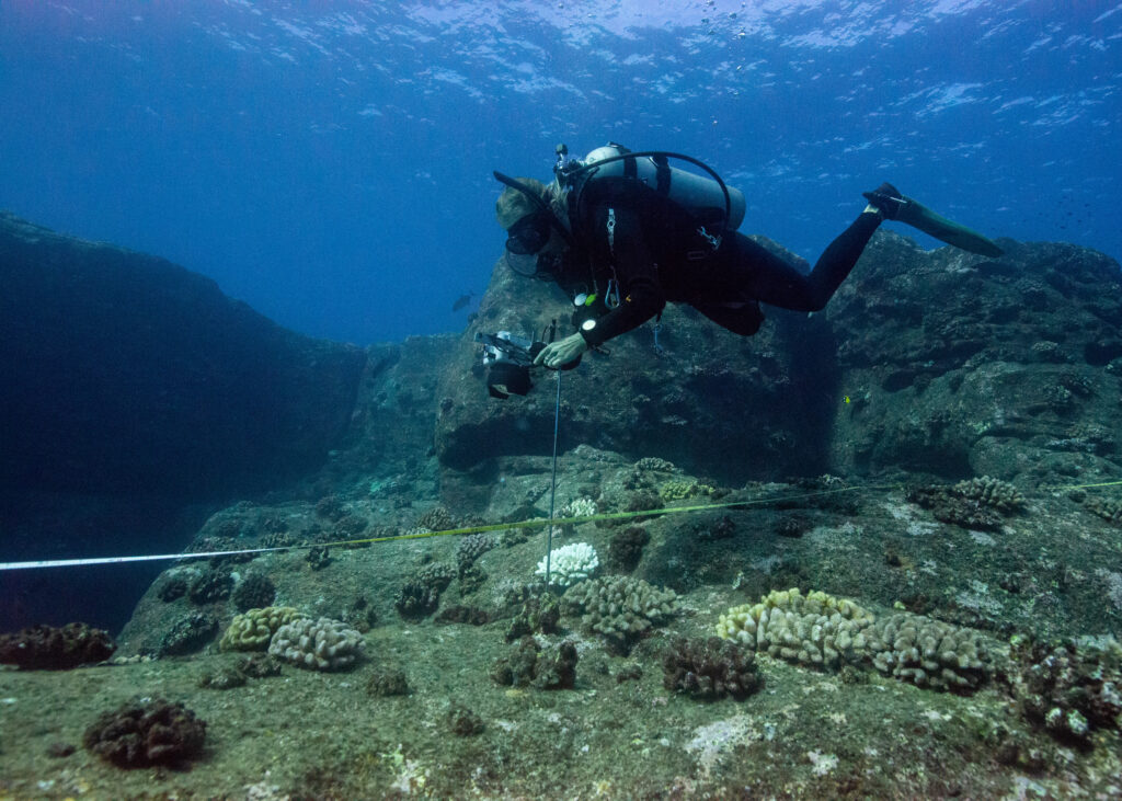
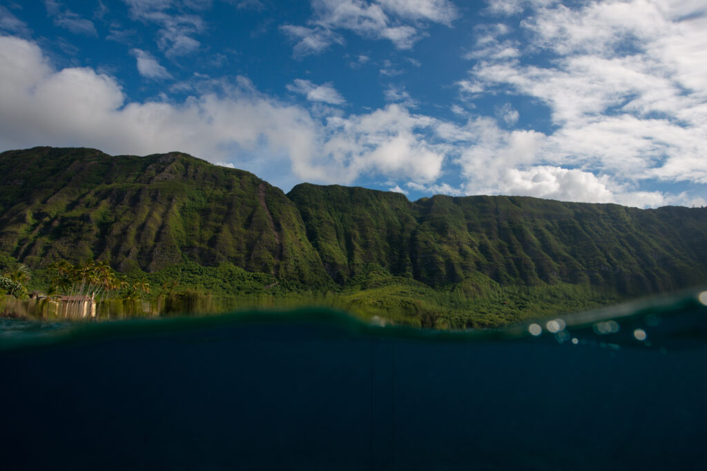
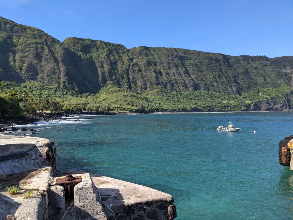
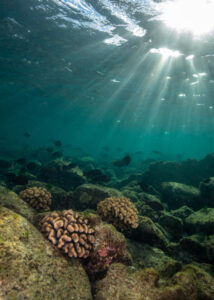
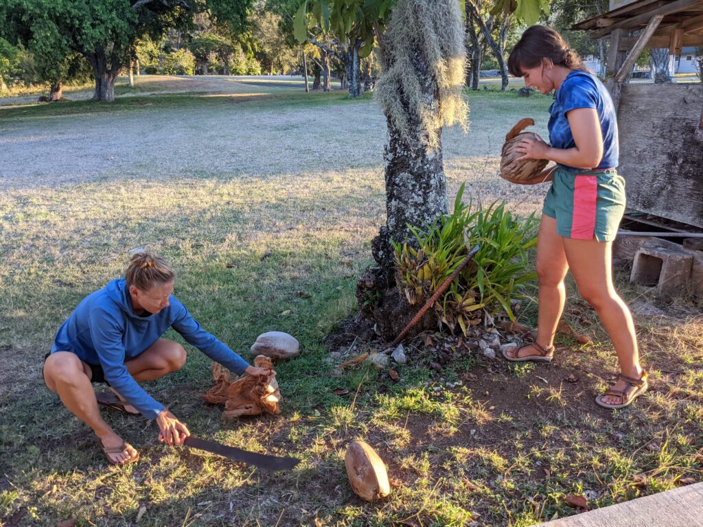
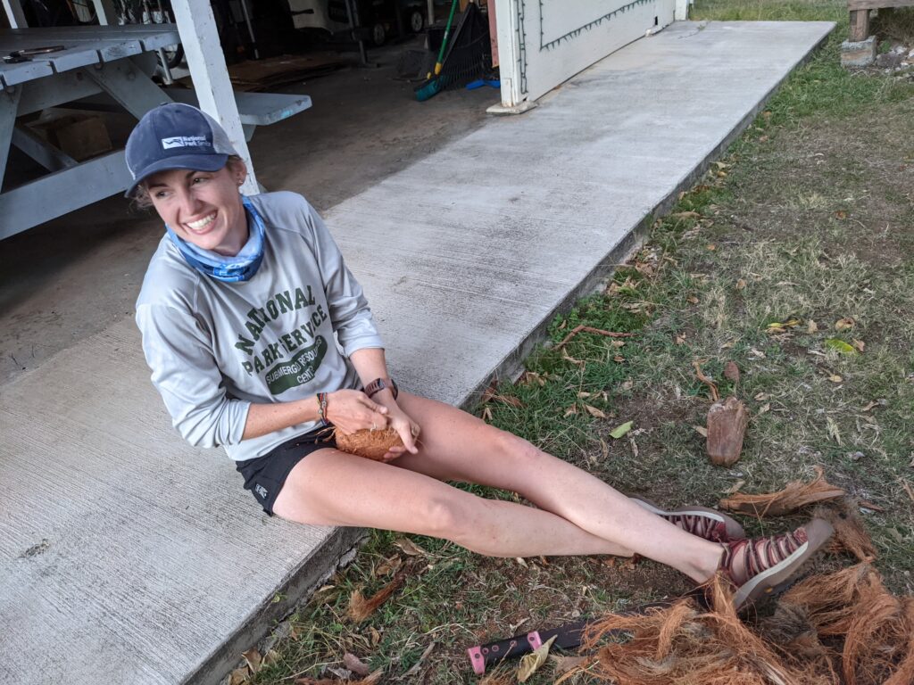
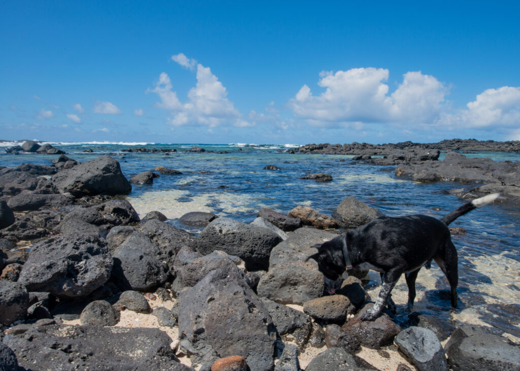
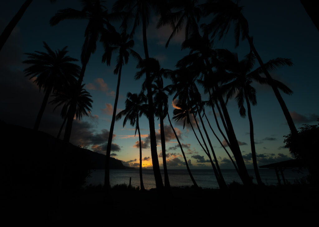
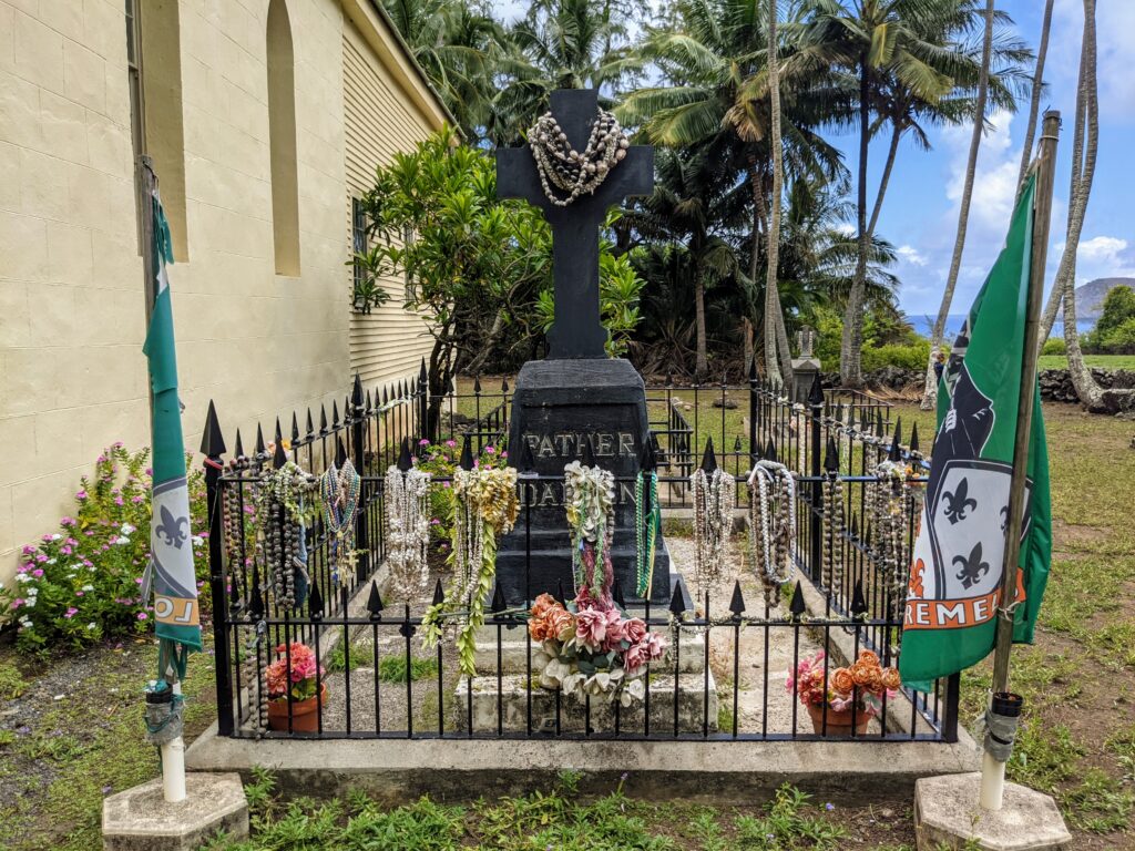
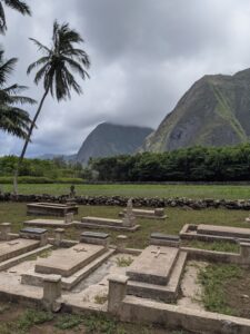
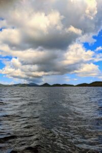
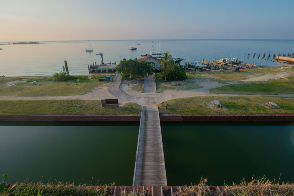
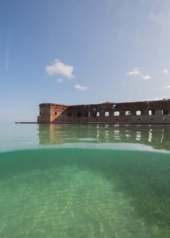
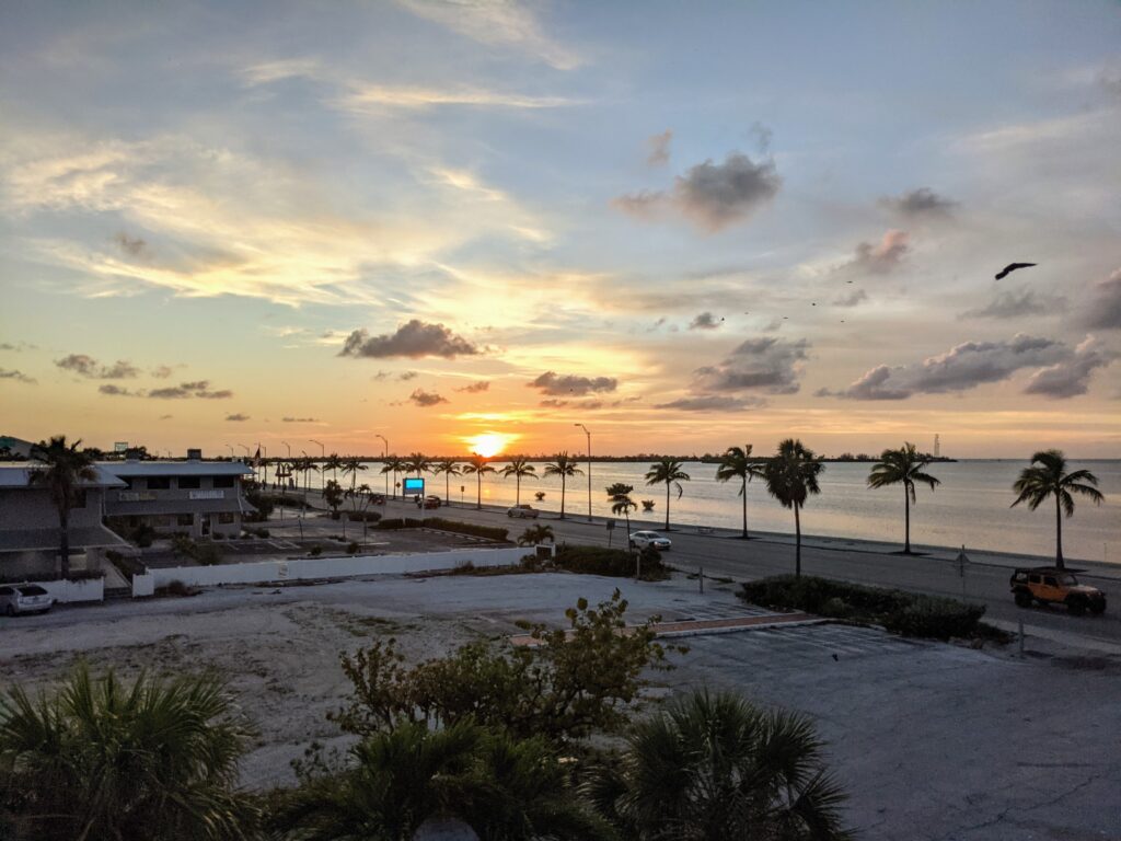
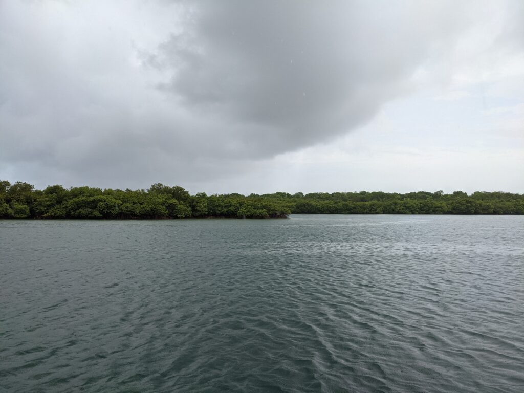
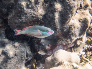
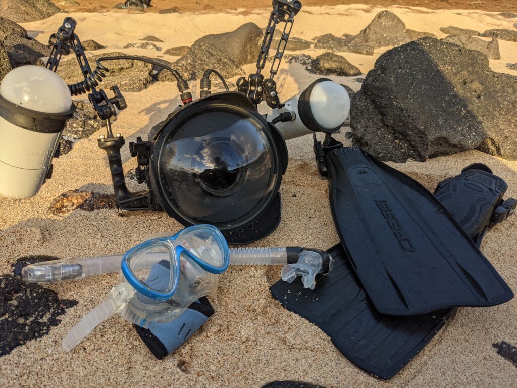 Lots of my evenings in Kalaupapa were spent enjoying the sunset from the beach and snorkeling with the camera.