Hi everyone!! My name is Teagan Cunningham, and I am honored to be the Our World Underwater Scholarship Society’s 2024 Dr. Lee H. Somers American Academy of Underwater Sciences (AAUS) Scientific Diving Intern. I will spend my internship gaining my AAUS Scientific Diving certification and learning new ways to combine my love of research with scuba diving!
A little about me… I am from Saddle River, NJ. I graduated from Bowdoin College in Brunswick, ME in December of 2022 with a Bachelor of Arts in Earth and Oceanographic Science. I have always had a love for the ocean: growing up going to the Jersey Shore in the summer. After graduation I moved to Key Largo, FL where I obtained my PADI Divemaster certification and started working at Rainbow Reef Dive Center as a dive guide! I began my internship in June of 2024 at the Shannon Point Marine Center in Anacortes, WA!
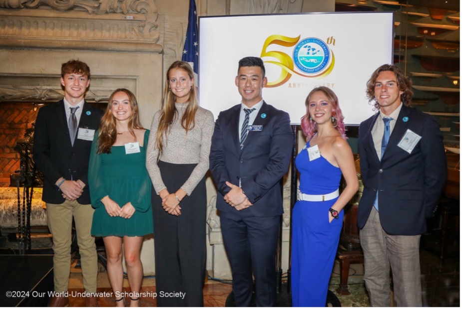
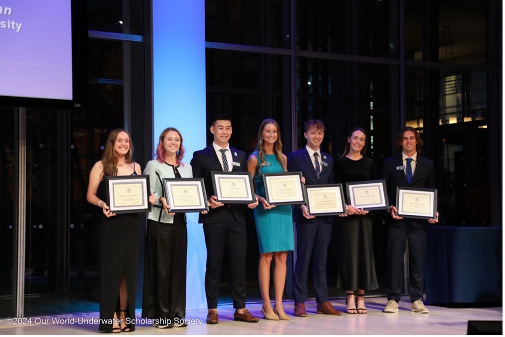
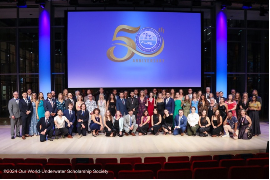
The Our World Underwater Scholarship Society’s 50th Anniversary
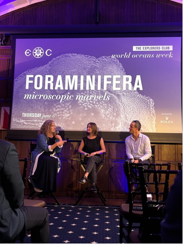
May 31st, 2024 – Prior to the start of my internship, I traveled home to NJ and then to NYC for the 50th Anniversary celebration of the Our World Underwater Scholarship Society. OWUSS hosted an exciting weekend filled with impactful presentations and dinner events bringing together passionate leaders in the underwater world. Since it was the 50th anniversary, OWUSS went big having the first Alumni Symposium in which previous scholars and interns of OWUSS presented a little about themselves and the exciting new ocean related work they are doing. Everyone was so welcoming, kind, and truly willing to help the new generation of ocean advocates. I am so grateful to be part of this inspiring group of leaders and ocean enthusiasts. Thank you to OWUSS, the Times Center, New York Yacht Club, and the Explorers Club for a wonderful weekend! After the jam-packed weekend, I stayed in New York to participate in World Ocean’s Week hosted by the Explorer’s Club. This week continued the amazing presentations by ocean leaders around the world including a discussion panel with Dr. Sylvia Earle. These presentations and panels were followed by cocktail hours in which I had the opportunity to meet the influential people I aspire to be like!
Welcome to the Shannon Point Marine Center and Cold-Water Diving!
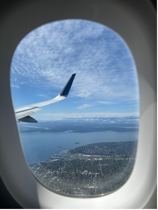
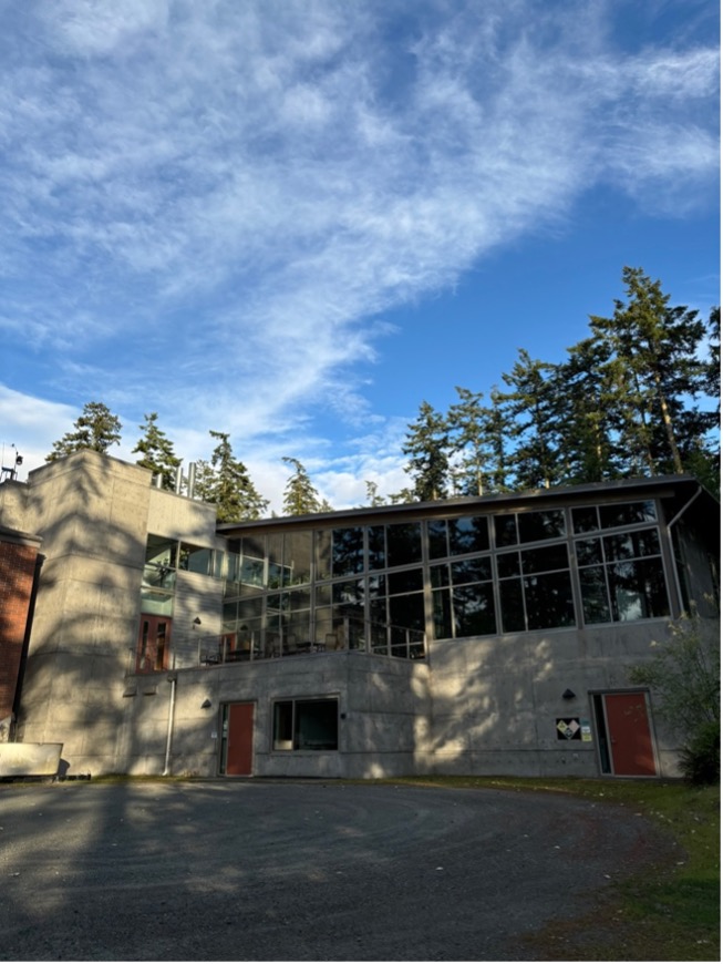
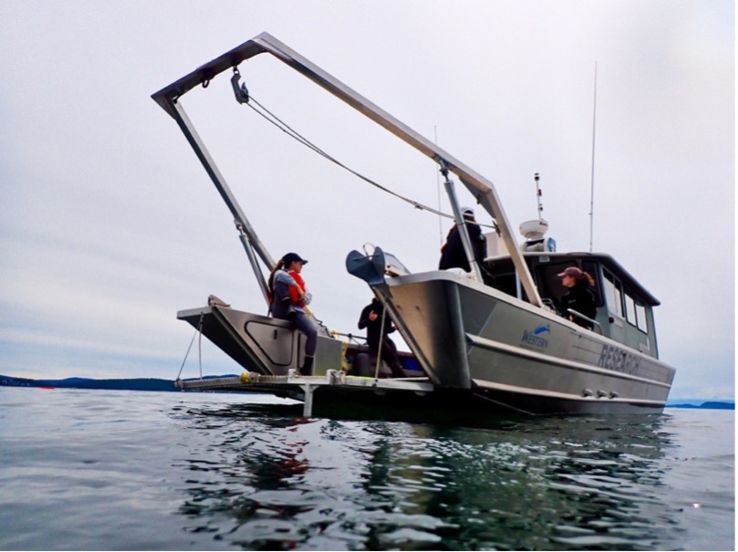
June 10th, 2024 – I traveled from NJ to WA! As we started to make our final descent into Seattle, I remember seeing the mountains to my right and immediately was giddy. I had never seen the mountains towering over the water like that. After I collected all my luggage, I hopped on the bus to make the 2-hour ride North to Anacortes, WA. As we pulled into the marina parking lot, one of my advisors Dr. Derek Smith was waiting for me! Derek is the Laboratory Manager and a Research Assistant Professor in Marine and Coastal Science. He was also the President of AAUS from 2020-2021. I then arrived at the Shannon Point Marine Center: my home for the next two months! The Shannon Point Marine Center (SPMC) is the marine and environmental science campus for Western Washington University (WWU).
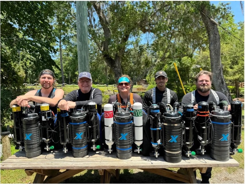
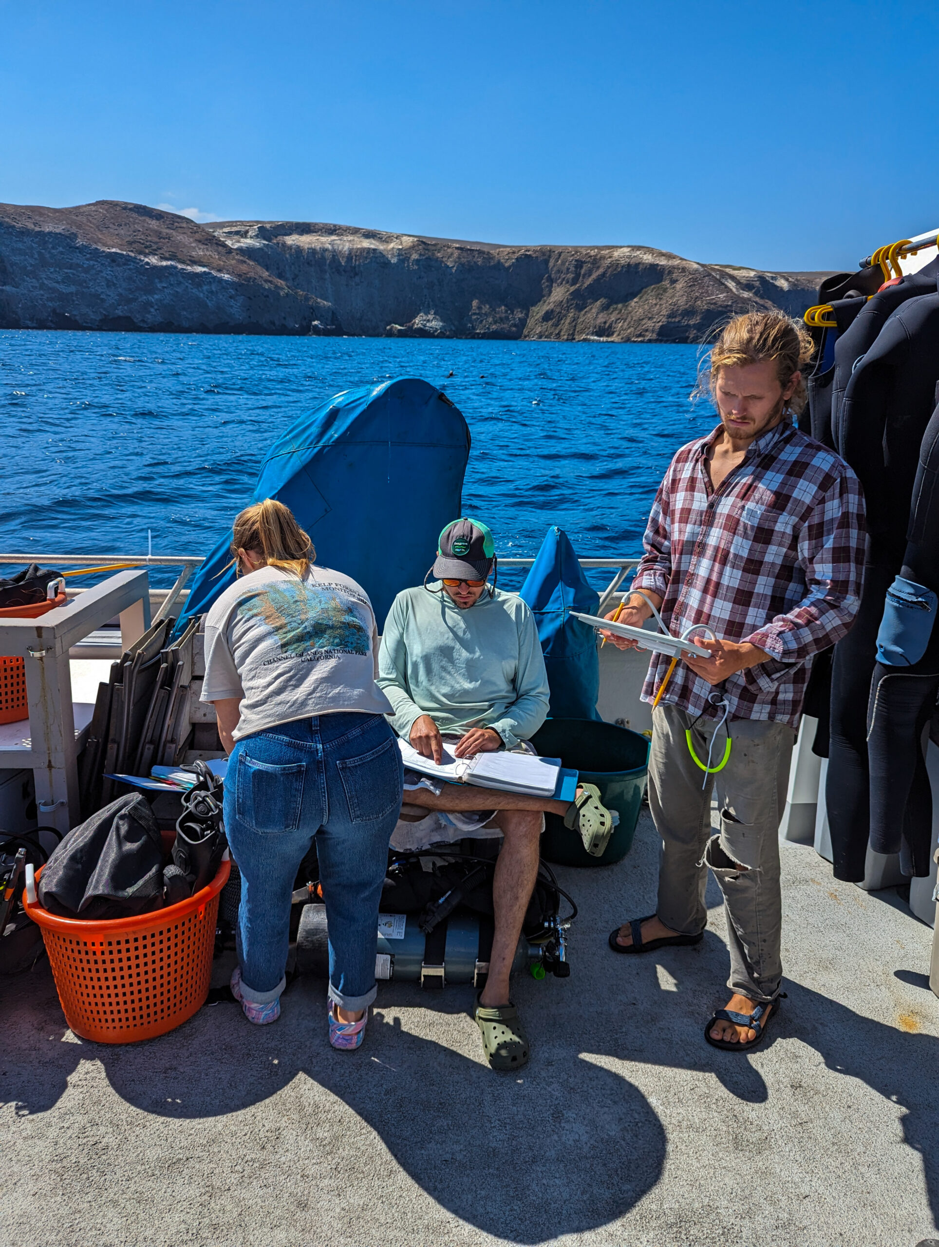
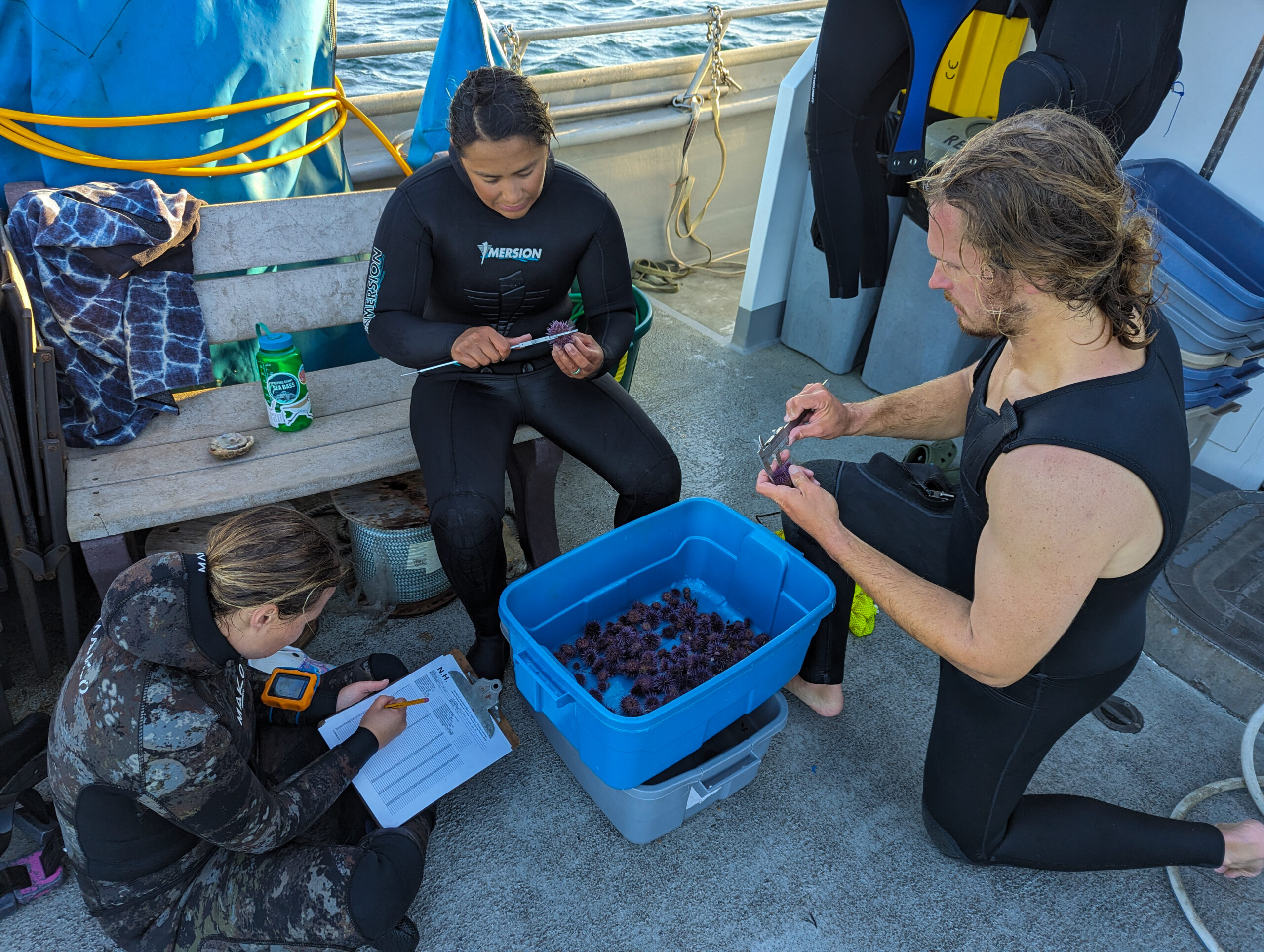
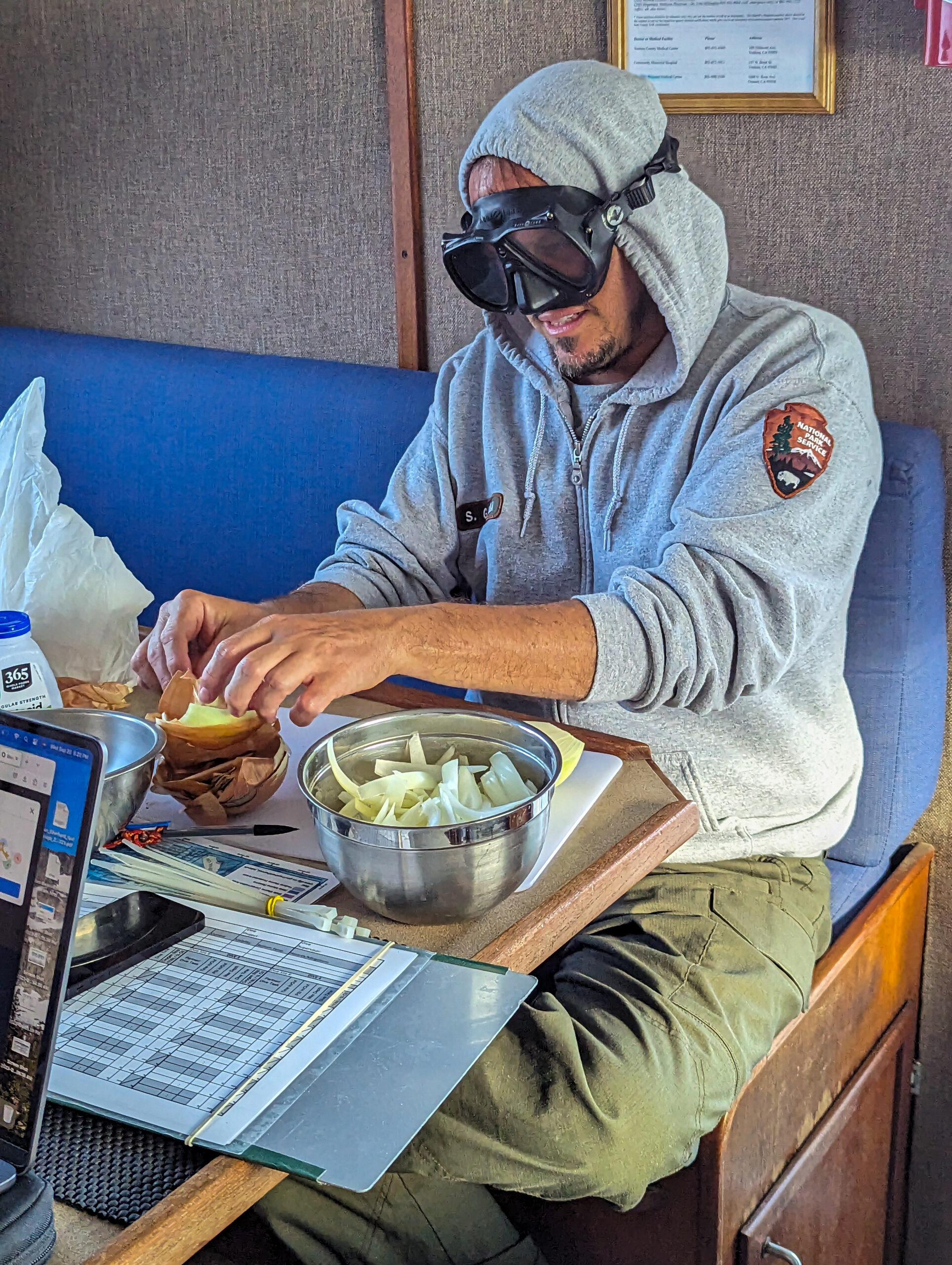
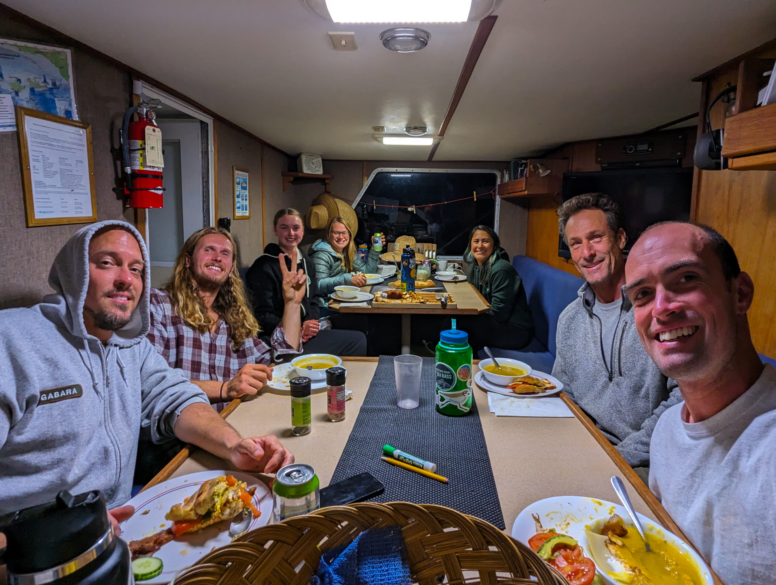
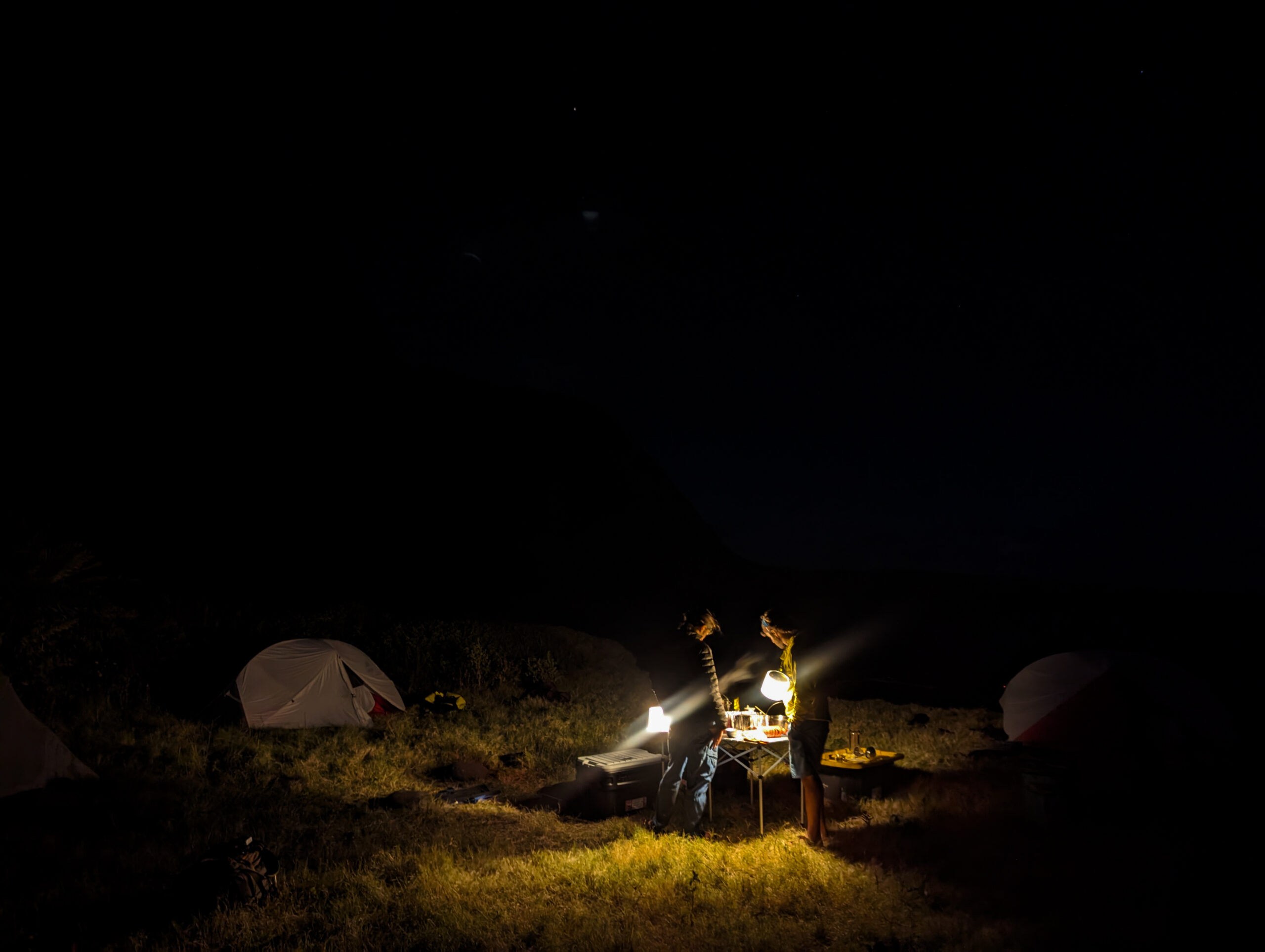
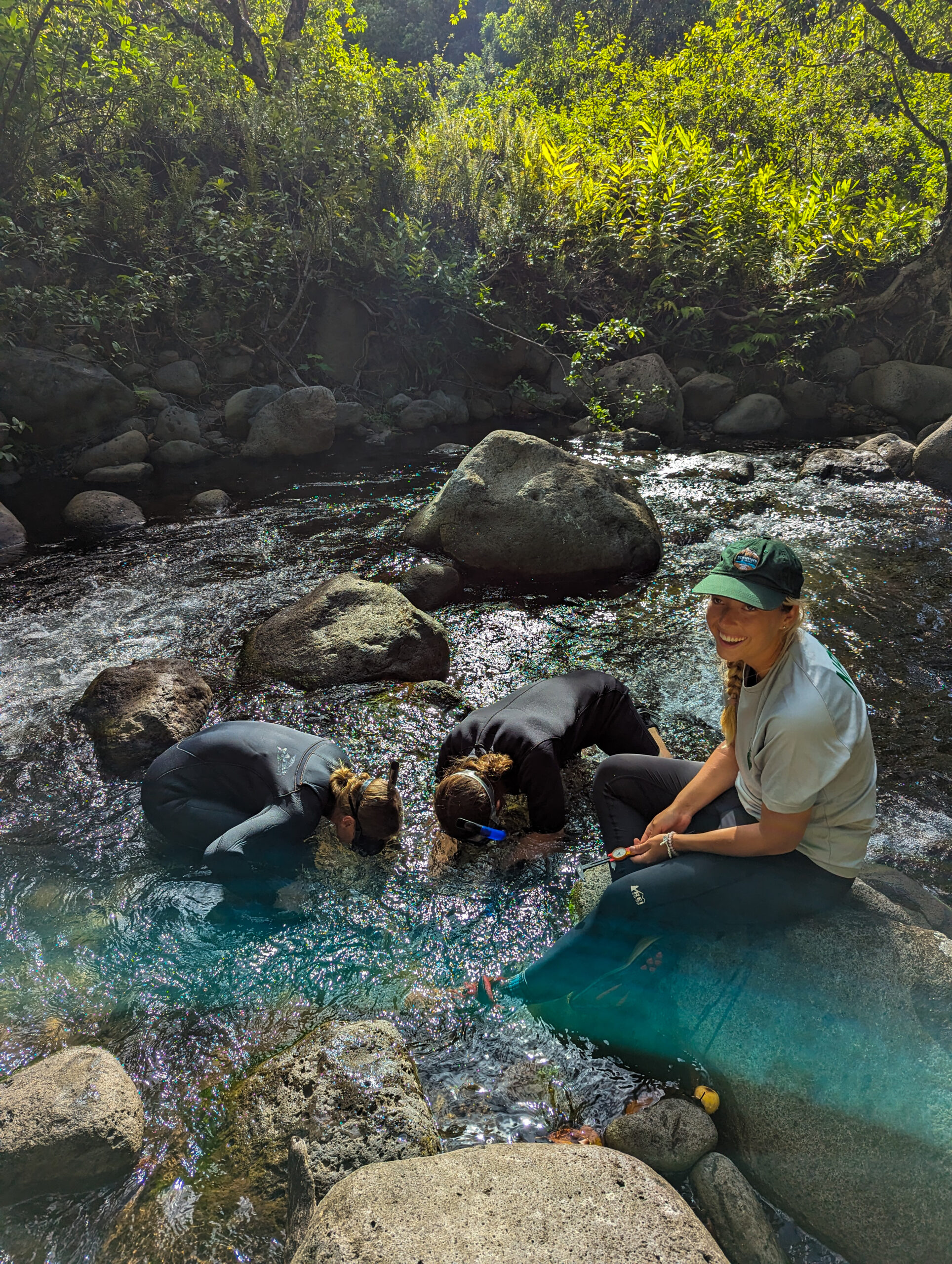
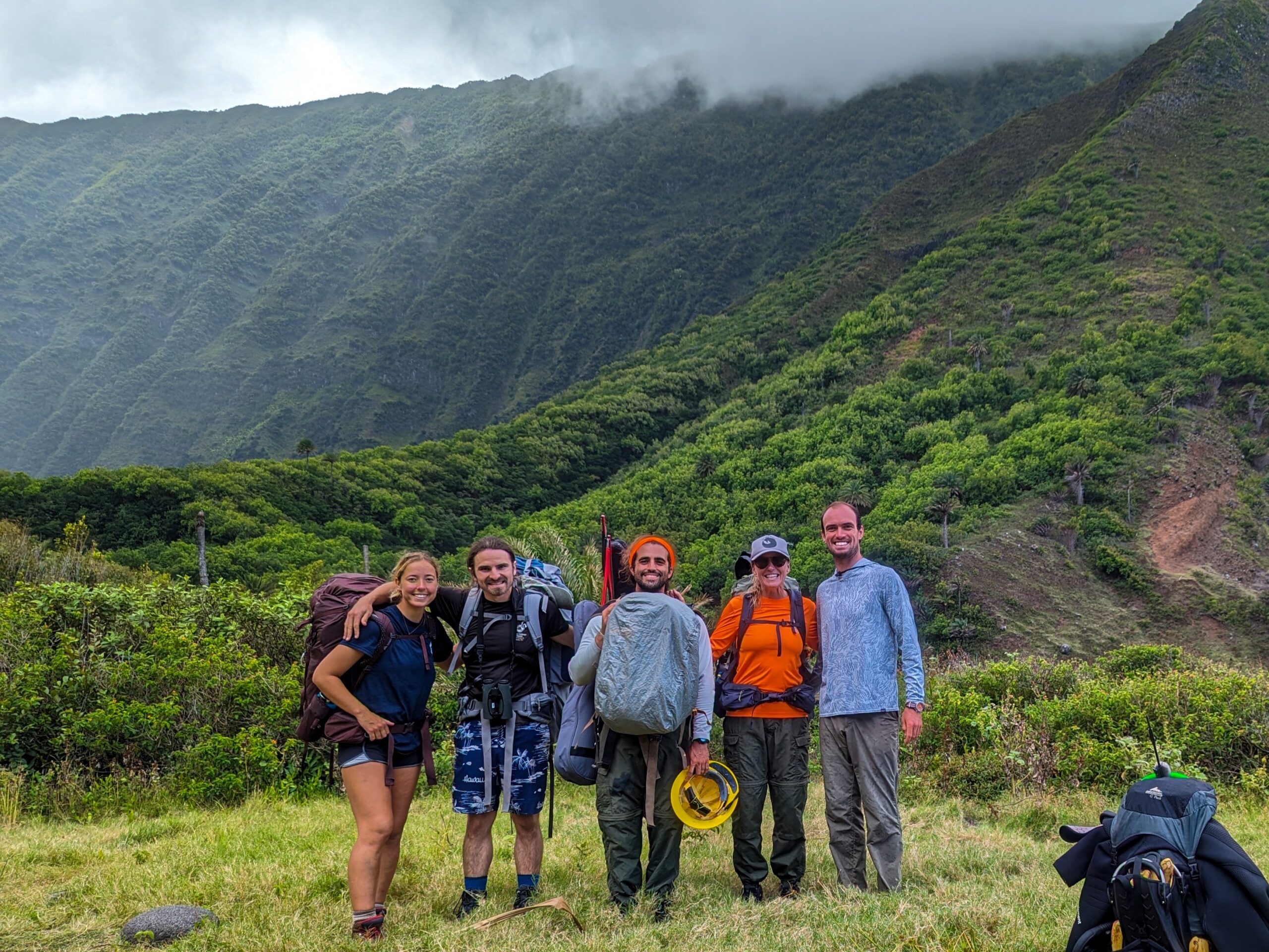
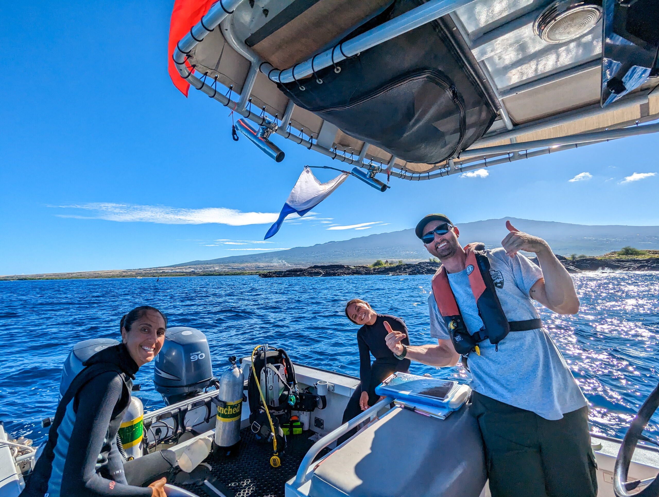
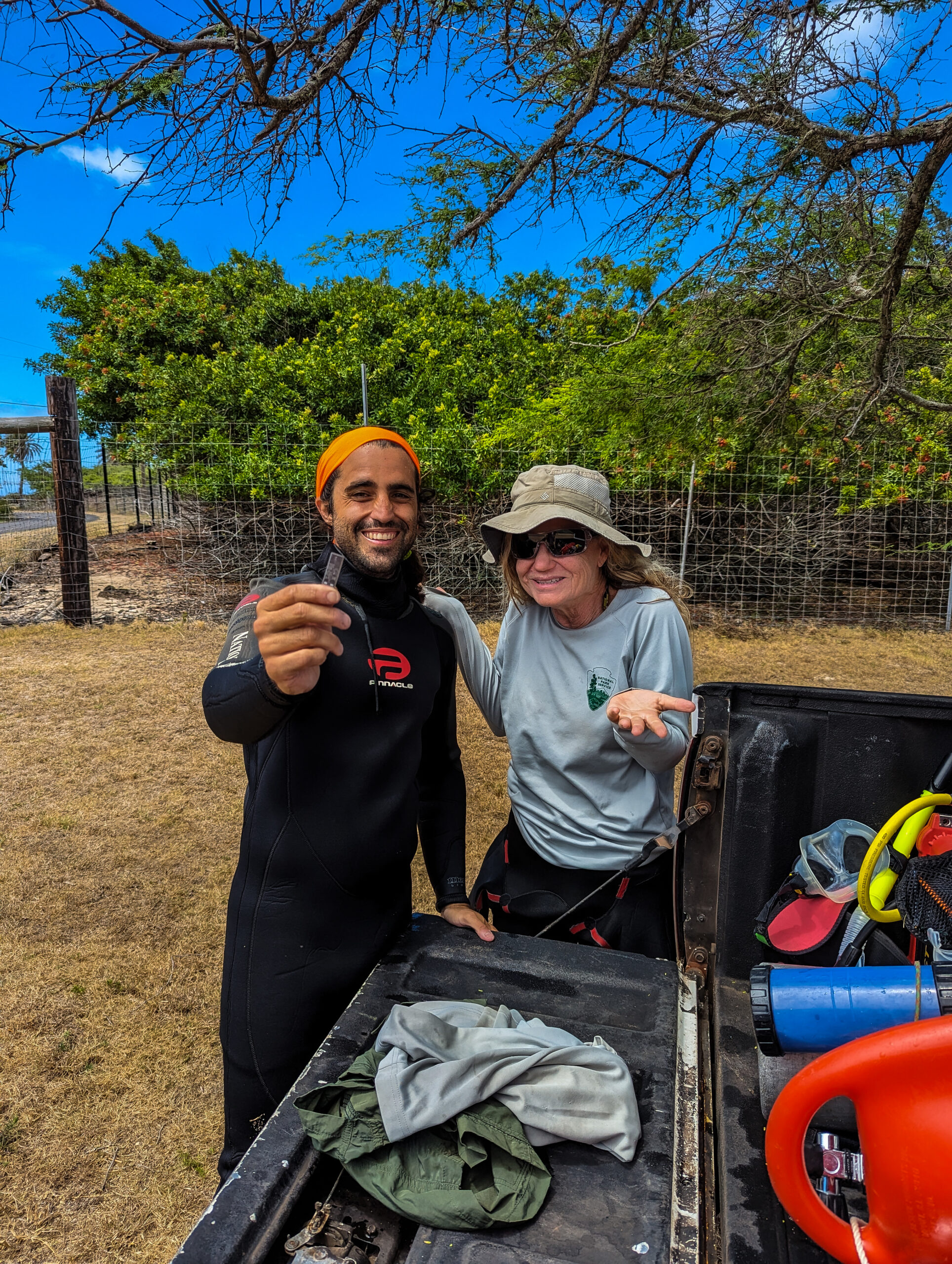
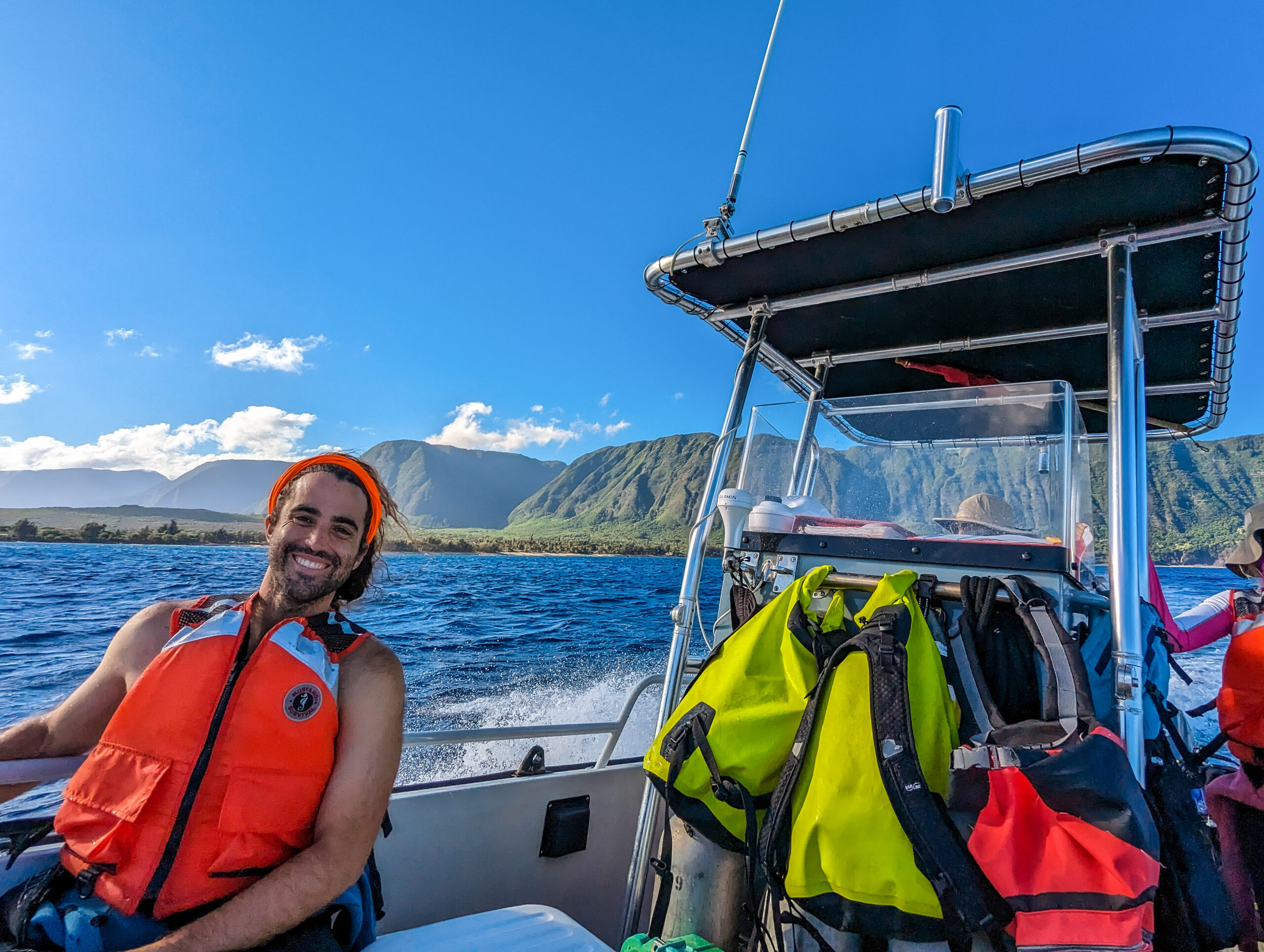
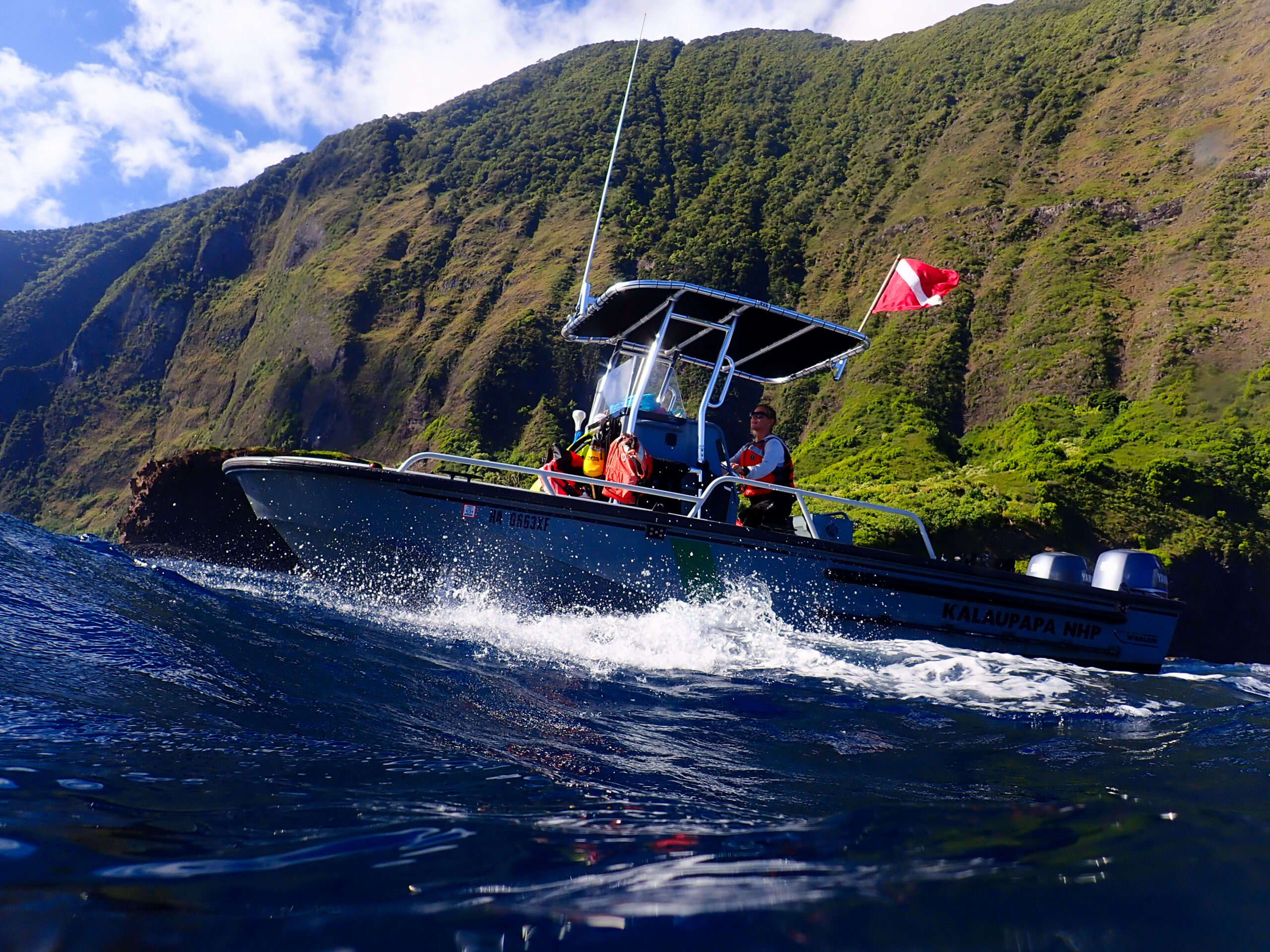
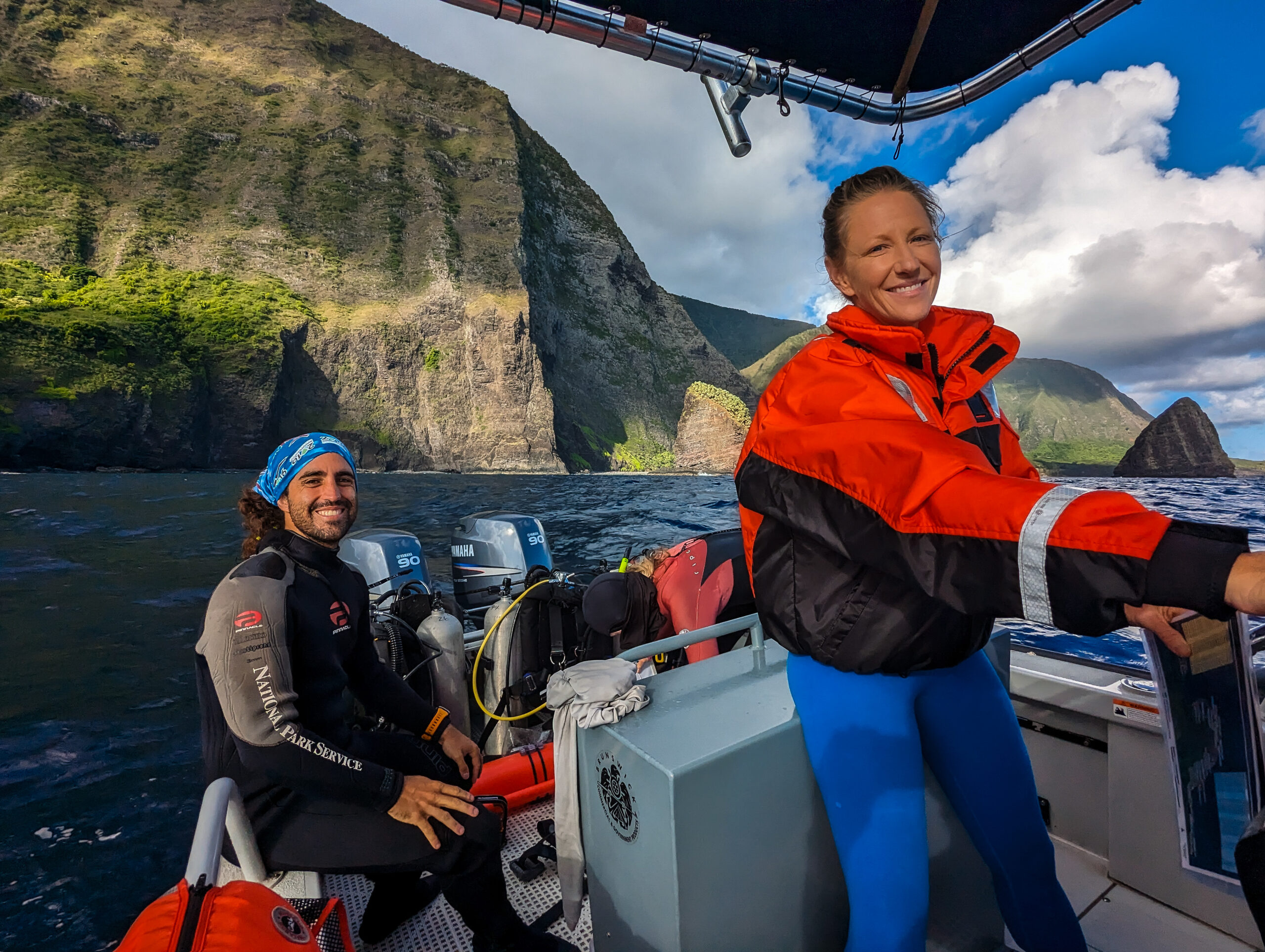
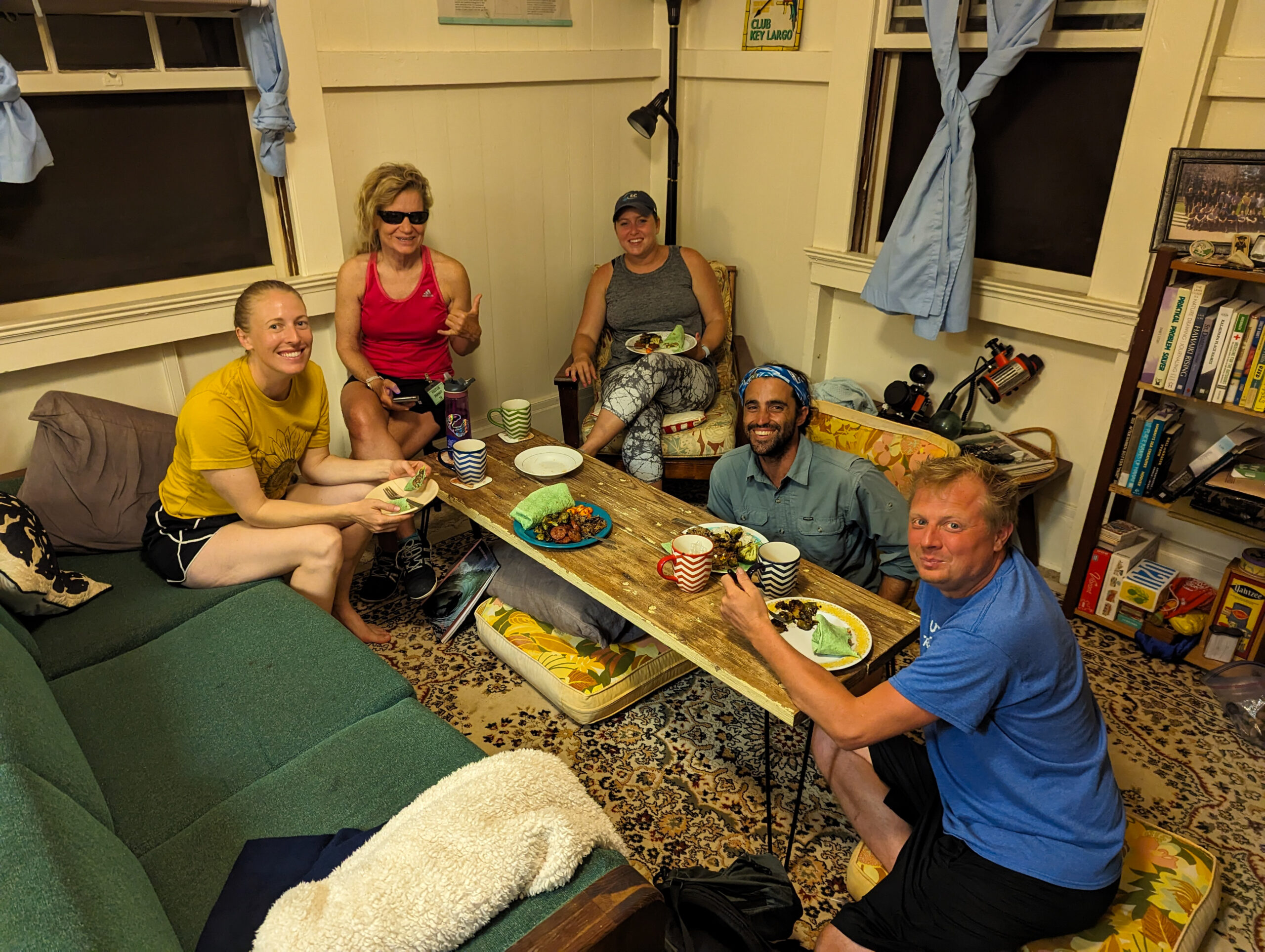
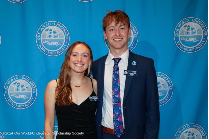
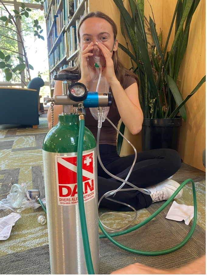
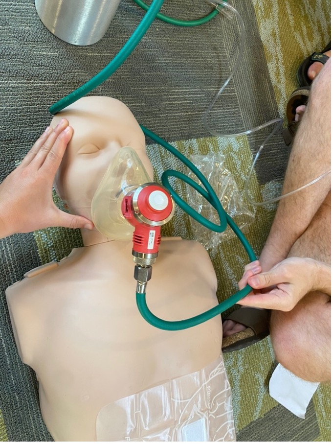
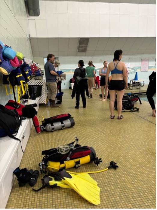
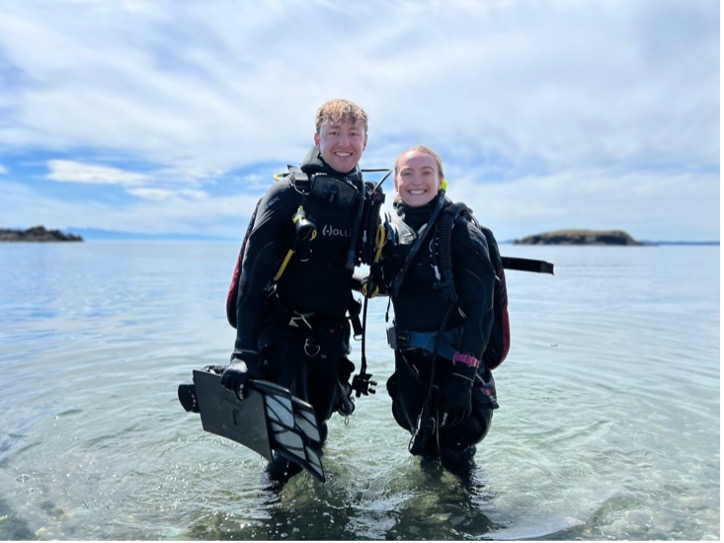
The first week of my internship was packed with introductions, e-learning, and CPR/ First Aid training. I met my housemates, who would become like my family, 8 Research Education for Undergraduates (REU) students, 2 WWU art students, and Ayden Jacobs: the OWUSS AAUS Mitchell Scientific Diving Research Intern. Captain Nate Schwarck, the Diving and Boating Safety Officer (DSO), and Derek gave us a tour of the facilities including the marine labs and scuba dive locker. All the faculty and staff at Shannon Point were overwhelmingly kind and down to earth. They put together a potluck welcome lunch to get to know each other which was by far my favorite part of my first week. We got to enjoy great food like enchiladas and orzo salad while hearing about the exciting research that’s going to take place this summer. Then it was time to get down to business! Our summer scientific dive team is Derek, Nate, Ayden, Ana Hoffman Sole (REU student), Larkin Garden (REU student), Katie Shaw (WWU student), Torren Lawley (WWU Student), Hannah Allen (WWU student), Jaime Blais (WWU graduate student), and me. During the first week, I began the electronic portion of my scientific dive class to refresh my memory on basic dive skills, safety, and new techniques for additional equipment use underwater. I also completed the e-learning and in-person practical DAN Diving First Aid version 3.0 training including emergency oxygen administration, basic first aid, and CPR.
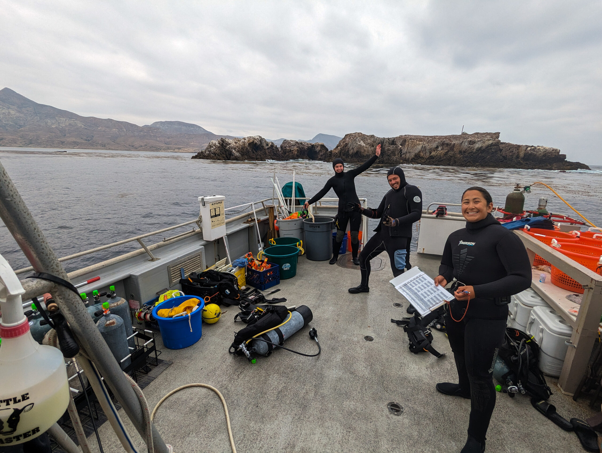
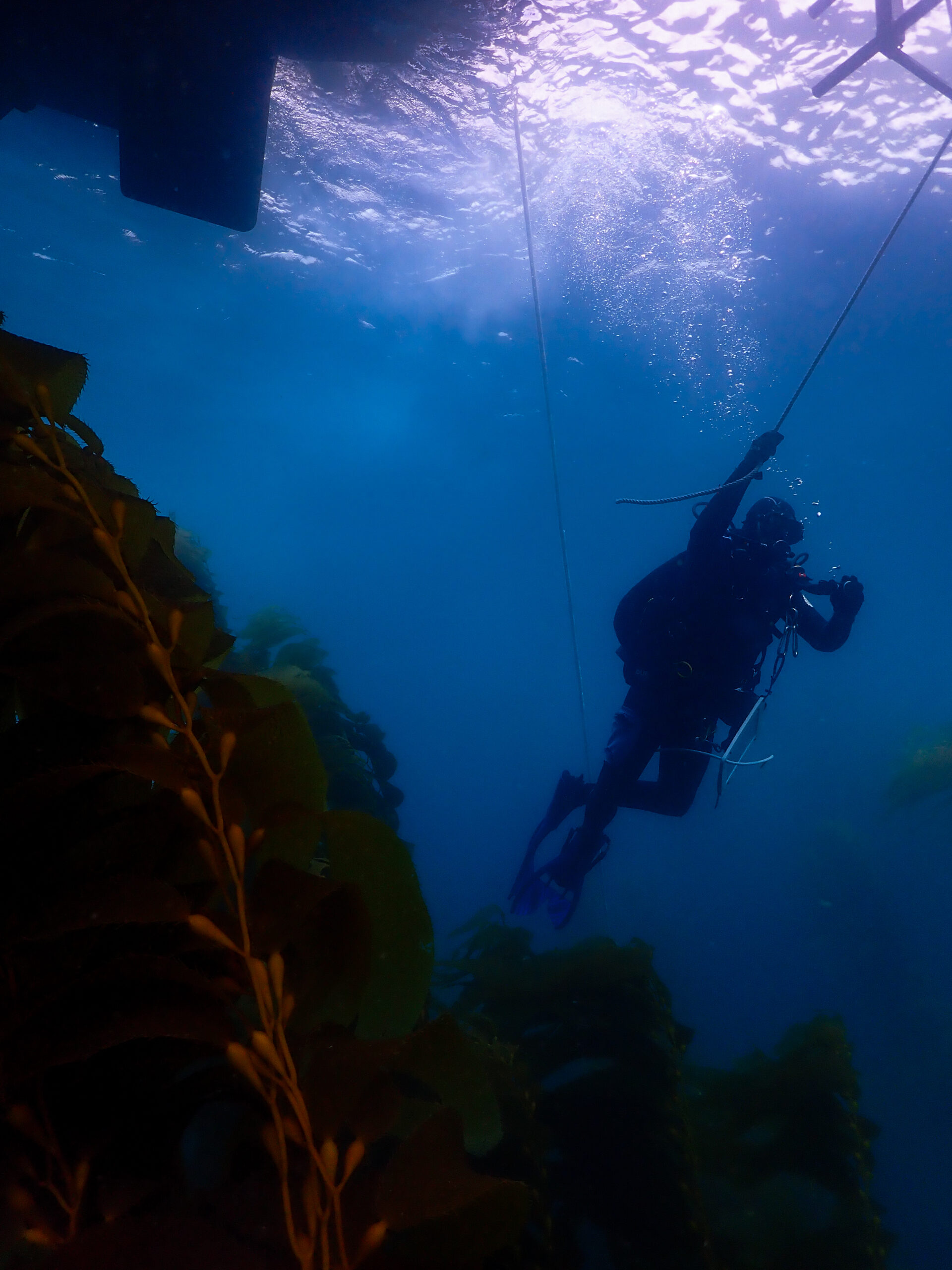
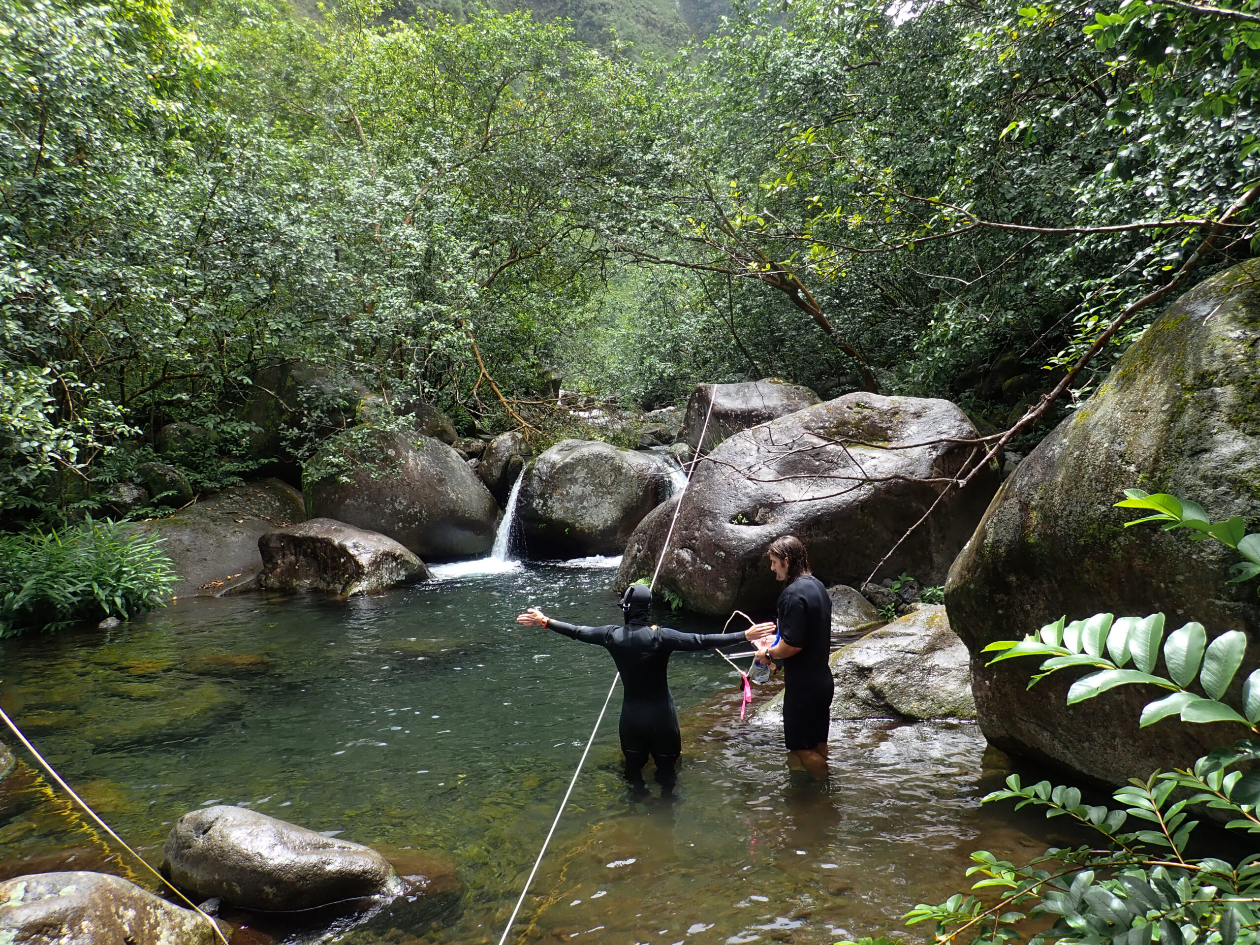
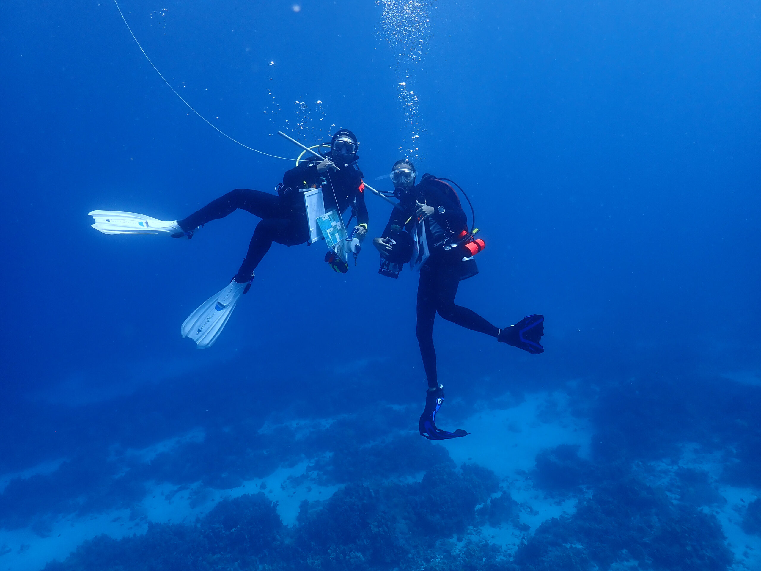
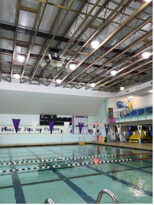
During the next couple weeks of my internship, we began our in-water training sessions including pool sessions, open water checkouts, rescue skills, and navigation training. We had three 2+ hour pool sessions at the local pool and fitness center to refine our diving skills such as regulator removal, mask removal and clear, buoyancy checks, and gear removal and replace. We also completed the swim test which includes a 400 yd swim in under 12 minutes, 25 yd underwater swim in a single breath, 10-minute tread, and 25 yd swimming tow.
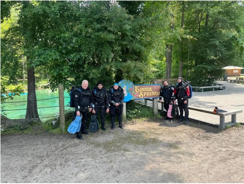
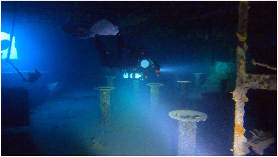
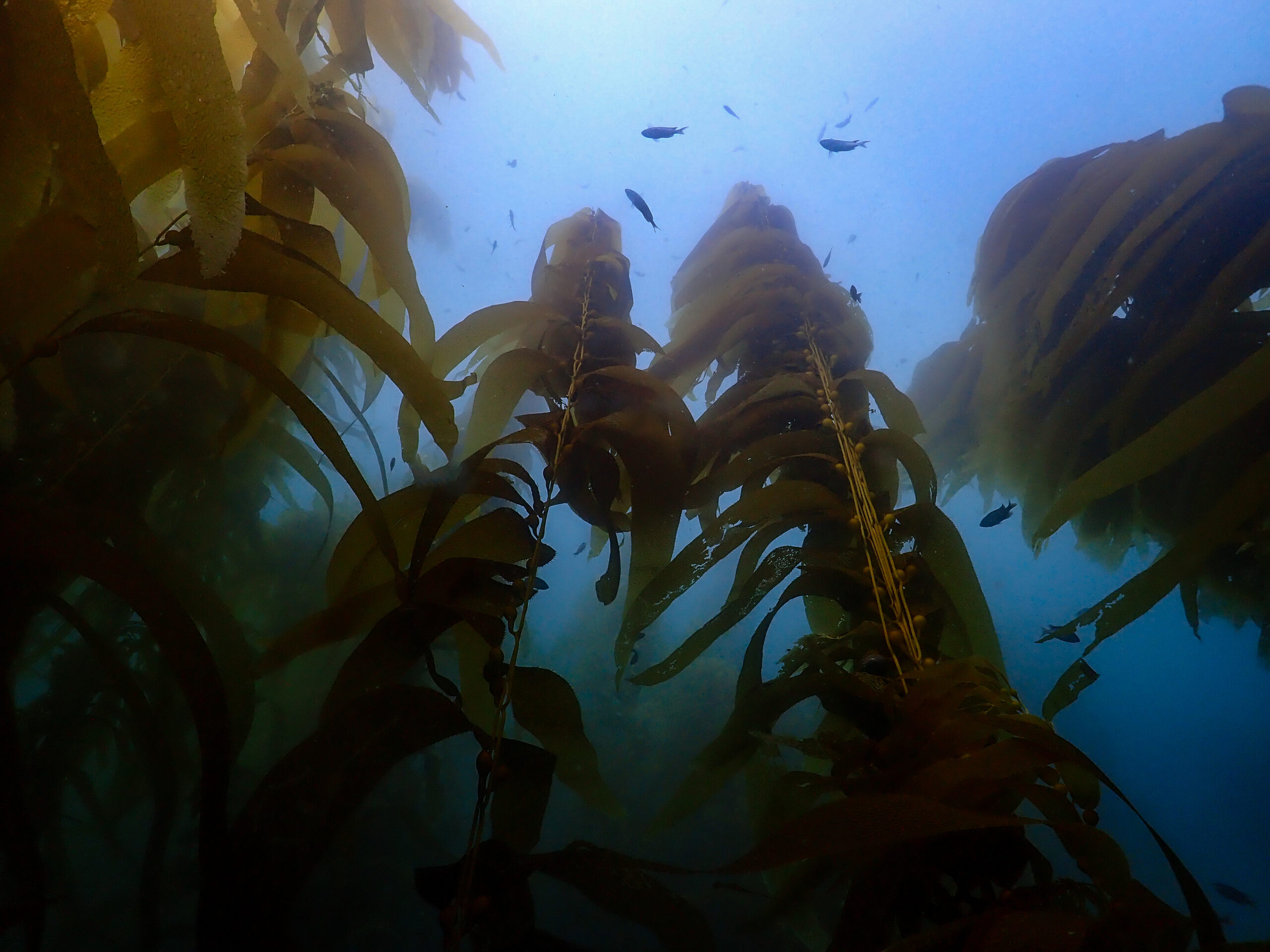
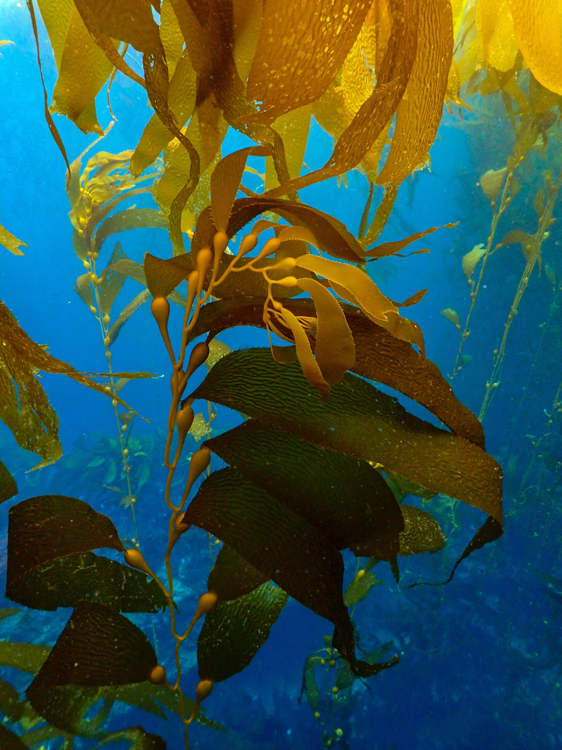
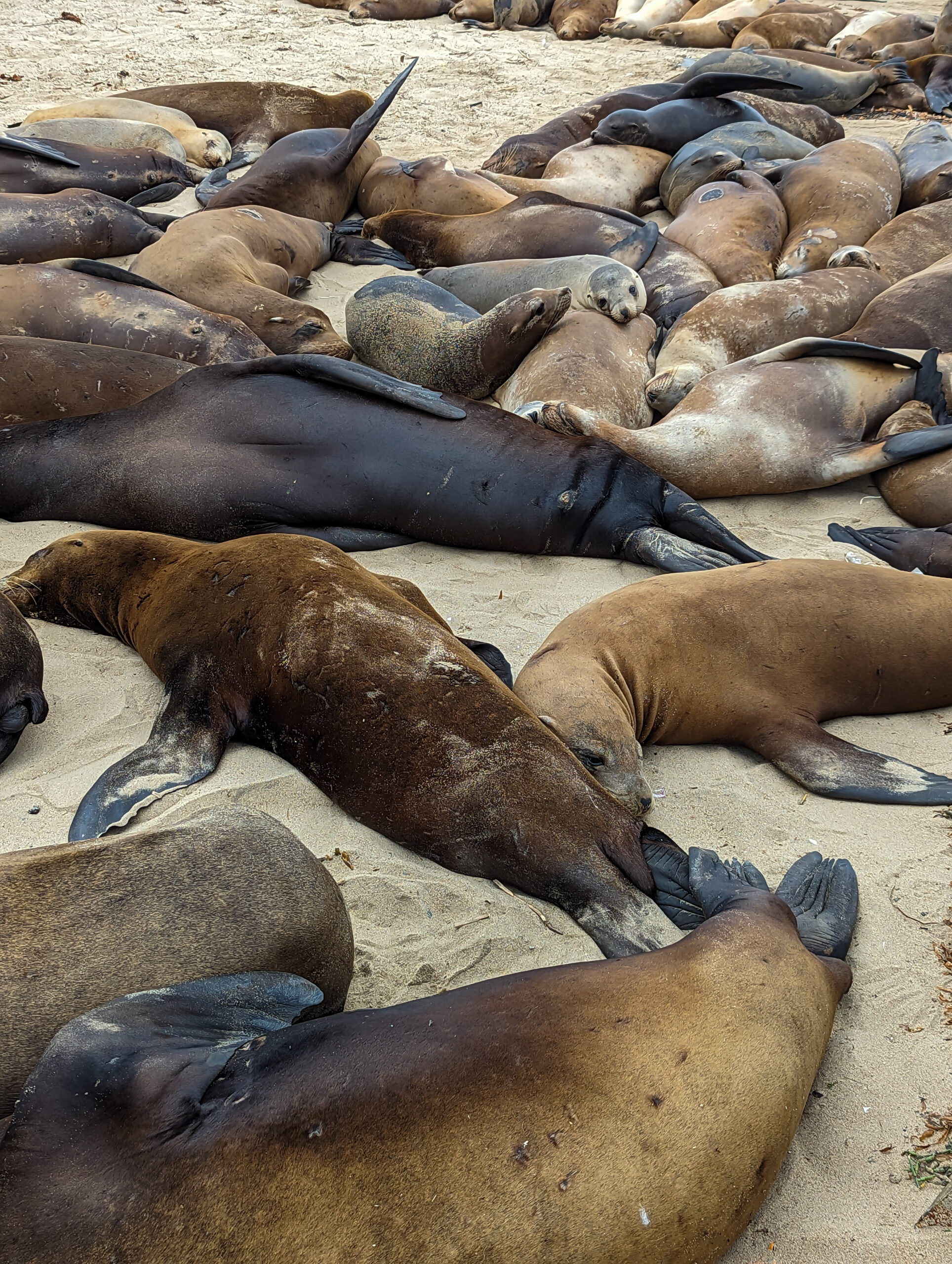
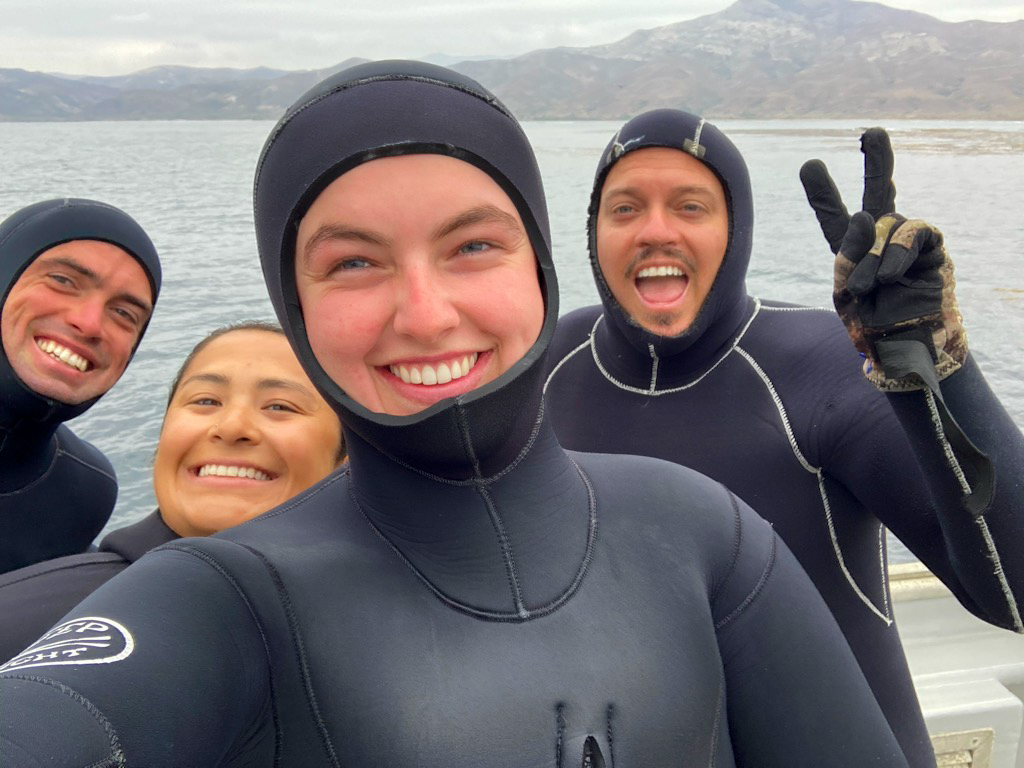
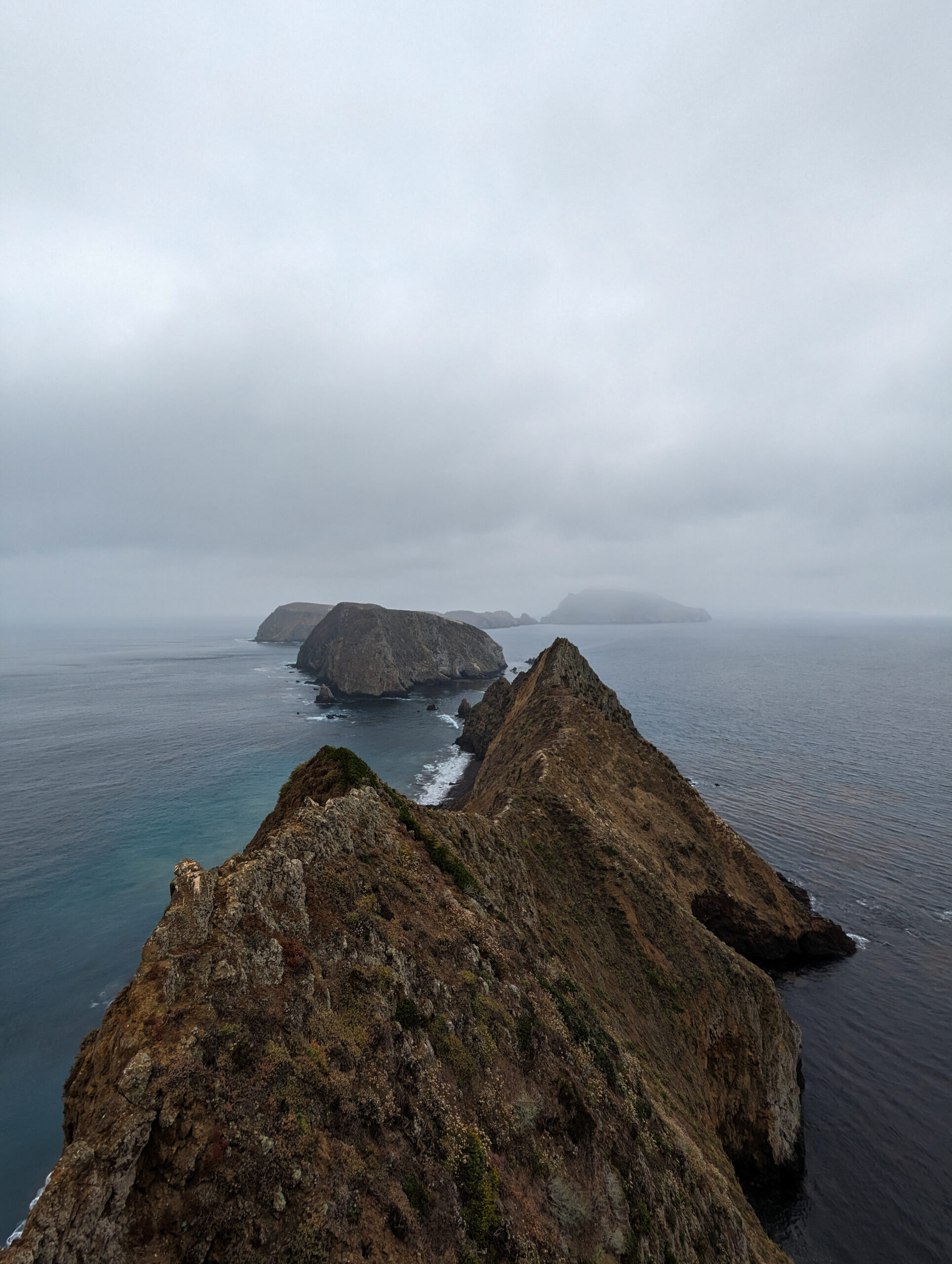
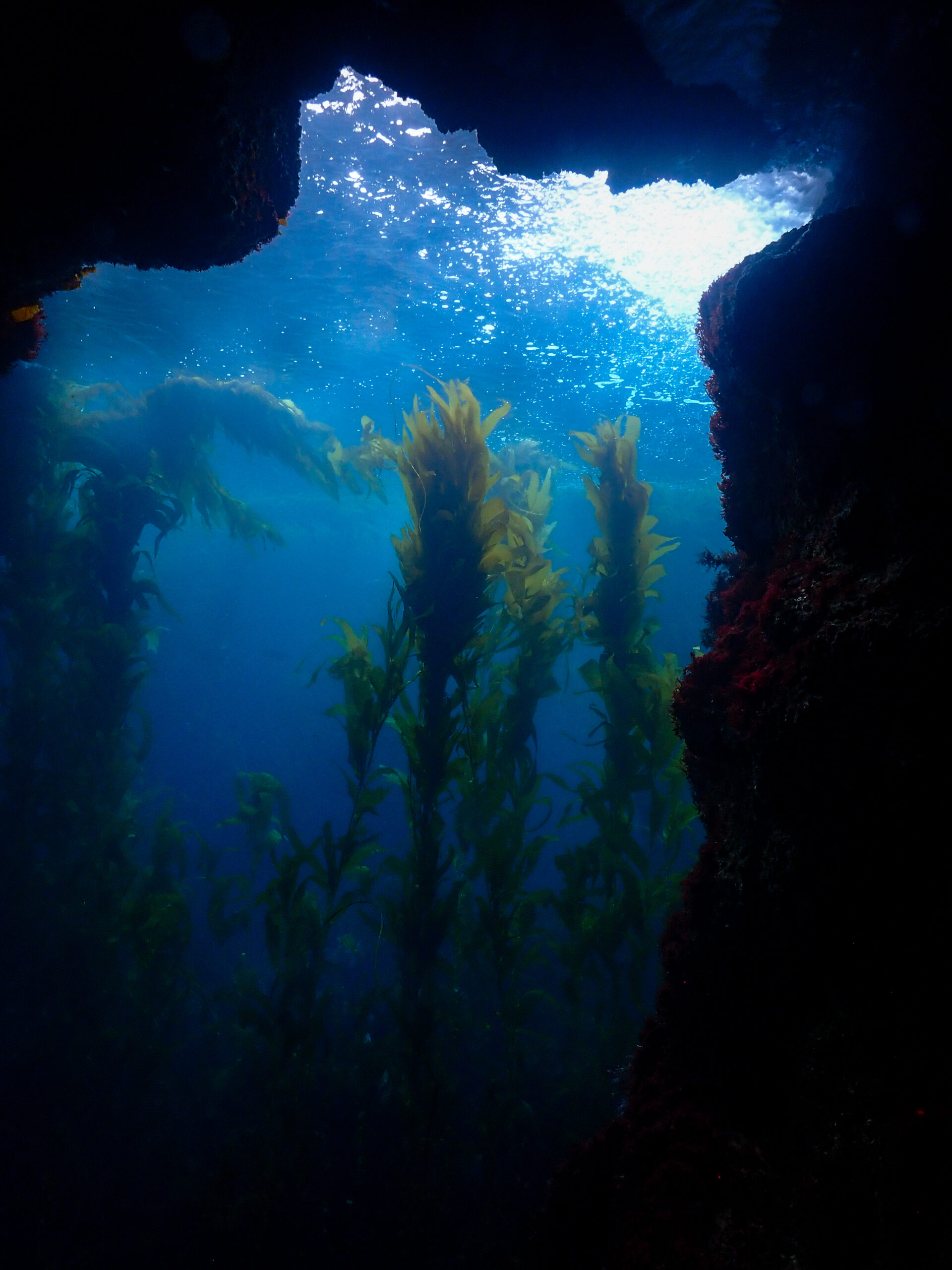
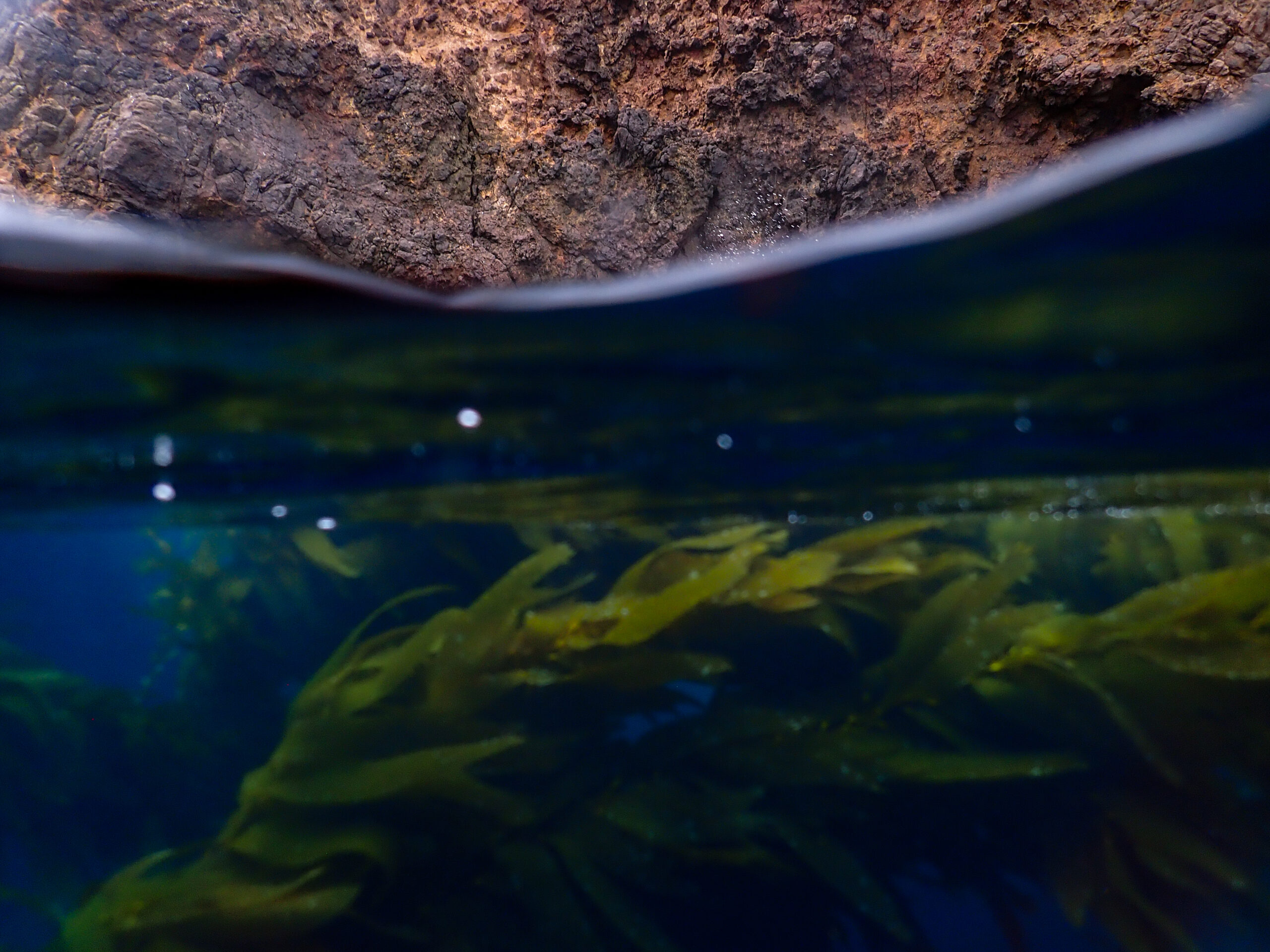
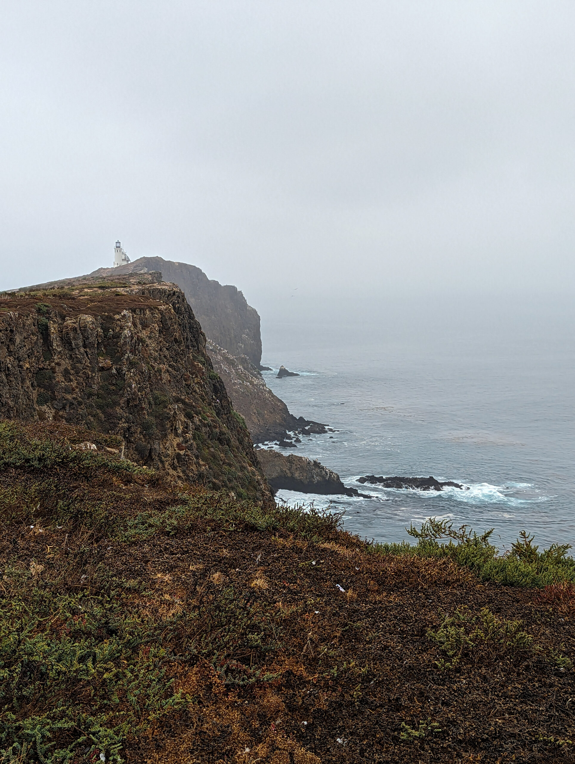
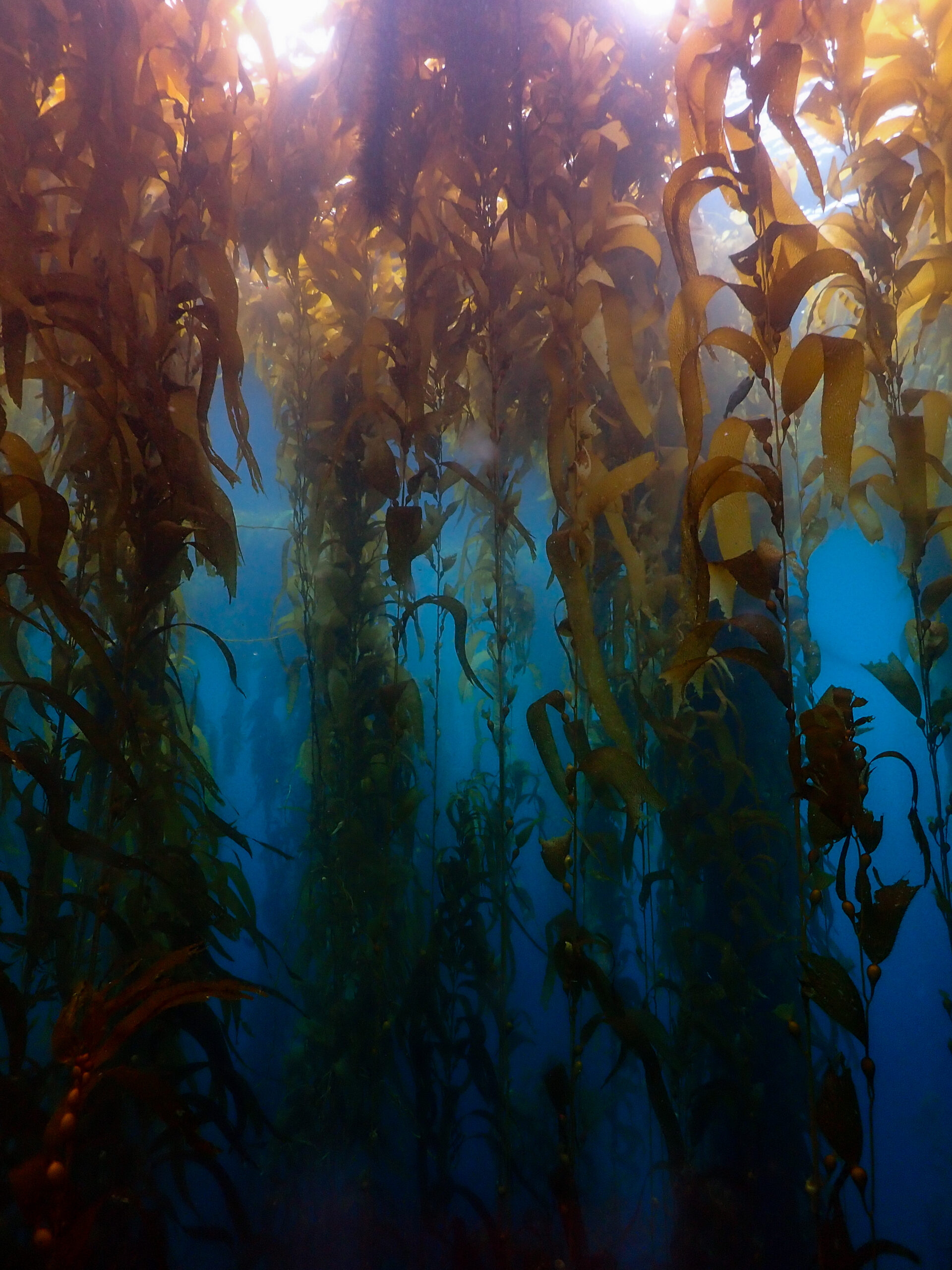
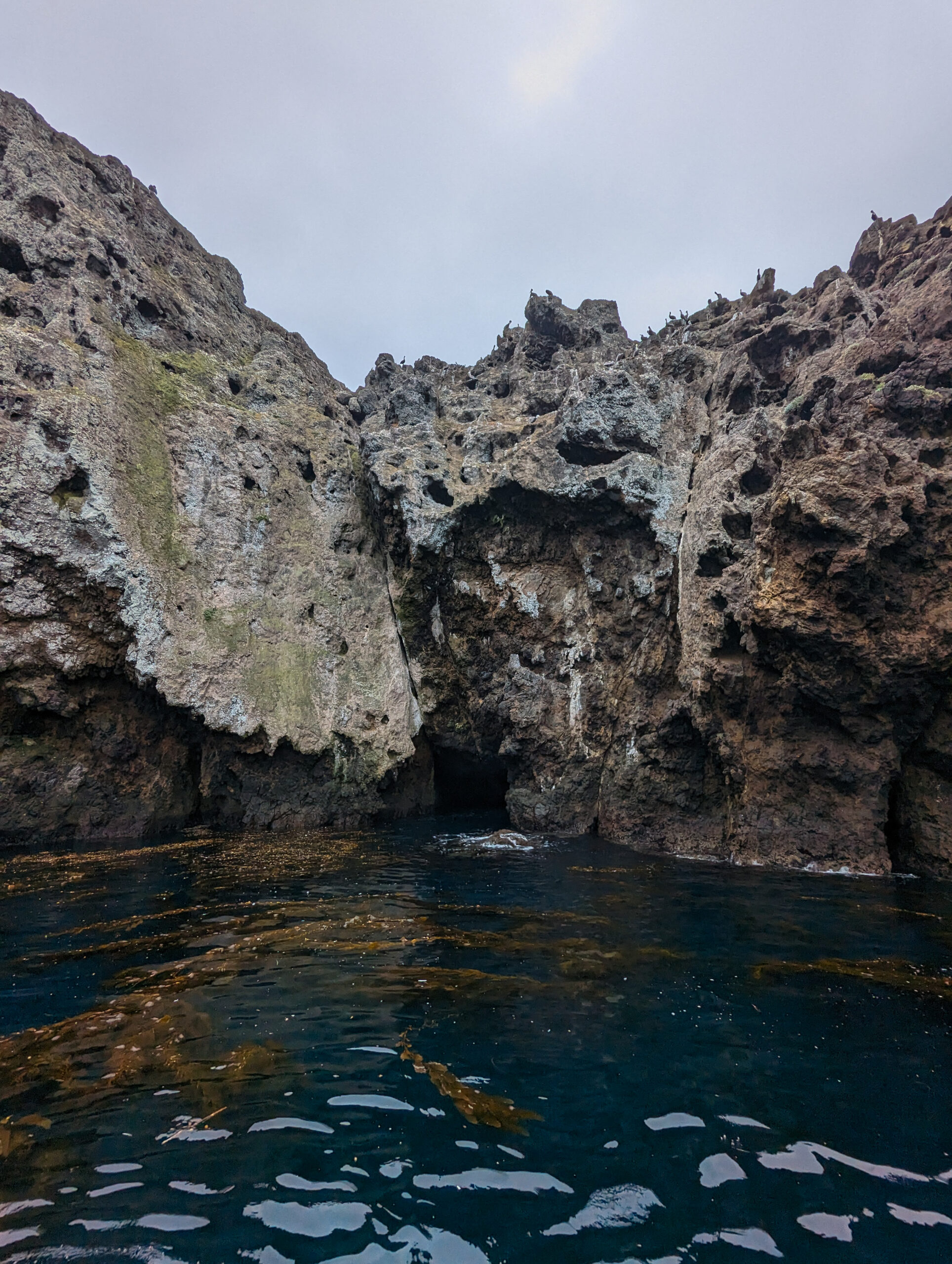
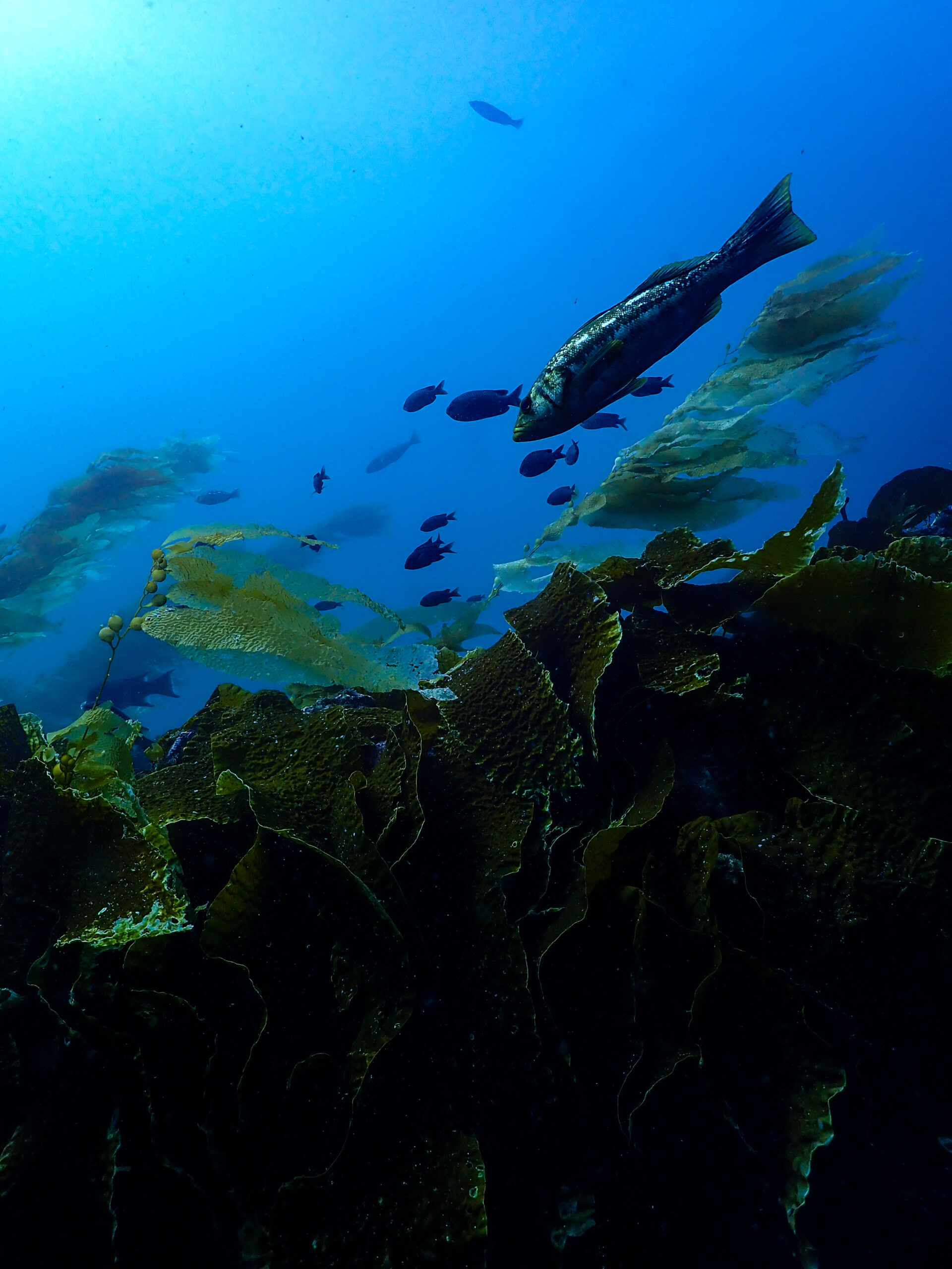
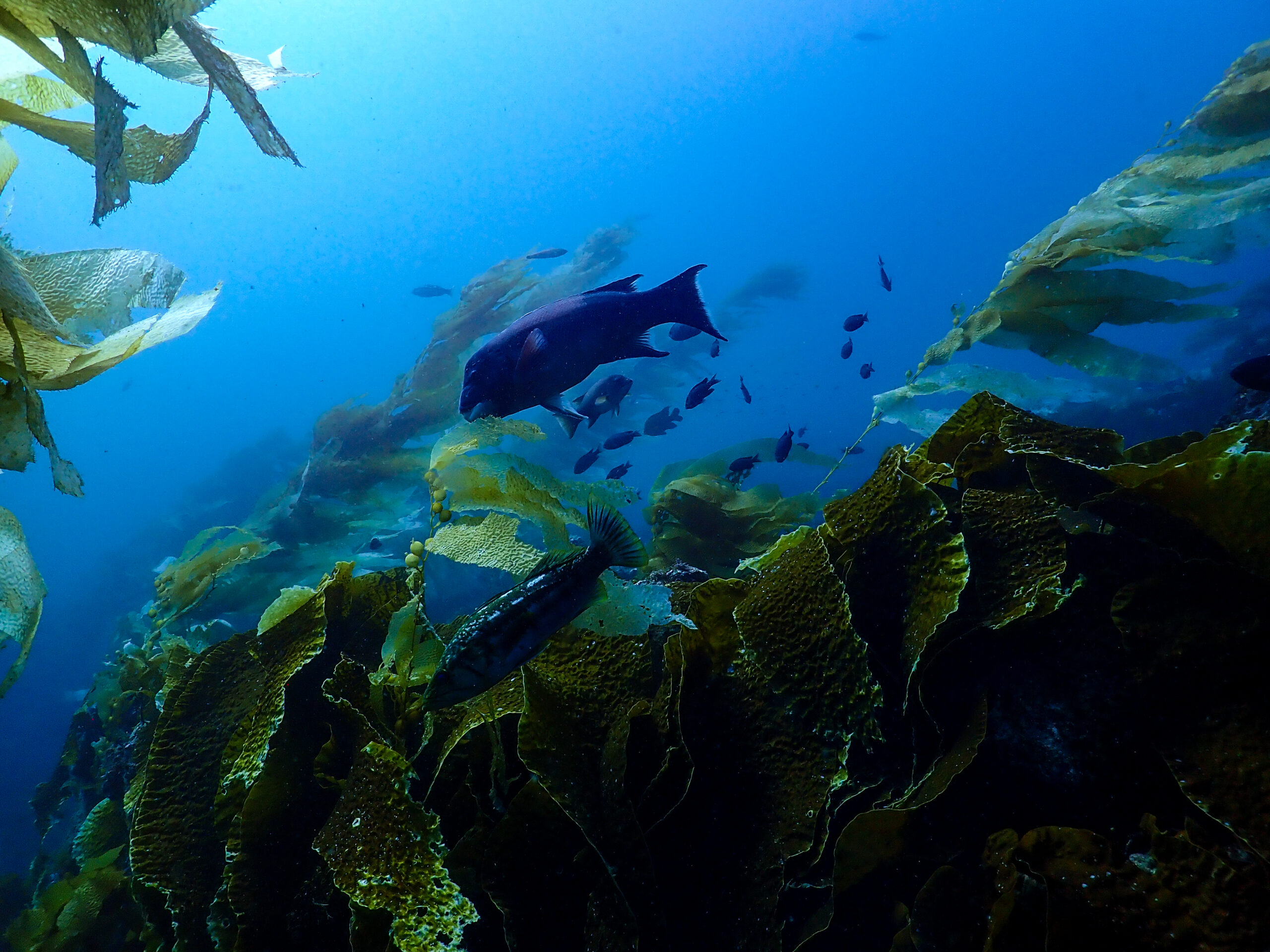
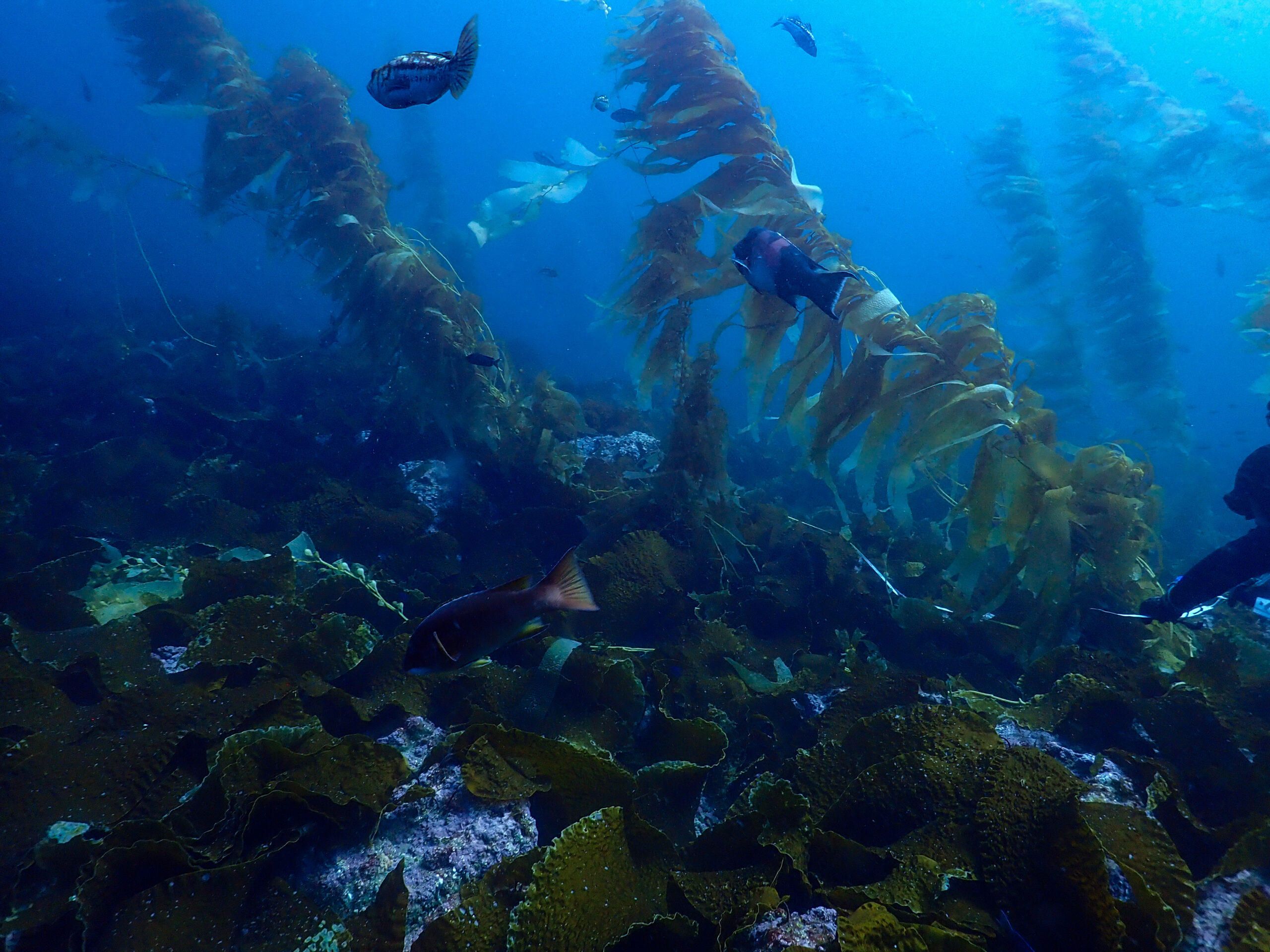
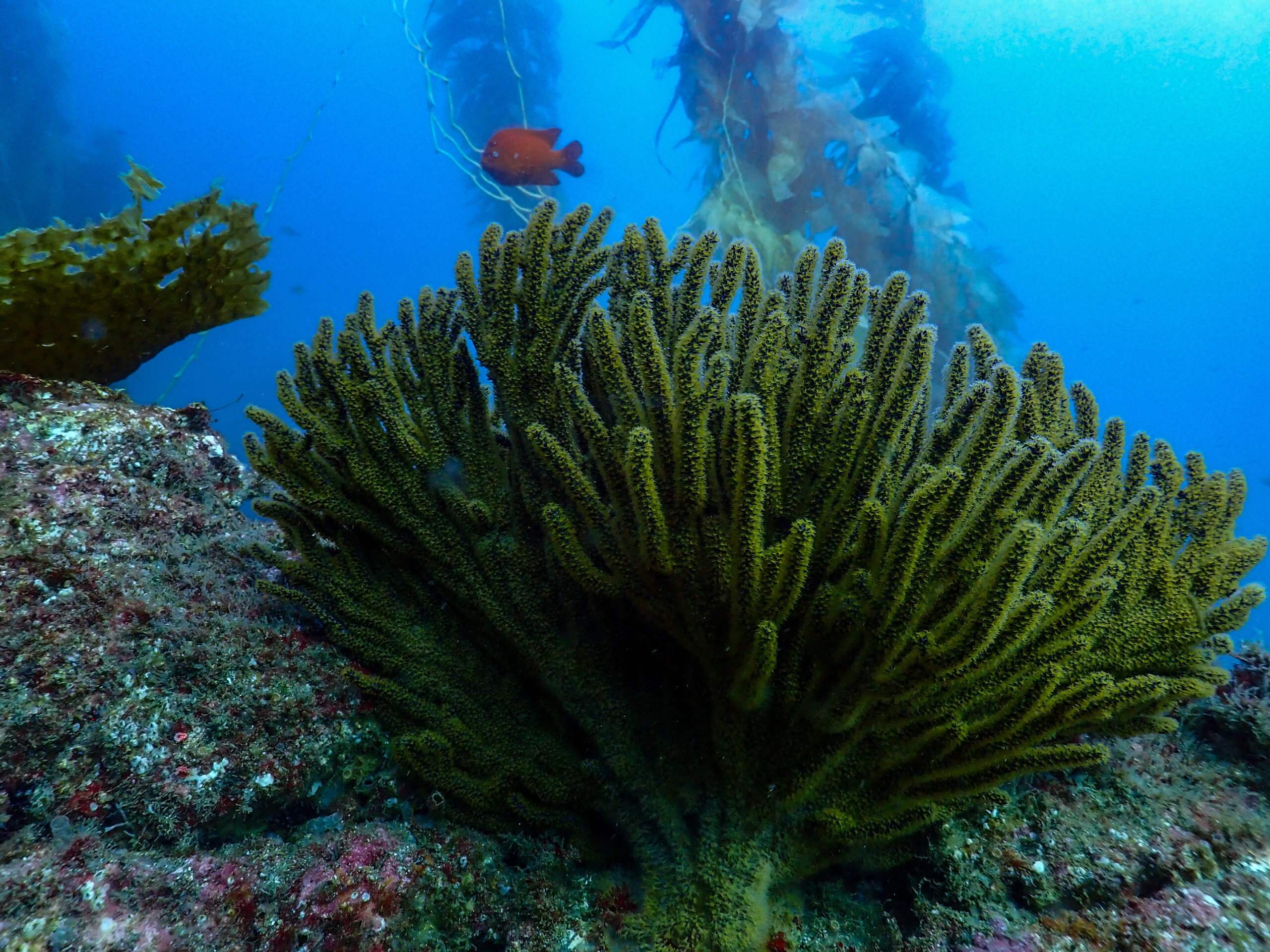
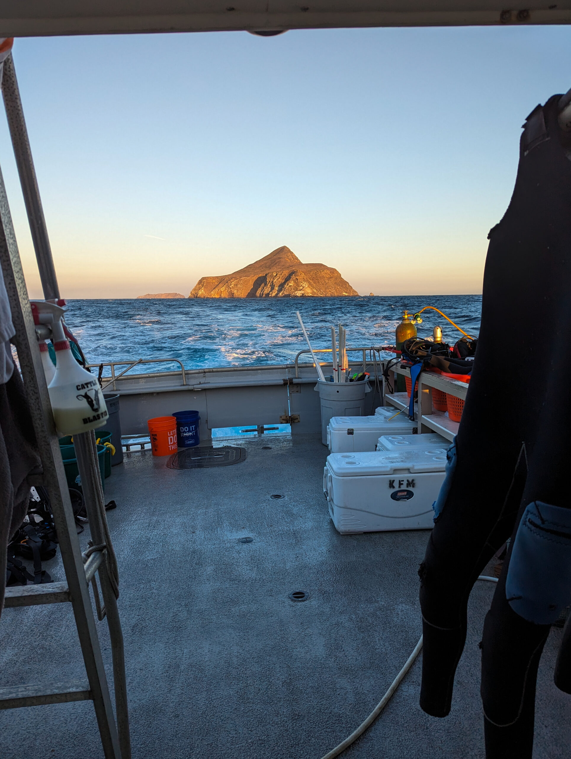
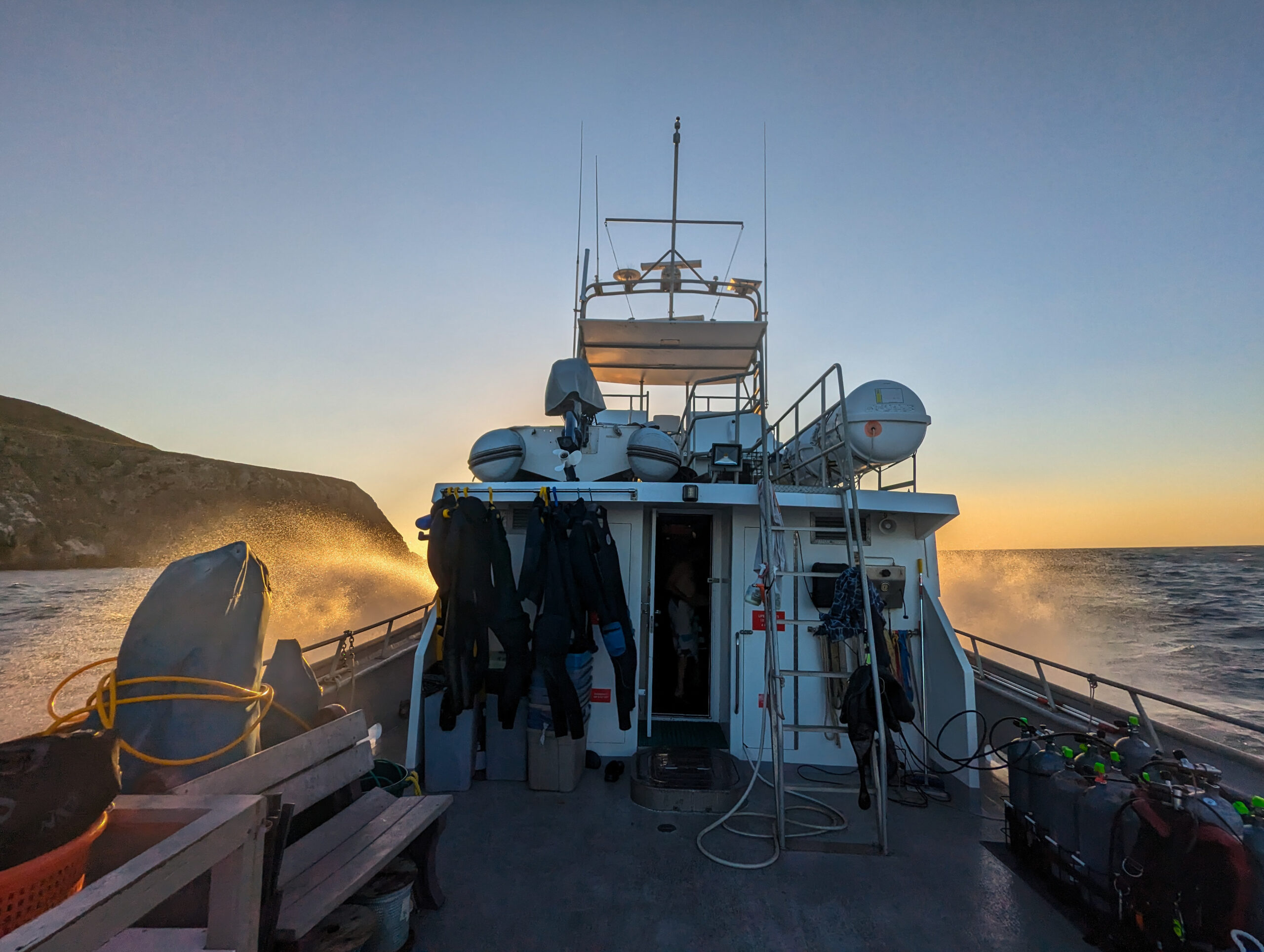
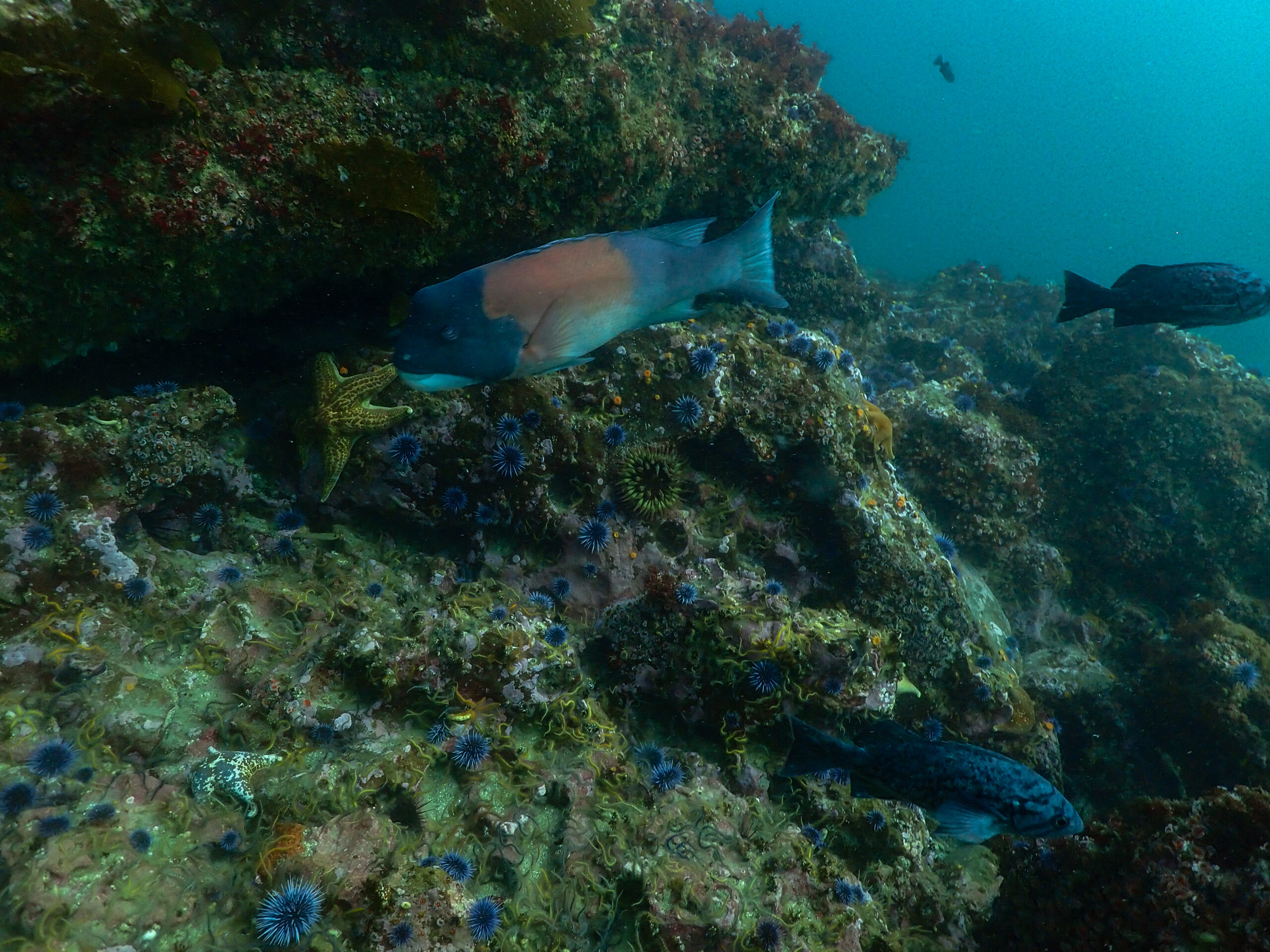
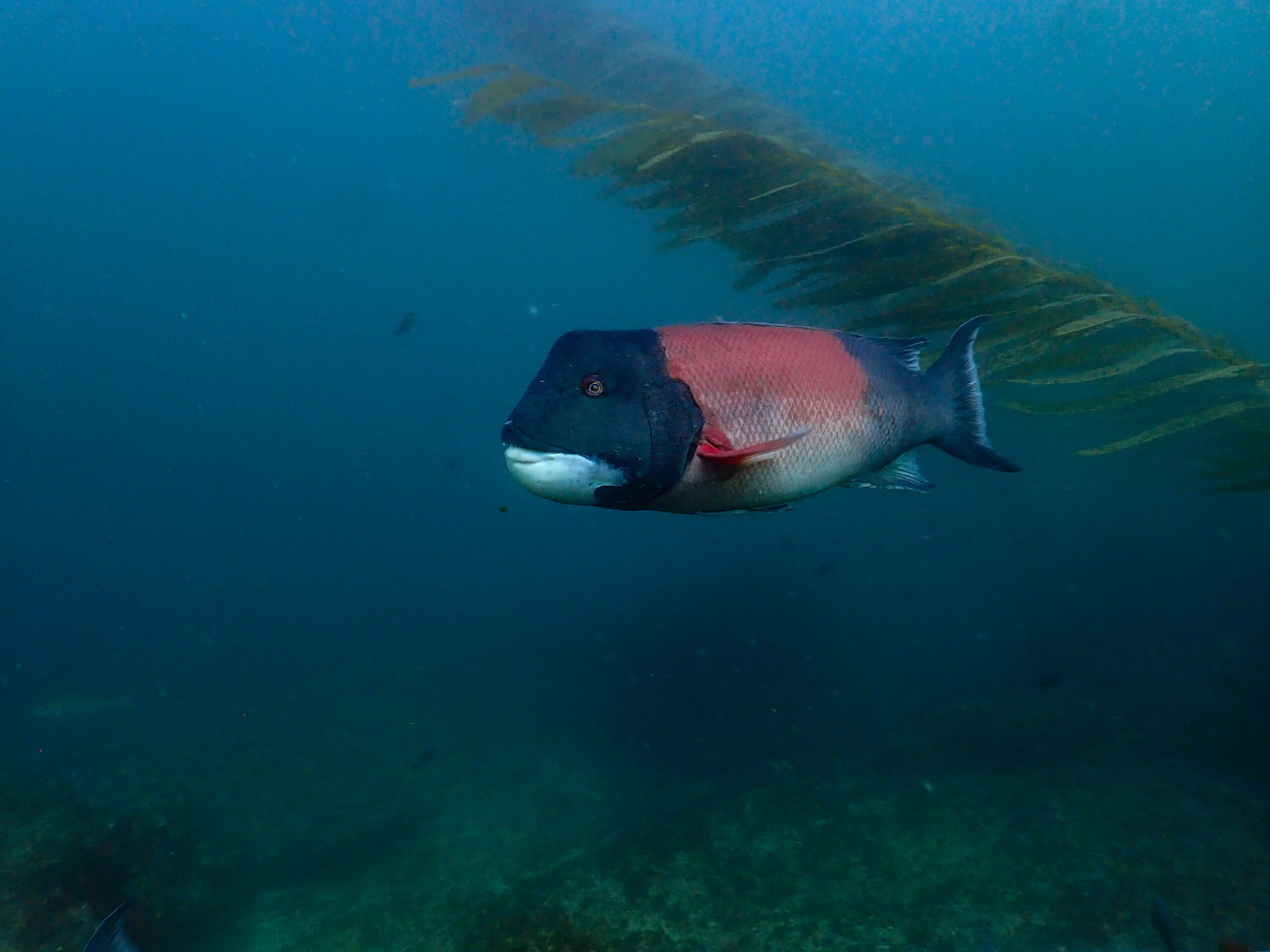
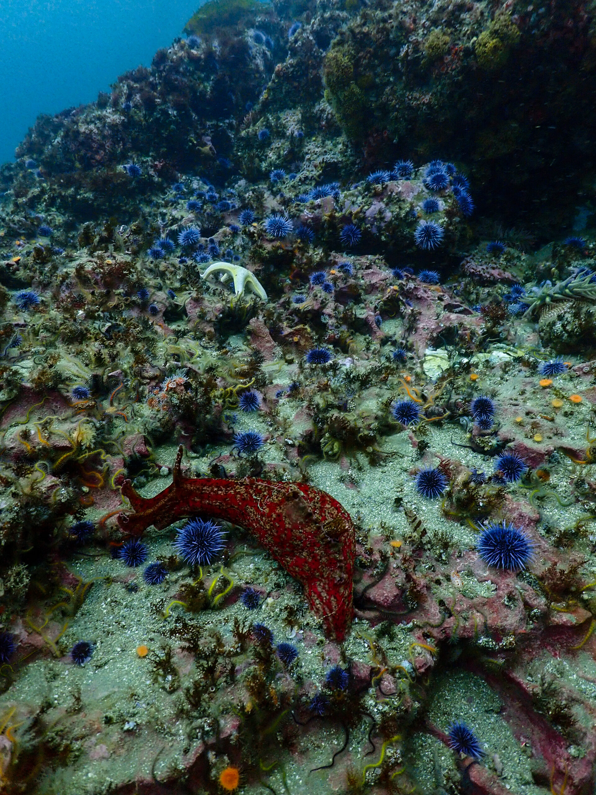
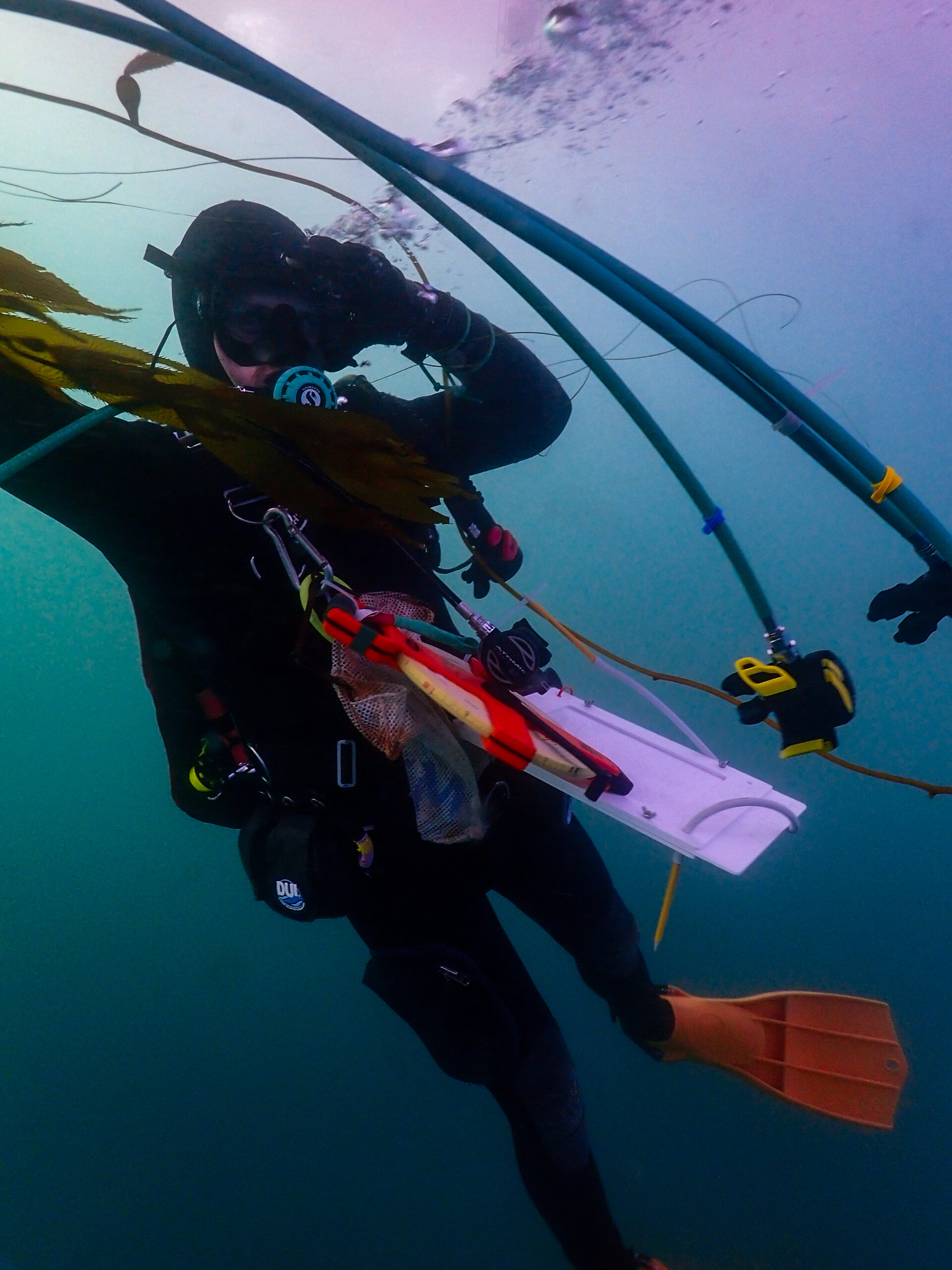
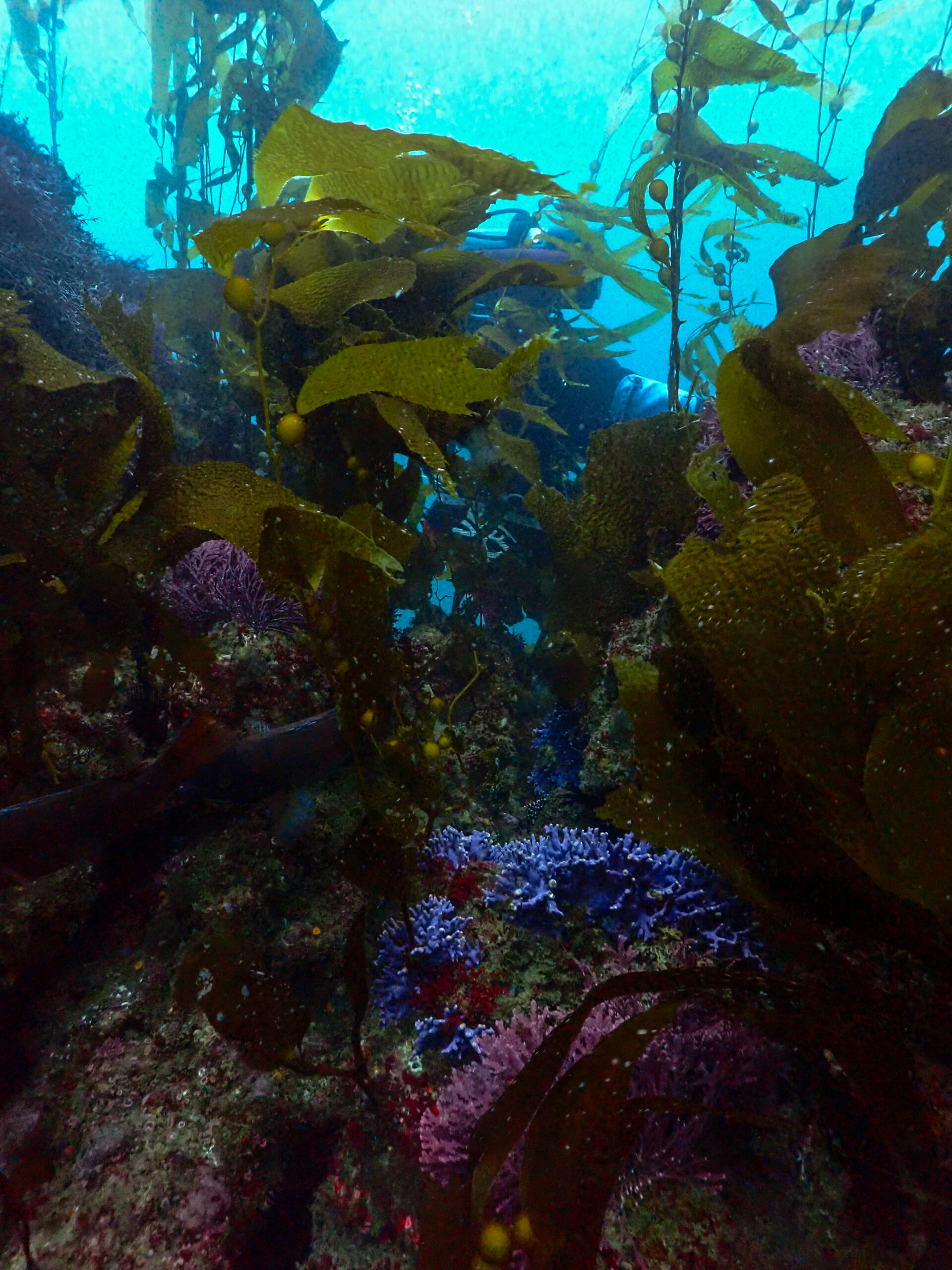
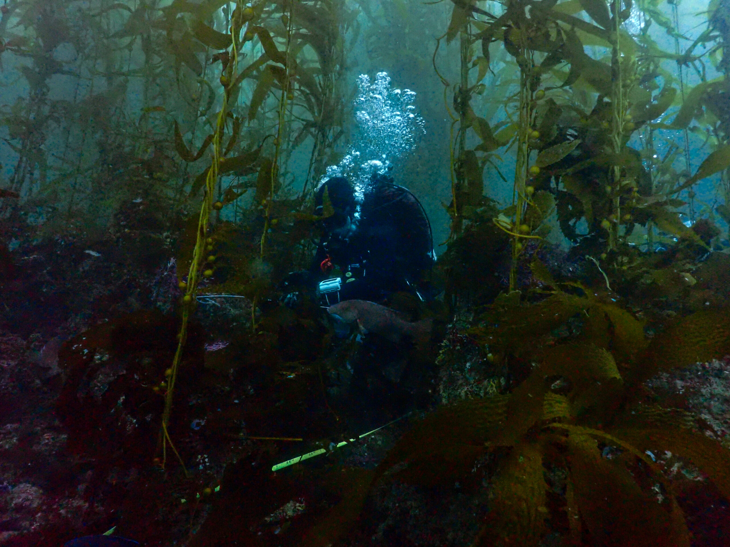
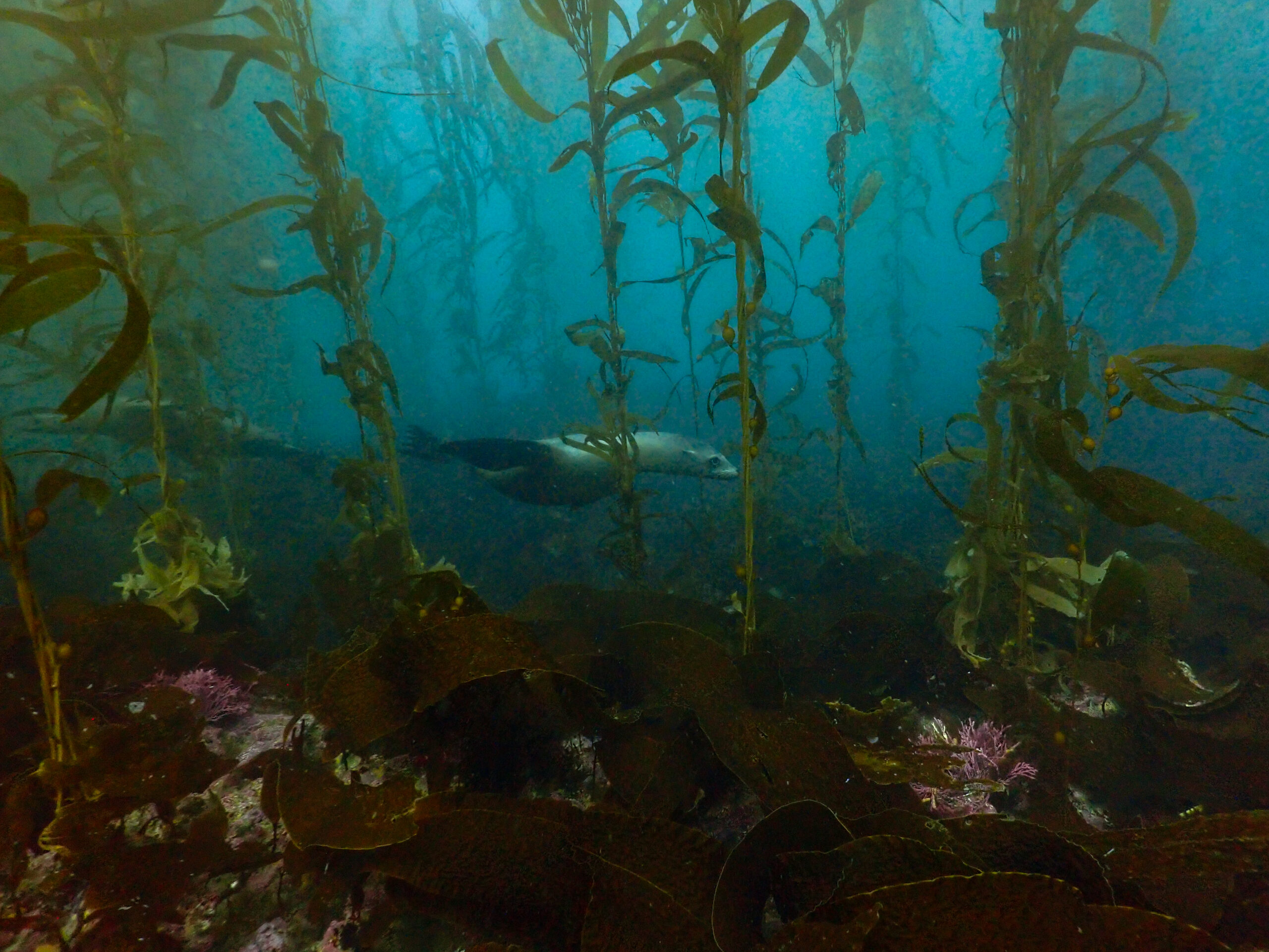
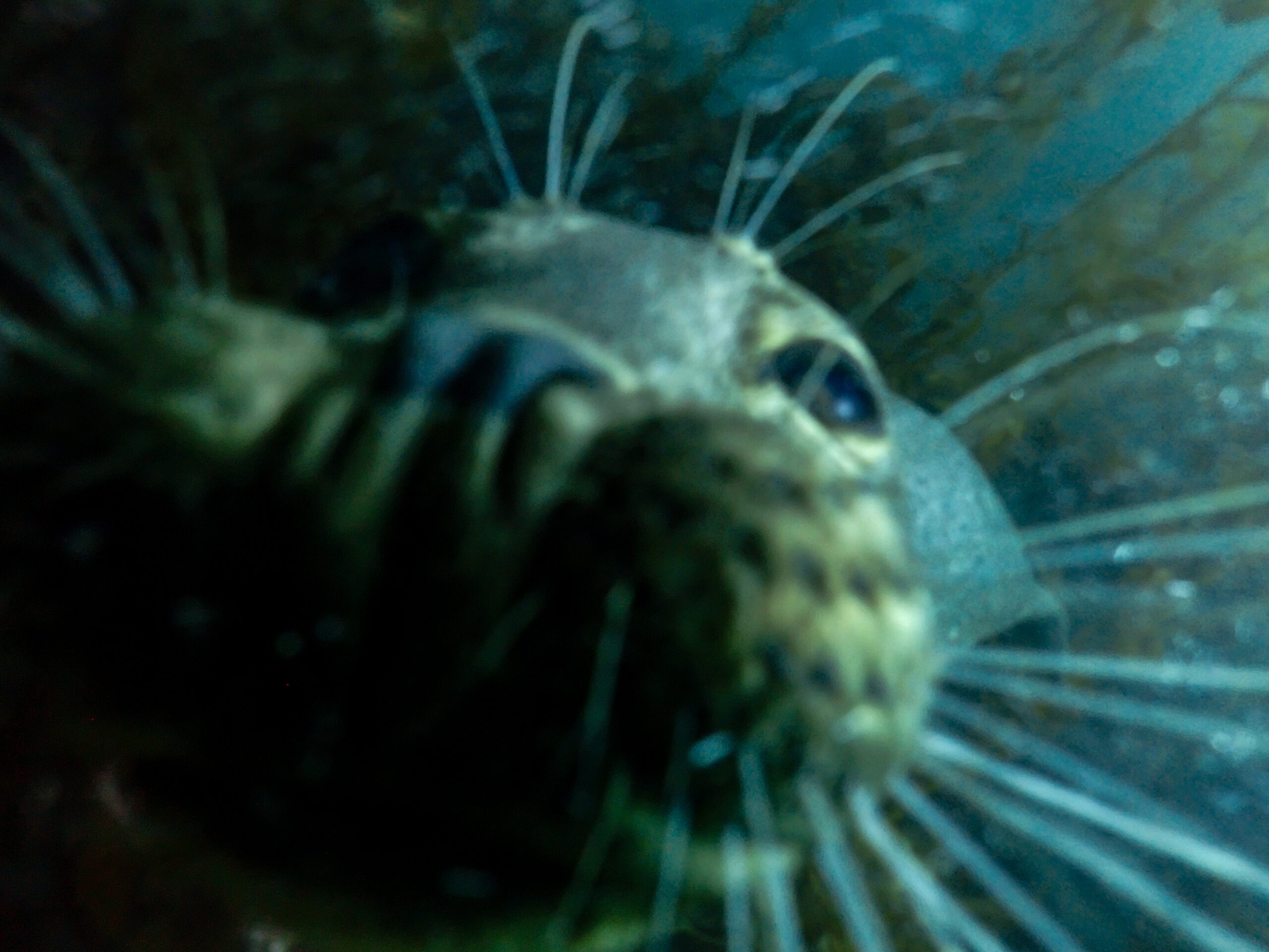
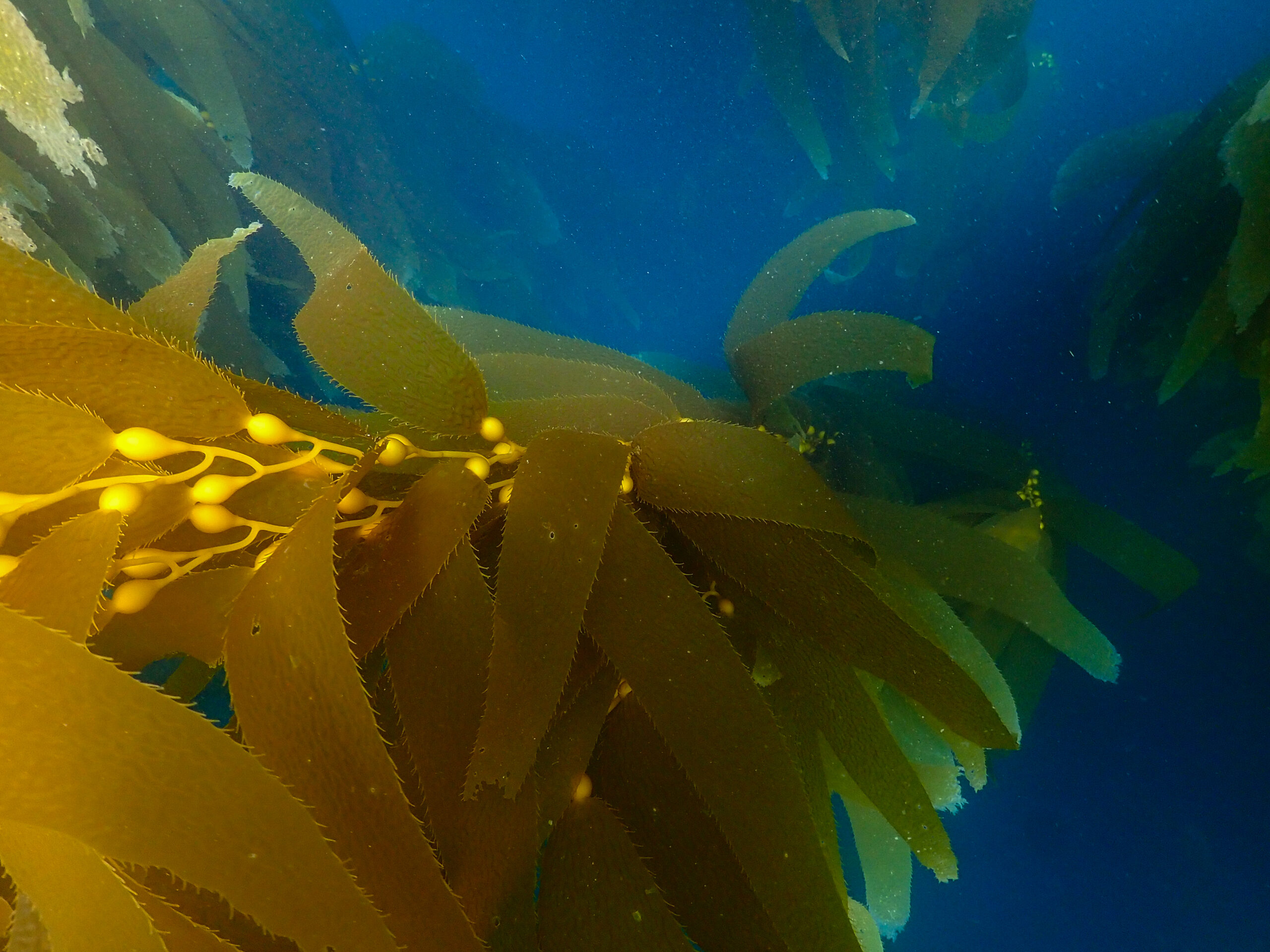
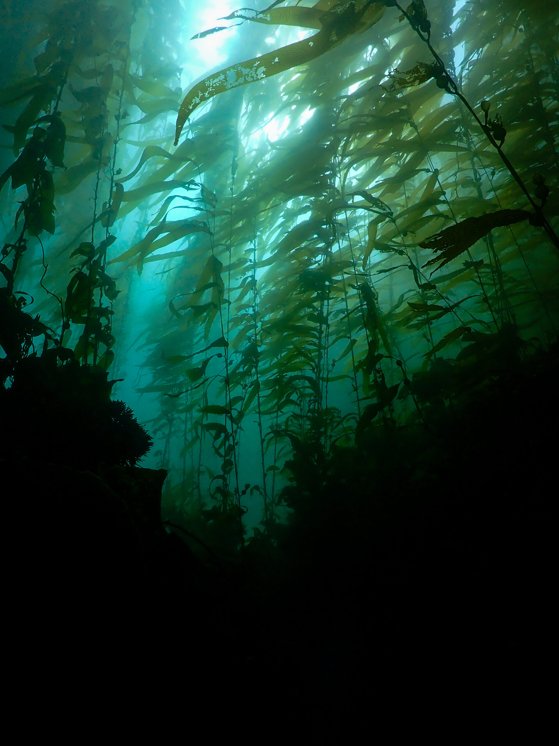
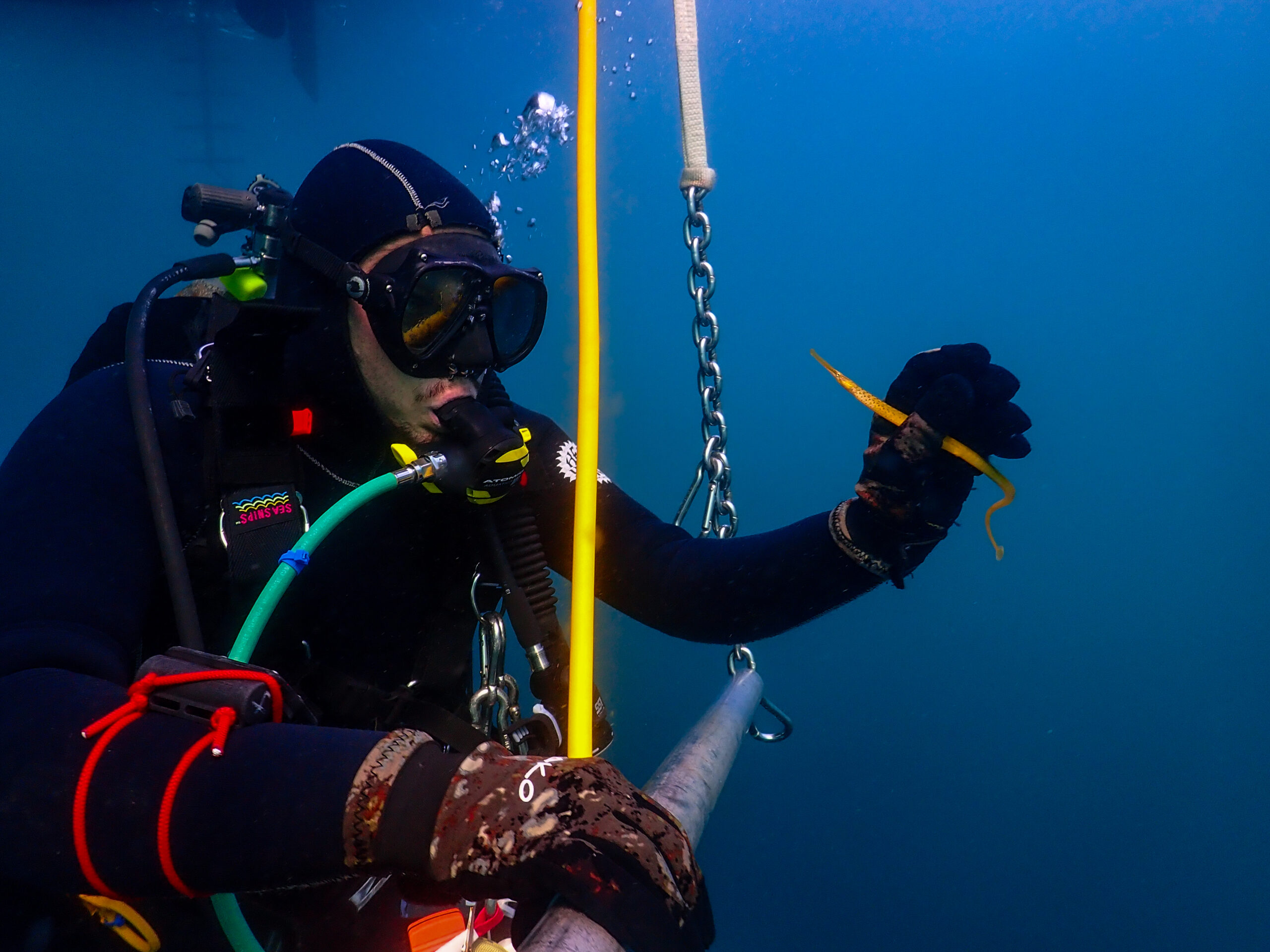
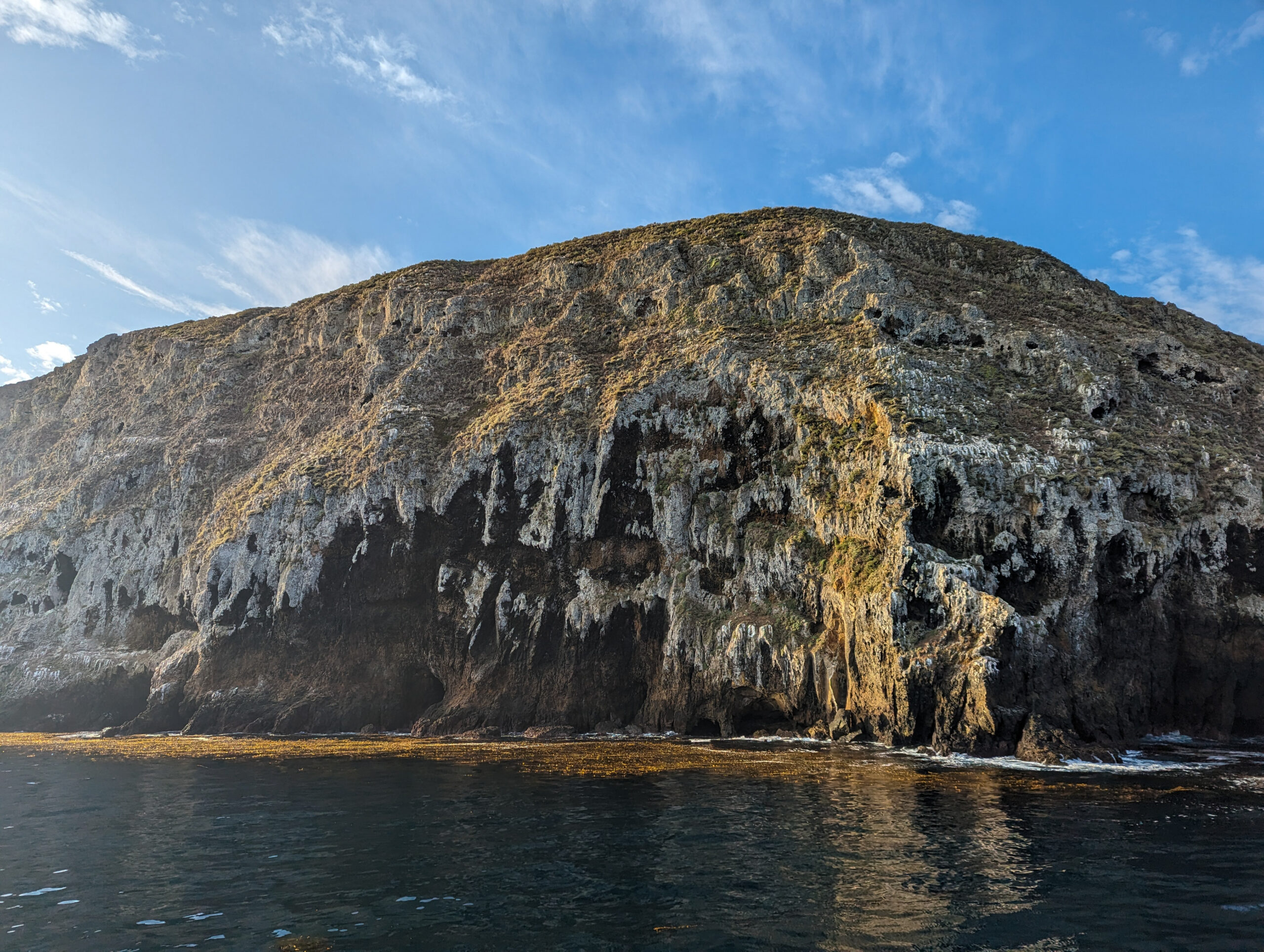
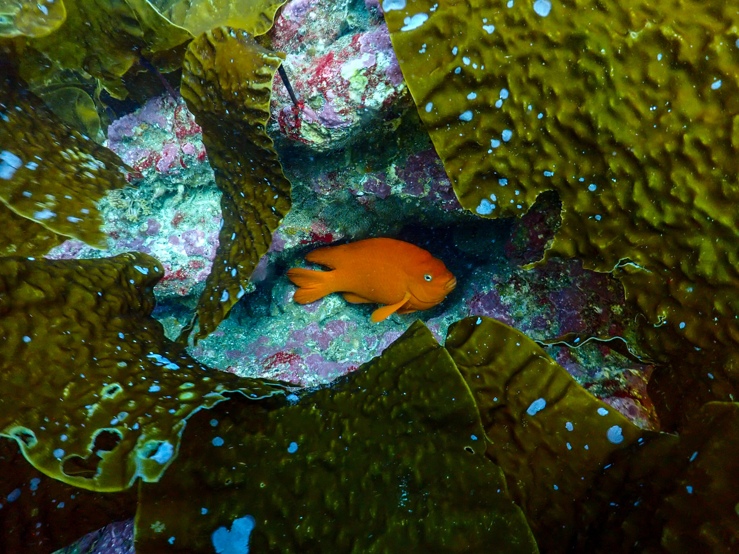
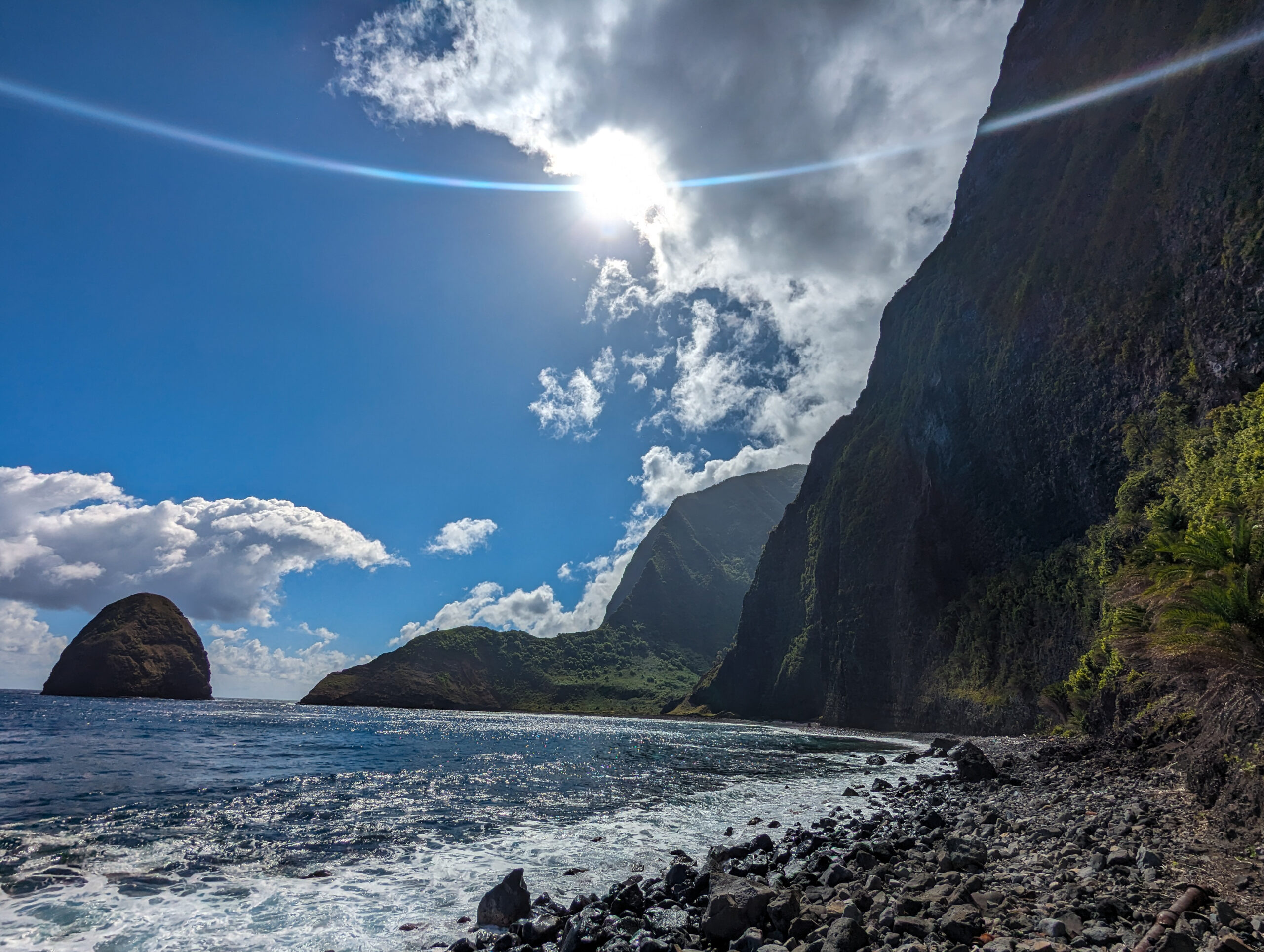
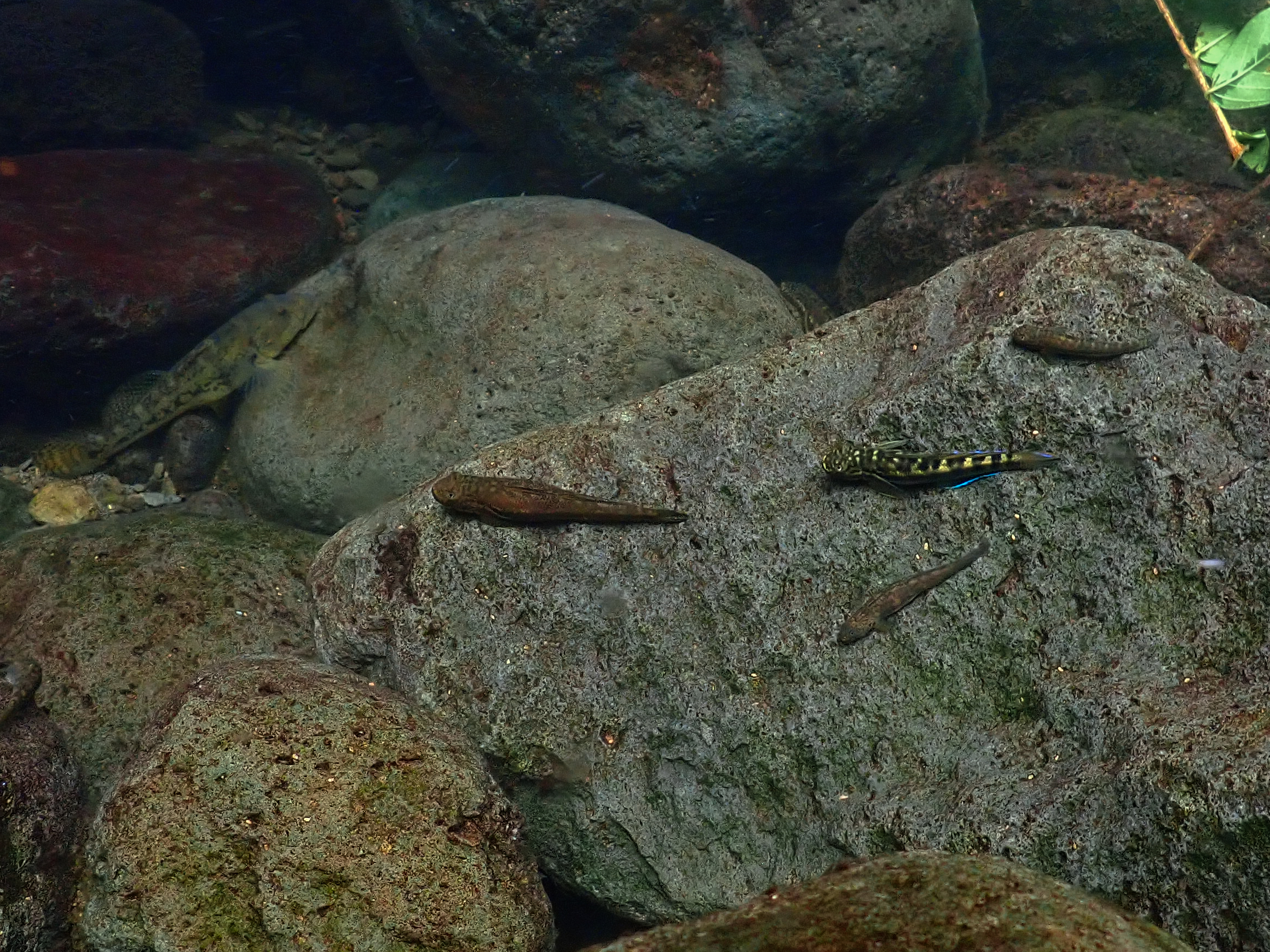
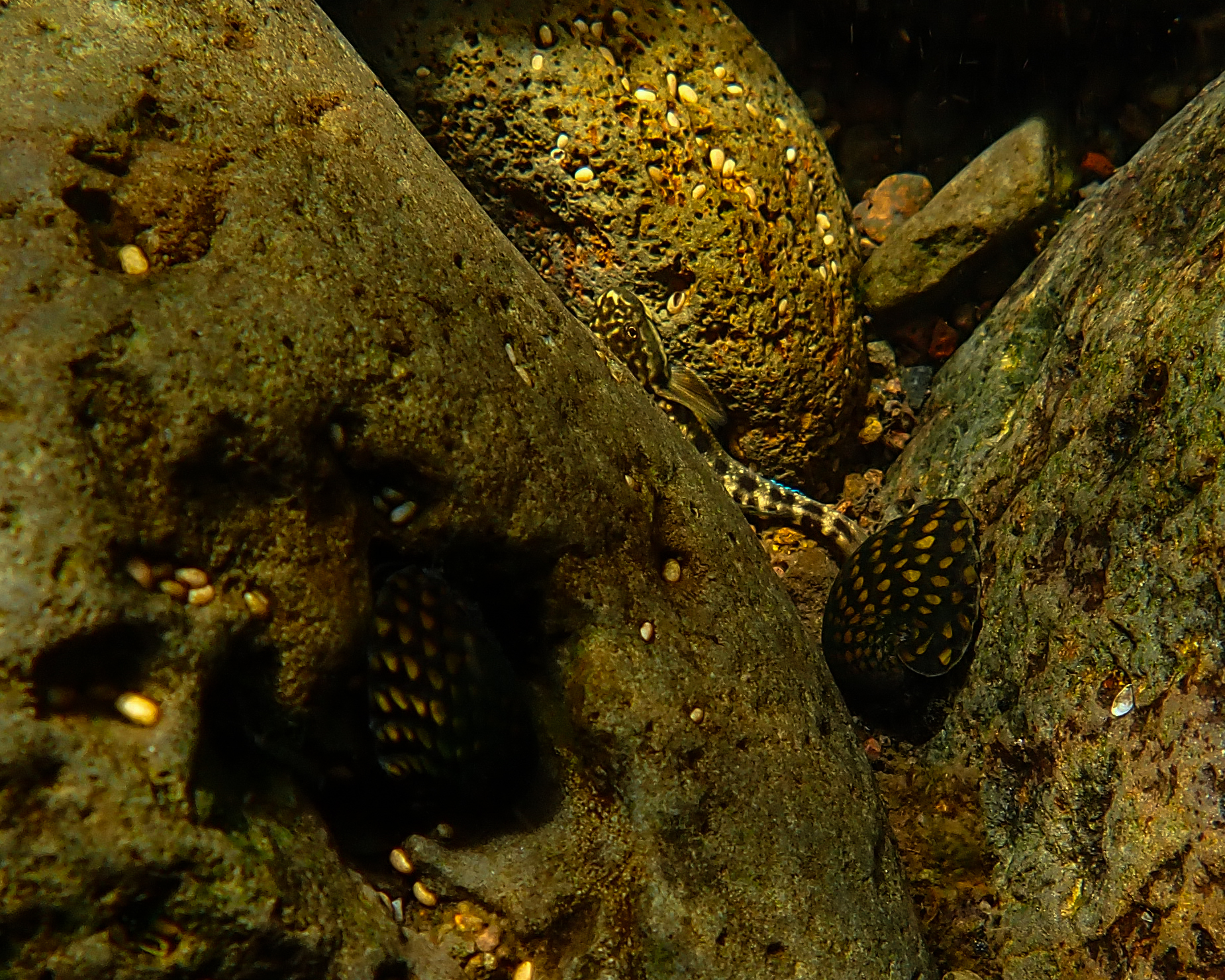
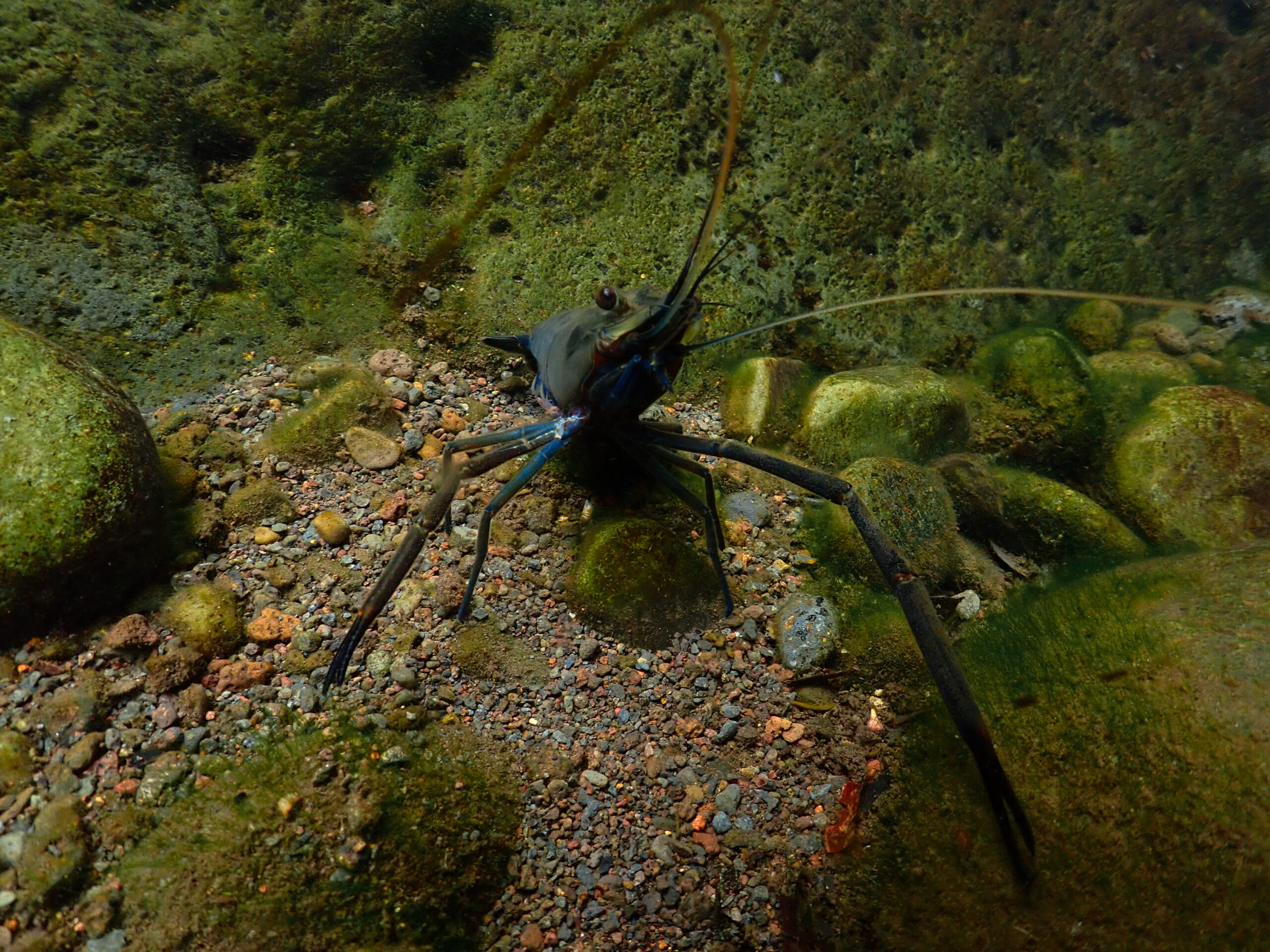
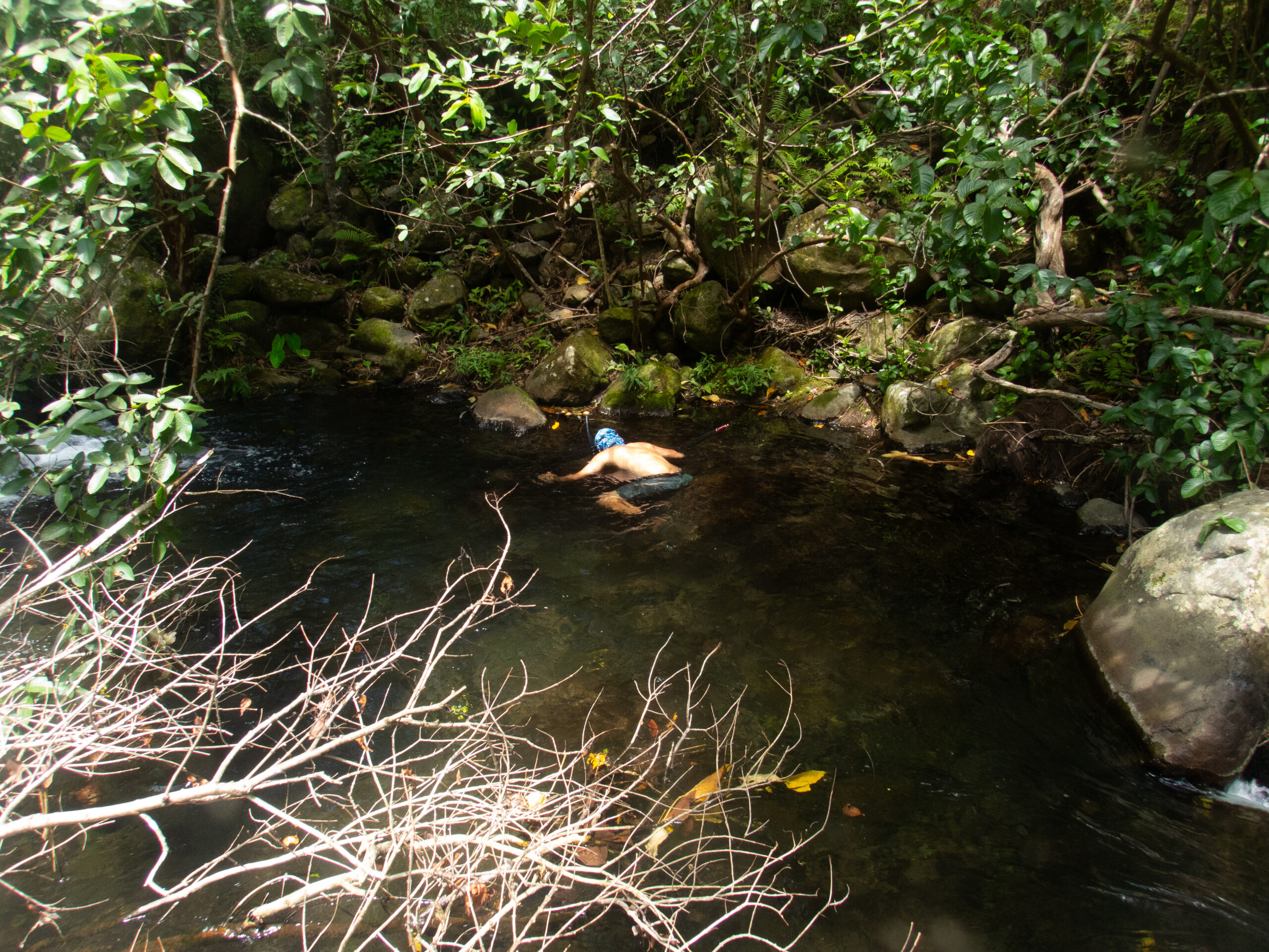
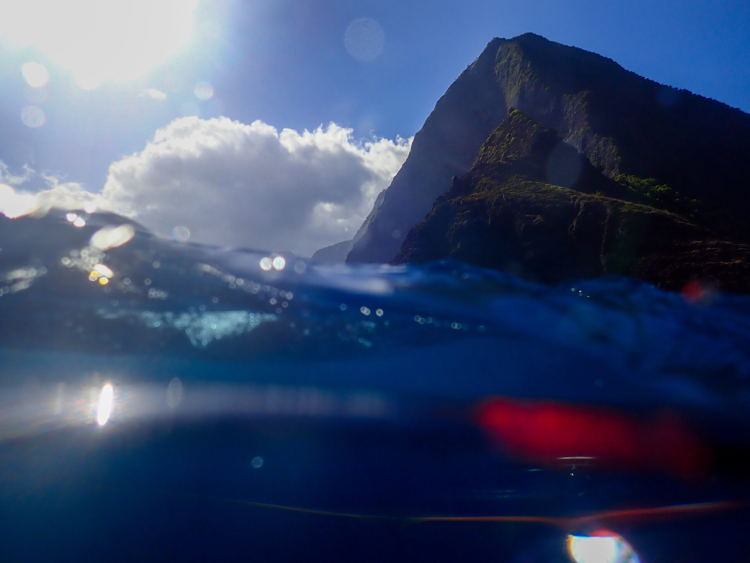
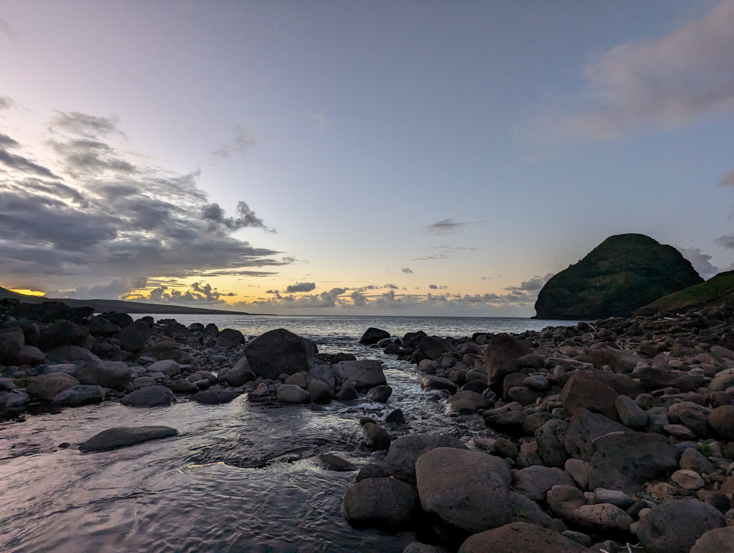
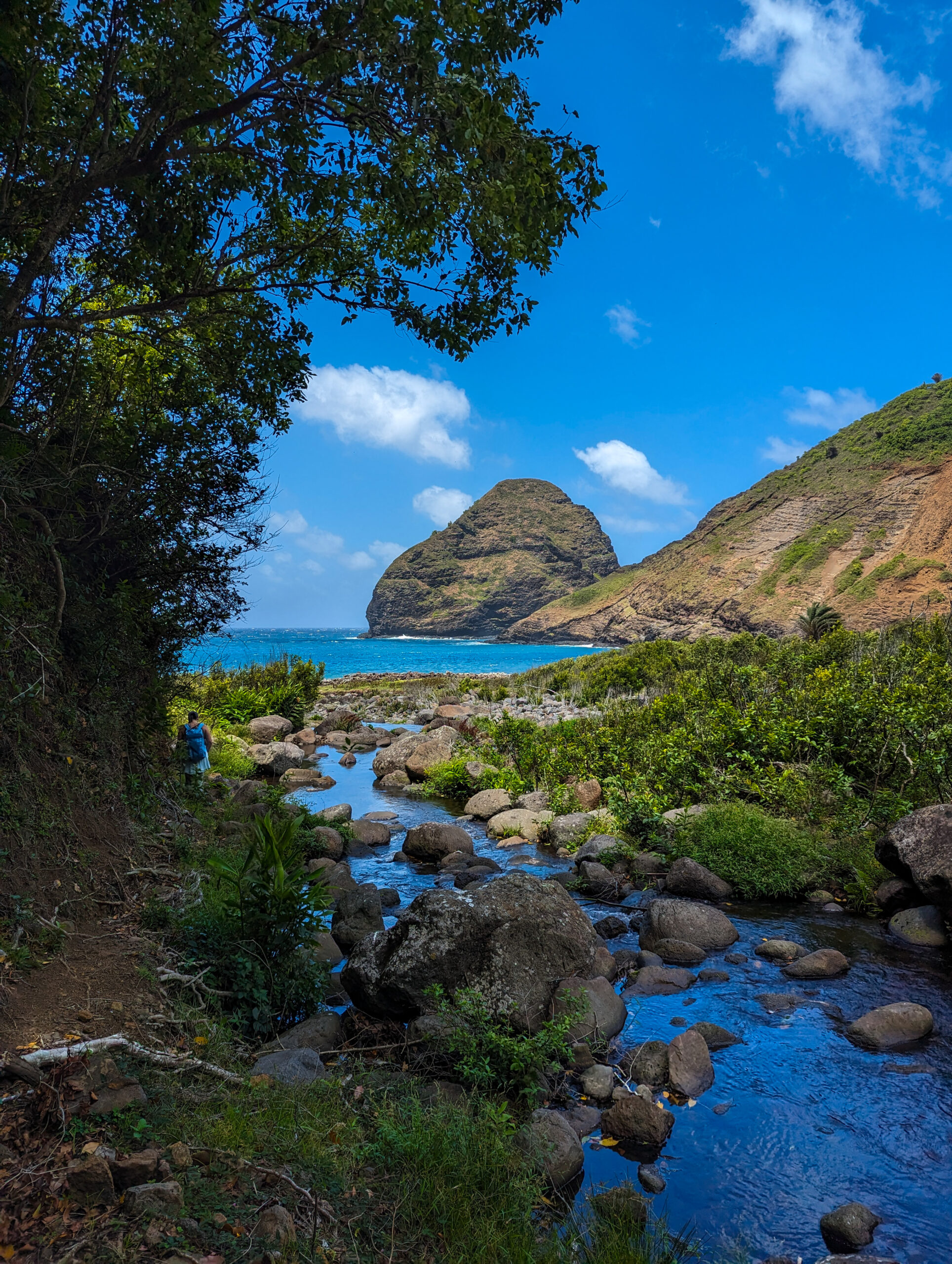
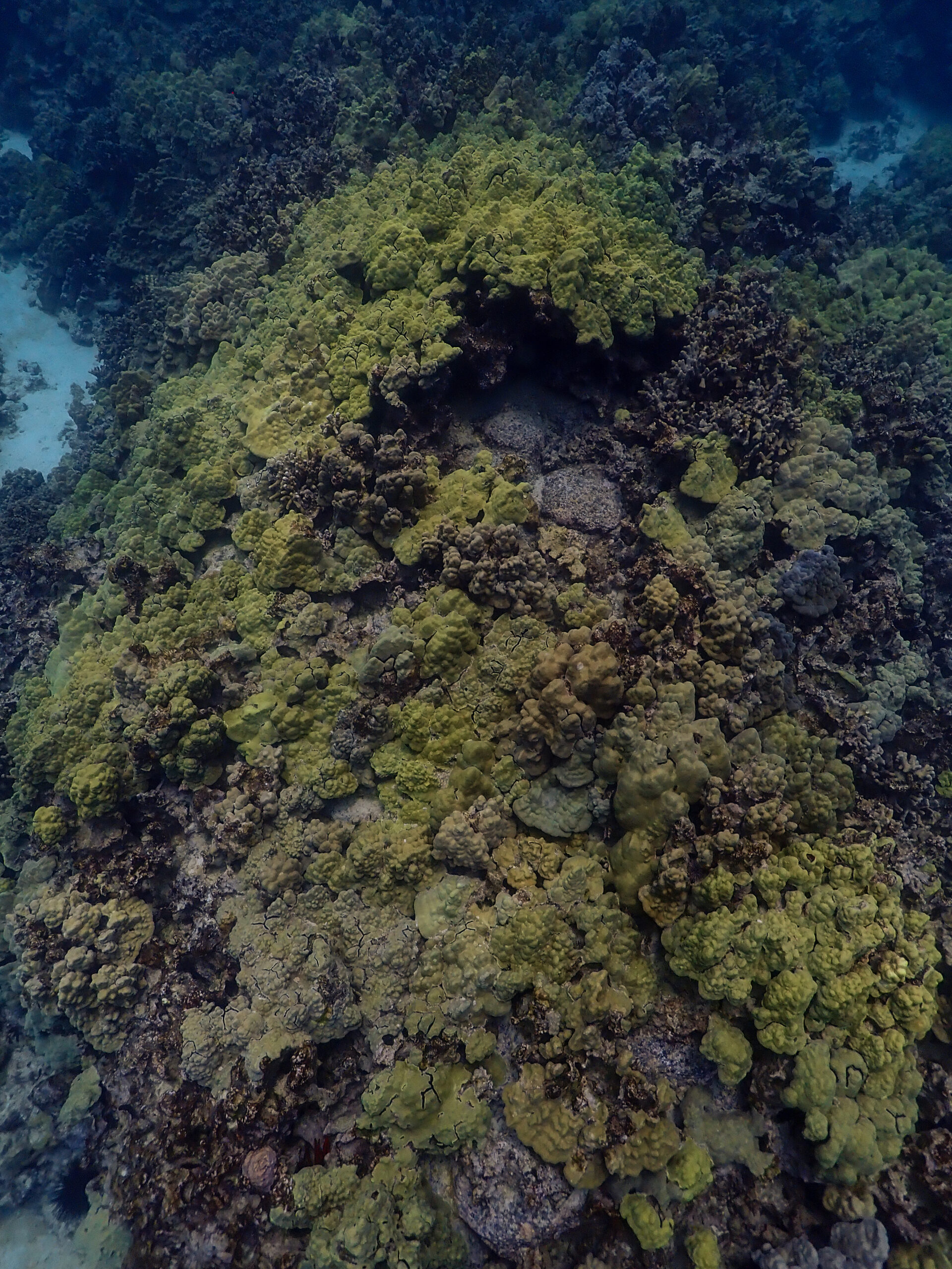
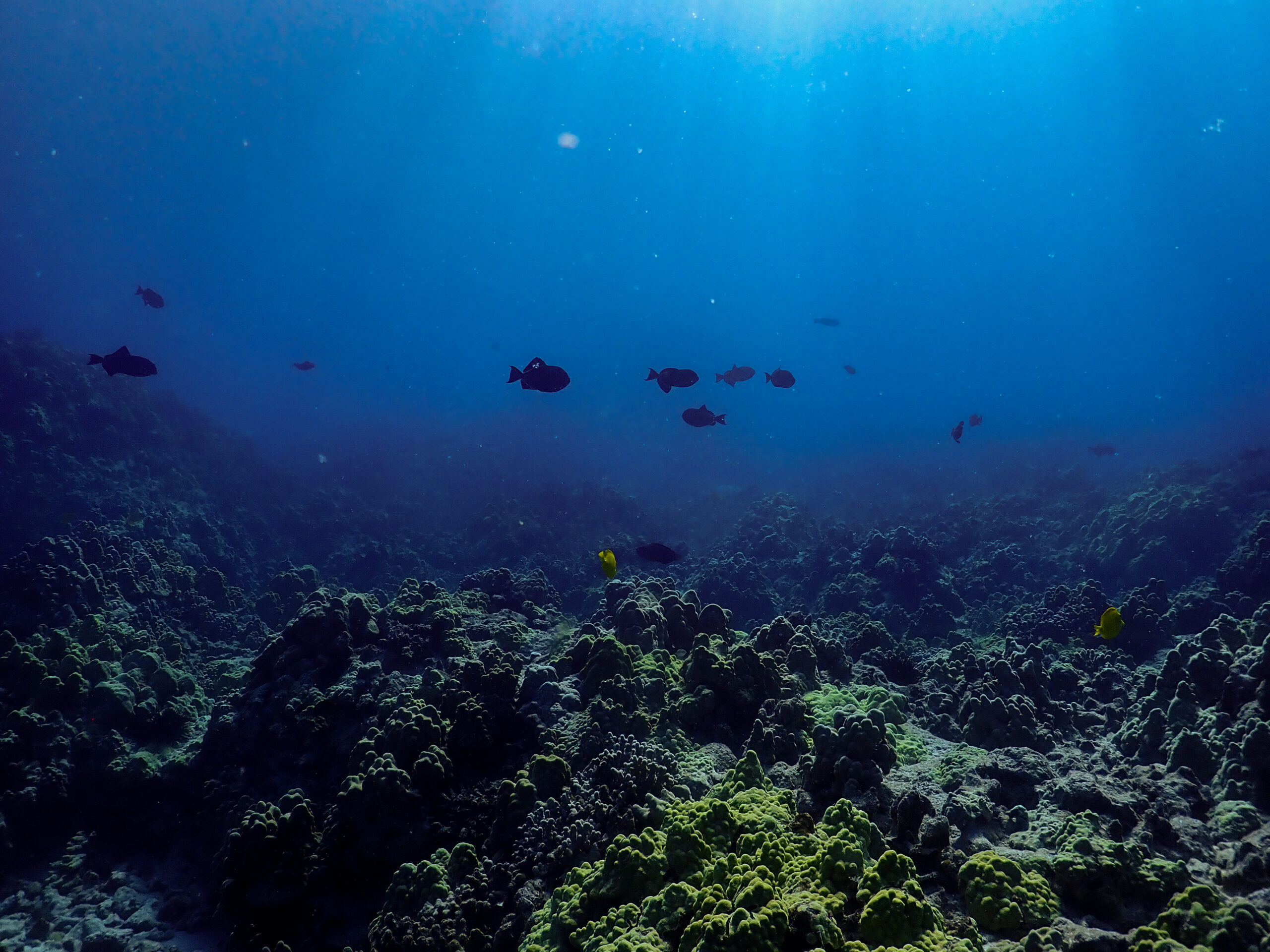
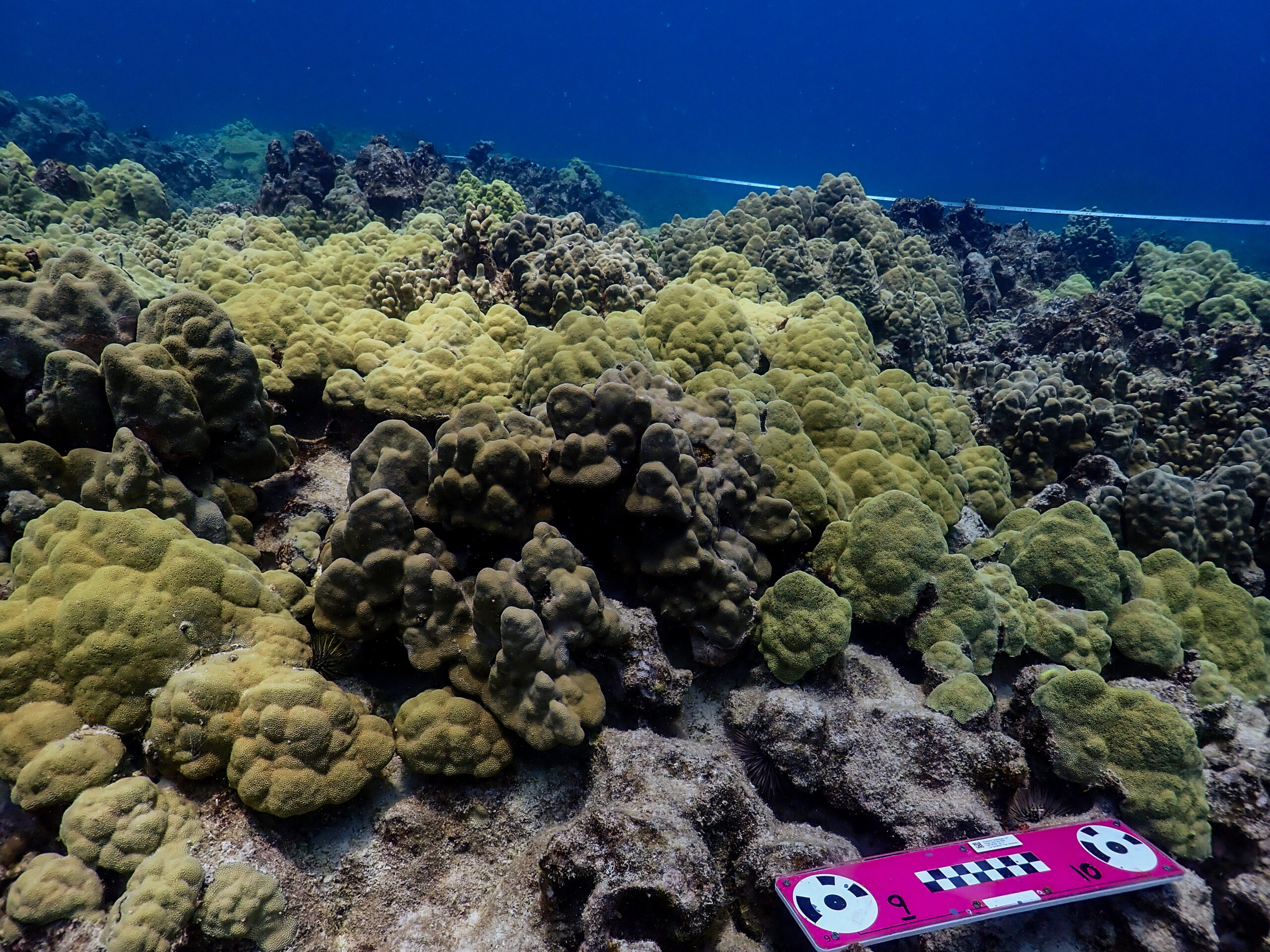
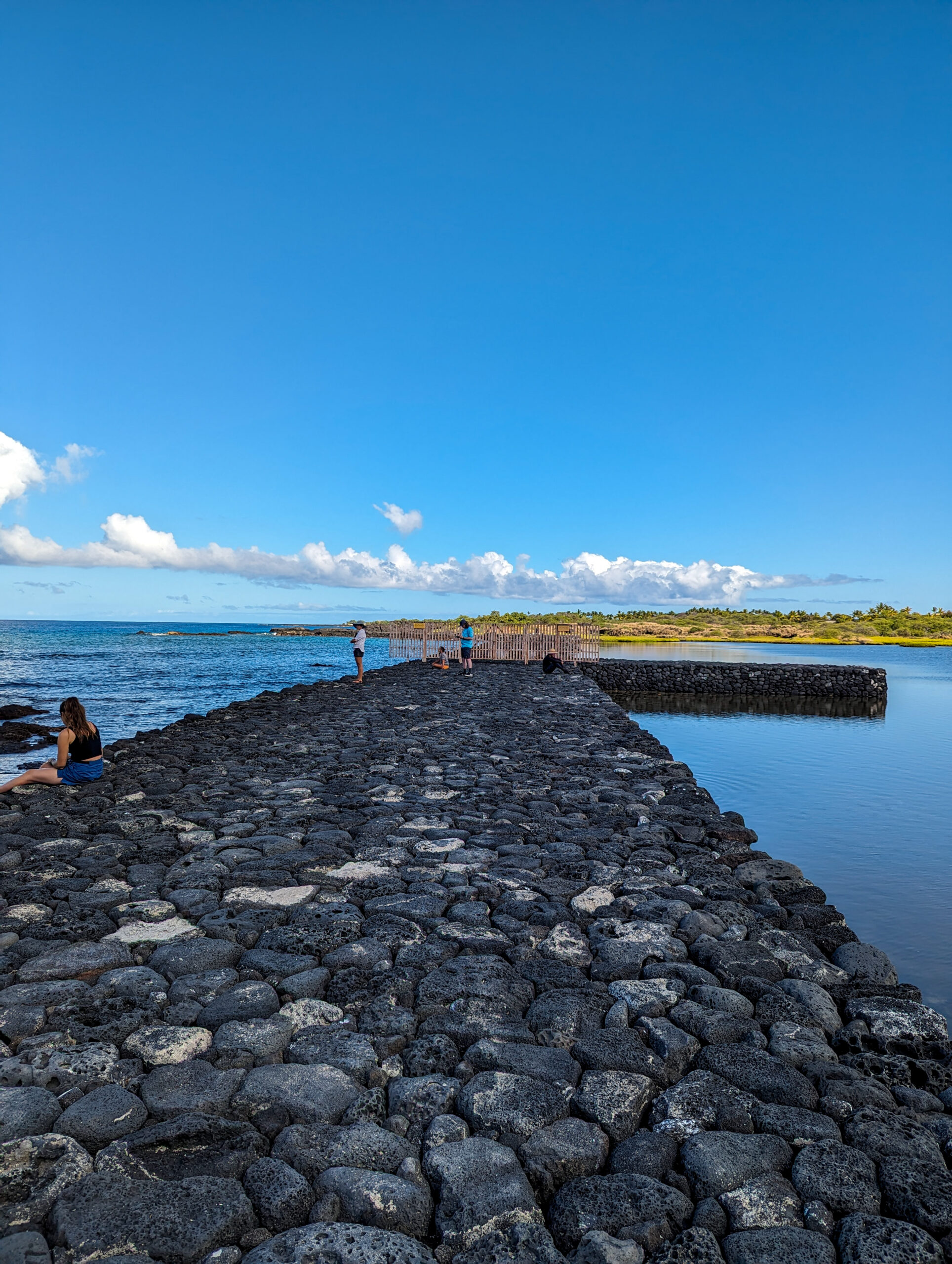
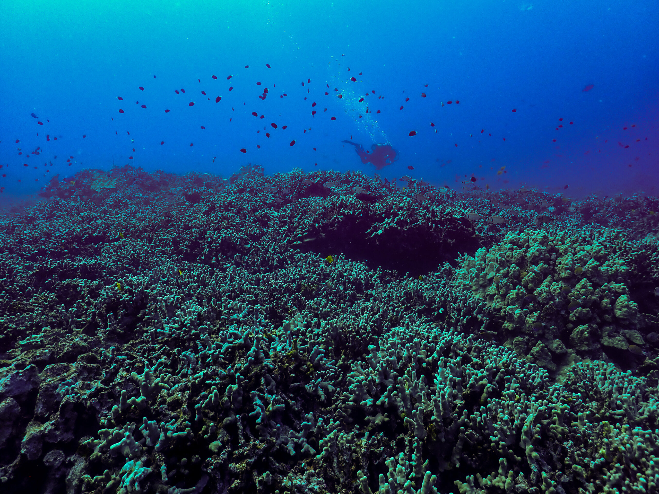
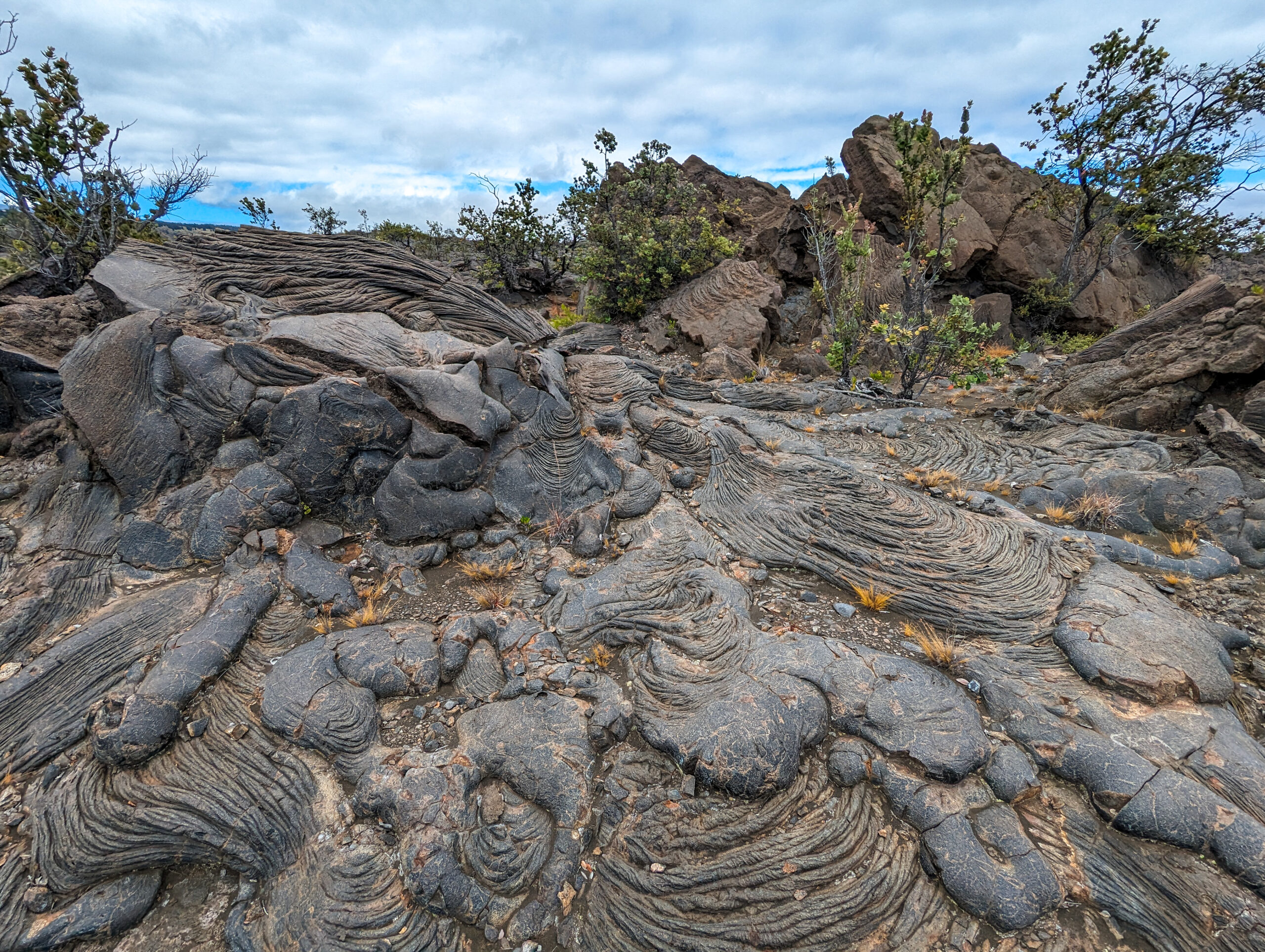
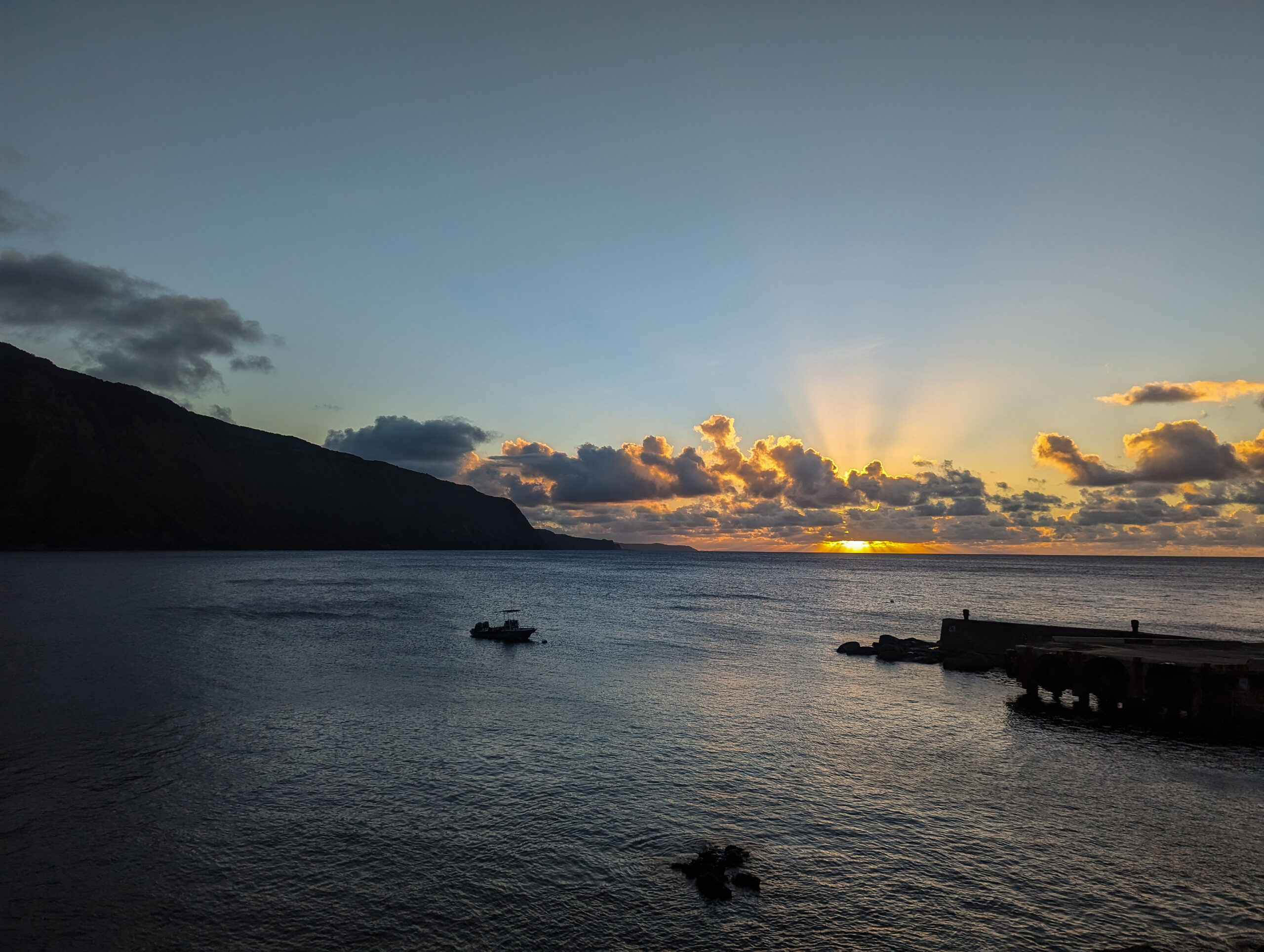
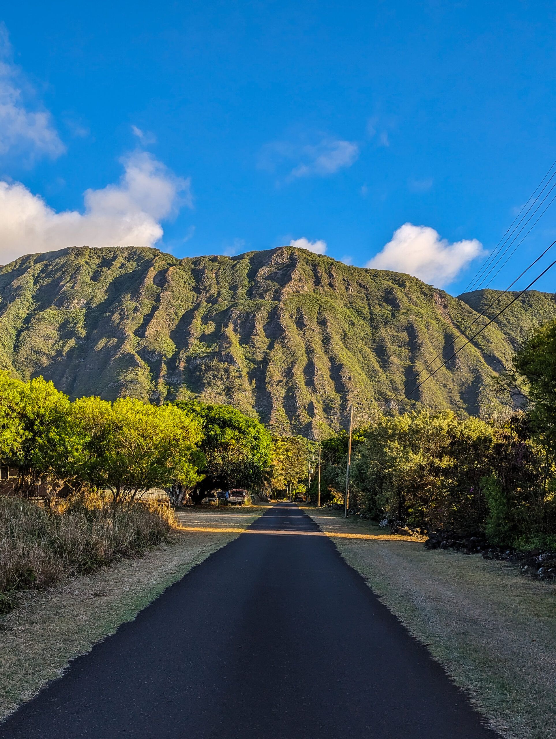
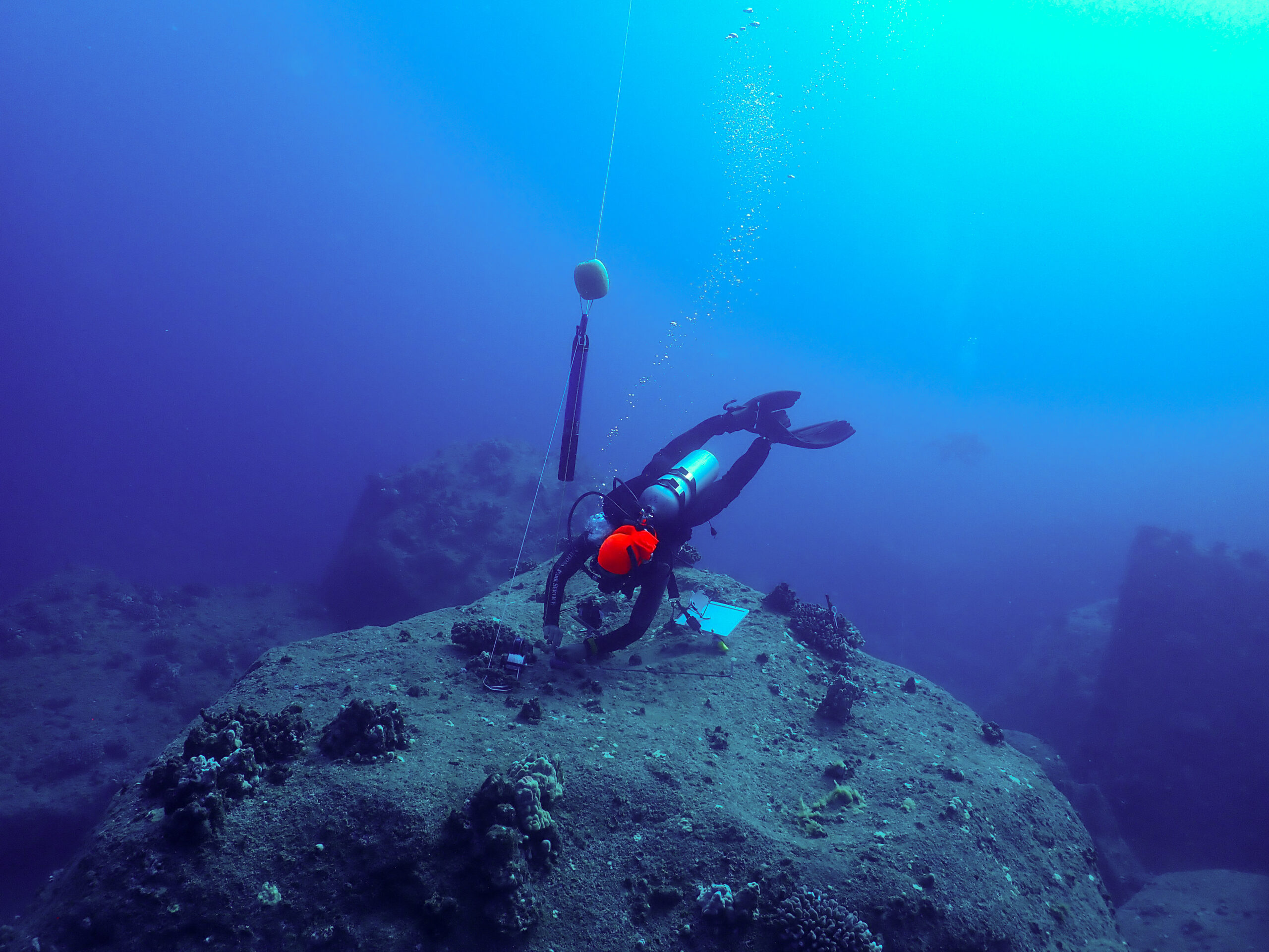
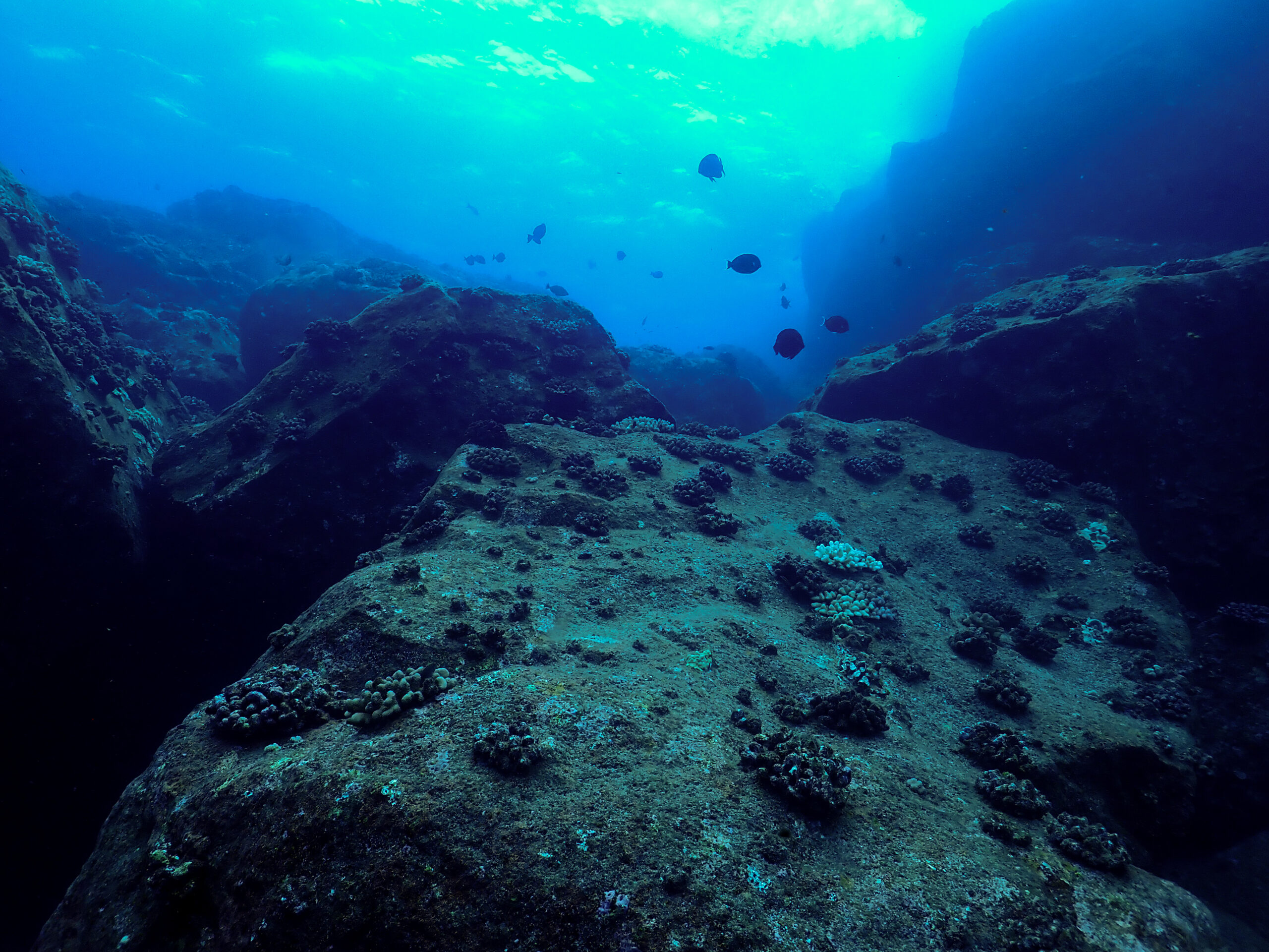
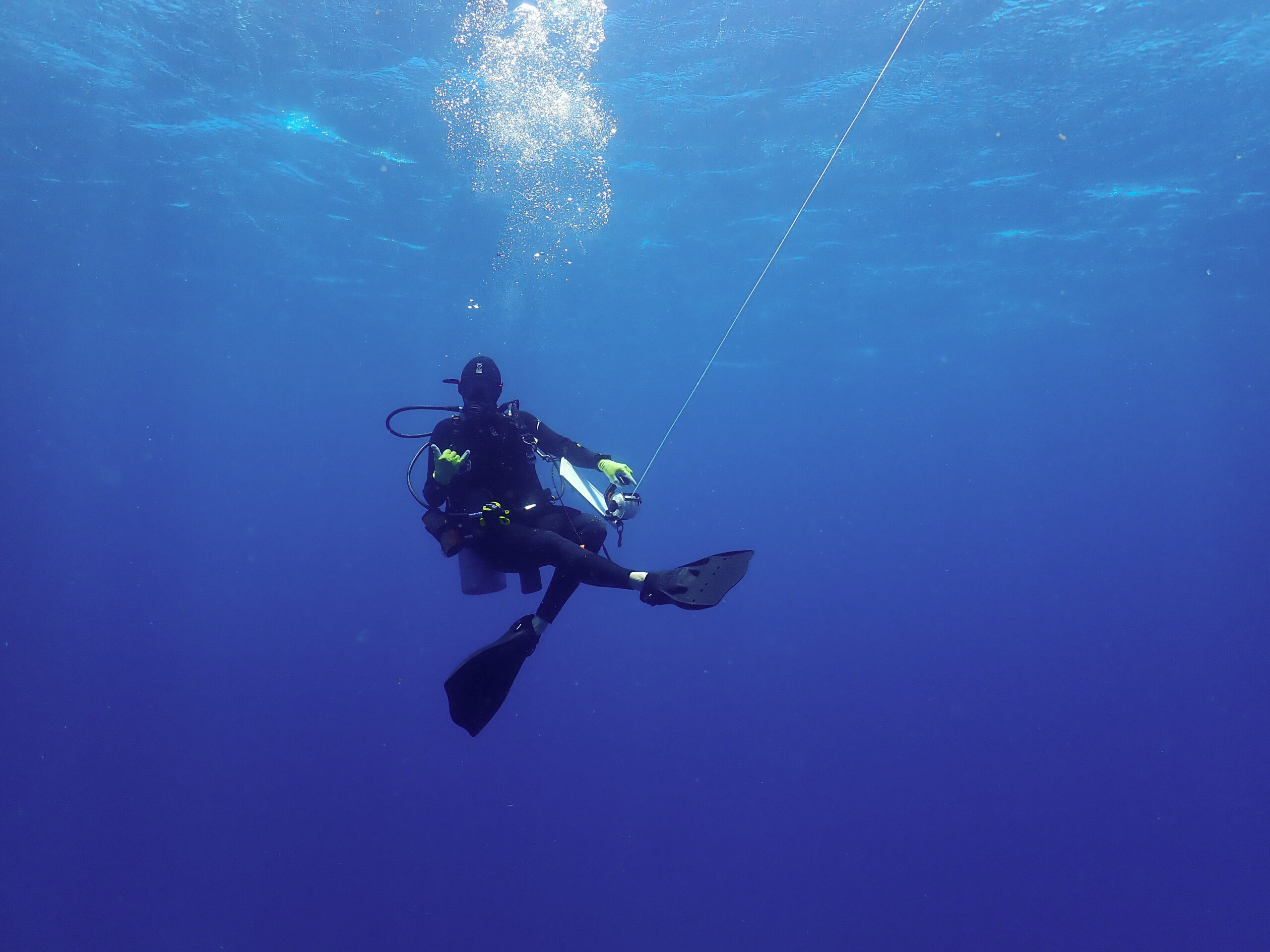
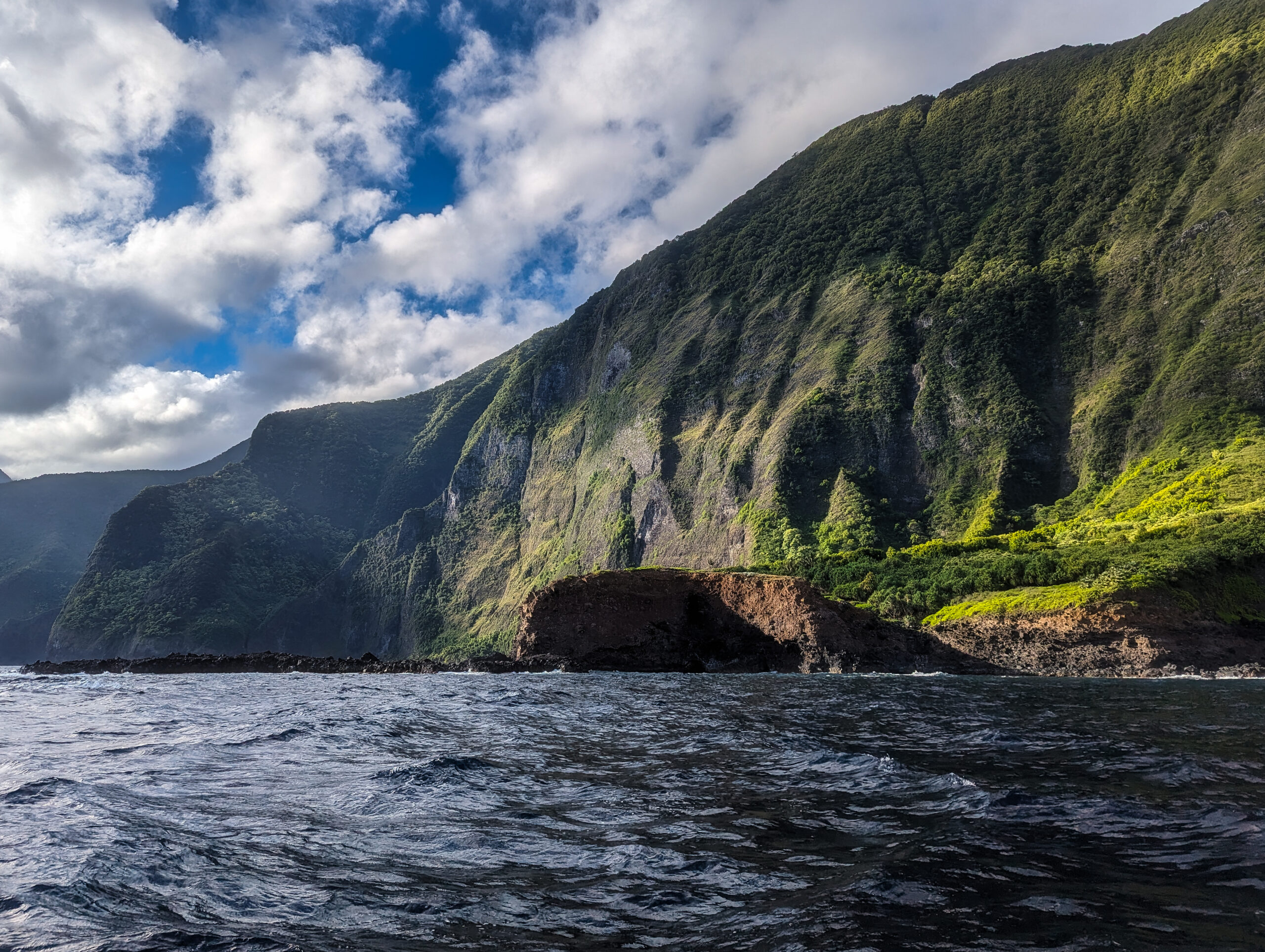
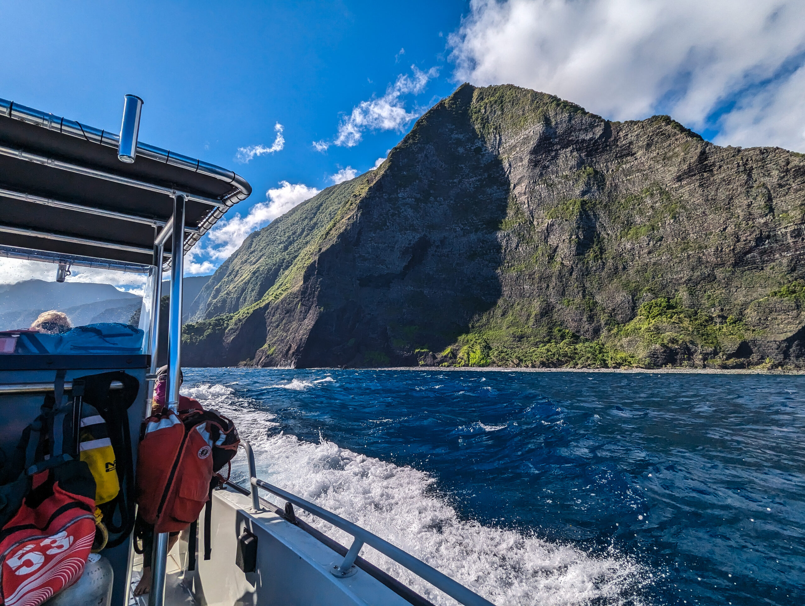
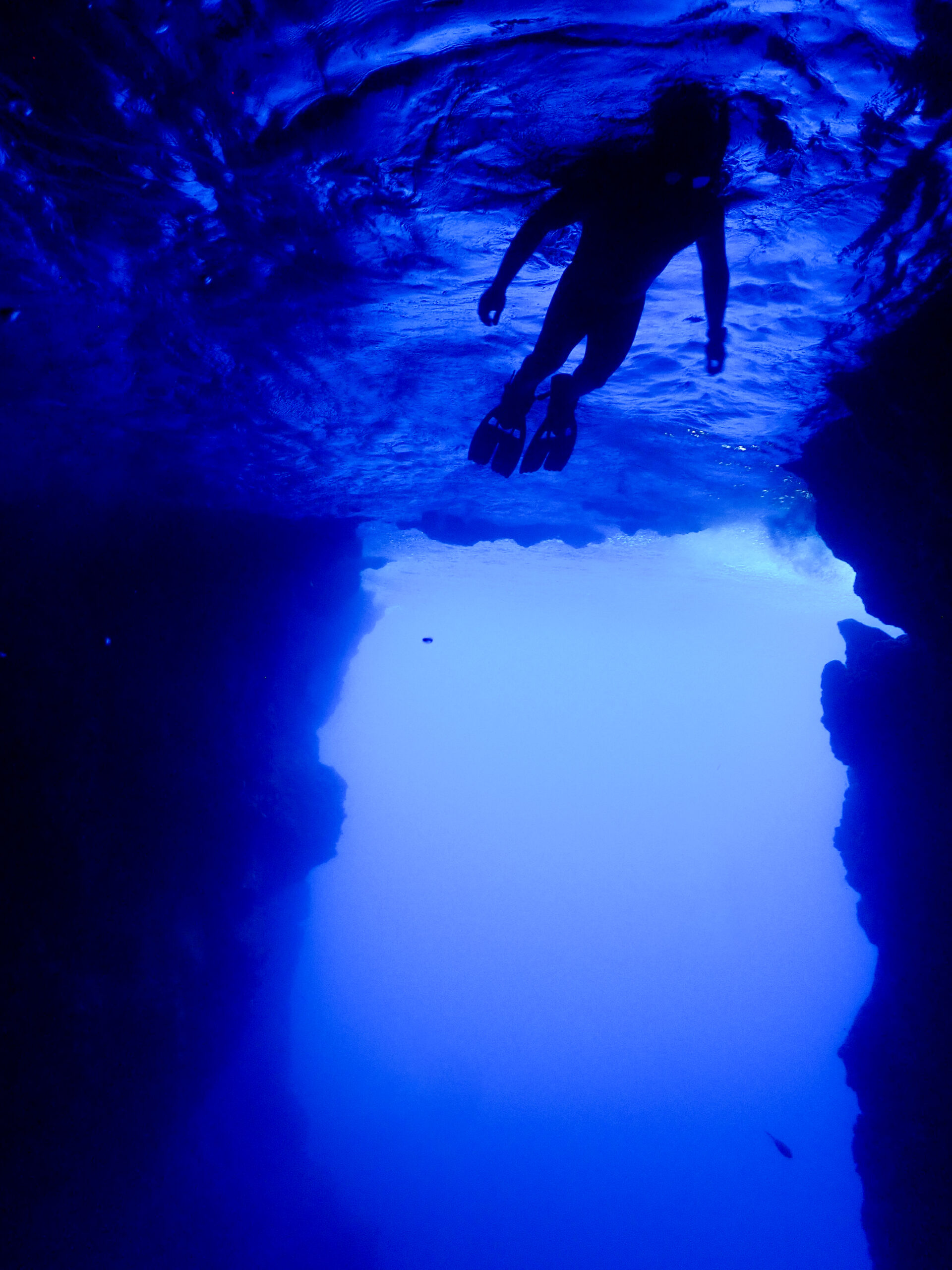
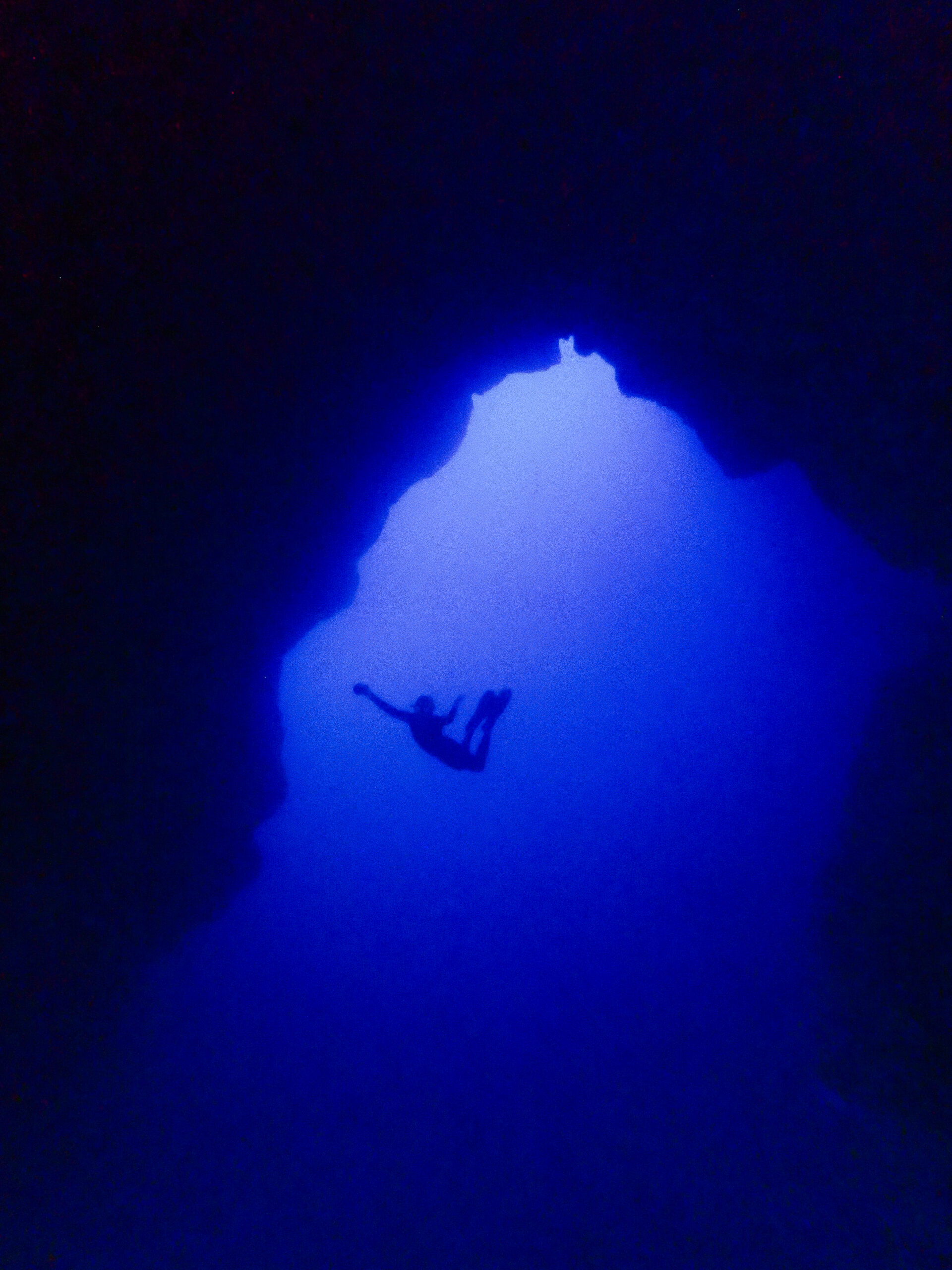
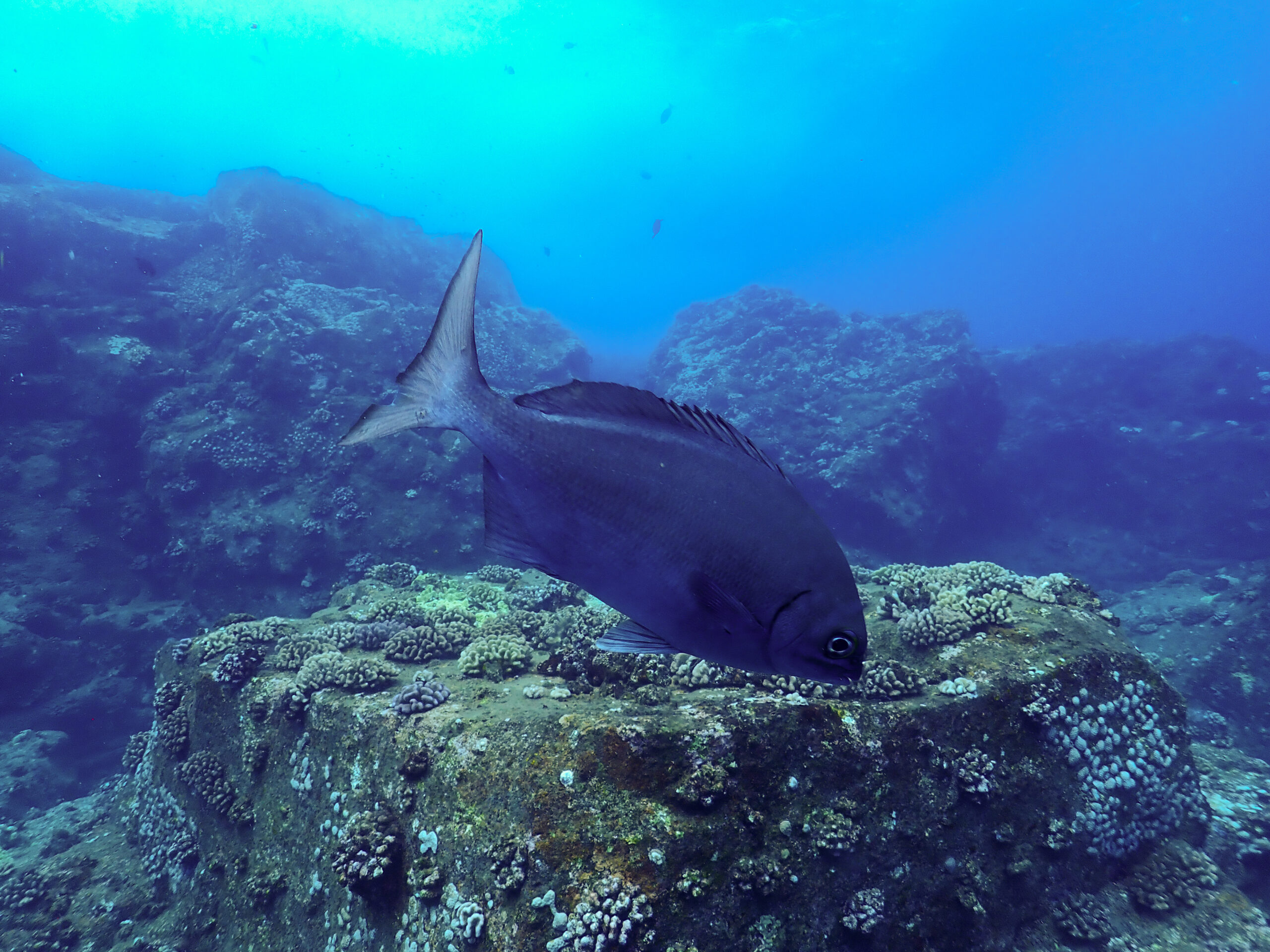
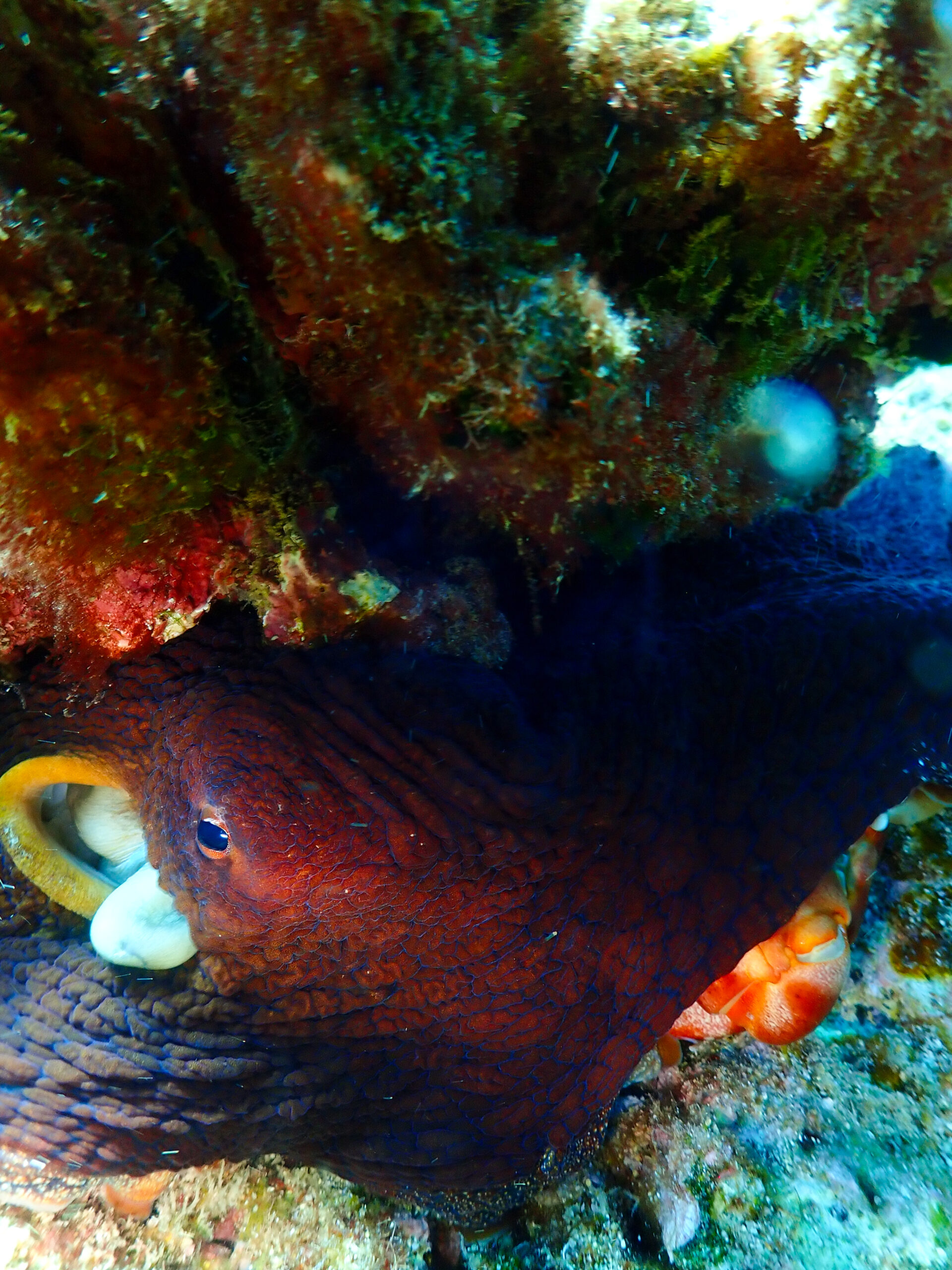
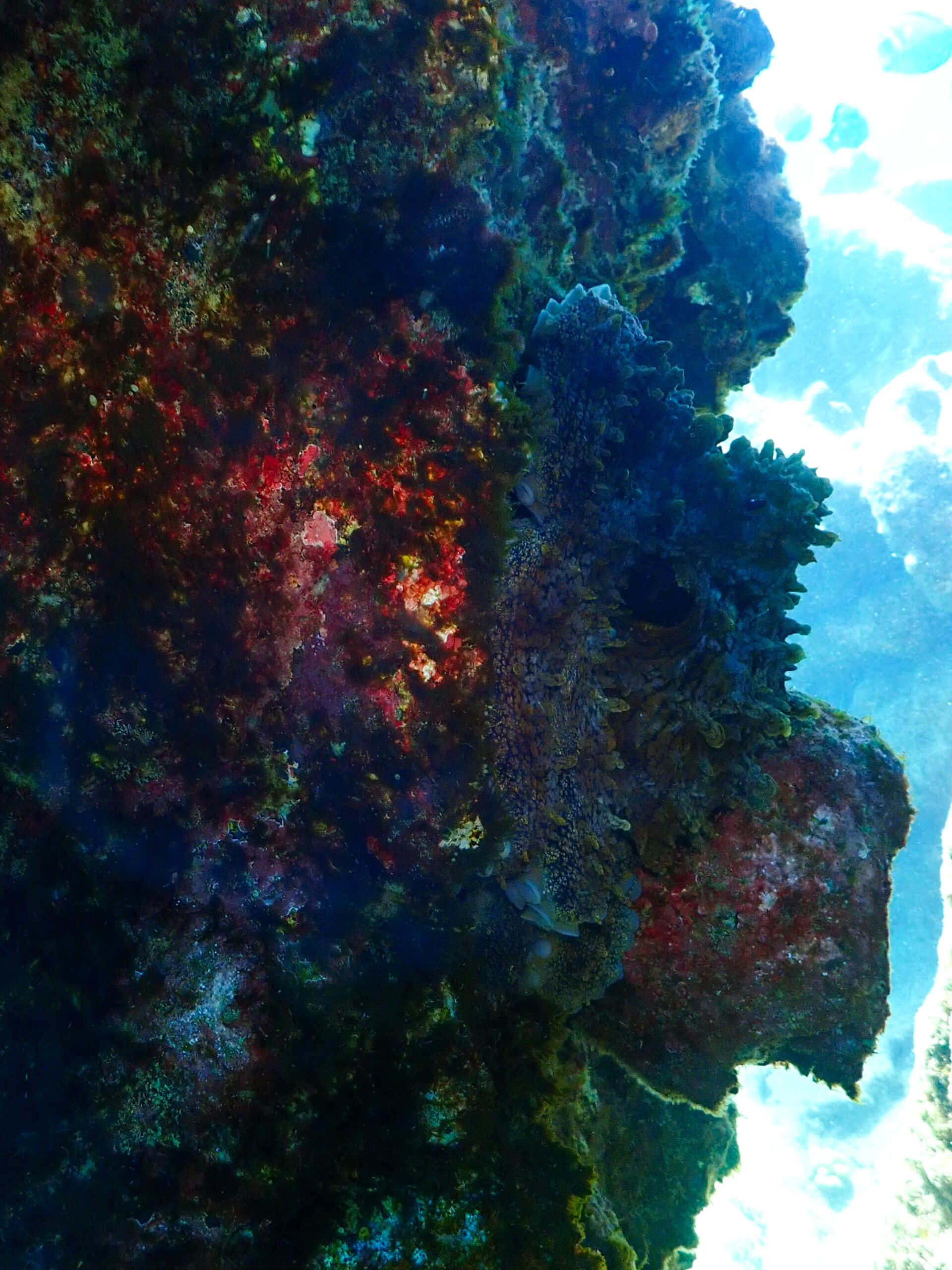
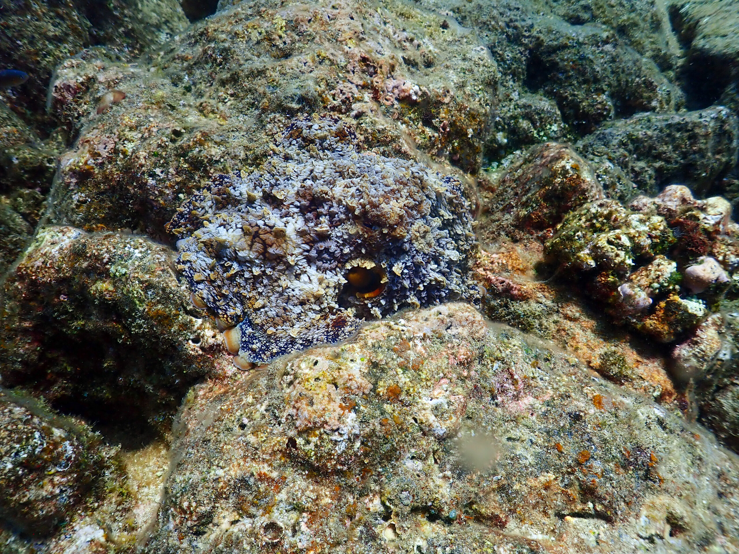
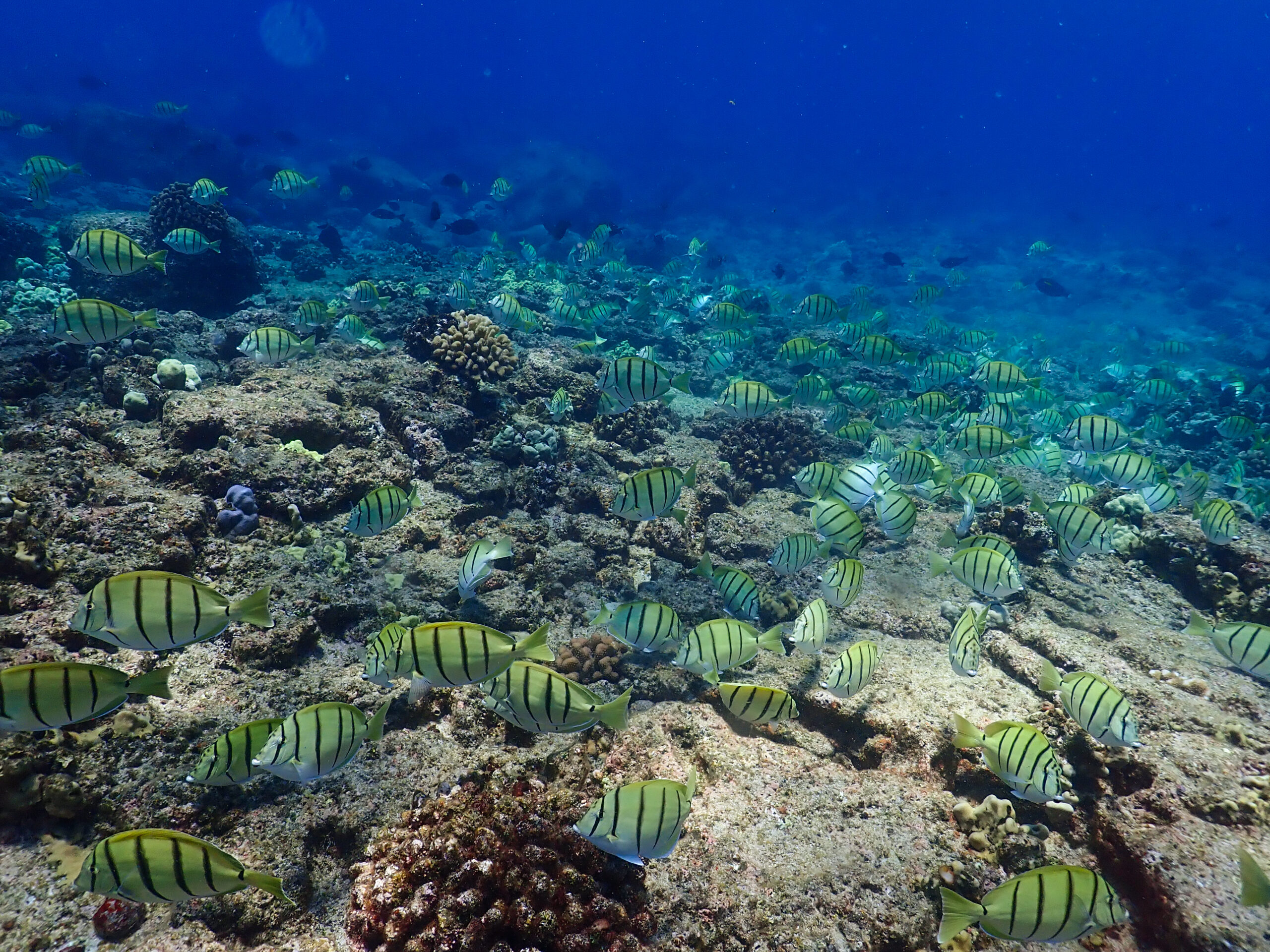
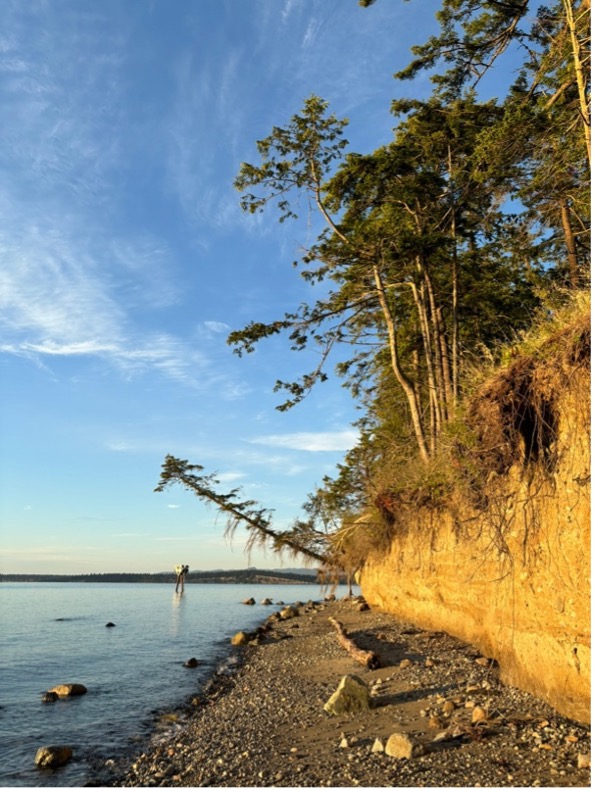
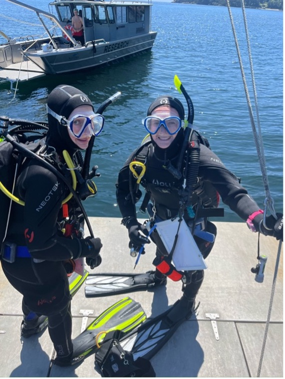
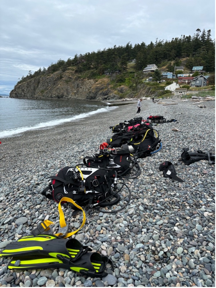
Following the pool sessions, we drove over to do our first couple open water dives at Rosario Beach. On June 25th, I did my first cold water dive as well as my first shore dive where we were thrown right into the cold, murky, and current filled water of Salish Sea. Thankfully Rosario Beach is in a protected cove, so there was some current but nothing we couldn’t handle. The view was spectacular looking out over the water to see gorgeous snow-covered mountain tops in the distance. This was the real first time (other than from the plane) I had seen mountains so close to the ocean! It was sublime. This insane dive site was where we completed our open water skill checkouts, proving our diving proficiency.
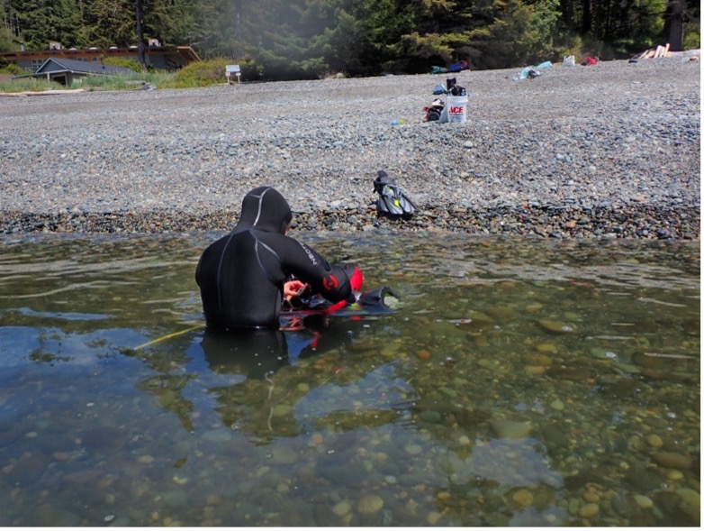
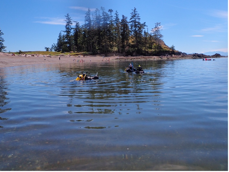

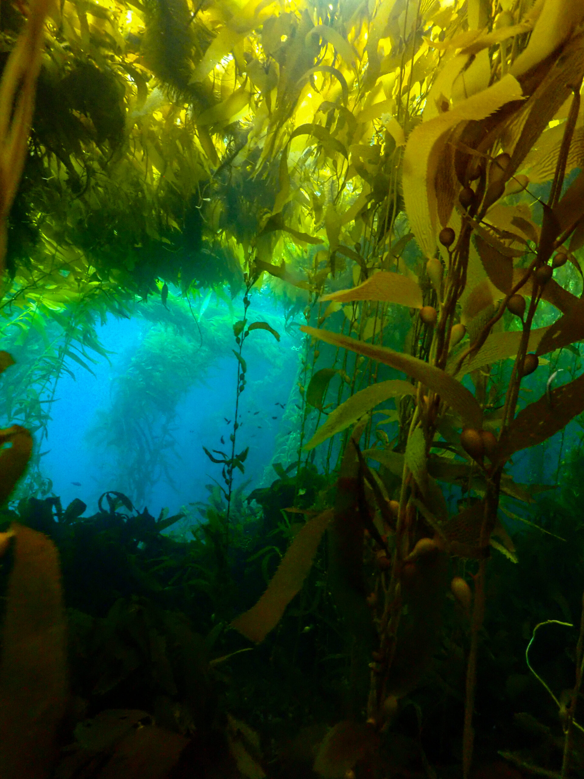
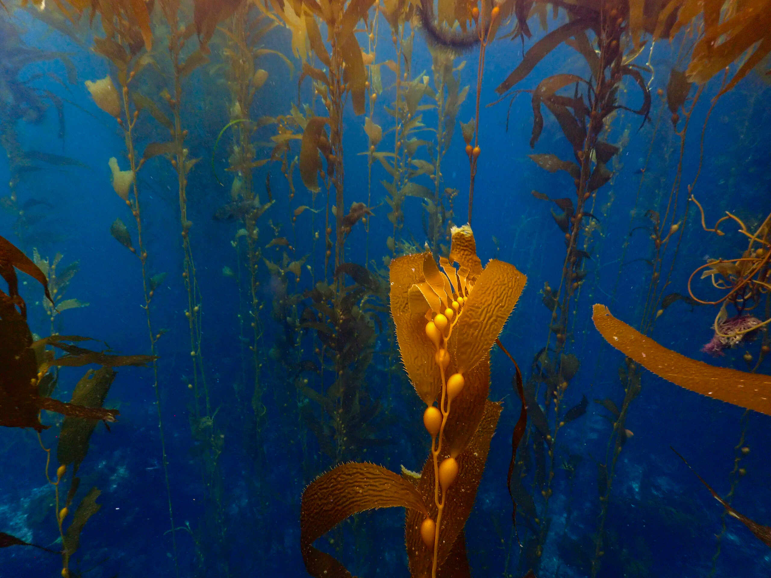
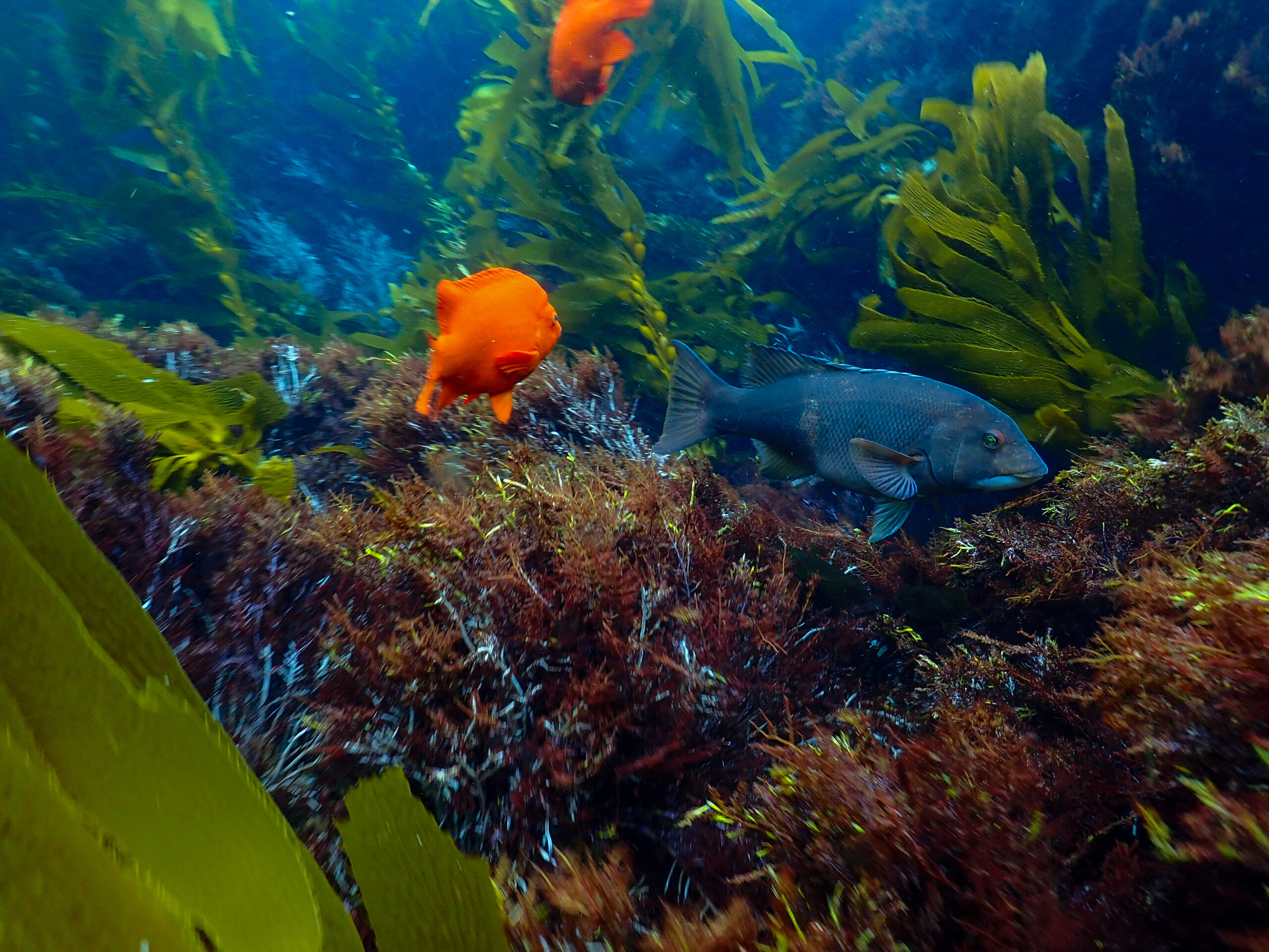
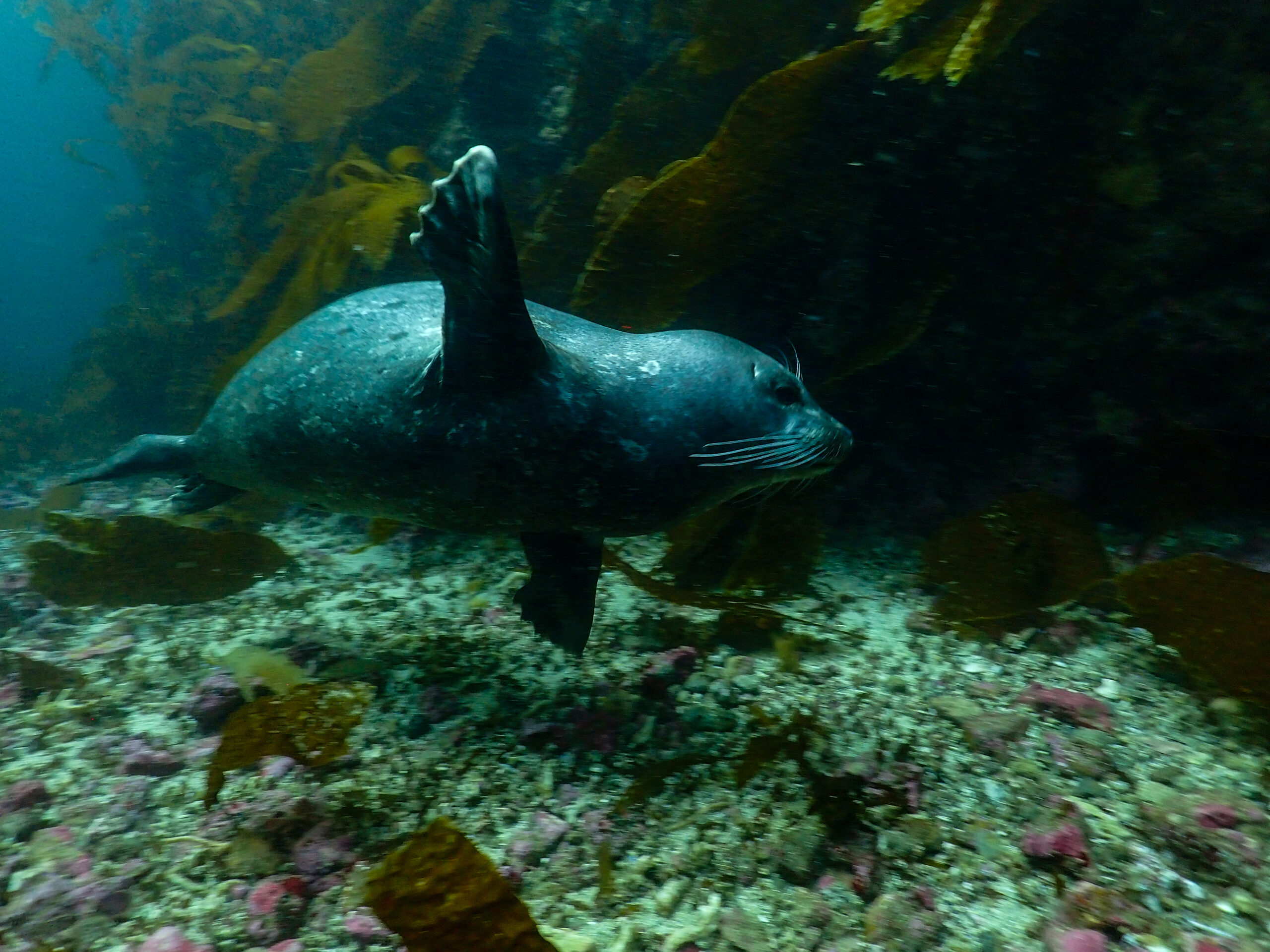
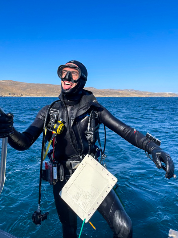
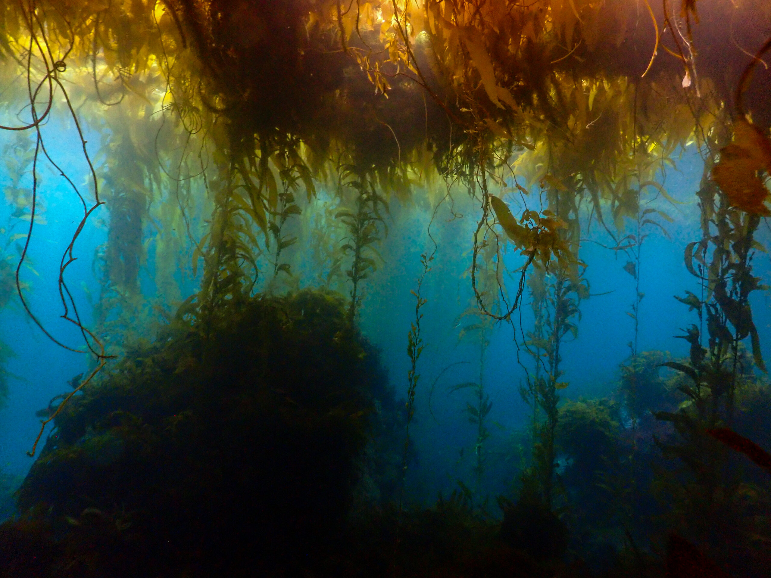
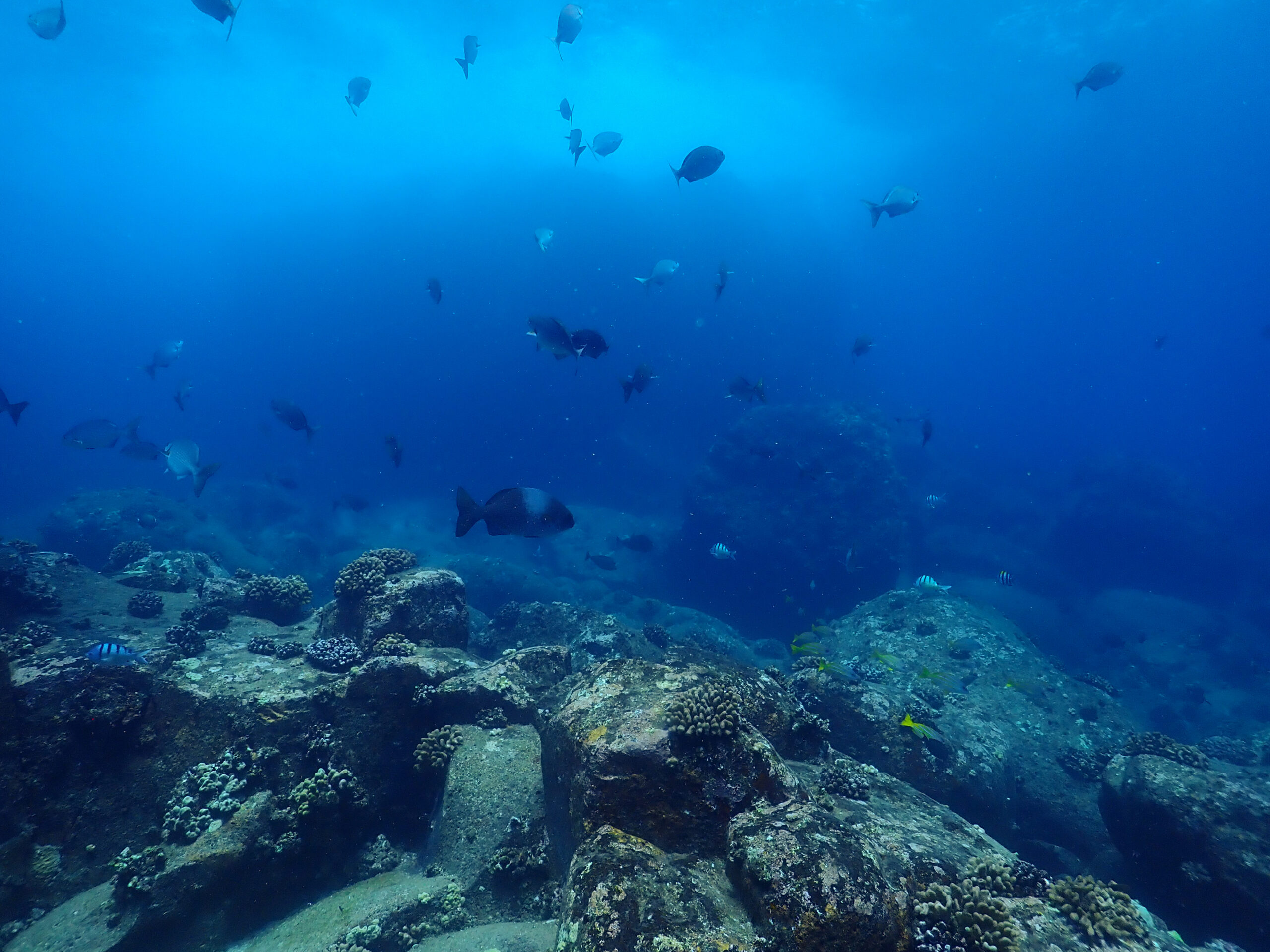
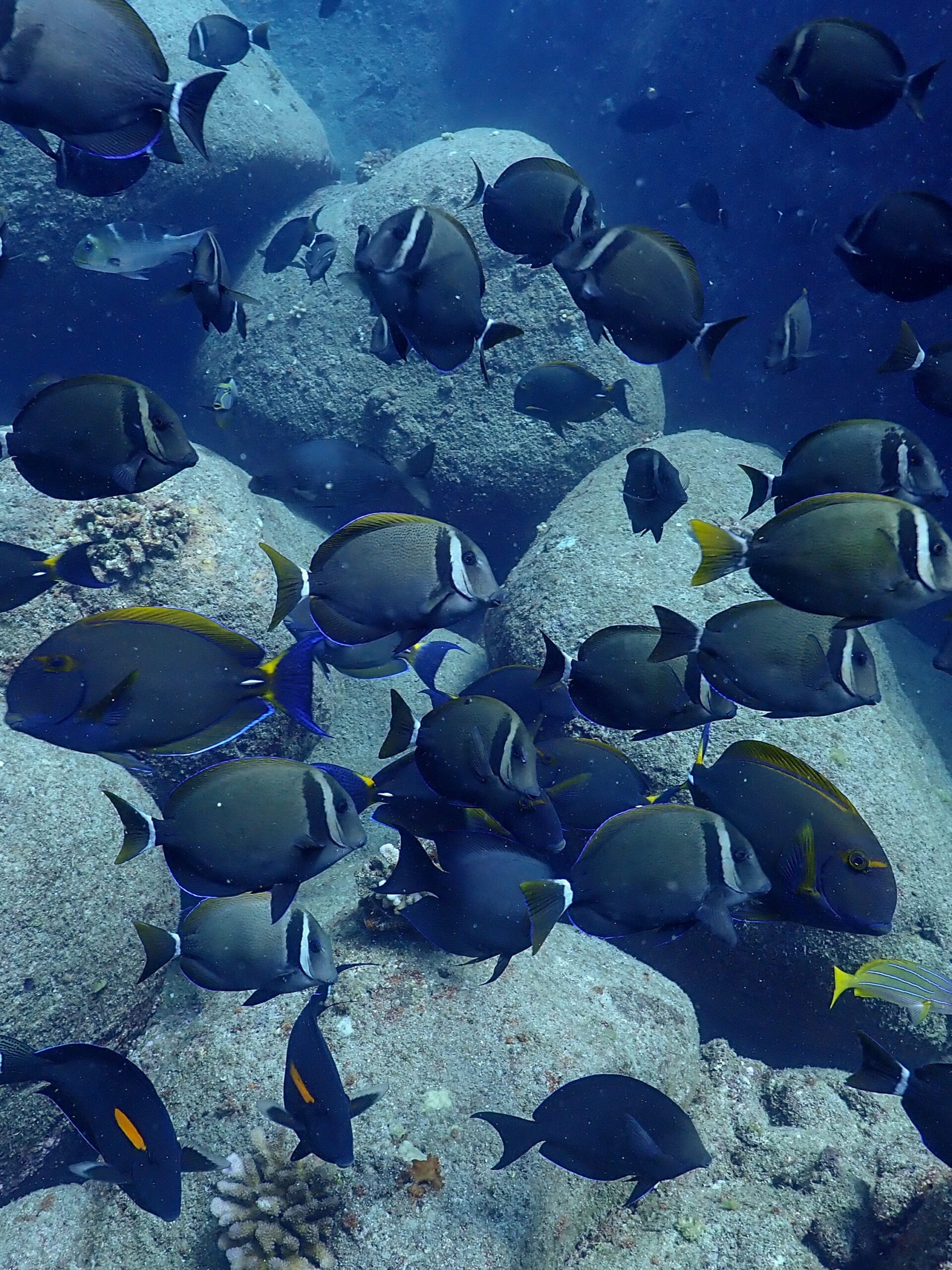
Salish Sea diving is nothing like I have ever done before. I went from the warm 80-degree waters of South Florida to the Pacific Northwest overnight. While it was a shock to trade-in my 2mm shortie wetsuit for an 8mm semi-dry suit, I have embraced all the extra gear, weight, and scientific diving tools to now consider myself a pro. Not really a pro… but getting there!

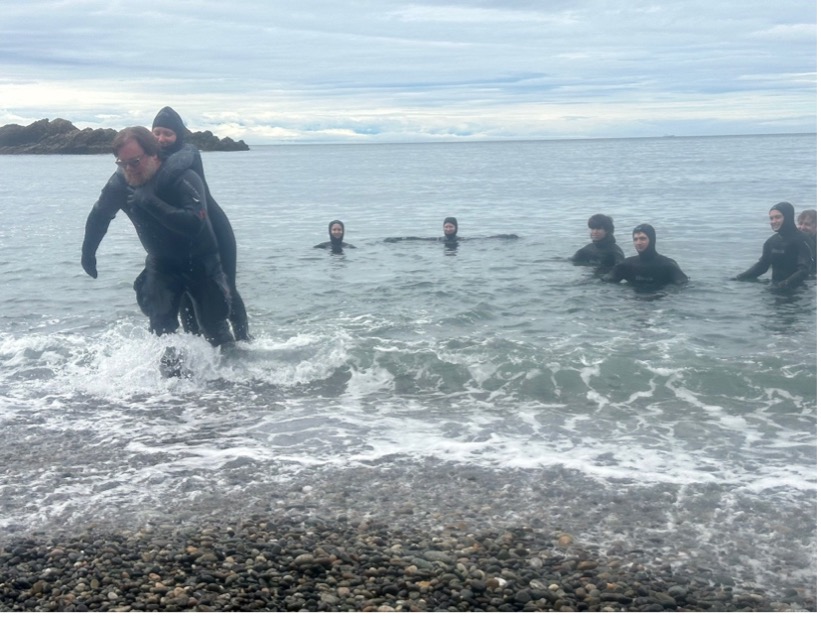
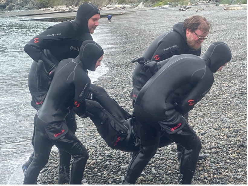
During the rest of the last week of June, we finished the bulk of our in-water checkouts at Rosario Beach for our scientific diving class specifically focusing on learning new rescue techniques and underwater navigation. The rescue skills included various water exit carries for an unconscious victim, tired diver tows, unconscious diver from depth rescues, unconscious diver at the surface rescues, conscious surface rescue, panicked diver scenarios, and CPR. The one-to-one unconscious victim shoreline exits were particularly difficult resulting in some collapsing, but the victim made it to land where more help was waiting to assist! It was very important for the rescue breaths to be methodically given every 5 seconds during the entire long surface swim to shore without sacrificing speed to give the victim the best chance of survival.
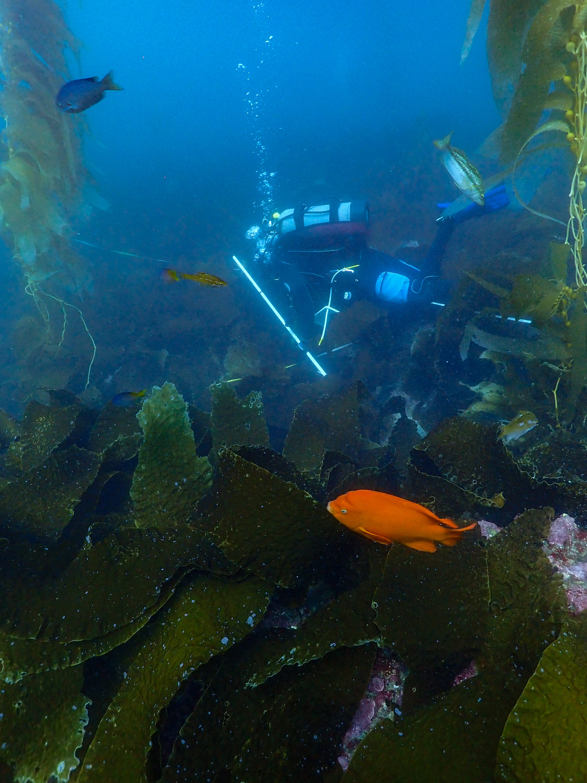
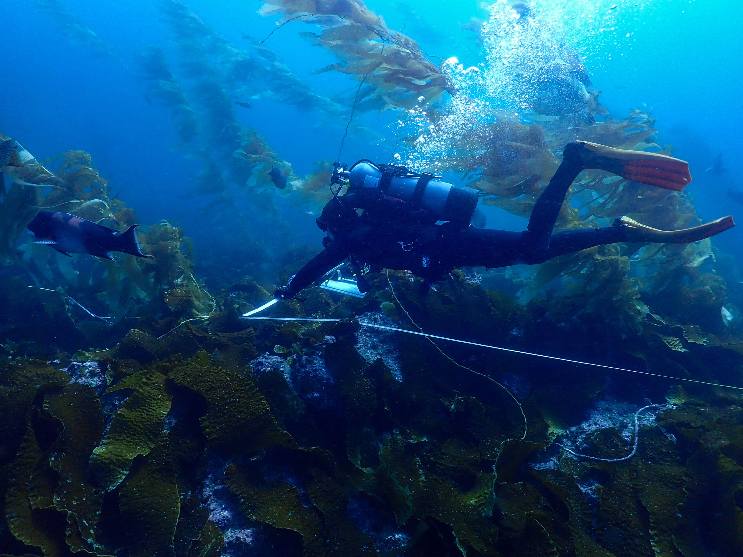
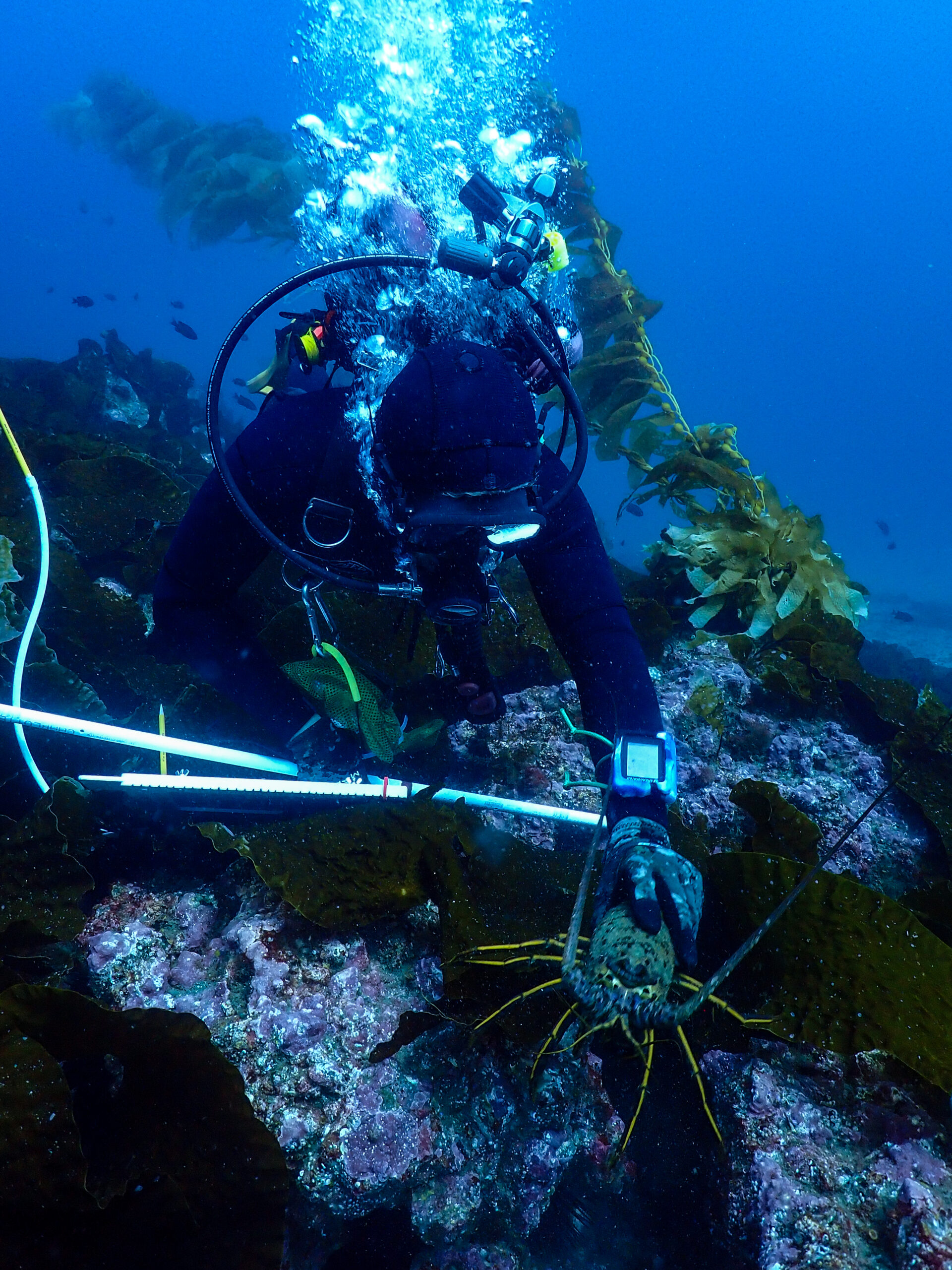
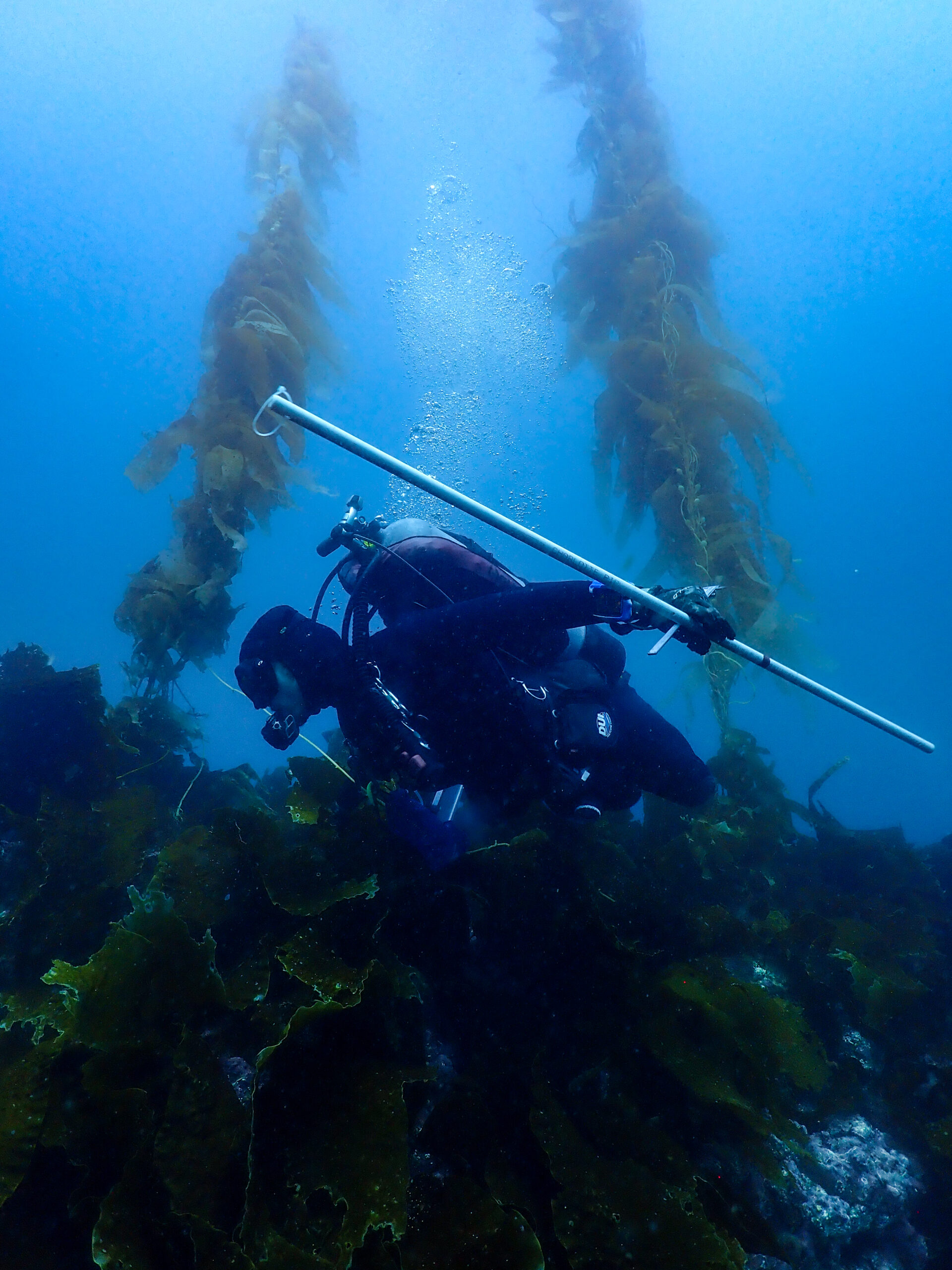
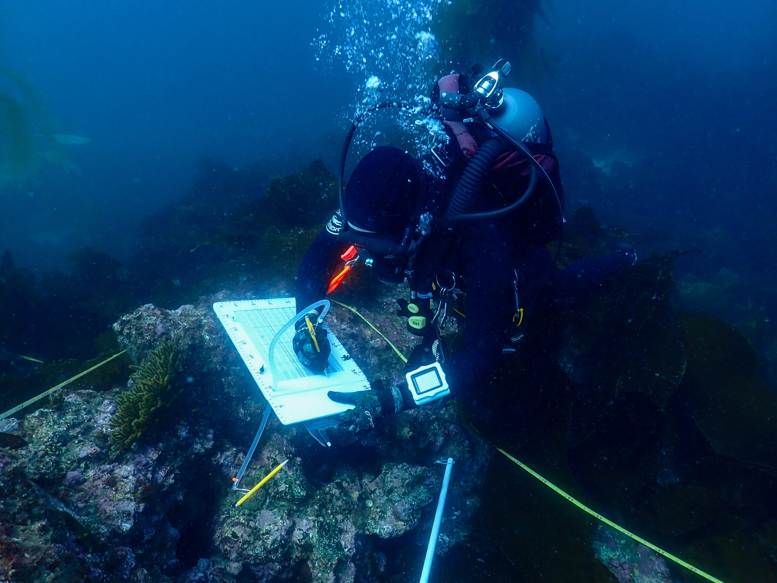
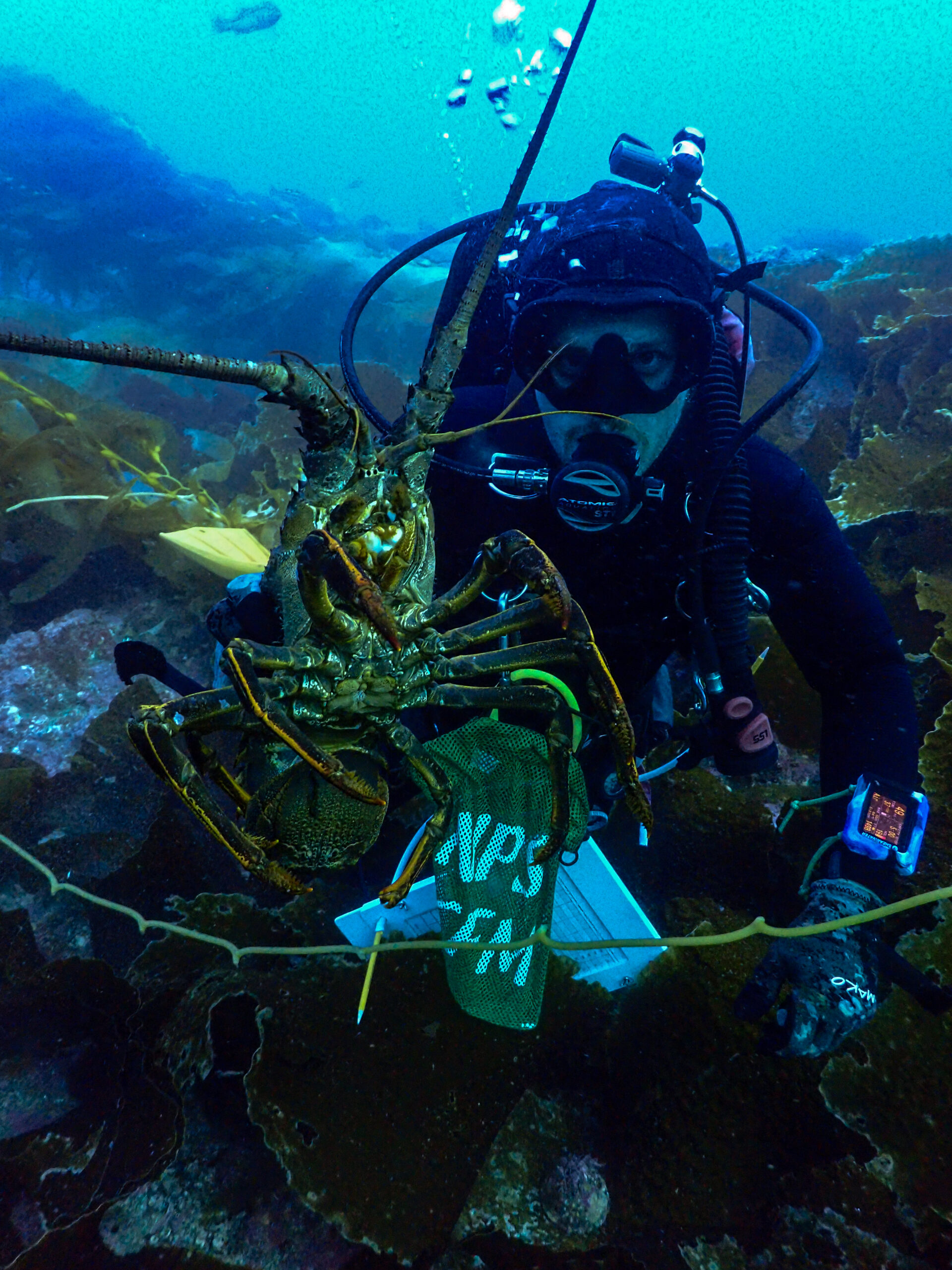
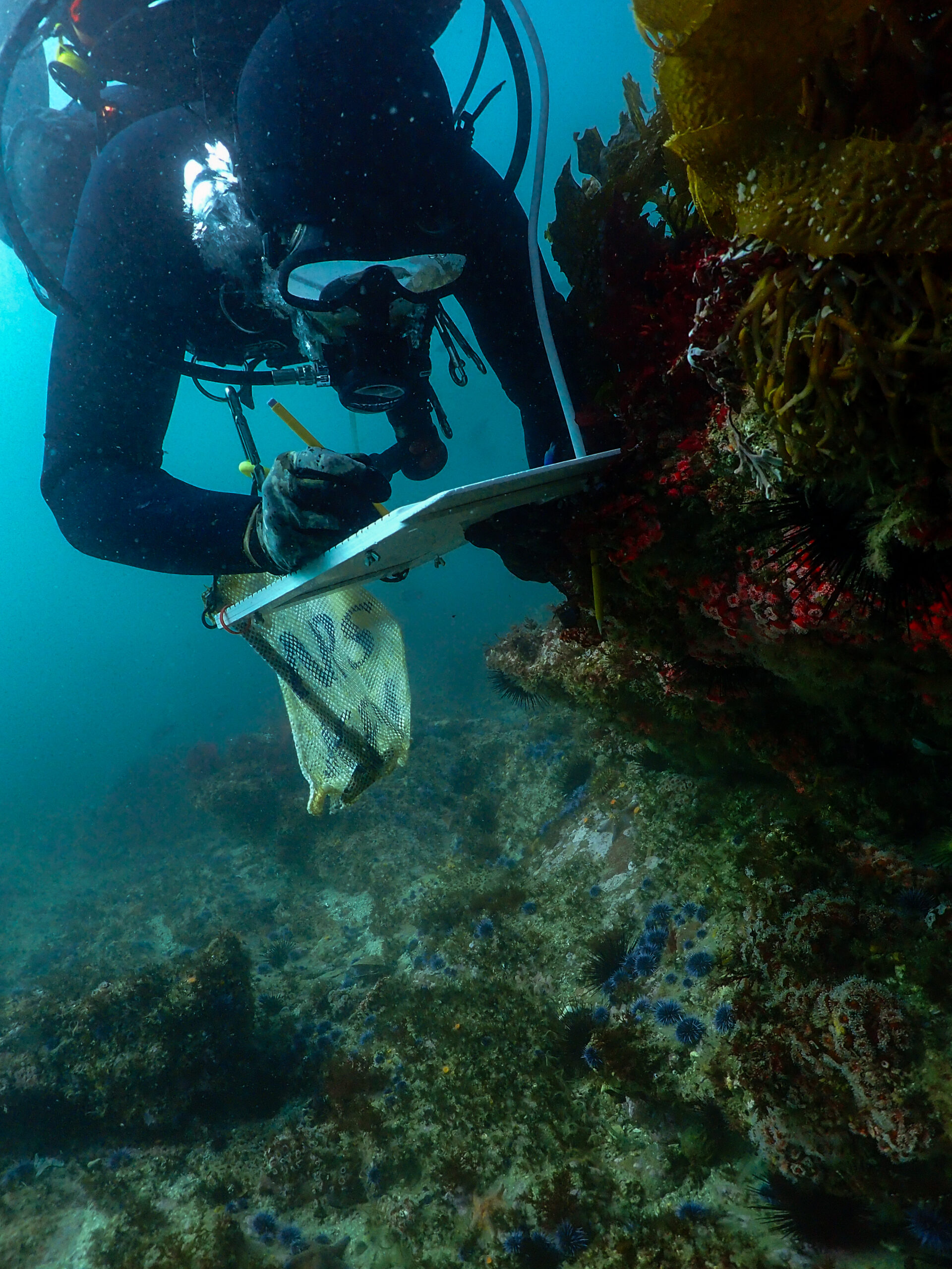
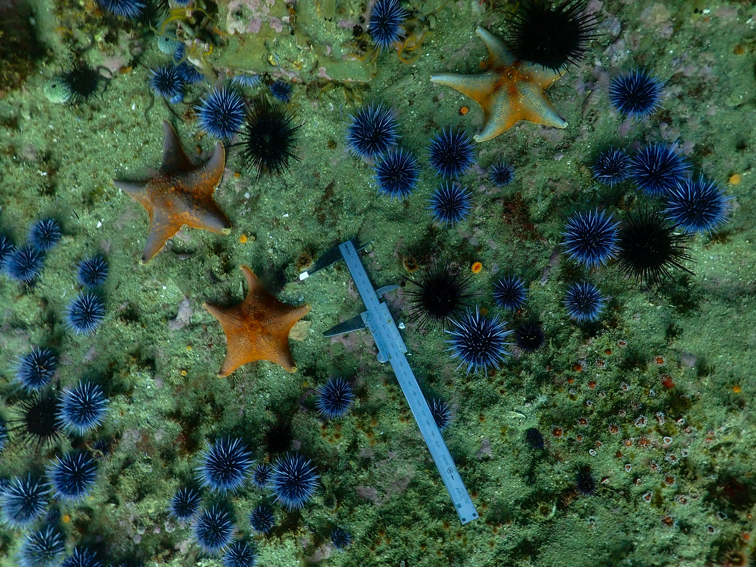
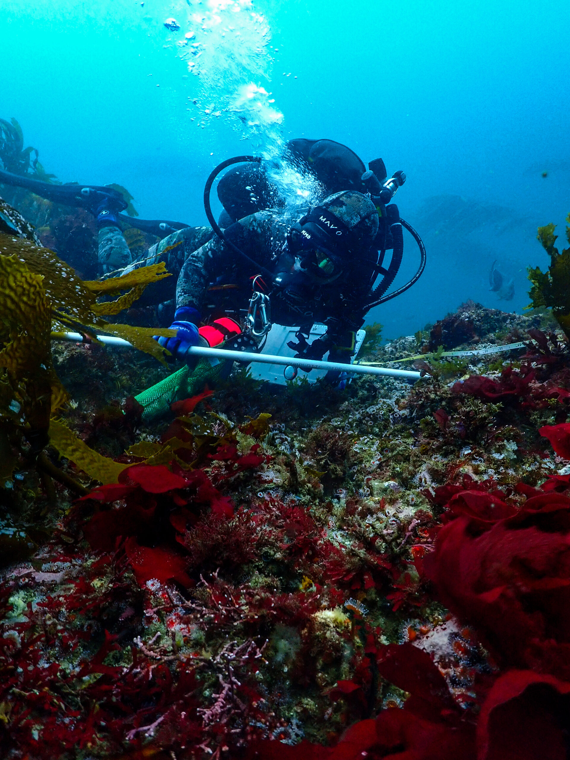
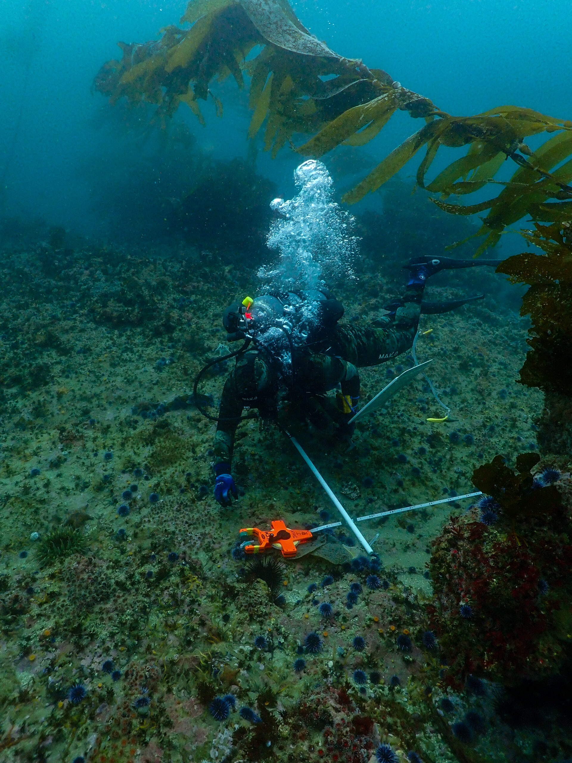
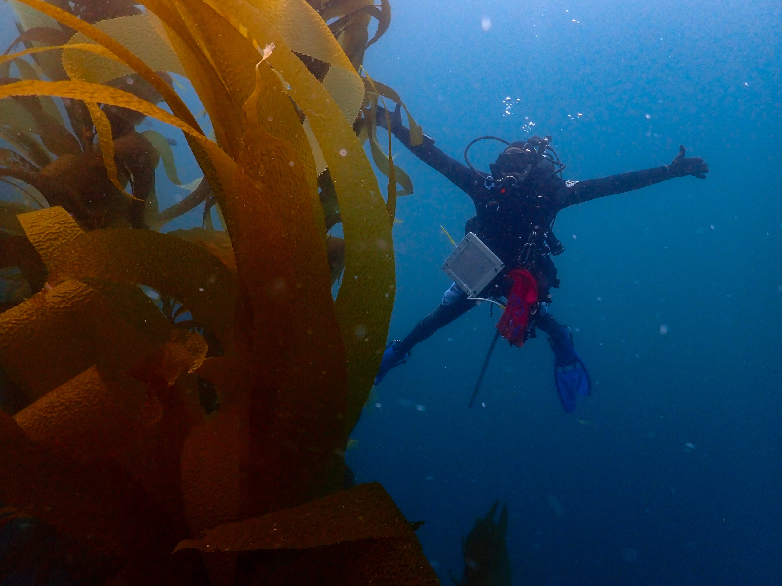
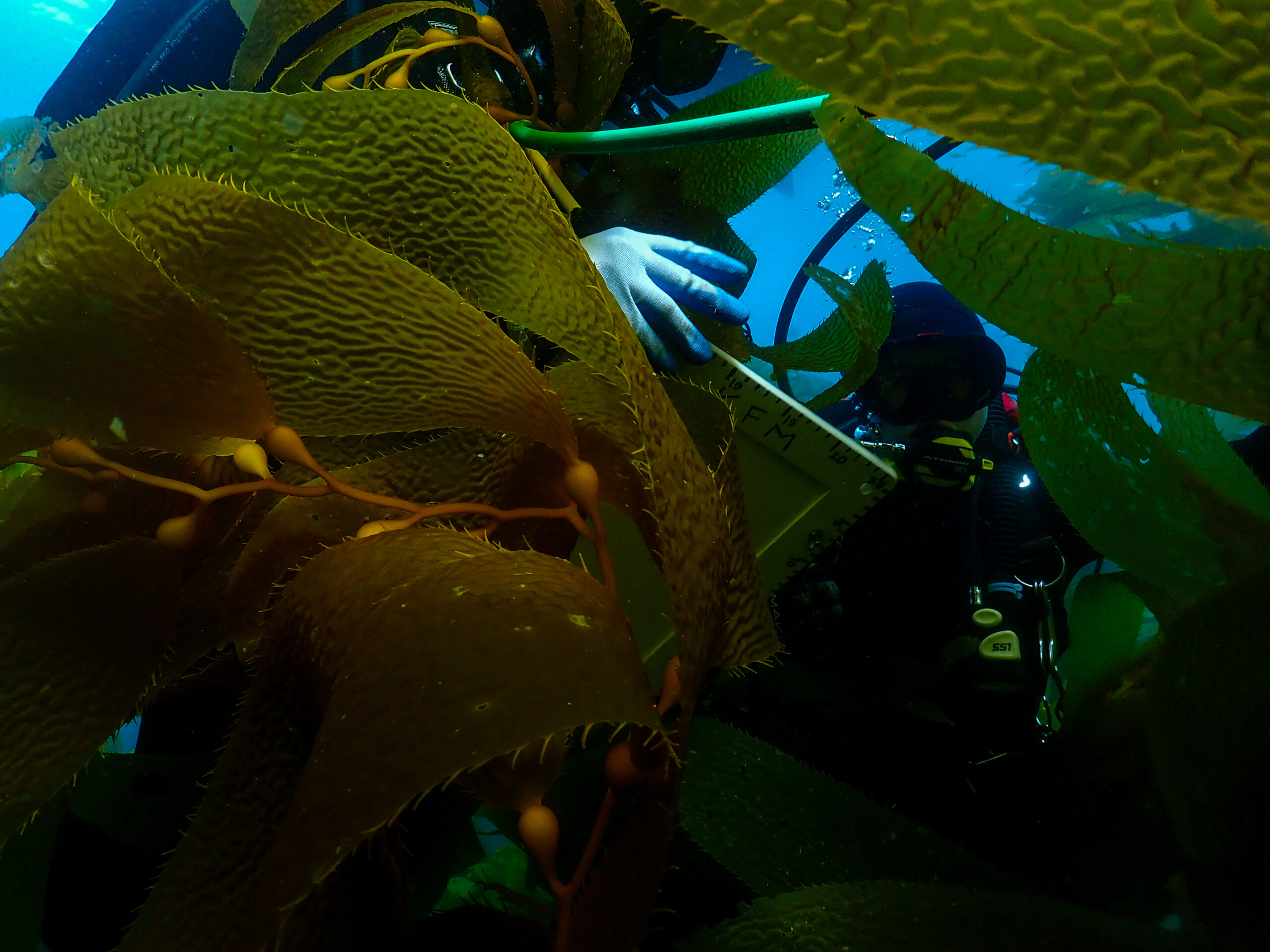
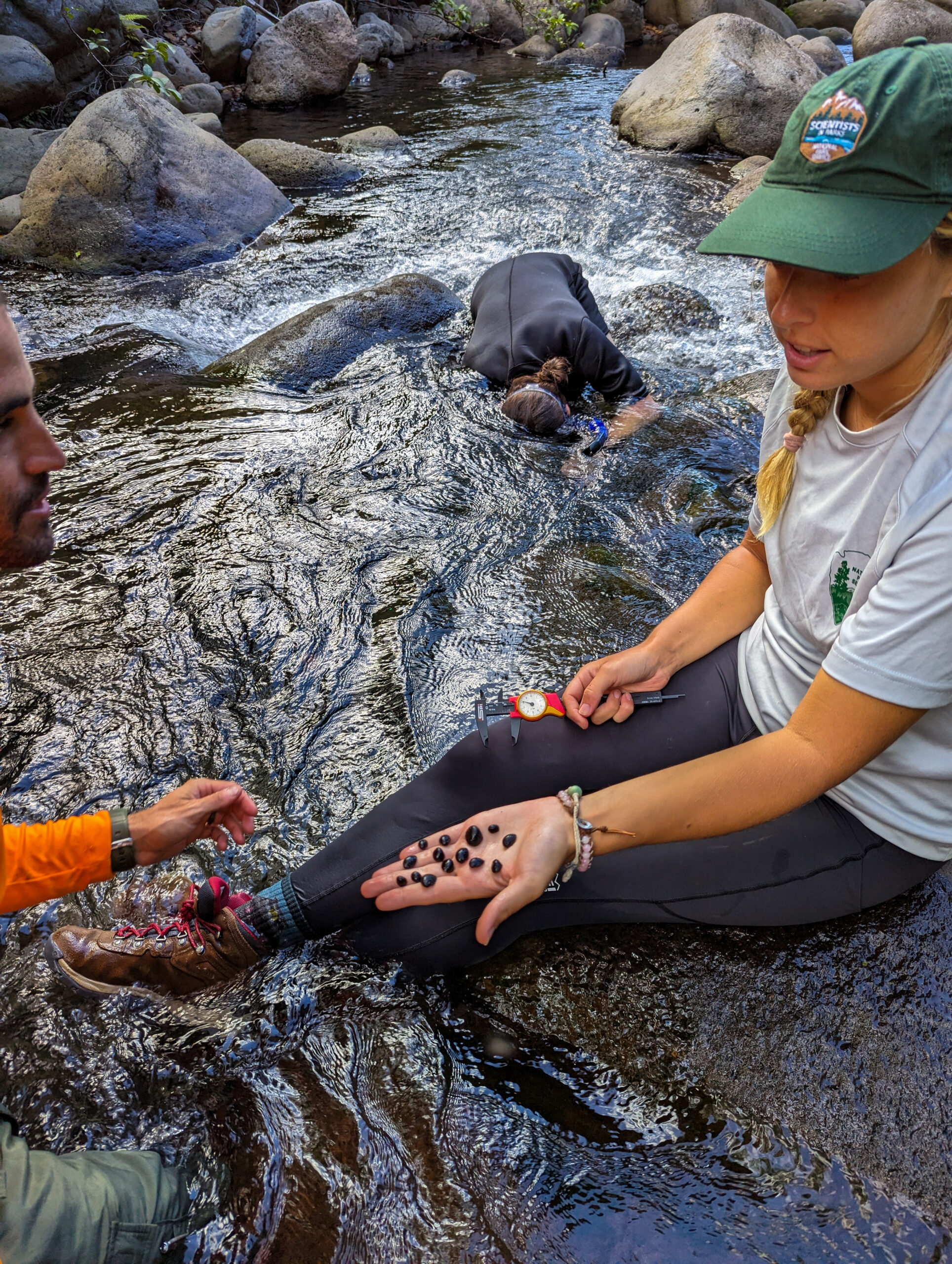
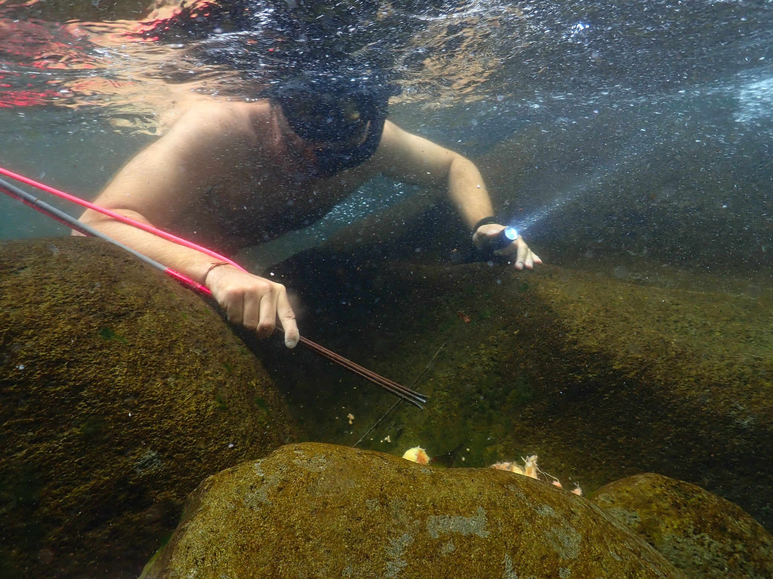
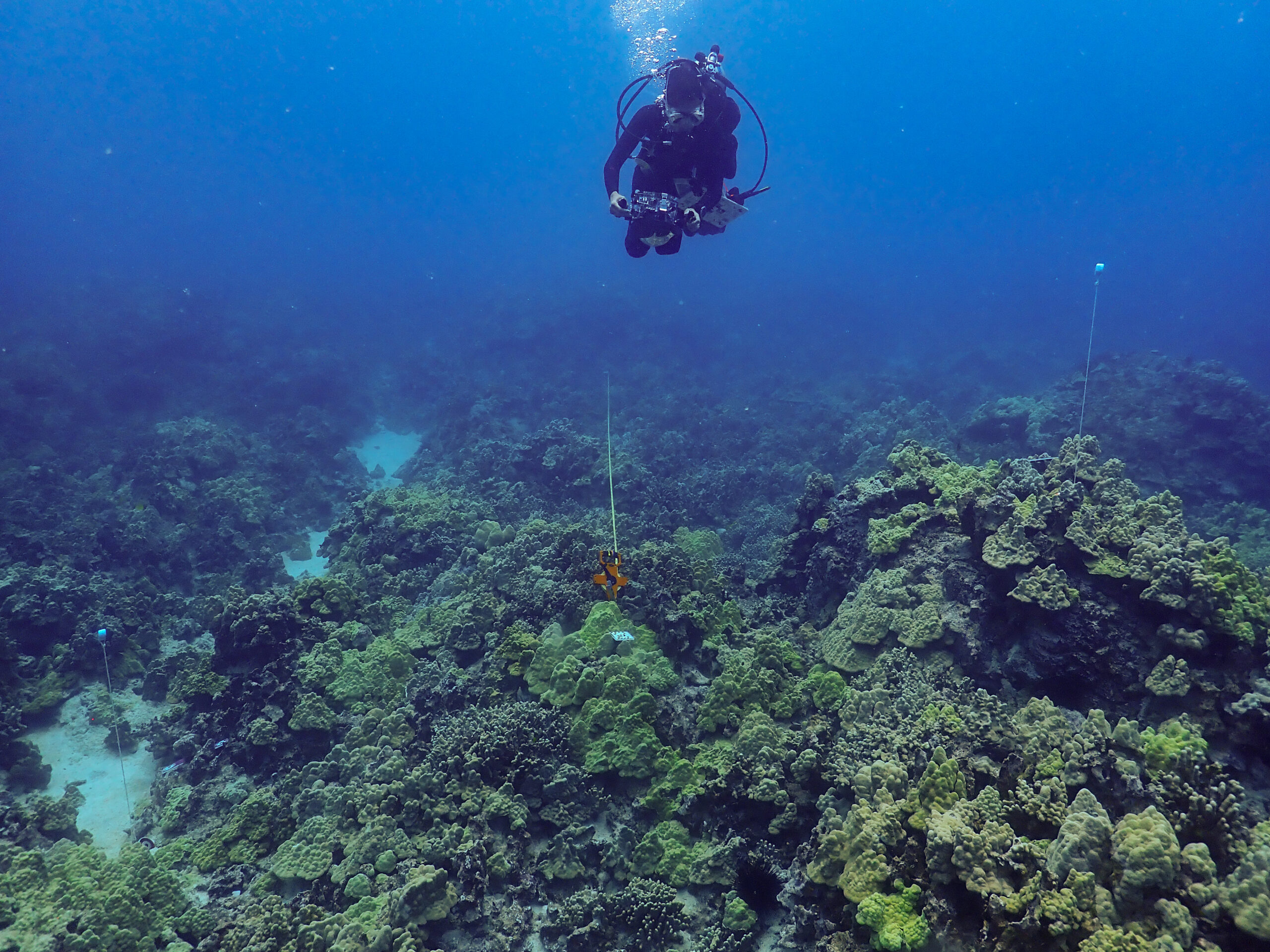
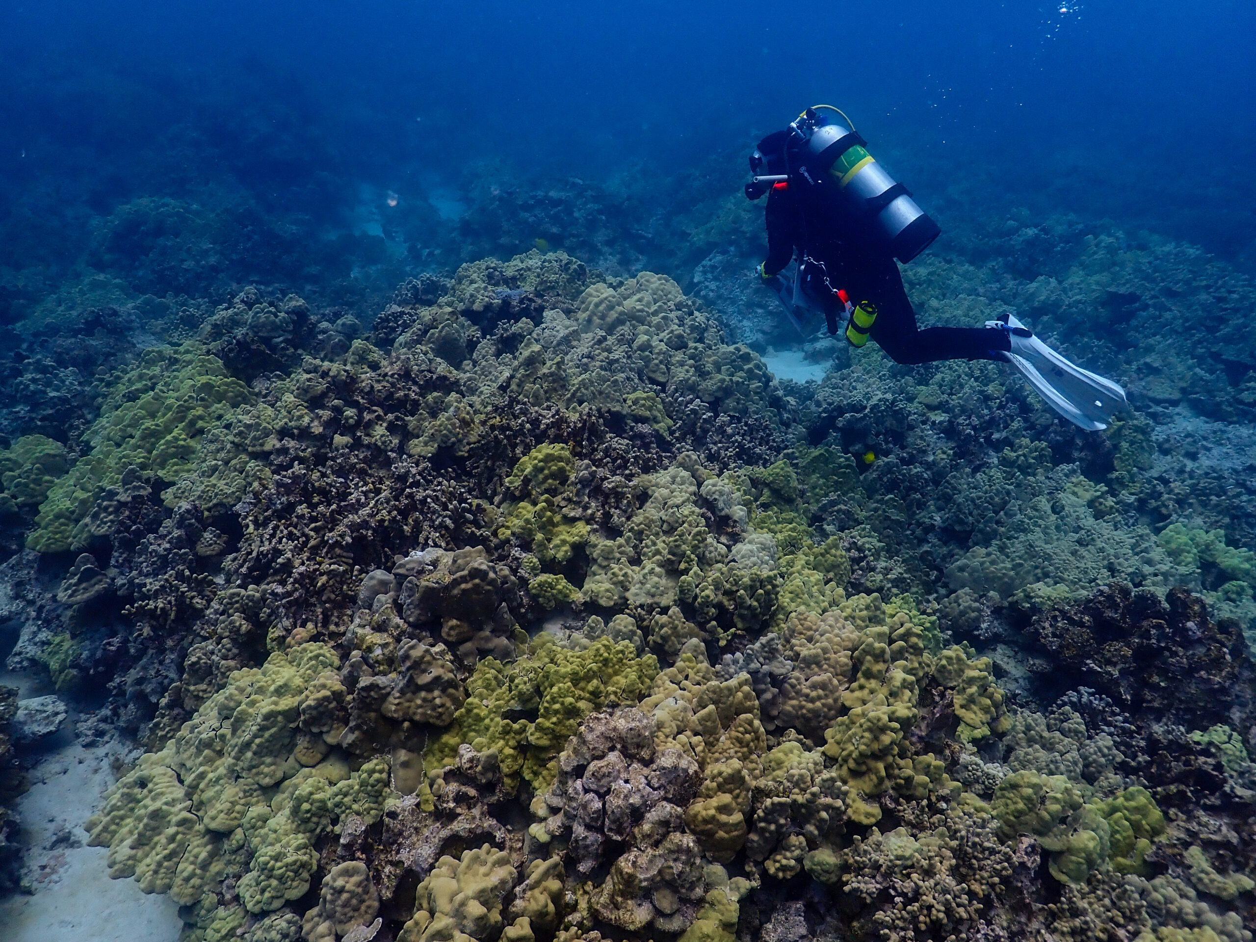
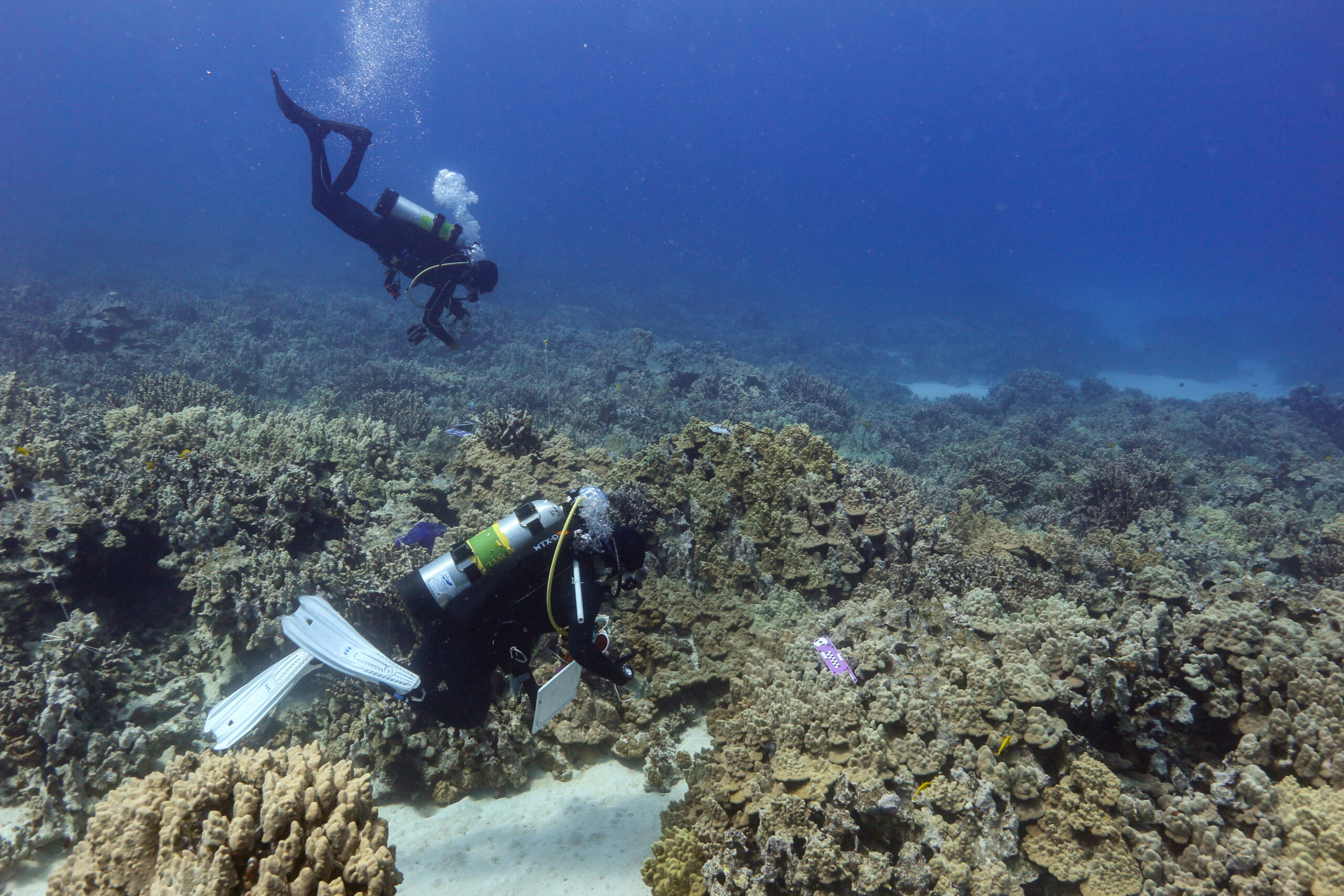
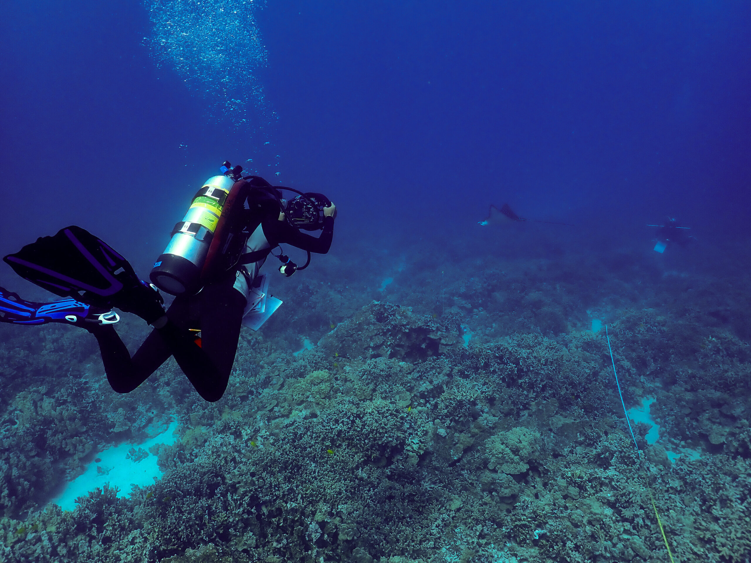
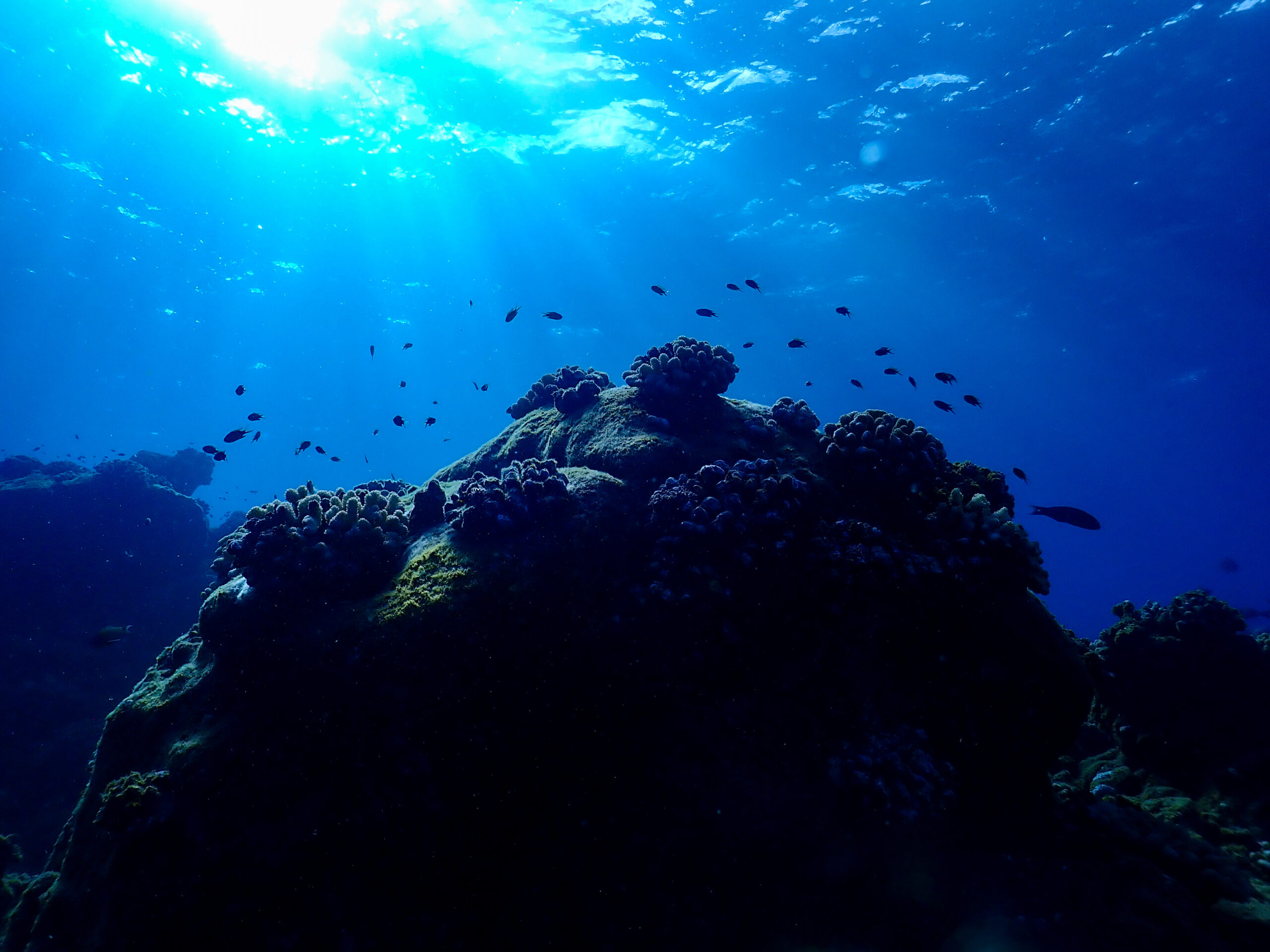
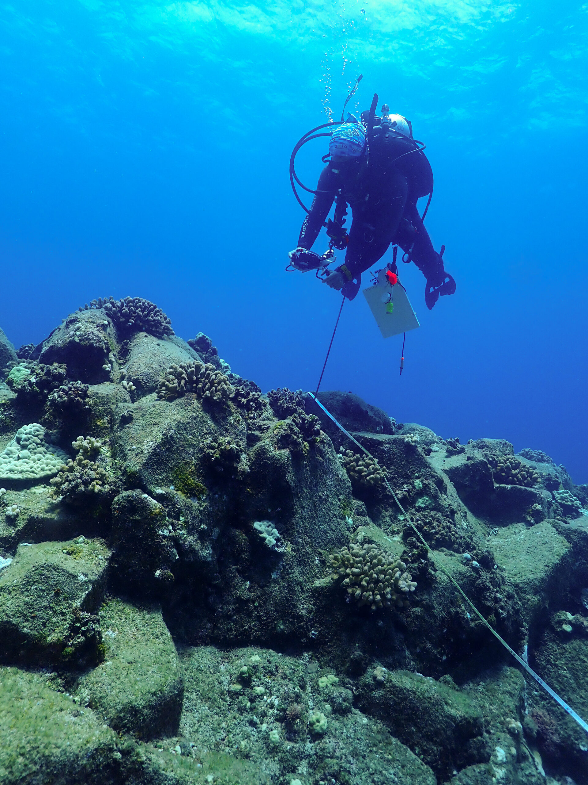
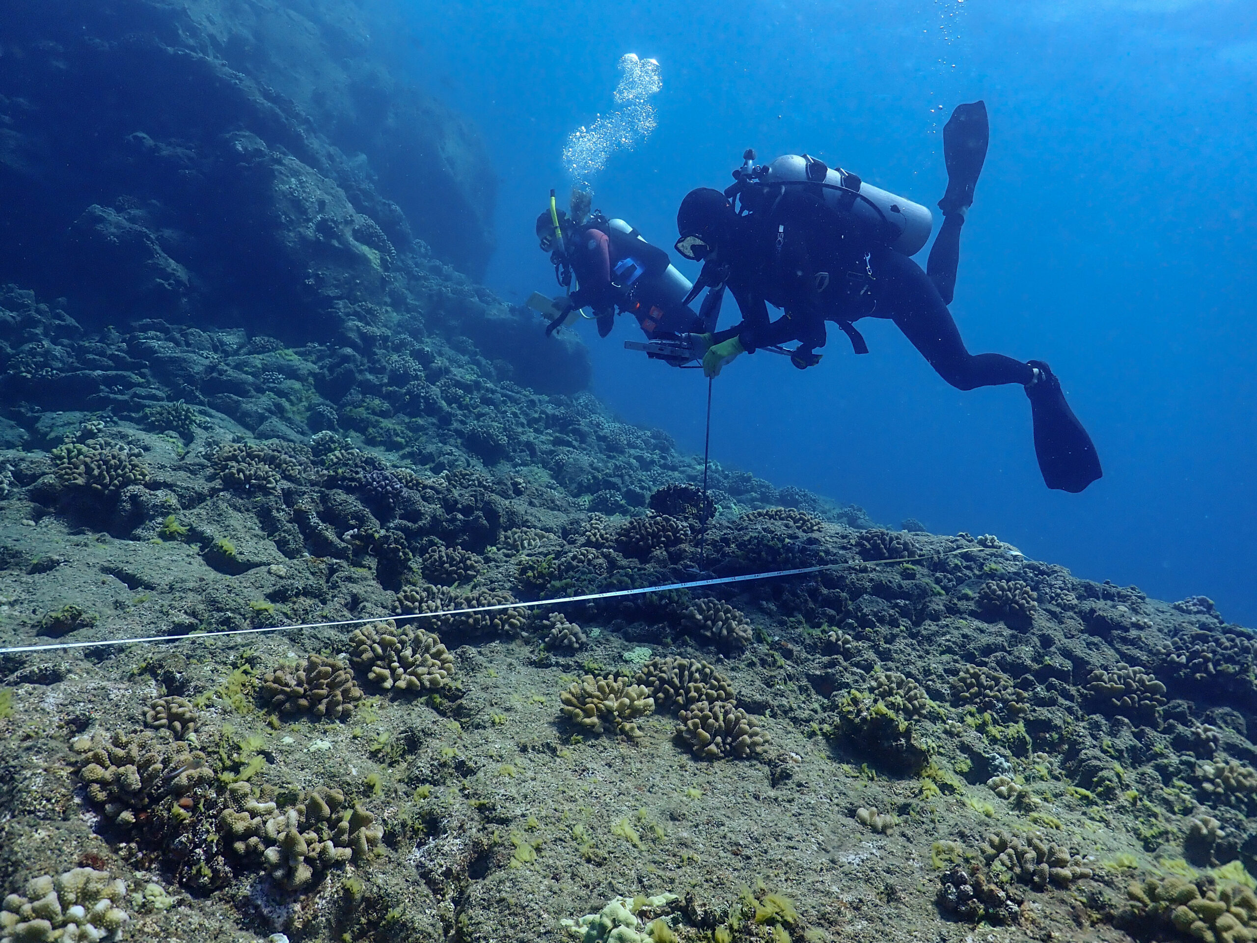
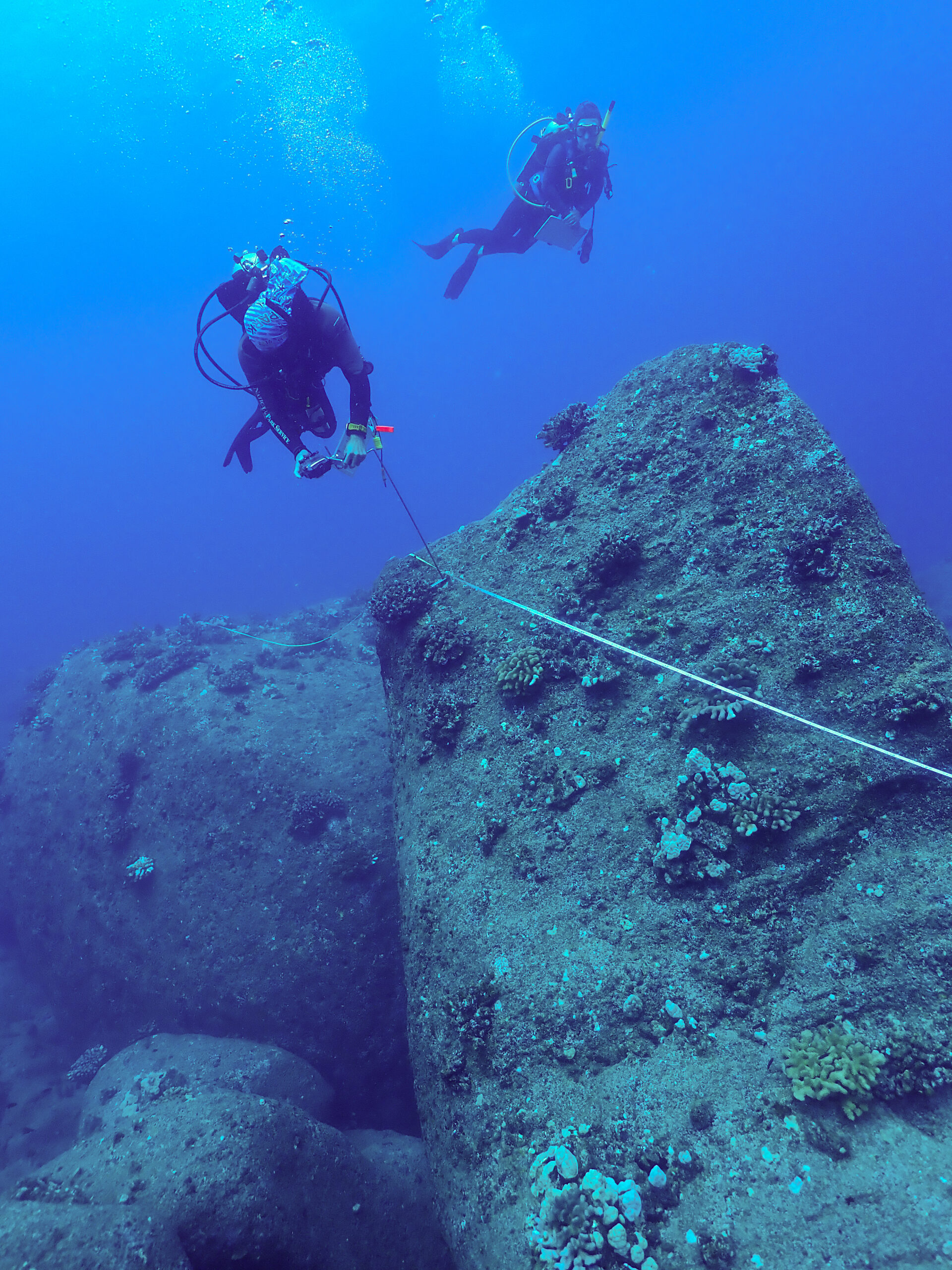
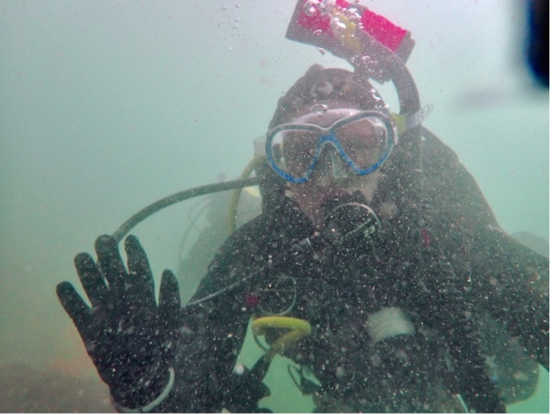
Our navigation and light salvage dives (transporting 10+ lbs. of debris to the surface) included conducting a semi-circle search pattern to find a lift bag which we then used to bring a cinderblock to the surface safely from depth. We then practiced conducting a full circle search with a meter tape. After the search patterns, we completed a large kids puzzle underwater to test our buoyancy and multi-tasking ability. Lastly, we practiced our compass usage and fin kick counting by taking a heading and swimming a reciprocal while accounting for current. This dive was my longest cold-water dive to date with a bottom time of 35 minutes and only my feet got cold!
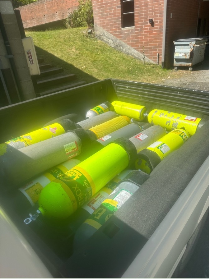
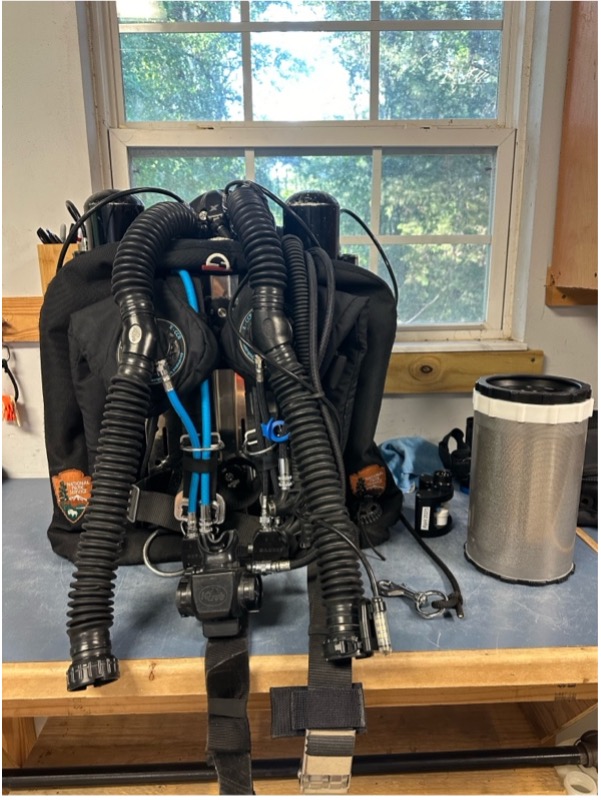
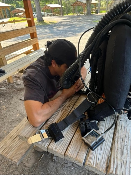
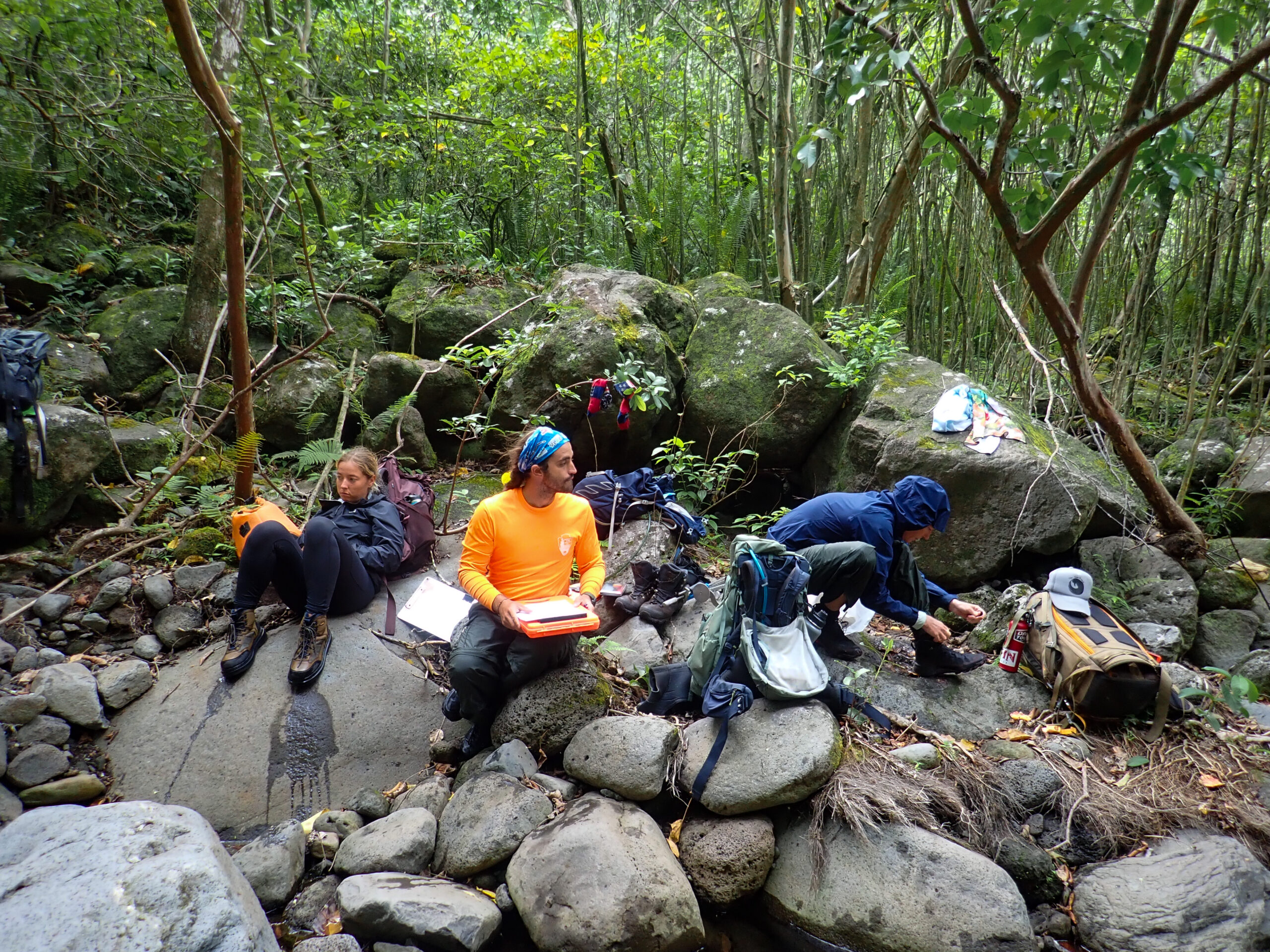
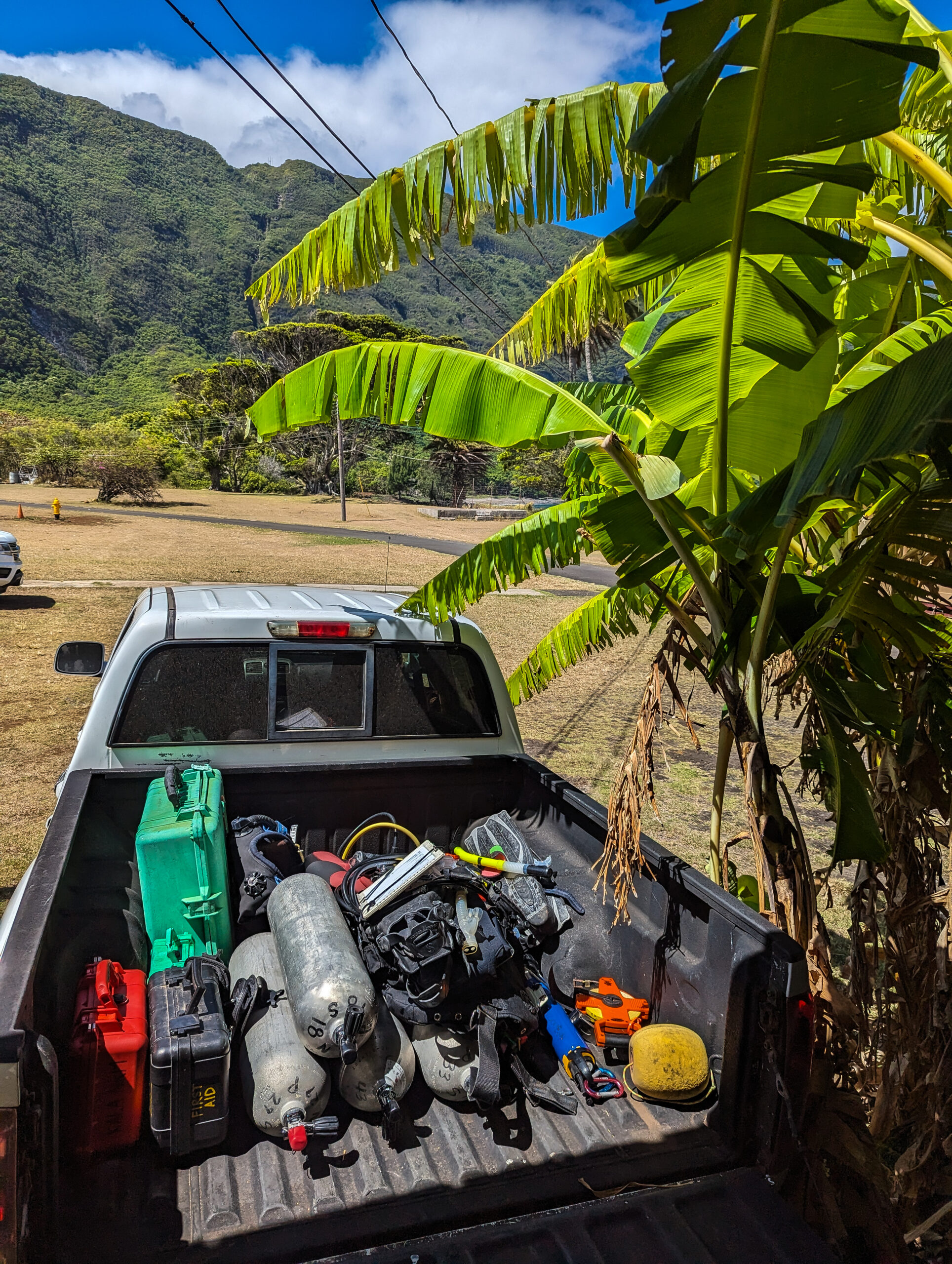
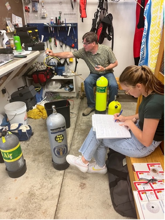
Our diving education continued beyond underwater skills. Ayden and I assisted Nate in visually inspecting every scuba cylinder in the dive locker (about 30). The inside and outside of scuba cylinders need to be inspected every year to make sure you are breathing out of a properly cared for cylinder. Cracks, bulges, corrosion, cuts, gouges, and paint chips can develop on the inside and outside the cylinder over time due to mishandling. Discussions of various scientific papers focusing on diving safety, regulations, future dive medicine, and hazards were had as well. These papers included recreational, scientific, and commercial diving focusing on limits of recreational and scientific diving. My favorite is the 2012 Dardeau et. al paper titled “The incidence of decompression illness in 10 years of scientific diving.” It was so interesting to see the statistics of recompression therapy and how successful it truly is with it providing a full recovery in 28/33 DCI (decompression illness) cases.
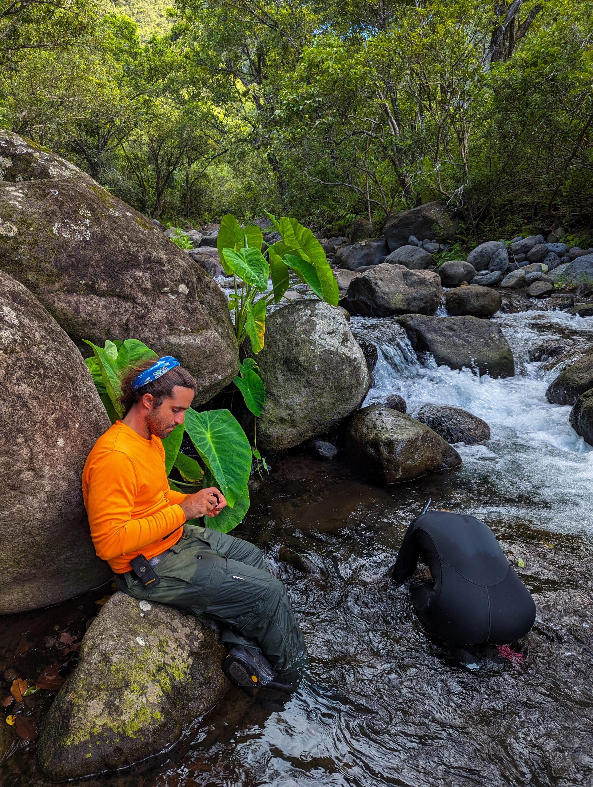
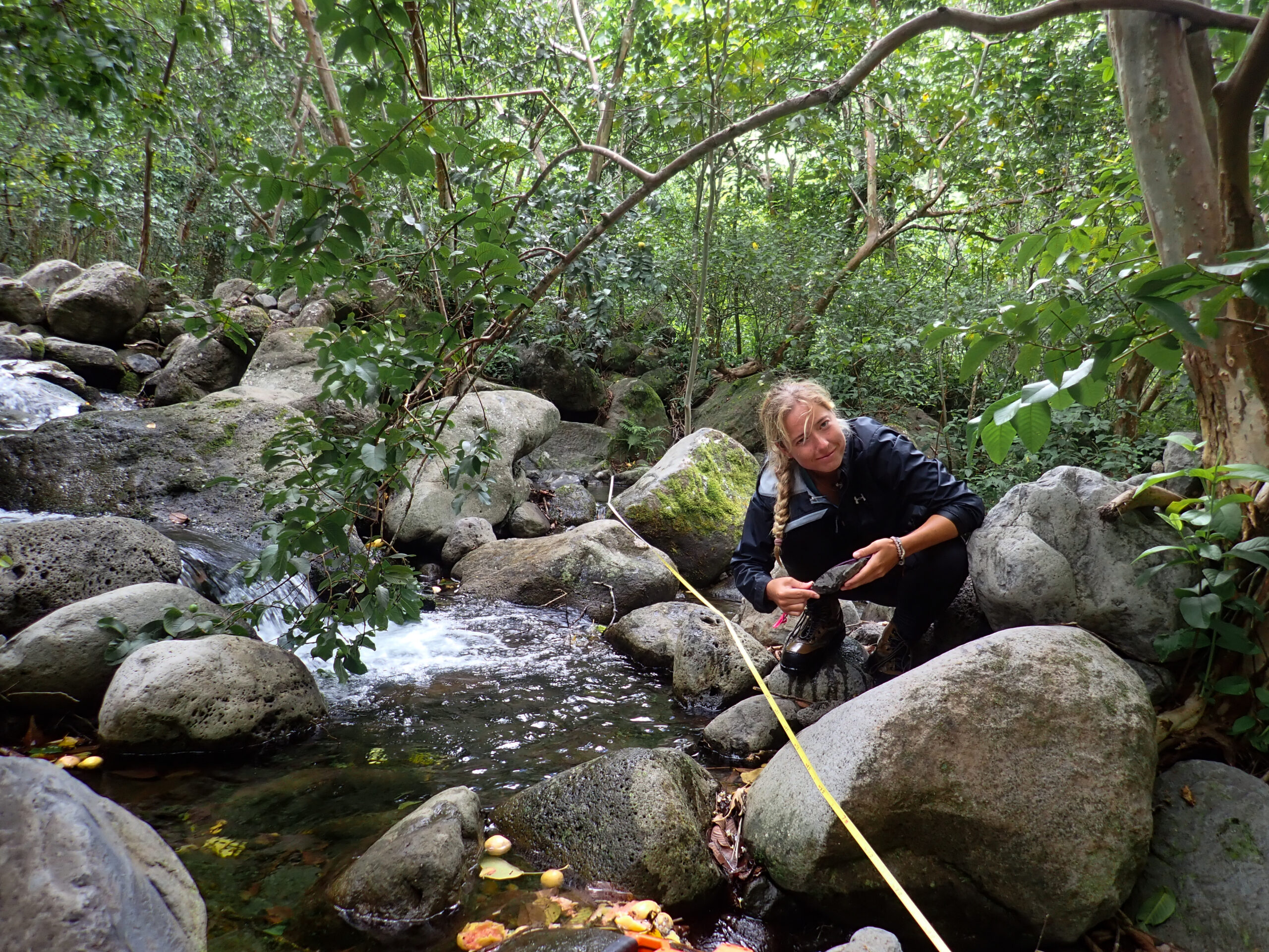
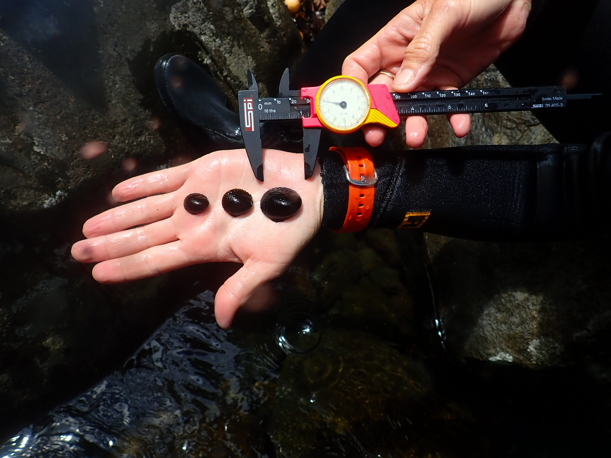
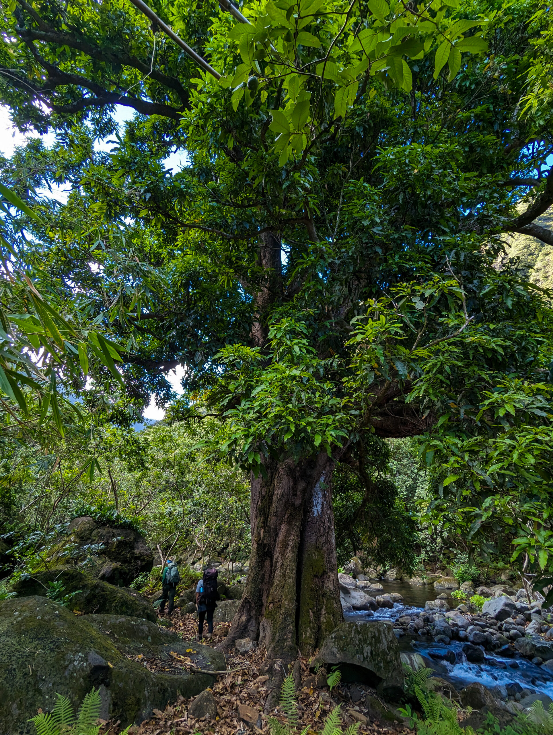
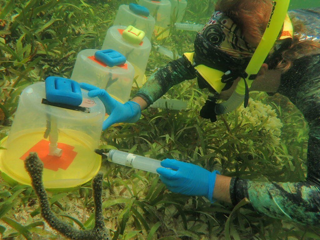
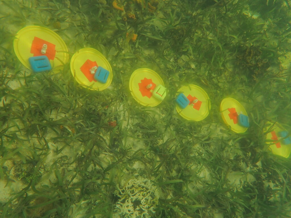
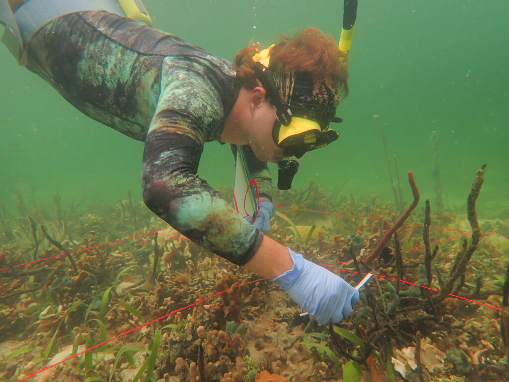
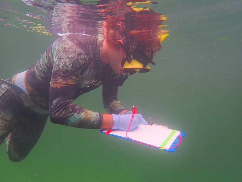
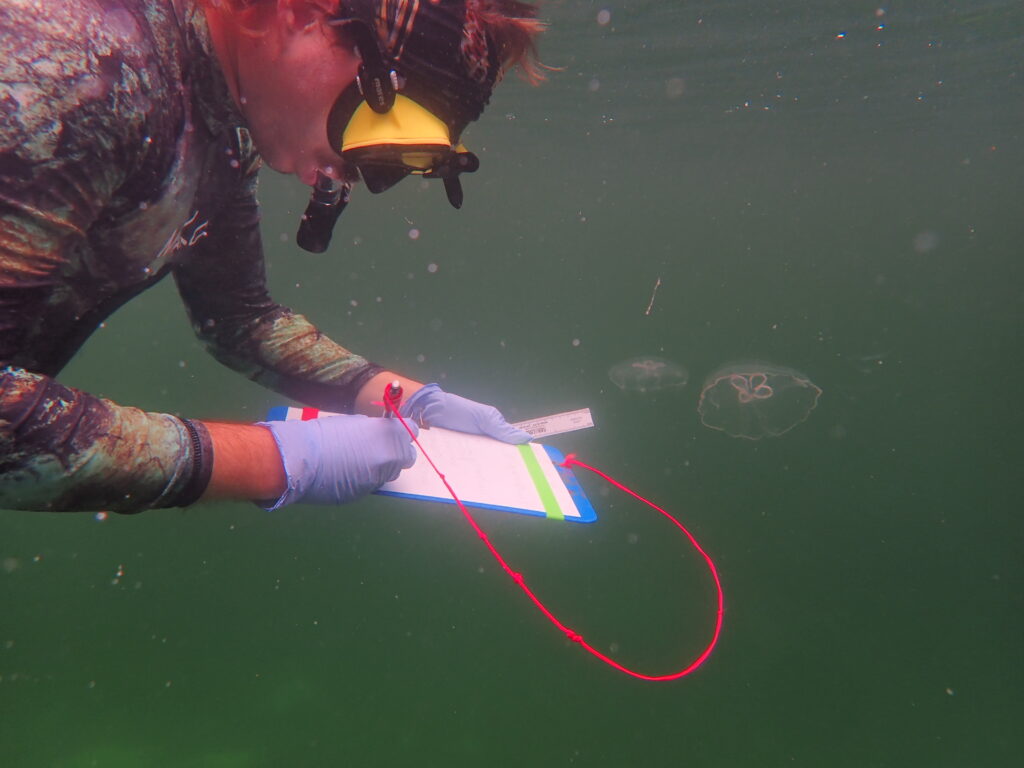
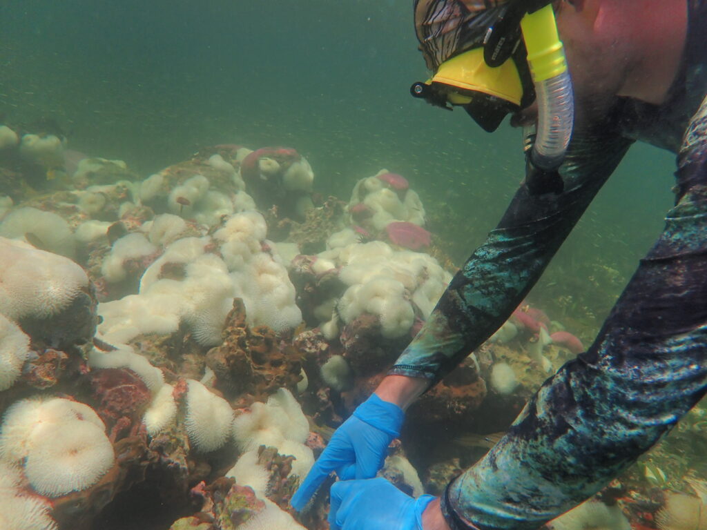
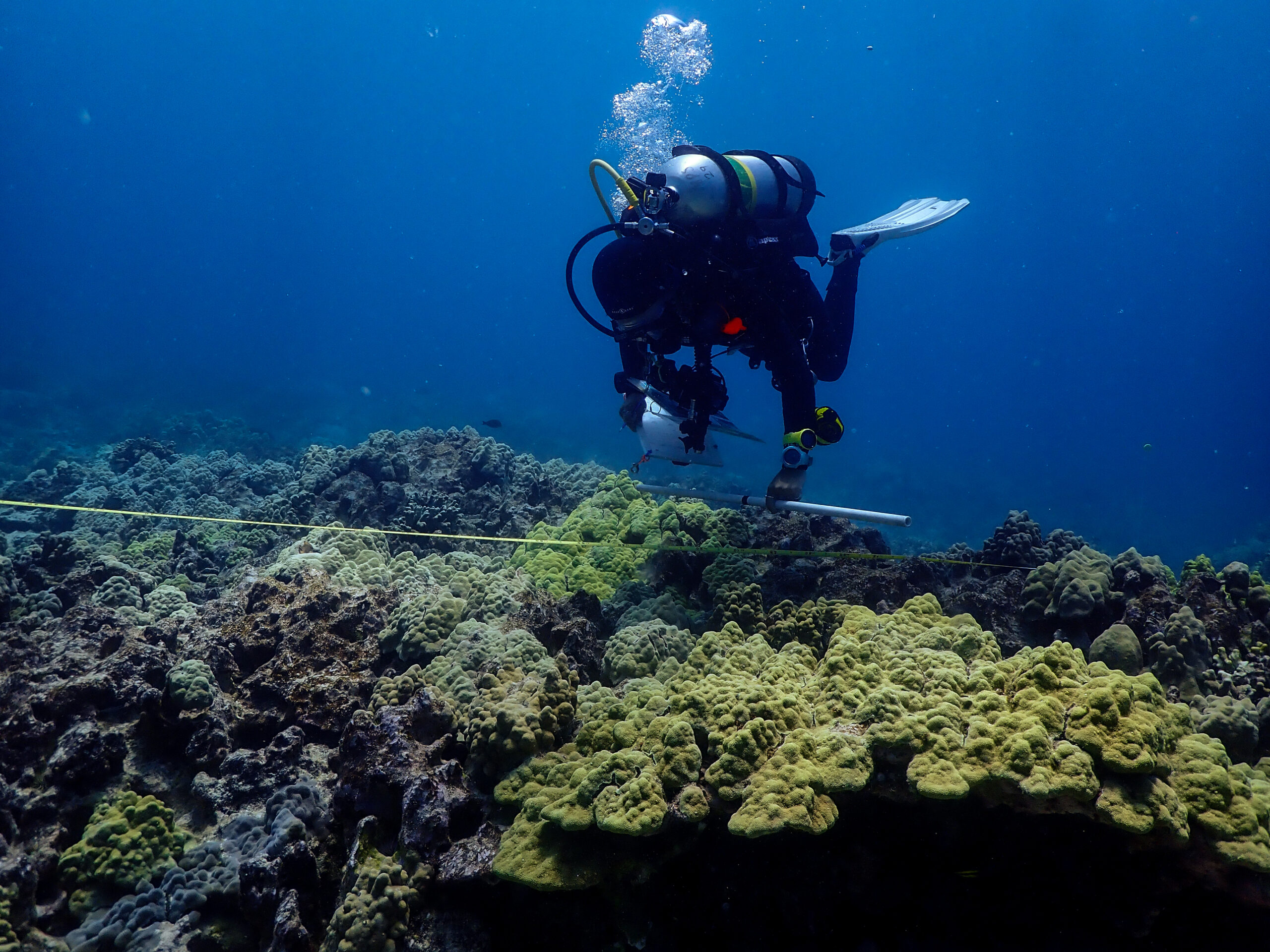
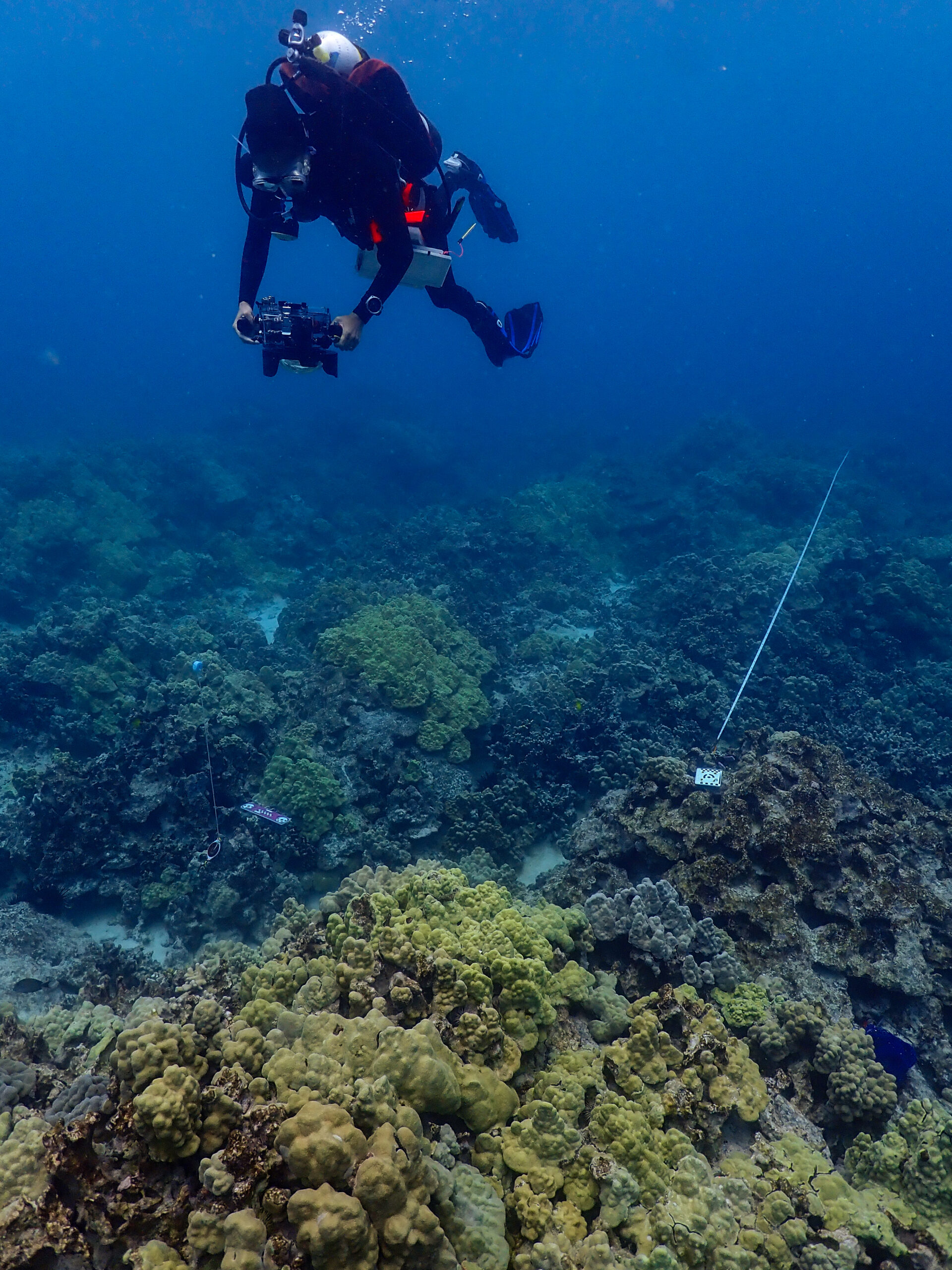
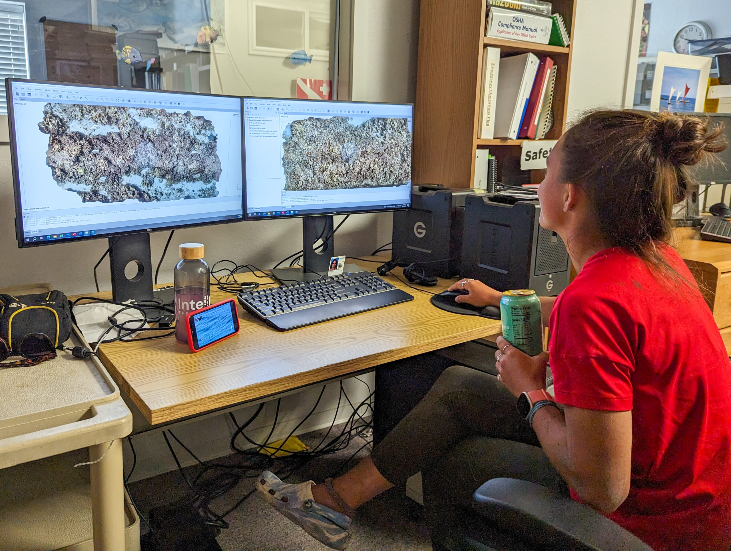
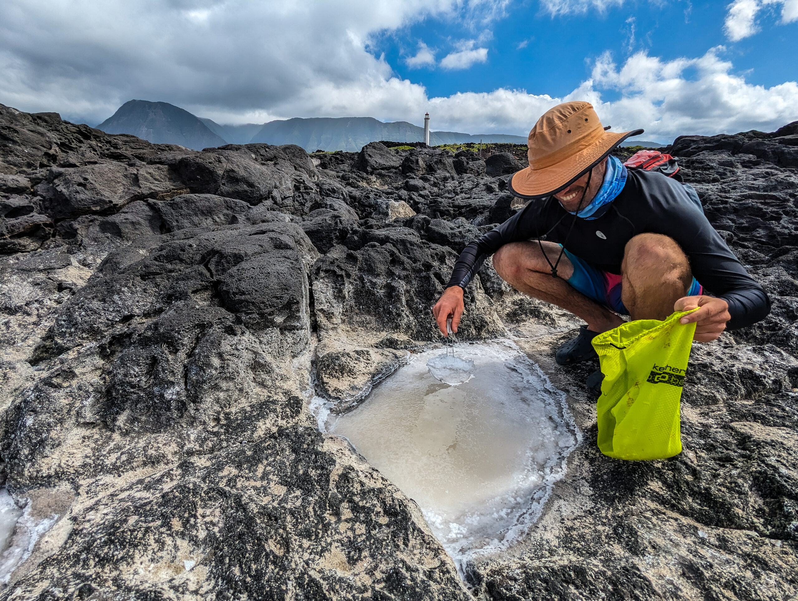
I am so excited for the rest of my internship when we begin to assist in ongoing research projects here in Anacortes!