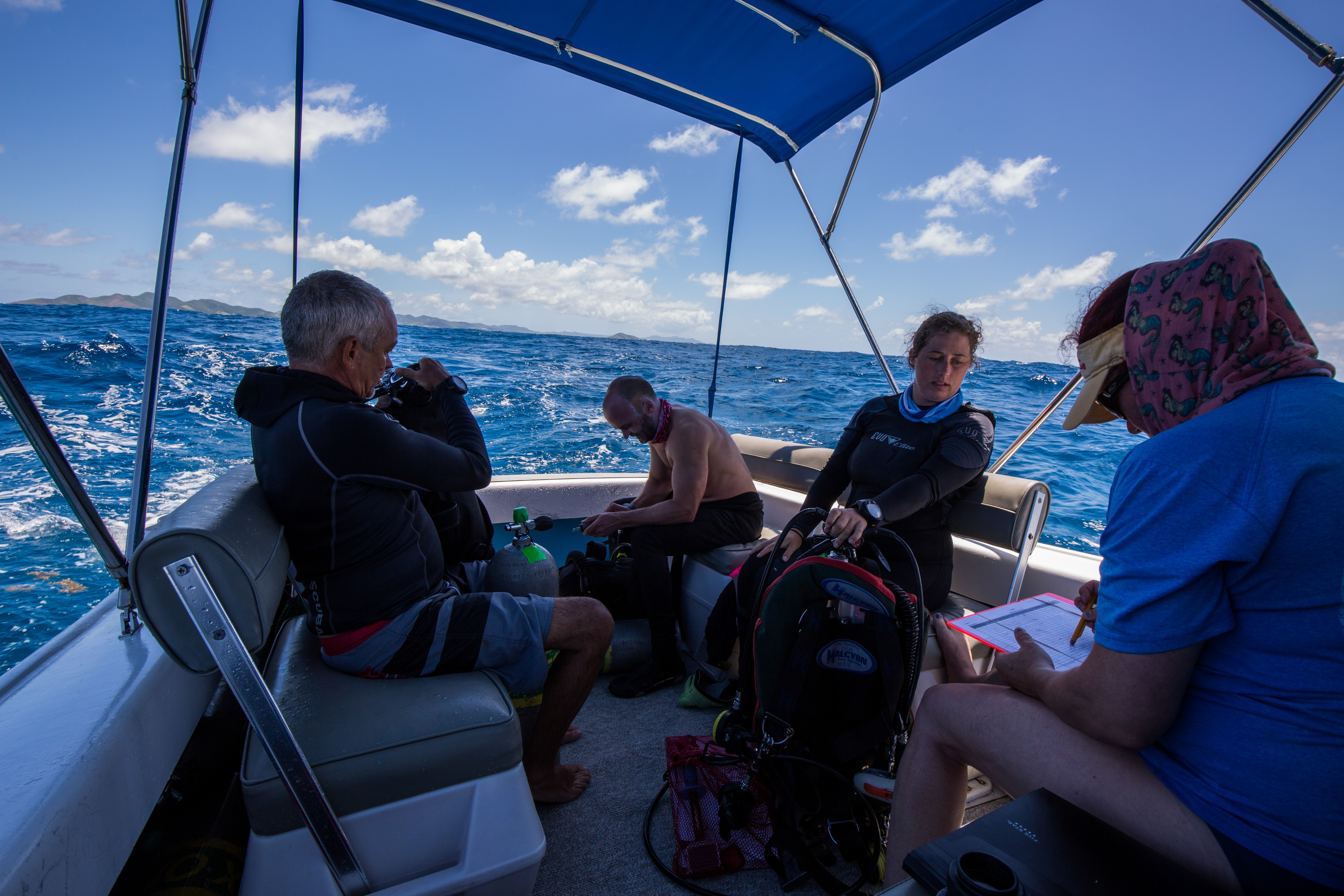
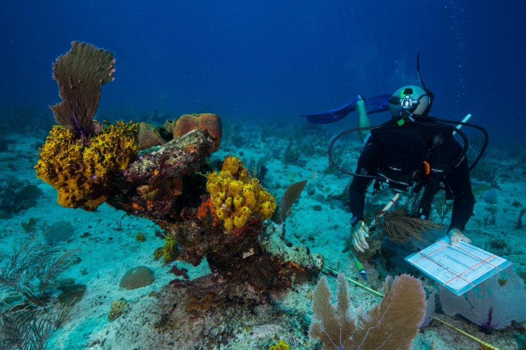
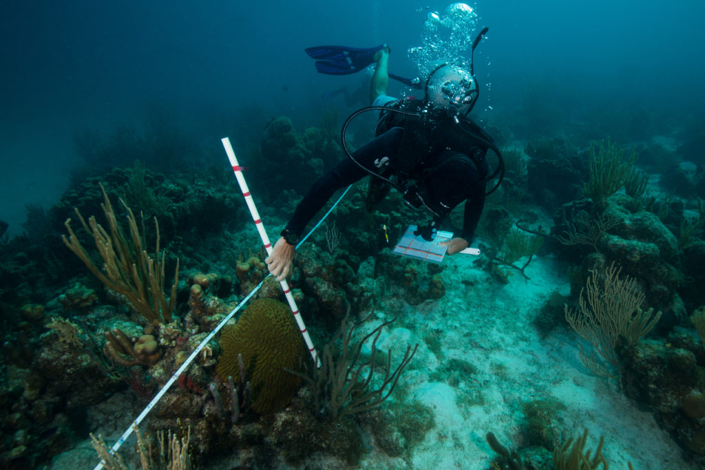
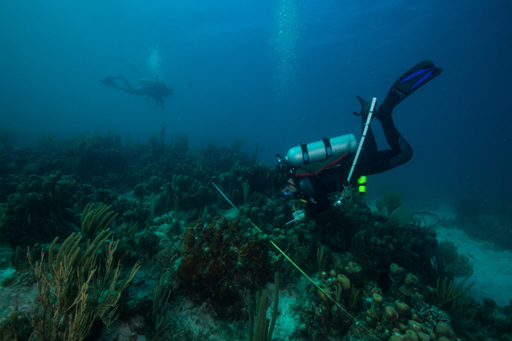
Turtley Amazing Trip to El Pardito, Mexico

Over the past few weeks, I’ve had the chance to help on a wide variety of research projects that took place on and around the beautiful island of El Pardito. But before I get into the extraordinary stories of the sunsets, hikes, and inspiring research. I must explain how we got there …

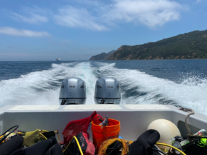
The first segment of the research trip to Mexico consisted of waking up at 3am to go from San Jose Airport to San Diego Airport, then an Uber ride to the border, then a flight from Tijuana to La Paz, Mexico, arriving promptly at our destination at 3pm. This frantic travel time was 100% worth it. The next day we took a few boats to the barren rock island (to be correct, there is actually 1 cactus on the island), El Pardito. The crew on this research trip consisted of a few faculty and their graduate students from UCSC, a graduate student from UCSD, a turtle researcher from Costa Rica, an assisting researcher from Mexico, and myself.

Isla El Pardito, home to incredible fishermen and their families. (Image: Pinterest)

Sunset in La Paz

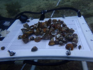
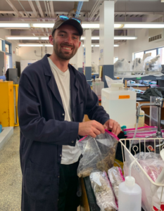
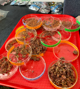
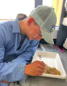
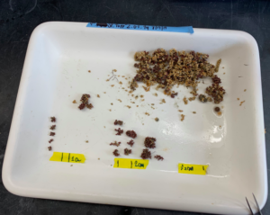
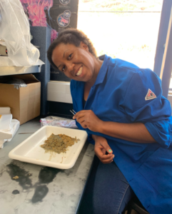
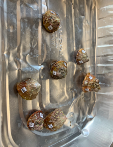
The first research project that I assisted on was focused on potential turtle food found in riverine mangrove habitat in the San Jose Estero (estuary). Our team (Unofficial Team Name: Dive Goddesses) identified and collected 100 samples (approx. 10 of each species) of sponges, tunicates, and vegetation within the Estero via snorkel. After collection, the goal was to run isotope analysis on all the samples so we had to dry them out. We made small boats out of aluminum foil for cleaned samples to dry in the sun. We not only learned several species identifications but also perfected our aluminum foil origami skills.

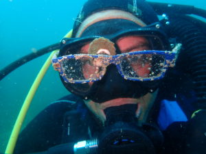
Myself and Andrea Paz

Myself, navigating with a GPS (Photo: Dorota Szuta)

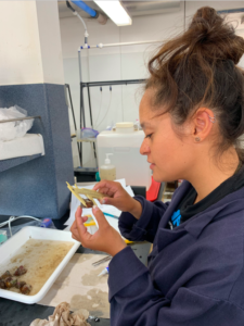
Once all the samples were dried and put in their respective vials, the next project started: Benthic Biomass! Our team went back out into the Estero to weigh biomass of the invertebrates that grow on mangrove shoots. My main role was navigator, and I also helped with scraping the organisms from the shoots, removing water from the contents (cowboy with a rope-style), and weighing them. The lovely Dorota Szuta who is a sponge and tunicate expert identified organisms, recorded the data, and brought the shoots to the boat, which was the MVP, the heart and the brain to the project. We finished sites on the main channel, lagoon, and side channels in one day!

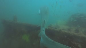
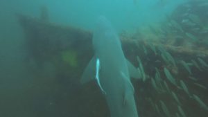
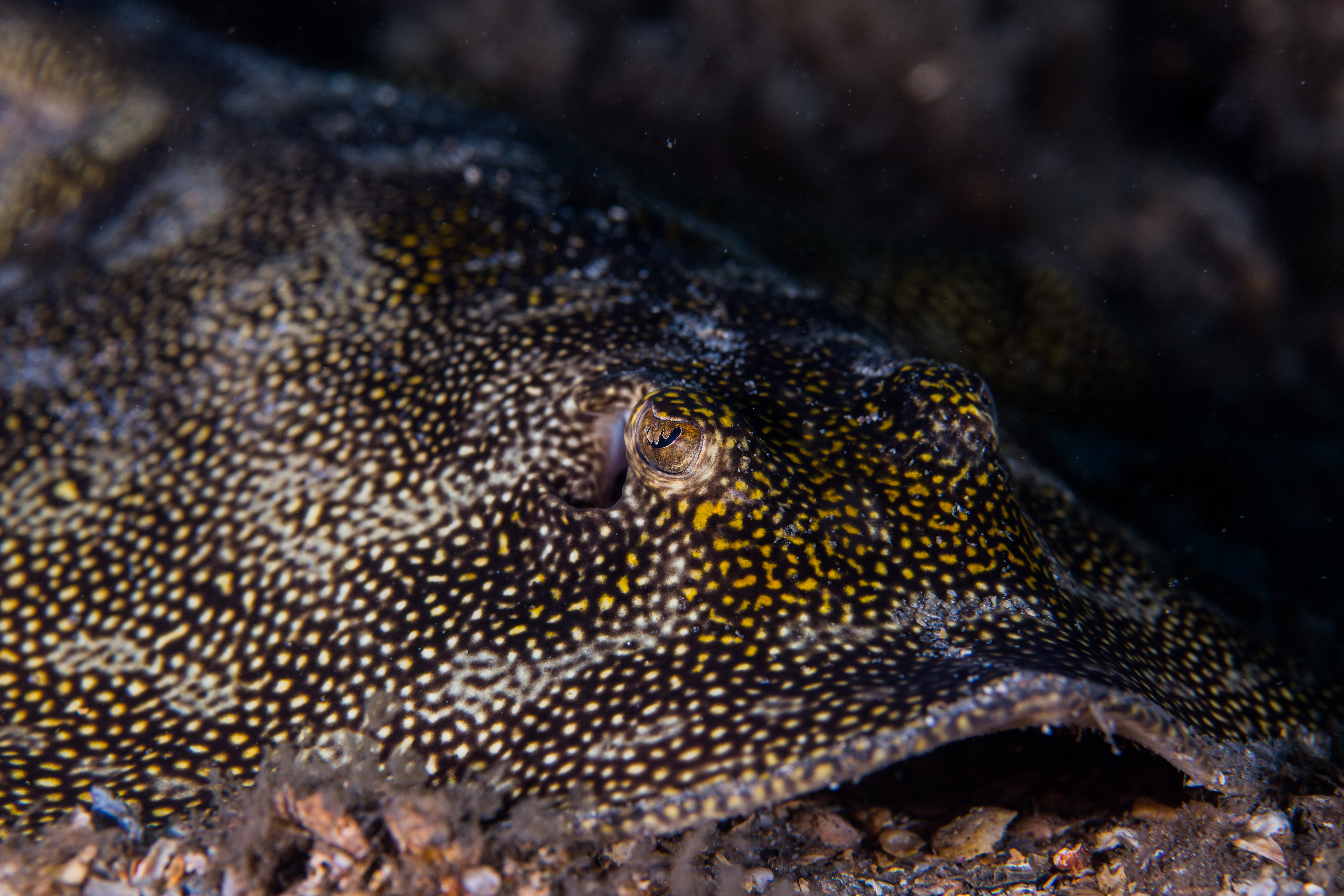
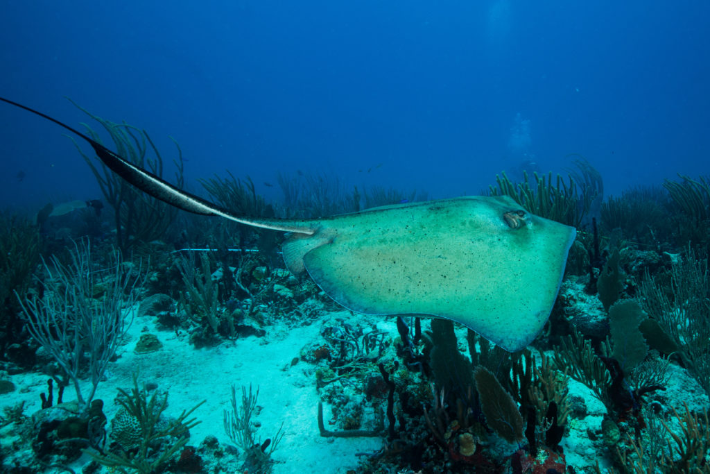
Cortez Stingray cruising along the bottom of the sand

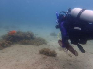
Next project: Fish Surveys. Again we traveled within the Estero, we learned new species, and made a species identification PowerPoint, but one thing was different – no origami. Also a few of us on the team dived in shallow water to survey the fish. We learned different species of grunt, snapper, stingray, parrotfish, wrasse, damselfish, and more!

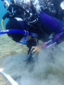
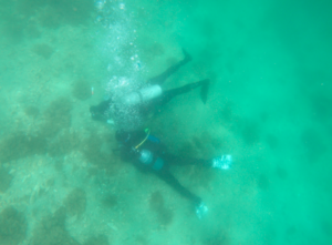
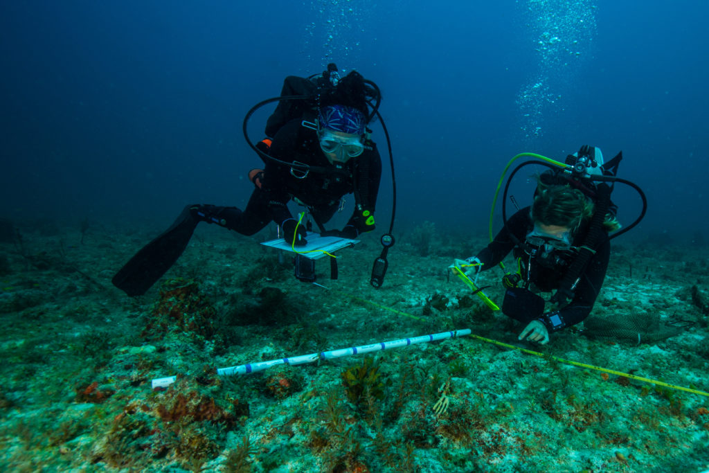
There were other tasks done that related to other projects. For example, Diana Steller and I dived to put in receivers for the turtle tagging project in a non-planned matching wetsuit, hat, and shirt. This was my first dive in Mexico and my first time working underwater with a receiver. The dive consisted of finding the GPS point of the old receiver, dropping cinder blocks with chains attached, descending to attach the receiver to the cinder block. For the second receiver, we used a screw anchor which involved kneeling on the sand and twisting a metal bar into the sand in order to attach the receiver. We also had an audience: a three-banded butterflyfish that took residence in between the cinderblocks.

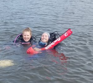
Diana Steller and myself about to go on our dive to plant new turtle receivers (Photo: Dorota Szuta)

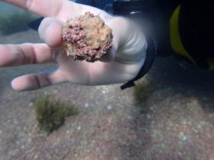
A sentence that I never expected to say is “I went diving for turtle poop”. Before this trip, I never thought about what turtle poop looked like. Here’s some turtle poop history: one component of this ongoing turtle project is to find out where the turtles spend most of their time and what they eat, since Hawksbill sea turtles are Critically Endangered and they are the most threatened out of all turtle species. In the past, researchers that came to El Pardito would put cameras on the turtles to track what they ate and their interactions. But it was hard to see exactly what they wanted to consume. Years ago, Diana and her past graduate student, Dorota found poop (which they thought was human at the time) that had green specks of algae, tunicate, and other benthic life. It was the perfect opportunity to find out what these turtles consume!

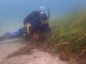
Flash forward to now: myself and others had our faces a foot above the sand scanning for turtle poop. There have been 13 poops found in the past, and after about three dives/snorkel trips, we, unfortunately, found 0. There was one potential poop that Dorota and myself collected but it disintegrated.

Sunset from El Pardito (Photo:Kelly Zilliacus)

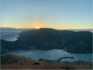
On a happier and non-poop-related note, El Pardito and the neighboring islands were home to the most amazing sunsets and star gazing. Luckily while we were there, we went as a group to hike, explore, and watch the full moonrise at a nearby island. The views were breathtaking (I may have also been out of breath from running up the hill to catch pictures of the sunset from the top).

Sunset from the top of a hill on a nearby island.

Besides the Turtle projects, there was a project focused on the Manta Rays. Two wonderful scientists, Melissa, a Ph.D. student from UCSC and Nerea, who was working on her postdoc, worked very hard to retrieve drone footage of the rays.

Melissa and Nerea prepping the drone to capture manta ray footage

My view of the manta rays, swimming below and around the boat

Although I didn’t directly help with their project, they let me go with them to watch them in action. It was very exciting to see them work together to find big groups of rays and follow them with the drone. This involved Nerea watching the screen (under a towel) and Melissa driving the drone. They got amazing videos of the manta rays while I watched the water looking for manta ray splashes.

I want to also give a shout out to the 2019 Our World-Underwater Scholarship Society interns. I am incredibly proud to be in the same cohort of interns and excited to share experiences with them and the OWUSS family.

2019 OWUSS Interns (Left to right): Ben Farmer (REEF Marine Conservation Intern), Liza Hasan (AAUS Mitchell Scientific Diving Research Intern), myself, Michael Langhans (National Park Service Intern) and Abbey Dias ( DAN Diver’s Safety Education Intern)

I am so grateful that I had the chance to go on this research trip and I look forward to helping with other research and dive here in California.

A photogenic bunny at the La Paz Serpentarium

Bonus content: Some of us visited the La Paz Serpentarium where we got to see snakes, birds, alligators, foxes, and feed some guinea pigs and rabbits.

Share

The Omnipresent Divers Alert Network

Whether you are new to scuba diving or an experienced scuba instructor, you’ve probably heard “DAN” mentioned more than a few times.

Most of us know that DAN plays an important role in dive safety, probably from purchasing some form of dive insurance from them throughout the years. One of the best-known perks of DAN is the 24-hour availability to speak with dive medical specialists (For DAN’s emergency hotline: +1 (919) 684-9111).

But DAN is much more than answering phones and dive insurance! It wasn’t until I walked through the doors of the headquarters that I began to understand the true scope of its services. DAN is a global leader in dive safety education, research, products, and services like providing emergency medical assistance — and not just limited to diving!

Figure 1. Patty Seery, Director of Training at DAN and PADI Course Director, Jim Gunderson, Assistant Director of Training at DAN and NAUI Course Director Trainer.

This summer, I am the 2019 OWUSS/DAN Dive Safety Education Intern working with Patty Seery and Jim Gunderson. Like Patty and Jim, the many people I have met here at DAN are incredibly passionate about dive safety and accident prevention through education. From the medical professionals to the masters of IT, everyone plays an important role in making DAN accessible to divers across the world. I started my time here meeting with the head of each department: research, communications (including writers of Alert Diver), marketing, insurance, membership, IT, warehouse, and risk mitigation. DAN requires all the essential elements like any company, including marketing devices, a mail room, and lots of Krispy Kreme doughnuts.

Since a large goal of DAN is safety education, my work this summer involves revisions to DAN’s first aid courses for international utilization. Because DAN is a globally recognized organization, it is important that all materials continue to match guidelines for first aid in different countries and are understandable, accessible, and inclusive to partners across the world.

Aside from my position, DAN offers summer research internships. I had the opportunity to serve as a practice patient for their studies.

Figure 2. My heart! Frauke Tillmans, Ph.D., using an echocardiogram. Research interns are practicing using these procedures as part of their studies to look at bubbling in divers.

Although we work hard in the office, we like to have fun outside, too. On the weekends, the best place to find me is underwater.

Figure 3. DAN crew diving at Blanch quarry. From left to right: Hannah DeWitt, Tess Helfrich, Caitlyn Ruskell, Jim Gunderson, Andrea Filozof, Frauke Tillmans, Alex Romfoe, Chloe Strauss, George Anderson, Abbey Dias (me), Shelli Wright. Interns testing out waterproof EKG leads during the dive for research.

I am looking forward to helping make our dive community increasingly safer and more accessible to people across the world!

Figure 4. Me, feeling like a saltwater fish in freshwater, learning to be euryhaline at Fantasy Lake (NC). Photo by Tess Helfrich.

Share

A Return to Home – REEF [1]

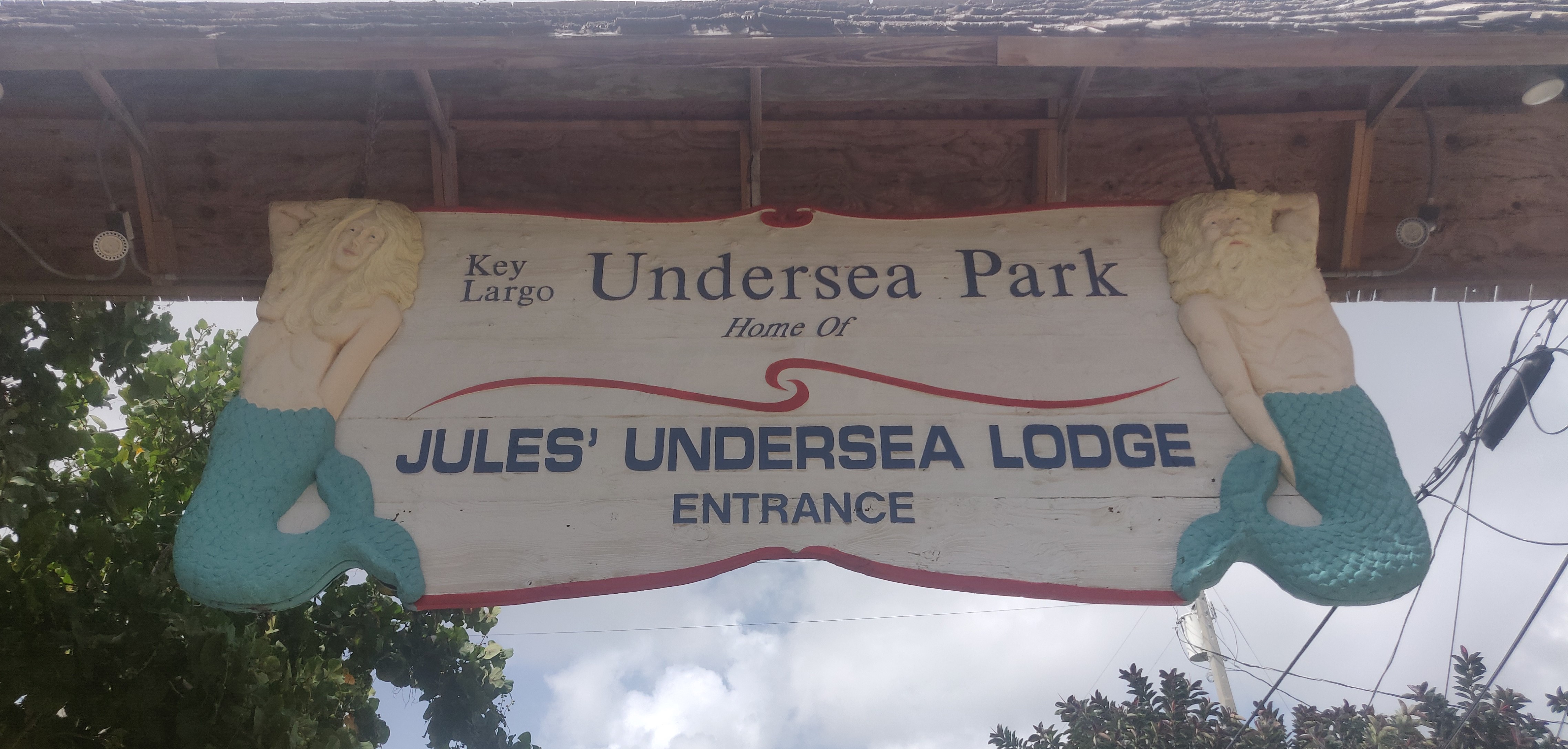
My arrival in Key Largo two weeks ago in many ways felt like a return to home. As a junior at the University of Kentucky, I studied abroad in Bonaire where I fell in love with the vibrant coral reefs ringing the small island. Since then I have been looking for ways to return to the tropics, and the Keys get pretty close. Lying just a few degrees above the Tropic of Cancer, Key Largo is by definition subtropical but has many of the same fish and invertebrates I spent countless hours studying in Bonaire. Here with my fellow interns and the staff at Reef Environmental Education Foundation (REEF) as the Dr. Jamie L King Marine Conservation Intern, I have had the chance to view this underwater world through the earnest lens of a nonprofit.

2019 REEF Interns, left to right: Matt, Ben (me), Stacey, Kate. This was taken right before our first fish survey dives, with Rainbow Reef Dive Center. We saw a school of midnight parrotfish and several huge rainbow parrotfishes on one of our first days down here!

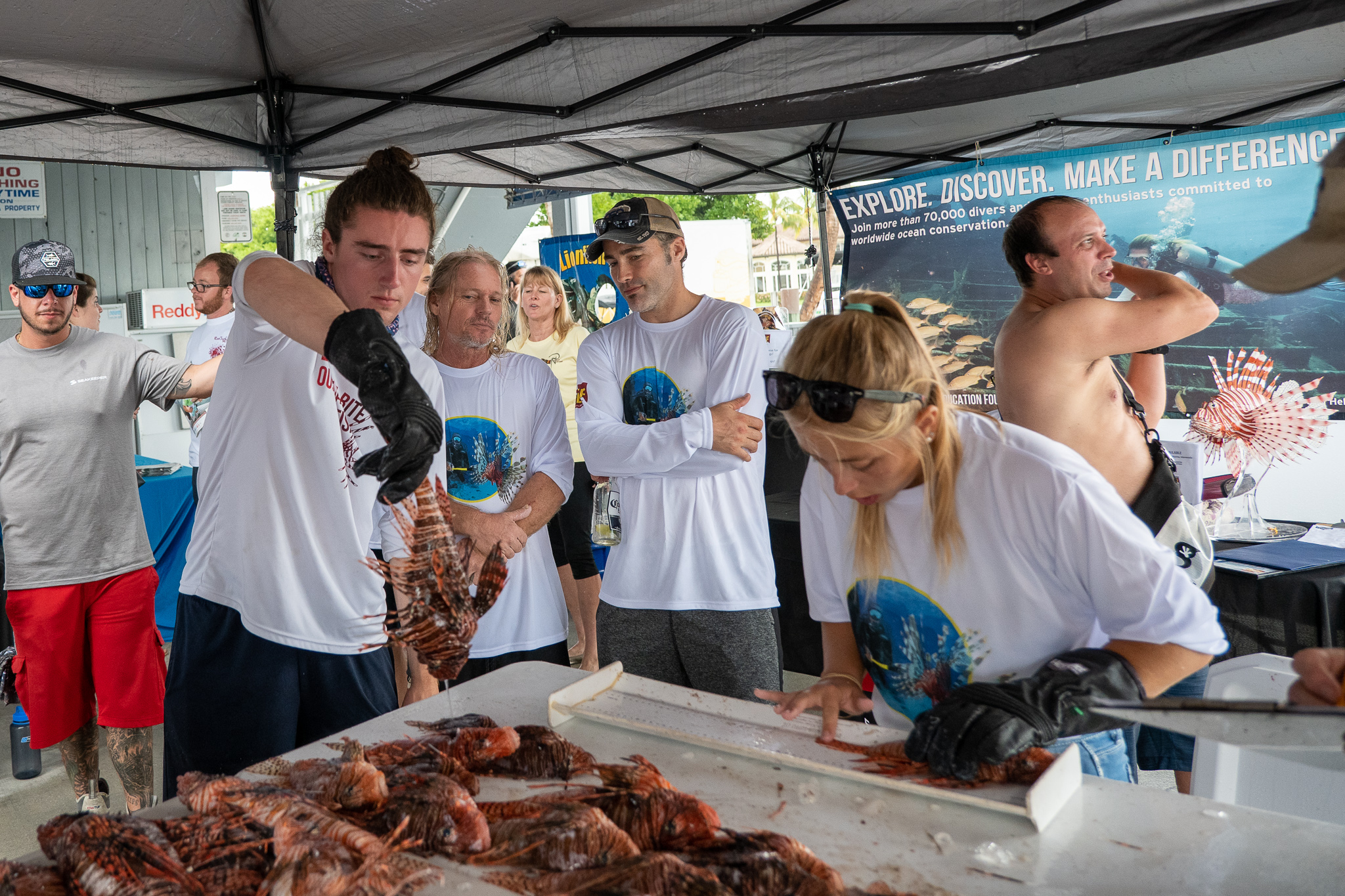
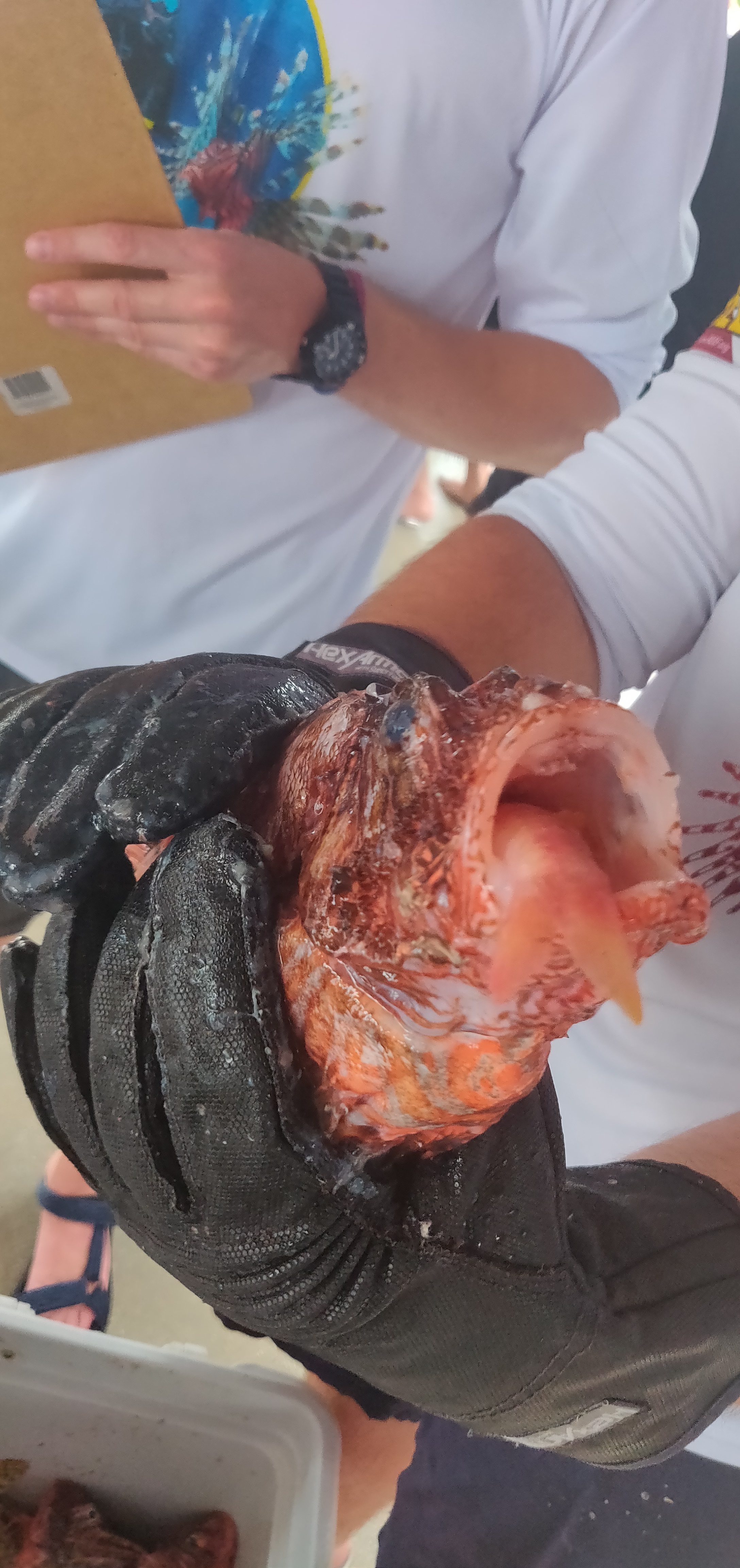
My time so far this summer has largely been split between three main avenues: working in and around REEF Headquarters; contributing to the Volunteer Fish Survey Project; and developing career skills such as my Divemaster certification. In the short time since my arrival, I have done everything from helping set up an aquarium tank for showcasing invasive lionfish, to diving with a group of spotted eagle rays on the local barrier reef, to swimming with manatees. While I have not gone diving every day, the office work that fills in the time between has been truly rewarding. Being an intern means being the face of REEF, in that many of REEF’s Volunteer Fish Surveyors never interact with any staff members in person. The organization has its roots in Key Largo, yet is truly global. While my interest as late has been in the Tropical Western Atlantic (TWA) region, there are databases for several other major regions throughout the world that volunteers collect and submit valuable fish sighting and abundance data. I am happy to have started a project creating TWA fish identification practice quizzes to help prepare intrepid surveyors for identifying fish on dives, and I plan to work on other regions such as the Pacific Northwest.

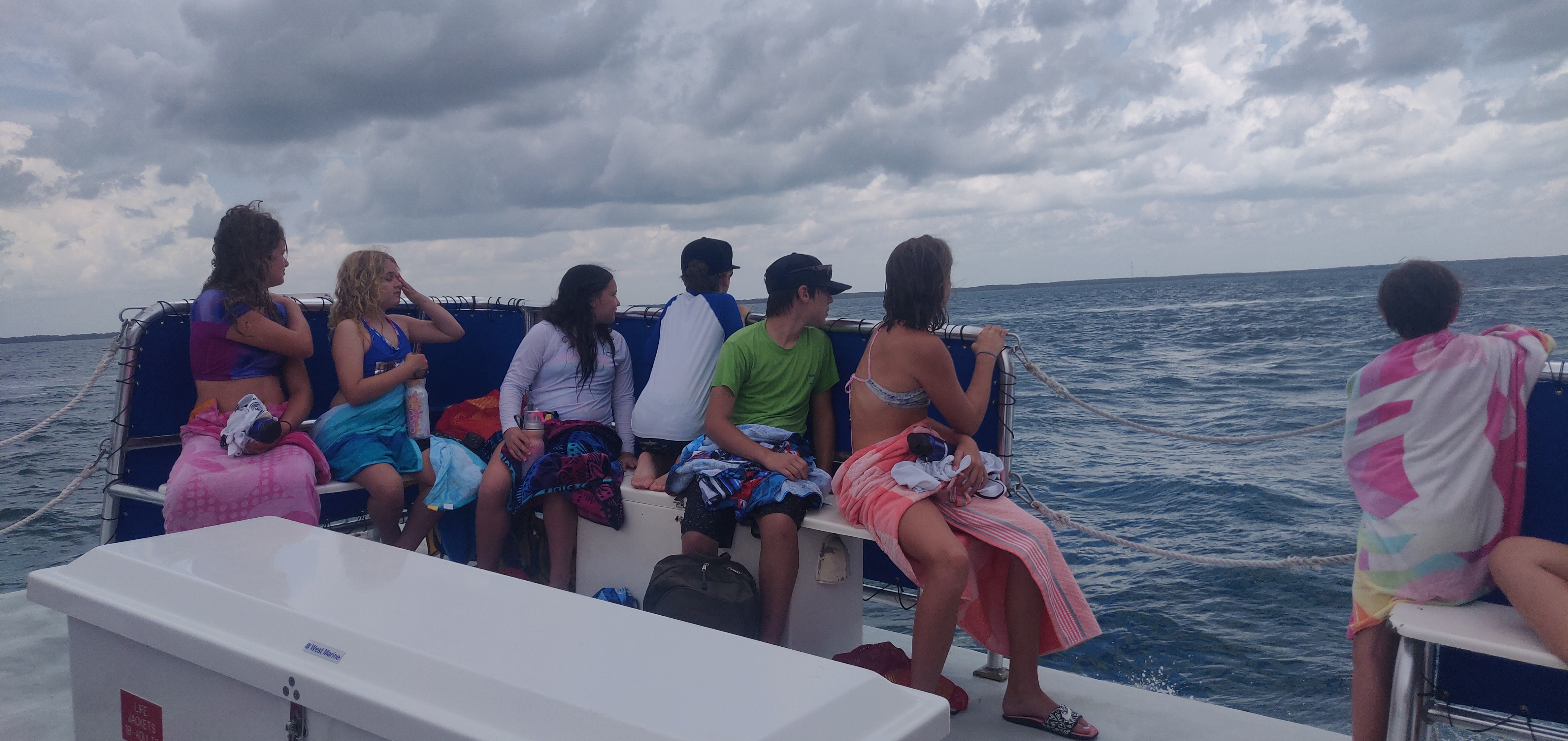
Our second week here, the interns were given a tour of MarineLab, a marine science education center in Key Largo. By a stroke of luck we were able to snorkel with a small group of manatees. Pictured here was a very curious baby!

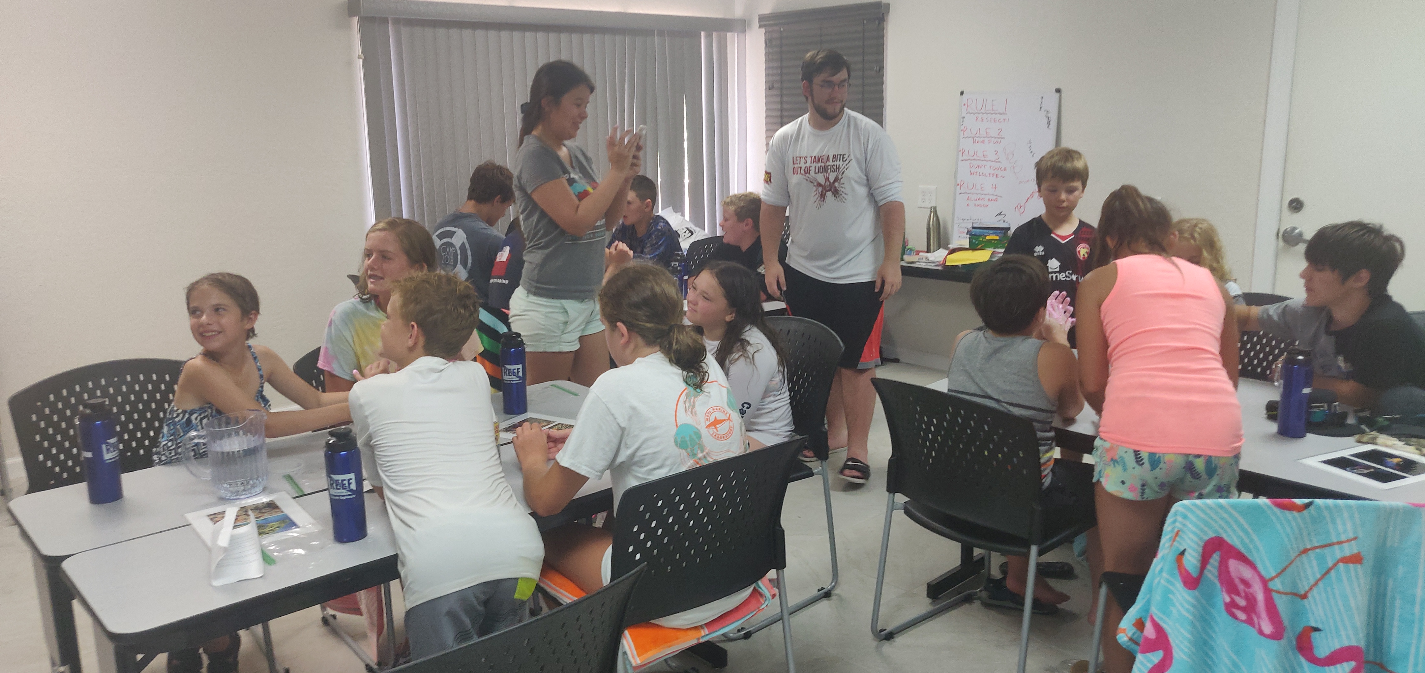
Just as exciting as REEF’s global reach, however, are the times that we are able to interact with the local community. While I have not had much involvement with education catered to a younger crowd in the past, being able to present on the ecology of the Florida Keys to middle school students recently made my day. I certainly see science as my career path, but I am also committed to making  science accessible. REEF has offered me a great opportunity to develop this skill, and I look forward to outreach/education events in the future. Lionfish derbies are a great example, so stay tuned!

This was an amazing moment on World Ocean’s day, when we contributed to Coral Restoration Foundation’s Coralpalooza event. Families and their kids visited the Interpretive Center at REEF to do fish “surveys,” and this kid in particular was very excited about identifying the Nassau grouper.

A large part of what has enabled me to reach this point as an Our World Underwater Intern has been gaining SCUBA certifications. Acquiring my Rescue and AAUS Scientific certifications while in Bonaire was instrumental in pushing my career forward in marine research, and the next step for me is achieving my Divemaster. One of the best things about REEF so far has been its absolute commitment to furthering its interns’ careers through both networking opportunities and providing access to diving. Both initiatives have helped me work with a dive shop in Islamorada called Key Dives, which will be training me to be a Divemaster throughout the summer. I am so privileged to be in this position, and I look forward to honing my dive skills in order to be a better scientist and instructor in the future.

This is a Yellow Stingray, an exciting sight in the Keys. I somehow missed a 15-ft sawfish on the dive prior, but seeing this beautiful ray undulating through the water made up for it.

Share

From the Intertidal to the Kelp Forests

Over the past few weeks I’ve had the opportunity to assist with a plethora of different projects. Two of these projects are Gulf Watch Alaska and NaGISA. Gulf Watch Alaska aims to provide scientific data on the status of the marine environment since the Exxon Valdez oil spill and informs environmental management in the Gulf of Alaska (https://gulfwatchalaska.org/). Many groups have teamed up to collect data throughout the Gulf of Alaska, and the Konar group contributes to this effort by sampling in Kachemak Bay.

Our sampling consisted of surveys conducted on mussels, the low, mid, and high intertidal community, clams, and seagrass beds. We surveyed sites all across Kachemak Bay from the oceanic Port Graham at the base of the bay to the glacially influence estuarine site of Bear Cove at the head of the bay. This made for a week of experiencing the great variety of marine habitats in Kachemak Bay, learning various different sampling protocol, and sampling at many beautiful locations.

View from Bishops Beach rocky intertidal sampling site near Homer, AK.

While intertidal sampling meant time out of the water, it allowed me to gain a better understanding of rocky and soft intertidal ecosystems. Through percent cover surveys and sorting samples in the lab, I’ve become familiar with my intertidal algae and invertebrate species. It’s amazing how many different species of algae there are and how much the community can change throughout the intertidal zone.

Rocky intertidal sampling for percent cover at Cohen Island.

The seagrass beds required trips to different sites since they are part of soft sediment habitats. Lucky for me, this meant more boat rides with fantastic views of Kachemak Bay. Not to mention the beauty of the sampling sites themselves! At the seagrass beds, we measured percent cover and the dimensions of the bed. Where the dimensions were far too large to be measured with a transect tape, we marked coordinates of the bounding corners. The seagrass bed at the site aptly named Mud Flat was so large that I made it out to the low tide mark; it felt like I was walking out to sea! I might have gotten a bit stuck in the mud, but that just meant more time to appreciate the seagrass and mountain views.

Coming back from measuring the seagrass bed width. Photo by Brenda Konar

With the efforts of a great team, we successfully completed the Gulf Watch Alaska sampling. The week was full of learning and fun with a big group of amazing individuals!

Gulf Watch Alaska 2019 Kachemak Bay team.

Now back to the water with NaGISA! NaGISA is the Natural Geography in Shore Areas project that aimed to measure biodiversity in near-shore habitats and how they change over time. From 2000-2010, this project was conducted across a longitudinal and latitudinal gradient to capture changes in biodiversity around the world. Although the project has ended, the Konar Lab continues to sample high latitude macroalgal habitats for long-term monitoring. This was an extremely exciting experience for me because I was able to dive my first kelp forest! Then I was able to dive another four kelp forests to make our five sampling sites.

Preparing for a dive at Outside Beach near Seldovia, AK. Photo by Emily Williamson

These dives were both interesting and challenging in that sampling required being surrounded by kelp. Sampling consisted of clearing the kelp and invertebrates within 50 by 50 centimeter quadrats, which meant that we had to get to the holdfast of the kelp in order to remove it. Now I can add “how to remove a branching holdfast” and “the best way to remove a chiton” to my research diving skill set! Visibility was also a challenge that varied based on the site. At more glaciated sites, the visibility decreases due to glacial sediment entering the water.

Practicing drysuit buoyancy skills before sampling. Photo by Brenda Konar

I have learned countless skills over the past few weeks and worked at sites from seagrass to under the sea. Being a part of various projects has kept me busy with field and lab work, but I always remember to take the time to soak in the beauty of working in Alaska and how much I have grown as a scientist. Each and every site I have been to have been incredibly beautiful in their own way from booming mountains to adorable baby sea stars hiding between the rocks. I find it import in life and ecology to appreciate the little things, like watching a tiny barnacle filter food from the big bad ocean. At the end of each day, I make sure to look at the sunset and take a few breaths thinking about how grateful I am to be spending this summer at the Kasitsna Bay Lab. Thank you to OWUSS and Brenda Konar for giving me the opportunity of a lifetime!
One of many amazing sunsets around 11pm. So much daylight!

The resident otter in Kasitsna Bay snacking on a clam. Photo by Emily Williamson

Share

On February 13th I got one of the most exciting emails I’d ever received: the one breaking the news that I had been chosen as the 2019 Our World-Underwater Scholarship Society Research Intern with the National Park Service. After a few minutes of jumping around in excitement, I composed myself and calmly replied that yes, I would be absolutely delighted to accept this internship. And that’s where this all began.

A little background on myself: I had graduated from University of California, Santa Cruz the past summer  with a bachelor’s degree in marine biology. At UCSC, I was able to really start to explore how I could interact with and learn about the underwater world and coastal environments. I was lucky to spend four years learning about a plethora of marine science with some really incredible professors: from invertebrate zoology, to the biology of marine mammals, to the ecology of kelp forests.  I furthered my diving career with an AAUS scientific diving certification, allowing me to take my diving past recreational and into the realm of science! This certification opened many doors for me – with it I was able to enroll in two field quarters, conducting ecological research in the kelp forests of Monterey and Southeast Alaska, as well as spending two seasons doing biological surveys on kelp forests inside California’s network of Marine Protected Areas with the UCSC branch of PISCO subtidal (a long term monitoring program of nearshore ecosystems along the Pacific coast).
My local Californian kelp forests!

Along with diving for science, I’ve been lucky enough to get in a good amount of recreational dives throughout my time at university.  Close proximity to great diving and a drive to get underwater as often as I could allowed me to spend a lot of time exploring the kelp forests of the Monterey Bay area for pleasure and doing one of my favorite things: underwater photography. I’ve been diving with a camera of some shape or form ever since my very first couple dives with a head-mounted GoPro, but eventually worked my way up to a housed DSLR system about halfway through my junior year at university. Shooting underwater with this has become one of my biggest passions and something that I’m thankful that I’ve been able to dedicate a lot of time to over the past couple years.

My favorite camera and I enjoying a dive in Big Sur CA (Photo: Marc Shargel)

Jump forward two months to early April, to the Our World Underwater Scholarship Society annual meeting in New York City. Designed as a way for friends and society members to meet and catch up and for scholars and interns of the previous year to share their adventures, this weekend was a whirlwind of introductions and events. The Society is filled with a plethora of talented and distinguished marine conservationists, explorers, researchers, photographers, and enthusiasts and it was an incredible experience to be able to mingle and meet with such a diverse group of individuals. The weekend included a morning of presentations from the 2018 class of scholars and interns at the Explorer’s Club headquarters in Manhattan, an inspirational couple hours of learning what these driven young people had been up to throughout the course of their scholarship year/internship. The morning concluded with inductions into the Explorer’s Club for the 2019 class – what an incredibly surreal experience it was to join such a distinguished organization for scientific exploration, something I still haven’t really gotten over.

2019 OWUSS Interns (Left to right): Ben Farmer (REEF Marine Conservation Intern), Liza Hasan ( AAUS Mitchell Scientific Diving Research Intern), Kyra Jean Cipolla (Dr. Lee H. Somers AAUS Scientific Diving Intern), myself, and Abbey Dias ( DAN Diver’s Safety Education Intern)

Roughly one month after that, on May 12th, I flew out to Denver Colorado to spend a week at the headquarters of the Submerged Resources Center (SRC). The SRC is a group of archaeologists, photographers, and diving experts who make up one of the Parks Services’ most elite diving teams. They are also, luckily for me, my sponsors for the internship. I was to spend a week with them at their offices in Lakewood, CO to get oriented for the summer and get all of my NPS paperwork in line – physicals, dive checkouts, liability waivers and such. After flying in at 7PM and a quick dinner with my hosts for the week, Dave Conlin, archaeologist and the Chief of the SRC, and his lovely wife Michelle, I started the week running. The next morning I was introduced to the rest of the SRC crew: Brett Seymour (Deputy Chief and audio/visual extraordinaire), Steve Sellers (National Dive Safety Officer), Susanna Pershern (audio/visual expert), Matt Hanks (archaeologist), Claire Finn (Office Manager) and Jim Nimz (Diving Operations Specialist). Everyone at the SRC office was incredibly welcoming to me during my time there, and made me feel very much at home.

Entrance to the SRC Office

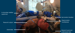
Monday brought on an exciting doctor’s visit for my NPS Blue Card certification, where I got a very thorough dive physical. After a myriad of tests, from EKGs to spirometry to chest x-rays, I was on my way back to the SRC office. I spent the rest of the day reviewing the current course of my internship with Brett, and then doing some light reading on the history of NPS diving and then a brief foray into 81 pages of dive policy and rules.

Flatiron Mountains outside Boulder CO – Some of the scenery I encountered on my commute to the SRC HQ

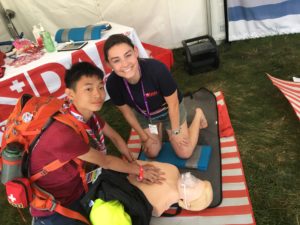
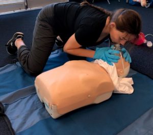
The next couple days were just as busy. Tuesday started off with a CPR/AED/first aid recertification with Jim, where we recapped the basics of first aid and CPR administration, AED usage, neurological assessments for SCUBA diving injuries, emergency O2 administration, as well as an overview of the SRC’s first aid kit and medical gear. That was followed with one of the most exciting parts of my week: the gear checkout.

SRC gear locker: pretty much all the dive gear you could ever want in one convenient location

Cylinders, compressors, and camera gear

Tools on tools

The SRC has one of the coolest gear lockers that I’ve ever laid my eyes on: a room right next to their office filled with all the dive gear you could want. Drysuits, rebreathers, cylinders, tools, cameras, DPVs – you name it. Brett and Jim gave me a quick tour of the locker and decked me out with all the dive gear I’d possible need for my travels throughout this internship, and – as I’ve heard the SRC crew say a couple times across the couple weeks I’ve spent with them, “two is one and one is none” – I was also given plenty of spares. The plethora of gear that I was given was compounded by the fact that I was to be doing diving both in the 80 degree waters of the Caribbean and the 30 degree waters of Lake Superior, so I’d be packing both warm and cold water gear. The list of gear that I was given is as follows: a BC, regs, wetsuit, wet gloves, dry gloves, glove liners (X2), wet boots (X2), hoods (X2), dive computers (X2), reel, DSMB, cutting device, Nautilus emergency tracking device, dive lights (X2), dive notebook, mask (X2), fins, drysuit undergarments (many), drysuit (X2), wet gear bag, dry gear bag, dry bag, towel, NPS hat (X2), SRC field shirts (X5), board shorts, rash guard, deck coat, and thermal liners. With this gear overload, I started to ponder the logistics of packing all of this gear up for the many flights I’d be undertaking.

My gear for the summer

After getting geared out, the next logical step was to hop in a pool and test it (and my swimming ability at altitude) out. For that, I headed down to the local pool with Steve Sellers for my NPS blue card checkout. Here we ran through some typical dive and swim tests, like a 900 yard swim and SCUBA bailout drill (jumping in the water with all your gear wrapped up in your hands and donning it underwater). Almost all of these drills I’d done before, but previously I’d been about 5200 ft lower in elevation so this was a little bit more taxing than I was used to.

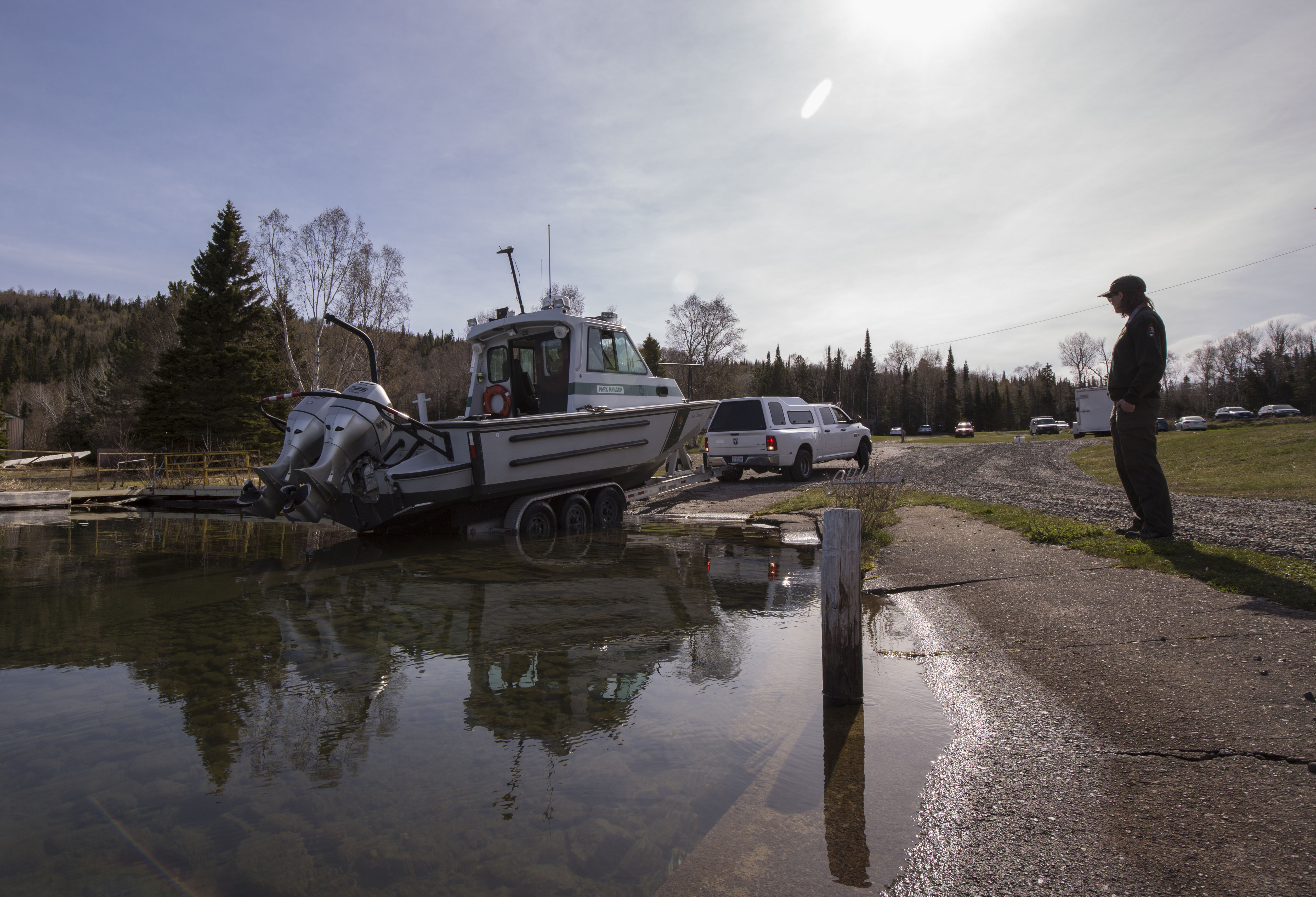
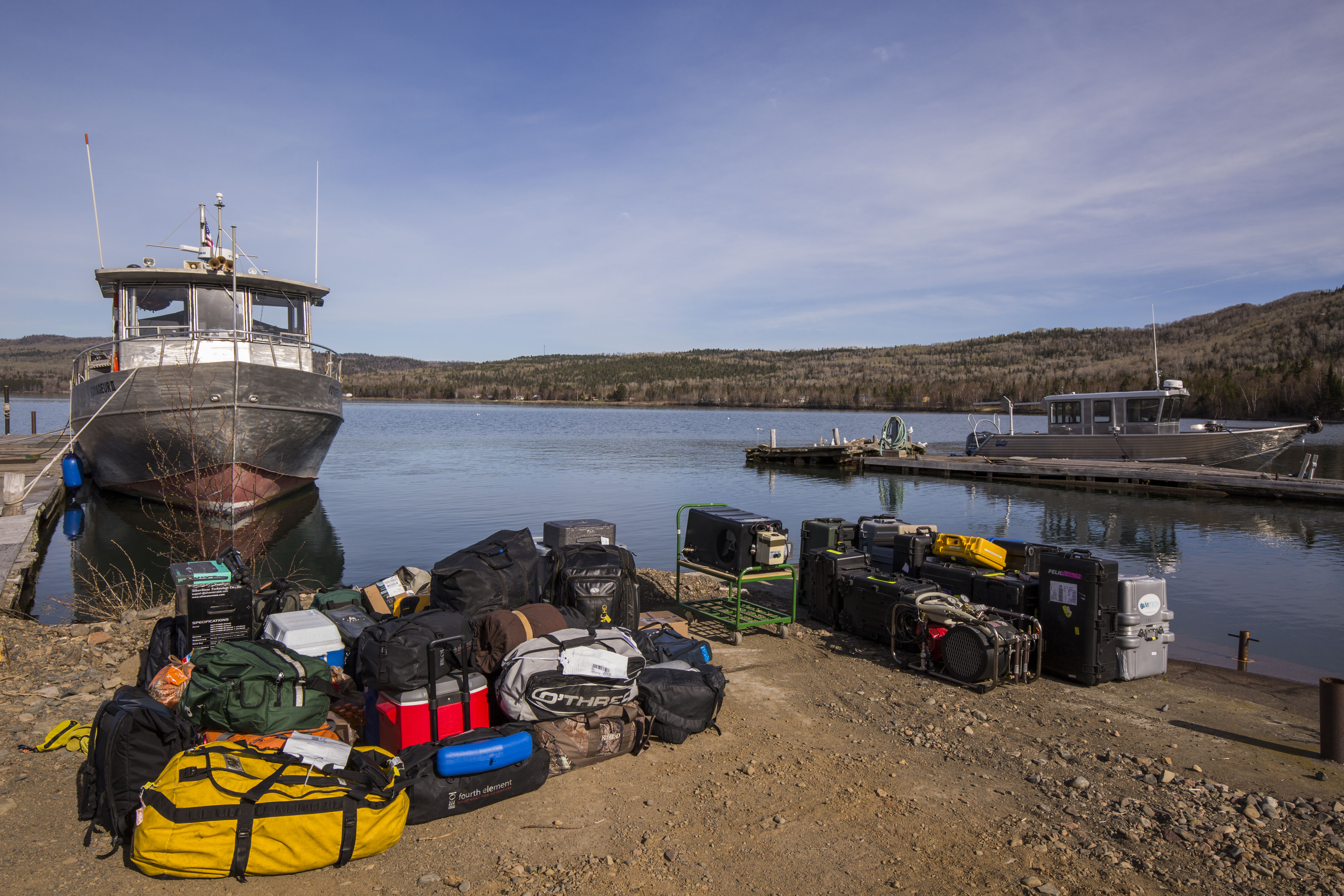
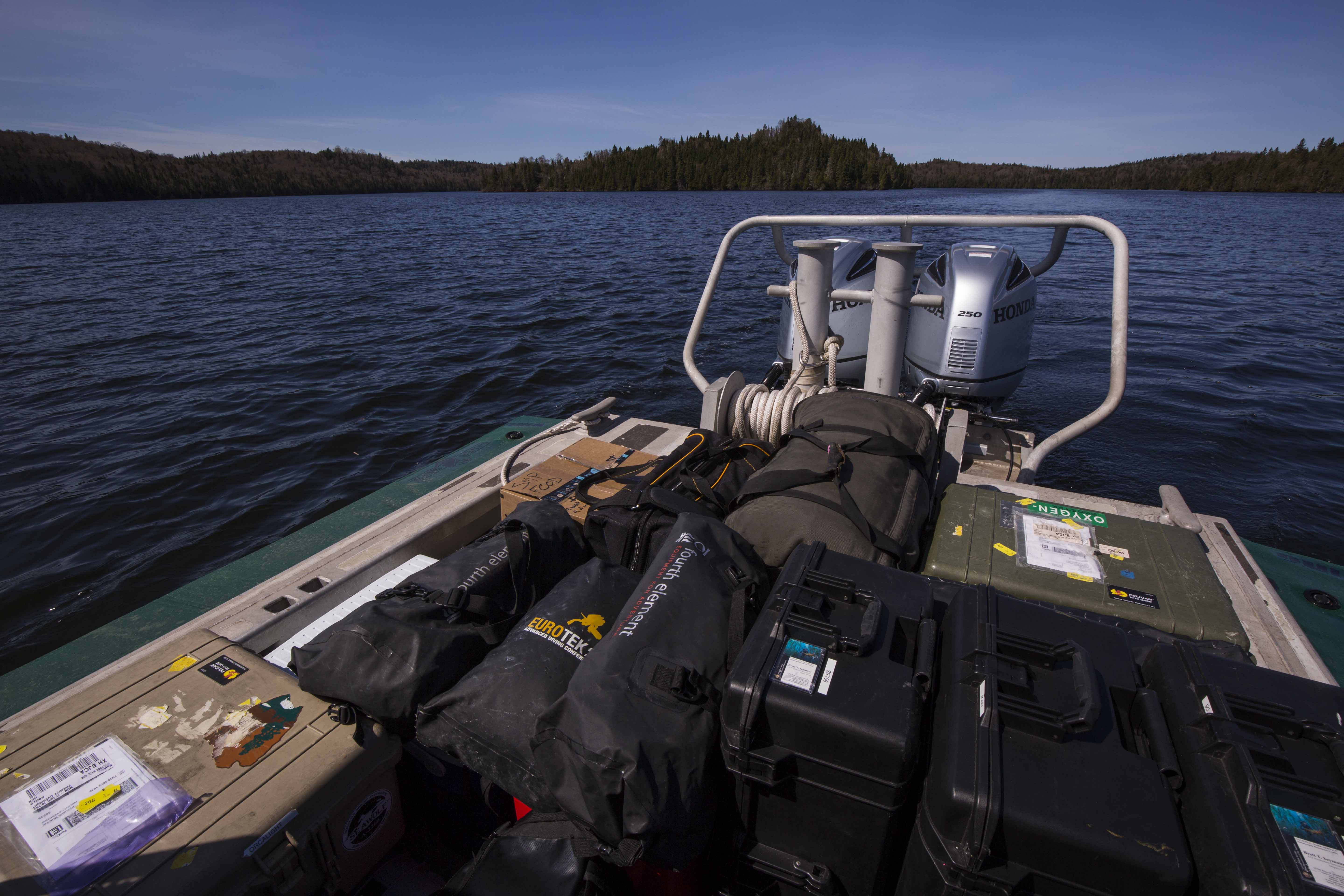
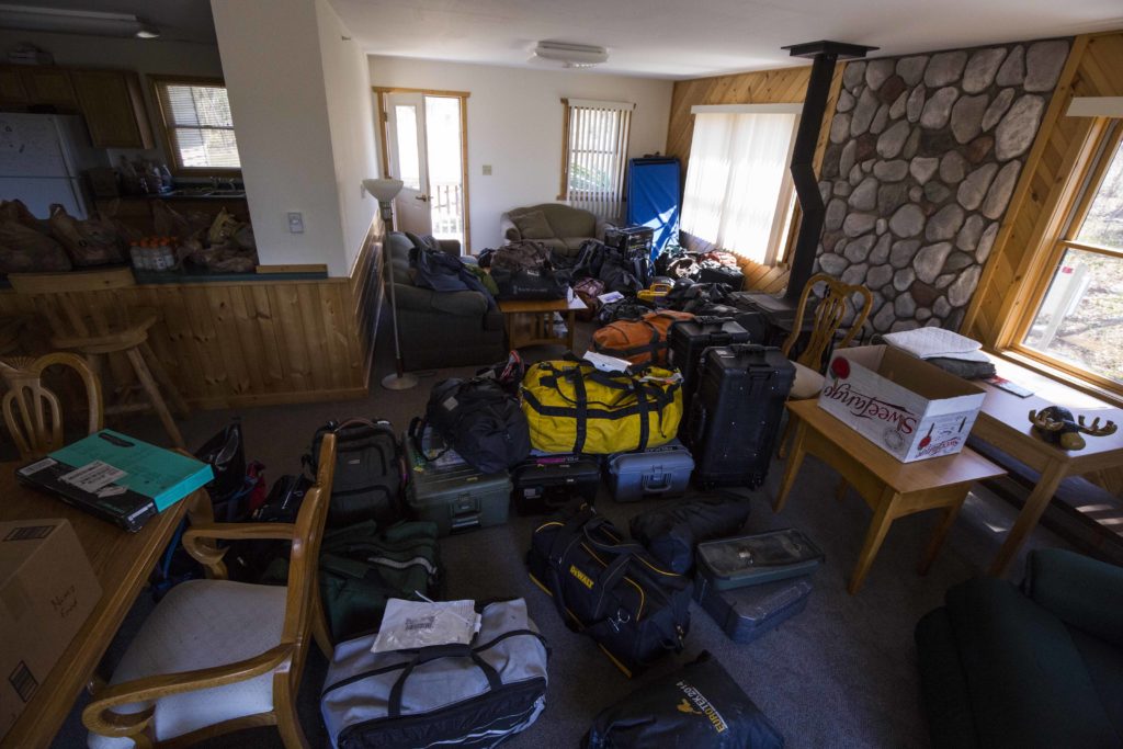
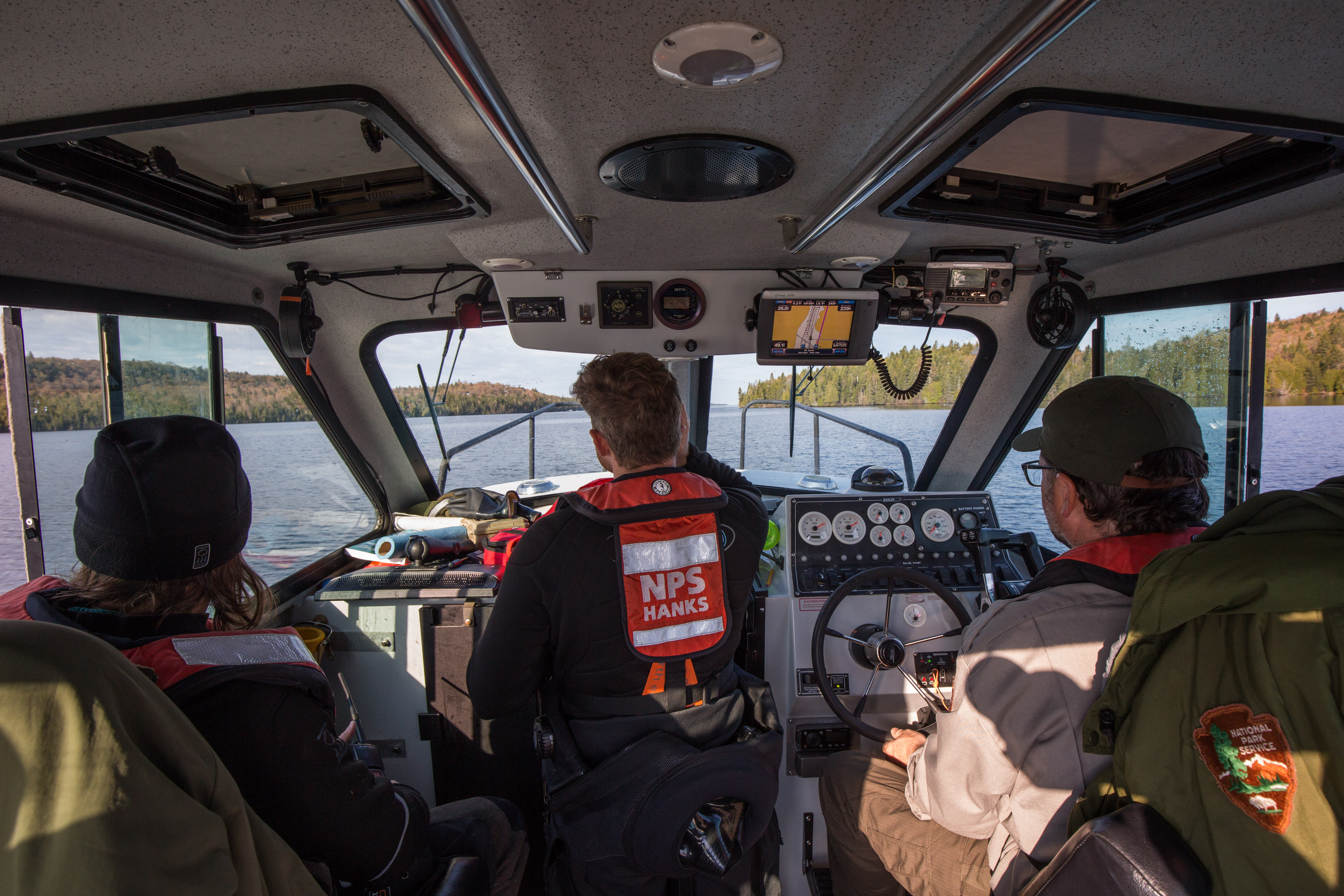
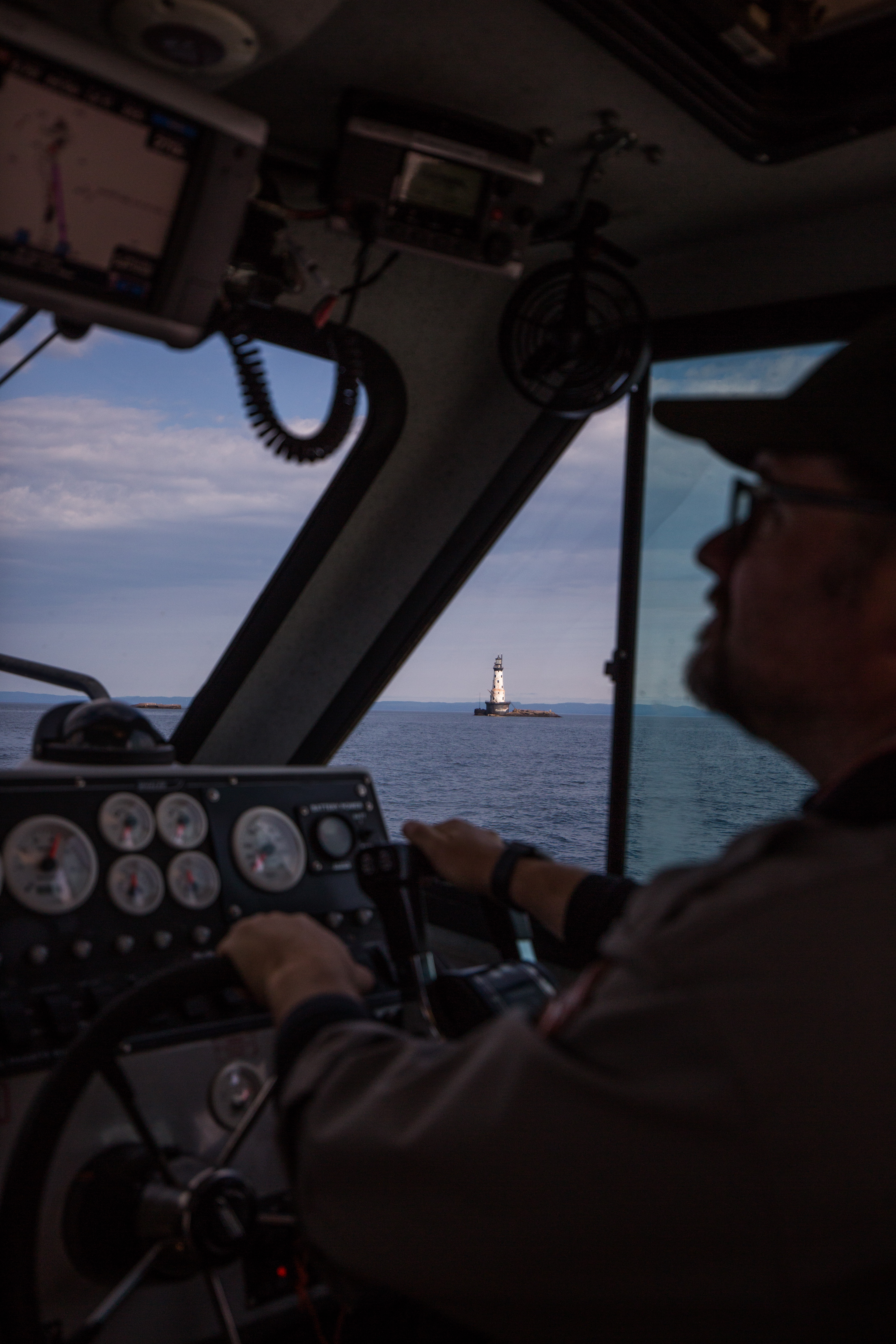
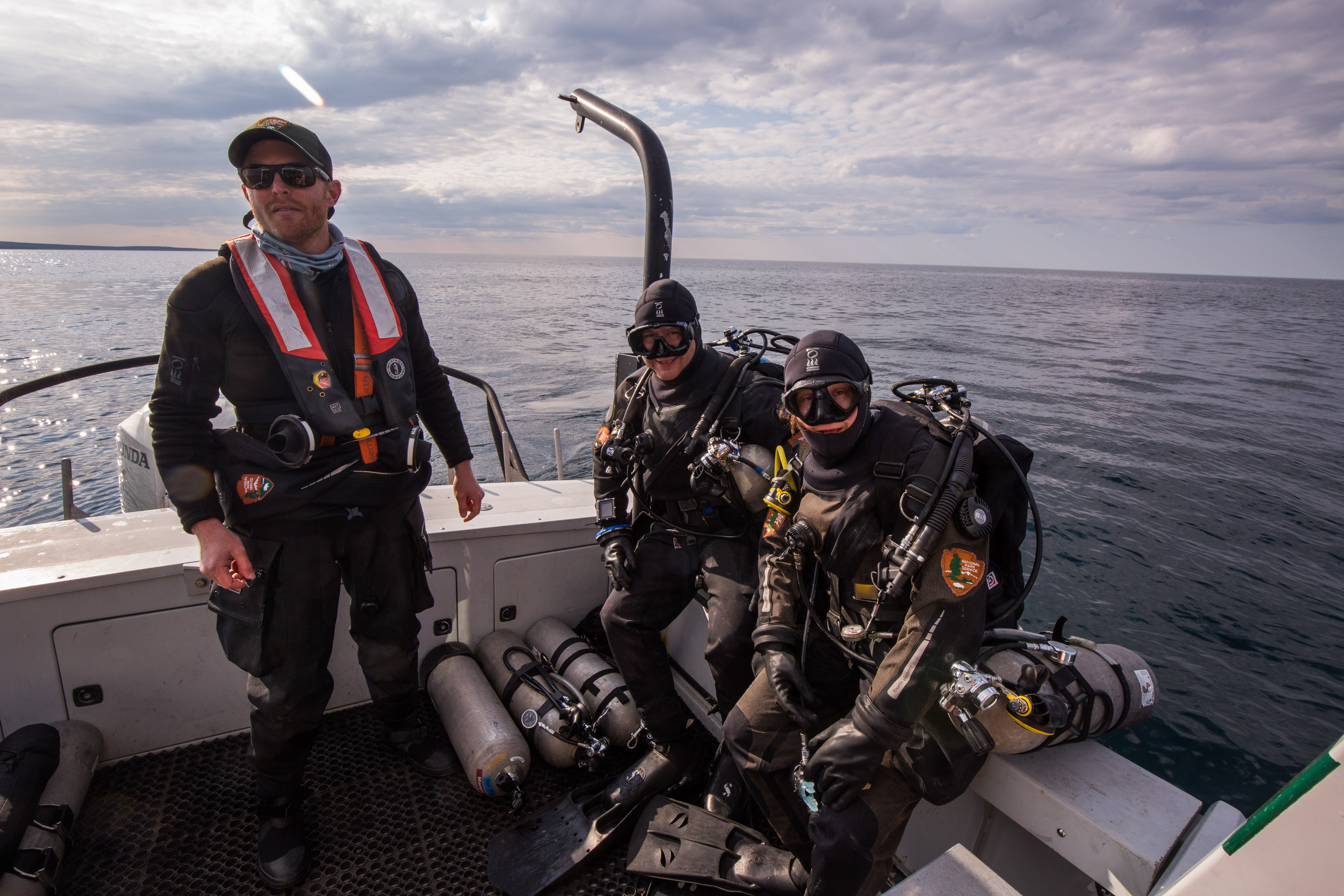
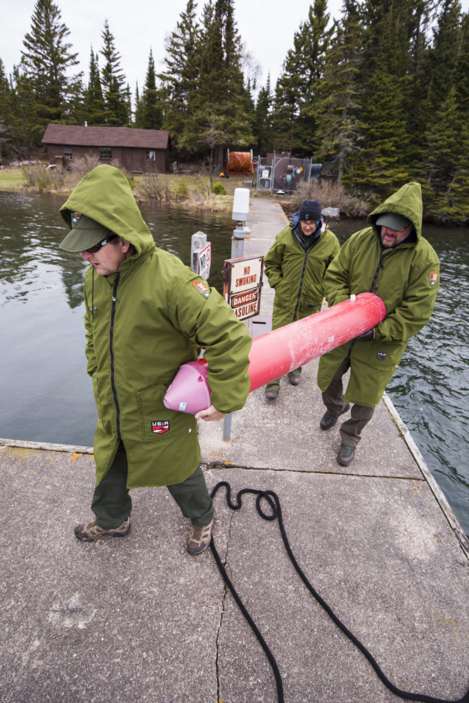
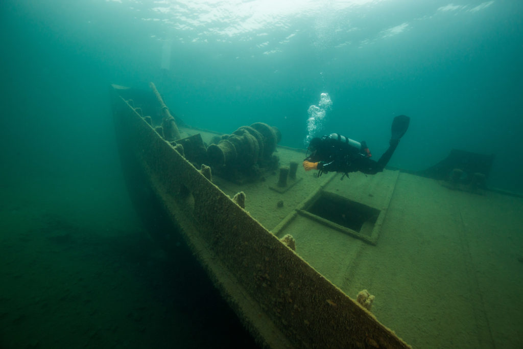
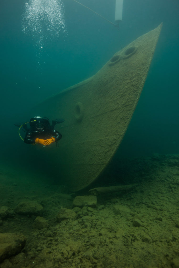
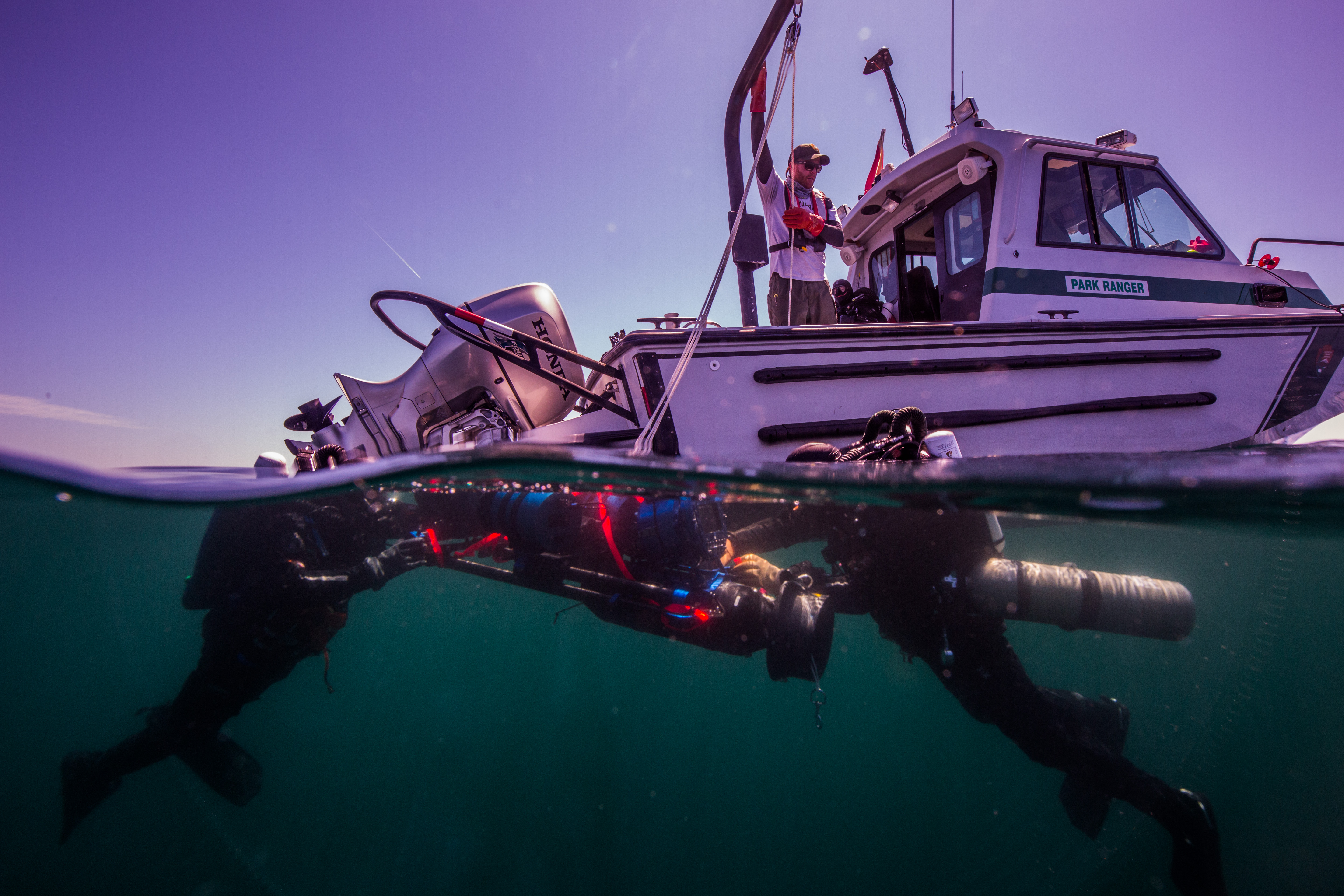
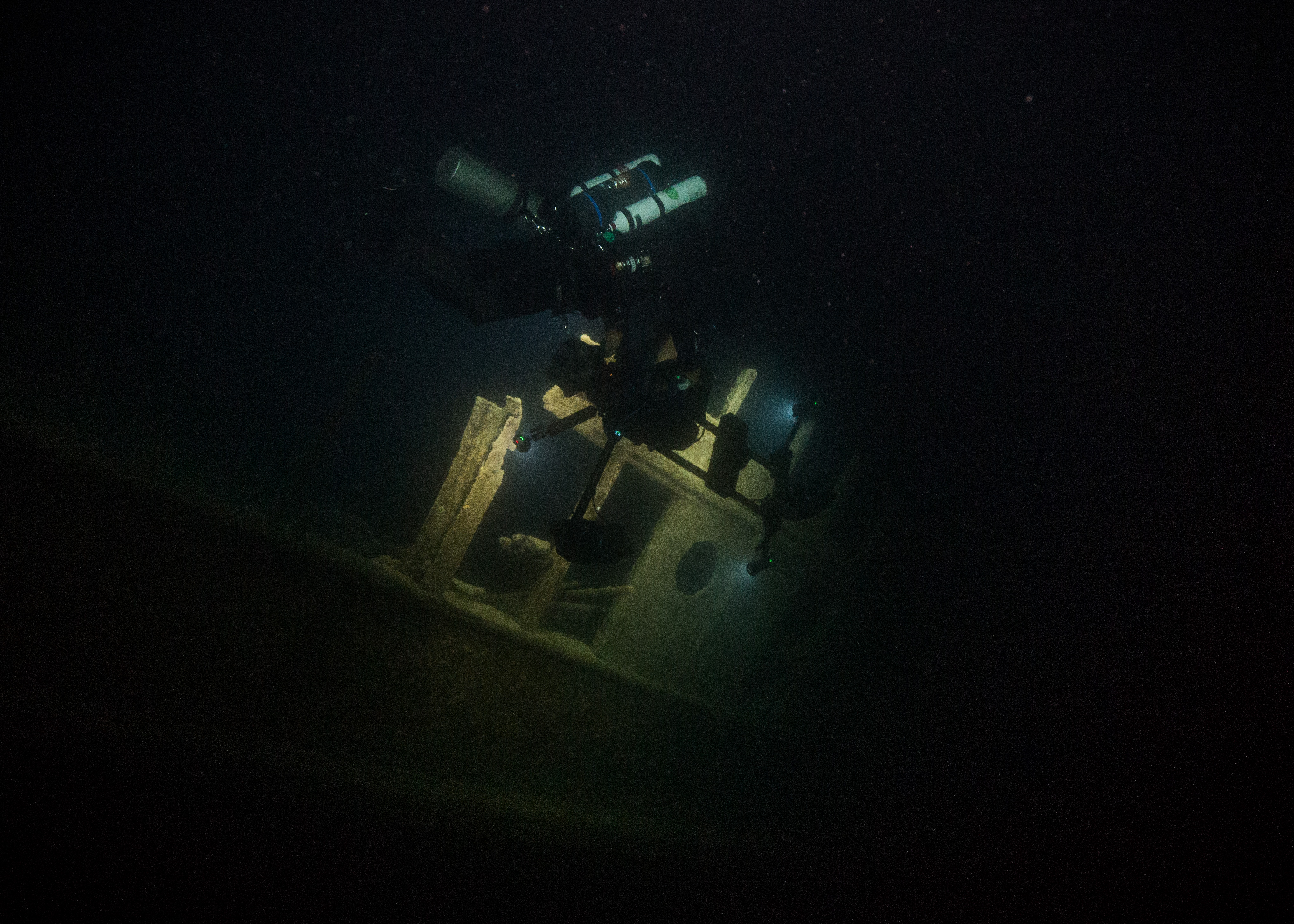
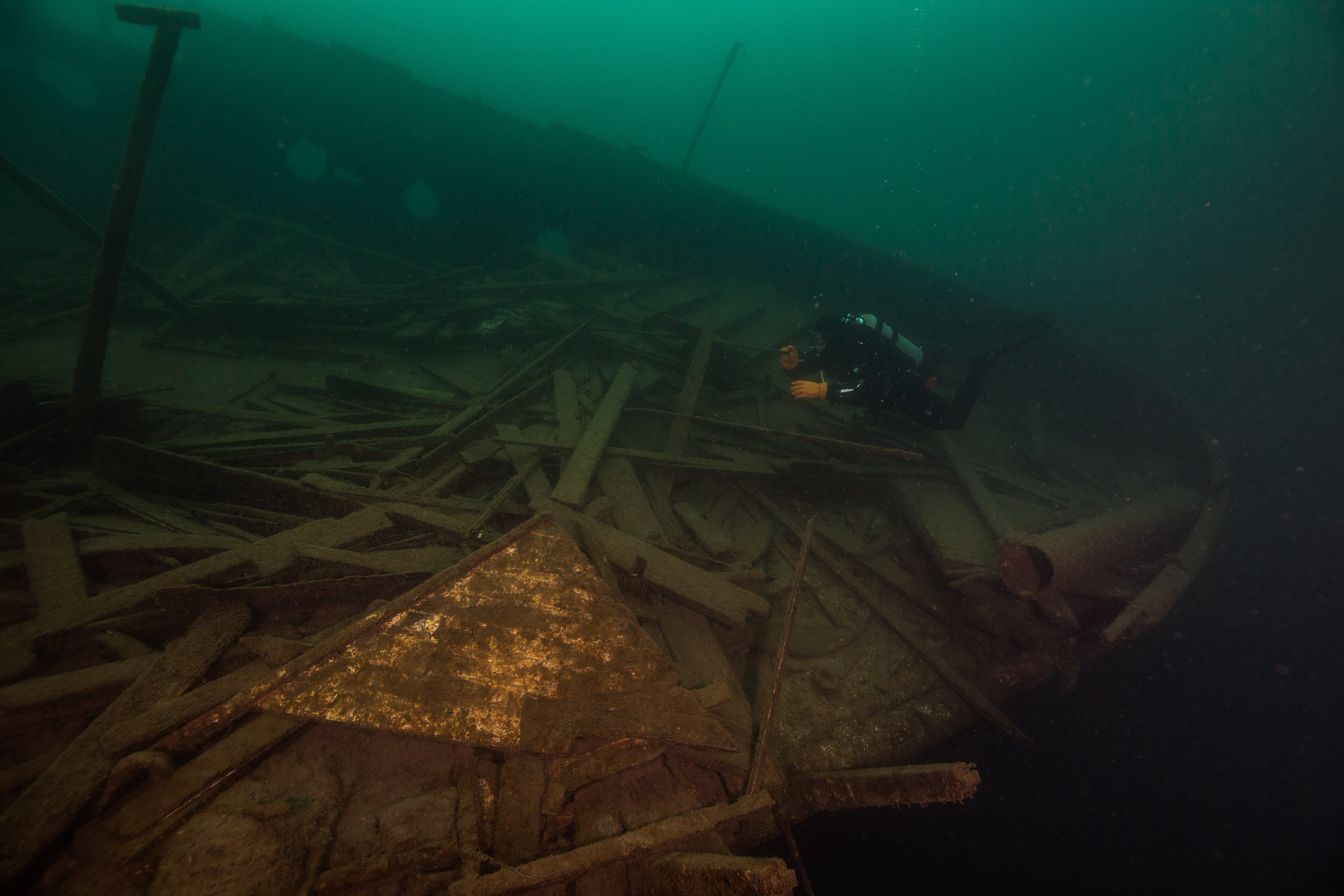
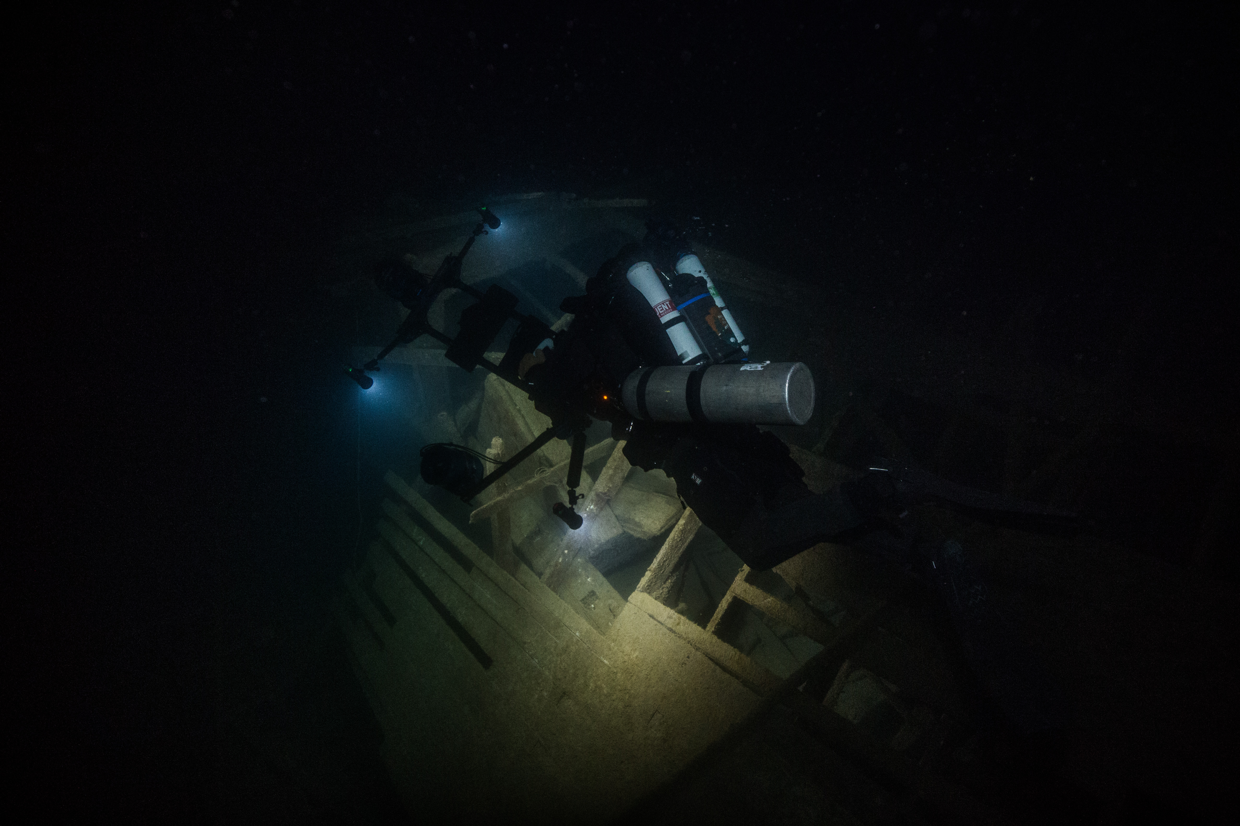
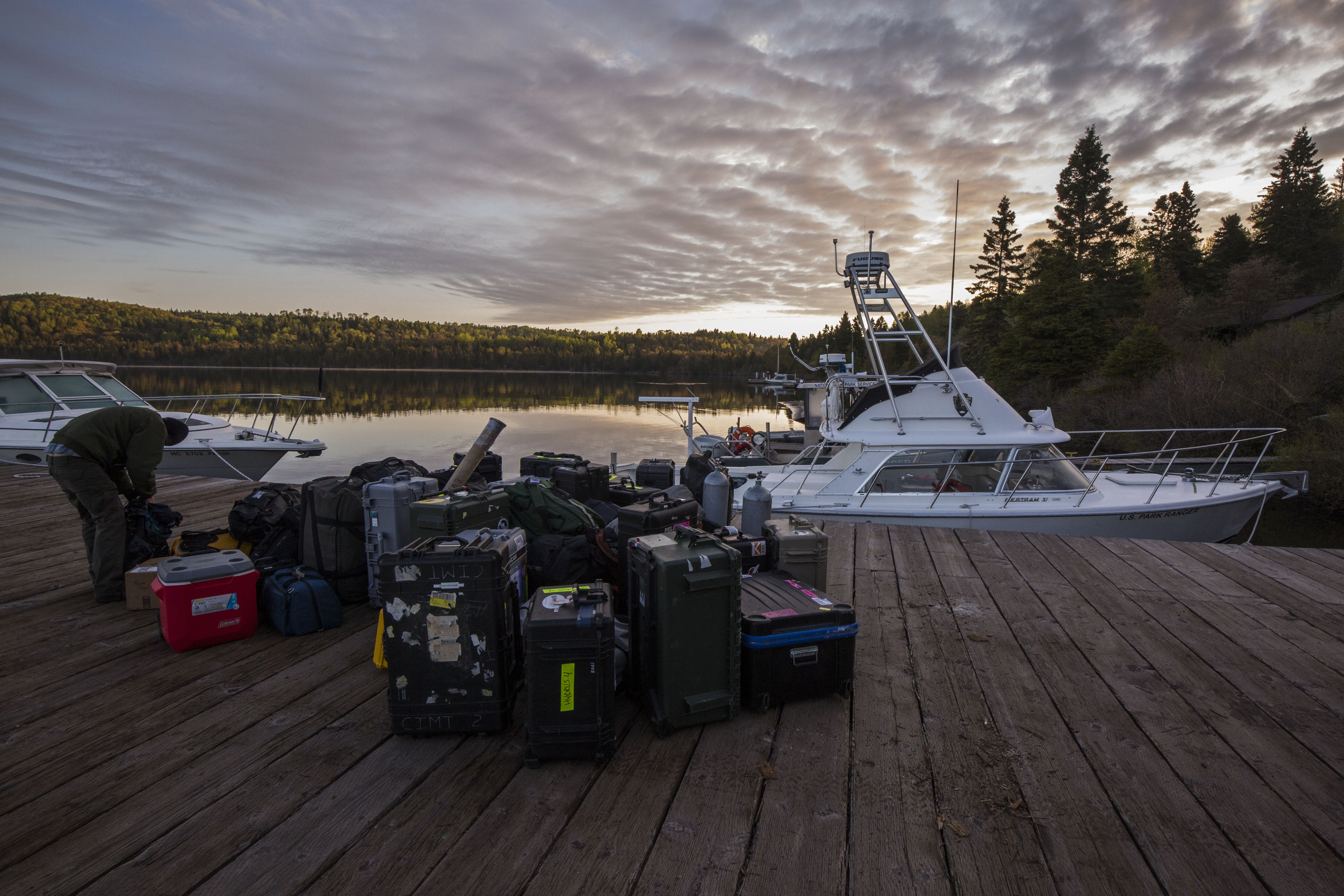
After getting my blue card certification and getting all prepped to dive with the NPS, I helped the SRC team prep for their next big adventure – 3D photogrammetry up in Isle Royale National Park – a trip that I was lucky enough to be able to join in on. Now, this is a three week field excursion into a relatively remote national park. This means we needed lots of gear and lots of preparation. Isle Royale NP is an island up in northern Lake Superior and is mostly wilderness, so on top of packing food, gear, and supplies for a three week stretch we’d also have to bring drysuits and thermal protection. This, on top of the fact that the 3D photogrammetry work is very gear-intensive in itself, means that we had a whole lot of stuff to pack up. Thursday and Friday of my first week were spent preparing for this big endeavor – running last minute errands, grabbing and fueling up the boat, and loading what felt like a couple hundred pelican cases into the back of our truck and trailer. After a full day of packing, a lovely good-bye dinner with my gracious hosts Dave and Michelle, and a relaxed Saturday off of exploring the Denver area, I was ready to start my next adventure: a 1210 mile drive to the wild and remote waters of Isle Royale National Park.


Heading to Isle Royale National Park

Share

Diving into My First Week at Moss Landing!

  • A month ago I did not think I would be writing a blog on a sailboat in a beautiful marina in California. I just arrived in Moss Landing, CA a few days ago and already I will be leaving soon for Mexico. Since arriving, I have gotten to know my internship host and DSO, Diana Steller. She showed me around to Marine Operations and the Aquaculture Facility. In addition, I have met wonderful people including faculty, graduate students, and staff at Moss Landing Marine Laboratories. 

View from Moss Landing Marine Labs
Tanks for seaweed at MLML Aquaculture Facility

I got the chance to help a graduate student, Dan, with his work at the Aquaculture Lab by weighing seaweed and emptying tanks. I learned the main five species of seaweed that they grow and SELL to chefs.
Seaweed (Dulse)

I was also able to have my checkout dive at Breakwater before I leave for Mexico. This was my first time diving in cold water and shore diving-so this was a very new and interesting experience for me. My wonderful instructor, Sloane Lofy, is also a grad student at MLML who studies kelp in the Phycology Lab.
Breakwater

I can’t wait to dive in Mexico and to learn more from the amazing graduate students and faculty about marine sciences!

Share

The Beginning

As of five days ago, I had never been to Alaska, let alone a research station tucked into the Kachemak Bay on the Kenai Peninsula. The AAUS Mitchell Internship has given me the opportunity to join Brenda Konar and her group at the Kasitsna Bay Laboratory studying various aspects of intertidal and subtidal community ecology along a glacial gradient in the Kachemak Bay, Alaska.

Although Alaska is still part of the US, it feels a world away from Colorado. The trip up north took 12 hours across three flights and a water taxi. The views from the plane from Anchorage to Homer and the water taxi were unbelievable! The sights of crisp water, islands and bays, sea otters playing, and looming snow-capped mountains made the nerves of diving in the cold Alaskan waters slip away.

View from the plane from Anchorage to Homer.

My first few days at the research station consisted of processing samples in the lab for species composition, biomass, and reproductive effort. This allowed me to jump right into learning my Alaskan intertidal species. To further my species identification knowledge, I have been putting together a target species list for dive sampling- sea stars, kelp, nudibranchs, oh my!

After these first few days of diving into processing samples, I got to dive into the water. I learned how to properly don a dry suit, the beauty of corn starch on seals, and that the nerves of dry suit diving will immediately disappear once you’re weighted down and overheating. I can now officially say I have dove in a dry suit, and in just a few days we will go to work on dive sampling! I’m thrilled about this opportunity to expand my research diving techniques and experience in order to explore a whole new environment. I have already seen so many organisms, like sea stars and nudibranchs, that I had not often seen in warm water. The ocean is such a vast and incredible world, and I can’t wait to experience the wonders of cold water ecosystems while contributing to research.

First dry suit dive!

Lucky for me, the Konar group’s research covers both the intertidal and subtidal. This means that in addition to dive sampling, I get to help the team with intertidal sampling of mussels, clams, algae, and other critters. Today, I had the opportunity to assist with sea otter surveys where we set up a telescope at a look out point and recorded sea otter feeding behavior.

View from sea otter observation look out point.

I have already learned so much, and I know I will continue to absorb boatloads of knowledge and skills throughout the course of this summer. I have even gained some skills I didn’t expect, like learning how to don a survival suit!

Testing out survival suits!

Share

Washington, DC: The End of the Road

The final stop of my internship was Washington, DC where I gave two presentations to National Park Service employees. After arriving in DC, I met Cliff McCreedy, Marine Resource Managment Specialist for the NPS Ocean and Coastal Resources Program. Cliff walked me through my schedule for the next few days and helped me make final edits to my presentation.

Thanks, Cliff for being so welcoming and helpful! I really enjoyed getting to know you.

On Wednesday, I presented to ~25 employees who were gracious enough to give up their lunch hour to hear me speak about my internship. Sharing my experience with such a diverse group was extremely rewarding. I gave my second presentation the following day to Raymond Sauvajot, Associate Director of Natural Resource Stewardship and Science, and Sonya Coakley from the Office of Visitor and Resource Protection (Public Health). This small setting gave me the opportunity to discuss my internship in more detail, and answer follow-up questions regarding each park.

Thanks again, Ray and Sonya for coming to my presentation!

It’s hard to express in words how amazing my summer was. I learned so much, met so many incredible people, and made memories that will last a lifetime. Thanks to everyone in the NPS who welcome me as the 2018 OWUSS NPS intern. And thanks to everyone who has followed my journey via this blog! I hope that in the future I can find a home again with the National Park Service.

Next stop, King Abdullah University of Science and Technology (KAUST) in Saudi Arabia where I will be an MSc candidate in the Reef Ecology Lab!

Share

Biscayne National Park: An Eye Opening Archaeology Experience

For the second time this summer, I pulled up to Biscayne National Park (BISC) with my bags in tow. For the last two weeks, archaeologists from BISC, the Submerged Resources Center (SRC) and the Southeast Archaeological Center (SEAC) had been documenting two sites with the help of colleagues from East Carolina University, University of California Santa Cruz, and Cheikh Anta Diop University in Senegal.

This archaeological work would not only provide detailed maps of these two previously undocumented sites, but it also gave the NPS the opportunity to run a field school for their visiting colleagues. This work at BISC was in coordination with the Slave Wrecks Project, a program which works to research, train, and educate with a focus on the global slave trade. Collaborators of the project include Smithsonian’s National Museum of African American History and Culture, George Washington University Capitol Archaeological Institute, IZIKO Museums of South Africa, the South African Heritage Resources Agency, Diving with a Purpose, SRC, and SEAC.

Upon arriving, I was greeted by familiar faces as I helped offload the boats. Matt Hanks, an archaeologist for the SRC and the project lead, then introduced me at the day’s debriefing. That evening, after some excellent barbeque, I observed as Joel Cook (MSc at ECU) and the three Senegalese students (Laity, Djidere, and Adama) added new drawings to the Boxcar sitemap. While observing, Joel explained the mapping procedure. For each flagged object, a mud map (i.e. a rough sketch with detailed dimension measurements) is drawn. These measurements are used on land to more accurately construct the object. Once resized, the object is transferred to mylar paper and sketched on the larger map.

Laity, Djidere, and Adama exploring the underwater world at BISC PC: Susanna Pershern

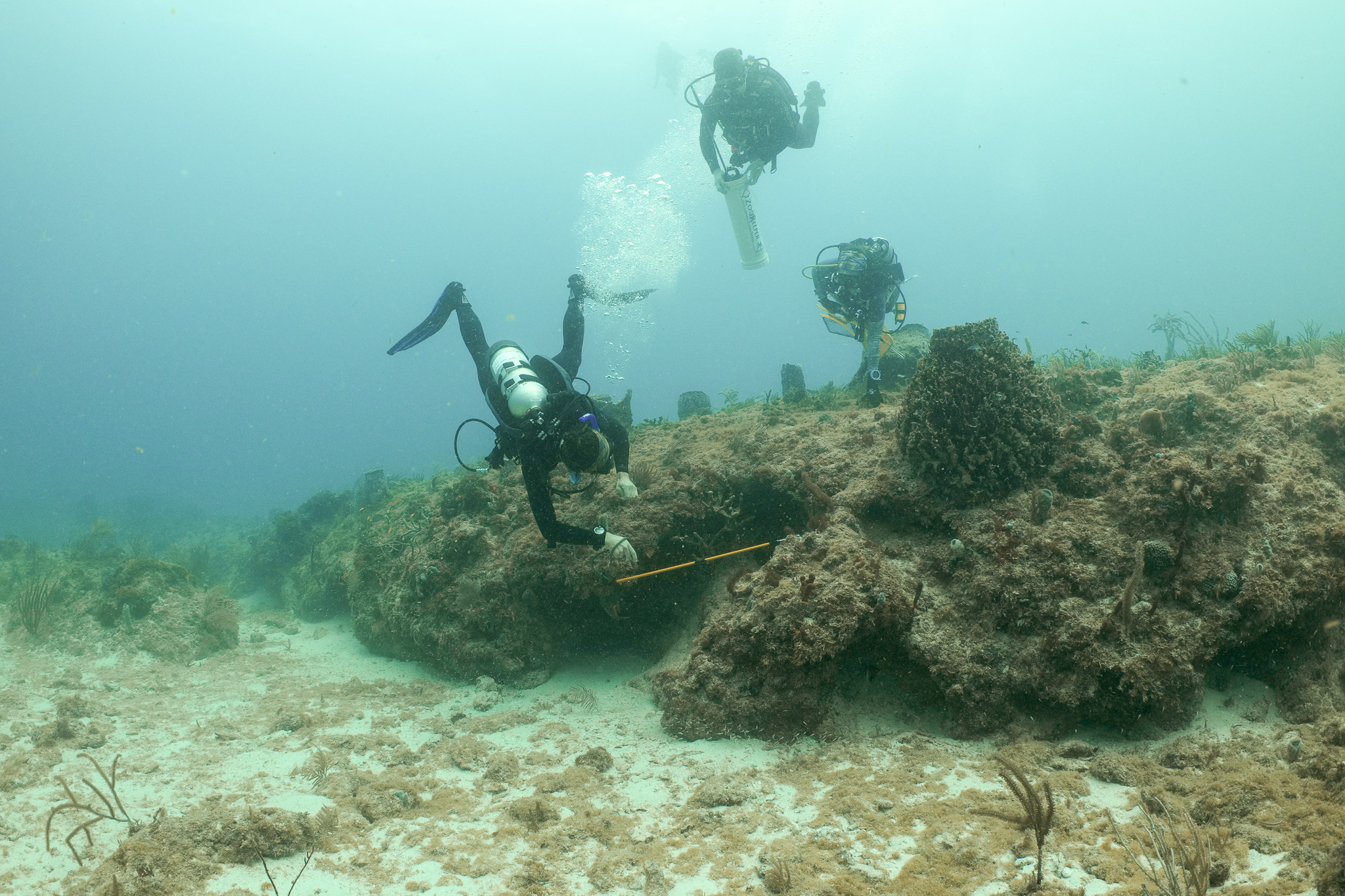
On Saturday morning, we rose early and headed to BISC to begin our day of diving. On our first dive, I accompanied Tara Van Niekerk, a Ph.D. student from ECU, as she collected some measurements at the Boxcar site. This shallow, small site was surrounded by seagrass and crowded with divers as everyone worked diligently to get their measurements. Next, we traveled to Morgan’s Wreck, the other undocumented site, where Matt gave me and all unfamiliar with the site a tour. Much larger than Boxcar, Morgan’s Wreck is located at about 30 ft and provides divers more room but also gives them more artifacts to sketch. My day ended with a trip to Pollo Tropical, a must-visit according to several members of the SRC crew.

During the surface interval, two of the Senegalese students enjoyed the stern of the Cal Cummings, the SRC’s boat

The next day, I accompanied Matt and Jessica Keller, an archaeologist for the SRC, on three dives at Morgan’s Wreck. While underwater, I assisted with measurements and got the chance to sketch my own object. Without any maritime archaeology experience, my first sketch of a simple box was awful. After each dive, I would ask Jess and Matt questions before returning to my box on the subsequent dive. Finally, by the last dive, I had adequately taken measurements from an aerial view (i.e. only width and length), and I had used a compass heading rather than angles to orient my object to the baseline. A baseline is a line that runs along the “middle” of the site and is used to orient objects at the site. The baseline is made of a strong cave line with a tape secured alongside.

A prime example of how many archaeology were working on the site at the same time PC: Susanna Pershern

On Monday, we took the opportunity to catch up on mapping and determine what drawings were missing. At each site, numbered flags were placed on each object. Therefore, we were able to determine which points were missing. Excited to draw my simple box, Charlie Sproul, an archaeologist from SEAC, explained the dimensions of the map and how I should go about transferring my object. At that moment, I realized I incorrectly measured again. To orient an object on the map, we used two types of measurements from the baseline. When objects are close to the baseline, baseline offsets are utilized. For this measurement, a tape runs from the baseline at a 90-degree angle to the object. Trilates are when two measurements are taken from a single point on the object to two separate points on the baseline. The length of the tape and location on the baseline is used to determine the position of the object relative to the baseline. Often trilateration and offset measurements are taken before an object is drawn by using the numbered flag as a measurement point; therefore, the diver sketching the object must label the location of the flag on their object…something I neglected to do.

Every evening after a long day of diving, the group works diligently to add their sketches to the sitemap

Ready to correct my drawing, I headed out with Jess, Joel, Charlie, and Arlice Marionneaux, an American Conservation Experience intern at BISC. After a day full of more diving and more measuring, I was excited that I finally had all the necessary information to add my box to the map. Over the past few days, with trial and error, I had learned a lot. I developed a massive appreciation for maritime archaeology and enjoyed assisting the group over the next few days as they worked to finish the mapping at Morgan’s Wreck.

I observed as Arlice finished up the measurements for one of her drawings PC: Susanna Pershern

In addition to our normal crew, while at BISC, we were accompanied by a team of filmmakers who were working on a slavery documentary. While their film is still in the early stages, I got the opportunity to observe document filming first hand, both above and below water. During my week, I also got the opportunity to play with my camera and capture the gorgeous organisms that populated the area around Morgan’s Wreck.


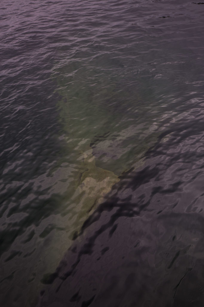
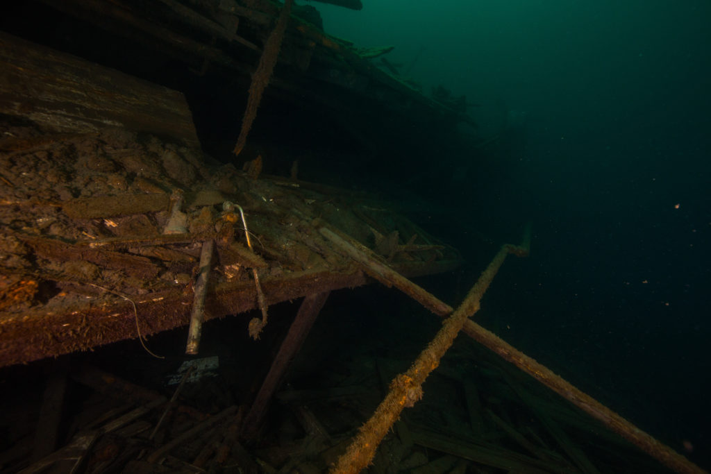
After completing a majority of the mapping, some of the group shifted their priority to jumping anomalies. Last year, in association with the Slave Wrecks project, the NPS dragged a magnetometer around a large portion of BISC’s marine habitat in search of the Guerrero, a Spanish pirate slave ship that wrecked in the Florida Keys. In 1807, Britain and the United States both passed legislation to end the slave trade; however, slavery was still legal in the United States. The heavily armed Guerrero would attack other slave ships and forcibly transfer the Africans to their boat so they could sell them for profit. In 1827, while patrolling for slave ships, the HMS Nimble, caught sight of the Guerrero. The fight ended with both ships running aground. Tragically, 41 enslaved Africans were killed when the Guerrero sunk, while hundreds of survivors were recaptured and transported to Cuba to be sold into the slave trade. For more detailed information, check out this video which was produced through a partnership between the NPS SRC and Curiosity Stream.

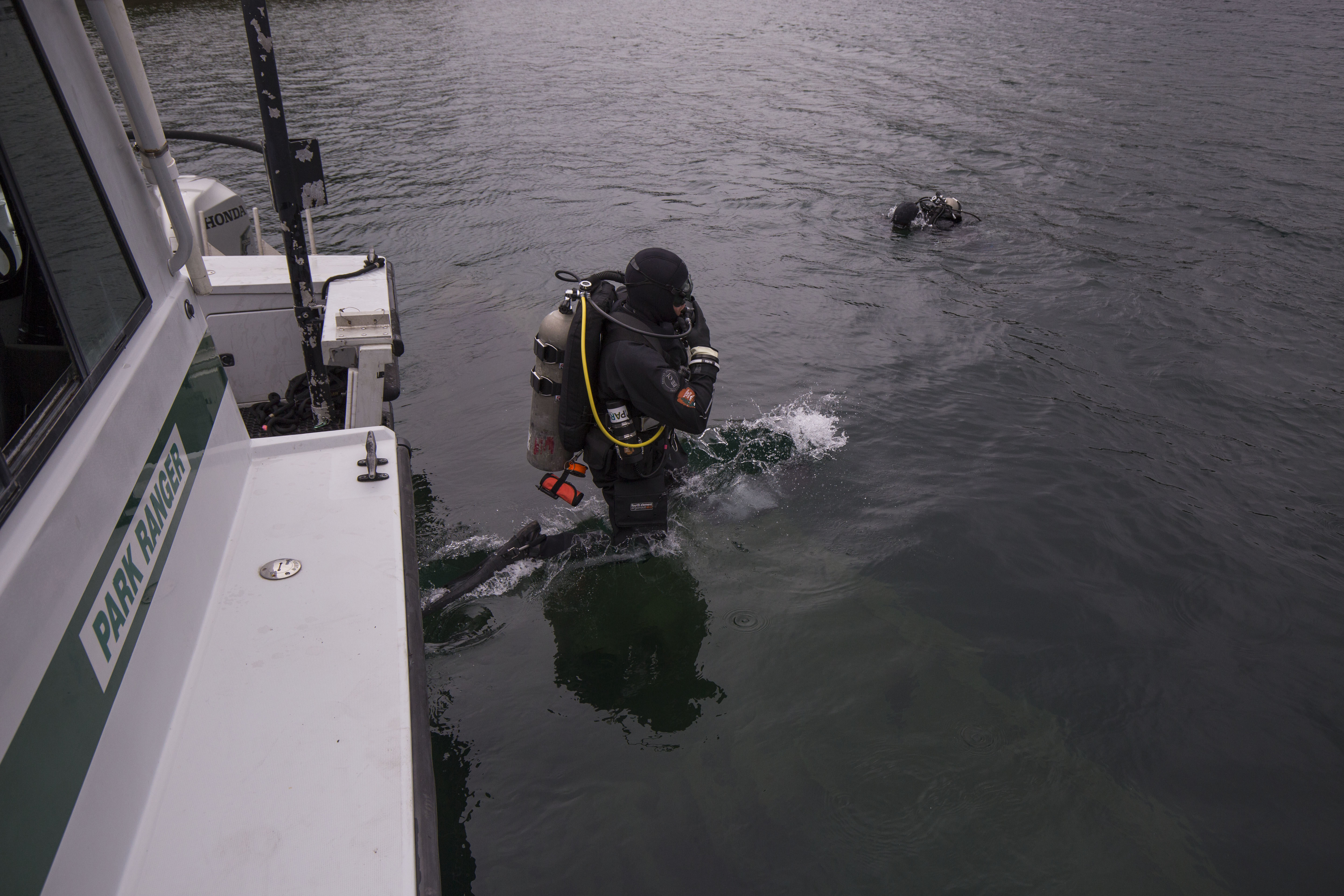
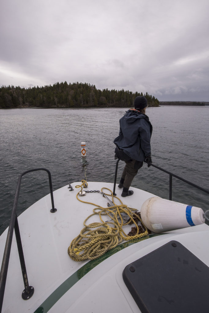
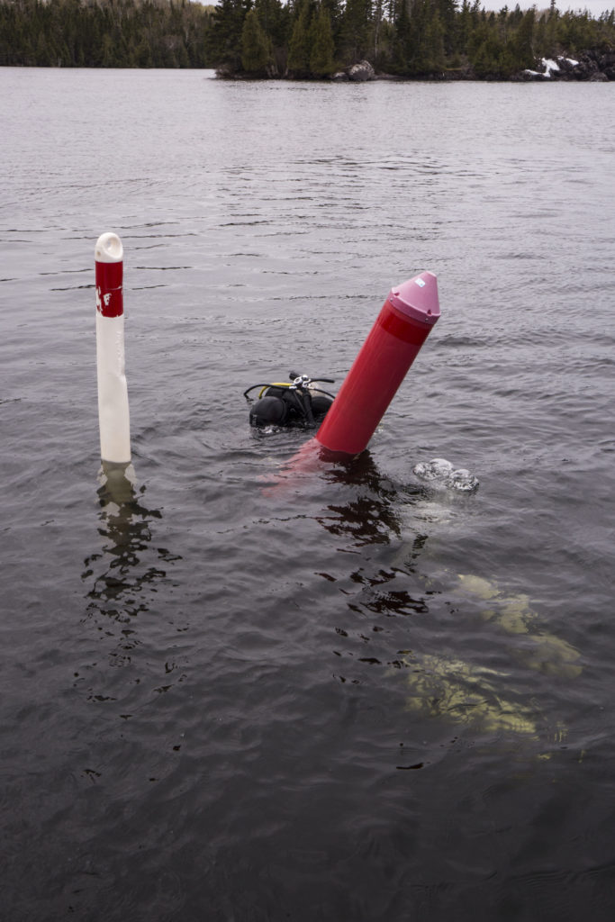
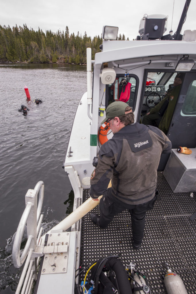
During their search for the Guerrero, the group identified over 1,200 anomalies. When the magnetometer was pulled across the ocean surface, the GPS coordinates were recorded when the device sensed iron. While iron can be found on wrecks, it can also be found on anchors, lobster traps, and other marine debris. To examine these anomalies, we traveled to these GPS coordinates, dropped a buoy with a weight, and then completed snorkel or diving surveys to determine what triggered the magnetometer. We spent around 10-20 min at each spot, depending on visibility. If we discovered anything of significance, a picture was taken, and a detailed description was recorded at the surface. At 1 of 12 anomalies checked on Thursday, Bert Ho, a survey archaeologist for the SRC, and I found a large piece of wood with nails. Yes, that was the most significant find out of all twelve anomalies jumped that day! While it seems trivial, jumping anomalies was awesome. Not only did you get to experience different dive sites around BISC, but there was always the small hope that you would stumble onto an undiscovered wreck.

Bert throws out the buoy to mark the anomaly’s location before snorkelers/divers enter the water

After another day of anomaly jumping and a lovely day off, I was fortunate enough to spend my Sunday with Ronnie Noonan, the 2018 OWUSS REEF Intern. Based out of Key Largo for her internship, Ronnie was able to accompany Joel, Jess, Dave Conlin, Chief of the SRC, and I as we visited several wrecks in BISC. Blessed with spectacular weather, we explored four sites along the Heritage Trail. Joel took the time to point out significant ship structures to Ronnie and I. In addition, with Ronnie’s assistance, I got the opportunity to test my fish identification skills. Having been trained to do REEF surveys in Bonaire, I was excited to try my hand in Florida waters. Not only were my fish ID skills a little rusty, but identifying fish while snorkeling made the process far more difficult.

Ronnie and I after a snorkel at the Erl King Wreck. If you look close enough, you can even see Miami’s skyline in the distance

That evening, after a lovely day on the water, I accompanied Dave, Joel, and Arlice at the welcome barbecue for Youth Diving with a Purpose (YDWP). YDWP is a nonprofit organization that works to teach students about ocean conservation and maritime archaeology. As an offshoot of Diving with a Purpose, one of their focuses is the maritime history and culture of African Americans. For the final days of my internship, I would be assisting YDWP as they ran their maritime archaeology program at BISC.

On Monday, we assisted YDWP with their archaeology coursework by setting up a mock wreck for the students to practice baseline offsets and trilates. While in Key Largo with YDWP, I was also fortunate enough to grab lunch with my friend, Lydia. She was an intern with me in Bonaire, and I was extremely excited that we got the chance to catch up. For the next two days, Arlice, Dave, Andie Dowell, Josh Marano (an archaeologist for BISC), and I traveled to an undocumented wreck in BISC and observed as the students practiced underwater mapping. With slates and tapes in hand, the students worked diligently to find objects, sketch them, and record their position at the site. In addition to helping YDWP, I worked alongside Dave to uncover artifacts with a metal detector. This site was discovered while jumping anomalies last year, and archaeologists need more information before determining whether or not the site is the Guerrero.

YDWP students swim from their boat to the site to begin mapping PC: Andie Dowell

Working with YDWP was a privilege. Not only did I meet a group of enthusiast students, but the instructors were clearly passionate about the underwater world as well. Thanks again Dave for allowing me to assist with this program for the final days of my internship!

And of course, we decided to take a group picture where all of us are looking directly into the sun

After drying my gear one last time and packing up my bag, I was ready to head home for a few days before traveling to Washington, DC. While in DC, I would present about my summer internship to various members of the National Park Service.

Thanks to the members of the SRC, SEAC, and all their colleagues who were willing to teach a biologist some archaeology. I really enjoyed my second trip to Biscayne National Park. I got to participate in a project entirely out of my realm, and I had a spectacular time!

Share