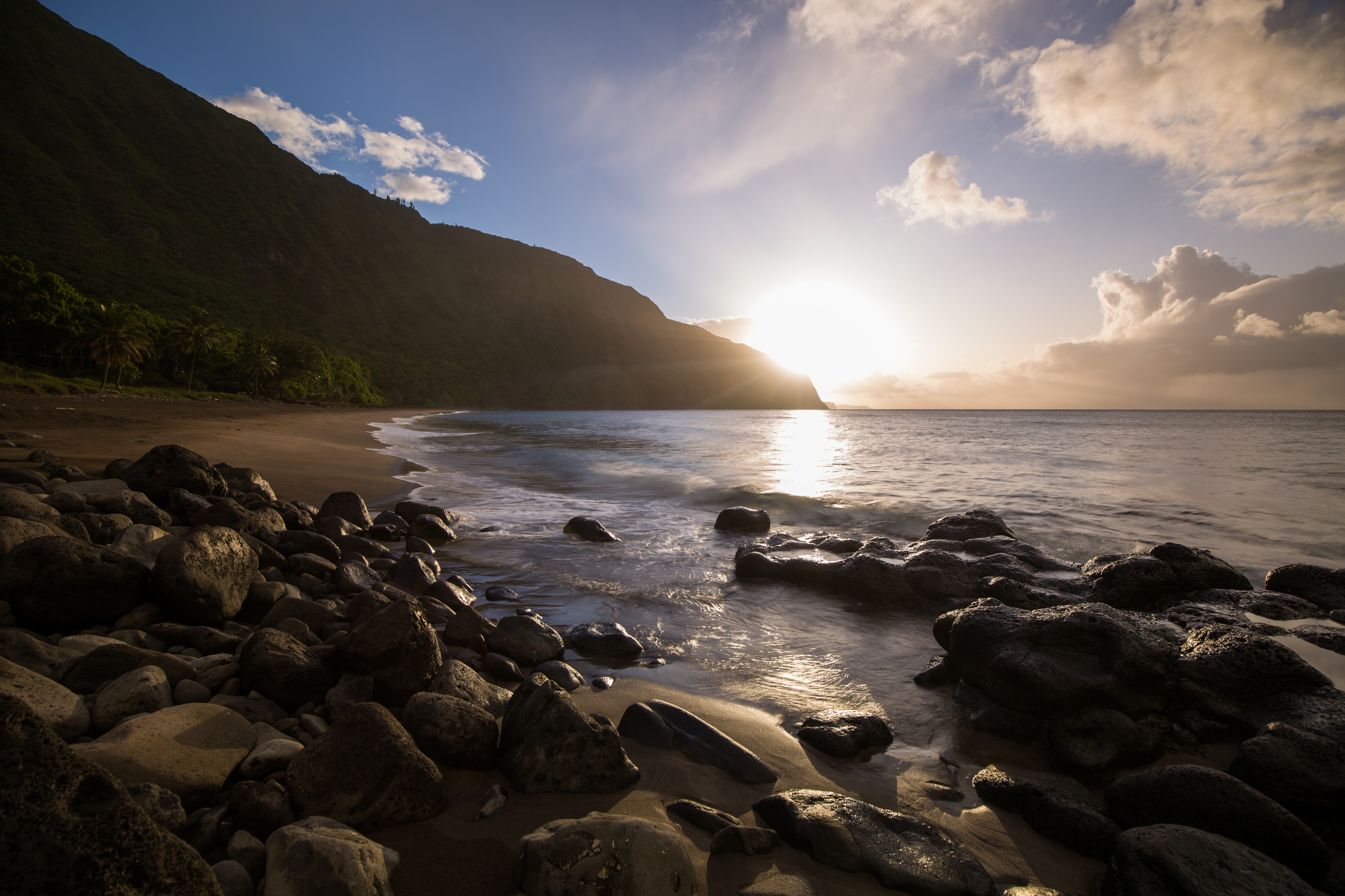
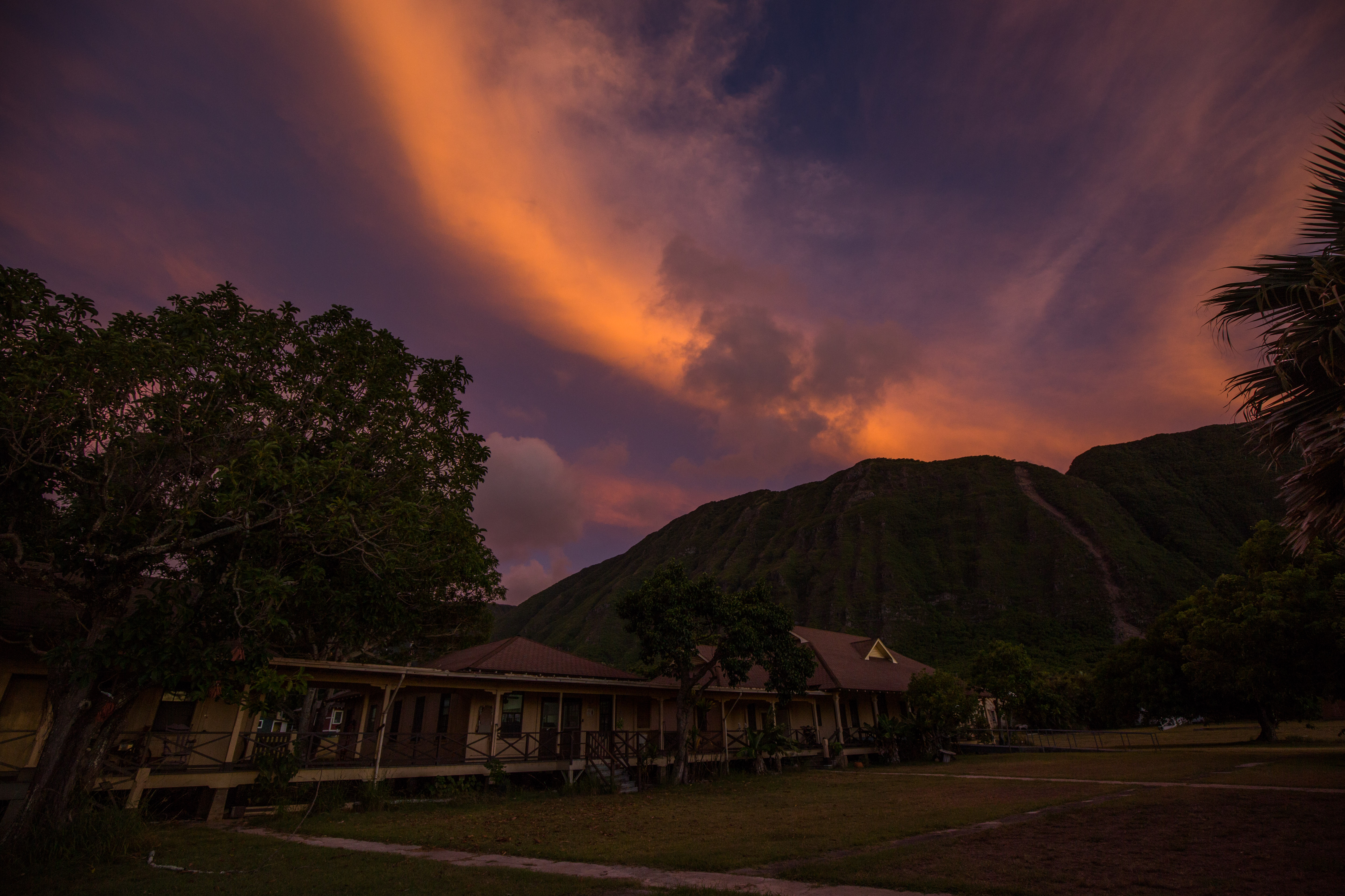
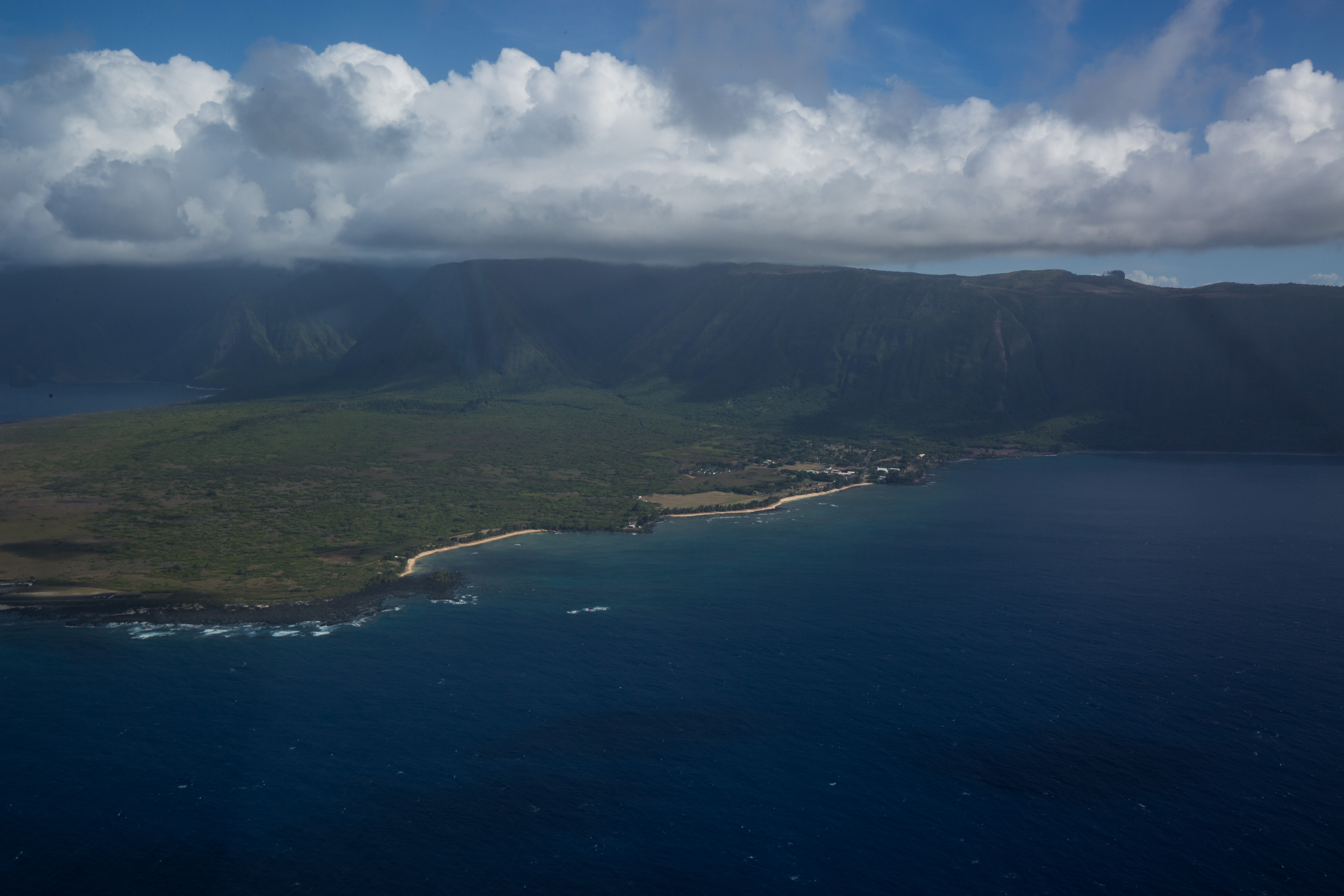
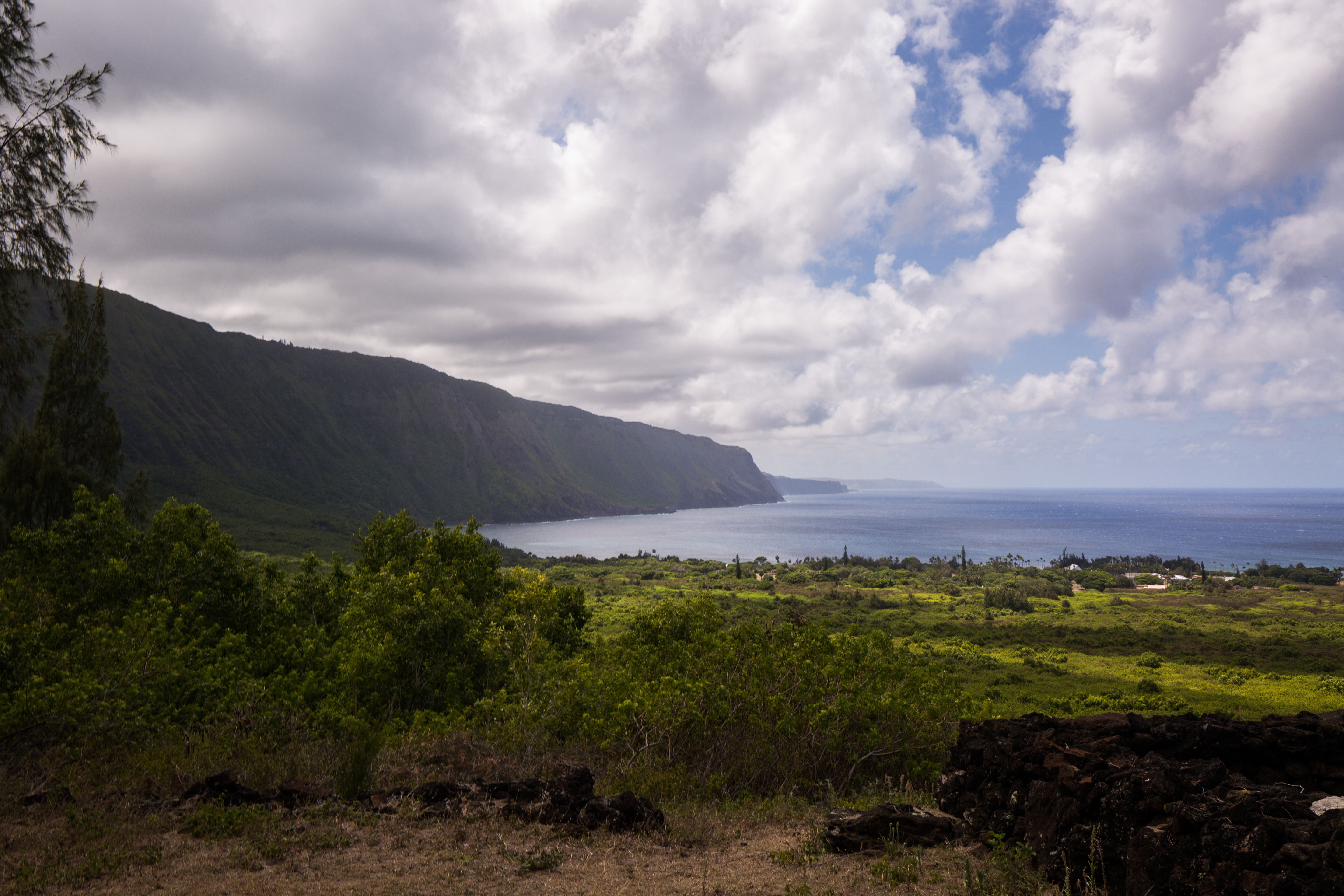
Kalaupapa National Historic Park is one of those places that you can tell is special from the moment you get there. Isolated from the rest of the Hawaiian Islands by towering sea cliffs and from the rest of the world by thousands of miles of open ocean, this small peninsula was once a colony for people with Hansen’s disease (or leprosy), reminding us that even the most beautiful places can be a prison. Under orders from King Kamehameha V of Hawaii, victims of this disease were snatched up from their lives with little to no notice and indefinitely interned on this remote peninsula. Facilities were minimal and compassion was almost entirely absent. The patients were left to live in isolation, unable to have any type of physical contact with visitors, from 1866 until the end of mandatory isolation in 1969.
Since the cure of the disease, the settlement has become a much happier place, with some of the patients choosing to stay on what is now their home despite the lifting of travel and visitation restrictions. Around 9 patients still live on the settlement, with the rest of the residents being employees of the NPS or the Department of Health, who remain on site to maintain and support the park and patients.
My visit to Kalaupapa wasn’t always in the books. Due to personnel changes in the park (the long-time marine ecologist, Eric Brown, moving to a new position in American Samoa), I was told that I wouldn’t be able to visit during my internship as the annual marine surveys wouldn’t be taking place. While in Channel Islands National Park, I met Kelly Moore (who is taking the Kalaupapa marine ecologist position) and learned that the surveys were back on the schedule and were going to take place right after my time on the islands ended. After some quick arrangements with various parks service folks, I found myself on a flight out to Hawaii just two days later, eager to join up with a new team.
When the strict isolation laws of Kalaupapa were let up, the governing of the peninsula was turned over to the patients. In order to retain control of the land that is now the only home that most of them know, they set up some rules to ensure that it remained a happy place for themselves. These rules include ones like no children under the age of 16 (as historically children weren’t allowed on the settlement and any birthed there were taken from their mothers as soon as they were born, so children spark unpleasant memories for some patients), a strict limit on the number of visitors allowed, and an escort required for all visitors outside the settlement grounds. The last rule was the first one that I noticed, as I wasn’t allowed to leave the airport until my park sponsors were there to pick me up.
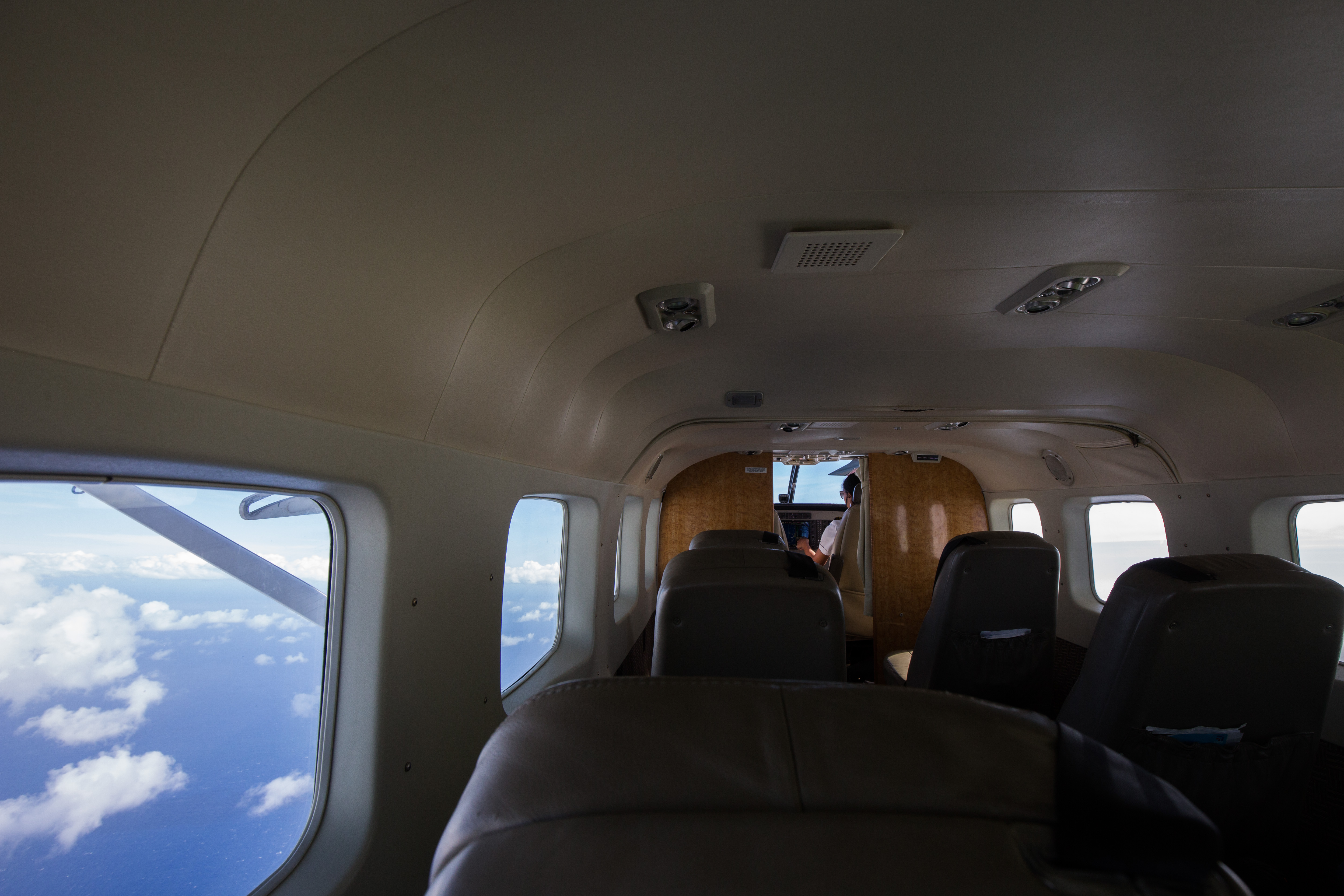
Landing on Kalaupapa’s airstrip in a small, 8 person passenger plane, I walked across the tarmac and picked up my luggage to be greeted by Sheila McKenna, marine ecologist with the Pacific Parks Inventory and Monitoring, and Glauco Puig-Santana, a biotech working for both Pacific Parks I&M and Kalaupapa. From there, we rode into town and met Eric Brown and quickly began to orient ourselves on the survey protocol. We had a lot of sites to get done, around 20, and a short window to complete them all so we got right to work.
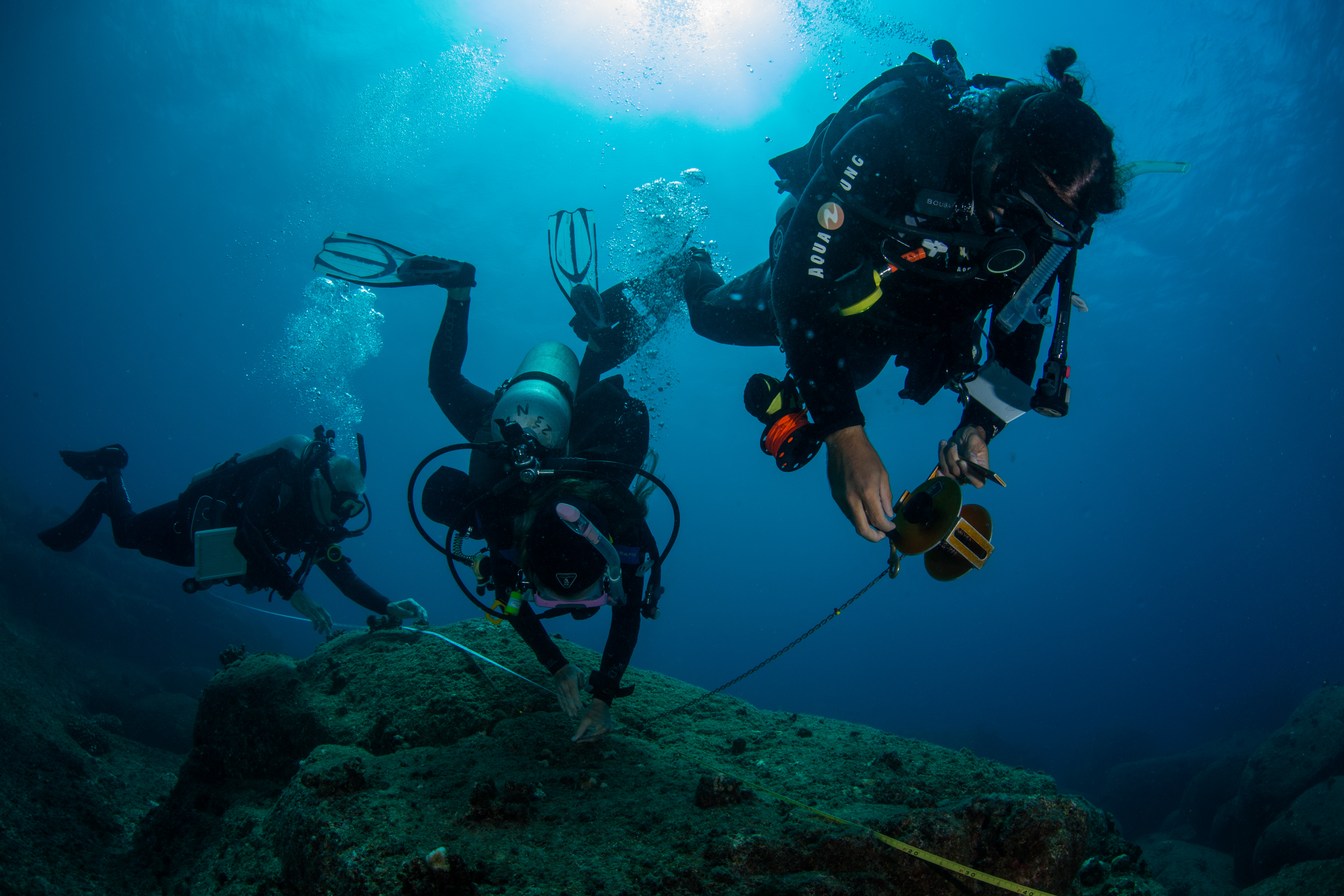
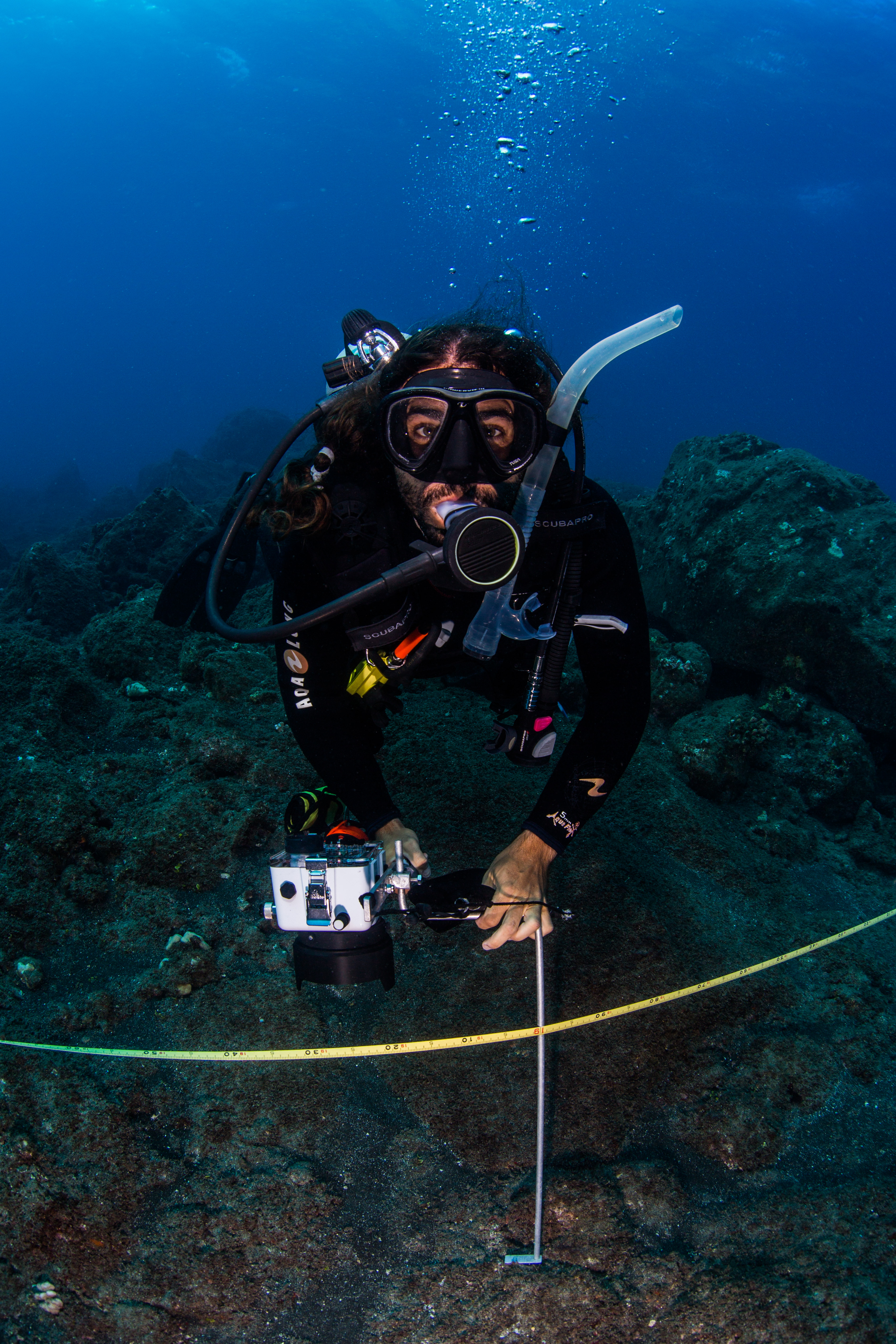
Following a typical I&M protocol, these surveys were straight forward. Eric Brown, a seasoned Kalaupapa surveying veteran, handled the fish counts, while a buddy (either Sheila, Glauco, or myself) would cover the benthic photoquadrats to determine bottom cover. Temporary sites, ones that were randomly selected each year, had an added survey type – rugosity measurements. This required another diver, who would work with Eric to reel out and lay down a rugosity chain while the benthic diver finished their photoquadrats. This chain was reeled out along the transect line and laid flush with the bottom, following all contours. Once it reached the end of the transect, the length of chain laid out would be counted to give a measure of benthic complexity. The more chain was laid out over the 25m transect line, the more complex the rugosity was.
Permanant sites, ones without rugosity, were alot easier and faster than the temporary ones. With only fish counts and benthic photoquadrats to complete, the work went by pretty quickly. Working as a photoquadrat diver was a pretty good deal too. You’d have to wait for Eric to get some headway on his fish counts before starting, which gave you a little time to look around and enjoy the site. I took full advantage of this free time and took my fill of photos.
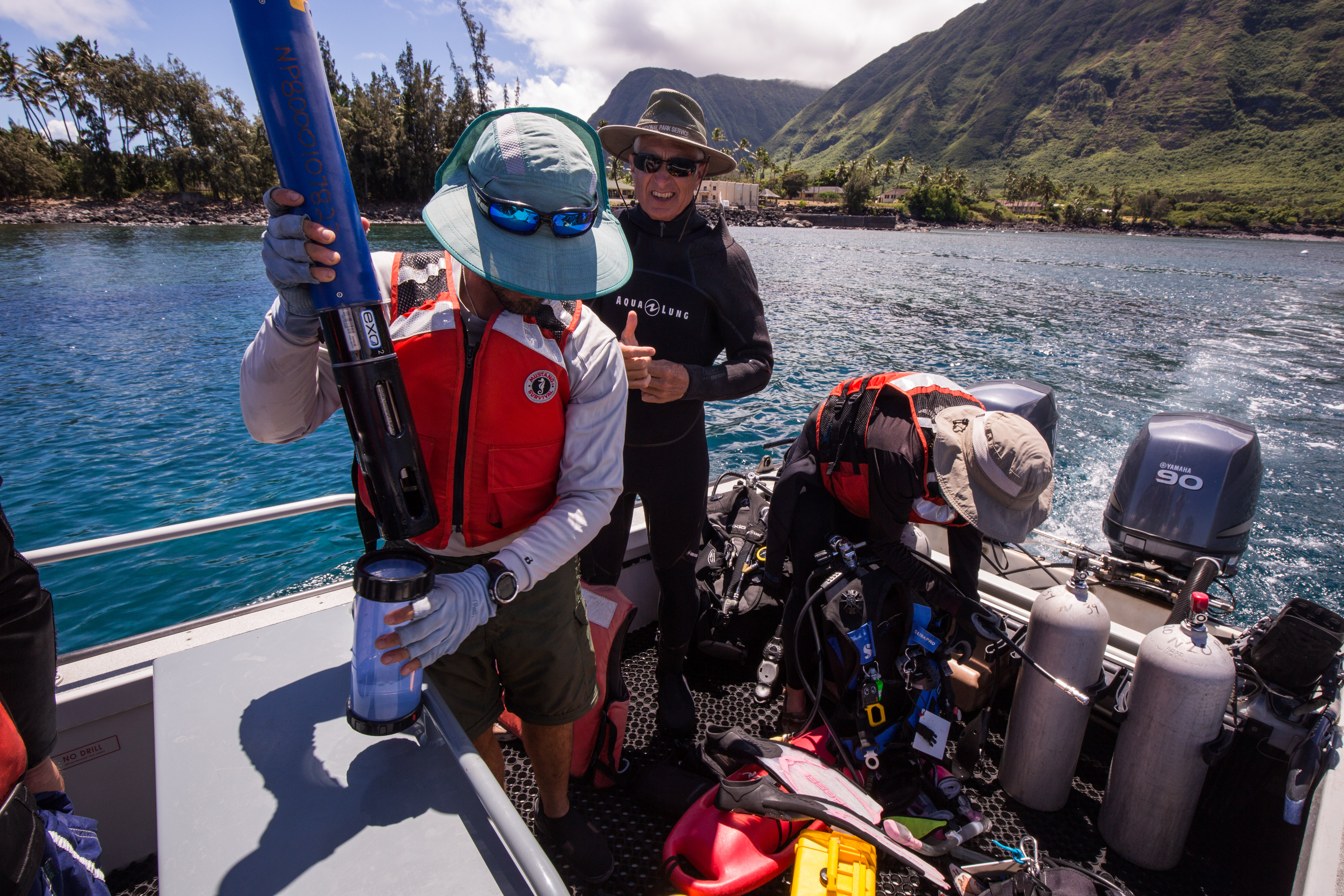
Another important part of the surveys, something that happened at both temporary and permanant sites, was water quality measurements with a sonde. A sonde is a multiparameter that collects data with six user-replaceable sensors, collecting a wide variety of data, ranging from conductivity and temperature to turbidity. This high-tech piece of equipment would be used to compare subtle biotic and abiotic differences between sites and see how they might influence biological life.
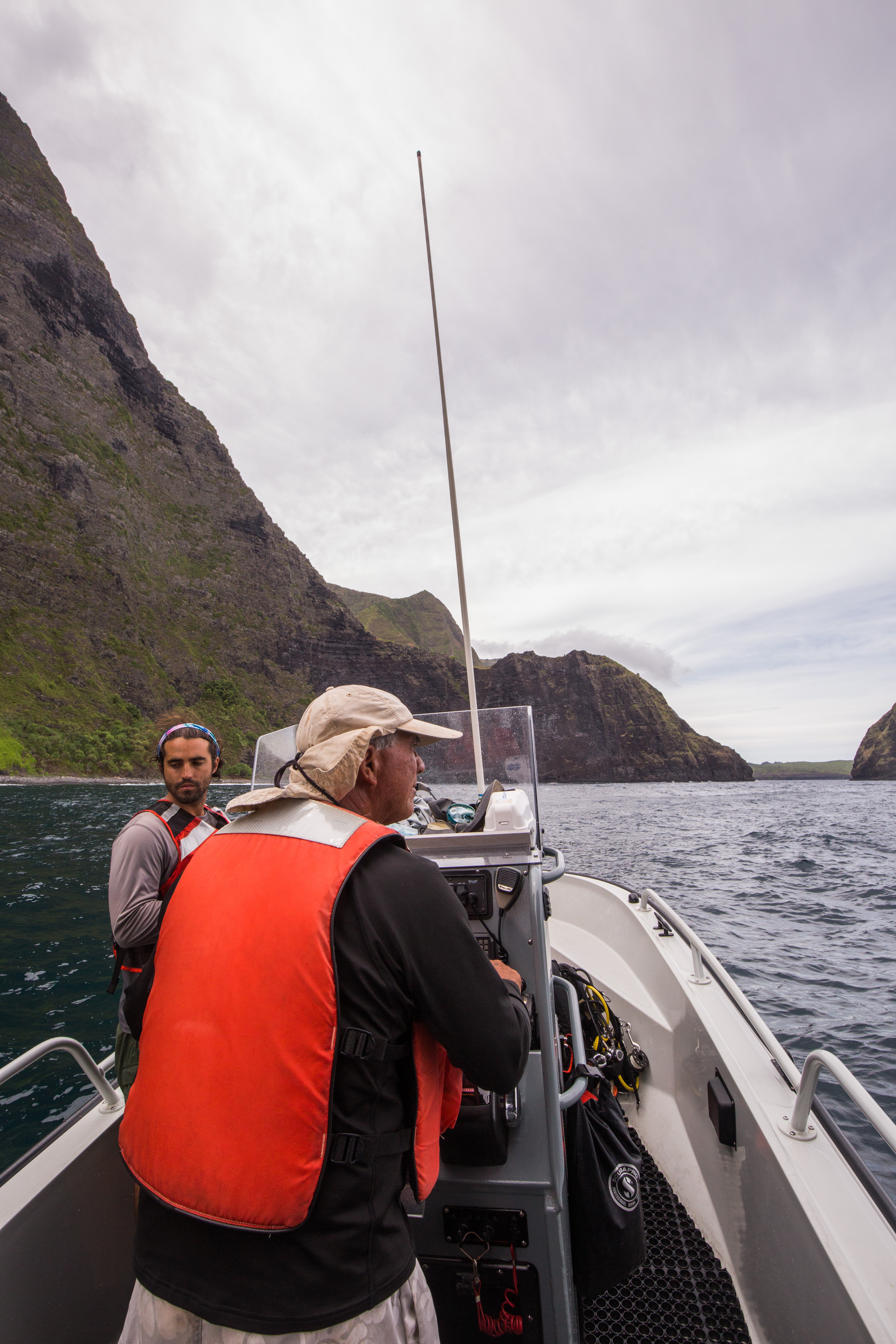
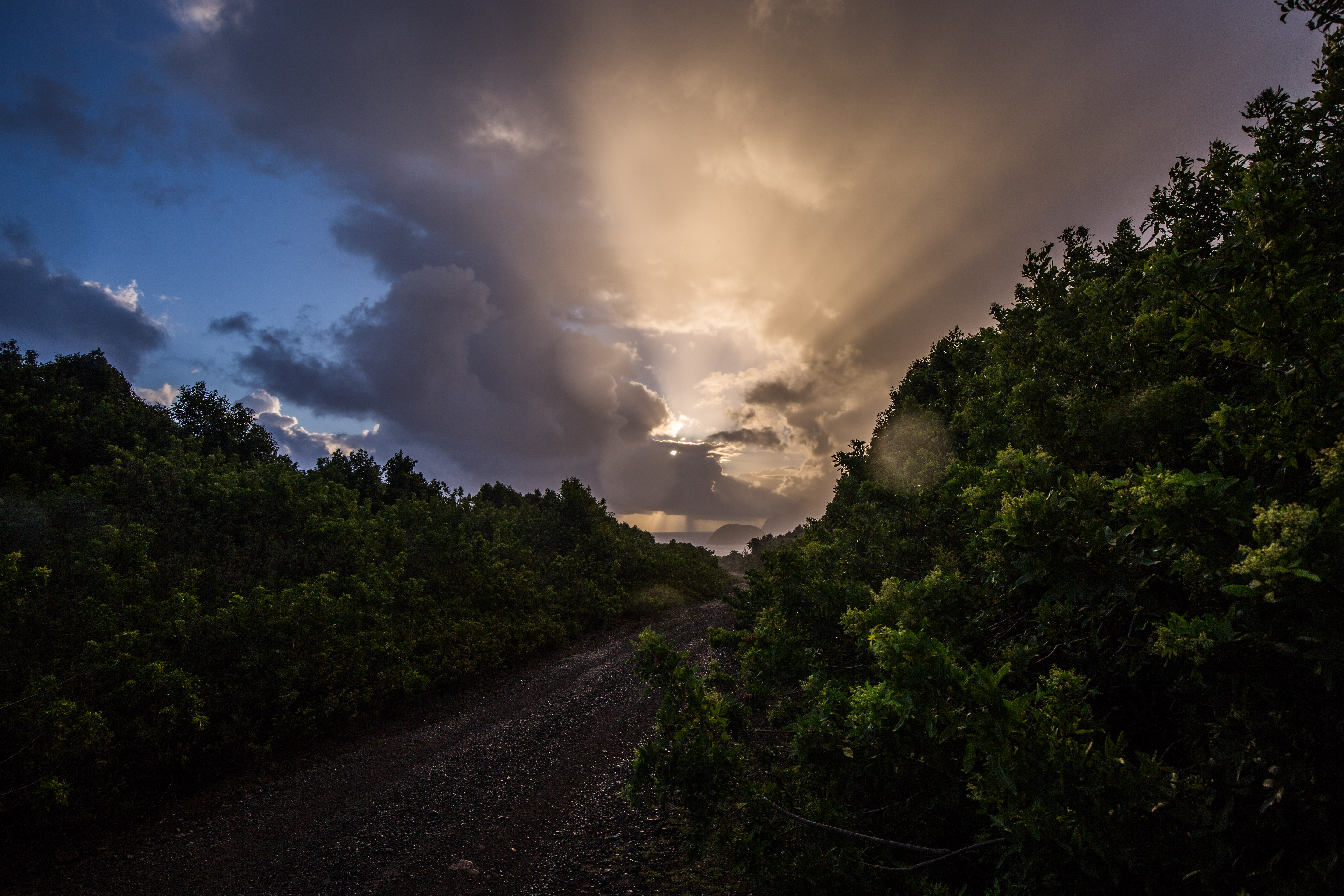
For the first couple days our team consisted of Eric, Sheila, Glauco, myself, and Randall Watanuki. Randall, a long-time employee of Kalaupapa, covered the boating as he was highly experienced with it and had a recent injury that kept him from diving. We started off with some easy sites close to town, on the leeward side of the peninsula. Kalaupapa is subject to high winds, making the leeward and windward sides of the peninsula have drastically different weather.
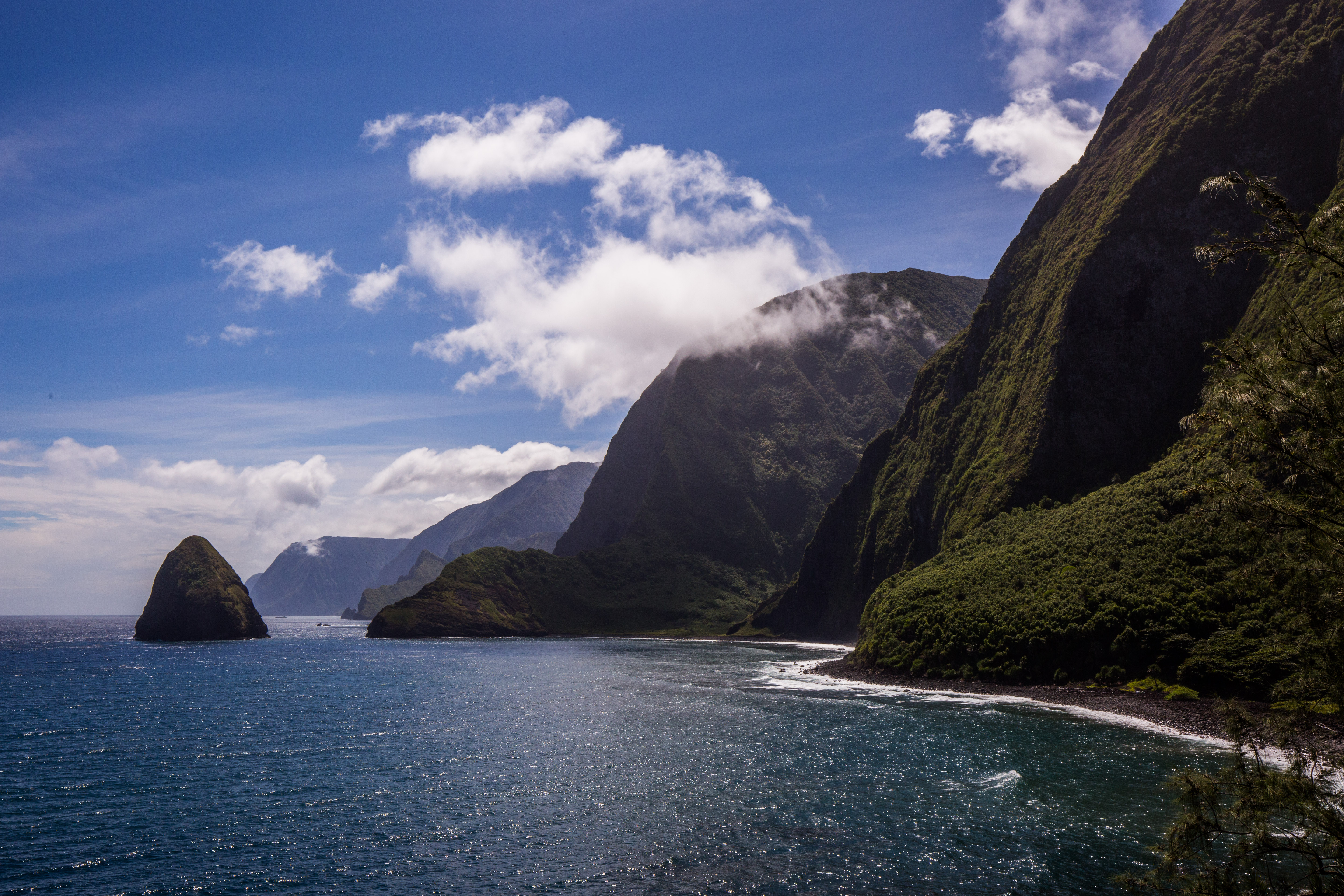
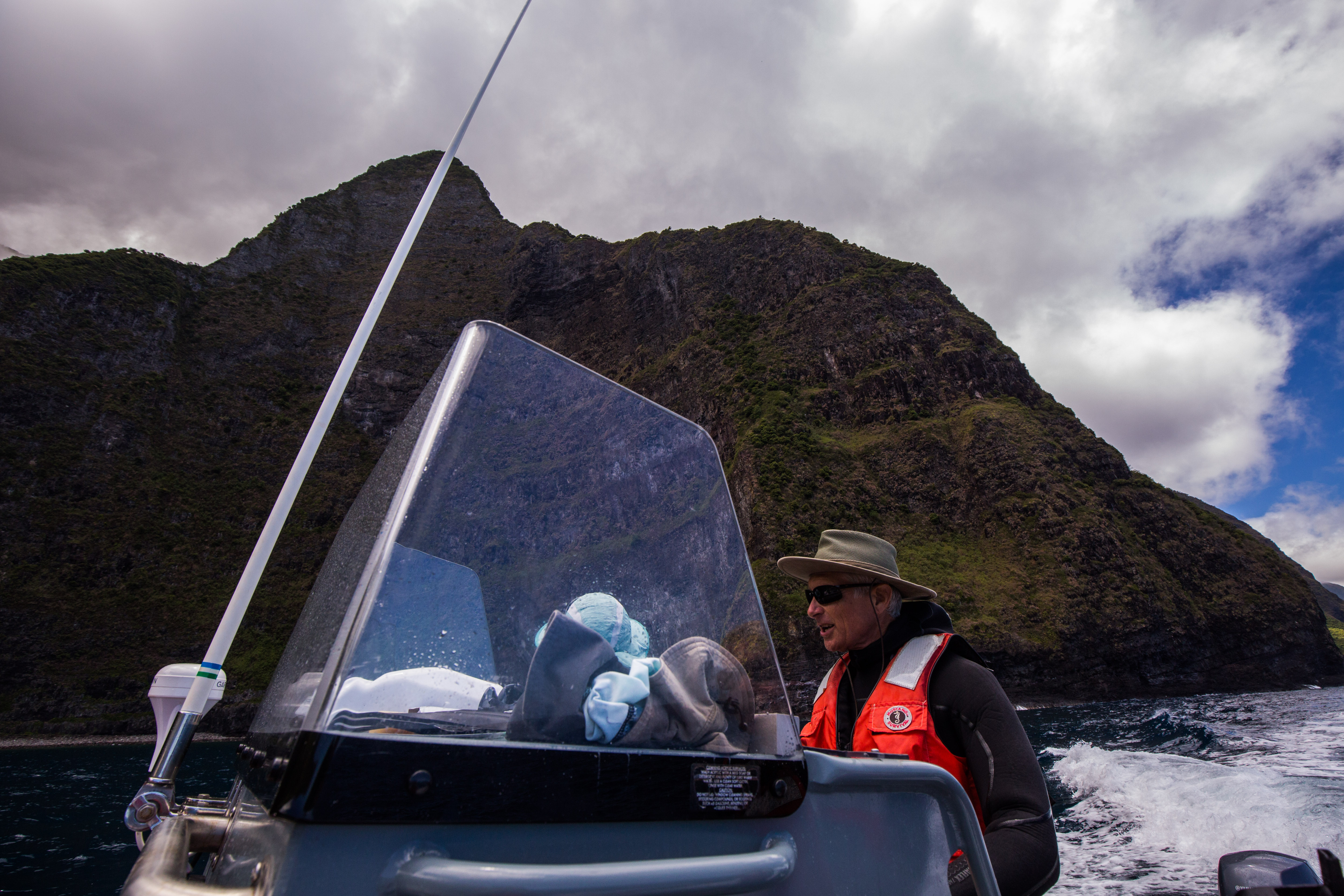
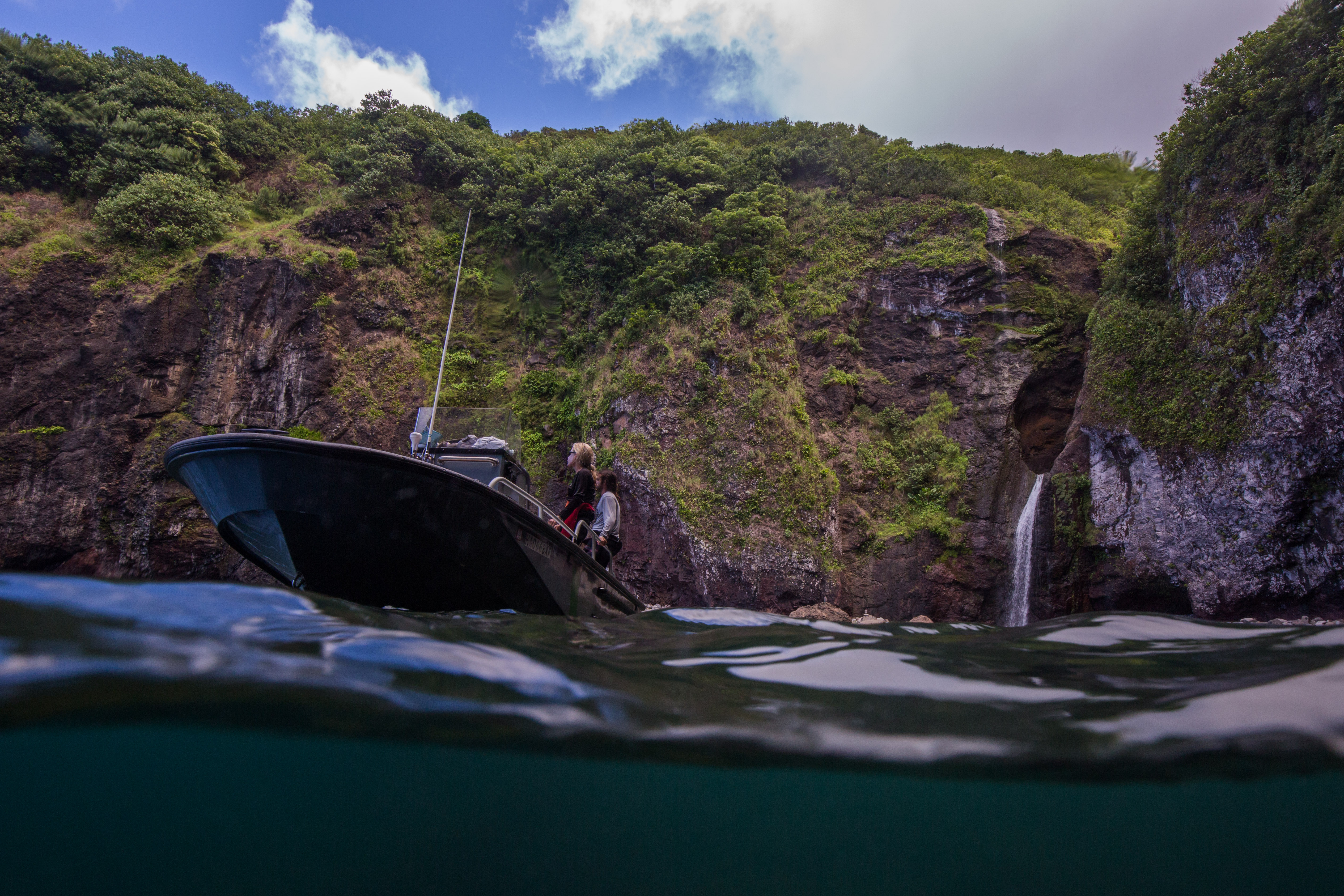
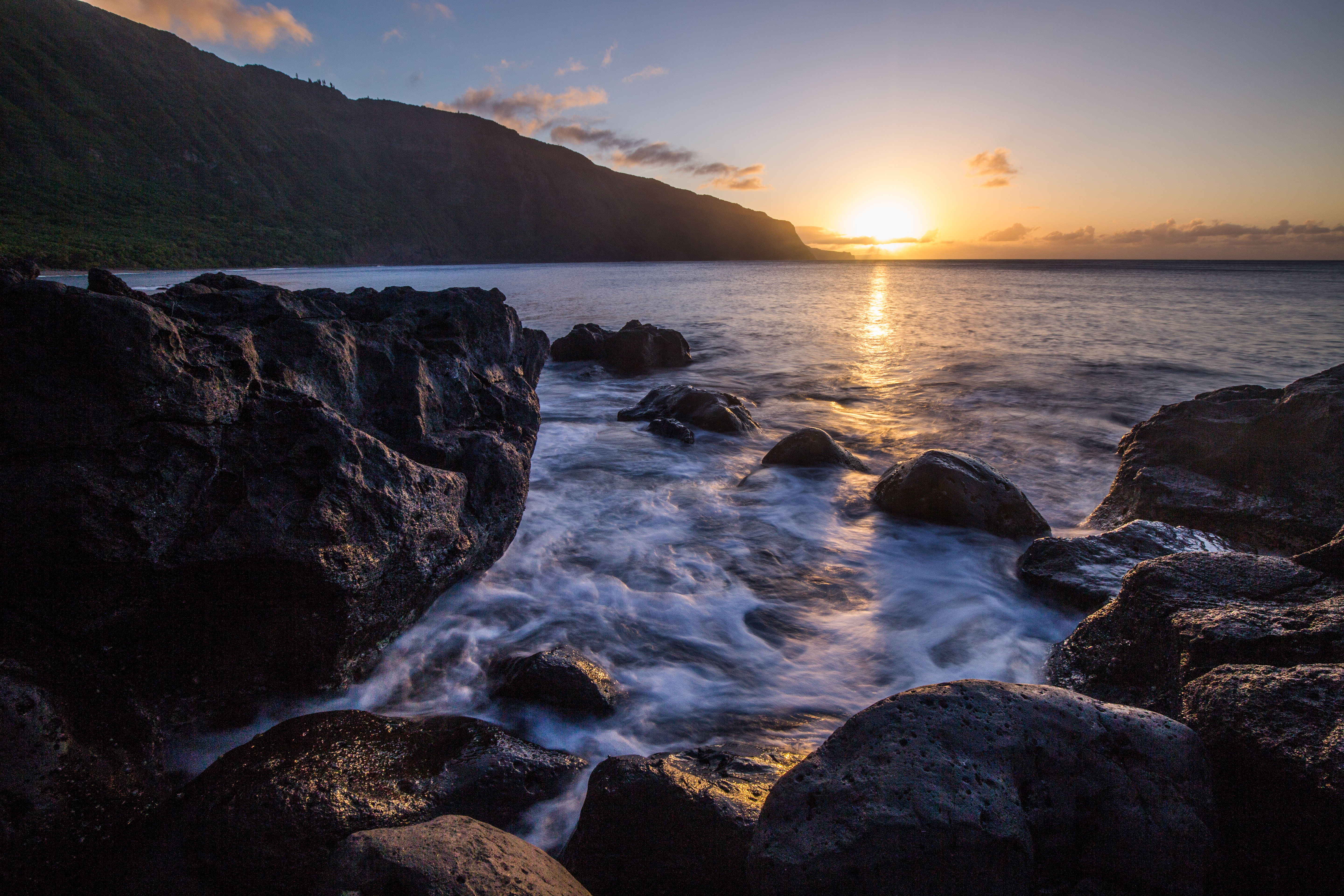
Shortly after knocking out a couple easy protected sites, we got a weather window allowing us to venture over to the exposed side. This area is rarely visited by anyone due to its remote location and exposed nature, so it hosts some of the finest diving on the peninsula. It also has some very dramatic views of the sheer sea-cliffs and assorted islands. The north shore of Molokai has some of the highest sea-cliffs in the world, which made a lovely backdrop for some fieldwork.
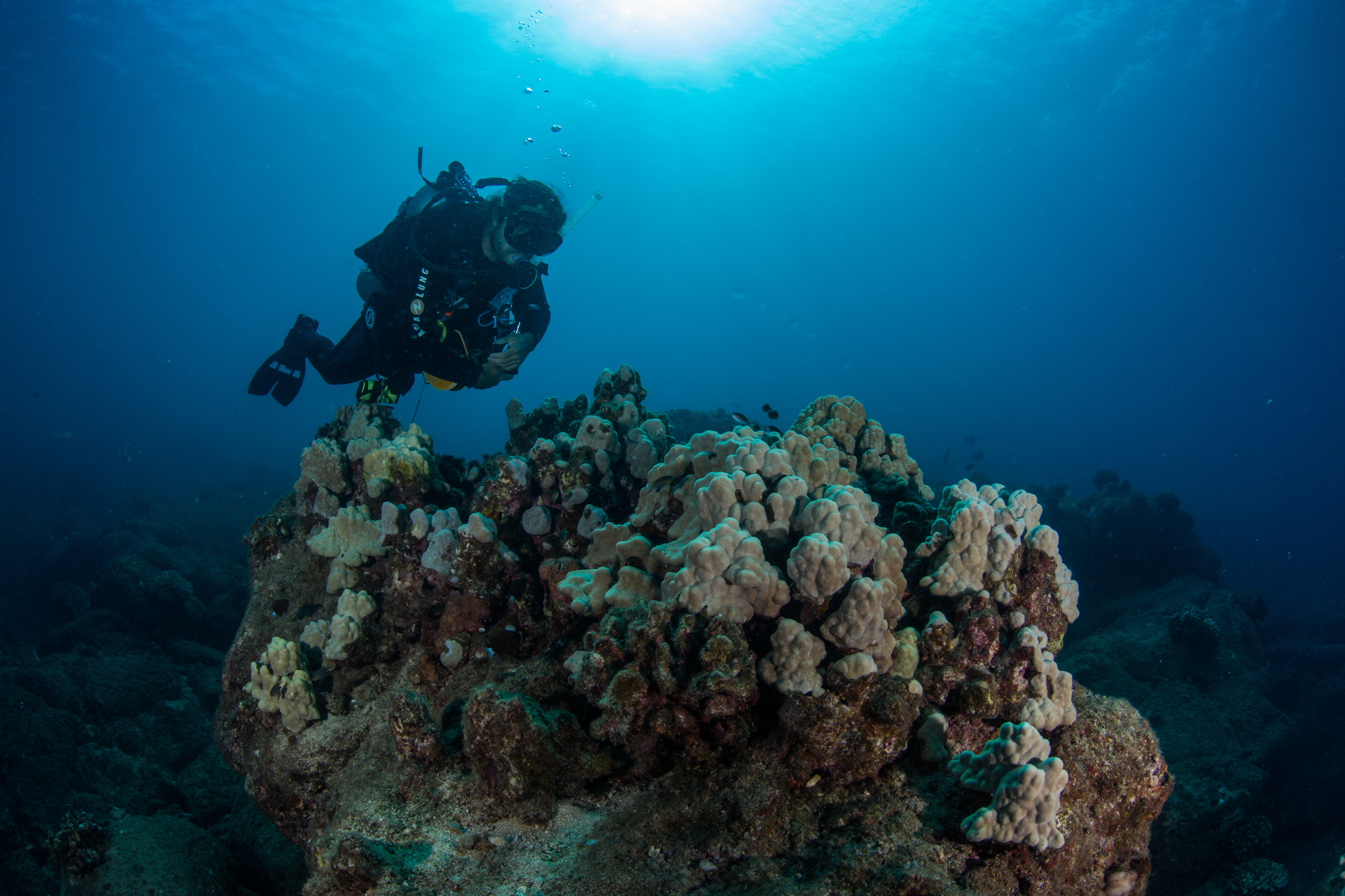
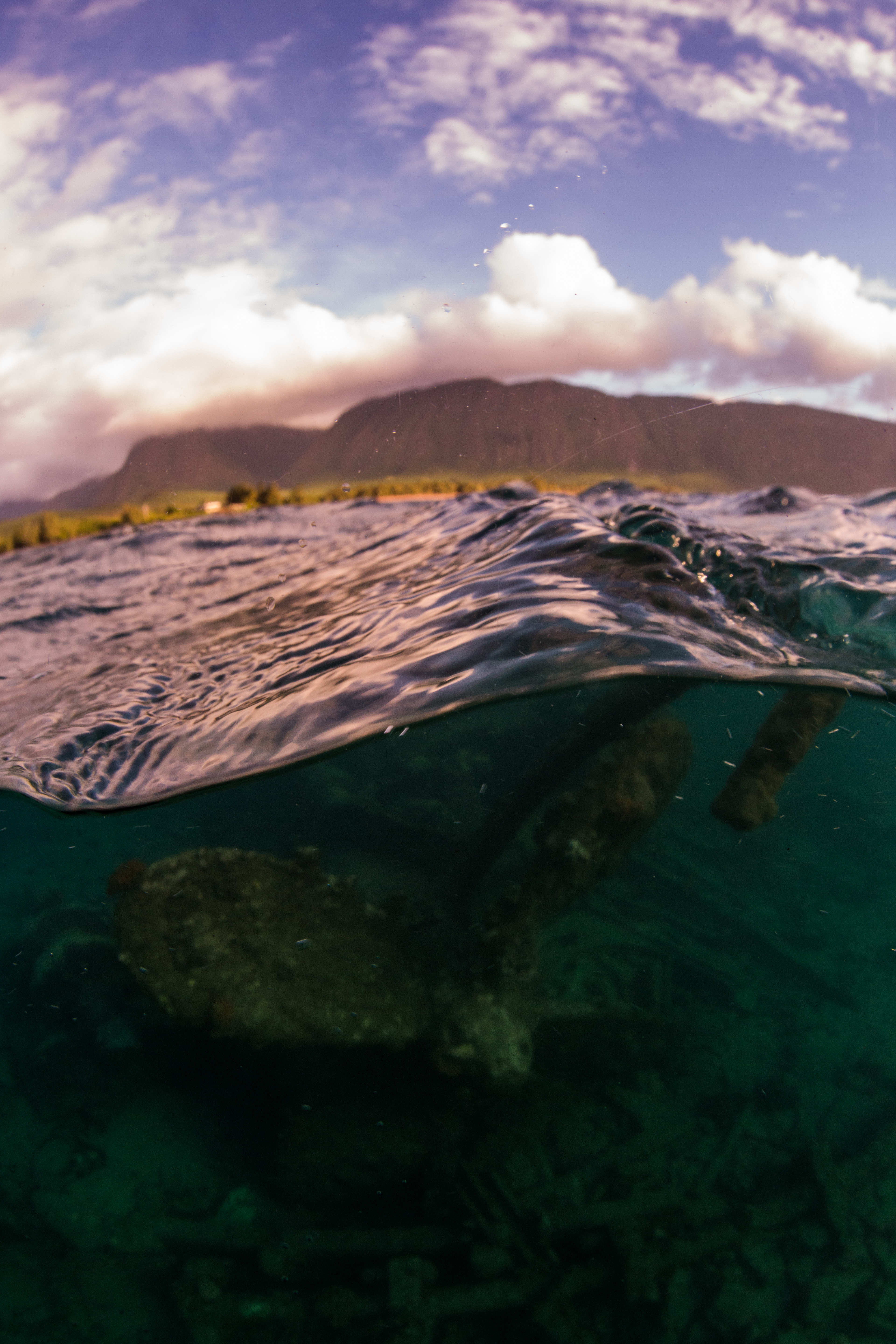
The diving in Kalaupapa NHP was beautiful and different from anything that I’d done before. Unlike a lot of the rest of the state, there aren’t any aggregated reefs surrounding the peninsula, but instead lots of scattered individuals of cauliflower and antler corals. This is a low, but relatively stable, coral cover and is pretty healthy, with a low frequency of disease and bleaching. The seafloor is a lava boulder habitat, composed of primarily large chunks of bedrock and huge scattered boulders, making lots of sharp relief and fun diving. While the corals and rocks are cool, the fish life is what makes Kalaupapa really shine. It boasts a high fish abundance and biomass, the highest in the main Hawaiian Islands. With very little fishing pressure, these fish are free to thrive without fear. These waters were also incredibly clear, with some of the best visibility I’ve experienced.
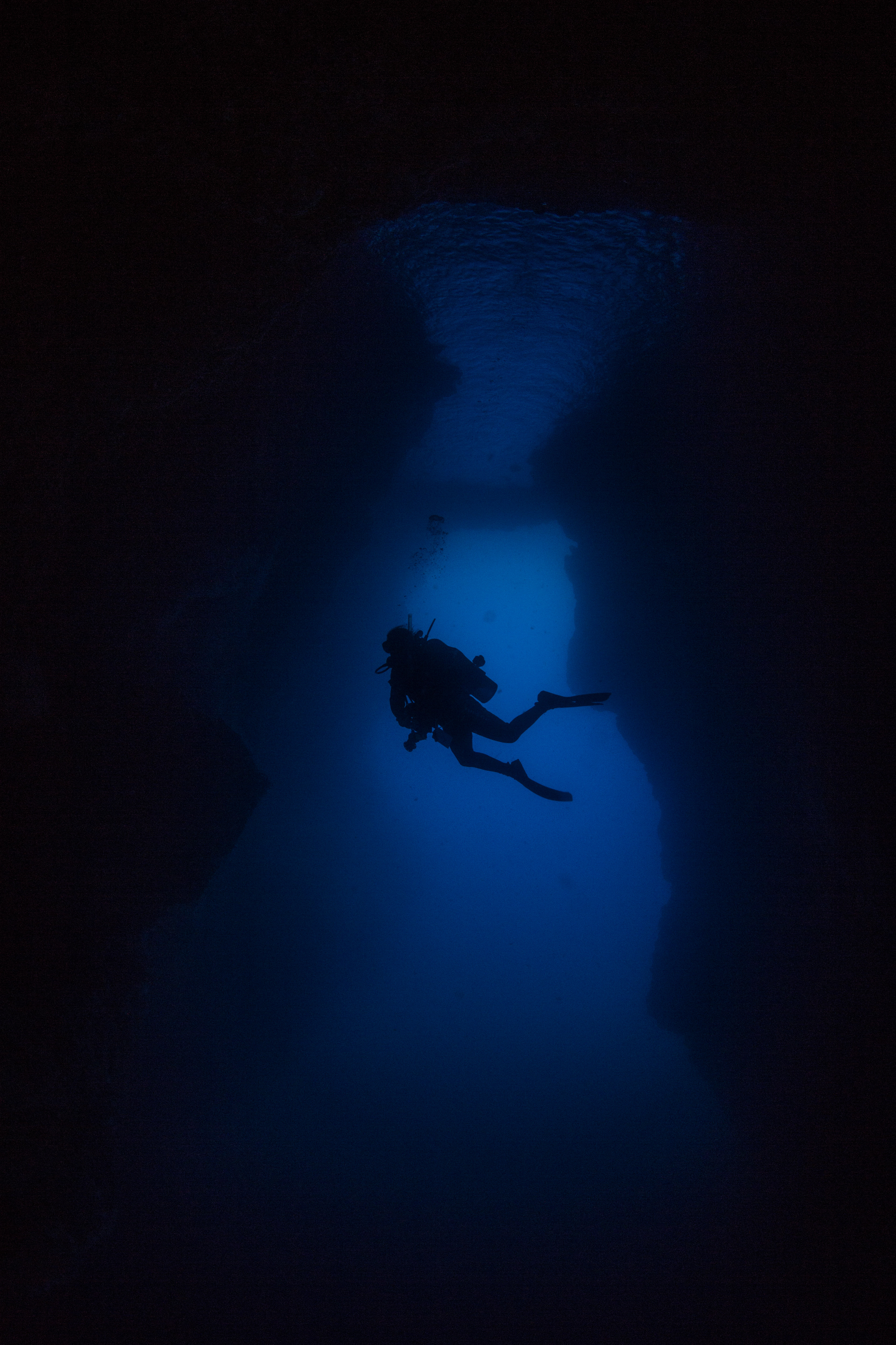
Hidden on the far side of the peninsula was an incredible treat. Underneath one of the few islands dotting the clear blue waters was an awe-inspiring structure – a massive underwater arch, allowing for a swim-through underneath the island itself. Around 70 feet tall and 30 feet wide, this was a truly unique experience unlike anything I’d done before. I had heard about this from past interns and was sincerely hoping I’d have a chance to visit it myself, and thankfully Eric found some time at the end of a long survey day to take us over. Our trip through this arch was made even more special by a visit by two turtles, who gracefully glided around the opening. It really was a dive to remember.
Each dive day was meticulously planned out by Eric Brown. The high potential for rough weather meant we had to take full advantage of good windows to visit the exposed side. Winds could quickly whip up a small craft warning, preventing us from using the boat and from working efficiently. Even when conditions were below that threshold, swell could prevent us from working. It wasn’t really the diving that was hard to do in rough weather, it’s all pretty calm when you’re underwater, but more so the water quality measurements. Certain sites required water samples to be taken from a variety of depths, which typically took about 20-30 minutes of sitting on the deck carefully collecting and securing the samples. This work was easy enough in calm weather, but much more difficult when the small boat is being thrashed around by 3-4 foot waves. We ended getting almost all of our sites done before a small craft warning came through, forcing us to visit our last 3-4 from shore with a little swim (up to 800m offshore).
While out on the water, we visited some of the finest lunch locations I’ve ever been to. Whether it was a view of crystal clear water and seabird-doting islands, sea caves and sea arches, or seasonal waterfalls, each day brought on a new lunchtime treat.
One thing that struck me about this park was how safety-conscious they were. Every morning before going out we all gathered and discussed potential hazards, changes from previous days, and risks to make sure everyone was comfortable and on the same page. We were very careful to have extreme redundancy in terms of communications, bringing 4-5 different ways to contact help if needed. This park was also the best in terms of all the units I’ve visited in terms of using PFDs. As soon as you got back on the boat after a dive, PFD time. Stepping on the boat from the dock? Hope you’ve got your PFD. These precautions are all understandable when considering the remote location and the proximity of any potential help. The Park only has one vessel (the one we’d be using) so any assistance would have to come from elsewhere, the closest spot being on the other side of the island. Safety had to be a big concern.
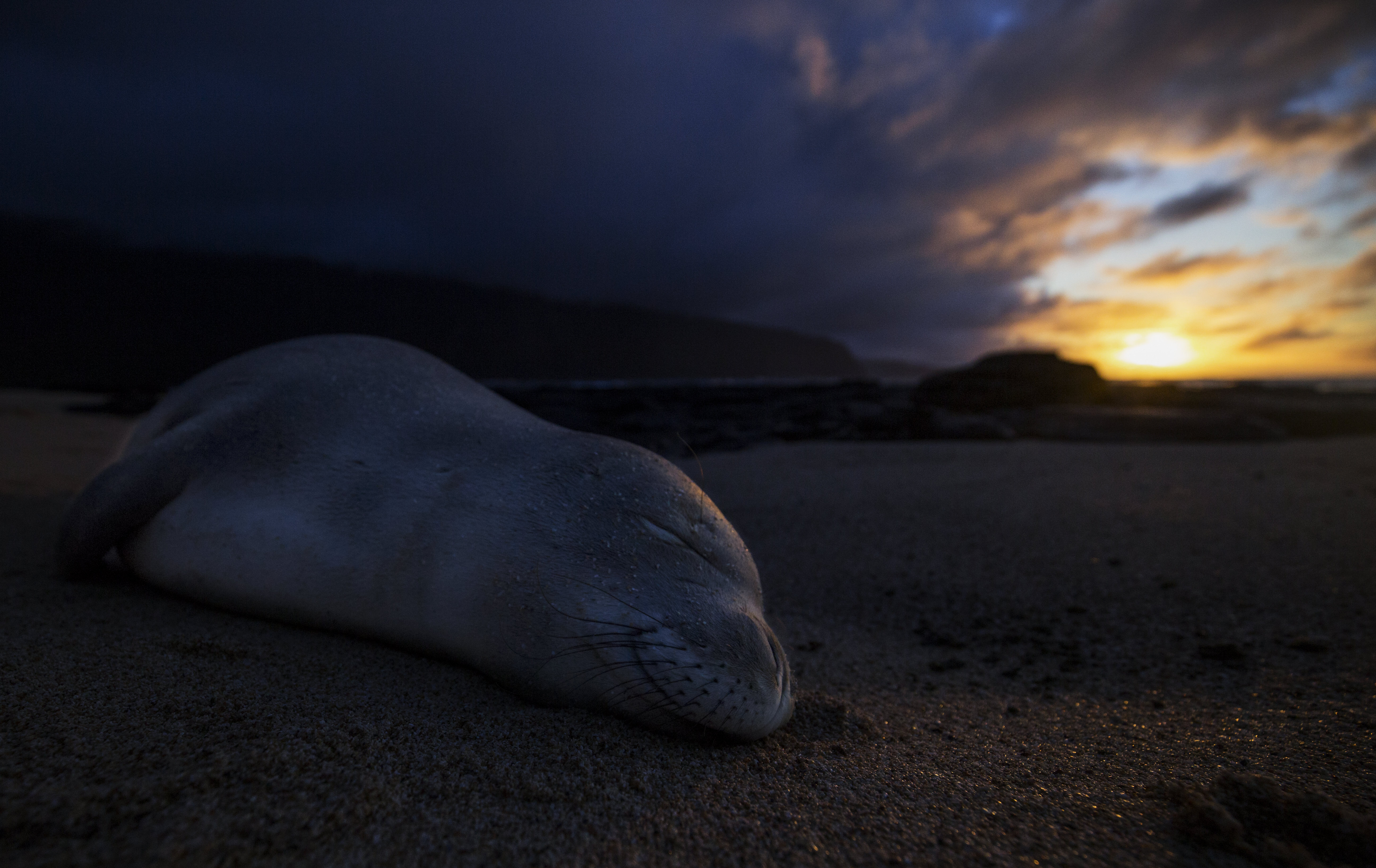
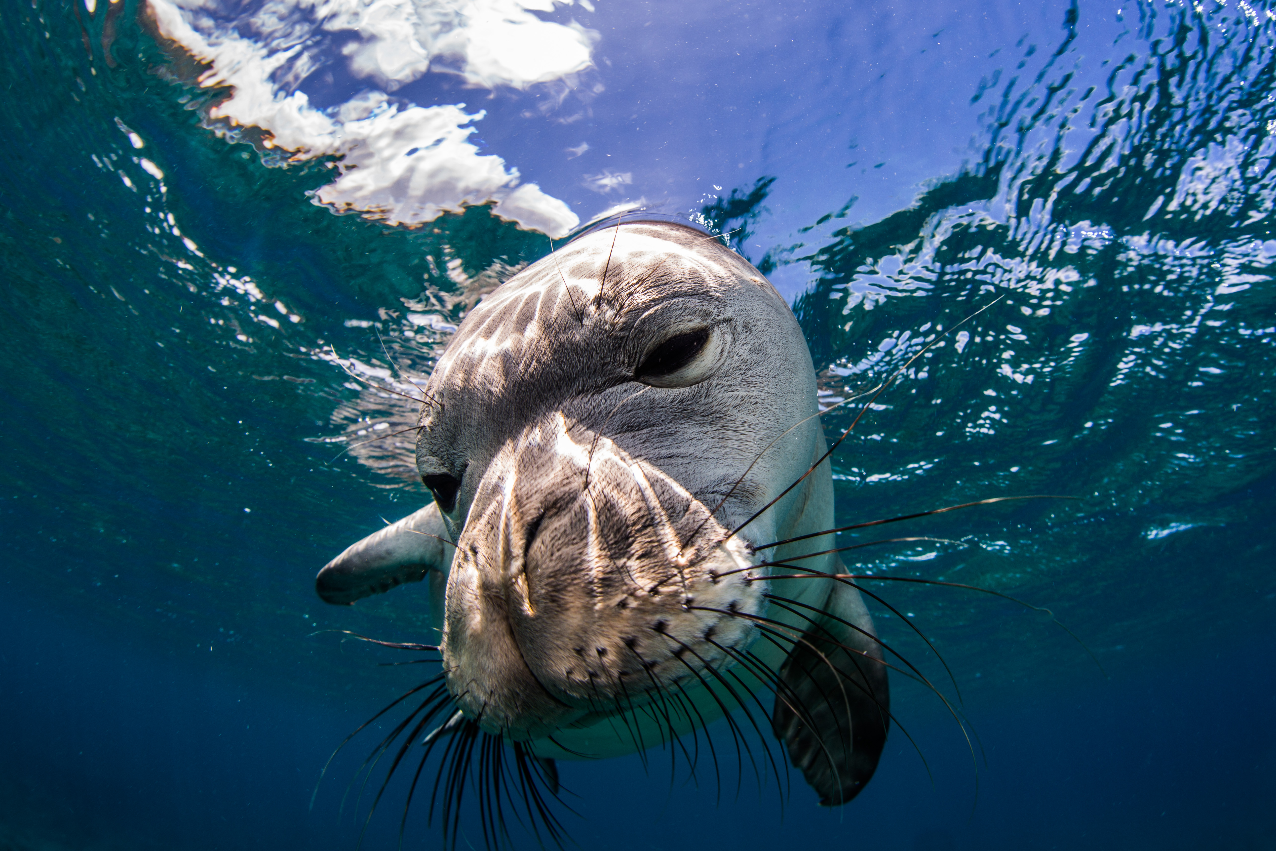
Alongside all of the marine monitoring, I was able to help out with a more land-based survey as well – monk seal walks. I joined Glauco for a couple treks along the coastline, searching for, identifying, and counting any monk seals that we came across. These endangered seals have taken a liking to the Kalaupapa peninsula and have chosen to return here often to pup, making it the number one pupping location in the main Hawaiian Islands. Since 1997, 123 pups have been born on these beaches – a substantial amount considering their small population size of around 1400 individuals, only around 300 of which live on the main Hawaiian islands. I really enjoyed getting to go along with Glauco and get an up-close glimpse of these seals, who spent their afternoons slumbering like logs on the beach. We got lucky on a couple of our dives and were greeted by some underwater, so it was cool to see them on land as well.
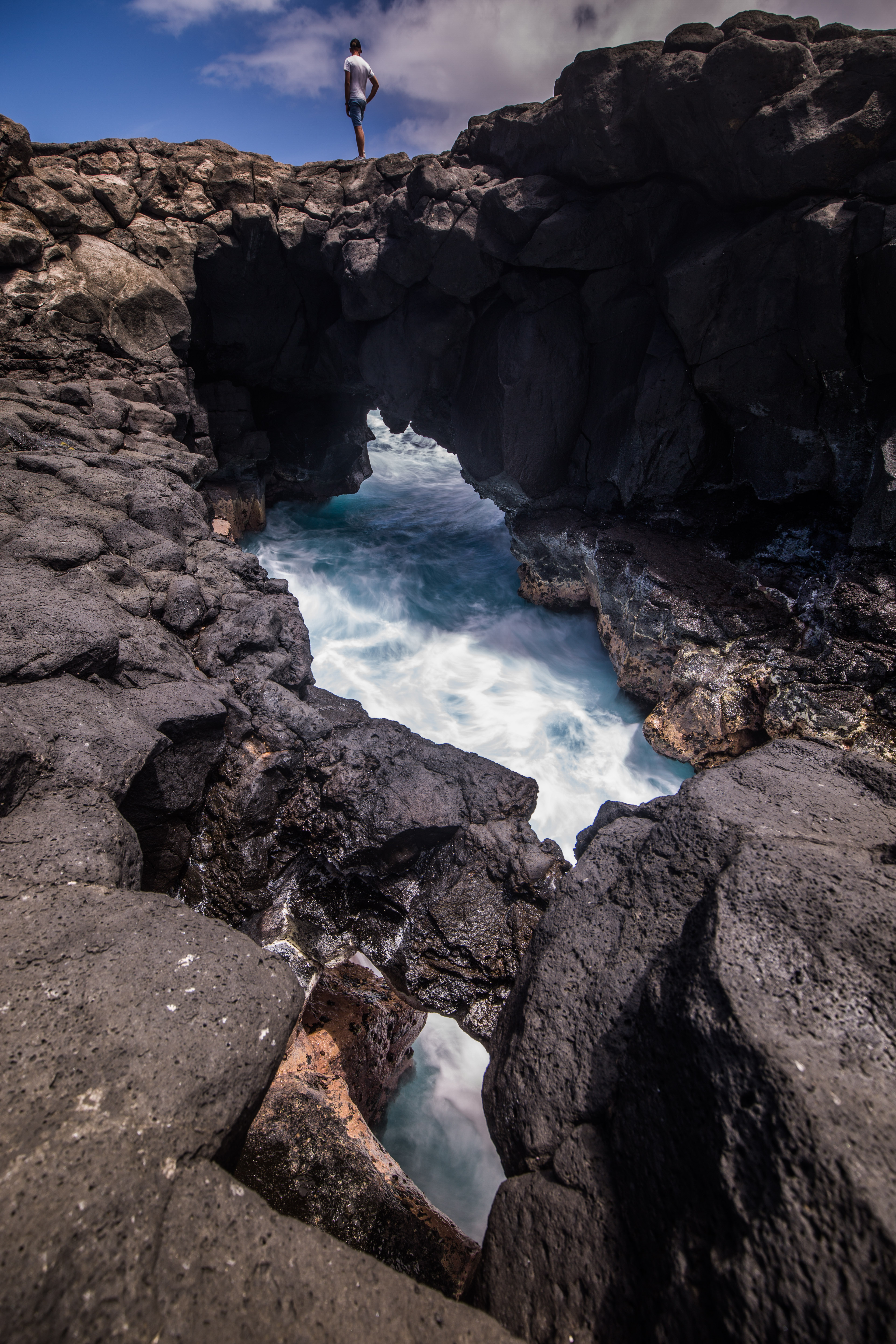
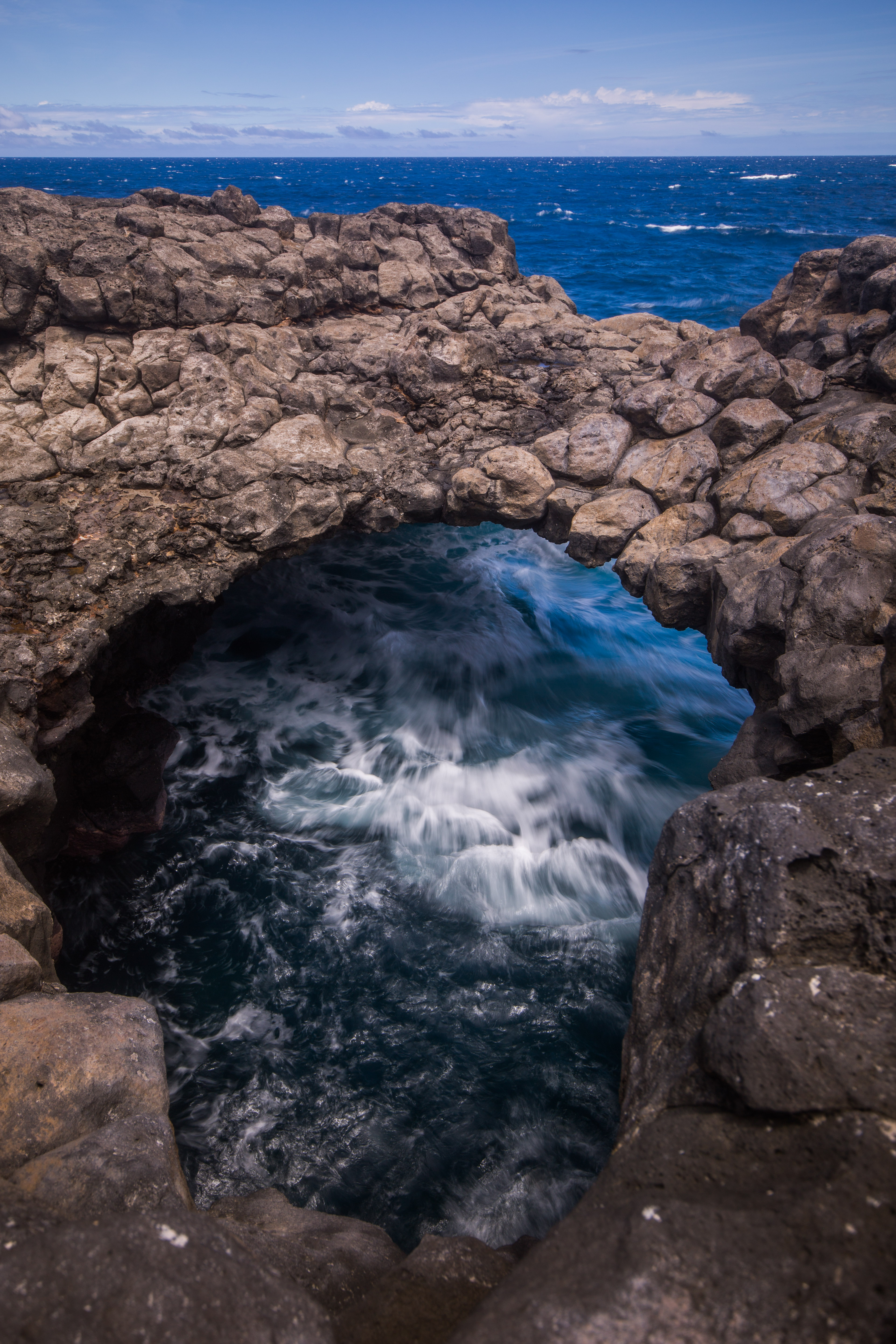
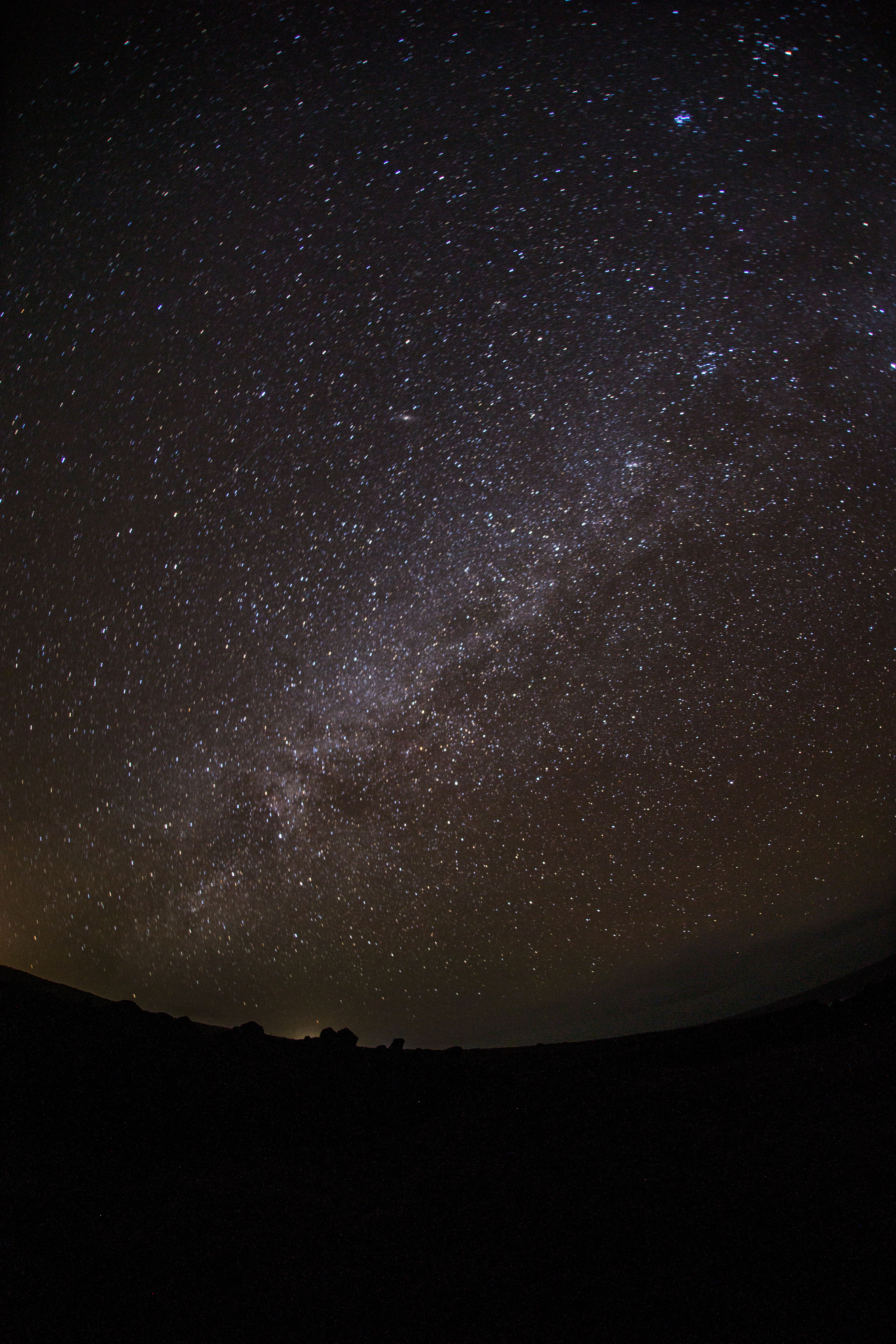
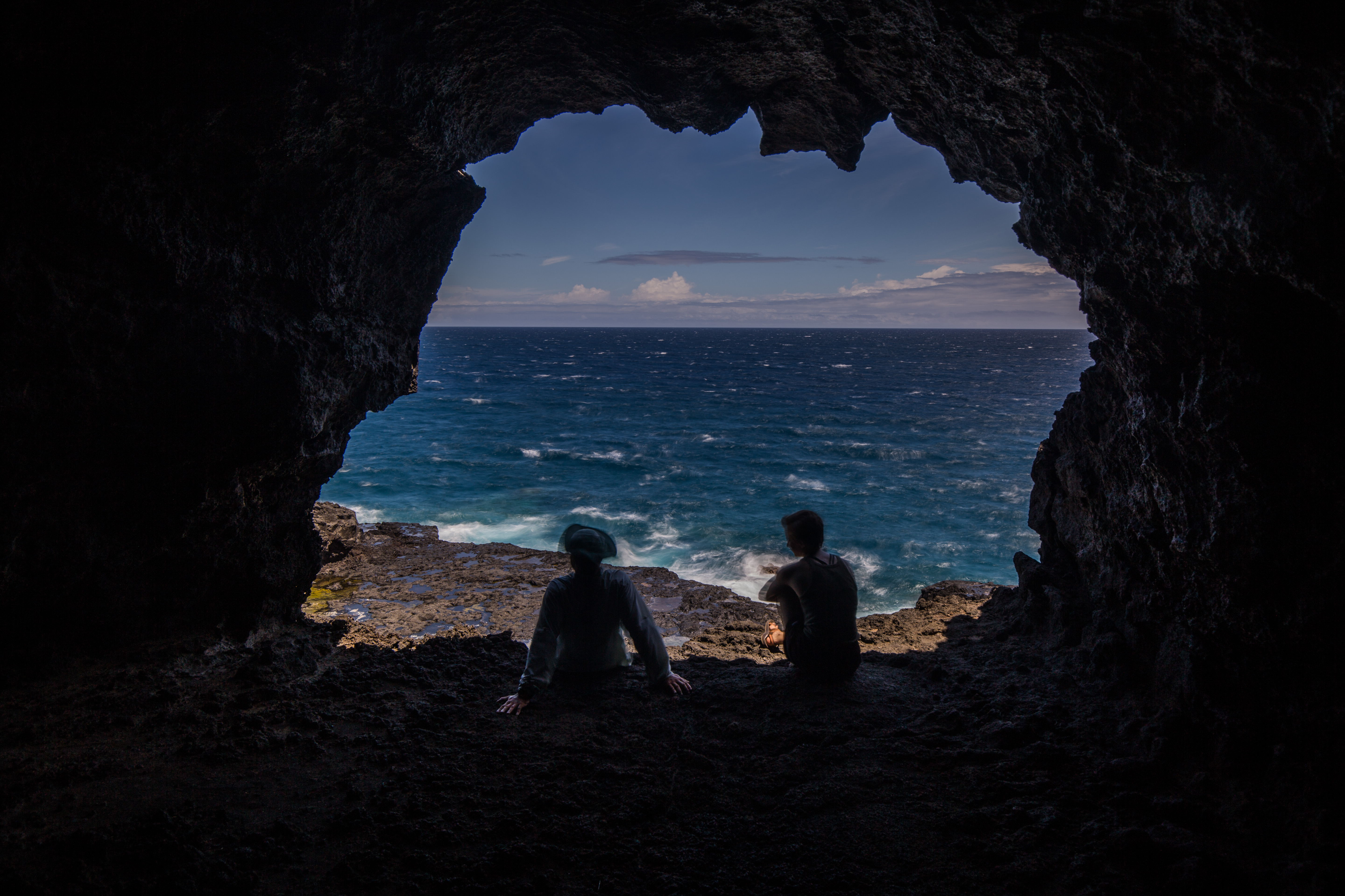
Staying in Kalaupapa for almost three weeks I had ample time to explore around, which was great as there was a lot to see. Just being a Hawaiian Island means it comes with some inherent beauty, but this peninsula had a lot more than blue water and nice beaches (although it did have a lot of those too). Travelling around with Glauco, who made sure to show me all the cool spots, I was able to see some of the treasures that Kalaupapa has to offer – lava caves, sea arches, sea caves with seabird rookeries in them, historic buildings, sea cliffs, and a small lake inside a crater with the greatest depth to surface area ratio of any lake in the world (814 feet deep and 160 feet wide). I took my camera all over with me, taking in the stunning sights and beautiful views.
All of the work that we were doing really highlighted some of the difficulties of being such a remote park unit. Eric told me that, despite the size, the NPS employees for Kalaupapa are the costliest out of any park unit simply because of the expenses of shipping out all the necessary supplies. With no roads leading in or out of the park as the peninsula is flanked by steep sea-cliffs, all supplies must be either flown in on small passenger planes or brought in on a ship. A supply barge comes once a year with various foods, supplies, and equipment, and is a major event for the town.
As well as being remote, Kalaupapa is a small park with an even smaller dive team, so some things ran a little bit differently than other places I’d been to. The compressor where tanks were filled is shared with the town’s fire station. Having only one park vessel meant that help is often very far away. Fueling that vessel is another challenge – the Park’s only fuel source is a small gas station, which is only open one day a week, meaning fueling consists of waiting in a long line as everyone fills up, filling up 6-8 gas cans, and then swimming them out to the boat’s mooring. Lots of things take a couple extra steps. A small team complicates these marine surveys even more, as there are only really two full time Kalaupapa employees who dive. This makes the help of the Pacific Parks Inventory and Monitoring that much crucial, as they not only send out someone to help with the surveys (Sheila McKenna), but also fund a joint biotech with Kalaupapa and the Pacific Parks unit to assist with work like this (Glauco Puig-Santana). This collaboration is crucial to getting the necessary work done.
The size of the town is another thing that really makes this place special. It’s small. Small enough that everyone knows each other, making for a really tight-knit community. Spending a little under three weeks there, I just brushed the surface of how close of a bond this is. Weekly volleyball games, game nights, movie nights are times for the town to catch up and enjoy each other’s company. Travelling around with Eric, who before recently leaving for a new job had spent years living here, I saw how not a single person went by him without saying hello and catching up a bit. Even to me, an outsider, everyone was very welcoming.
Near the end of my time at Kalaupapa, it became apparent that there was interest to see some of the videos I had taken during our survey dives. Pretty much everyone who lived in the settlement had never really seen the marine environment in depth, anything past a quick snorkel near the jetty. There’s a wild and beautiful ecosystem down there right off the coast, but rocky cliffs and rough weather make them pretty inaccessible if you don’t have a boat. With a little arranging from Glauco, we setup a little marine presentation for the town. Eric was to give a quick talk on the state of the marine program and environment, while I would create a short video highlighting their underwater backyard. While taking some time to complete, this video was very well-received and much of the community came up to me afterward to express their wonder towards what lies just offshore. It was a very fulfilling experience, being able to give back a bit to the community that was so welcoming to me, and I’m glad I was able to share a bit of what I’ve been lucky enough to see. This video, if you’d like to see it, can be found here.
In a little under three weeks, we were able to knock out the entirety of our survey sites, making excellent time with a nice clear window of weather. With the marine work winding down for the year, I had to move on. I had one final park left for me on this internship, one that I knew I’d remember for a long time. Pearl Harbor National Memorial, where I’d join their dive team to visit the USS Utah and USS Arizona.

