The last stop on my whirlwind adventure of an internship was American Samoa. Prior to booking the flights, I didn’t even know where American Samoa was, let alone anything about the island that awaited me on the other side of the 6-hour flight. I didn’t even know who was meeting me at the airport! Fortunately, when I landed in American Samoa the night of Friday, September 9th and made my way out of the airport, I looked so lost that I was approached by two strangers who turned out to be Biological Science Technicians Michele Felberg (the 2015 OWUSS North American Rolex Scholar!) and Paolo Marra-Biggs. While I was ecstatic that I was finally here – I have heard so many wonderful things about American Samoa throughout my journey – I was also exhausted from the long day of travel. As we drove to the village of Utulei, where I would be staying with Michele, darkness hid the island from view. Yet still, the sound of the waves hitting the shore along the coastal road and the palm trees faintly lit by the occasional streetlight seemed to taunt me in my tired and sleepy state.

The village of Utulei during the day. The orange trim of my house for the month is barely visible above the trees.
The next morning I woke up to the smell of Michele cooking a Welcome brunch for me. Soon Paolo, fellow park service employee Ian Moffit, and his girlfriend Nerelle, came over, donning me with a lei as they walked in. It was quite the welcome party! Following brunch, Paolo and Michele took me on a grocery run and gave me a brief introduction to the island.
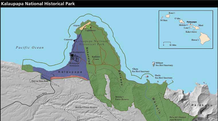
Map of American Samoa
American Samoa is the southernmost territory of the US at 14° south of the Equator, and it consists of five main islands and two coral atolls. Boasting a population of around 60,000, the big island of Tutuila is only slightly larger than Washington DC. Here, there is only one main road and it runs east-west along the length of the island, hugging the dramatic southern coastline. As we drove through what seemed to be taken from the pages of a travel magazine, beautiful blue water gave way to long stretches of sandy beaches on our left, while we passed by mountains flaunting lush green rainforests and towering over quaint villages on our right. The rest of the weekend was a blur of sensory overload as I took in the pristine natural beauty of my new island home, from wading in the shallow lagoon at Coconut Point to looking out over the village lights at night from atop Aoloau.

Coconut Point

Coconut Point
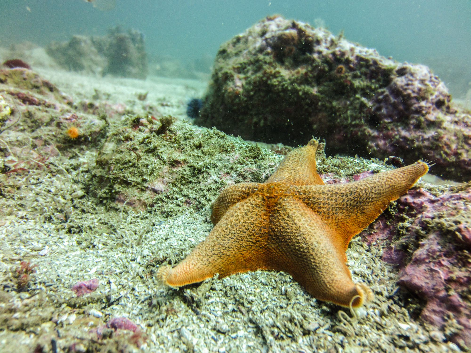
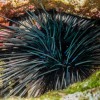
When I arrived at Park Headquarters in Pago Pago for my first day, we got straight to work. The National Park of American Samoa (NPSA) encompasses over 13,000 acres, of which, about a third are marine, which means the marine team is kept very busy! To start us off, Marine Ecologist, Tim Clark, called a morning meeting to discuss the weather forecast and to go over the plans for the week ahead. With the wind and waves holding steady over the next few days, our goal for the week was to tow-board the entire north side of the island looking for outbreaks of crown-of-thorns sea stars (COTS), a voracious echinoderm that feeds on corals.
For the past few years, the NPSA marine team has been monitoring a large-scale COT outbreak on the northern coast of the island. Although these sea stars are native to the Indo-Pacific, because they prey upon living corals, population surges can overwhelm and often decimate an entire reef. Thus, in an attempt to rescue the reefs here, the Park Service has undergone eradication efforts to control the population and return it to a natural level. They have gone on hundreds of eradication dives and killed thousands of COTS, all in hopes of restoring balance to the reef. So, our mission for the week was to determine the current status of the outbreak by locating and documenting the individual COT outbreaks along the coast.
After putting together a Float Plan, a document detailing our plan for the day as well as any and all complications that could arise, we headed to the warehouse to grab the boat and gather the gear. Within the hour we were on the water, launching out of Fagasa, and ready to towboard. Towboarding is a survey technique where two people are towed behind a boat while looking down at the reef. In this case, we were looking for signs of COT outbreaks.

Paolo and Michele being towed behind the RV Poge.

Me towboarding
Traditionally, in an area with a COT, one will see a gradient of discoloration on a stretch of reef, ranging from bone-white, where the most recent meal was, to a faded yellow, where algae has begun to grow overtop of the dead coral skeleton. However, this can be hard to spot from 60 feet above the reef and it took me awhile to develop a search image. Not every patch of bright white on a reef indicates the presence of a COT, as both coral bleaching and coral disease often leave behind a white coral as well. So, for the first few outbreaks, Michele would signal the boat to stop so that I could get a closer look and begin to distinguish COT scarring from bleaching and disease. In some instances, the outbreaks were worse than others and could last a few hundred yards or so, indicating the presence of multiple COTS. Soon enough, I began to recognize COT outbreaks and even found a few of my own!

Typical scarring from a crown-of-thorns seastar. Notice the gradient from bone-white to faded yellow.
When I wasn’t in the water, I was sitting on the back of the RV Poge, the park’s 28 ft Boston Whaler, and recording the data. Any time an outbreak was found, the towboarders would signal me to take a GPS point to mark the location of the outbreak while writing down both the depth and the intensity of scarring. While still keeping an eye on the towboarders, I couldn’t help but take in the spectacular views!


The village of Afono
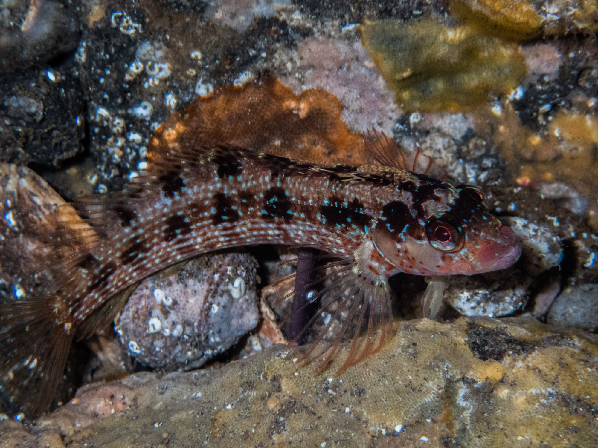
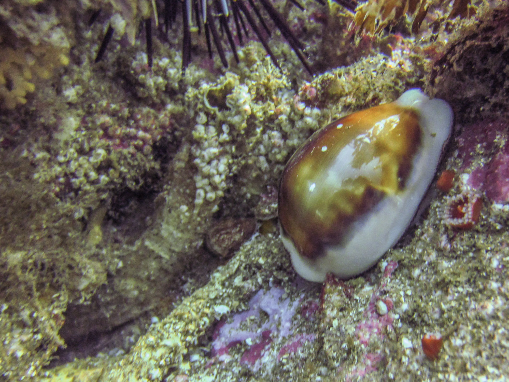
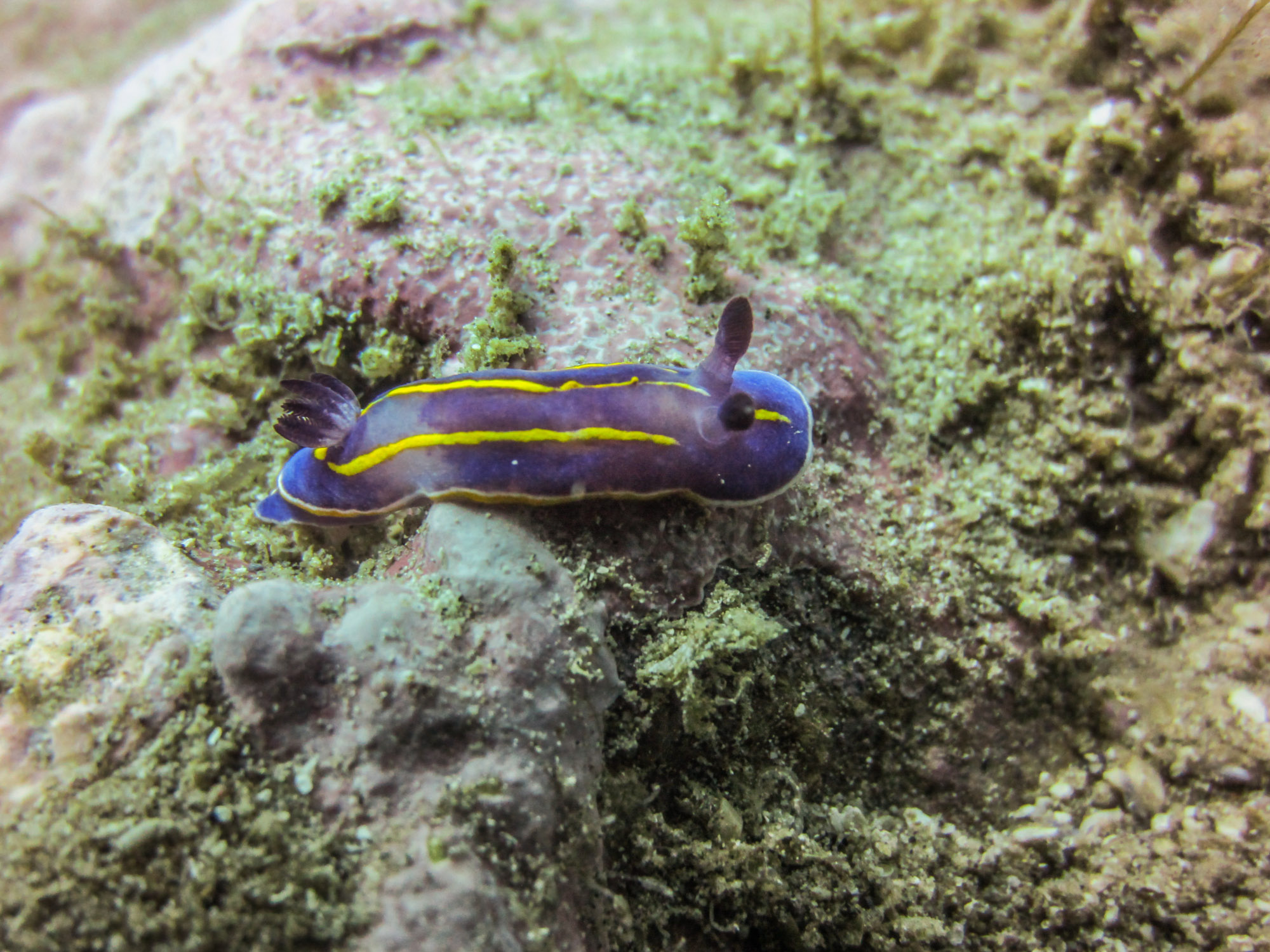
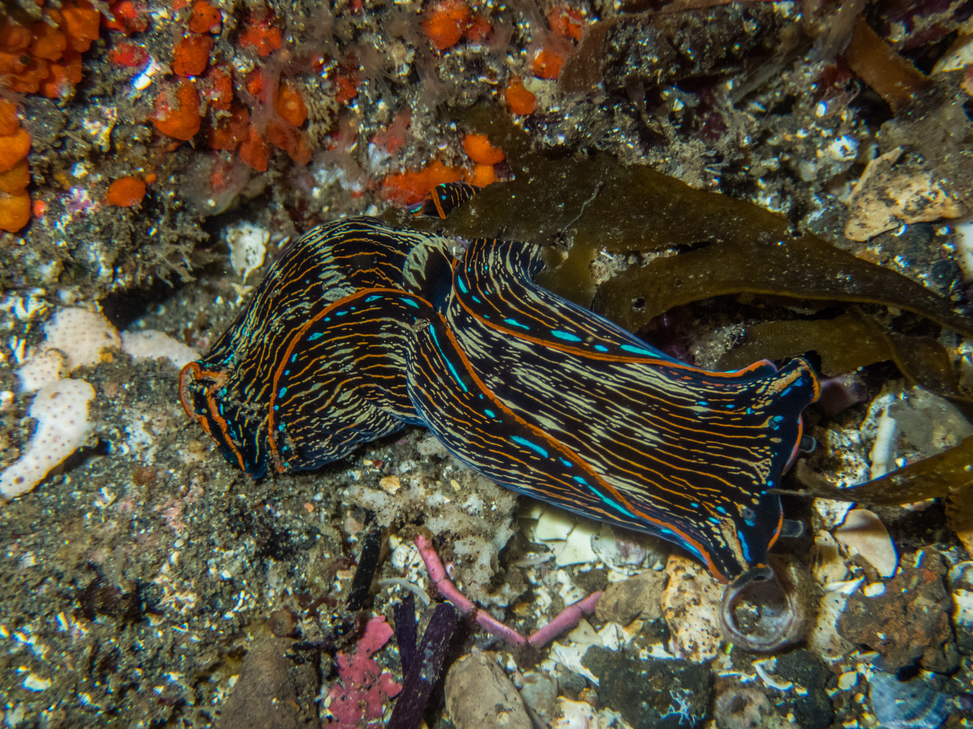
Over the course of the first week, we towboarded the entire north coast (over 30 miles!), both in and out of the park boundaries. You might think that staring at the ocean floor while being towed behind a boat for 8 hours a day, multiple days in a row, would get old, but it was possibly the best way to be introduced to the reefs of American Samoa! Through this process I was able to get a spectacular bird’s eye view of the vibrant reef and I was absolutely blown away by what I saw. Plate corals and fuzzy tabletop corals formed intricate multi-level terraces on the steep reef slope, while boulder corals the size of minivans loomed over small pink cauliflower corals, humorously juxtaposed. Home to over 250 species, the reef was alive with every combination of color, shape, and size of coral imaginable. Never before in my life had I seen such massive and diverse corals! And as an added bonus, while we were towboarding I got to see some charismatic megafauna, including countless green sea turtles, a pod of dolphins, and my first-ever blacktip reef sharks!


After we completed the towboarding, the next task was to take all of the data and compile it into a map so that we could visualize where the outbreaks were along the coast. After receiving a quick lesson from Paolo on how to import the data from the GPS into ArcGIS, Michele and I worked on creating a map of the towboard data. Once it was finished and we compared it to the map with previous years, it was evident that the number of outbreaks had significantly decreased. When we showed Tim, we discussed the next step and whether or not we needed to go on any eradication dives. Since the goal of the program is to return the COT populations to their natural levels and not eradicate them completely, we decided to forego eradication dives for now. Instead, Tim suggested we go on a few GSI collection dives to take care of the one or two larger sections of outbreaks.

COTS Outbreaks, 2014. Courtesy of the NPS.

COTS Outbreaks, Sept 2016. Courtesy of the NPS.
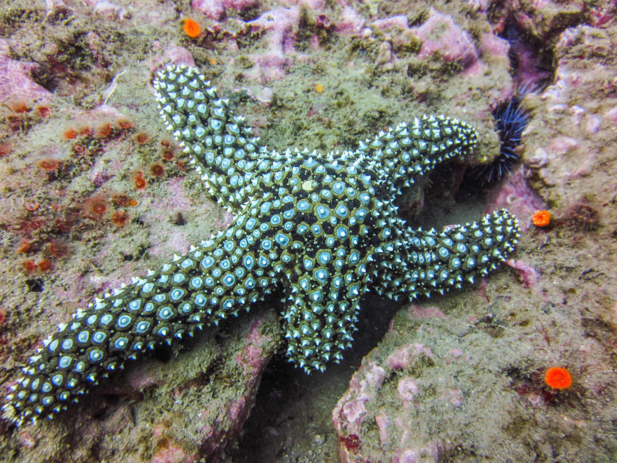
GSI stands for gonadosomatic index. It is a measure of gonad mass as a proportion of total body mass and is used in many different species as way to determine sexual maturity. So, in addition to monitoring and controlling the COT outbreak, the NPSA marine team has begun collecting GSI data on the seastars in an effort to track their spawning cycle. But first we needed some COTS!

Michele checking the pO2 on our tanks before heading out into the field.
With our new mission in hand, we headed into the field to collect a dozen COTS for GSI. With Ian captaining the RV Poge, we sped off to Fagamalo, an area with a concentrated outbreak. Paolo, Michele, and I excitedly assembled our rigs and geared up for the getting in the water. Because COTS are covered in long, poisonous spines, we wore protective gloves and wielded barbeque tongs on our dive in order to protect ourselves when removing the COTS from the reef. Once we splashed, we searched for a patch of reef with heavy scarring, indicating the presence of multiple COTS, and then descended, tongs at the ready. Not wanting to be vulnerable and exposed when predators are out, the nocturnal seastars tuck away in the cracks and crevices of the reef during the day. However, despite the COTS’s best efforts to hide, Paolo and Michele were pros at this and had gathered half of what we needed before I had even finished checking under my first rock. It only took a few more minutes for us to fill the collection bag with a dozen of the little buggers, two of which I collected on my own!

Paolo, Michele, and I ready to dive in!

Paolo and Michele at work searching for those COTS

Michele inspects the full collection bag on our safety stop.


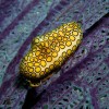
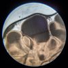
Making sure to keep them submerged in seawater, we brought the COTS back to the warehouse in order to take the GSI measurements. Wet weight, number of arms, and average diameter were all recorded before cutting each COT open. Then came the tedious task of sorting the red-orange tissues of the digestive glands from the paler yellow-orange tissues of the gonads using a pair of tweezers. Once the gonads were completely removed from the COT, they were weighed as well. Finally, before finishing up with a COT it was sexed by looking at the gonads under a microscope. On average, the whole process took about 40 minutes per COT, but the more fecund ones took a bit longer on account of the sheer amount of gonads needing to be separated (over 200g!).

Cutting down the arm of the COT to begin the dissection

Separating the gonads from the digestive tissue
-
- Male
-
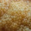
- The gonads!
-
- Female
Unfortunately, during my second week, the wind and waves picked up and kept us out of the field. However, there was plenty of work to be done back on land. While, Michele and Paolo planned for an upcoming outreach event at Coast Week, Ian and I kept busy at the warehouse as a lot of things needed maintenance. The backup compressor needed fixing, the boat trailer needed new brake pads, the RV Malie’s engine needed rebuilding, etc. Together, Ian and I checked each item off one-by-one. When we got to the engine, though, there was not much I could do to help, so I sat and watched Ian take the engine apart as I spliced lines to be used for moorings.

Fixing the backup electric compressor

Ian removes the caliper to examine the old break pads

My first ever splicing job!
As the week rounded out, the wind and waves died down just in time for the culminating festival for American Samoa’s annual Coast Week. With the motto “A healthy coast is a wealthy coast”, the event is aimed at raising awareness for the natural resources the island has to offer and the environmental issues impacting those resources. The NPS, along with other government agencies and local businesses, ran educational tables as vendors sold food, village youth groups put on traditional performances, and South Pacific Watersports hosted competitive outrigger canoe races. With so much to do, the event was bustling the entire day. It was amazing to see the community come together to support the cause and have fun while learning about the environment!

Paolo and Michele running the educational NPS table at Coast Week.

The NPS team took home the trophy at this year’s Coast Week outrigger canoe races.

The taupou, the daughter of the village chief, performs the sacred Samoan dance, the Taualaga.

The Utulei youth group performs a traditional dance with coconut shells.
At work the next week, we switched gears to fish-tracking. Much like the work being done in Kalaupapa, the project here at NPSA is also tracking fish with the use of acoustic tags and receivers. However, the NPSA marine program’s goal is to try to locate the spawning sites of large snappers and groupers that have been severely overfished, in order to inform policies to better protect them. Preliminary work in the park has been promising, so the project was beginning to pick up steam. At our Monday morning meeting, Tim set the mission for the week – expand the receiver array by installing 4 more receivers and tag more fish. In order to prepare for the next few days in the field, I checked to make sure that all of the acoustic tags were still working, inventoried the receivers, and set them up to start collecting data. With the receivers launched and ready to go and plenty of mooring lines already spliced, we were all set for installation.
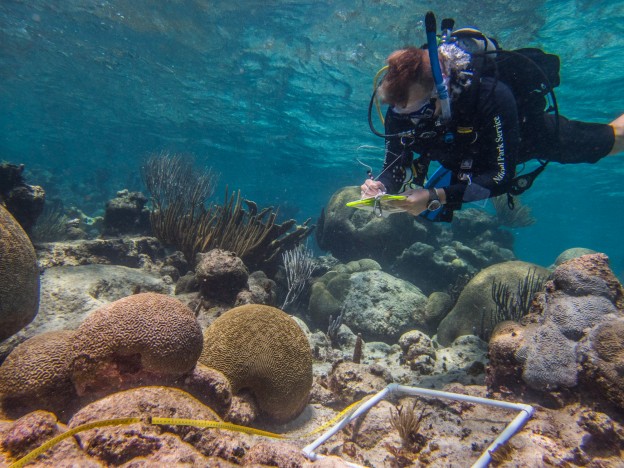
With a preliminary receiver array already in place, we were aiming to fill in the gaps and expand the study area with these installation dives. When we got to a site, Tim and Michele would drop down with a mooring line and find a large, sturdy reef structure at about 80 feet. Once they did, Paolo and I would descend, guiding down a subsurface mooring buoy. This proved to be a difficult task as you can imagine due to the float’s buoyancy, but with the help of some heavy linked chain, we managed to swim it down gently. From there, we secured the line to the bottom and then to the buoy before releasing the chain, sending the buoy shooting into the water column. Since the study was intended to track benthic fish species, the receiver was placed at 40 feet off the reef and aimed down, hence the need for the buoy. Over the next two days, we installed 3 new moorings, replaced one that was fraying, and deployed 4 new receivers.

Paolo, Ian, Michele, and I pose for a picture in front of Pola Island before our receiver installation dives.

Tim preparing for the dive with his rebreather

Paolo heads toward Mooring #8 to replace a frayed line

Red-footed boobies fly overhead as Tim surfaces from the dive in front of Pola Island.
With that done, we spent the next day fishing for the groupers and snappers the study was targeting – specifically, the yellow-edged lyretail, Variola louti, and the two-spot red snapper, Lutjanus bohar. We started off in Tāfeu Cove, a protected bay in the Park where both species have been known to hang out. After an unsuccessful morning, with the only catch being a small untaggable parrotfish, we decided to head around to the other side of Pola Island where known feeding grounds are located. As we rounded the Pola, I got a bite. Following a bit of a fight, with an incision wound to show for it, I finally reeled in the feisty barracuda! While we ended the day empty handed, I was pretty stoked about reeling in both of the catches of the day, even if they weren’t what we were looking for.

I caught a barracuda!
On our way back to Fagasa to take the boat out of the water, Tim noticed the classic arched back of a humpback whale. We immediately stopped the boat to watch. A few hundred yards away, what looked like two or three whales were hanging out on the surface preparing for a dive. Just after they disappeared under the surface, a humpback majestically breached out of the water and landed with a spectacular splash. Our jaws dropped. I have never seen a whale breach before in real life and it was perhaps the most regal thing I have ever seen in the wild! Unfortunately, I was not camera ready, but I did manage to get a picture of one of the whale’s flukes to prove that we did in fact see whales.

The fluke of a humpback whale emerges as it dives down into the ocean.
On the weekends, when we weren’t working, Ian, Paolo, and Michele took care to show me a good time around the island. One weekend, we hung out on the secluded Larsen’s beach. The next weekend, we went on a hike through the rainforest in order to get to Massacre Bay, the site of a massacre that occurred when the French explorer LaPerouse landed there in 1787. Another time, we even got to take Ian’s sailboat out for a spin. Every weekend was a new adventure! I could tell you more, but I think the pictures speak for themselves.

Larsen’s beach

Massacre Bay

Climbing for coconuts

Leaving Larsen’s beach.

The hike down to Massacre Bay.

The memorial at Massacre Bay.

Ian steers us out of Pago Pago harbor

Paolo hoists the main sail
On my final weekend in American Samoa, I was excited to get to experience the traditional cultural holiday known as White Sunday. Over the course of my month stay I have come to learn that, like many other Polynesian cultures, the Samoan people have at their core faith, family, and music. These traditional values are evident in many aspects of their life – from the period of daily afternoon prayer, called sa, to every Sunday being dedicated to spending time with the family, going to church, and preparing the traditional ground oven or umu. However, this Sunday was special. Akin to a Mother’s Day or a Father’s Day, White Sunday is a day dedicated to honoring children. As the name implies, all the kids wear white and some even get special outfits sewn for the occasion.

The children posing after putting on a beautiful White Sunday celebration.

A potluck was served after mass for the children.

A Church prepared for White Sunday.
I accompanied Nerelle and Ian to church that day and had an amazing time. I was immediately welcomed by the close-knit congregation and invited to celebrate the holiday with them. In true White Sunday fashion, the celebration was led by the children and featured all kinds of performances put on by the kids. It was a delightful way to end my last weekend in American Samoa!

Find your Park. I know I did.
I would like to extend the sincerest of thank you’s to everyone who made my month in American Samoa so fun and memorable! Tim for providing the opportunity to come work for your beautiful park and for inviting me to join the marine team. Paolo, Michele, Ian and Nerelle for welcoming me with open arms and sharing with me your adventures and your homes. Adam, Shivaun, Alan, Sabrina, and Bob for the talks on the beach and the hikes through the rainforest. And last, but not least, Alex for sharing with me your friendship and showing me your take on American Samoa. You all made this experience something I won’t ever forget.

The sun sets over the International Date Line, with Western Samoa barely visible on the horizon. “Between here and there is tomorrow.” ~ Paolo Marra-Biggs