Category Archives: Current Internships

Scientific Surveys, Seasickness, and Surprises in St. Croix

The journey begins! The first destination for my internship is St. Croix, one of the U.S. Virgin Islands. I’ve never been to any of the Virgin Islands, so prior to leaving Colorado, I take some time to research the region and brief myself on its history. The largest of the four U.S. Virgin Islands, St. Croix measures in at 82 square miles. Reading this, I expect it to seem absolutely massive in comparison to the eight square mile island on which I lived in Thailand! Additionally, St. Croix is home to not one, but three national park sites: Buck Island Reef National Monument, Christianstead National Historic Site, and Salt River Bay National Historic Park and Ecological Preserve. On land, there are 18th century buildings scattered throughout the Christianstead waterfront, the oldest being Fort Christiansvaern, built in 1738. The five historical structures provide a glimpse into aspects of government on St. Croix during Danish sovereignty, from the colonial administration, to the international slave trade, to the military and naval establishments. 

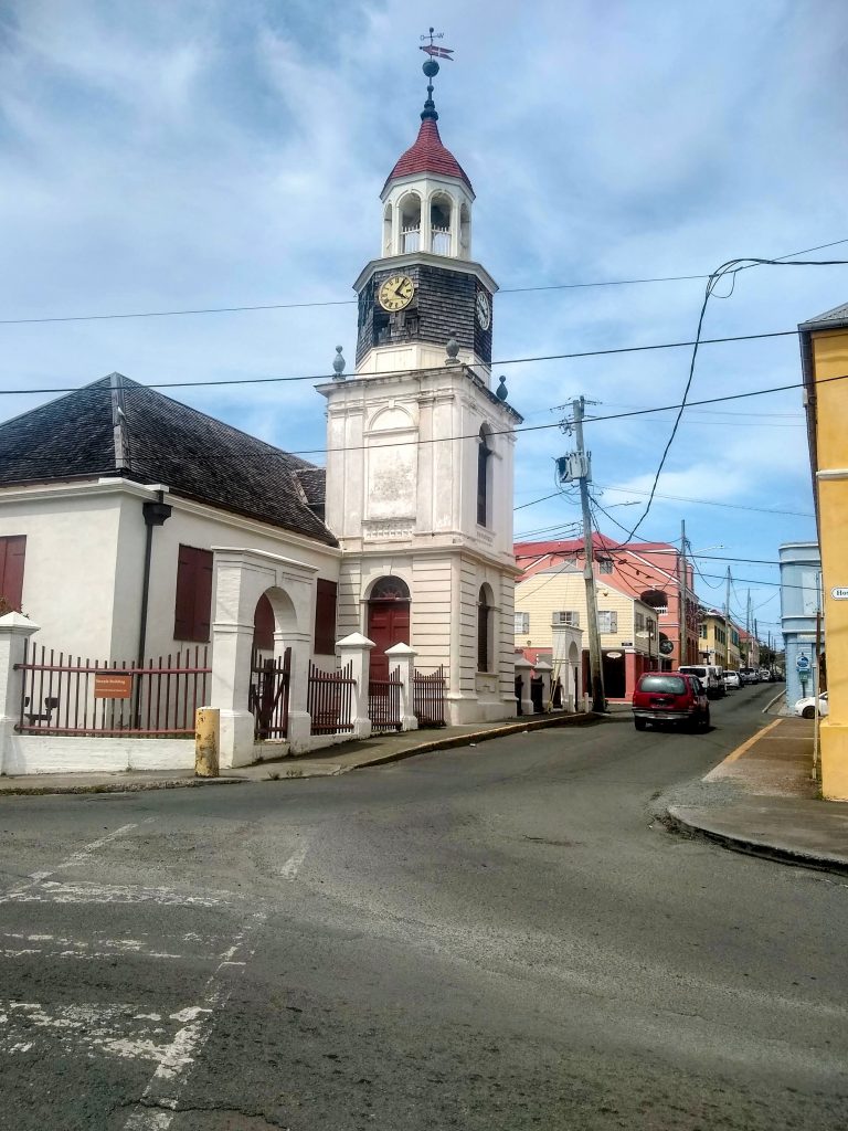
Downtown historic church

The historic buildings in downtown Christianstead offer a glimpse into St. Croix’s history and culture.

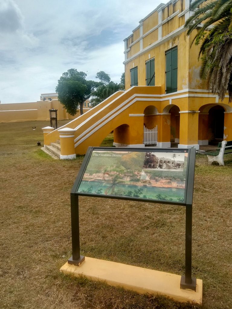
Danish Customs House

The Danish Customs House in downtown Christianstead

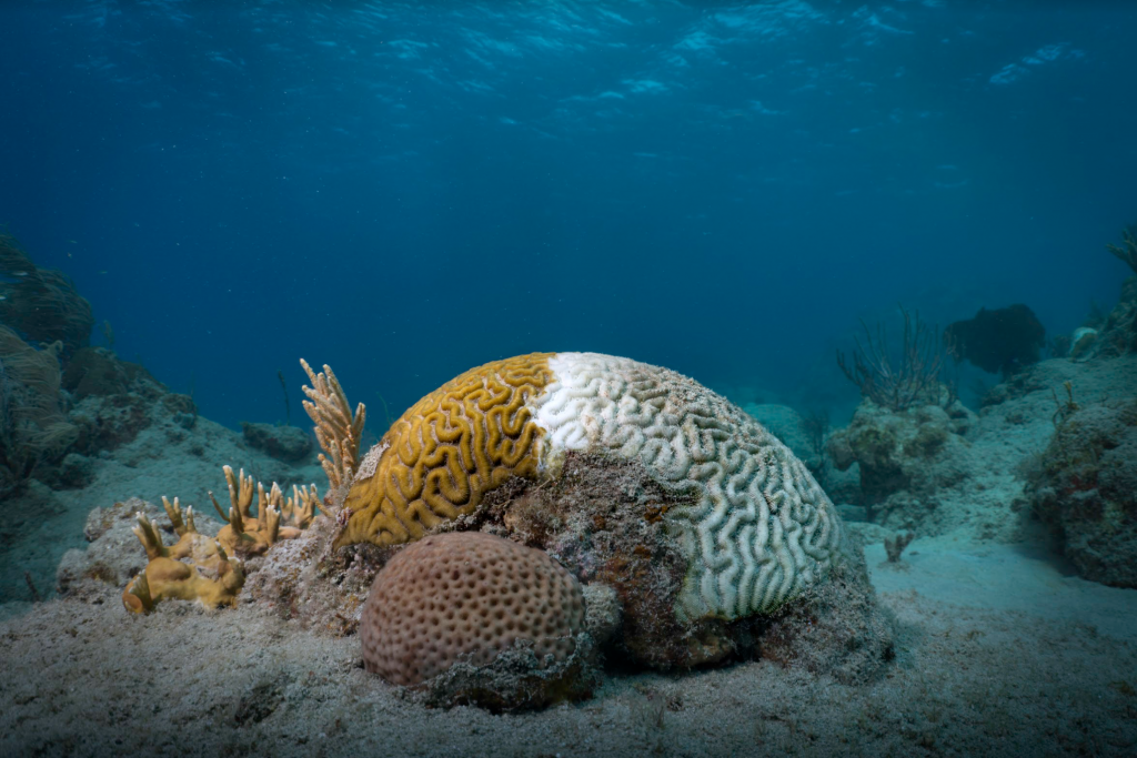
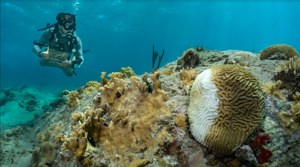
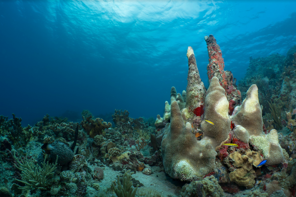
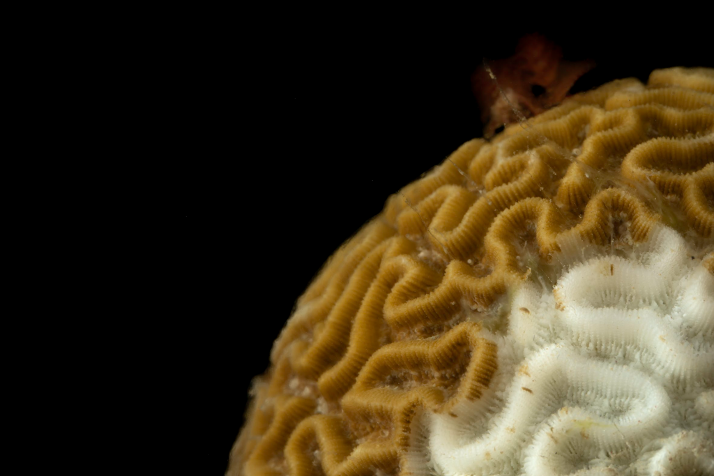
Underwater lies Buck Island Reef National Monument, the first designated Marine Protected Area (MPA) within the U.S. National Park Service. It wraps around two-thirds of St. Croix, and was dubbed by President Kennedy in 1961 as “one of the finest marine gardens in the Caribbean Sea”. Kennedy recognized the scientific, educational, and aesthetic importance of the area, and created the national monument in the hope of preserving its beauty and rich biodiversity for the benefit of the American people. Sadly, the reef has faced a number of challenges in recent decades. Invasive lionfish, hurricanes, disease, and coral bleaching events have all taken their toll. Currently, the biggest threat is Stony Coral Tissue Loss Disease (SCTLD), a lethal coral disease that has been spreading rampantly throughout Caribbean reefs since 2014. I’ve come across the disease before (during my thesis fieldwork in Cozumel, Mexico), and I’m nervous to see the extent of the damage around St. Croix.   

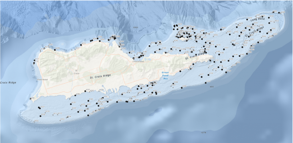
My two week assignment is to assist with the National Coral Reef Monitoring Program (NCRMP), a biannual survey that aims to assess ecological reef conditions such as fish species/composition/size, benthic cover (i.e. which substrates and organisms are present on the seafloor), and coral density/size/condition. Ultimately, the information gathered from NCRMP provides geographic and ecological context to inform and supplement local reef monitoring efforts, and aids general studies of tropical reef ecosystems. NCRMP covers a huge region, including Florida, Puerto Rico, USVI, and the Flower Garden Banks National Marine Sanctuary off the coast of Galveston, Texas. The goal, for our current purposes, is to assess approximately 150 sites around St. Croix during the next two weeks. Typically, the NCRMP team surveys closer to 250 sites, but we’re working with a skeleton crew this year due to travel restrictions for NOAA personnel who are normally involved. Still, there are around 20 people working on the surveys this year, coming from a handful of different agencies: NPS, NOAA, the University of the Virgin Islands (UVI), the Nature Conservancy (TNC), and the Virgin Islands Department of Planning and Natural Resources (DPNR). 

St. Croix Site Map

All of the sites to be surveyed around St. Croix and Buck Island are identified with a black dot. We will try to get to as many sites as possible in the next two weeks.

—–

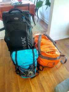
It’s Saturday morning and I finish packing my bags, careful to weigh them so I don’t exceed the 50 pound limit per bag at the airport. I have a good feeling that the portable luggage scale I purchased is going to come in handy for the next few months. I try as best I can to cut the weight down, but I’m traveling for almost four months and need all my dive gear, running gear, underwater photography equipment, and of course, snacks. I end up with two 50 lb. bags to check and one carry-on that weighs around 25 lbs. Of course, I’m not thrilled by the thought of carrying my own bodyweight in luggage, but I reconcile my unease with the thoughts that  I’ll be both extra-prepared and have stronger shoulders by the end of the trip!

Luggage packed

I’ve had many people offer to “carry my luggage” for the duration of my internship. If only I could take someone up on it!

I have an overnight stay in Miami before my flight to St. Croix, and I’m incredibly thankful to have some help finding a place to crash for the night. Steve Barnett, the President of OWUSS, graciously connects me with Kenny Broad, an OWUSS scholar from the early 90’s. Kenny is now an accomplished cave diver, National Geographic Explorer, and professor with the University of Miami. He’s based in Miami and kindly offers me his guesthouse for the night, which I gladly accept. 

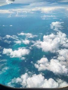
Plane window view

I snagged the window seat on my flight to Miami and caught some gorgeous views.

After a restful night in glorious air conditioning (thanks again, Kenny!), I head back to Miami International Airport to catch my flight to St. Croix. I know that NPS Dive Officer Mike Feeley, my point-of-contact for this project, is on the same flight as me, so I send him a slightly anxious text before boarding. “Hey Mike, just in case I have bad phone service when I land at STX, I’m wearing a grey hoodie w/ black pants and a blue backpack. Will find you at baggage claim. See you in a bit!” Mike texts back with a description of his outfit, but I’ve already been told that he’s quite tall, which ends up being the easiest way to track him down once we land in St. Croix. His height and broad frame sticks out amongst the sea of travelers, and the NPS hat he’s sporting confirms my suspicions that he’s the guy I need to find. Mike is a good-natured, pop music loving fish biologist/ecologist with extensive experience working in the Caribbean. We chat in the airport while we wait for our bags, and are soon greeted by the rest of the NPS crew, Jeff Miller and Lee Richter. Jeff is a coral biologist/disease specialist who’s worked with NPS for decades. Initially, he seems fairly straight-faced, but I’m quick to learn that he has an endless bank of puns and dad jokes that make him and everyone around him chuckle throughout the day. He’s also an impressive athlete, and is the first known person to swim 23 miles unassisted around St. John (one of the smaller Virgin Islands). Similarly, NPS marine biotechnician Lee Richter is an avid athlete and outdoor enthusiast with a seemingly endless supply of energy. Mike, Jeff, and Lee all work for the NPS South Florida/Caribbean Inventory and Monitoring Network, so they’ve spent a lot of time with each other, both underwater and above. They catch up with each other in the car, and Lee and Jeff are more than happy to give me tips on where to run as soon as I express my hope to continue training for some upcoming endurance races after I’ve completed the internship. 

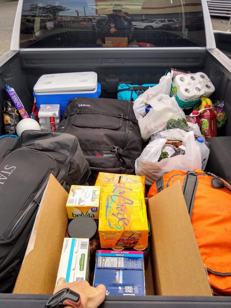
The crew gives me a small tour of St. Croix, starting with the most important locale: the grocery store. (If you haven’t caught on, food plays something of an outsized role in my life.) Groceries are expensive here (welcome to island life), but they have most of the items you’d find in a grocery store stateside. We stock up on supplies and fill the bed of the truck with water, toilet paper, snacks, rotisserie chicken, and barbecue sauce (Jeff needs little more than chicken, barbecue sauce, and pita chips to fulfill his caloric needs). After the grocery store, we head to the condos we’ll be staying at. As we drive across the island, I remember my days on Koh Tao, and can’t help but compare the two islands in my mind. Koh Tao has roaming stray dogs, while St. Croix has free-ranging chickens everywhere. People drive on the left side of the road on both islands, but cars seem to be preferred over motorbikes here. As I continue to make mental note of the obvious differences, I feel an immediate, familiar calm to be back on “island time”. Once we arrive at the condos, I unpack my gear, chat with my roommate, and prep my dive bag for the next day. We’ll be diving first thing in the morning, and I can’t wait to jump in the water.

Groceries in the pickup

Dive gear and sustenance. What else do you need?

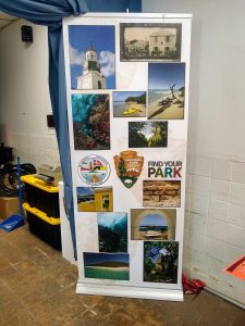
It’s Monday morning, the first day of NCRMP! Before heading out on the boats, the entire team meets for a project briefing at the NPS headquarters in town, located in part of the Christianstead National Historic Site, the Old Danish Customs House. The building was originally completed in the early 1840s, but underwent a complete restoration in 2010 after hurricane damage rendered it unusable. These days the first and second floors are dedicated to NPS park management. We all gather in the building and I eagerly meet more of the team. Most of the group consists of graduate students who are part of the Marine and Environmental Science program at the University of the Virgin Islands (UVI). They have a collective “quirky scientist” sense of humor that I love, but I embarrassingly can’t keep up with the banter. They’re obviously deeply knowledgeable about Caribbean corals and fish, and they throw around scientific names and references with such ease that it makes my head spin. Despite being a little overwhelmed, I’m thrilled to be surrounded by so many people who work in marine science—the atmosphere is filled with excitement and anticipation. We go over safety and logistical information, split off into three different boats, and start throwing gear in the trucks. 

Find Your Park sign at NPS HQ


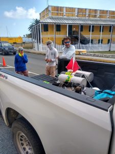
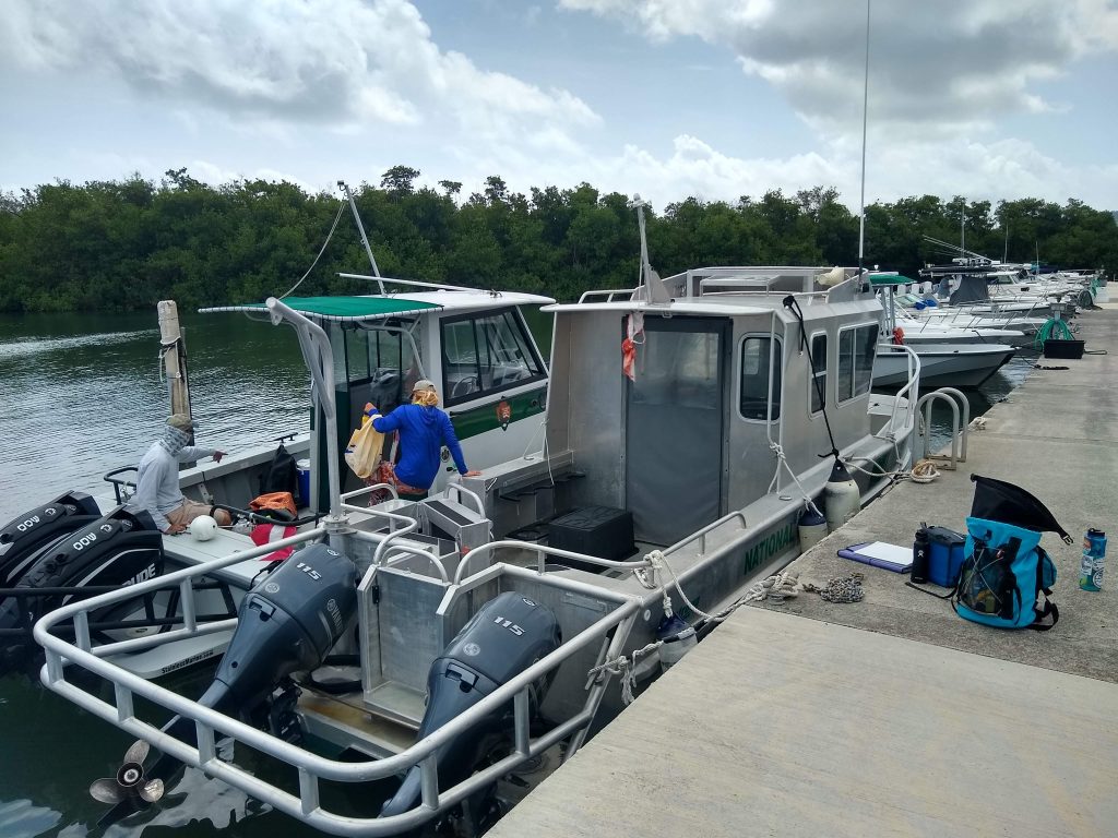
Eddie Boy

Jeff and Kristen start loading up Eddie Boy, our ride for the next two weeks.

To my dismay, I’m told I have to stay out of the water because my dive-physical paperwork hasn’t yet been sent from the doctor’s office to the NPS. Trying to make the best of it, I plan to use the day topside as an opportunity to review survey protocols and study up on local fish and coral identification. I’m on the NPS boat, Eddie Boy, with Mike, Jeff, Alex Gutting, and Kristen Ewen. Alex and Kristen are both alumni from the graduate program at UVI, and continue to pursue coral reef research and fieldwork. Kristen is a Biological Science Technician and Dive Safety Officer for the St. Croix park, and shows a level of dedication to her work that I find quite impressive. She has wrangled rats (it’s a constant battle to keep them off of Buck Island), saved turtles, and helped rebuild coral nurseries around the island. Alex has also been pivotal in the island’s coral restoration efforts, and currently works for the Nature Conservatory as St. Croix’s Coral Conservation Coordinator. They’re both laid-back, proactive, and extremely knowledgeable about the local underwater ecosystem. I’m eager to learn from them and, more especially, to dive together. 

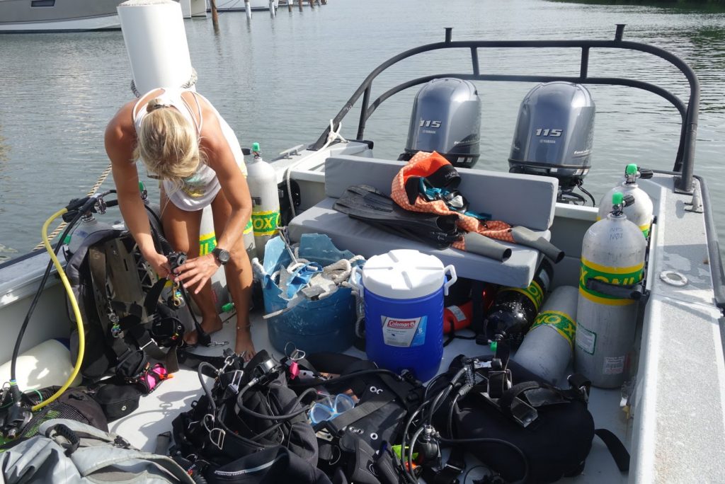
Alex setting up gear

Alex assembles her dive kit on the boat

After shuffling tanks and gear from truck to boat, our team takes off. The run to the first dive site goes quickly, but I soon notice things going wrong. A headache develops. My stomach starts to turn. I’m incapable of taking my eyes off the horizon without the feeling of nausea. The familiar, yet dreaded, feeling of seasickness begins to set in. 

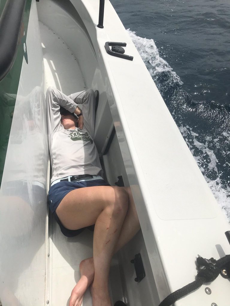
I’ve dealt with seasickness before, but normally it subsides as soon as I jump in the water and head underwater. Today, however, I’m stuck on the boat for the day, and I have no other option but to fight it topside. Ultimately, I lose the battle. For the next few hours, I alternate between leaning overboard to provide food to the fishes, and laying in a corner of the boat deck with my eyes closed, listening to the rest of the crew jump in and out of the water. Thankfully, everyone is sympathetic. I feel significantly better once we get back to land. We spend the drive home exchanging war stories. In an attempt to mitigate my self-consciousness, Jeff tells a story about another intern. “This poor intern,” he starts, “we pick her up on her first day and take her to this local restaurant, great spot we think, and we all have dinner. The next day the food poisoning kicks in and we have to take turns jumping off the boat and swimming downstream for a few minutes to get everything out between dives. Just terrible.” I take a moment to appreciate the fact that I only had to deal with vomiting, and not other forms of GI distress. We stop at the store to stock up on Dramamine, and I cross my fingers for a more successful day tomorrow. 

Seasickness stinks

My favorite spot on the boat for the first two days of the project.

To my dismay, Tuesday isn’t much better. The waters around St. Croix are normally choppy, but even the most seasoned divers are getting sick today. Eight-foot swells knock the boat back and forth all day long. I manage to make it in for the first dive, but even with a healthy dose of the anti-seasickness pills, I’m not able to keep it together for the whole day. Back to the floor of the boat for me. 

The first two days are mentally challenging. Seasickness isn’t something you can just will away, even when you try your hardest. Once your inner ear starts disagreeing with your eyesight, the brain reacts with a burst of stress hormones, and suddenly you’re incapacitated—physiologically convinced that you’re in the spin cycle of a washing machine. I find it especially difficult to deal with seasickness when other people around me don’t have it. In this case, it makes sense that I am the sole victim, seeing as I haven’t been on a boat in the last year, while my crewmates spend many of their workdays out at sea. Despite knowing this, it’s tough to spend the first two days of the internship I’ve anticipated for over a year feeling absolutely awful and, to that end, incapable of diving or helping the crew. Is this how it’s going to be all summer? Am I not cut out for this? Anxious thoughts preoccupy my mind for much of Tuesday. I’m supposed to be working and contributing, not sitting on the sidelines. I worry that my crewmates are starting to question my abilities as much as I’m questioning myself. Desperately hoping to get past this, I try to draw from my ultrarunning experience and focus on problem-solving. What can I control? How can I fix this, going forward? 

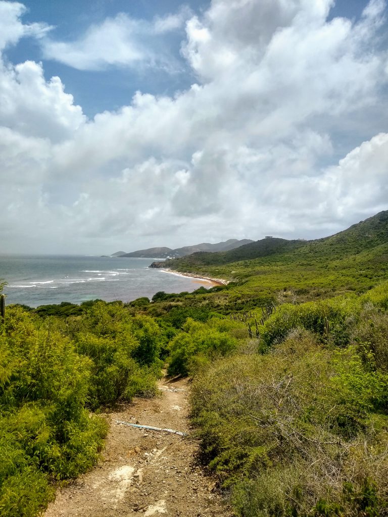
On Wednesday, I’m determined to avoid getting seasick. I take one Dramamine in the morning (apparently three is overkill and makes things worse, as I learned yesterday), followed by a larger breakfast than usual. I bring lots of food and water for the boat, and I learn that the weather is supposed to be better today. At long last, I get to experience a full day of diving on St. Croix. Finally! We celebrate my revival and a day of calmer weather, and Mike begins to lead me through training. 
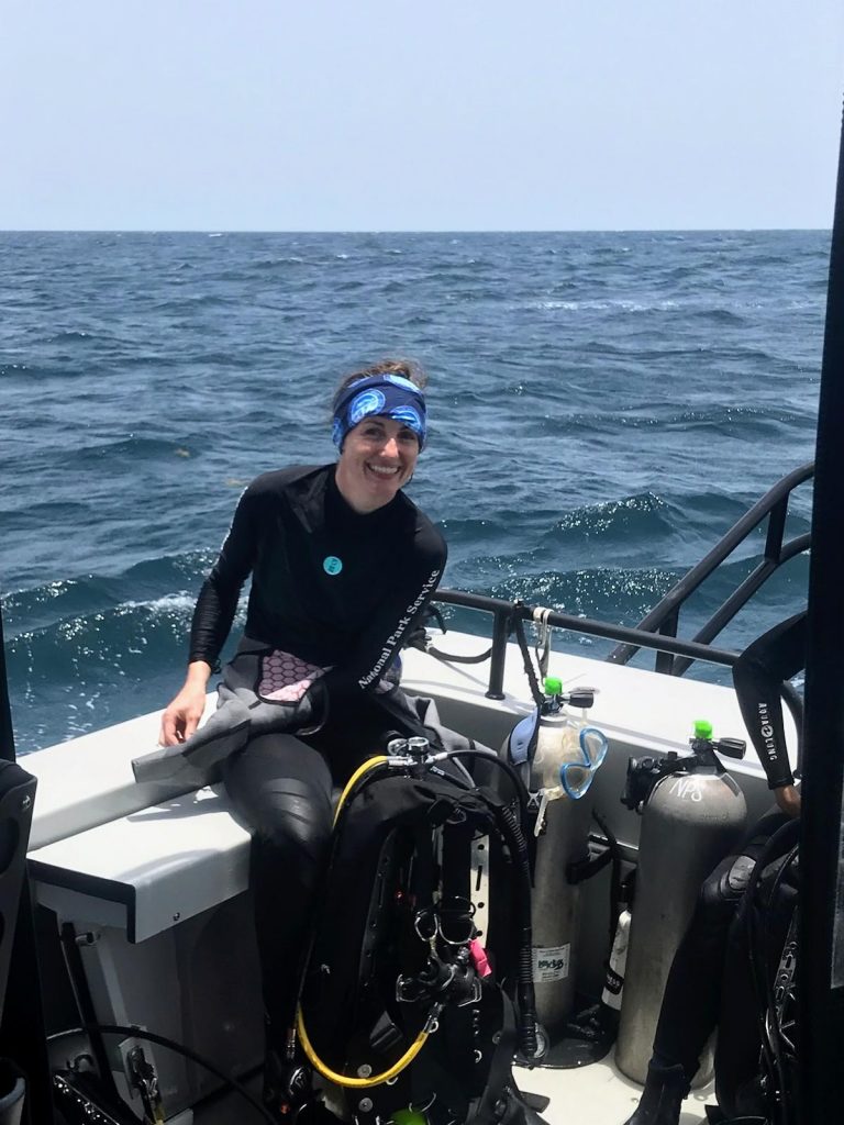
I can finally dive!

By the middle of the week, I’m up and about on the boat (and MUCH happier) thanks to the wonders of Dramamine.

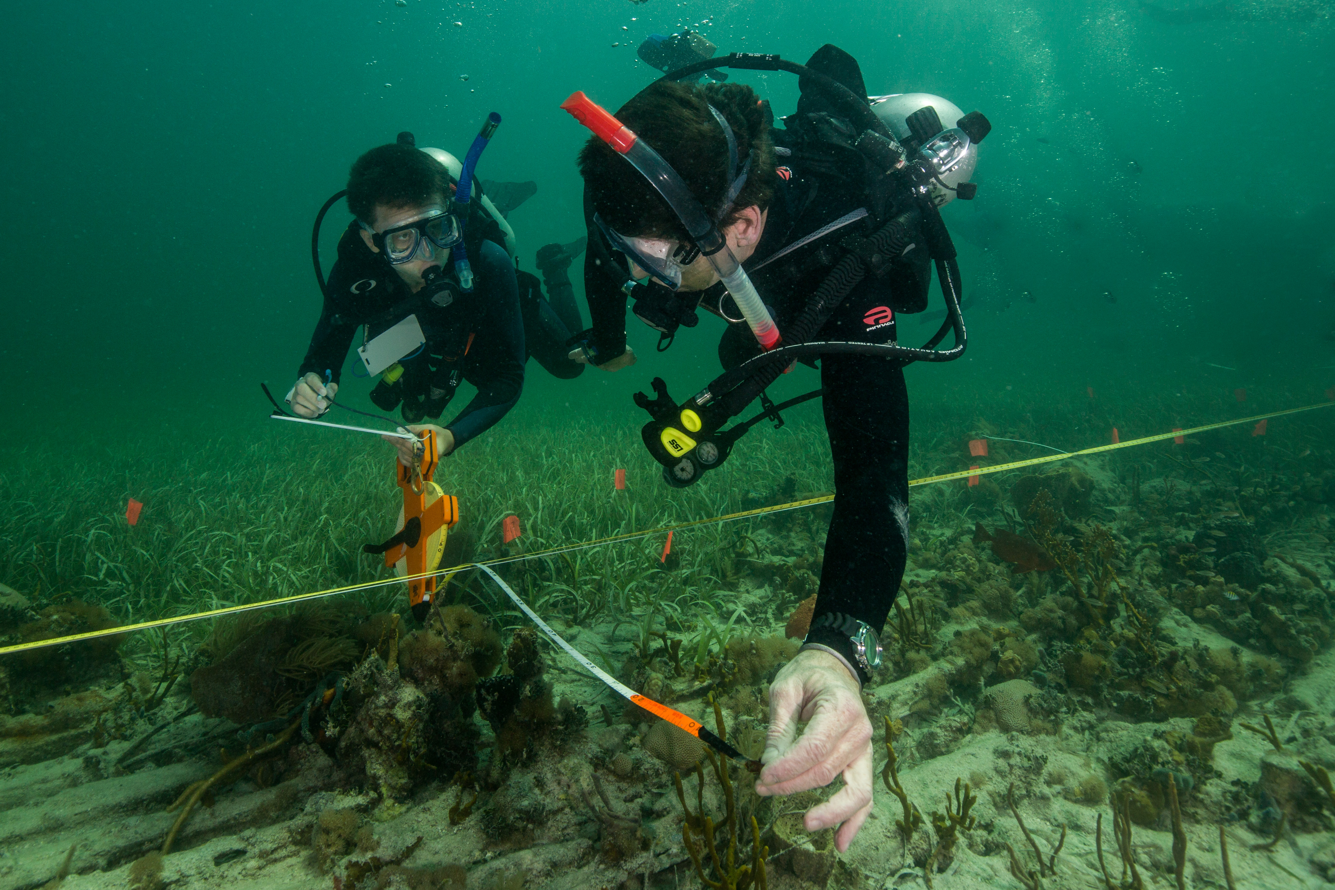
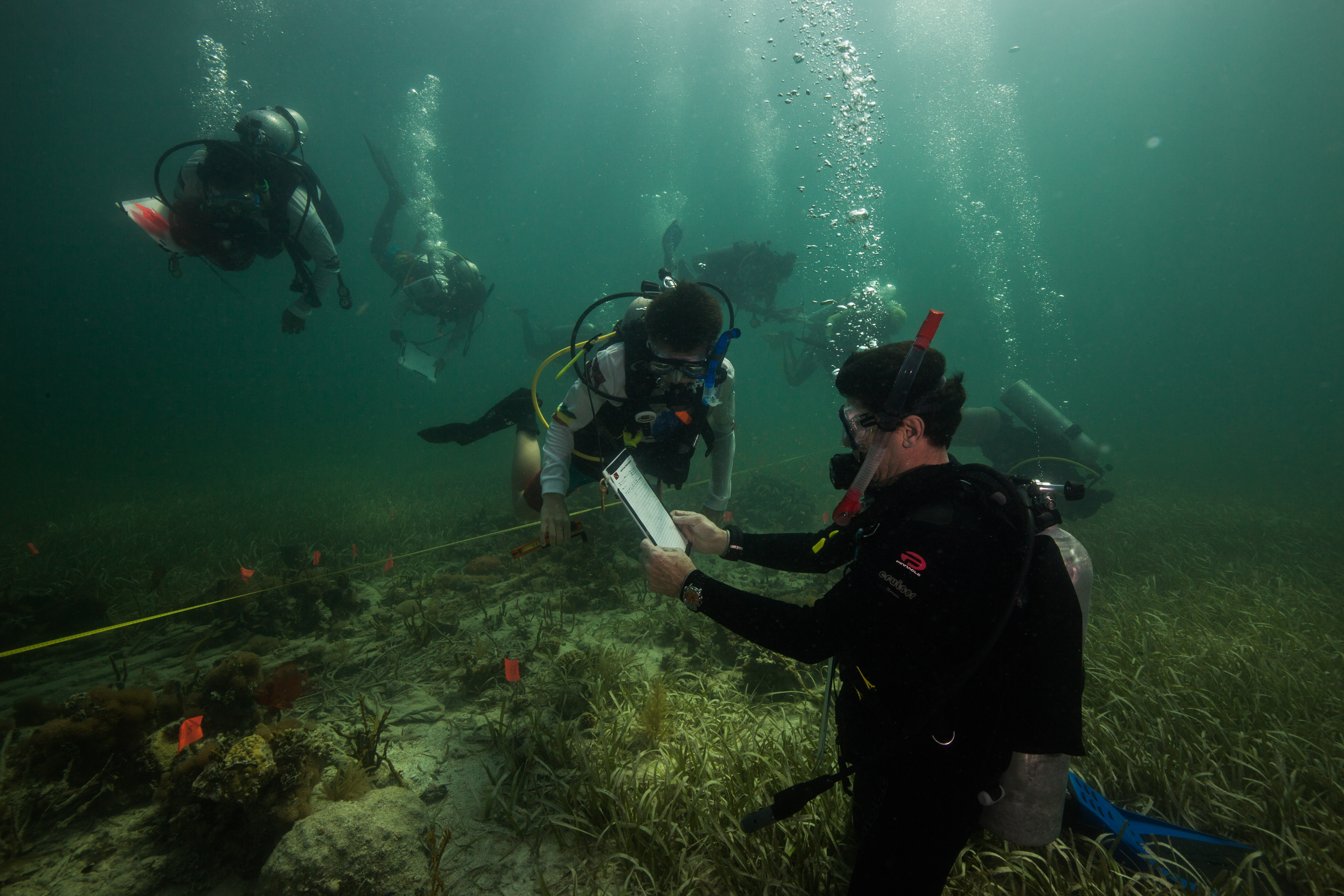
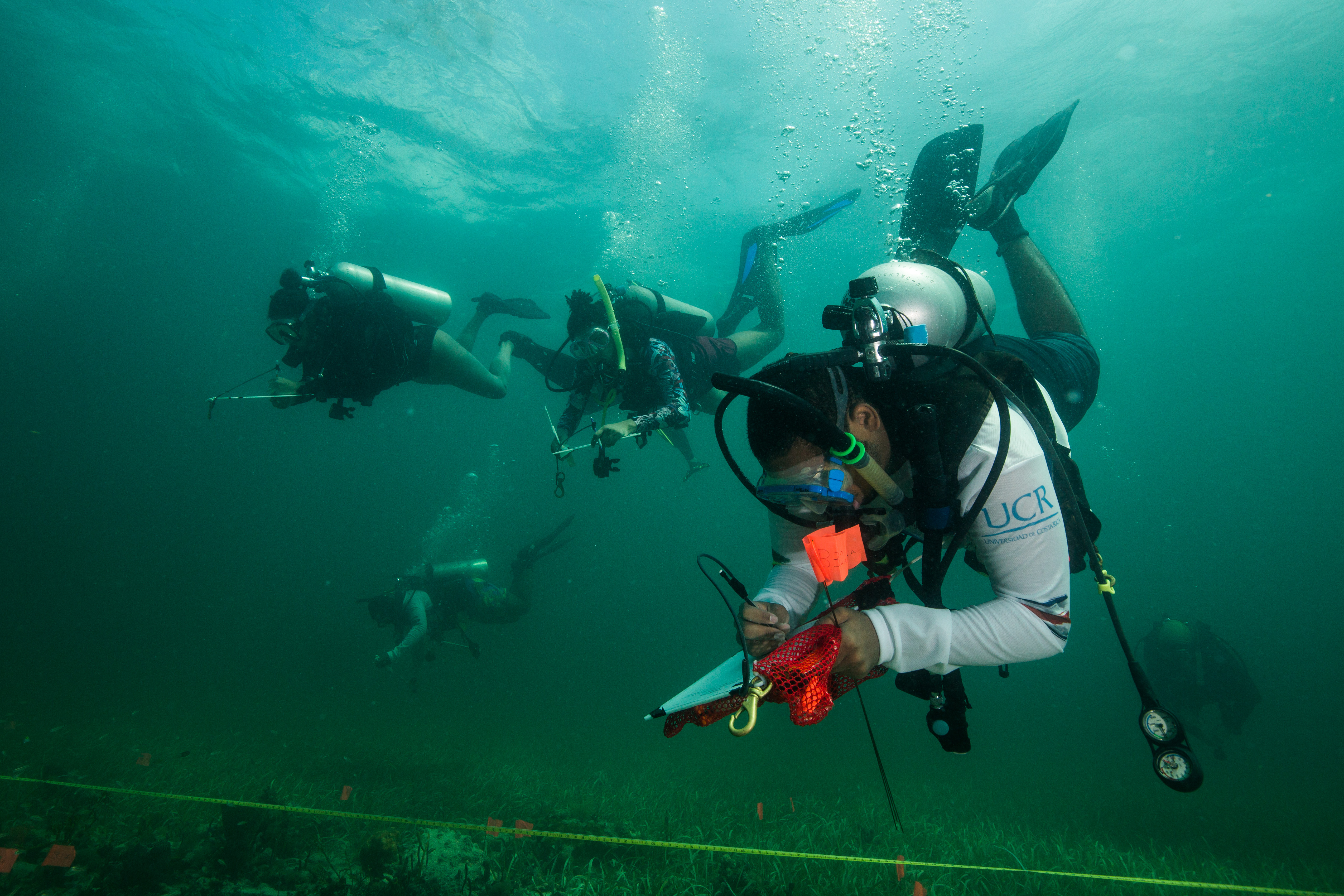
NCRMP surveys are focused on two main types of data collection: fish surveys and benthic surveys. There are two people per team, and both assessments are required at most sites. One person stays on the surface to drive the boat, and the other four divers drop down to conduct the surveys. I’ll be doing fish surveys for the whole project, which involves recording all the fish species seen at a site. We take note of fish counts and sizes first. Next, we do a quick environmental assessment, which provides details on the type of site and the condition (anything from sand patches with dominant seagrass cover to aggregate reefs with healthy corals). Meanwhile, the benthic team assesses coral cover on the seafloor by laying out a transect tape and documenting which coral, algae, or seagrass species are touching the tape. These surveys typically take about 25-35 minutes, so there’s a lot of jumping in and out of the water all day. On a good day, we can hit six or seven sites. 

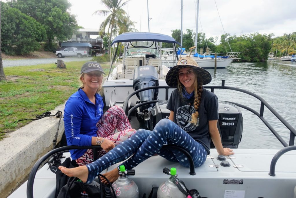
Kristen and Kaya

The crew: Kristen (left) and Kaya (right), both sporting their underwater themed leggings.

Jeff Miller

Jeff, ready to jump in.

Mike Feeley

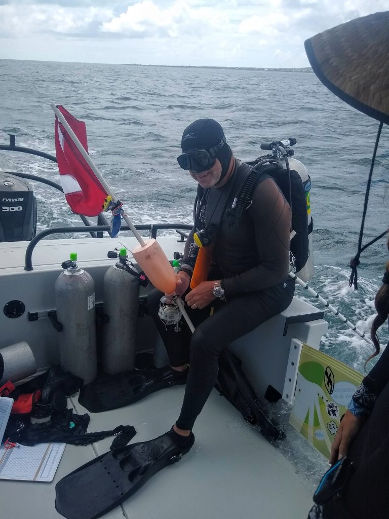
Mike awaits the go ahead from Kristen to jump in. The dive flag buoy gets tied down underwater and helps the boat driver locate the team when they finish a dive.

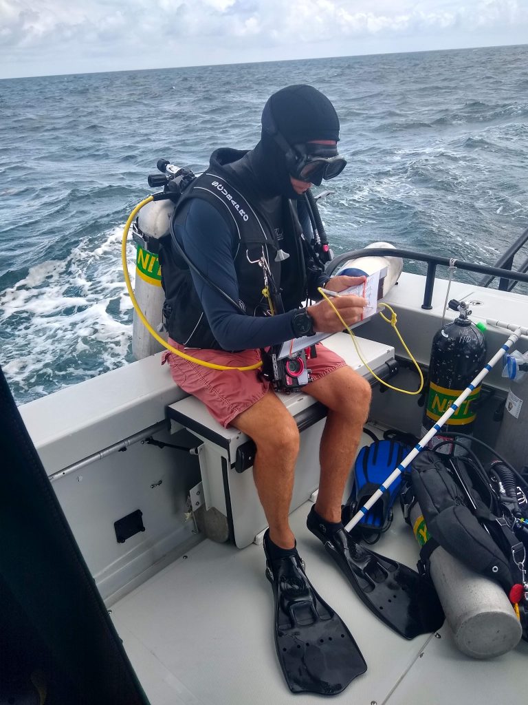
It takes me a few dives to get used to the routine. Despite having watched everyone on the boat execute dives and discuss protocols for the first two days, I’m anxious about correctly executing the dive as I buckle the straps of my fins and sit on the side of the boat, ready to back roll off when we are on site. Because we need to survey specific coordinates for each dive site, everyone has to be ready to roll into the water as soon as the boat hits its GPS waypoint and the driver says, “Go divers, go”. There’s no lingering at the surface, as the current can quickly take you away from the designated site. Instead, we do a negative descent, an entry technique that involves squeezing all the air out of our BC before we jump in so that we start sinking as soon as we hit the water. I haven’t done this sort of entry much in the past, so it’s jarring to jump overboard and begin free falling through the water within seconds. I notice my heart rate shoot up during the first few descents, but I’m thankful for the opportunity to practice the entry method. Once we fall to the seafloor my heart rate calms, and I am back in my element.

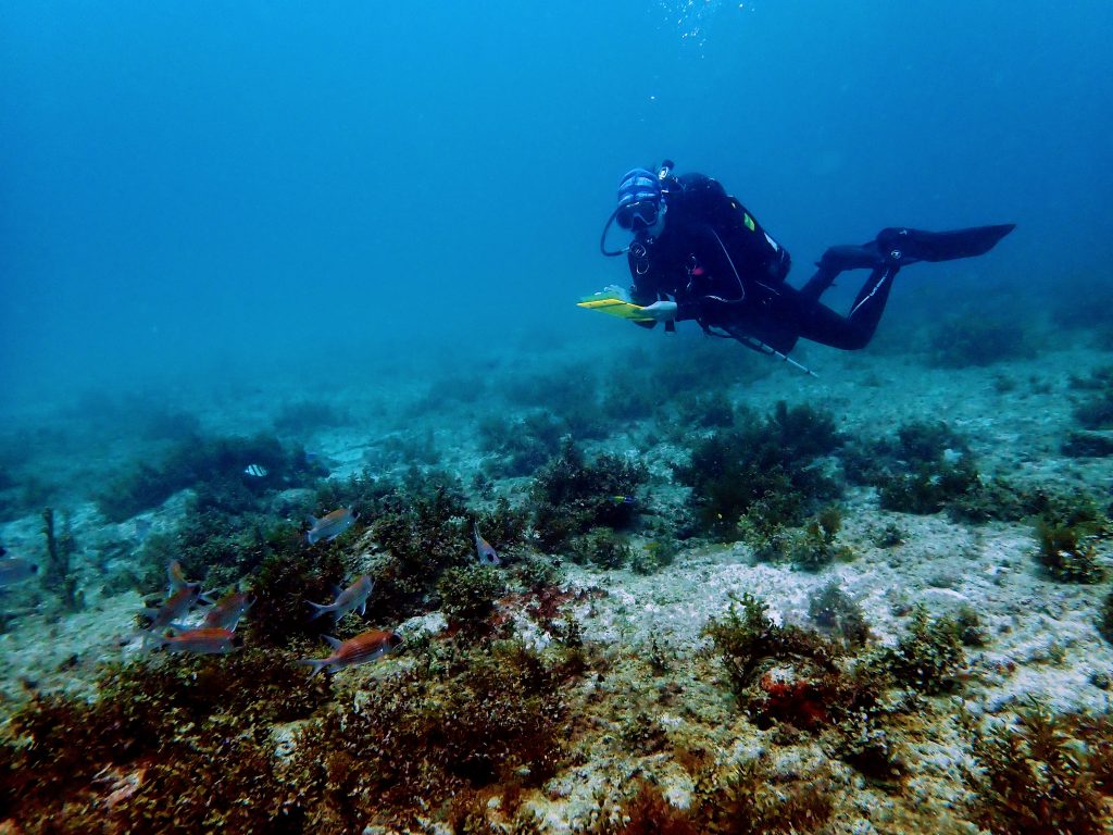
Collecting data underwater

Kristen catches me in the middle of a survey as I record fish numbers and sizes. The red and white fish in the photo are squirrelfish. (photo credit: Kristen Ewen)

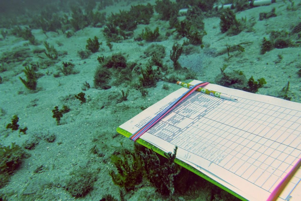
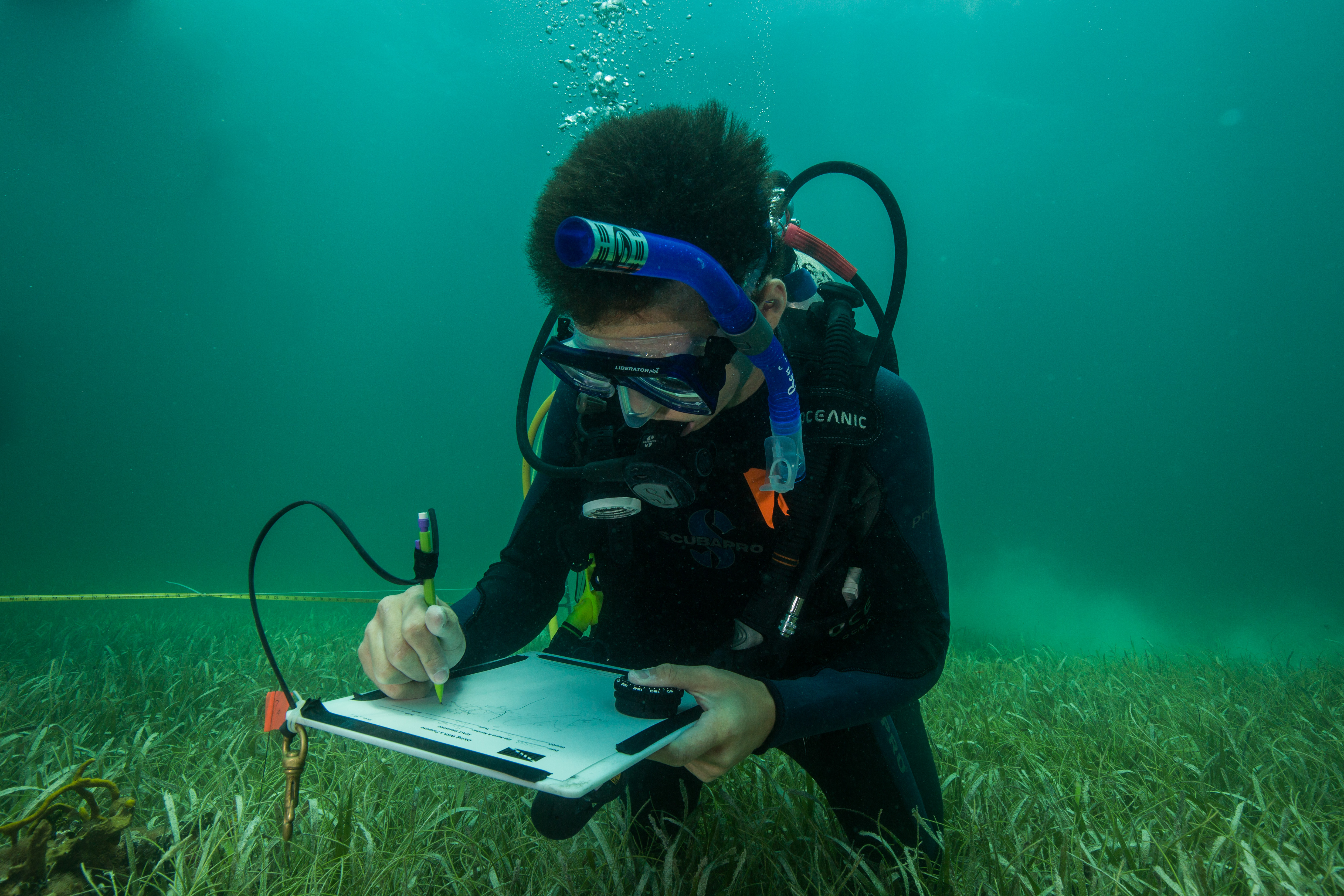
Clipboard underwater

Essential data collection equipment – clipboard, data sheet, and a pencil.

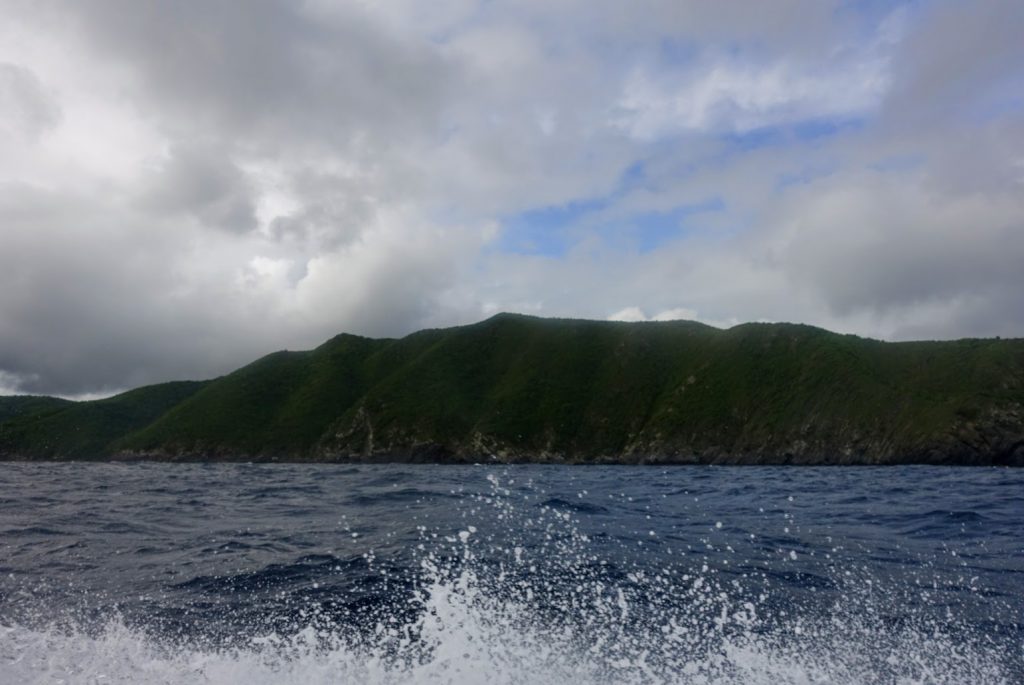
By Thursday, I’m elated that I haven’t experienced any further seasickness. Finally, I begin to feel like I’m hitting my stride. The crew is settling into a rhythm as well, and we all seem to have ways to boost morale and keep the collective energy up. Mike is the DJ of the boat (I push for 70’s rock, but today’s top hits win out) and Jeff provides clever puns and one-liners throughout the day. I bring along chips, gummy bears, or cookies to share every day. “Ah, the health food aisle,” Mike jokes when he finds me in the junk food section of the grocery store as we make our daily stop on the way to the marina. We have a long day, so snacks are crucial. Our sites are on the other side of the island, so we have to nearly circumnavigate the whole of the island. The run to the first site takes an hour and a half, but it’s a great chance to see the less populated and more wild areas. When I see the unpopulated Jurassic Park-esque green cliffs on the south side of the island, I wonder what it must’ve been like to discover the island in its original state, untouched by people. 

Ocean view from the boat

One of the UVI boats cruises back to shore at the end of a workday.

The untouched side of St. Croix

Untouched green cliffs on the south side of the island.

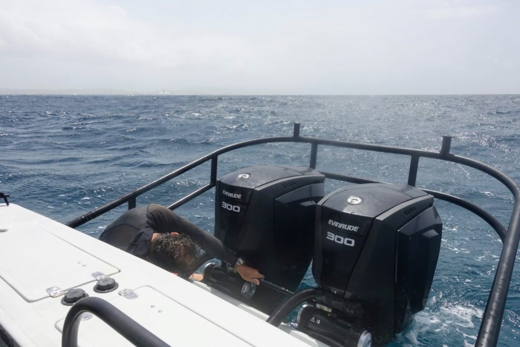
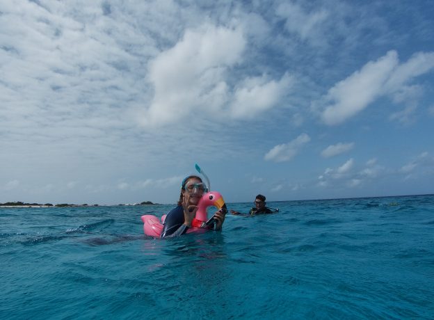
The day is going smoothly until Jeff notices that the dual engines aren’t moving in unison when he steers. I scan over the engines and realize that, to our collective panic, the steering system has broken. I’m able to grab the bolts that broke off before the ocean sweeps them away, and Jeff and Mike manage to fit one bolt back into place. It’s enough of a temporary fix for us to get back to the marina, but we have to cut our dive day short. 
Mike fixing boat

Mike works on a temporary fix for the boat’s steering system.

On Friday, Jeff has made dozens of calls to try and get Eddie Boy fixed, but a mechanic can’t look at it until mid-afternoon. Luckily, the NPS has another boat in the marina that we can use for the day. Kestrel is a small boat, with a firm “three points of contact” rule when it’s moving. It also has less cover, so most of us don our wetsuits pretty early in the day, as being doused with saltwater on the way to the first dive site is a given. It’s a beautiful day for diving until mid-afternoon, when a storm rolls in and gives us a heck of a return ride. I’m amazed that one pill in the morning can make eight-foot swells and churning waves somewhat fun—the joys of modern medicine! By the end of the day, however, and after a week full of unexpected ups and downs, the crew is ready for the weekend. Personally, I’m excited to catch up on writing, go trail running on the east end of the island, and to spend some time with the rest of the team I’ve yet to hang out with.

Landscape of St. Croix

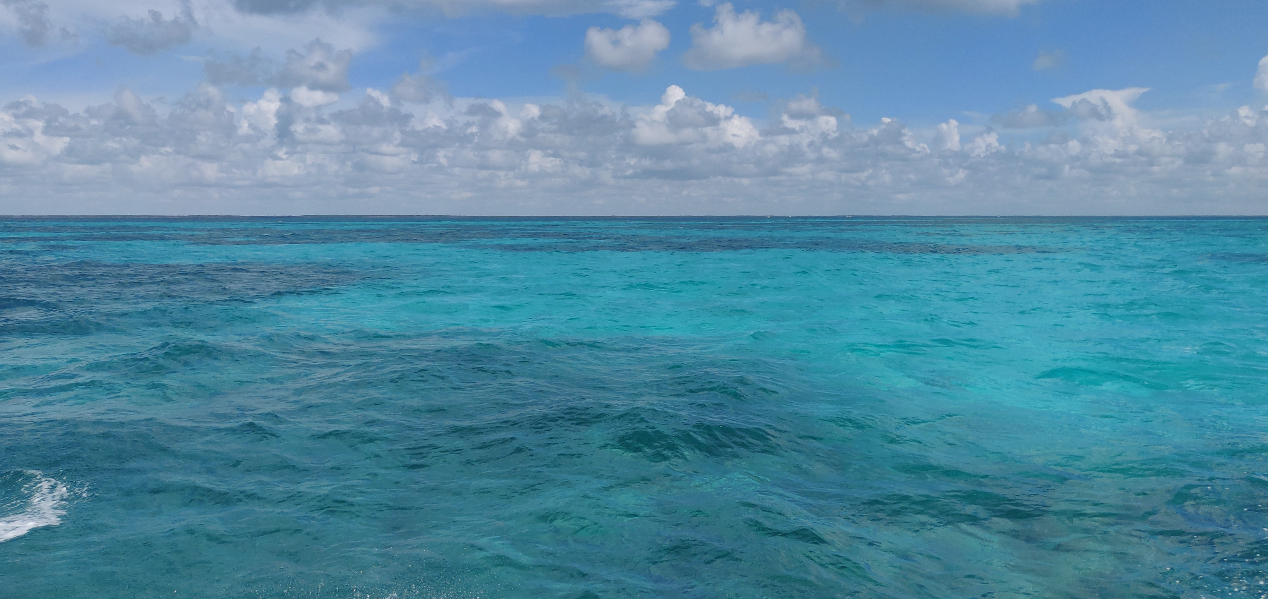
I love the bright greens and blues of the island and its surrounding waters.

Share

Bon Bini na Boneiru!

As the 2021 American Academy of Underwater Sciences (AAUS) Mitchell Scientific Diving Intern for the Our World Underwater Scholarship Society (OWUSS), I will be assisting Ph.D. candidate Josh Manning with his dissertation research, along with other members of the McCoy Lab at Florida State University, Ph.D. candidate Ethan Cissell and undergraduate student Lena Kury! Josh’s research focuses on how parrotfish territoriality affects patterns of grazing intensity on the coral reefs of Bonaire. Parrotfishes are important grazers that use their beak-like teeth to scrape at the substrate, which helps to keep algae in check and creates bare space for juvenile corals to settle and grow. After several field seasons on the reefs of Bonaire, Josh noticed that males of some species, particularly the stoplight parrotfish Sparisoma viride, swim within well-defined territories and will chase off other males that enter these areas. This summer, we are recording the behaviors of several parrotfish species to better understand how these territories are defended and how they influence other aspects of parrotfish behavior.

After countless Zoom meetings working out travel logistics during a pandemic, three flights, multiple Covid-19 tests, and one last quarantine on Bonaire, our team was finally cleared to start conducting research! During our first few days of diving, we explored a few dive sites on the Northern leeward coast of the island, familiarized ourselves with everyone’s equipment, and ensured that we were weighted correctly so that we could practice proper buoyancy. As we descended onto the reef at Karpata, a historically well-studied site, I was instantly overwhelmed by the diverse species of corals thriving on the reef!  With reef-building coral species like Orbicella annularis providing small hiding spaces for creatures of all sizes, it was not surprising to see a diverse assemblage of fish species. We were even lucky enough to find a green sea turtle, resting on top of soft corals!

A graysby rests on Orbicella annularis, a foundational species of coral found on the reefs of Bonaire.

The view from the entry point at a popular dive site, Karpata.

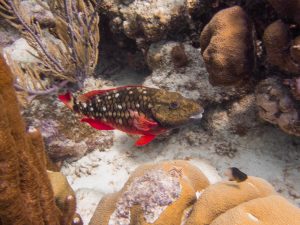
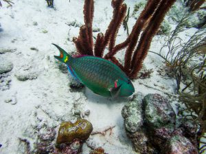
After everyone felt comfortable in the water, it was time to get to work! A large portion of Josh’s research involves observing parrotfish behaviors, so we spent the next day practicing our fish identification skills! Parrotfishes are protogynous hermaphrodites that transition from an initial female phase to a terminal male phase based on social cues. These phases can have incredibly distinct colorations, so it is important to be able to differentiate when fishes are the opposite sex, or an entirely different species! While we will mostly be following terminal phase males this summer, it is important that we can also identify initial phase fish within each territory. This may help us to understand if males defend their territories from neighboring fishes to protect their preferred grazing spots, their mating opportunities, or a combination of the two!

Stoplight parrotfish coloration changes drastically from the initial phase female (top photo) to the terminal phase male (bottom photo).

On our first day of data collection, we dove at one of Josh’s predetermined study sites, Invisibles, to record the behaviors of the stoplight parrotfish S. viride. During these dives, Josh identified a fish to observe for 30 minutes, while Ethan and I counted the number of initial phase fishes present within its territory. Josh would then signal to Lena, who was snorkeling at the surface with a handheld GPS receiver, to begin tracking the movements of the fish. At first, it was really difficult to determine how many initial phase fish were in each territory – if only they would just stay still! This became easier with time, and soon I was able to enjoy watching the fish from afar as they were grazing the reef substrate, visiting cleaning stations, and defending their territories from intruders.

After a few days at Invisibles, we moved on to tracking S. viride at our second dive site, Aquarius. This time, I was in charge of GPS tracking as the top-side snorkeler. Viewing these fish from above made it much easier to discern the boundaries of each territory, and when intruding fish were attempting to sneak into the territories. While it is tricky to keep up with a fish that is chasing another male out of its territory, especially when swimming against the winds on top of a flotation device, it has become my favorite part of tracking the stoplight parrotfish! These chases help us determine the true boundaries of each fish’s territory, so that we can better understand the impacts of their grazing!

While Josh observes parrotfish behavior underwater, I snorkel with a GPS receiver to record fish movement and identify territory boundaries.
Photo credit: Lena Kury

Share

The Buoyancy of Purpose

Hi there, and welcome! I’m Sarah Von Hoene, your 2021 National Park Service (NPS) Intern for the Our-World Underwater Scholarship Society. I’ve been following a childhood dream of becoming a marine ecologist since I was a kid, playing on the sandy beaches of Virginia. A few years ago, however, I began to tweak that dream a bit. I learned about a small unit of the NPS called the Submerged Resources Center (SRC) — a group of highly trained scuba divers, archeologists, and underwater photographers who use scientific and operational diving to document, interpret, and preserve underwater natural resources within the national parks. Upon the revelation of the existence of the SRC, I suddenly had a new focus: to not only become a marine ecologist, but to dive with the NPS. Thanks to the incredible generosity of the SRC and OWUSS, that dream is finally coming true. As I spend the upcoming months traveling and working throughout the national parks, it’s my ultimate goal to help fulfill the SRC’s mission of promoting understanding, appreciation, and preservation of the national parks’ underwater resources, so I hope you’ll stay tuned as my adventure unfolds. 

I originally applied for this internship once before, in 2016. I was living on the tiny island of Koh Tao, Thailand, where I had taken all of my scuba certification courses and was working as a divemaster for a local scuba shop. I completed my first two years of undergraduate classes online while abroad, then moved back to the states to pursue a degree in Ecology and Evolutionary Biology from the University of Colorado. Luckily enough, I found a professor at CU who taught a coral reef ecology course that I jumped at the chance to take. Before I knew it, I was completing a thesis and doing fieldwork in Cozumel, Mexico. After graduating, I decided to try again and submit another application for the NPS/OWUSS internship.

I submitted my application in January 2020 and tried to put it out of my mind for the subsequent months (patience is not a strong suit of mine, especially in these types of potentially-life-changing scenarios). A typical evening in early March, however, turned into an ecstatic celebration after I checked my emails and noticed one message with “Congratulations!” in the header. I couldn’t believe it when I read the email. I had been selected for the internship! I shared the news with family and friends over the next few days and tried to wrap my mind around the fact that I was about to start the adventure of my dreams. 

The NPS arrowhead logo embroidered on a drysuit. There’s a pretty amazing sense of pride that comes along with wearing NPS dive gear!

Cue ominous music…because little did I know that a global pandemic was about to dramatically interfere with my plans. On the same day that I received the congratulatory email, the World Health Organization officially dubbed the coronavirus outbreak a pandemic. It quickly became apparent that the internship would not be possible in 2020. Thankfully, OWUSS offered me a deferral, which I happily accepted. I wasn’t quite sure what I would do for the next year, but I knew with certainty that the opportunity was worth the wait.  

Over the course of the next year, both OWUSS and the SRC were amazing at welcoming and supporting me, despite not being able to meet in person (or go anywhere). The scholarship society organized virtual meet-ups and lectures by former interns and scholars, and Dave Conlin, the Chief of the SRC, helped organize a project on marine soundscapes that I worked on remotely. It only took a few phone conversations and emails with the OWUSS and SRC teams to realize that I was entering into a close-knit, highly-esteemed group of scientists, divers, and explorers. 

By the time May 2021 came around, Covid had settled down enough for us to plan for an intense summer of travel. Before I knew it, I was driving to the SRC office in Lakewood, CO, meeting the team, and gearing up for the adventure of a lifetime. 

I aspire to collect as many scuba diving-related stickers as the SRC has on display. This crew has clearly been around the block.

It’s hard to explain all the feelings I had during my first meeting and training week with the SRC. I’ve struggled with imposter syndrome quite a bit in the past, and I was expecting it to come out in full force at the beginning of my internship. Having worked in the industry, I have a few hundred dives under my belt, but I found the diving undertaken by the SRC team to be truly next level. Like, they eat snacks underwater because they do six-hour dives kind of next-level (apparently Clif bars are great because they don’t crumble underwater. Who knew?). To my immense surprise and relief, I felt very at ease as soon as I met the team. The SRC staff is small (only nine people), but every single person greeted me with friendliness, support, and genuine excitement. I felt like they believed in me and my ability to serve as their ambassador for the coming months, and in that, to consider myself a true member of their team. For a week, I drove home from their office, day after day, feeling the buoyancy of purpose, like I was finally doing what I was meant to be doing. Those drives, with the windows down, music up, and my mind buzzing with excitement and anticipation, will be a fond memory of mine for years to come. 

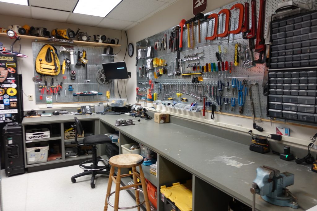
The SRC dive gear locker is practically famous amongst interns, which is fair considering that Jim Nimz, the Diving Operations Specialist, keeps the room in tip-top shape and full of any dive gear you could think of.

During that week, the SRC covered all the logistical bases, and more. I underwent a thorough dive physical to make sure I was fit to dive, I took a CPR/first aid/oxygen-provider refresher course and exam, and I went through a long list of swim and dives skills that are part of the NPS Blue Card Exam. This exam included a written test, too, but for me, it was a breeze compared to some of the physical skills. Well, one skill in particular. The biggest beast of all was a 25-yard underwater swim, done on only one breath and without any fins. I honestly can’t remember how many times I attempted it before finally making it the entire way. At least six tries! Jim, the SRC’s Dive Operations Specialist, laughed when he saw my glaring, frustrated face after another unsuccessful attempt. “You can read that face from across the pool,” he chuckled as I leaned on the edge of the pool, annoyed with myself. Eventually, through a bit of grit and determination, I was able to complete the test. Thankfully, the other skills were manageable, although there was an added challenge of doing them while getting used to the new dive gear the SRC provided me. 

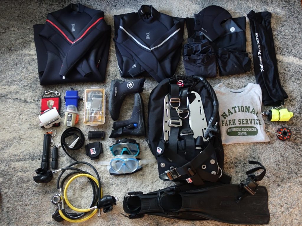
The SRC provided me with wetsuits, rashguards, a save-a-dive kit, and all other necessary scuba gear for my upcoming adventures.

By the end of the week, I was Blue Card certified, nitrox certified, stocked up on all the dive gear I could possibly need, and ready for nearly four months of travel. According to my current itinerary, I’ll be traveling until October, and working on projects in at least six different national parks. As I mentally prepare for it all to begin, I’m feeling focused, excited, and ready to do my best work. More than anything, however, I’m feeling thankful. Thank you to OWUSS and the SRC for putting your trust in me and supporting me on this epic journey. And of course, a huge thank you to my partner, Jerrod, and my friends and family for helping me chase my dreams and pursue my passions. There will be many stories to tell and experiences to share, so stay tuned for more insights into my experience. For now, I’m off to St. Croix, in the US Virgin Islands for the next two weeks! Wish me luck!

My new favorite hat, and one last run at home before a summer of travel! 

Share

Coming to an End


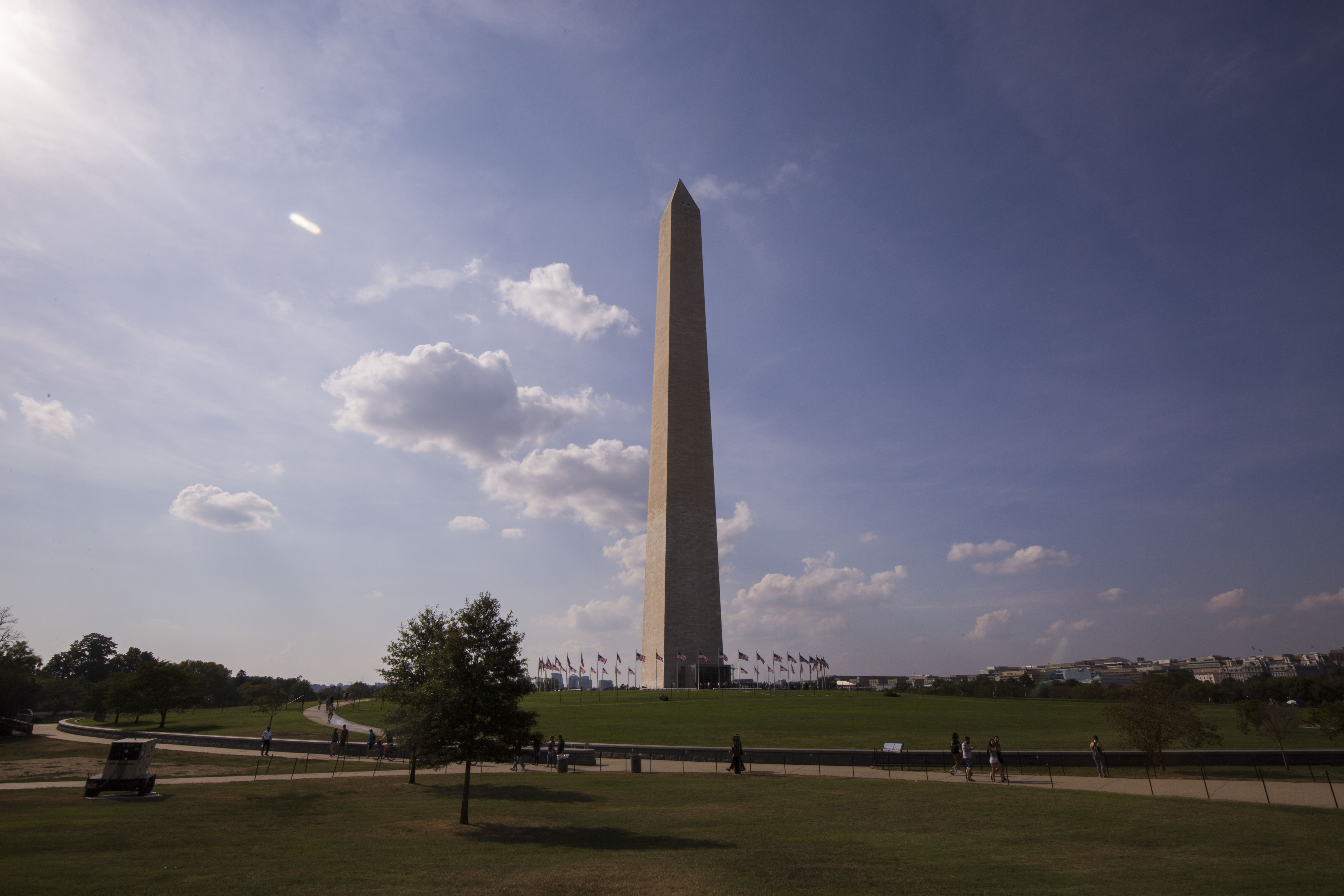
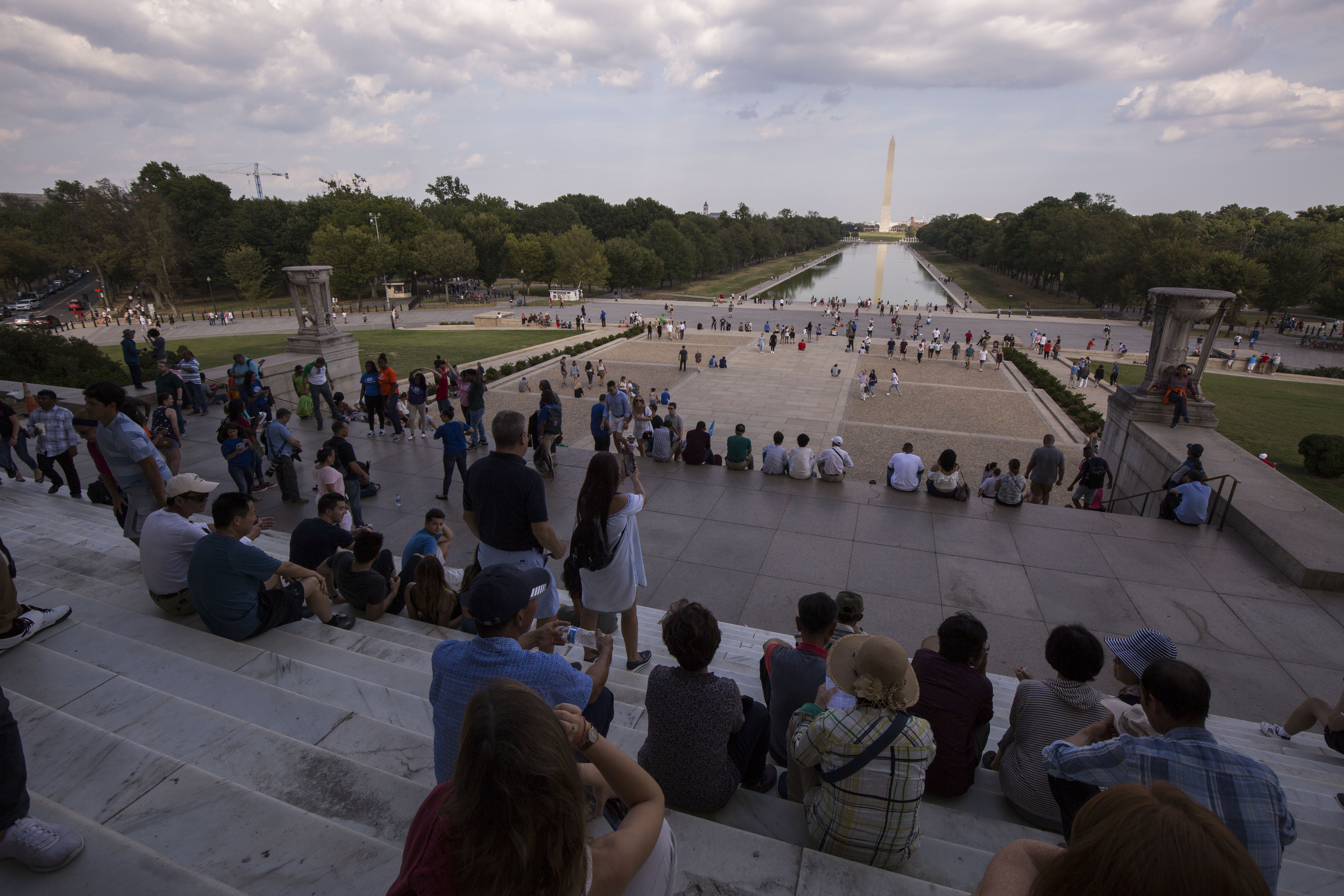
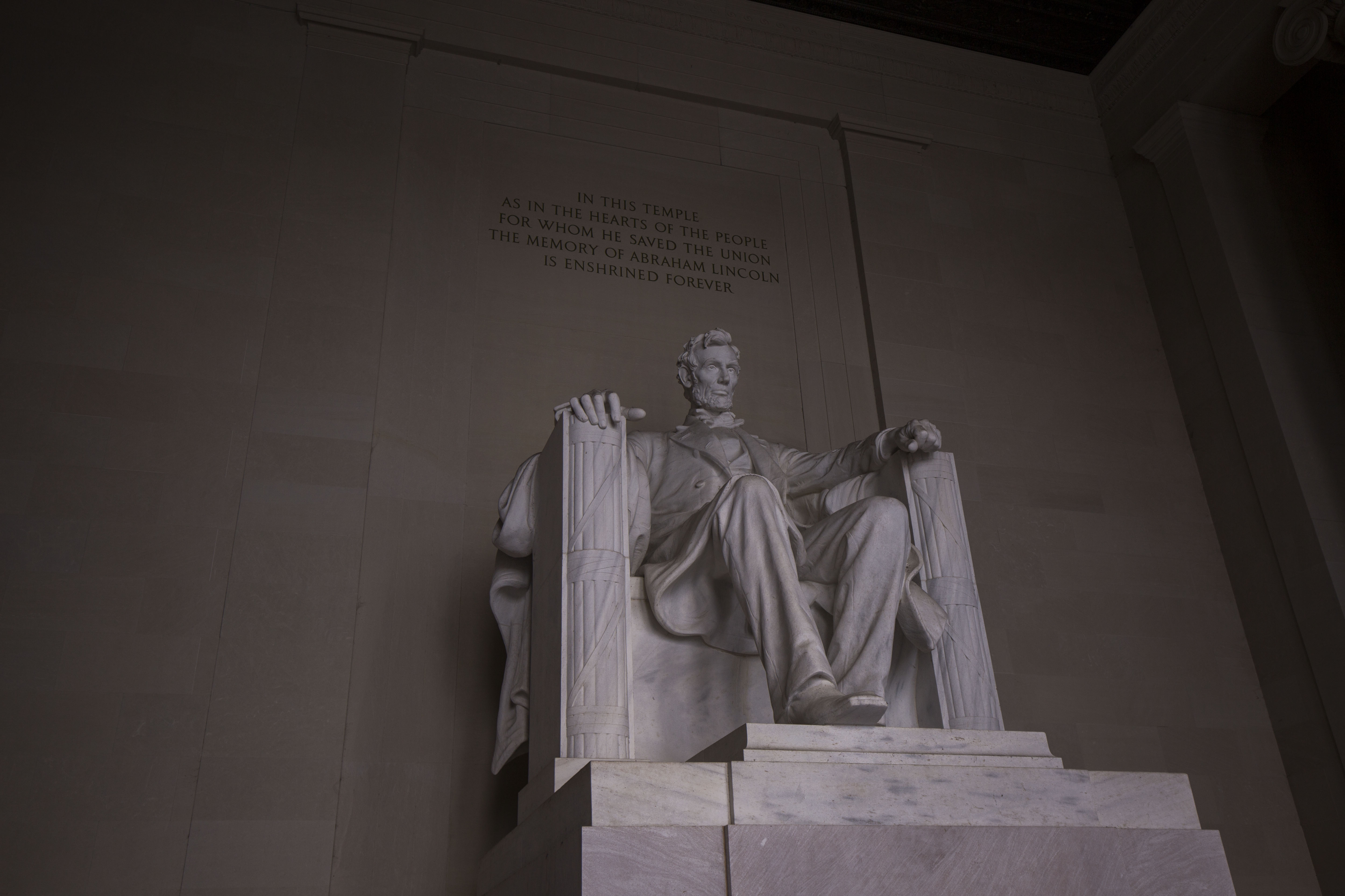
After departing the tropical islands of Hawaii, I knew I had one last leg of my internship before it was all over – a visit to the Department of the Interior (DOI) in Washington D.C. to tell a bit of my story to the folks working in the Washington offices of the NPS. Now I had never before been to D.C., so along with some high-level DOI/NPS presentations I had a bit of sightseeing planned.

I was scheduled to do two lunchtime presentations in the Department of the Interior, one general for anyone who wanted a little midday entertainment and another a little more exclusive one for some of the assistant directors. Before arriving, I had to undertake the difficult task of consolidating my 4.5 month internship into a 45 minute presentation. This proved to be a bit of a challenge for me, especially when I wanted to include all my favorite photos, but something I managed to complete eventually.  After a couple days of sightseeing, where I visited the monuments and museums of the National Mall, I met up with my contact on the inside of the Department of the Interior, Cliff McCreedy.

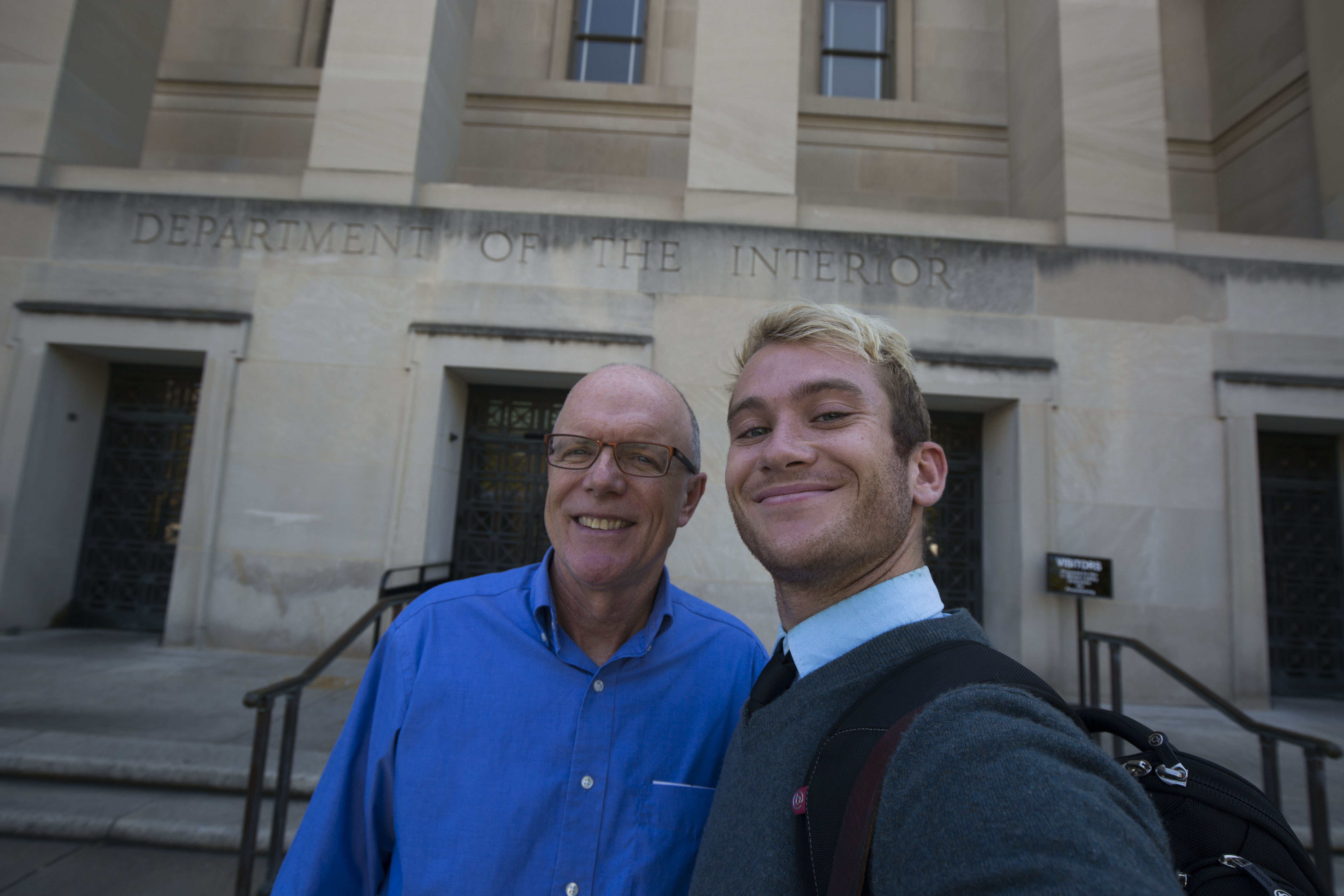
Myself and Cliff McCreedy outside the Department of the Interior

Cliff, who works for the NPS as a Science and Stewardship Coordinator, has been the Washington contact for the OWUSS NPS interns for a while now. He gave my presentation a quick overlook to make sure it was up to par and then gave me a brief tour of a bit of the DOI offices before the presentations. Not necessarily a superb public speaker myself, I was a bit nervous to be presenting to all of these Washington employees, especially some of the Associate Directors who I was told would be coming. However, these audiences were a delight to present to. Everyone seemed interested in the content and had lots of thoughtful questions to ask. I was happy to be able to show a short video of some of my dive highlights to the audience as well, which was also well received. You can see that video here if you’re interested.

I’m happy to have had this opportunity to present a summary of my internship to some of the NPS employees who don’t get to go out into the field much – it’s a nice way to share some of the science and programs that the Washington branch of the NPS works to support and manage. Summarizing my experiences over the past few months also helped me reflect on it myself and take it all in. It’s been a wild journey of a summer. Over the course of my internship I did 201 dives, adding up to 138.36 cumulative hours underwater (almost 6 days!), in waters around the country ranging from 36-90 degrees Fahrenheit. Across these dives I got to experience a diverse array of the science, maintenance, and outreach that occurs in the waters managed by the NPS – experiencing stuff that was wildly new to me and stuff that was comfortably familiar. I travelled more than I ever had in year, flying up to 15 separate flight lets and staying in 24 different lodgings. This was a learning experience in itself, and I got more than my share of newly discovered travel tips and learned a lot of what not to do. Alongside all this, I think the most impactful part of my summer for me was my growth as a photographer. That was a big personal goal throughout my internship, and thanks to the support of the Submerged Resources Center, Our World Underwater Scholarship Society, and the many Parks and affiliated groups I worked with, I’m proud to say I’ve learned and grown a huge amount. Over my internship, I created over 665 GB of photos and videos, including some of my favorite images to date. This is not something I take for granted, and I am immensely grateful for the opportunity provided to me. After this summer and the experiences I undertook, I finally feel as though I can pursue underwater photography as a full time career, something that I never really imagined would be possible and that I am very excited to follow through with. This experience undoubtedly changed my life for the better, so thank you so much to all who helped make it possible. I’d like to extend a final thank you to you, the reader, who may have been following along with the blogs from the beginning or may have just joined in at the end. I appreciate the support throughout this journey and hope you tune in the upcoming years to follow the adventures of my predecessors. Now, I look forward to the future, which is much brighter and more laden with opportunities than I could have imagined.

Share

Remembering the Fallen – Diving the Wrecks of the Pearl Harbor Memorial

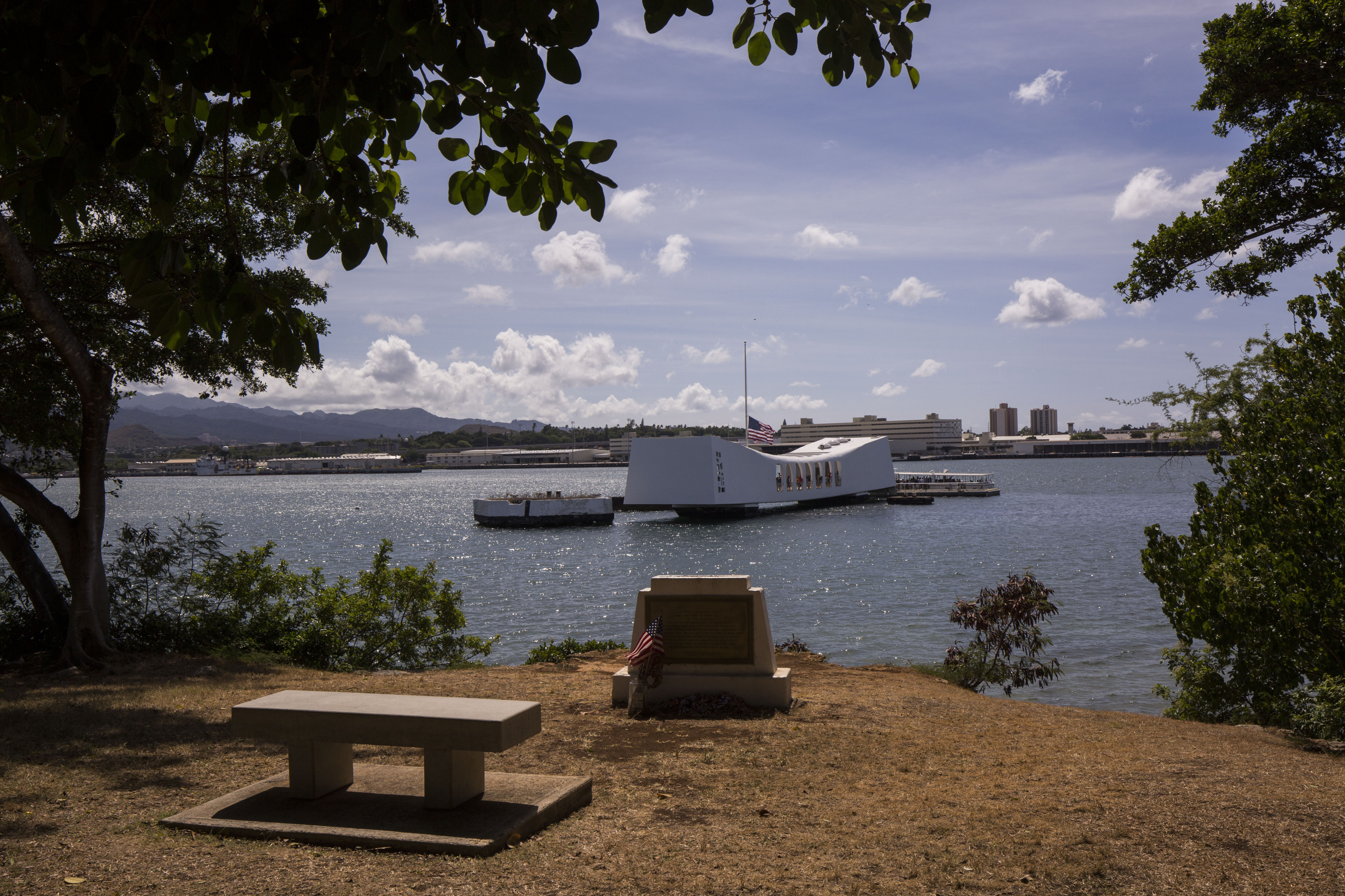
The USS Arizona Memorial from Ford Island

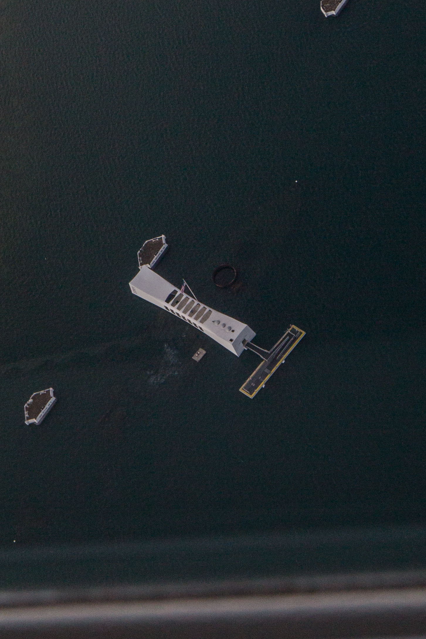
December 7th, 1941, marks the most devastating attack on American soil in history. Early that fateful Sunday morning a surprise attack by Japanese fighter planes struck the Pearl Harbor Naval Base near Honolulu, Hawaii, and inflicted catastrophic damage. In under two hours, these fighters managed to destroy or damage almost 20 American naval vessels, over 300 airplanes, destroy airfields and support structures, killed over 2400 citizens and wounded around 1000 more. Out of all the casualties, almost half of them were from the USS Arizona, a battleship that was struck by an 1800-pound bomb. Detonating in its powder magazine and bringing down the ship with over 1000 crewmen inside, this vessel is one of the only two who still remain in their final resting places. Nearly 78 years later, as my small propeller passenger plane circled over the harbor waiting for clearance to land, I looked down on the hull of the Arizona, silhouette barely visible under the brown harbor water, and wondered what I’d see down there. I had heard stories from others who’d dove the wreck in the past, but still couldn’t really prepare myself for what was to come.

The USS Arizona Memorial from the sky

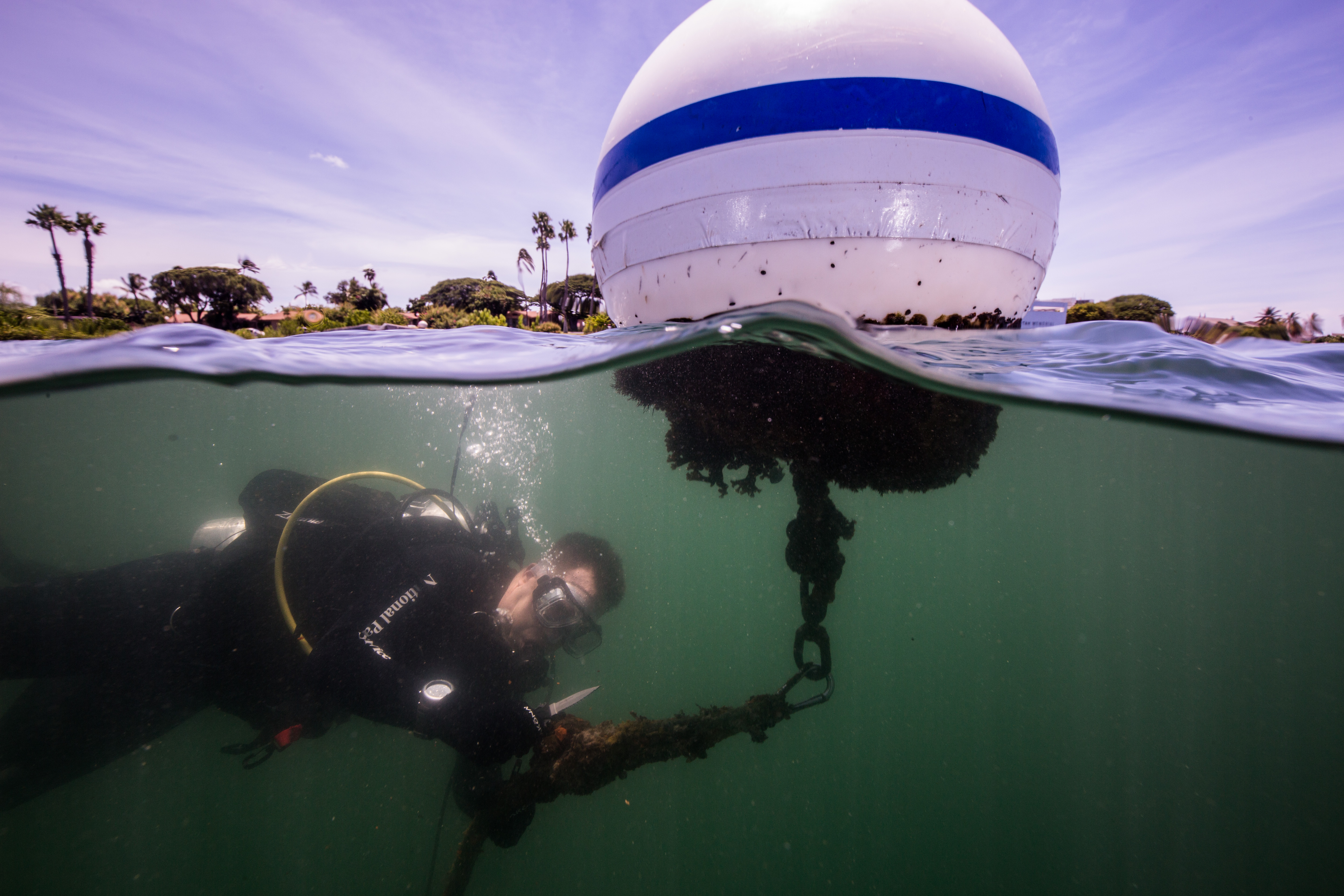
I was only visiting Pearl Harbor National Memorial for a few days, the first to do some diving and the next two for some other projects. On the morning of September 11th, Dan Brown,  Park Diving Officer, picked me up from my AirBnb and took me on base. Pearl Harbor is a massive military base, which was pretty flabbergasting to me. I hadn’t really realized they came this big, and was amazed to see all of the housing, speciality stores, and amenities that were hidden inside. Dan took me to the Parks dive locker, where I met Scott Pawlowski, Curator and diver for the Park. After some quick introductions, we gathered all of our gear and drove out to Ford Island to get to work installing new buoys on the USS Utah. The Utah is the second of the two vessels that remains sunken in the harbor, after recovery efforts on it failed. This ship, a retired battleship that had been converted to a target ship, was struck by torpedoes on December 7th and capsized, taking around 58 crewmembers with it. Recently, one of its marker buoys had drifted off, creating a submerged hazard that nearby boaters could collide with. I was to accompany Dan and Scott as they replaced the existing buoy and added a new one, while photographically documenting the swaps so they could use the photos to train new employees.

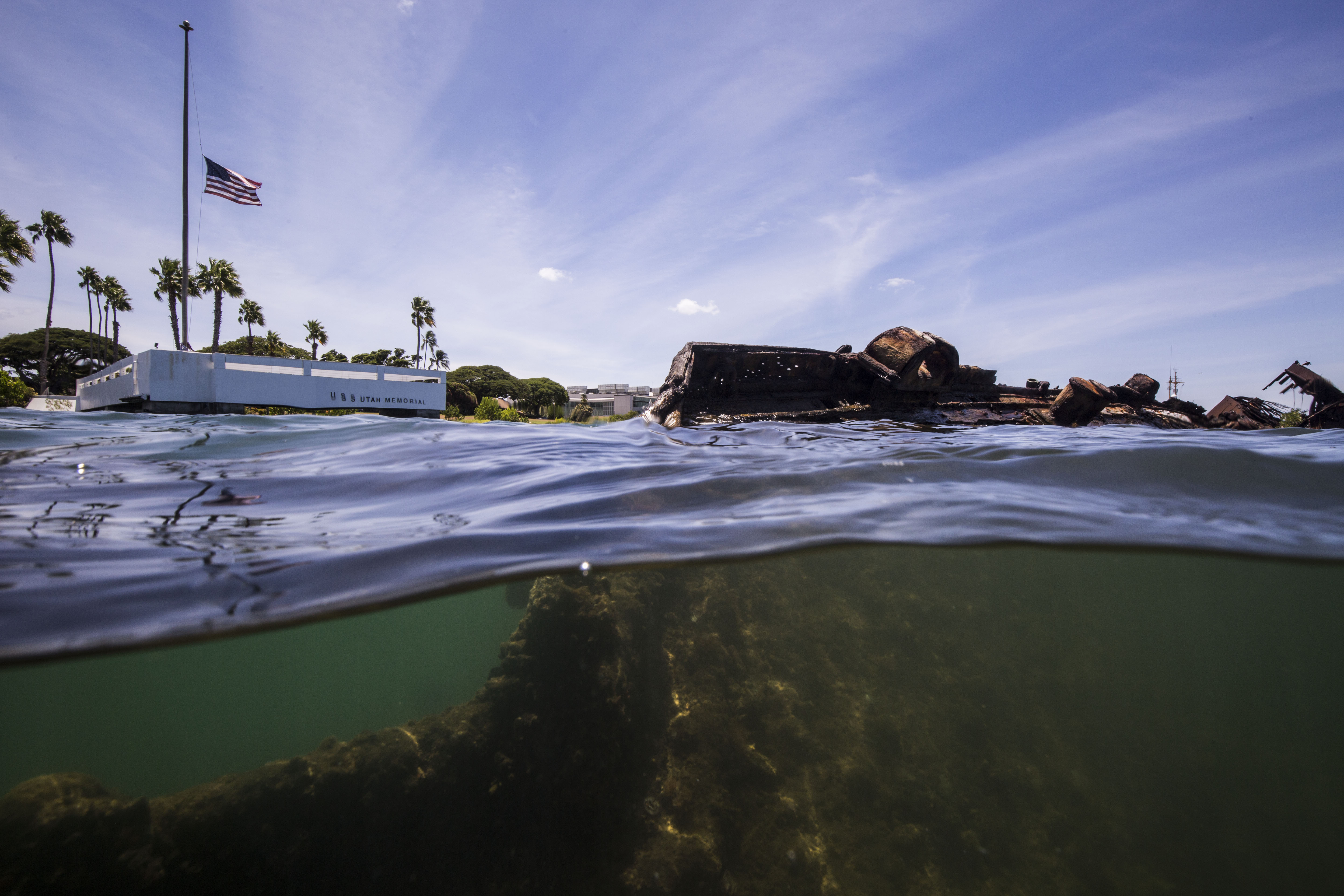
The USS Utah, with the memorial in the background

We arrived at the Utah right after a 9/11 memorial was wrapping up. As the final staff members picked up the last chairs and tables, we dragged our dive gear across the grass and started gearing up. Now, the significance of diving in Pearl Harbor on 9/11 wasn’t lost on me – visiting the site of the most deadly attack on US soil 18 years after the second most deadly attack certainly made things a little more intense. I also had no real idea what to expect. I’ve dove on a couple wrecks before, including ones with a loss of life, but none this substantial and with such a historic impact on my country. I was expecting a quiet, low-vis wreck dive didn’t know what it would be like doing that on these historic sites.

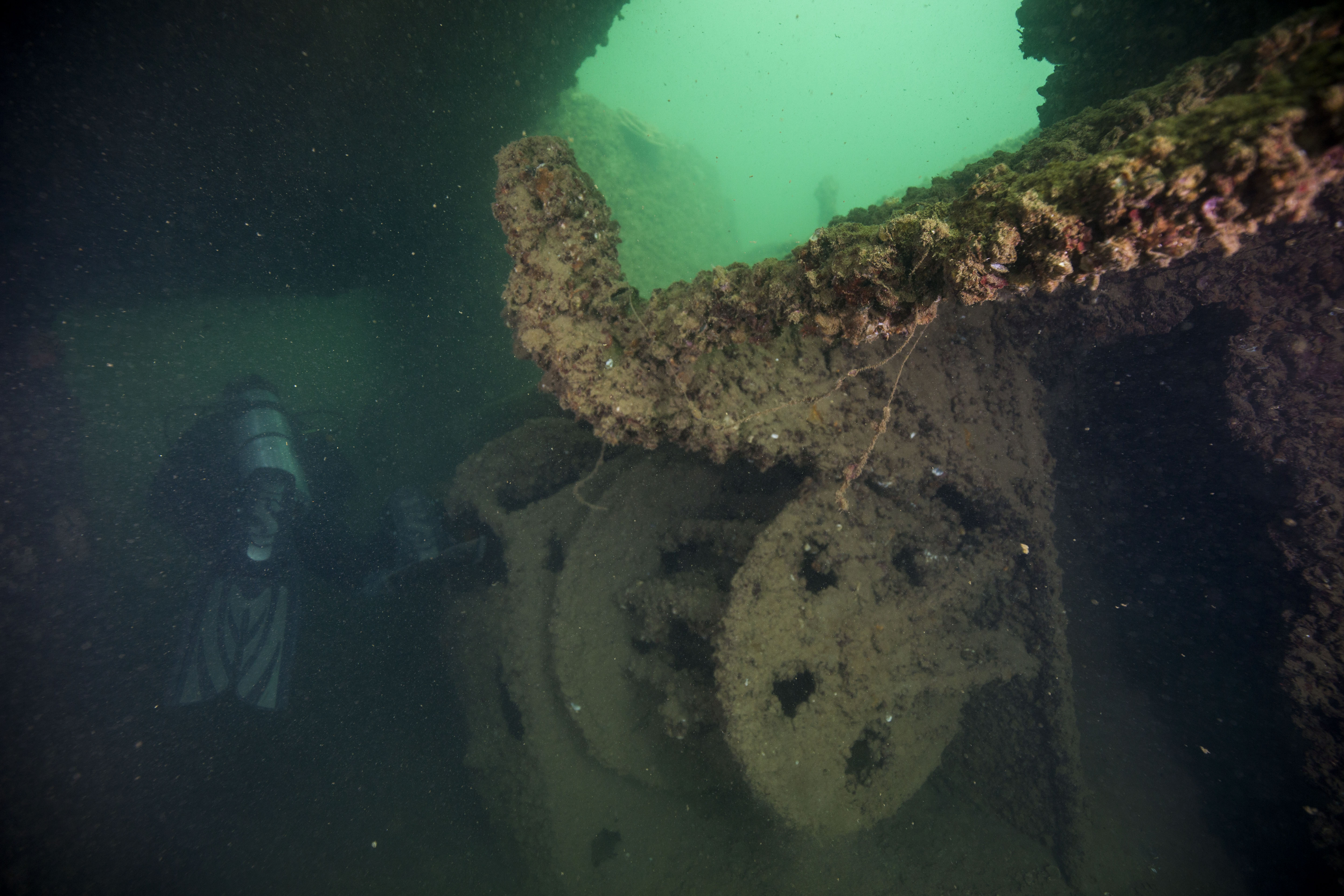
Swim-through on the USS Utah

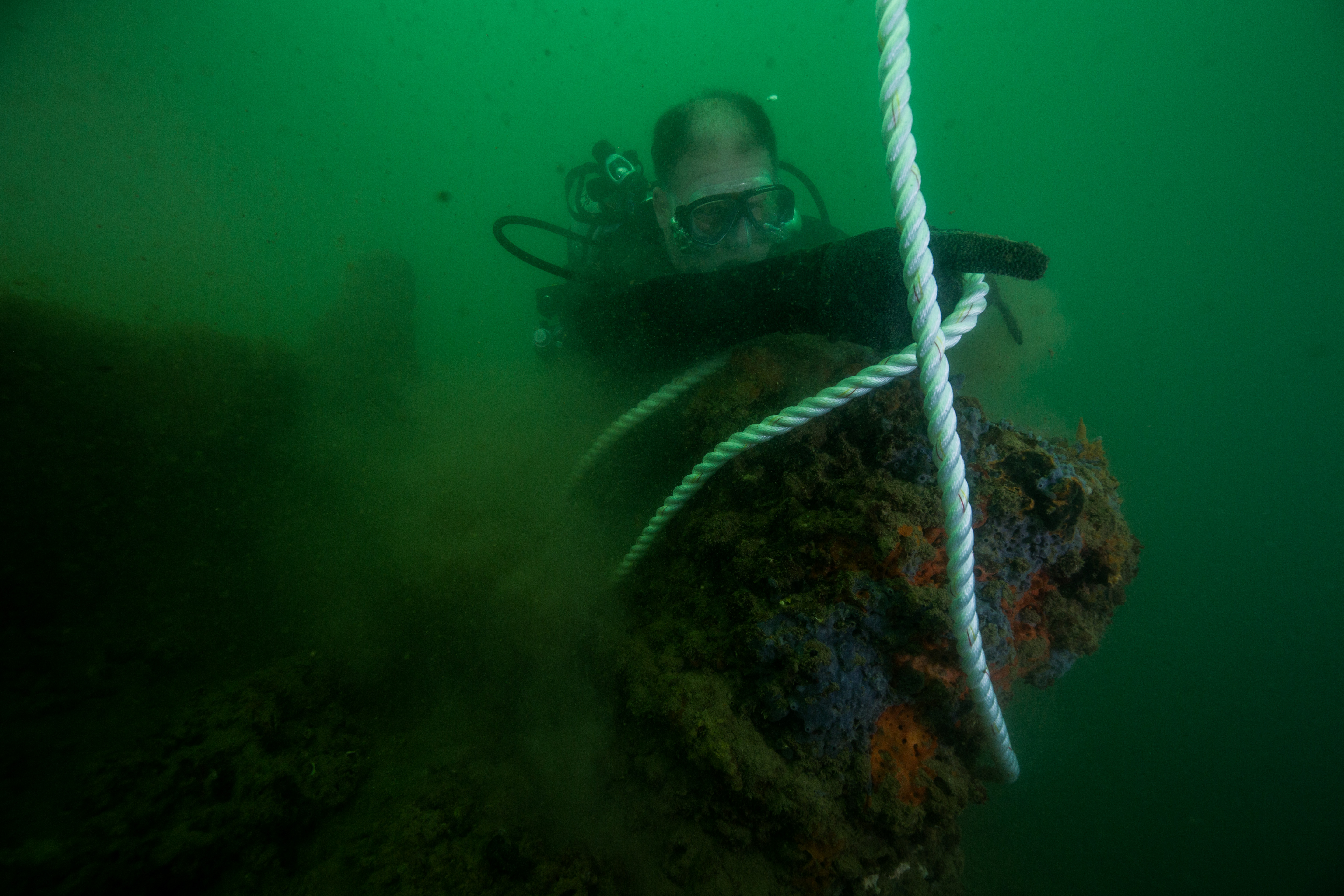
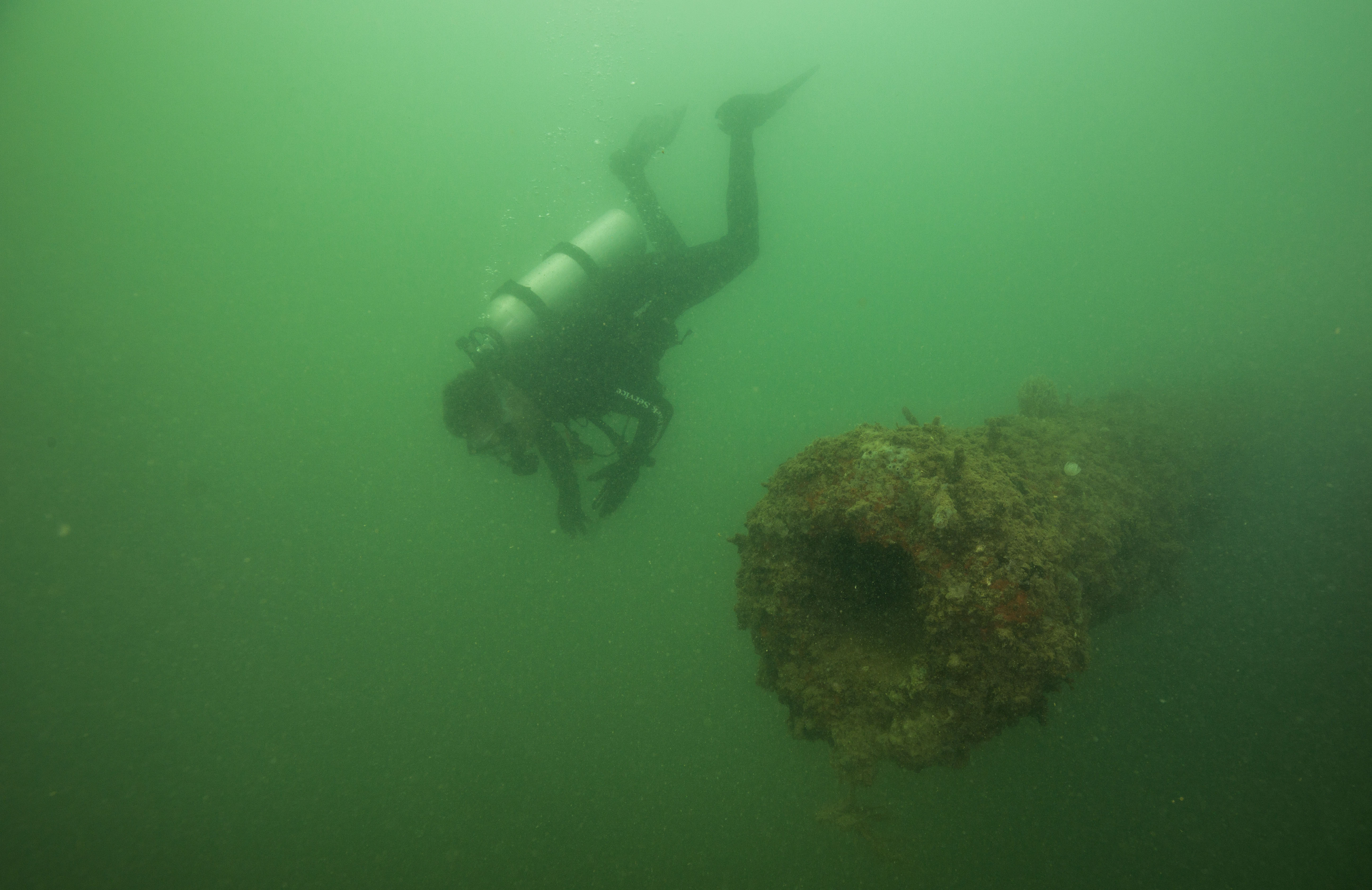
Unlike the Arizona, the Utah is not nearly as much of a tourist site. It doesn’t have a huge memorial built over the wreck or get visited by thousands of people a day, instead sits on the other side of Ford Island near a quiet field in front of a memorial pier, making for a softer and more reflective experience. We took advantage of this more secluded nature and jumped on a visitor-less window to suit up and swim out towards the wreck. Just breaching the surface in front of the pier, rusted shards of the hull and the side of the deck jut out to the water make this wreck seem dynamic and even more aged than it is. We drop into the water and I follow Dan and Scott to the stern. The ship is now laying on her side, making for a disorienting dive as you swim along it, especially in low-visibility conditions. Eager for photos, I made a couple quick stops to capture something before realizing that I was quickly losing sight of my buddies in the murk. It took a lot of self-restraint and careful, watchful navigation to not get lost here. After a little bit of swimming, we arrived on the stern, the anchoring site of the recently escaped buoy. Here, I got into position and snapped away as Scott masterfully tied in a new buoy. After a couple minutes and a lot of shutter actuations later, I found myself swimming back along the heavily listed deck towards the bow. 

Scott securing the buoy to the wreck

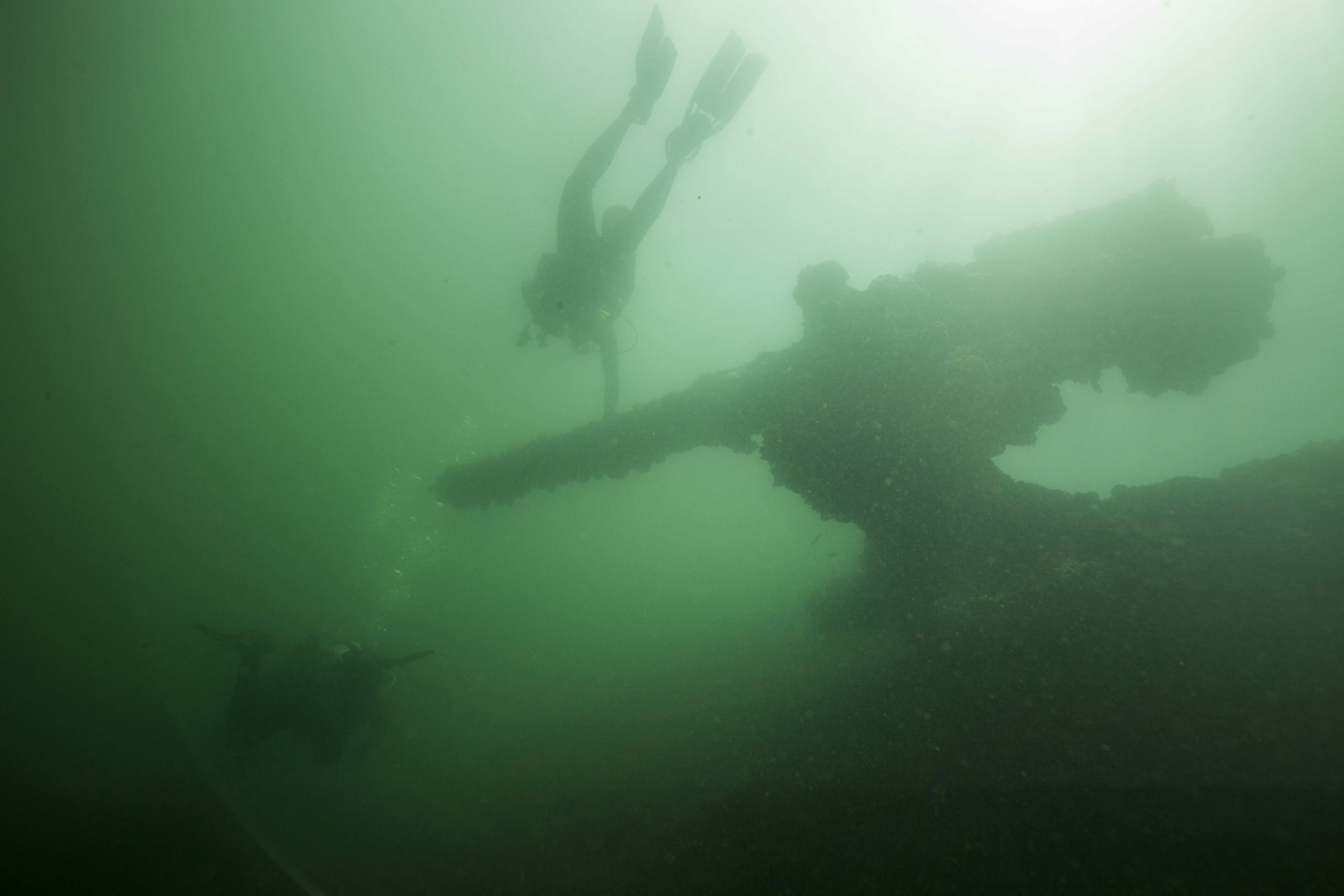
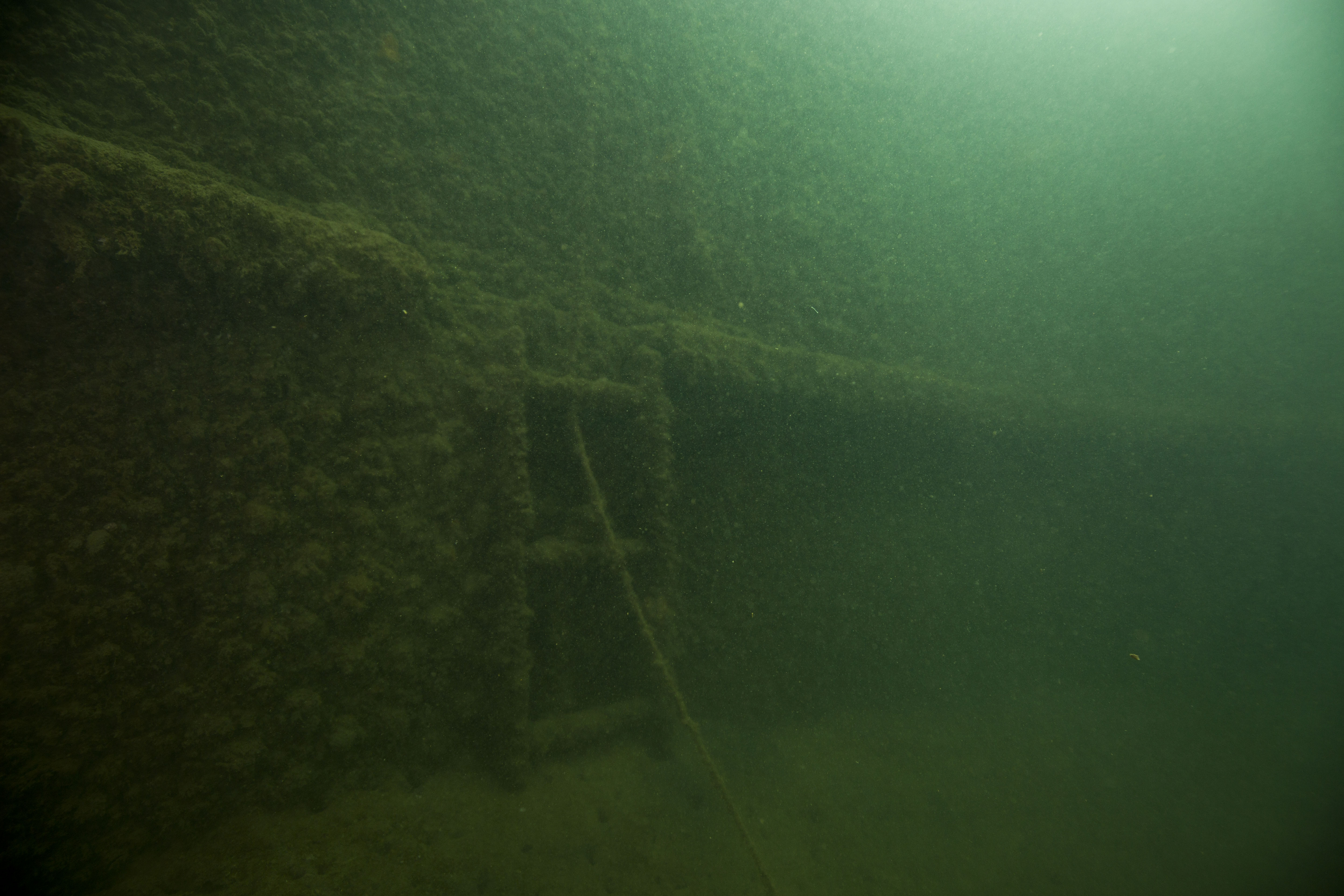
On the return, navigation was a little easier as it was now my second time making the trip, but I still noticed things I hadn’t seen before (and still had to utilize the entirety of my self-restraint to not fall behind taking photos). I passed stairs plunging below deck, swam past windlasses and marveled as giant 15-foot guns materialized into view before me. This was a bit ship, and the murky waters just added to the mystique of the experience. New, mysterious things would appear in-front of you as you swam along, giving you seconds to take in and process them before the next round of surprises would appear. Before I knew it we were back at the bow where we had started, and Scott and Dan went right to work switching out the last buoy.

Dan replacing the remaining buoy on the USS Utah

Our dive on the Utah was a quick one, as Scott was flying later and had to be out of the water in time for a sufficient surface interval. This fast-paced timeline, along with the fact that I had work to do and didn’t want to disappoint, meant that I didn’t really think much of the history of the ship while I was diving on it. For the Utah that realization came later while I was standing on the memorial pier after changing out of my dive gear. Looking at the rusted remains that rise out of the water and the bronze plaque commemorating the fallen, I thought about what it might have been like to go down with that ship, to be trapped below deck when it capsized that dreadful Sunday morning. A frightening thought, and something that I knew would be on my mind later when I’d be diving the Arizona.

One of the guns on the USS Utah

After a quick lunch with Dan, we set off to our prep point for the Arizona dive. This would be different for a few reasons. The Arizona gets many more visitors than the Utah, with more than 1300 a day visiting the memorial, so we had to try our best to not be distracting (which is tough, as SCUBA divers are incredibly interesting to many people). We had a different task – this time I was to photograph marine life on the wreck, for the NPS to use in creation of outreach materials – so I had to put my head in a different place and prepare myself mentally for a new job. It’s a larger vessel, about 100 feet longer than the Utah at 608′ total length, meaning we had to be more attentive to navigation. Finally, we had a time constraint – the Navy had some sonar tests planned at a nearby dock, so we had to be out of the water before those started.

The bow of the Arizona in murky harbor water

With all of this information swimming around our heads, Dan and I swam out to the marker buoy on the bow as stealthily as possible and dropped in. Visibility was slightly better here, shifting between 5-12 feet, so I quickly got to work and started snapping away at anything alive. Photos of biological life are my favorite types of photos to take but I knew I still had to work hard to capture compelling images of it in low visibility, especially when most of the life is encrusting invertebrates. The hull of the ship is completely covered in life of all kinds, as hard structure in a silty harbor environment attracts many different species. Sponges, tunicates, bryozoans and corals adorned the deck and structures and turned them into a multicolored array of life. These organisms, while intricate and beautiful, are a bit hard to glorify with a wide-angle lens (which I had equipped), so I focused on juxtaposing them with the wreck itself for greater impact.

While swimming along the deck of the Arizona, it really became clear just how large this ship is. Resting face-up in a sea of mud, diving this sites wasn’t nearly as disorienting as the Utah, and travelling along it allowed for a full comprehension of exactly what you were on. Seeing some of the large, intact structures that remain on the ship, like the huge barrels of the 14-inch gun turrets, was a stark reminder of what you were on – a battleship.

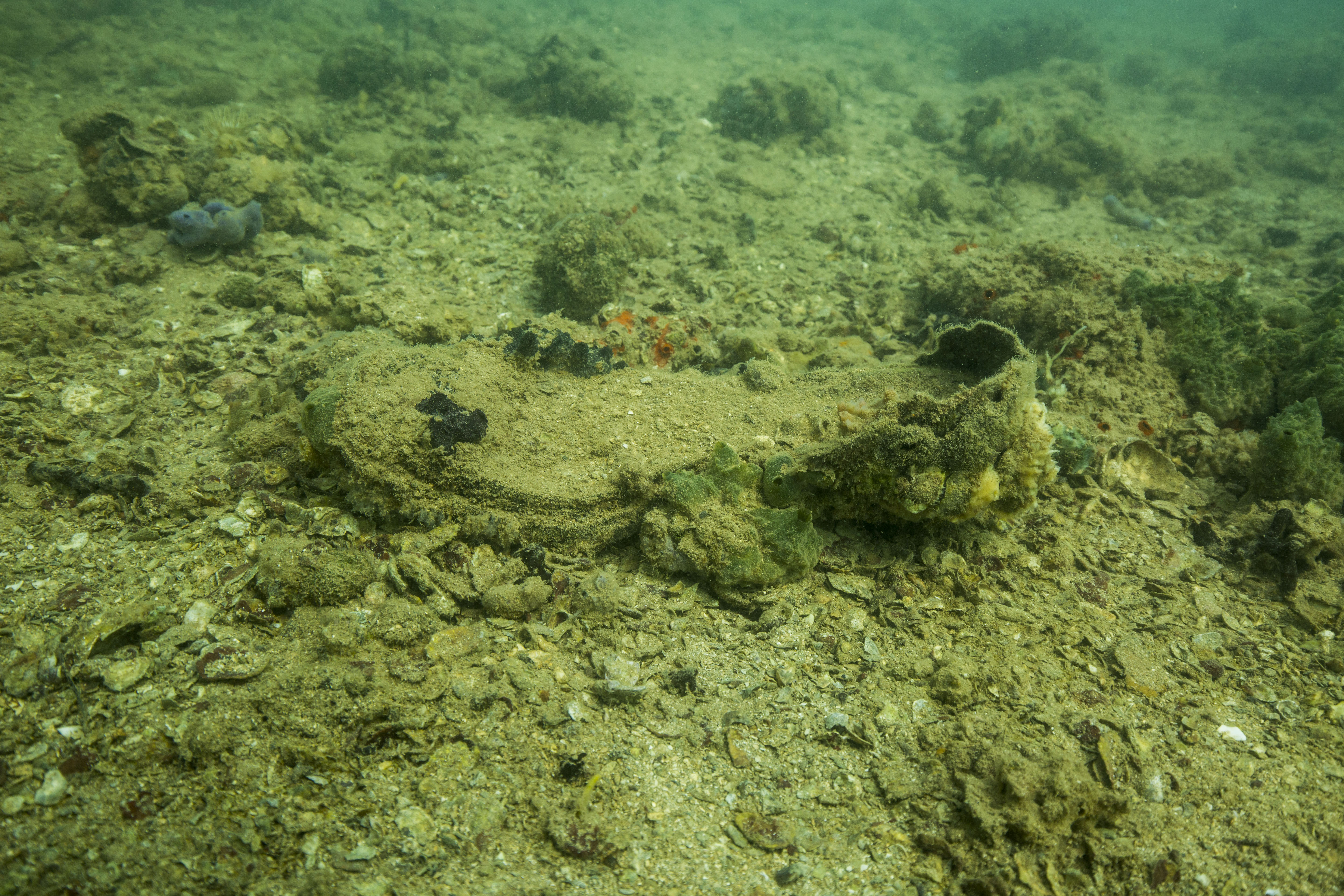
As I was photographing life on the wreck, I also took some time to capture snapshots of little reminders of what occurred here. Unlike the Utah, the Arizona still has a lot of artifacts from the crew who used to live there. Its ‘gentle’ descent to the harbor bottom likely assisted in this, so some items still lay on its silent decks. During our dive we passed things like a pitcher in what used to be the galley, or the remains of an unlucky crew member’s boot.These served as a solemn reminder of the tragedy that occurred here years ago, and that the past occupants of these silty decks, despite the years in between and occupational differences, were just as human as I am.

Interspersed with moments of reflection and focused shooting, I was hit with tinges of panic relating to a very pertinent issue for me in that moment – I was working with critically low camera battery. After our Utah dive, I had forgotten to turn my camera off, which normally is a non-issue as it automatically goes into a battery-saving sleep-like mode. However, a recently developing sticky shutter problem that I was battling caused the camera to stay active the entire surface interval, draining my precious battery-life and threatening to cripple my ability to work. This, unfortunately, was not an issue I noticed until I had descended into my dive, starting off with a pitiful 24% battery. I was now stricken with a difficult dilemma – trying to conserve my battery long enough for it to last the entire dive, while also wanting to photograph everything I saw on this once-in-a-lifetime dive. This was especially stressful as I again wanted to deliver on my task to produce good images of the life on the wrecks, and shooting incredibly conservatively to sustain a dying battery isn’t always the best way to do that. Thankfully, fate worked out in my favor and I managed to stretch the battery to last the whole dive (with a whole 4% to spare at the end too).

Stairs going below deck on the USS Arizona

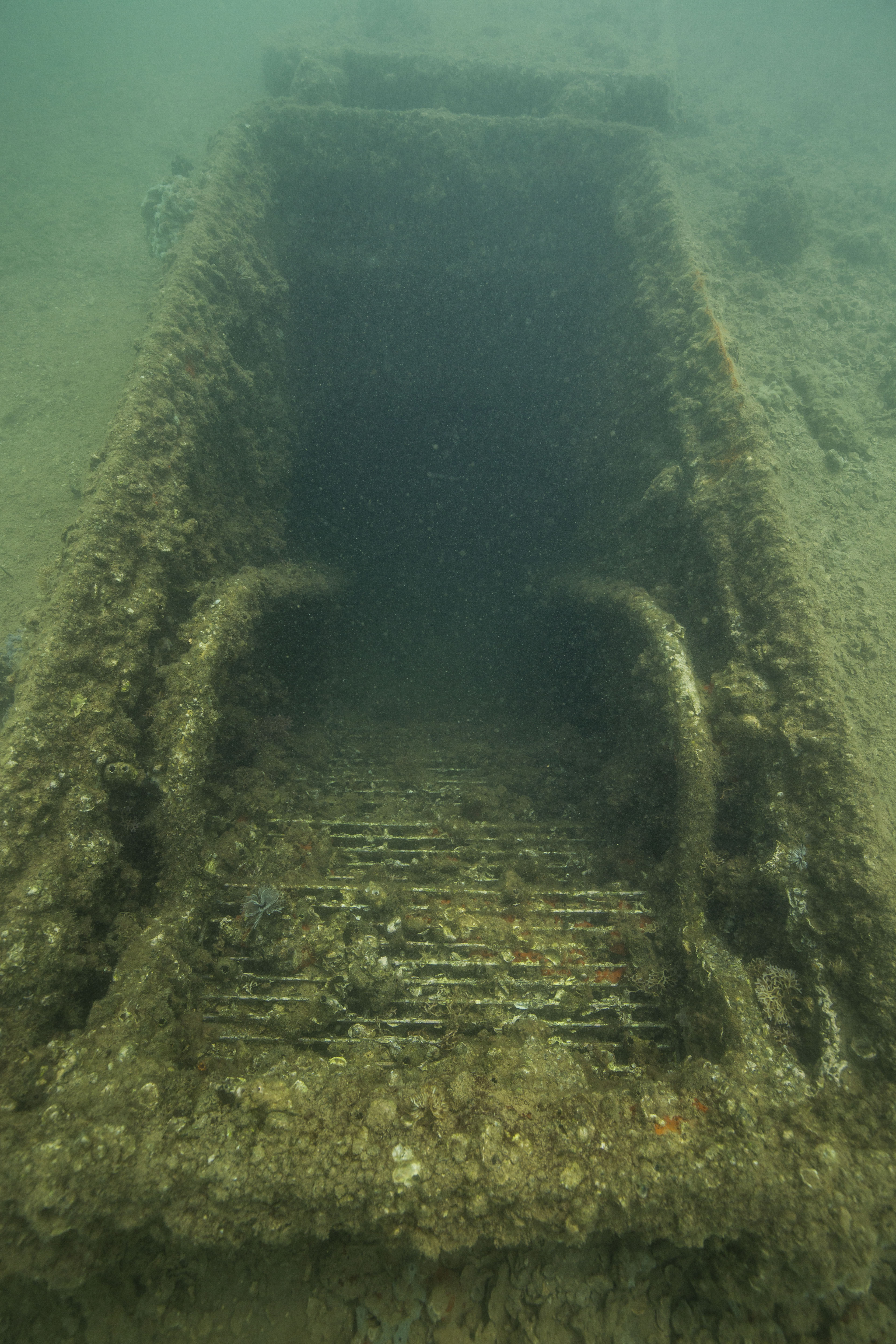
When we reached the stern of the ship, we visited two locations that were especially somber to me. The first one was seemingly innocent – the empty turret where some of the rear guns used to lie – but has a different use today. As we dropped down into this cylinder, somewhat reminiscent of a large smoke-stack, we were met with a large deposit of fine silt with a rope descending into it. This, as Dan signed to me, was where survivors of the bombing can choose to be laid to rest. Out of the 1512 crew members on board, around 300 of them survived the attack. If they desired, their cremated remains would join those of their crewmates in the Arizona itself, and the way in was through that silt. The remains would be lowered below deck through a hole in the base of the turret in an elaborate ceremony. Being in such close proximity to a way into this ship, which effectively is a tomb for the 1000+ people who went down with it, as well as thinking of what it must have been like for the survivors, who lost so many of their friends and chose to be buried with them, made this a very meaningful moment. The other location was the portholes on the side of the ship. Unlike the silt in the remains of the turret, these portholes were literal windows into the ship, glimpses into the dark insides of a deep tragedy. It was odd looking in these and thinking that no one has been inside these rooms in almost 80 years, and that the last time they were occupied something absolutely terrible happened. Furthermore, there was an ebb and flow of water coming in and out of these portholes. Out of place in an otherwise calm harbor, this must have been caused by slight currents moving through the hull of the ship, travelling the maze of passages inside. To me, this dynamic movement made the Arizona seem alive in a way I hadn’t seen before. I thought about what the current had passed by on its journey through the ship, how it had brushed past things that hadn’t seen the light of day in decades.This flux of water in and out of the ship seemed to compliment the sentiment around the memorial. Despite being entombed in the vessel indefinitely, the memory of these lost sailors was still very much intertwined with the outside world, with sentiments constantly coming and going with the tides.

A porthole on the USS Arizona

Coming up from the dive, I had a lot on my mind. Along with lots of questions for Dan that I just couldn’t figure out how to communicate to him underwater, I had also just dove on what is essentially a mass grave. I’m not naturally a somber person, but it came pretty easily here. Looking past the loss of life, its also a pretty cool dive, so I was a bit excited. Diving on a battleship itself is a rare opportunity, but diving the one whose sinking essentially kickstarted the US’s participation in WWII  – a pretty incredible chance to explore a historic site in a way that only a really select few are able to. Still buzzing from that dive, I headed home that night eager to look through my photos and to log my dives. I had a lot to write down.

The rope on which remains of the Arizona survivors are lowered into the ship

The next day I met Dan at the visitor center and started to look through my photos with him. We wanted to select a few shots of life on the wrecks, identify the life, and then to create some informational material for visitors. I had edited and picked some selects the night before, but the identification proved to be a more difficult task than initially thought. Almost all of the selects I had chosen were of invertebrate life, as the few fish I had seen on my dives hadn’t been agreeable subjects. Invertebrates, to those from a non-biological background, can be a bit difficult to identify sometimes. While family and genus are sometimes easy, locking down the exact species can often be pretty tough, sometimes requiring time-intensive keying out or even a microscope to pick out defining features. To make this even more difficult for us, we didn’t have an ID book on hand and had to resort to internet guides. Thankfully, quite a few of the species were common ones, and we had the assistance of local experts like Eric Brown via email, so we were able to lock down a couple IDs for the outreach project. After this, I helped Dan with a few errands around the base. This was a cool opportunity to see more of it, still very exciting for me as I’d never spent much time on any base before, let alone one this size. It was thrilling to drive along and see huge battleships moored beside the road, and Dan did an excellent job showing me some of the historic sites the base had to offer.

The USS Bowfin

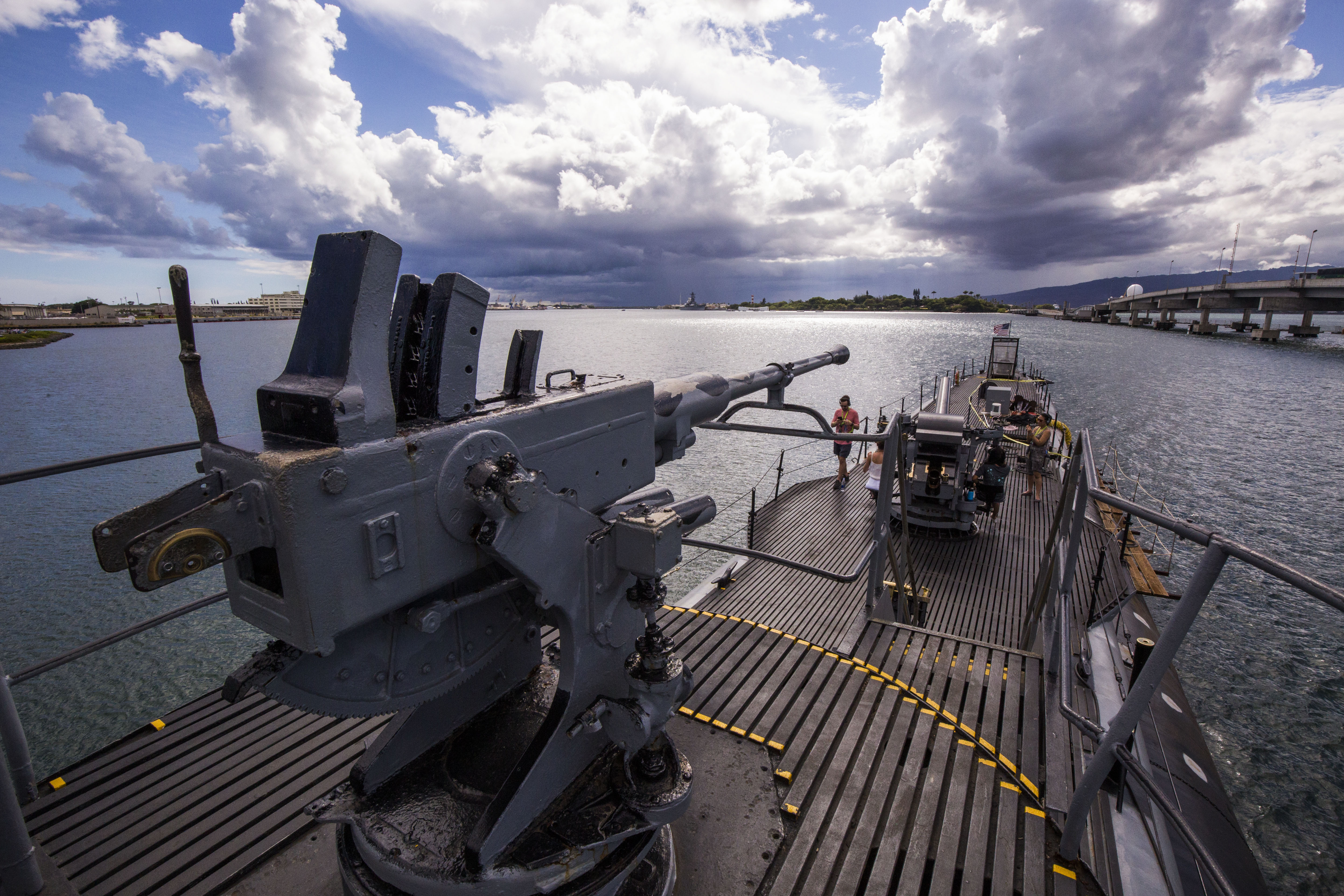
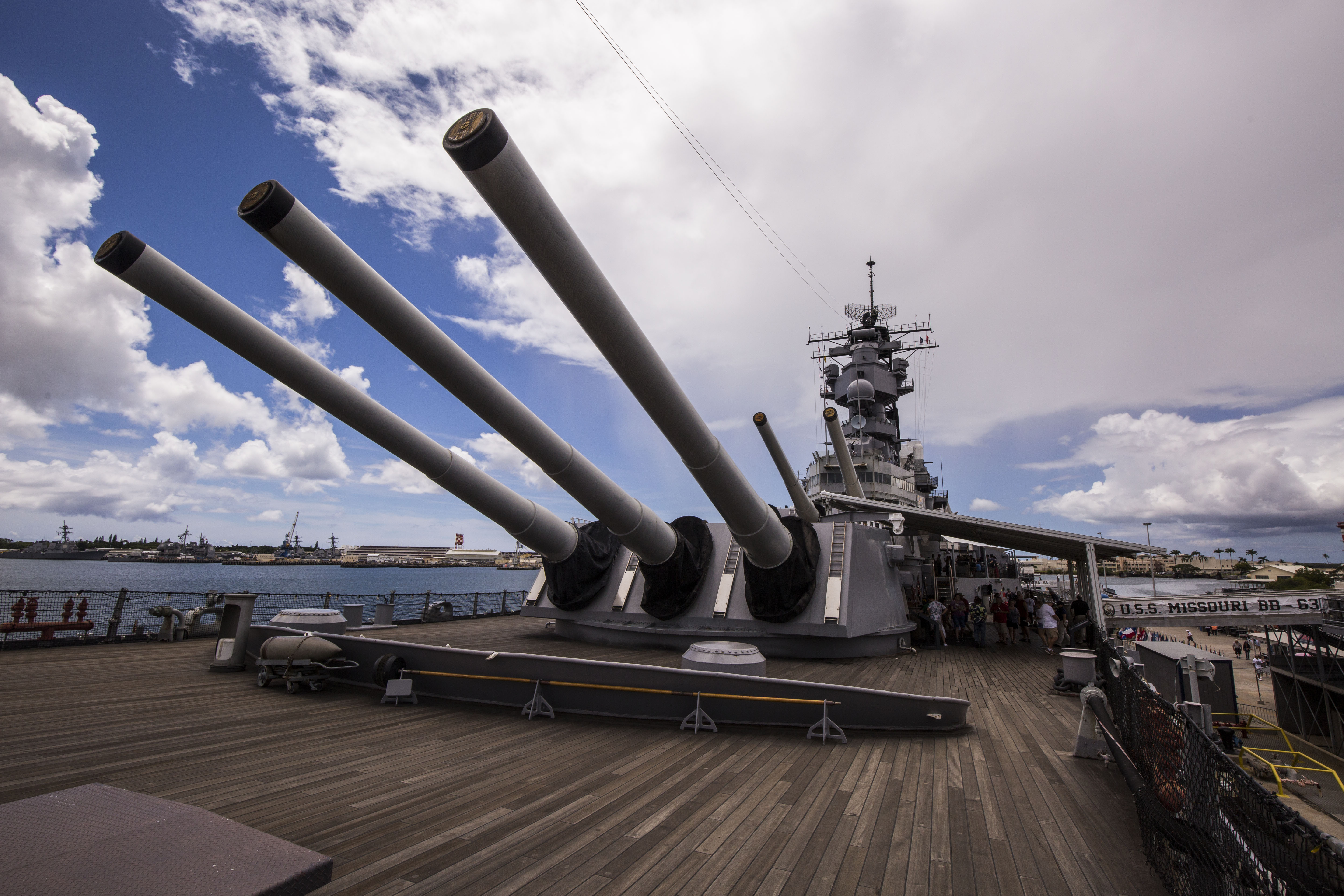
On my final day at PEARL, I did some sightseeing. Scott was nice enough to hook me up with a Pearl Harbor Memorial Sites Passport, which includes admission to the Arizona memorial as well as three of the other historic sites on base : the USS Bowfin, the USS Missouri, and the Pearl Harbor Aviation Museum. This was a long day of tourism, but was a highly educational experience. It was nice to learn more about the war and the event that started it for the US, certainly put the last couple days in a bit of context. I thought the Memorial and it’s associated museums did an excellent job portraying the attack from both sides – the US and the Japanese. They included eyewitness testimonies from veterans from both countries, highlighting above all that this was a human war, hurting people from each land, not just a faceless enemy murdering for pleasure. I also found touring the USS Missouri very interesting. The battleship where the treaty ending the war was signed, the Missouri is open for visitors to go inside and explore its halls and rooms. This put the Arizona in a new light for me, as it revealed just how huge that ship really is. It’s hard to comprehend while swimming along the deck how much of the ship is closed off and hidden away, buried under mud and impossible to see, but walking the never-ending halls of the Missouri opened my eyes to the immense area below deck where most of the life on these ships really took place.

The USS Missouri

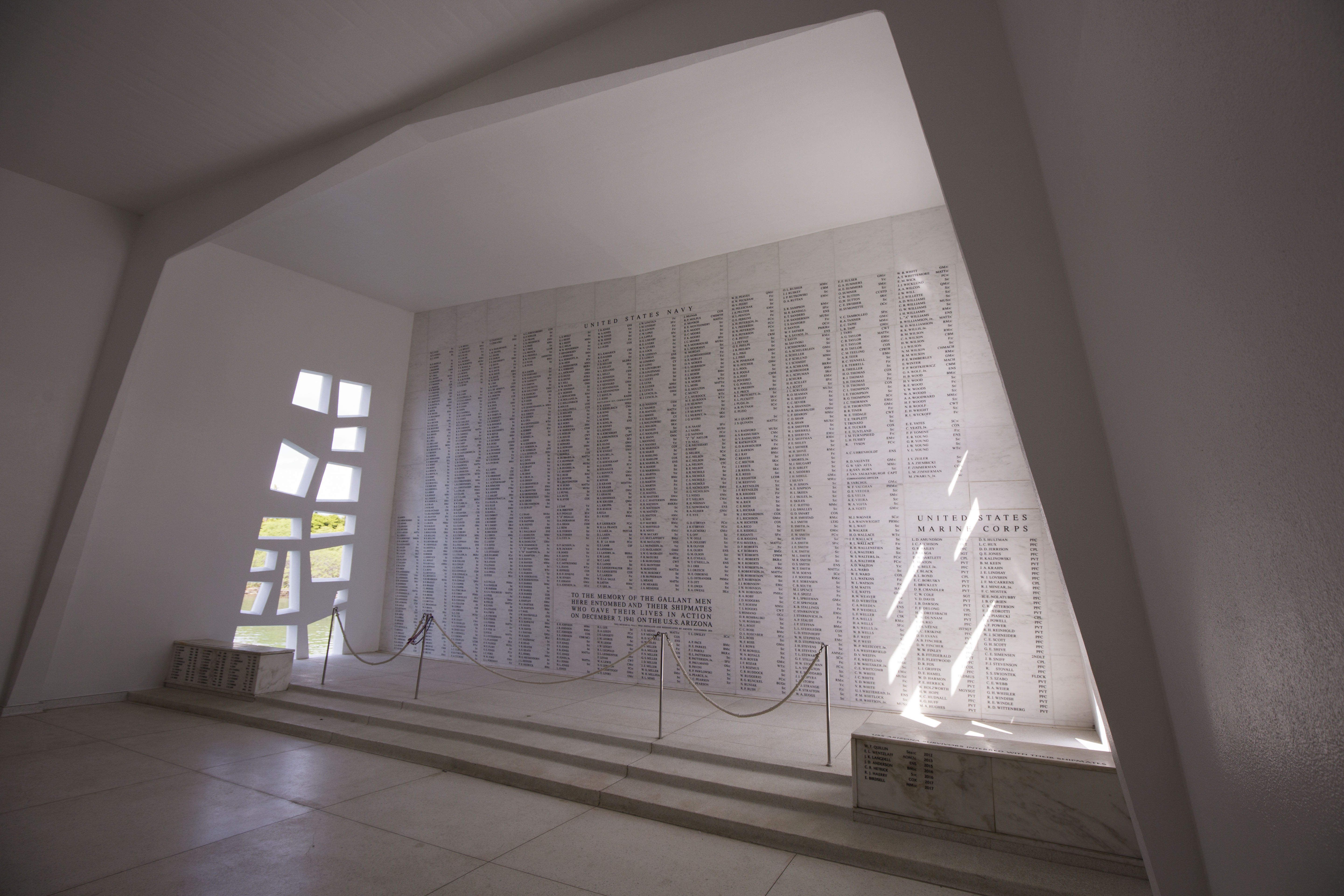
Visiting the Pearl Harbor Memorial was a very impactful experience for me. Diving on and seeing these historic sites in person is powerful and hard to describe. The memorial does an excellent job of honoring those who passed. Despite having passed decades ago, these lost crew members still influenced the hundreds of visitors who view the memorial every hour, people who come to learn and pay their respects. Their sacrifice, whether or not it was in defense of a mutual belief between the crew and the tourists who come, was a human sacrifice. They lost their lives defending something that was dear to them – their country, their freedom, their families. It doesn’t matter whether or not people viewing the memorial agree with US foreign policies or even agree with the US’s position in the war. Everyone can emphasize with giving your life to protect what you stand for.

The names of the fallen in the Pearl Harbor Memorial

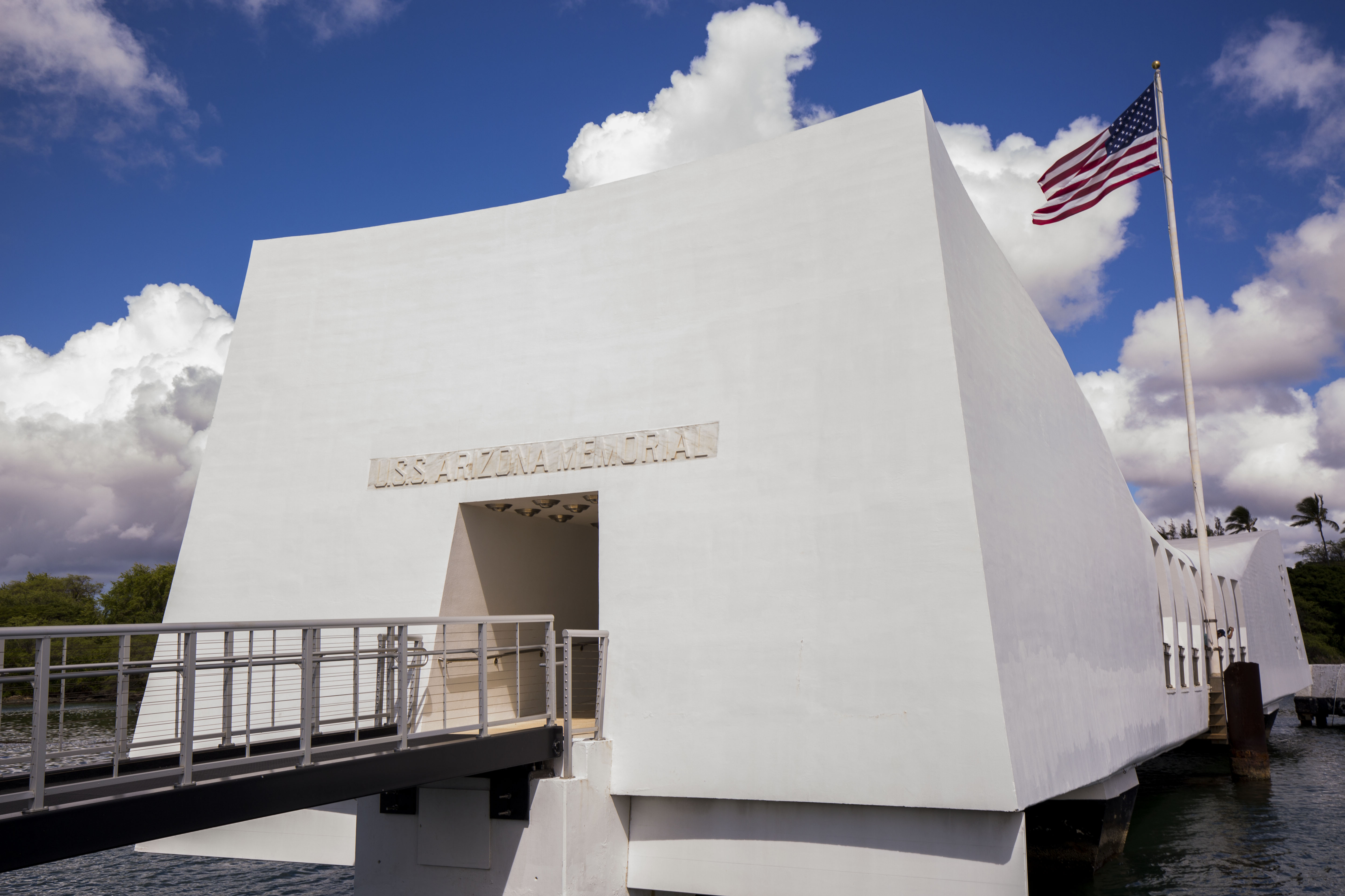
Leaving Pearl Harbor was significant to me for one more reason – it marked the last park in my summer of adventure. After a short week off, I would be flying off to DC for some final presentations, before ending this wild internship. While sad its all coming to an end, I think PEARL was a fitting end to this journey. Starting off, I learned how the NPS works to preserve submerged archaeological treasures, then how they monitor and protect biological resources. Travelling to Kalaupapa, I saw how they protected historic sites to ensure sensitive past transgressions aren’t quietly swept under the rug, and at Pearl Harbor I saw how they preserved and honored the memory of those who gave their lives for our country. Feeling as though I had experienced a diverse array of the places and resources that the National Parks Service works to preserve, I now felt ready to go to DC and share what I’d experienced.

The USS Arizona Memorial

Share

Photography, Archaeology, and Outreach – YDWP in Biscayne National Park

This final short week in Biscayne National Park was almost definitely the one week of my internship that I was most nervous for. By a wild stroke of luck, I had been handed an incredible opportunity: a chance to take photos for a magazine, something that many photographers dream of. Mary Frances Emmons, editor-in-chief at SCUBA Diving Magazine and good friend of Dave and Brett, had reached out to Brett asking if he’d be able to photograph a program happening at Biscayne National Park this summer. Brett was unavailable, as he had SeaArrays to drive and shipwrecks to model, but as luck would have it he would have an intern in the area right around the same time – me.

The job was to photograph this year’s maritime archaeology segment of the Youth Diving with a Purpose program, an initiative to get underprivileged youth into subtidal work through archaeological and biological experience. I’d be working with a journalist and a few members of the Parks Service to document and assist this program during its time at Biscayne. This was obviously something that I was very excited for, the chance to not only have published photos in a major magazine but to shoot on assignment as well, but also a daunting task.

This was my first real underwater photographic assignment and a big one too – the folks at SCUBA Diving had taken a bit of a gamble on me, trusting the good reviews from Brett and Dave and hiring someone with no real magazine experience as the only one to provide photos for their article. I was honored that everyone had so much faith in my shooting ability and determined to make them all proud. However, I knew this assignment would touch on some of my weaknesses as a photographer. Despite spending most of the past couple years taking photos, my photographic experience was limited in two major aspects of this assignment: taking topside photos and underwater shots of people. Most of my experience comes from underwater wildlife photography, so while I was very comfortable using a camera I was a little hesitant as to how to approach this. Thankfully, the past couple weeks of this internship had been an excellent warm-up with the large number of images I produced for my blogs.

The program that I was assigned to document, Youth Diving with a Purpose (YDWP), is one that the SRC has been collaborating with for a while. YDWP is an offshoot of the successful Diving with a Purpose, a nonprofit designed to preserve and protect submerged cultural resources while also providing archaeological education and training. These programs have a special focus on shipwrecks of the African slave trade and uncovering more detail about the maritime history and cultures associated with this. A specific maritime target of the group since its founding is the wreck of the Guerrero, a high-profile slave ship that is believed to have sank somewhere off the Florida Keys. This particular vessel has yet to be located, so in the meantime the group is focusing on assisting the Parks Service with mapping the many wrecks located within the boundaries of Biscayne National Park.

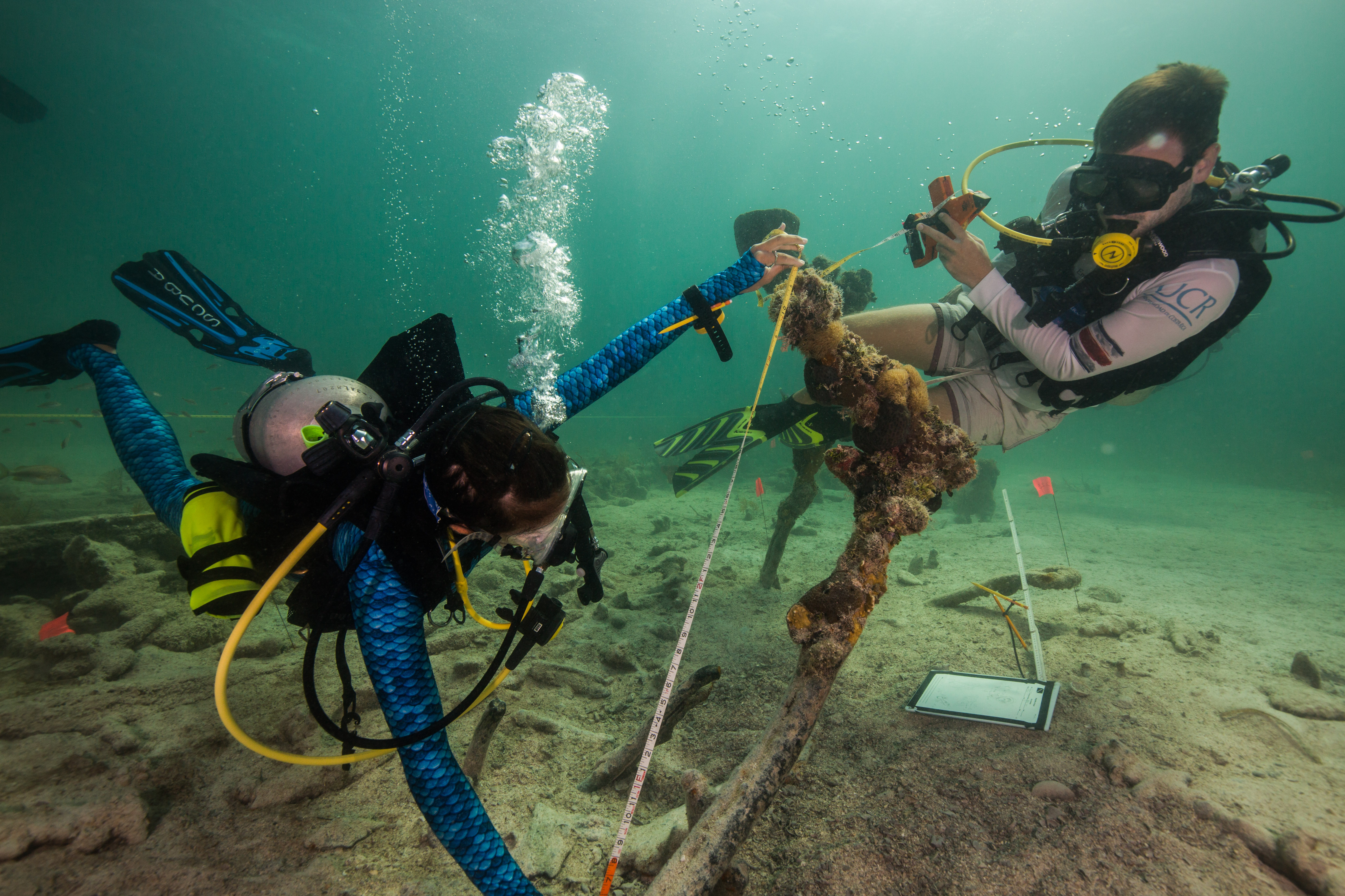
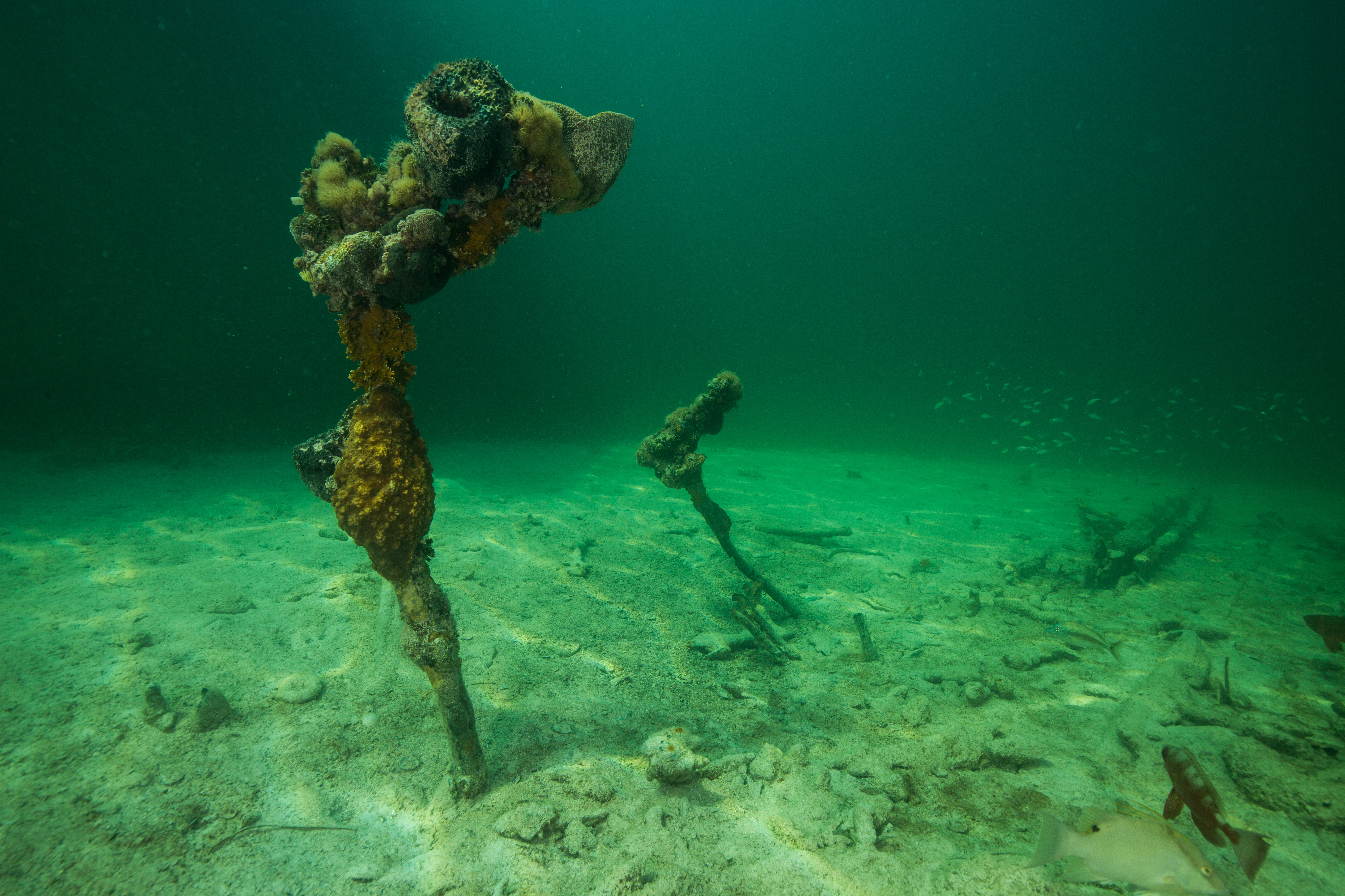
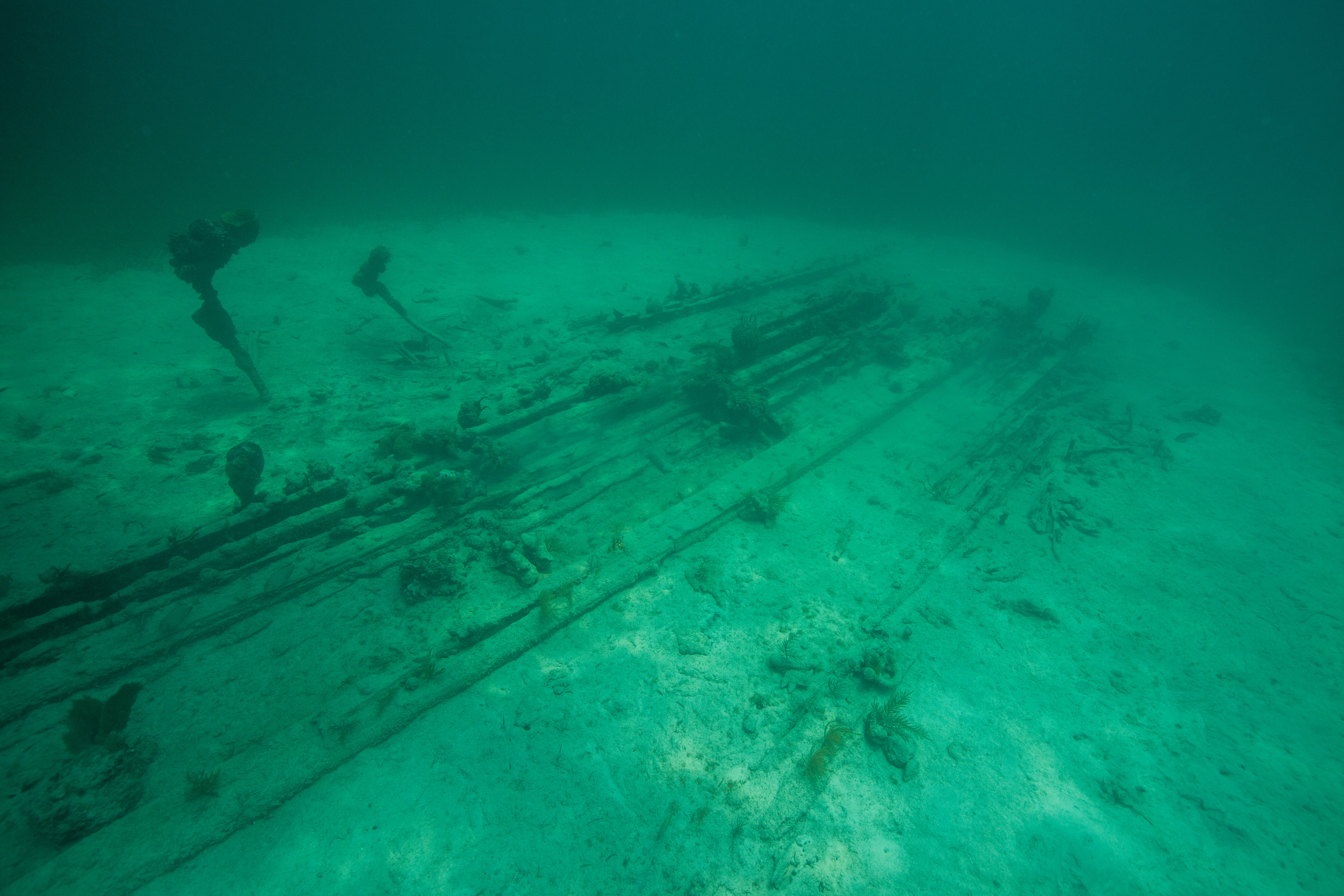
This year, students from across the U.S., U.S. Virgin Islands, and Costa Rica travelled to South Florida with a team of instructors to tackle the mapping of a wreck in Biscayne called BISC-60, or Captain Ed’s wreck (named after the Captain who discovered it). This site is the remains of a mid-1800s vessel, lying in 22 feet of water just above the southern border of the Park. These students would spend a day in the classroom learning the basics of underwater mapping and maritime archaeology along with some history about the park, before venturing out into the field to put those newly discovered skills to work.

Jumping into a dive on the site

This week started off with a long day of lectures and land-based exercises. I travelled to the Dante Fascell Visitor Center at Biscayne National Park with the team of NPS personnel who would be assisting the YDWP team this week: Dave Conlin of the SRC, David Gadsby (an archaeologist from the Washington branch of the NPS), Josh Marano (maritime archaeologist with south Florida parks), and Sydney Pickens (a recent YDWP graduate and budding marine archaeologist). While my main job would be to photograph the program, the rest of the Parks Service team would be working to facilitate the program from the Parks side of things: setting up the classroom and the wreck site, making sure the program has everything they needed, and of course lending their valuable expertise.


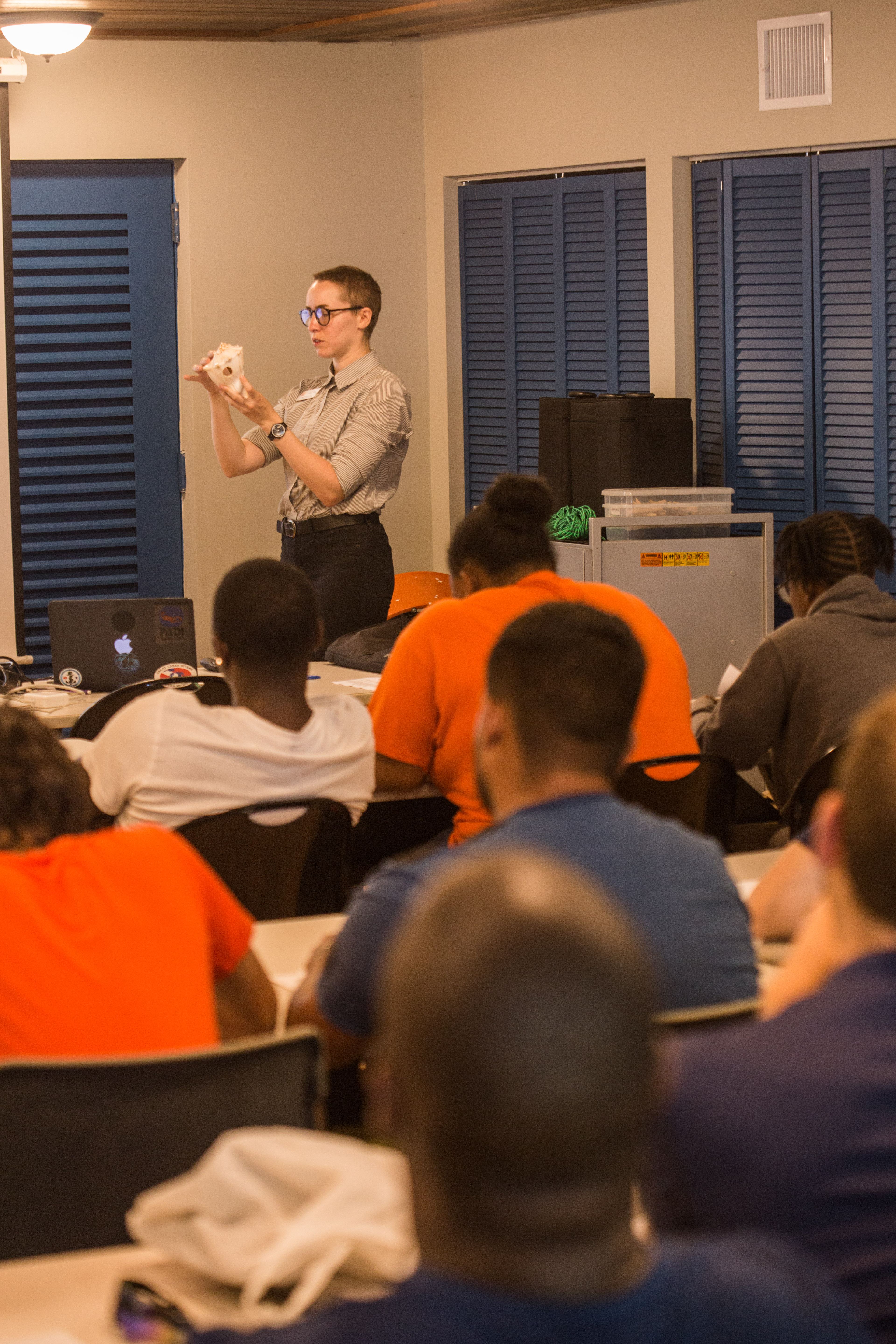
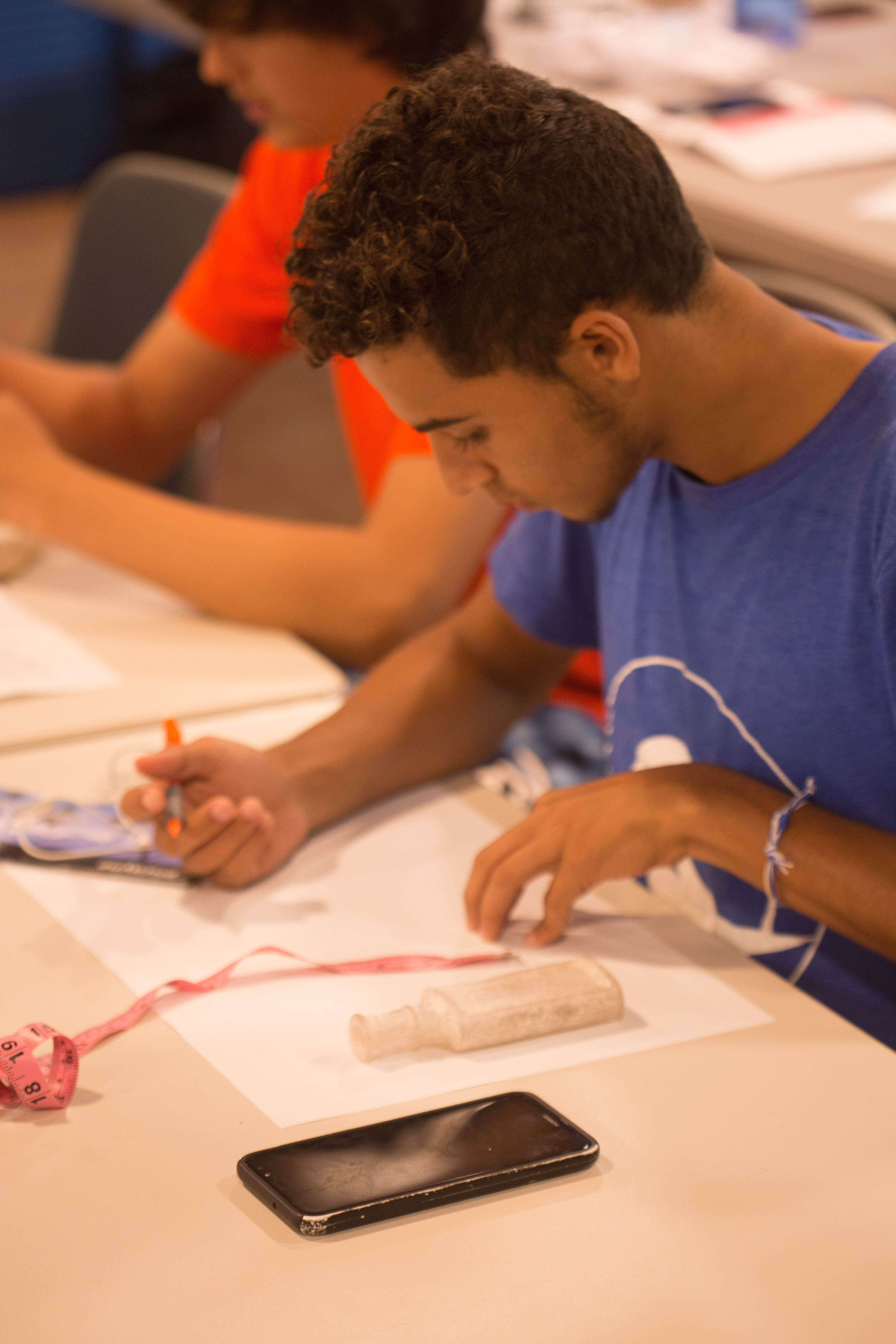
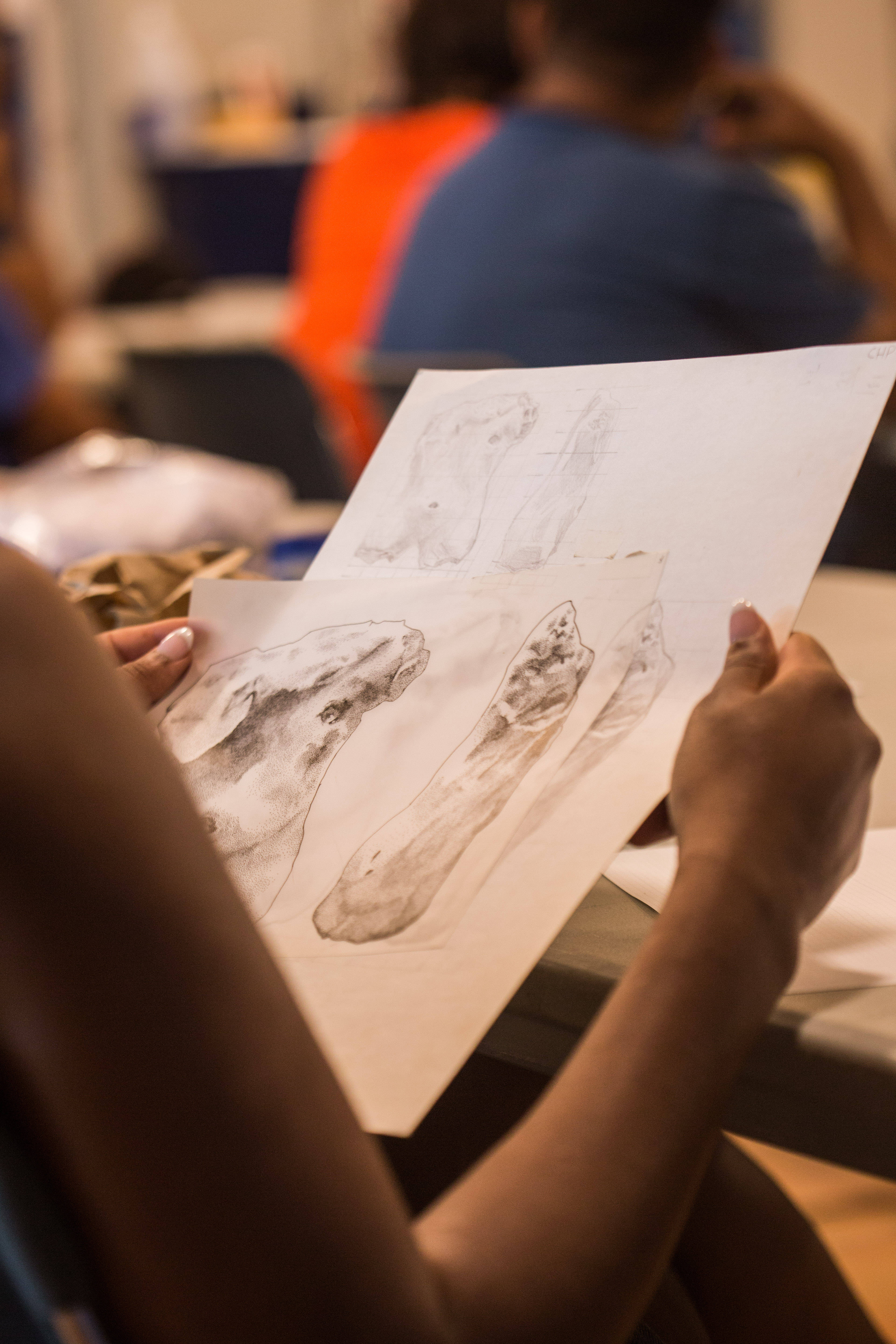
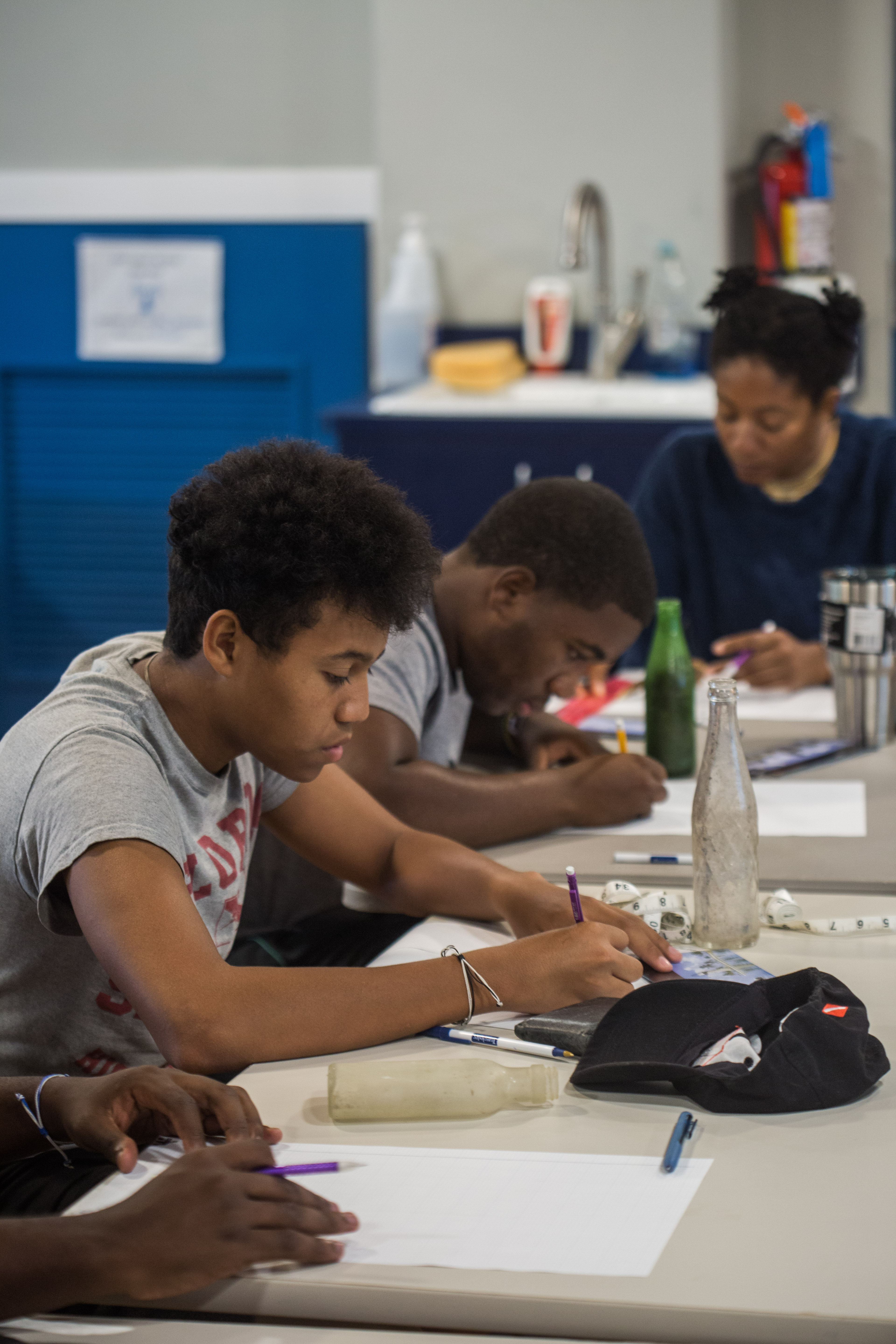
While the students got an assortment of lectures, ranging from everything from the history of the DWP program to scientific illustration, I worked to document the process. Taking classroom photos of lectures and illustration practice wasn’t the most exciting thing I’ve done during this internship but was still something that I took seriously. Thankfully, I was also able to pick up a little of the info that the various lecturers had to say, learning a little bit about the Park, the history of YDWP, and about maritime archaeology. After taking a couple hundred shots of the students hard at work absorbing lectures and practicing their sketching skills, we moved onto a welcome outside break to practice the mapping process itself.


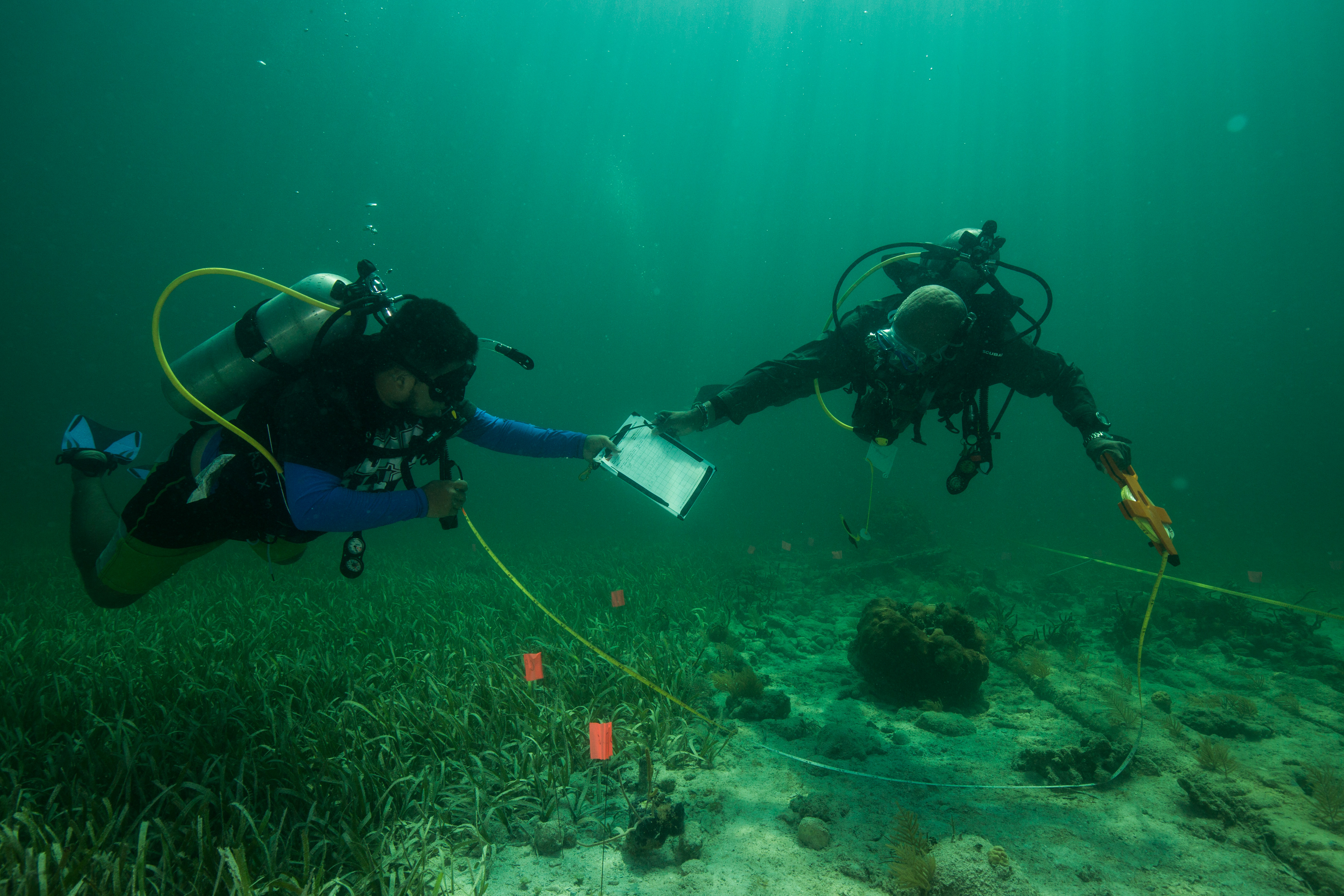
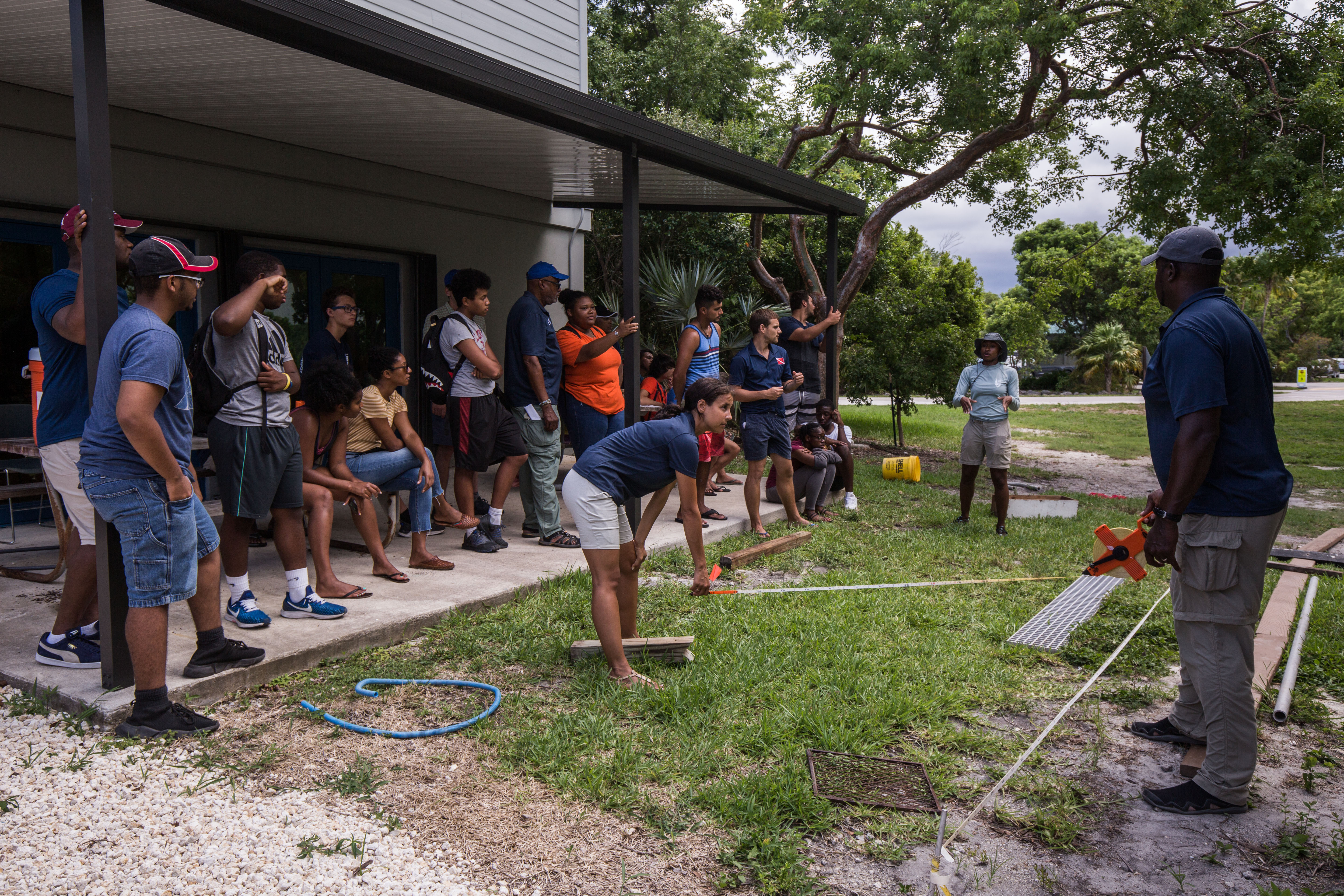
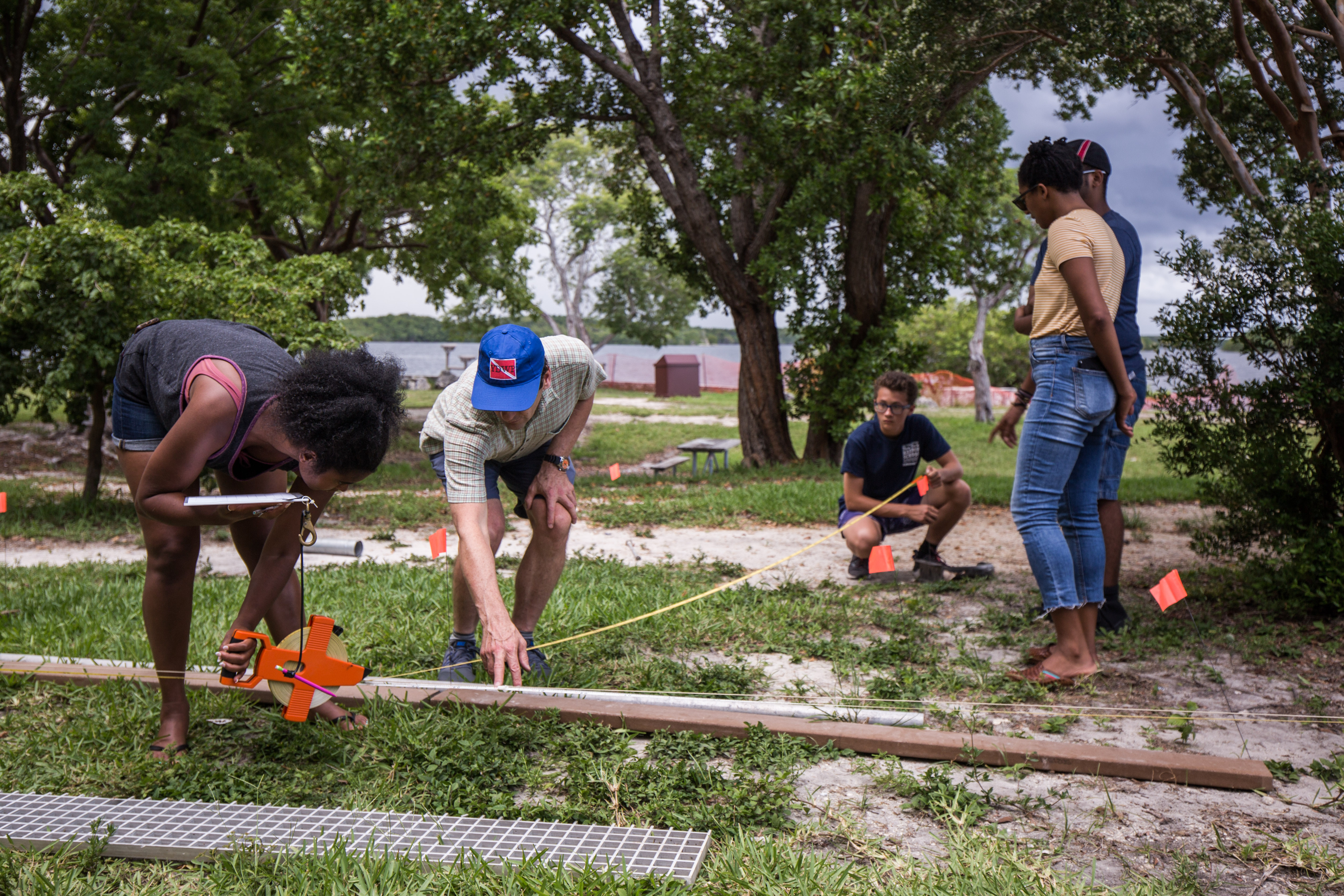
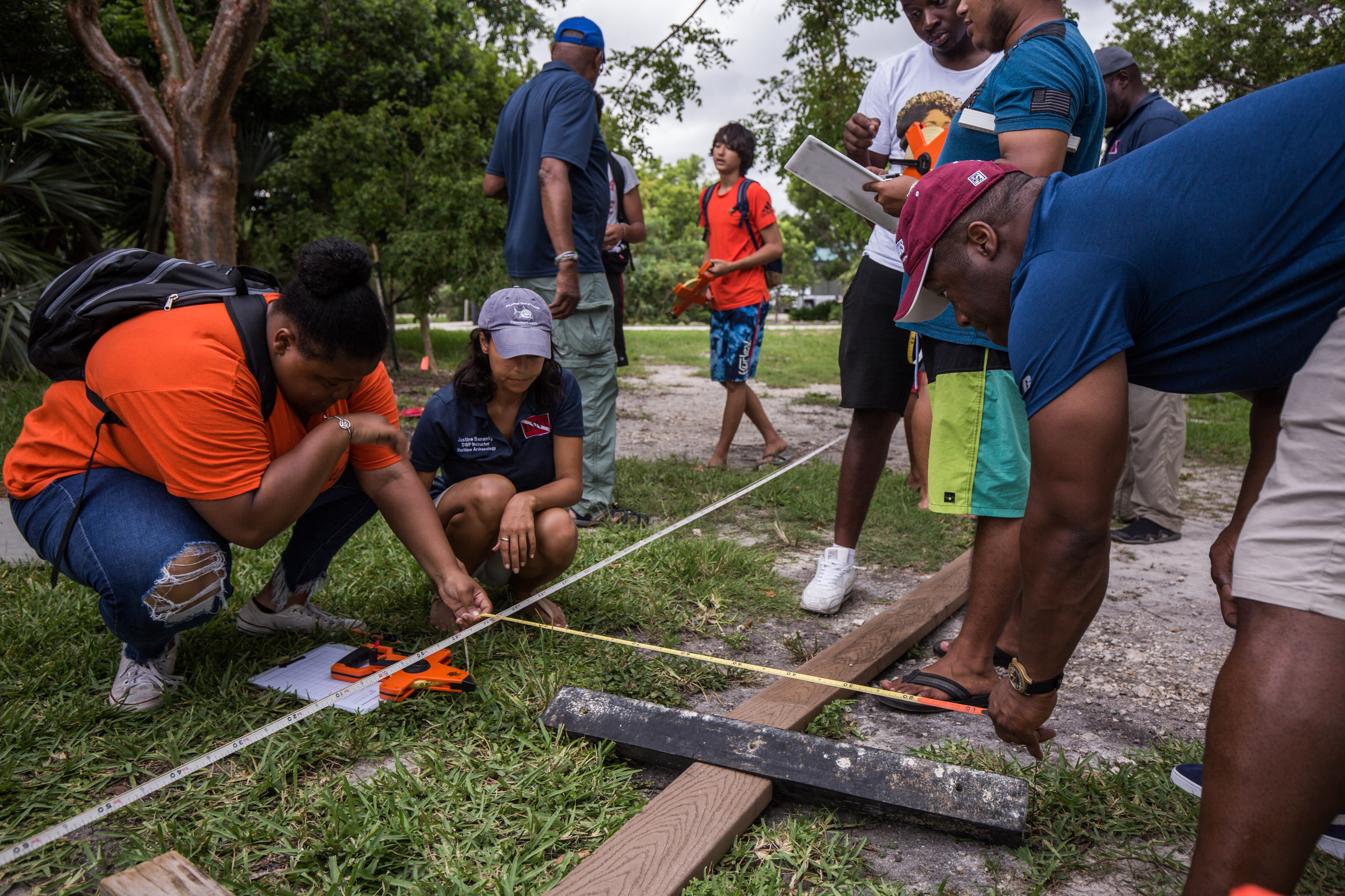
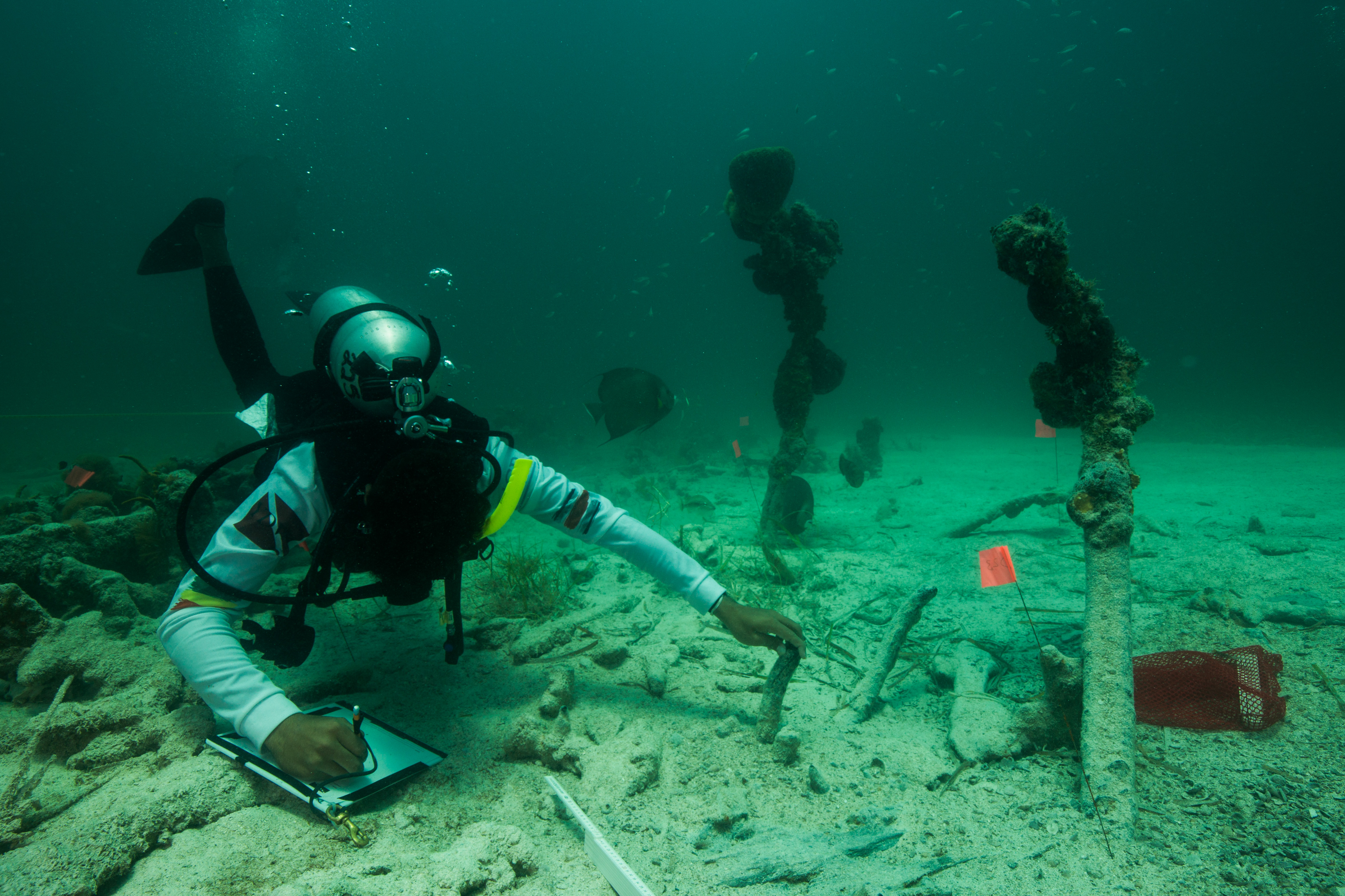
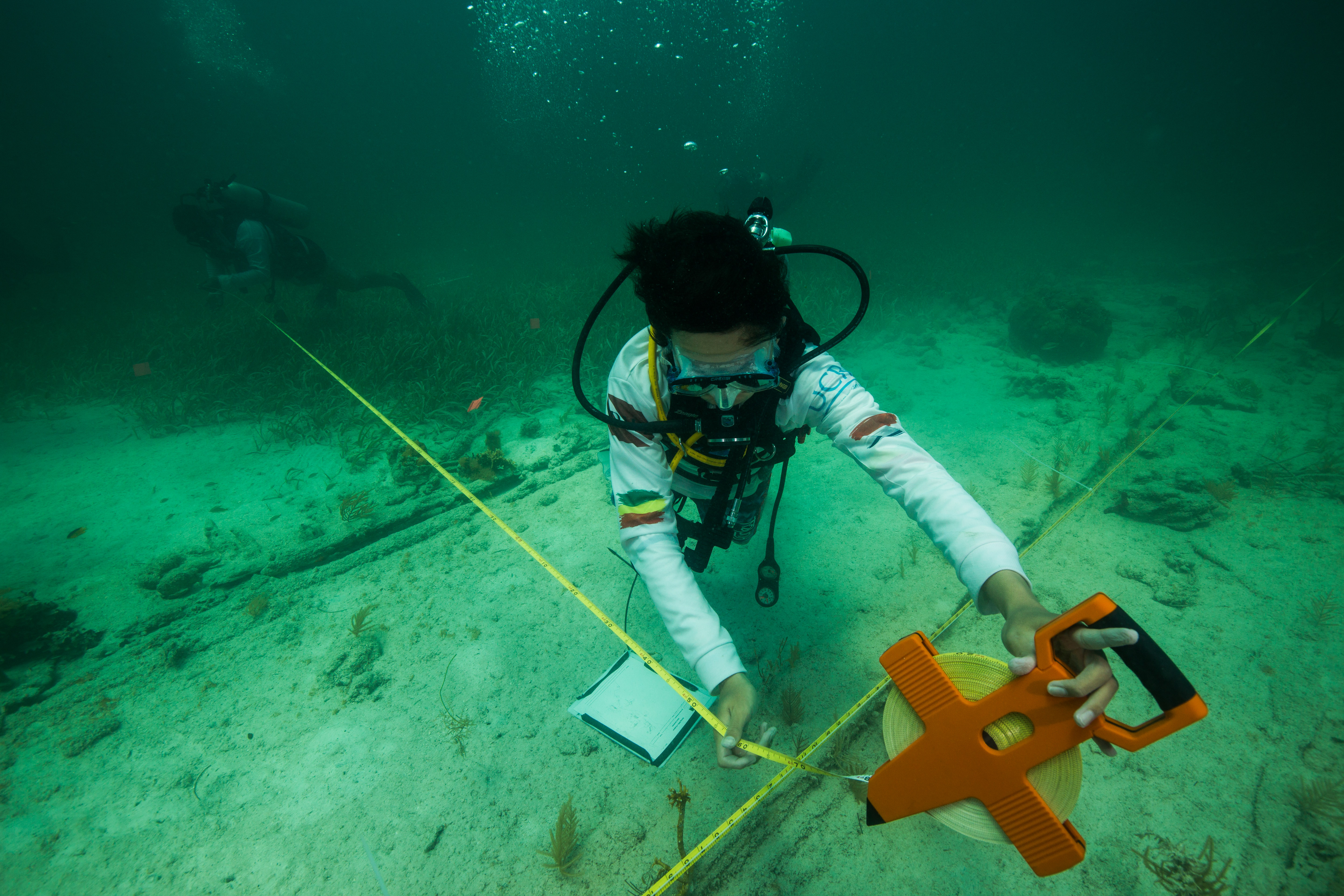
As minutes underwater is much more precious than those on land, the YDWP instructors took their time in ensuring that the students were very clear on the mapping procedure before they even stepped foot on a boat. In the muggy Florida heat outside the visitor center the students gathered to watch the instructors demonstrate mapping on a mock shipwreck – an assortment of objects laid on the grassy ground. This was a fun experience for me as, like these students, I had no real experience with mapping shipwrecks. I’d been able to observe the Submerged Resources team modeling quite a few with next-generation technology but had never really learned much about the old-fashioned way of doing it – with pencil and paper. Using measuring tapes and lots of patience, the instructors thoroughly explained the basics to the mapping to the students – including trilateration, how to take careful and accurate measurements, and the importance of not disturbing the baseline. The baseline, a transect tape that is reeled out through the middle of the site, is what all measurements are made in reference to. If it gets uprooted or moved before the in-water mapping is finished, all progress could be lost.

Early the next day, I met up with the NPS team to head out to our site. We were going to arrive a little earlier than the YDWP folks, who were departing with a dive charter out of Key Largo, to set up the marker buoys and the baseline. Arriving at the wreck site, the water was wildly calm – not a ripple to be seen. Josh and David geared up and hopped in to set up the lines while Sydney and I swam around to get a quick look at the site before the group arrived. The serene calm on the surface of the water extended to the dive site, as water motion was negligible. Perfect conditions for the first day.

One of the last times I’d see the wreck without anyone on it

Soon after we’d gotten in, the YDWP team arrived and it was time to get to work. I wanted to have the maximum amount of time possible to photograph them, so I went down as soon as the first people started dropping in. Now, before starting the dive I was a bit hesitant as to how my shots would all turn out, but I had clear ideas of what type of photos to produce and was confident in my ability to procure them. I’d had a lot of practice photographing people doing somewhat similar work in earlier parks so I figured this wouldn’t be too different – but boy was I wrong. I hadn’t accounted for the sheer amount of people on such a compact site – there were four different teams of 4 students, each team with an instructor leading them. This wreck wasn’t huge either, at one side it compacted into what was roughly a 10X4m area (and this is with 10 divers working in it). To make things worse, divers were now fighting a slight current which had just picked up, forcing everyone to maintain a slow kick into it.

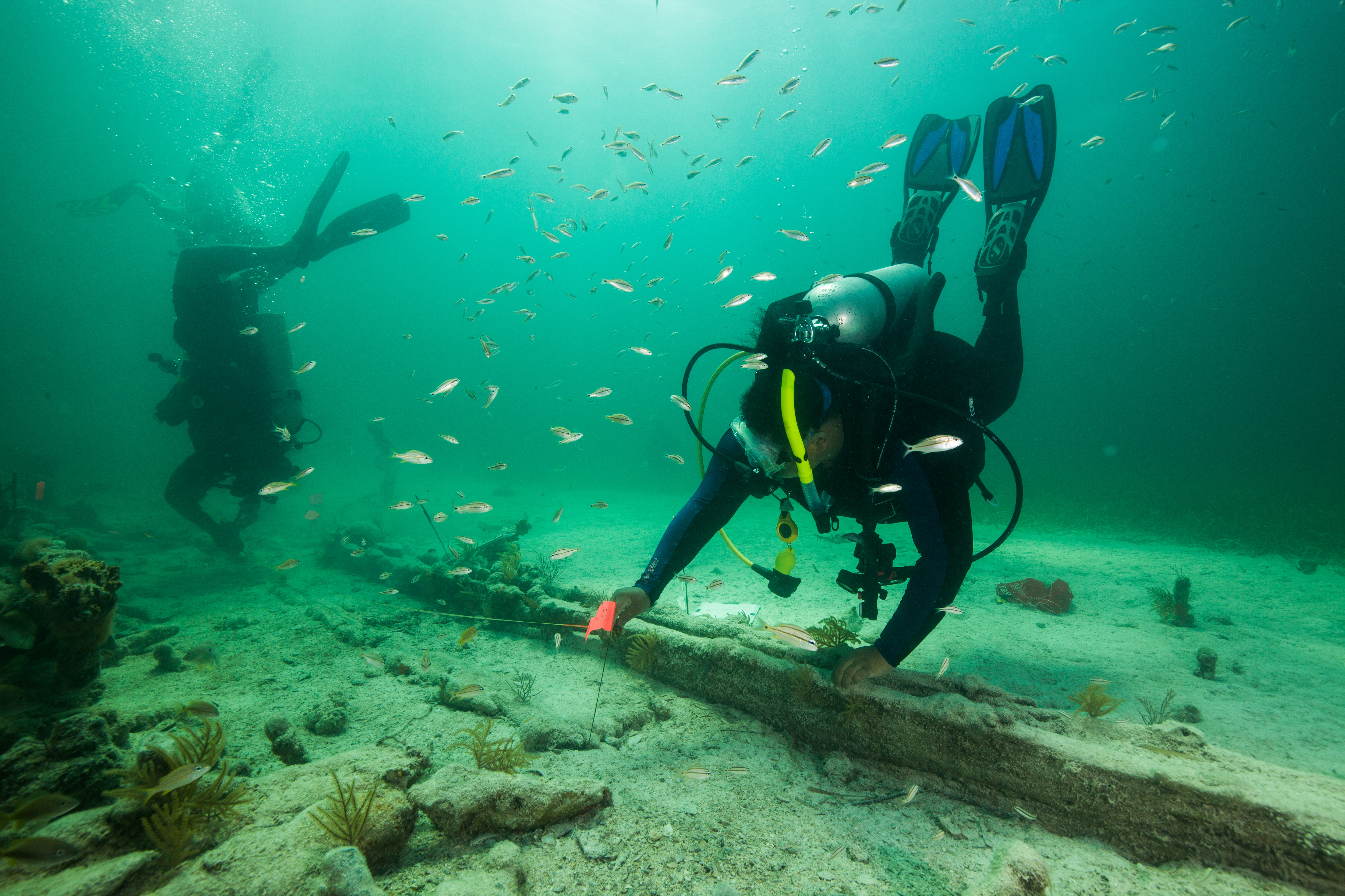
That’s a lot of divers – in some parts of the site, divers had to work in very close quarters to get their measurements done

These crowds meant one important thing to me, something that I hadn’t foreseen. With so many people on the site, it was difficult for me to produce clean shots without distracting background action. It seemed like every time I spotted a team doing some work that would display nicely and moved into position, someone else would drift into the background of my composition or a rouge fin would appear from outside the frame. Wanting to create distinct images without parts of people cutting in or out of frame, I ended my first dive disappointed. I felt as though I had largely failed on my mission and had to re-plan my approach to get less busy images. Thankfully the group was doing at least 4 dives on the wreck, so I had a couple more chances.

Some images (like this one) turned out nicely but still had a few more people in the background than I’d have liked

The next dive went slightly better, although there was also some added difficulty. I had received a request by the YDWP instructors to get portraits of each student underwater, so added this concept to the back of my mind while trying to get clean magazine shots. Trying to isolate single students out of the masses was difficult in itself, but I also ran into another problem that I didn’t really think I’d ever have: no one would look at the camera. Typically, when shooting people underwater I don’t really want that, I’d prefer to have the people as an accessory in the shot for scale or added impact and to have them look towards the subject – but for portraits it’s a different game. I did admire the student’s steadfast dedication to the task – despite my shoving a camera in their face and praying that they’d look at it (even for just a second), no one caved. I ended the first day of diving feeling unsuccessful – I hadn’t managed to produce many clean working shots and had only gotten nice portraits of one or two of the students. I knew I had to approach things differently for our upcoming dives.

Students were so absorbed in their mapping that they paid no attention to the photographer snapping away photos right in front of them

Overnight, I had pondered plans for ways to isolate my subjects and get clean shots. I had thought up ingenious ways to briefly distract the students to take their portraits, and clever methods of capturing backgrounds free of rogue divers. As it turned out, I really didn’t need any of these. This day I was to ride out of Key Largo with the YDWP team and took that opportunity to ask a couple of the instructors if they’d mind assisting me with the portraits a bit and running their students by me at the start of their dive. I’d planned to be waiting right beneath the boat and the teams could drop down, stop by my marine portrait station, and then be on their way. As always, this proved to be much simpler in theory (I ran into issues with teams jumping in at the same time, forgetting to stop by, or just getting in each other’s photos) but was much easier than yesterday’s approach. With some light hounding on some of the instructors, I managed to get everyone to bring their students past me for picture.


As for the magazine shots, things just seemed to work out in my favor that day. Students weren’t as tightly packed together on the wreck, people weren’t swimming around as frantically, and everything seemed more relaxed and calm. While still requiring careful compositions and an ever-vigilant eye to watch for roving divers, I had a much easier time getting good photos this day.


For such a seemingly small event, this year’s YDWP was getting a bunch of attention. There was obviously the article for SCUBA Diving magazine, which myself and a journalist were working on, but there were a couple other media outlets: AARP sent out a team to do an article on Ken Stewart, the founder of YDWP, and Washington Post was there doing video piece as well. On top of that, the program attracted some high-ranking Park officials. Joe Lewellyn, Acting Superintendent of Biscayne, came out for a day on the water, as did Pedro Ramos, Superintendent of Everglades and Dry Tortugas. Florida Public Archaeology Network’s Rachel Kangas rejoined us for a dive too- everyone wanted to see this program in action. Pedro Ramos joined everyone on the YDWP boat and spoke many kind words encouraging the students to continue this work and stressing the importance of them striving to uncover this history. It was nice to see all the Park support for this impactful program, an excellent use of our public lands in an educational and outreach-oriented program.

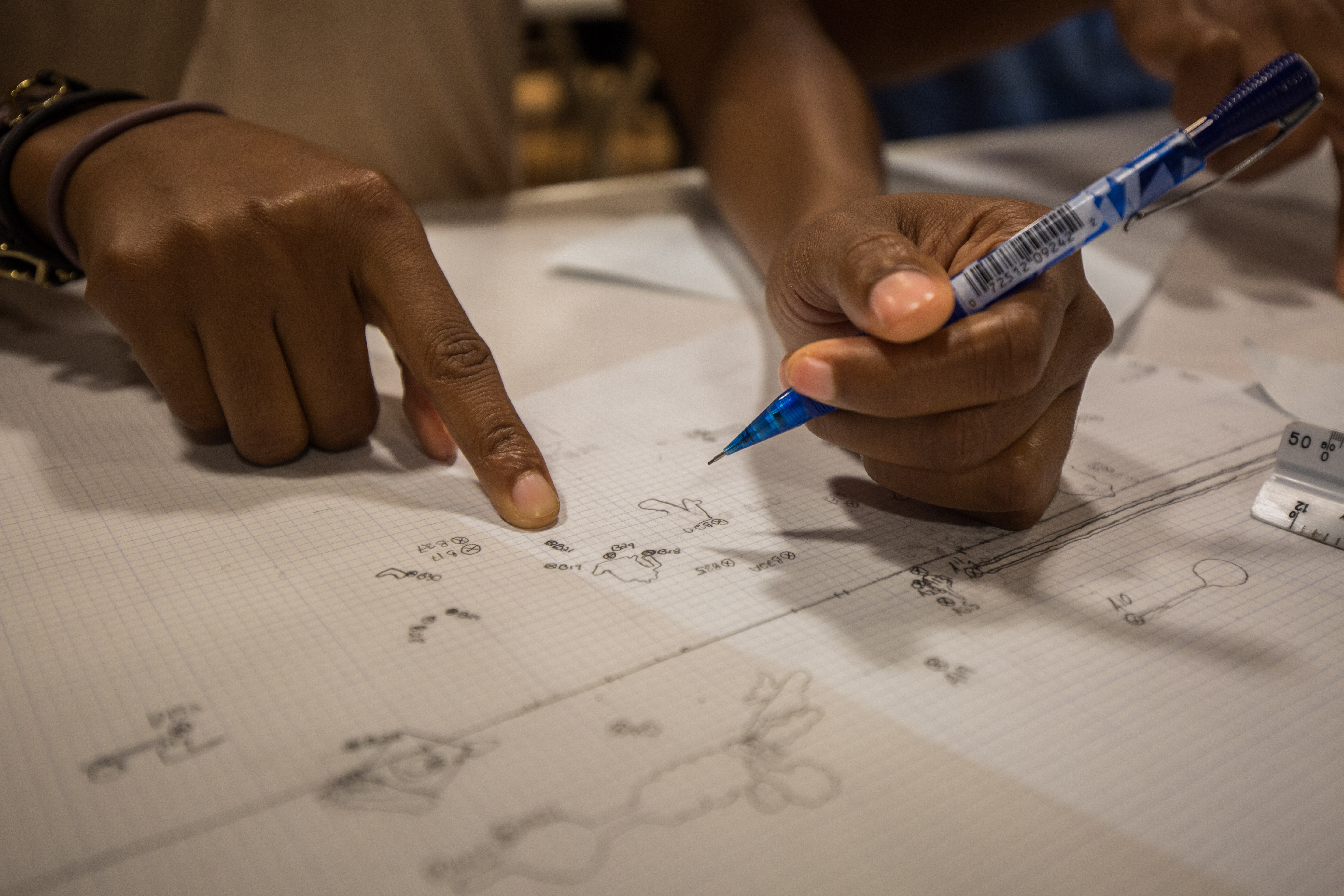
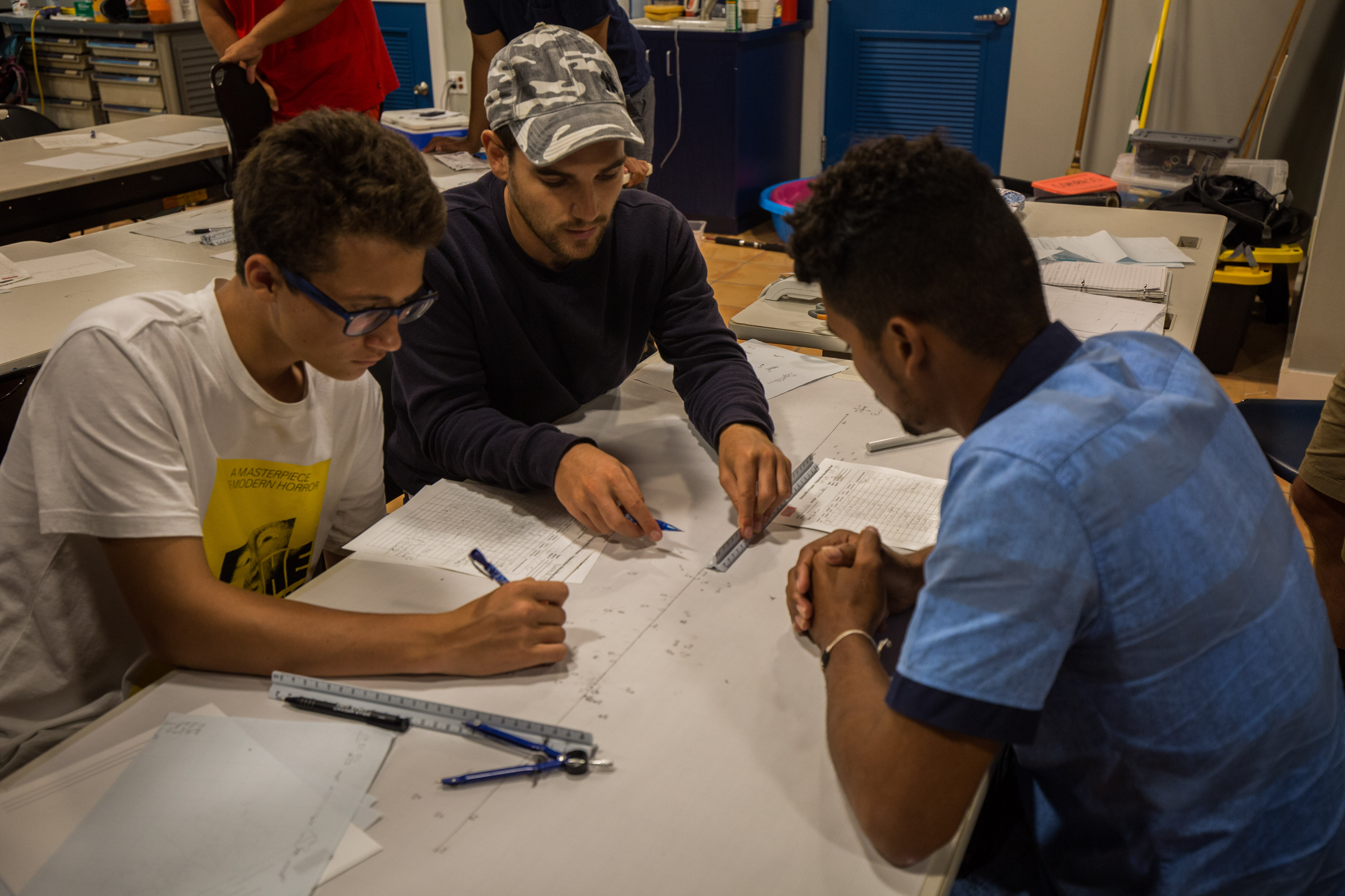
After the first two days of diving, it was time for our last day in the classroom – the mapping day. This was when the students would put their field illustrations and measurements to work, taking all of the info that they had gathered while underwater and transcribing them on land. First, they’d map out their portion to scale on a little personal map, and then once they’d finished add that section onto master map with the entire wreck on it. This was very cool for me to see, all the hard work that I’d observed happening underwater turning into a tangible product, and something that I’m sure was very satisfying for the students as well.

Students adding their portion to the final product

The mapping day was much like our first classroom day, with lots of hard work indoors sketching away, but this time everyone knew what they were doing. The students worked a hard, long day turning their field sketches into a polished result. Unfortunately, their work wasn’t done yet. As these things sometimes go, they needed just a few more measurements to get the map finished. Thankfully, a day was left open just for this possibility. Friday, our last day in the program, was left open for any potential re-measurements so we went back out.

Students hard at work on the final product

Only needing a few measurements, Friday wasn’t too hard of a working day. We still did two dives, but they were both very relaxed. Most everyone was taking measurements on the first dive, collecting the last little bits of data that they needed for the map. After a nice long surface interval, where the YDWP team experimented with an ROV to compare their map with one generated from ROV-collected photos (a new approach that the group is testing out), we went back in for one final time. With almost all the necessary data collected at this point, this was more of a clean-up and fun dive. Seeing everyone swim around and just enjoy absorbing all the maritime history was nice, and a good way to polish off the trip. At this point I had gotten pretty much all the shots I’d wanted for my magazine assignment, so I worked with the journalist from Washington Post to capture some video clips for her story – another fun venture into the world of media for me.

Getting those final measurements

After Friday’s final dive, the team finished up the week with a victory barbeque. Gathering up to celebrate the hard work and accomplishments with good food and drinks was a lovely way to cap off the project. Just before this, I was able to polish up all the portraits I’d shot and deliver them to the YDWP instructors, which was also a nice experience. Everyone was very kind in thanking me for joining them. While I joined the group for a photographic assignment, by the end of the week I felt like I was more than just their photographer. The instructors and students were very welcoming to me, despite not knowing me, and were open and accepting to me joining their program and photographing their every moment. As someone who hasn’t done many assignments like this, I was a little hesitant at first to get so up close and personal with the team – at first, I felt like an outside viewer, invading personal space for the shots. Working with this group that feeling quickly melted away and I felt at ease and appreciated – I couldn’t have asked for a better program to work with, and I was sad to see it end.

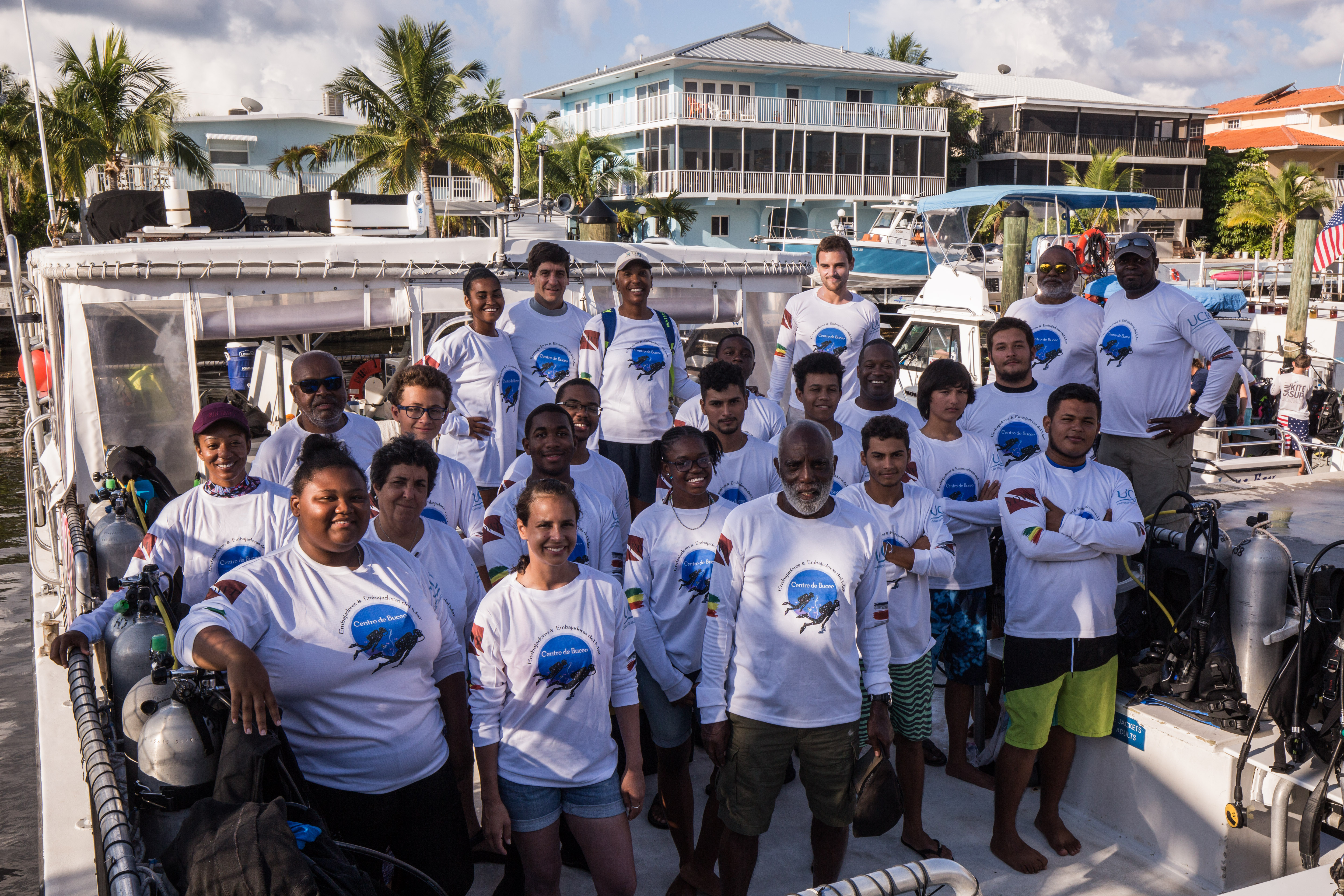
The 2019 YDWP Team

With this program wrapping up, my time in South Florida was coming to an end. Before heading out, I made sure to make time for what is becoming an Our World Underwater intern tradition – an annual meet-up between the NPS intern and the REEF during their times in South Florida. Ben Farmer, this year’s REEF intern, was kind enough to invite me to join him and some of his fellow REEF coworkers to dive at West Palm Beach’s blue heron bridge, a popular dive spot a bit north of Miami. I was able to join him two weekends in a row for spectacular dives full of interesting marine life, where we saw cool creatures like frogfish, flying gurnards, and pike blennies. I had a great time meeting up with and diving with Ben, an excellent diver, who is going on to an exciting year of working in the Turks and Caicos after his internship. It’s a pleasure seeing what exciting futures other members of the Our World family are going on to pursue.

Ben Farmer and I on our Blue Heron Bridge dive


After Biscayne I left South Florida, checked out of my motel home, and headed to the airport. From there, I returned to the Caribbean for the second part of my Virgin Islands adventure: the next round of the National Coral Reef Monitoring Program, this time on St. John.

Share


For the last two weeks of my internship, I shed the title of “scientific diver in training” and became an AAUS Scientific Diver thanks to Diana Steller, Shelby Penn, and my fellow classmates. The first week consisted of lectures on different topics including equipment, cylinders & regulators, species identification, dive emergency & rescue, diving physics, and diving physiology. After expanding our minds in the classroom, we enhanced our skills in the water. We had our checkout dives at Breakwater Cove (where I had my first cold water dive at the beginning of the internship). Then at Hopkins Marine Station, we had our first practice on Reef Check surveys.

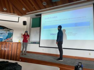
Left image- Diana Steller demonstrating how to conduct fish transects with a 2-meter reference, Eliseo Nevarez 

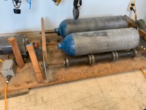
Right image- Tumbling tanks that has red rust on the inside. Thanks to Shelby Penn for showing me how to tumble tanks!

Reef Check helps ensure the long-term sustainability and health of rocky reefs and kelp forests along the coast of California. They monitor rocky reefs inside and outside of California’s marine protected areas. Reef Check also provides scientific data (which is collected by dedicated volunteers) needed to make knowledgeable decisions for the sustainable management and conservation. Reef Check California volunteers are divers, fishermen, kayakers, surfers, and boaters! I am so happy that I had the chance to get involved with Reef Check this summer and for anyone living in California interested in diving and conservation, please volunteer! Check out their website to learn more.

We learned species identification of fish, abalone, crabs, sea stars, slugs/snails, sea cucumbers, urchins, kelp, and other algae. As a dive team, we conducted four different surveys: algae, fish, invertebrates, and uniform point contact (UPC) using 30 meter transect tapes. For algae, we counted individuals (only if they met certain length requirements) and recorded number of stipes for two species: Feather boa and Giant kelp in an area of 2 m across the transect. We also had to keep an eye out for algae species that are invasive including Caulerpa sp., Undaria sp., Sargassum muticum, and Sargassum horneri. For invertebrates, we counted individuals (of certain lengths) and recorded sizes of abalone. For fish, our instructors and trained volunteers counted and sized the fish that they observe in an area 2 m across the transect tape and 2 m off the bottom (30 m x 2 m x 2 m). The goal of UPC is to characterize the habitat so this survey combined cover, substrate, and relief at 30 points along the transect.

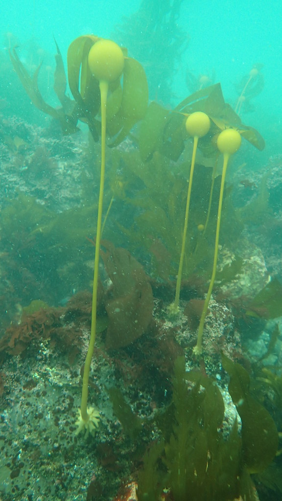
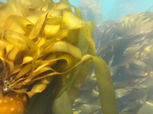
Left image- Bull kelp with other algae on a rocky reef.

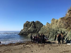
Top image- All of the students moving the zodiac into the water for our deep dive.

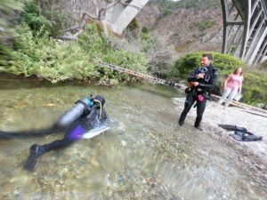
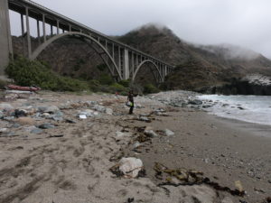
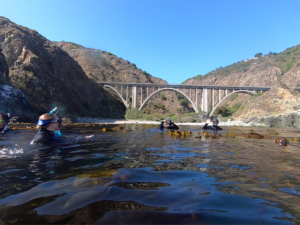
During the second week of the diving course, we camped and practiced more Reef Check surveys at Big Creek State Marine Reserve in Big Sur, California. Big Creek is a 14.51 square mile MPA that was established September 2007. This dive site is the perfect place to obtain our AAUS certification. There was an easy beach entry, a freshwater stream nearby to rinse off our equipment, grassy area for our belongings, and super thick kelp to explore in.

Top image- Students happily rinsing off in the stream after a long dive. 

Left image- View of the beach, bridge, and the mist during a break in between dives.

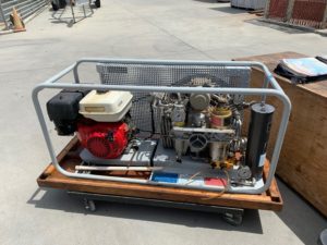
Right image- Our lovely compressor that we used to fill tanks while camping. 

Our normal day included waking up at the camp site, preparing lunch, walking to the beach, practicing as many surveys and we could on 2 dives, rinsing off in the stream, then continuing with lectures and/or exams. On our last survey day, Dan Abbott from Reef Check came to test us on our species identification skills. We then divided into 3 teams with each diver in charge of one specific survey. Each team had two transect sites to finish and luckily, we all finished them on the last day!

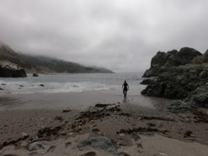
Top- (Left) Beautiful view of our dive entry site and our guardian, a seagull. (Right) Normal view of our swim to the temporary transects. 

Bottom- (Left) Our first snorkel/kelp crawl at Big Creek (Right) More beautiful kelp. 

I couldn’t have wished for a better way to end the AAUS/OWUSS internship. This small group of people (there were only 7 students in our class) have become lifelong friends and dive buddies. From spending time every day with each other for two weeks, we all became very close and helped build one another’s skills and experience. Through difficult and hard times, we supported each other well and lifted each other’s spirits when they were low. Scuba diving is an activity where you trust your dive buddy with your life. This allowed us to build strong relationships and work together perfectly. We trusted each other to finish surveys as a team and most importantly, dive safe. We studied hard to remember the species we needed to know to conduct surveys and we quizzed each other until we all felt comfortable and confident.

Left- Group photo of our wonderful AAUS class + Dan Abbott from Reef Check.

Middle- Fellow student, Lauren Strope, loving the kelp, water, and sun.

Right- Some locals welcoming us back to Moss Landing the day we returned. 

Deepest thanks to Diana Steller, without her there is no way I would’ve obtained four diving certifications, completed Reef Check training, helped on multiple research projects in California and Mexico, and had the time of my life this summer. I’ve learned many lessons about marine science, diving, and life from Diana. Thank you to the people from Moss Landing Marine Labs, San Diego State University, and those who participated in the AAUS Scientific Diving Course for the adventures, shared laughter, and teaching me how to be a better diver, researcher, and person. I can’t wait to see the success of future OWUSS/AAUS interns and to follow in the footsteps of past researchers and scientists. Although this is my final chapter as the OWUSS and AAUS intern, I am looking forward to dive deeper into marine science in the future.

A team (Chase McCoy, Shelby Penn, myself, Diana Steller, Mariana Kneppers) after our last dive at Big Creek.


Share

New Shores – REEF [4]

Bayside view from Sundowner’s, Key Largo. Taken while my parents were visiting near the end of my internship

Eleven weeks – it is strange to think how short my internship with REEF this summer truly was. I knew before arriving how fast the summer would go by, but the ephemeral nature of seasonal positions is always a little surprising. Before I reflect on my time in Key Largo, however, I would like to go back to this past April, when my experience with OWUSS really began.

I was just finishing up my senior year at the University of Kentucky, and I was juggling a lot of activities. The deadline for my senior thesis and poster presentation was coming up, and finals loomed just ahead. I was more than happy to take a break from finals and paper-writing the second weekend of April to travel up to New York City, a stark departure from the rolling hills of central Kentucky. This was to be an exciting weekend for several reasons – I had never been to the Big Apple, and I was about to be inducted as a member of both the Explorer’s Club and the Our World Underwater Scholarship Society. On top of this, I was about to meet back up with my friend Liza Hasan, who had recently accepted this years’ AAUS Mitchell Internship. Liza and I became good friends back in 2017 when we both studied abroad in Bonaire, at a research station focusing on tropical marine ecology. We were overjoyed when we found out we had both received internships from OWUSS, knowing how rare and unique of an opportunity this was for each of us. We would also have the chance to see our friend Shannon Brown again (who was the 2018 NPS intern), who was an intern at the Bonaire research station when we were students!

After a redeye flight out of Lexington to Newark, I took in the sights of the big city as I arrived via the bus system. New York was something else – unbelievably tall and expansive, home to countless people accomplishing a million different tasks. This past spring, I visited many big cities for the first time, from New Orleans to Atlanta to San Francisco, but nothing compared to this. The awe I felt simply rolling my luggage down the streets of Midtown Manhattan added to the feeling that I was stepping into an entirely new world with this internship.

The 2019 interns! Photographed at the New York Yacht Club. From Left: Myself, Liza Hasan (AAUS Mitchell), Kyra Jean Cipolla (AAUS Somers), Michael Langhans (NPS), Abbey Dias (DAN)

The weekend would prove to be a whirlwind, what with meeting all the other interns, to official inductions at the top floor of the Radisson, to a night of dancing at 48 Lounge. We made a wild realization that four out of the five 2019 interns had all had Dr. Franziska Elmer as our research mentor at one point (including me and Liza). And this was all the first night! It turned out that Kyra and Abbey had both completed research projects under Dr. Elmer while studying abroad at the School for Field Studies in Turks & Caicos recently, while Liza, Shannon, and I all knew her through the Bonaire program. All of these seemingly random connections painted a beautiful picture of how the OWUSS community functions – it is there, in part, to get qualified young people in touch with the people they need to, in order to forge a path forward in the underwater world. This would become apparent the next day, when we had several socials and formal events at the Explorers Club and New York Yacht Club, respectively. Everyone in the society was incredibly excited to meet us and hear about our ambitions and university studies, as well as introduce us to past OWUSS interns and scholars. Hearing the presentations of each prior intern/scholar and how they were all going on to do amazing things in their fields directly after their experiences was inspiring. Not only that, but it was a challenge to do great things and build upon my own experience with REEF.

Pastel illustration at the Explorers Club

Roosevelt Portrait in the Explorers Club

It was with that challenge that I returned to Kentucky to finish out my undergraduate career and then move on to the Florida Keys. But I had one surprise yet in store – just before leaving for New York, I had sent in an application to work as a Waterfront Assistant at the same field station that Dr. Elmer worked at in Turks & Caicos. Just before finals week hit in late April, I received an email saying I had been offered the job! I was both overjoyed and immediately stress-planning about how this would all work. Coming on as a Waterfront Assistant was contingent upon me completing my Divemaster (DM) certification over the summer, since I would start in Turks & Caicos in late August. Thankfully, REEF would end up being incredibly accommodating and allow me to complete my DM throughout the summer (read more here).

And that brings us back to the present. In the time since my last blog post, my time with REEF mostly consisted of wrapping up my personal project and working as a camp counselor once again. These coincidentally were my favorite aspects of being a REEF intern! The flexibility to pursue one’s own project at the REEF office (while not assisting with office work, lionfish derbies, Fish & Friends seminars, etc.) was exciting, especially because of the support offered by the staff. Two of the remote staff, Janna Nichols and Christy Pattengill-Semmens, were instrumental in helping me put together a Quizlet program, as part of the Learning Resources for the Volunteer Fish Survey Project. David gave me the idea early on to produce PowerPoint slides to help surveyors learn all the Beginner, Intermediate, and Advanced fish species of the Tropical Western Atlantic (TWA). I ended up using Quizlet instead, and developed lists of all the relevant species for each tier of difficulty, and then matching up photos with the common and species names of each species. Part of what was so exciting about this was that in the process I became much better at identifying TWA fish myself. What made this really rewarding, though, was the knowledge that my work would reach a wide, potentially international audience through the REEF website. Christy and Janna helped me get my Quizlets integrated directly into the website (see here). Not only that, but now REEF staff and volunteers are putting together Quizlets for every other region, making it truly accessible for anybody that wants to learn fish ID of a region anywhere in the world. One of my main goals going into the summer was to make the science that we do in the marine world more accessible, and I could not have been more satisfied with how this turned out.

It was (almost) always a joy working with the kids at Ocean Explorers Camp. Can’t beat a re-creation of the Titanic

As my personal project winded down, my last week at REEF ended up being as a camp counselor again. I never expected to love working with the kids as much as I did, but couldn’t have been happier having another go at Ocean Explorers Camp. This time I went in with a bit of experience under my belt, and made a commitment to do things a bit differently. I made a concerted effort to spend more time getting to know each camper, instead of just a few (as fun as getting chased around by Dakota the first week was!), and in doing so I feel that I connected with the kids pretty well. It was incredible seeing how quickly they could absorb knowledge about the ecology of the Florida Keys, and it gave me a chance to improve my interpretation skills. I have learned that kids in the 8-12 age range are perfectly equipped to learn a ton of information in a short amount of time, but only if you manage to keep their attention for more than a few minutes! A big part of that was figuring out how much each kid already knew about fish, corals, etc., and then not underestimating their knowledge, but instead building on what they already know and were interested in. I was surprised at how quickly I got back in the flow of being a counselor that week, and honestly I could see myself working in some marine education for children again in the future, whether through a job or as a volunteering effort. None of the kids gave me any adorable collages this time around, but I still felt a connection with them and won’t soon forget their unabashed excitement for the underwater world.

Natalie had her turn as the captain! Taken while out on John Pennekamp Coral Reef State Park’s glass bottom boat.

With that final week at REEF completed, my internship now consisted of intensive Divemaster training through the first week of August. I had finished the bulk of my training requirements throughout the summer, on days off and over the weekends, however there were still my final written exams. With some feverish last-minute studying and review of decompression theory, I passed both sections of the written exam! Now it was time to get more time out on the boat and actually leading dives. I had already led a couple dives, covered in my third blog, but it was important to see what it was like leading dives for tourists/locals of various experience levels from morning to close, and then coming right back the next day and doing it all over again. That is how I learned to deal with the random challenges that popped up day-to-day, such as what to do when someone’s gear from the prior day got left at home, or how to lead a dive for a customer who lost their certification cards. On top of that, I was very happy to get the extra experience leading dives/working the boat, since that is what I will be doing for students in Turks & Caicos for the next year. Key Dives was the perfect shop to learn from this summer, largely because it was such a small shop with a tight-knit staff. They all expected the very best of me and pushed me to learn from my mistakes after every dive, even the small ones. If I momentarily lost where the mooring line was and had to ask for a direction, you can bet I was given some constructive criticism about it back on the surface. I had to learn quickly, and ultimately it all paid off. By the end of my DM training, I was very comfortable leading dives, pointing out rare fauna unique to certain sites. I was lucky enough to spot more than ten bonnethead sharks on a dive over a seagrass-heavy area on my very last trip with Key Dives, and the group I was leading was loving it.

Cutting through the crystal blue waters of Islamorada on the Key Dives boat, the horizon is endless


Bud n’ Mary’s Marina, where the Key Dives boat departed every day

The Key DIves shop!

With that last day at Key Dives, my internship officially concluded. However, I will soon be taking everything I learned to new shores in Turks & Caicos. I can’t say enough how thankful I am to everyone at REEF for helping make this summer incredibly memorable, as well as vital for my professional development. With newfound experience in everything from K-12 outreach to dive briefing, I am equipped to move forward in the field of marine science as a much improved educator. My time at REEF may be over, but I cannot wait to see the great things that future REEF/OWUSS interns go on to do next year!

The marina behind the Square Grouper restaurant, in Islamorada

Share

Dry Tortugas National Park – Monitoring Coral Reefs around the Largest Masonry Structure in the Americas

Dry Tortugas National Park

Before this summer, I never imagined that I would be waking up on a ship heading to a 19th century fort in a remote island paradise. A couple weeks ago, that was my reality when I traveled with the South Florida Caribbean Network to Dry Tortugas National Park for 10 days of coral reef monitoring.  Located 70 miles west of Key West, FL, Dry Tortugas National Park (DRTO) is an 100 square mile park that mostly open ocean, consisting of less than 1% land. On one of its few islands lies the Fort Jefferson, the largest masonry structure in the western hemisphere (composed of more than 16 million bricks!). Initially designed as a defensive outpost to gain control of important waterways in the area (Gulf of Mexico, Straits of Florida), work on the fort faltered during the American Civil War. It was then repurposed into a military prison, where it held unlucky prisoners in a hot, brick oven of a fort (famous prisoners include four charged crimes associated with the assassination of President Lincoln), and then later served as a coaling station for coal-fueled U.S. ships.

Inside Fort Jefferson

Along with a storied land-based history, DRTO is also peppered with maritime history. Located in the center of a maritime highway and surrounded by large fringe reefs, barely submerged shoals, shifting tides and strong currents, the ocean surrounding the fort is a navigational nightmare for early sailors. Due to these treacherous conditions, the waters surrounding the fort are home to hundreds of shipwrecks, the most submerged resources of any park unit. However, we weren’t here for the  archaeological sites that exist within the park boundaries. We were here for the coral reefs.

Dry Tortugas is home to some spectacular coral reefs

The South Florida and Caribbean Network (SFCN) is part of the Parks Service’s Inventory and Monitoring network – part of the NPS that is in charge of gathering and analyzing information on the natural resources that exist in park boundaries. SFCN covers the marine side of the South Florida and Caribbean parks, an area in which one of the most biologically critical natural resources is the coral reef. DRTO is home to some of the finest reefs in Florida, unlike ones anywhere else in the Keys. Far from any cities or towns, these reefs have been relatively free from degradation by human influences and are in much better shape than many of their near-shore cousins. The reefs here also consist of a reef terrace habitat: a uniquely flat and uniform plate-like floor of corals, caused by lower-light conditions at deeper depths, creating a huge flat plateau of coral growth up to five feet off the sea floor.

Centuries worth of old coral skeletons lie underneath the exposed surface area

To top things off, these reefs make for ideal fish habitat with their high level of structural complexity hidden in the 5 feet of coral-made structure under their biological roof. The DRTO reefs make up some crucial spawning grounds for certain species of reef fish, due to a mix of ideal habitat and currents and retention gyres working to keep fish around. Furthermore, these reef’s larval supply gets caught up in currents and sent towards South Florida, working to replenish their more heavily impacted reefs. This oceanic linkage was discovered earlier and then protected in 2001, creating a positive response from overfishing after the fact – a conservation success story.


All these conditions make the reefs at Dry Tortugas a pretty special spot- a haven for threatened corals and overharvested reef fish, where they have a slight break from the onslaught of perils sent their way. However, they aren’t safe from everything. Like most of the rest of South Florida and Caribbean reefs, coral disease has made an appearance in DRTO. First noticed on their reefs by NPS researchers in 2008, coral disease (primarily chronic white plague out on these reefs) has had variable prevalence but is becoming more persistent – 2016 and 2018 were especially bad years. In the past 5 years, the SFCN team has noticed around an average of 30% disease-related coral loss at their monitoring sites – especially bad news when coral cover has been on a steady decline since 1979. The disease kills off corals and then sloughs off their tissue, leaving a freshly exposed white skeleton. This quickly gets overgrown by turf algae, which then inhibits growth by new corals.

Close-up on diseased coral – the stark white skeleton is freshly deceased, while the brown turf algae encroaching from the corner dictates less recent mortality

The SFCN team works to monitor and report on the state of these reefs to see how they react in response to events like disease outbreaks and bleaching. They’ve been surveying these reefs since before disease reached the Dry Tortugas, making their surveys crucial resources for understanding how these plagues start and spread. I was lucky enough to tag along to see how it all worked.

The M/V Fort Jefferson from in the water

During our time out at DRTO, we stayed on the Motor Vessel Fort Jefferson, the 110-ft vessel serving as a transport boat, research vessel, dive support, as well as any other needs the park may have. While staying on a boat may seem like meager lodging, the M/V Fort Jefferson was far from it. Decked out with a full kitchen, bathrooms, bunks and living area, this was a veritable floating hotel – the only thing it was missing was Wi-Fi. I was here with four marine biologists and ecologists of the SFCN team: Mike Feeley, Rob Waara, Jeff Miller, and Lee Richter, as well as two of their research interns: Steph Topal and Morgan Wagner from University of Miami. Also on board was the Ft. Jefferson’s incredible crew: Captain Tim, Mikey Kent, and Brian Lariviere.

Upon arrival at the Fort, we immediately went to work. With a full trip of benthic monitoring and temperature logger collecting ahead of us, there was no time to waste. Shortly after the arrival of our floating hotel to Garden Key, home of the Fort Jefferson (the brick one, not the vessel), we gathered up our dive gear and headed out on the 27-foot SFCN vessel, the Twin Vee. The first day’s work was easy enough – go to the first benthic monitoring site and set a mooring for our work for the rest of the week, as well as to conduct a quick shakeout dive to reacquaint everyone with their gear and the ocean. The first monitoring site is at a spot called Bird Key – a highly rugose reef that was one of SFCN’s initial survey spots in the area, as well as the first spot that disease was a serious issue. Not much disease persists here anymore, but its impacts are still obvious: coral cover has dropped in response to around 8-12%, potentially only leaving the few resistant ones remaining.  During our shakeout we had a brief chance to explore – the reef was peppered with small canyons reaching down to the sand, one with a small swim-through, making for fun diving. I was excited to spend the next couple days here, exploring more of what the site had to offer.

On our return to Garden Key, I had a chance to check out something that I’d been thinking about ever since reading the blogs of past OWUSS NPS interns. Living underneath the M/V Fort Jefferson and the docks it moors up to are at least three goliath groupers, groups of tarpon, and tons of baitfish. I was eager to go spend some time amongst the fishy masses so pretty much as soon as we returned from our dive I grabbed my camera and jumped in. The density of biological life in such a small location was really thrilling – I’d dive through a thick cloud of fish to reach clearings with slowly patrolling tarpon, pretending to be ever uninterested in their tasty prey that swirls around them constantly, and then swim a little deeper to be met with the gigantic face of a 500 lb goliath grouper (or two, if you’re lucky). Having this much action right underneath your housing was pretty unbelievably convenient, so I stayed in the mix until the sun set and I didn’t have enough light to see in the dim underbelly of the docks. Ending my first day at DRTO swimming with hundreds of fish had me thinking it couldn’t get any better, but I sure was wrong.


The next day we started work in earnest: benthic reef monitoring at the Bird Key sites. This monitoring requires two teams. The first one, the recon team, is in charge of finding preset pins (big 1-foot metal spikes) nailed into the reef and running a transect tape between the two for the second team, the survey team, to survey. This recon team sounds like it has a pretty easy task, and it would be if it weren’t for the tenacity of life underwater. In a marine environment, things grow fast and they grow wherever they can. This makes locating metal pins rather difficult, as they quickly get overgrown with algae, sponges, hydroids and tunicates which make them seem to melt into the surrounding reef. To complicate things even further, the structure and life of the surrounding reef changes as well, which can work to obscure any obvious landmarks used to locate the pins in previous years. At the Bird Key site the transect locations are not particularly close to each other – to find one, you must start at the previous one, then follow a certain compass bearing for a set distance. At this point you have to start searching for an almost certainly overgrown metal pin that can be sticking out anywhere from 10 cm to 1ft out of the reef. The SFCN team has laminated maps of sorts – with compass bearings and distances listed from one transects to another, as well as with pictures of obvious landmarks to use when locating points – but that only helps so much. A careful eye is a necessity in this type of work. And of course, when one pin is found, the work isn’t over yet. Then you have to begin the whole process over again to find the second pin to end the transect itself. Sometimes, setup can be a lot of work.

While the setup team was hard at work searching for pins in a reef, the benthic monitoring team was following in their footsteps collecting data. With a team of three collecting data on coral disease, benthic composition, and coral health, they made quick work of a transect. To make things even more efficient, the team collects their data using iPads in underwater housings, which not only makes for easy data taking with the ability to easily integrate photos of disease but also allows for quick data entry – as all you have to do at that point is upload the info. While I spent most of my time at Bird Key with the setup team, I was able to join the monitoring team for a couple of dives and watch them at work. Watching them tear through a transect like it was nothing was pretty impressive.

Mike Feeley and Lee Richter making quick work of the transect

With a team this efficient, we made quick work of the Bird Key sites, finishing up in two days. Despite lower vis than other sites, Bird Key was a fun spot to dive. Lots of cool structure, one of the biggest coral colonies I’ve ever seen, and a huge and friendly resident goliath grouper that became accustomed to hanging out under our boat made for some pretty nice dives.

The next couple of days we started working at a new reef, one named Santa’s Village (after the elf hat-shaped coral heads peppered around the site). Here, I worked with the setup team to find the pins and run transects as the monitoring team was diving on closed circuit rebreathers. These sites were much easier to setup than Bird Key, as instead of following a treasure map of transects we just had to find a center pin and then locate transects that were just 10m in cardinal directions from there. That made for a much easier setup, which gave us ample time to explore these sites. Beautiful reefs with pretty spectacular coral cover for the area, it was fun spending time to look around.

Here, our setup team consisted of the three interns (myself, Steph, and Morgan) and Jeff Miller. Jeff, who has been diving on these reefs for many years now, was a valuable resource to have around as he knew these spots like the back of his hand – he could tell you how that coral head was looking last year, or what makes that particular colony so unique. In our post-setup exploratory swims I stuck around his side and tried to soak up some of the information he had to offer. As someone with no previous experience in this area I had lots of questions for him, and highly appreciated being able to get such detailed and site-specific answers. However, these answers weren’t always happy ones. A rather typical post-dive discussion between Jeff and Mike would often be a somber reflectance of what it once was. The sites were visually striking in the volume of life present to an outsider like me, but a sad reminder of a steady decline for those who visit them once or twice a year. With this in mind, I tried to work with Jeff on the majority of our dives to document specific cases of disease, coral recovery or loss, or particularly healthy colonies – a nice way to put my photographic abilities to work.
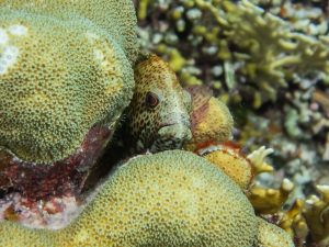
 

Returning to the M/V Fort Jefferson after a hard day at work

After a hard day at work monitoring, the team would offload gear from the SFCN’s Twin Vee to the M/V Ft. Jefferson, go through the prerequisite gear rinsing and decontaminating (due to the widespread coral disease in South Florida and the Caribbean, daily decontamination is becoming a pretty boilerplate process in most subtidal research operations) and start work on tank filling. This often left us a couple of hours free before time to begin dinner preparations – and what better to do than to get back in the water? Dry Tortugas was home to some pretty incredible snorkeling: the giant goliath groupers, baitfish and tarpon under the dock to the coral-encrusted fort walls themselves, to the patch reefs surrounding the islands. There was enough there to keep an underwater photographer busy for weeks. I took full advantage of all the free time I had, hopping back in the water with a mask, fins and camera almost every day of the trip.

Once we had polished up monitoring work at the Santa’s Village sites, we moved on to the final batch of baseline monitoring sites for the trip: ones at Loggerhead forest, a reef offshore of Loggerhead Key. These sites were set up in the same way as the ones at Santa’s Village with the easily located transect pins, which gave us lots more time to explore the sites and take them in. I found these sites at Loggerhead forest particularly beautiful, with some big and healthy-looking Orbicella and Colpophyllia colonies and lots of fish, but heard from the team that they’re now just a fraction of their former beauty. This illustrates the importance of baseline monitoring like this. Without knowing the past state, one could easily assume that the reefs are doing great with their high coral cover and fish density. When compared to previous years, the state of decline is more obviously clear.


As well as monitoring these sites, we worked on collecting and offloading temperature logger data. Over the years, the SFCN team has set out a large number of waterproof temperature loggers at various locations throughout the park to keep an eye on how things are changing. These loggers, which are located at all of the baseline monitoring sites as well as a collection of other select locations, must get their data offloaded occasionally to ensure they still have room to keep taking measurements. We did a good number of quick bounce dives (some required more searching for the logger than others) to offload data, which doubled as a great way to get a quick look at a wide variety of different sites.

Between all of the diving, snorkeling, photo processing, and sleeping that I was doing at this point in the trip, I really didn’t have too much time for much else. I was so preoccupied with that batch of activities (and they sure were nice ones to be preoccupied with) that it took me until about halfway through our time at DRTO to realize that some of the finest photographic opportunities this park has to offer occur after the sun goes down. Being located on an island that’s almost 70 miles away from the closest civilization makes for some pretty dark nights – which means that there’s some killer stargazing. Even more exciting to me was the discovery that the waters surrounding the fort are packed with bioluminescent organisms, creating an incredible glowing display when disturbed. These nighttime activities came to occupy my late evenings as I tried to capture all of their glory, keeping me busy each day after the sun went down.

After all of the monitoring had been finished and the temperature logger data had been collected, we only had one last thing on our to-do list: some photogrammetry. While I’m now no stranger to photogrammetry after my time with the SRC up in Isle Royale National Park, I’ve never been involved with it being put to use on biological resources. After some careful work, it allows for the creation of a highly accurate model, which can be used to examine reef health and condition. The setup for this process was a little more involved than that of the monitoring. The areas that were picked to be mapped were both off of baseline transects in Loggerhead Forest, so the initial location wasn’t too hard to find as it was based off of previous transect pins. From there, however, we had to determine the location of the four corners of the survey zone in reference to those initial transect pins, and then to describe the locations of those corners with a heading and distance from the center pins and mark them with a slate to help with the processing. Once all that setup work had commenced, we were free to depart and let the photogrammetry team move in and capture all the necessary data by carefully swimming grid patterns over the site while continuously taking video, being sure to cover every inch of the allocated area.

Accuracy is crucial for tasks like this – the slightest deviation from the correct location could throw off the whole model. Here, Morgan Wagner and Jeff Miller double check their maps

And with that, all of the work we had planned was done – but our trip wasn’t yet. With a little more free time, I made sure to go check out the Fort Jefferson itself. I had been so occupied with all of the incredible in-water photographic opportunities that I had been neglecting the land-based ones. I spent the good part of an afternoon exploring the fort (and boy does it get hot inside a giant brick building in the afternoon sun) and taking all the photos I could.


Our final day in DRTO was occupied with diving. The plan was to do two recon dives to Sherwood Forest, the spot where the unique reefs of Dry Tortugas were first described. Estimated to be over 9000 years old and one of the best nursery habitats in the United States due to the highly complex structure, this particular reef is an incredibly valuable resource and could certainly use quick visual survey. Our dives on the site were paired with some current, which gave us a look at a good amount of the reef – I’ve never seen such a huge aggregate reef before. It seemed to stretch forever, and was even more incredible when considering the layers upon layers of old growth that are hidden under the uppermost visible part of the reef. Like the rest of the reefs in the Tortugas, this one no longer lives up to its former glory, but according to the experts on board our SFCN team it’s faring better than many others and still a sight to behold.

After returning from those dives, a subset of the team (Rob, Lee, and the interns) went back out on the water for a couple more fun dives. The first of those was a site called the Maze, a wildly fun reef full of complex structures like small canyons, swim throughs and small cave-like pockets under coral heads. I dove with Lee and had an incredibly memorable dive exploring these secluded little structures. Afterwards we ended the day with a classic DRTO wreck dive at the Windjammer, the wreck of an iron-hulled sailing vessel that sunk in the park in 1907. Structurally intact, fishy, and covered in healthy coral, this made for a great dive and a lovely way to end out our trip.

Dry Tortugas National Park is a special place, and not one I’ll forget anytime soon. It has got so much going for it: a gigantic brick fort, island breeding grounds for hundreds of seabirds and turtles, beautiful seas and skies, killer snorkeling and diving, and a pretty phenomenal and biologically important reef system. All of these unique aspects packed into one Park and tucked away in the middle of the Gulf of Mexico make for a spot unlike any other, one of the coolest National Parks (and places) I’ve ever had the good fortune to visit. I’d like to extend a heavy gratitude to the SFCN team (Mike Feeley, Jeff Miller, Lee Richter, Rob Waara and their interns Steph Topal and Morgan Wagner) for having me along, making me feel welcome and allowing me to observe and partake in their work, as well as a big thanks to the crew of the M/V Fort Jefferson (Captain Tim, Mikey Kent and Brian Lariviere ) for taking great care of us during our time with them. I hope to be lucky enough to return some day, but for now I’m on to my next park of the internship: Biscayne National Park in South Florida.
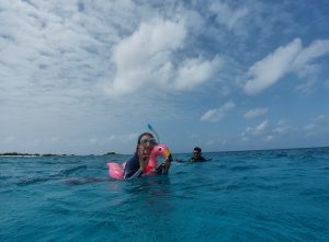
Goodbye Dry Tortugas, you will be missed

Share

Thank you, DAN!

My last few weeks here at DAN have been busy wrapping up projects, cramming in as much diving as possible, and saying tough goodbyes.

One of my final projects here was reviewing existing videos and identifying needed changes based on the revised course content from our earlier edits for global use. The next step was to create storyboards for filming updated videos for the Diving First Aid for Professional Divers (DFA Pro) course. Storyboarding is the art of creating an outline for a video or film using illustrations of main scenes and shots for the video.

I learned how to storyboard by researching how Walt Disney developed storyboarding for his films. Disney was the first to use the storyboarding practice, and it is still used today to plan films. Apparently, Disney said something along the lines of not needing to be a great artist to be a great storyboarder, only needing to be able to get a point across. While I enjoy art, I believe I have really embodied that saying in my storyboard work. They aren’t beautiful sketches, but it depicts how we want the films to look and highlights the important changes. This is beneficial in making the filming process more efficient and easier so the videographers and actors know how the scenes should play out. I won’t be around for the video shoot, but I look forward to seeing the changes posted in version 3.0 of DFA Pro in elearning.

My storyboard for relieving a foreign body airway obstruction (severe choking) on an adult.

This image shows the storyboard for the adult foreign body airway obstruction video. Based on the combination of first aid guidelines from various national first aid organizations, we needed to incorporate changes into the videos as well. The new version of DFA Pro will teach three techniques for relieving a foreign body airway obstruction, which includes abdominal thrusts, chest thrusts, and back blows. This can be seen in the storyboard in the last 4 panels.

This week, the other interns and I gave presentations on our work this summer for the DAN Public Lecture Series. I also presented to the DAN staff on my final day, and they even threw me an ice cream party! Well, I am sure they would have had the ice cream party anyway, but excuses always help.

As my time here at DAN comes to an end, I would like to reflect on the things I have learned this summer.
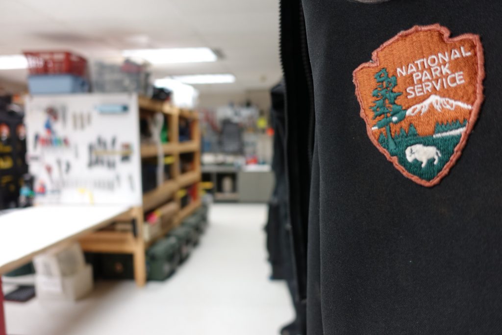
I am grateful for the opportunity to have worked so closely with the DFA Pro course, because with my participation in the course revision process, I feel confident in my first aid skills and hope to expand upon them in the future. I had the opportunity to learn valuable skills on course development through working with Patty and Jim, and I learned how to effectively educate a diverse audience. I know that these skills will take me far as I hope to work with people all over the world in the future.
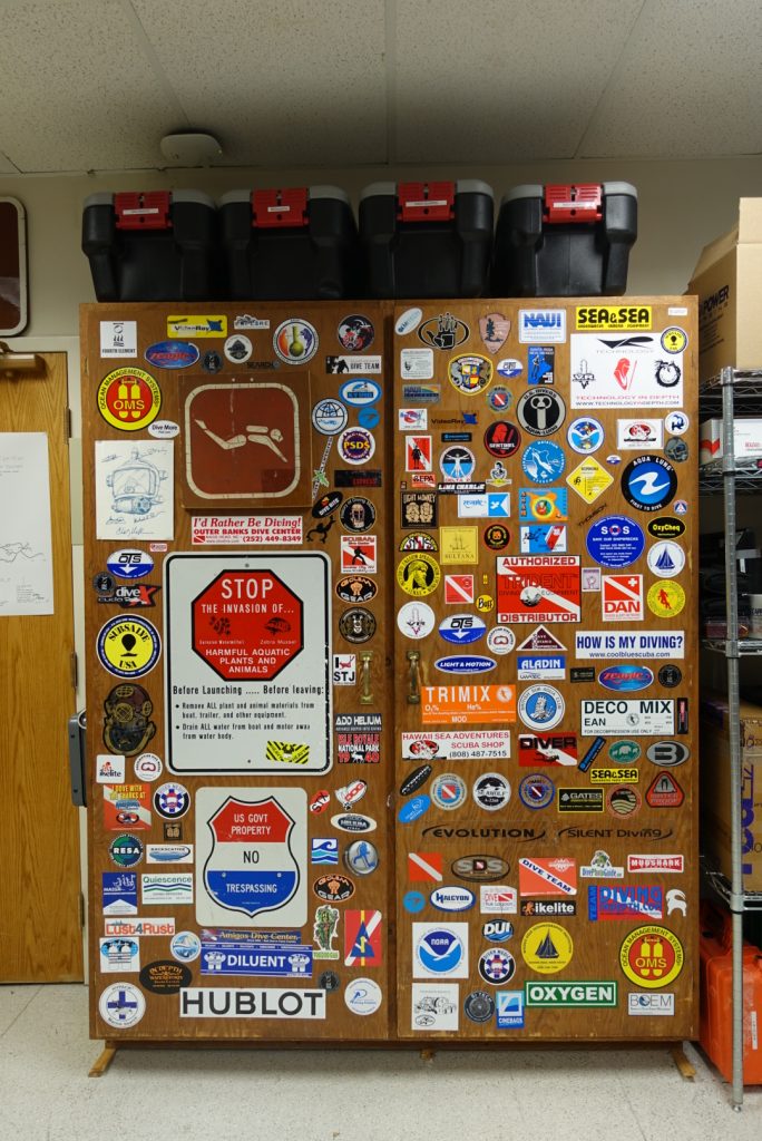
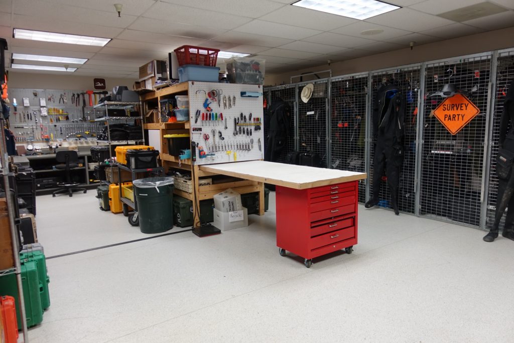
Simply being around so many accomplished and knowledgeable divers, I learned a lot about diving physics and technical diving while here. Although I only just began my divemaster, learning about the diverse potentials for my diving future is exciting.

As shared throughout my past blog posts, I have added many more tools to my kit of dive knowledge and safety. I am thankful for the opportunity to have participated in the research intern workshops with Dr. Frauke Tillmans and Dr. Allan Uribe, both of whom have been great mentors and friends in addition to my primary mentors, Patty Seery and Jim Gunderson.

Since the training department is currently housed with the medical department, I got to know all the medics and doctors here as well and learned about typical diving-related medical topics and injuries. I also learned what happens when you call the emergency hotline! Everyone here is so nice and knowledgeable, and I feel that I would be in very good hands if I ever need help.

Finally, I learned that DAN is always here for me. Whether I need medical advice, liability insurance, training resources, or friends to talk to ­— I know I can always count on the people here at DAN for their support and knowledge.

I have a new appreciation for all DAN’s resources, including the medical emergency and informational lines, first aid courses, and dive insurance! As long as I am a diver, I will carry DAN dive insurance. (No, they did not pay me to say that!) I look forward to becoming a dive professional and emphasizing safety as part of the training I conduct. For all the instructors out there, did you know that you can register your students for DAN insurance for free during the extent of their training?

I would like to thank everyone here at DAN for sharing their knowledge with me and making this experience valuable and memorable.

I am off to continue my journey back in Washington, where I will lead sea kayaking trips in the San Juan Islands for first-year orientation for my school, Whitman College. I will return to Walla Walla, WA, for my senior year, and write my biology thesis on bone density of deep-sea fishes. Thank you to my new DAN and OWUSS families for providing me with this incredible opportunity to learn and grow.  I look forward to seeing where the future takes me!

The final dives:

Thankful for the friends I made at DAN! Diving the wreck of the Advance with Tess Helfrich.

Diving safely! 🙂

Share