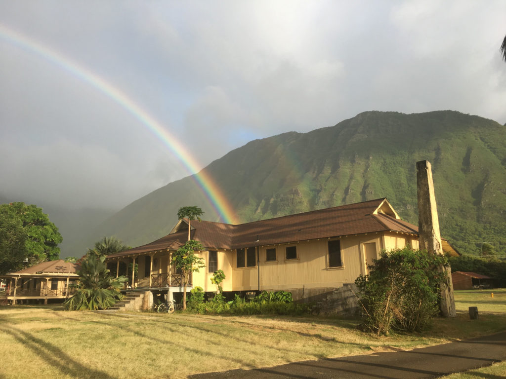
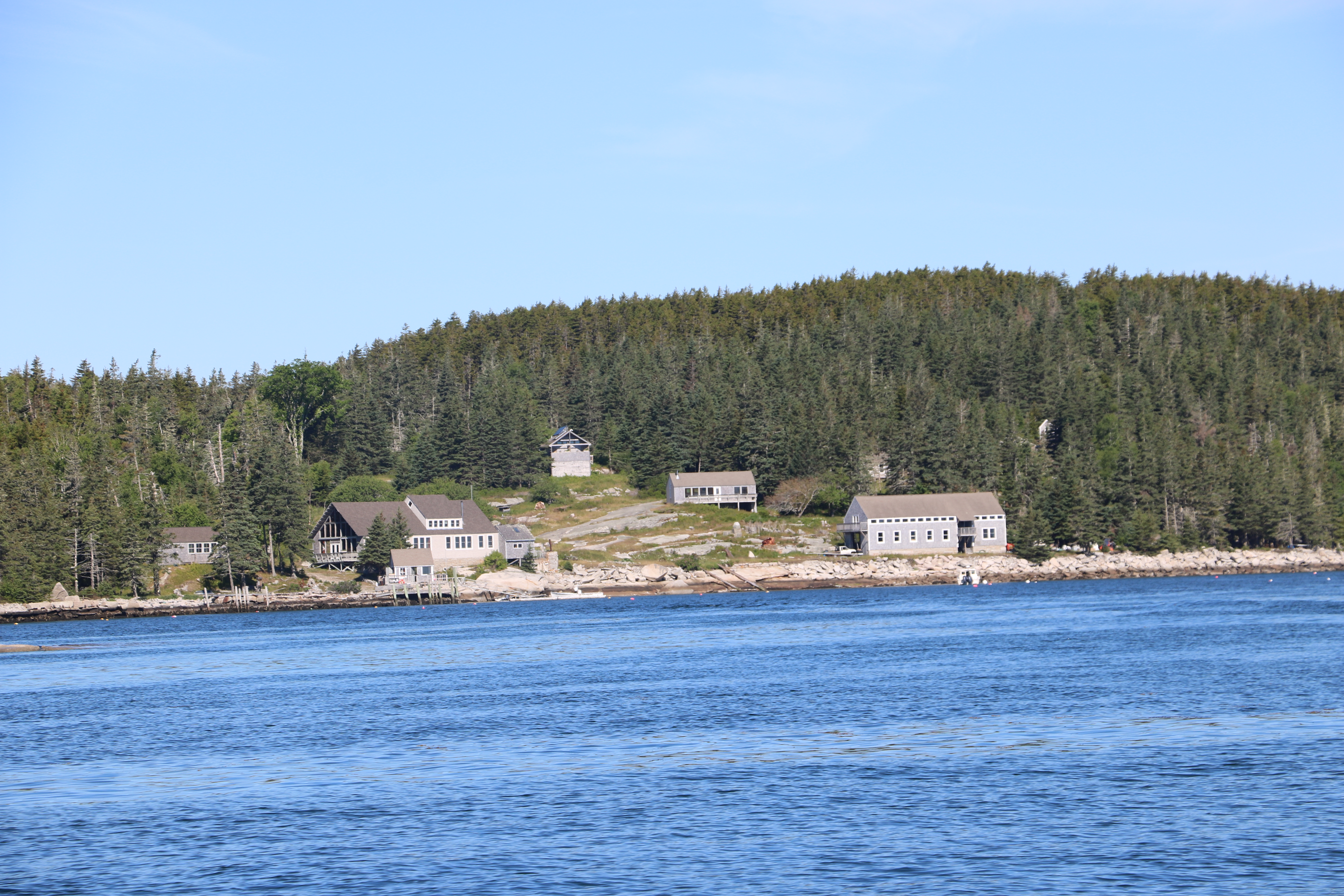
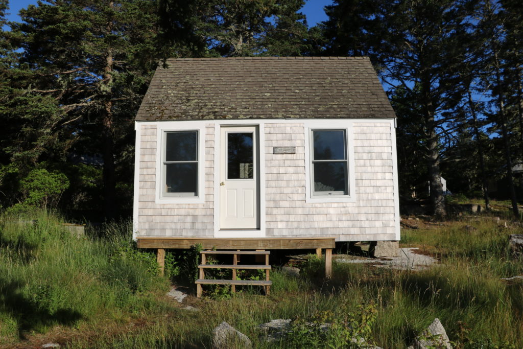
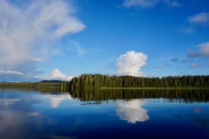
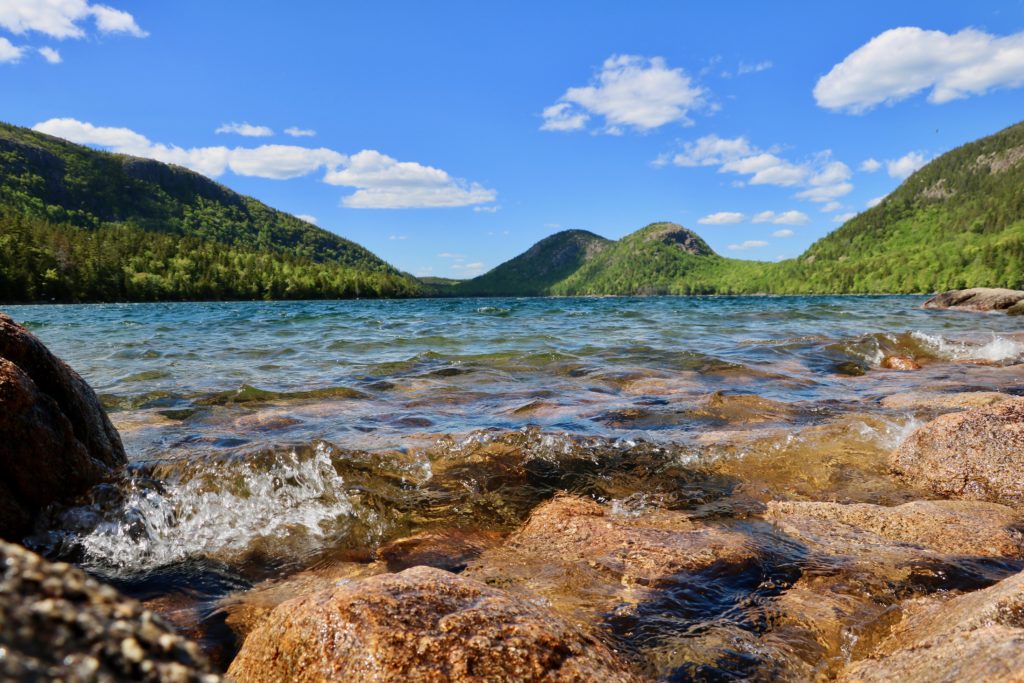
On Sunday, after arriving in Honolulu the previous night, I caught an 8-passenger plane to Kalaupapa National Historical Park (KALA). I was picked up at the airport by Eric Brown, the Park Dive Officer and a marine ecologist at KALA, and his wife, Claire, who have lived on the peninsula for 13 years. After a quick tour of the settlement, Eric dropped me off at Bay View Home, my home for the next week. Built in 1916, Bay View Home originally served as a group home for older, disabled, and blind patients.
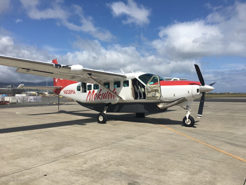
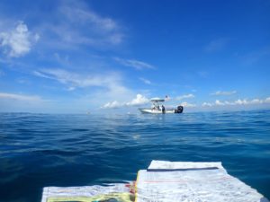
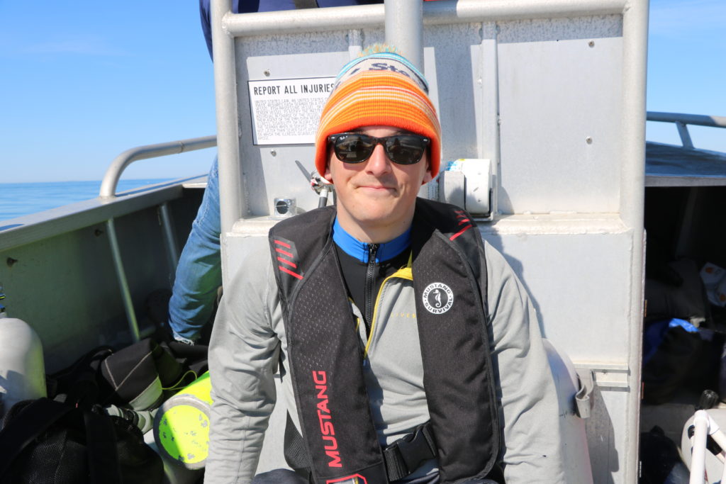
With my duffel, dive bag, and groceries in hand, I climbed aboard to begin my next adventure!
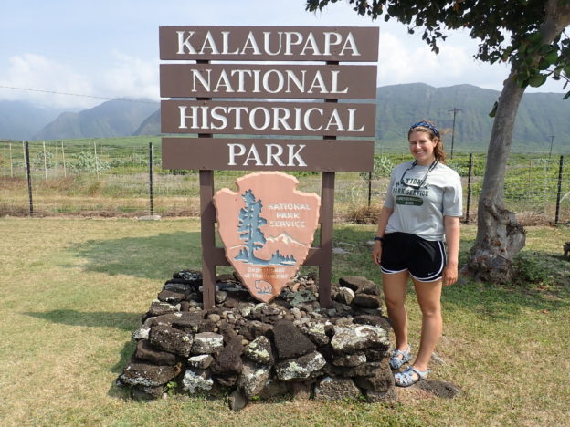
With no known cure in 1866, as Hansen’s Disease began to spread across Hawaii, the current monarch (King Kamehameha V) decided to exile thousands to the isolated peninsula. Families were broken as children and spouses were ripped away from their homes and relatives. Patients of this isolated colony were treated as prisoners with limited access to resources and reduced contact with the outside world. Over 8,000 people lived and died on this remote peninsula. By 1949, forced isolation at Kalaupapa had ended and the lives of patients drastically changed as the new superintendent promoted social activities and lifted restrictions that prevented patients from holding jobs. Officially, the Hawaiian isolated policy was not abolished until 1969, at which time, patients were given the choice to remain or leave. Today, Hansen’s Disease, otherwise known as leprosy, is curable and is one of the least contagious of modern-day communicable diseases. In 1980, Kalaupapa National Historical Park was established to protect the remaining residents and preserve the history of the peninsula. Nine patients still remain in Kalaupapa with about 70 national park service and department of health employees.
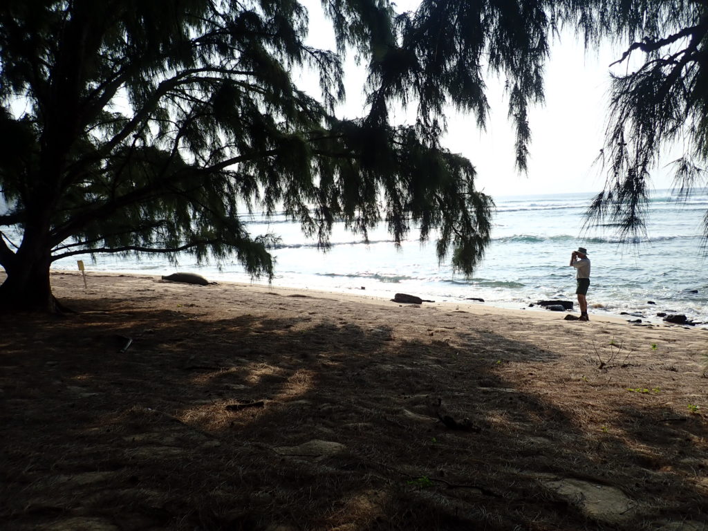
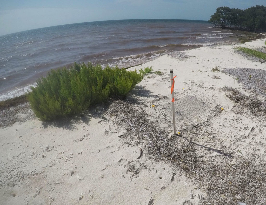
Upon arriving in the office on Monday morning, I met the natural resource management team and set out in search of green sea turtle nests with Alexandra Engler, a participant of the International Volunteers in the Parks Program, and Yubee Isaac, a UH Hilo National Historical Park Intern. Every morning, they checked the nearby black sand beach for nests. On average 5-6 nests are found per year at KALA, unfortunately, no nests had been observed this season.
Natural Resource Management Building at KALA
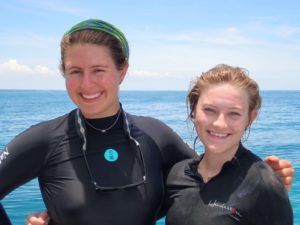
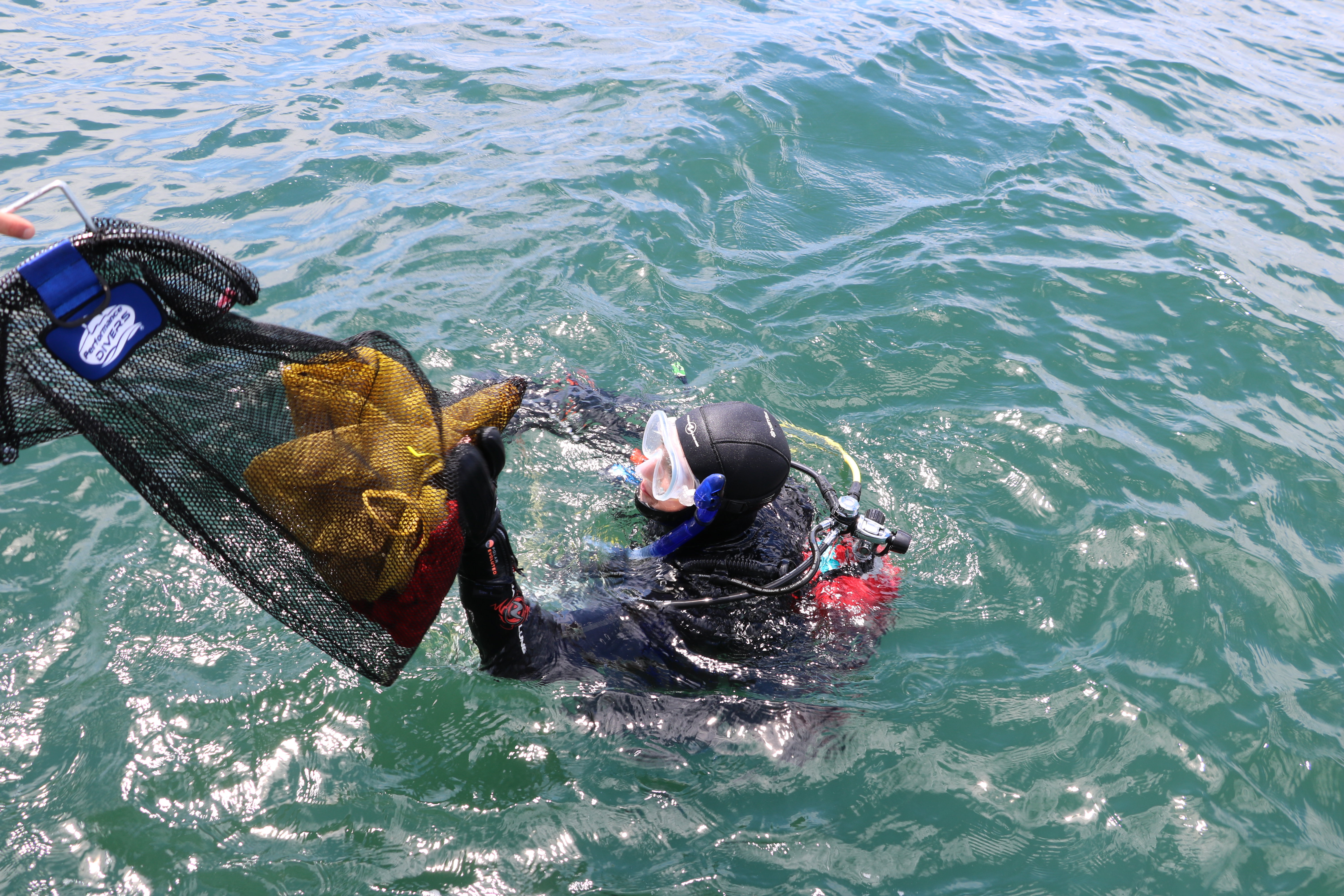
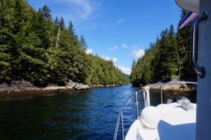
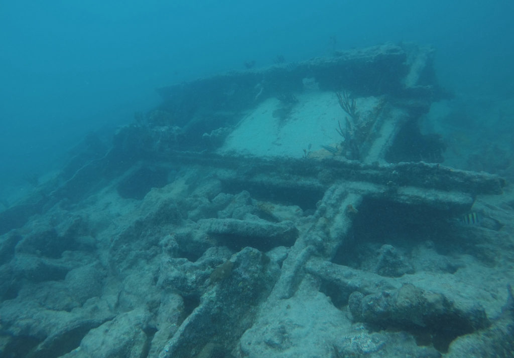
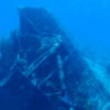
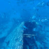
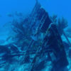
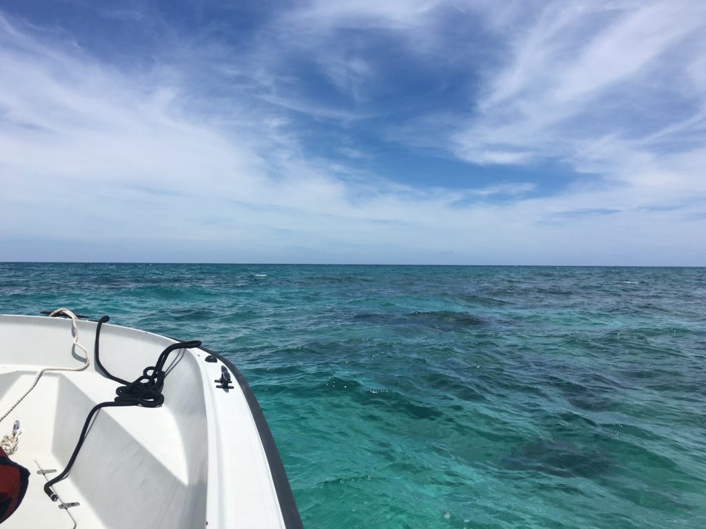
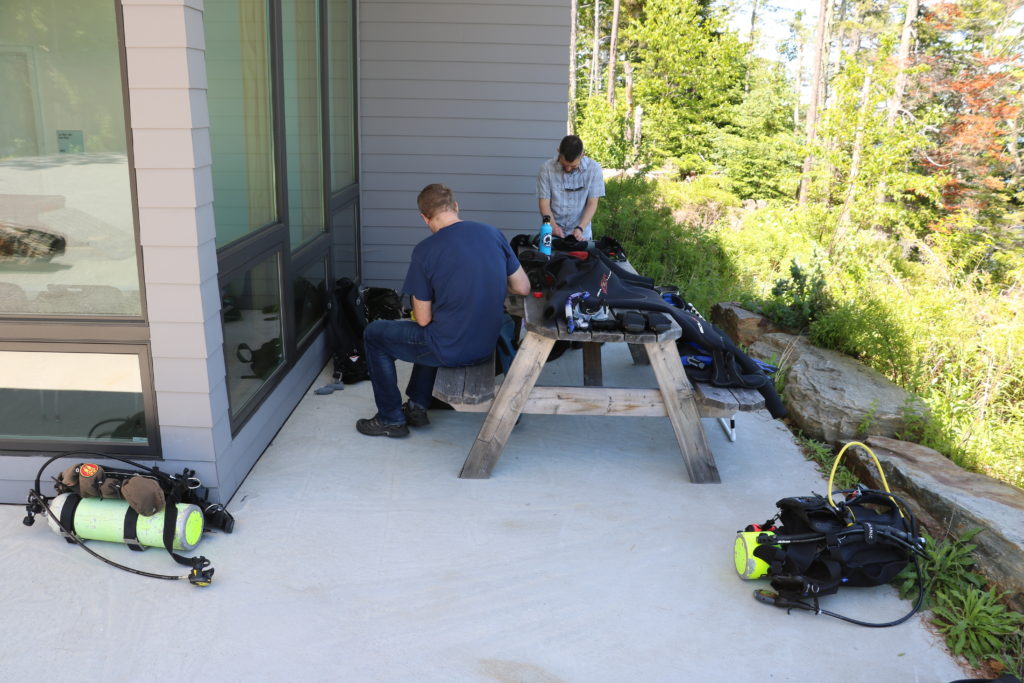
The remainder of my Monday was spent at sea. In partnership with the University of Hawai’i, acoustic receivers were placed in the waters surrounding KALA. In previous years, large pelagic fish and sharks were tagged with acoustic transmitters. When they swam near these strategically placed receivers, the movement of these apex predators was recorded and then studied. With the study complete, Randall Watanuki, a maintenance mechanic at KALA, and I spent the afternoon diving to remove these receivers. Using GPS coordinates, Randall and I would jump into the rough seas only to be met with a calm underwater environment that allowed us to quickly locate the receivers and unhook them from the ocean floor.
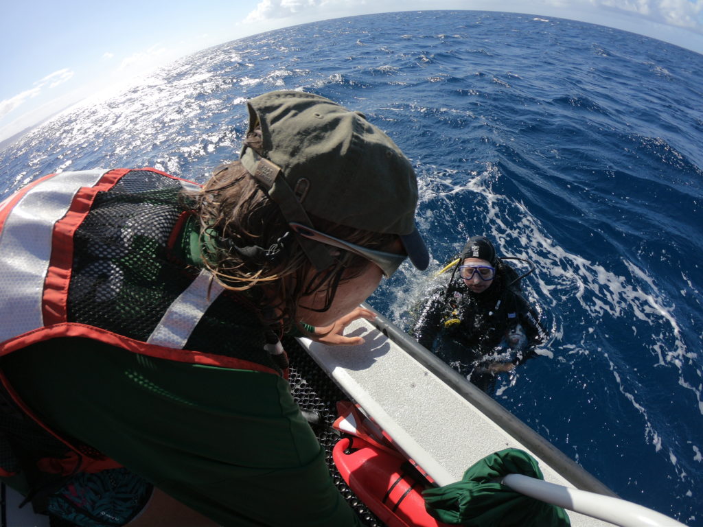
Alex helps me out of the water after successfully retrieving a receiver PC: Yubee Isaac
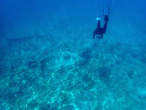
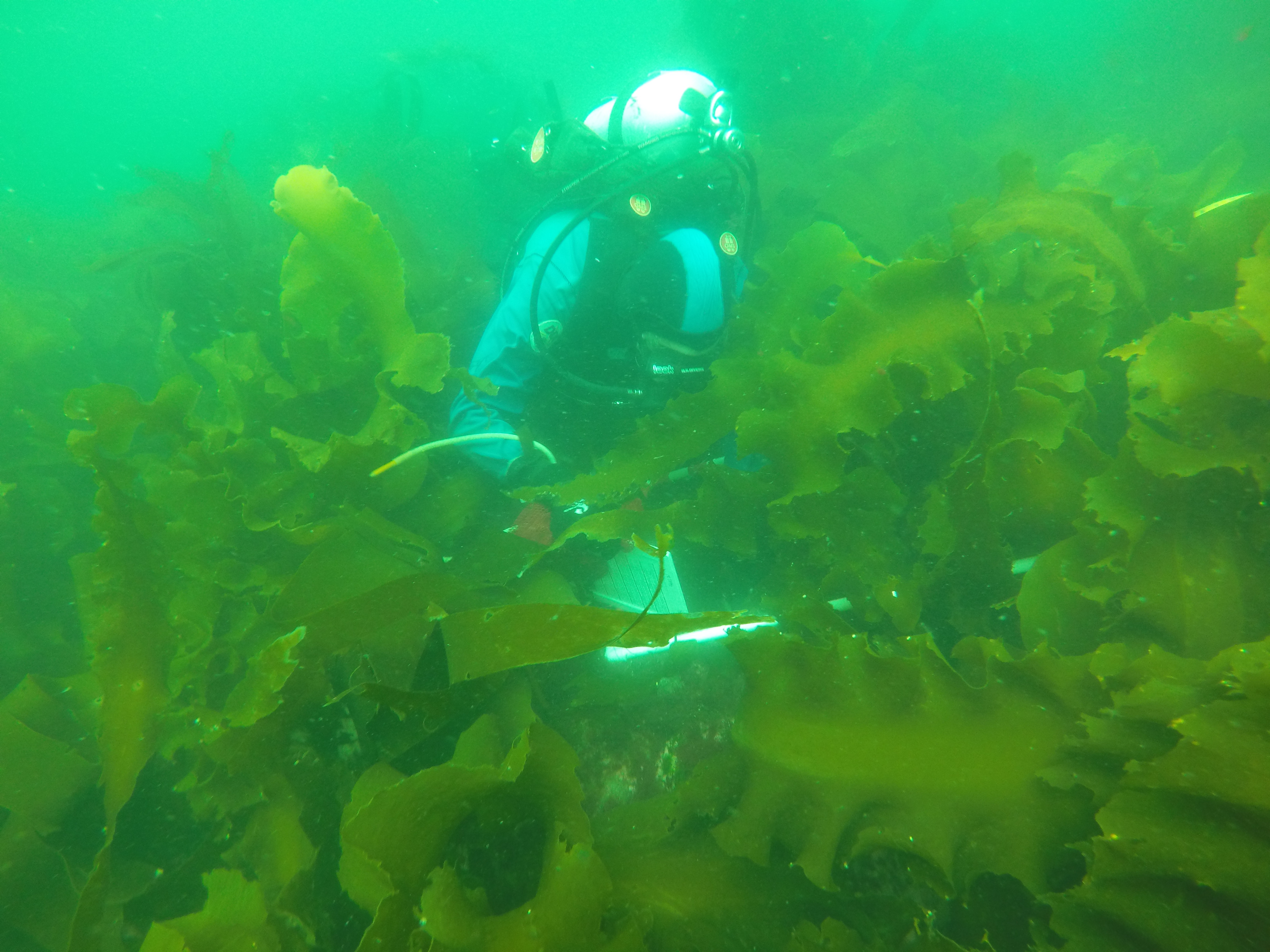
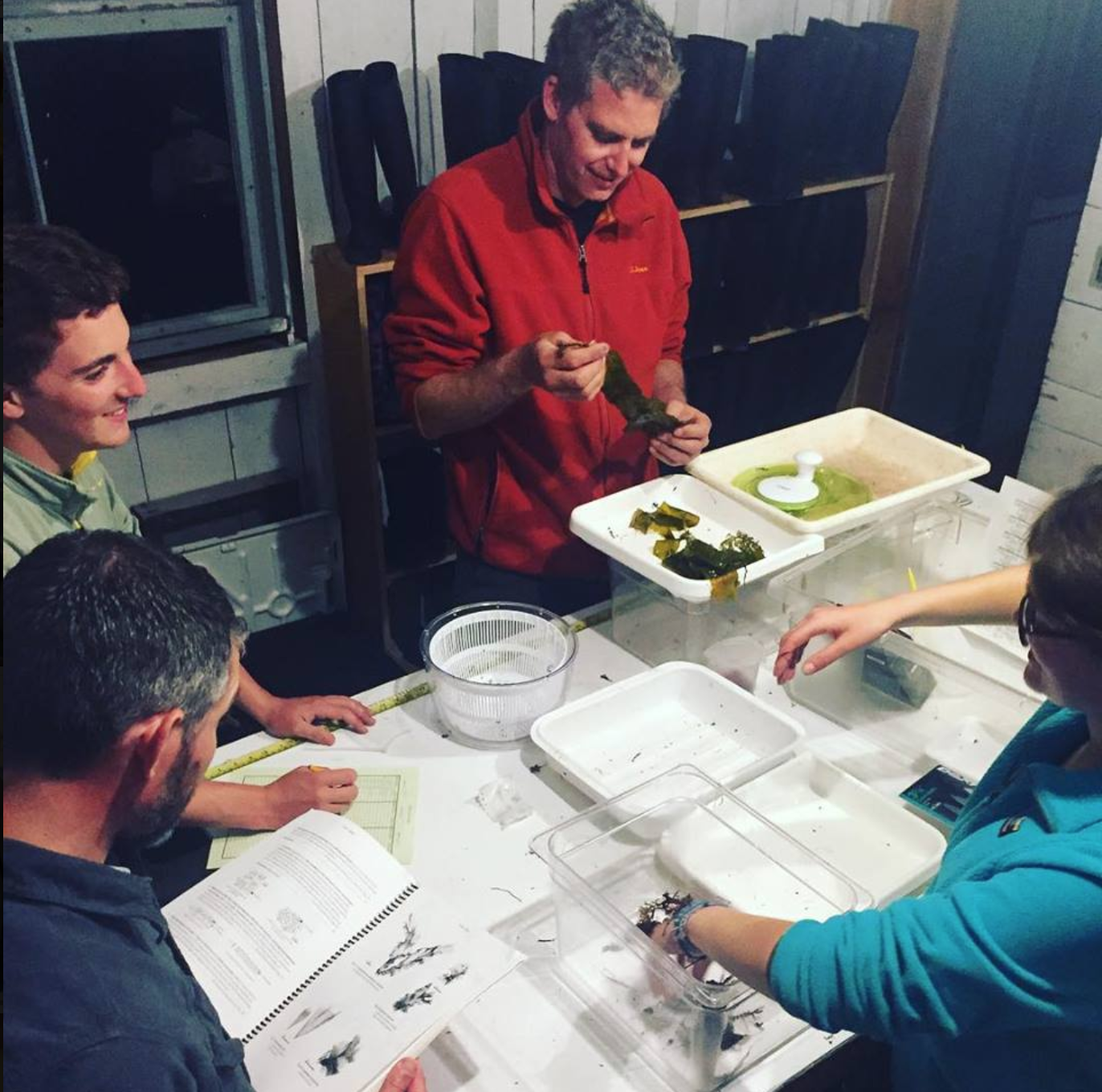
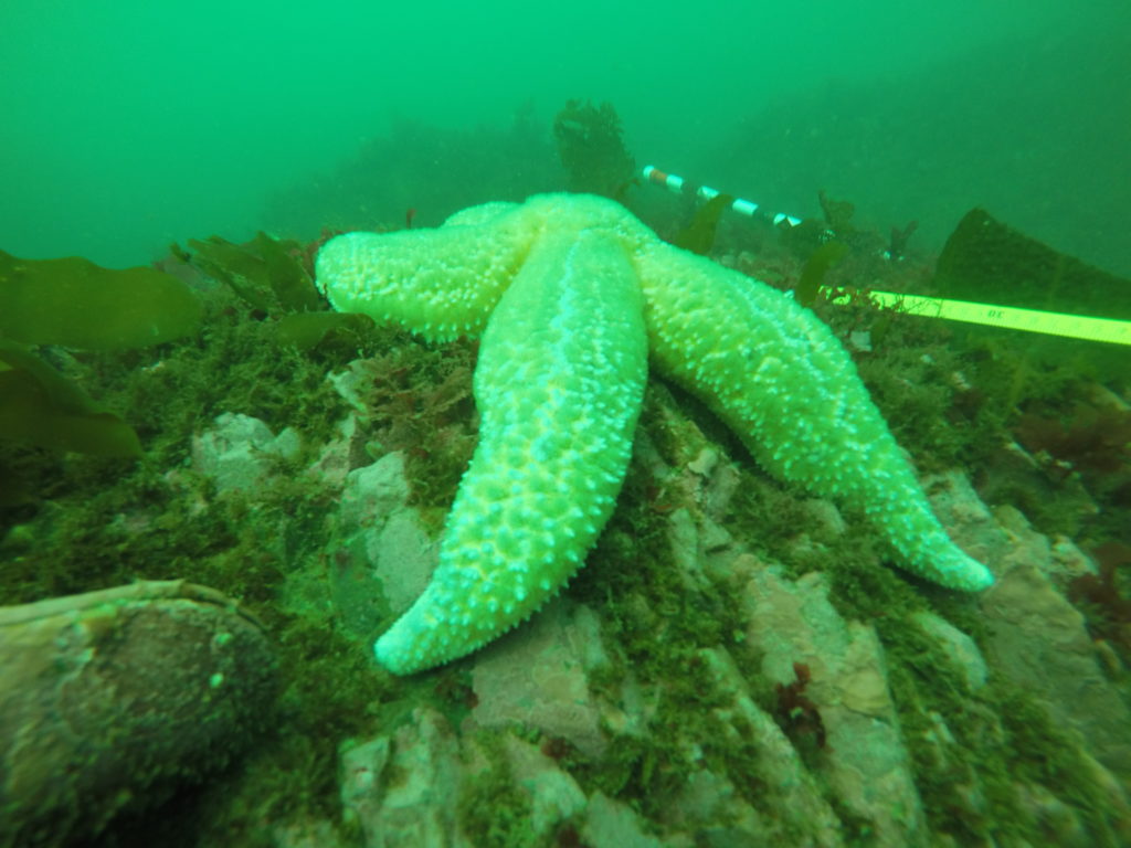
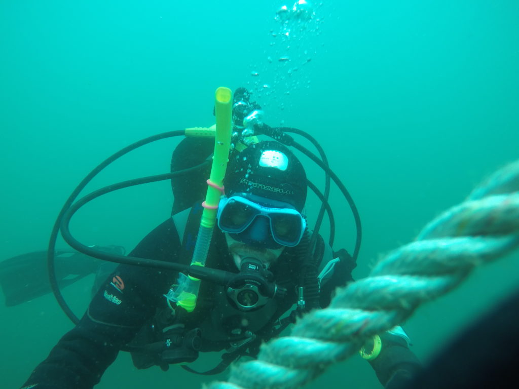
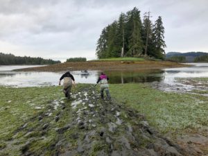
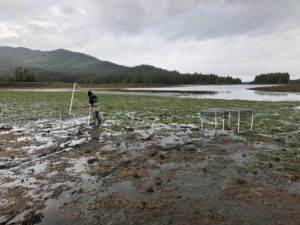
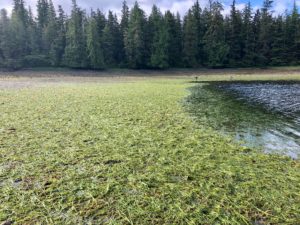
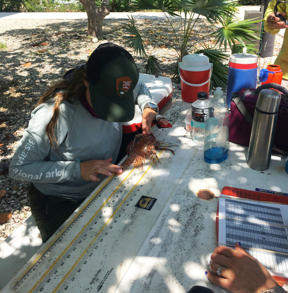
The following day was spent practicing the benthos and fish monitoring protocol that the marine team would employ later in the summer to monitor 30 sites around the peninsula. In the harbor, Eric laid five, 25 meter transects. Along each transect, Eric counted the number of fish and estimated their size. Fish density and species richness would be determined from this data. As Eric focused on fish counts, Randall and I took turns measuring rugosity with a chain and operating the camera. Photographs taken at every meter were analyzed to determine coral cover and disease prevalence. Though the harbor was a relatively barren, shallow habitat, the morning dive gave Eric and Randall a chance to refresh their skills in preparation for the busy monitoring season.
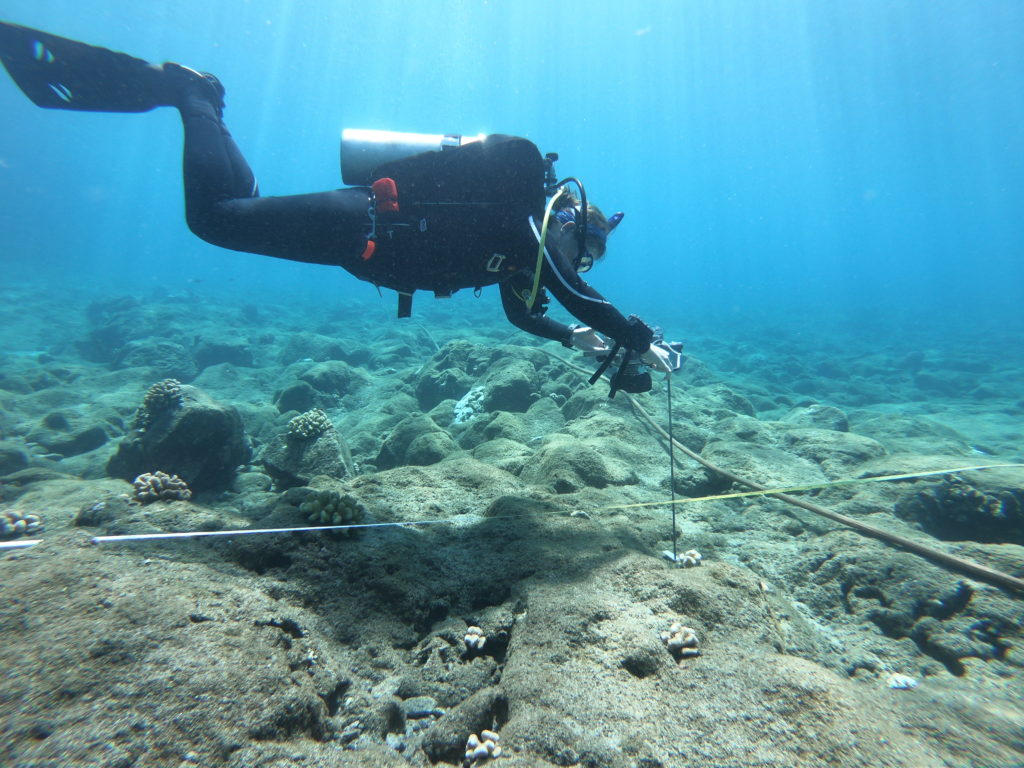
Practicing my underwater photoquadrat skills in KALA’s harbor PC: Yubee Isaac
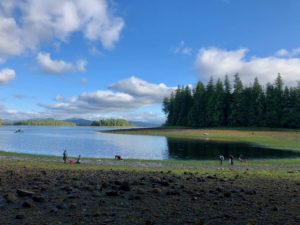
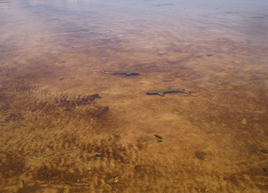
On Wednesday morning, I accompanied Alex and Yubee as they monitored Kalaupapa’s monk seal (Neomonachus schauinslandi) population. Endemic to these islands, monk seals are an endangered species once almost hunted to extinction. Currently, there are around 1,300 monks seals throughout the Hawaiian islands. To monitor the seals, Alex and Yubee walk along the beaches in search of the mother’s and their pups. Monk seals spend a majority of their lives in the water; however, females return to the beaches where they were born to give birth. They then remain on land with their pups for about 2 months before abandoning the pup and returning to sea. After being weaned, the marine team at KALA in association with NOAA Hawaiian Monk Seal Research Program, measure the pups, given them immunization shots, and tag their flippers so they can continue to monitor the pups as they grow. The purpose of these morning walks was to not only check in on KALA’s population but to determine whether any new pups were ready to be tagged.
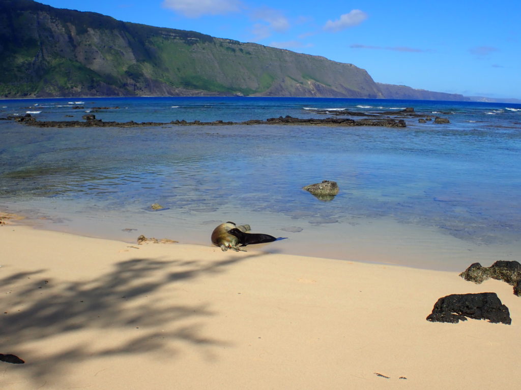
An adorable pup feeds from his mother while she sleeps in the shallows
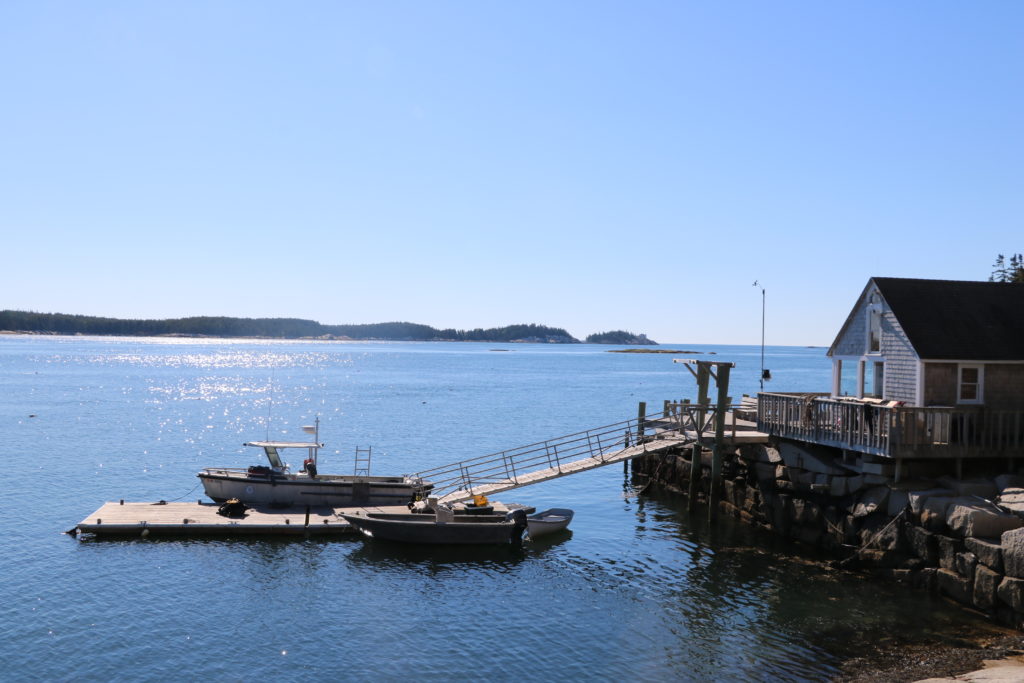
In the afternoon, Eric, Randall, and I completed a short, harbor dive to set up a mooring for the park boat. Due to the large swells and rocky shoreline, Eric wanted a place further from shore to attach the boat when necessary. This dive gave me the opportunity to observe some shallow maintenance work while exploring the nearby ecosystem.
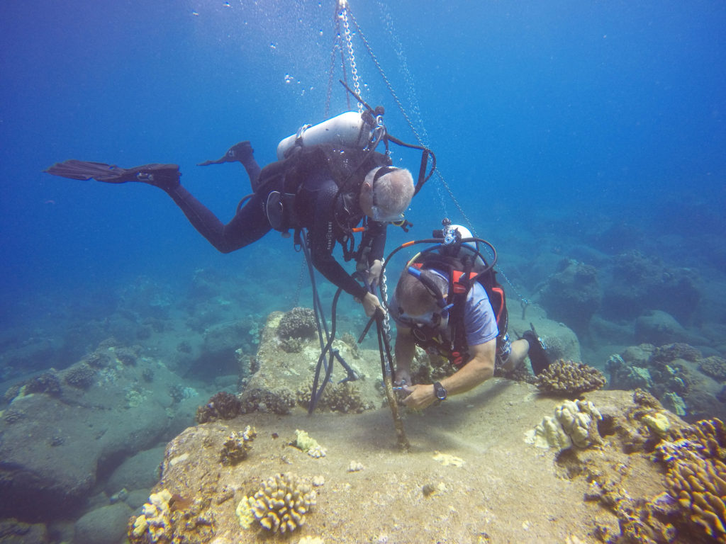
Eric and Randall work together to set up the offshore mooring system for the NPS boat
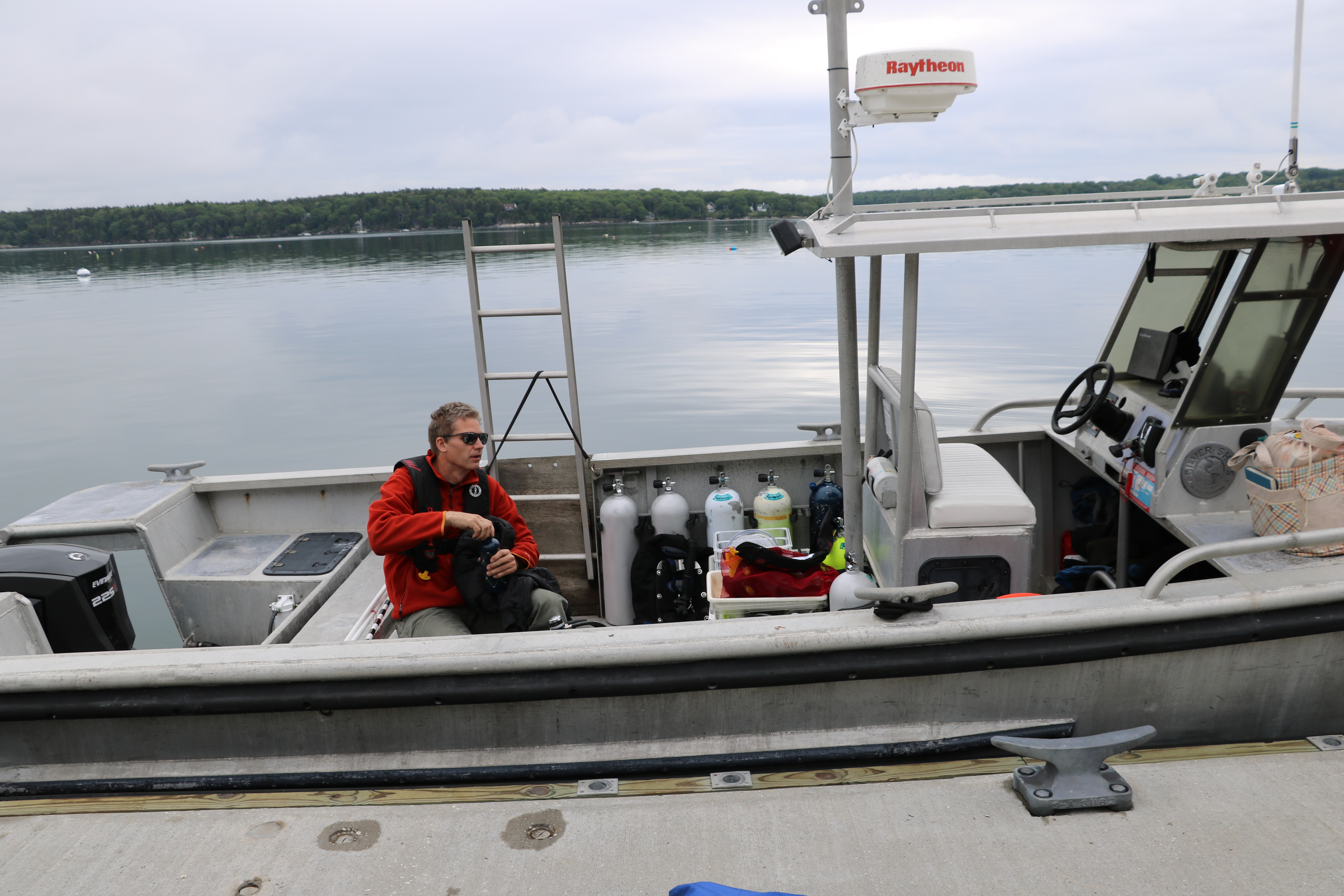
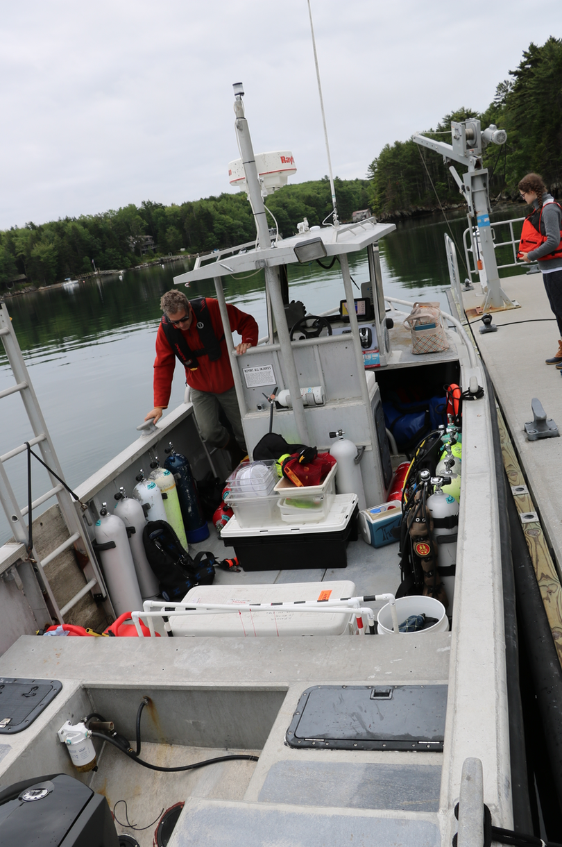
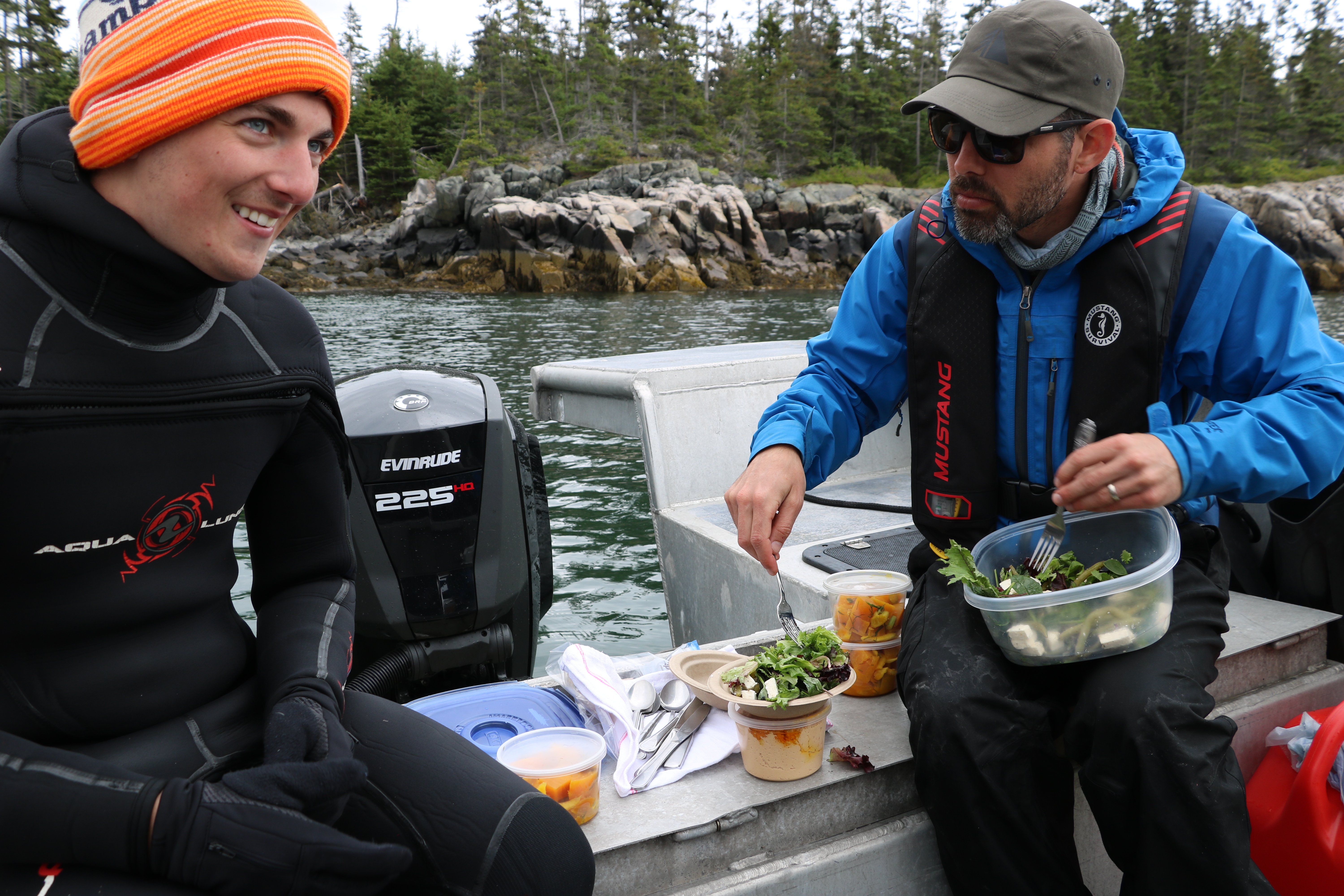
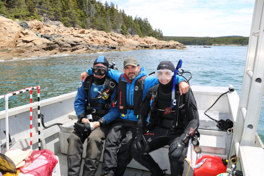
With more receivers to remove and water samples to collect, the marine team loaded the boat on Thursday morning and headed out for another adventure. Similar to our previous dives, Randall and I successfully collected three more receivers even after battling some strong surface currents. While Randall handled the tools, I controlled the line for the surface buoy that marked our location. In between dives, I assisted Eric, Randall, Yubee, and Alex as they collected water samples from three predetermined sites. At each site, a Niskin bottle was used to collect water from the surface. The samples were filtered and then stored for later analysis. Two snorkelers would also enter the water at each site. With a multiparameter instrument attached to a float, they would lower the device to depth to collect data such as water salinity and temperature. Water quality data collected around Kalaupapa’s peninsula allows Eric to monitor any water chemistry trends that may influence the marine ecosystem.
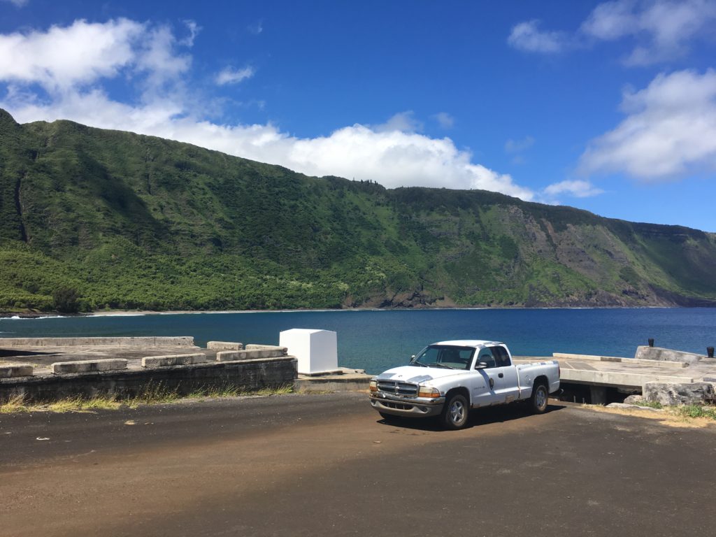
Meet Esmeralda. This rusty truck belongs to the marine team and is used to carry scuba gear to and from the docks. When the barge arrives this summer, the team will say farewell and a new truck will take Esmeralda’s place.
Upon returning to shore and drying our gear, Alex and Yubee were kind enough to invite me over to their home for the evening. Staff Row, built between 1890 and 1930, originally served as housing for the medical professionals living at the settlement. Today, these buildings are home to a group of interns working for the National Park Service. We spent the evening trading stories as we enjoyed an outstanding ratatouille dish cooked by Alex.
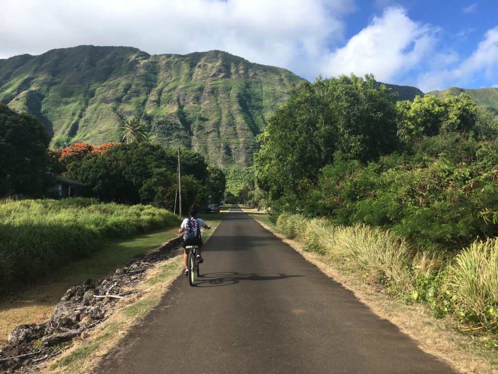
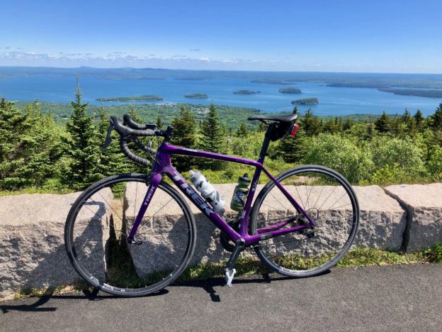
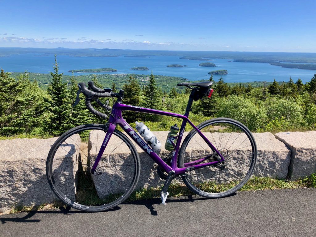
With limited access to gasoline and a relatively flat landscape, a majority of the workers use bikes to get around
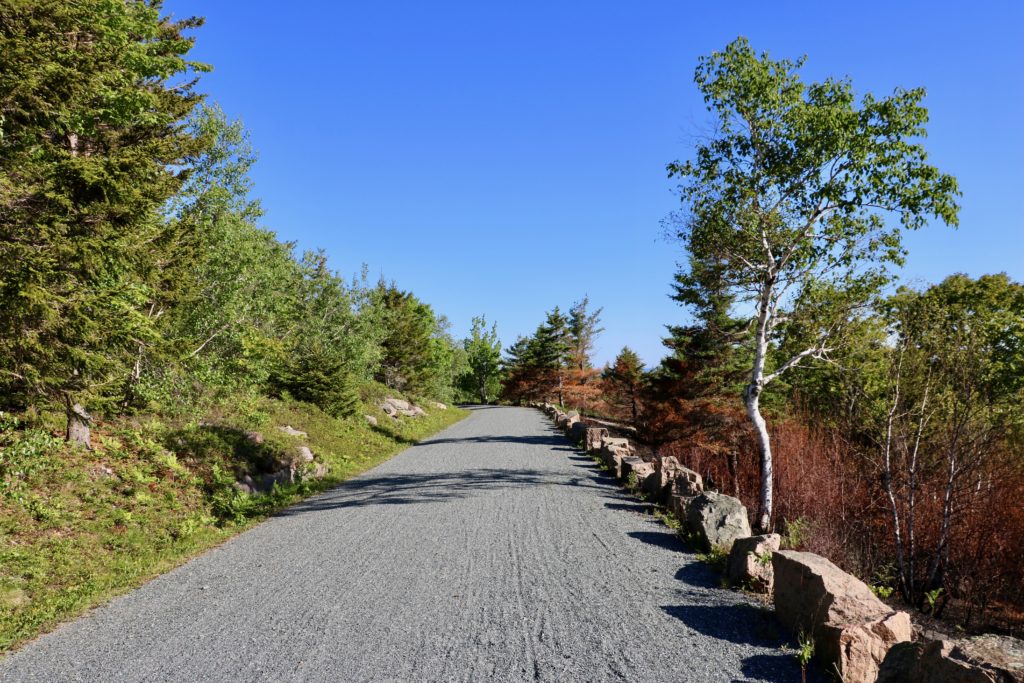
While our work week was behind us, Yubee, Alex, and I awoke early the next morning to begin our hike to the topside of Molokai. Kalaupapa National Historical Park is accessible by plane or by a single hiking trail. The trail is around 3 miles, 1,600 feet, and has 26 switchbacks. No roads connect the small settlement of KALA to the 7,500 people living on the other side of Molokai. Many inhabitants of KALA, hike this trail multiple times a week to get groceries, visit topside, and/or live with their families who reside topside. Unlike Eric, whose impressive trek takes less than an hour, Alex was patient as Yubee and I took our time. We were enjoying the scenery while simultaneously catching our breaths.
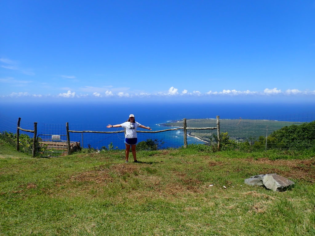
What a view! PC: Alexandra Engler
Upon reaching the top of the trial, Eric drove a group of us down 10 miles to Kaunakakai, the largest town on the island, home to two grocery stores. There we explored the small, lively town while filling our bags with groceries and our stomachs with ice cream. After returning to the settlement, that evening, I joined several members of the community for their weekly potluck and movie night at Tim’s house. Tim is the chef for the nine patients who remain on the peninsula.
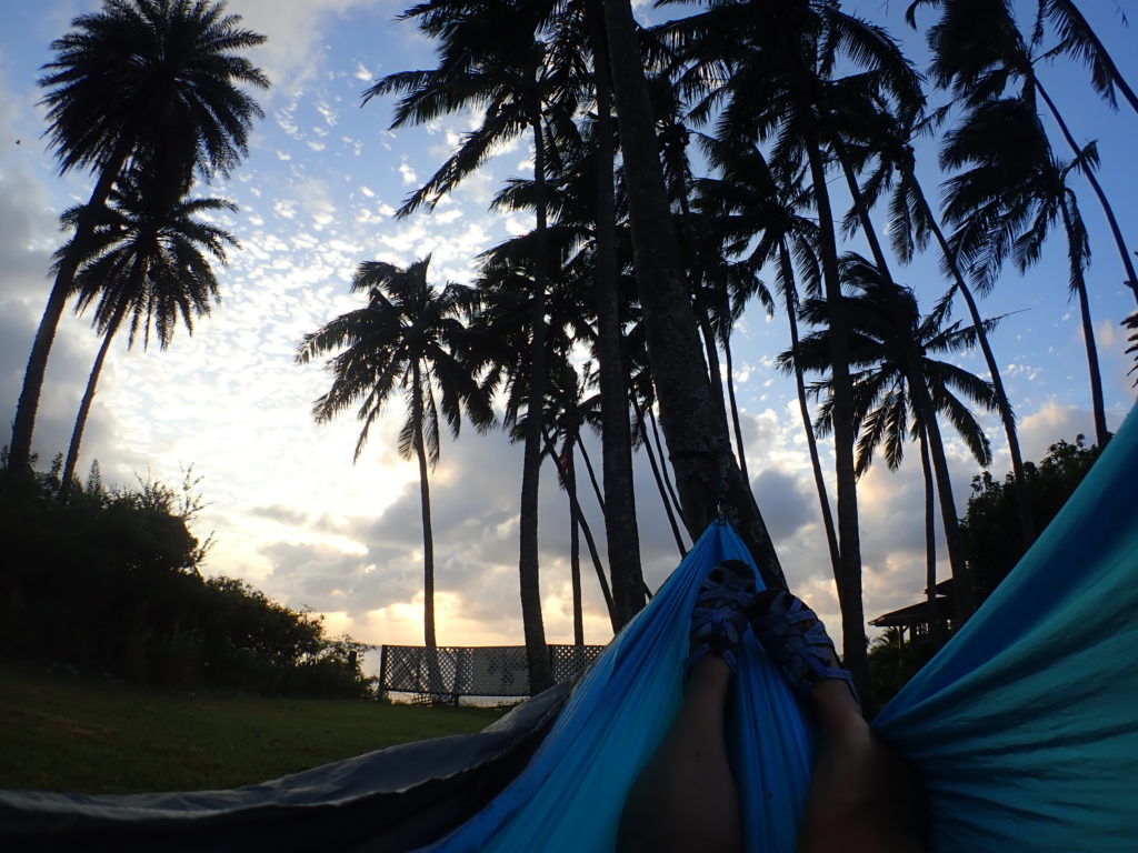
Enjoying the scenic views and calming breeze from my hammock, while avoiding the falling coconuts
After enjoying a relaxing Saturday morning, I accompanied Eric on a weekly monk seal walk. Starting at the Kalaupapa airport and ending at the harbor, we walked along the shoreline to count the monk seals, record their activity and habitat. To prevent seals from becoming accustomed to humans, we stayed low and avoided eye contact. During the walk, we observed three nursing mothers, a pregnant female, and multiple weaned pups playing in the shallows.
Eric gets a closer look at the pregnant female’s flippers to determine whether she has been tagged
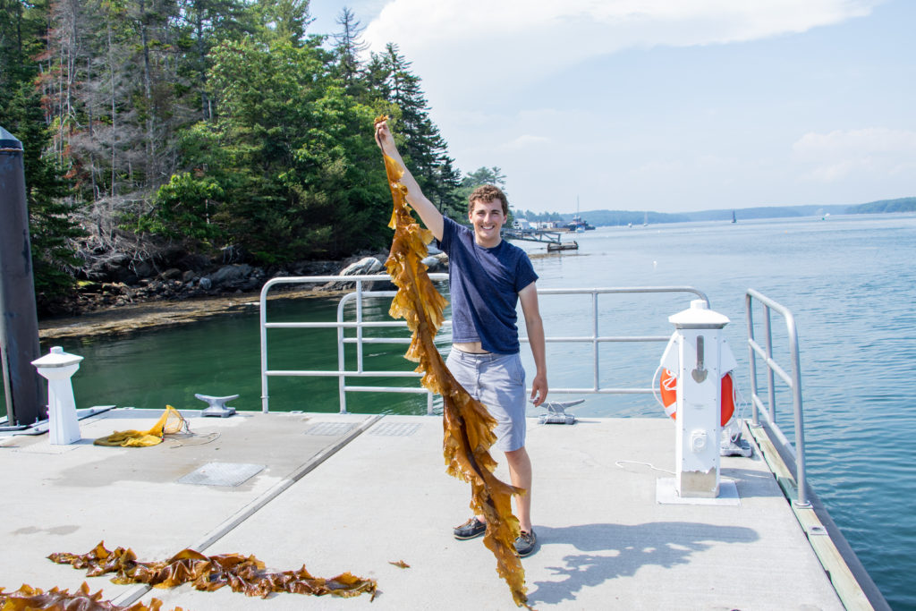
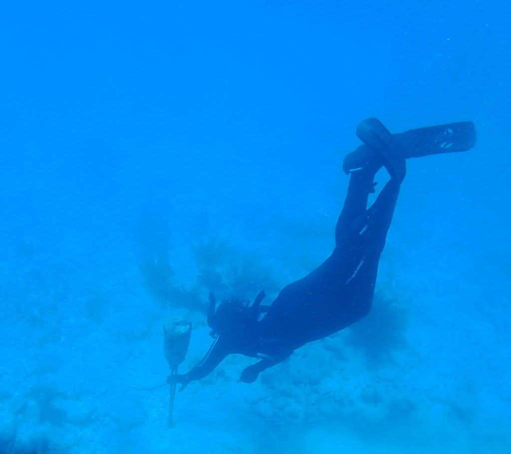
Monday morning marked my second to last day at Kalaupapa National Historical Park. In the morning, I assisted Randall as we filled the boat’s gas tank. Due to a sizable swell, we were unable to pull the boat against the dock. Instead, Randall and I swam three gas tanks out to the boat. Upon returning to headquarters, we were greeted by Erika Johnston, ‘Ale’alani Duboit, and Emily Conklin. All three are Ph.D. candidates in the Toonen-Bowen lab at the University of Hawai’i at Manoa. For the next week, they would be freediving and collecting samples of two native coral species for a connectivity study. We spent their first day in the field at two sites. At each site, we collected ~20 samples of each species from separate coral colonies located around 15-20 feet deep.
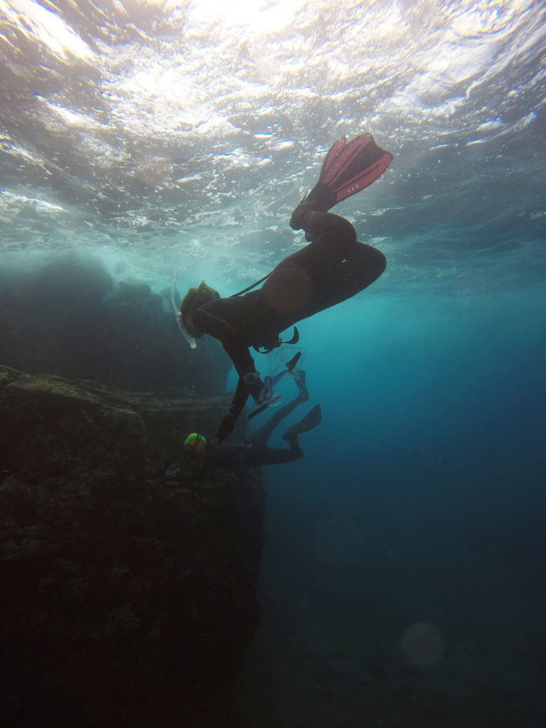
Erika and ‘Ale’alani freediving below the waves to collect coral samples along KALA’s coastline
My final morning at KALA was spent at the settlement’s nursery. Alongside Ryan, a volunteer for the terrestrial team at KALA, Yubee and I helped transfer juvenile plants to individual containers so they could grow freely. While the nursery was filled with native plants, most of Kalaupapa’s peninsula is inhabited by non-native species. Pittosporum halophilum (native coastal species) and Reynoldsia sandwicensis (native crater species) were the two species we transferred. After growing in the nursery, these plants would be transferred by the terrestrial team to their natural habitats. While the re-introduction of these native species at the crater had worked well due to their fenced environment, the plants sent to the coastline of KALA had seen limited success due to deer predation.
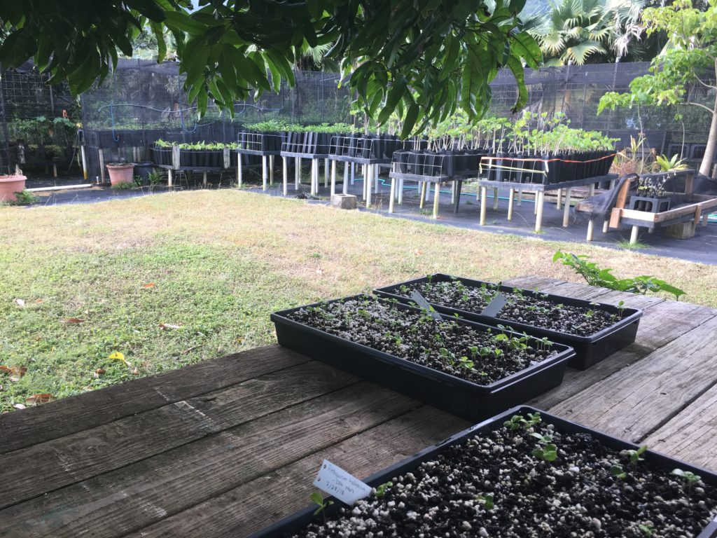
Hiding in the shade of the nursey as we replant a few hundred juveniles
After our trip in search of the pregnant monk seal ended with no success, Eric, Yubee, Alex, and I jumped into the trunk and headed to the airport. With my baggage in tow, I climbed into the small plane, this time crowded with seven other passengers and headed back to Honolulu, Hawaii. Before returning to the mainland, I would spend the next four days at World War II Valor in the Pacific National Monument.
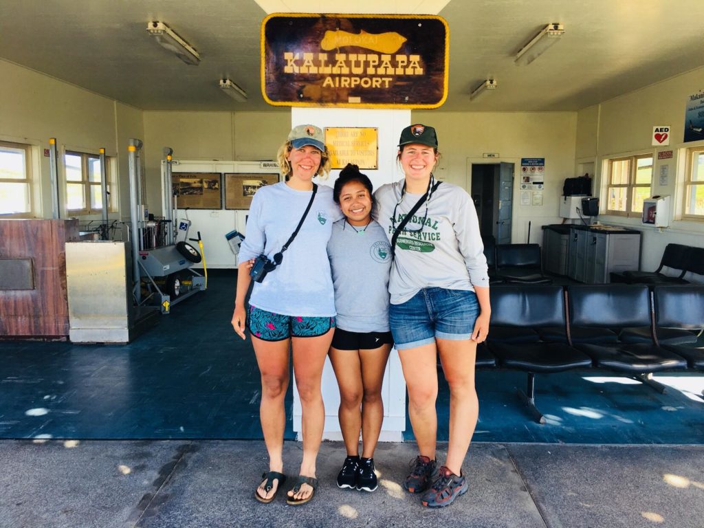
Alex, Yubee, and I pose in front of the tiny KALA airport PC: Eric Brown
Thanks to the amazing team at Kalaupapa National Historical Park for welcoming me with open arms. You made me feel like a member of the community, and I look forward to hopefully returning in the future!
Quick facts about KALA
- Following my departure, KALA welcomed its 11th monk seal pup for this season beating a previous record set in 2013
- Once a year, a barge brings large items like furniture and cars to the peninsula
- The only gas station on the peninsula is open 3x a week and each person is limited to a specific amount of gasoline – therefore most people travel by bike
- To enter KALA, you must have a resident sponsor. For tourists, permits are provided by the Kalaupapa resident owned and operated tour company, Damien Tours


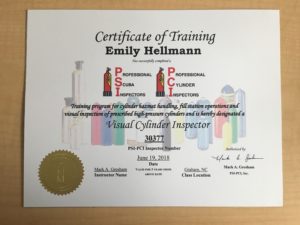
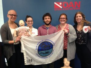
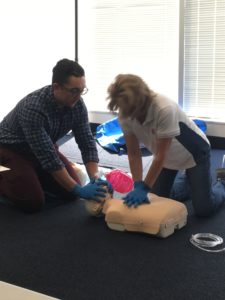
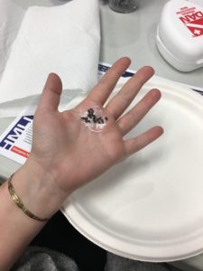
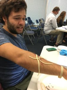
 Last week was one memorable week here at DAN! I nicknamed it “field-trip” week since most of the week was spent going to different places and experiencing new things. The three places we visited were SAS, Luxfer Gas Cylinders and the Center for Hyperbaric Medicine and Environmental Physiology (also known as the Duke hyperbaric chambers).