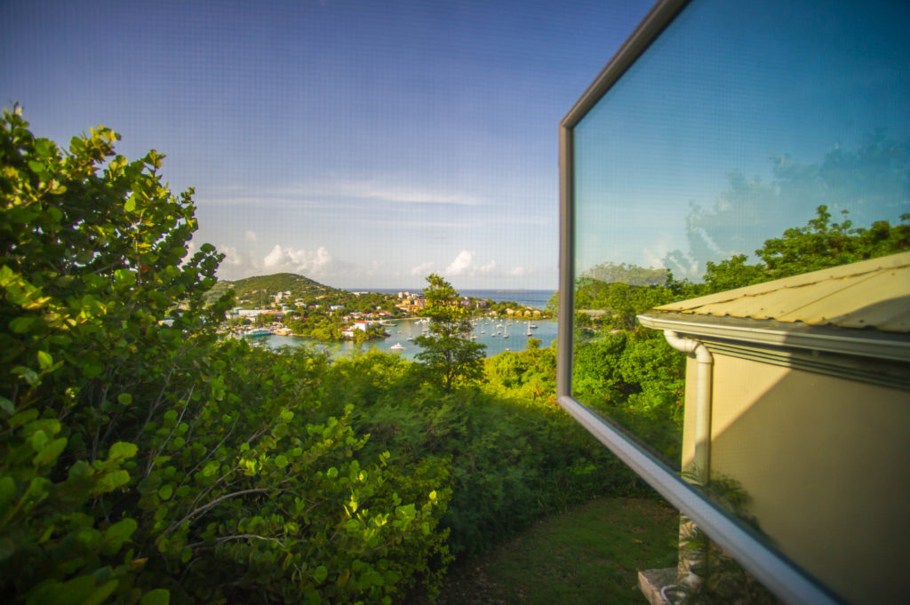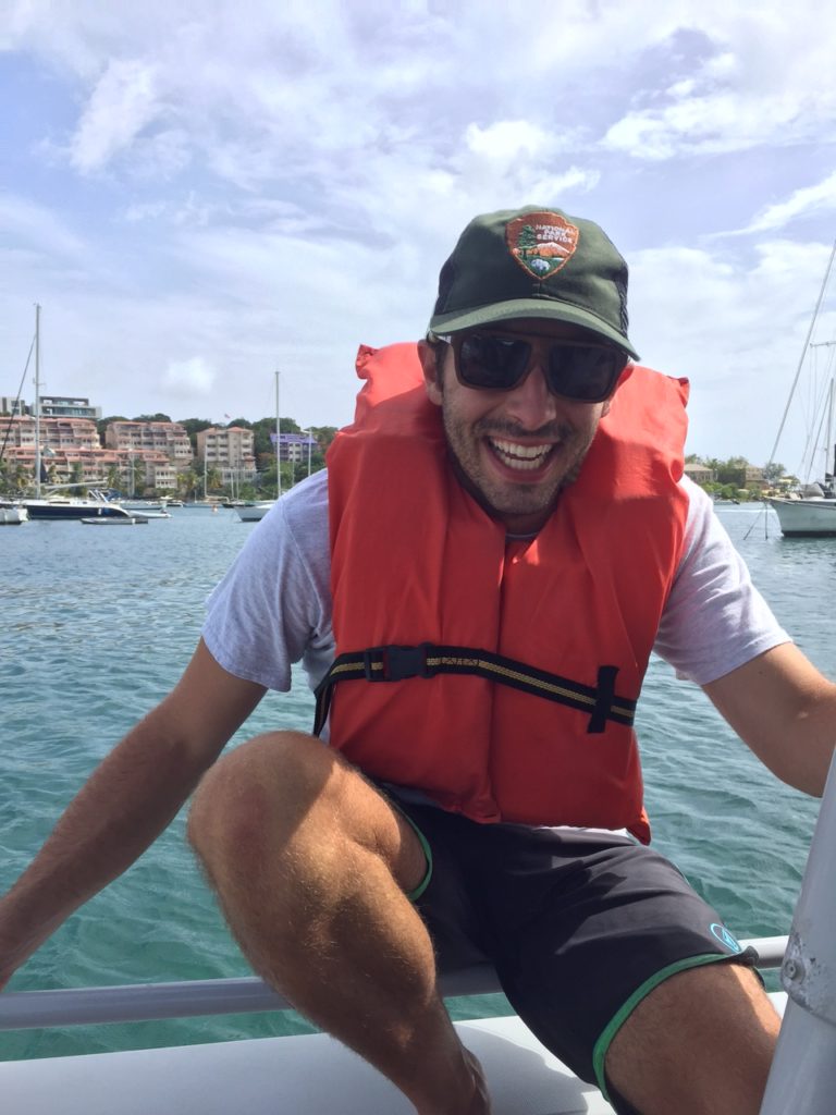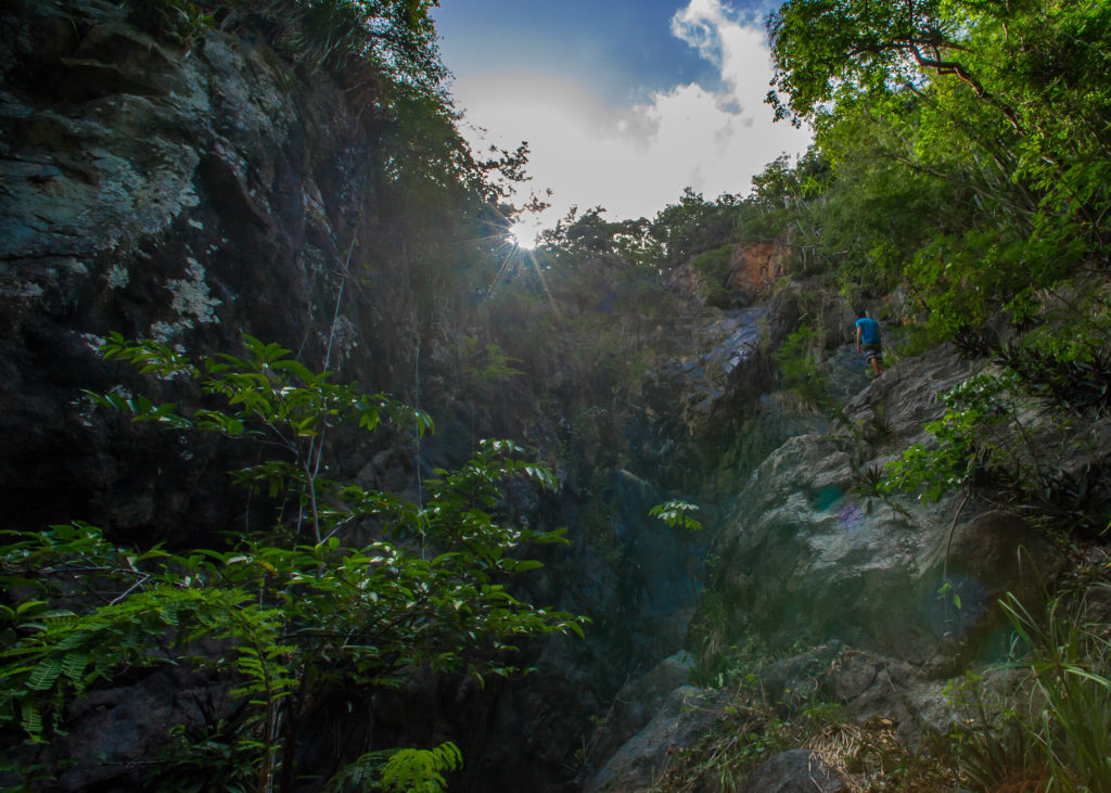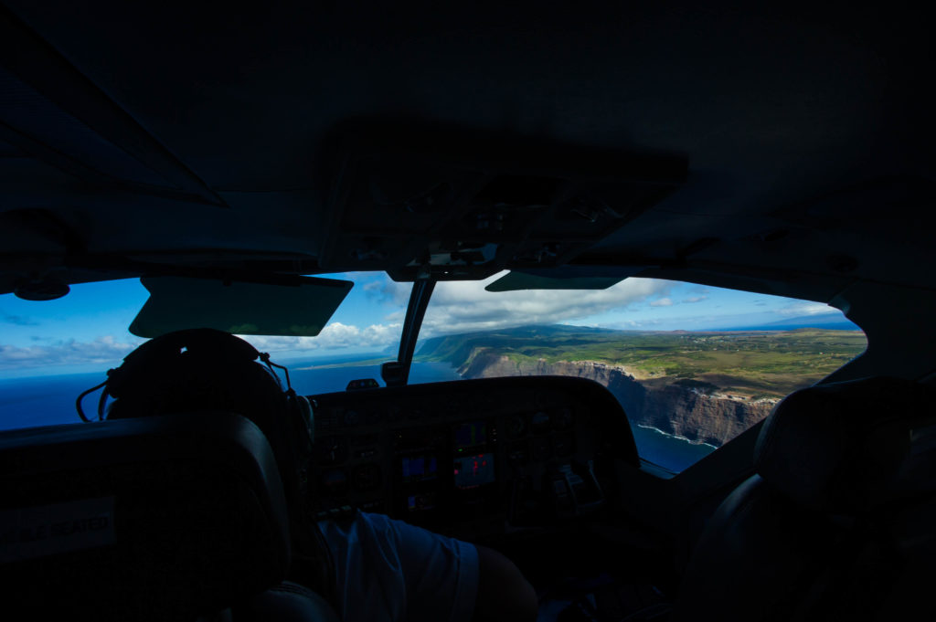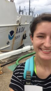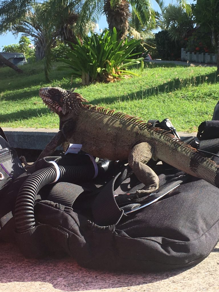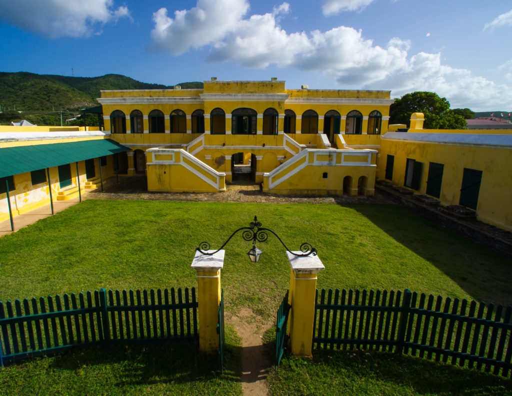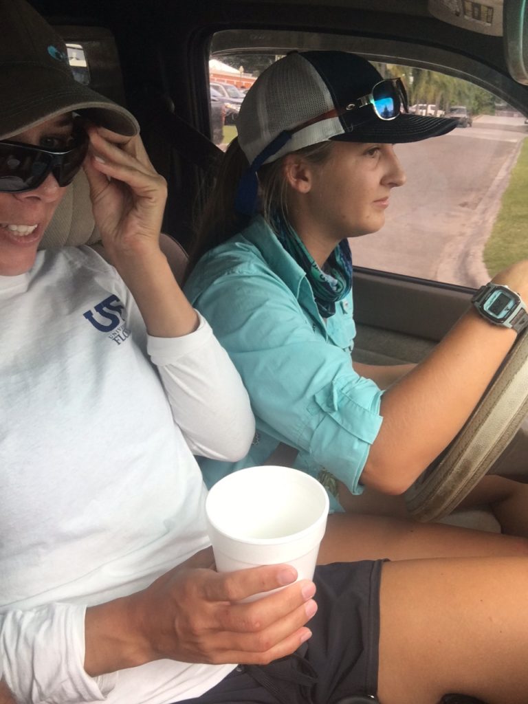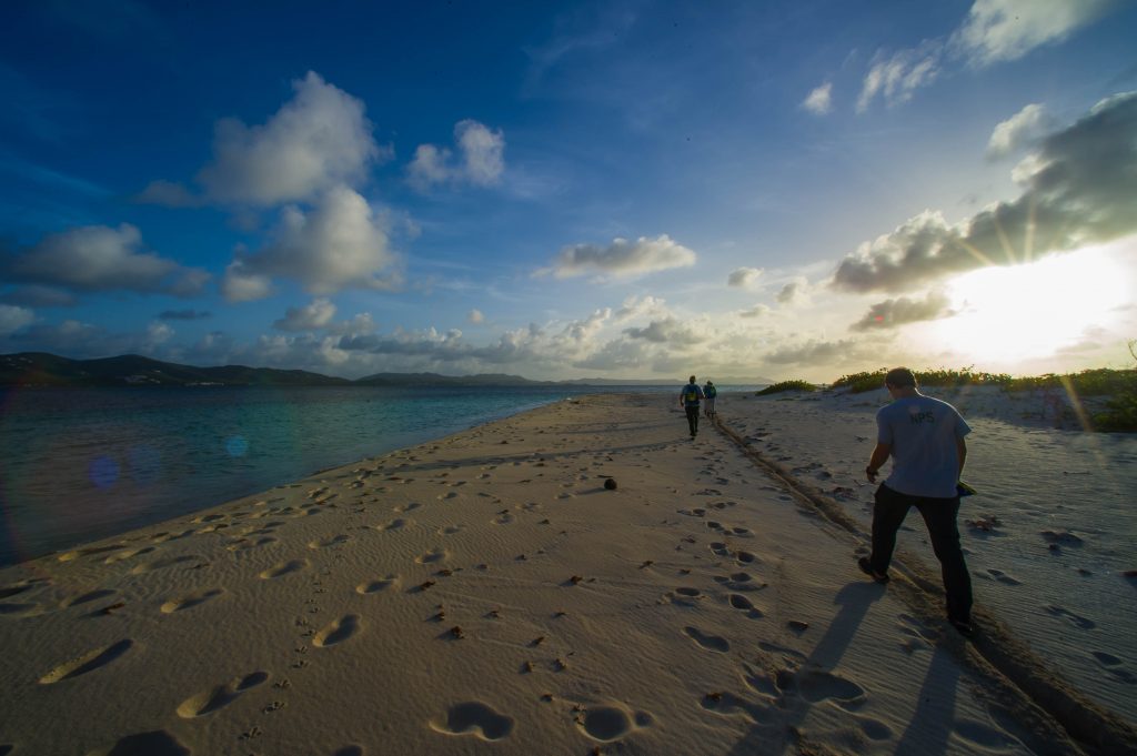
The sun hasn’t risen yet, but the sky is no longer completely dark. I’m debating whether it’s more blue or more orange after only getting 4 hours of sleep last night. I came in from St. John, US Virgin Islands to my home in Southern California last night at 1 AM, and now I’m driving highway 101 down to Channel Islands National Park (CHIS) headquarters.
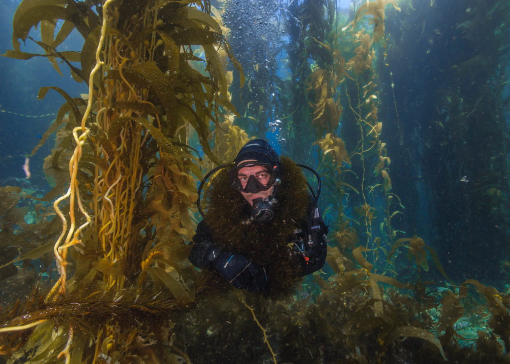
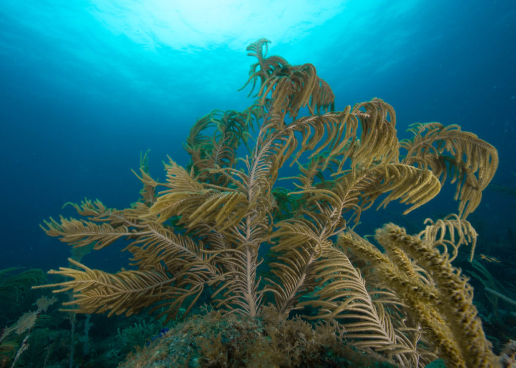
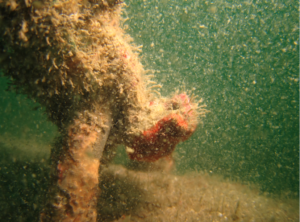
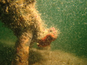
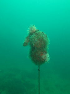
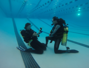
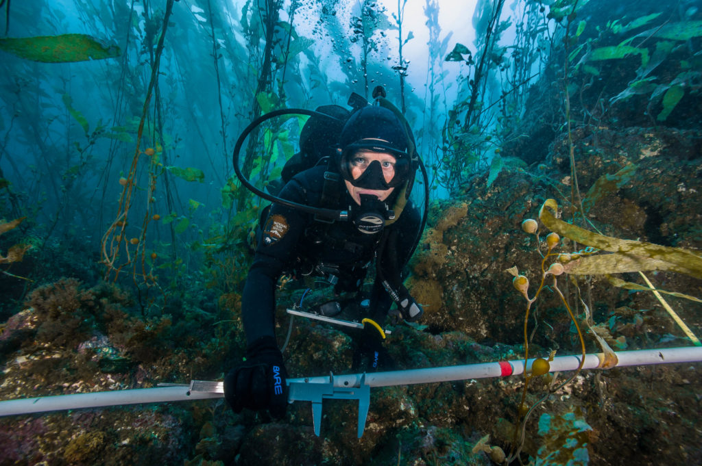
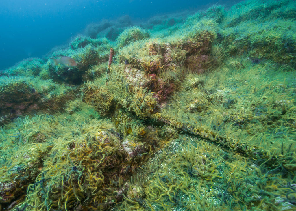
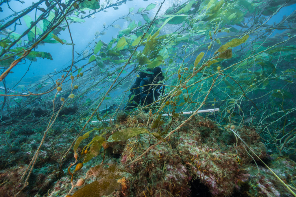
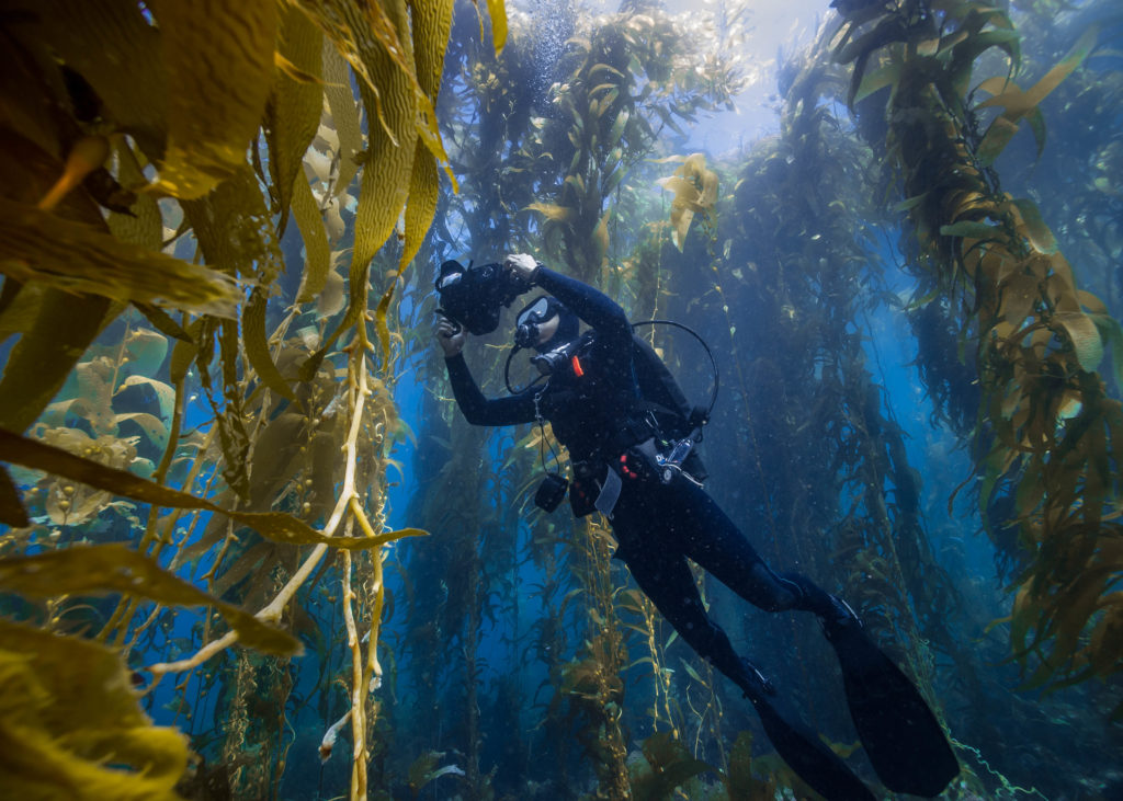
Feather boa kelp adds style to any underwater outfit. Here I am in my natural habitat. Photo by Kenan Chan / NPS.
I know where park headquarters is because I began working with CHIS this past spring. In fact, they blue carded me (gave me National Park Service diving credentials). I’m excited for this week and working with the park on their long-term kelp forest monitoring project (KFM). Not only I am familiar with the marine environment I’ll be diving in this week, I know many of the people that will be on the boat.
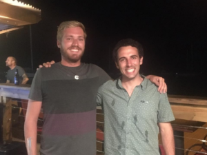
Cullen Molitor may have been born in the Midwest, but we’ll claim him for California!
“Cullen! Come here man! How’ve you been?!” The first person I see when I get to the park is Cullen Molitor and I give him a big bear hug. Cullen and I worked together on Catalina for two years. He’s a Midwesterner who has whole-heartedly embraced the laid-back west coast and is known to mumble hilarious dead-pan wise cracks. Cullen is one of the most talented divers I’ve had the privilege of diving with and I can’t wait to jump in with him this week.
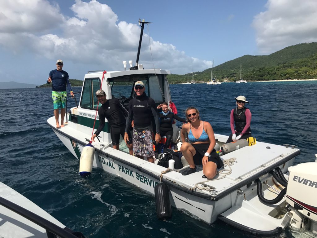
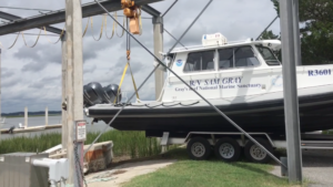
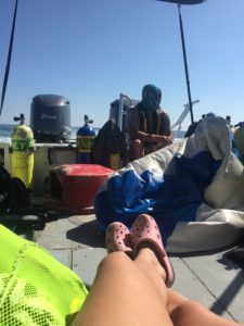
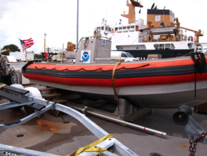
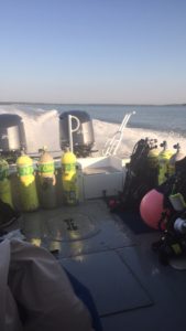
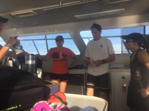
We begin loading up the Sea Ranger II, our boat that we will be living on for the next five days. As I begin putting giant coolers of food into the fridge, Kelly Moore pops up from the births below. “Ahhh!! Shaun!! So good to see you!” For me, “so good to see you” is perhaps an understatement of how I feel seeing Kelly. Kelly is the Park Dive Officer (PDO) at CHIS, my diving officer as a CHIS diver, and the reason why I am the Our World-Underwater Scholarship Society ® National Park Service Intern. She is the one who told me to apply in the first place, and I would never have done so without her encouragement. Kelly screams California all around, is bubbly ball of positivity, and is always excited to go in the ocean, no matter how many dives she’s had that day.
Kelly Moore is THEE woman! I owe quite a bit to this gal and was so excited to see her at CHIS.
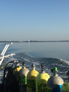
Once the boat is loaded, we are underway in route to Santa Cruz Island. My plan was to sleep the entire way there, but I’m having so much fun talking with everyone on the boat and hearing about the dive plan that sleep isn’t an option. After being called out all too often in the Caribbean for my California flavor, I feel amongst my people at CHIS.
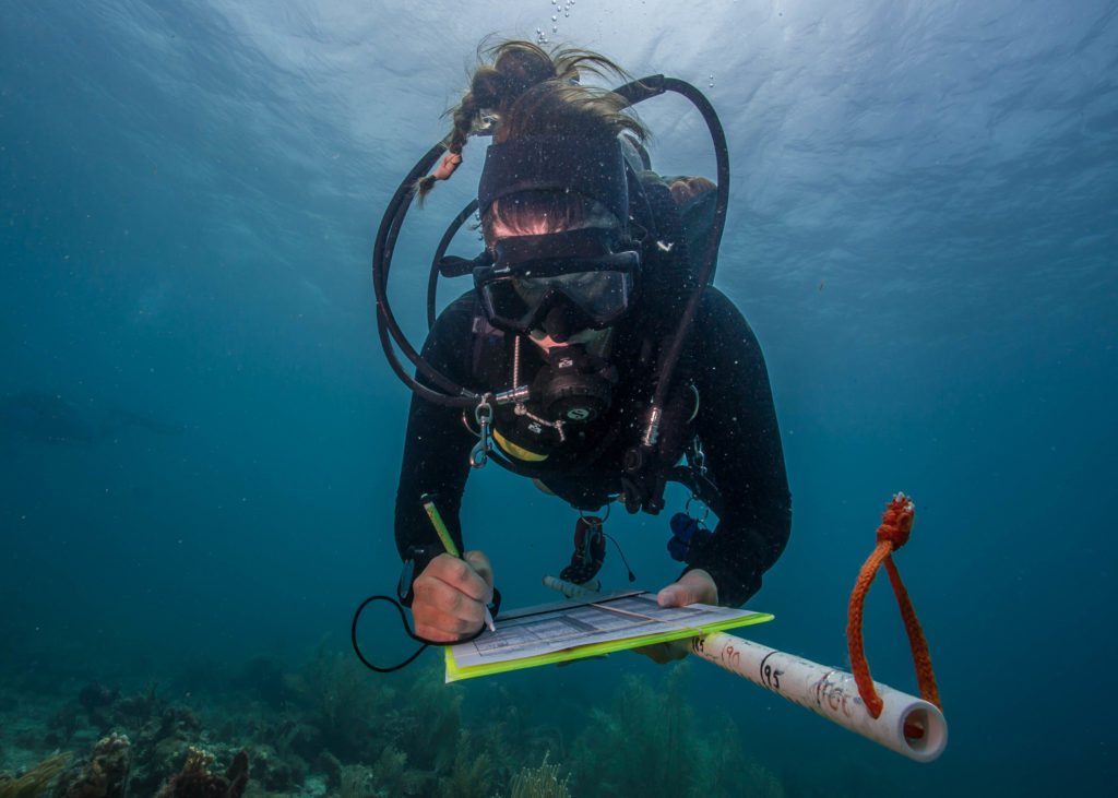
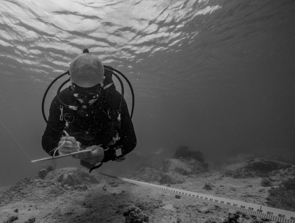
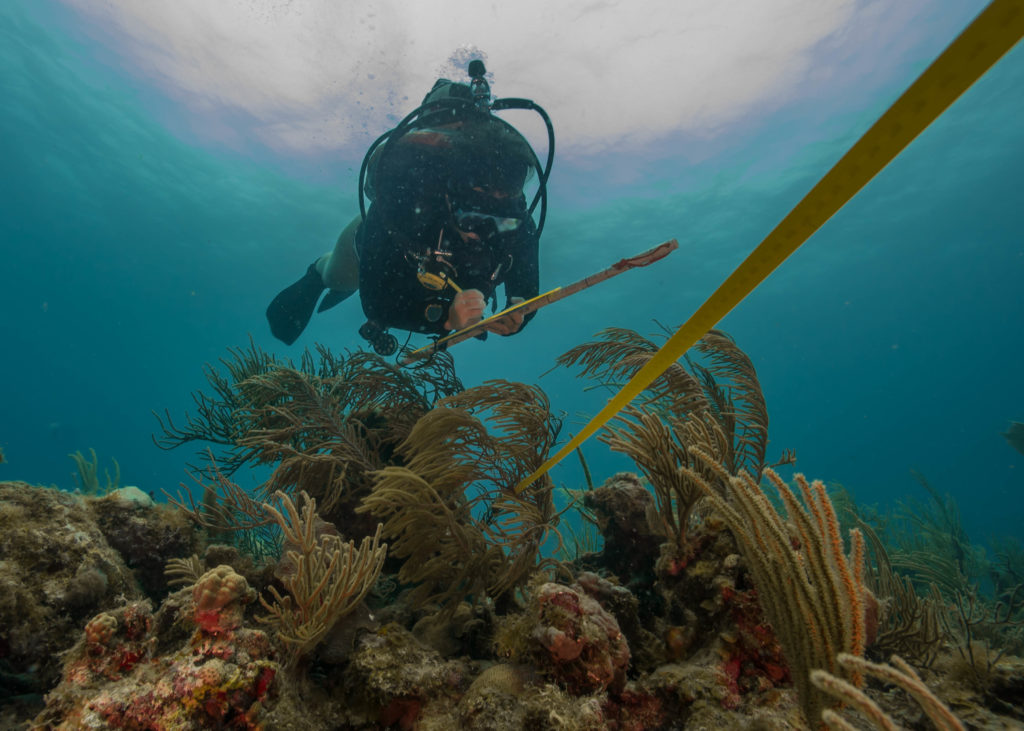
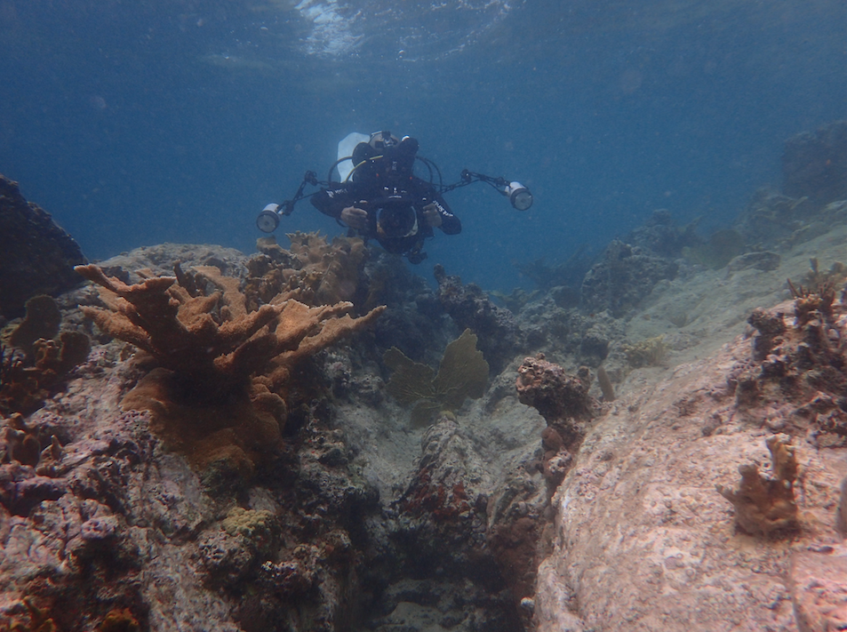
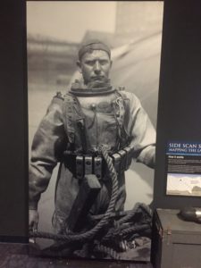
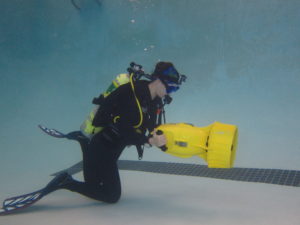
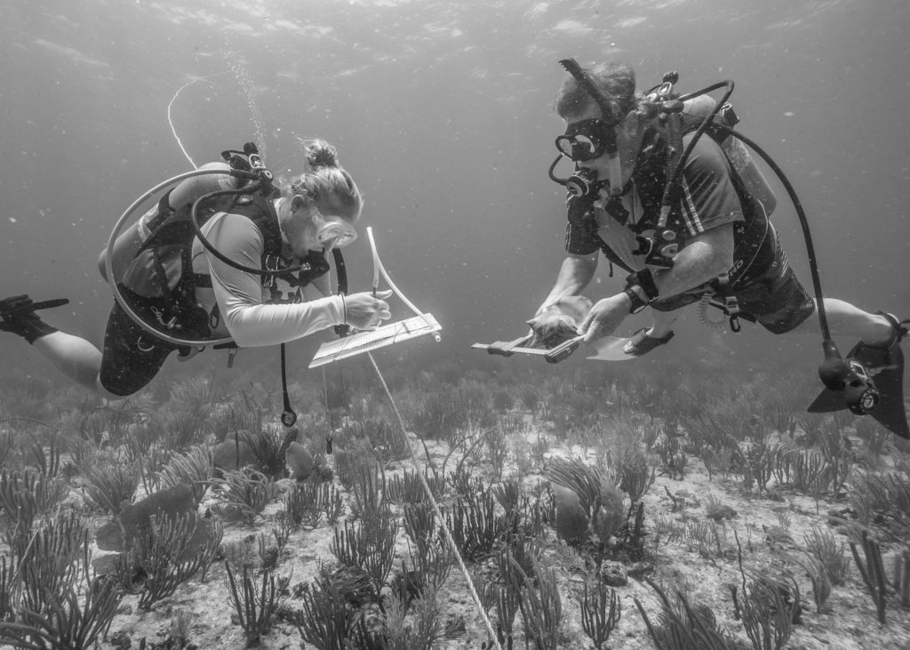
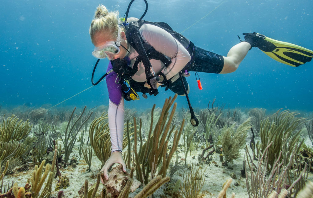
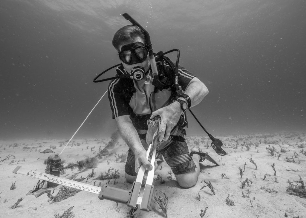
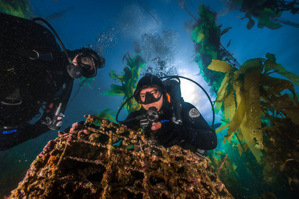
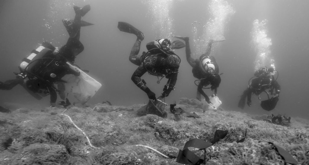
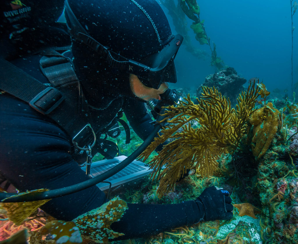
Josh Sprague, marine ecologist at CHIS, teaches me the monitoring protocol on the way out to the islands. The protocols are for the KFM program, a long-term ecological monitoring program that began in 1982 in the park. The operation on the Sea Ranger II is the most complex and impressive monitoring operation I’ve ever seen. This is the first park I’ve been to that uses a full-face mask surface-supply system. It is a boon to the team’s productivity. The diver using the full-face mask has a communication device in the mask so that he/she can talk to the surface support person. In turn, the surface support person is writing down all of the data that the diver is giving them. Using this system, the team is able to collect approximately 6 hours of underwater data in just one hour since the diver doesn’t have to stop every few seconds and write something down.
Josh Sprague working on a full-face mask survey.
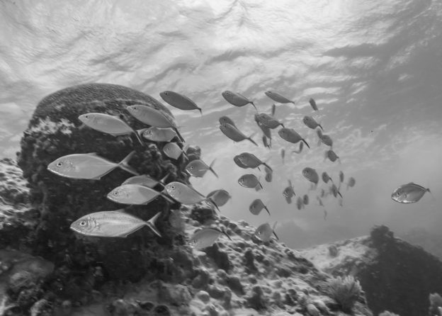
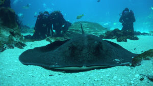
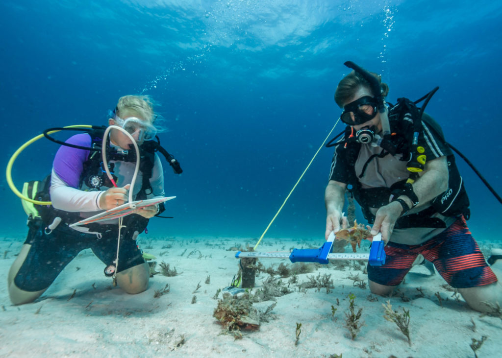
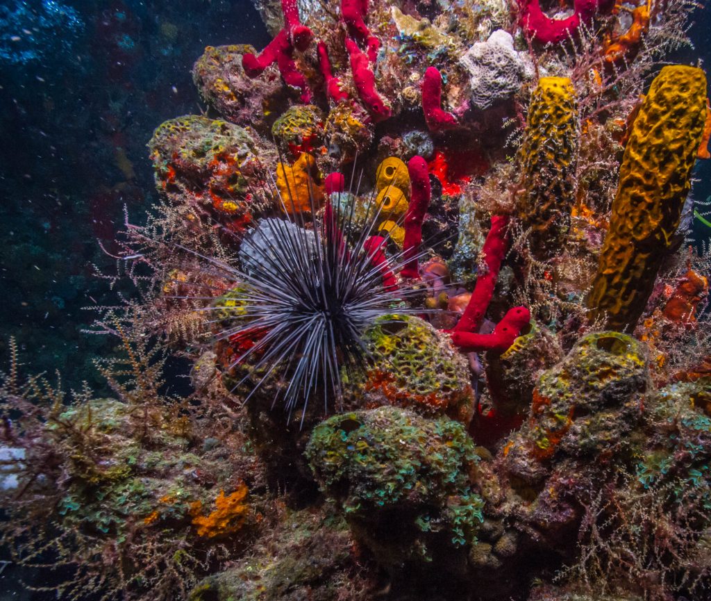
The full-face mask diver and several other divers on open circuit scuba gear (“normal” gear) conduct benthic (seafloor) surveys, taking data on sea urchins, algae, and anything else that composes the bottom using several different methods at each site. Urchins are particularly important in the Channel Islands. Over the past 50+ years, we have overfished many urchin predators. In turn, urchin populations have exploded. Urchins eat the kelp that are the foundation of kelp forest ecosystems and provide habitat and food for every other organism in the system. Too many urchins can spell bad news for a kelp forest.
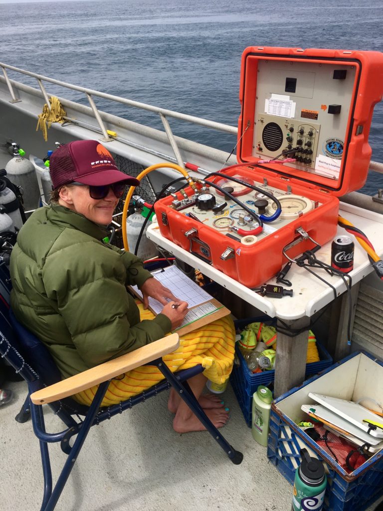
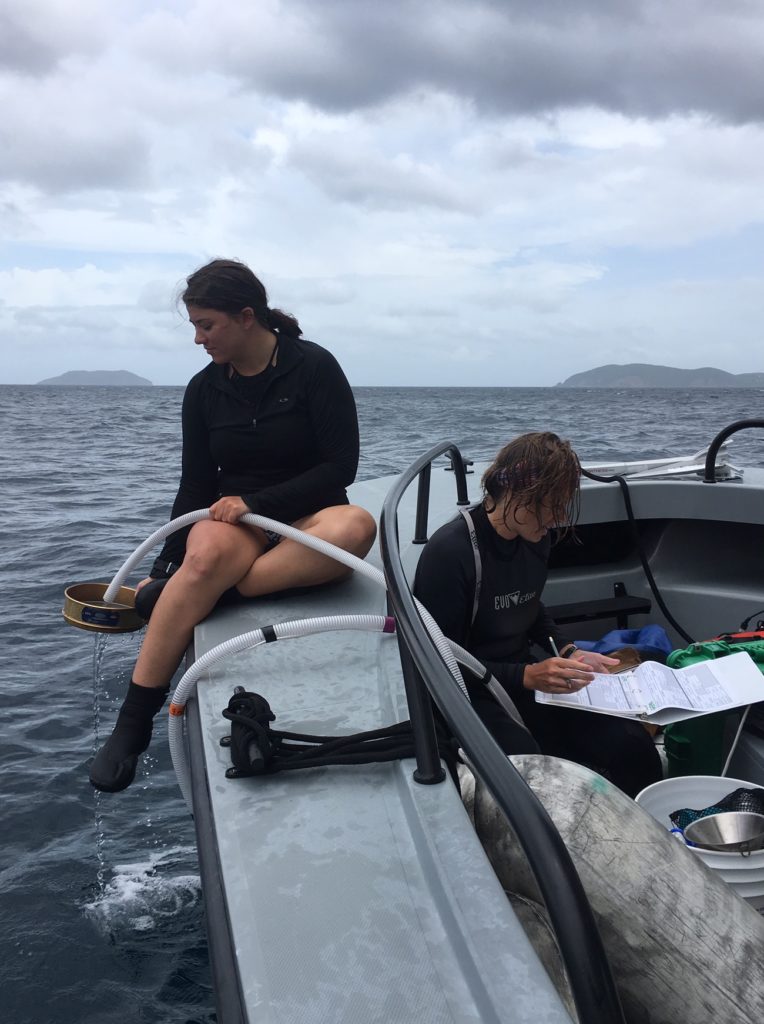
Kelly Moore staying warm as the surface support data-taker for the full-face mask diver below. She can communicate with the diver via the machine in front of her.
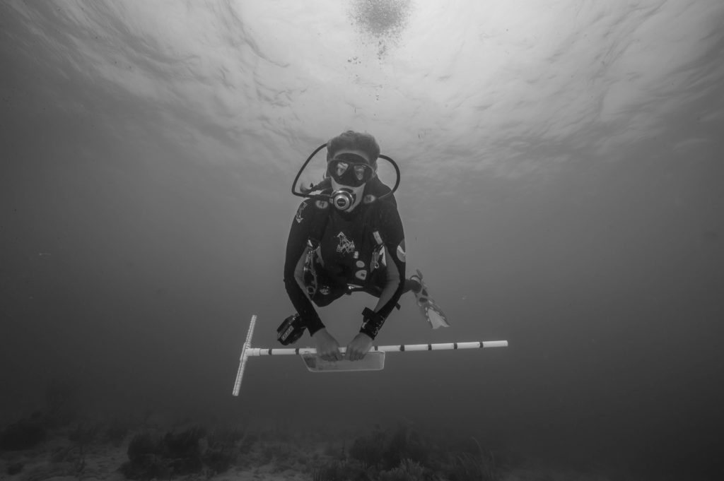
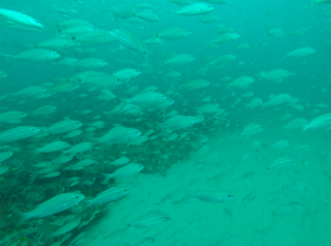
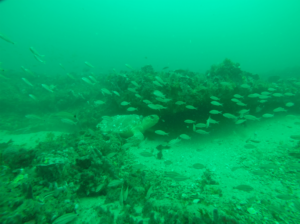
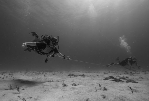
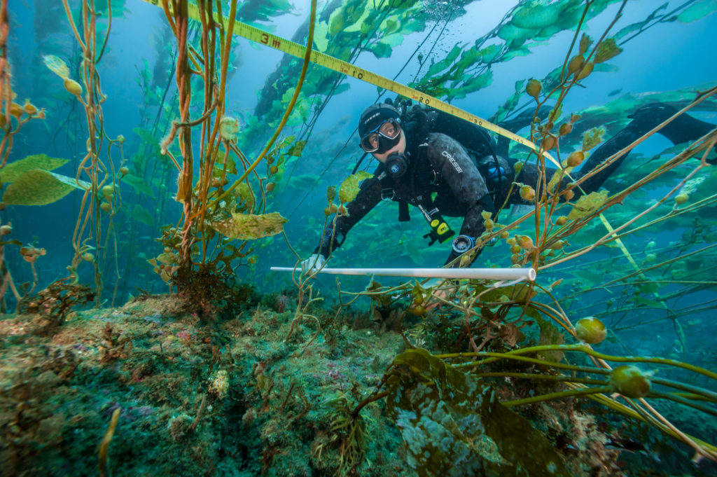
There are also at least four divers that are completing a fish survey. These surveys are challenging and what I have been tasked with. They are timed at 30 minutes and taken along 10m on each side of a 100m transect tape (underwater measuring tape). This means fish divers are surveying 2000 square meters and to the surface in just 30 minutes while writing everything they see down! It can be particularly hard when there are 500+ blacksmith above you. How sure can you be that your estimate was good? What does 500 fish really look like?
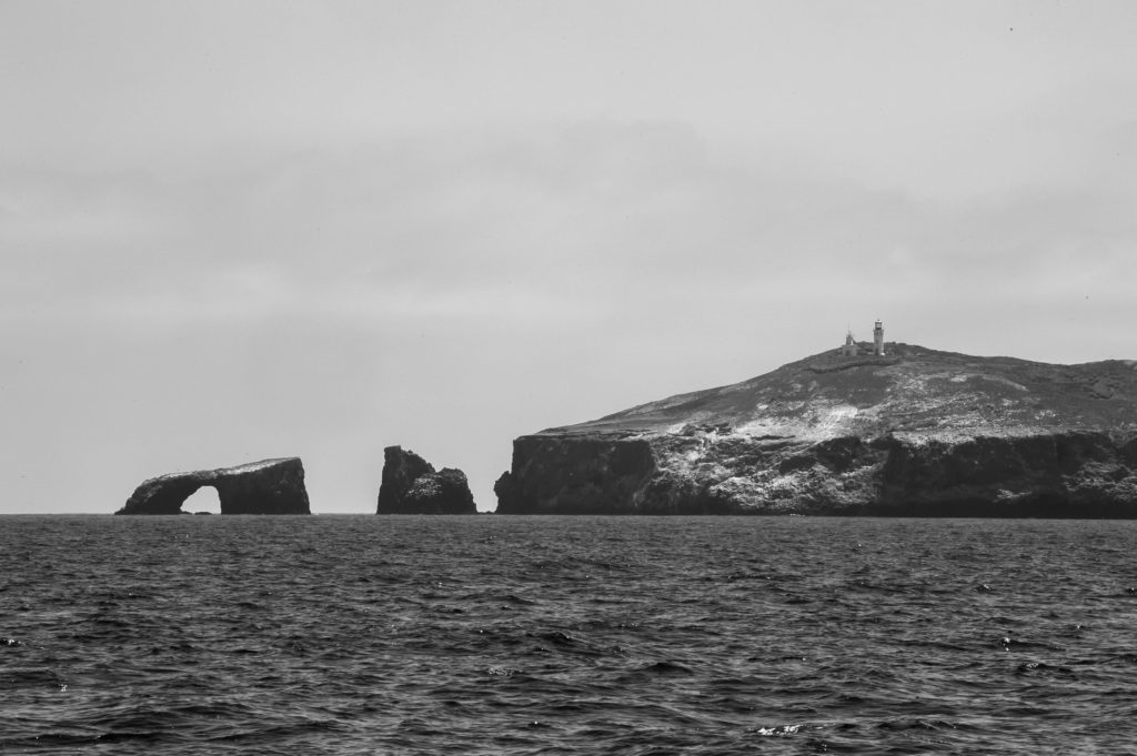
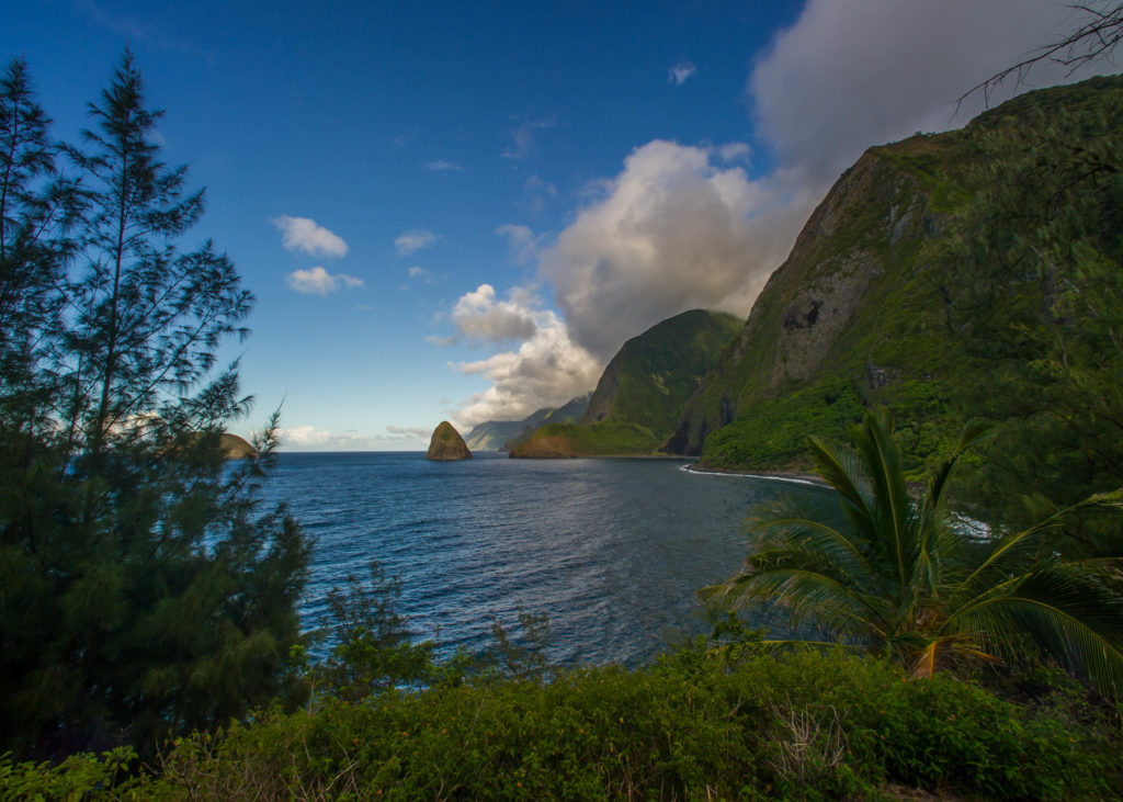
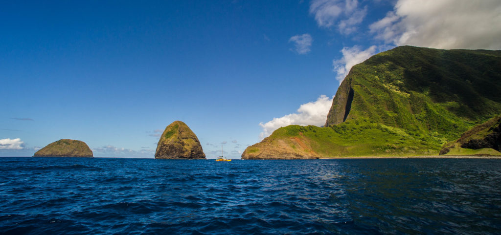
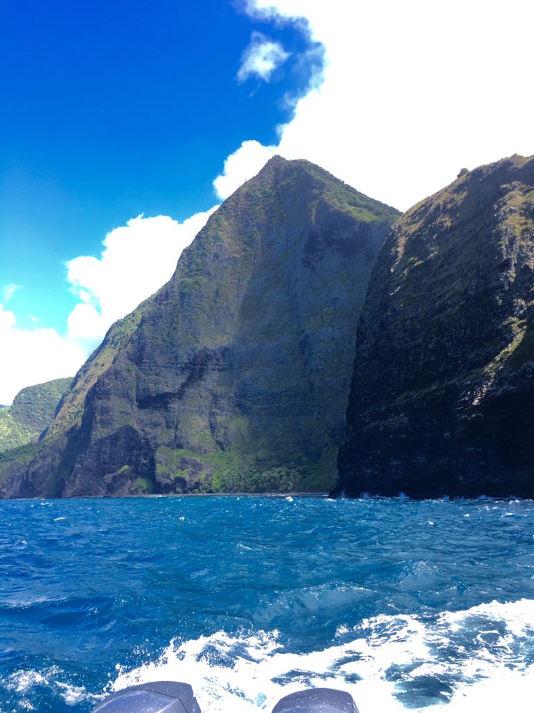
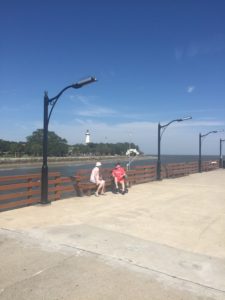
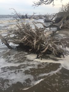
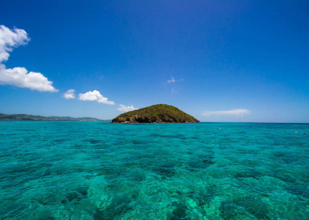
Anacapa Island from a distance.
All of these measurements give a complete picture of how healthy an ecosystem is, what processes are occurring in that system, and why it might be that way. Over long periods of time, the CHIS team can develop performance metrics for the submerged portion of the park and identify patterns in ecosystem deterioration and recovery. Because they have data from a few decades now in what is the largest marine dataset in the National Park Service, they can quickly determine whether something is an anomaly (a big deal, if you will) or just part of the natural cycle of that site. If there is an anomaly, CHIS can look at old data to figure out why and what can be done about it. Ultimately, this project informs management decisions made by the park and helps the park reassess old decisions to create the healthiest park possible.
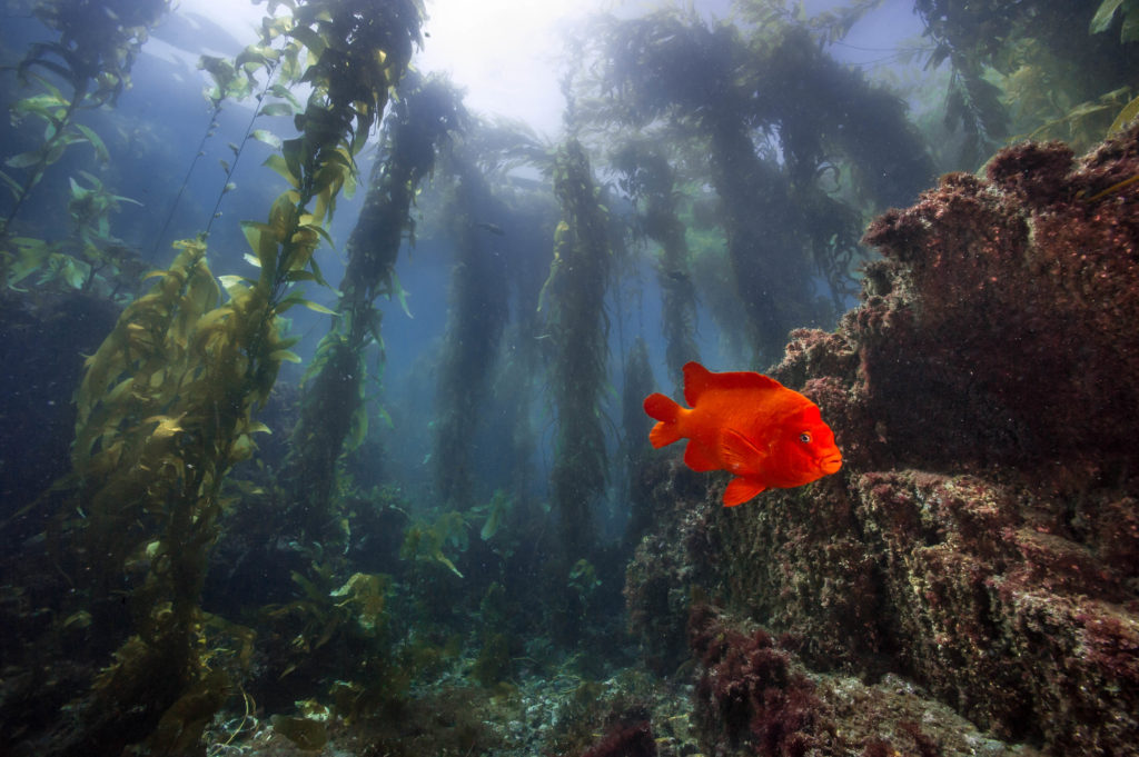
One garibaldi! Fish surveys are never this easy…
As we are going over fish surveys, David Kushner, Regional Diving Officer and head of the KFM project, interjects, “how confident are you on fish ID?” “I’m pretty good on my pacific fish,” I tell him. “I need you to be 100% confident or I can’t have you taking data.” David is serious about his data, as any good scientist is. Though he can be frank and serious at times, he is also one of the biggest jokesters on board. He has the energy of someone half his age and anytime he has the chance to dive or snorkel, he’s like a kid waking up on his birthday. As the rest of the crew is catching up with each other after the weekend, David says half jokingly, “you guys have 5 whole days to talk about your weekend!”
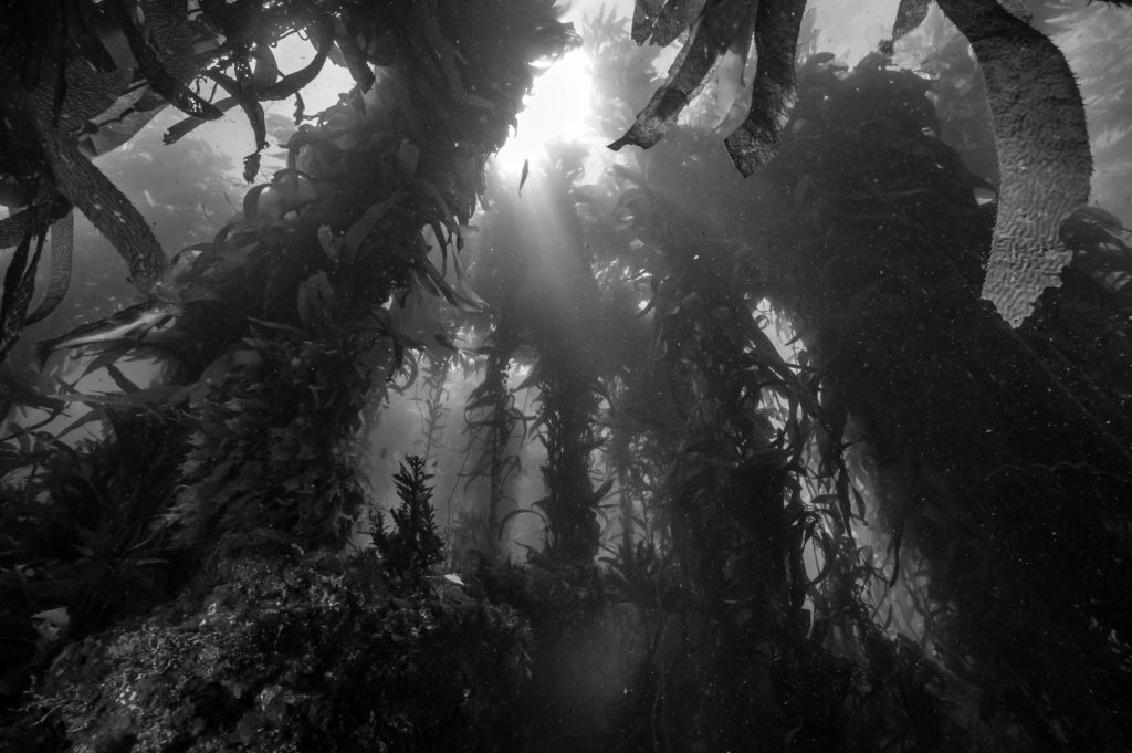
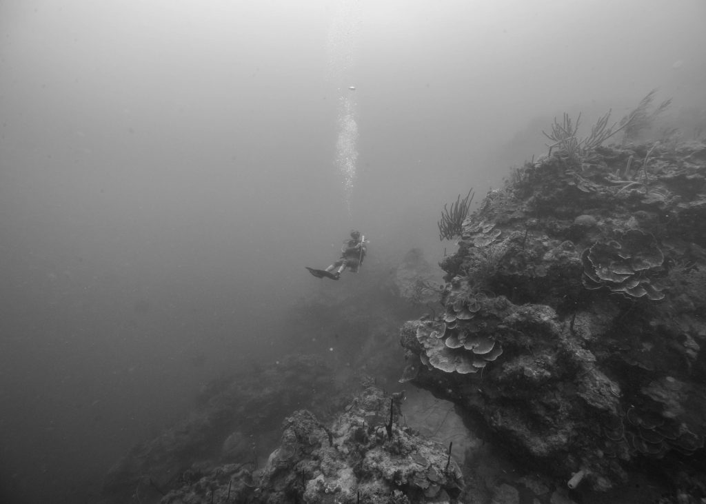
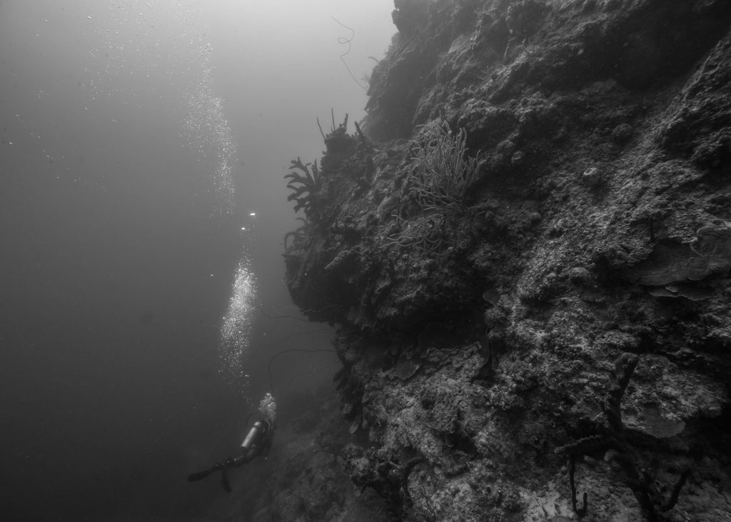
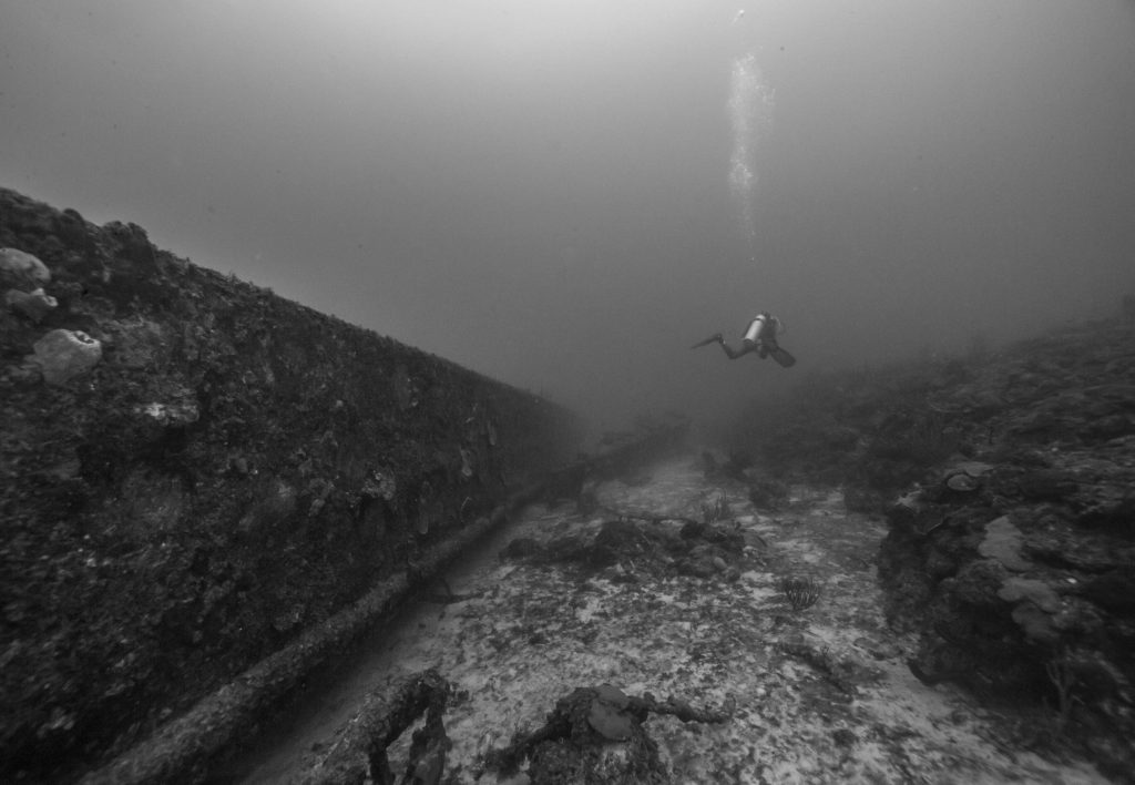
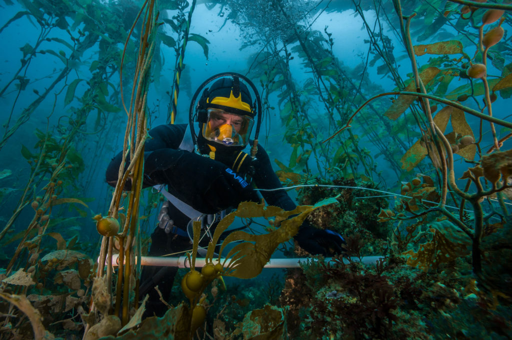
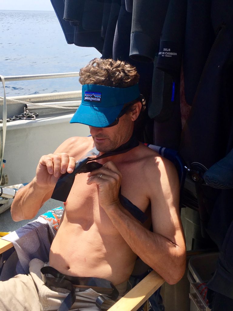
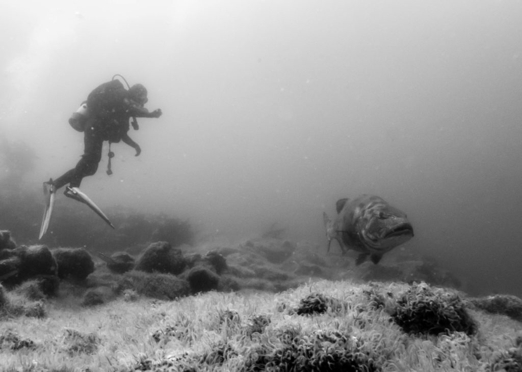
Ron Hill of NOAA Galveston fame once asked me, “is diving in the kelp forests as spooky as it looks?” I have never thought of it that way, but I can see why he does.
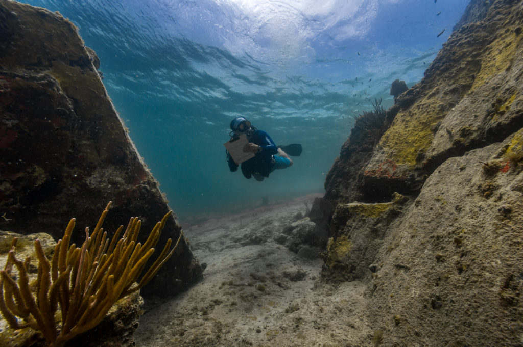
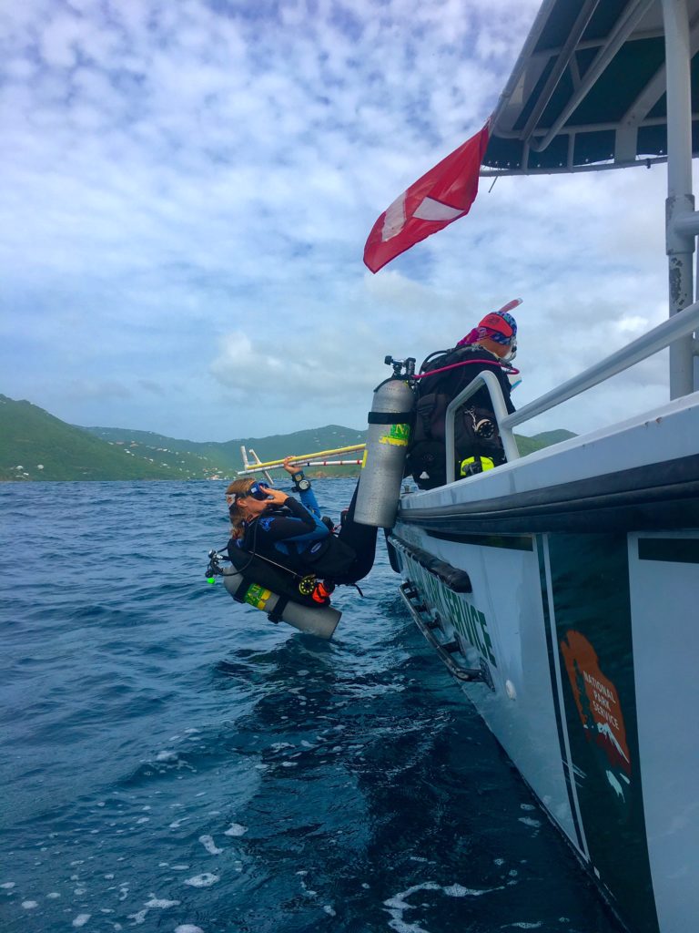
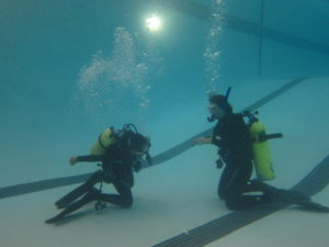
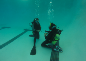
As the Sea Ranger pulls into Little Scorpion cove on Santa Cruz Island, we prepare to dive. The first person in the water is Kenan Chan. “Yewwwweeeee Ahhhhh AH AH AH AAAHAHAHA!” Kenan screams through his full-face mask rig as he enters the cold water.. After 6 weeks in Florida and the Caribbean, I have fully forgotten what it’s like to put on 12mm of neoprene. Admittedly, this is the one part of California diving that I did not miss.
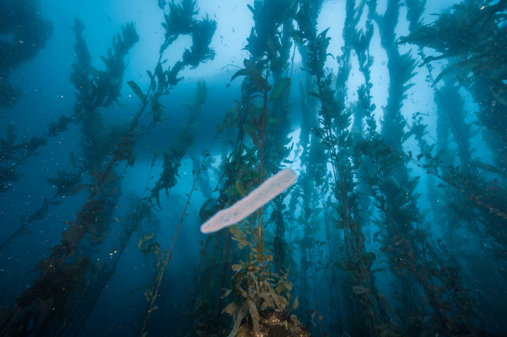
It’s always strange to hop in the water and get pelted by hundreds of these floating pyrosomes (tunicates) on Anacapa island.
My first dive was with Josh and David to conduct Roving Diver Fish Counts. I am supposed to stay with them. I see 5 kelp bass, 100 blacksmith, and a kelp rockfish. I start writing the data down on my slate (underwater paper, more or less) and when I look up, David and Josh are gone. I decide to keep taking data while swimming quickly and looking for them since there were other divers counting fish next to me. I continue my survey, looking down under overhangs and up towards the surface and pair back up with Josh and David.
A man and his honey. Josh Sprague forgoes the chips and dried fruit after a dive and heads straight for the honey.
I surface and David looks at my data, comparing it to his and Josh’s. “Not bad for your first time!” After our dive, it’s time to take part in a longstanding CHIS tradition- snacks. The CHIS team takes their snacks seriously, so much so that the entirety of Trader Joes is stocked in the cabinets. As I’m digging into some dried tangerines, Kelly says, “I did my best to pick up hummus, tofu, and all sorts of vegan goodies for you! They have your initials on them!” She went out of her way to accommodate my diet. The biggest downside to eating a (mostly) vegan is feeling burdensome to others. Kelly assures me that it was no burden. Admittedly, I really appreciated the effort. It is awesome to have some delicious snacks after a dive.
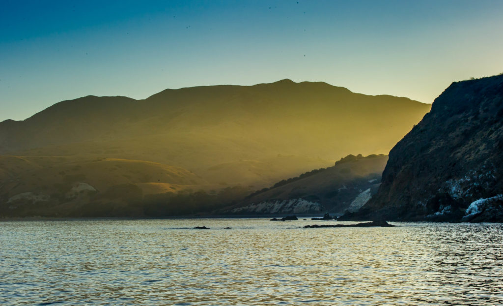
The view of Santa Cruz Island from our anchorage.
The sun is setting over the front side of Santa Cruz Island as we prepare to anchor in a protected bay on the backside. Cullen and I are waiting for Captain Keith Duran’s order to throw the stern anchor in. “Keith is pretty chilled out, huh?” I mention to Cullen. Cullen responds, “oh Keith? He’s super chill.” This really means something since Cullen is one of the most laid back people I’ve ever met.
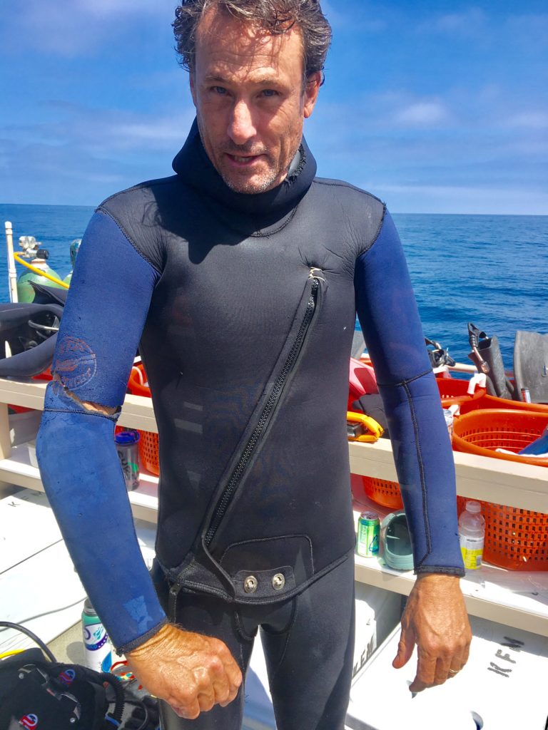
Broken wetsuit- no worries! That’s Captain Keith for you.
A bit later, Kelly starts making dinner. I start talking to Keith about surfing, where we have quite a bit of crossover in our interests. Keith is a long, lanky, extremely tan guy who is usually sports some board shorts and a plaid flannel. Keith and David make the perfect team, because Keith is the ying to David’s yang- David is more excitable and Keith is as cool as a cucumber. “I mean, west coast, you know? Got to be mellow,” he says with a laugh.
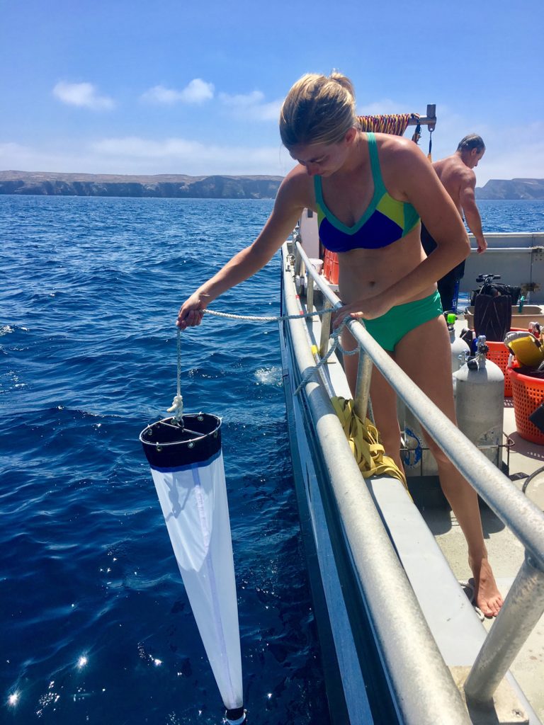
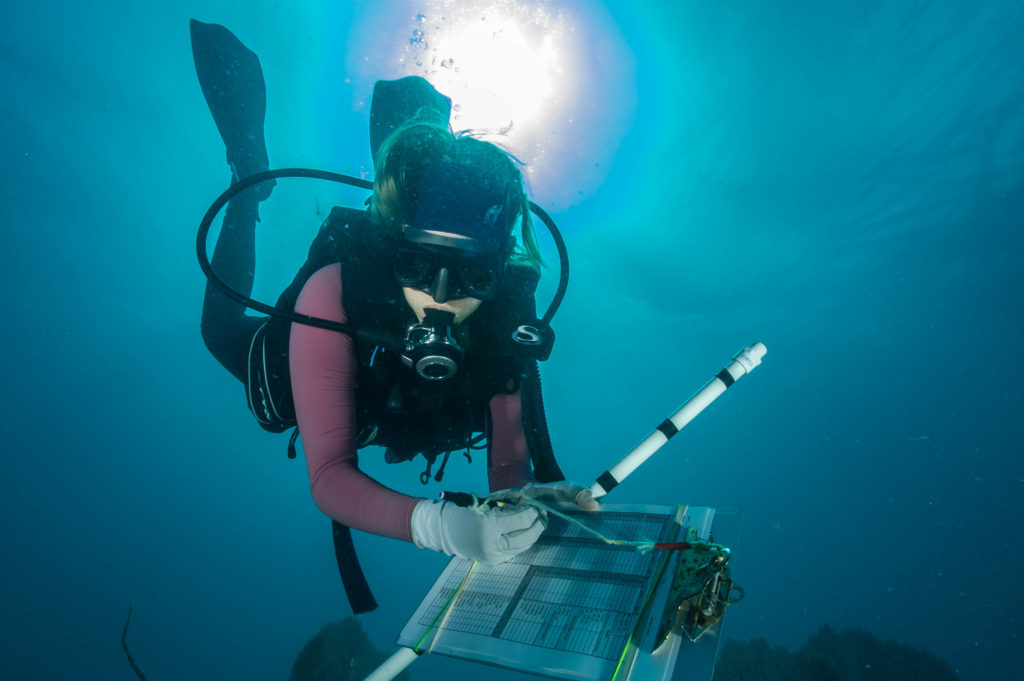
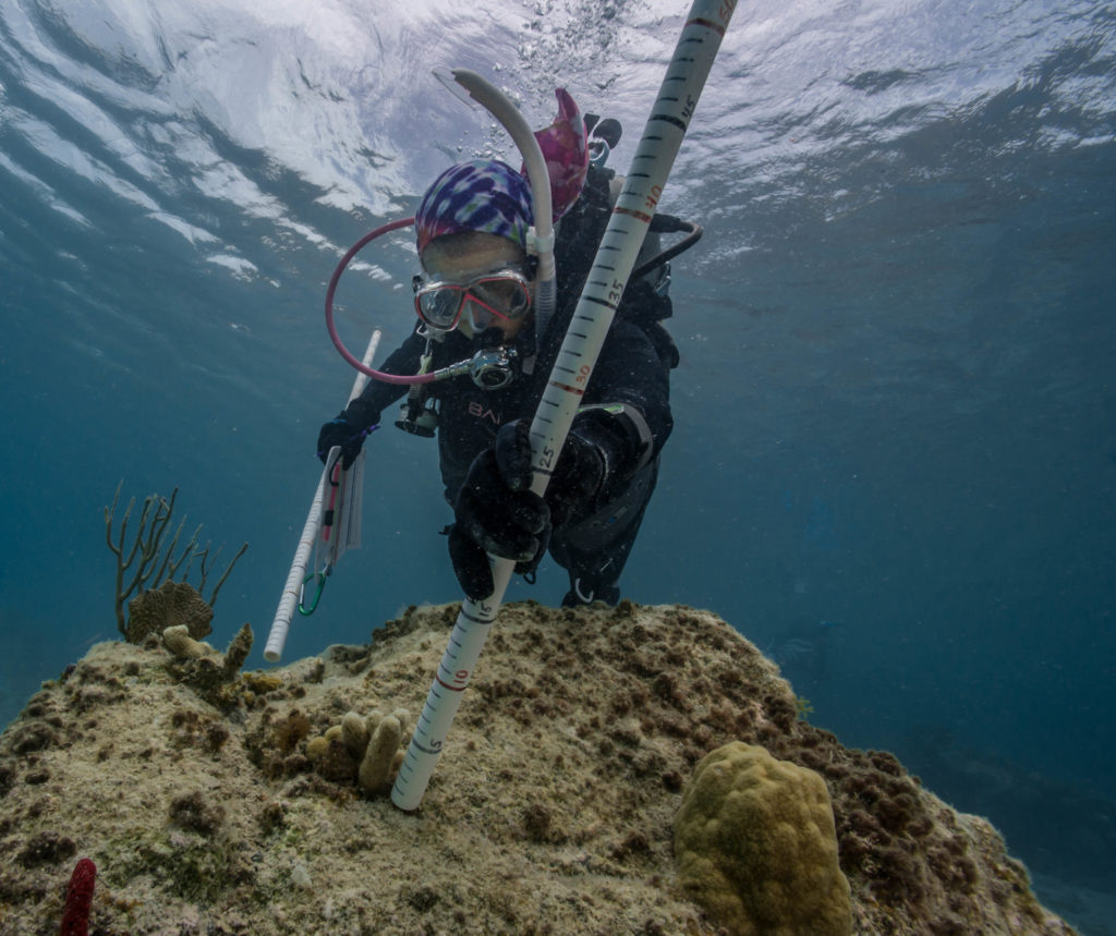
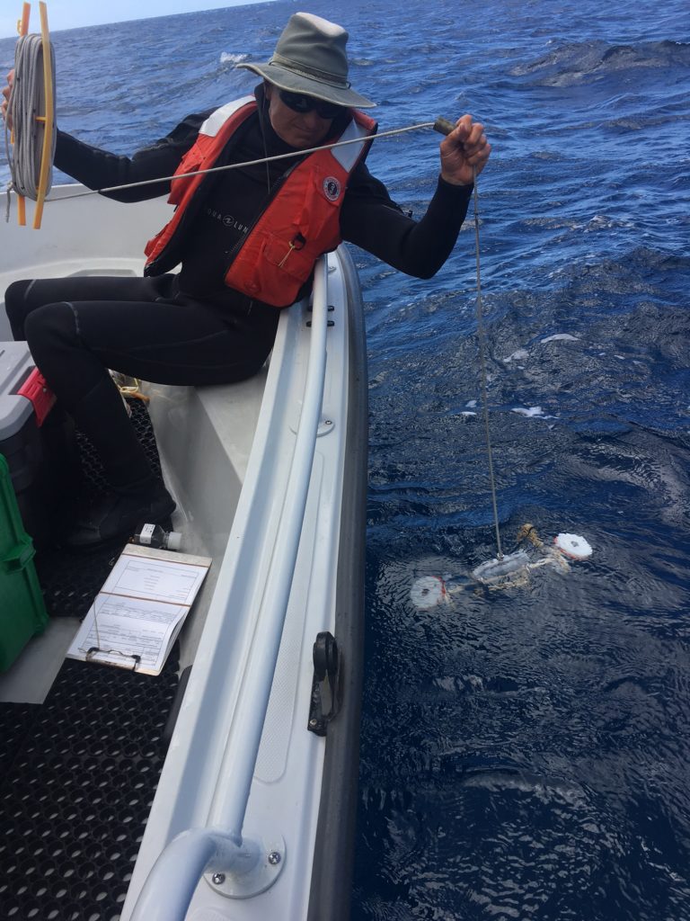
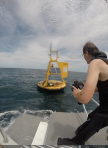
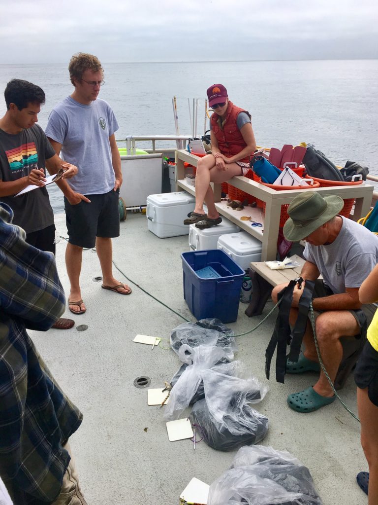
Katie takes a plankton sample.
Right on cue, David comes into the galley, still halfway in his wetsuit and announces to us (all in dry clothing), “who wants to go snorkeling?!” After a day of cold, wet diving and an evening of warm, dry relaxing, David doesn’t find any takers. “Cullen! Come on, you know you want to go!” He might have convinced Cullen if dinner wasn’t ready. After a massive, delicious dinner, we all knock out for the night.
I hear the engine start and wake up. It’s 7:30 AM. All the other births are empty, I’m the last one up and semi-caught up on sleep now. When I walk upstairs into the galley, I see Kenan and Cullen along with two of our other crew mates, Katie and Connor, doing squats on the back deck. “We’re doing the squat challenge! Want to join us for some morning squats?” Katie asks me. Usually, I would accept. However, I’m still mostly asleep and Kelly cut and beautifully plated a pineapple.
“Title this one, ‘there’s a lot of love aboard the Sea Ranger II'” – Kelly Moore. David and Kenan keep us all laughing.
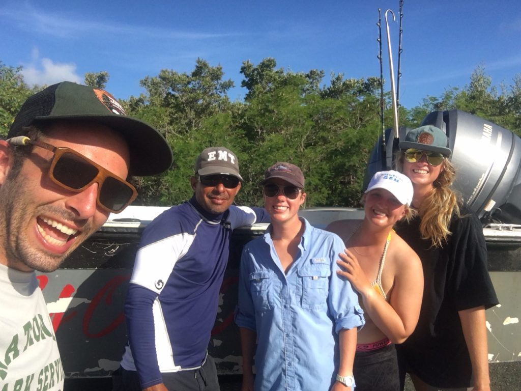
Once we get diving, I’m diving with Kenan and Connor. Kenan and I met during my blue card training, though this is his second year working on the KFM project. He and I get along quite well. He is a photographer that loves shooting surfers and went to school with one of my housemates. Kenan and David are certainly the two most charismatic people on board. As such, they like to give each other a hard time occasionally and have a brotherly sort of relationship over the last two years.
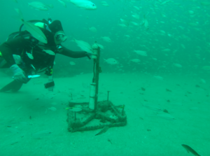
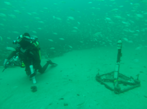
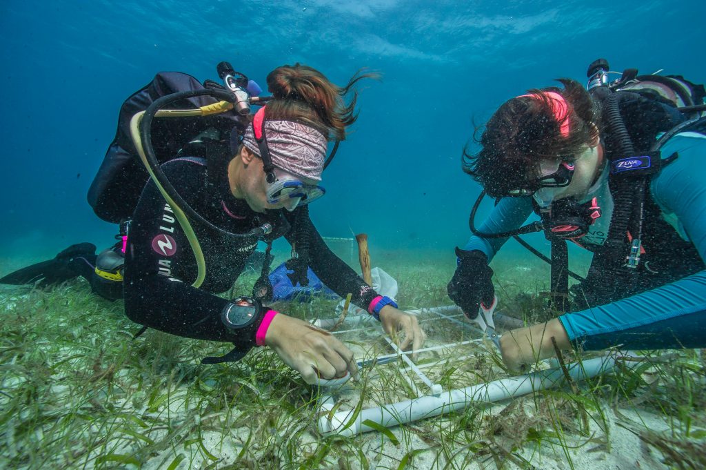
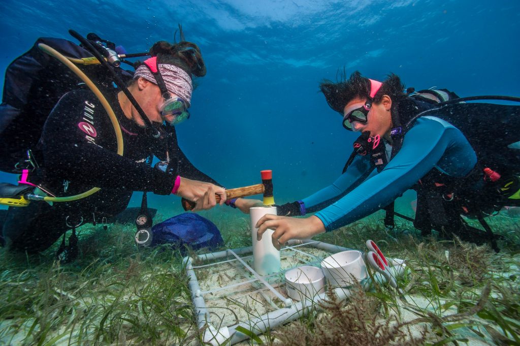
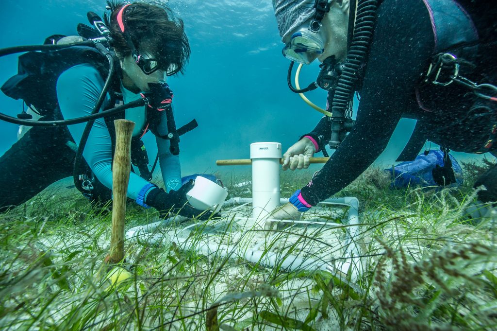
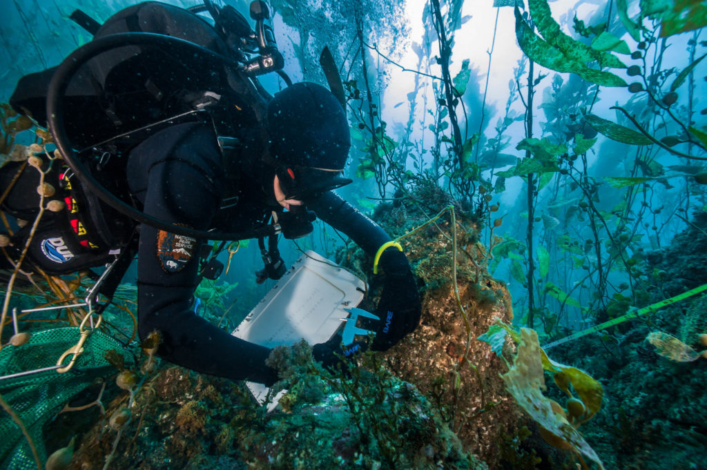
Kenan and Connor prepare to open up an ARM.
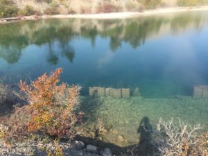
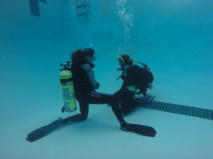
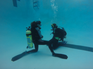
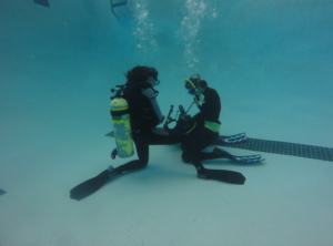
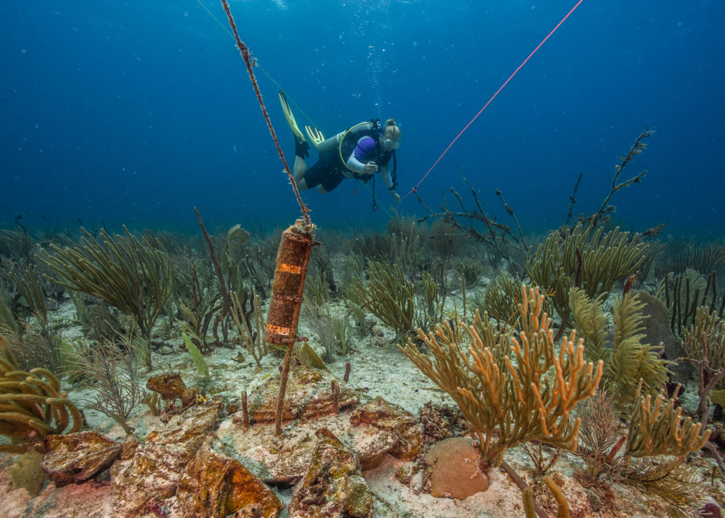
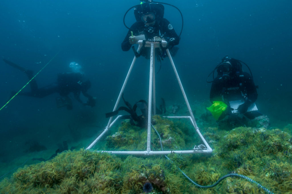
We descend and look for several ARM’s (artificial recruitment modules) on the seafloor. The ARM’s consist of a log cabin-like cylinder block structure contained inside a metal cage. Once we find our first one, we take all of the cylinder blocks out of the cage, record and measure every animal that is living in the structure, and then put all of the blocks back inside the cage how they were. The purpose of this is to get a snapshot of the diversity, abundance, demographics and distribution of organisms that are settling in crevice habitats on the reefs that we don’t sample using the other protocol.
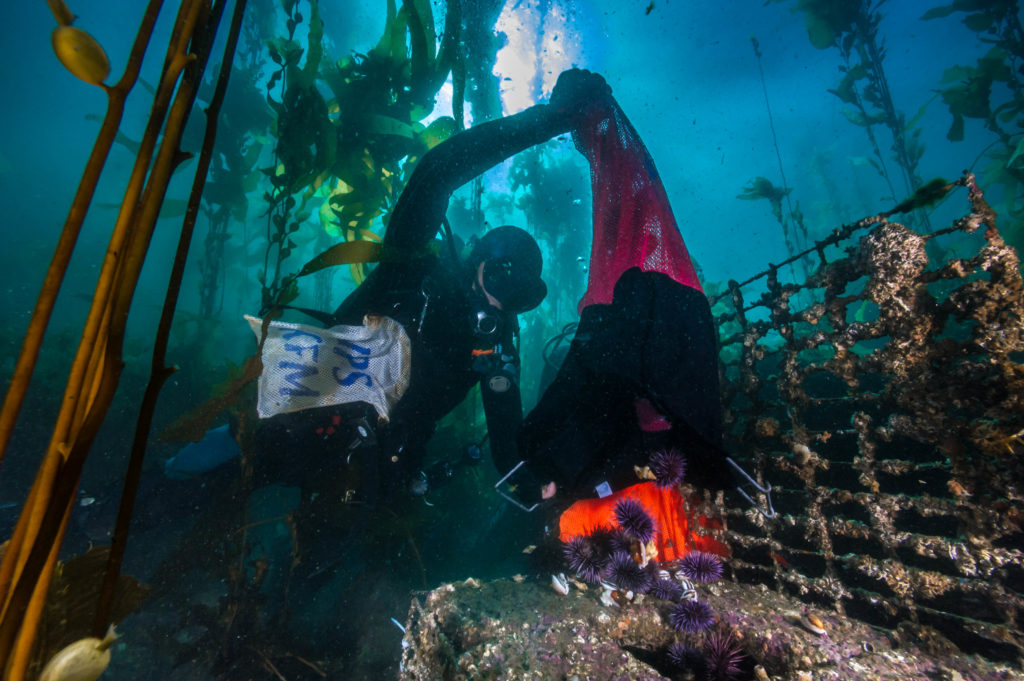
After all the blocks are put back into the ARM, the creatures go back in!
We have just finished dinner and Kelly is keen to play some games. I’m easily rallied and Katie and Kenan are as well. This is also Katie’s second year with the KFM program. She is incredibly patient, self-motivated, amiable, and academic minded.
Kenan Chan checks out a pyrosome on the surface.
Kelly then pulls out a game called “Utter Nonsense,” where each player has to say a phrase with a specific accent like “Irish” or “giving birth.” It’s my turn to draw an accent card for the group, and I pick “New Yorker.” Everyone does a decent New Yorker accent- especially Keith who has a secret talent for accents. Katie is last to give it a shot.
She speaks at a blinding pace with some sort of far eastern accent and says, “IT’S A GOOD THING YOU ARE JUST A METER MAID–” before she is interrupted by all of us bursting into laughter. Kenan, Kelly, and I are crying and everyone is doubled over with stomach pain- including Katie. At a certain point, we were all ready to stop laughing until Kenan says, “what was that accent?! It was Chinese!” and eeks out one of his signature high pitch laughs, which then spread to the entire group.
One woman’s trash is another woman’s treasure. Kelly clips her nails underwater after finding some new nail clippers!
This is really indicative of the closeness of the CHIS crew. They live together in small quarters, sharing meals and personal space several months a year. It’s trips like this that have been my favorite this summer- where I am living with the crew in cramped quarters. This sort of camaraderie can’t be replicated in an office and it’s the sort of thing that I love.
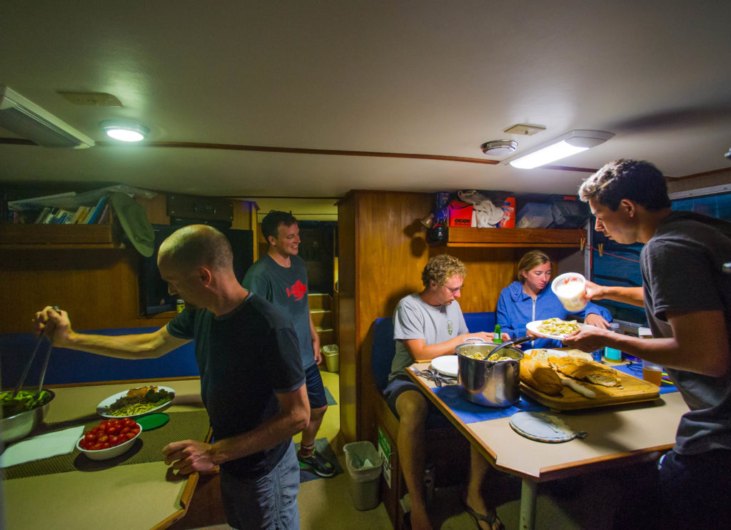
The big family-style dinners aboard the Sea Ranger II help bring the KFM family closer.
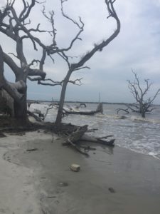
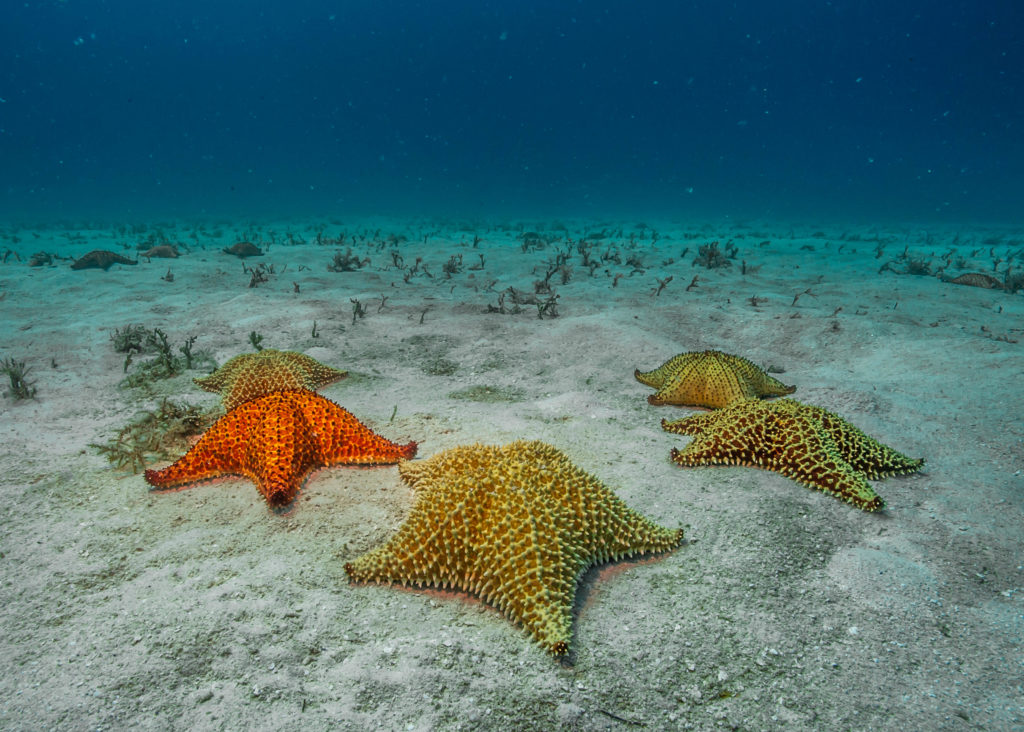
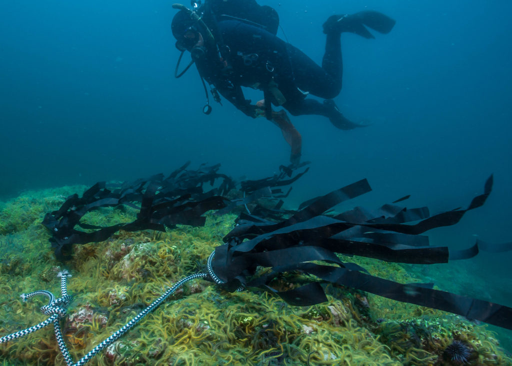
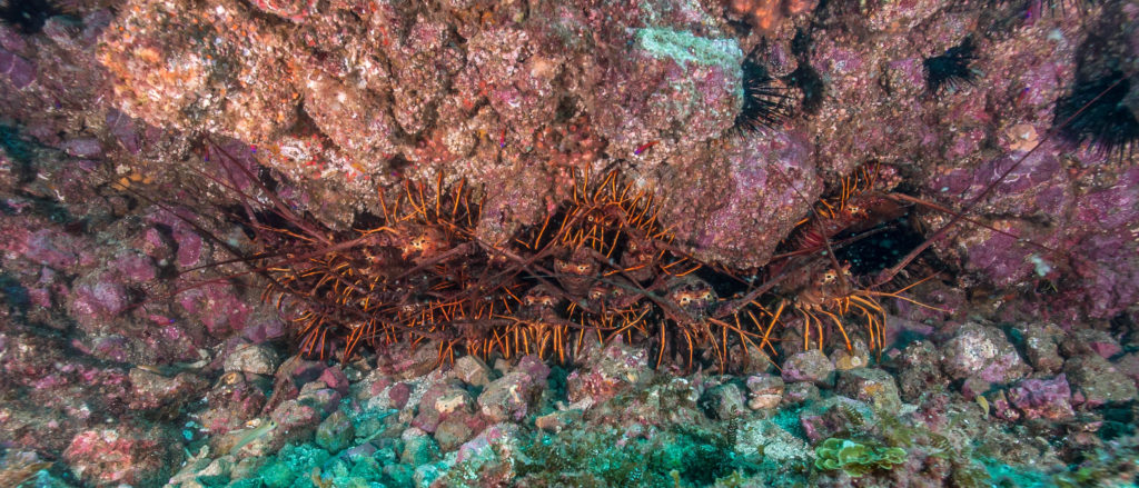
It’s a warm day out in the Channel Islands. Cullen and I are swatting kelp flies off of us while David pitches a pilot study to us under his wide-brimmed hat. The crew has been seeing brittle star barrens on the backside of Anacapa island. Brittle star barrens are what happens after urchin populations increases rapidly, eat all of the giant kelp (the foundation of a kelp forest ecosystem), and die off or leave. This barren, uninhabited landscape is prime for the taking, and brittle stars capitalize, disabling anything else (including kelp) from growing.
David teaches us how to make the fake algae.
David has noticed that there is a type of algae that the brittle stars don’t like. When the algae touches them, they leave. He has recreated the algae before using a variety of natural materials, all of which ultimately degraded or broke off, damaging other marine life. Plastic is his last resort, which he wanted to avoid, but he believes that it will work and the team can easily retrieve it when the study is done so no trace will be left.
The fake algae also makes a nice neck tie for the Captain.
The team starts assembling the plastic fake algae on a long weighted line, which will be laid on the bottom of a brittle star barren in an effort to displace the brittle stars. Though we are all focused on the task at hand, we can’t help but notice Connor’s sunburn. Connor is the only one aboard who spent some of his formative years on the east coast and this is his first KFM trip. Needless to say, his skin is not used to the sun on the Sea Ranger II. He’s a tall strapping lad who is wholesome in every way. He is just a likeable guy, so agreeable, polite, and hard working. He also has a super power of generating warmth underwater that isn’t shared by anyone else on board.
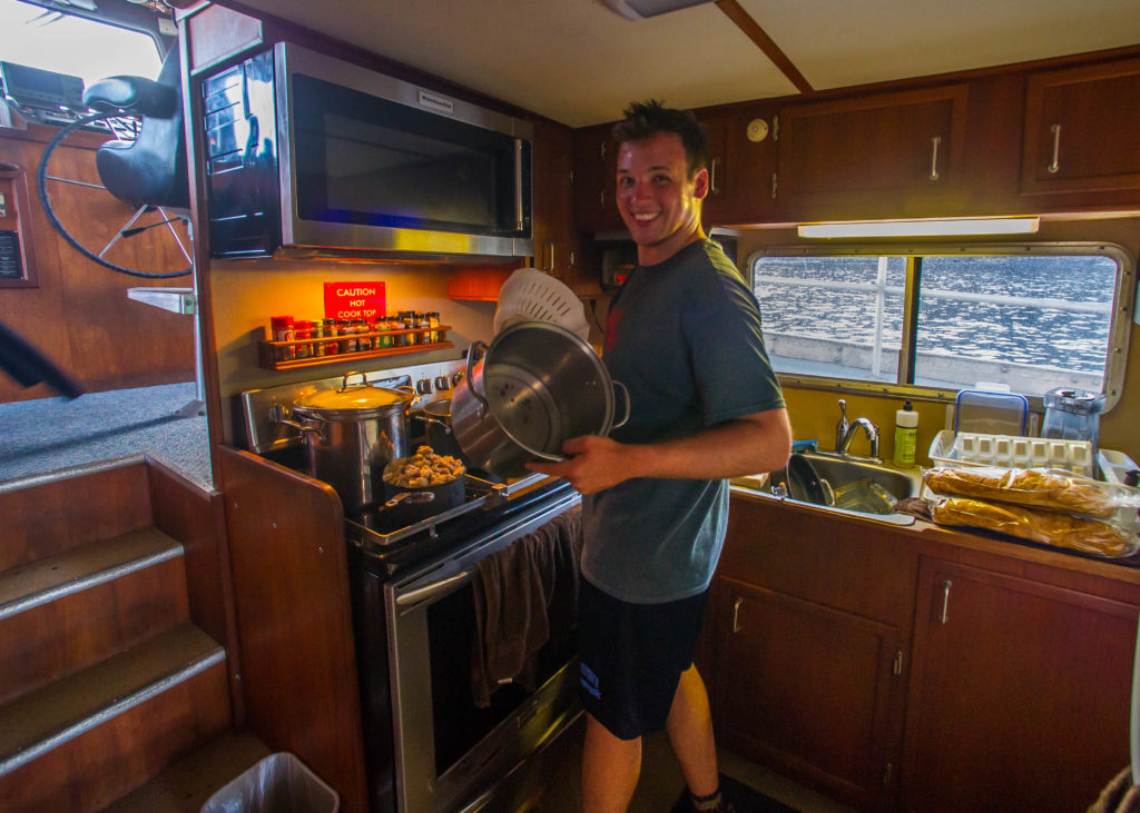
Connor’s advice on prepping dinner for a crew of 9? “Make way more than you think you need.”
As we set down our coconut La Croix’s (the KFM drink of choice) and dive in, the pilot study dive turns into a real treat for the crew. Captain Keith comes along as well in a 3 piece wetsuit (it was a two piece farmer john, but then one of the arms tore off). This is the first time in a long time that the crew gets to work all together on one task. I have my camera in the water documenting both the crew and what the site looks like at the start of the project. At the end of the project, they will compare the photos to mine and see if this management tactic worked.
-
- I’ve never seen a seascape like a brittle star barren. Here they have taken over an anchor.
-
- The KFM crew working on the pilot project.
-
- Kenan taking photos of our pilot study plot.
-
- Nothing grows in a brittle star barren. There is only brittle stars and bare rock.
-
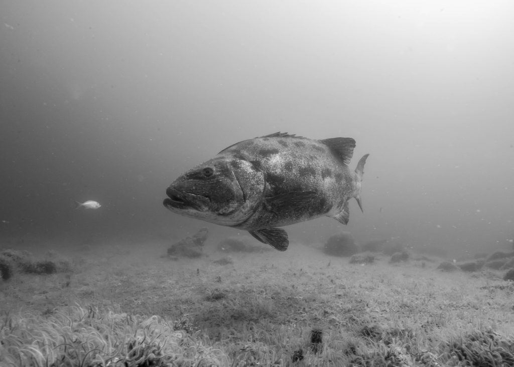
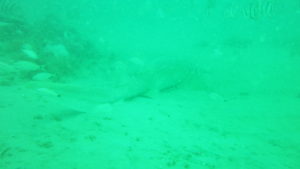
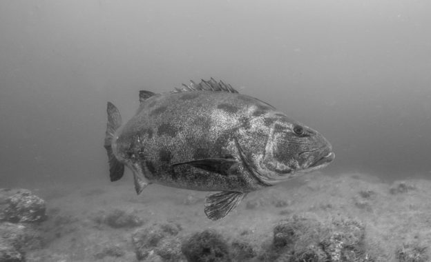
- Getting a visit from a giant sea bass is always a treat.
-
- Our fake algae flowing with the current.
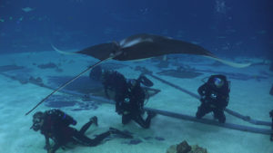
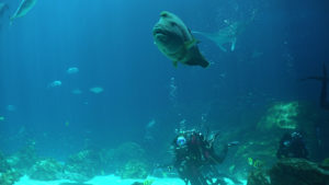
I am blown away by the brittle star barren. It’s an incredibly boring landscape to look at, but one that I’ve never seen. It’s impressive- millions of brittle stars just carpeting the bottom. The real highlight of the dive for everyone though was the giant sea bass that cruised by us a few times. Giant sea bass are the largest fin fish around the Channel Islands, growing to 500+ lbs and 8 feet in length. Though they are more common now than when I was younger, they nearly went extinct in the 1970’s due to commercial and recreational overfishing.
Katie Grady checks out our giant friend.
I have dove with giant sea bass before and it’s hit or miss in terms of approaching them. Some are much more skiddish than others. This one was medium-skiddish. I ended up not getting the exact shot that I wanted, but I was just happy to see the big fella.
“You, making me happier
Now I am snappier, while I’m with you”
I’m feeling great today and feel the need to sing this morning. “Anyone like Shuggie Otis?” I ask the crew. After getting a bunch of shoulder shrugs, Katie asks me, “who’s that?” “He is a musician! I’d say he’s like…one step below Zappa in terms of notarity.” Kelly spits out her coconut La Croix, “HA! Is Frank Zappa now a unit of measurement?!”
Eat, Drink La Croix, Be Merry. David sporting the KFM drink of choice.
Soon enough, we are all descending onto Admiral’s reef- a site known for it’s ripping current. Today is more mild than usual, but the current is still very strong. I get to step away from survey work again today and take some photos. My goal is to get photos of everyone, but the depth we are working in makes it difficult to spread myself out- particularly with the current. I start with Kelly, migrate over to Connor and David, and then spend some time with Katie and Kenan.
When you see the kelp starting to go horizontal, you know the current is ripping. It makes avoiding entanglement impossible.
While I am setting up a shot of Kenan, I notice an octopus on the backside of a rock. I get Kenan’s attention and we try to get a good shot of the octopus. I’m always mesmerized by good octopus shots, and after trying to take one myself, I respect those shots even more. Octopuses have an incredible ability to camouflage themselves instantly…which is exactly what this octopus did. How do photographers get an octopus to not do that so that it can easily be seen? After a few attempts, I had to race over to Josh before surfacing.
Find the octopus! Hint, it’s on the right side in the center of this photo.
I only get to spend maybe 3 minutes with Josh before I have to surface, but overall it was a productive dive. On the surface, David yells, “Cullen! We are going to get schooled!!” I already know he is talking about yellowtail, the fish of choice for seafood eaters in California. David convinces Cullen to hop in with him and look for yellowtail on our surface interval. David’s enthusiasm for getting in the water at any time of day is incredible and really sets the tone for his team.
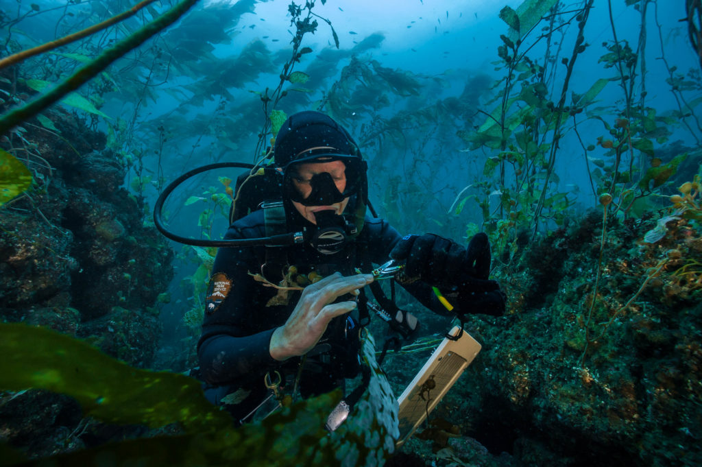
Katie measures an urchin.
Today is the last day of my KFM tour. David feels good about what the team has accomplished this week and decides to let us do a fun dive. He chooses a spot where we might some giant sea bass. Josh and Keith stay behind on the first dive to keep an eye on the boat while the rest of us descend. After 30 minutes, we don’t see a giant sea bass, but we do get a visit from a curious sea lion. Cullen also takes it upon himself to prank David by putting a lobster carapace on his tank band.
-
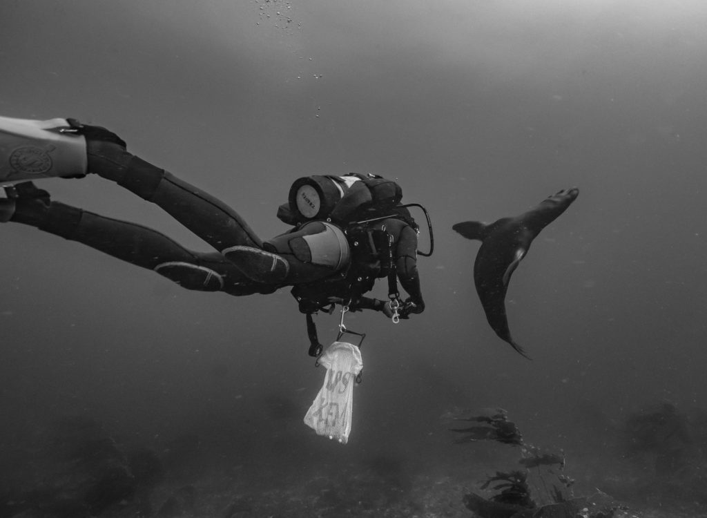
- If I was only 15 feet to the right…that was my thought when shooting this photo of Kelly Moore getting a swim-by from a sea lion.
-
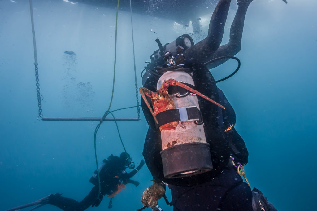
- Cullen pranked David with this lobster carapace. He didn’t realize it was there until he took his tank off!
-
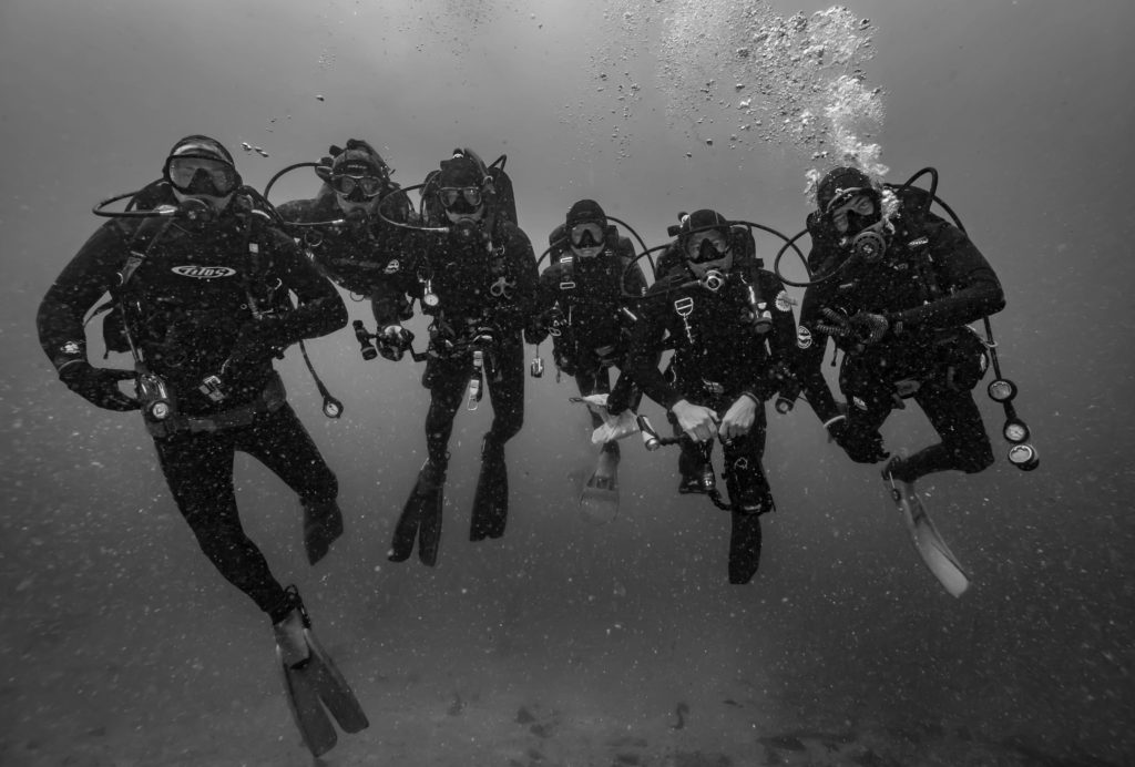
- The KFM team. (L-R) Connor, Cullen, David, Kelly, Kenan, Katie.
-
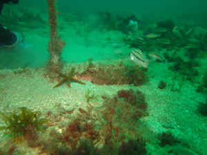
- The result of a long term monitoring project is a healthier ocean. I couldn’t stick another lobster in this crevice if I tried!
A big group dive is the perfect way for me to close out my time at CHIS. CHIS really was a homecoming for me. It’s where everything started, from my Our World-Underwater Scholarship Society application to my blue card certification. I felt at home in the kelp forest seascape, surrounded by familiar faces that speak my California slang.
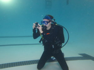
Something that Channel Islands does very well is outreach. Part of that is creating some of their own media. Here, Kenan is getting footage for an underwater video.
The CHIS team is one of the most tight-knit I’ve worked with in my entire life. They know how to perfectly walk the line of having fun and remaining productive. It was an honor to work with this crew under the California sun, but I can’t lie- I’m excited to head to my next stop in Hawai’i and lose 9mm of neoprene!
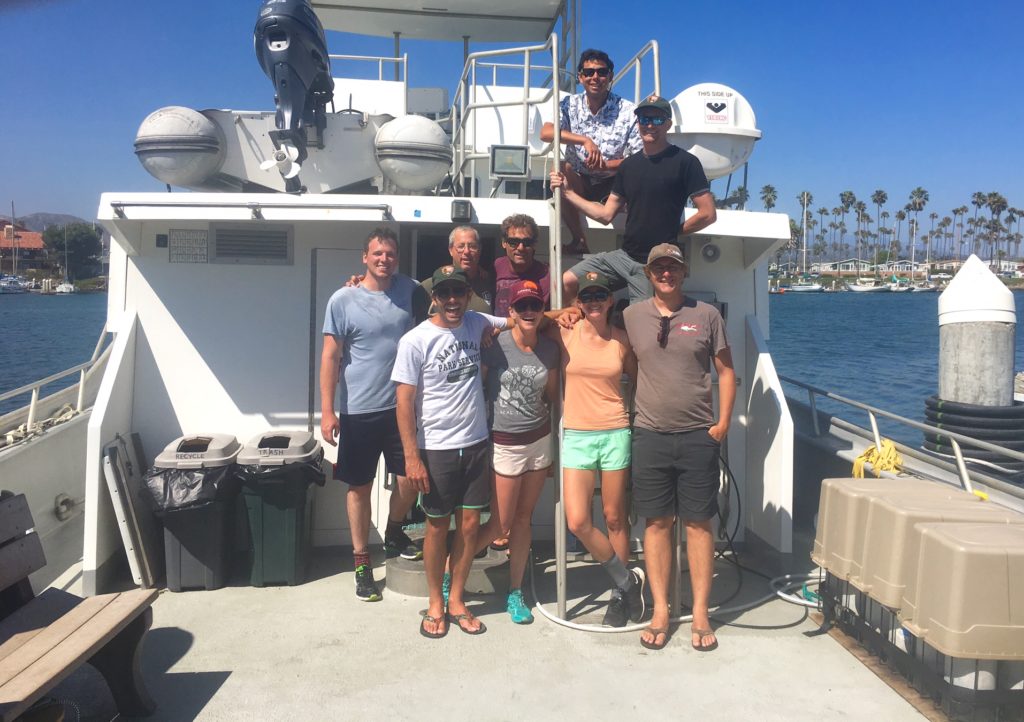
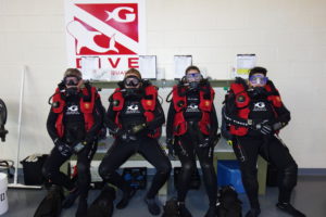
I’ll miss the Channel Islands, but I’ll be back before I know it! Here is the full KFM crew on the Sea Ranger II. Back (top-bottom): Kenan, Josh. Middle (L-R): Connor, David, Keith. Bottom (L-R) Myself, Kelly, Katie, Cullen.