Category Archives: News

New Shores – REEF [4]

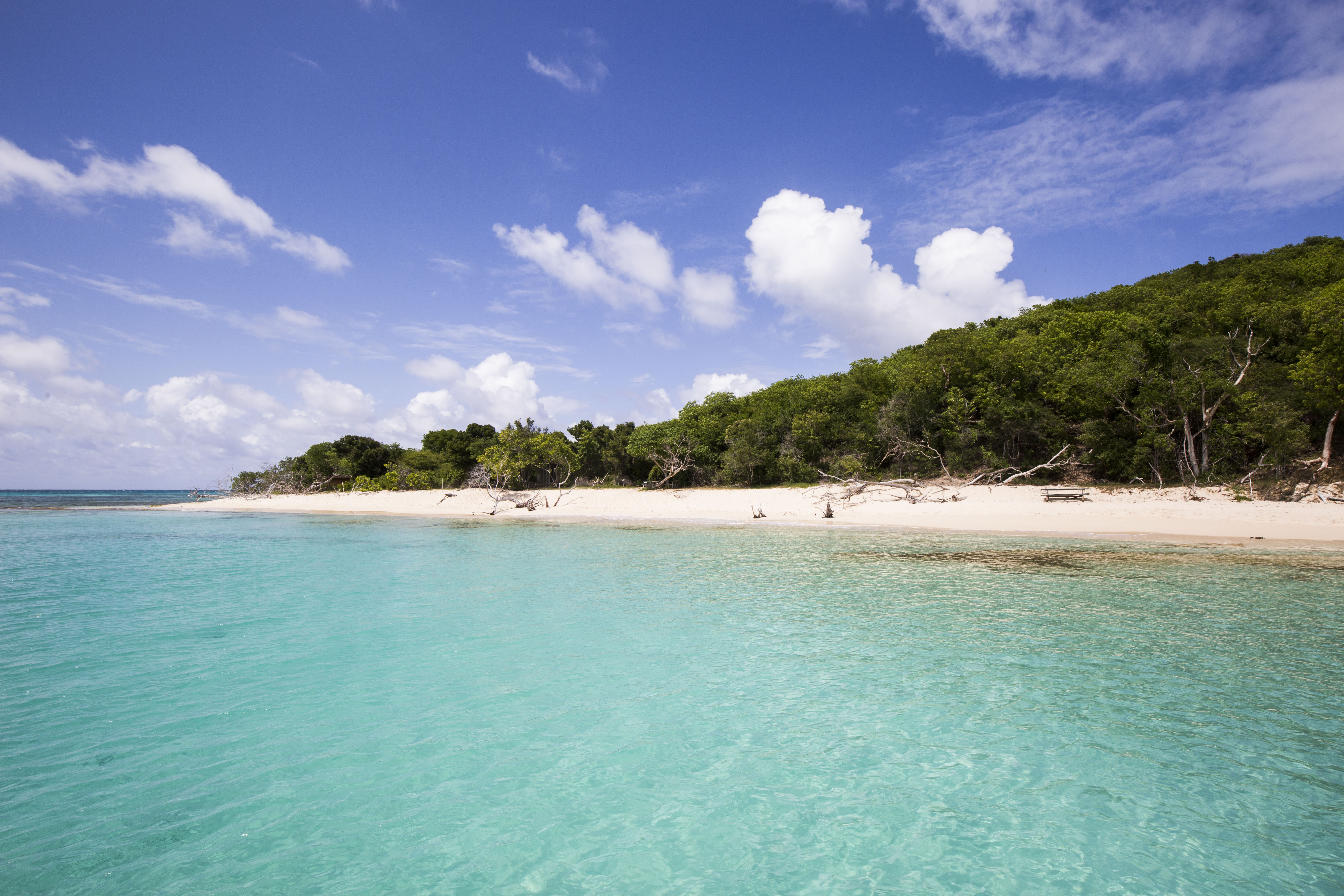
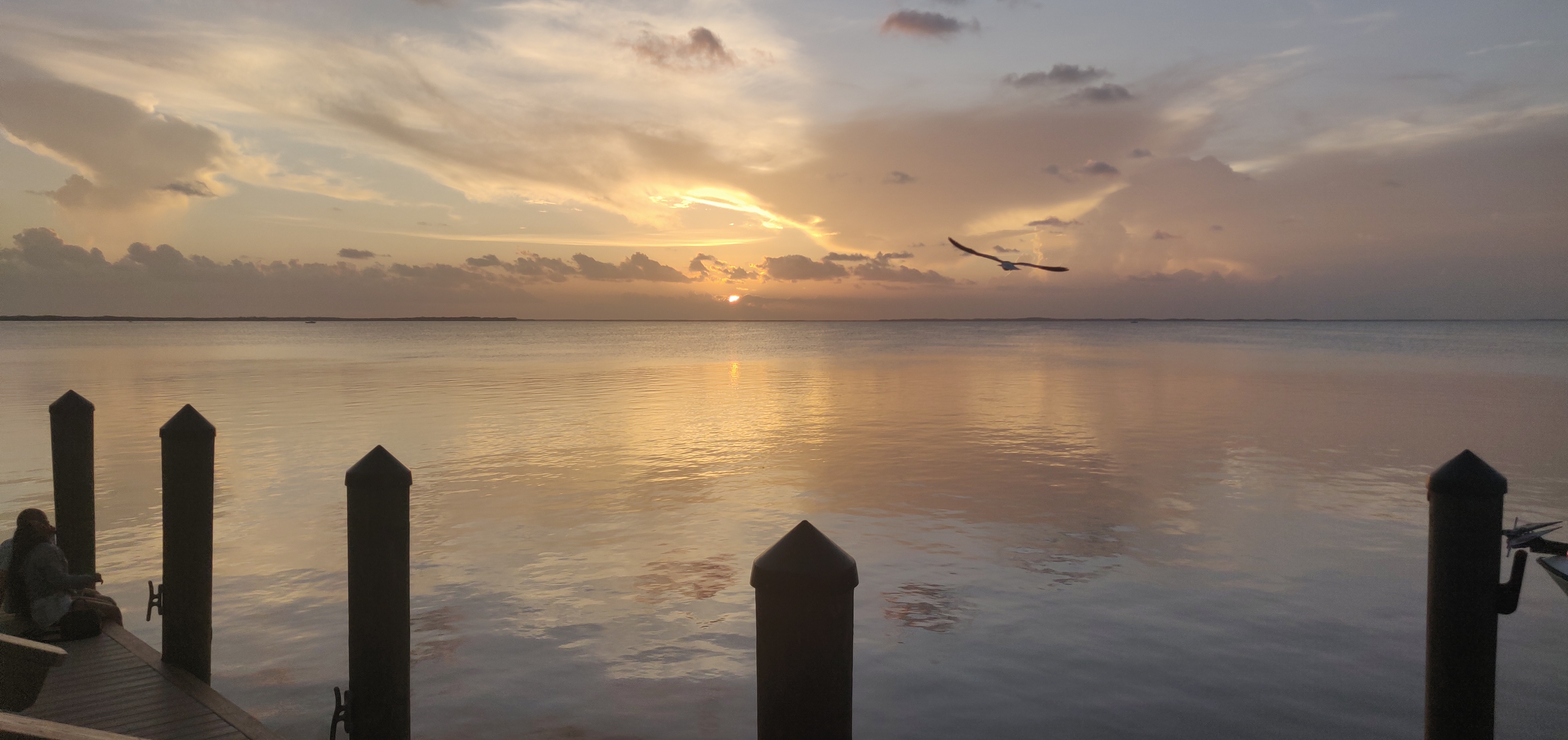
Bayside view from Sundowner’s, Key Largo. Taken while my parents were visiting near the end of my internship

Eleven weeks – it is strange to think how short my internship with REEF this summer truly was. I knew before arriving how fast the summer would go by, but the ephemeral nature of seasonal positions is always a little surprising. Before I reflect on my time in Key Largo, however, I would like to go back to this past April, when my experience with OWUSS really began.

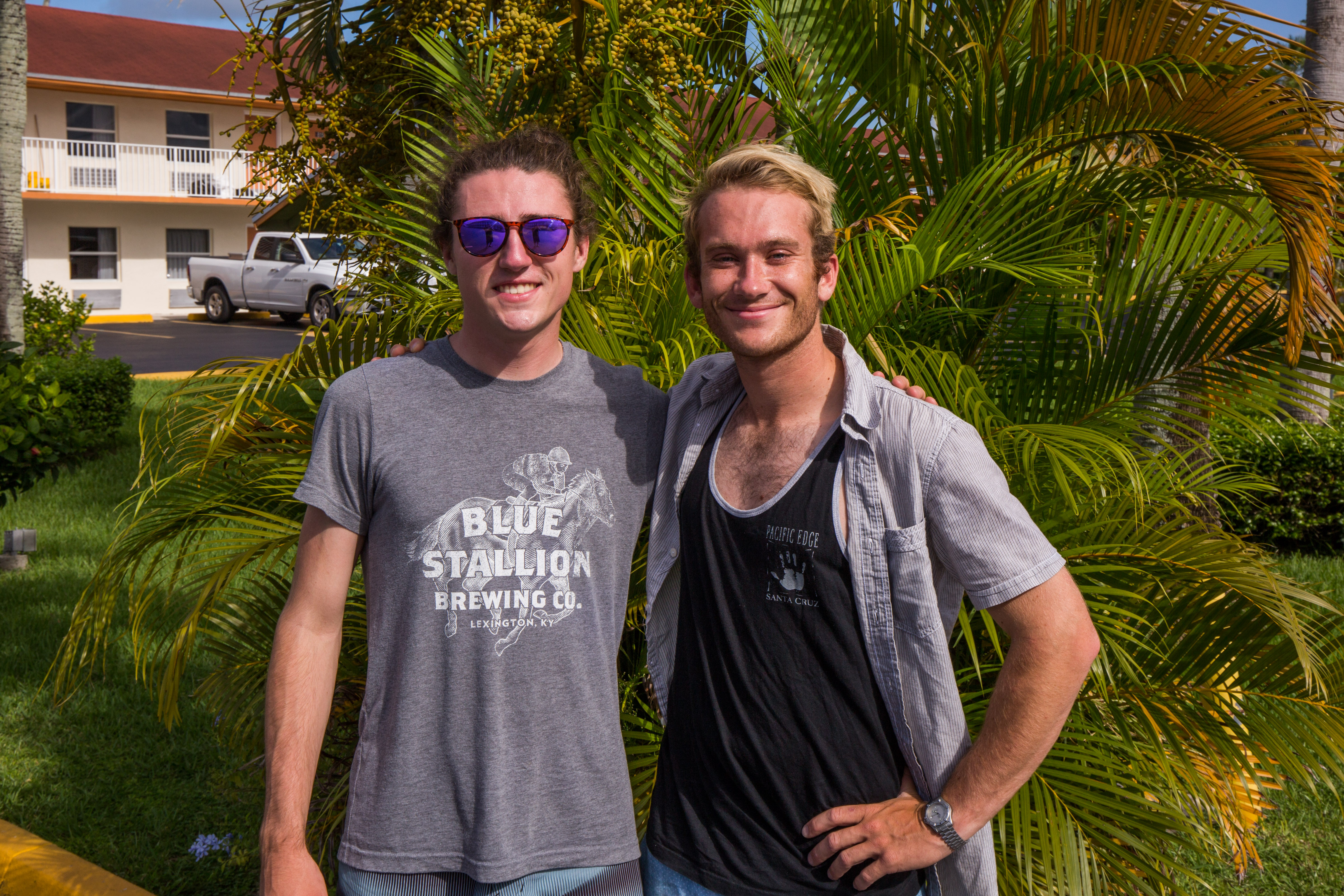
I was just finishing up my senior year at the University of Kentucky, and I was juggling a lot of activities. The deadline for my senior thesis and poster presentation was coming up, and finals loomed just ahead. I was more than happy to take a break from finals and paper-writing the second weekend of April to travel up to New York City, a stark departure from the rolling hills of central Kentucky. This was to be an exciting weekend for several reasons – I had never been to the Big Apple, and I was about to be inducted as a member of both the Explorer’s Club and the Our World Underwater Scholarship Society. On top of this, I was about to meet back up with my friend Liza Hasan, who had recently accepted this years’ AAUS Mitchell Internship. Liza and I became good friends back in 2017 when we both studied abroad in Bonaire, at a research station focusing on tropical marine ecology. We were overjoyed when we found out we had both received internships from OWUSS, knowing how rare and unique of an opportunity this was for each of us. We would also have the chance to see our friend Shannon Brown again (who was the 2018 NPS intern), who was an intern at the Bonaire research station when we were students!

After a redeye flight out of Lexington to Newark, I took in the sights of the big city as I arrived via the bus system. New York was something else – unbelievably tall and expansive, home to countless people accomplishing a million different tasks. This past spring, I visited many big cities for the first time, from New Orleans to Atlanta to San Francisco, but nothing compared to this. The awe I felt simply rolling my luggage down the streets of Midtown Manhattan added to the feeling that I was stepping into an entirely new world with this internship.

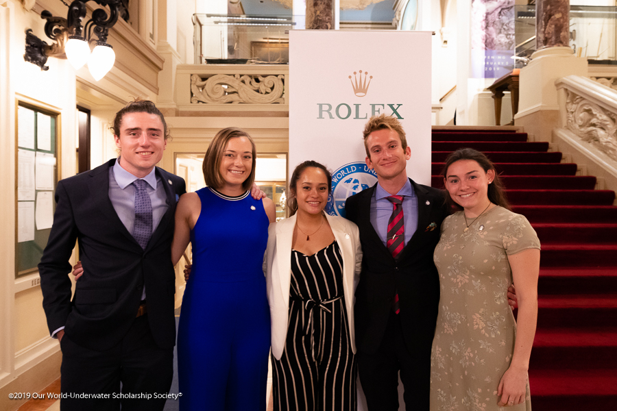
The 2019 interns! Photographed at the New York Yacht Club. From Left: Myself, Liza Hasan (AAUS Mitchell), Kyra Jean Cipolla (AAUS Somers), Michael Langhans (NPS), Abbey Dias (DAN)

The weekend would prove to be a whirlwind, what with meeting all the other interns, to official inductions at the top floor of the Radisson, to a night of dancing at 48 Lounge. We made a wild realization that four out of the five 2019 interns had all had Dr. Franziska Elmer as our research mentor at one point (including me and Liza). And this was all the first night! It turned out that Kyra and Abbey had both completed research projects under Dr. Elmer while studying abroad at the School for Field Studies in Turks & Caicos recently, while Liza, Shannon, and I all knew her through the Bonaire program. All of these seemingly random connections painted a beautiful picture of how the OWUSS community functions – it is there, in part, to get qualified young people in touch with the people they need to, in order to forge a path forward in the underwater world. This would become apparent the next day, when we had several socials and formal events at the Explorers Club and New York Yacht Club, respectively. Everyone in the society was incredibly excited to meet us and hear about our ambitions and university studies, as well as introduce us to past OWUSS interns and scholars. Hearing the presentations of each prior intern/scholar and how they were all going on to do amazing things in their fields directly after their experiences was inspiring. Not only that, but it was a challenge to do great things and build upon my own experience with REEF.

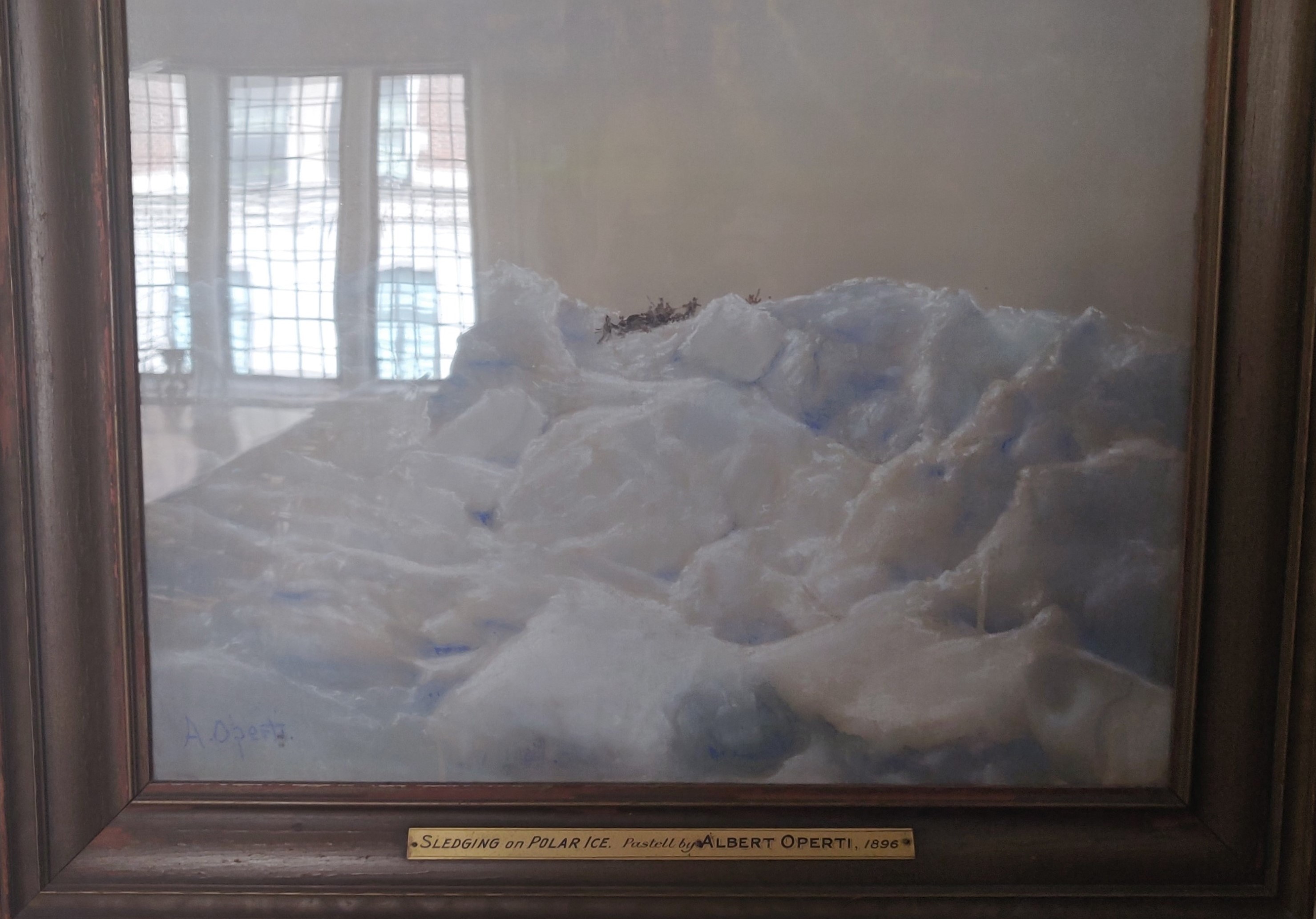
Pastel illustration at the Explorers Club

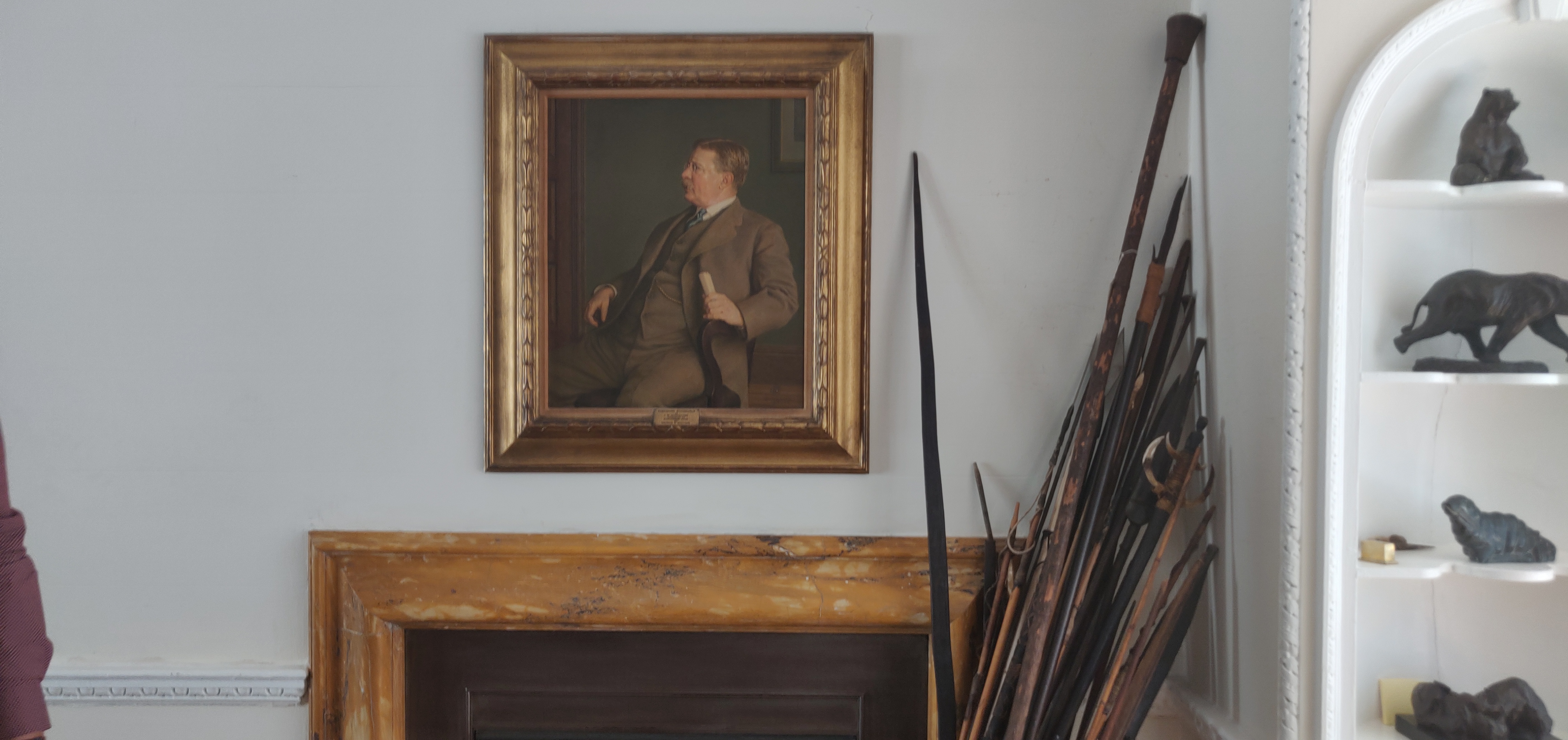
Roosevelt Portrait in the Explorers Club

It was with that challenge that I returned to Kentucky to finish out my undergraduate career and then move on to the Florida Keys. But I had one surprise yet in store – just before leaving for New York, I had sent in an application to work as a Waterfront Assistant at the same field station that Dr. Elmer worked at in Turks & Caicos. Just before finals week hit in late April, I received an email saying I had been offered the job! I was both overjoyed and immediately stress-planning about how this would all work. Coming on as a Waterfront Assistant was contingent upon me completing my Divemaster (DM) certification over the summer, since I would start in Turks & Caicos in late August. Thankfully, REEF would end up being incredibly accommodating and allow me to complete my DM throughout the summer (read more here).

And that brings us back to the present. In the time since my last blog post, my time with REEF mostly consisted of wrapping up my personal project and working as a camp counselor once again. These coincidentally were my favorite aspects of being a REEF intern! The flexibility to pursue one’s own project at the REEF office (while not assisting with office work, lionfish derbies, Fish & Friends seminars, etc.) was exciting, especially because of the support offered by the staff. Two of the remote staff, Janna Nichols and Christy Pattengill-Semmens, were instrumental in helping me put together a Quizlet program, as part of the Learning Resources for the Volunteer Fish Survey Project. David gave me the idea early on to produce PowerPoint slides to help surveyors learn all the Beginner, Intermediate, and Advanced fish species of the Tropical Western Atlantic (TWA). I ended up using Quizlet instead, and developed lists of all the relevant species for each tier of difficulty, and then matching up photos with the common and species names of each species. Part of what was so exciting about this was that in the process I became much better at identifying TWA fish myself. What made this really rewarding, though, was the knowledge that my work would reach a wide, potentially international audience through the REEF website. Christy and Janna helped me get my Quizlets integrated directly into the website (see here). Not only that, but now REEF staff and volunteers are putting together Quizlets for every other region, making it truly accessible for anybody that wants to learn fish ID of a region anywhere in the world. One of my main goals going into the summer was to make the science that we do in the marine world more accessible, and I could not have been more satisfied with how this turned out.

It was (almost) always a joy working with the kids at Ocean Explorers Camp. Can’t beat a re-creation of the Titanic

As my personal project winded down, my last week at REEF ended up being as a camp counselor again. I never expected to love working with the kids as much as I did, but couldn’t have been happier having another go at Ocean Explorers Camp. This time I went in with a bit of experience under my belt, and made a commitment to do things a bit differently. I made a concerted effort to spend more time getting to know each camper, instead of just a few (as fun as getting chased around by Dakota the first week was!), and in doing so I feel that I connected with the kids pretty well. It was incredible seeing how quickly they could absorb knowledge about the ecology of the Florida Keys, and it gave me a chance to improve my interpretation skills. I have learned that kids in the 8-12 age range are perfectly equipped to learn a ton of information in a short amount of time, but only if you manage to keep their attention for more than a few minutes! A big part of that was figuring out how much each kid already knew about fish, corals, etc., and then not underestimating their knowledge, but instead building on what they already know and were interested in. I was surprised at how quickly I got back in the flow of being a counselor that week, and honestly I could see myself working in some marine education for children again in the future, whether through a job or as a volunteering effort. None of the kids gave me any adorable collages this time around, but I still felt a connection with them and won’t soon forget their unabashed excitement for the underwater world.

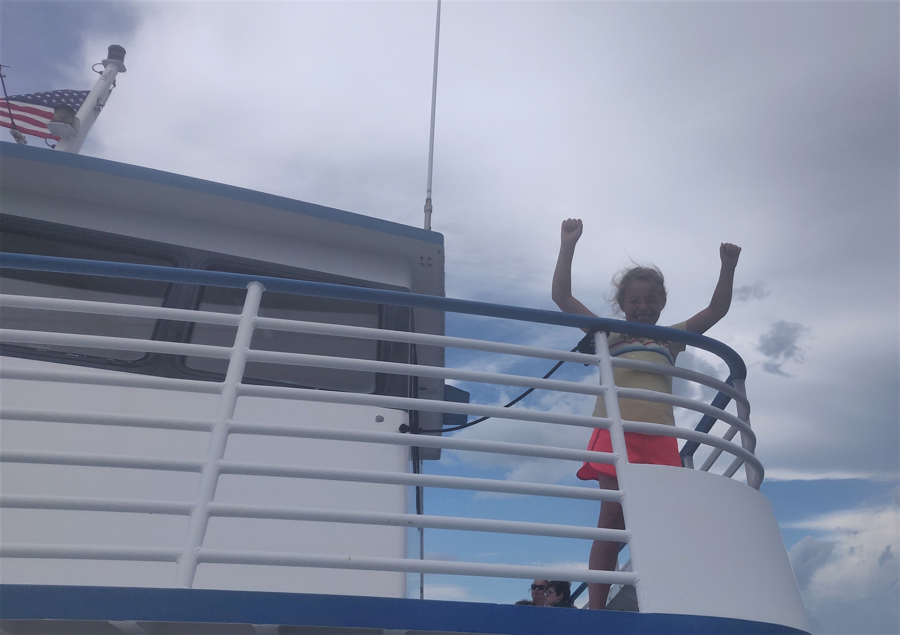
Natalie had her turn as the captain! Taken while out on John Pennekamp Coral Reef State Park’s glass bottom boat.

With that final week at REEF completed, my internship now consisted of intensive Divemaster training through the first week of August. I had finished the bulk of my training requirements throughout the summer, on days off and over the weekends, however there were still my final written exams. With some feverish last-minute studying and review of decompression theory, I passed both sections of the written exam! Now it was time to get more time out on the boat and actually leading dives. I had already led a couple dives, covered in my third blog, but it was important to see what it was like leading dives for tourists/locals of various experience levels from morning to close, and then coming right back the next day and doing it all over again. That is how I learned to deal with the random challenges that popped up day-to-day, such as what to do when someone’s gear from the prior day got left at home, or how to lead a dive for a customer who lost their certification cards. On top of that, I was very happy to get the extra experience leading dives/working the boat, since that is what I will be doing for students in Turks & Caicos for the next year. Key Dives was the perfect shop to learn from this summer, largely because it was such a small shop with a tight-knit staff. They all expected the very best of me and pushed me to learn from my mistakes after every dive, even the small ones. If I momentarily lost where the mooring line was and had to ask for a direction, you can bet I was given some constructive criticism about it back on the surface. I had to learn quickly, and ultimately it all paid off. By the end of my DM training, I was very comfortable leading dives, pointing out rare fauna unique to certain sites. I was lucky enough to spot more than ten bonnethead sharks on a dive over a seagrass-heavy area on my very last trip with Key Dives, and the group I was leading was loving it.

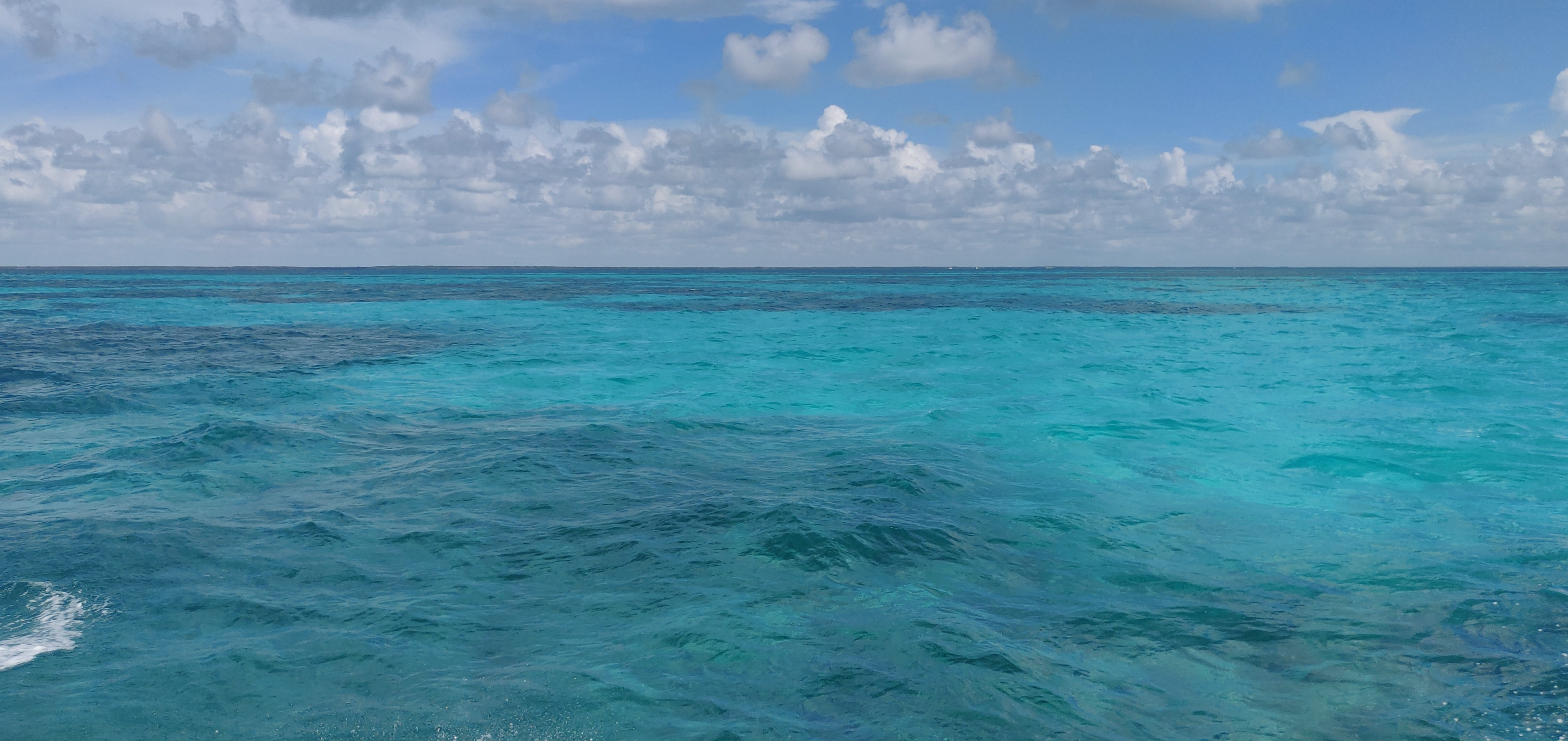
Cutting through the crystal blue waters of Islamorada on the Key Dives boat, the horizon is endless


Bud n’ Mary’s Marina, where the Key Dives boat departed every day

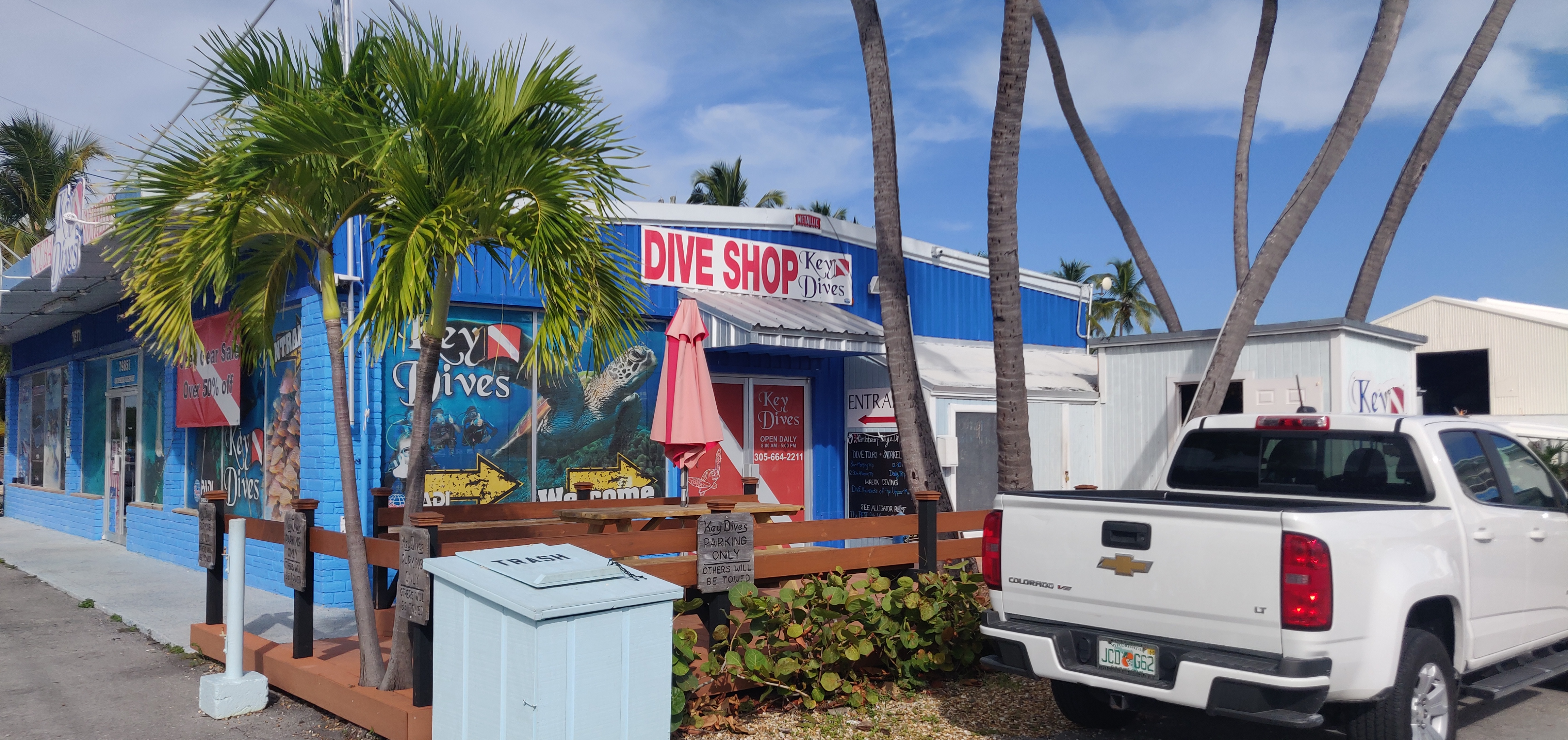
The Key DIves shop!

With that last day at Key Dives, my internship officially concluded. However, I will soon be taking everything I learned to new shores in Turks & Caicos. I can’t say enough how thankful I am to everyone at REEF for helping make this summer incredibly memorable, as well as vital for my professional development. With newfound experience in everything from K-12 outreach to dive briefing, I am equipped to move forward in the field of marine science as a much improved educator. My time at REEF may be over, but I cannot wait to see the great things that future REEF/OWUSS interns go on to do next year!

The marina behind the Square Grouper restaurant, in Islamorada

Share

Search and Recovery

Fishing is the lifeblood of Alaska. Alaskans are reliant, both economically and culturally, on commercial and subsistence fishing. Before coming up to Alaska in May, I underestimated the dominance of fishing. That may come as a surprise to anyone that is an avid fisher, but I was shocked at how many different types of boats were docked in the Homer harbor waiting to make their way out to Bristol Bay, hauling tourists around on fishing charters, and making the rounds in Kachemak Bay. I have learned a lot about fishing in Alaska and how different boats and nets are used for certain fish species. In Kasitsna Bay, where the lab is located, there are a plethora of set nets to catch salmon. Out on the water, charters use hook, line, and a whole lot of hope to catch big halibut. Then there are the purse seines. Purse seines catch large quantities of fish in a short period of time by laying a large seine net out from a large boat that is fed out and brought back in by a small boat. These nets move along the bottom in order to catch anything in their path. Unfortunately, they will also catch research equipment that is also in their path.

Brenda Konar, the one behind it all, posing outside the Wosensenski Glacier.

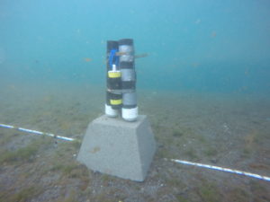
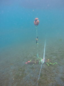
One of the five sites for the Alaska EPSCoR Coastal Margins team is at the Wosensenski Glacier. At the mouth of the river, we have environmental sensors attached to sediment traps that are laid permanently throughout the sample period and switched out once a month. Each of two sets of sediment traps and sensors are mounted onto rebar attached to a cement block. I have carried these blocks on land and tried to move them in the water, and it is an impressive feat to get them to budge. In addition to the cement blocks with sediment traps and sensors, there are two railroad ties holding down the permanent transect line, a railroad tie with HOBO sensors held up by a submerged buoy, and a third cement block with a tilt meter attached. You can imagine the dismay of descending the anchor line to a permanent transect devoid of 75% of these items.

Three sediments tubed equipped with a PAR sensor to measure light. Photo by Brenda Konar.

Three sediment tubes equipped with a MiniDOT sensor to measure dissolved oxygen. The TDR sensors that measures time at depth is absent from this image, but present on current setups. Photo by Brenda Konar.

Railroad tie with submerged buoy and HOBO sensor to measure temperature and salinity. Photo by Brenda Konar.


During July sampling, we discovered that all the sensors and cement blocks had been moved except for the railroad ties. When my dive buddy and I descended, our task was to take subtidal community samples for my project on variation in subtidal community structure along the glacial gradient. We proceeded with our task while the third diver attempted to switch out the sensor units. Once we were finished, I planned to ascend while my dive buddy helped finish switching out the sensors. As I approached the anchor line, I could tell that something was not right. Katie McCabe and Tibor Dorsaz appeared to be searching for something, and I was sent up to report back to the surface tenders on our progress. However, as I was ascending the anchor line, I noticed something laying on the seafloor. As an important side note about this site, it is a soft bottom site with a strong current, not to mention it is within the glacial plume flowing out of the river. This means that sediment clouds the water very quickly once we start working. In nearly zero visibility, I realized I had come across a cement block with sensors attached and quickly swam back to Tibor and Katie to tell them where it was. I returned to the surface with subtidal community samples, while Katie and Tibor continued the search for the second set of sediment tubes and the tilt meter.

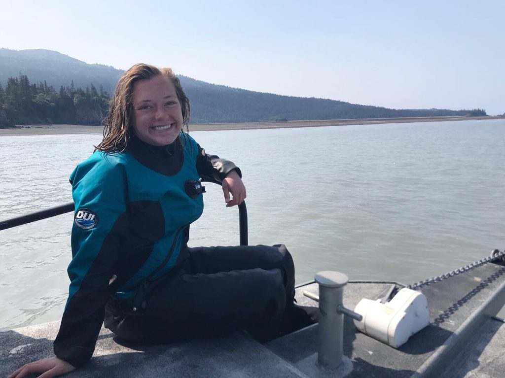
Enjoying some relaxation time on the bow outside the Wosensenski Glacier while waiting for an update on the search for sensors. Take notice to the milky water! Photo by Emily Williamson.

After about a half hour of searching, no more blocks were found besides the one I spotted near the anchor line. The tubes and sensors were brought up and switched out for one set of tubes with all three sensors attached to it. It was decided to continue with the data collection and cross our fingers that a seine net would not move it too far over the next month. We attempted another rescue dive in the days following, but when we went back there were boats seining. There was no way we could dive with seine net operations. Our only option was to wait and hope the blocks would not get caught again.

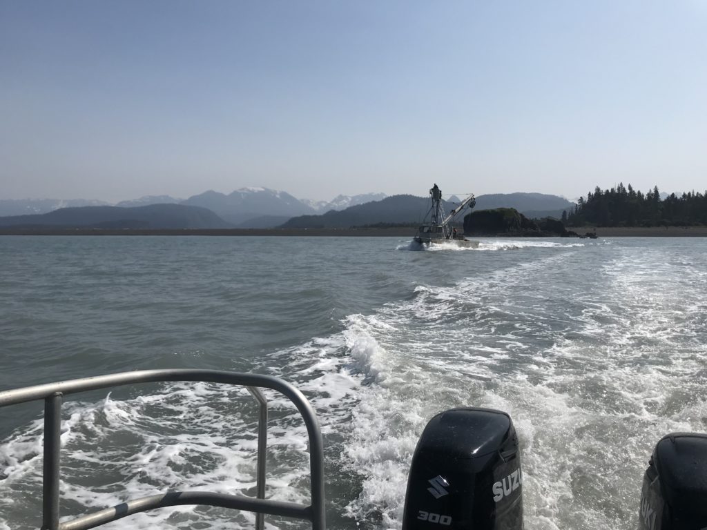
A fishing boat laying out their purse seine with the sensors in their direct path.

This past week during August sampling, we knew another search mission was ahead of us at the Wosensenski Glacier. The fishery was still open and it seemed that seining occurred on Mondays, Wednesdays, and Fridays. We planned our sampling schedule to visit the site on a Saturday when fishing would not be going on. As we were approaching slack high tide, the water was calming down, but there was still quite a bit of a swell and the water looked like chocolate milk. Once again, my dive buddy and I descended to collect subtidal samples while Brenda Konar and Katie took the tall task of searching for sensors deployed in July and remaining sensors from June that could not be located in July. To our surprise, the visibility improved at the bottom and high tide allowed us to be less impacted by the swell.

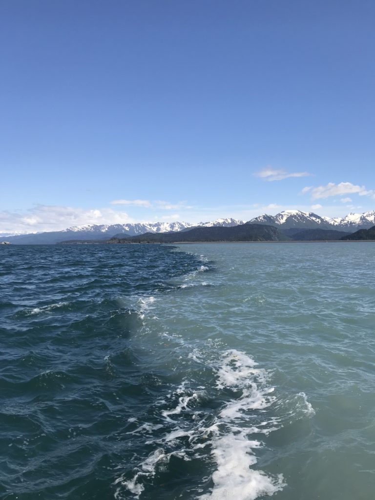
A clear line forms between oceanic water and the plume containing glacial silt emerging from the river mouth. Visibility at the surface was nearly zero!

Due to the dominance of soft sediment at this site, very few quadrats had anything to collect for community structure samples. My dive buddy and I were in and out of the water in 11 minutes to hear the good news that the sensors from July had been found! The sediment tubes had been tipped over and were not that far from the permanent transect line, so another month of data was successfully collected! Once again, all of the sensors were attached to one set of sediment tubes and attached to a cement block. Fingers crossed that the search and recovery mission will be even more successful in a month when the sensors, railroad ties, and blocks are pulled for the winter.

Share

Dry Tortugas National Park – Monitoring Coral Reefs around the Largest Masonry Structure in the Americas

Dry Tortugas National Park

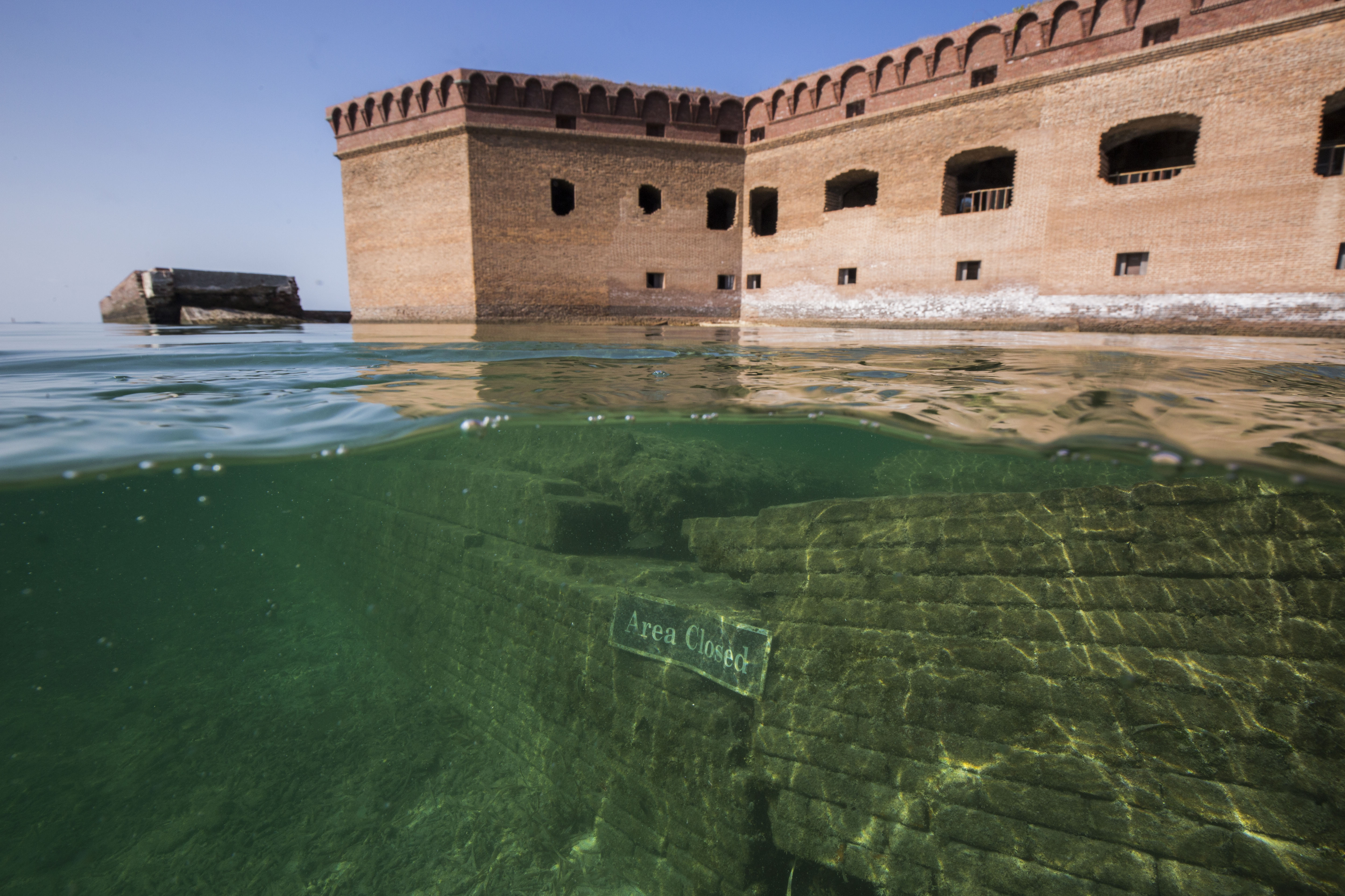
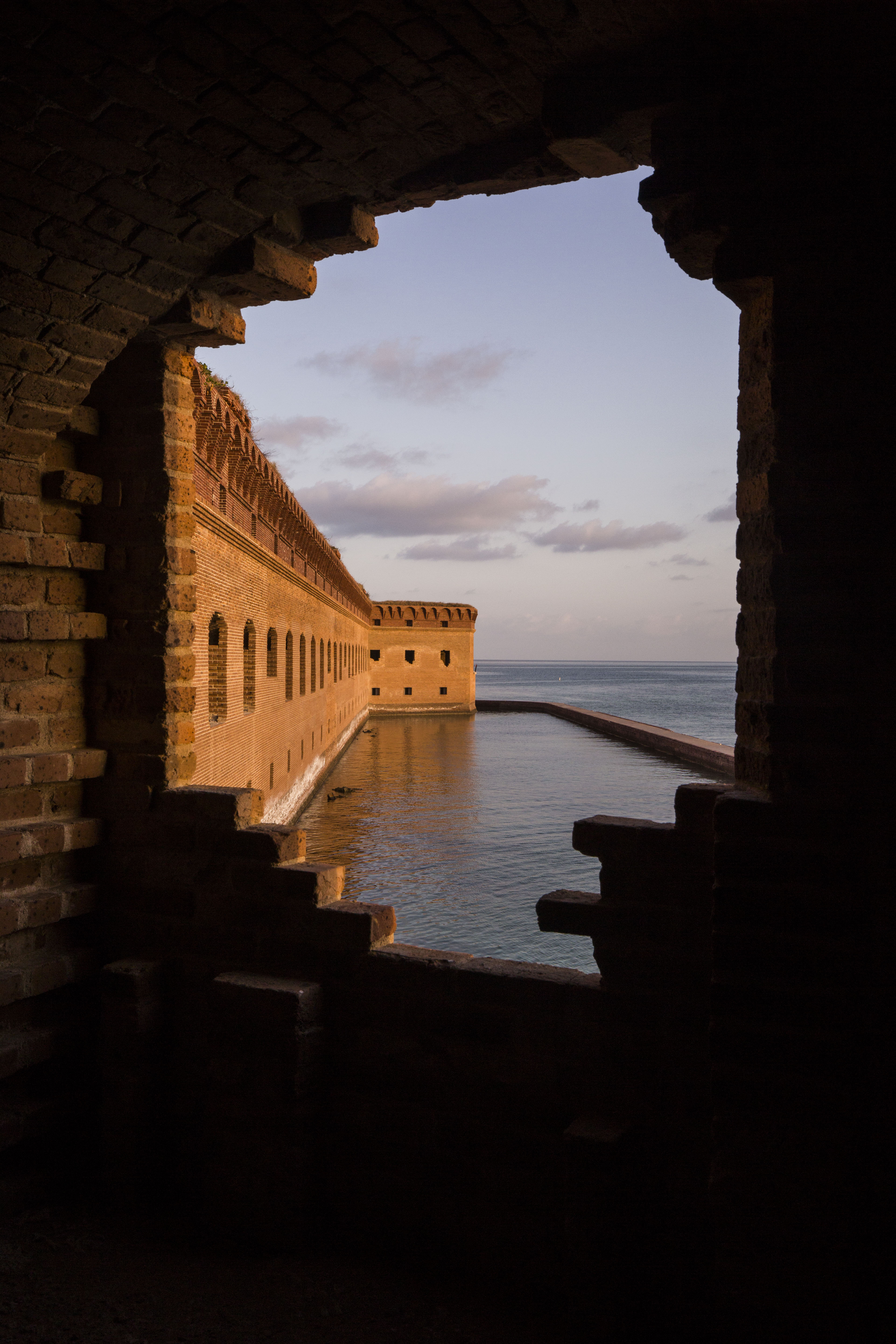
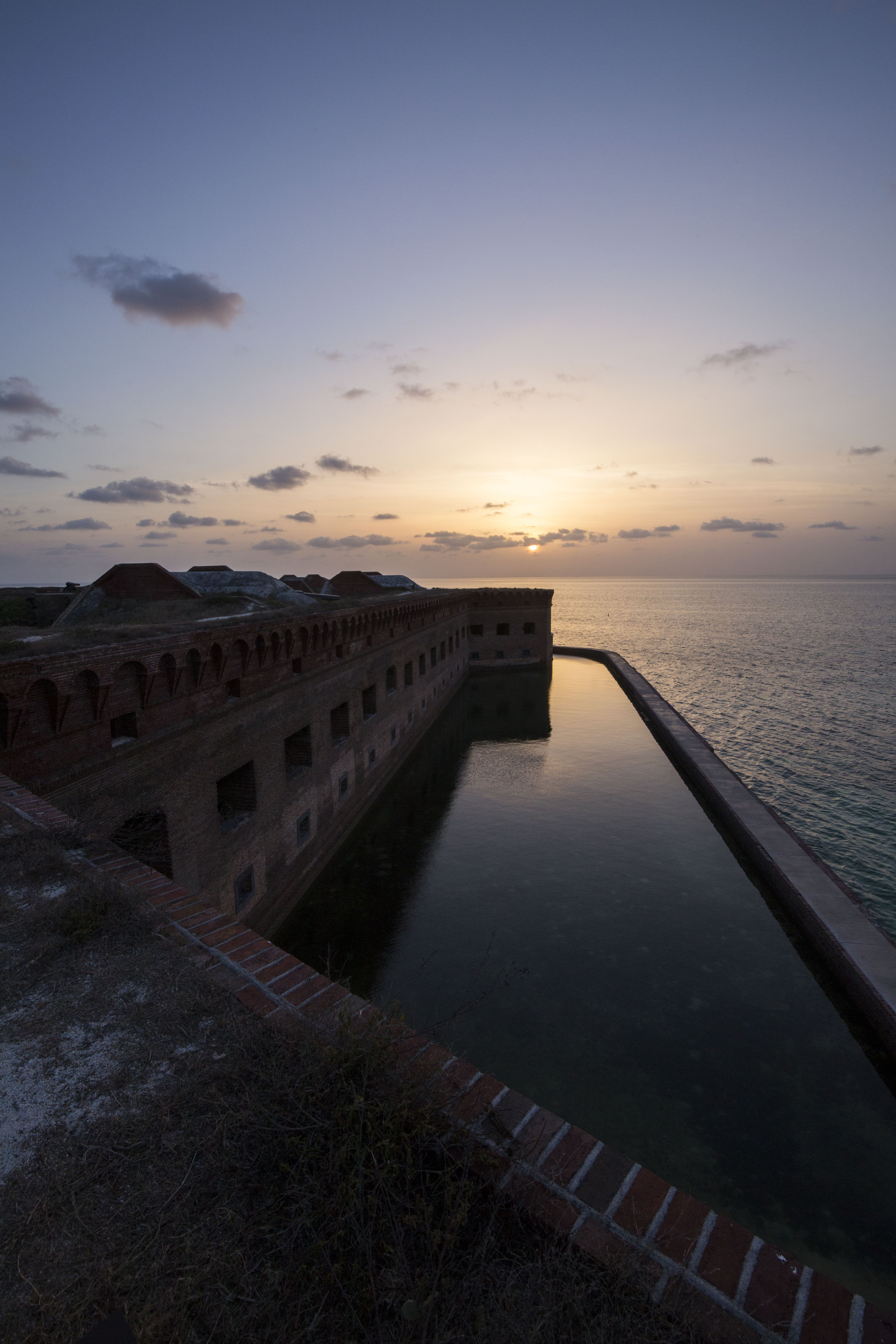
Before this summer, I never imagined that I would be waking up on a ship heading to a 19th century fort in a remote island paradise. A couple weeks ago, that was my reality when I traveled with the South Florida Caribbean Network to Dry Tortugas National Park for 10 days of coral reef monitoring.  Located 70 miles west of Key West, FL, Dry Tortugas National Park (DRTO) is an 100 square mile park that mostly open ocean, consisting of less than 1% land. On one of its few islands lies the Fort Jefferson, the largest masonry structure in the western hemisphere (composed of more than 16 million bricks!). Initially designed as a defensive outpost to gain control of important waterways in the area (Gulf of Mexico, Straits of Florida), work on the fort faltered during the American Civil War. It was then repurposed into a military prison, where it held unlucky prisoners in a hot, brick oven of a fort (famous prisoners include four charged crimes associated with the assassination of President Lincoln), and then later served as a coaling station for coal-fueled U.S. ships.
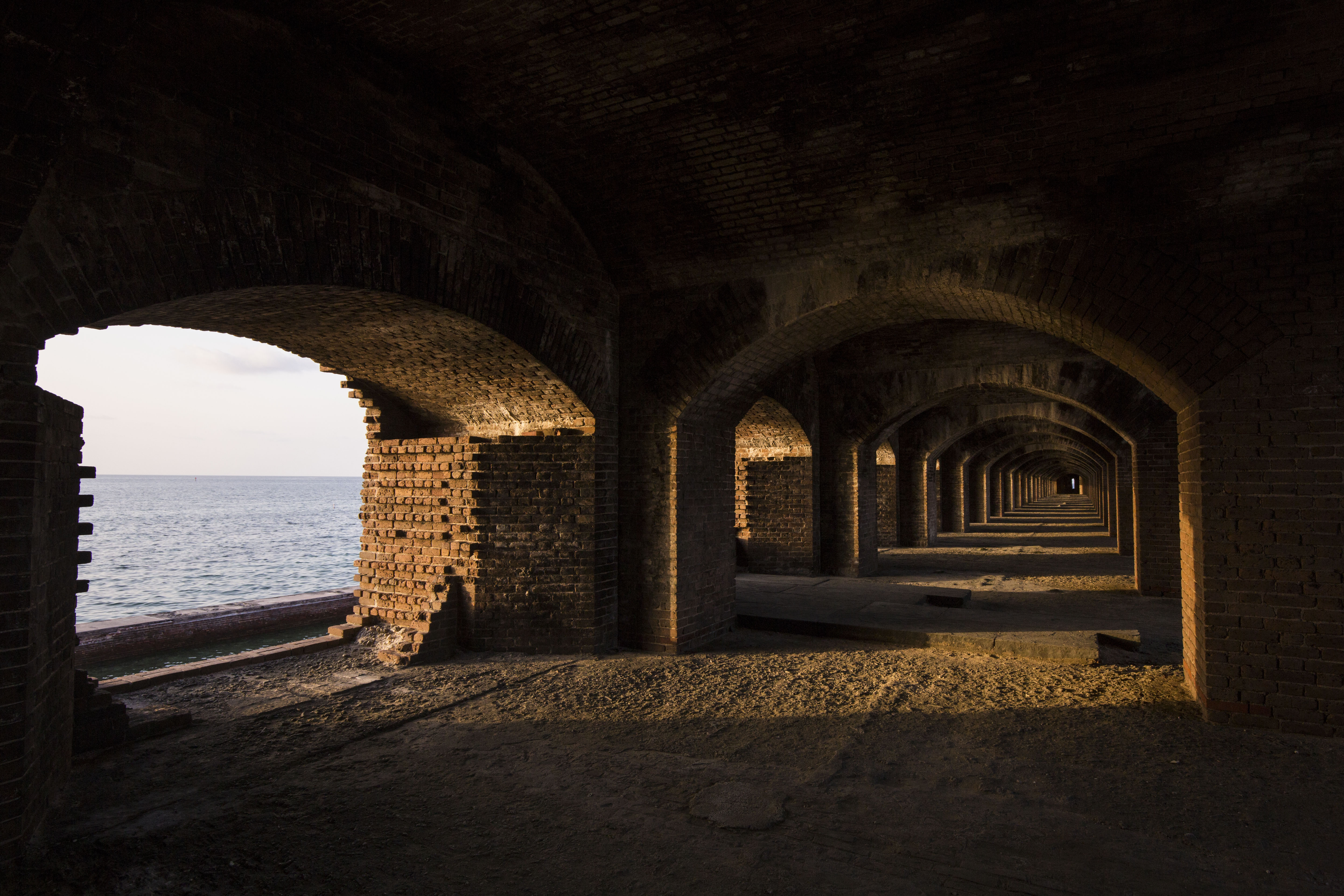
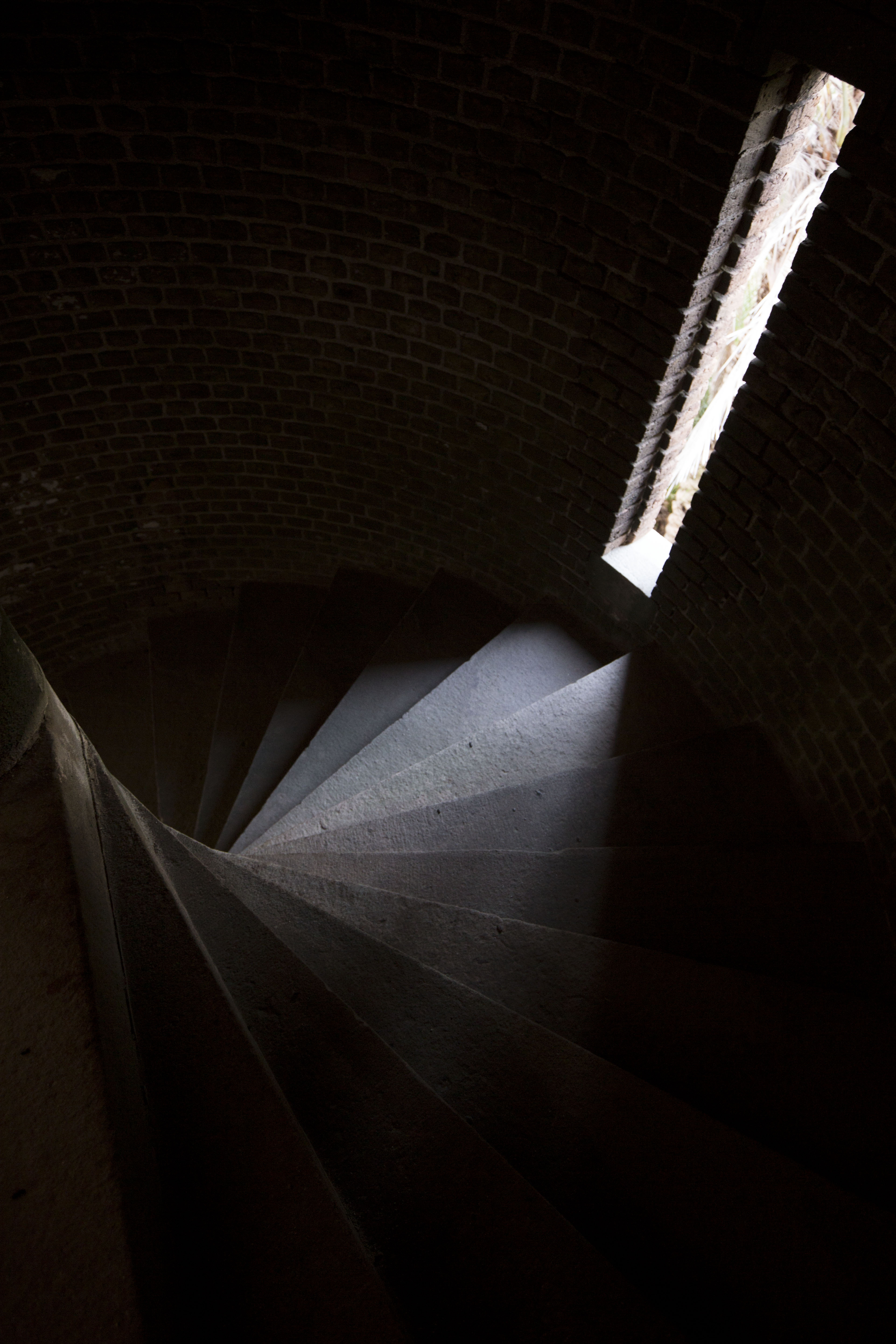
Inside Fort Jefferson

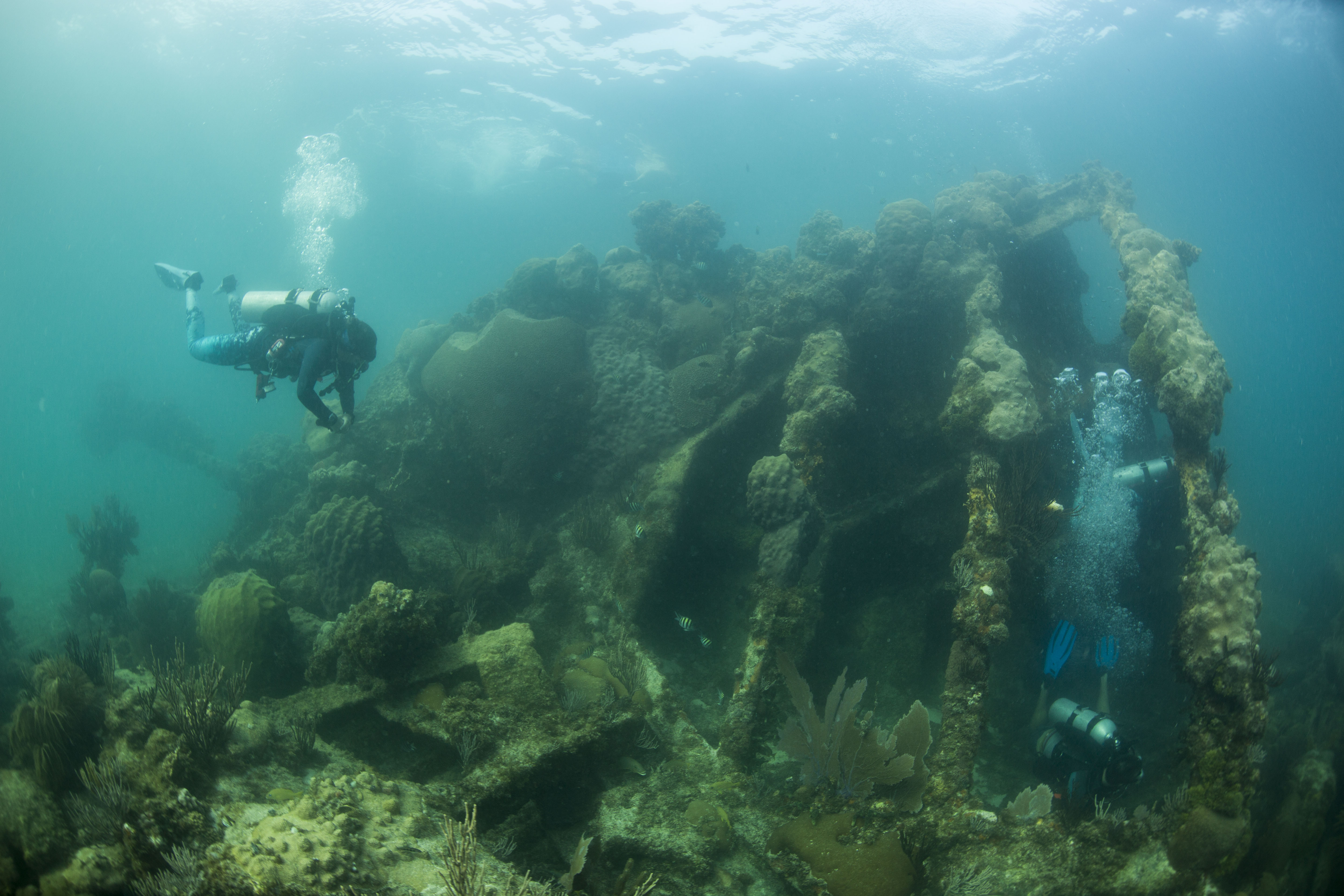
Along with a storied land-based history, DRTO is also peppered with maritime history. Located in the center of a maritime highway and surrounded by large fringe reefs, barely submerged shoals, shifting tides and strong currents, the ocean surrounding the fort is a navigational nightmare for early sailors. Due to these treacherous conditions, the waters surrounding the fort are home to hundreds of shipwrecks, the most submerged resources of any park unit. However, we weren’t here for the  archaeological sites that exist within the park boundaries. We were here for the coral reefs.
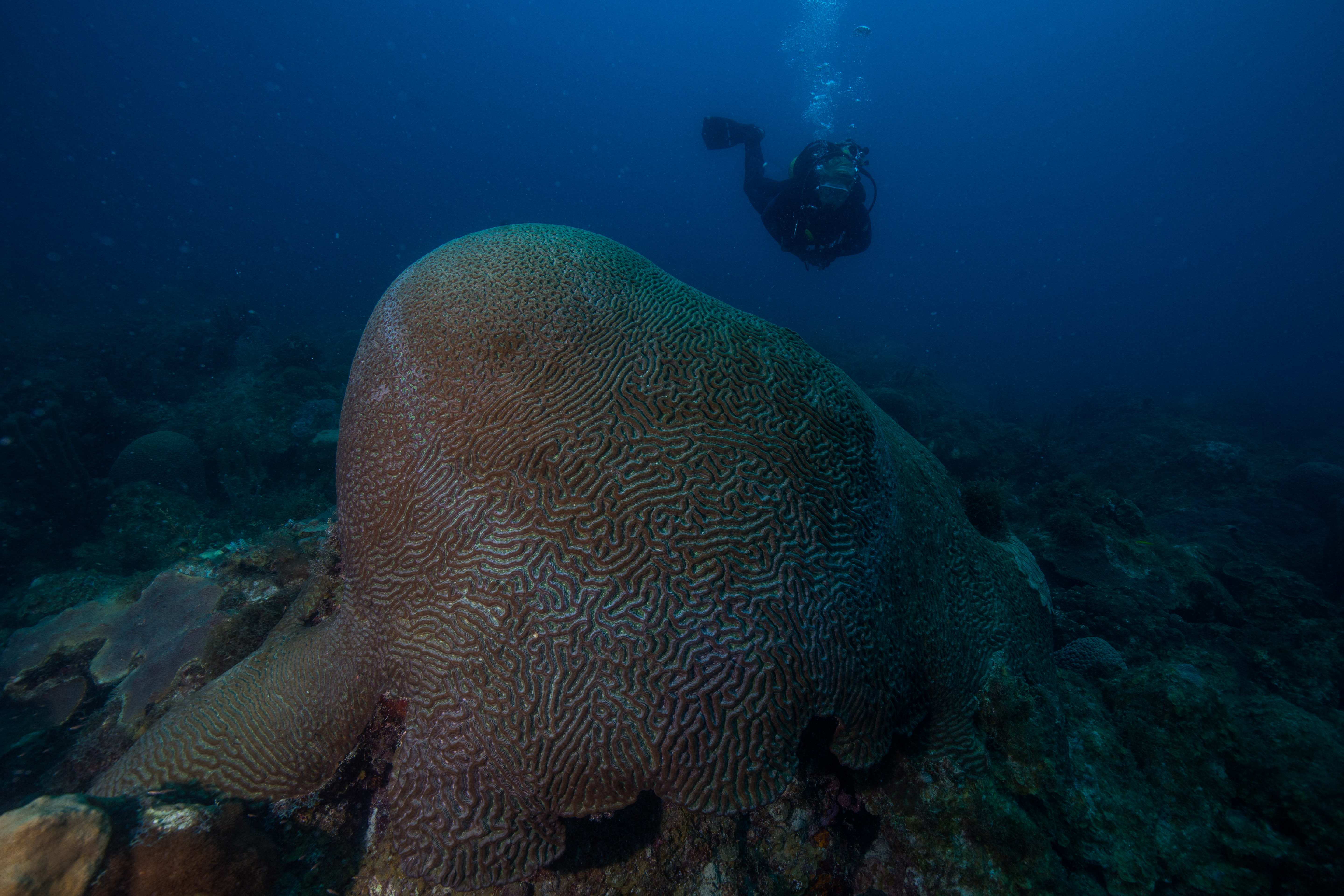
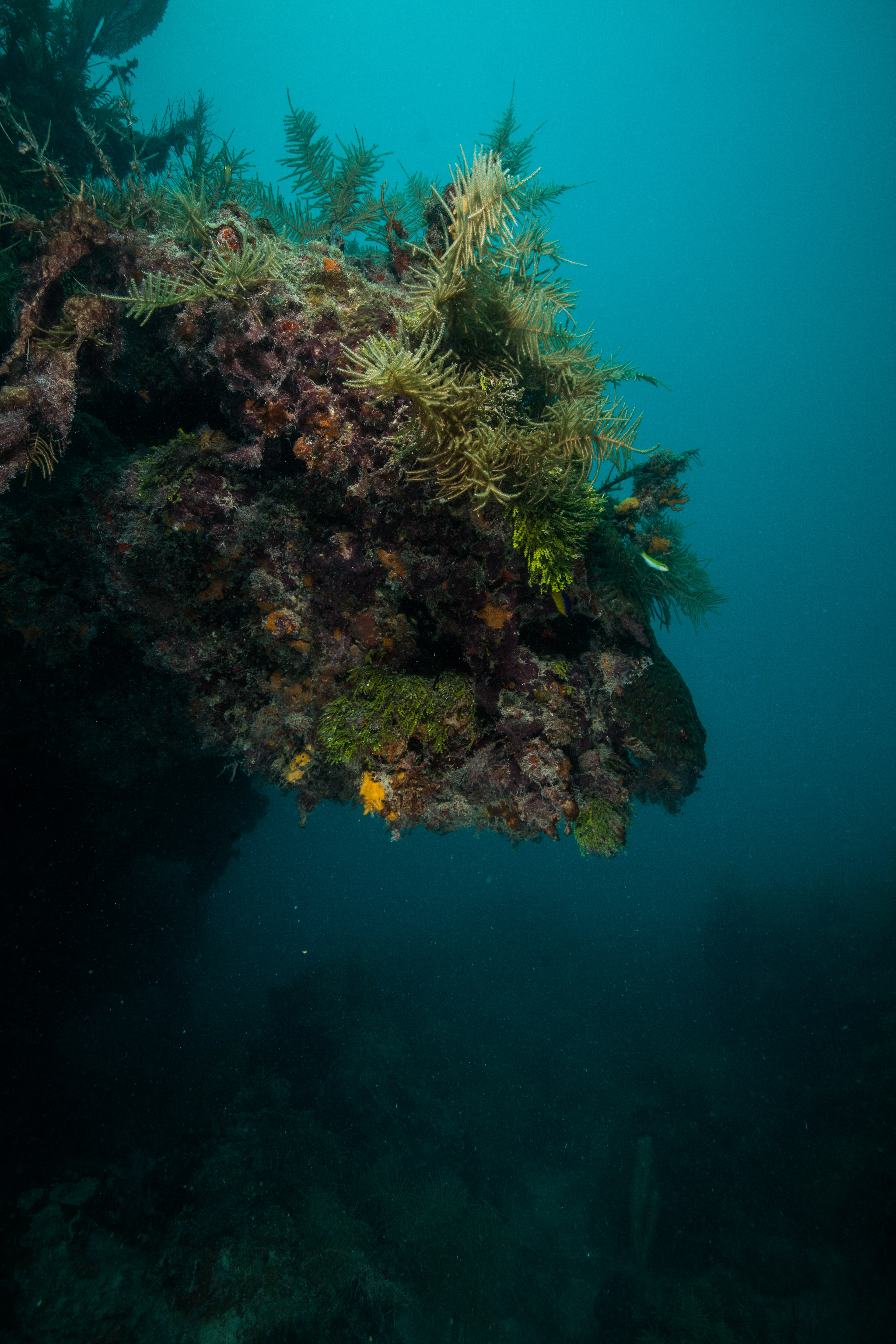
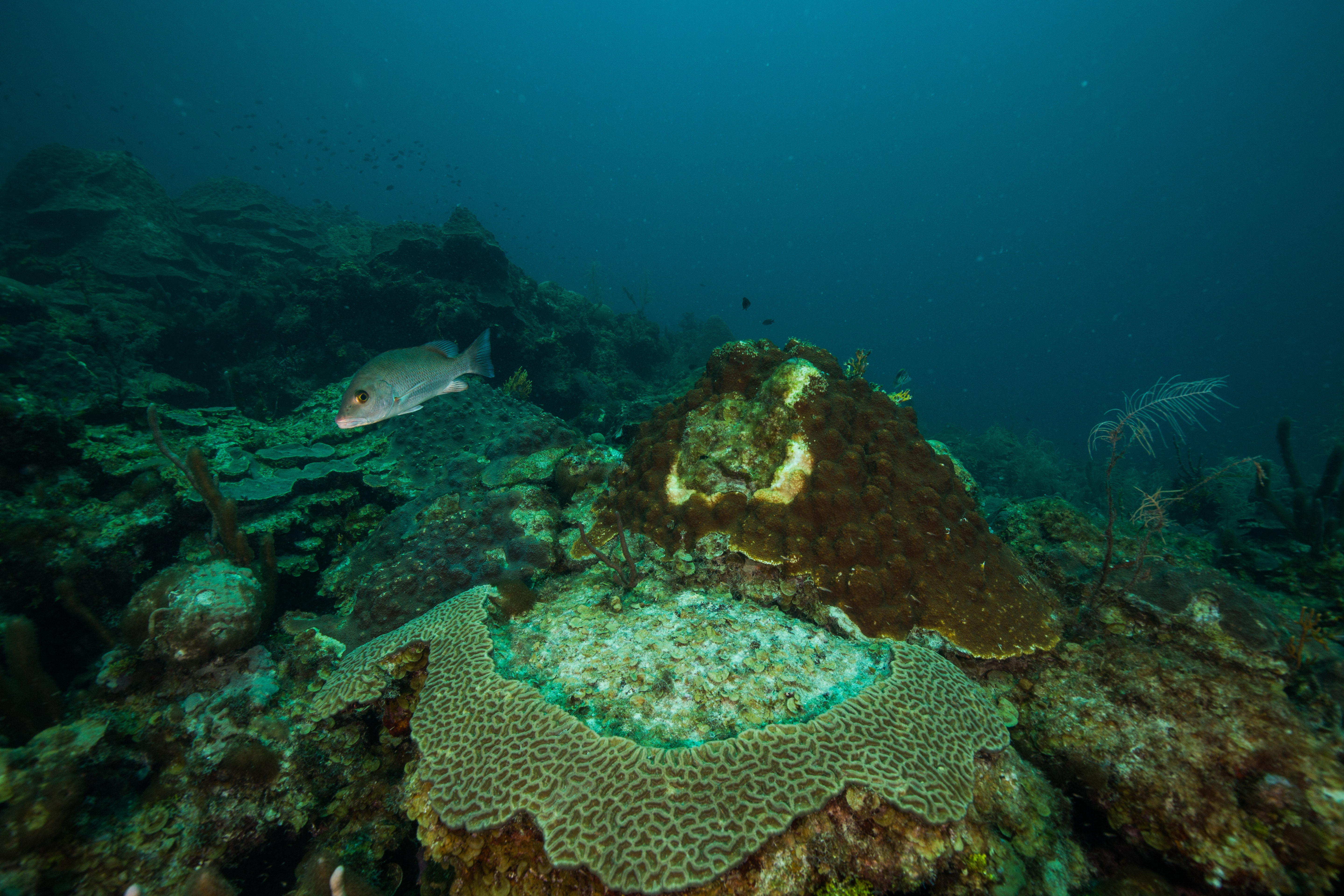
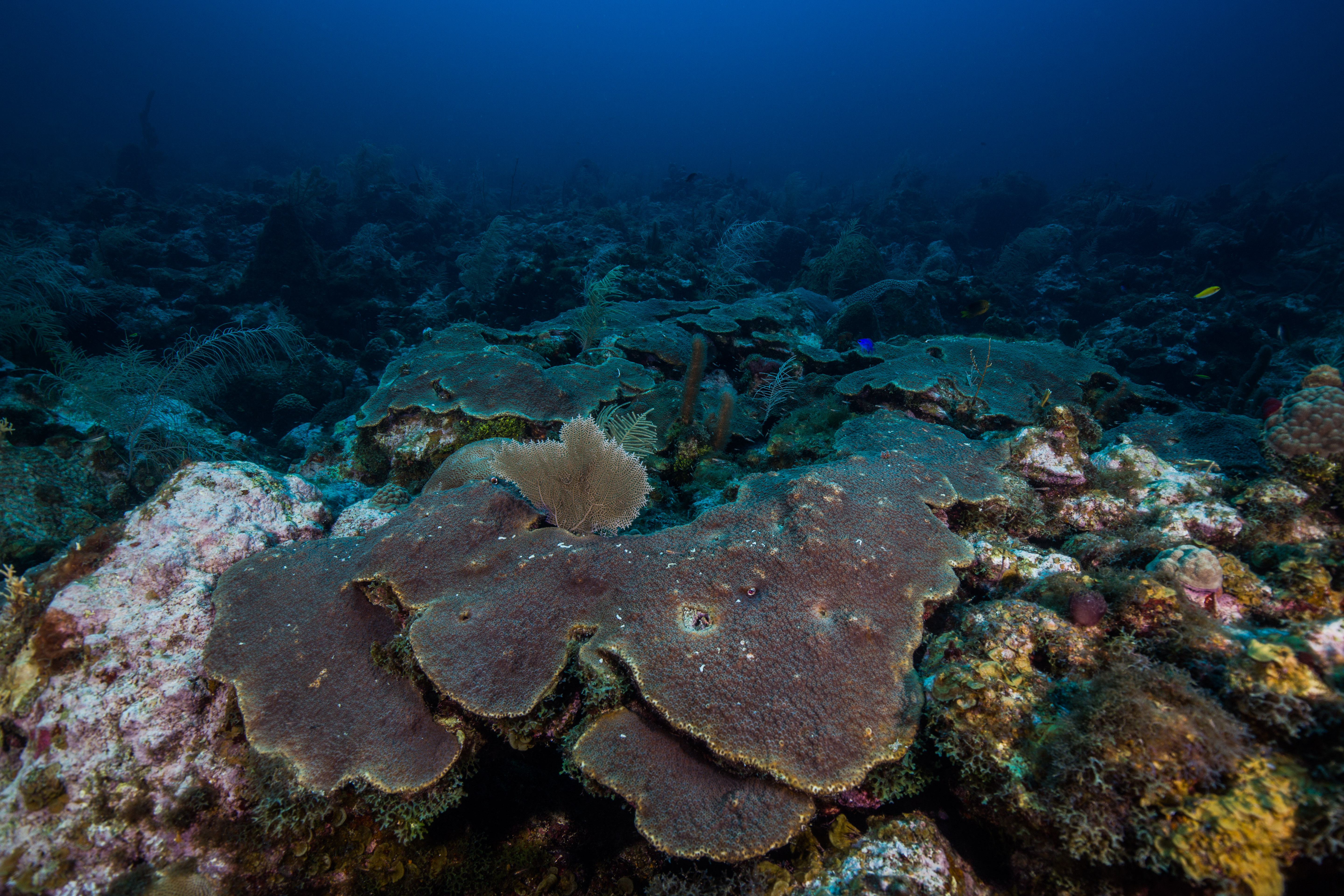
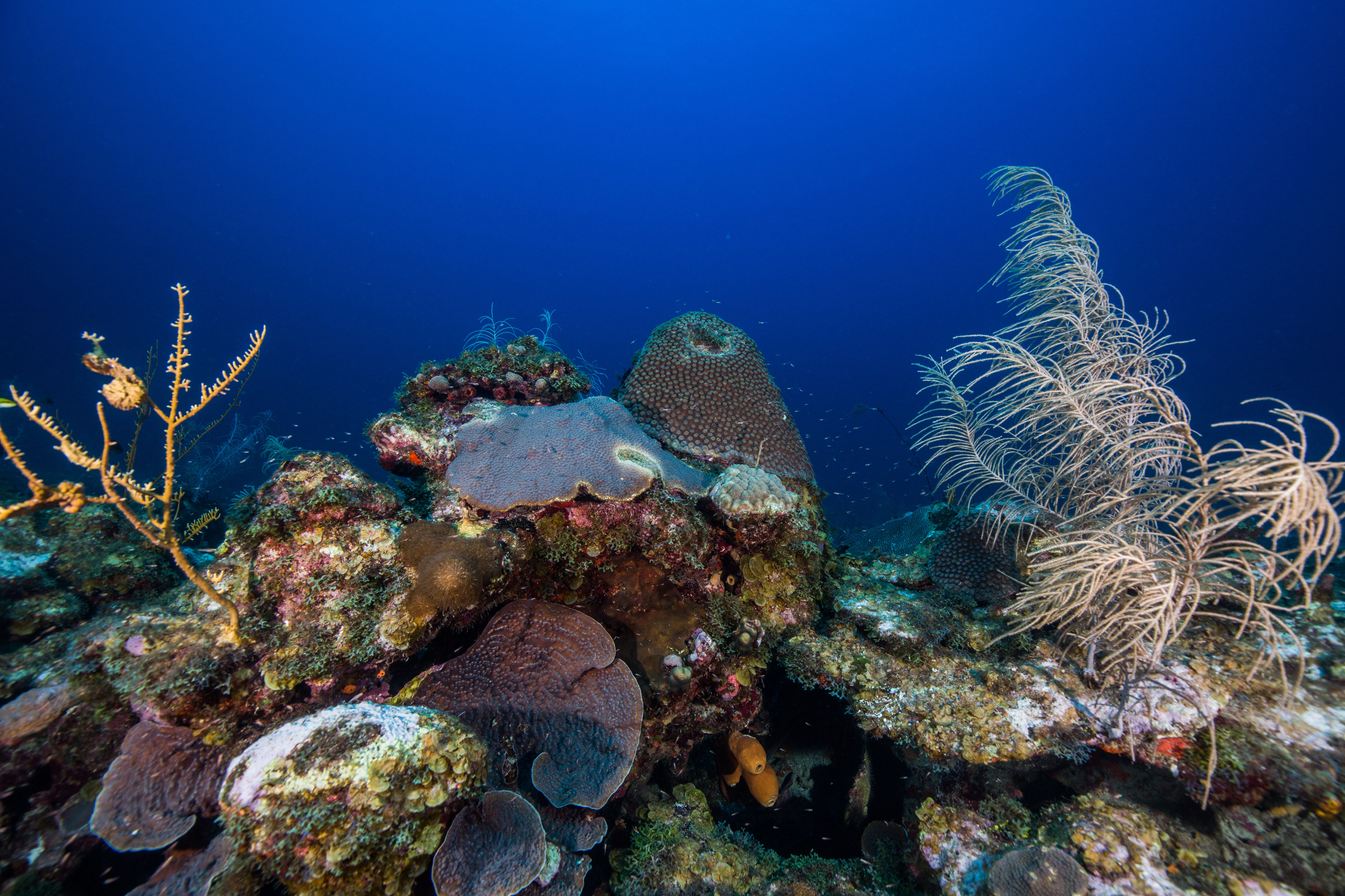
Dry Tortugas is home to some spectacular coral reefs

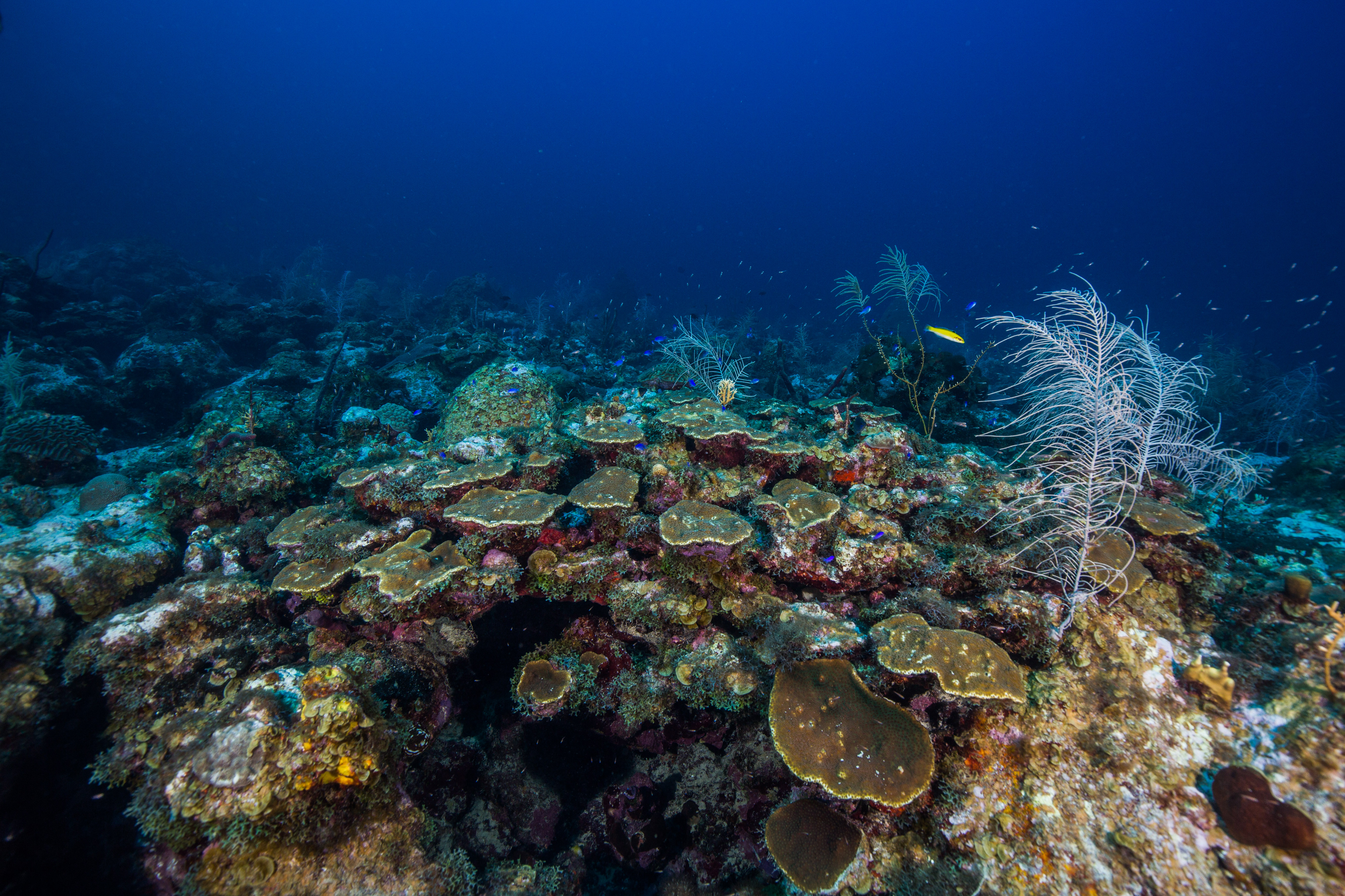
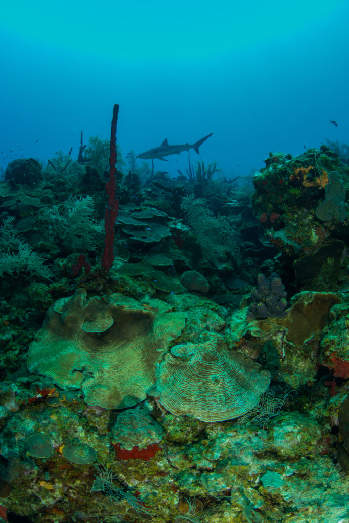
The South Florida and Caribbean Network (SFCN) is part of the Parks Service’s Inventory and Monitoring network – part of the NPS that is in charge of gathering and analyzing information on the natural resources that exist in park boundaries. SFCN covers the marine side of the South Florida and Caribbean parks, an area in which one of the most biologically critical natural resources is the coral reef. DRTO is home to some of the finest reefs in Florida, unlike ones anywhere else in the Keys. Far from any cities or towns, these reefs have been relatively free from degradation by human influences and are in much better shape than many of their near-shore cousins. The reefs here also consist of a reef terrace habitat: a uniquely flat and uniform plate-like floor of corals, caused by lower-light conditions at deeper depths, creating a huge flat plateau of coral growth up to five feet off the sea floor.
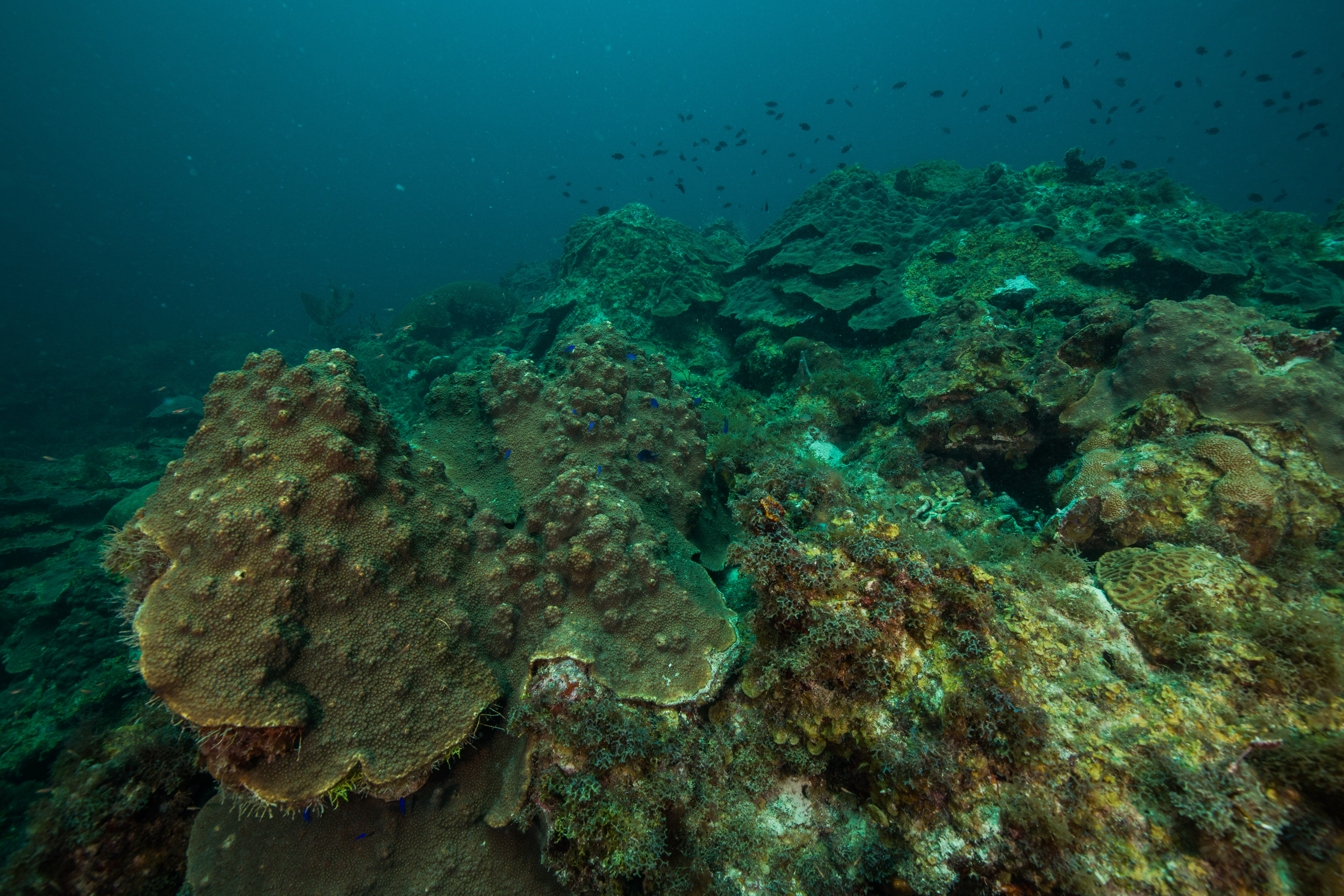
Centuries worth of old coral skeletons lie underneath the exposed surface area

To top things off, these reefs make for ideal fish habitat with their high level of structural complexity hidden in the 5 feet of coral-made structure under their biological roof. The DRTO reefs make up some crucial spawning grounds for certain species of reef fish, due to a mix of ideal habitat and currents and retention gyres working to keep fish around. Furthermore, these reef’s larval supply gets caught up in currents and sent towards South Florida, working to replenish their more heavily impacted reefs. This oceanic linkage was discovered earlier and then protected in 2001, creating a positive response from overfishing after the fact – a conservation success story.


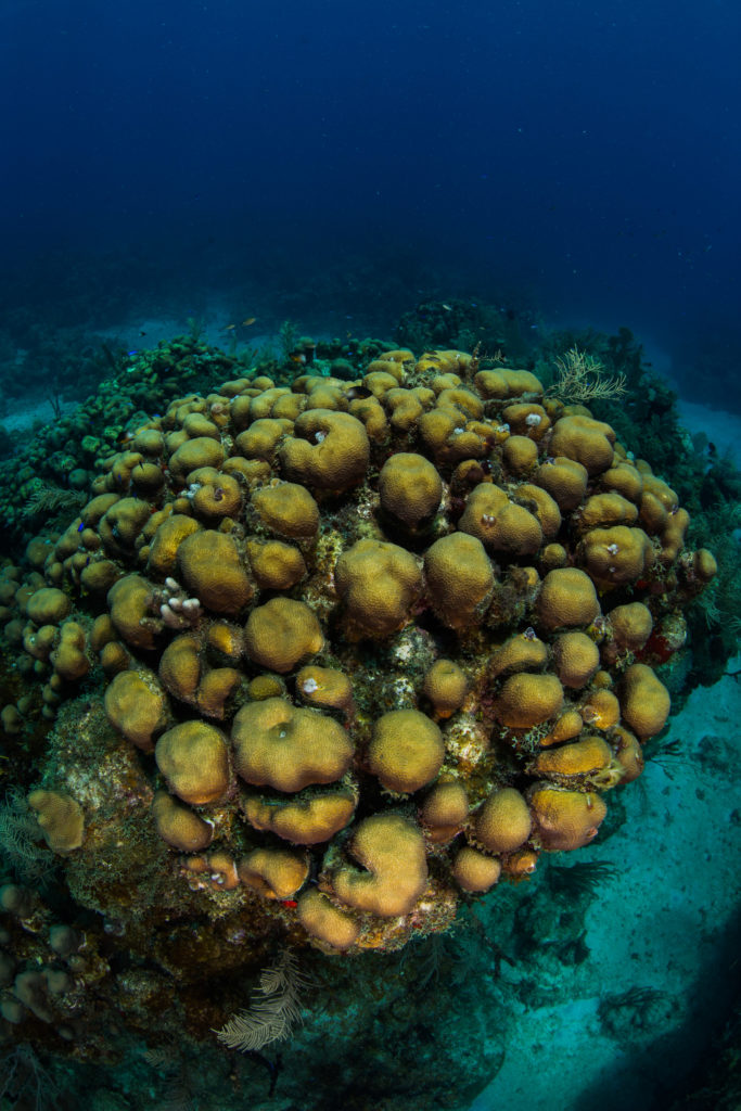
All these conditions make the reefs at Dry Tortugas a pretty special spot- a haven for threatened corals and overharvested reef fish, where they have a slight break from the onslaught of perils sent their way. However, they aren’t safe from everything. Like most of the rest of South Florida and Caribbean reefs, coral disease has made an appearance in DRTO. First noticed on their reefs by NPS researchers in 2008, coral disease (primarily chronic white plague out on these reefs) has had variable prevalence but is becoming more persistent – 2016 and 2018 were especially bad years. In the past 5 years, the SFCN team has noticed around an average of 30% disease-related coral loss at their monitoring sites – especially bad news when coral cover has been on a steady decline since 1979. The disease kills off corals and then sloughs off their tissue, leaving a freshly exposed white skeleton. This quickly gets overgrown by turf algae, which then inhibits growth by new corals.
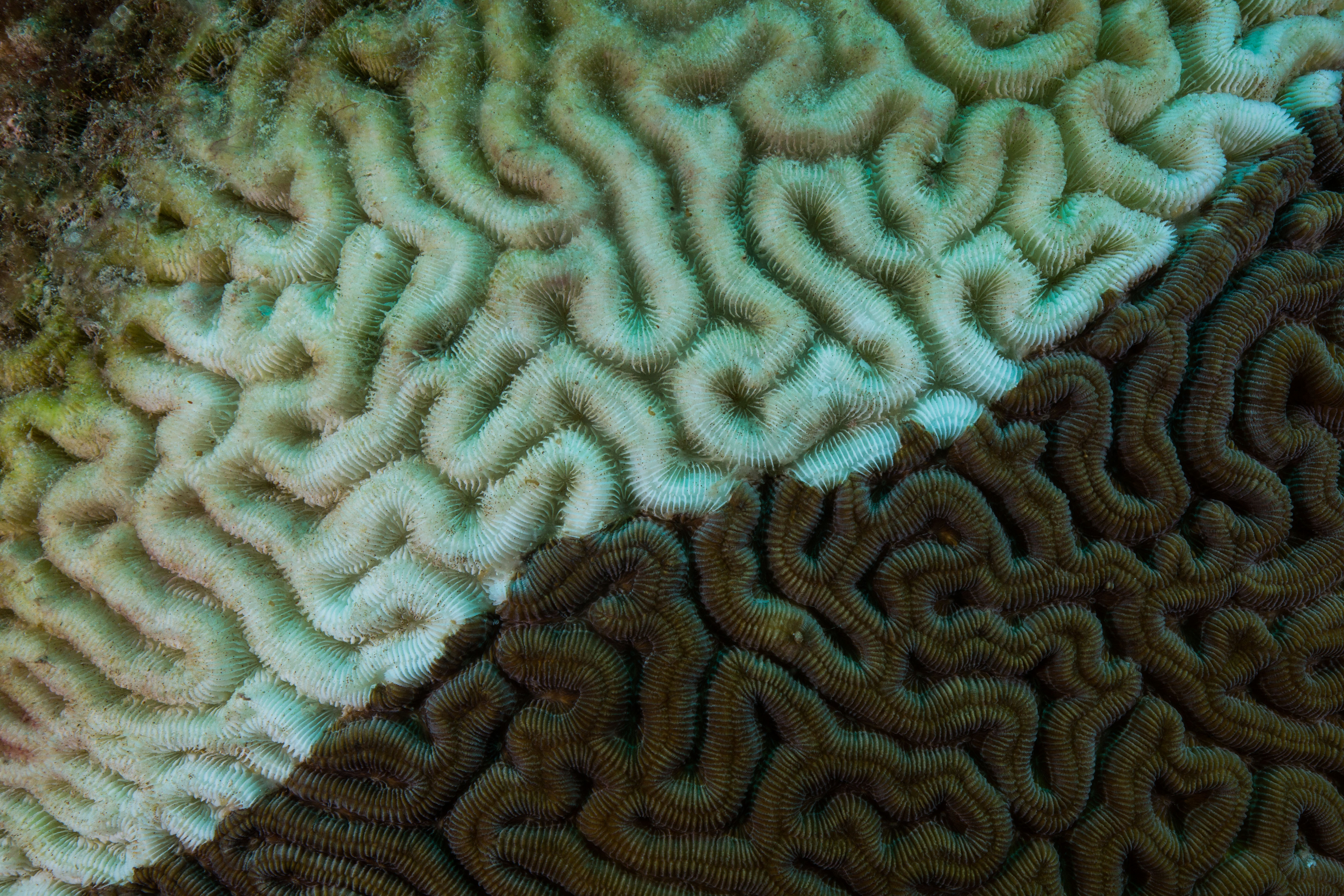
Close-up on diseased coral – the stark white skeleton is freshly deceased, while the brown turf algae encroaching from the corner dictates less recent mortality

The SFCN team works to monitor and report on the state of these reefs to see how they react in response to events like disease outbreaks and bleaching. They’ve been surveying these reefs since before disease reached the Dry Tortugas, making their surveys crucial resources for understanding how these plagues start and spread. I was lucky enough to tag along to see how it all worked.
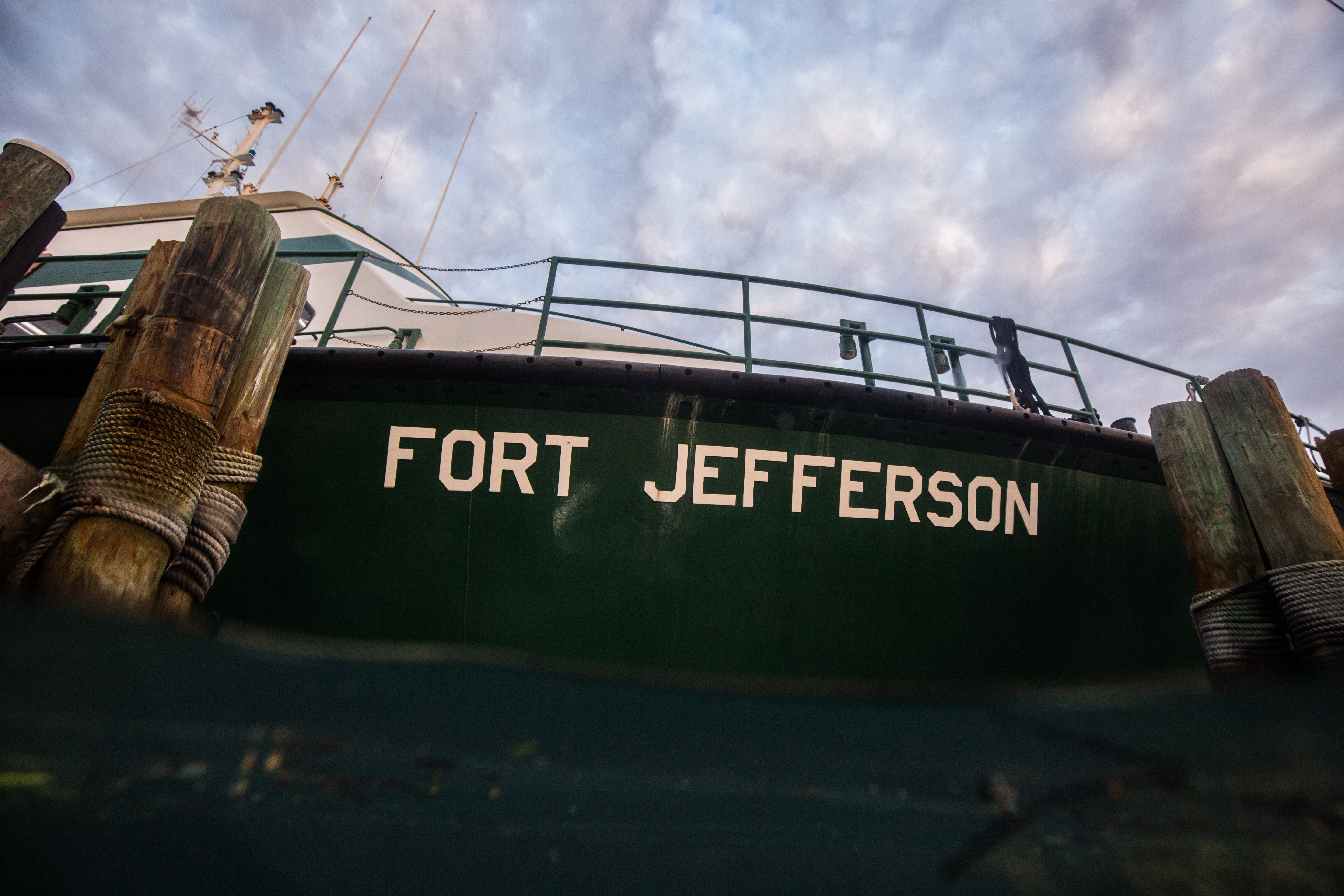
The M/V Fort Jefferson from in the water

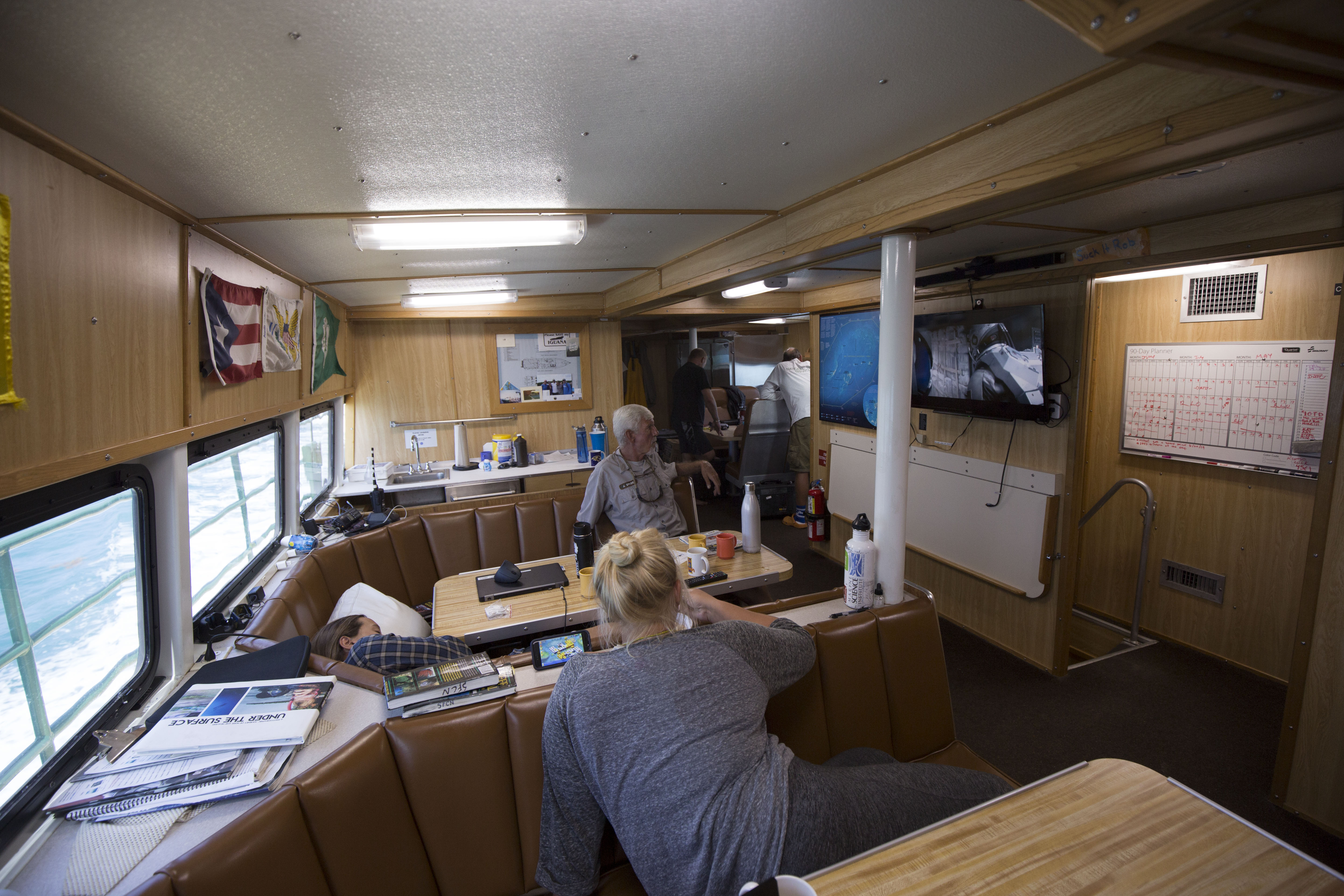
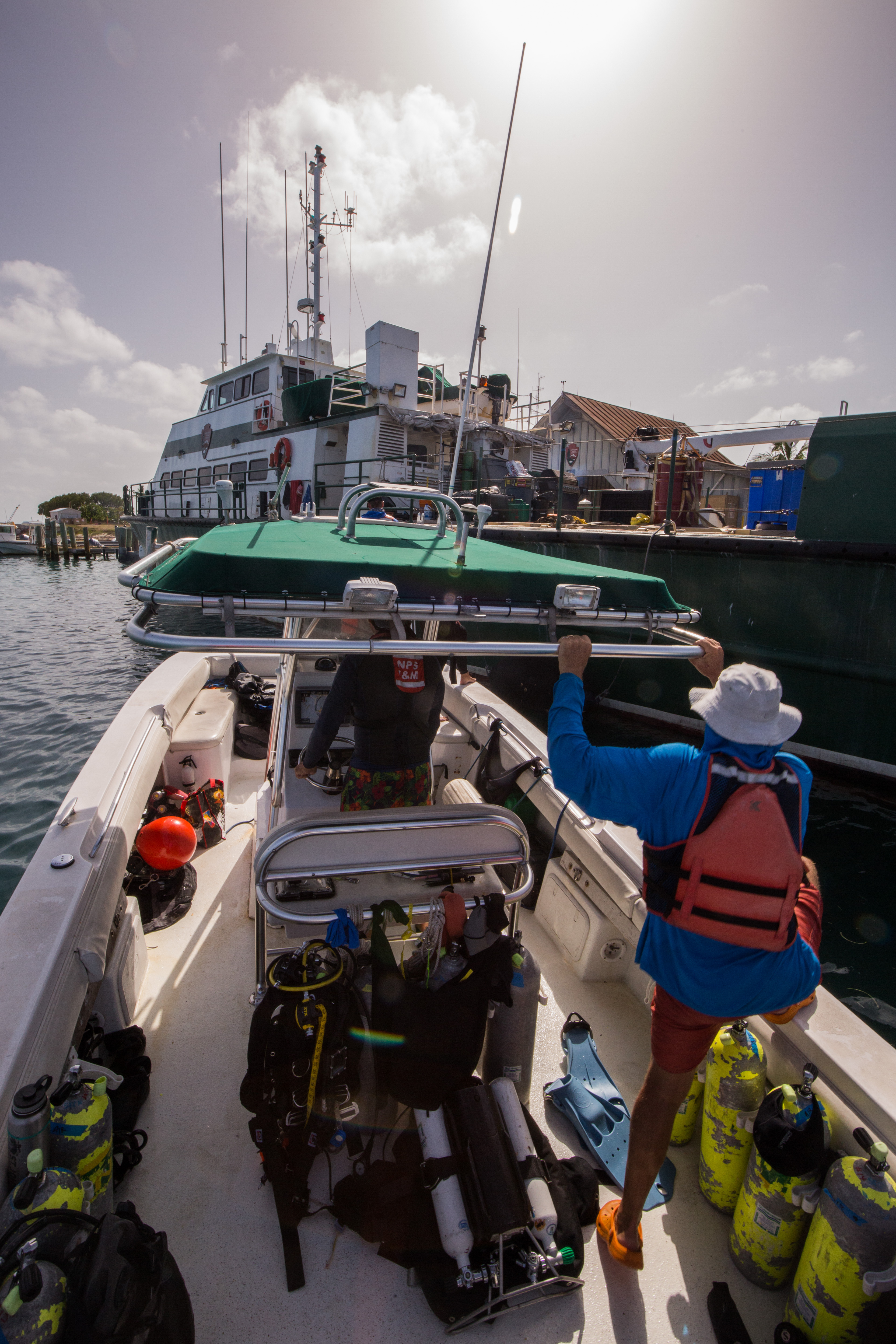
During our time out at DRTO, we stayed on the Motor Vessel Fort Jefferson, the 110-ft vessel serving as a transport boat, research vessel, dive support, as well as any other needs the park may have. While staying on a boat may seem like meager lodging, the M/V Fort Jefferson was far from it. Decked out with a full kitchen, bathrooms, bunks and living area, this was a veritable floating hotel – the only thing it was missing was Wi-Fi. I was here with four marine biologists and ecologists of the SFCN team: Mike Feeley, Rob Waara, Jeff Miller, and Lee Richter, as well as two of their research interns: Steph Topal and Morgan Wagner from University of Miami. Also on board was the Ft. Jefferson’s incredible crew: Captain Tim, Mikey Kent, and Brian Lariviere.

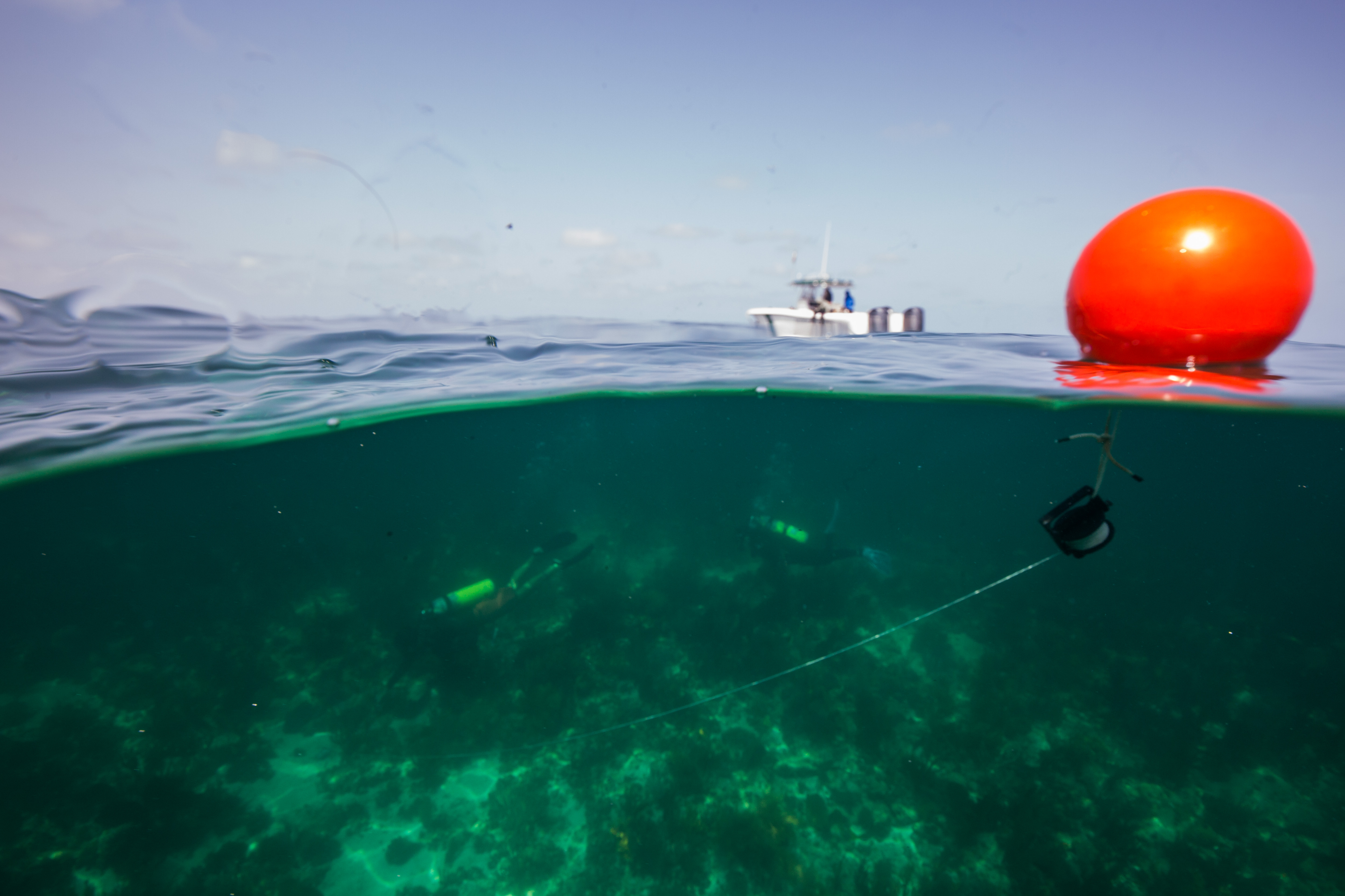
Upon arrival at the Fort, we immediately went to work. With a full trip of benthic monitoring and temperature logger collecting ahead of us, there was no time to waste. Shortly after the arrival of our floating hotel to Garden Key, home of the Fort Jefferson (the brick one, not the vessel), we gathered up our dive gear and headed out on the 27-foot SFCN vessel, the Twin Vee. The first day’s work was easy enough – go to the first benthic monitoring site and set a mooring for our work for the rest of the week, as well as to conduct a quick shakeout dive to reacquaint everyone with their gear and the ocean. The first monitoring site is at a spot called Bird Key – a highly rugose reef that was one of SFCN’s initial survey spots in the area, as well as the first spot that disease was a serious issue. Not much disease persists here anymore, but its impacts are still obvious: coral cover has dropped in response to around 8-12%, potentially only leaving the few resistant ones remaining.  During our shakeout we had a brief chance to explore – the reef was peppered with small canyons reaching down to the sand, one with a small swim-through, making for fun diving. I was excited to spend the next couple days here, exploring more of what the site had to offer.

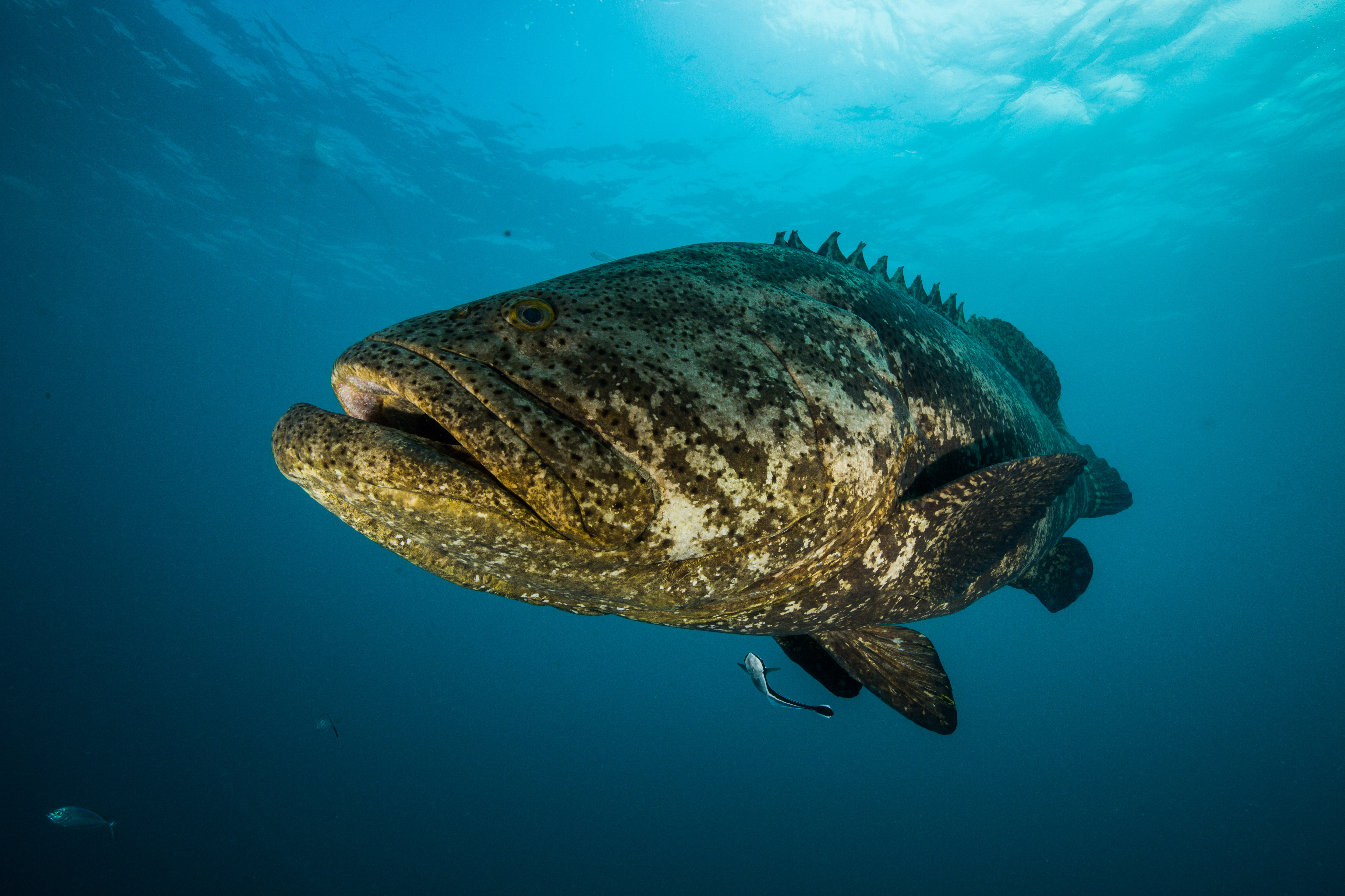
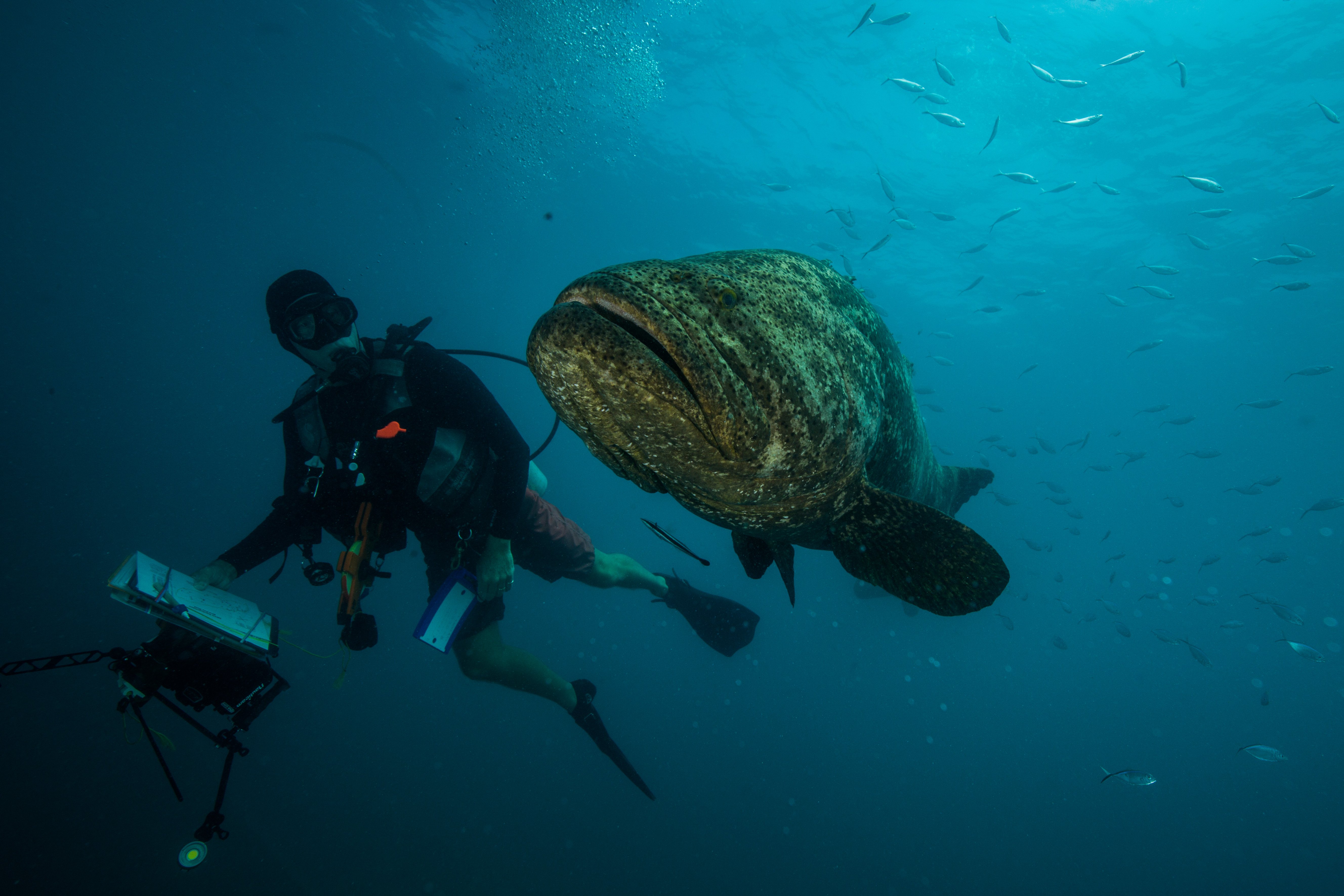
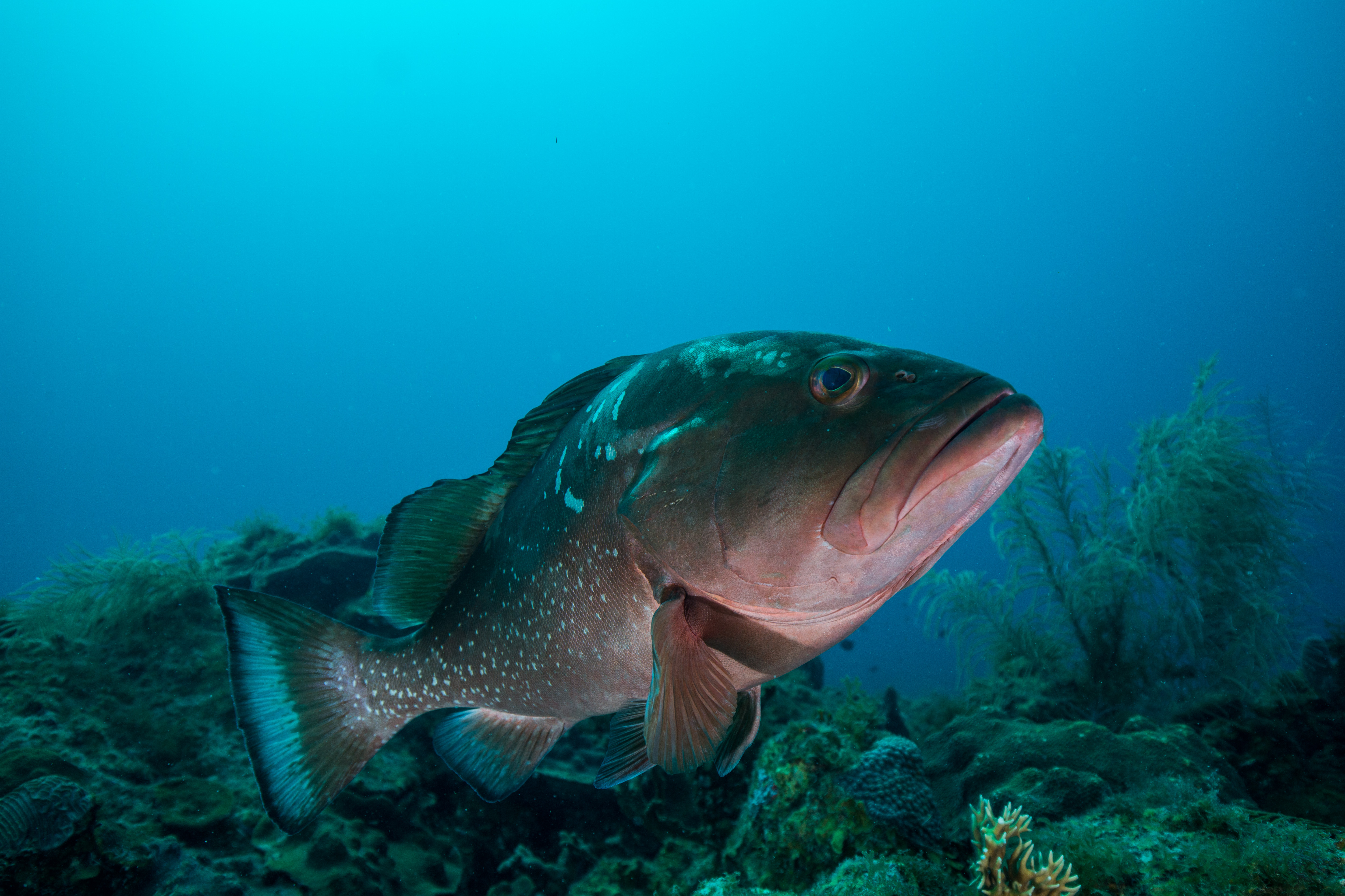
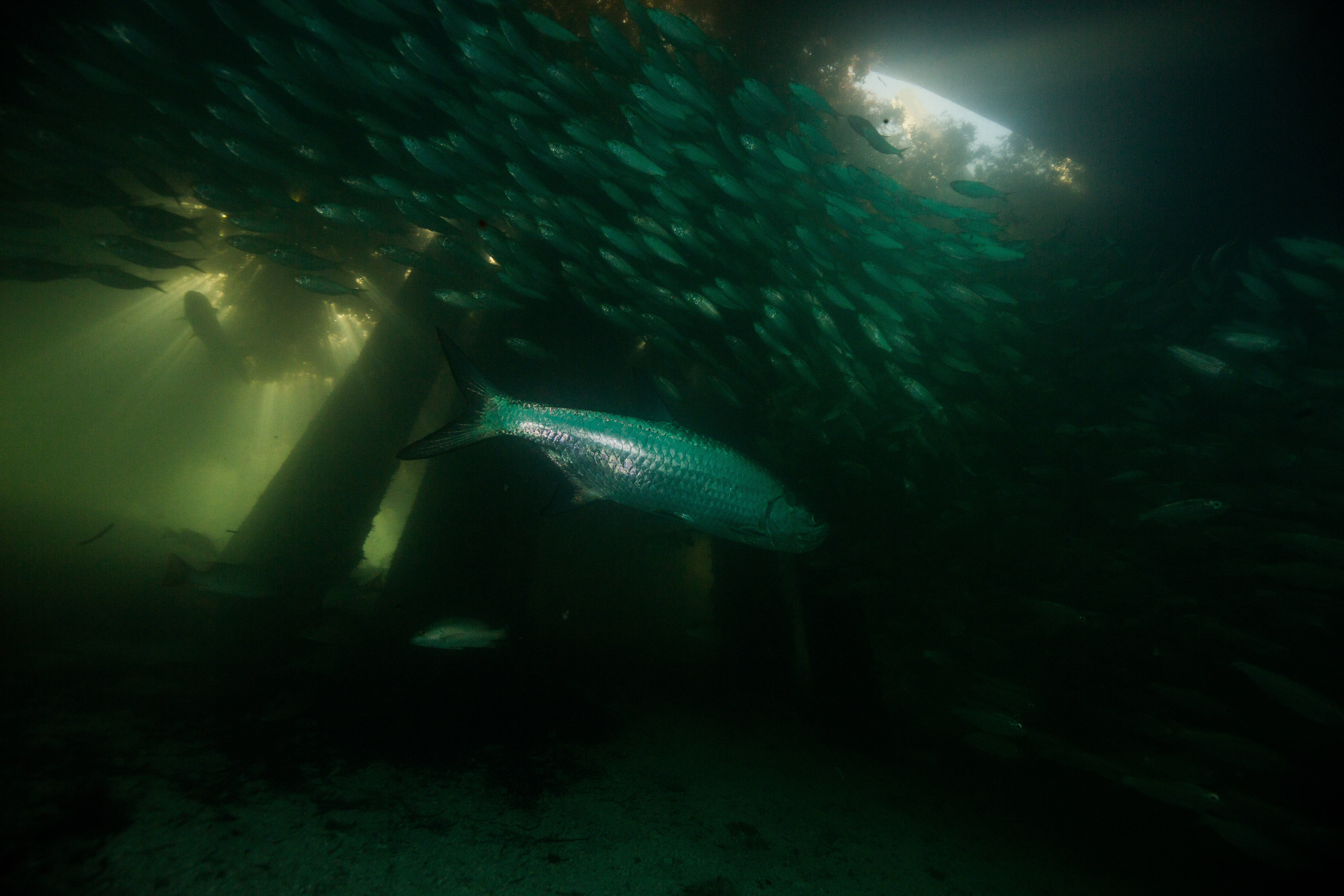
On our return to Garden Key, I had a chance to check out something that I’d been thinking about ever since reading the blogs of past OWUSS NPS interns. Living underneath the M/V Fort Jefferson and the docks it moors up to are at least three goliath groupers, groups of tarpon, and tons of baitfish. I was eager to go spend some time amongst the fishy masses so pretty much as soon as we returned from our dive I grabbed my camera and jumped in. The density of biological life in such a small location was really thrilling – I’d dive through a thick cloud of fish to reach clearings with slowly patrolling tarpon, pretending to be ever uninterested in their tasty prey that swirls around them constantly, and then swim a little deeper to be met with the gigantic face of a 500 lb goliath grouper (or two, if you’re lucky). Having this much action right underneath your housing was pretty unbelievably convenient, so I stayed in the mix until the sun set and I didn’t have enough light to see in the dim underbelly of the docks. Ending my first day at DRTO swimming with hundreds of fish had me thinking it couldn’t get any better, but I sure was wrong.


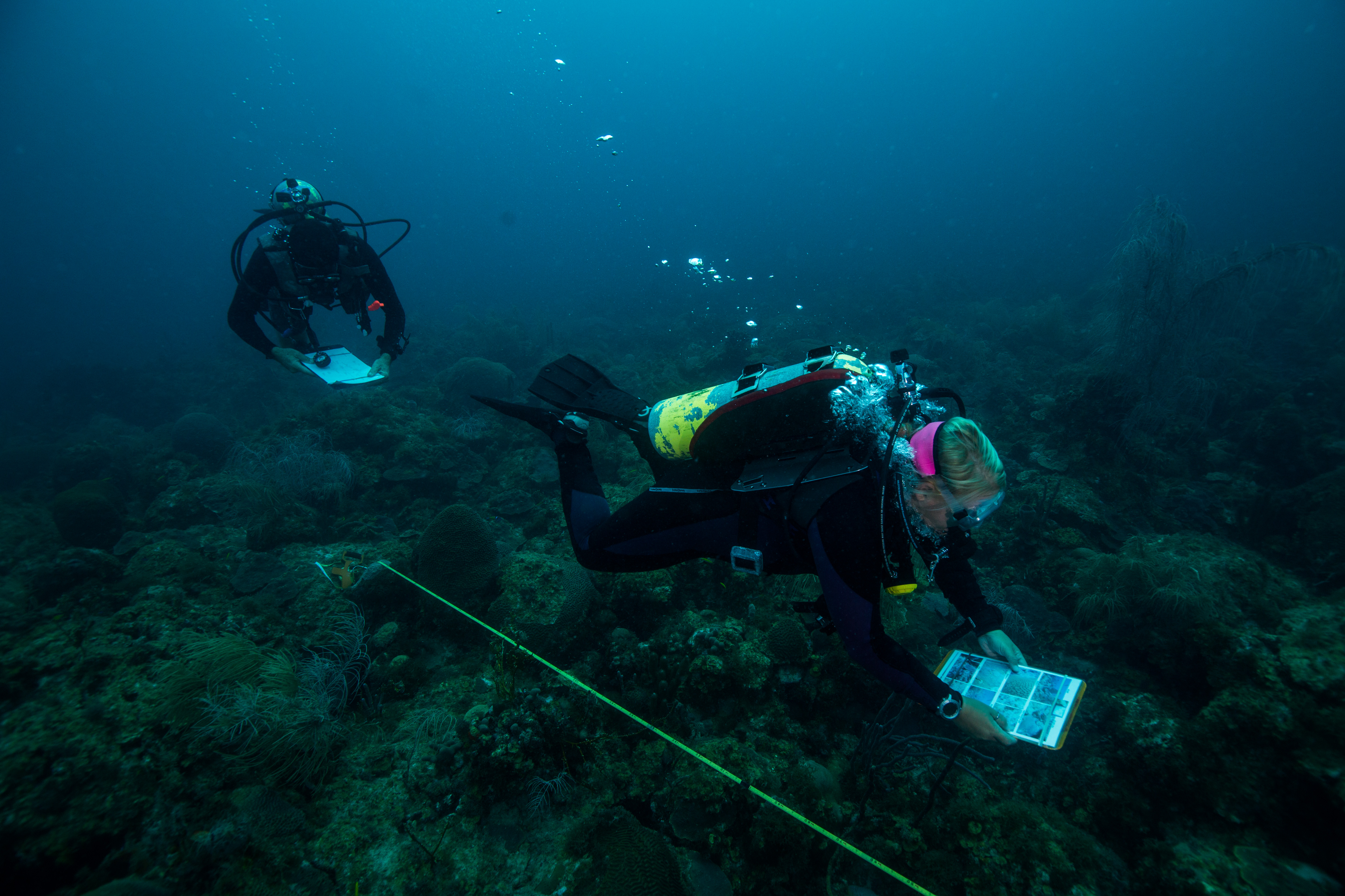
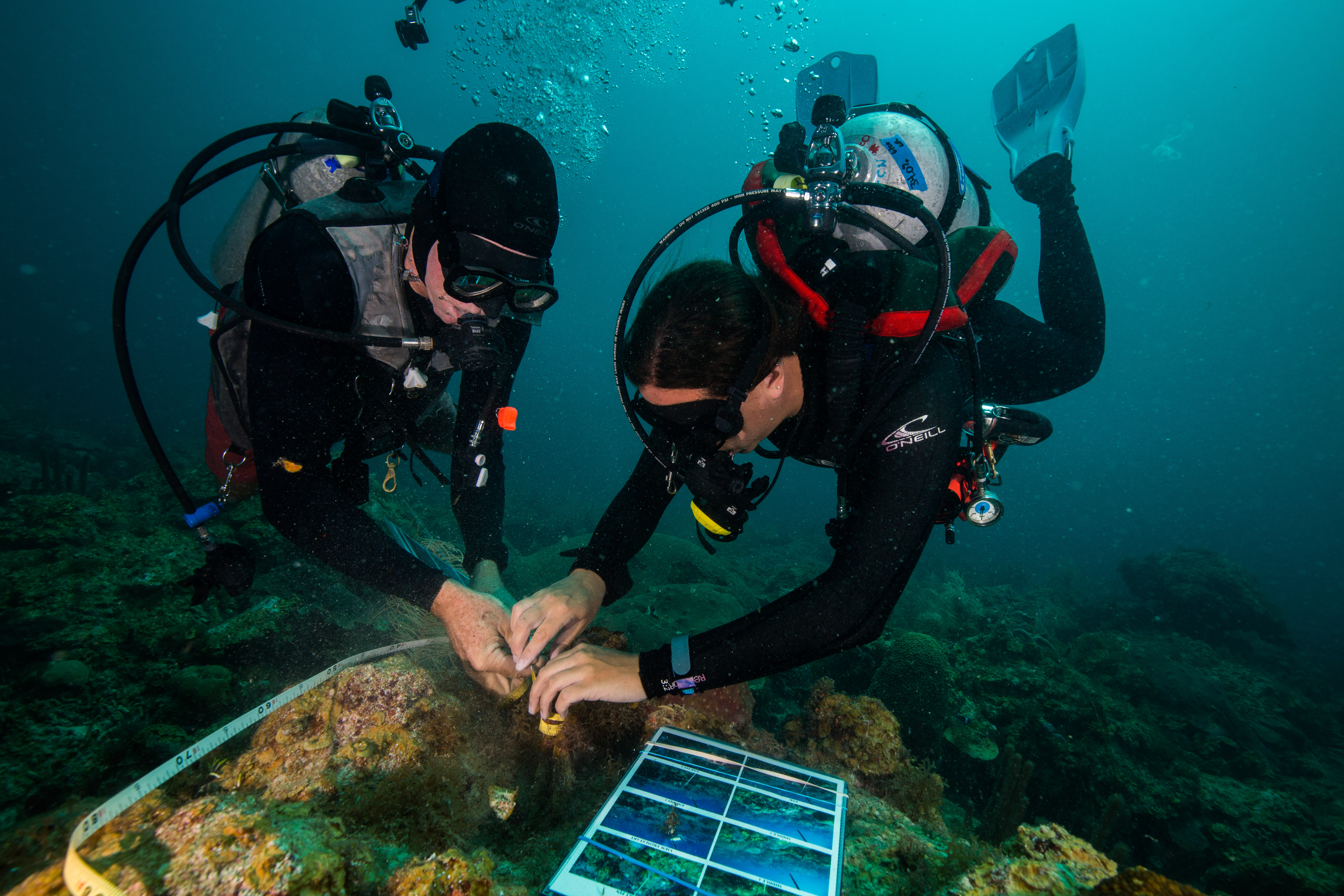
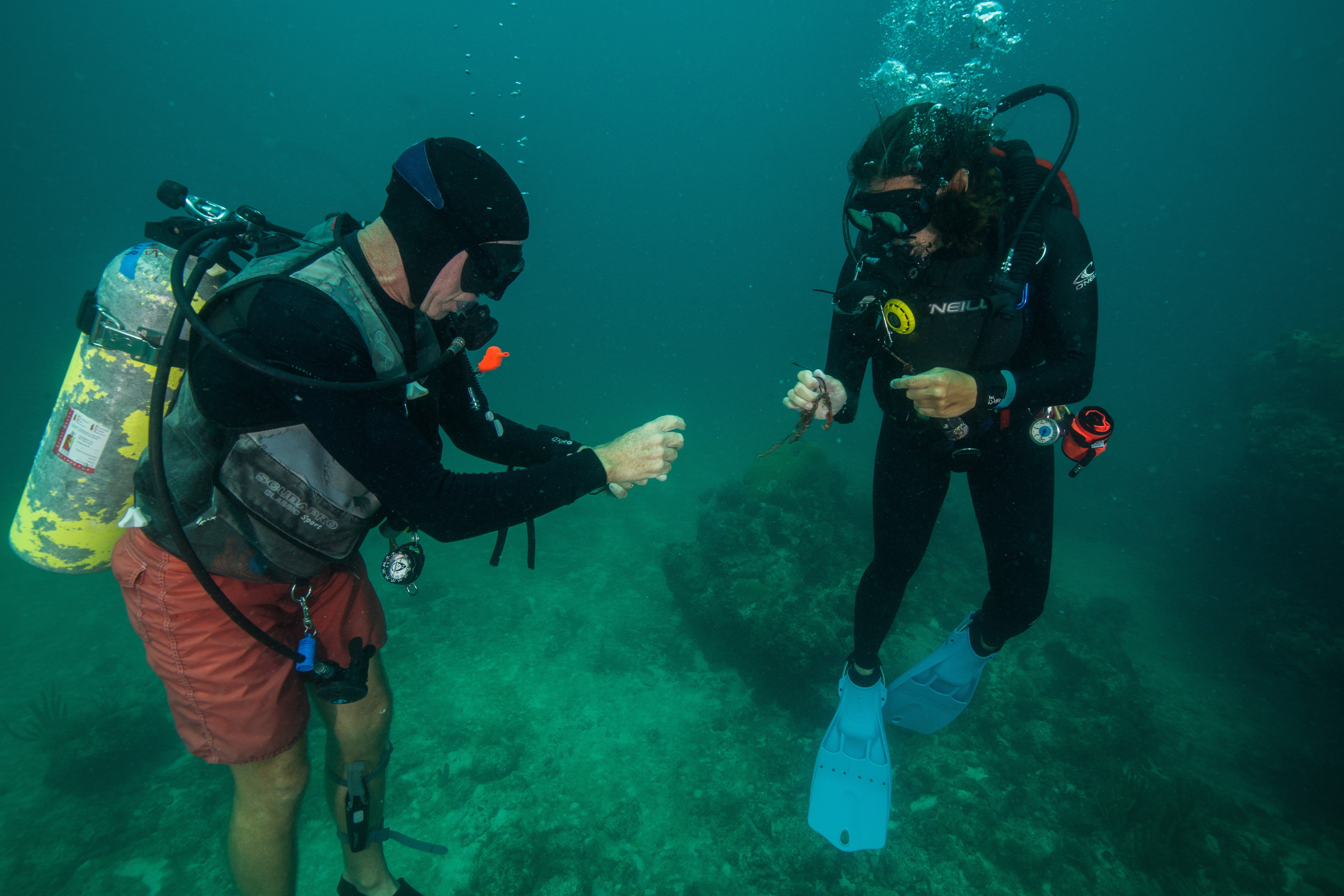
The next day we started work in earnest: benthic reef monitoring at the Bird Key sites. This monitoring requires two teams. The first one, the recon team, is in charge of finding preset pins (big 1-foot metal spikes) nailed into the reef and running a transect tape between the two for the second team, the survey team, to survey. This recon team sounds like it has a pretty easy task, and it would be if it weren’t for the tenacity of life underwater. In a marine environment, things grow fast and they grow wherever they can. This makes locating metal pins rather difficult, as they quickly get overgrown with algae, sponges, hydroids and tunicates which make them seem to melt into the surrounding reef. To complicate things even further, the structure and life of the surrounding reef changes as well, which can work to obscure any obvious landmarks used to locate the pins in previous years. At the Bird Key site the transect locations are not particularly close to each other – to find one, you must start at the previous one, then follow a certain compass bearing for a set distance. At this point you have to start searching for an almost certainly overgrown metal pin that can be sticking out anywhere from 10 cm to 1ft out of the reef. The SFCN team has laminated maps of sorts – with compass bearings and distances listed from one transects to another, as well as with pictures of obvious landmarks to use when locating points – but that only helps so much. A careful eye is a necessity in this type of work. And of course, when one pin is found, the work isn’t over yet. Then you have to begin the whole process over again to find the second pin to end the transect itself. Sometimes, setup can be a lot of work.

While the setup team was hard at work searching for pins in a reef, the benthic monitoring team was following in their footsteps collecting data. With a team of three collecting data on coral disease, benthic composition, and coral health, they made quick work of a transect. To make things even more efficient, the team collects their data using iPads in underwater housings, which not only makes for easy data taking with the ability to easily integrate photos of disease but also allows for quick data entry – as all you have to do at that point is upload the info. While I spent most of my time at Bird Key with the setup team, I was able to join the monitoring team for a couple of dives and watch them at work. Watching them tear through a transect like it was nothing was pretty impressive.
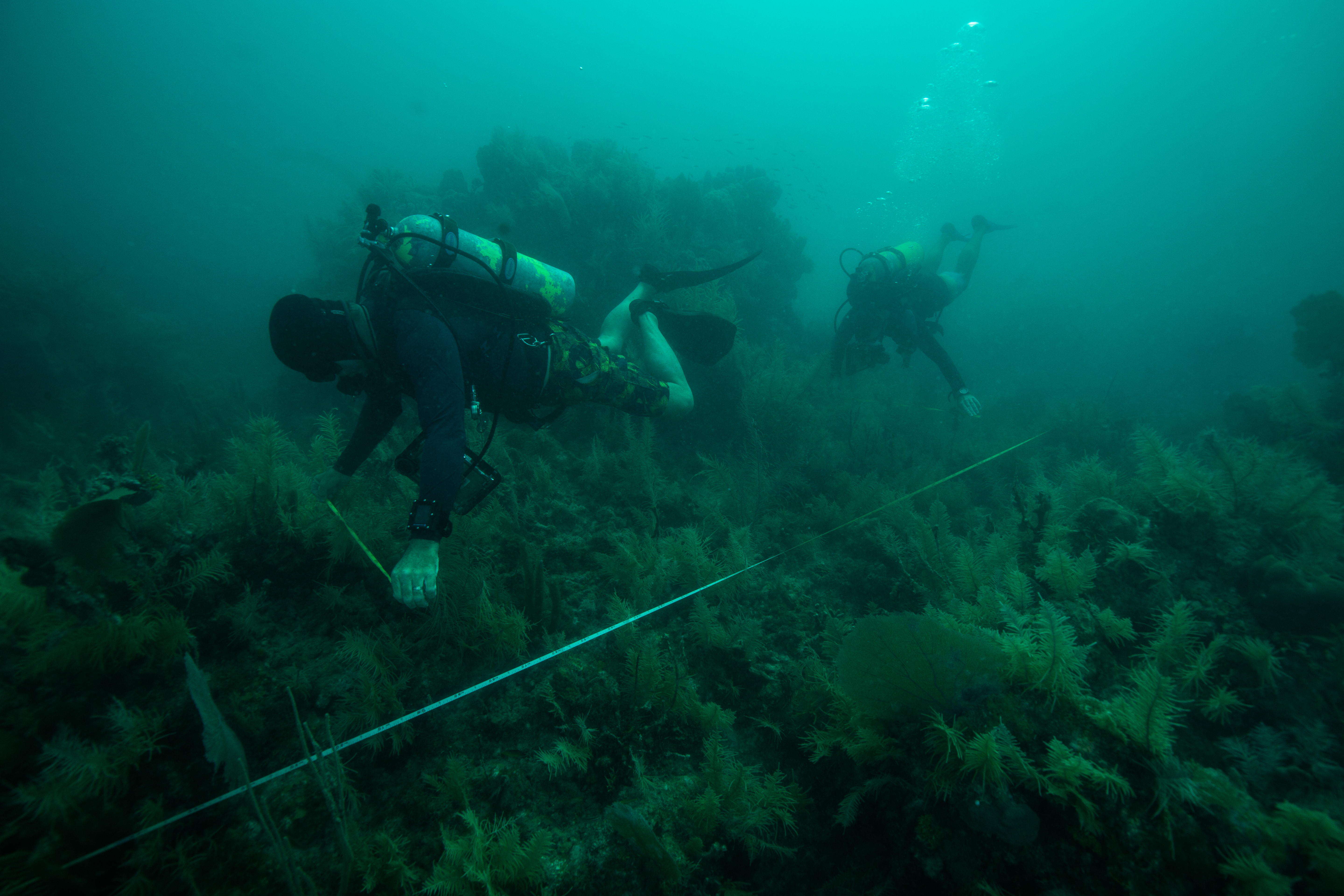
Mike Feeley and Lee Richter making quick work of the transect

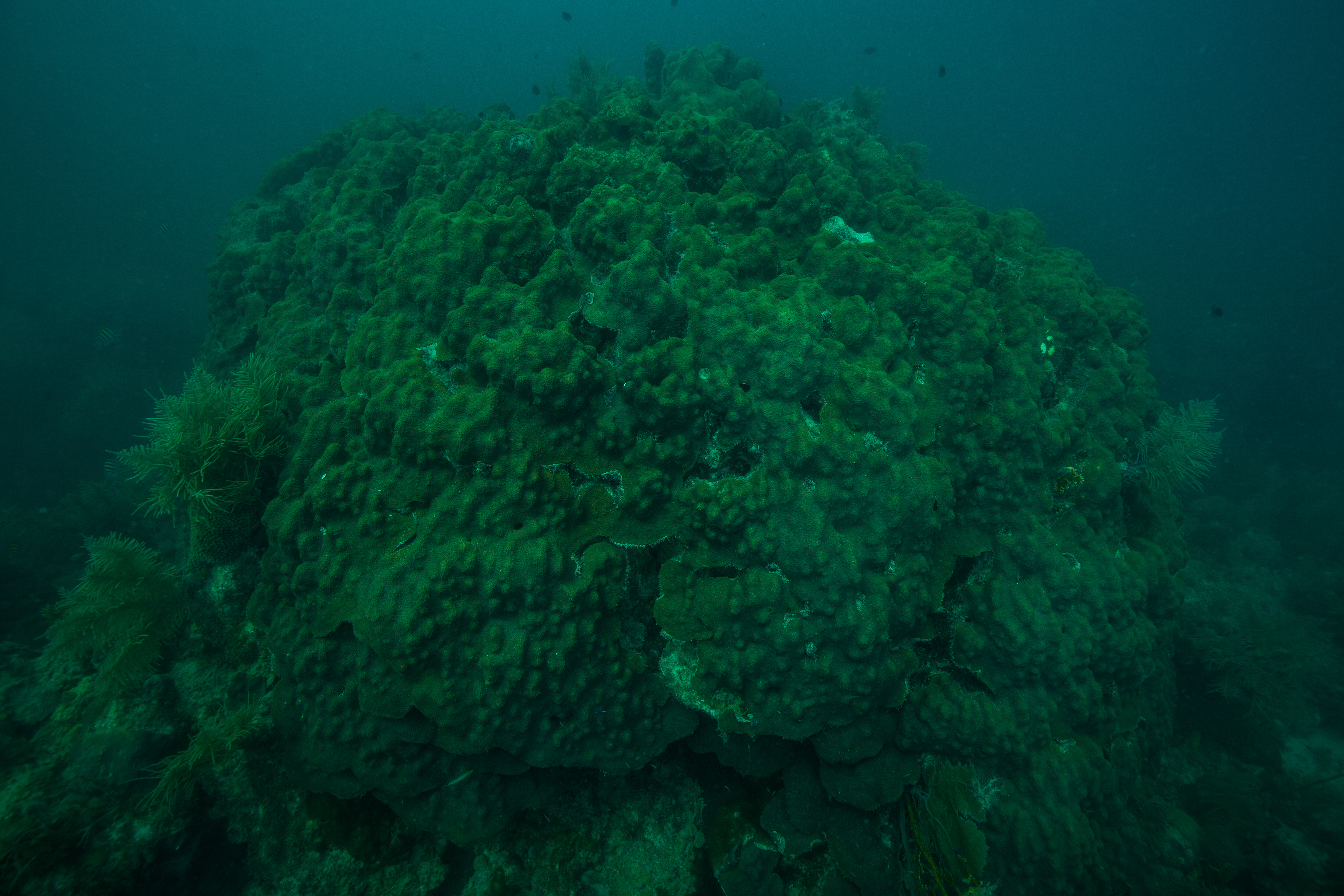
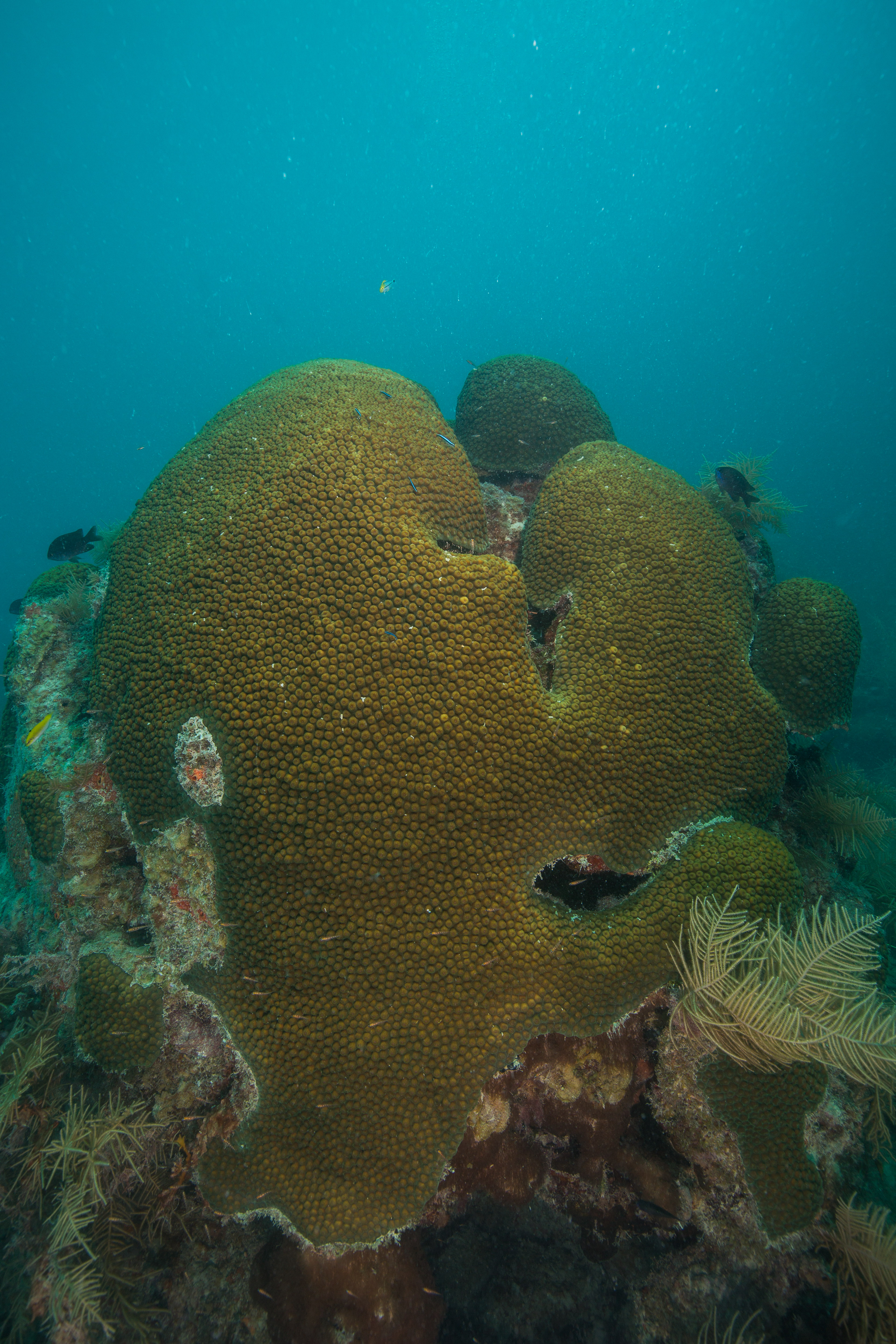
With a team this efficient, we made quick work of the Bird Key sites, finishing up in two days. Despite lower vis than other sites, Bird Key was a fun spot to dive. Lots of cool structure, one of the biggest coral colonies I’ve ever seen, and a huge and friendly resident goliath grouper that became accustomed to hanging out under our boat made for some pretty nice dives.

The next couple of days we started working at a new reef, one named Santa’s Village (after the elf hat-shaped coral heads peppered around the site). Here, I worked with the setup team to find the pins and run transects as the monitoring team was diving on closed circuit rebreathers. These sites were much easier to setup than Bird Key, as instead of following a treasure map of transects we just had to find a center pin and then locate transects that were just 10m in cardinal directions from there. That made for a much easier setup, which gave us ample time to explore these sites. Beautiful reefs with pretty spectacular coral cover for the area, it was fun spending time to look around.

Here, our setup team consisted of the three interns (myself, Steph, and Morgan) and Jeff Miller. Jeff, who has been diving on these reefs for many years now, was a valuable resource to have around as he knew these spots like the back of his hand – he could tell you how that coral head was looking last year, or what makes that particular colony so unique. In our post-setup exploratory swims I stuck around his side and tried to soak up some of the information he had to offer. As someone with no previous experience in this area I had lots of questions for him, and highly appreciated being able to get such detailed and site-specific answers. However, these answers weren’t always happy ones. A rather typical post-dive discussion between Jeff and Mike would often be a somber reflectance of what it once was. The sites were visually striking in the volume of life present to an outsider like me, but a sad reminder of a steady decline for those who visit them once or twice a year. With this in mind, I tried to work with Jeff on the majority of our dives to document specific cases of disease, coral recovery or loss, or particularly healthy colonies – a nice way to put my photographic abilities to work.


Returning to the M/V Fort Jefferson after a hard day at work

After a hard day at work monitoring, the team would offload gear from the SFCN’s Twin Vee to the M/V Ft. Jefferson, go through the prerequisite gear rinsing and decontaminating (due to the widespread coral disease in South Florida and the Caribbean, daily decontamination is becoming a pretty boilerplate process in most subtidal research operations) and start work on tank filling. This often left us a couple of hours free before time to begin dinner preparations – and what better to do than to get back in the water? Dry Tortugas was home to some pretty incredible snorkeling: the giant goliath groupers, baitfish and tarpon under the dock to the coral-encrusted fort walls themselves, to the patch reefs surrounding the islands. There was enough there to keep an underwater photographer busy for weeks. I took full advantage of all the free time I had, hopping back in the water with a mask, fins and camera almost every day of the trip.

Once we had polished up monitoring work at the Santa’s Village sites, we moved on to the final batch of baseline monitoring sites for the trip: ones at Loggerhead forest, a reef offshore of Loggerhead Key. These sites were set up in the same way as the ones at Santa’s Village with the easily located transect pins, which gave us lots more time to explore the sites and take them in. I found these sites at Loggerhead forest particularly beautiful, with some big and healthy-looking Orbicella and Colpophyllia colonies and lots of fish, but heard from the team that they’re now just a fraction of their former beauty. This illustrates the importance of baseline monitoring like this. Without knowing the past state, one could easily assume that the reefs are doing great with their high coral cover and fish density. When compared to previous years, the state of decline is more obviously clear.


As well as monitoring these sites, we worked on collecting and offloading temperature logger data. Over the years, the SFCN team has set out a large number of waterproof temperature loggers at various locations throughout the park to keep an eye on how things are changing. These loggers, which are located at all of the baseline monitoring sites as well as a collection of other select locations, must get their data offloaded occasionally to ensure they still have room to keep taking measurements. We did a good number of quick bounce dives (some required more searching for the logger than others) to offload data, which doubled as a great way to get a quick look at a wide variety of different sites.

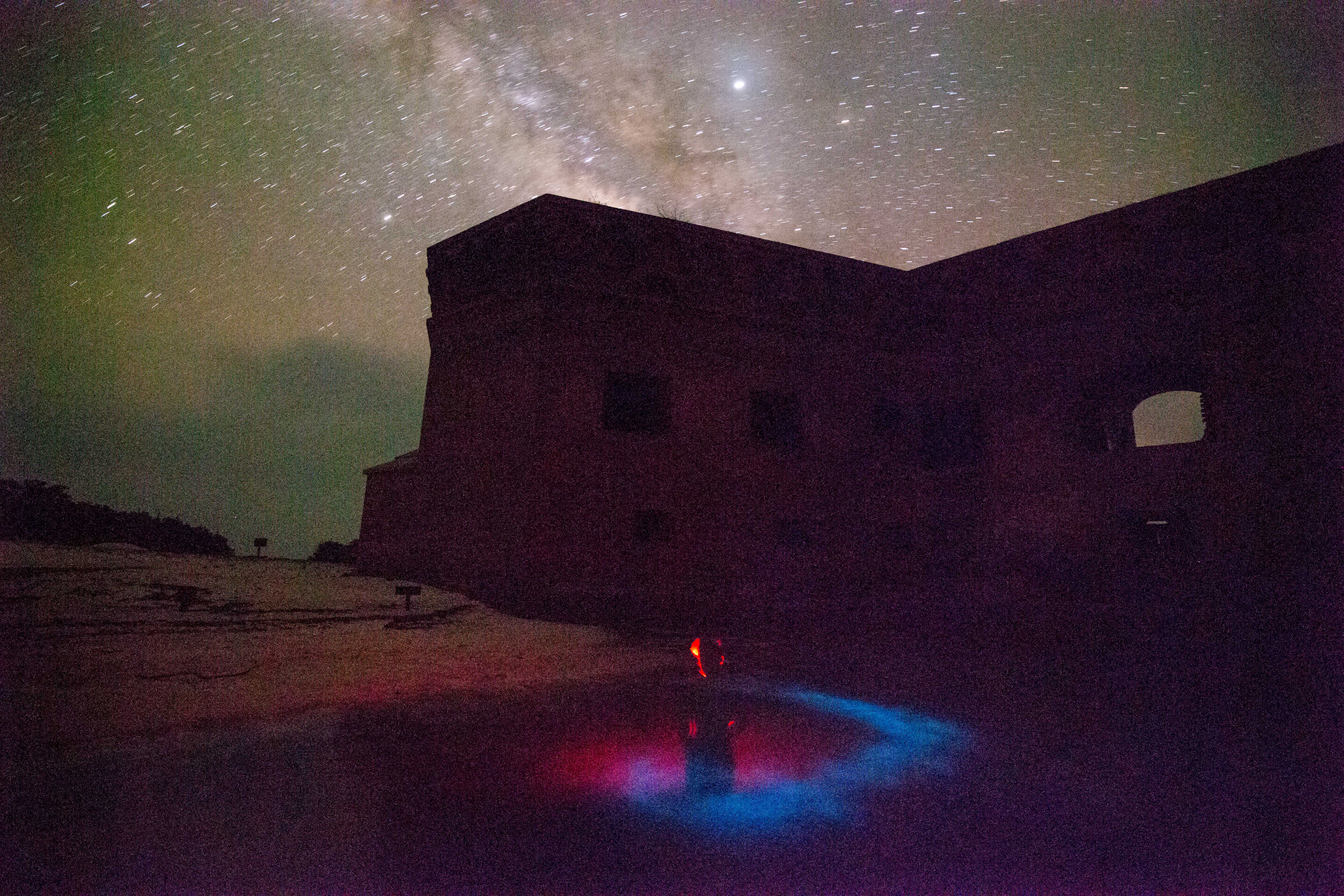
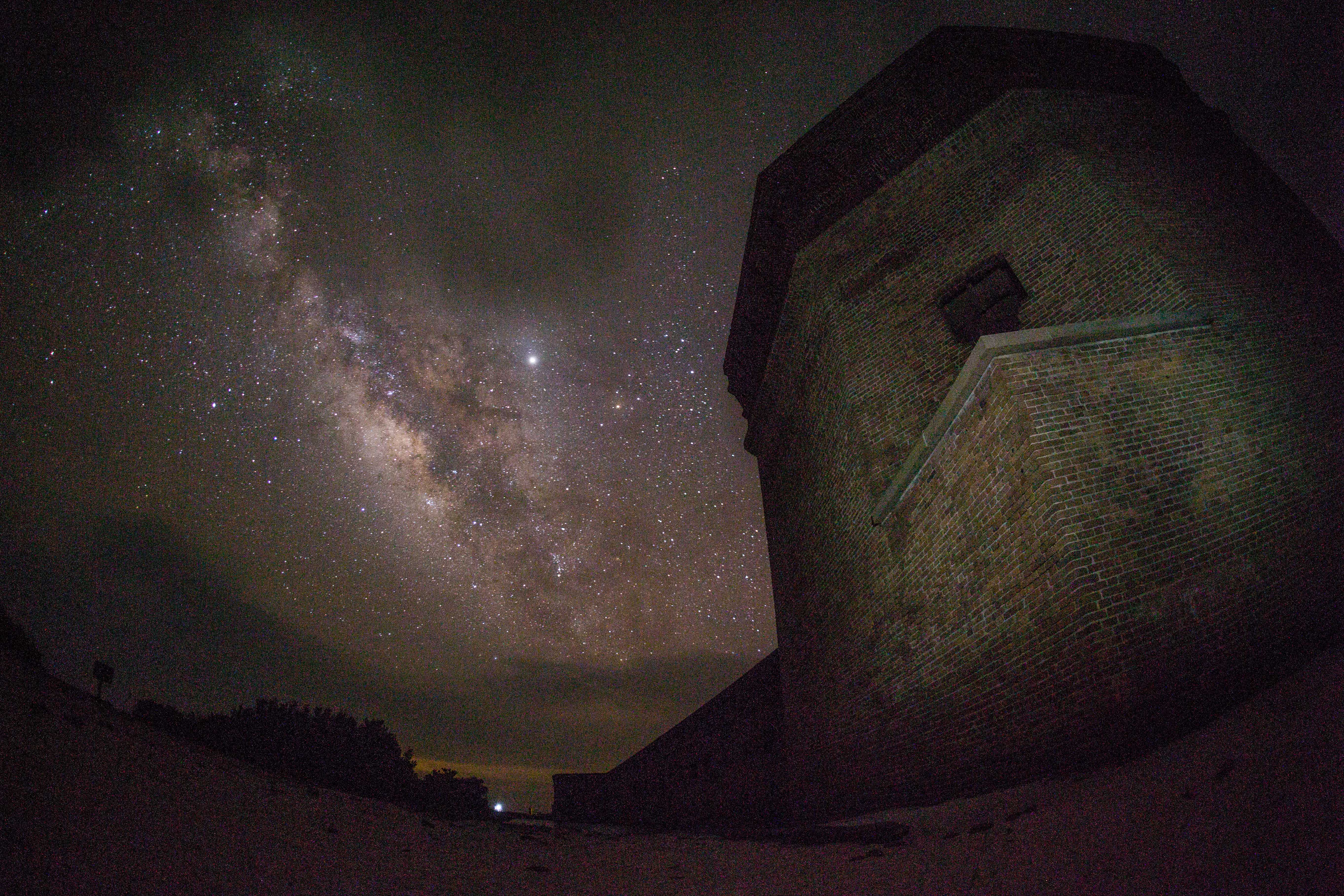
Between all of the diving, snorkeling, photo processing, and sleeping that I was doing at this point in the trip, I really didn’t have too much time for much else. I was so preoccupied with that batch of activities (and they sure were nice ones to be preoccupied with) that it took me until about halfway through our time at DRTO to realize that some of the finest photographic opportunities this park has to offer occur after the sun goes down. Being located on an island that’s almost 70 miles away from the closest civilization makes for some pretty dark nights – which means that there’s some killer stargazing. Even more exciting to me was the discovery that the waters surrounding the fort are packed with bioluminescent organisms, creating an incredible glowing display when disturbed. These nighttime activities came to occupy my late evenings as I tried to capture all of their glory, keeping me busy each day after the sun went down.

After all of the monitoring had been finished and the temperature logger data had been collected, we only had one last thing on our to-do list: some photogrammetry. While I’m now no stranger to photogrammetry after my time with the SRC up in Isle Royale National Park, I’ve never been involved with it being put to use on biological resources. After some careful work, it allows for the creation of a highly accurate model, which can be used to examine reef health and condition. The setup for this process was a little more involved than that of the monitoring. The areas that were picked to be mapped were both off of baseline transects in Loggerhead Forest, so the initial location wasn’t too hard to find as it was based off of previous transect pins. From there, however, we had to determine the location of the four corners of the survey zone in reference to those initial transect pins, and then to describe the locations of those corners with a heading and distance from the center pins and mark them with a slate to help with the processing. Once all that setup work had commenced, we were free to depart and let the photogrammetry team move in and capture all the necessary data by carefully swimming grid patterns over the site while continuously taking video, being sure to cover every inch of the allocated area.
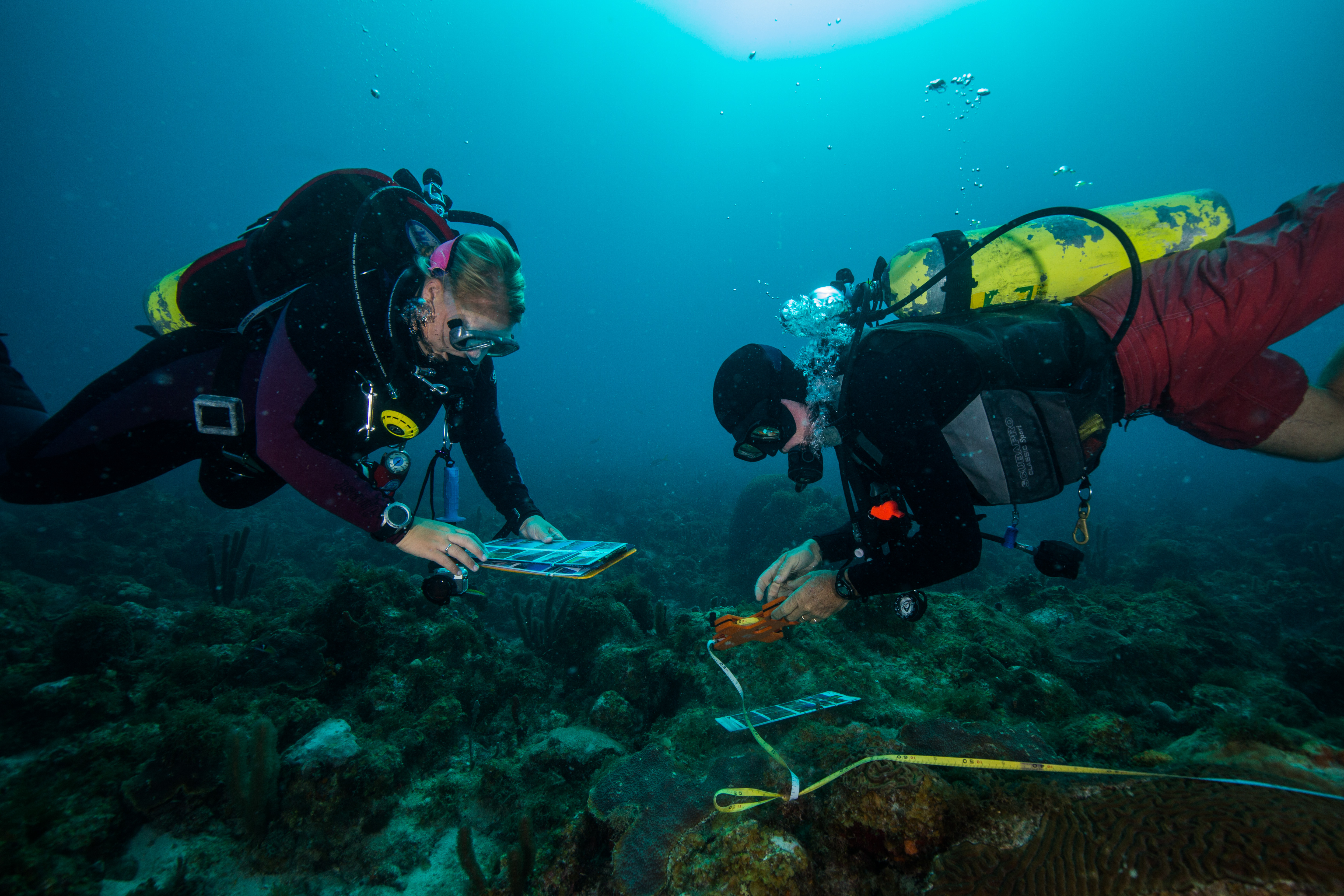
Accuracy is crucial for tasks like this – the slightest deviation from the correct location could throw off the whole model. Here, Morgan Wagner and Jeff Miller double check their maps

And with that, all of the work we had planned was done – but our trip wasn’t yet. With a little more free time, I made sure to go check out the Fort Jefferson itself. I had been so occupied with all of the incredible in-water photographic opportunities that I had been neglecting the land-based ones. I spent the good part of an afternoon exploring the fort (and boy does it get hot inside a giant brick building in the afternoon sun) and taking all the photos I could.
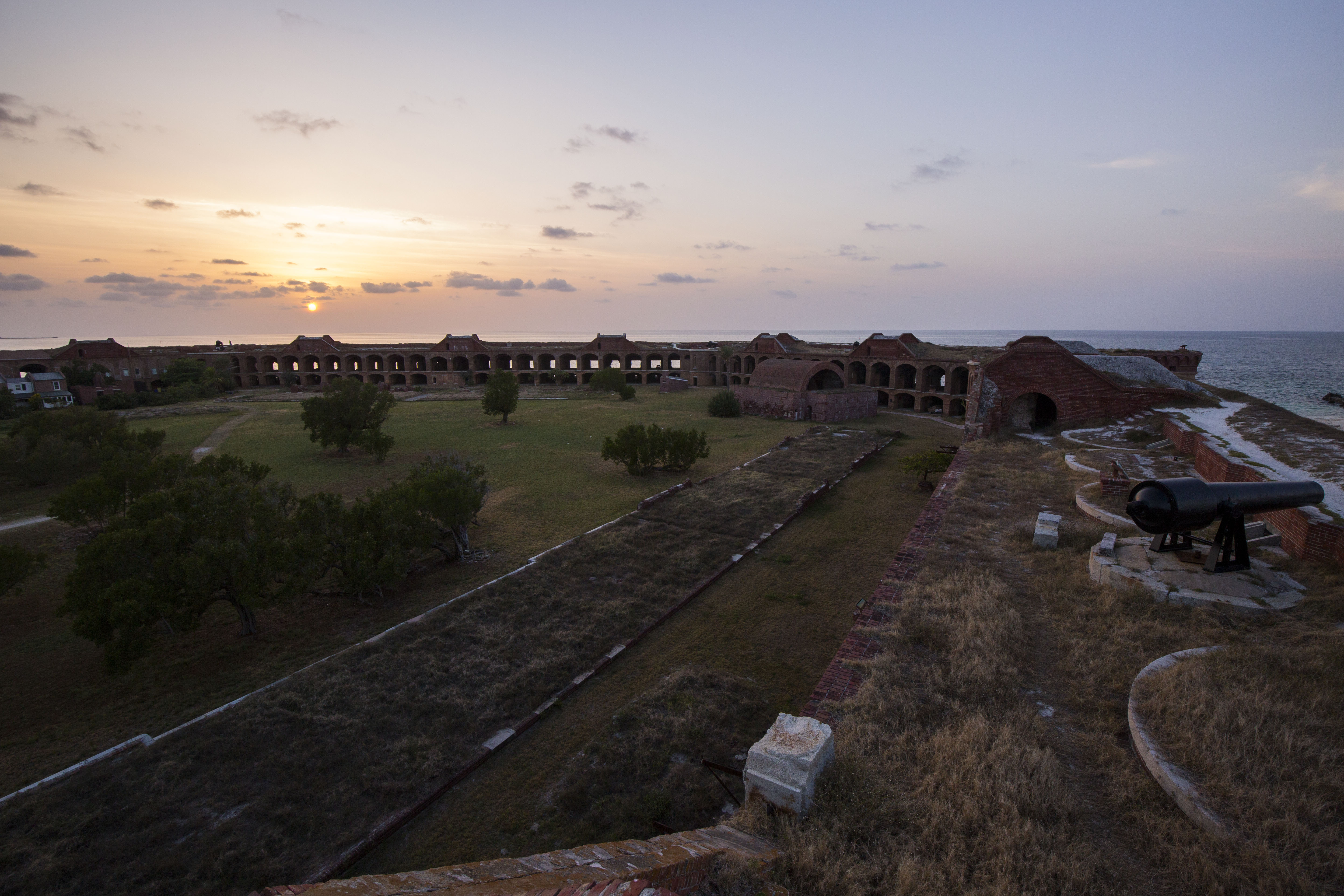
 

Our final day in DRTO was occupied with diving. The plan was to do two recon dives to Sherwood Forest, the spot where the unique reefs of Dry Tortugas were first described. Estimated to be over 9000 years old and one of the best nursery habitats in the United States due to the highly complex structure, this particular reef is an incredibly valuable resource and could certainly use quick visual survey. Our dives on the site were paired with some current, which gave us a look at a good amount of the reef – I’ve never seen such a huge aggregate reef before. It seemed to stretch forever, and was even more incredible when considering the layers upon layers of old growth that are hidden under the uppermost visible part of the reef. Like the rest of the reefs in the Tortugas, this one no longer lives up to its former glory, but according to the experts on board our SFCN team it’s faring better than many others and still a sight to behold.

After returning from those dives, a subset of the team (Rob, Lee, and the interns) went back out on the water for a couple more fun dives. The first of those was a site called the Maze, a wildly fun reef full of complex structures like small canyons, swim throughs and small cave-like pockets under coral heads. I dove with Lee and had an incredibly memorable dive exploring these secluded little structures. Afterwards we ended the day with a classic DRTO wreck dive at the Windjammer, the wreck of an iron-hulled sailing vessel that sunk in the park in 1907. Structurally intact, fishy, and covered in healthy coral, this made for a great dive and a lovely way to end out our trip.

Dry Tortugas National Park is a special place, and not one I’ll forget anytime soon. It has got so much going for it: a gigantic brick fort, island breeding grounds for hundreds of seabirds and turtles, beautiful seas and skies, killer snorkeling and diving, and a pretty phenomenal and biologically important reef system. All of these unique aspects packed into one Park and tucked away in the middle of the Gulf of Mexico make for a spot unlike any other, one of the coolest National Parks (and places) I’ve ever had the good fortune to visit. I’d like to extend a heavy gratitude to the SFCN team (Mike Feeley, Jeff Miller, Lee Richter, Rob Waara and their interns Steph Topal and Morgan Wagner) for having me along, making me feel welcome and allowing me to observe and partake in their work, as well as a big thanks to the crew of the M/V Fort Jefferson (Captain Tim, Mikey Kent and Brian Lariviere ) for taking great care of us during our time with them. I hope to be lucky enough to return some day, but for now I’m on to my next park of the internship: Biscayne National Park in South Florida.
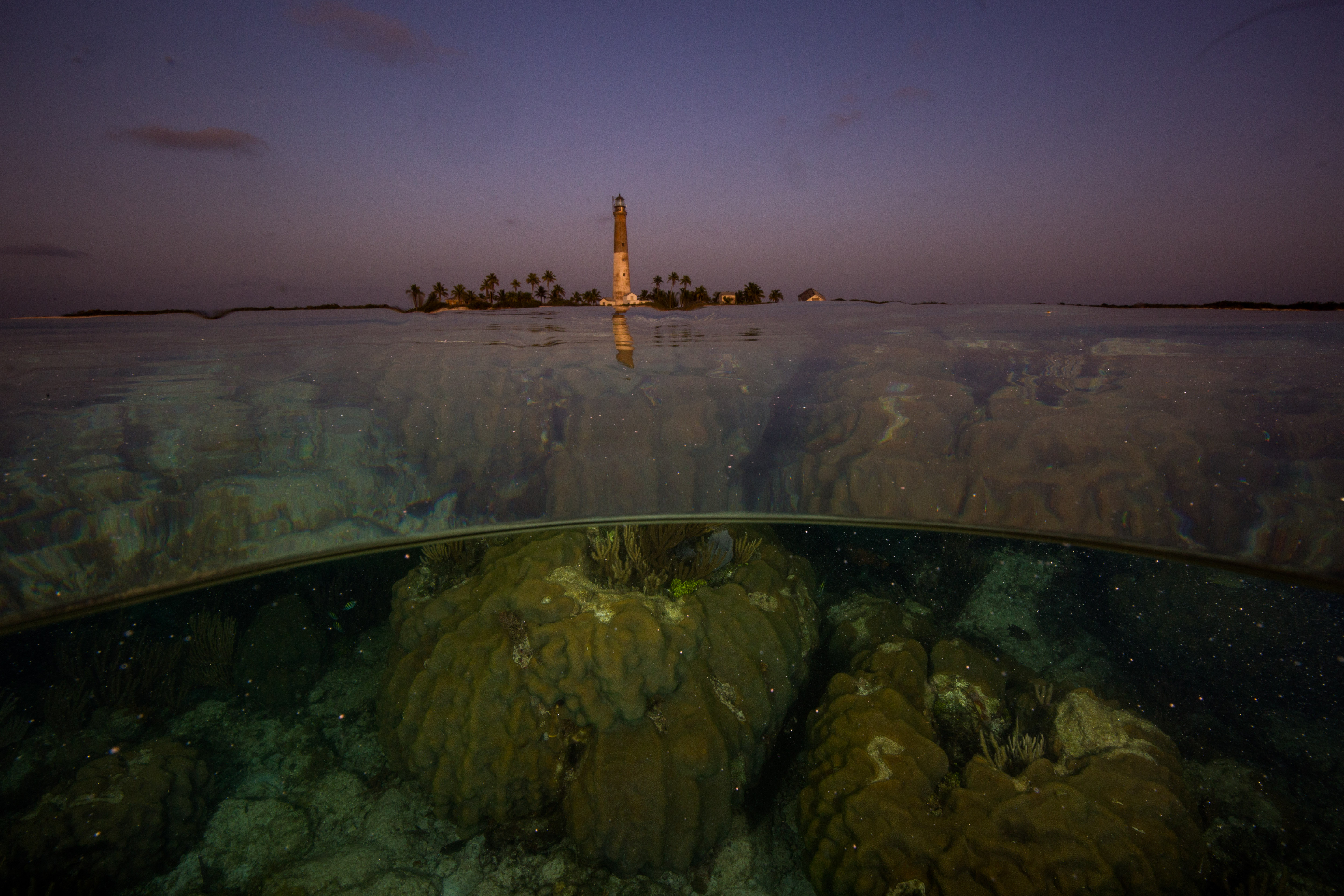
Goodbye Dry Tortugas, you will be missed
Share

Thank you, DAN!

My last few weeks here at DAN have been busy wrapping up projects, cramming in as much diving as possible, and saying tough goodbyes.

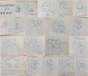
One of my final projects here was reviewing existing videos and identifying needed changes based on the revised course content from our earlier edits for global use. The next step was to create storyboards for filming updated videos for the Diving First Aid for Professional Divers (DFA Pro) course. Storyboarding is the art of creating an outline for a video or film using illustrations of main scenes and shots for the video.

I learned how to storyboard by researching how Walt Disney developed storyboarding for his films. Disney was the first to use the storyboarding practice, and it is still used today to plan films. Apparently, Disney said something along the lines of not needing to be a great artist to be a great storyboarder, only needing to be able to get a point across. While I enjoy art, I believe I have really embodied that saying in my storyboard work. They aren’t beautiful sketches, but it depicts how we want the films to look and highlights the important changes. This is beneficial in making the filming process more efficient and easier so the videographers and actors know how the scenes should play out. I won’t be around for the video shoot, but I look forward to seeing the changes posted in version 3.0 of DFA Pro in elearning.

My storyboard for relieving a foreign body airway obstruction (severe choking) on an adult.

This image shows the storyboard for the adult foreign body airway obstruction video. Based on the combination of first aid guidelines from various national first aid organizations, we needed to incorporate changes into the videos as well. The new version of DFA Pro will teach three techniques for relieving a foreign body airway obstruction, which includes abdominal thrusts, chest thrusts, and back blows. This can be seen in the storyboard in the last 4 panels.

This week, the other interns and I gave presentations on our work this summer for the DAN Public Lecture Series. I also presented to the DAN staff on my final day, and they even threw me an ice cream party! Well, I am sure they would have had the ice cream party anyway, but excuses always help.

As my time here at DAN comes to an end, I would like to reflect on the things I have learned this summer.

I am grateful for the opportunity to have worked so closely with the DFA Pro course, because with my participation in the course revision process, I feel confident in my first aid skills and hope to expand upon them in the future. I had the opportunity to learn valuable skills on course development through working with Patty and Jim, and I learned how to effectively educate a diverse audience. I know that these skills will take me far as I hope to work with people all over the world in the future.

Simply being around so many accomplished and knowledgeable divers, I learned a lot about diving physics and technical diving while here. Although I only just began my divemaster, learning about the diverse potentials for my diving future is exciting.

As shared throughout my past blog posts, I have added many more tools to my kit of dive knowledge and safety. I am thankful for the opportunity to have participated in the research intern workshops with Dr. Frauke Tillmans and Dr. Allan Uribe, both of whom have been great mentors and friends in addition to my primary mentors, Patty Seery and Jim Gunderson.

Since the training department is currently housed with the medical department, I got to know all the medics and doctors here as well and learned about typical diving-related medical topics and injuries. I also learned what happens when you call the emergency hotline! Everyone here is so nice and knowledgeable, and I feel that I would be in very good hands if I ever need help.

Finally, I learned that DAN is always here for me. Whether I need medical advice, liability insurance, training resources, or friends to talk to ­— I know I can always count on the people here at DAN for their support and knowledge.

I have a new appreciation for all DAN’s resources, including the medical emergency and informational lines, first aid courses, and dive insurance! As long as I am a diver, I will carry DAN dive insurance. (No, they did not pay me to say that!) I look forward to becoming a dive professional and emphasizing safety as part of the training I conduct. For all the instructors out there, did you know that you can register your students for DAN insurance for free during the extent of their training?

I would like to thank everyone here at DAN for sharing their knowledge with me and making this experience valuable and memorable.

I am off to continue my journey back in Washington, where I will lead sea kayaking trips in the San Juan Islands for first-year orientation for my school, Whitman College. I will return to Walla Walla, WA, for my senior year, and write my biology thesis on bone density of deep-sea fishes. Thank you to my new DAN and OWUSS families for providing me with this incredible opportunity to learn and grow.  I look forward to seeing where the future takes me!

The final dives:

Thankful for the friends I made at DAN! Diving the wreck of the Advance with Tess Helfrich.

Diving safely! 🙂

Share

Keen for KEEN

Alaska never ceases to amaze me and the past few weeks on the Kenai Peninsula have been some of the best yet. The weather has been fantastic with sunny days and minimal wind. The salmon berries around the Kasitsna Bay Lab have been thriving and make for some very happy scientists that can grab a sweet treat with just a few steps. I have even had the chance to explore some of the incredible trails surrounding the laboratory and peppering the coastline of Kachemak Bay. The best part of hiking around Kachemak Bay is gaining a different perspective of the estuarine ecosystem. While the vast majority of the research I have helped with is on or in the water, the mountains and glaciers play a vital role in watershed and estuary dynamics, which connect to the big blue ocean.

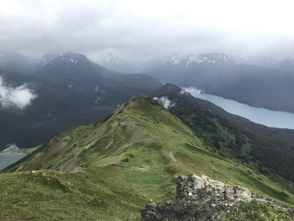
The view of Tutka and Jakalof Bays while hiking Grace Ridge, which runs between them.

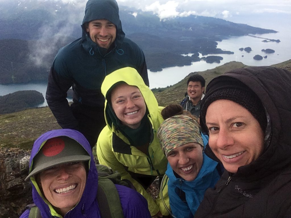
Happy hikers!

After 10 weeks, I am still in awe with the beauty of Alaska and that I get to be a part of research in such a diverse and productive ecosystem. One of the unique factors of research in Alaska is the high latitude. This makes Alaska a prime candidate for data contribution to studies along latitudinal gradients in order to measure how certain ecosystem functions vary, remain consistent, or are changing with latitude. One of these studies is the Kelp Ecosystem Ecology Network (KEEN) project lead by Jarrett Byrnes of University of Massachusetts, Amherst. At the start of my internship, there was talk of including KEEN in our array of projects this summer. I was especially excited because I was being trusted with going over protocol to make dive plans and creating a species list and guide for Alaska. I was anxious for the day that the good news would come of a window in our busy schedule to complete the KEEN sampling. Lucky for me, this day finally came on July 29th.

Studying kelp forests along a latitudinal gradient is an important component of assessing the health of kelp forest ecosystems in response to climate change. Kelp play a vital role in forming habitat for invertebrates and shelter for juvenile and adult fish. In order to assess the health of our kelp forests in Kachemak Bay, we conducted our first year of dive surveys to add to the KEEN global dataset. While Brenda Konar and her group consistently monitor kelp forests in Kachemak Bay, KEEN offers a unique approach for holistic sampling of each site and comparison to global kelp forests with an emphasis on public data access and sharing.

The KEEN protocol consists of four transects at each site. On each transect, we performed a fish swath, a target species swath, point counts, and quadrat surveys in order to document the kelp forest community structure and health at different levels of detail. For example, target species swaths are useful for documenting the number of Nereocystis (Bull Kelp) individuals exist along a transect, while quadrats are useful for counting the number of invertebrates in a square meter area. The fish swath diver records the number of each fish species that pass by while swimming the length of the transect, and the point count diver records the species directly under each side of a meter stick laid perpendicular to the transect tape at every meter.

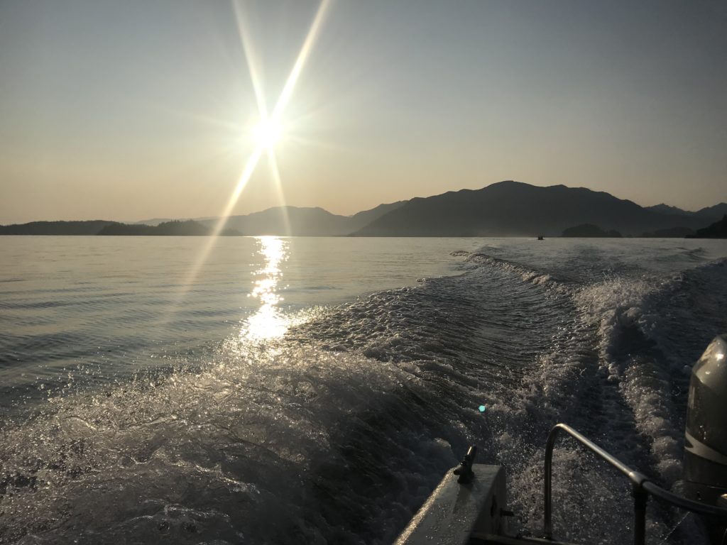
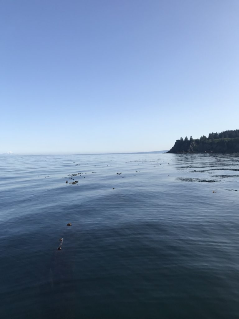
En route to the KEEN site!

Brenda Konar, Katie McCabe, Tibor Dorsaz, and I surveyed Outside Beach, a kelp forest site located just outside of Seldovia Bay, home of the Village of Seldovia. Nereocystis can be seen as a bed on the surface, with fronds buoyed by a round gas-filled bulb. Beneath the surface, Saccharina (Sugar Kelp), mats the bed rock and makes a home for mobile and sessile invertebrates of vast colors and geometries.

Nereocystis studding the surface at Outside Beach KEEN site.

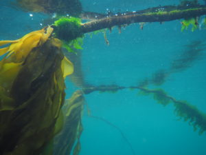
Nereocystis fronds are supported by a gas-filled bulb that floats at the surface. Photo by Brenda Konar.

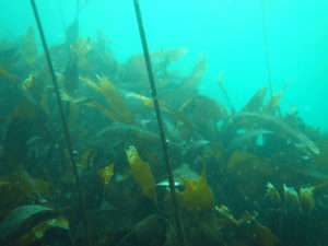
Saccharina densely covers the bed rock, peppered with Nereocystis stipes. Photo by Brenda Konar.


Each transect takes one dive to complete and each of the four divers took on one component of the protocol. Since there are four transect, I had the chance to help with all four survey types. This was an interesting opportunity to view the same site from a different lens on each dive. Fish swaths are a brief pass of the transect looking above the ground cover for fish swimming by, while a quadrat will have you engulfed in kelp and entering a whole different world of chitons, gastropods, bivalves, echinoderms, and more

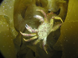
A crab finding shelter (and probably food) within kelp blades. Photo by Brenda Konar.

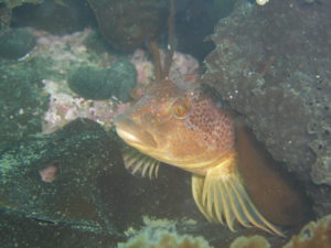
A greenling hiding between rocks and Agarum (Sieve Kelp). Photo by Brenda Konar.


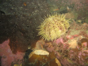
Green Sea Urchin. Photo by Brenda Konar.

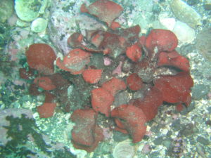
Small algal species, like this Opuntiella, are revealed after moving kelp fronds aside during detailed quadrat surveying. Photo by Brenda Konar.


It was equally as exciting as rewarding to dive in this beautiful kelp forest to contribute to the KEEN project. After soaking up the sun between four dives, a lot of underwater paper, and some peanut butter and jelly sandwiches, we successfully completed all four transects at Outside Beach. My next steps moving forward with KEEN are entering the data into the KEEN database. My first week in Alaska, I created a species list and field guide, including the species codes that the data are entered using. This way, anyone interested in viewing or using the data we collected will have an understanding of what codes refer to and what each species looks like through photos and species descriptions. It is a great feeling to be a part of a large, collaborative project. The addition of data from Alaska to this project was very desirable to establish a latitudinal gradient, and I am humbled to have been a part of contributing the first data set. Shortly, our data will be accessible through the KEEN website for viewing and use (www.kelpecosystems.org and Kelp Ecosystem Ecology Network Github). I’m very excited to have been a part of monitoring kelp forest health in order to preserve these incredibly important and beautiful ecosystems that are vulnerable to impacts of climate change. It is a global effort to monitor and manage these effects and projects like KEEN are harnessing the abilities of collaborators and citizen scientists worldwide.

Share

What is a Rhodolith?

By the end of this blog entry, trust me, you will know. From July 15th  to the 25th I had the pleasure of assisting on several different research projects around Catalina Island, California. After packing personal gear, dive gear, an inflatable boat, motor, and research gear from Moss Landing Marine Operations we set off for San Pedro. From San Pedro to Catalina (about a 5-hour drive), we discussed research projects and I grew more and more excited for diving around the island.

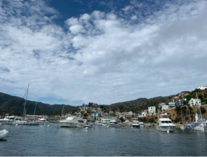
Avalon, Catalina Island

A clear day for diving at Avalon!

Diana Steller and Matthew Edwards are co-principal investigators on the main research project titled “Minimizing disturbance impacts by California vessel mooring systems on living rhodolith benthos in Catalina MPAs: an experimental assessment”. The project objectives are: “to identify and experimentally evaluate potential vessel mooring systems that may reduce impacts to rhodolith beds and other sensitive Catalina Island benthic habitats; to identify a suite of efficient field metrics to rigorously monitor integrity and recovery of rhodolith habitats; and to assess productivity and ecosystem functioning of rhodolith beds in order to evaluate restoration potential for recovery of impacted habitat.” (Steller & Edwards, SeaGrant). This involves many hours of scientific diving, lab work, and a few boxes of Oreos for energy.

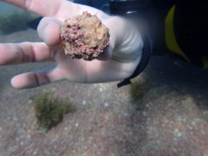
A round rhodolith!

Scottie loves his greens!

Right on the day we arrived at Two Harbors (Big Fishermen’s Cove), I dove with the Survey Team at Emerald Bay. The Survey Team consisted of Diana Steller (Research Faculty/DSO of MLML and my internship host), Scott Gabara (Ph.D. candidate at San Diego State University and former MLML student), June Shrestha (MLML graduate student), and myself. Throughout the trip, we went to 6 different study sites and conducted benthic surveys inside and outside rhodolith beds.

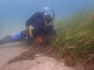
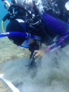
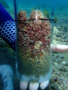
Each of us had a different task and would attempt to complete them on dives that were a little over an hour long each. June conducted fish surveys and Scott would lay out the transect, identify the benthic substrate, count and identify the associated organisms on top of the rhodoliths within a 20 m transect. Diana and I would work with Scott on the same transect and use a 25 cm x 25 cm quadrat for substrate percent cover and we dug for organisms like snails, sea stars, urchins, and other small creatures. We also obtained sediment cores to collect live and dead rhodoliths to do size frequencies (where we took abundance in each size class and measured the volume).

Getting a rhodolith core isn’t as easy (or clean) as you think…

Scottie surveying the rhodolith bed using a quadrat.


Me holding a lovely rhodolith core.

A clean and clear core.


Another section of the Rhodolith project involved deploying underwater chambers. There were 10 chambers in total, some located within rhodolith beds and some on top of crushed rhodolith/sand habitat. Inside the chambers were sensors that took measurements of water quality. During chamber surveys, benthic details and cores are taken as well. An additional part of the chamber experiment involved crushing of the rhodoliths with chains to mimic the crushing action of mooring chains. A Tupperware, rigid cylinder, and a spoon were used to collect live rhodoliths in order to bring them back to the lab to find size-frequency for each within and outside rhodolith bed samples.

Some brittle stars wanted to say hello! (Look close and you can see their arms)

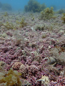
Now on to the important part: what is a rhodolith? How does it form a bed? Most people don’t know what rhodoliths are. One day, a local boater on Catalina asked us what we were diving for and we responded “we’re observing rhodolith beds” and he replied that there isn’t much to see there within the bays. But truthfully, a rhodolith bed is a whole new world. If you look up a rhodolith on Wikipedia, you’ll read that rhodoliths are “ colorful, unattached, branching, crustose, benthic marine red algae that resemble coral. Rhodolith beds create biogenic habitat for diverse benthic communities.” This is definitely true plus they deposit calcium carbonate within their cell walls so they form small hard structure just like hard corals do. However, rhodoliths are unlike coral since they don’t attach themselves to any rocky substrate or seabed. That’s why they’re often called tumbleweeds because they roll around the sand and have thin branches. Rhodoliths are autotrophic and produce energy through photosynthesis so they only survive in the photic zone where it’s shallow and light can reach the little rhodoliths.

It wouldn’t be an interesting field season with just one project going on. An interesting project that was unrelated to rhodoliths was Taylor Eddy’s project on spatial variation in spiny lobster foraging preferences. Taylor is studying how spiny lobsters interact with the intertidal habitat and the seasonal variability of these interactions. Specifically, she is looking at how different food resources available in this habitat affects their reproduction and demography (size, sex, and abundance). To do this, she collects lobsters at high tide in the intertidal and subtotal, records the size, sex, and reproductive status of each lobster, and then removes a leg (don’t worry, they grow back!) to get a muscle sample for a diet study. Taylor is a CSUMB and MLML student working on her Master’s thesis and has conducted research on Catalina numerous times. We had to collect lobsters on three transects at night from two sites (Big Fishermen’s Cove and Birdrock). The first collection night, my role was the “runner”. I shined a red light on one end of the transect while two divers (Riley Young of CSUMB and Dillon Dolinar of SDSU) collected as many lobsters as they could with their hands. We could use only red lights because lobsters don’t see the color red which was a new fact to me. Once they collected lobsters, I brought them to the boat where Taylor got her measurements.

Snails love rhodoliths!

A Garibaldi wanted to say hello during our research dive! First time I saw one.


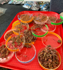
There were two main tasks that had to be done in the lab: size frequency and core live/dead processing. To do a size-frequency, we 1) separate live rhodoliths into three different size classes 2) count the number of rhodoliths in each size class 3) measure the volume of each size class along with the dry mass of the rhodoliths once they’re entirely dry. We did the same thing with the sediment cores without separating them by size, just by live and dead ones.

Dillon Dolinar (SDSU) happily removing water from a collected core.


Samples in their Petri dishes

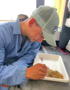
Darrin Ambat (SDSU) sorting live and dead rhodoliths collected from a core.

Upclose with size-frequency rhodoliths

Dillon and Ehrick placing snails that were tagged at Isthmus Cove.

Charnelle happily sorting live and dead rhodolith from a core.

Freshly tagged snails.

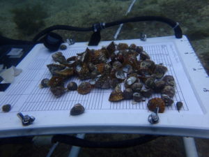
Charnelle Wickliff, a student of California State University Monterey Bay and Moss Landing, has a project with the goal of measuring snail growth and movement between rhodolith beds, rocky reef, and kelp forest. This involved collecting Megastraea sp. from the rhodolith beds, measuring the width, and tagging them with a number using super glue (without gluing your fingers together). The snails were returned to the beds with markers. Charnelle will return to those markers and resample the area to find the snails and reevaluate their growth and movement between habitats.

Fun finds on a dive at Avalon! Plus a snail wanted a picture of itself!

Me measuring the width of one of our lovely snails.

Cat Harbor during an evening hike.

I will definitely miss the fun times, diving, and sunsets at Catalina! Stay tuned for my next blog post on the next chapter of my internship: AAUS Scientific Diving Course!


Share

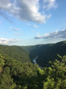
“Almost Heaven”—not John Denver’s idea of West Virginia

What does John Denver have to do with scuba diving? Nothing, really. Yet somehow, I ended up singing four hours of “Take Me Home, Country Roads” in the car as I made the trip from Durham, North Carolina, to Beckley, West Virginia, last week.

This was in part because I was curious about the Blue Ridge Mountains John sings about, but mostly because I was on my way to the 24th World Scout Jamboree. I wonder if John still would have considered it “Almost Heaven, West Virginia” if he made it to Summit Bechtel Reserve where the 44,000 scouts gathered for two weeks.

This is an international event that draws scouts from all over the world, and this year, more than 165 countries were represented. The main goal of the experience is to bring young people together to promote peace and the development of life skills and leadership.

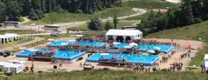
The reserve covers over 10,000 acres of wilderness and has some of the largest outdoor-activity facilities in the country, including zip lines, climbing walls, and lakes. Additionally, there were multiple large, four-foot-deep inflatable pools in the center of all the booths at the Jamboree. The pools were outfitted with tons of BCDs, regulators, masks, scuba cylinders and an onsite compressor so the scouts could try scuba diving for the first time with a divemaster. I even had the chance to take a dive! (Can I log that?)

Large inflatable pools for scuba diving. Picture by Rhett Hendrickson. The DAN booth is located to the right in white tents. Campsite can be seen below the scuba center in the upper right corner.

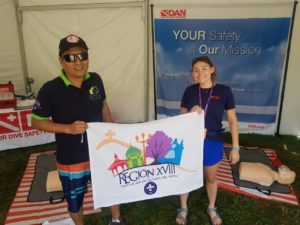
Since the scuba diving experience is one of the largest events at the scout Jamboree, DAN sends staff members there every year to promote dive safety and coach scouts in CPR. The Jamboree is two weeks long; I attended the first week of the event accompanied by Jim Gunderson, Reilly Fogarty, and 4 CPR manikins to run our “CPR challenge” activity. Reilly, DAN research intern Andrea, and her husband, James ran the second week.

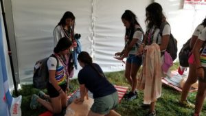
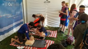
The goal of attending the Jamboree each year is to empower scouts to seek training and gain skills that can save lives in or out of the water. While we were not providing anyone with a full CPR class or official trianing, we did demonstrate 30 chest compressions and 2 rescue breaths. After the demos, we let the scouts have a try on the manikins for two minutes while we coached their technique.

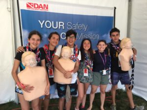
Demonstrating 30 chest compressions with two rescue breaths to a group from Chile.

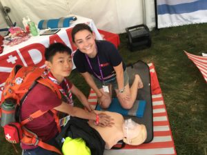
Coaching students as they practiced two minutes of CPR with a group from the United States.


It was interesting to see how many people were new to CPR versus those who already had training. I learned that many European countries teach CPR in school! We observed a wide range of skill levels, but everyone was enthusiastic about learning and improving.

Most scouts that attended our booth on the first day were English speakers, but we did meet one group from Argentina. I asked where they were from and if they were familiar with CPR. A girl in the front admitted that they did not know English and started to walk out of the tent. On the fly, I dug way back into my brain to recover something from the four years of Spanish classes I took in high school (with a wonderful teacher I might add), but it had been three years since I last spoke it. I did not want the scouts to walk out of our tent because they did not understand English, so I told them, “Uno momento! Yo hablo Español, pero no es muy bueno.” They laughed and agreed to come into the tent for a lesson.

It took a minute for my brain to switch into Spanish mode, but once it did, I was able to demonstrate CPR in Spanish to the group. Speaking Spanish may not be a skill I would put on a resume, but I was very surprised at my ability to successfully communicate with the group. That night, I went back to my hotel and studied up a few key words I didn’t know, like “compressions” (apparently, it’s just “compresiones”!), so I could be better prepared to speak with future groups.

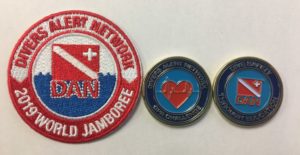
DAN patches and coins awarded to scouts who came through our tent and successfully completed 2 minutes of quality CPR.

Over the next few days at the Jamboree, I believe I spoke in more Spanish than I did English! Scouts were very patient with my efforts and they enjoyed teaching me new words. It was a humbling experience to ask scouts, “¿Inglés o Español?” and see the relief and excitement on their face knowing someone could cater to their own language. This allowed us to open our tent to a much broader audience, as I was able to coach scouts from Colombia, Peru, Chile, Spain, Argentina, and Mexico.

A new friend from Peru! I was very grateful for his patience with my Spanish speaking, and he really appreciated the introduction to CPR and one-on-one time I gave to coach him. We exchanged gifts, I gave him a DAN patch and coin and he gave me a bracelet from Peru!

A fun group from Chile! They were excited to be taught in Spanish.

My new friend from Taiwan.


I had the pleasure of meeting many other people from all over the world at this event, including a young boy from Taiwan. He was so eager to learn and worked really hard to have a conversation in English while we waited for the rest of his troop to arrive. He had never seen a CPR manikin before, but after a bit of coaching, he was able to perform wonderful compressions. We also exchanged gifts, I gave him a DAN patch and coin and he gave me a scout logo that he had 3D printed!

Over the week that I was there, we had more than 1,200 scouts come through our booth. I am very thankful for this opportunity to share life-saving first aid with these intelligent youths. I hope that they continue their first aid education and seek official training, but for those who may not have this option in their home countries, the challenge gave them a great introduction to the process. While I hope no one has to experience a situation that warrants CPR, it is comforting to know these kids have a new tool in the box to help others.

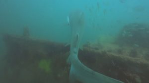
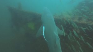
As if the diving in the four-foot pool was not exciting enough, I also decided to attend a boat dive this weekend when I returned to North Carolina. This photo was taken on the wreck of The Hyde off the coast of Wrightsville Beach in Wilmington, NC—it was great to see a few adult sand tiger sharks! Thanks to Aquatic Safaris for the trip.


Share

Under the Sea – REEF [3]

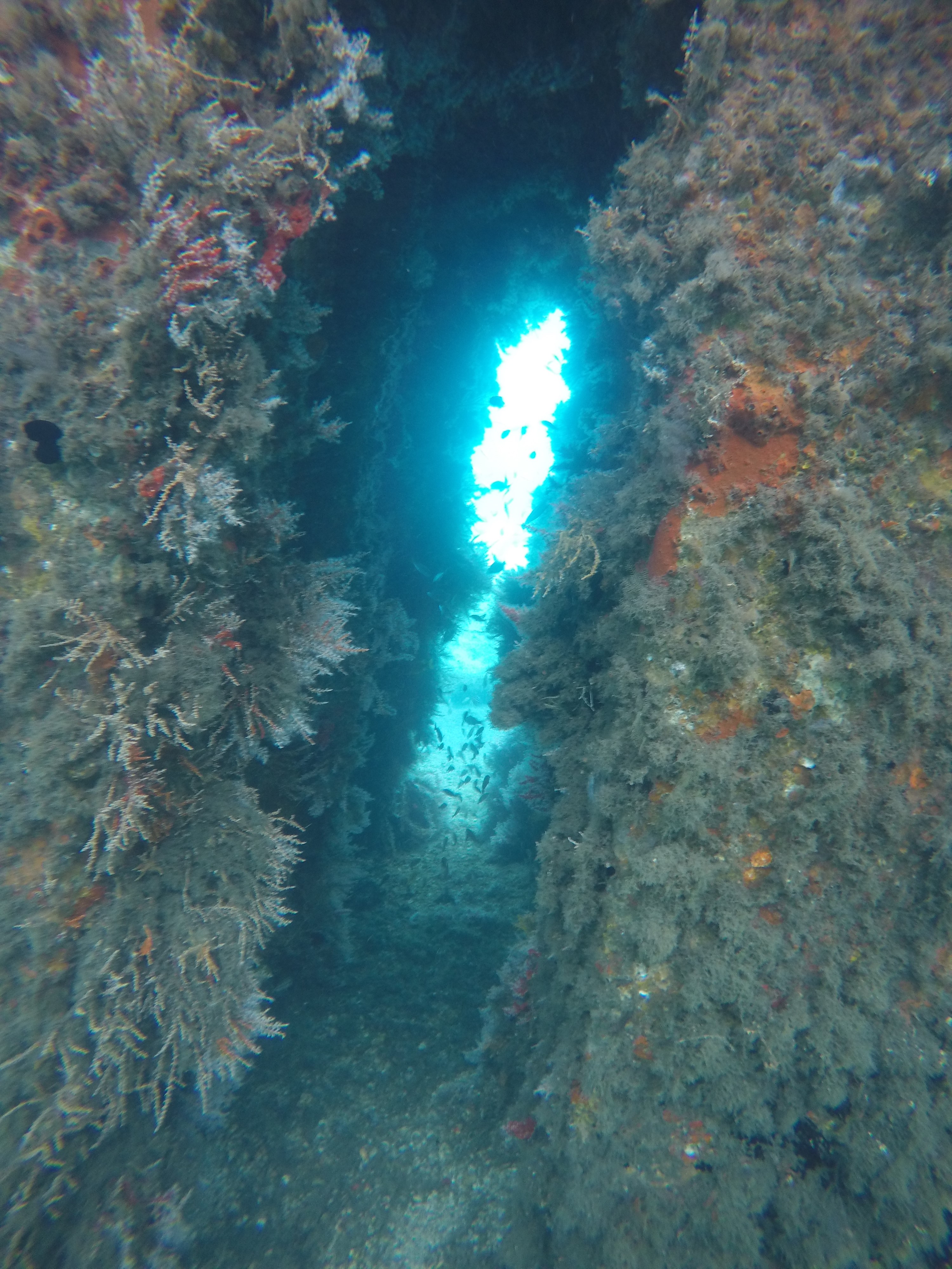
A hulking mass loomed in the deep blue water, far away but not enough to escape the limited visibility. I only noticed it because the instructor, Jason, had motioned excitedly to our group, pointing off in the distance a couple moments before. It generally takes a lot for the instructors at Key Dives to get that excited underwater, so I figured it had to be something great. Sure enough, I soon realized that I was looking at none other than a pair of Goliath Groupers. One would be forgiven for mistaking these colossal fish for submarines cruising through the deep tropical waters. Words cannot describe how small I felt for a moment, witnessing these groupers go about their day around me, inching closer as we hovered transfixed. I had long known about this species but never really understood how awesome it would be to see them in person. While they are not the longest fish I have seen, their sheer weight and size is what makes them mind-boggling. I did not snap any photos because I was taking on a supervisory role that dive (to say nothing of how I forgot my GoPro on the boat), but I will savor the memory forever. All the more exciting was that this sighting occurred while diving the wreck of the Eagle. A Dutch ship built in 1962 that went on to change hands between owners in Israel and the Cayman Islands, it was struck by an electrical fire in 1985 and purchased by Monroe County in the Keys (read more here). Like several wrecks in the Keys, the Eagle was intentionally sunk to transform it into an artificial reef. These reef-wrecks are a huge draw for tourism, and part of the reason I am able to find such fantastic diving in the Florida Keys. We saw these particular goliath groupers after falling, scuba-style, through a huge hole in the side of the Eagle. Since the Eagle rests on its side, this meant positioning carefully over the hole, exhaling, and letting gravity do the work as we descended straight through the wreck, bottoming out near 100 feet deep over the sand.

View from the bow of the Giant Stride, Key Dives’ vessel

I found myself on that unbelievable dive of the Eagle while completing my deep dive scenario for divemaster training. I have not touched all that much on the pure diving aspect of my summer so far in these blogs, and here I wanted to highlight that. For the record, I do not have any photos from my divemaster training since often I am supervising other divers and need to keep my focus on them. For that reason, I have peppered photos from various other dives this past month throughout the post to give an idea of what I have seen in the water! Anyway, for the first several weeks at REEF, all of my diving consisted of fish surveys, from boats run by several different dive shops throughout Key Largo. I wanted to start off slow, because prior to arrival, my only dives since Bonaire (Fall 2017) had been a couple quarry dives in Kentucky last year. While I arrived as a certified Rescue diver and was a very confident diver leaving Bonaire, it had been a long time and I knew I was taking on a big commitment by aiming to complete my divemaster as a REEF intern. I wanted to respect my upcoming training as the considerable challenge I knew it would be, and so I first spent some time in the water getting my “sea legs” back. Being able to brush up on my tropical fish identification while doing so was all the better. By the time I finally arrived at Key Dives (a dive shop in Islamorada, south of Key Largo) in late June to start my training, I felt ready. I knew that this summer I would need to become a much improved diver and educator within a very short amount of time, and I wanted to hit the ground running.

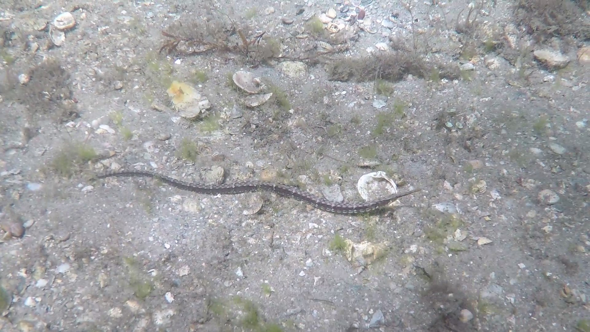
Shortfin pipefish (Cosmocampus elucens), shot while doing a REEF fish survey on Blue Heron Bridge (BHB), West Palm Beach

The four weeks since starting that adventure have made this the summer of a lifetime. My training started out simple with a lot of pool work, mostly knocking out water skills as well as my scuba skills circuit. I have been doing my training alongside another man named Kent, who has been nothing but helpful and supportive as we progressed along. My first experience with the skill circuit was in a nice heated pool at Mike’s house, the owner of Key Dives. I realized then how tightknit the staff at the shop was, both by how willing Mike was to open up his house for me and Kent, but also the fact that Cortney, one of the instructors, offered to come over after hours to help us. I won’t lie: I totally failed that first circuit, but I came out of the pool happy as could be. I knew before even starting that I was not going to have all of my skills down because it had been a while since doing some of them, and to pass the circuit you have to successfully demonstrate all 24 skills relevant to teaching new divers. That said, I only failed a handful of skills, so I knew exactly what to work on going forward. Within a week or so, I had finished the circuit to demonstration quality!

Diving with the other interns at BHB

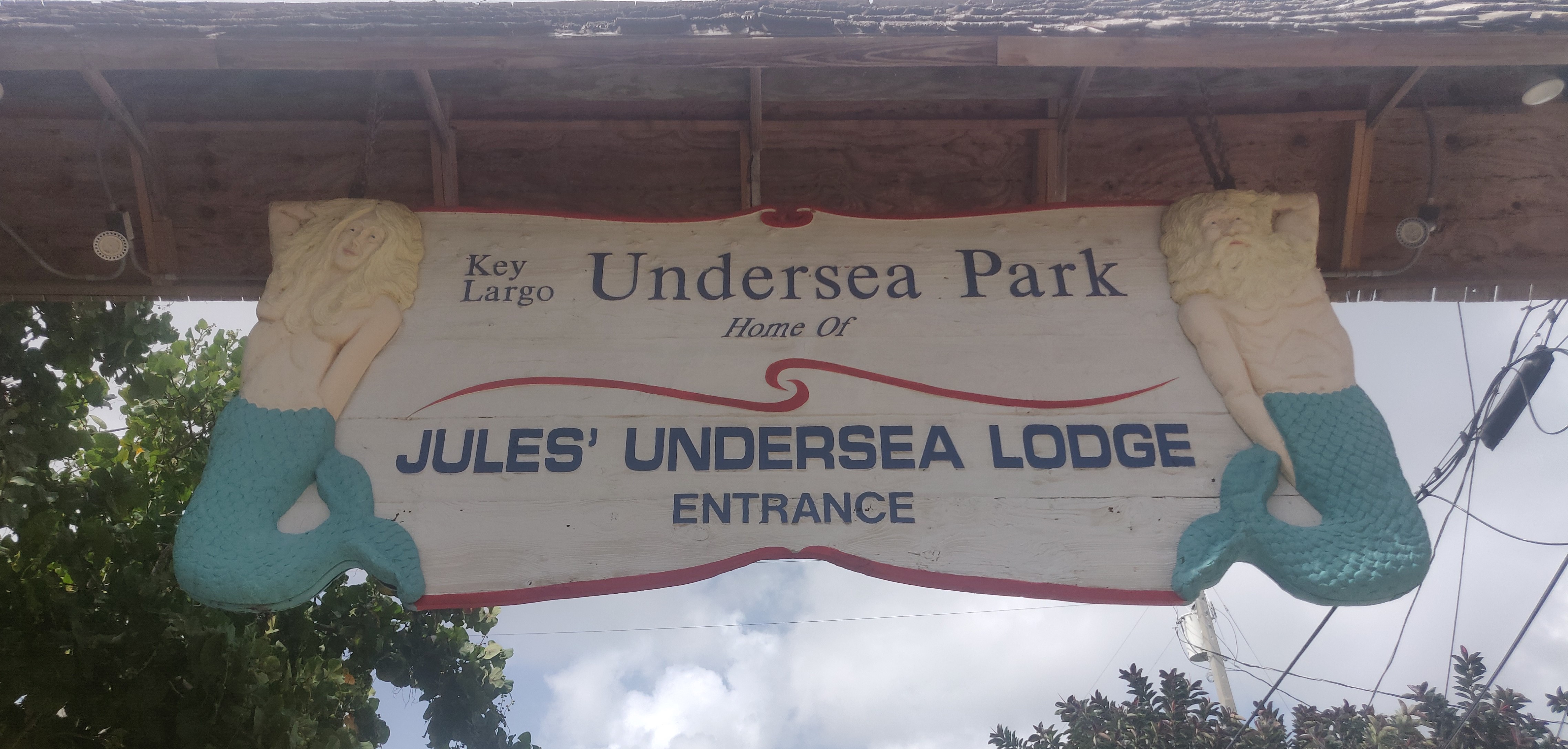
With the circuit complete, I was now entrusted to demonstrate skills to divers training to get their Open Water certification. And so a few weekends ago, I worked with a father and his young son to get the son certified, and I was able to see him nearly all the way through his open water course, from pool work to checkout dives in a local marina. It was incredibly fulfilling to see the light turn on for the student as he grasped the concept of letting go and breathing through a regulator, and seeing what it was like to glide underwater in the way only scuba diving allows. These checkout dives were in a pretty unique spot too – since seas were rough that day, we dove in Jules’ Undersea Lodge. Jules’ is a local attraction nestled in a marina far from any wave action, and is in fact the only underwater hotel in the United States. Tenants stay the night by diving down about 25 feet and are greeted by a transfixing display of schooling fish attracted by the shelter of the mangroves. At the bottom is a fully furnished hotel room, complete with food and drink brought down to you. While we didn’t get to stay the night ourselves, being able to take our time and see the benthic community was a great time, for both the student and myself.

The only undersea hotel in the United States!

The visibility at Jules’ was less than stellar however, which reminded of my own open water checkout dives done in the summer of 2017 in Falling Rock Park, a quarry in Kentucky. There is something special about learning to dive in such an environment because any stray movements can kick up silt that obscures visibility, from hours to entire days. Being forced to treat the benthic environment with care is a huge benefit for those so new to diving, something that, for me at least, carried over into my dives I would end up doing in warmer waters. Diving here in the tropics is generally very easy – the water is clear and warm, and visibility only gets low when there is a rare strong current, or if you are diving deep areas like wrecks. But carrying over that level of care for the substrate below is just as important here – you never know if your next fin kick could stunt years of growth on a head of coral!

Bridge foundation at BHB. The benthic communities found here are similar to the communities found in the Jules’ Undersea Lodge marina (sponges, hydroids, cnidaria, bivalves)

Back to divemaster, though: after successfully assisting with the training of the open water student, it was time to lead a few dives myself. I previously co-led scientific research dives in Bonaire, but that was on a dive site I knew by heart, and with an experienced buddy that I was very familiar with. Last Friday on the boat with Key Dives, I was tasked with leading a group of three that I had never met and had varying levels of dive experience, out on a site that I had never dived before. The dive briefing itself went very well, however I knew the biggest challenge would simply be navigating an unfamiliar site. After getting dropped at a site with a ripping current and no reef in sight, captain Kenny re-positioned the boat nearby. This time went as smoothly as I could have hoped – I looped in and out of a beautiful patch of spur and groove reef, always aware of where the boat was above me. It was a liberating feeling, knowing that I could do this, and it was gratifying to see the group I was leading having a blast and filming video of sharks and turtles around us.

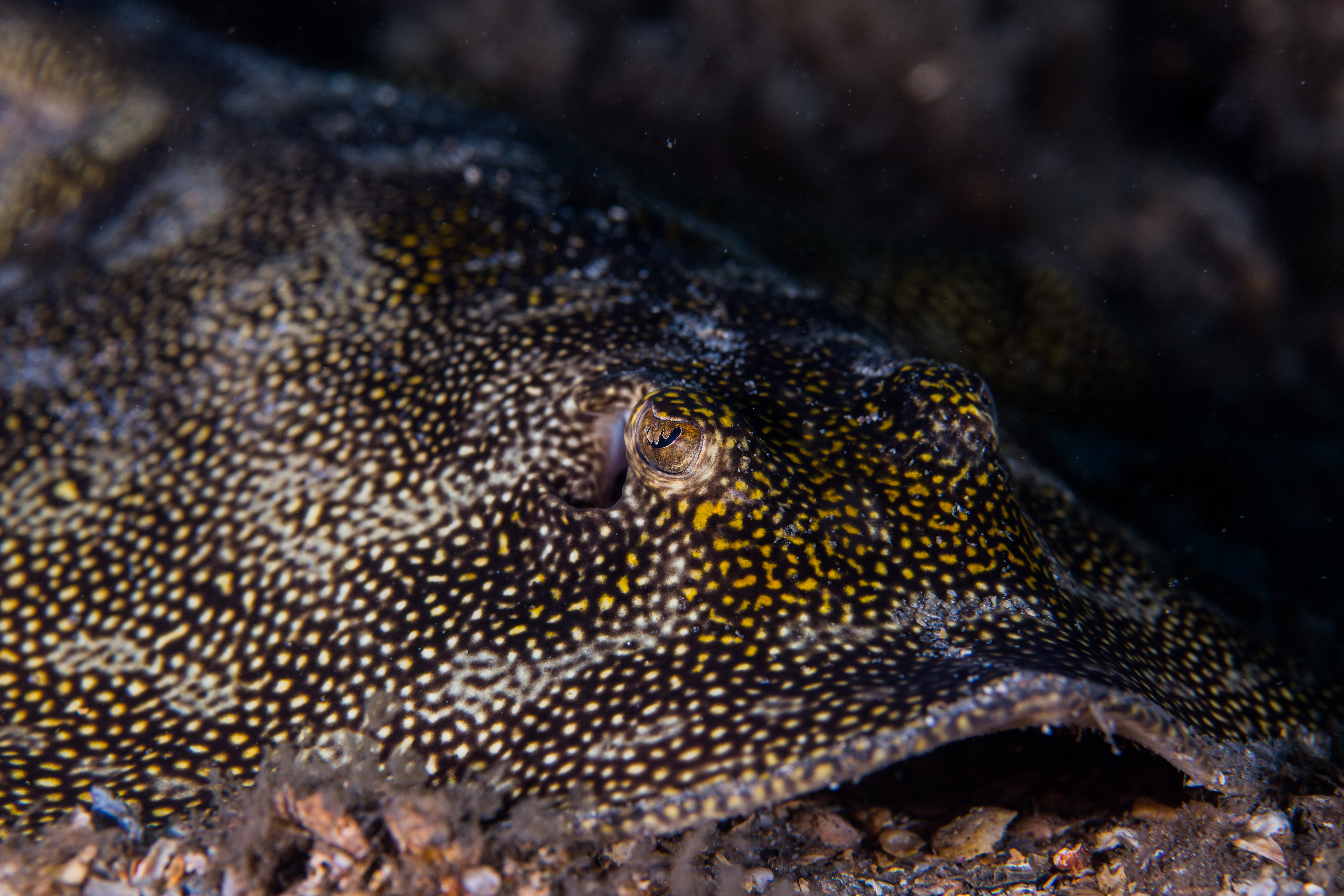
Yellow stingray (Urobatis jamaicensis) eyeing the camera. Photo by Michael Langhans

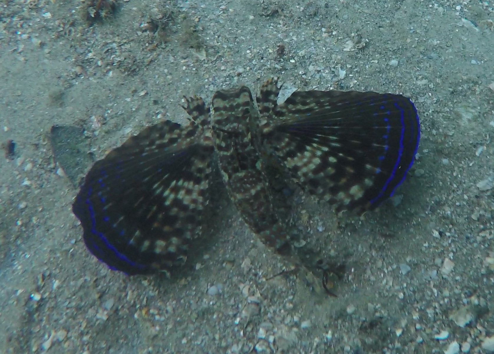
Flying gurnard (Dactylopterus volitans) – I was very excited to see one of these fish at BHB!

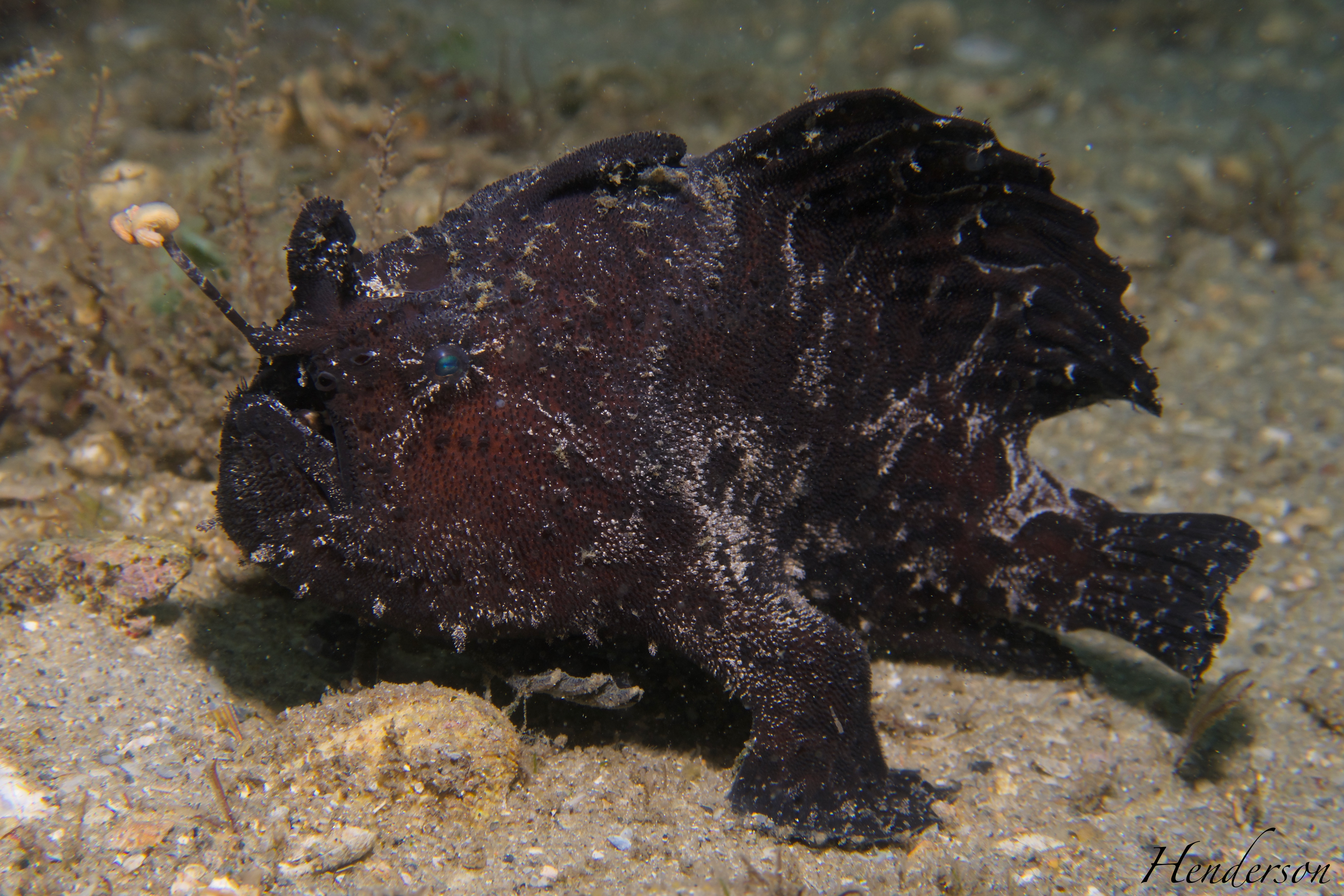
With a large chunk of my divemaster training behind me now, I have been able to take a breather for a bit and hop in the water for some fun dives. I was very happy to carve out time to dive with Michael, the current OWUSS NPS intern, on Blue Heron Bridge (BHB) in West Palm Beach. Thus, we have continued the time-honored tradition of the NPS and REEF interns meeting up over the summer! Michael has been staying near Biscayne National Park for the better part of July, and we were able to make our schedules match. Over the course of two weekends, Michael, myself, and all the other interns/lead interns at REEF dove BHB together. BHB is regarded as some of the best shore diving in the world, and I must say it was my favorite experience diving so far. I gained an intense appreciation for just how impactful macro photography can be, watching Stacey and Michael spend 30 minutes at a time photographing a pair of frogfish. While I am currently only equipped with an older GoPro, I used that time to really search for the smaller things in the substrate, and was completely blown away by the sheer diversity of life found at BHB. One moment I was watching a frogfish waddle along the sand, and another I was catching a fleeting glimpse of an uncommon blenny species as it darted into an old car rim.

Striated frogfish (Antennarius striatus). Masters of camouflage, we happened to catch this one out in the open! Photo by Stacey Henderson

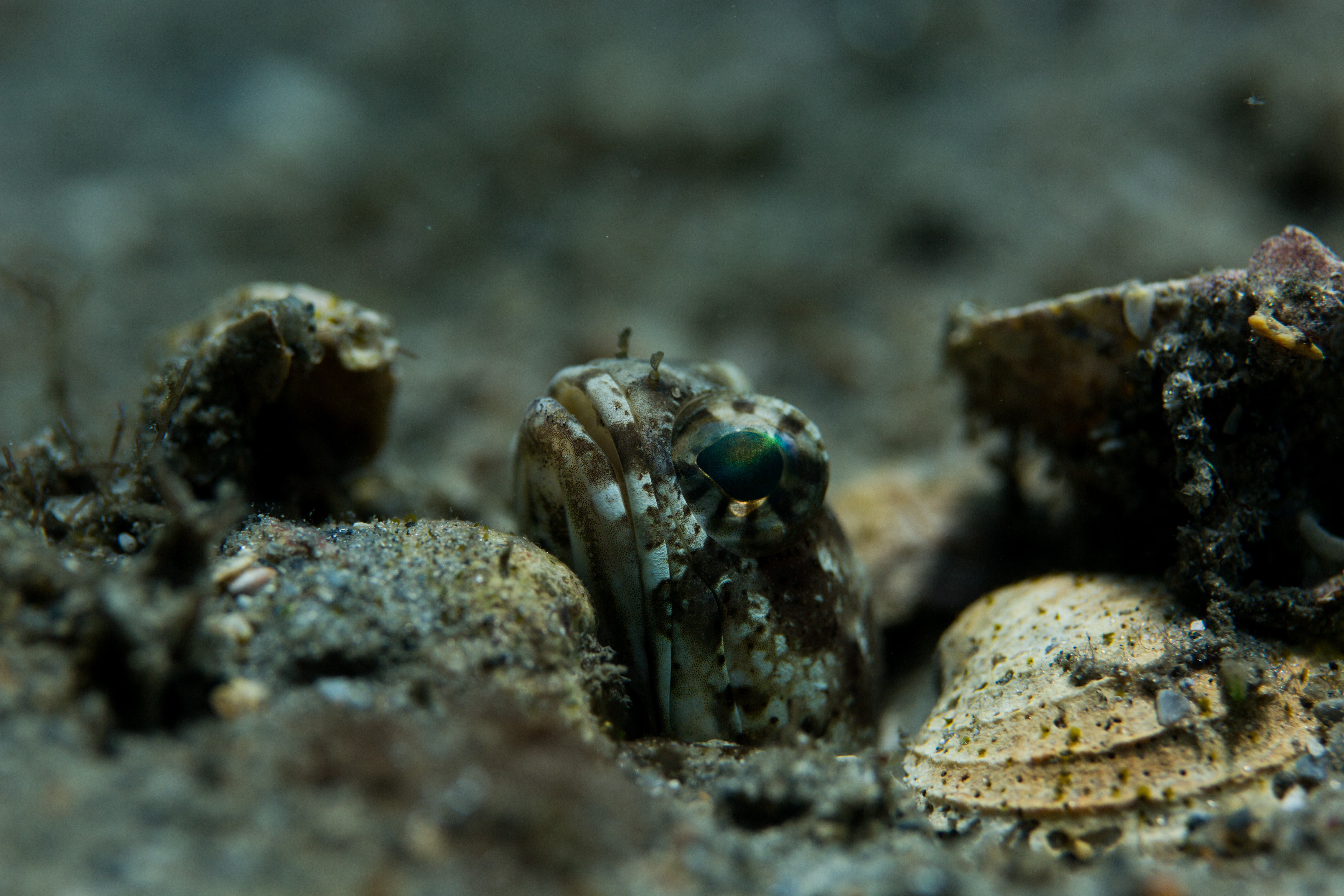
Banded jawfish, Opistognathus macrognathus. Jawfish are often very cautious of divers and will duck into their holes when threatened. Photo by Michael Langhans

Our BHB dives ended up both being almost two hours long, since the site is so shallow and air lasts for a long time at ten feet. Given the time to relax and study one spot for hours, I would say that was the most content I have ever been on a dive. When Michael and Stacey shared their photos with everyone above-water, I felt as if I had missed an entire level of detail present at the site. Crisp underwater macrophotography tells a story unlike any other: the subtle markings on certain fish become apparent, the shape of the eyes suddenly becomes entrancing, the coloration of the skin gains depth. The dedication that Michael brings to the NPS internship through his photography is hard to miss, and it was in fact part of what inspired me to recently purchase an underwater camera myself! I have featured photos by him and Stacey from Blue Heron Bridge throughout this post, to provide an idea of what I have been seeing the past few weeks.
I finally got the chance to dive with Michael, the OWUSS NPS intern! Keeping the tradition alive. Photo by Stacey Henderson

With some fun dives out of the way, I will be finishing up my divemaster here over the next few weeks, but not before a second round of Ocean Explorer’s summer camp! I am very excited to oversee another group of campers as they learn about the underwater world of the Florida Keys. Since my time at REEF is coming to a close soon, I am also finishing up a few long-term projects related to REEF’s Volunteer Fish Survey Project. Stay tuned to hear more on that front!

Share

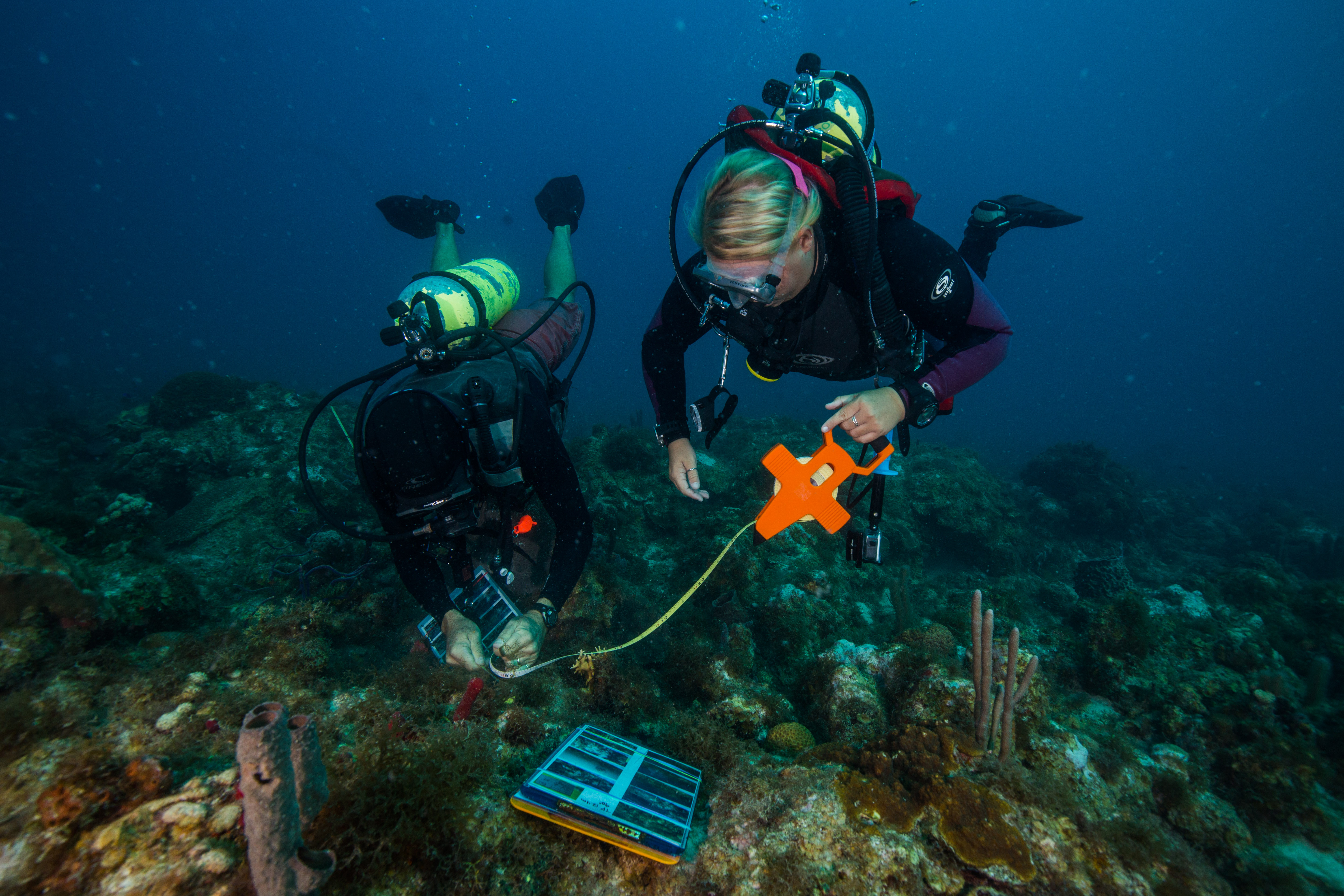
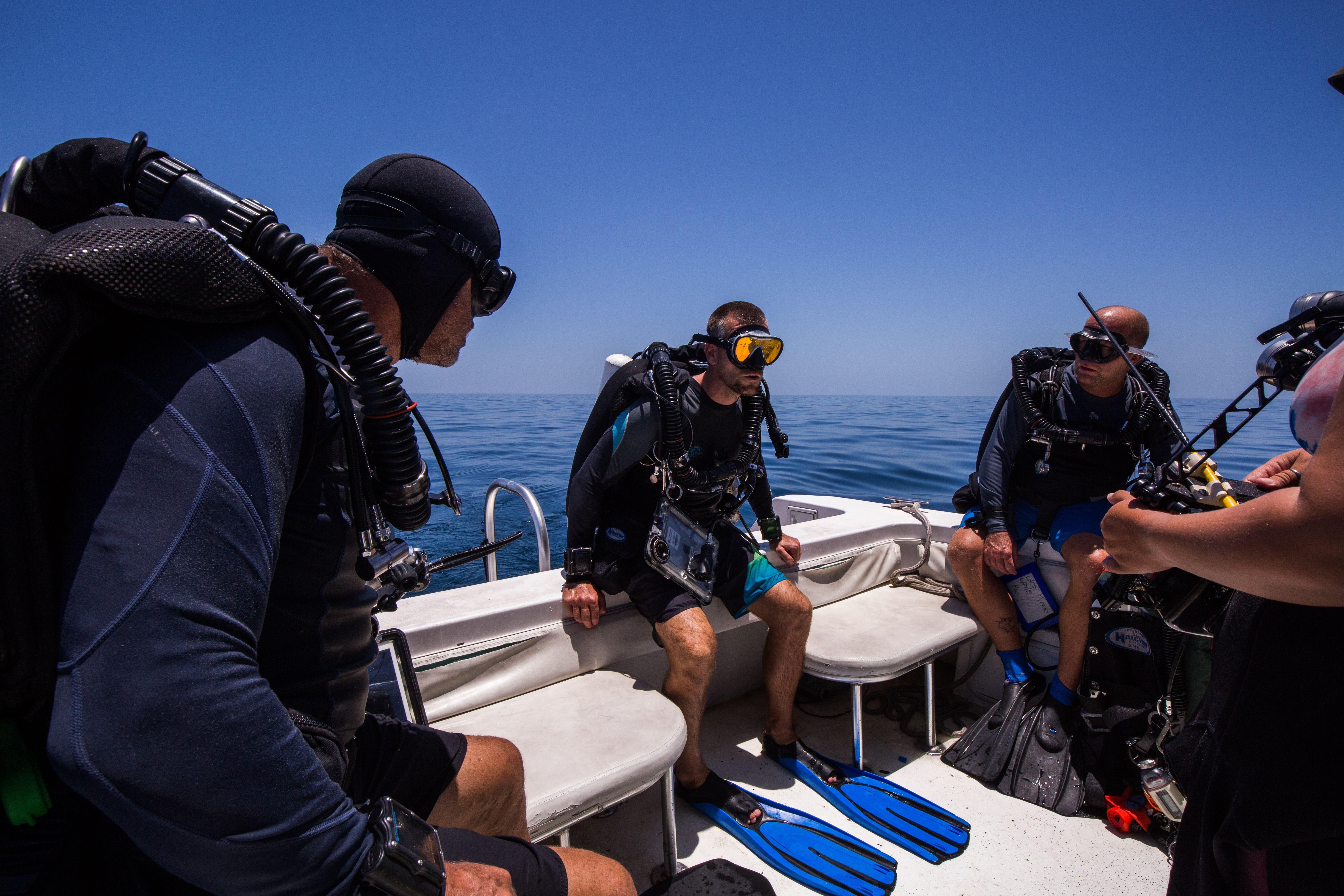
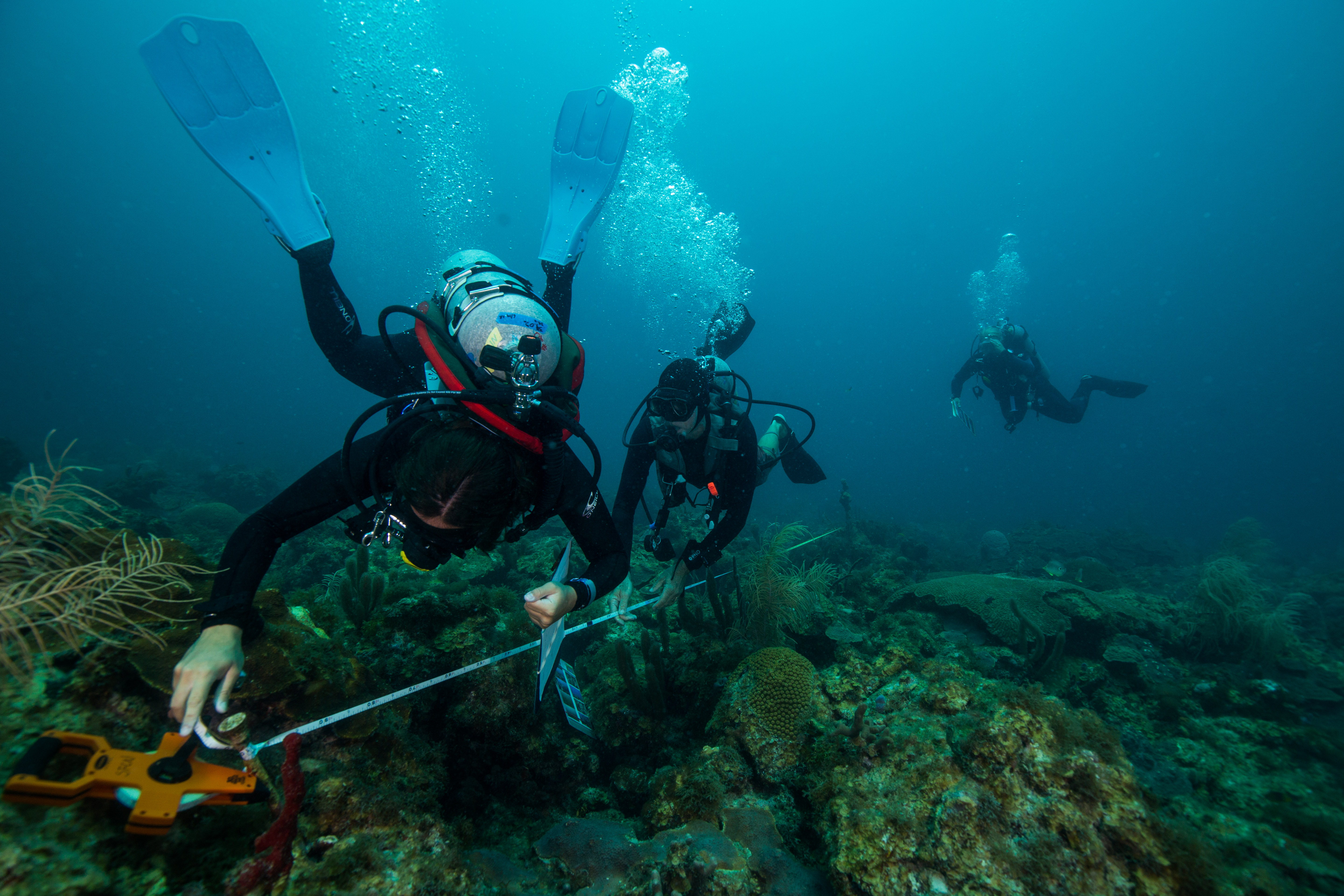
The Data Dash – National Coral Reef Monitoring Program on St. Croix


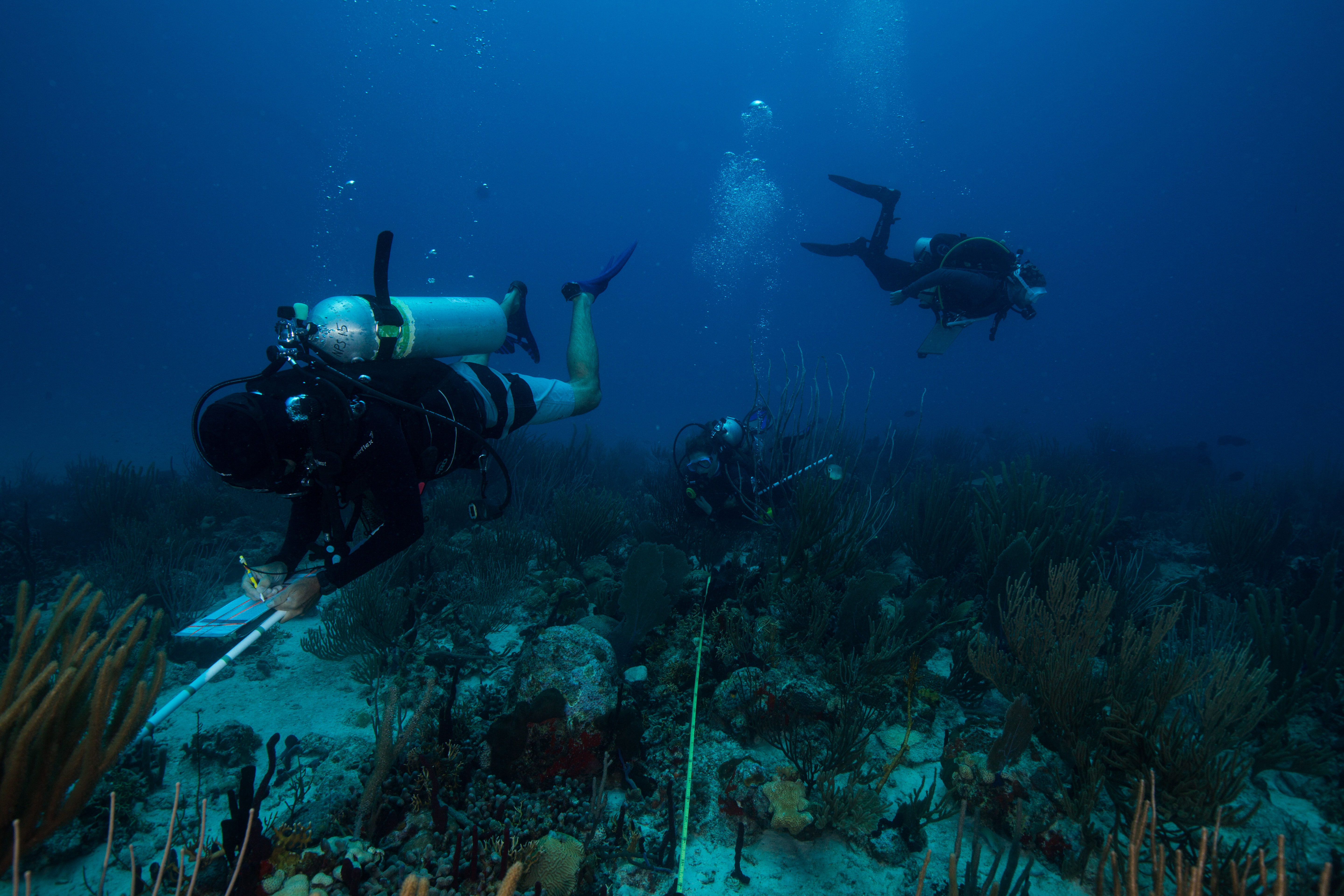
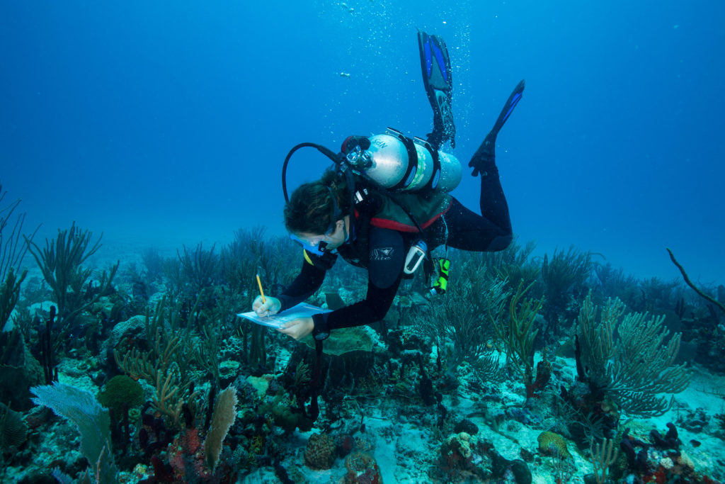
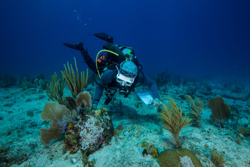
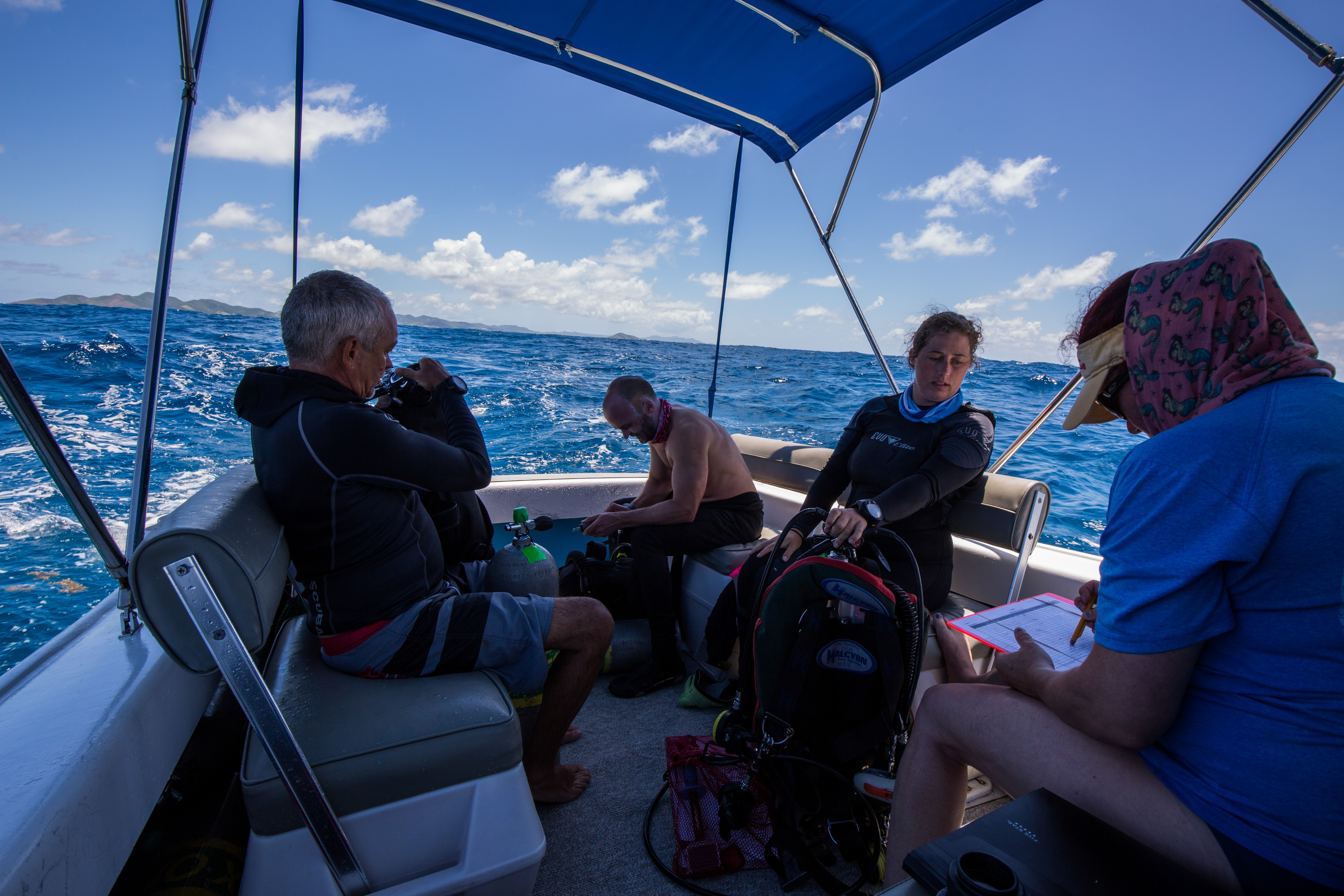
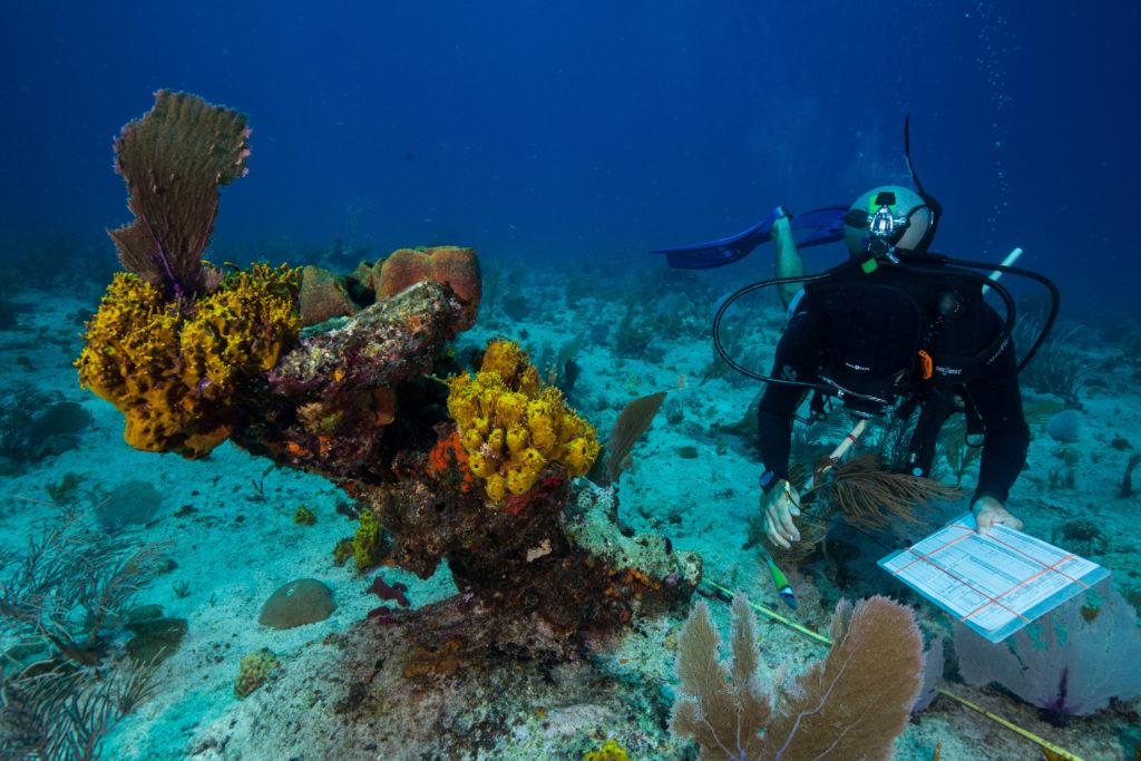
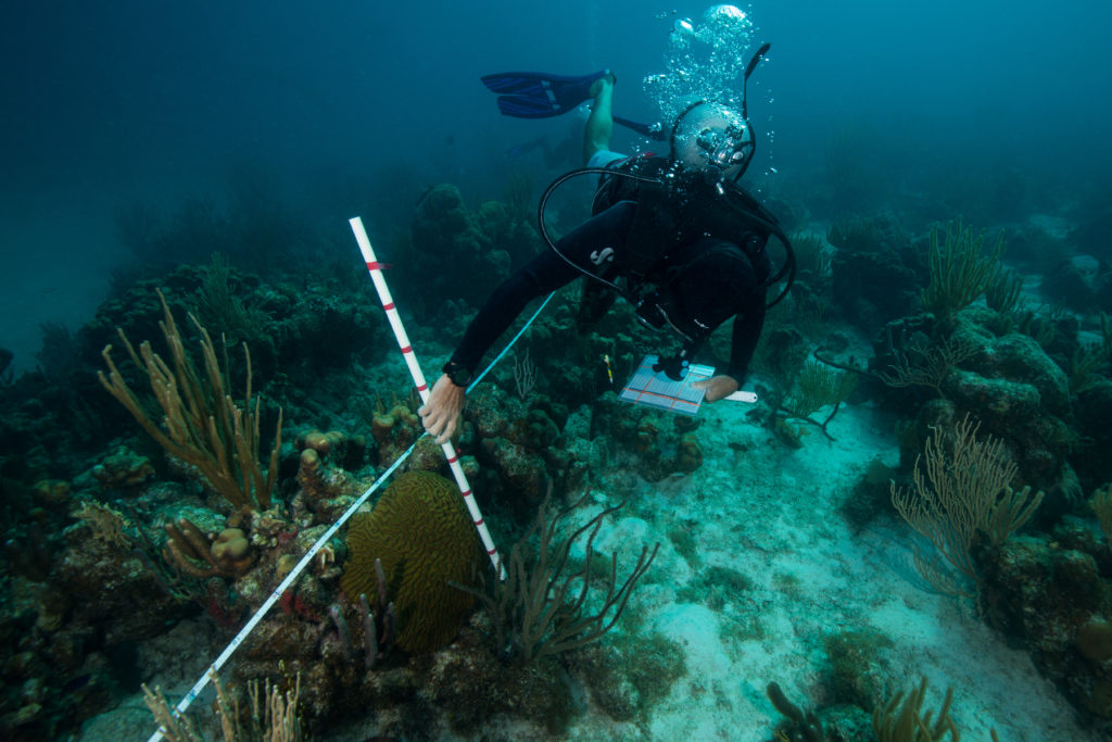
“300 feet!” Bouncing off the crest of a three-foot wave, our 20 ft vessel peaked and then slapped the water causing a mist of sea spray to envelop the deck. The sea was alive, but under the bright sun it still retained a serene Caribbean blue. “200 feet!” I looked across the deck at my fellow divers perched along the gunnel. Laden with slates, meter sticks, and tapes and bouncing along with the boat, the five of us looked (and felt) ready to go. “100 feet!” The cries came from Kevin, our captain, who was navigating to our GPS point. He glanced back continuously between the oncoming sets, checking on the readiness of the team and making sure no one had fallen in prematurely. “50!” As the countdown dropped, a silence fell over the back of the boat as the team waited for the final call. This had to be a precise drop, as we were aiming for a specific GPS point in an area with currents that could take you far off target with each second spent on the surface. I settled in, secured my gear, and made sure everything was ready to go. “Go!!” came the call, and in went the divers. After a brief surface check, the team went straight down and began the next mad rush of the hour – the data collection.


My time in St. Croix was a wild, hectic dash – but it had to be. I was here in the Virgin Islands to take part in the National Coral Reef Monitoring Program (NCRMP). This program, started as a collaboration with the NOAA Coral Reef Conservation Program and a large assortment of governmental/academic partners, monitors most of the coral reefs located in US waters. This amounts to a lot of surveying, covering reefs in the Pacific (Guam, American Samoa, Hawaii) to the Caribbean (Florida, Puerto Rico, US Virgin Islands). This is a colossal effort, requiring hundreds of people around the country to spend thousands of hours above and below the water. As well as frequent monitoring to collect a myriad of data on these reefs, this program also aims to standardize the methods of data collection as well as to collect data on a wide enough geographic spread to put sites into the context of the landscape – see how change at one site relates to that of their neighbors, or their distant relative. All that being said, we had a lot of work to do – with a goal of hitting 250 sites in two weeks, there was no time to waste.

As such a large program, it required lots of divers. This trip was composed primarily of four organizations: NOAA/NMFS, the NPS, University of Virgin Islands, and the Nature Conservancy. As such a large group the entire team rarely got together in one place, with the exception of an organizational meeting monday morning. This was held at a NPS building at the Christiansted National Historic Site, an old Dutch colonial settlement built on the island, in a repurposed warehouse originally built in 1749. Here I was able to meet the many members of the St. Croix NCRMP team.

After the meeting, each organization was split up into 6 different vessels and sent to different ends of the island, each with a different section of coastline to survey. Within those areas, each team was given GPS coordinates for new sites daily. These sites were randomly generated to obtain unbiased data and were stratified by depth and habitat type to encompass a diversity of environments.

A wide variety of depths were sampled, including ones that could have been snorkeled

While there was lots of data to be taken, I was starting the week off taking photos, working to document the survey methods. I was also doing a bit of shadowing, to learn the species of these clear Caribbean waters. This was a new area to me – I’d never dove in the Caribbean (or the Atlantic for that matter) and hadn’t done any tropical diving in four years. That fact alone made this trip quite the novelty – I learned to dive and got my first few certifications in warm water, but then jumped over to cold water while in college and hadn’t come back to the warm side since – so diving in a 3mm wetsuit with no added weight was a forgotten luxury. The 80-degree water was pretty nice too. I’d spent the last couple weeks in water averaging 38 degrees and the past couple years diving in the mid 50-degree Californian waters, making the tropical water was a welcome relief. This was also some of the nicest visibility I’d seen in a while. Overall, I was heavily enjoying my re-introduction to warm water diving.

While shadowing and photographing my team, I learned the down-low of the survey methods. I’d read about them in the mission protocol document, but nothing compares to seeing them in action. This program collects data on corals, fish and benthic cover, with the primary objective of determining the health of the reef. Each survey team was comprised of four divers: a coral demographic diver, line-point intercept diver, and two fish divers. Coral and fish divers surveyed coral and fish respectively (big surprise), collecting data on species, size, and abundance to determine health and diversity. Line-point intersect (which is the role that I was going to assume after my shadowing and photographic obligations ended) was responsible for collecting percentage cover information with species, substrate, and relief data that was collected under predetermined points on the meter tape. This data is used to get an idea of the overall character and species composition of the reef.

The team hard at work

Through my shadowing I got a close look at seasoned surveyors doing their thing in the water and was able to observe them at work. My team consisted of mainly NOAA folks: Kim Edwards, Laughlin Siceloff, Erin Cain, Michael Nemeth, as well as a diver from the Nature Conservancy, Allison Watts. Allison, as I discovered on one of my first days on the boat, is also part of the Our World Underwater family – she was the 2012 Monterey Bay Aquarium Dive Safety intern! Small world! Everyone apart from Allison and myself had had lots of experience with these protocols and species, so they were excellent resources for me to run all my questions by.

Each day was action-packed with diving: we’d start off by boating out towards our first assigned site of the day, do a quick drop, descend on our site, collect the data, and head back up for another one. Each team was given five sites to handle a day, which was relatively achievable given the survey protocol. Dives averaged between 30-45 minutes, so this ended up being only around 3 hours in water a day. And with this type of repetitive, back-to-back diving, time really flies. Each day went by in no time at all, with the only real surface interval we needed being the transit between sites (thanks nitrox). That time was occupied as well, as the team switched tanks and data sheets, as well as the obligatory disinfecting of survey gear. One of the big things that this program is looking for is coral disease, which is hypothesized to potentially be able to spread via divers. This resulted in a thorough gear disinfectant protocol, with everything requiring a sterilizing soak between dives and at the end of the day.

Surface intervals are busy too, full of tank switching, data transcribing, and gear disinfecting

After spending the first couple days photographing the team at work and the sites, I moved on to data collection. At first, I was just collecting mock data, allowing me to get hands-on experience and later compare my work to others to see how I did. With such a rigorous dive schedule, I got plenty of practice. While I was initially scheduled to continue doing these mock surveys for a while longer, an unexpected turn of events left us a team member down and I was thrown into the mix – it was time to prove myself. Thankfully, my practice had paid off (and the sites weren’t incredibly diverse, allowing me for an easy intro to the line point intersects) and I was able to complete all my work and not hold the team up for too long.

As someone who’d never dove these waters and hadn’t been on coral reefs in years, I thought the marine life was pretty incredible. The sea floor on most sites was covered in gorgonians and basket sponges, with assorted fish traveling through them. I saw lots of nurse sharks, garden eels, big rays, barracudas, octopuses. On one memorable dive we descended through a layer of gelatinous zooplankton so thick that you couldn’t see through them – it looked as though you were dropping into a bottomless ocean until you’d cleared the cloud of ctenophores, cydippids, and salps. While not every site was beautiful (randomly selected survey points works like that sometimes), that made the nice ones even more special. We ended up on some nice patch reefs, ones with enough coral to put the team to work. We also had the pleasure of diving with a curious group of dolphins on one of our surveys – which, let me tell you, is not distracting at all. They even stuck around for our safety stop, where I was able to watch one breach from underwater. It was incredibly elegant to see and looked like it effortlessly left the water.

Despite my wonder at all these new species, I couldn’t ignore the fact that these reefs weren’t healthy. As the LPI diver, it was jarringly obvious to me how much macroalgae I had on my transect. It was also very clear to me that the substrate that this macroalgae was on most of the time was coral skeleton. Bleaching and disease have ravaged these reefs, making life as a coral colony very difficult. I was an inexperienced disease-spotter, but I listened to my team talk about it on almost every surface interval. Thankfully, it wasn’t too prevalent on our sites, although it was there. The death of the coral colonies creates available substrate that is quickly colonized by opportunistic macroalgae, creating a bland monochrome landscape where vibrance used to thrive.

This pillar coral (Dendrogyra cylindrus) is dead on its lower half, where macroalgal species have already established themselves

While this particular reef has some nice patches of coral, it’s easy to see the numerous clumps of macroalgae covering all the area in-between.

If bleaching and coral disease weren’t enough, these reefs are also subject to intense hurricanes. Recently devastated by Hurricane Maria in 2017, the subtidal systems here are still recovering. St. Croix gets hit or brushed by hurricanes every 3 years or so on average, with hits by serious storms every 18 years. Tropical storms like these create a cooling effect that can be beneficial for coral reef ecosystems, as it relieves them of potential heat stress, but they can also be heavily damaging. Strong storm-induced waves can destroy coral colonies, especially the more delicate branching forms (like Acropora spp.). These storms can also flush anthropogenic nutrients into the nearshore environments, creating fuel for fast-growing algal species who can compete with coral larvae for space. The violent effects of these storms were bluntly presented to me when we conducted surveys on sites in an area known as the ‘Haystacks’. The haystacks are huge piles of skeletons of Acropora palmata, or elkhorn coral, all broken up by years of hurricanes. These piles are massive – easily 25-30 feet wide and up to 20 feet tall – and are almost completely devoid of coral growth. Typically, when Acropora corals are broken up from storms, the fragments can reestablish and continue growth, but that wasn’t the case here. Standing tall, dead and covered in algae, the haystacks were a poignant image of the unfortunate state of coral reefs to me. What at one point was a literal wonder of the natural world, a gigantic branching maze of living creature, now lies dead in a huge pile – a mass grave of coral.

My week in St. Croix went by fast – the daily schedule jam-packed with diving made the week fly by, causing Friday to feel like it came mere hours after Monday evening. While exhausting, this repetitive survey diving is something I love dearly. I started diving doing biological surveys on coral reefs and gained most of my dive experience conducting monitoring dives in California’s kelp forests, so jumping back into survey diving and swimming up and down a transect tape felt like a welcome home. As a marine biologist by training and an avid marine conservationist, the value of marine monitoring programs isn’t lost on me.  I’m grateful that I’m able to take part in such a large-scale program such as NCRMP, especially when considering the state of coral reefs today. Work like this couldn’t be more important, as these monitoring programs allow for widespread dissemination of invaluable data on ecosystem condition and health, hopefully up to the governing bodies that have the power to make the huge changes necessary to save these struggling seas.


Share

Behind the scenes of dive safety: Hyperbaric chambers and cylinders

“The bends” — or decompression sickness (DCS) — can be a serious dive-related injury that results from inadequate elimination of accumulated inert gases (like nitrogen) from body tissues. The body absorbs more gas from breathing while diving than it does at the surface in attempt to equilibrize gas concentrations in tissue with the increasing ambient pressure of the surroundings. Therefore, to reverse this process and eliminate the accumulated gas, the reduction in ambient pressure must be slow and controlled. For this reason, it is recommended that divers do not exceed an ascent rate of 30 feet/9 meters per minute and they perform a safety stop to wash out as much remaining gas that was accumulated under pressure as possible. In the event of a rapid ascent, inert gases are not properly washed out from the body tissues and the person becomes “bent.”

If a person is suspected to have DCS, they will be sent to the nearest medical facility to be evaluated by a physician, and then DAN will contact the nearest available hyperbaric facility for treatment.

A common misconception about hyperbaric treatment of DCS is that it causes bubbled nitrogen in the body to re-dissolve back into the blood. The real benefit to hyperbaric treatment is that the act of breathing oxygen at increased pressure and concentration creates a pressure gradient. This gradient allows for more effective removal of other gases in the body (like nitrogen) through exhalation and addresses the inflammatory response to aid in healing as well. Hyperbaric medicine is not just for scuba divers, because the benefits of high concentrations of oxygen can be used to treat serious infections and heal wounds resulting from diabetes or radiation treatment, as well as treat other indicated conditions.

The entrance and inside of the chamber “Charlie.” Operating lights are visible hanging from the ceiling because the chamber was originally intended for use as an operating room for open-heart surgeries. Since the invention of the heart and lung machine (at the same time as the chamber was finished), this is no longer needed.


Duke’s hyperbaric medical facility has an interconnected multi-place chamber system, and recently the other DAN interns and I received a tour of the facility from Eric Schinazi, a hyperbaric chamber specialist at Duke. He shared with us the history of the chambers, how they were built, how they’re controlled, and how air is compressed.

The control panel station for all the chambers at Duke. Pressure gauges are visible (large round circles) and are very similar to the pressure gauge on scuba cylinders.

While we were touring the chamber, there was a research project being conducted on oxygen toxicity. We got to peek into the research chamber to see how the research subject was preparing to exercise while breathing compressed gas in the chamber.
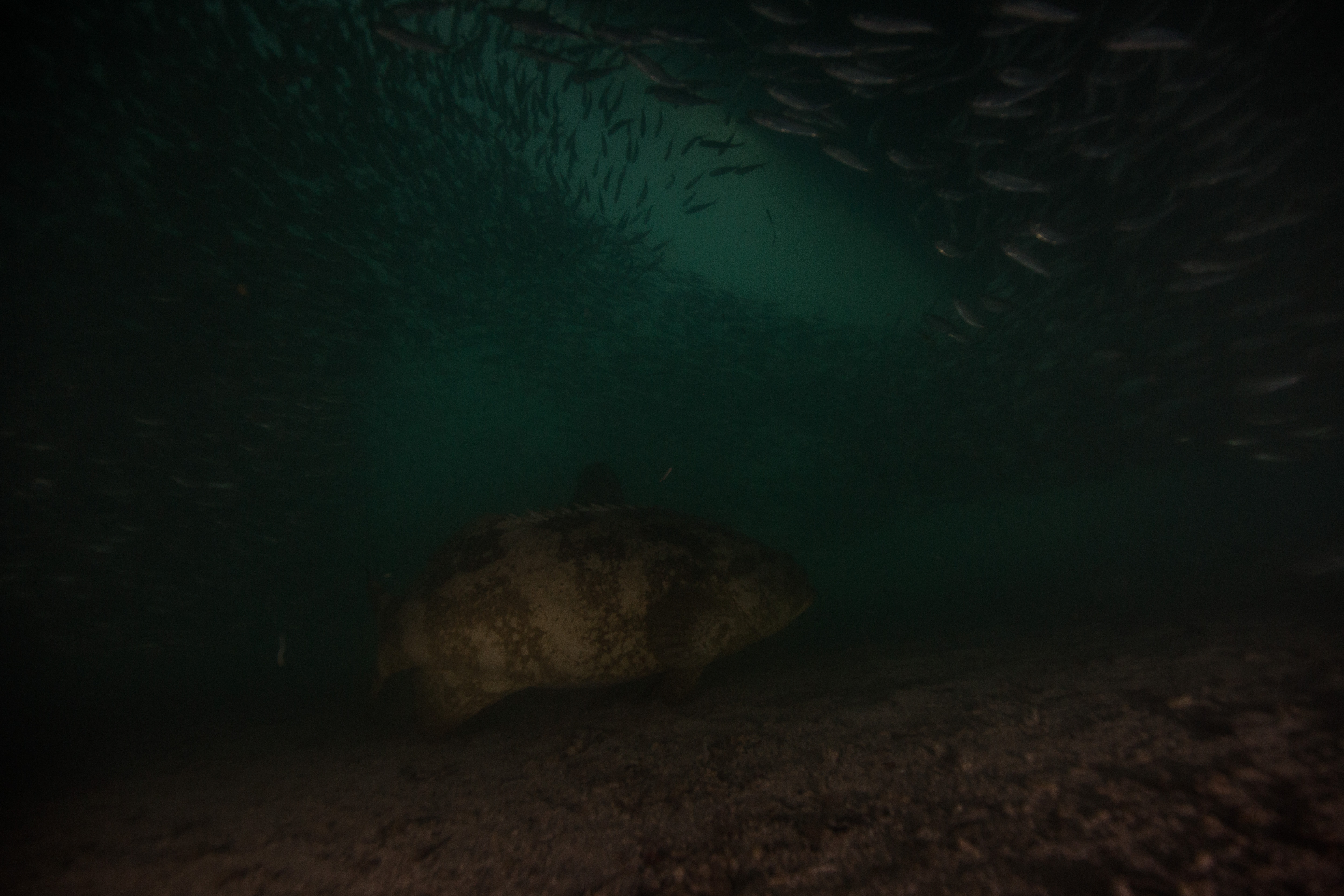
Looking into the small pool in the research chamber. The research subject is preparing to exercise on a bike sitting under the water. He is connected to various sets of electrodes and a respirometer for monitoring outside the chamber.

A big thanks to Eric for such a wonderful tour! I hope to stay out of hyperbaric chambers during my diving career, but it was a great experience to learn what hyperbaric treatment involves.

Cylinders:

Speaking of compressed gas, last week DAN employees and interns also had the opportunity to visit the Luxfer aluminum cylinder manufacturer where we learned how the cylinders are made and tested — it was like an episode of “How It’s Made”!
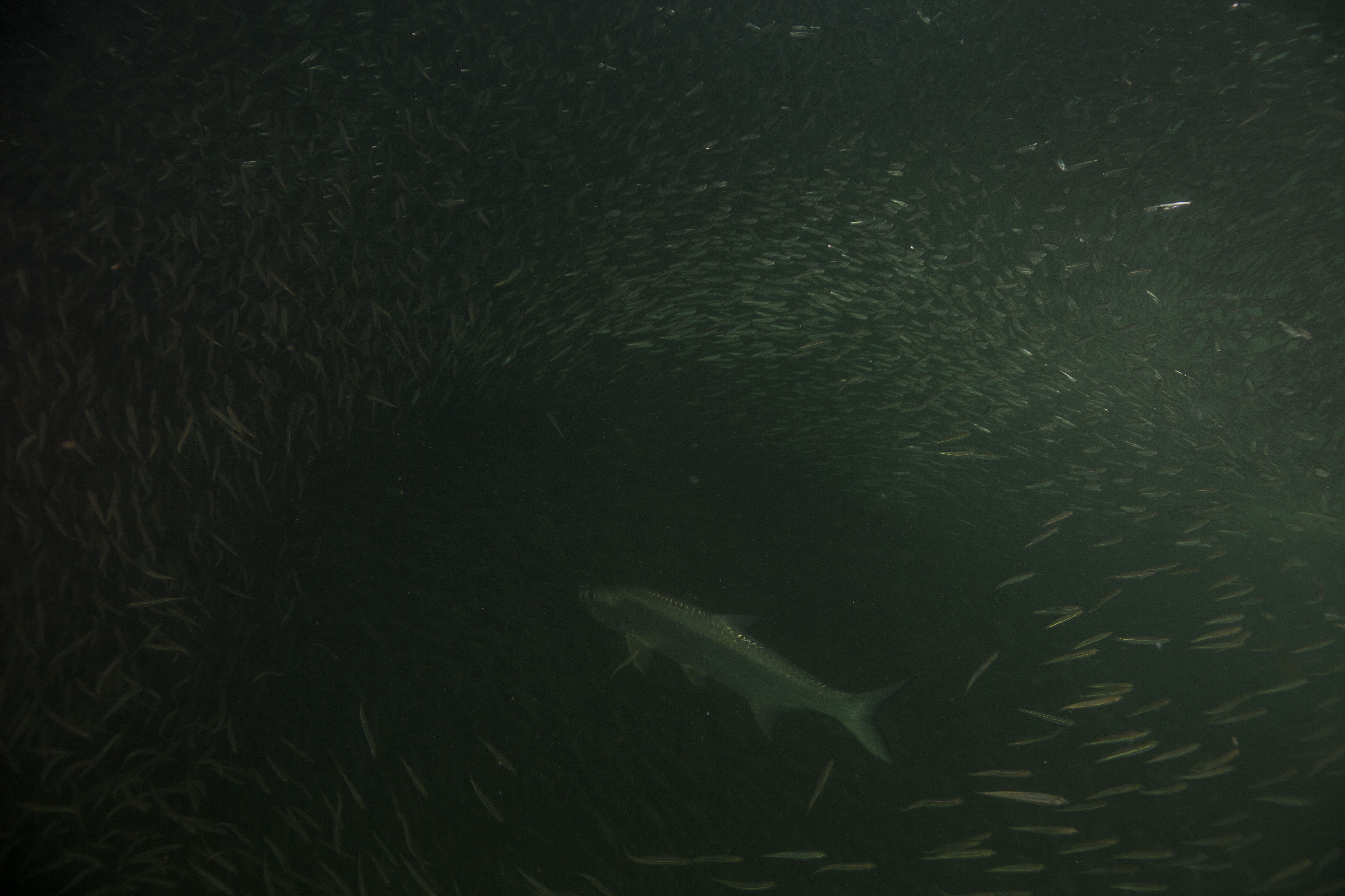
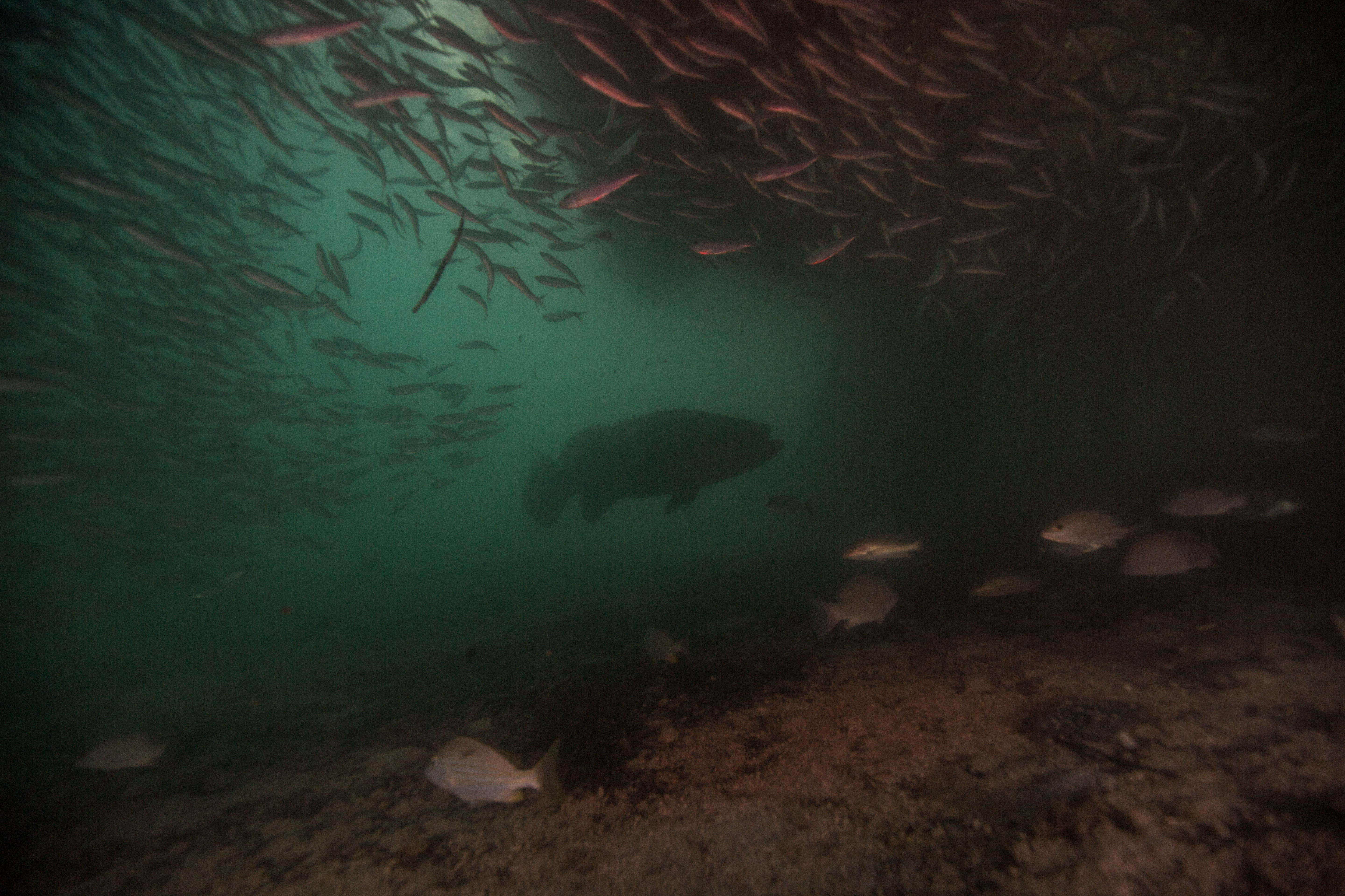
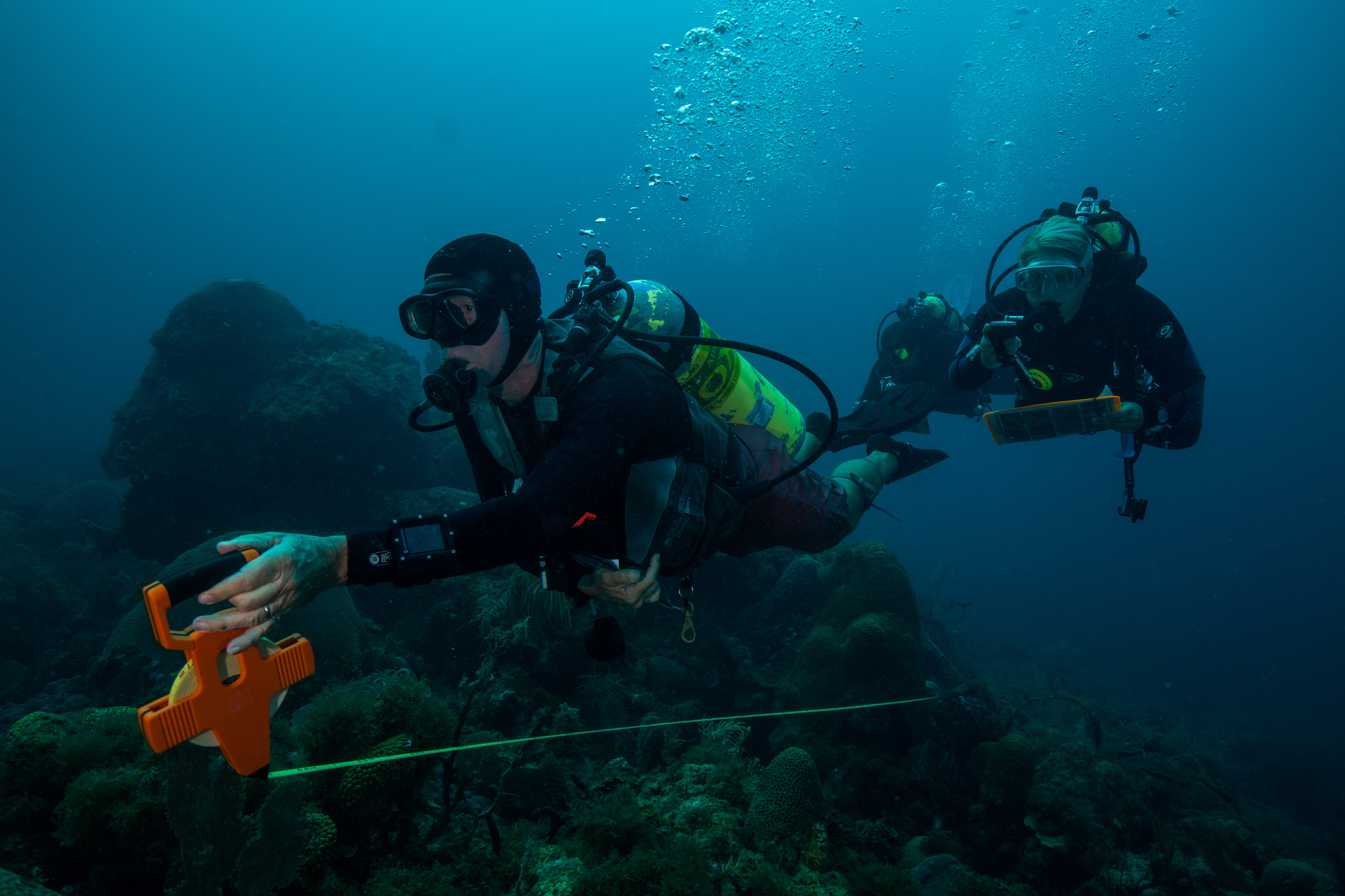
Cylinders are created from one piece of metal and formed into their shape through heating and pressure manipulations. Pictures were not allowed in the factory, so to get an idea of what the process looked like, you can check out this YouTube video of steel cylinders being created. It is generally the same process, except for minor differences between steel and aluminum cylinder production and details unique to each processing factory.
A ruptured cylinder. Cylinders are designed to split like this in the event of an explosion, to avoid fragmenting and shrapnel. This proves how essential it is to take good care of gear.

While at the facility, we also had the opportunity to take a visual cylinder inspection course from Mark Gresham, CEO of PSI-PCI (Professional Scuba/Cylinder Inspectors).

All cylinders need to have a visual inspection at least once per year (and hydrostatic testing every 5 years), but visual inspections should be done more often if there is reason to believe the cylinder may have sustained damage. This could be from dropping a cylinder, running the cylinder dry (because this greatly increases the risk of water getting into the cylinder), heat exposure, or after it’s been stored for a long period of time. In the event of an explosion, cylinders are designed to split down the middle (photo to the left) to avoid fragmenting and shrapnel.

Mark also was very generous to meet with us at DAN earlier this week to continue educating us on Oxygen cleaning and cylinder valve inspection. I took my first valve apart, and then put it back together! Let’s hope it still works!


A special thanks to Mark for his generous time and for sharing loads of knowledge with us.

I am very thankful to this opportunity from OWUSS and DAN to gain so much exposure to all the different fields that play a role in making diving functional and safe, as well as the opportunity to learn from people at the top of their fields.

This week underwater:

“Stop polluting our water!”—A message from the fish.


Share